Time: 7hrs 15 mins (including 1hr 45 mins of stoppage!)
Distance: 12.5 miles
Ascent: 1520m (4,988ft)
Munros: Ben Vane (916m), Beinn Ime (1011m)
Meteorology: Hazy sunshine, cool wind on summits, later heavy showers
Attendees: Many, but myself, Dave and Peter completed the walk
Route: View on OS Maps
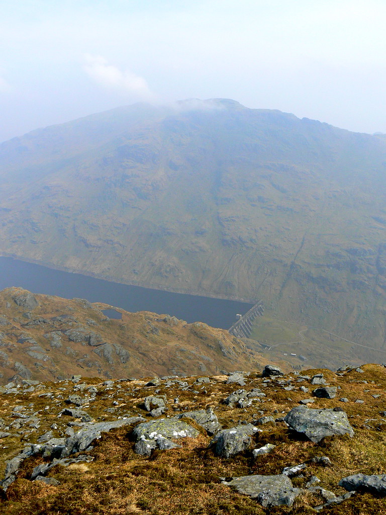
A weak sun lights the dull, grey waters of Loch Lomond as the Inversnaid ferry plies across from a far shore wreathed in cloud. The long drone of a piper starts as the guests climb the jetty up to the Inveruglas visitor center where a car park is already struggling to contain the early starts. Here we are, adding to the multitudes, booting up and then heading across the road towards the Loch Sloy turning. The Sloy hydro station stands silent as we troop down the road, a multicolour line of troops marching to do battle with the hill.
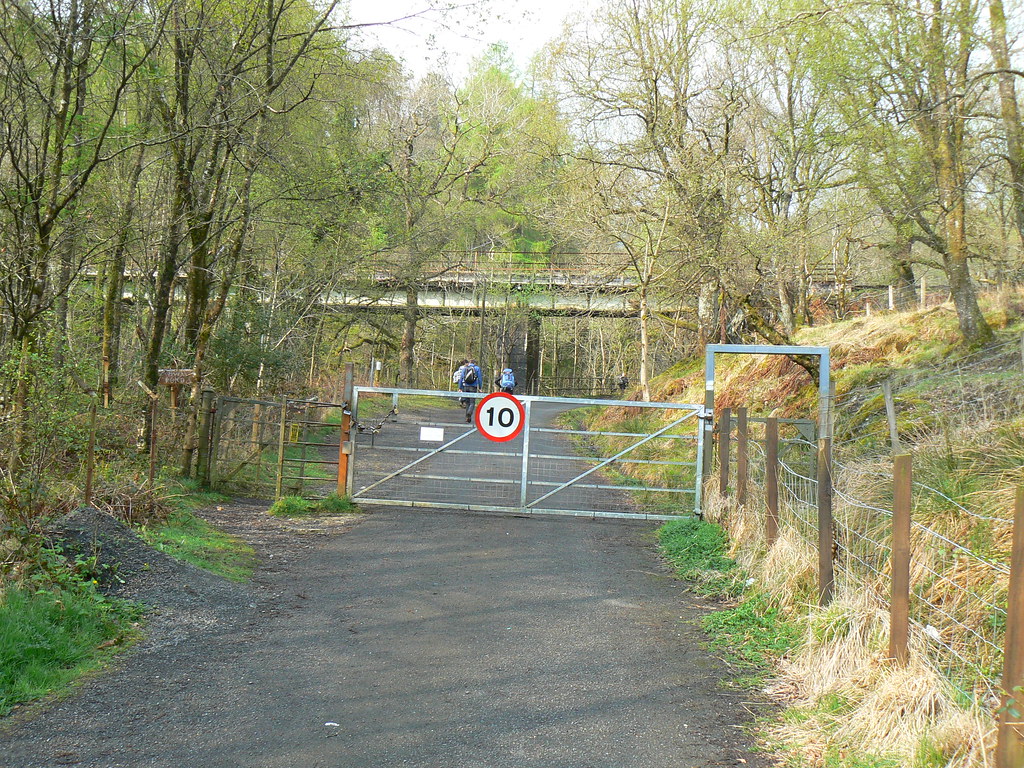
As the main road turns sharply left we turn right and head under the West Highland line. From a gate ahead hangs a 10mph speed limit sign but we don’t alter our pace. Through the gate and up the tarmac road towards Loch Sloy we head. As the road climbs up past the distribution station we get a hazy view back over Loch Lomond and ahead to the cloud-capped summit of Ben Narnain’s outlying top A' Chrois.
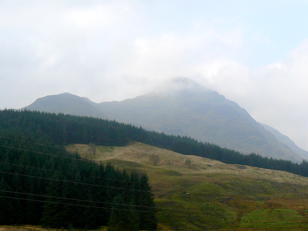
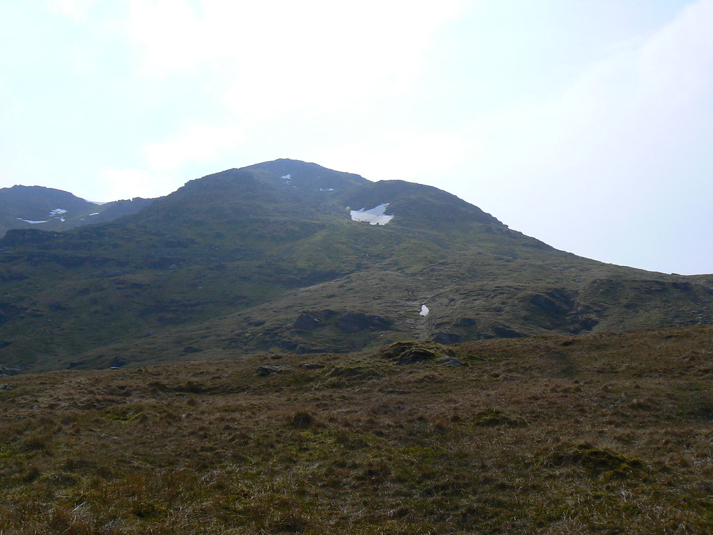
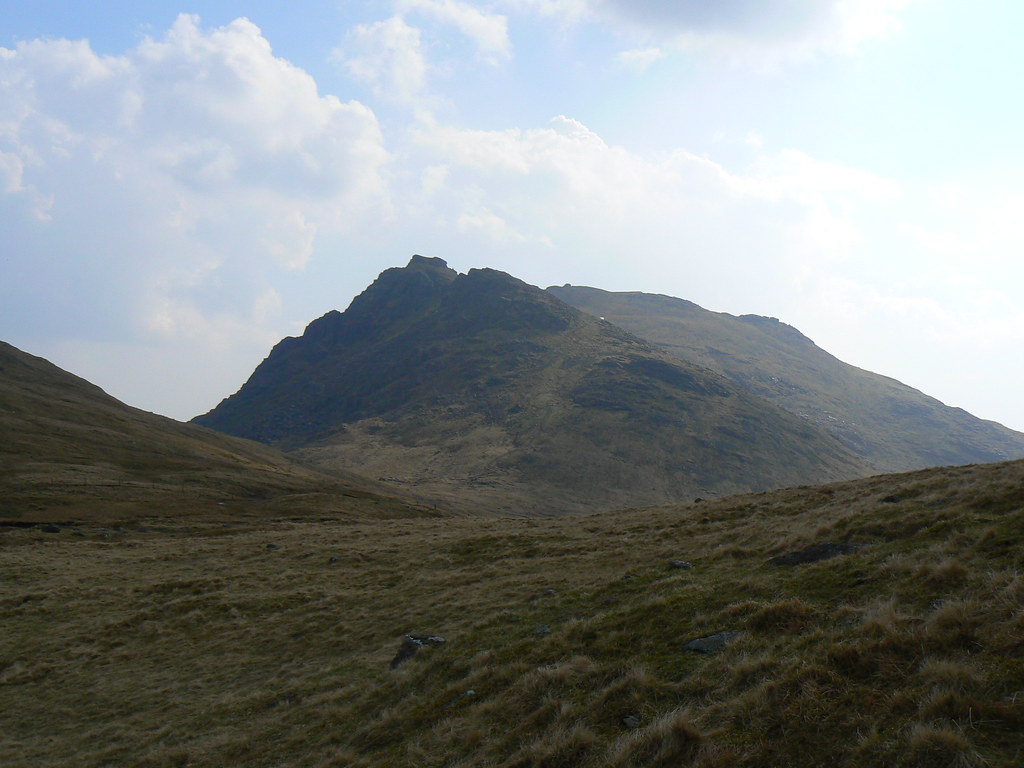
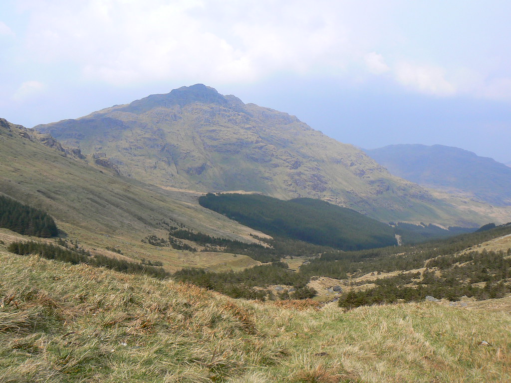
Rounding the shoulder of Ben Vorlich gives us our first sight of Ben Vane, its jagged summit appearing briefly as cloud moves through.
We followed the track to the bridge just below the Loch Sloy dam and then crossed the river. The track then climbed steeply up the lowest flanks of Ben Vane before reaching a small burn coming off a final outlying knobble of the mountain’s southeastern ridge (295093). Here we left the road and headed alongside the burn. The ground here was extremely boggy but soon led onto a steep slope, a riven track taking us up onto the ridge and giving us a great view up the mountain.
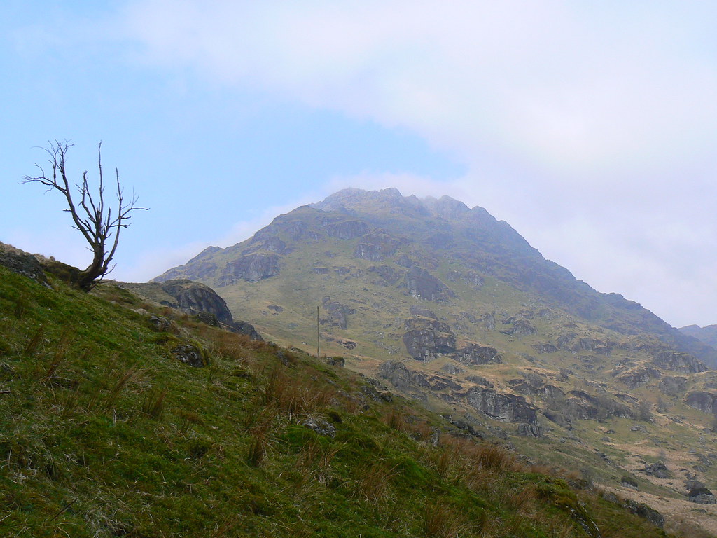
A few people could be seen winding there way up and we were soon following them. The views opened out just as the cloud started to lift. The steep slopes of Ben Vorlich above Loch Sloy and in the opposite direction the summit of Ben Narnain. In the stronger sunshine the climb was hot work and in the shade of an overhanging crag we paused for a drink of water and a bite to eat.
After the gentler lower slopes it is from here that the going gets considerably steeper. A well trodden path though gets you higher very quickly, winding around several craggy outcrops that spill down from the mountain summit which gets closer and closer with each step. Off to the north the dam on Loch Sloy could be seen below Ben Vorlich.
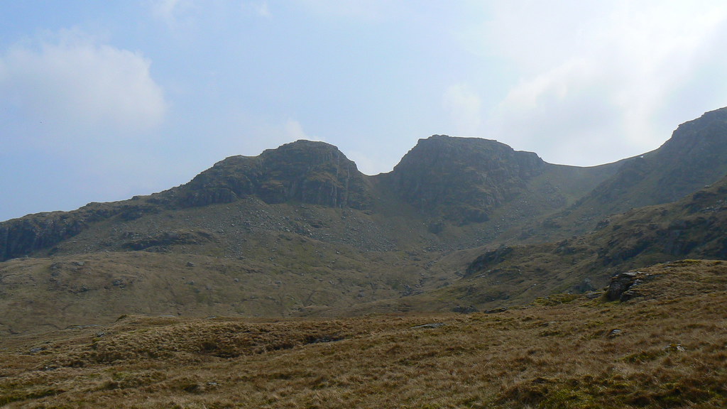
Not far below the summit there is a good opportunity for some scrambling. I found at least three different ways of getting up this short section of rocks, one of which was slippery with falling water.
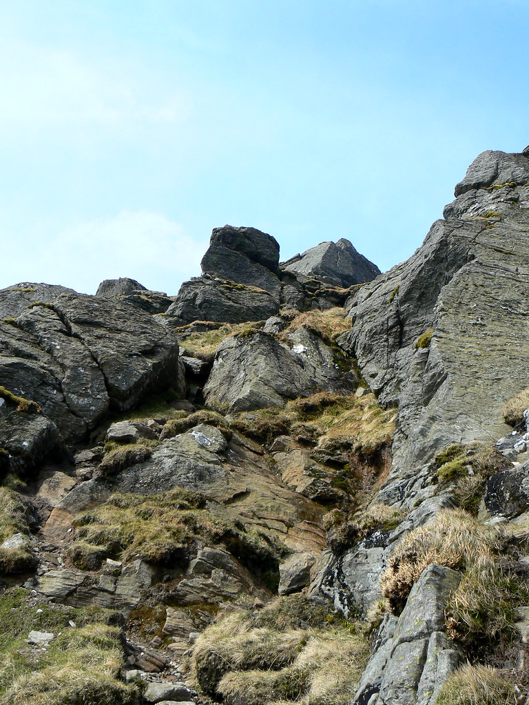
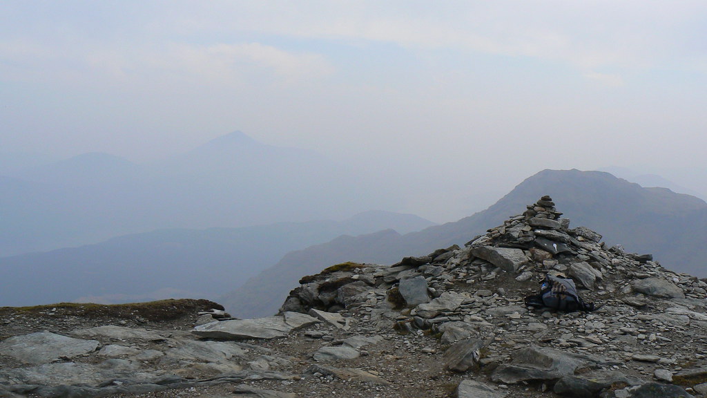
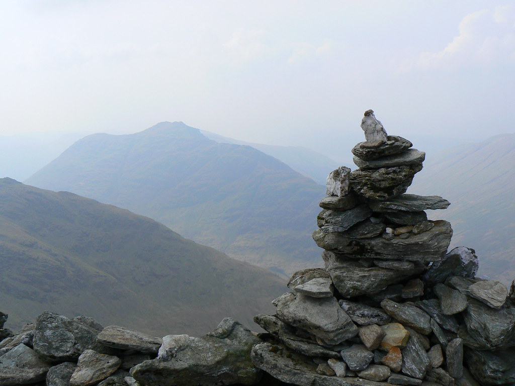
Once overcoming this the summit came into view and the last few scrambly steps brought me to the summit cairn.
This was balanced somewhat precariously on the very edge of the southern side of the summit area. I took a couple of summit shots and then sat around in the stronger sunshine waiting for the others to catch up. Out of the wind it was a very pleasant day.
After the summit we dropped down the broad, though decidely craggy western ridge of Ben Vane just above the feature labelled as Lag Uaine on the OS Map. The descent was very steep on greasy grass but it was possible to pick a way that avoided the worst parts. In places there was a track we followed which took us around the dangerous crags.
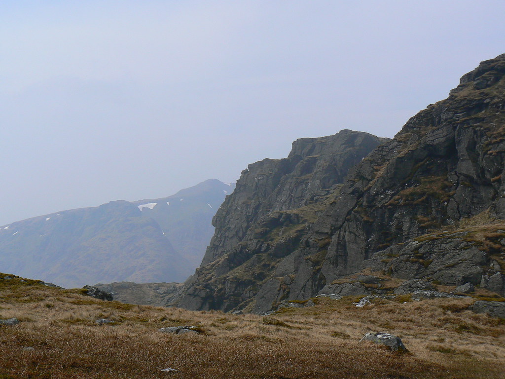
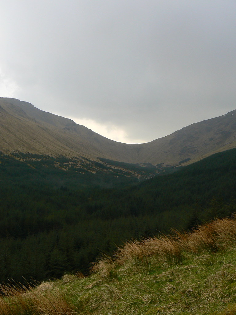
In fairly short order we had crossed the floor which forms the head of Gleann Uaine on the north side and were climbing up steep slopes towards Glas-Bhealach between the main summit of Beinn Ime and Beinn Chorranach to the north. The burns shown on the map have carved deep notches between the rocks higher up so I picked a route that took us across them and then up on the left bank from 264094 up to the Bealach.
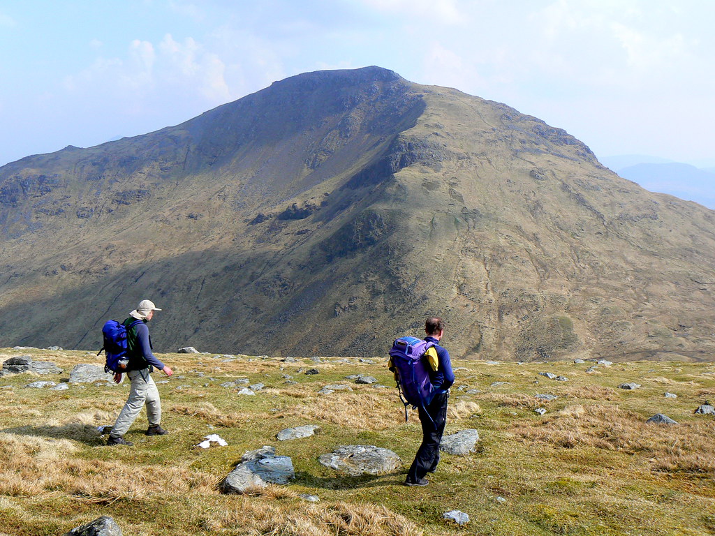
From this point, after pausing to admire the views west we continued up the very steep slopes of Beinn Ime. This was extremely tough going with a mixture of greasy grass and boulders making progress slow. Only higher up, a few hundred meters from the summit, did a track appear. This was over at the eastern edge taking you just above the crags shown on the OS Map. Once on the track it was slightly easier going until finally the summit came into view.
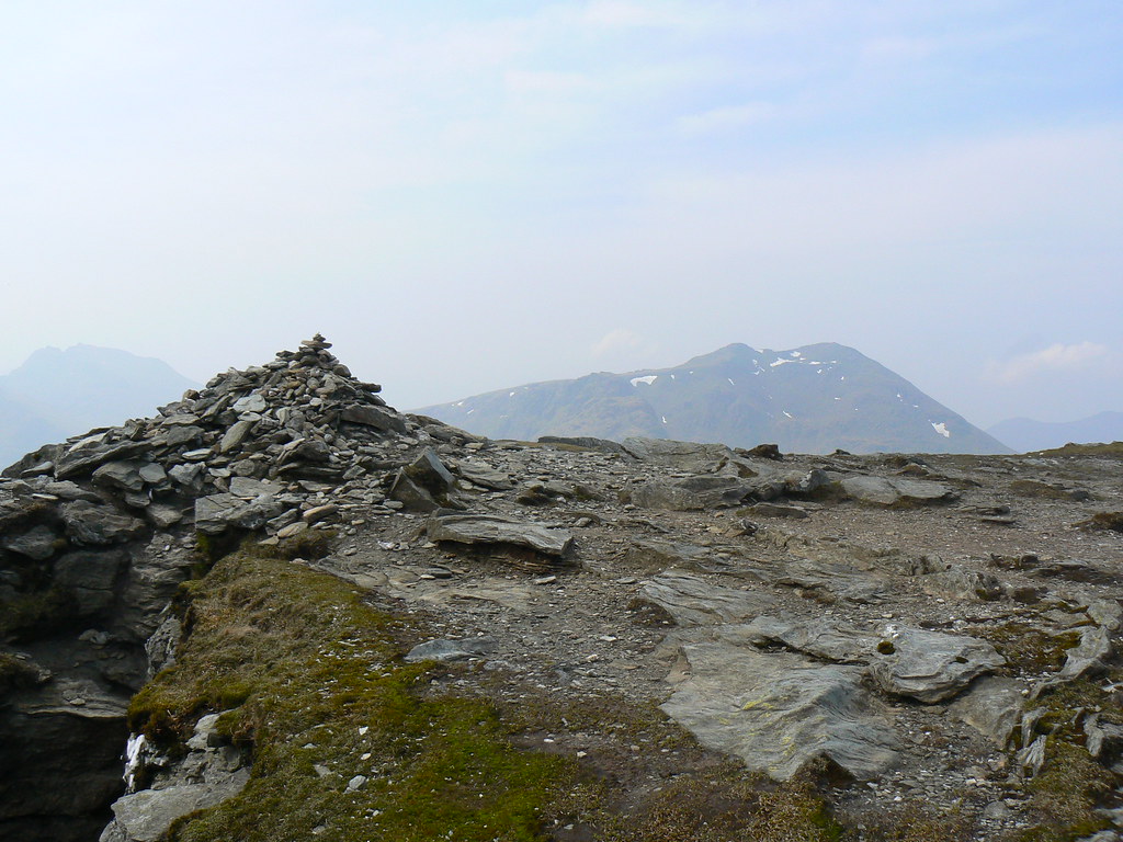
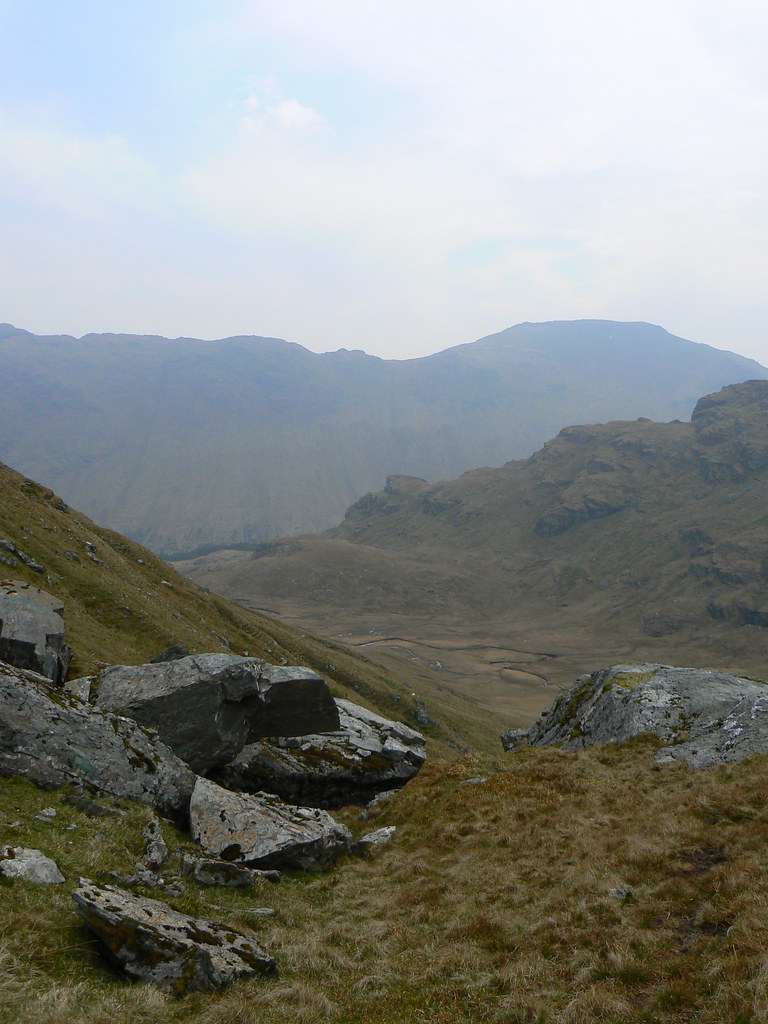
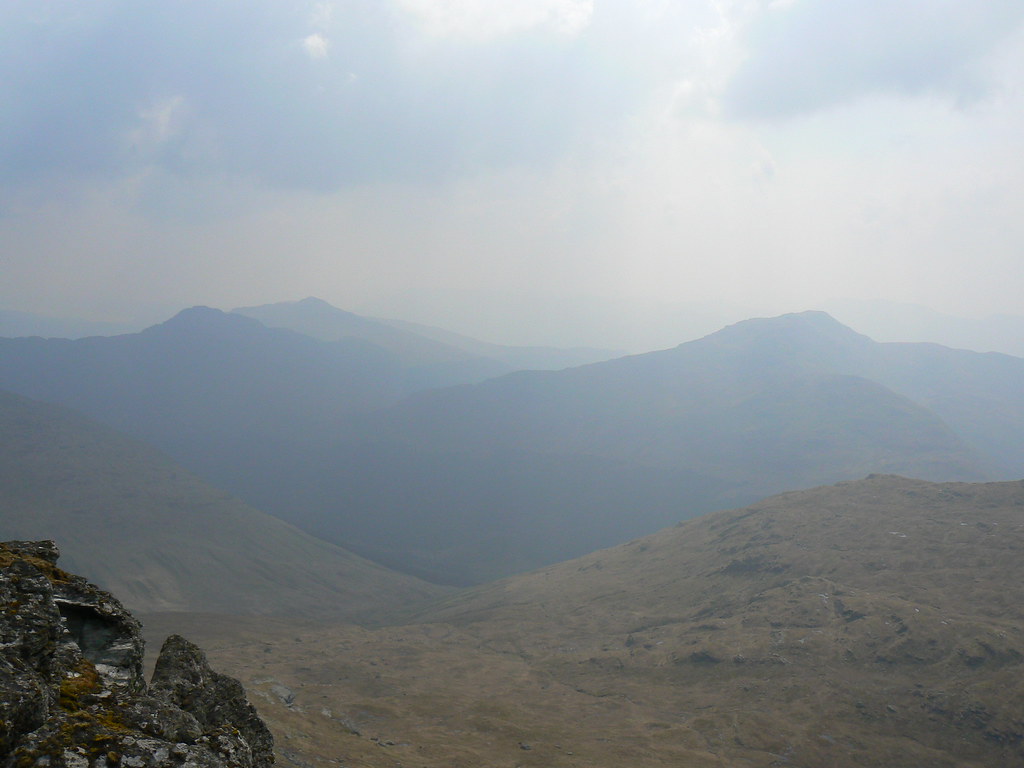
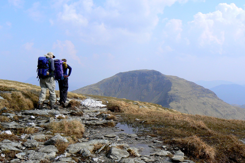
It was an absolute delight to reach this point. The haze had lifted slightly and we had fabulous views from Ben Lomond in the east, the Cobbler to the South and straight into Glen Kinglas to the west. Ben Vane close by looked glorious and there were people still on its flat summit.
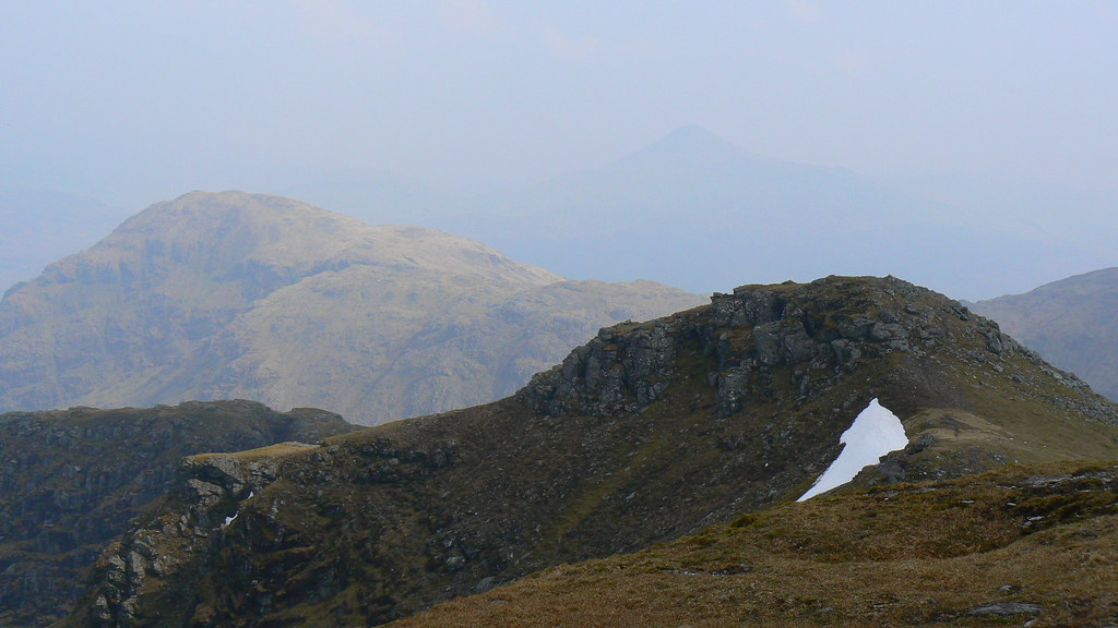
Ben Narnain too looked close but a dinner appointment meant this would have to wait for another day.
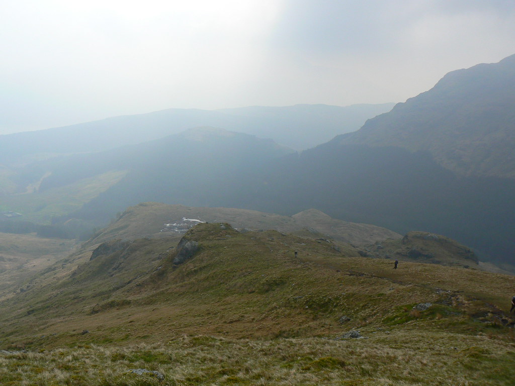
We dropped off the summit following a very well worn track on the southern ridge which was broad and very different to the previous terrain. It gave us magnificent views onto Narnain and the Cobbler. Down in the glen we could see the track which would lead us out.
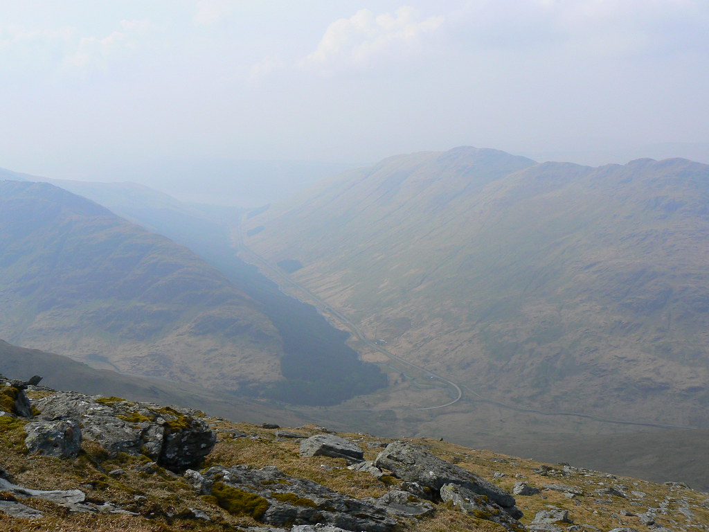
After descending to the Bealach a' Mhaim we dropped steeply down by the side of a fence which took us down to the very edge of a new plantation of trees. From here we picked up a gravel track on the south side of the Allt-Coiregrogain. Not wishing to continue on to Arrochar though we left this at a point above a ford, dropped through the trees and crossed onto the north side where we picked up the main track back towards Loch Sloy.
At this moment a heavy April shower which had swept up the glen deposited itself upon us and we sought shelter in the trees whilst it passed. Waterproofs on we now had a damp stroll back along the track, passing the various sluice gates and eventually meeting back up with our inward route. Here we met people again including a bunch of campers who didn't seem impressed with the thunder that was now rumbling over Arrochar.
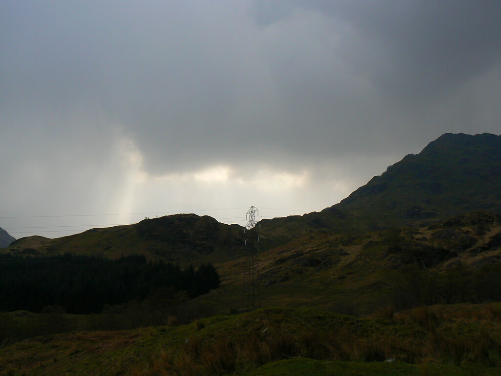
Ben Vane was caught in the gloom of another shower as we passed once again under the railway line and returned to the car at Inveruglas.