Distance: 19.38km
Ascent: 1034m
Time: 5hrs 55mins (including stops)
Hills: Carn a'Ghille Chearr (710m), Creagan a'Chaise (722m)
Weather: Incredibly strong wind, some sunshine and cloud
Route: View on OS Maps
There's probably a little piece of Eastern mysticism relating to the fact that a little wind never hurt anyone. I was repeating this mantra to myself every step of the way along the broad and exposed ridge that curves around to the summit of Creagan a' Chaise, a Graham perched high above Speyside and close to the infamous Haughs of Cromdale. It marked the high point of Sunday's walk along the spine of the Hills of Cromdale which divide Glen Livet and the River Avon from the green fields of Strath Spey.
We started at the side of the A95, just south of the picturesque Tormore distillery. Here a gated track leads off up the hillside to Tom a' Chait with its communications paraphernalia. The track isn't overly walker friendly initially with a small herd of nervous looking cattle and deep, churned mud, as well as a gate that needs climbing over. However, once past these obstacles the track provided good access to the hills and we ascended fairly rapidly into the oncoming gale.
It was a relief to reach the shelter of the buildings which cluster around the summit of Tom a' Chait. The higher hills of Cromdale could now be seen, striking off in a south-westerly direction with a dusting of snow and a murky cap of tattered cloud.
We crossed a boggy bealach and then picked up the ridge proper where the heather was less overgrown and the ground generally firmer. As we climbed up onto Creag an Tarmachain we found that we had previously under-estimated the strength of the wind. It was very strong indeed, a ferocious, biting gale that whipped straight across from the frozen Cairngorms.
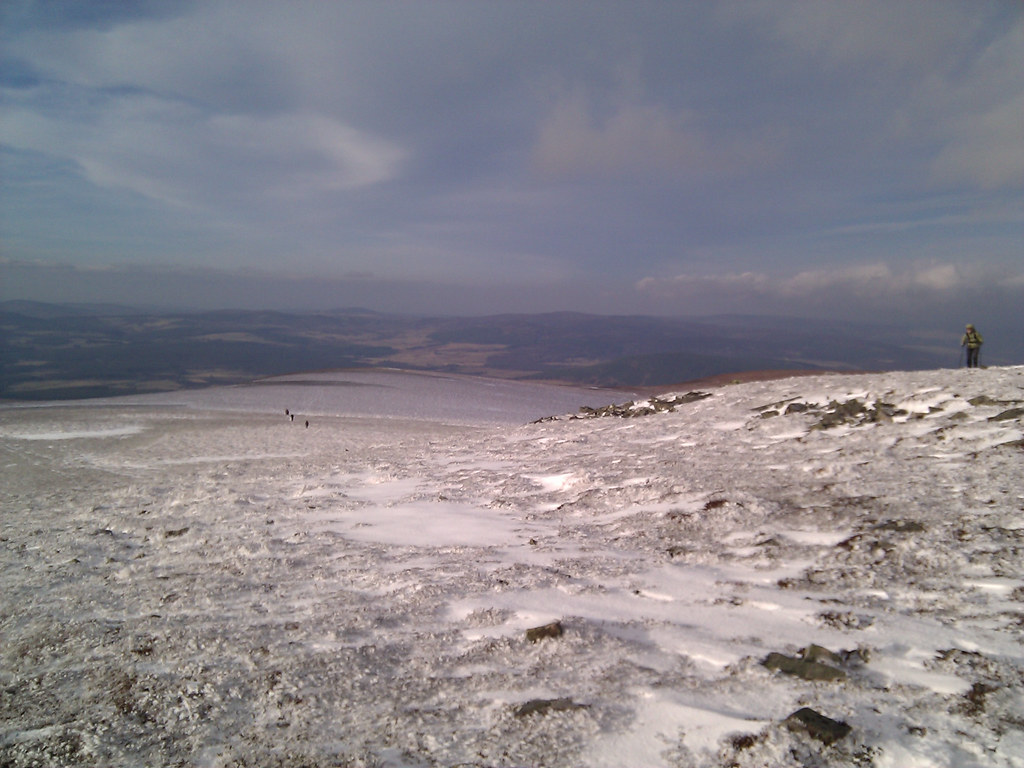
From this point all thoughts of conversation were forgotten. Hoods were drawn in to their narrowest opening and every buff, scarf and hat was pulled from bags and put on. Making progress was tough going and after we had passed the crags we found a steep snow slope down which we descended to get some shelter.
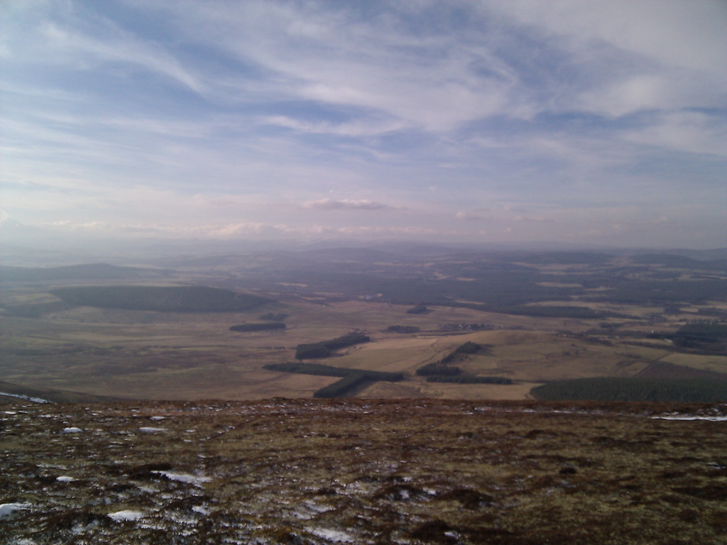
Here we had a bite of lunch (a late start from Aberdeen and a long drive across country meant that it was already late morning by this point) before continuing on. Though we were under heavy cloud the views north and west were quite expansive, the sunlight dappling Strath Spey and a ring of snow capped peaks visible on a hazy horizon.
Once again we ascended to the ridge-line and continued south-west, following a snowy set of vehicle tracks that gradually ascended the gentle eastern slopes of Carn a'Ghille Chearr. As we gained height we entered into dense cloud which significantly reduced vsibility and lent a strange, ghostlike quality to the surroundings. The vehicle tracks led us to a point some distance west of the summit trig point, just visible through the mist. We made for this and were soon standing on top of the day's first Graham.
Views were non-existent sadly so after a very brief stop we continued on our way, following faint tracks and keeping to the broad crest of the ridge. It was a challenge to keep everyone together at this time but as we descended and passed the small bump of Carn Eichie we gradually came out of the mist and sight was restored. We now had another boggy bealach to cross to reach our next objective.
However, it was declared hightime for another break and as we got lower down the wind relented somewhat, our position protected to some degree by An Sgoran. By the bank of a snow-choked trickle of a burn we stopped for some more food and to take on hot drinks. The views across the Haughs of Cromdale and further west towards the Cairngorm plateau were splendid, though everywhere continued to be hazy.
After the break we continued on our way, crossing the bealach and then climbing up another rising slope that took us on a path north and west of An Sgoran. It was an unrelenting ascent with the terrain difficult underfoot and we were all very glad to reach the large cairn which sits high above the strath commanding a wide vista.
From it, a more distinct path was picked up which led us on to the north shoulder of Creagan a' Chaise. The terrain was undulating tussocky grass and heavy that had had a liberal sprinkling of snow such that every other step threw you off balance. It wasn't helped by the return of the wind which hadn't lost any of its earlier force.
Eventually we reached the final steep slope up to the trig point and cairn which gave a nice snowy ascent up consolidated white stuff until at last we were on the top of our final summit for the day.
We spent a few minutes enjoying the fine views and then, conscious of the time, decided to start our descent. Although it would have ultimately been more sensible to have descended to the small col immediately west of the summit, we instead dropped off the south side, going down through bands of stones and heather until we angled down to the March Burn which descends from the col higher up. Here we had to drop to the burn, cross it, and then climb up a steep, mossy and damp bank to regain the higher ground. At least the wind had dropped by this point.
After this and another short break in the sheltered gulley, we continued the descent which took us over a broad shoulder of land and eventually through a fence to the farm at Lyntelloch. From here a good track took us all the way down to the coach waiting at the Bridge of Brown to complete an excellent, albeit windy, traverse of the Hills of Cromdale.


