Date: 7th January 2012
Distance: 19.43km
Ascent: 562m
Time: 5hrs 57mins
Hills: Sgor an h-Iolaire, Creag nam Ban, Creag Ghiubhais
Weather: Overcast and light rain showers. Some sunshine. Very strong winds on the tops.
Route: View on OS Maps
With the weather continuing to threaten high winds and unpleasant conditions on the tops, Dave and I decided to try a low level walk making use of the service bus going out from Aberdeen to Braemar. The basic plan was to jump off at Crathie and then make our way back east along the river to Ballater, going over a number of small sub-600m bumps that lie along the south bank of the River Dhé. These hills don’t really feature on any lists (though I’m told one is a Marilyn) so we were assured a quiet day with plenty of pathless wandering.
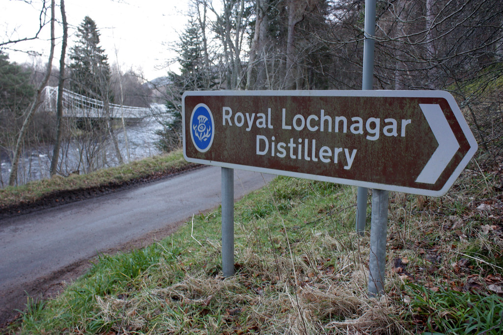
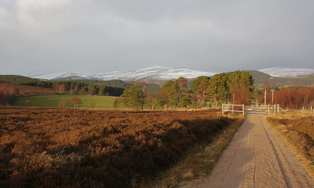
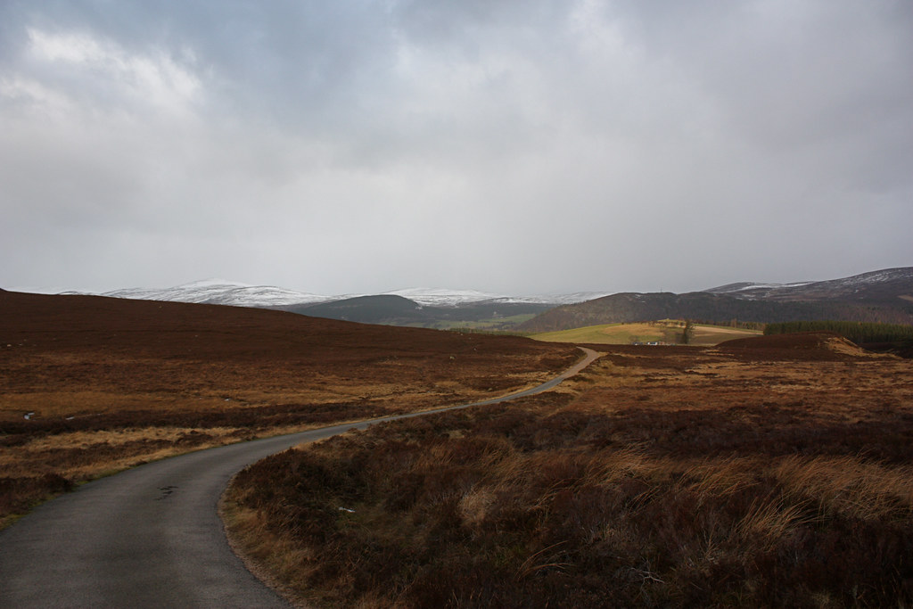
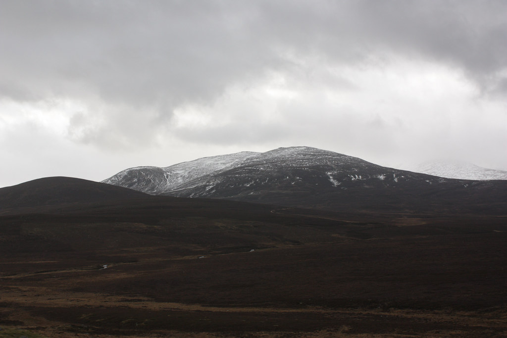
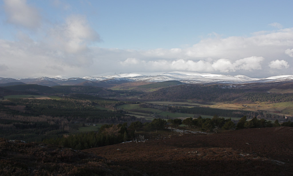
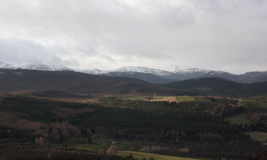
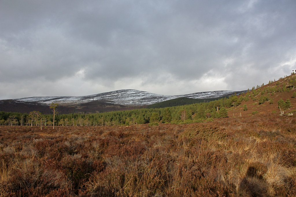
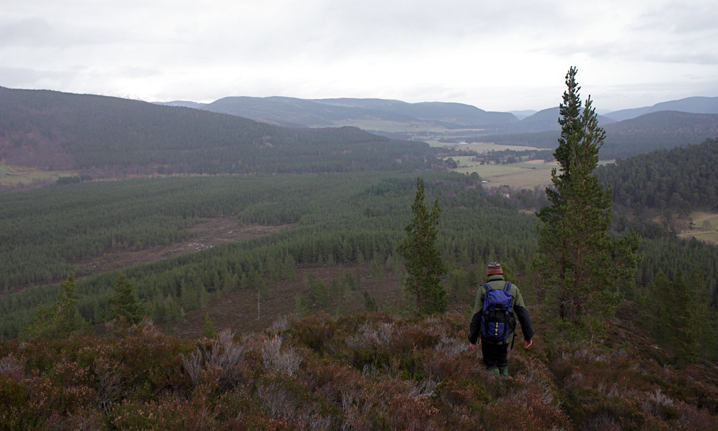
As the bus left Aberdeen a glorious sunrise lit the sky up with all sorts of shades of gold, yellow and orange. As we headed further west though we ended up under increasing cloud cover such that by the time we got off the bus at the Balmoral car park, opposite Crathie kirk, the sky was a dull, pale grey. After waving to a couple of policeman in their fancy Range Rover, we set off to the Dé, crossing it by the wide public footbridge near Easter Balmoral. Our way then took us up the steep hill to the Royal Lochnagar Distillery (closed) and then on a good vehicle track which led us to the blustery moorland below the heathery lumps of Tom a’ Chuir and Tom Bad a’ Mhonaidh. We enjoyed good views back to Deeside where the hills close to Braemar had plenty of snow on their southern flanks. Culardoch stood out in particular though we spent some time debating exactly which hill we were looking at.
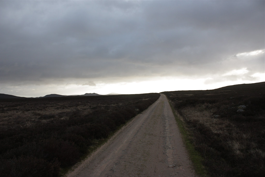
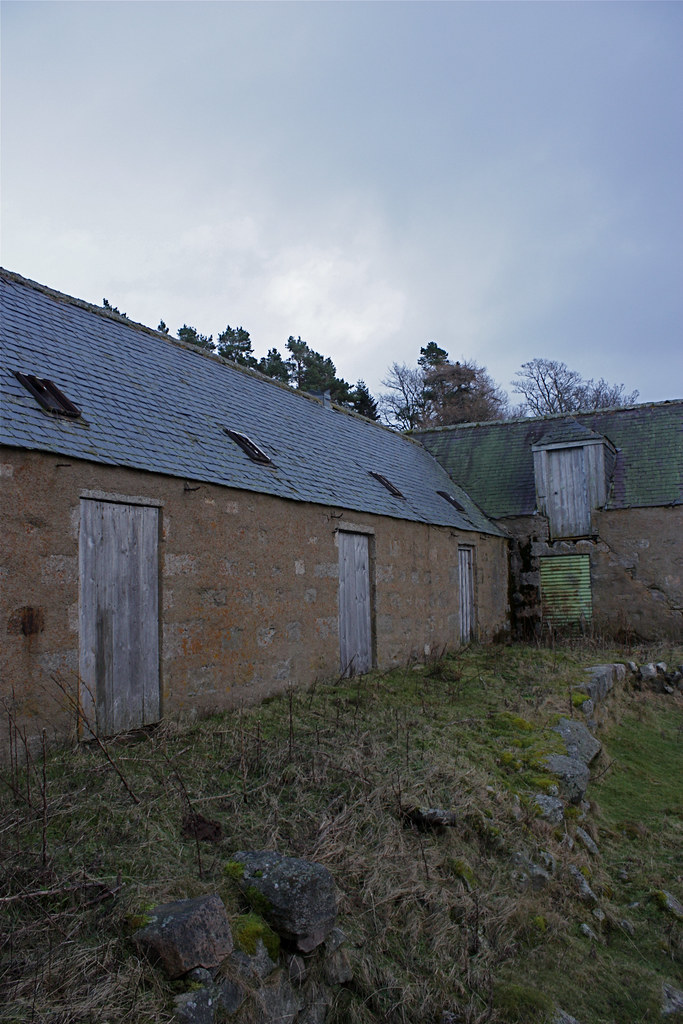
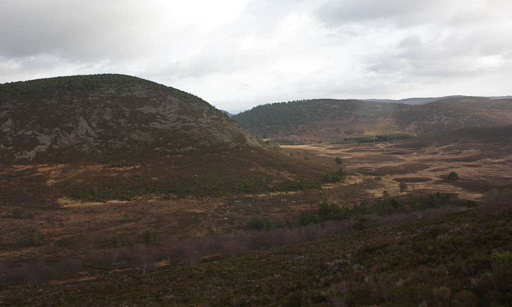
After passing a small shooting range the track gently climbed over a low brow which brought us views across the head of Glen Girnock towards the distinctive Coyles of Muick. Away to the south the Corbett Conachcraig was just below the scudding dark clouds which seemed to be lowering as we dropped through the small tract of forest to the ruins of the farm at Bovaglie.
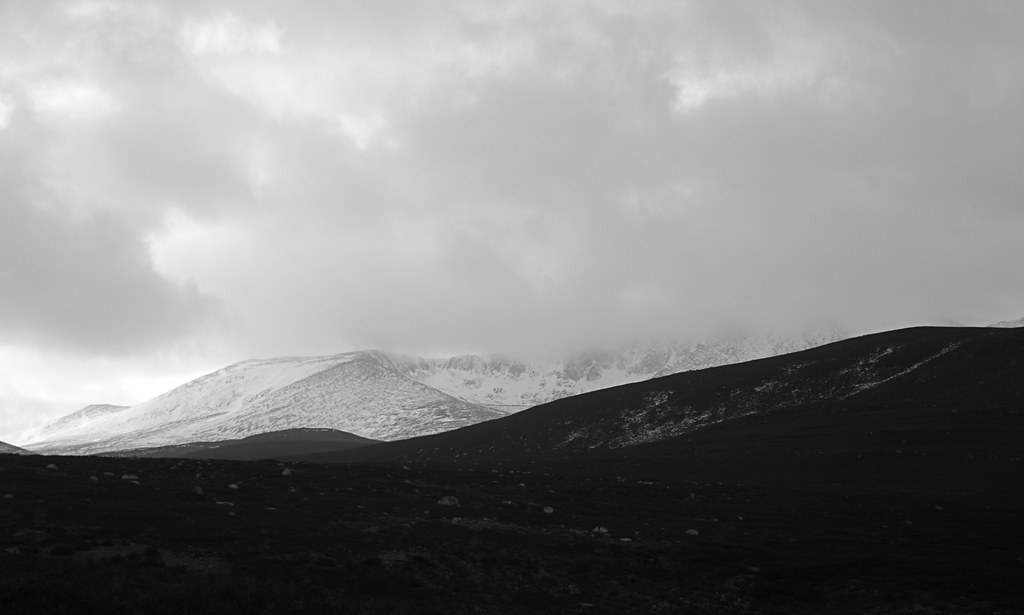
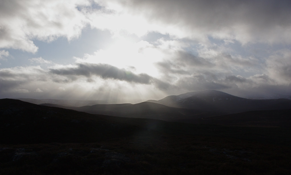
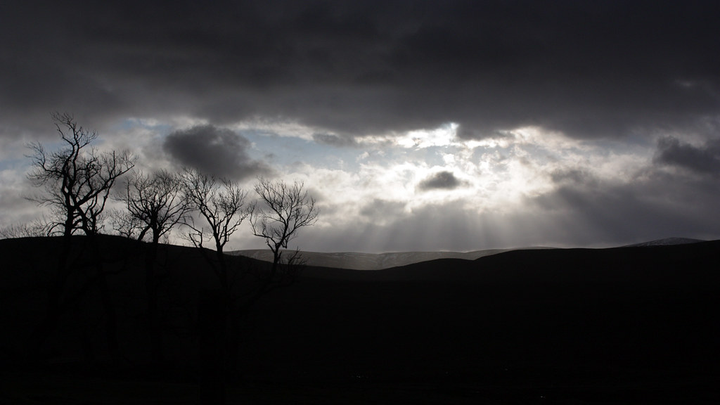
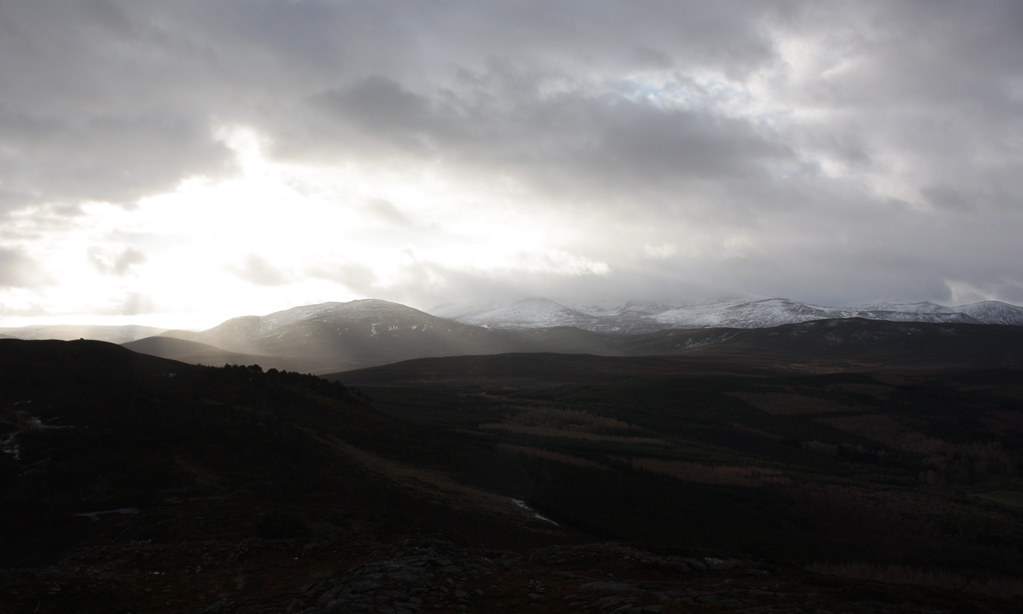
After nosing around a few of the buildings we had a sit down in the courtyard for a drink and some food. All the while the light over the hills was changing with rays of sunlight occasionally cast down between gaps in the dark clouds. Conachcraig appeared again from its cloud cover and there were hints of the grand cliffs of Lochnagar.
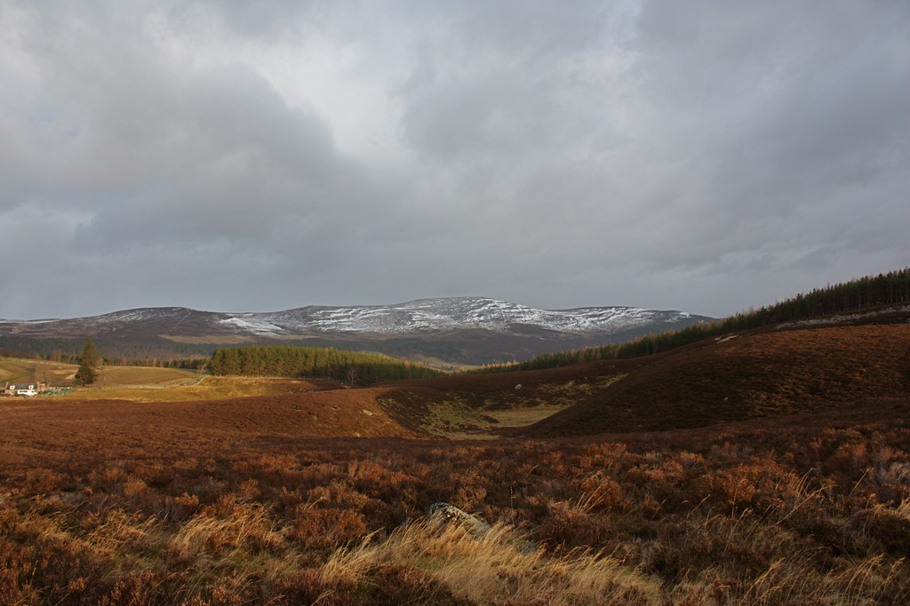
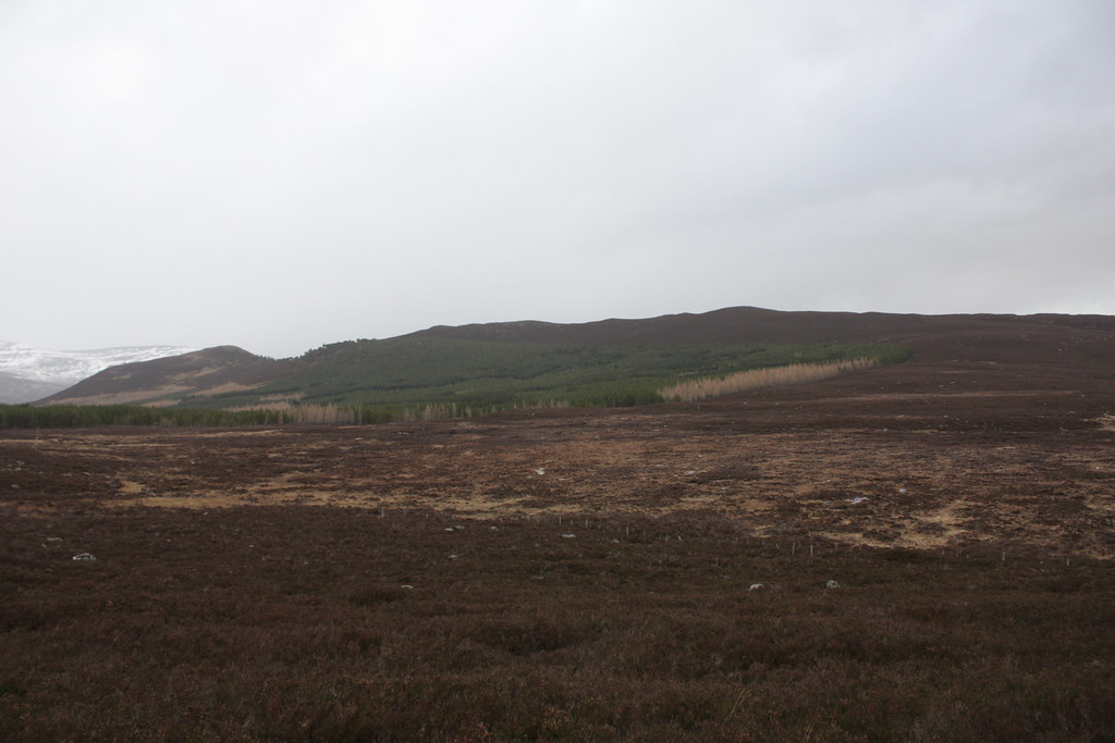
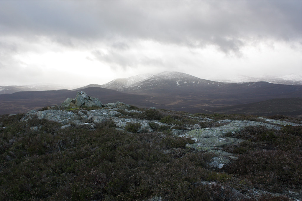
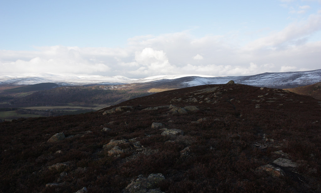
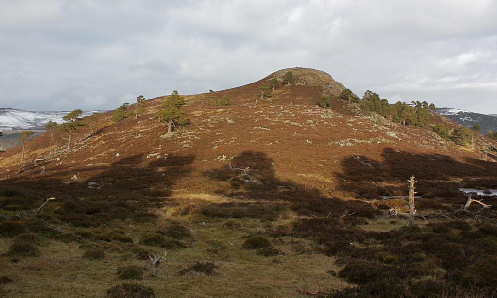
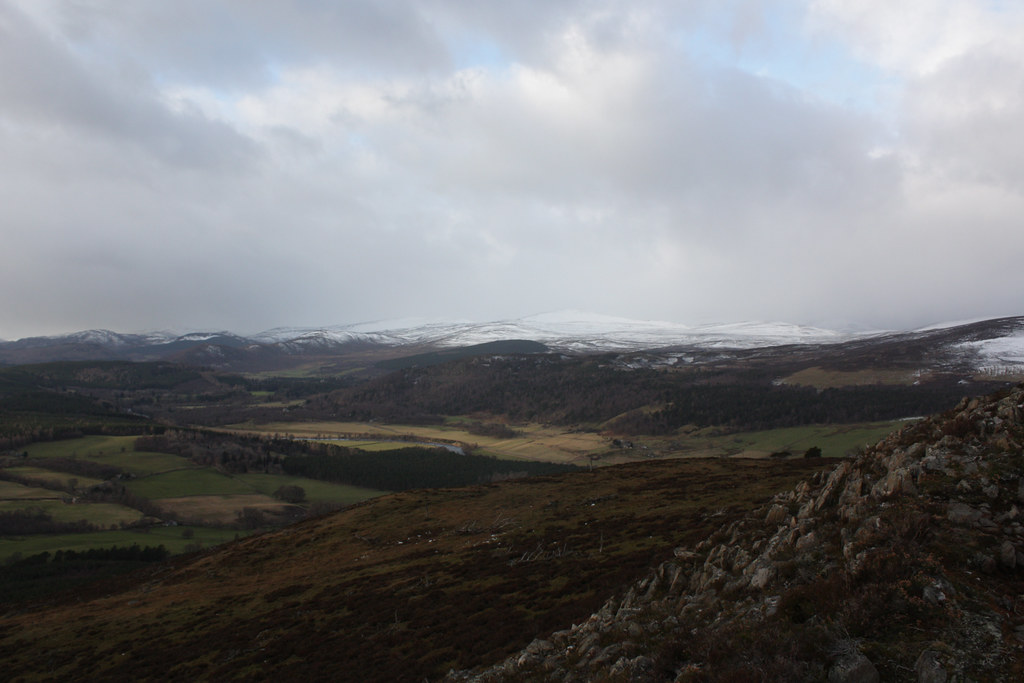
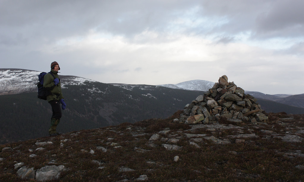
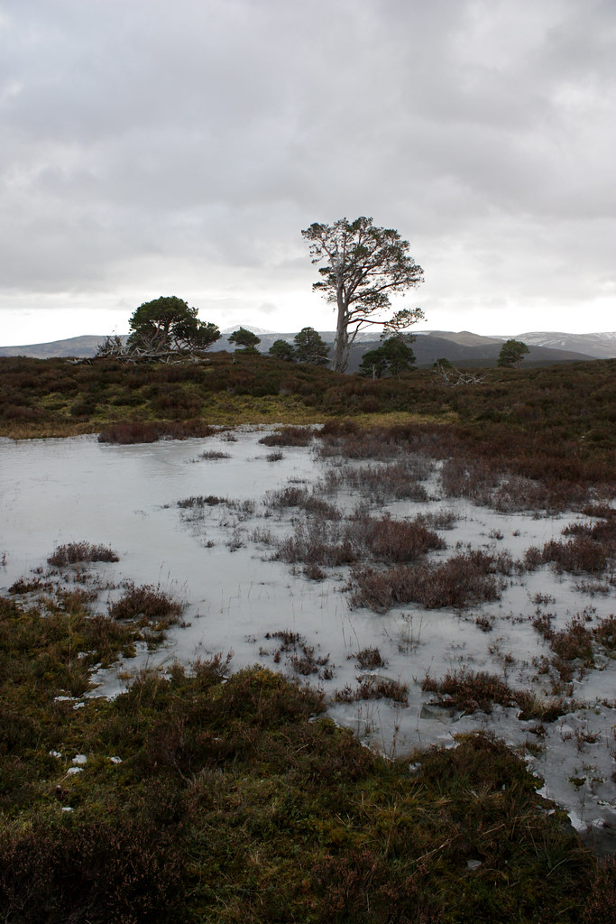
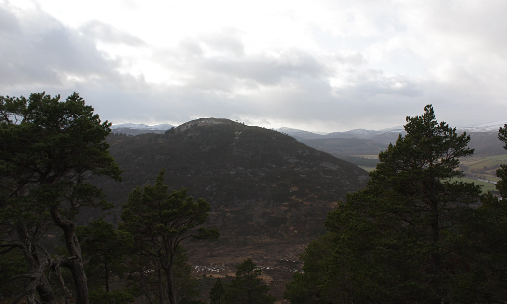
From the farm we backtracked to the top of the forest and then followed the edge of the trees up some boggy ground until we reached the heathery upper slopes of Sgor an h-Iolaire. This diminutive hump stands at one end of a lumpy ridge which is pock-marked with cairns, some grander than others. Though only 544m high we still enjoyed the views out across the hills and in particular those towards the Cairngorms which were increasingly free of cloud.
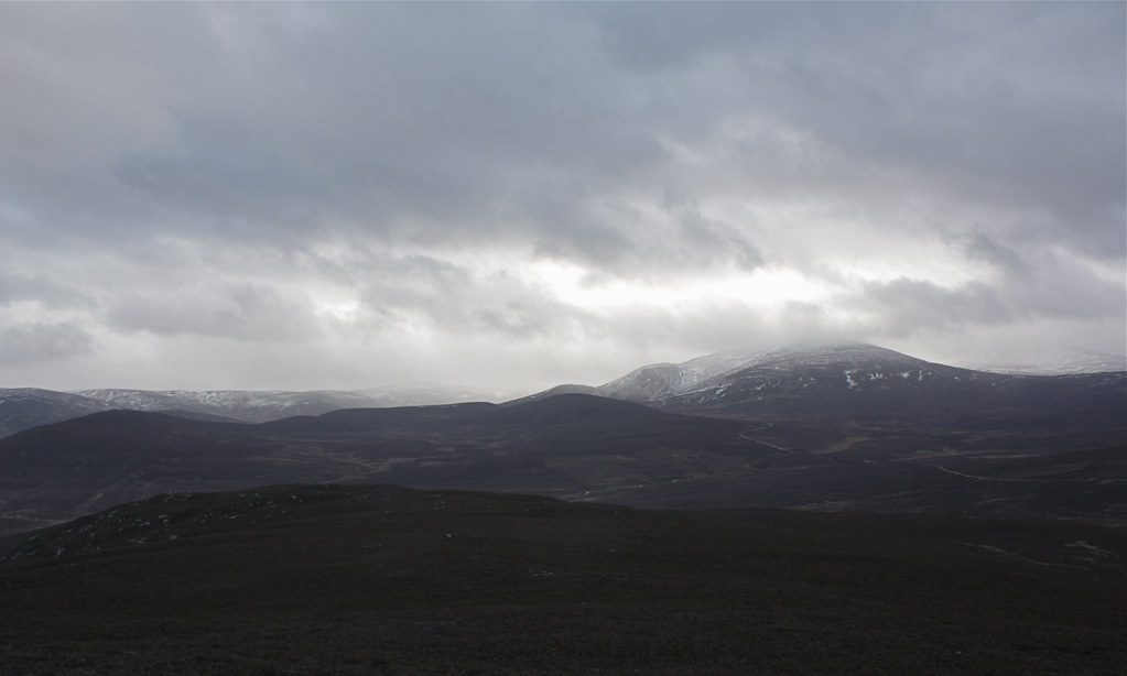
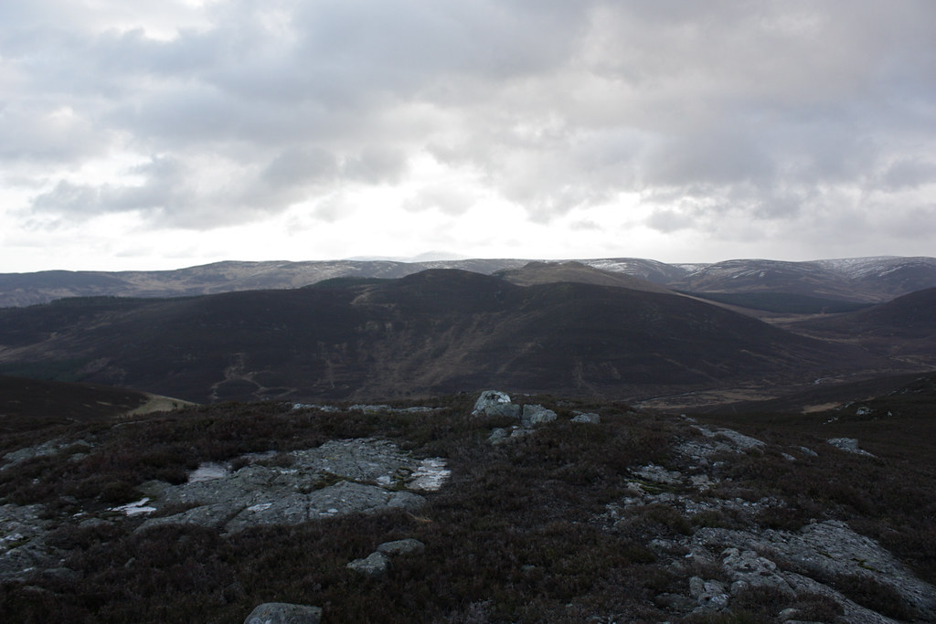
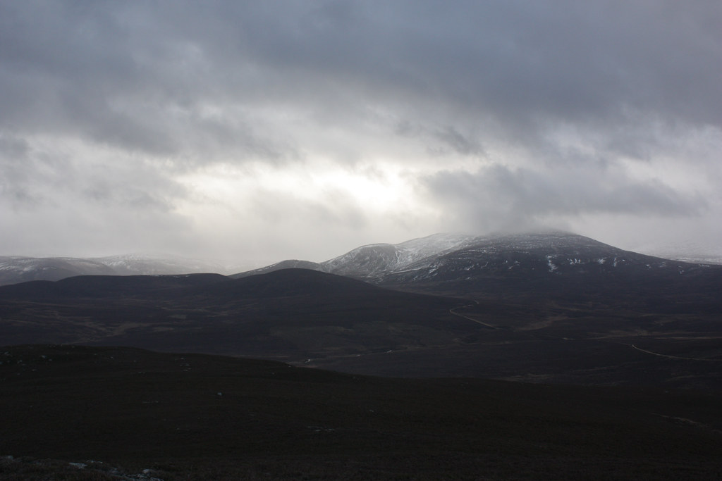
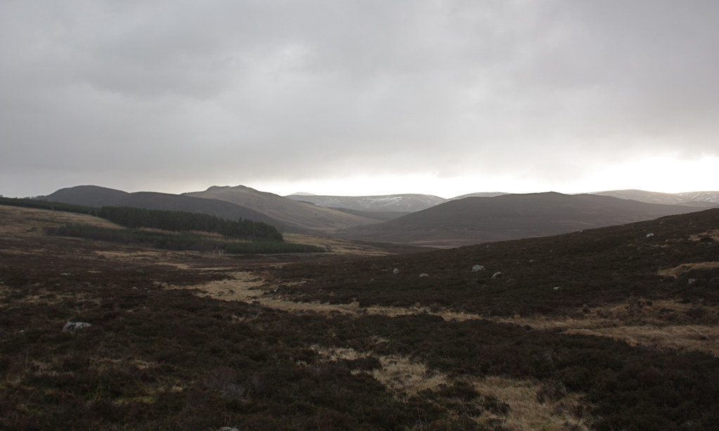
Deer tracks came and went, along with some traces of a clearer path, but we largely picked our own way along the lumpy ridge, visiting each of the cairns in turn (though I think we missed at least one out). Once on exposed ground the wind was ferocious, knocking us around and making standing still to take photos very difficult. By the time we reached the final cairn the sun was well and truly shining and the views all around were glorious. In particular Ben Avon and Beinn a’ Bhuird were splendid in their white winter costumes.
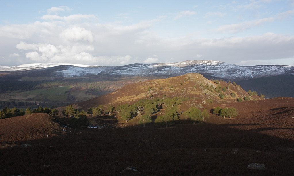
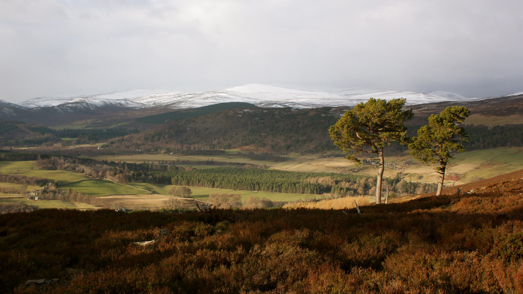
We dropped steeply down, passing through small areas of bog and scattered pines before scrabbling up the steep, vegetated cone of Creag nam Ban which enjoys a fantastic view over the Mains of Abergeldie and the castle there besides the Dé.
The summit was again incredibly windy and exposed so without much hesitation we turned east again, cautiously descending steep and very heathery slopes to reach the quiet glen between Creag nam Ban and Creag Ghiubhais. Here, in the lee of the hill, we stopped for a well earned lunch break.
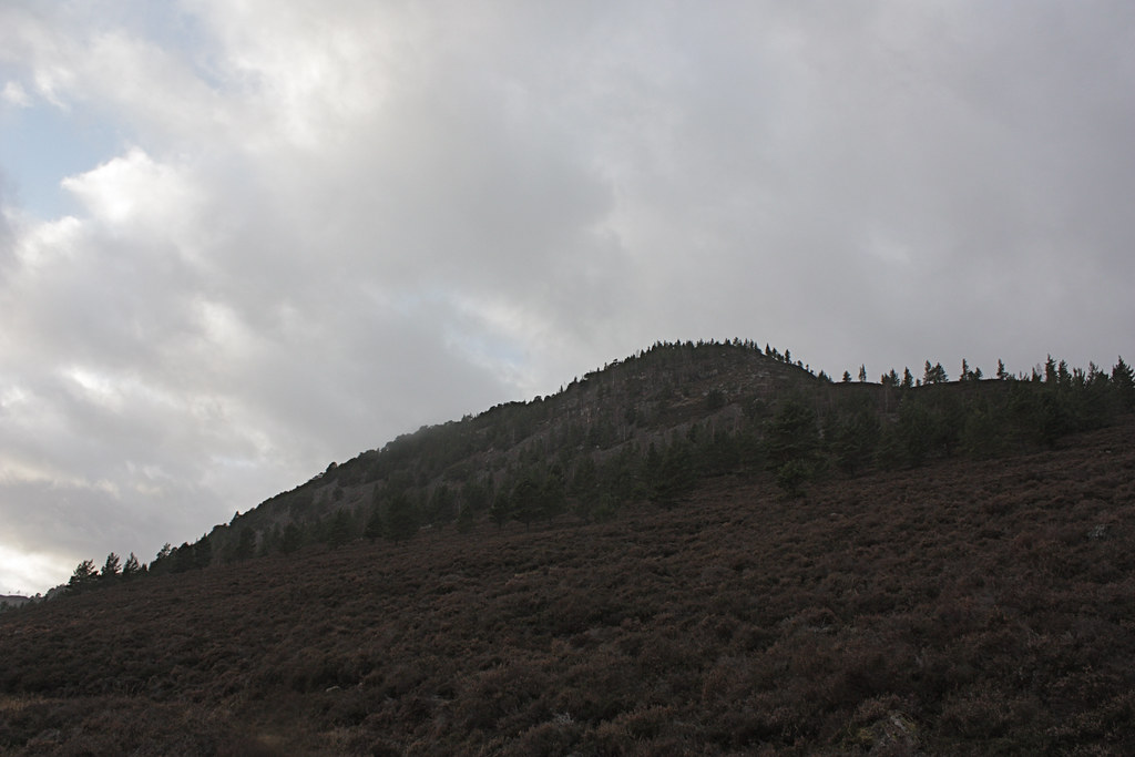
After the energy boost we headed across the soggy glen floor, passing by a few toppled trees (signs of recent storms and high winds), and then ascended the rocky slopes of Creag Ghiubhais.
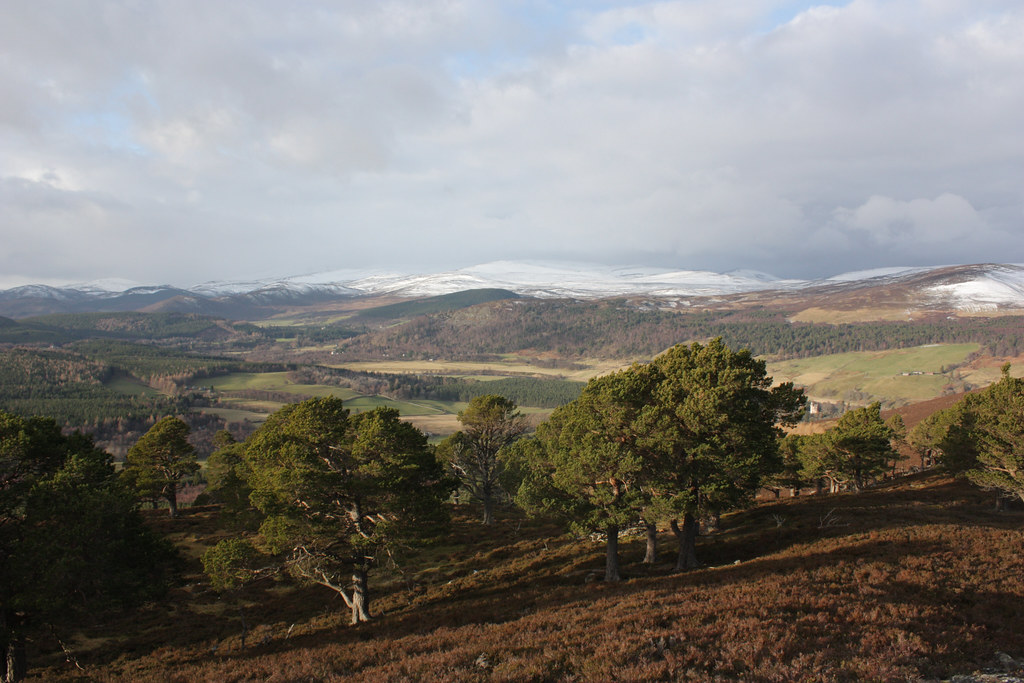
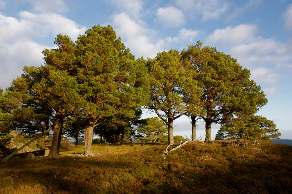
Unusually for a hill in the Highlands there is a wood on top of this one so the cairn was reached by wending our way through Scots pine. On the ascent there were glimpse of views back towards Conachcraig and Lochnagar.
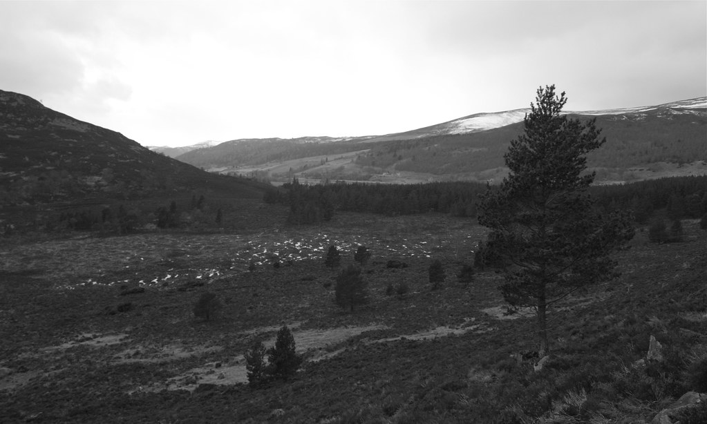

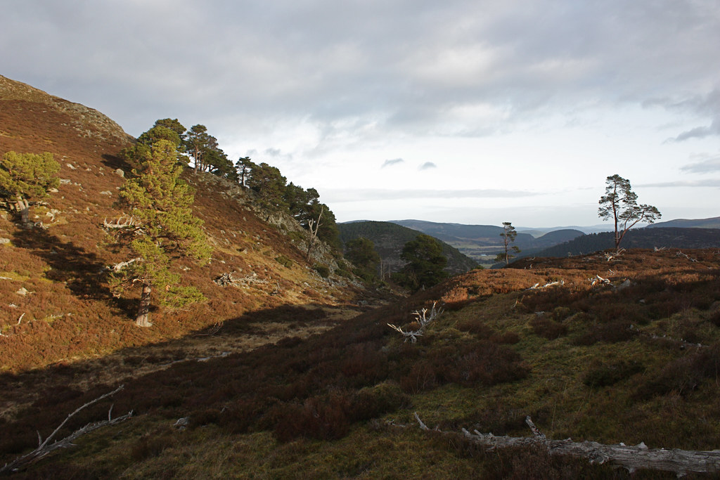
Sticking to the hills east ridge for a descent was difficult in the trees but we came out only slightly off course. A little bit of scrambling brought us back onto the ridge which presented an interesting few moves to get down onto a shallower gradient. We then dropped through more thick growing heather to reach the track that runs through Glen Girnock.
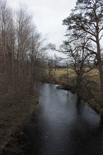
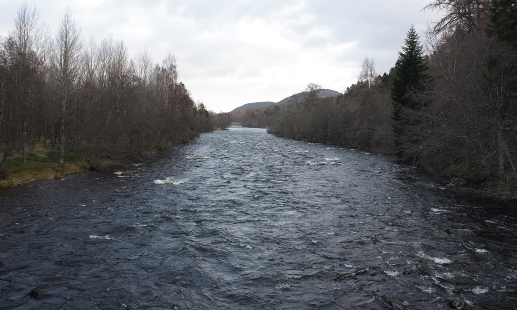
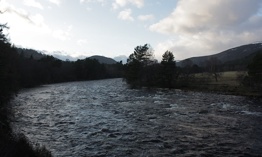
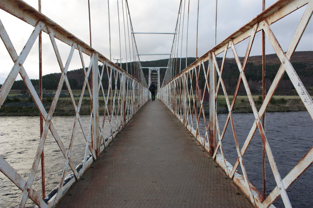
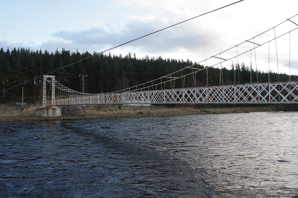
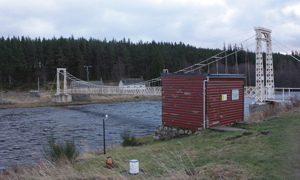
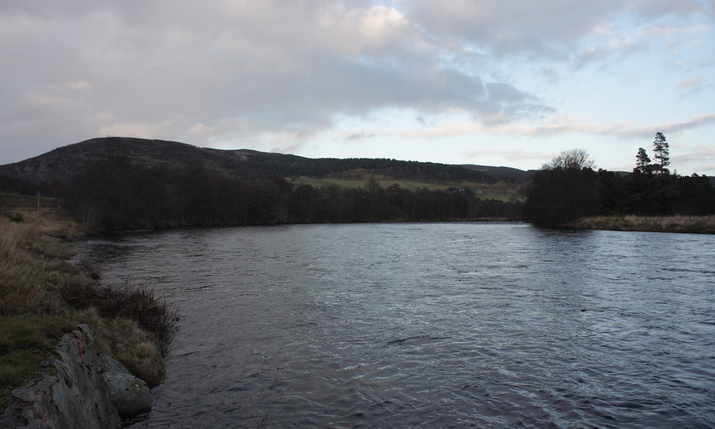
A quiet walk through the woods brought us to the South Deeside Road which we followed a short distance east until we took the turn off to Polhillock. This led us through quiet woods that protected us from the wind until we came down to the River Dhé, full of churning water and running very high. We crossed over via the bouncy footbridge at Polhillock and then paused to investigate the river monitoring station on the far side. Here the last of our food and drink was consumed.
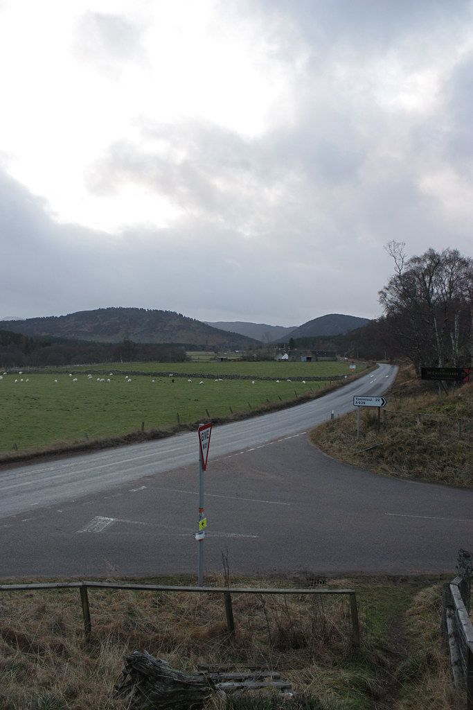
It was only a short walk to the A93 which we crossed and then followed the waymarked trail which runs just above the main road around to the crossing over the River Gairn. After this you cross the road once again and pick up a riverside track which took us around the base of Craigendarroch and into Ballater itself.
After checking the bus times back to Aberdeen we decided to use the hour’s wait wisely and headed to the pub for a couple of pints and some salty snacks. It had been a great winter’s day out. Though there had been the occasional spot of rain and flecks of snow and sleet we had stayed mainly dry and our route had kept us out of the brunt of the wind. Not having to use the car meant it was all very relaxed and the bus got us back to Aberdeen just after 6pm.