Date: 3rd June 2012
Distance: 19.86km
Ascent: 1,099m
Time: 6hrs 27min (total)
Hills: Carn Dearg (Munro), Sgor Gaibhre (Munro)
Weather: Chilly, overcast, strong northerly wind
Route: View on OS Maps
Ben Alder. A remote, sprawling mountain often discussed in hushed terms amongst Munro baggers. It’s a long way from anywhere and unless you are cycling in from Dalwhinnie a traverse usually requires an overnight stay in the bothy at Culra or taking a tent. I don’t have a bike and dislike the idea of staying in such a potentially busy bothy so for me it was going to be a camping trip. With the region home to anything from 2 to 14 Munros (depending on how widely you cast your net) there was plenty of potential for a big rambling route picking up a number of summits. After reading with interest the recent report on V-G of a low level five day route I modified my original plan and incorporated some of Geoff's elements, turning it into a high level three day route with the low level option there as a good FWA (foul weather alternative) should things turn south.
However, with a decent mountain weather forecast this seemed unlikely and so it was that Sunday morning rolled around and I was away from Aberdeen by 8am driving through some light rain to reach the crowded parking area at Fersit. Having a very small car has its advantages though and I was able to squeeze into the last remaining space. I’d been delayed a few times on the drive over (most unusually by a farmer moving his cows along the road near Dufftown) and now had just under an hour to cover the 3.5 miles back to Tulloch station which I had already passed in the car. Luckily, after covering the first 1.5 miles in twenty minutes or so (jogging with a camping pack is not recommended) I was offered a lift by a group of a guys in a campervan. They were coming to the end of a ten day stay in the Highlands and the previous night had completed an epic 17 hour traverse of the Grey Corries and Nevis. They were now heading back to Fort William but the quick lift to the main road got me well ahead of schedule and so I could now walk up the long hill to Tulloch at a slightly more sensible pace.

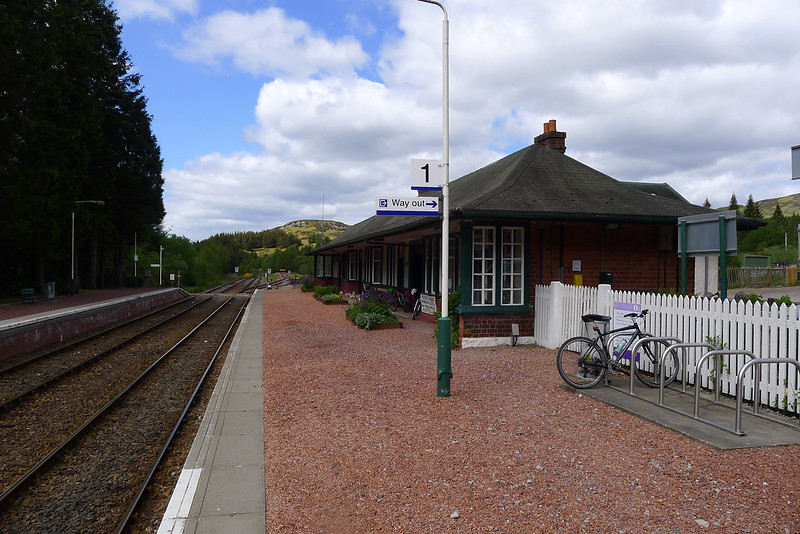
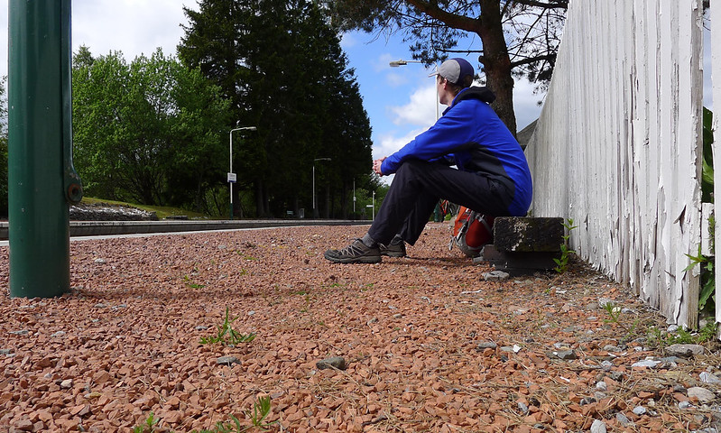
After all the rushing around I was now almost twenty-five minutes early for my train and so took a seat on a platform bench and munched on a sandwich whilst watching a group of cyclists organise themselves for a ride back to Tulloch from Corrour. A couple of minutes early the train pulled into the station and I found myself a seat whilst everyone else wrestled numerous bikes into limited spaces. We were off on time and soon the train was clattering along the West Highland Line besides Loch Treig, with views across the loch to the Easains and later on the Mamores and the Grey Corries. 15 minutes later the journey was all over for me as we pulled into Corrour Halt, the highest and one of the remotest main line stations in the country.
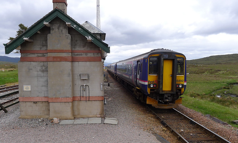
The bike riders all got their mounts safely off the train and I watched as it pulled away and disappeared across the bleak moorland. The skies were sullen and grey and there was a chill wind blowing across the open ground, the landscape unbroken by any tree except in the immediate vicinity of the station. The Station House restaurant still appears to be closed despite cheerful signs confidently predicting a May opening. I headed across the tracks and took a seat whilst I made a few final changes to my pack and got my Spot tracker on and active. A few of the cyclists paused for a chat and then they were off. The other walkers all appeared to be either heading to the Ossian Youth Hostel, or taking a short jaunt into the hills before catching the train back later that day. I was the only one who seemed to be heading into the hills to stay.


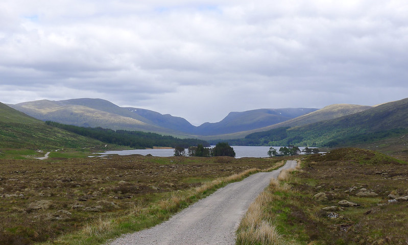
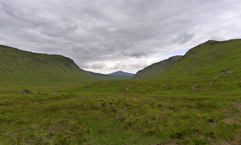
Munching on a second ham roll I ambled down the vehicle track which connects Corrour to the end of Loch Ossian and the Youth Hostel. In the distance the iconic view of Ben Alder and Aonach Beag split by the dark gap of the Bealach Dubh was shrouded by a passing shower. I was passed by the final group of cyclists who headed for the north shore of Ossian. I continued on the south bank and after passing the Youth Hostel branched off to pick up the footpath to Peter’s Stone which sits below Carn Dearg, my route’s first Munro.
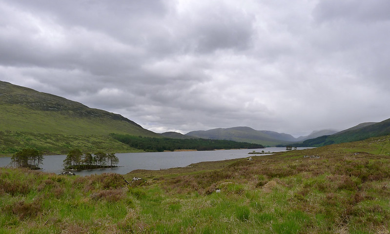
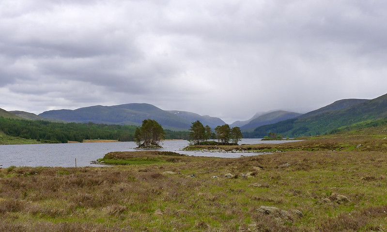
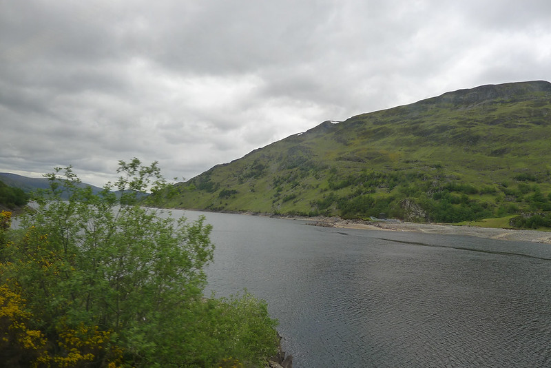
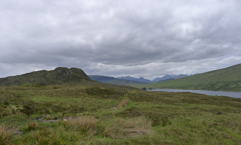
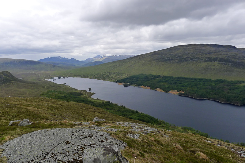
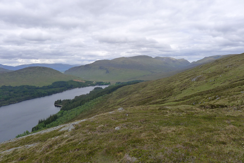
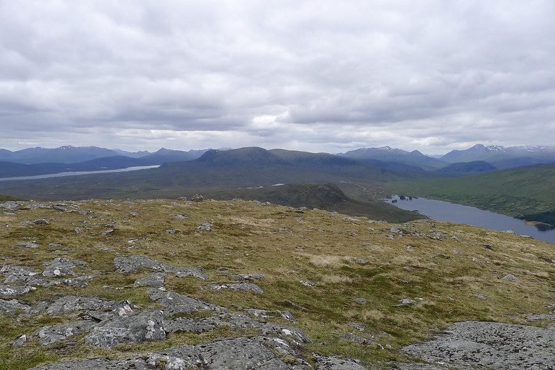
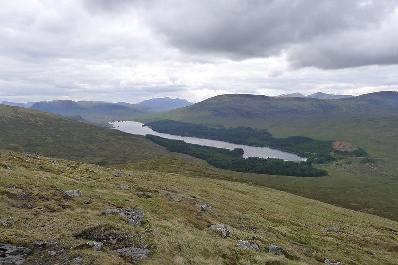
The old Road to the Isles is largely good as it climbs gently up above Loch Ossian below the crags of Meall nan Lice. After crossing the boggy bealach and pausing briefly at the stone I left the path and took to open hillside, aiming for the end of the northern arm of Carn Dearg. As the gradient slackened I headed over to a rocky knoll which provided a good vantage point down Loch Ossian. The Mamores and the Grey Corries, presided over by Ben Nevis, were clearing of cloud and provided an impressive backdrop to the tree-lined loch. Further northeast there were still showers passing over Alder and its companions but happily not a drop of rain had reached me.
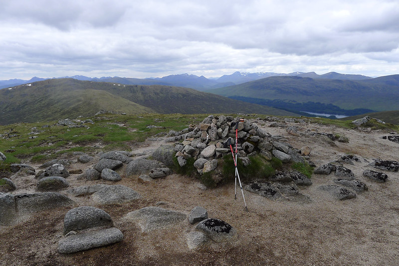
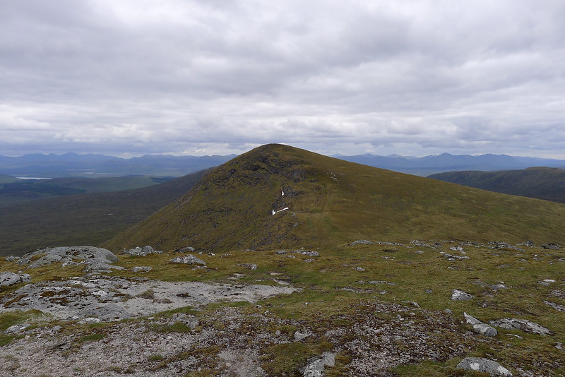
I bimbled along the gently rising ridge until I was on the final pull to the summit. Once at the cairn I took off my bag and marvelled at the views all around me. With a high start and a good track for the early going I had made good time and was able now to take a a breather. As I had come onto the ridge proper I had found a bitter northerly wind blowing and so took shelter behind the tall cairn to eat some food and send a few messages home.
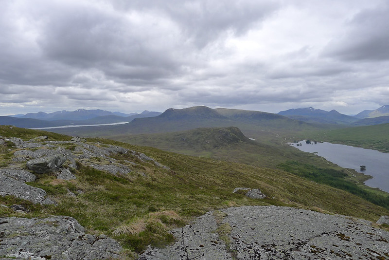
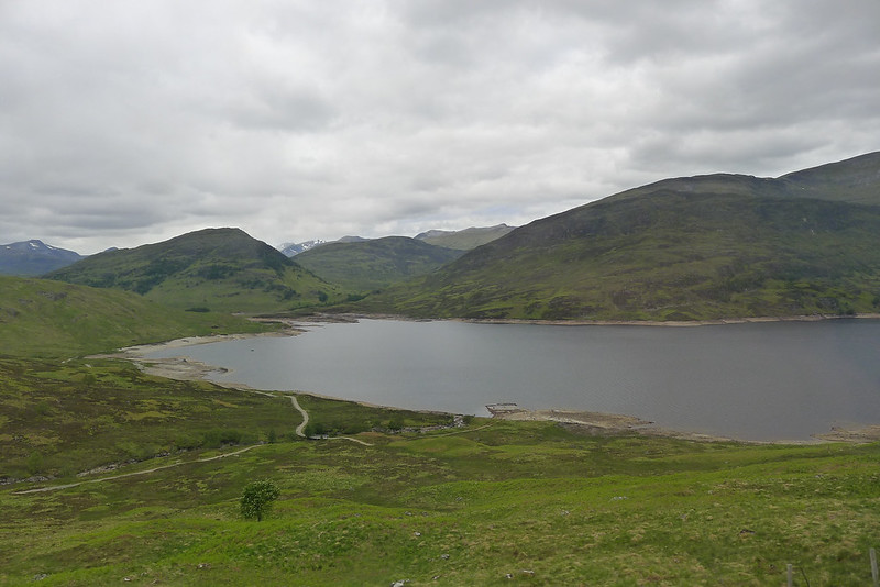
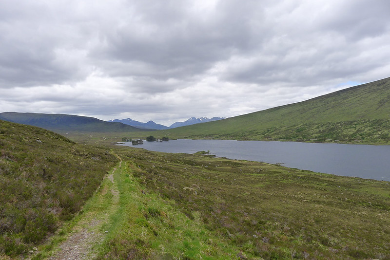
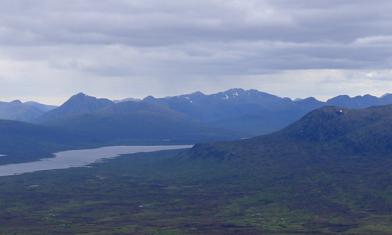
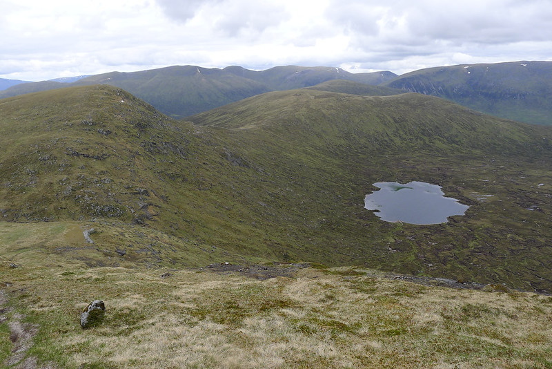
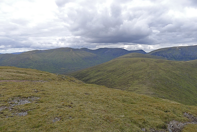
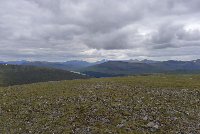
From here I had clear views of the hills I would be in for the next couple of days. Directly northeast across a col was Sgorr Gaibhre and its twin summit Sgor Choinnich. Beyond that the Alder group was now largely out of the rain. Off to the east beyond the foot of Loch Ericht I could see the Perthshire hills dominated by the distinctive cone shape of Schiehallion. South the views had now opened up to include a vast sweep of hills from the Blackmount, Glencoe, the Mamores and Nevis. The Blackwater reservoir was a slender, shining patch of water closer to me
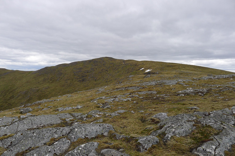


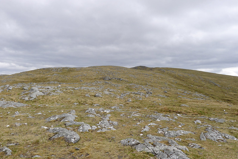
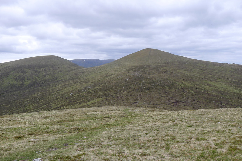
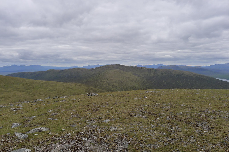
Leaving Carn Dearg I dropped down the easy eastern slopes and was soon making my way up Sgor Gaibhre. The re-ascent wasn’t that great and soon I was on top of this more interesting summit. The eastern slopes of the hill are precipitous, dropping down to Lochan a’ Bhealaich and offering fine views to the western bulk of Ben Alder and off to Loch Ericht and the Perthshire hills. The wind was still howling so after a few minutes at the summit I dropped down and then climbed up to the summit of Sgor Choinnich, a Munro top.

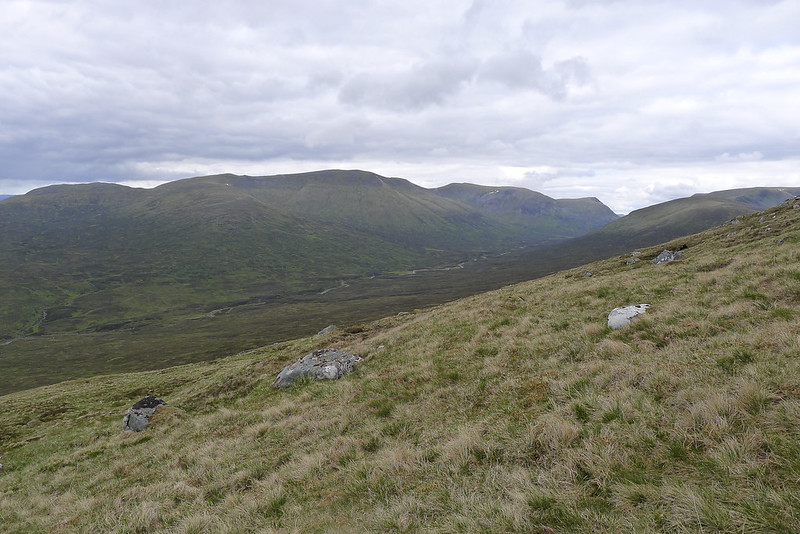
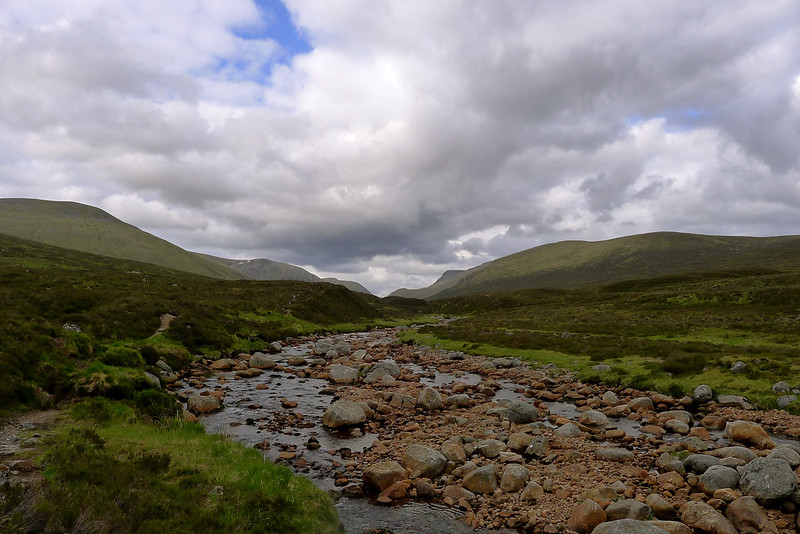
With the wind still blowing very strongly I now decided against the tentatively planned summit camp. Now that I saw the steep drop down to follow the ridge onward I also decided to drop right back down to the Uisge Labhair, the classic approach route to Ben Alder from the Corrour side. This should give me plenty of sheltered camping options and position me reasonably well for the next day when I intended to head up and over Ben Alder and the adjacent Aonach Beag ridge.
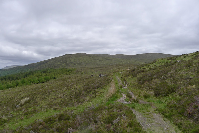
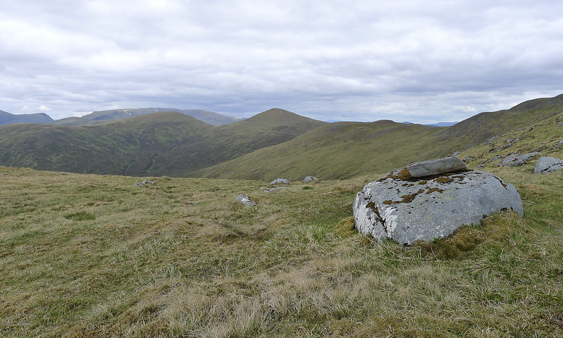
I followed the gentle fall of the land to the subsidiary summit of Meall Nathrach Mor and then made a beeline for the bridge over the Uisge Labhair which could be seen down in the glen below me just at the point where Strath Ossian met the open land around the head of Loch Ossian. On the OS map a plantation is marked but this appeared to have disappeared. That was until I descended further and found that the plantation has been extended with new deer fencing and new saplings on their way. Luckily there was a gate on the hillside of the enclosure and another near the bridge so I got through without too much incident.
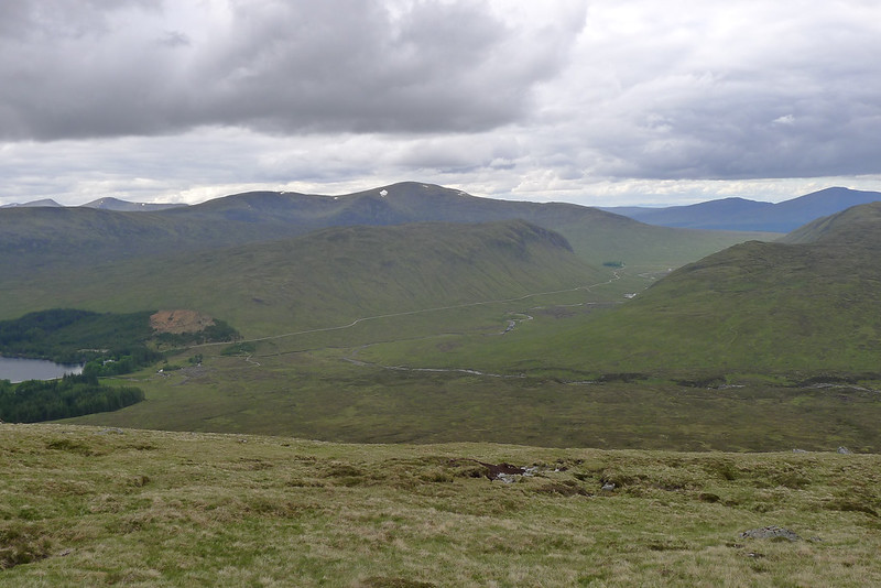
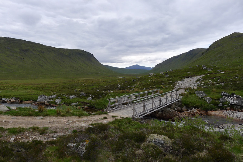
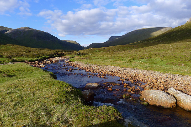
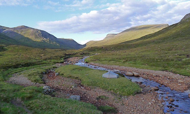
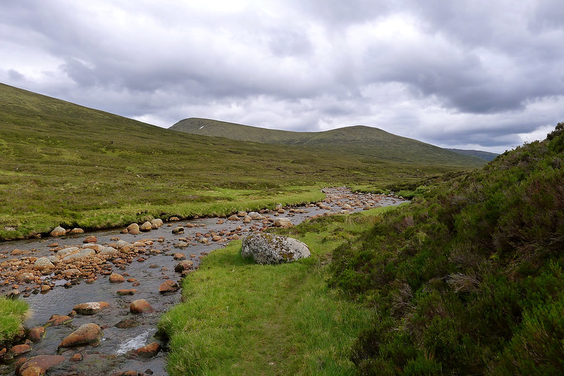
On the far side of the enclosure I finally rejoined the main track coming up from Corrour and Loch Ossian and crossed the Uisge Labhair by way of the bridge. I sat down here besides the linn to enjoy the relative warmth of the sheltered valley. Downstream of the bridge there was already a tent set up and as I made my way up the glen towards Ben Alder I soon passed a second. I wanted to get much further up the stream to give me as good an advantage as possible for the next day's plan and so followed the good riverside path further up towards the beach.
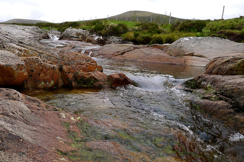
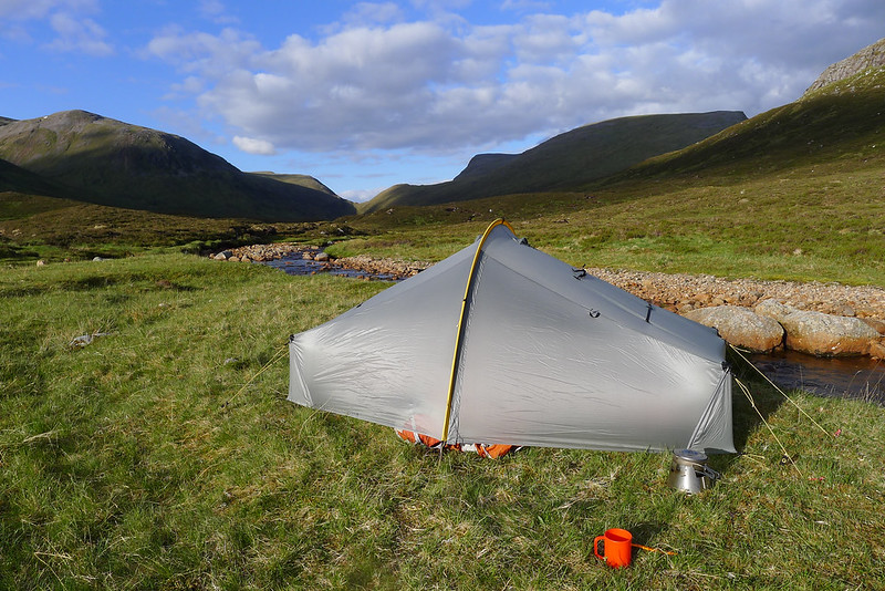
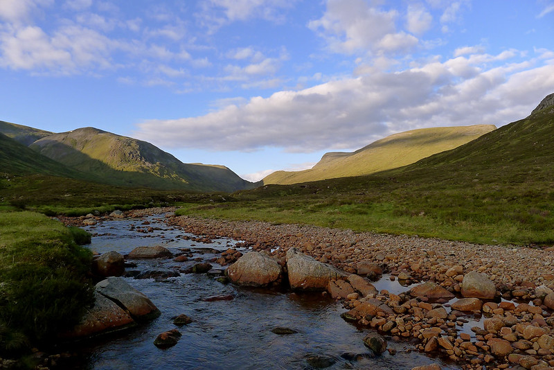
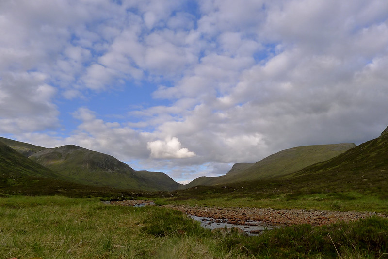
There were a couple of side streams to cross but I made good progress and as 7pm was approaching and with six hours walking done I was ready to stop. I'd passed a number of fine grassy sites but eventually came to one that provided stunning views to the Bealach Dubh. Some high cloud on the tops and evidence of windy conditions higher up convinced me to drop my sack and start the process of setting up camp.
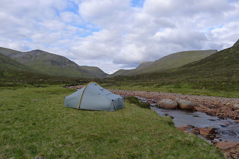
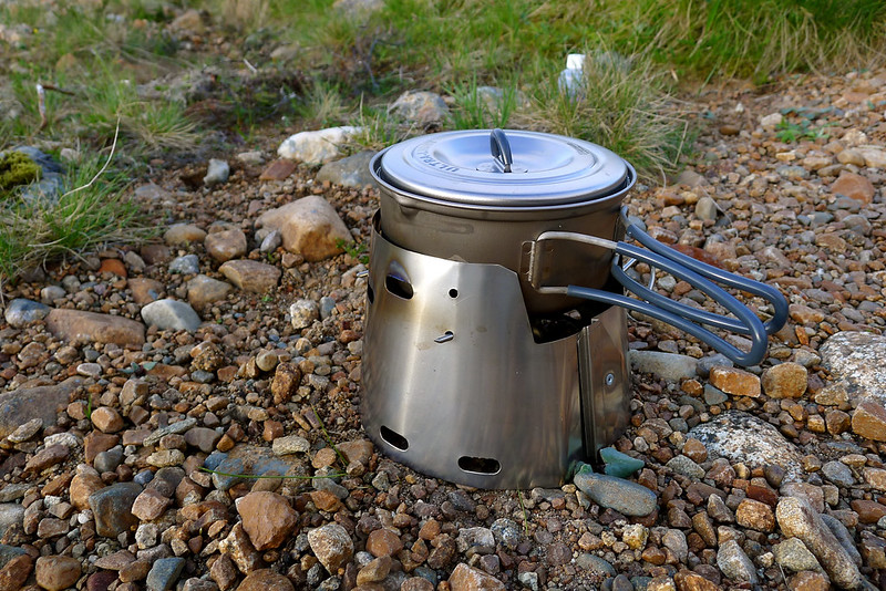
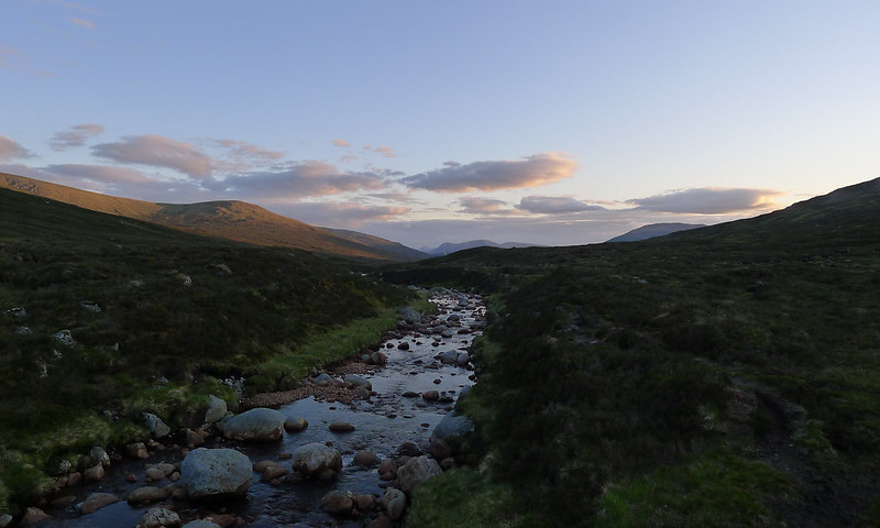
With my tent up and plenty of daylight remaining I settled into an easy, relaxed evening: cooking, reading, sitting beside the river and watching the light change subtly on the hillsides. As the evening progressed the earlier cloud largely fizzled away to leave a much clearer twilight sky. As the light faded I retired to my sleeping bag to finally sleep after a long but enjoyable first day.