A low route in the Eastern Cairngorms with a winter wild camp in Gleann an t-Slugain
Date: 16-17th February 2013
Distance: 27.48km
Ascent: 805m
Time: 5 hrs 40 mins
Hills: None
Weather: Mild air temperatures but snow underfoot, chill wind, low clouds.
Route: View on OS Maps
I have no qualms about labelling myself as a fair-weather hiker, and perhaps even more so, a fair-weather backpacker. The thought of a spending a restless night in a tent being thrown about by gusting winds or lashed by rain really doesn’t appeal. And so it was that several weekends in January and February were dismissed for one weather-related reason or another. Eventually though there was a hint of something better in the forecast, with milder temperatures and gentler winds promised I packed up my camping gear and headed for the Cairngorms. With just an afternoon and a morning available I chose a straightforward circular route from Keiloch on the A93 a few miles east of Braemar. An overnight camp would break up the 18 miles quite nicely and would give me an opportunity to try some mild winter camping.
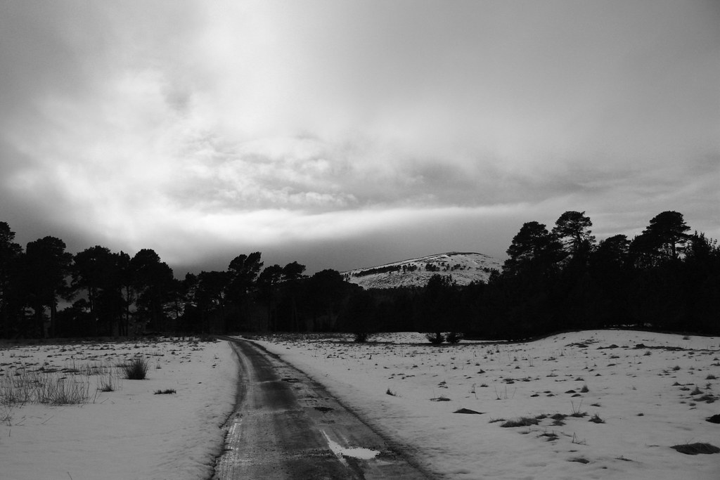
The drive was was sunny with scraps of grey snow piled up next to the road the only sign of the past few weeks of heavy snowfall, low temperatures and gale-force winds. From Keiloch I followed the estate tracks through Invercauld enjoying the pleasant air. So much so that I missed a turning and ended up on the wrong side of the glen. After a steep descent and a brief toe-wetting crossing of the Slugain Water I was back on course and heading up the glen.
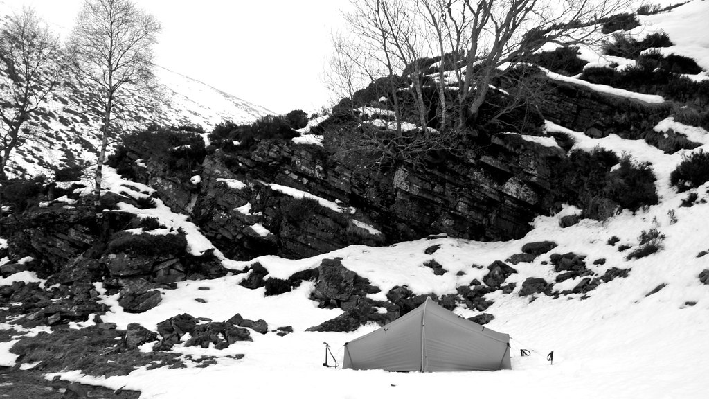
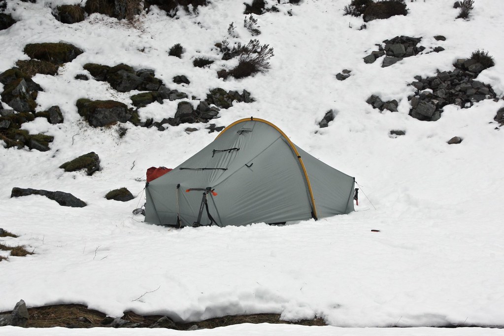
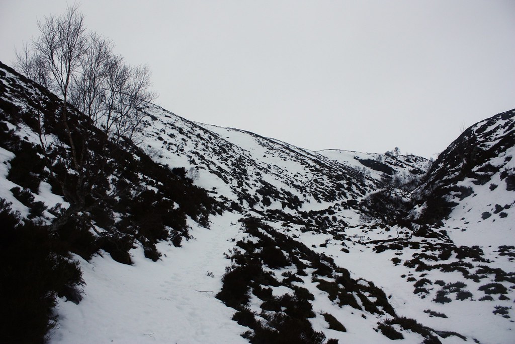
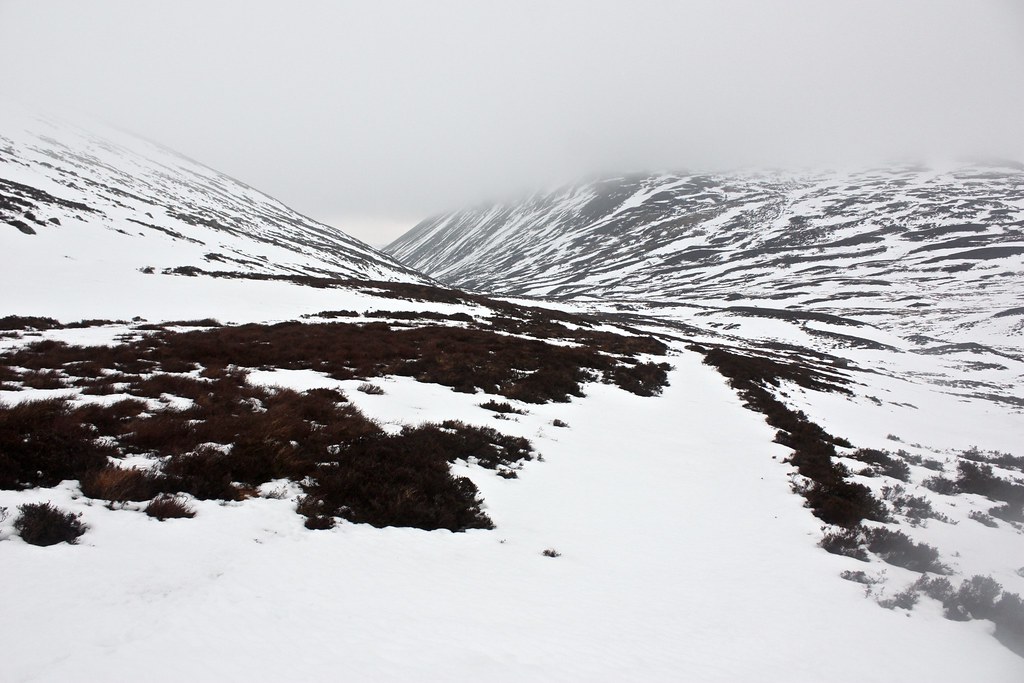
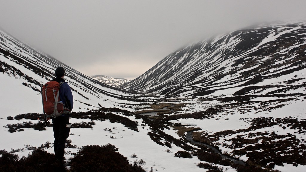
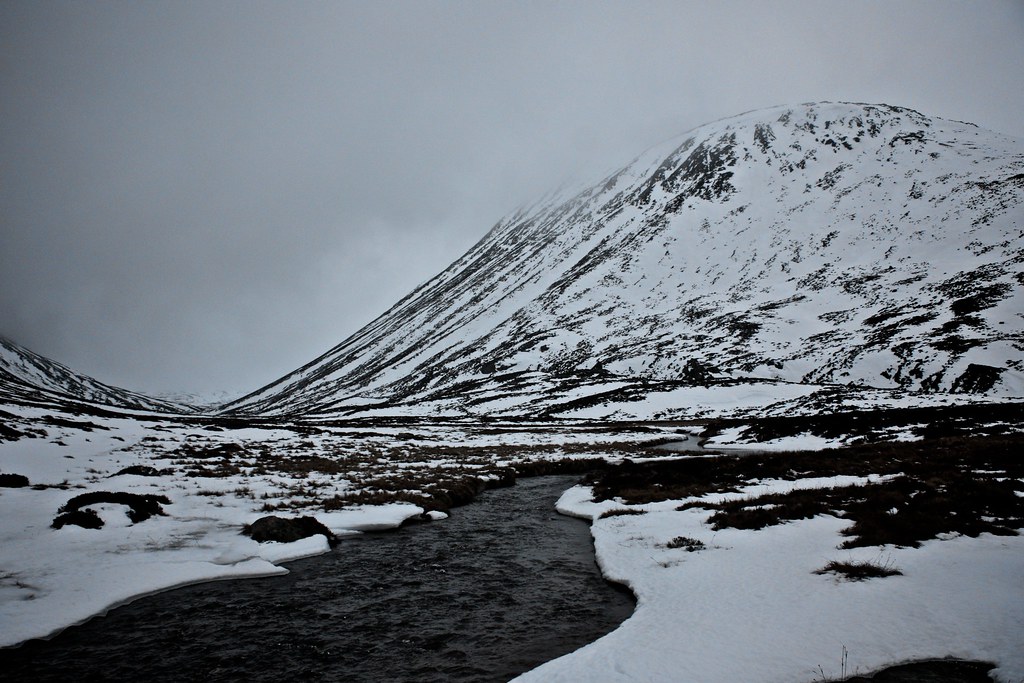
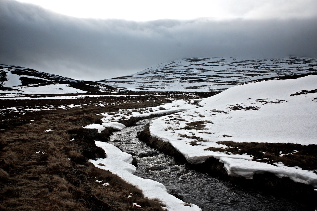
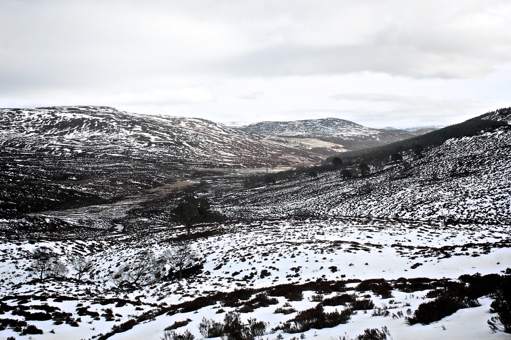
Rapidly I left behind the mild woods and out in the exposed country there was a chilly wind and deep snow. Nevertheless I made good progress and by 4pm had reached my intended camp spot, a flat, sheltered spot in the narrow upper-reaches of the glen where the vehicle track becomes a path and everything feels that bit wilder.
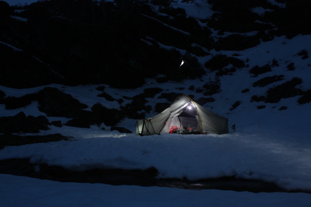
I had fun pitching the tent. I stamped out a platform in the snow and then set about trying to get my pegs to hold in the slushy snow. It was easy to dig all the way down to terra firma but the earth was iron-hard and unyielding to titanium. Therefore I ended up forming some makeshift dead men which, with a little work-hardening of the snow, were secure enough to get a decently tight pitch. I soon settled in with a coffee and a book to watch as the light slowly faded. As sunset approached a blush of colour tinged the sky but soon enough the low cloud was back and it looked unlikely I would get any opportunities for stargazing.
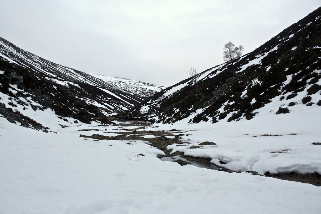
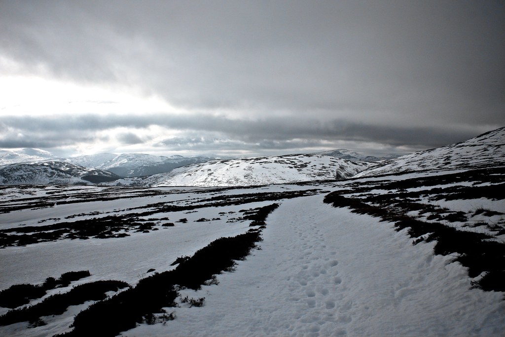
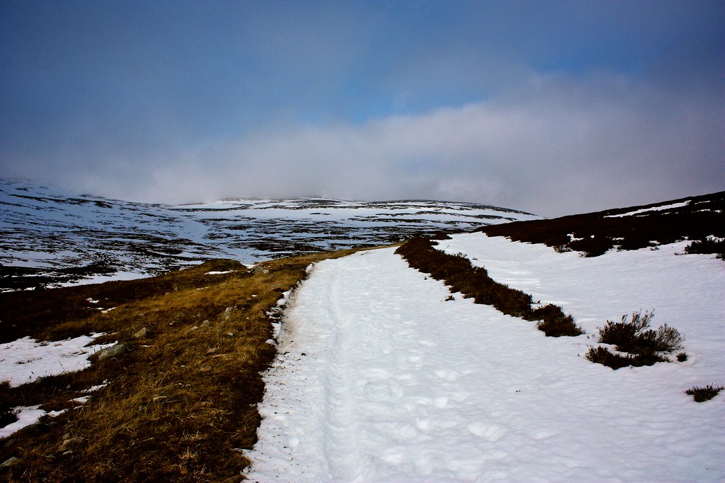
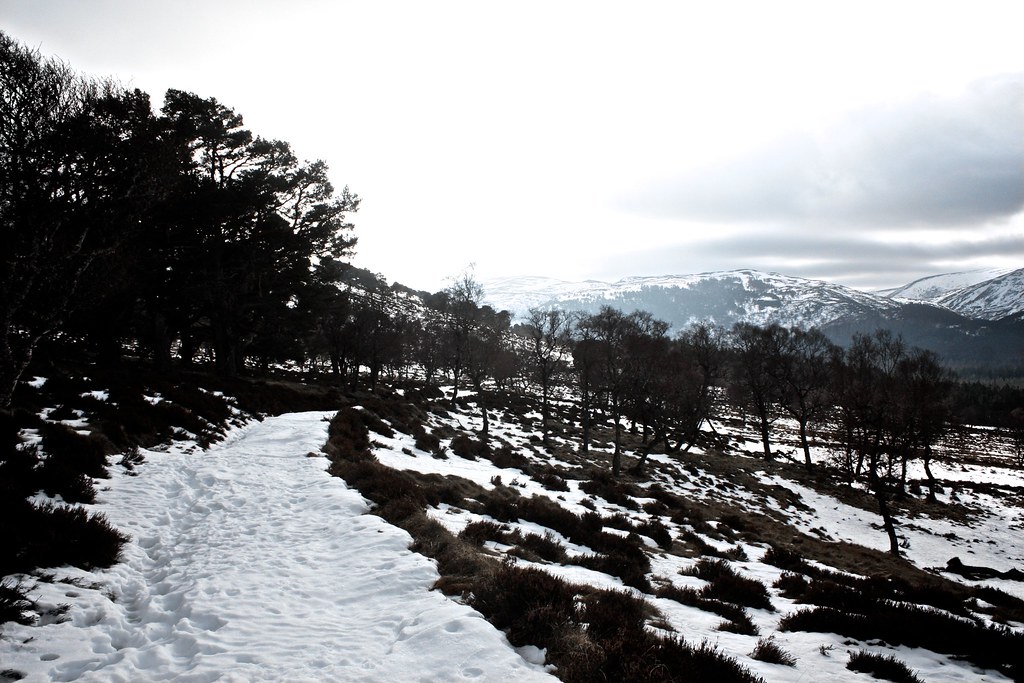
After a cozy night I was up before dawn and following a warming breakfast of coffee and porridge headed off up the glen just as a grey, monochrome daylight broke over the hills.
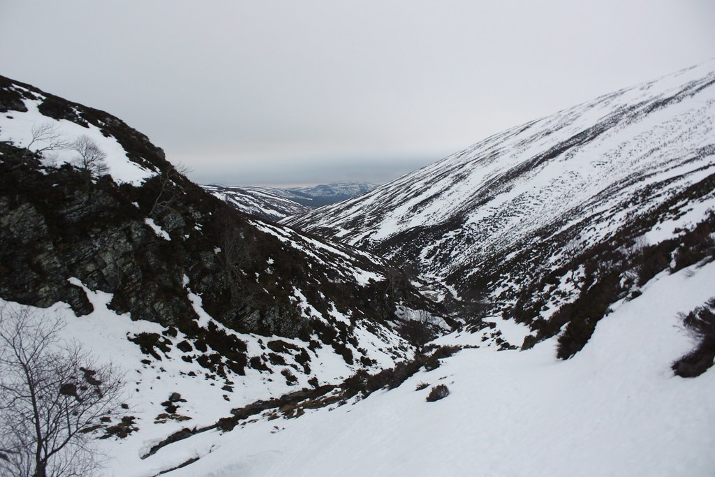
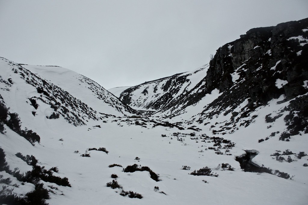
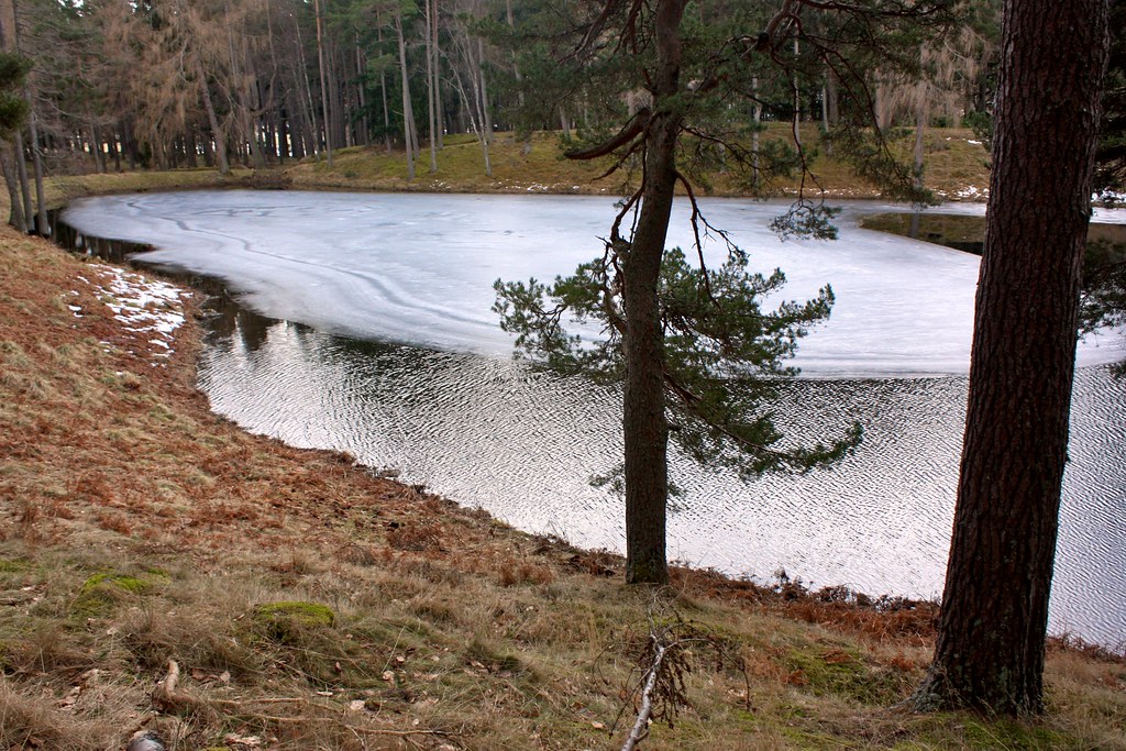
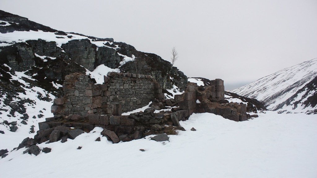
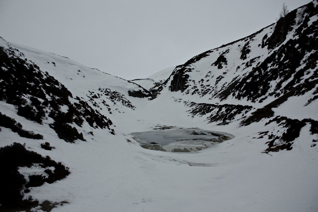
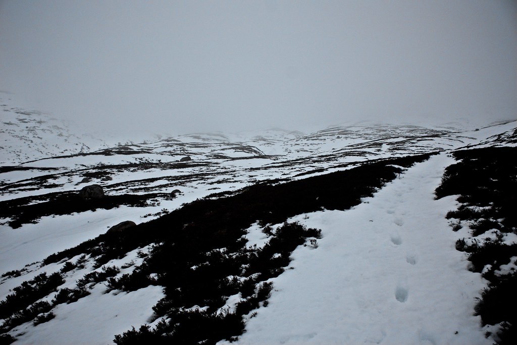
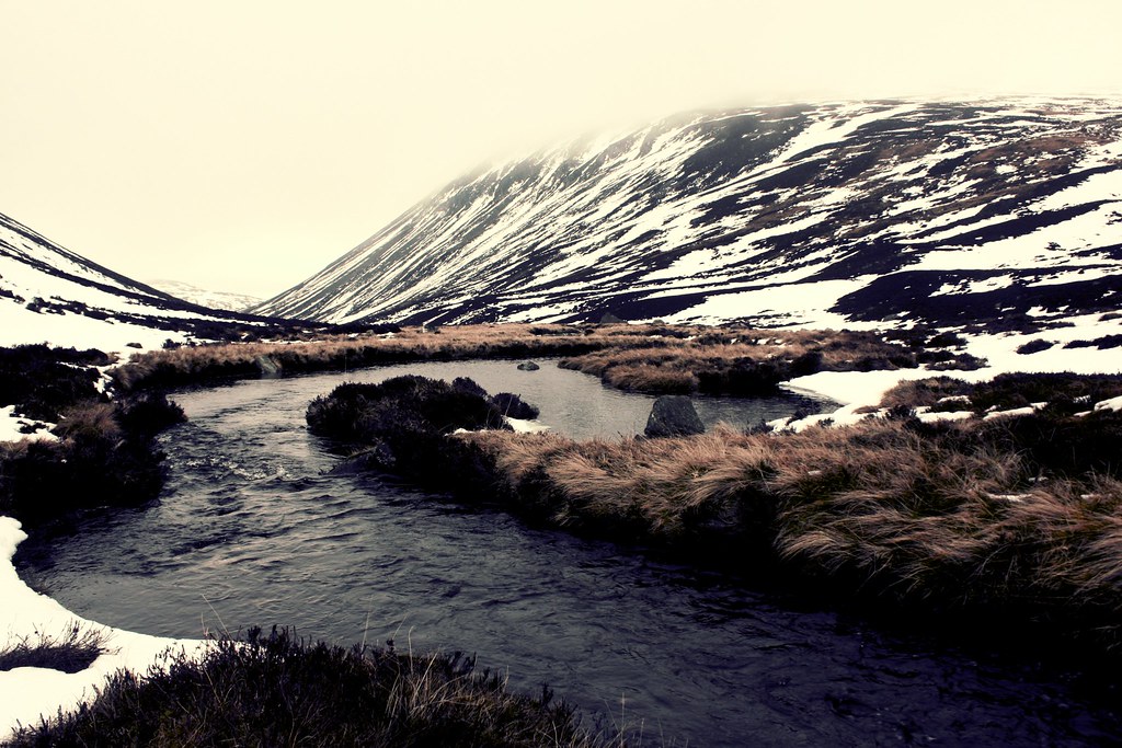
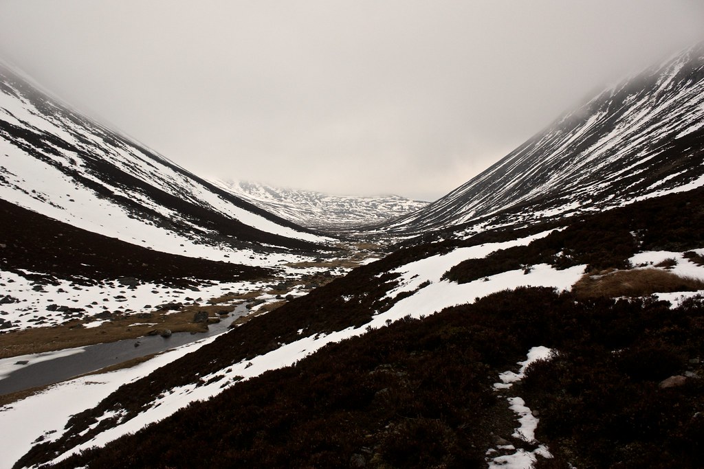
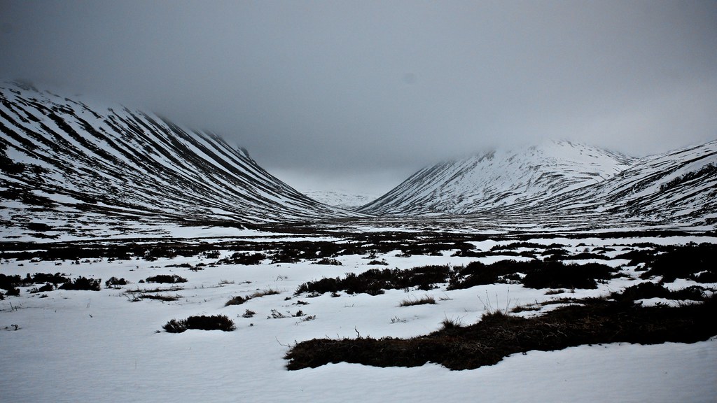
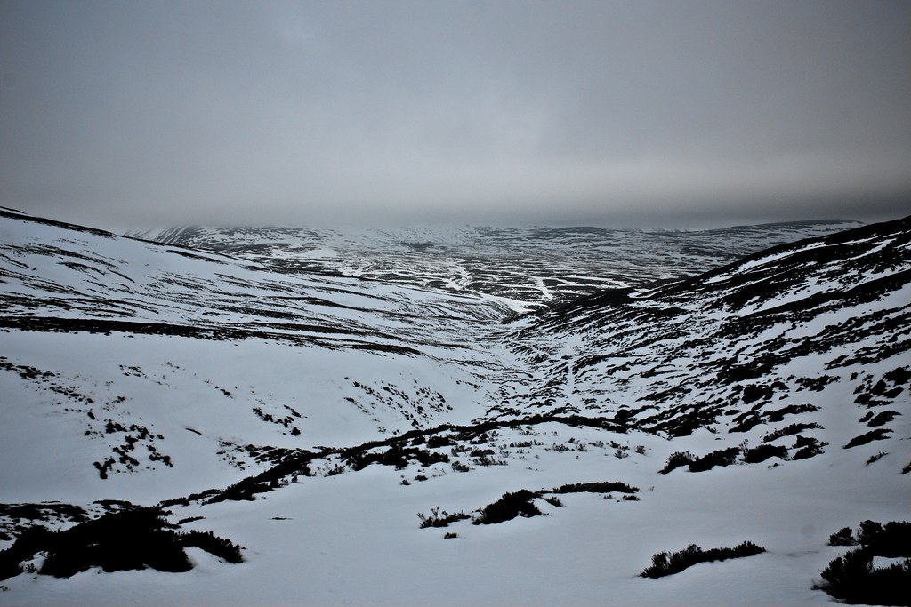
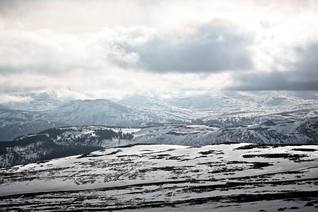
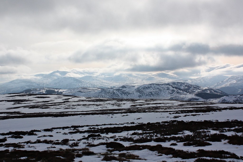
The path was covered in consolidated snow but it yielded easily to my boots and I made quick progress up to the Slugain Ruin where another couple of campers were just waking up (I had seen their headlamps bobbing up the glen the previous evening after nightfall). I continued on past the frozen lochan and up to the watershed where there were expansive views out over the Quoich to the mist-shrouded slopes of Beinn a’ Bhuird.
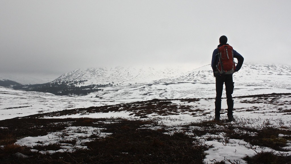
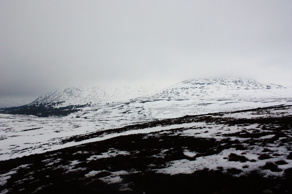
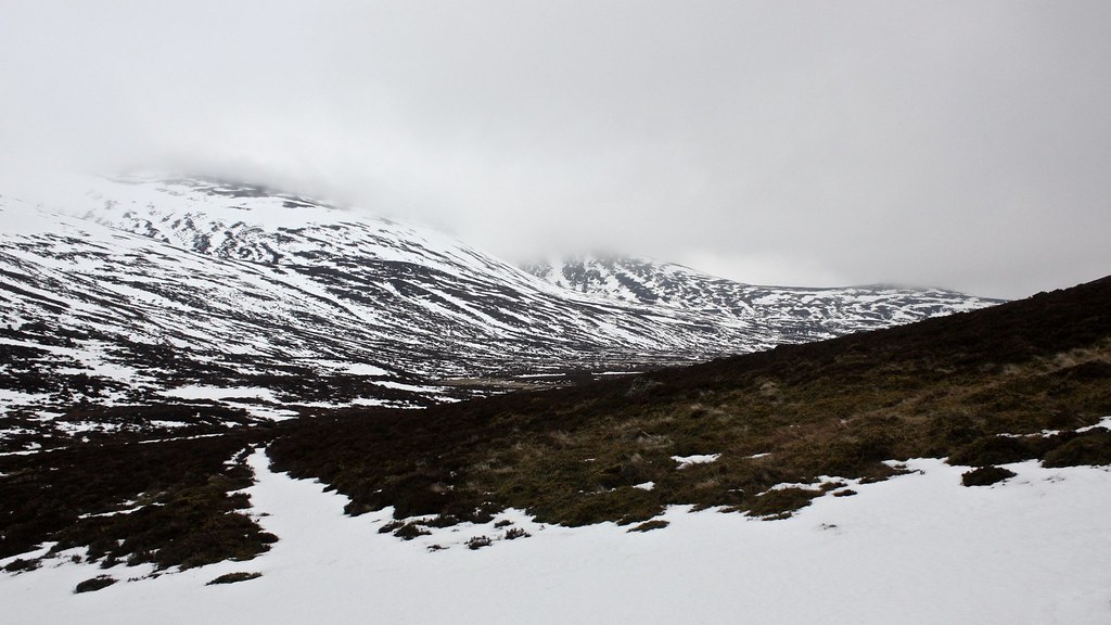
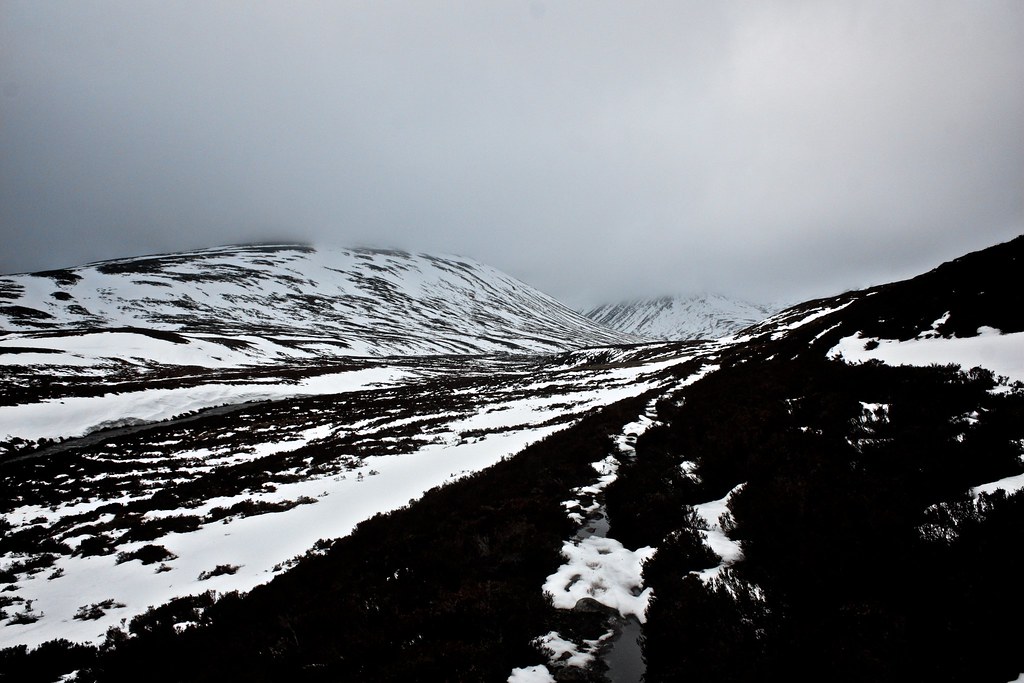
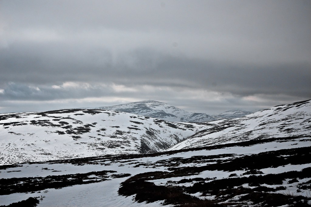
The low cloud made this high moorland more wild and lonely feeling than usual and it was comforting to found the occassional traces of a track as I headed first north towards Ben Avon before turning eastward to climb up towards the watershed that leads to Glen Gairn. The burbling of the grouse was the only sound that broke the silence in this wild, lonely place.
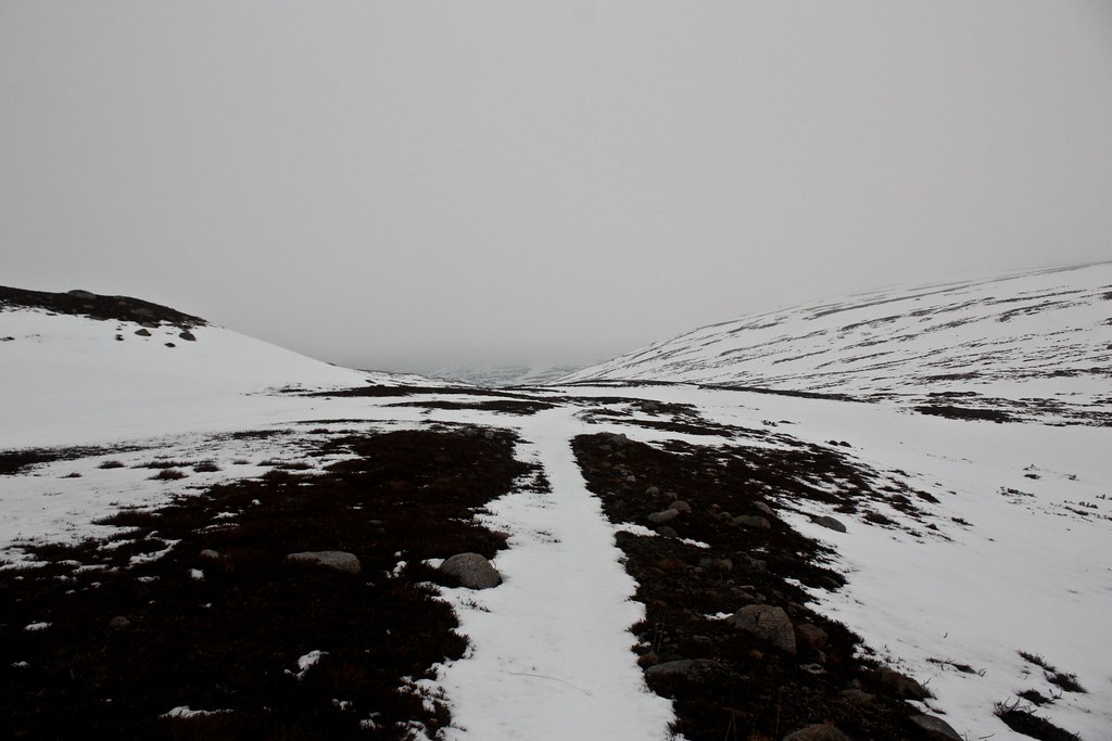
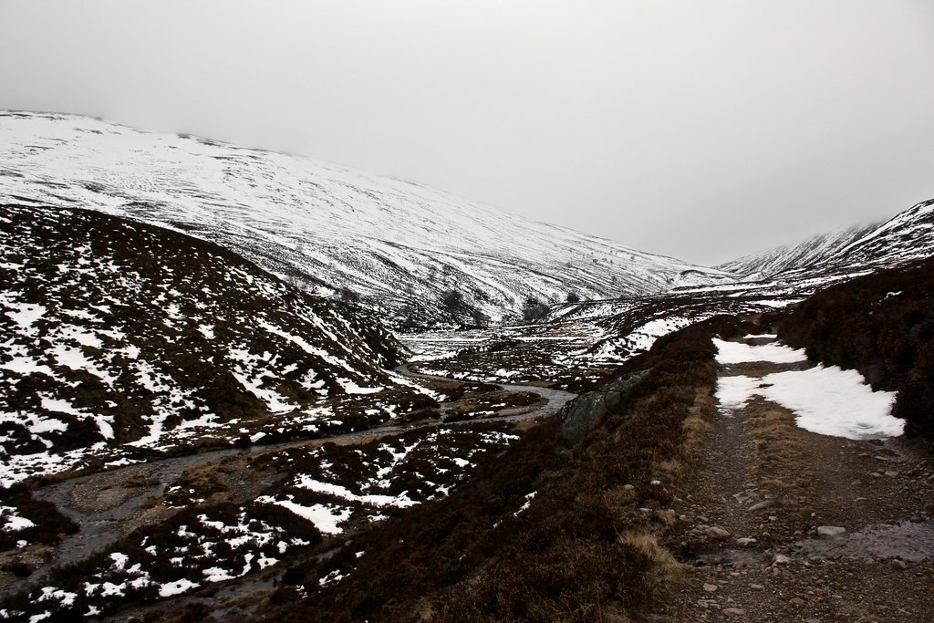
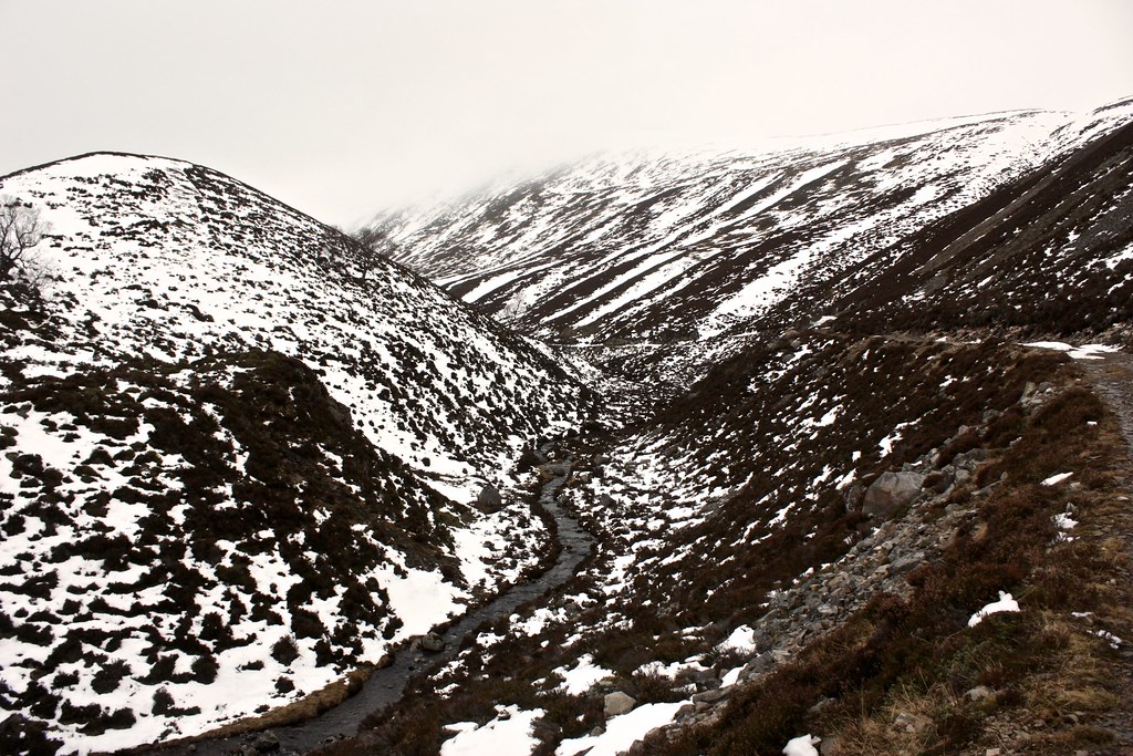
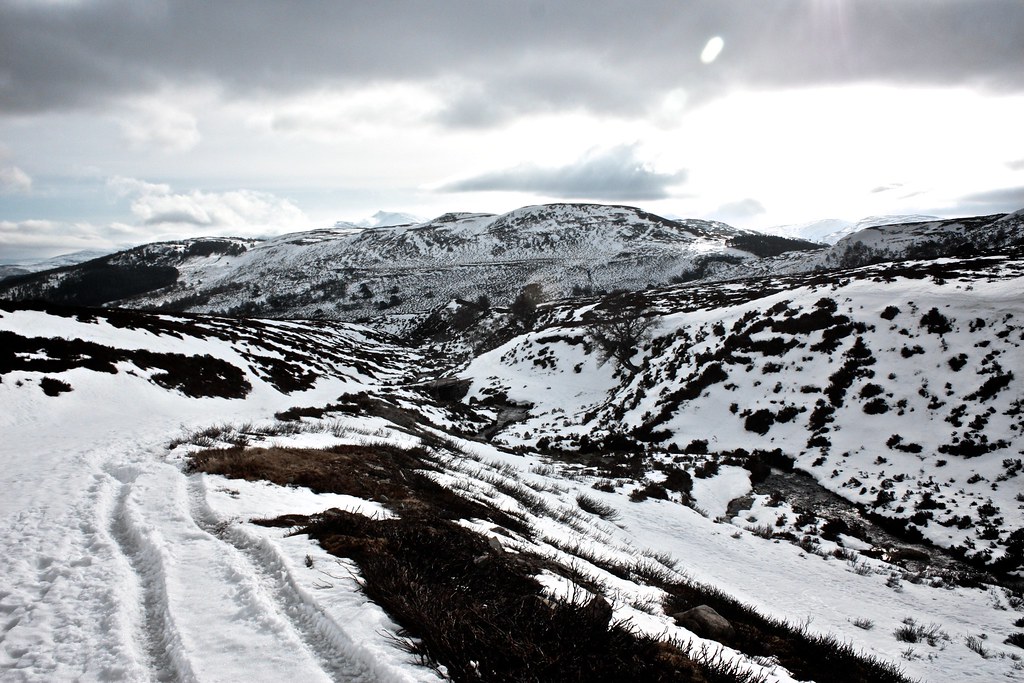
Beyond the watershed the path was difficult to follow and I ended up weaving up and down and around hillocks and through deep drifting slow until I reached the narrowing in Glen Gairn where the preciptious slopes of Cairn Liath and Ben Avon almost meet and where I finally picked up the track again.
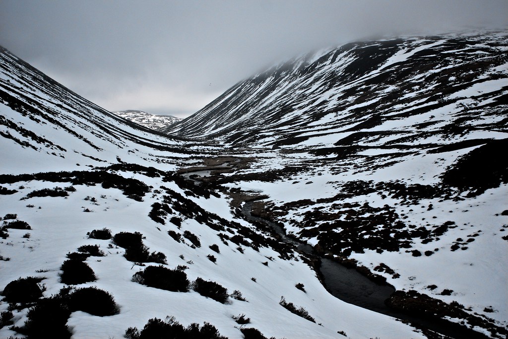
Here I crossed the Gairn for the first time as the track took to the eastern bank and then passed below the steep slopes of Cairn Liath. There were occassional traces of avalanche runout but the slopes were largely stripped of snow. At path level there was still plenty to negotiate but the track was easy to follow.
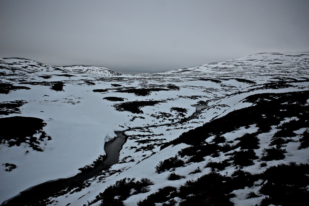
In the narrow glen the chill wind was channelled unpleasantly and so it was good to get into the more open part of Glen Gairn where, after crossing the river again, I made further progress eastward before stopping for some food.
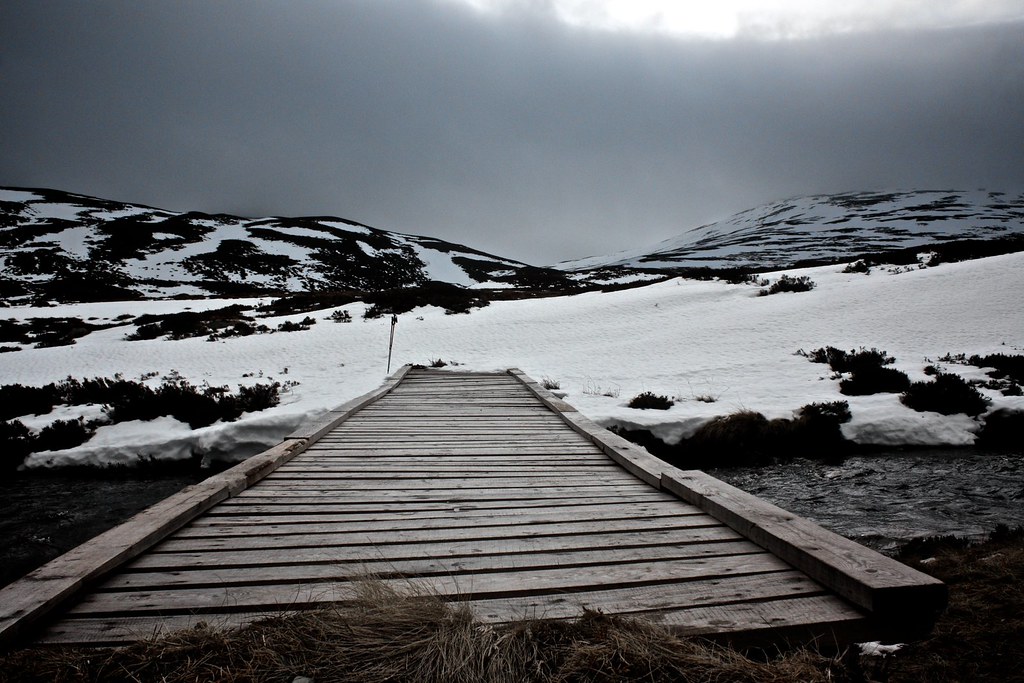
With restored energy levels I now made my way along the glen, following a track which was snow-covered in places, and just muddy in others. Whenever a side stream crossed the path I was at risk of dropping several feet through slushy snow and into the water below. Eventually I took to crossing these areas on all fours! I was glad to finally reach the bridge which marked the point at which I would start heading south to complete the loop.

On the other side a track headed south towards the Bealach Dubh but at some point I made a wrong decision and ended up doing a stretch of cross country until I finally picked up the narrow line of the track which climbed up to the high point.
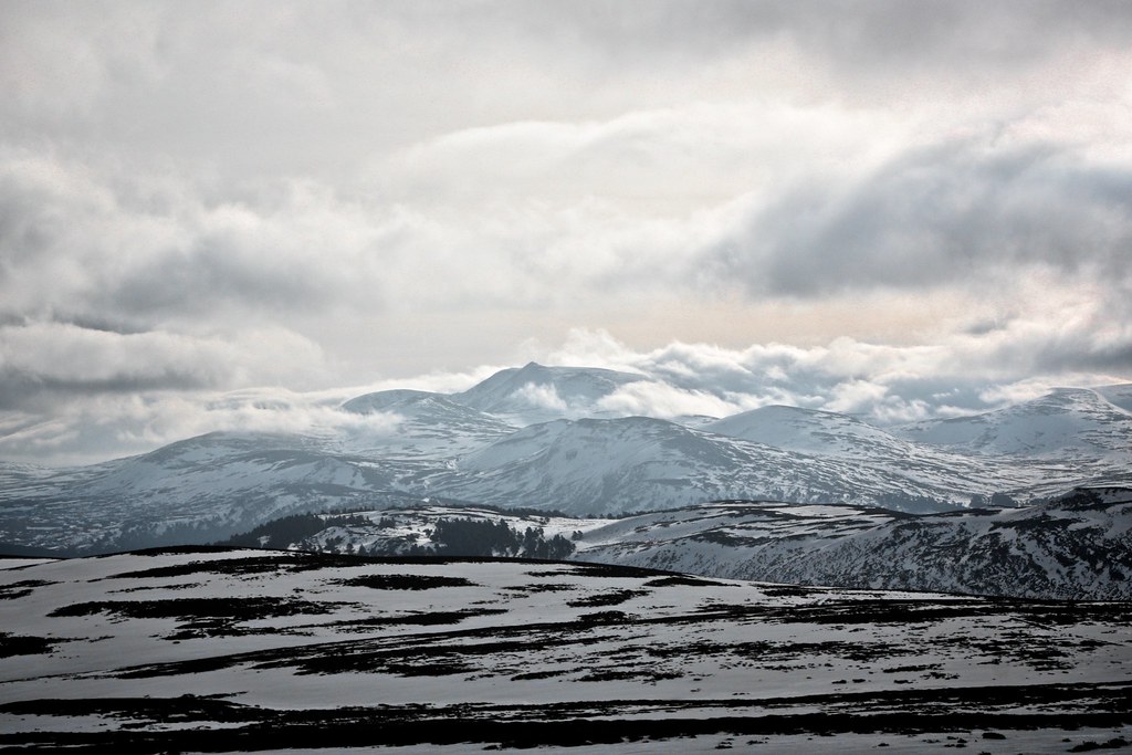
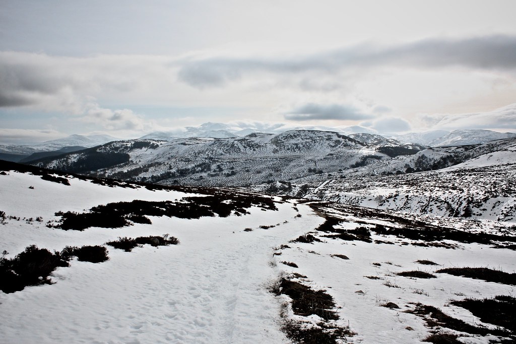
The saddle between Culardoch brought with it spectacular views of the White Mounth, just starting to catch sun as the clouds broke. Lochnagar was shrouded in cloud but as I followed the vehicle track south more and more of the hills emerged until I was looking at a vast panorama of the Deeside hills.
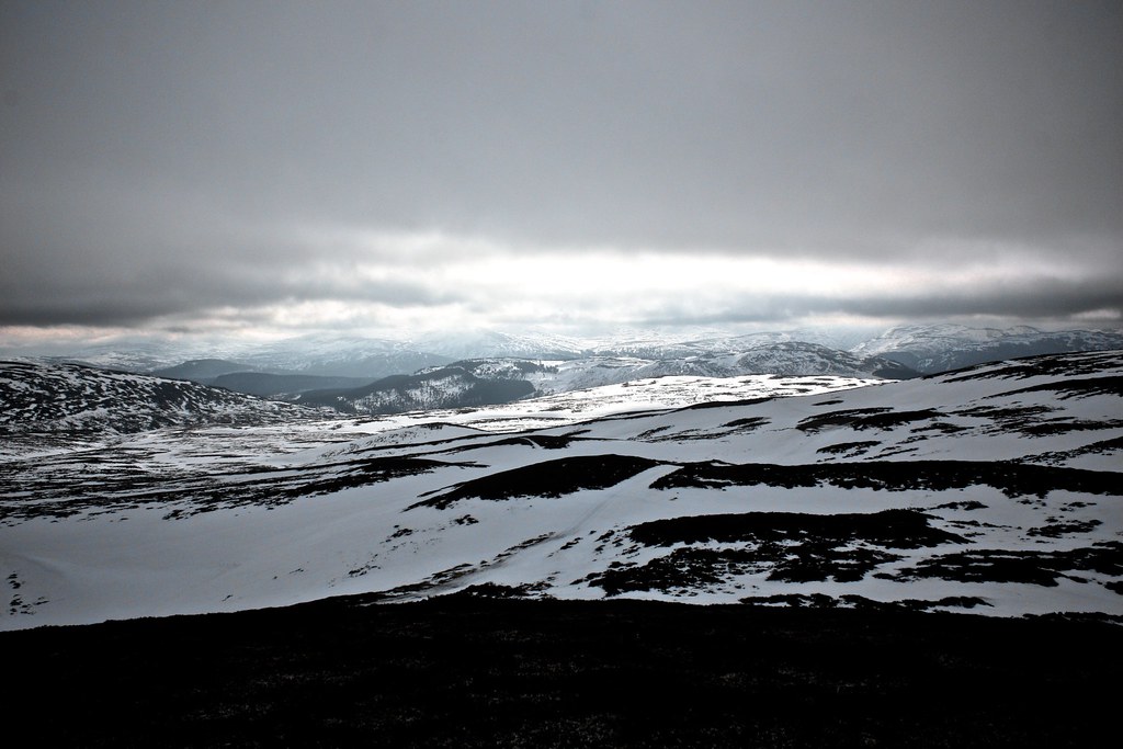
Morrone was visible and then Lochnagar’s summit finally emerged from the cloud. Soon the sunlight reached me and as I dropped towards the head of Glen Feadar I was removing layers and thoroughly enjoying the views all around.
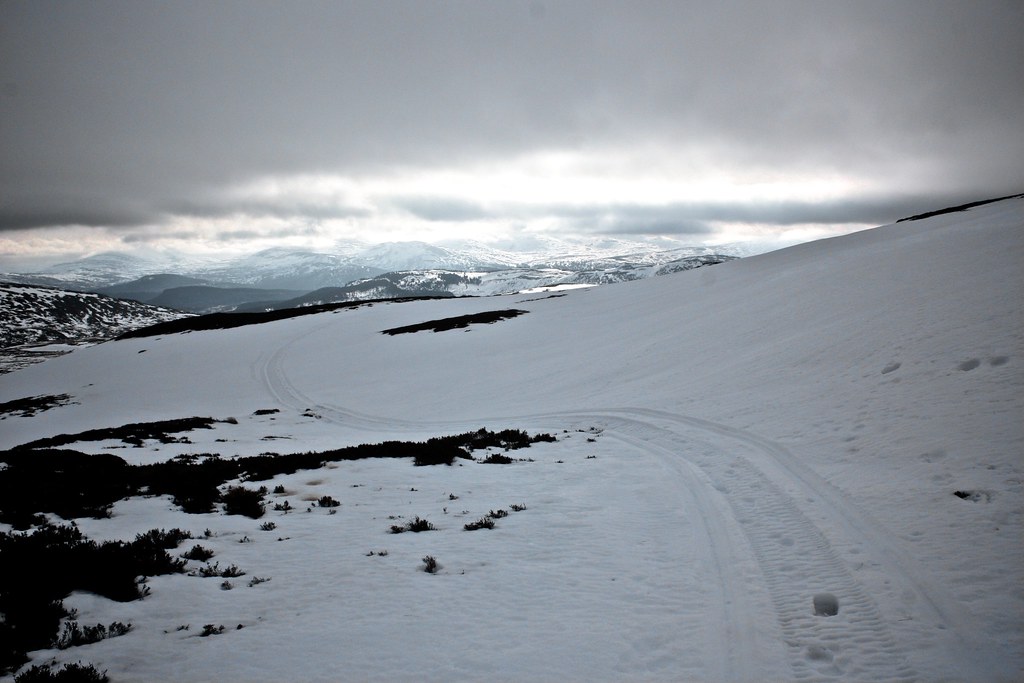
The first hints of blue sky appeared over Cairn Liath behind me as I wound my way up towards the col below Meikle Gorm. The track was snow covered and the passage of quad bikes made the going a little tough but soon I started to reach stretches of woodland where the shelter meant the track was free of snow.
There were now views westward down Glen Dee and back towards Slugain and Carn na Drochaide. The track emerged from the woods and the snow seemed to be even deeper than before on this sheltered side of the hills. Eventually though I reached the Invercauld woods and swiftly dropped down through the pine-needle littered slopes to reach the estate road.

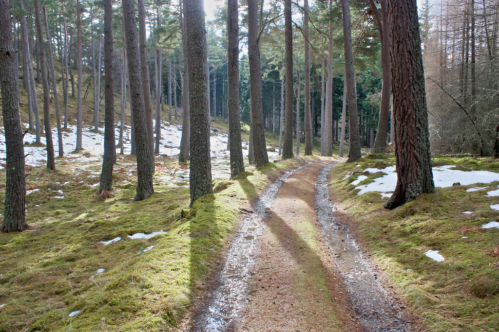
A short stretch of tarmac brought me back to the car where the pleasant temperatures followed me back to Aberdeen after a short but pleasant outing.