Distance: 11 Miles
OS Map: 43
Yesterday morning saw me over on the other side of Aberdeen at just after 7am to find the meeting point of the Stocket Hillwalking Club. After wandering the streets before enquiring at the local newsagent (and stocking up on Dairy Milk Fruit & Nut bars) as to the whereabouts of Mile End School, I turned a corner and found a hillwalker waiting in a likely spot. So it was that just after 8am we were heading out of town on a warm coach, bound for Deecastle, just beyond Dinnet on the south side of the River Dee.
It was a cold, crisp morning, with the sun shining brightly as we headed up away from the road to the top of Slai Na Gour (486m). After a couple of slightly wrong turns we took a good track towards the top but eventually had to break from it and head directly up the heathery slopes, climbing over small rocks and the occasional trickle of water flowing amongst the moss.
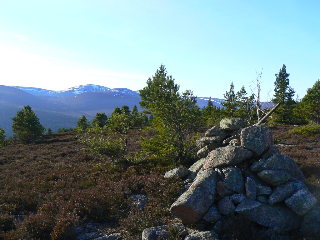
As we approached the top the majestic peak of Lochnagar could be seen to the west, with the bulk of Morven behind us. From the summit cairn we had a great view of our route to the west, heading along a range of undulating hills that rise above Glen Tanar to the south. Mount Keen, which I climbed last November, stood proudly at the end of the valley, it's tooth-like tip silhouetted against the low sun.
After a mug of tea, and before hypothermia set in, we headed off along the plateau, dropping down to begin the ascent up to the summit of Black Craig (529m), a broad flat topped hill that led quickly on to Craigrae Beg with the views ahead opening out all the time. This time when we came down off the hill we joined a right of way coming from Deeside and crossing over into Glen Tanar. We followed this a short distance before crossing the boggy Black Moss where occasionaly pools and streams were ready to catch a misplaced foot.
This brought us to the climb up to the top of Knockie Branar (606m) where after getting through a deer fence we found a spot to stop for our lunch. Ahead we had an amazing view of both Lochnagar and the Cairngorms Massif with the distinctive peaks covered in snow. We could also see Morrone and its radio mast in the very far distance. Mount Keen was now directly to our south and in the foreground was the Pannanich Hill.
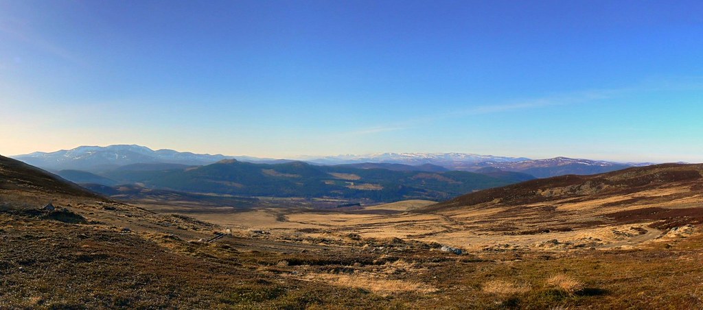
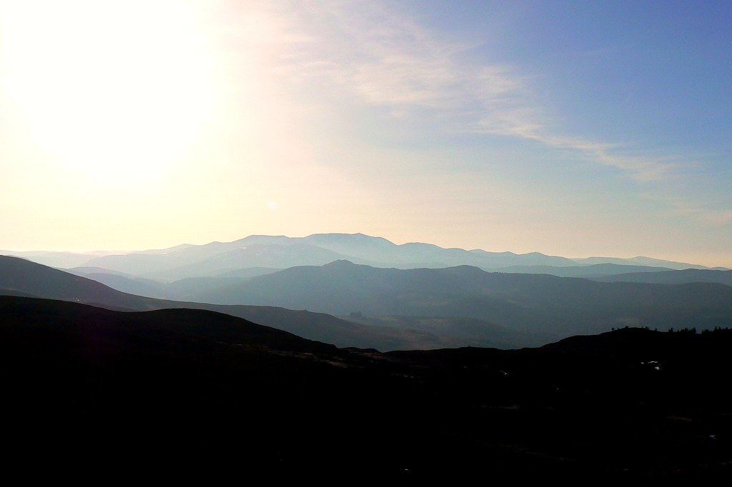
After lunch we dropped down and crossed another shallow valley with the banks of the stream still covered in snow. We joined a drover's path which came from Glen Muick heading for Mount Keen and following this brought us to the summit of Craig Vallich (609m) where the view surpassed even that of the lunch stop. We had a panoramic view of Lochnagar and Glen Muick with the Cairngorms forming a dramatic backdrop.
We now turned north, heading along the broad ridge to the summit of the Pannanich Hill (601m) where, next to the summit cairn and trig point we had the last of the tea and looked back along the path we had come. All along this part of the walk we had been following a herd of deer who had now headed off down to the more remote slopes for a bit of peace.
In order to reach the pub in Ballater we now had a steep descent through boggy ground until we reached the Pannanich Forest (famous as a home of the endangered Capercaille) which led us down to the bridge over the Dee and the comforts of the Prince of Wales pub.