Distance: 28.8 km
Ascent: 1553 m
Time: 7hrs 37mins
Munros: Bynack More (1090m), Cairn Gorm (1245m)
Weather: Hot sunshine, light breeze
Route: View on OS Maps
After what seemed like interminable weekends of rain, wind and general unpleasantness, yesterday’s weather was warm and sunny and so in the evening I quickly made plans to head into the mountains today. The weather forecast was particularly promising for the eastern side of the country so I checked out what I had still to climb amongst the Munros of the Cairngorms (quite a few in fact) and then checked out a couple of possible routes. With long summer days still around I decided that a route taking in both the out-of-the-way Bynack More, and the eponymous Cairn Gorm would work out well and saw that there was a track that cut down from the ski centre towards the Ryvoan pass allowing me to complete a satisying loop of the two. Soon after my bag was packed and I was ready for an early departure.
Sunday morning lived up to its bright promise, with unbroken blue skies above me as I drove out of Aberdeen. There was some cloud around as I passed over to Strathdon and from the viewing point past Corgarff I could see that the higher Cairngorms were holding on to a cap of clouds. No matter though as the forecast had promised improved conditions into the afternoon.
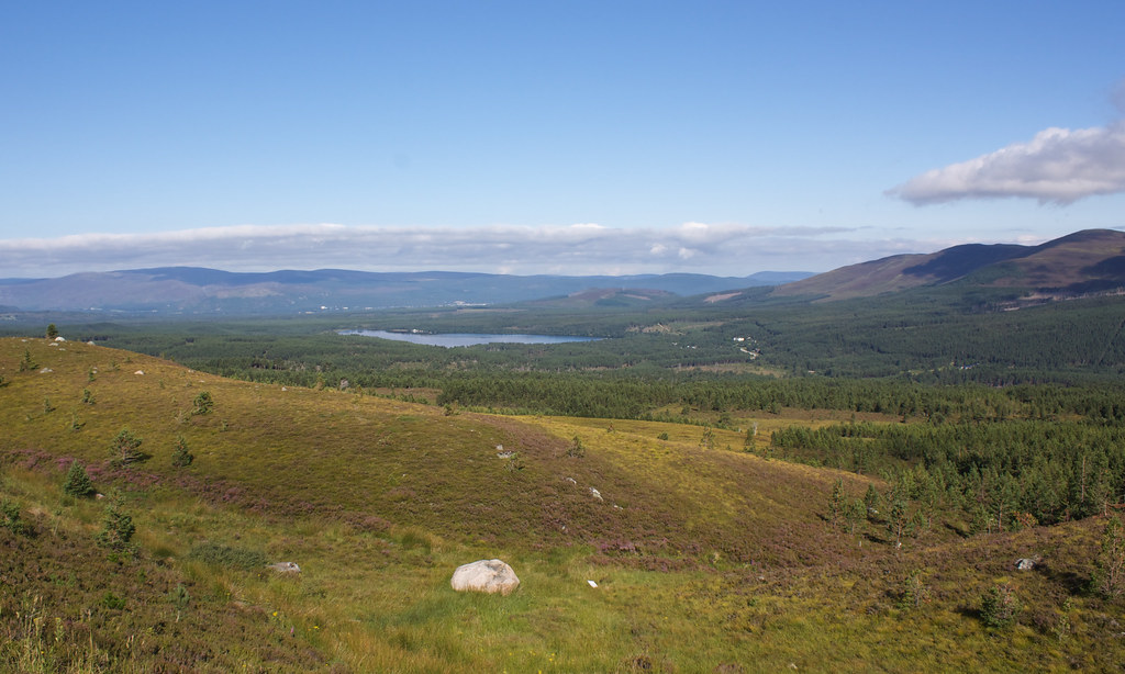
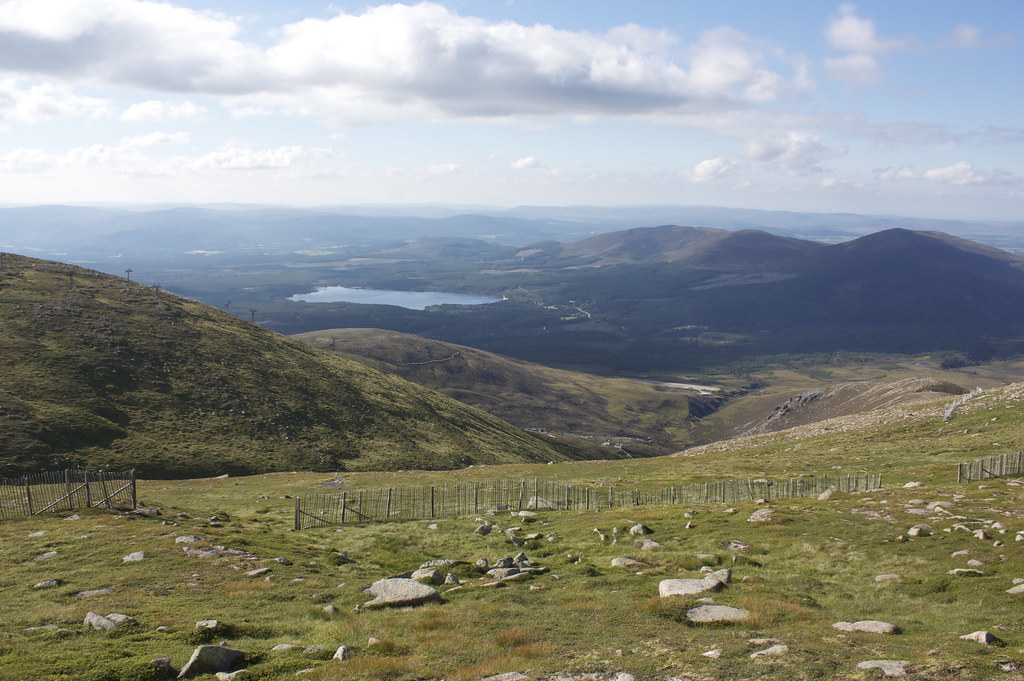
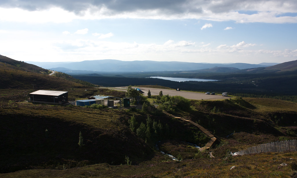
I drove along the quiet backroad through Nethy Bridge, along to Coylumbridge and then hit the tourist traffic on the main road up to the Cairn Gorm ski centre. Small sailing boats were already plying the still blue waters of Loch Morlich as I passed by it before the road climbed up to the lower ski centre car park. There were a few people up here admiring the view back down over Glen More, but no-one else was booting up for a walk.
Undeterred I made my preparations, only to discover that both sets of batteries for my GPS were virtually dead. It wasn’t that I was worried about navigation. I had a map and compass. I was worried about the loss of my track and the associated statistics (how sad!). Luckily, my phone came to the rescue and I soon had My Tracks up and running and recording a GPS track for me (no data loss, hurrah!).
From the ski centre car park I dropped down to the Allt Na Ciste, crossing it and turning to follow the track on its east bank. SOon after this a track forked off to the right and I followed this as it wound its way across gently rolling, heather clad land across to Lochan na Beinne which was beautifully still in the morning air. At just after 10am it was already a very hot day.
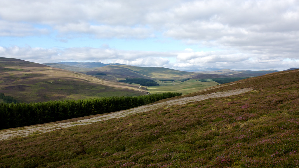
From the Lochan the track followed a boggy course below the lower slopes of Stac na h-lolaire. At some point I deviated away from the line of the track marked on the OS Map, though I was still on a clear route. This kept me above the wooded gully which I imagine would have been very boggy. Unfortunately the track I was on finally bent around to the west but petered out in a further gully where a reedy burn soaked both my feet. I continued along it as it went into the deeper section of woods and although I must have crossed it at some point, missed the track. Instead I broke through waist-high ferns to reach another gully which had been largely cleared of trees. Although it was steep I was able to pick my way carefully down it. In the shelter of the gully though it was hot, damp and very fly-infested.
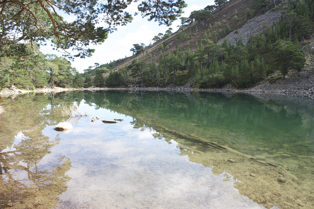
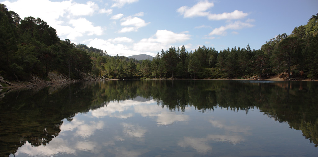
I was glad, some time later, to reach the floor of Glen More where I immediately hit the excellent path that comes up from Glenmore Lodge. The going was much easier now and I soon arrived at the branch down to An Lochan Uaine (the green lochan) which I headed down to. No pictures can do justice to the incredible beauty of this piece of water.
In the shelter of both hills and thinning pine trees it more than lives up to its name, its glass-like surface mirroring the scenery. I sat by the water munching on a cereal bar and enjoying the tranquility of this idyllic spot. A few other walkers came down to explore its banks and so I eventually moved on, returning back to the track which now heads towards the Ryvoan Bothy.
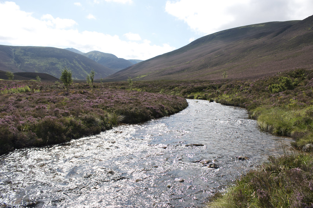
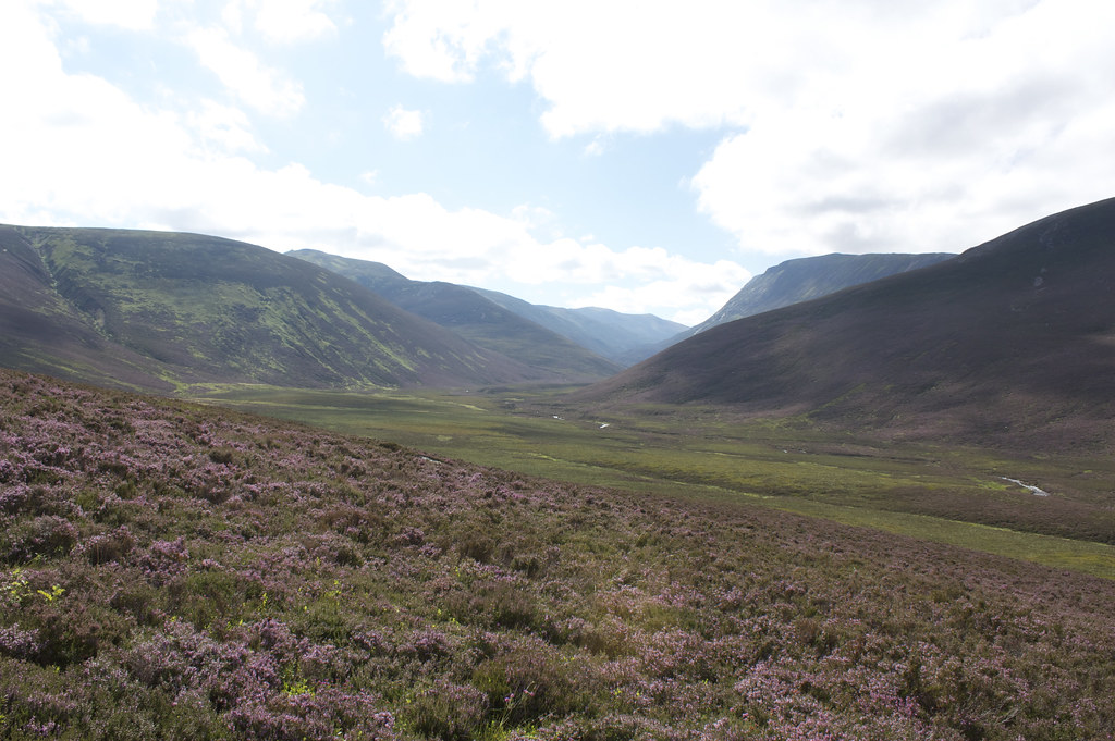
Shortly before the bothy a Scottish RIghts of Way Society sign points a fork in the road. I took the right fork to Braemar as this path eventually leads to the Lairig an Laoigh, one of the passes through the high Cairngorms. The track is of excellent quality and in short order I was at the wide opening of Strath Nethy, crossing the River Nethy by a good quality footbridge.
On the far side the track branched off to the left to climb the long, gentle shoulder of An Lurg, a bump in the high, laregely featureless plataue whose high point is the summit of Bynack More.
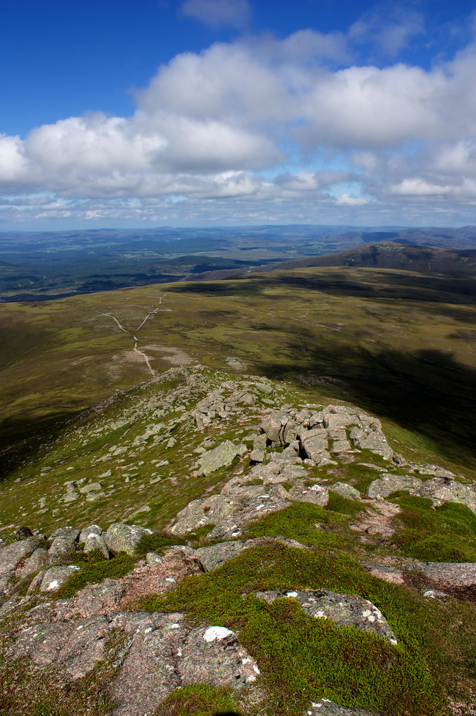
At around 780m the main Lairig track is left as it turns to the east to contour around Bynack More and the Munro baggers track continues almost due south, passing over the 818m spot height from which you get your first true look at Bynack More sitting to the left of its smaller neighbour, Bynack Beg.
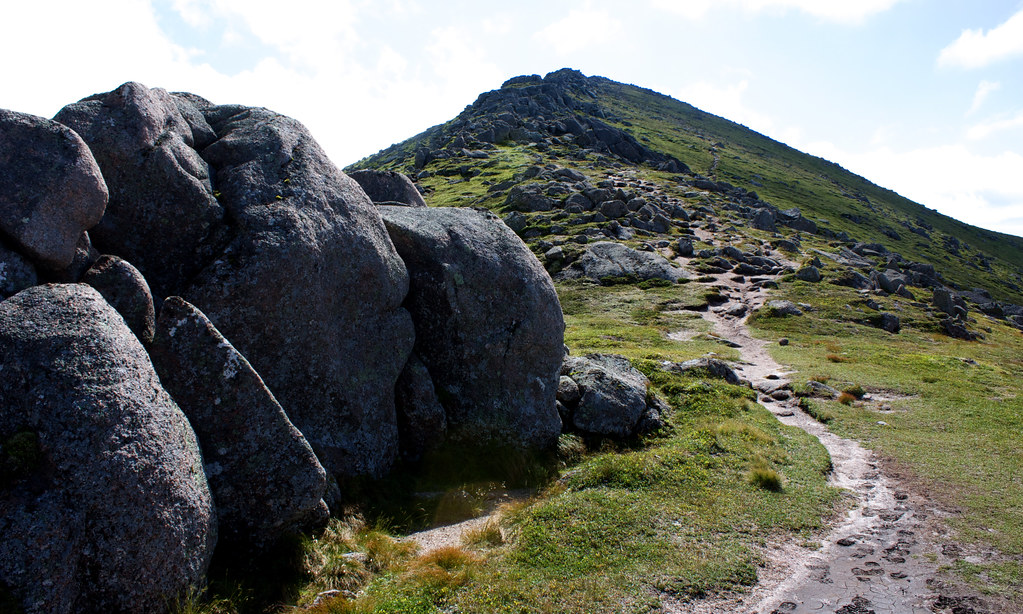
The path heads up the north ridge, very steeply at first but then flattening off slightly as it turns to the west side of the ridge to avoid the rocky crest. Rather than follow the track I stuck to the crest as much as posible, enjoying scrambling up the grippy granite.
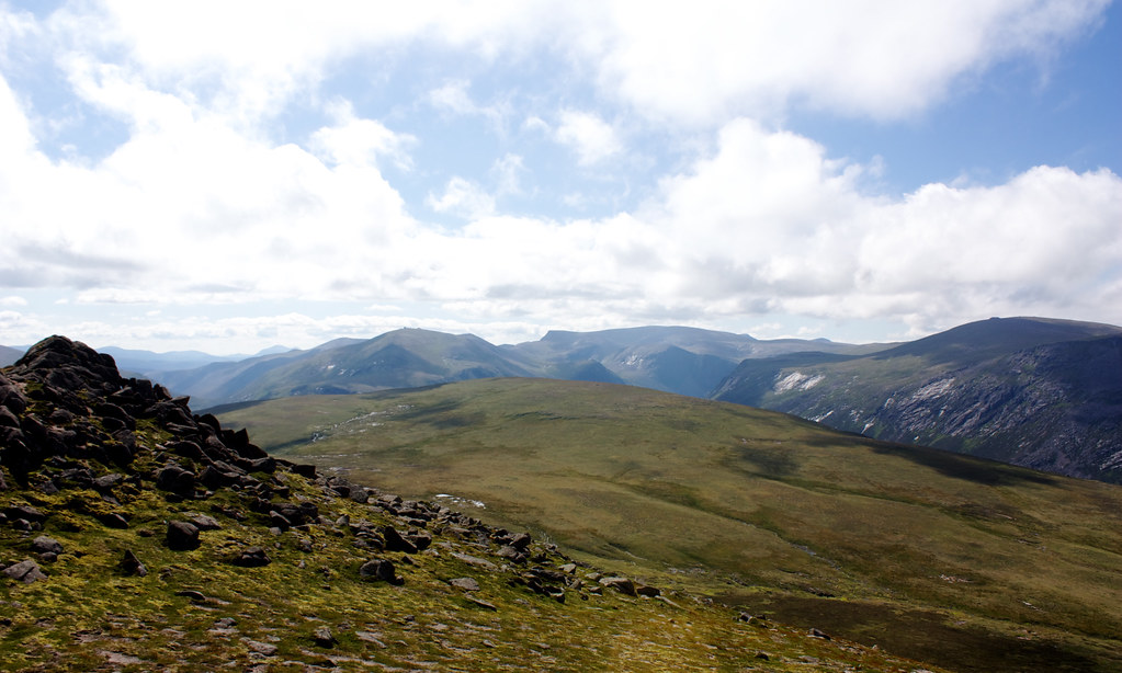
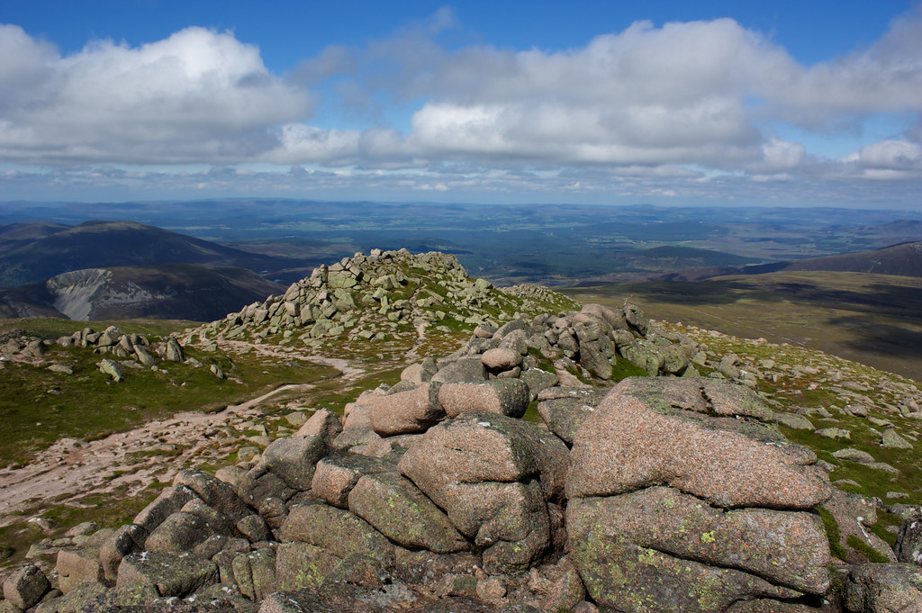
I overtook a couple of folk toiling up the path and soon after that emerged amongst the summit boulders, the cairn some way to my south. Beyond it the sharp profile of Coire Sputan Dearg on Ben Macdui and the tors on Beinn Mheadhoin had come into view.
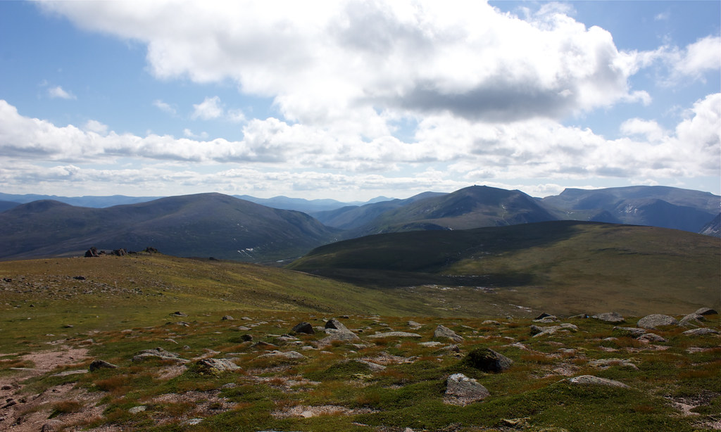
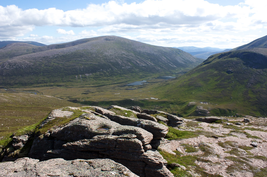
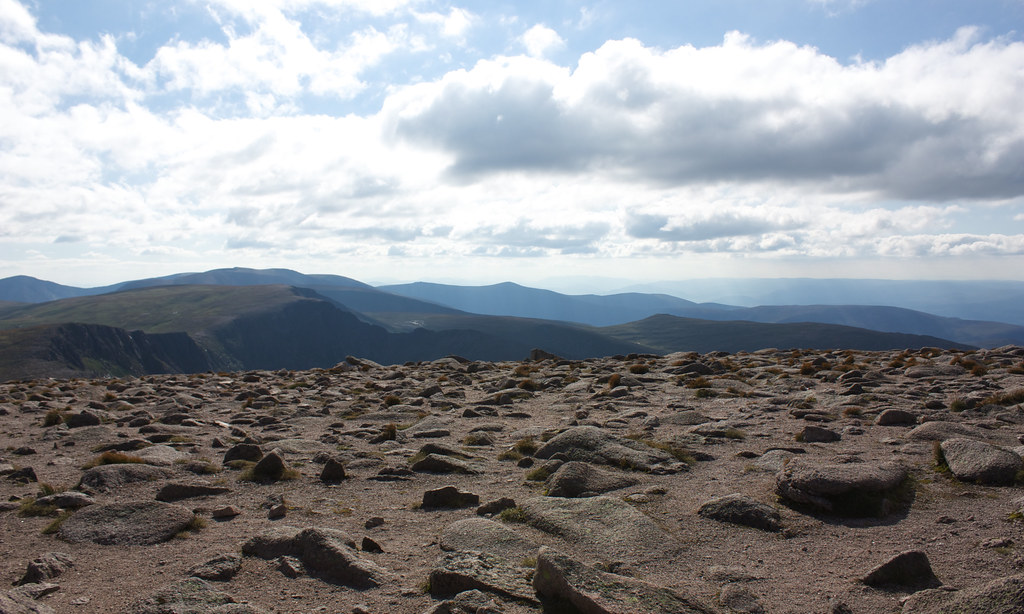
I passed by way of the large summit cairn, taking in the fantastic panorama that had opened up all around me. To the west Cairn Gorm had blown off its early cloud and now stoody dominating the immedaite scene. To the south the pass of the Lairig an Laigh could be seen, the various pools and lochans in it catching the high sun. To the south and east the long sloping sides of Beinn a’ Bhiuird and Ben Avon with its Tors showed off their bulk.
I sat up here for almost half an hour, munching on a sandwich or two and taking in the views under sunny skies. There was only the lightest of breezes and so a few insects had gathered up near the cairn which were somewhat irksome. I had a chat with chap who had been out walking and camping in the hills for almost a week. He had come through rain and high winds but had enjoyed the weekend sunshine and was now prepared for one last night, camped up on Bynack More, before heading back to civilisation.
After my lunch I dropped south from the summit to continue my loop. First of all my route took me down by the Barns of Bynack, a set of granite tors which sit just south of the summit.
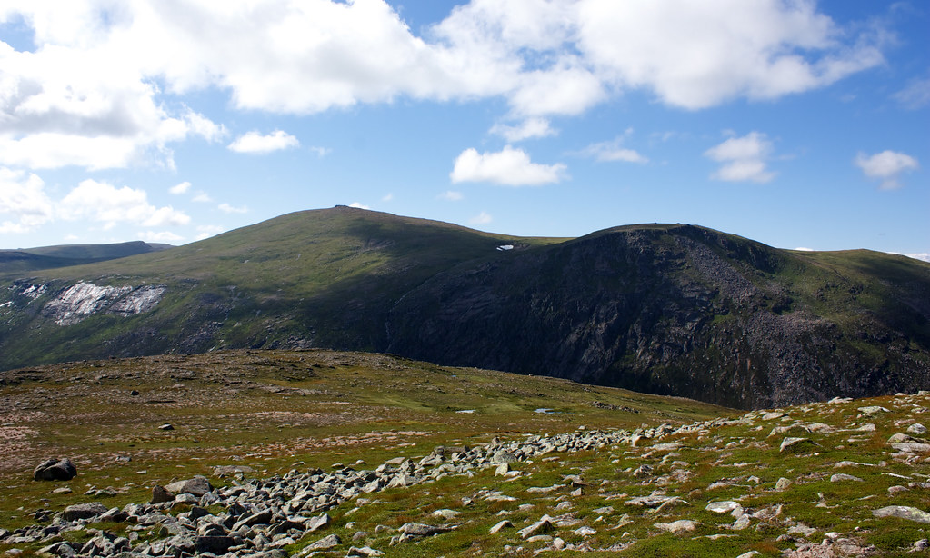
After the Barns I dropped down and made my way slightly west to climb the unremarkable A’ Choinneach. This 1017m high bump is a Munro top but the legs hardly feel it and I only stopped briefly at the cairn to admire the view back to Bynack More before continuing on.
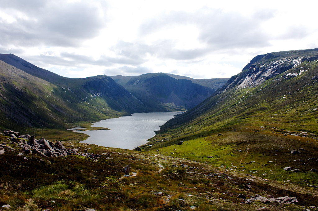
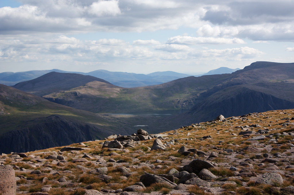
I was drawn by knowledge that the next view was one I had long sought: that of Loch Avon, the body of water truly at the heart of the Cairngorms. It’s dark green surface shimmers below the steep cliffs that make up Ben Macdui, Derry Cairngorm, Cairn Gorm and Beinn Mheadhoin, all Munros. I detoured out to a slight promontory whcih gave a fantastic view down the loch. Here I paused for another twenty or so minutes just enjoying the splendour of this wild and remote spot. I was already mentally noting a number of potential campsites that I’d like to use on a trip through these mountains.
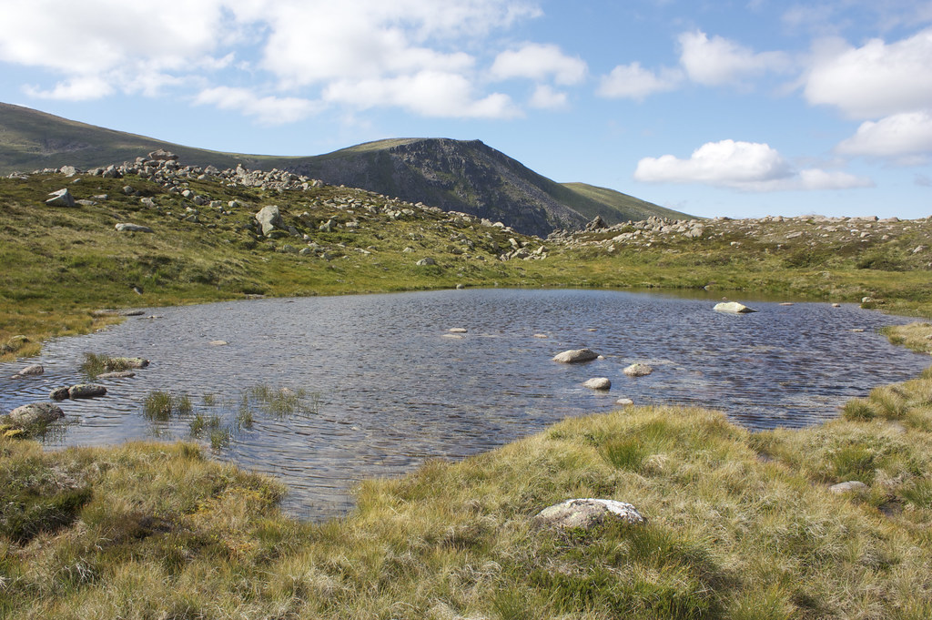
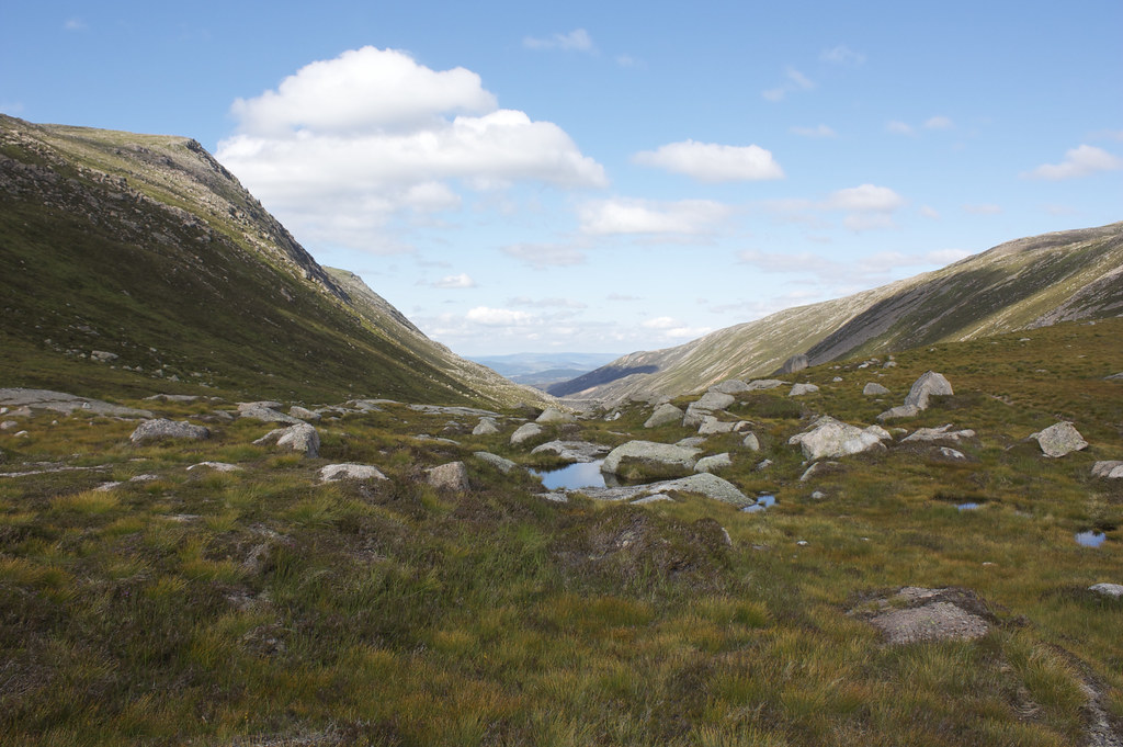
After my break I rejoined the main track which winds down off A’ Choinneach, past several small pools with Cairn Gorm behind them, and down to the Saddle which marks the head of Strath Nethy. In poor weather this would provide a good escape route at this point but with the sun beating down I was ready to climb up to my second Munro of the day, Cairn Gorm.
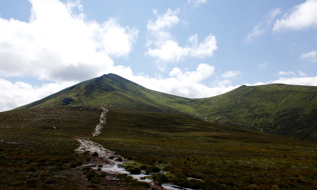
A good track climbs up the right of the high cliffs which guard the summit of Cairn Gorm. It takes you up alongside Strath Nethy giving good views back to Bynack More and the eastern hills.
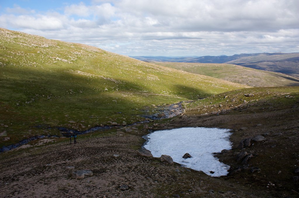
It isn’t the most direct of paths but does take you up a moderate slope that soon gains height. Eventually the path turned westward, following the course of a burn that came down from some of the last lingering snow patches of the year. Here I found a determined skier, repeatedly sliding down the short runs of hardened snow. They seemed to be enjoying themselves.
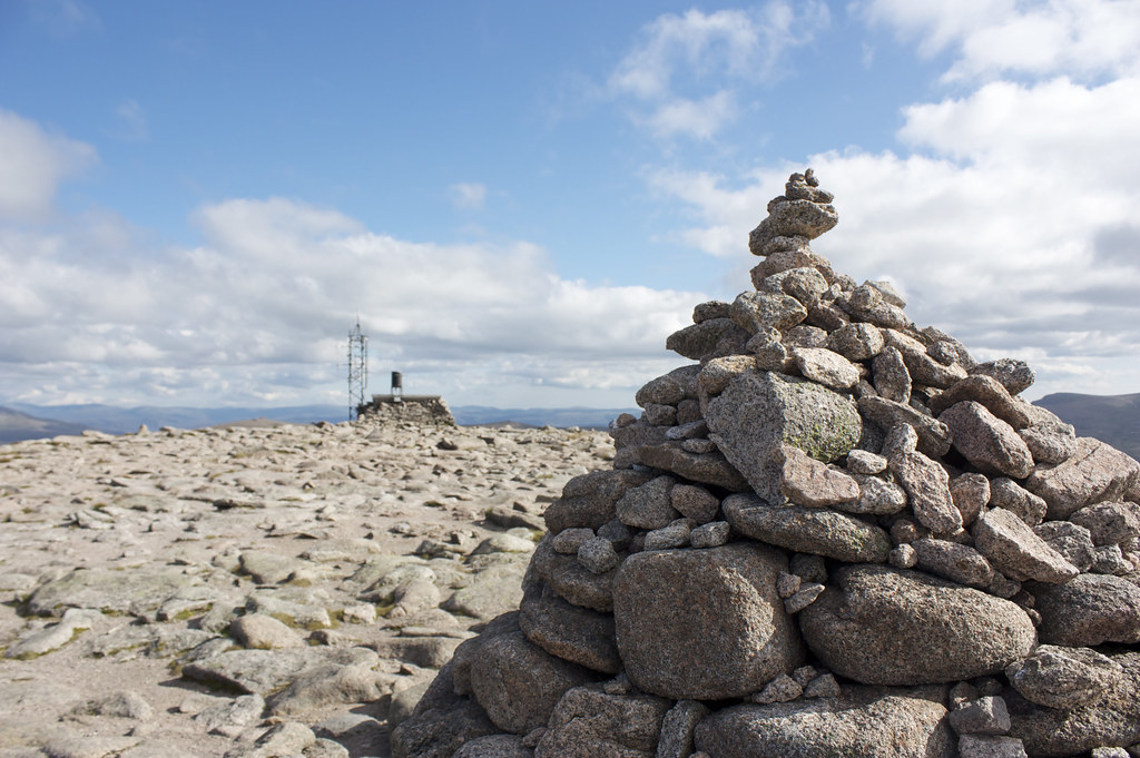
Meanwhile, the path was now heading for the Ptarmigan so I turned off it and struck up the final slopes, emerging on the Cairn Gorm plateau just a few hundred metres away from the summit and the weather station.
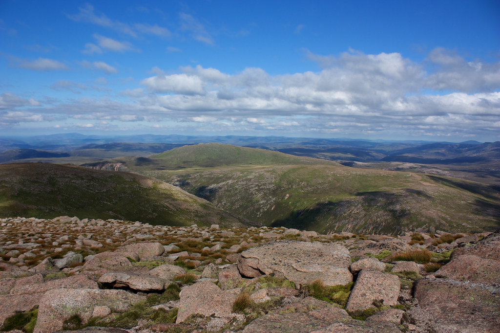
I made my way over to the weather station and then dropped slightly down the bouldery slope to get the view south to hidden Loch Etchachan and Ben Macdui. In the afternoon light it was a wonderful view.
After a pause here I returned to the summit to tag the cairn and check out the view west across Loch Morlich and beyond to where the Moray Firth would lie hidden in haze. It was then an easy walk on the well made track north along the plateau, passing the Maquis Well and soon encountering the ski equipment which make this mountain synonymous with Scottish winter sports.
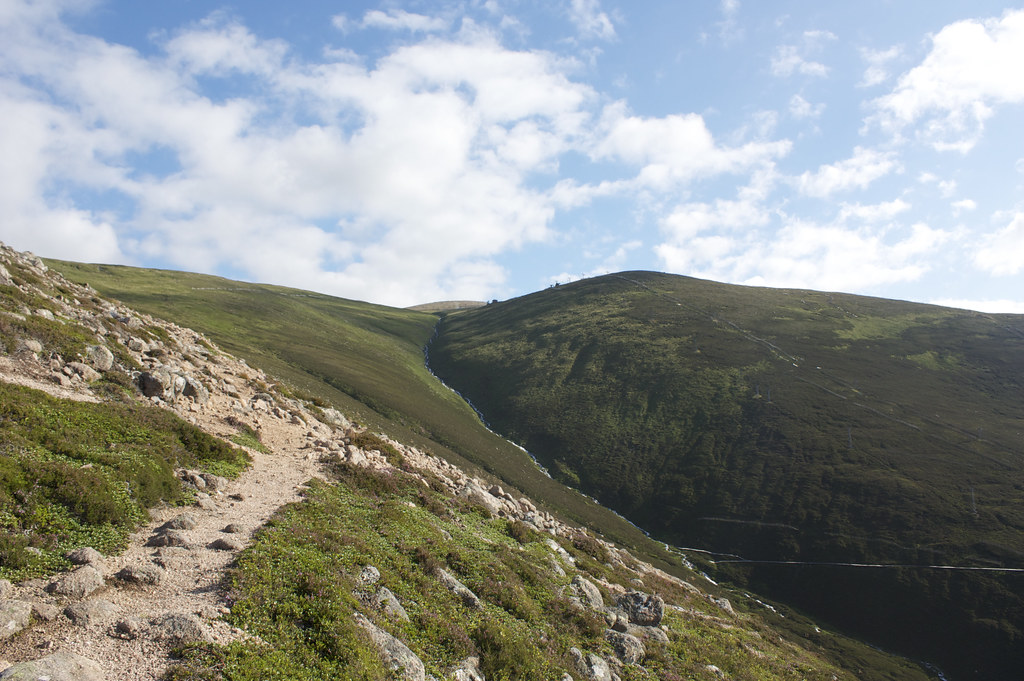
I left the built up area and kept away from the Ptarmigan (where the funicular railway terminates), taking an offtrack route across the rolling plateau until I dropped down into Coire na Ciste. This steep gulley would lead me directly to the car park.
At first it was steep, unsteady ground but after some uncertainty I picked up a track lower down that soon became clear and well constructed. It skirted round and final outlier of Cairn Gorm and then descended to the car park and my car.
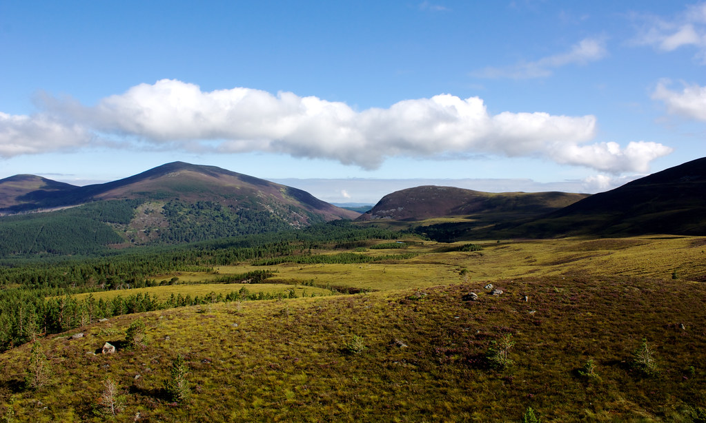
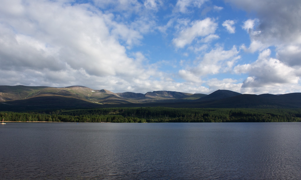
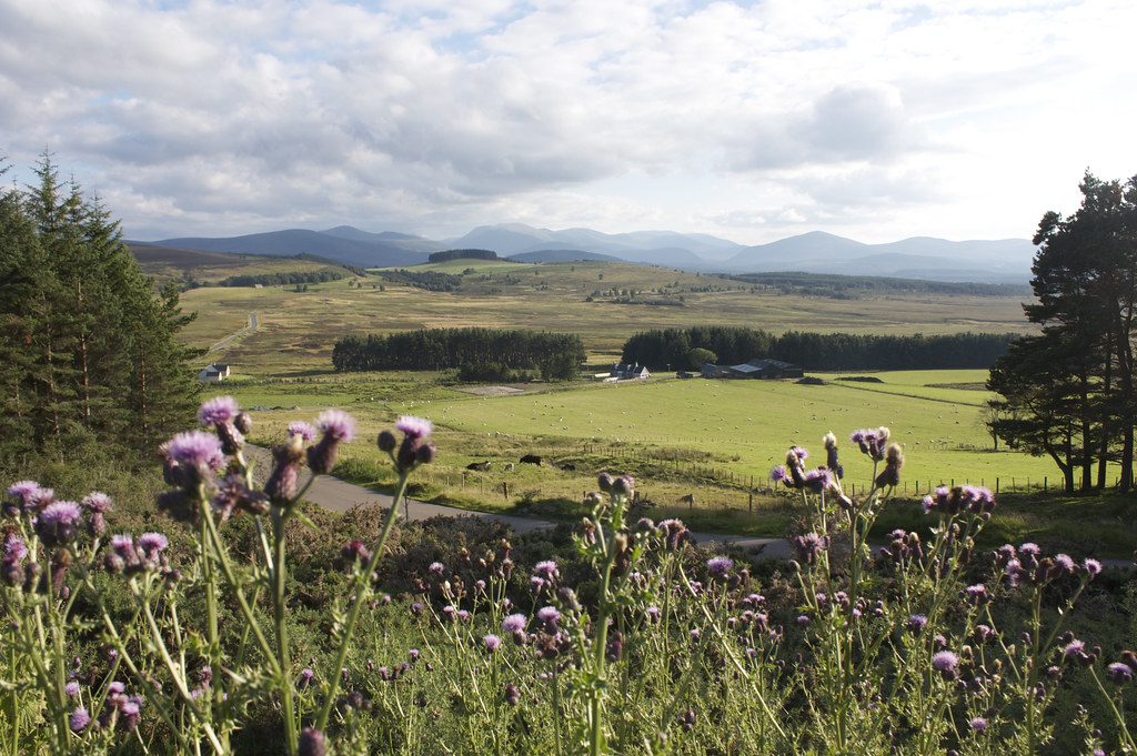
After a quick change out of my boots and a phone call home I was heading back, stopping briefly by Loch Morlich to get the view of the mountains that had been cloud covered earlier in the day. I stopped once more above Abernethy to get a final photo and then made the long drive back across the mountains to Aberdeen.
