Date: 23rd March 2012
Distance: 19.49km
Ascent: 1,174m
Time: 4hrs 55min
Hills: Carn a' Chlamain (Munro, 963m)
Weather: Mild, light breeze, some high cloud and haze
Route: Click to view on OS Map
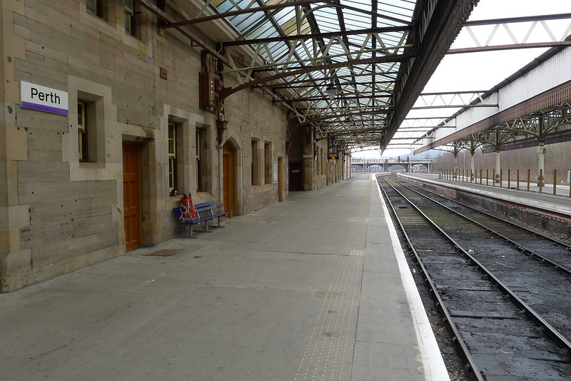
After a week of glorious sunshine in Aberdeen I pulled back the curtains to find it was a grey Friday morning. I guess this is what happens when you book a day off work in order to head to the hills! Thankfully by the time I was heading down to the station, the heavier camping pack on my back, the sun was out and it was a glorious morning; an auspicious start. Train ticket purchased I was soon sitting on the relatively quiet 09:34 service to Glasgow Queen Street. Initially the weather and views were glorious, the sun shimmering off the North Sea, and the fields freshly ploughed and ready to show spring shoots. However, from around Arbroath the cloud built up and it was grey and a little gloomy by the time I got off the train at Perth.

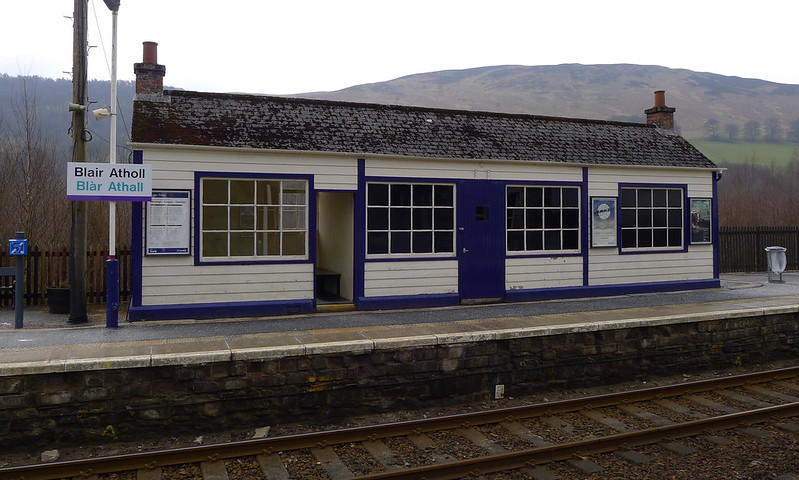
After purchasing some lunch I had a half hour or so wait for my connection, joining the Highland Main Line and a train that felt distinctly touristier. Forty minutes later I was one of only two passengers who alighted at Blair Atholl. The other guy had a huge pack on, and after sitting reading the paper for a few minutes, he set off towards the village. I meanwhile crossed the tracks and then spent a couple of minutes sorting my pack, taking a ceremonial starting picture (of Blair Atholl station), and then headed off.

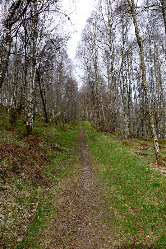
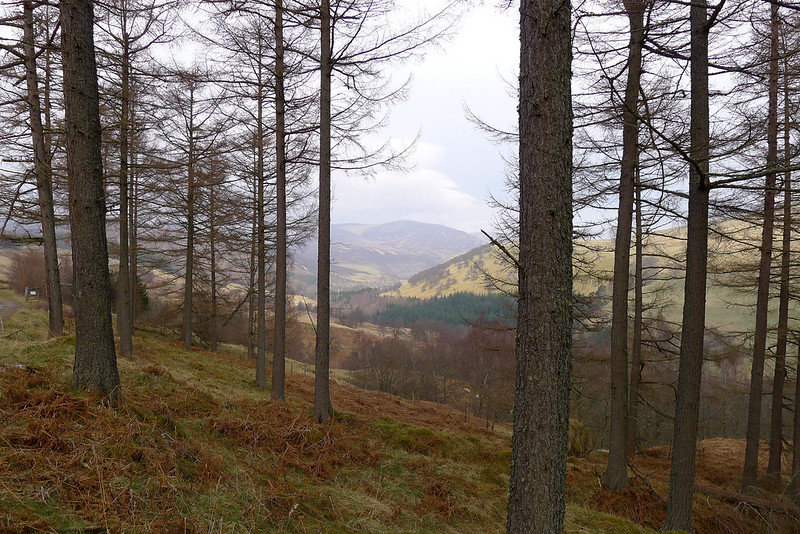
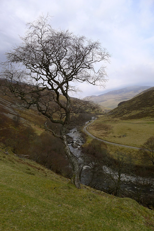
It was with a mixture of excitement, relief and trepidation that I started the walk. A strange feeling to think I was now out here and on my own, with almost three full days of walking ahead. There was really nothing left to get on with it though and so I quickly threaded my way along the Atholl estate roads to the Old Bridge of Tilt, spotting a couple of eagles wheeling over the fields. From the car park I started to pick up smaller footpaths which take you on a dramatic route above the tumbling gorge of the lower Tilt river. Eventually I was deposited back on a vehicle track and then the walking was very easy and pleasant for a while. The woods were still a little drab but birds were singing and the first signs of a green spring could be seen slowly emerging. Around a corner in the track (and after avoiding the Post Office truck) I got my first view of the bigger hills rising above the upper reaches of the glen.
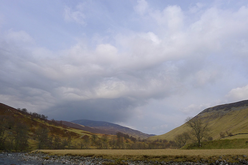
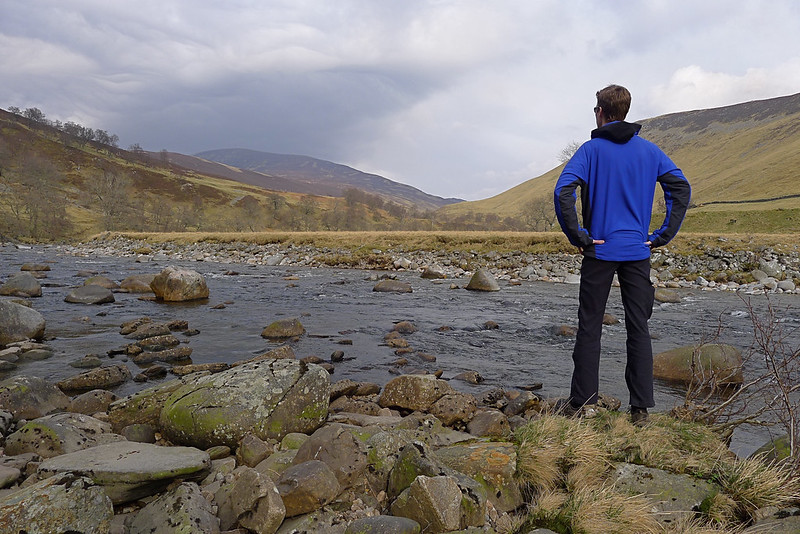
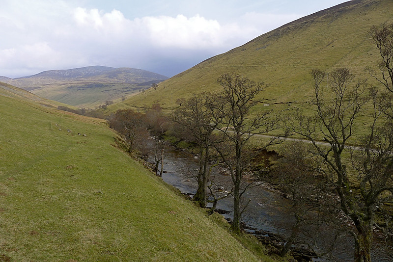
After successfully crossing the silent rifle range I dropped down to the river near Gilbert’s Bridge and followed the river bank for a while, pausing briefly at the bend near Auchgobhal to take in the view up to the southern flanks of Carn a’ Chlamain, and further east the bulk of Beinn a’ Ghlo.
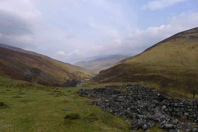
After crossing the narrow stone bridge that spans the Allt Mhairc I took a brief detour up to a ruined shieling with great views out over Glen Tilt. You could continue on the track here to get straight up on to the Corbett where I was to camp that night.
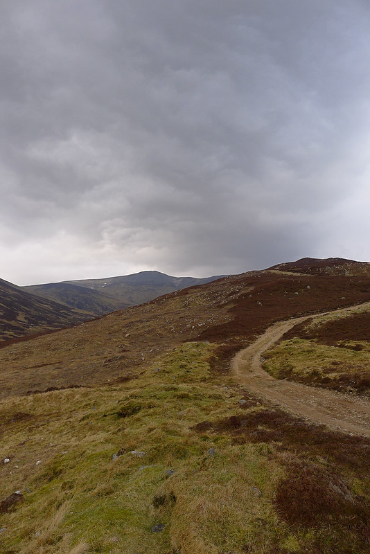
I had a Munro to bag though so continued further on up the Tilt, passing Marble Lodge and then starting to climb up after the bridge over the Allt Crominidh. A footpath quickly ascends the steep hillside, the views rapidly opening up, until it joins with the vehicle track that comes up from Clachglas.
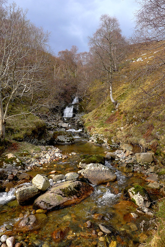
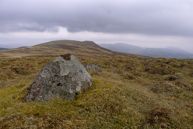
This long spur is then followed all the way up to the summit of Carn a’ Chlamain. As I climbed, the views of the mountain became more dramatic and occasionally footpaths could be used to cut out corners in the winding vehicle track. I came across marshy areas where frogs were in the process of creating frogspawn, and eventually found a bubbling spring where I refilled my bottle with deliciously clear and cold water.
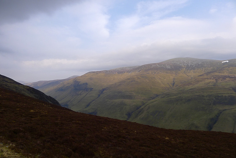
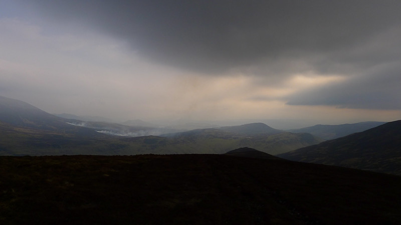
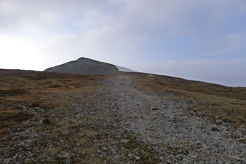
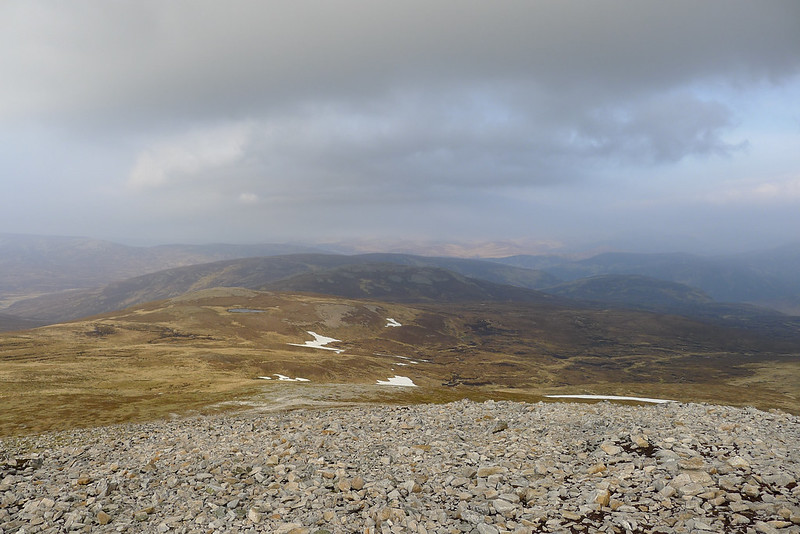
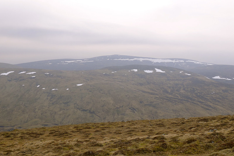
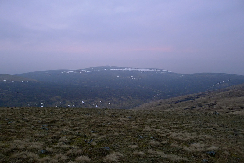
The views around me were hazy and it looked like a band of showers were passing the hills nearer Loch Tay. Briefly the summits of Beinn a’ Ghlo were shrouded in thin cloud. It was perfect walking weather though with just enough of a breeze to keep me cool and fabulous views of the surrounding hills. The grey, scree slopes of the summit cone of Carn a’ Chlamain now presented themselves, along with a strong and blustery wind. In no time I was up on the summit; my first new Munro since November 2011 and the first time above the magic 3,000 feet since New Year. It was a great feeling, especially as I had the hills completely to myself.
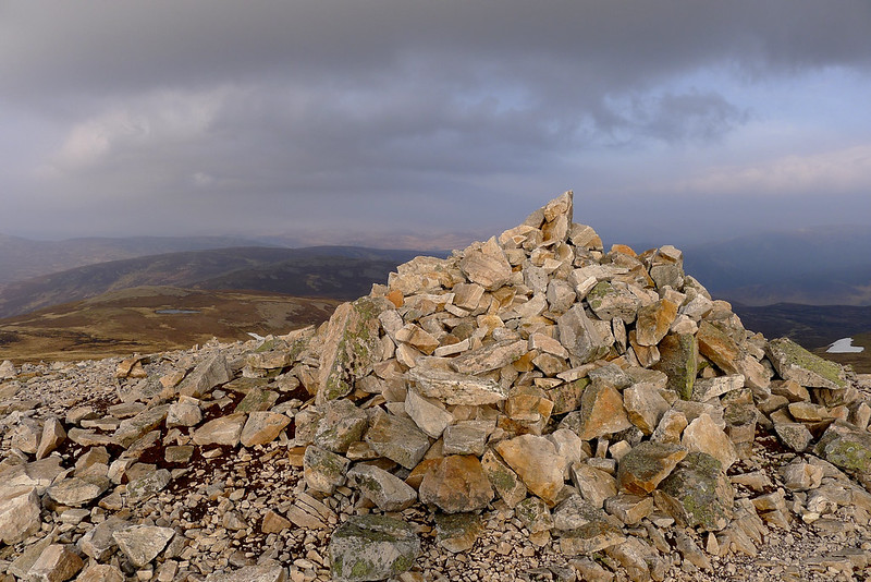
The stony summit was very cold and blowy so after taking in the views I hunkered down behind the cairn to send some text messages and eat a few snacks. It was now around four-thirty and my aim was to be pitching the tent by five-thirty. I could see my intended pitch in the distance but there was still some way to go so I started moving.
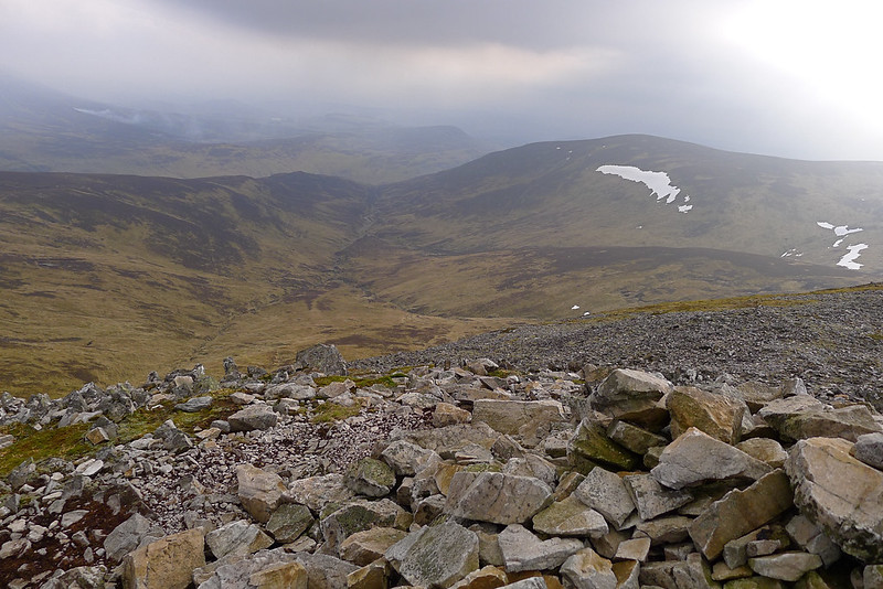
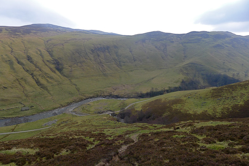
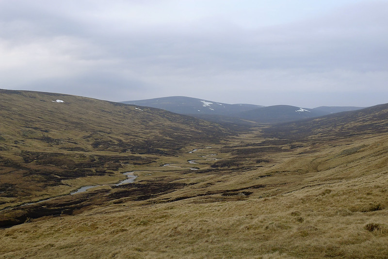
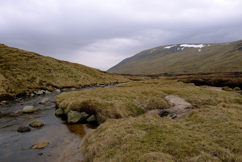
First it was an easy crossing of the mossy plateau west of the Munro summit to reach the top of Aonach na Cloiche Moire, and then a steep descent into the glen containing the winding Feith an Lochain which drops down from the lonely Loch Mairg. With springy grass and running water I was almost tempted to stop here but the thought of a high camp drew me forward. The two hundred metres or so of re-ascent weren’t bad in the end, and although I had filled my water reservoir up in the glen, I came across a clear stream running down from the bealach where I filled up again. This area was alive with yet more frisky frogs.
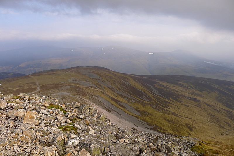
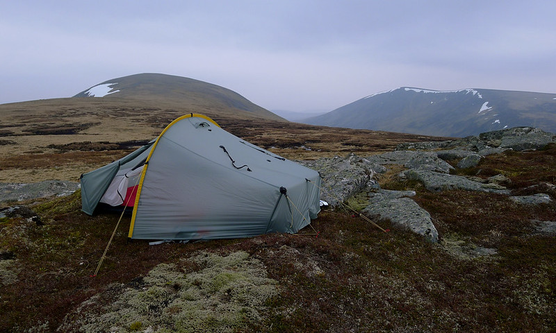
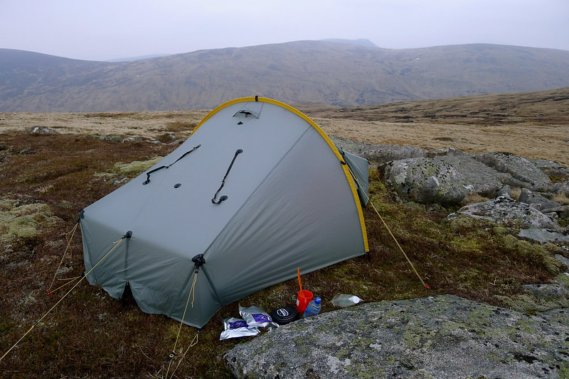
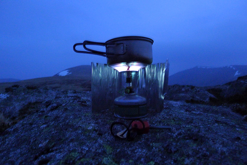
As I came out onto the plateau I spied a grouping of rocks below the final rise to Carn a' Chiaraidh, the northern top of Beinn Mheadhonach, and it was here I found an excellent, flat shelf to camp on, the ground springy with moss. The wind had died down by now which made getting the tent up hassle free and soon I had everything sorted. The decision to stop with daylight still was good and before settling in for dinner I decided to go and bag the summit of the Corbett.
**Date: 23rd March 2012
Distance: 4.46km
Ascent: 100m
Time: 43min
Hills: Beinn Mheadhonach (Corbett, 901m)
Weather: Mild, light breeze, increasingly cloudy
Route: Click to view on OS Map**
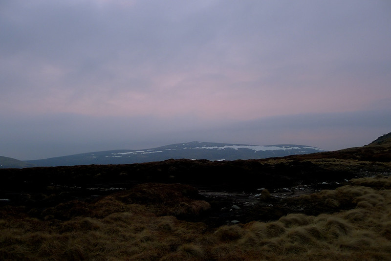
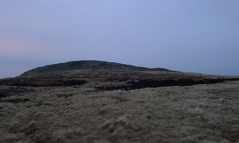
Looking at the map this lay just south of me, probably a kilometre or so away and with barely 30 metres of ascent to worry about. The twilight was creeping up and the sky had clouded over quite thickly so it was quite gloomy as I made my way up. I was soon at the summit but then looking south there was a second top that looked slightly higher. I continued on to this one, only to find yet another further top that again seemed higher. By this time the faint pink of sunset which had briefly appeared over Beinn Dearg had faded from the sky and I was left in the misty gloaming. The third top proved to be the final one with the mountain dropping off quickly towards Glen Tilt. I took a few photos and then made my way back to the tent. I think the fading light had emphasised the illusion of height as the OS clearly mark the very first top as the spot height!
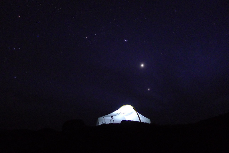
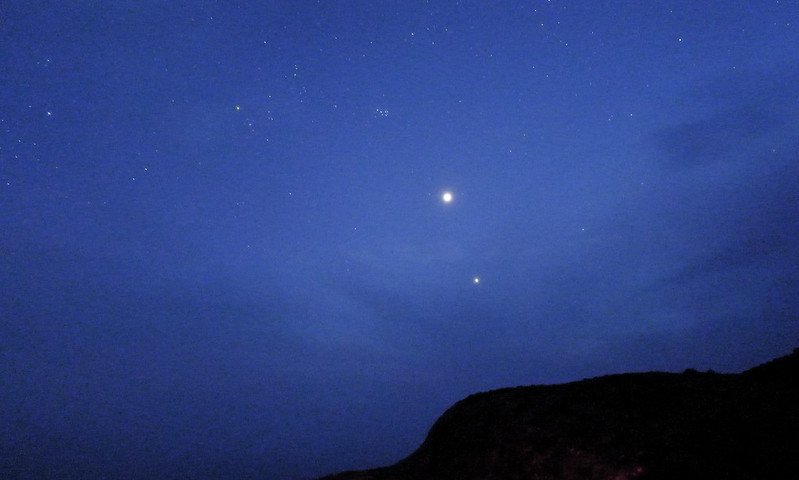
It was then time for a supper of lamb stew and pearl barley (a favourite of mine), eaten on a crag looking out on a misty world. The thick cloud allowed a few breaks and at one point I glimpsed Venus before it all closed in again. I retired to the tent to read for a while (Lustrum by Robert Harris, recently downloaded to my Kindle). When I poked my head out again a couple of hours later night had fallen and, amazingly, the sky had largely cleared to reveal a stunning star filled cosmic dome. I spent a long time star gazing, taking a few photos and preparing for the night before eventually snuggling down into my cosy sleeping bag.
With one Munro and one Corbett climbed, it had been a great start to the traverse and now I was ready for the big push across the Atholl Forest and Tarf hills.