A look at my coast-to-coast route across Scotland planned for May 2013
The TGO Challenge was first held in 1980 (the brain-child of Hamish Brown) and is now one of the largest annual organised backpacking events in the world. Come the middle of May around 300 folk will set off to cross Scotland from west to east by whatever route they choose over the course of around two weeks.
I originally applied back in October but didn’t receive a confirmed place. I was put on the standby list and happily gained a place on this year’s Challenge at the beginning of March.
Just a few weeks later and I now have an approved route for this year’s Challenge. My route has been checked over by a veteran of the Challenge and given the green light. Happily my vetter was very positive about my submission, saying:
I am pleased to say that, apart from a couple of minor queries, your route appears to be very well thought out, very well presented and with generally safe and practical FWAs
Those minor queries have now been addressed and what follows is a brief overview of my route eastward through the Highlands of Scotland. You can view the route (and my proposed Foul Weather Alternative (FWA)) over on Social Hiking.
Click here to view my main route on OS mapping.
Click here to view my FWA on OS mapping.
Stage 1 - Plockton to Fort Augustus (5 days)

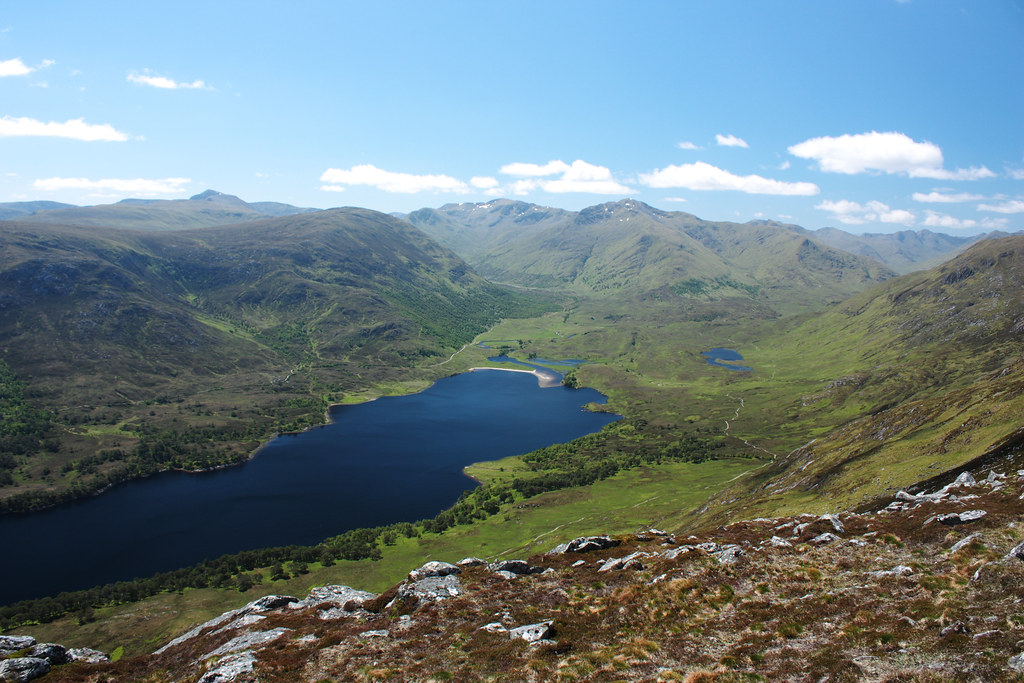
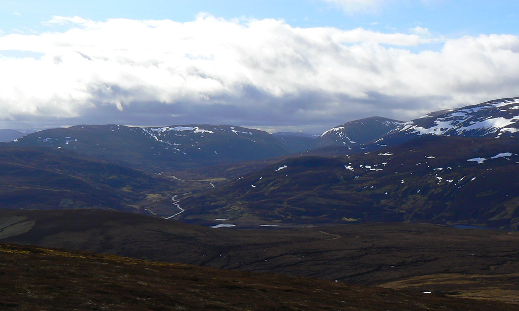
After crossing Scotland from east to west on the train and fueling up with a pub lunch at the Plockton Hotel I’ll set off from the picturesque west coast village heading eastward. The first day is a lowish route along tracks and paths and over some open, boggy ground to reach the River Ling for my first wild camp of the trip. This leads on to what should be a glorious day crossing the two Corbetts that rise above Killilan before dropping down to the end of Loch Mullardoch for a second wild camp.
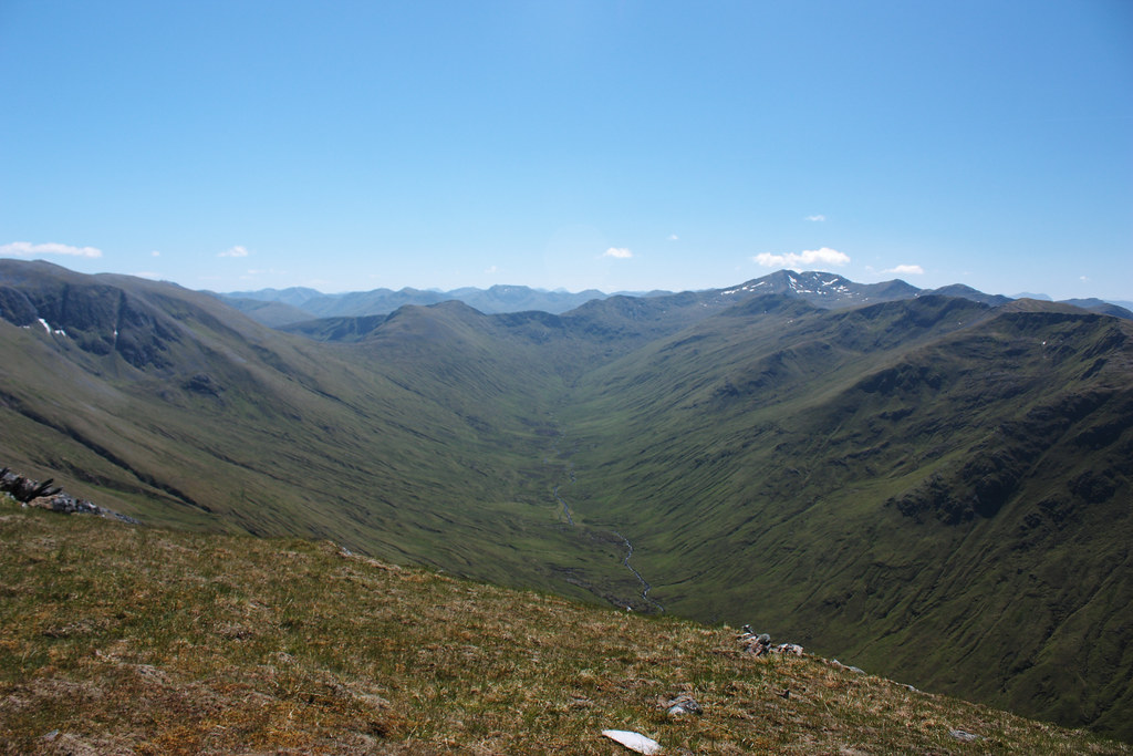
Day three should be another great day with the high hills of western Glen Affric on the agenda. After a trio of Munros, including Sgurr nan Ceathreamhnan, I’ll drop into Affric for a wild camp amongst stunning scenery. This then leads me to the Clunie Horseshoe on the fourth day with more Munro opportunities until I drop off the east end of the ridge and into Glen Doe. From a wild camp by the River Doe it should now be a fairly easy walk on the fifth day to take me east into Fort Augustus where I have a B&B booked for a night of R&R.
Stage 2 - Fort Augustus to Aviemore (3 days)

After a comfortable night in Fort Augustus I’ll set off into the Monadhliath Mountains stocked up with whatever delicacies I can find in the local grocery store. Many people choose to post themselves food to collect at campsites or hostels but I’m fairly sure I’ll survive well enough on store-bought couscous and pasta for a few days. Of course this food will be a bit bulkier and a bit heavier but the following stages are shorter so it shouldn’t be too much of a burden.

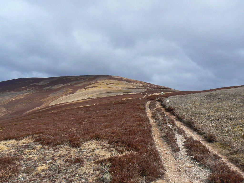
From Fort Augustus I now take a couple of nights to traverse the length of the high, rolling spine of the Monadhliath. Here there are a clutch of Munros and the odd Corbett to pick off but mainly it should be fabulous high level walking with very few paths going in my direction. My planned FWA takes me through the glens to the north and west that run through the heart of the range, but it is equally possible to drop down into Strathspey should conditions prove difficult.
On the third day I have a short run down into Aviemore where I have booked into the Youth Hostel and can restock on food (and beer).
Stage 3 - Aviemore to Ballater (3 days)

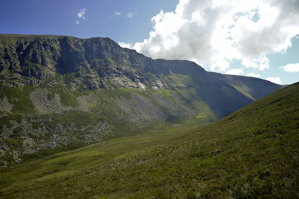
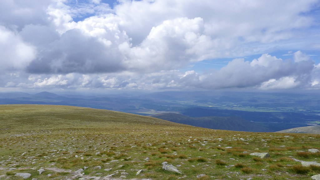
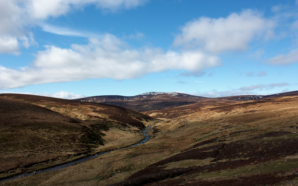
I now take a wandering route through the Cairngorms, first climbing up towards the Lairig Ghru before diverting off to climb Ben Macdui via Lurcher’s Crag. I then drop down to Glen Derry via Etchachan. On the second day I pass through Clas Fearnig, upper Glen Quoich and then head east along Glen Gairn to camp near Corndavon Lodge.
The third day takes me further along the Gairn before leaving the glen to traverse Geallaig and then drop into Ballater. After suitable refreshments and a restock I intend to cross the hills via the Mounth track and camp in upper Glen Tanar near the Mount Keen footbridge.
Stage 4 - Ballater to St Cyrus (3 days)

There now follows a couple of days of wandering the heathery hills of the Mounth, threading a path between bog and electric fence and crossing such iconic summits as the Hill of Cat, Tampie and Mount Battock.
A final camp on the hills above Edzell sets me up for a final tramp along minor roads to the east coast at St Cyrus.
The total is about 270 miles with plenty of height gain and some big days along the way. There are some familiar places and plenty of new mountains and glens to explore. Who knows what the weather will throw at the Challengers this year, but if it turns foul I have a lower route worked out that largely parallels the above. It will mean missing out on summits but hopefully (especially for the western hills) the sun will shine, winds will be light and I’ll spend many glorious up high. I’m really looking forward to setting off!