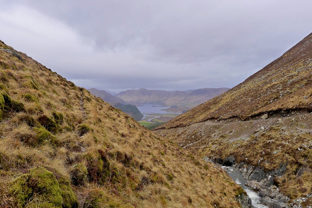
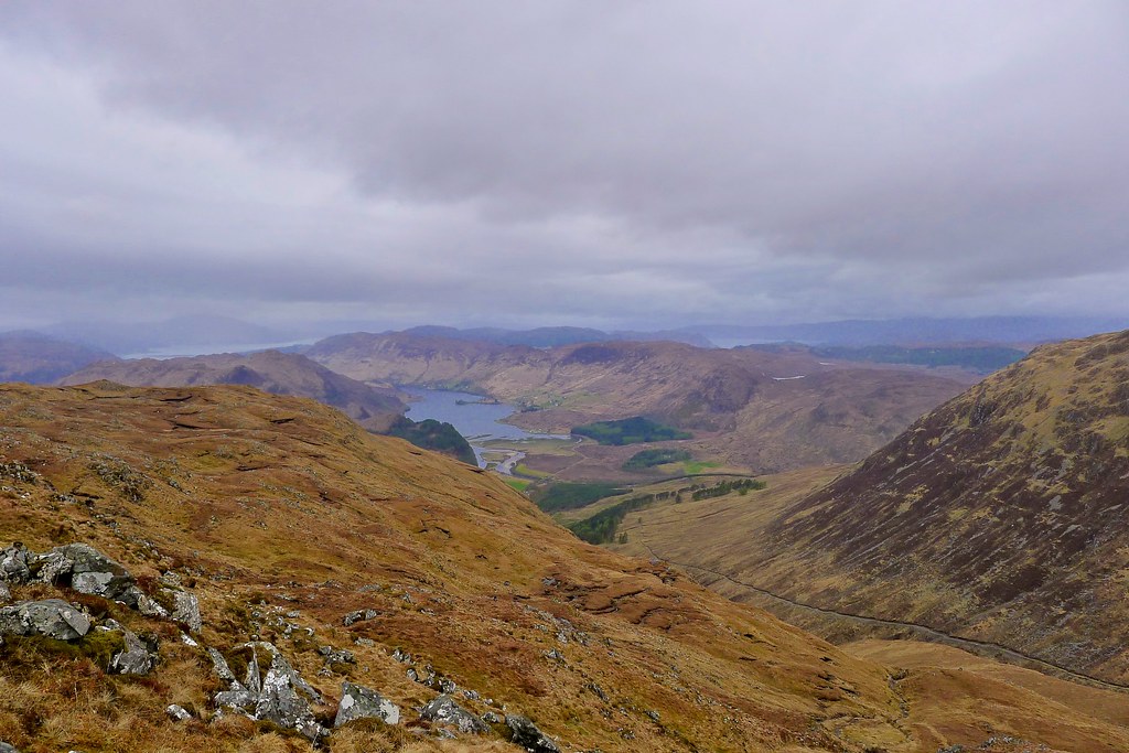
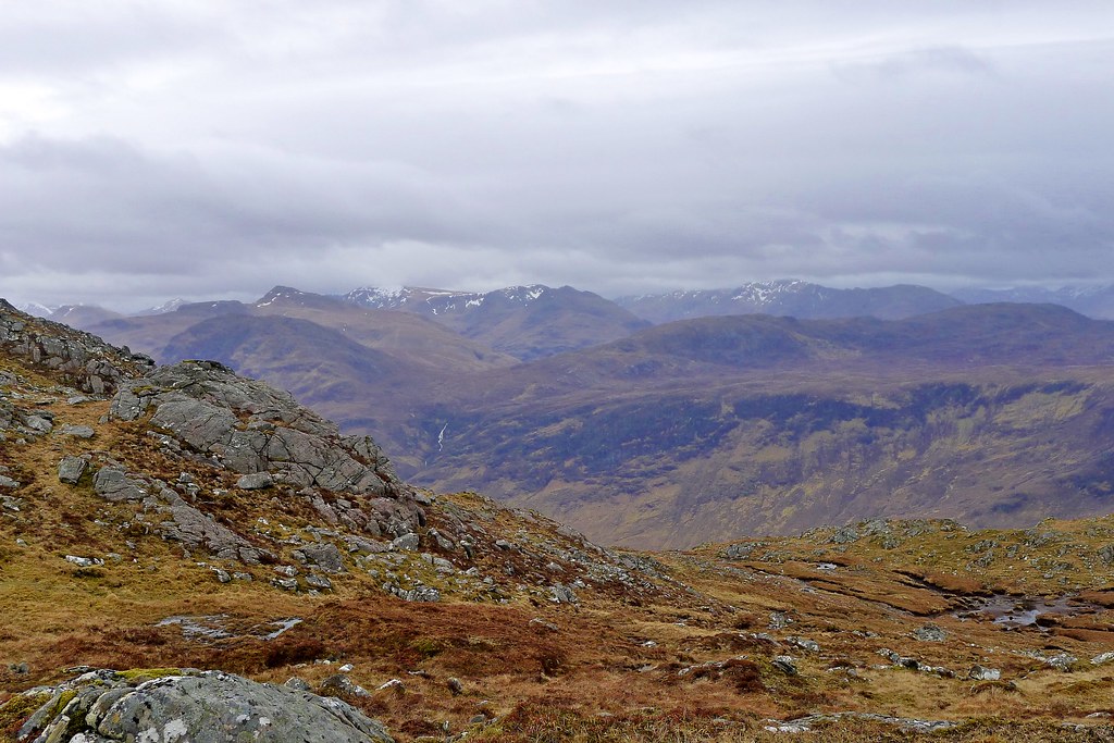
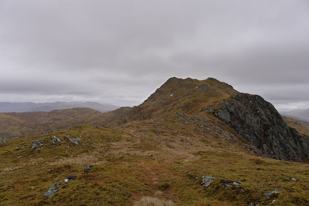
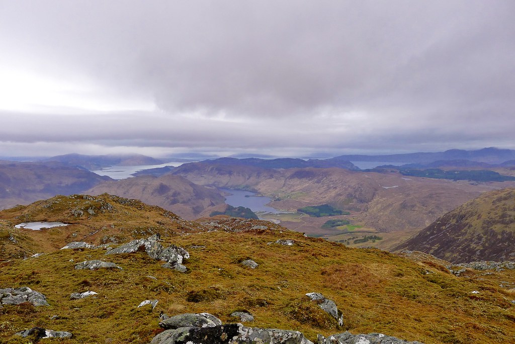
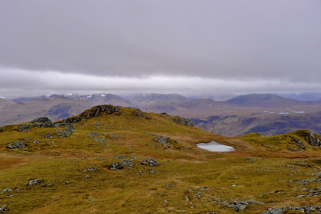
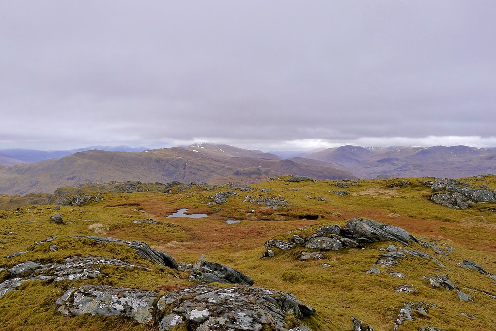
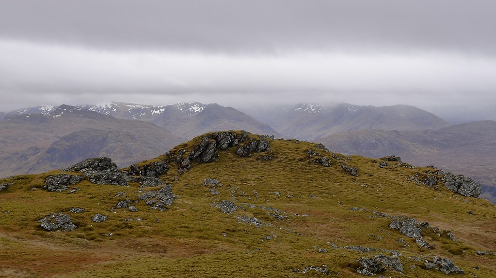
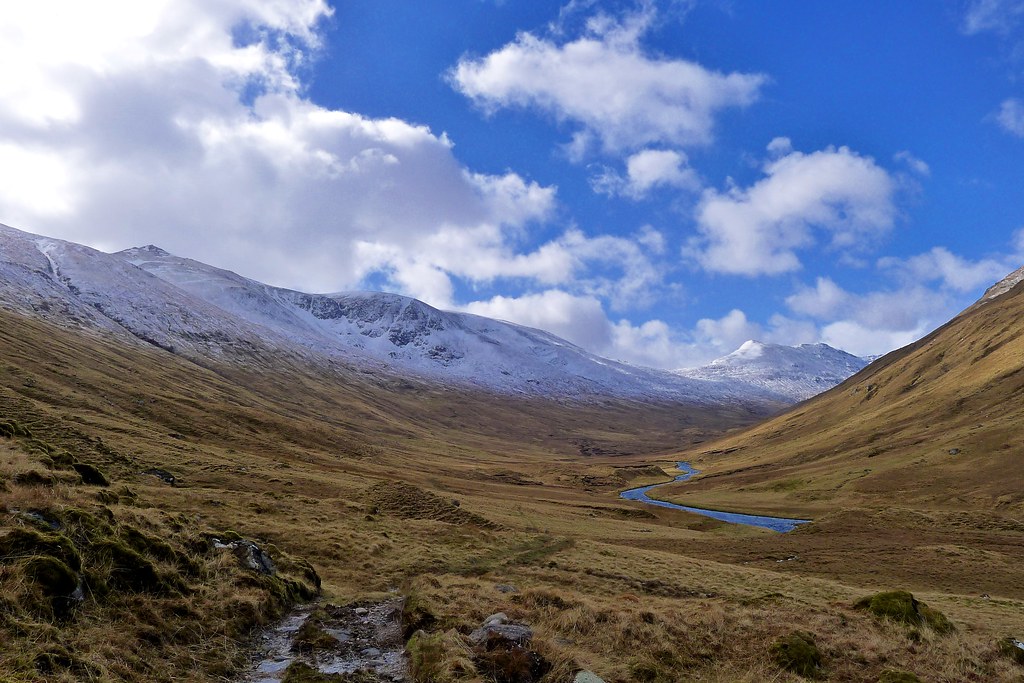
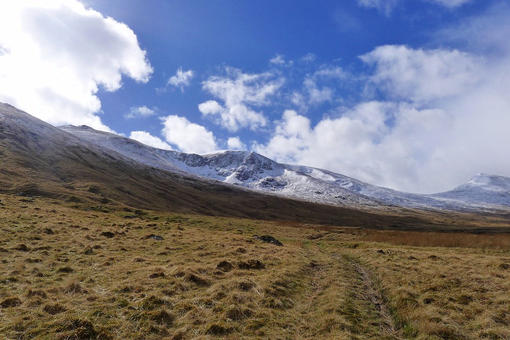
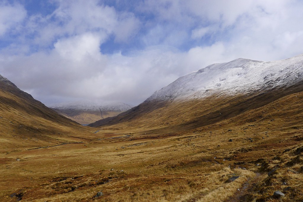
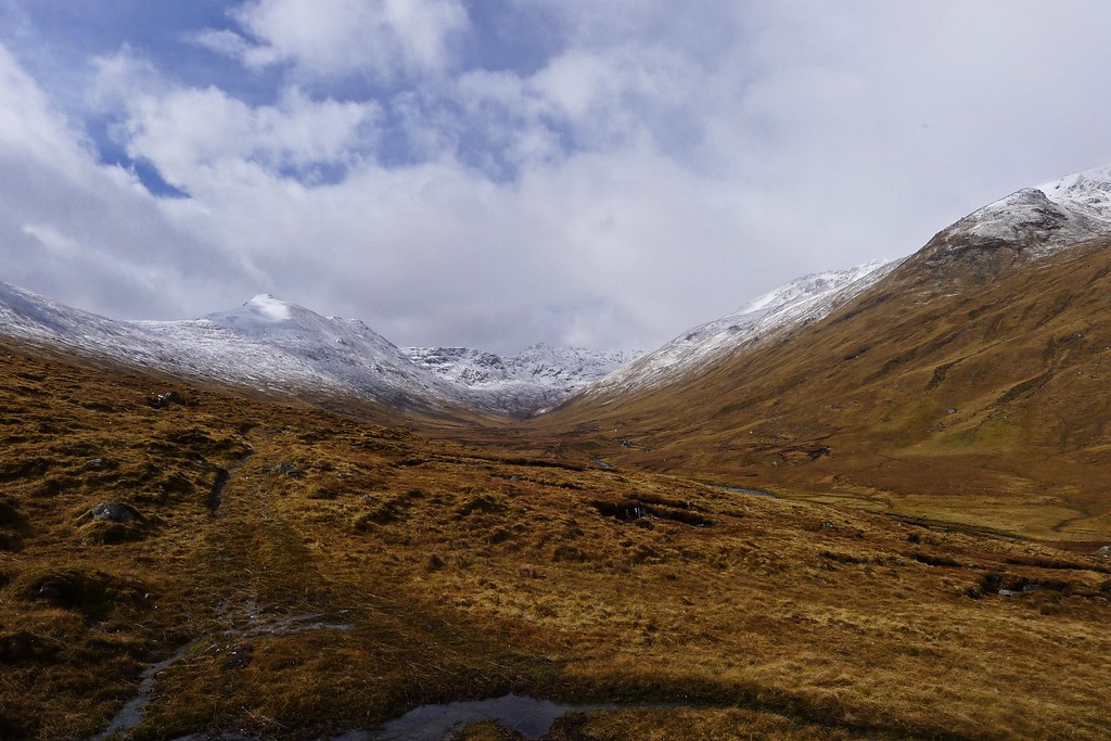
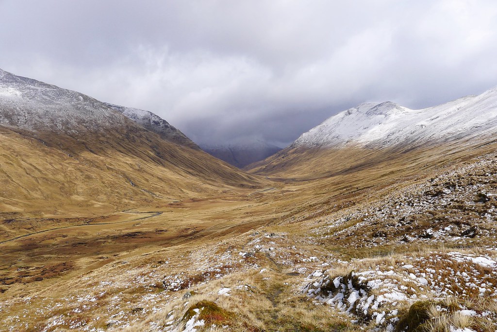
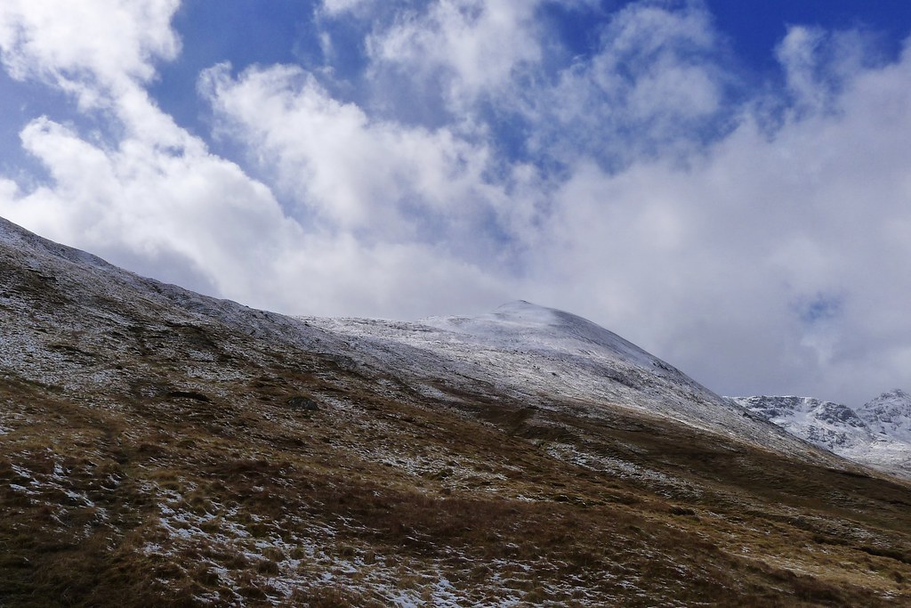
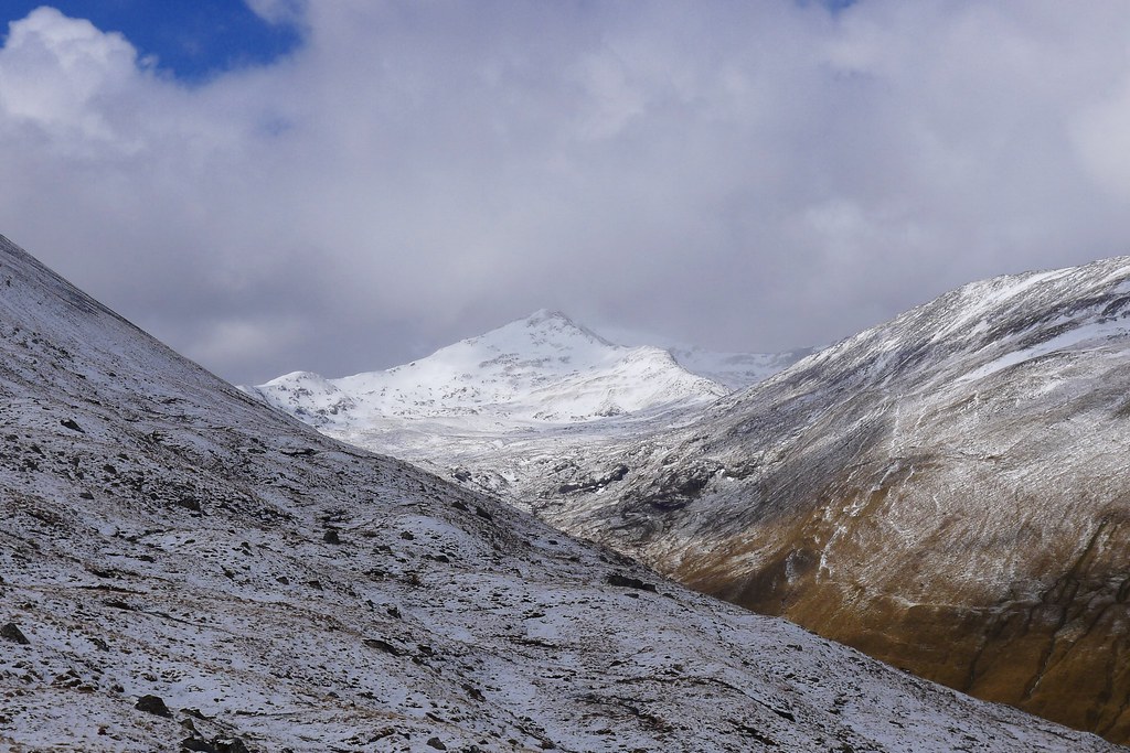
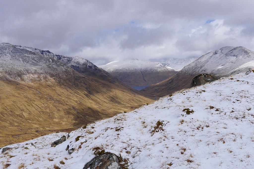
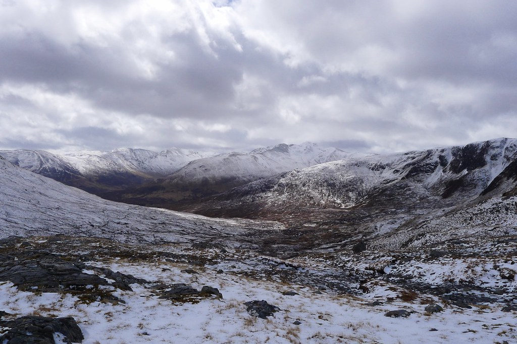
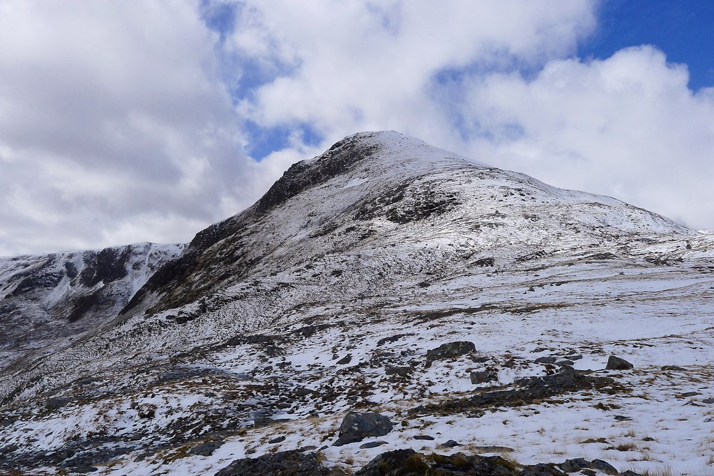
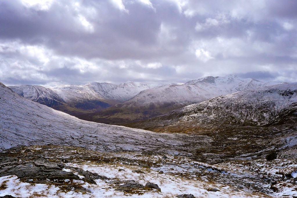
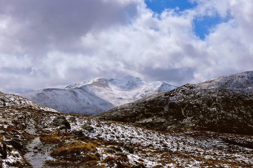
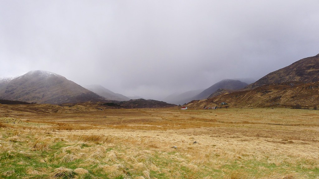
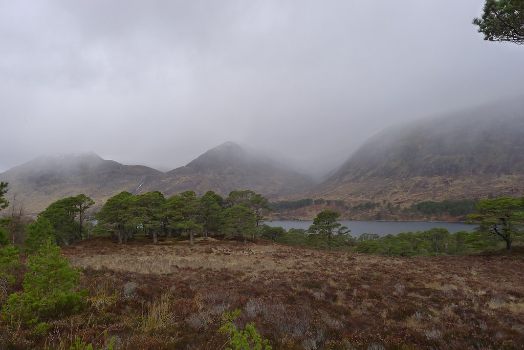
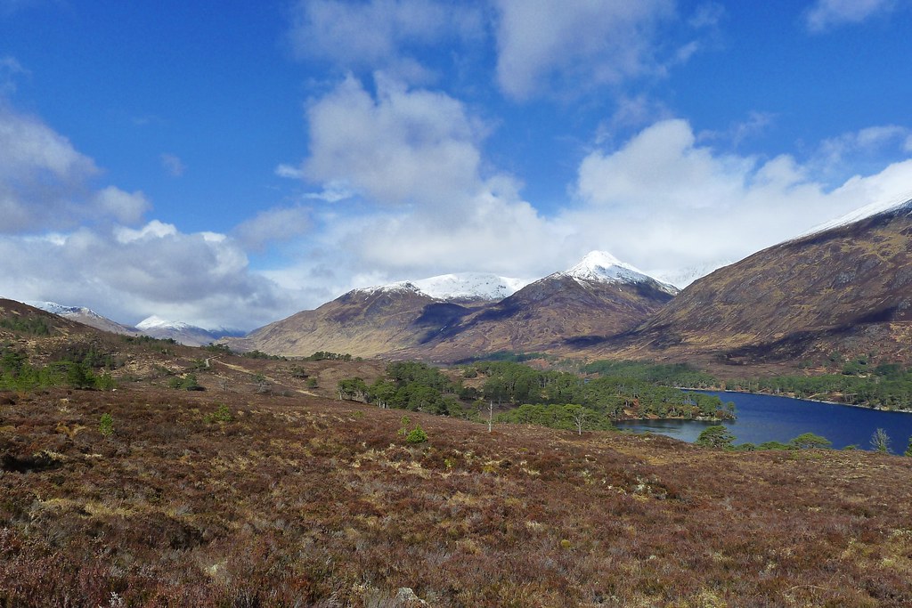
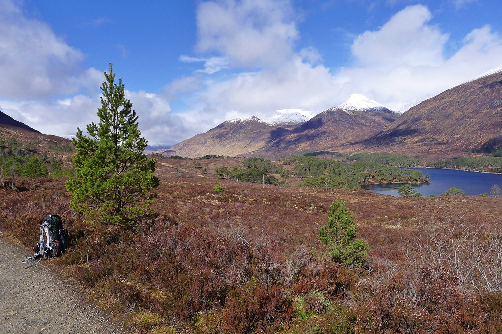
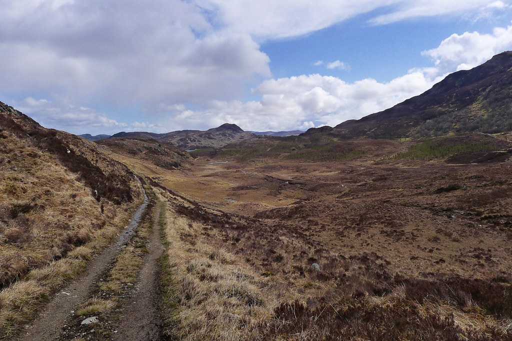
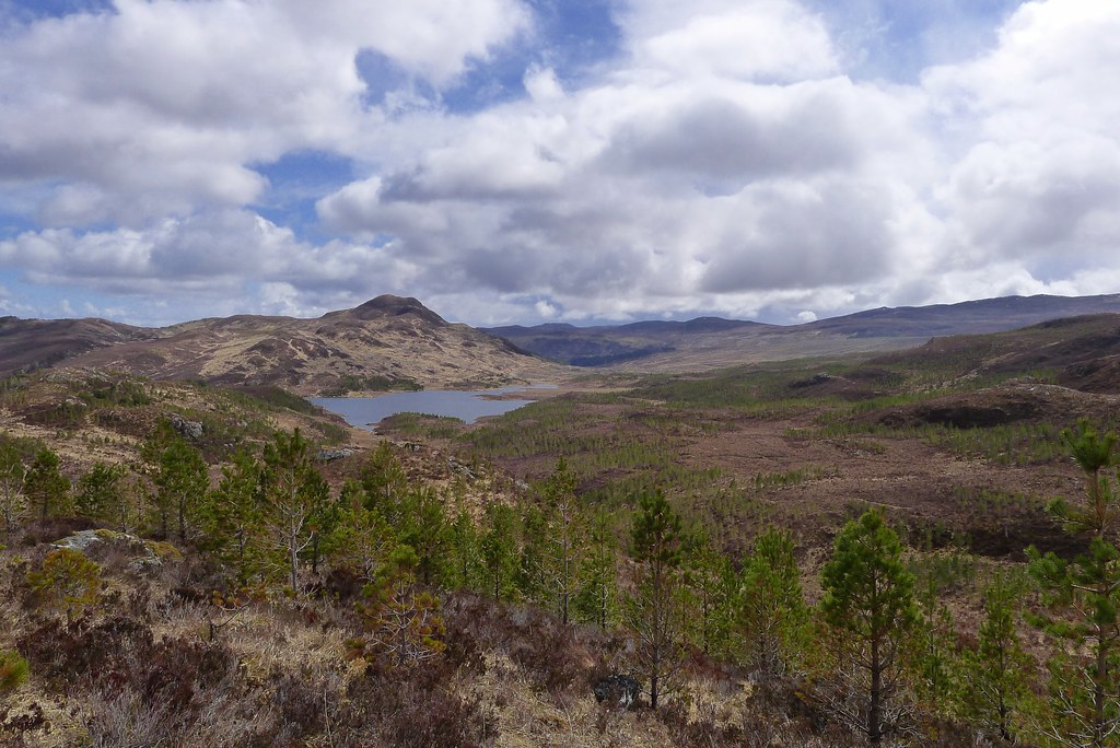
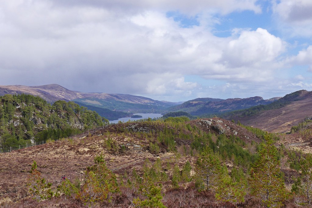
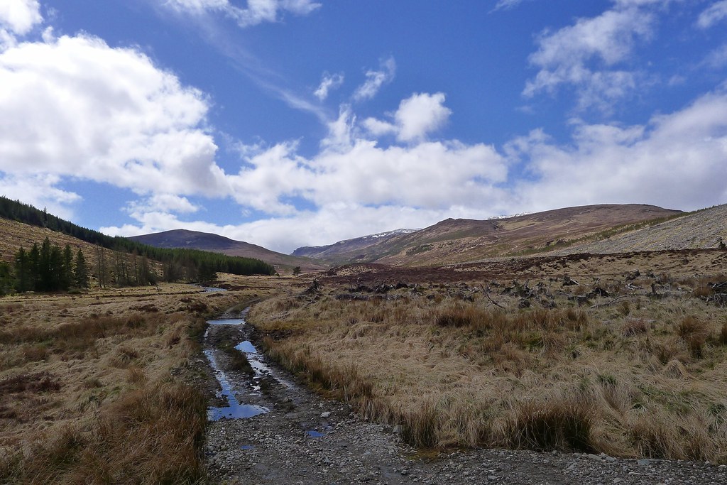
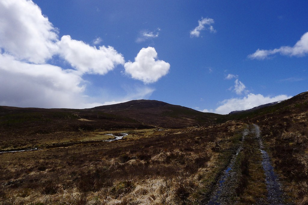
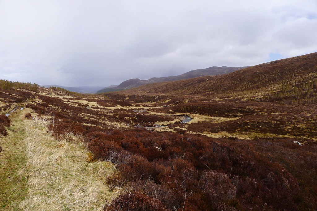
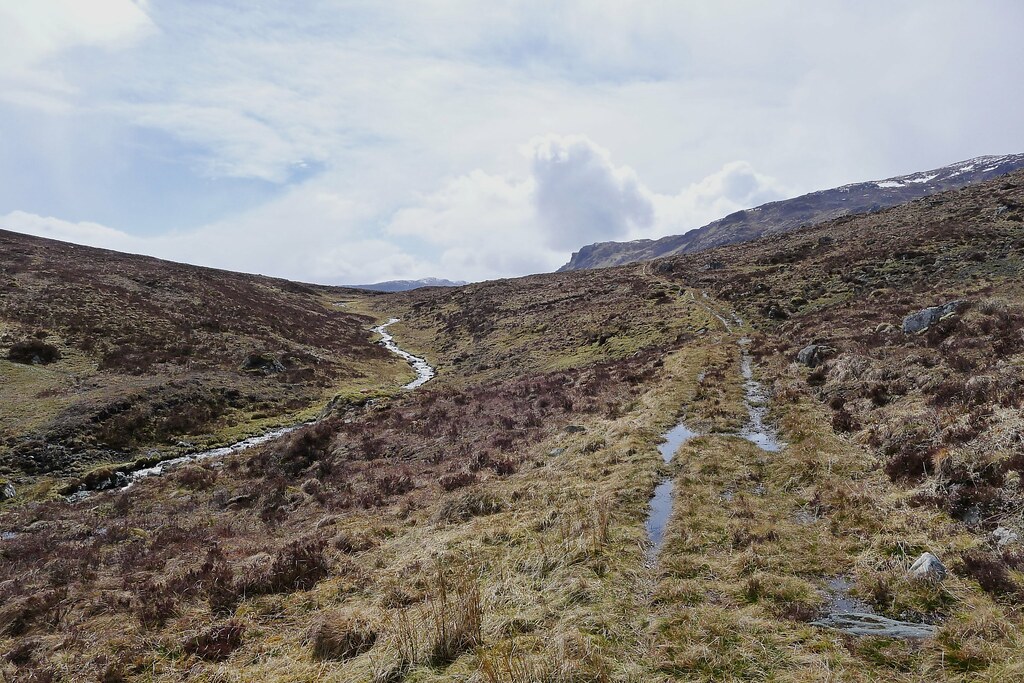
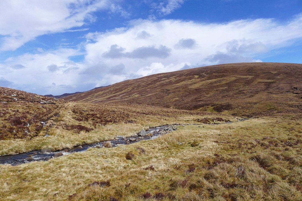
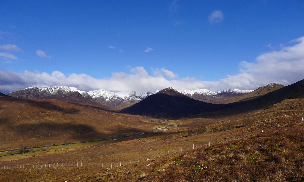
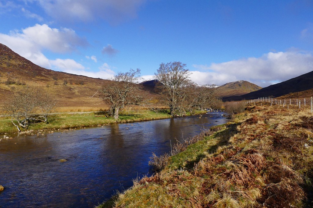
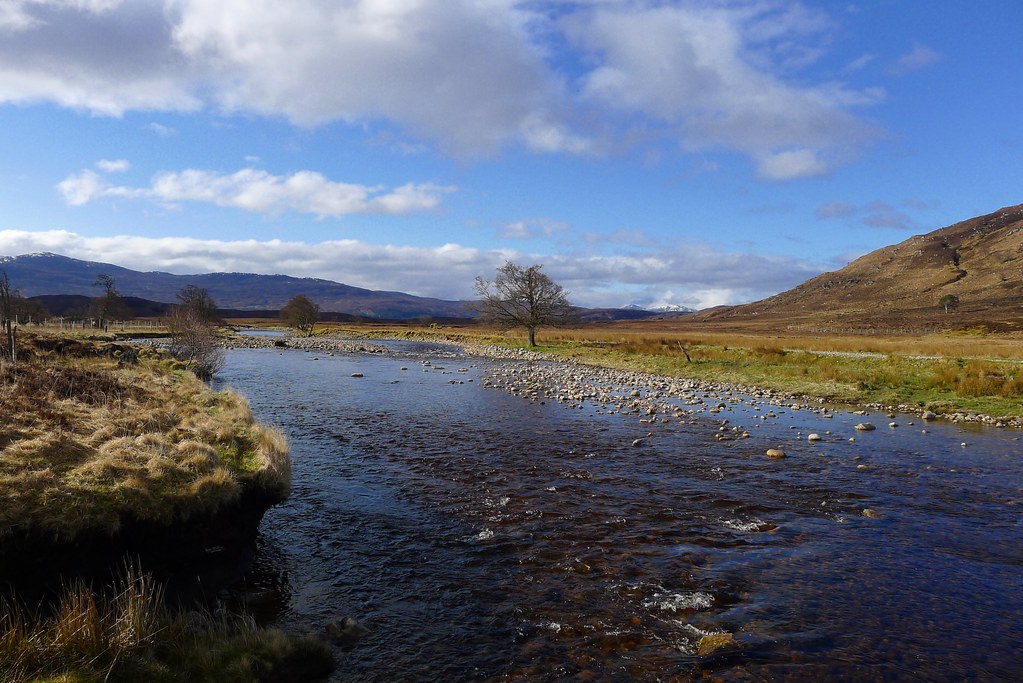
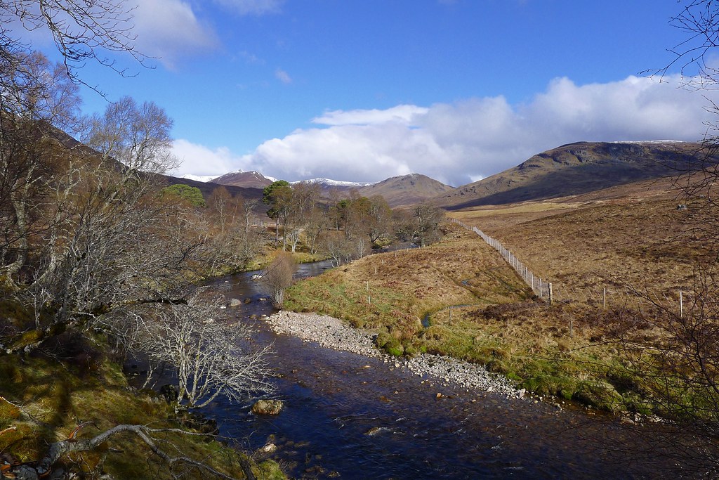
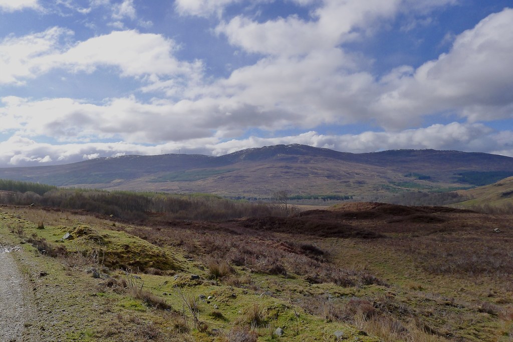
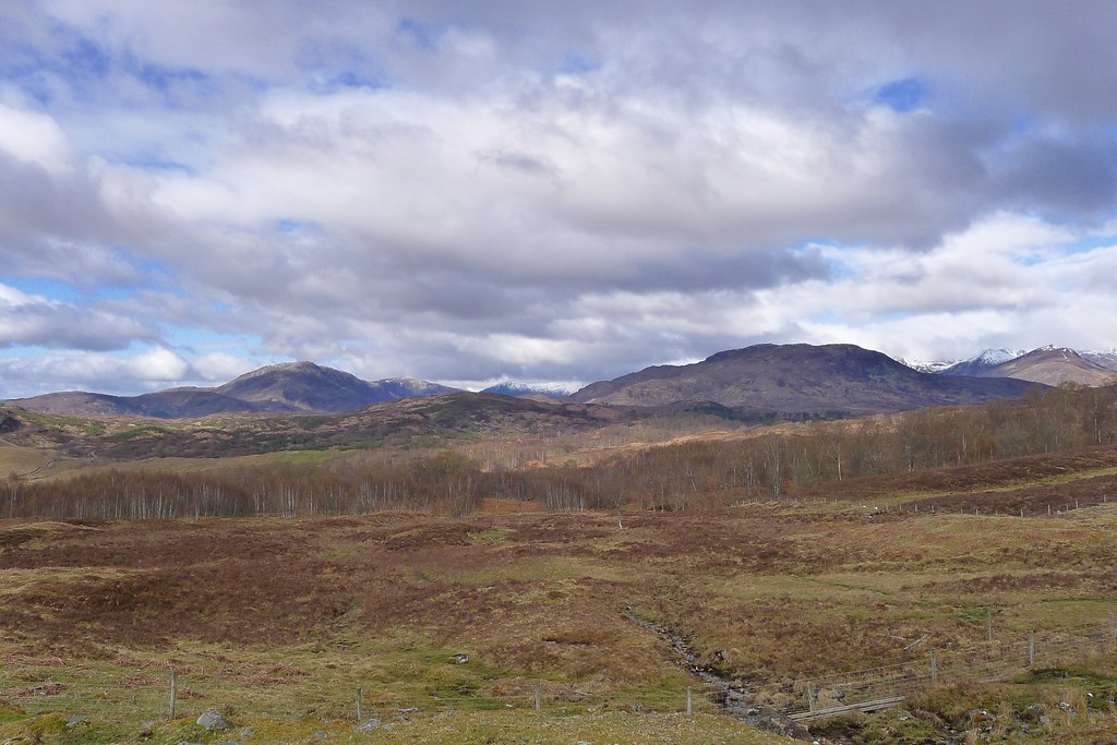
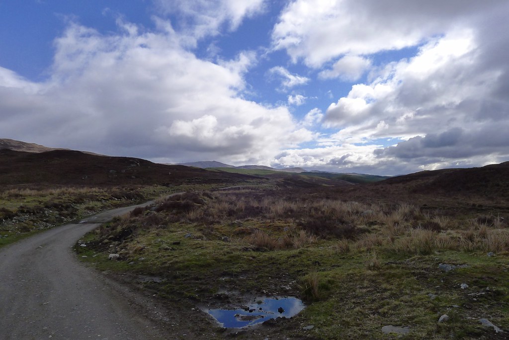
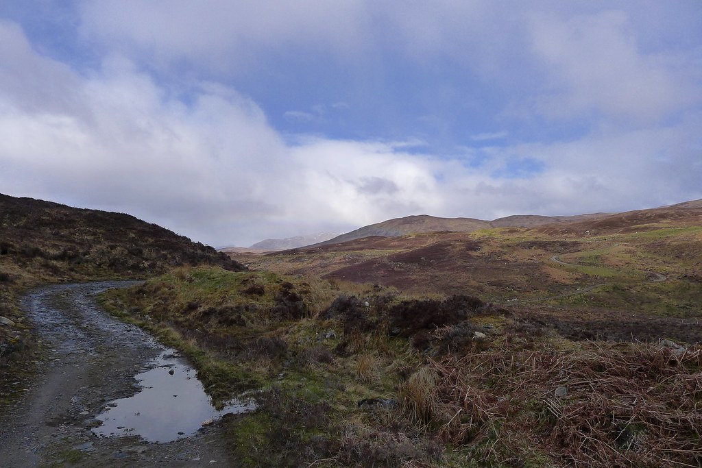
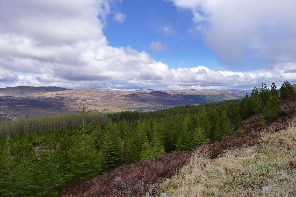
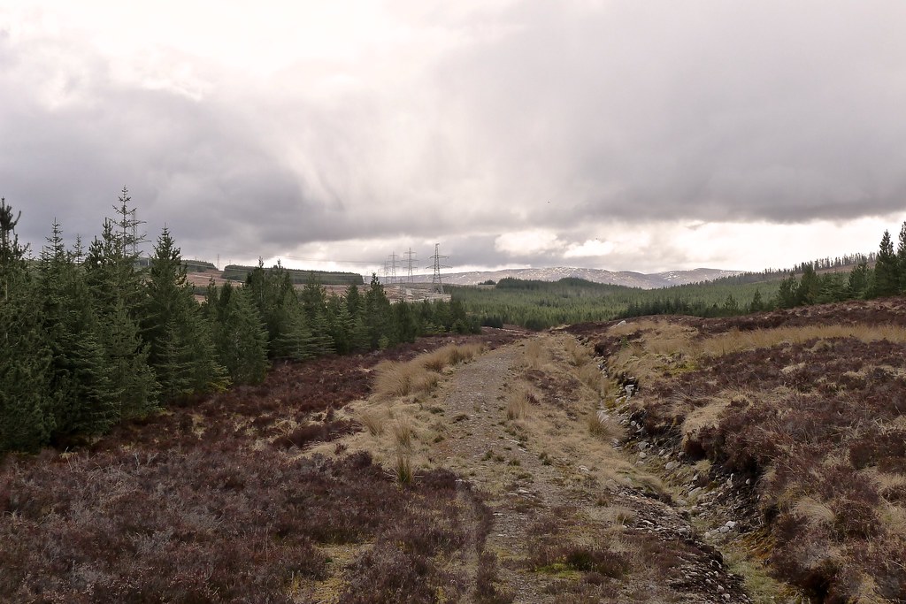
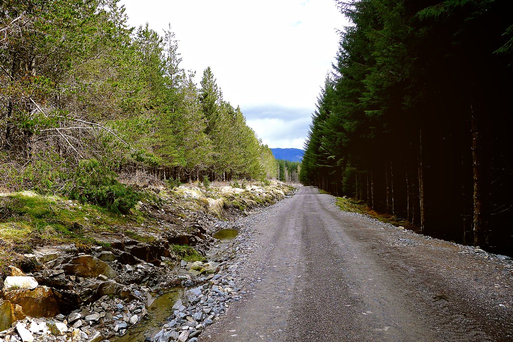
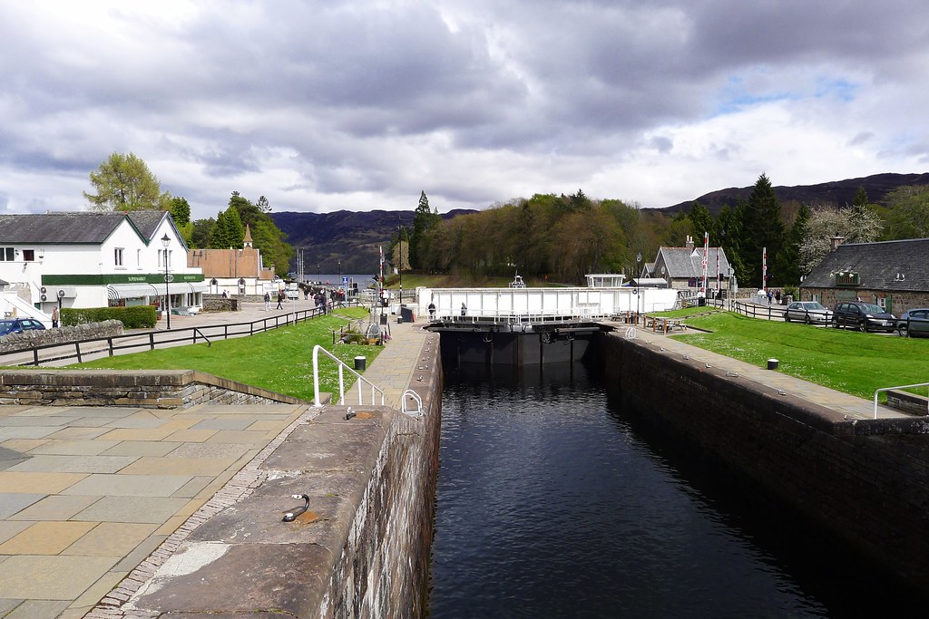
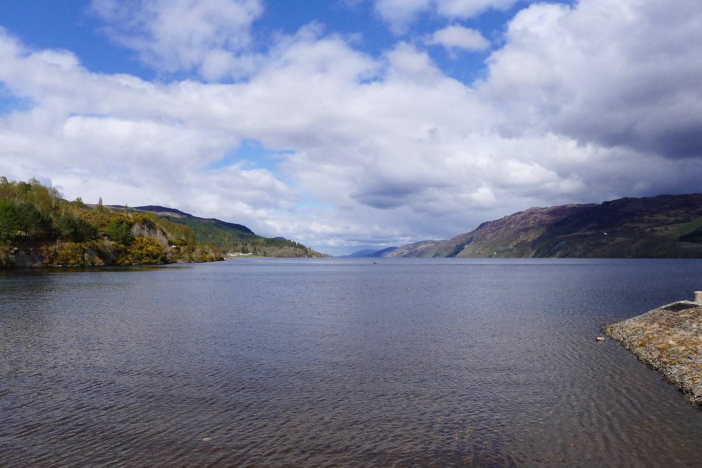
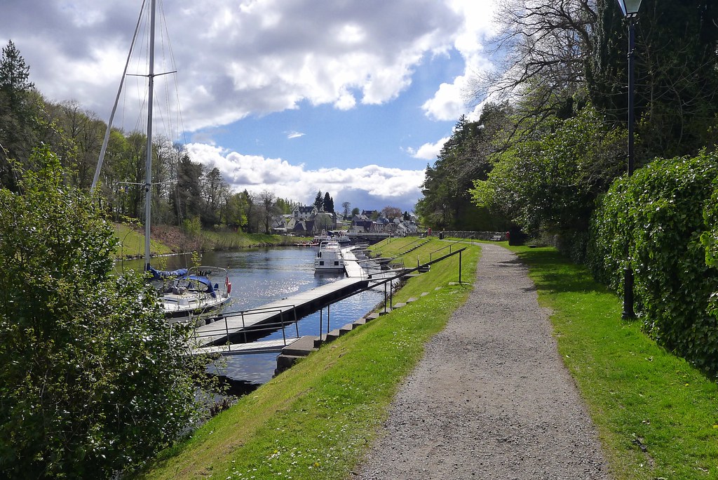
In May 2013 I backpacked across Scotland. This is part one of the trip report which covers the days from Plockton to Fort Augustus.
I suppose it all began last year when, one bright September afternoon, I crossed the sunny concourse of Aberdeen Railway Station and bought a copy of the October issue of TGO Magazine from the newsagents. There towards the back was an application form which I dutifully filled in, laying out my recent experiences of wild camping and hillwalking in Scotland. I mailed it off and sat back, waiting hopefully like so many others for the thud of a heavy brown envelope signalling good news. In the meantime I took my big map of Scotland and started sketching out a couple of possible routes. I was already starting to dream of May 2013 and setting out on the 34th TGO Challenge.
It was therefore somewhat of a disappointment that, coming back to my flat on a particularly dark and cold November evening, I found only a thin brown envelope waiting for me on the doormat. I hadn’t succeeded in gaining one of the 300 coveted places and instead had been placed on the standby list. The idea with this is that as people who have a place on the event have to drop out (for whatever reason), then people from the standby list graduate to the main event and the final participant number stays around 300. A quick e-mail to the Challenge co-ordinator, John Manning, confirmed that I was number 16 on the standby list. Apparently the list is a fickle thing with some years many people gaining a place, whereas in other years barely half a dozen people graduate. Being a little bit in no-mans land at 16 I put thoughts of the TGO Challenge on the back-burner and started planning some alternative trips for Spring, including an alternative to the Cape Wrath Trail which would take me north from Torridon through Fisherfield and then Assynt and Sutherland to wind up somewhere on the north coast.
It wasn’t until late February 2013 that I once again thought of the TGO Challenge. This time it was an e-mail from John Manning alerting me to the fact that I was now at number three on the stand-by list and that if I was still thinking of participating, I should start getting a route planned. All of a sudden dreams of the Far North vanished and I brushed off the digital dust from one of the routes I had sketched out back in October. As it was too late to get the first Friday off work I knew I would be starting on the Saturday and so an easily accessible start point was required. I love the village of Plockton and since it is easy to get to on the Kyle of Lochalsh railway line my choice was made. I now started fleshing out the route and transferring it onto the route sheet. John’s e-mail confirming my place came through on 1st March and just a few days later my route sheet was on its way to be vetted.
A nervous wait ensued but soon I had comments back from my vetter. There was no problem with my Main Route but I did have to tweak my Foul Weather Alternative in a couple of places to comply with the Challenge’s safety requirements (basically FWAs should avoid going over ground above 500m and should be easily navigable without difficult or complex terrain). This was quickly addressed and with my route now accepted I could now start pulling together gear, food and maps.
April turned into a very busy month and after squeezing in a last minute two night trip to Ardgour it was suddenly May and the week before the Challenge. There was a final flurry of purchases and then an evening spent dividing up food, packing and repacking the bag, and highlighting routes on various map print-outs. After a strange Friday where I used Social Hiking to watch other participants set off from their respective start points from my office desk I was all ready for departure.
Route
You can use the following map to explore my route which was mostly generated from beacons sent by my Spot messenger during the course of my Crossing. The green line shows my initial planned route whilst the orange line shows the actual course I took.
You can also view this map on Social Hiking.
Day 1, Saturday 11th May
Route: View on OS Maps
6:14am, Aberdeen Railway Station. At this point I’m pretty confident that I was about the most easterly Challenger. Happily the train left on time and in a carriage occupied by just one other person I drifted in and out of sleep as we rumbled along the line to Inverness. Nerves mixed with the very early start didn’t really dissipate until a large coffee and croissant in Inverness from where my train to Kyle of Lochalsh departed promptly at 9am. The entertainment on this leg was provided by a young lady on her way to Kyle for a birthday party whose mates were driving across the country and pausing occasionally by the side of the road to wave to her as we clickity-clacked passed in the train. Meanwhile I finished off Murakami’s Norwegian Wood and spent long stretches gazing out at the passing landscape.
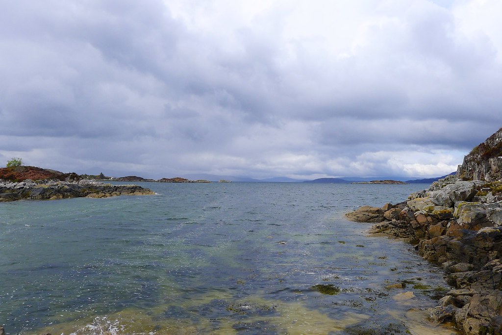
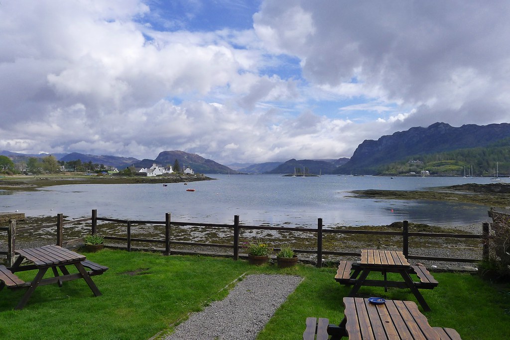
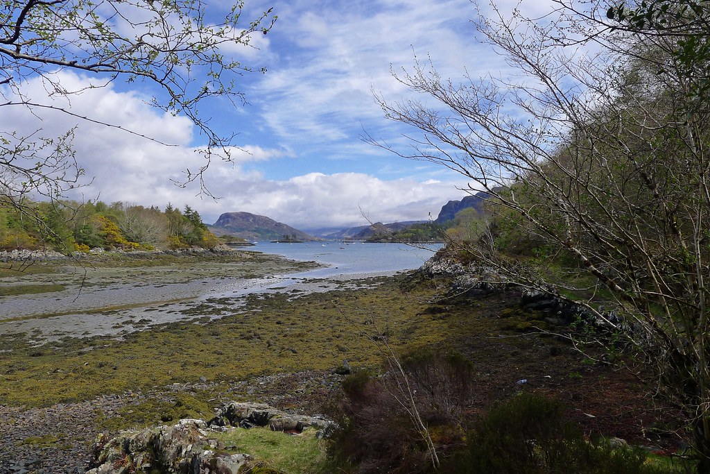
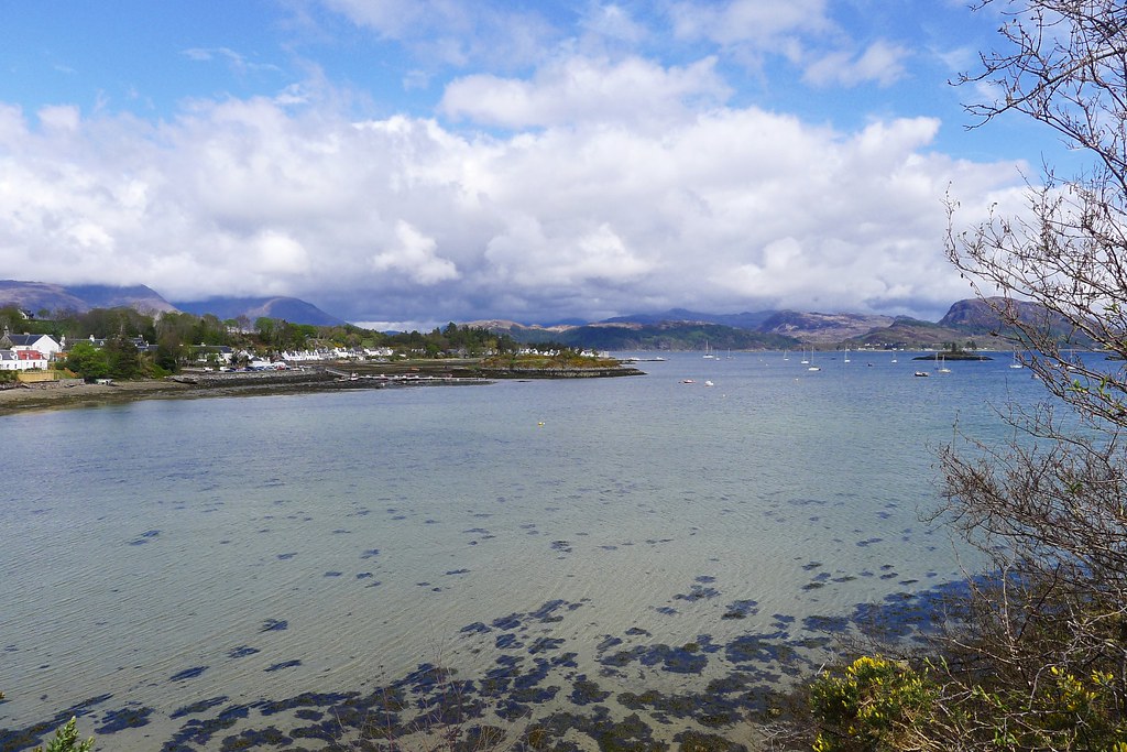
Soon the glorious west coast scenery was filling the train windows on either side and we pulled into Plockton where I was one of only two passengers to alight. Plockton is perhaps an unusual start point for a coast-to-coast in that it’s picturesque bay faces east. Because of this I felt that to truly start on the west coast I should seek out one of the beaches or bays that sits across the headland from the village, rather than dipping my toes in the waters of Plockton Harbour. This short diversion west proved to be straightforward, at least until I came across a whole herd of cattle being moved between fields. After getting the nod from the farmer I waded through the ooze, mucking up my shiny new trail shoes, and then descended down a rocky path to reach Port Luinge, a quiet inlet with magnificent views out across the channel to Skye, its dramatic hills wreathed in cloud.
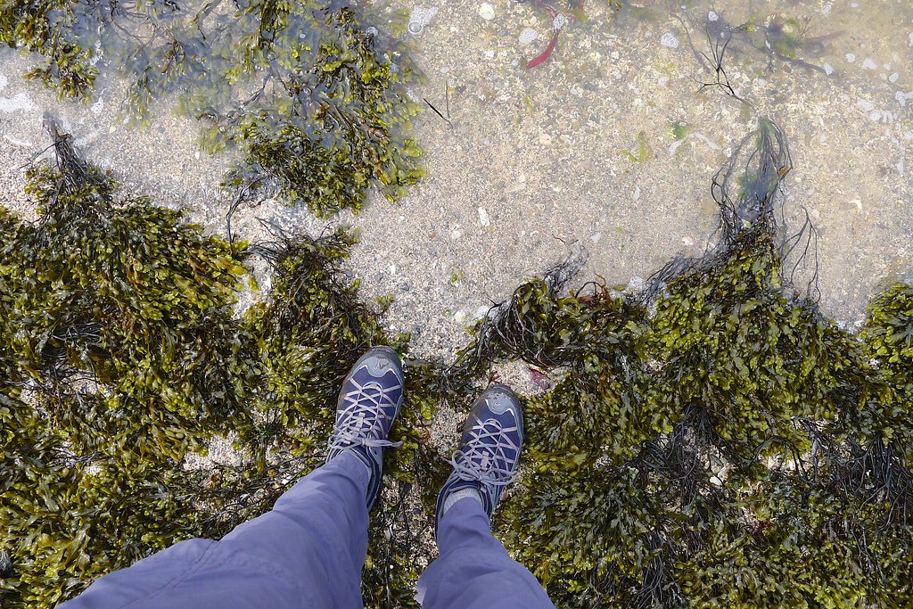
Pack down I dipped my toes into the sea and then spent a few moments sitting on the shore gazing out across the water and thinking about what was in front of me. Adventure and really wild things! Had I packed my towel?
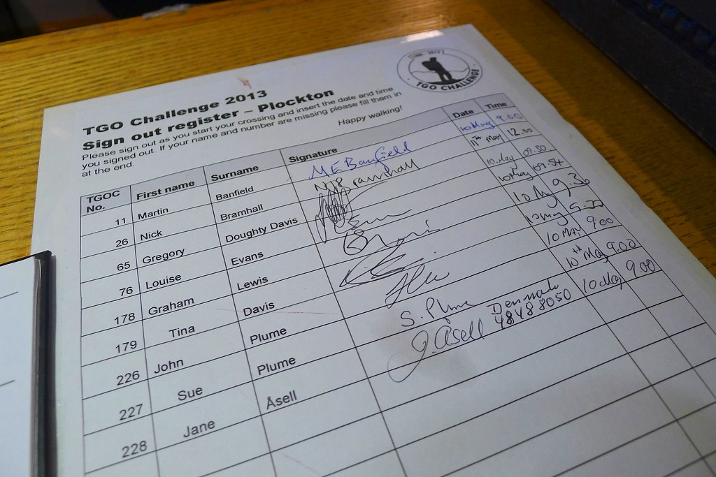
Before all that though I had to locate the TGO Challenge sign-out register. This tells the organisers that you have left your departure point as planned and in Plockton was located in the reception of the Plockton Hotel. I renegotiated cow alley, skirted the airfield and then walked down the road into the village. In the sunshine the tourists were out in force but the hotel itself was quiet. I found the register and discovered I was last to sign out in Plockton - everyone else had departed early the previous day.
After signing out I took my first few steps of the Challenge... along the corridor to the bar where I ordered a pint and lunch. This is surely the only way to get across Scotland! I sat enjoying my lunch and talking to a very friendly couple from Dorset who were motorbiking around the Highlands. They wished me luck and after polishing off lunch I stepped outside to get on with the serious task at hand. With my Spot device enabled, a map in my trouser pocket and a refilled water bottle I was off into the sunshine to seek out the first path.
This was straightforward and turned out to be a delightful path leading alongside the southern side of Plockton harbour, turning round about little headlands and then passing under the railway line and climbing up through woods to the main road. I passed a girl out walking her dog and paused a few times to enjoy the peaceful surrounds. The afternoon train rumbled by as I climbed away from the shore.
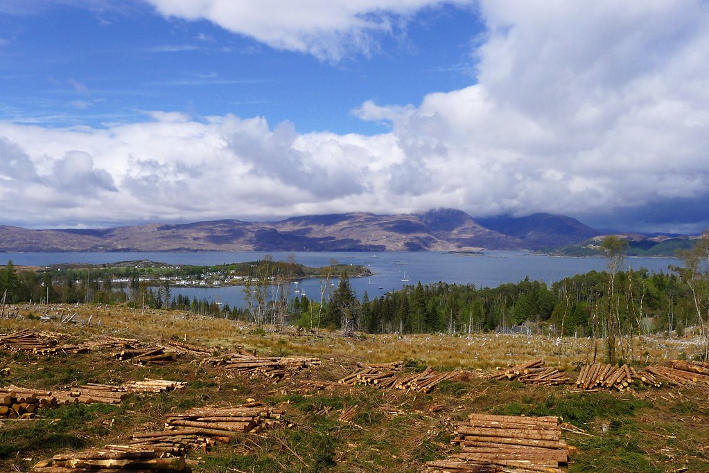
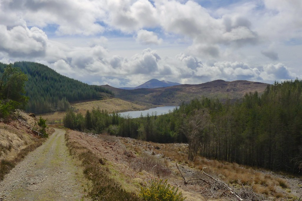
After a very short road-walking interlude I was on a forestry track which gained more height and offered superb views back down to Plockton and across Loch Carron to the hills of Applecross. The skies were blue but there were showery clouds lingering in the background and the higher hills remained shrouded.
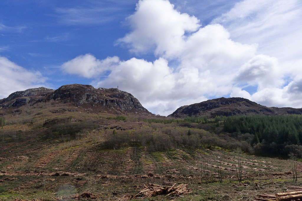
I was glad to be out on the Saturday as the forestry workings were quiet and I slipped easily around the abandoned Brachiosauric felling machines. The crags on either side of the Bealach Mòr stood out against the bright sky and it was only as I dropped to the loch near the dwelling at Sean-chreag that the first clouds started to fill the sky above me.
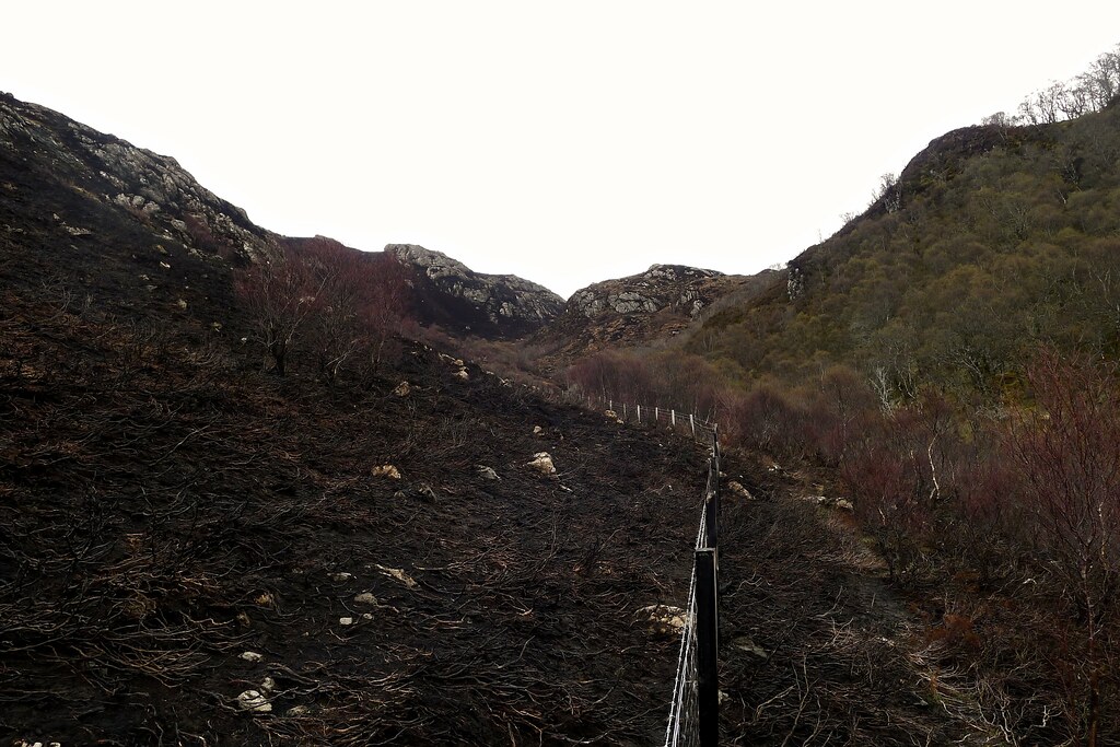
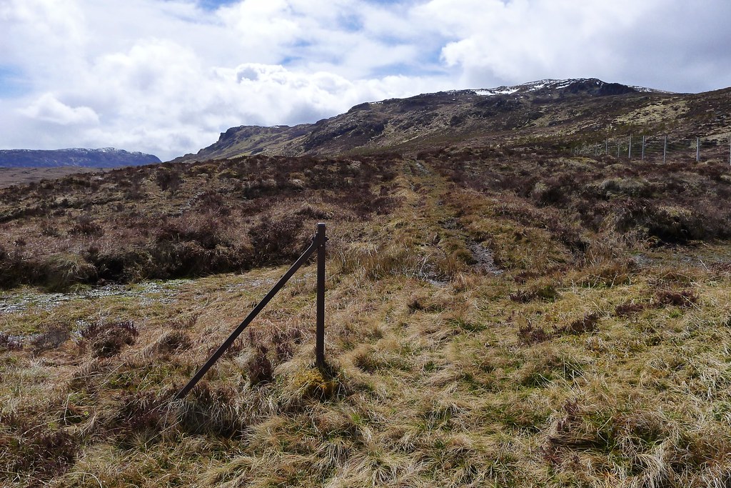
After a brief investigation of the ruins of a hill fort I turned east here, picking up a boggy track that wound its way above the burn, passing the sad remains of a recently expired deer, and then climbing up towards the notched pass of Gleannan Dorch. The path continued up to a deer fence but then mysteriously disappeared. To one side of the fence it was short stumpy woodland, and on the other it was charred heather. I chose the woodland side and spent a difficult forty-five minutes bushwhacking my way upstream.
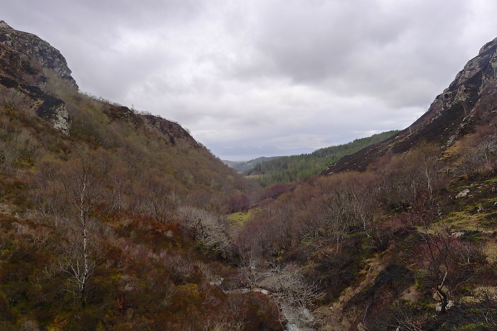
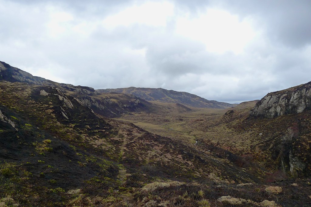
It was at this time that a light drizzle started falling and I decided to don waterproofs. After a few dead ends and one or two moments where I thought I had torn my waterproofs on briar branches I finally emerged above the craggy head of the glen and onto easier ground. Ahead of me across the moor was Beinn Raimh, my first listed summit of the trip.
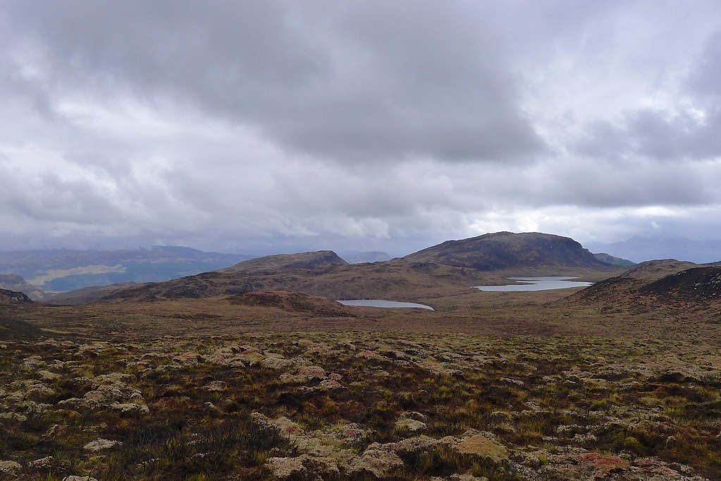
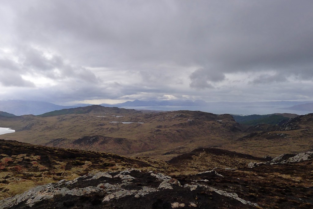
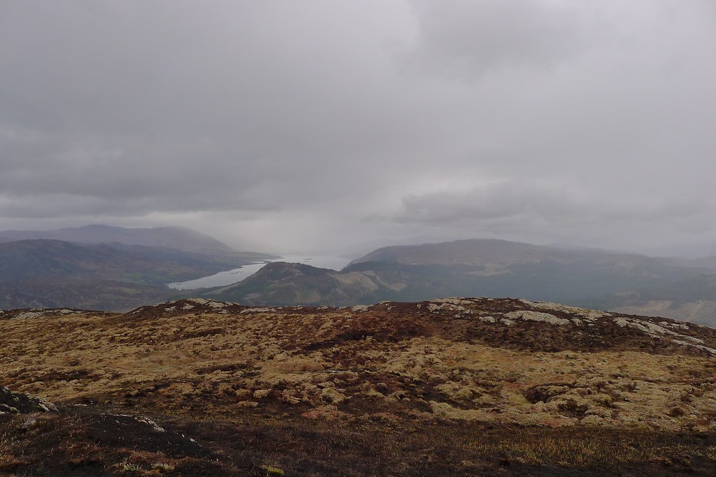
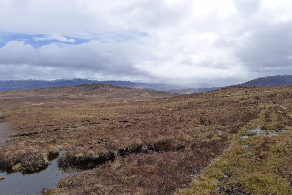
A faint path led me across the pass and then over a stretch of high, boggy moorland below Letter Hill to reach the easy climb up to the summit of Beinn Raimh. The rain turned heavier as I reached the summit but I enjoyed sitting for a moment enjoying the views out to Skye, up Loch Carron and towards Affric as the hills flitted in and out between breaks in the heavy cloud.
The descent to the main road from Beinn Raimh was steep and slippery in wet conditions and largely pathless but I picked a way down and emerged on the military road that runs parallel with the somewhat more modern A 890. I followed the old road uphill until it became too overgrown and then dropped down to the grassy verge of the main road.
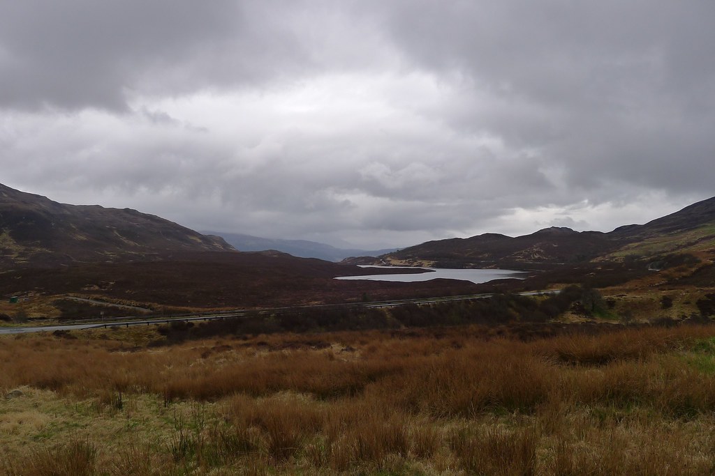
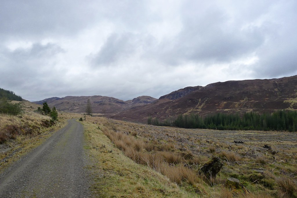
It wasn’t too busy and soon enough I was at the turn-off for the forestry road leading into Gleann Udalain. By this time the rain had stopped and I paused at the gate to remove waterproofs. The way down Gleann Udalain was easy going and I enjoyed the emerging sunshine as it illuminated the hills which featured impressive coires and waterfalls on this northern side.
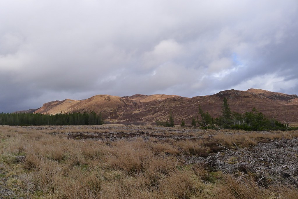
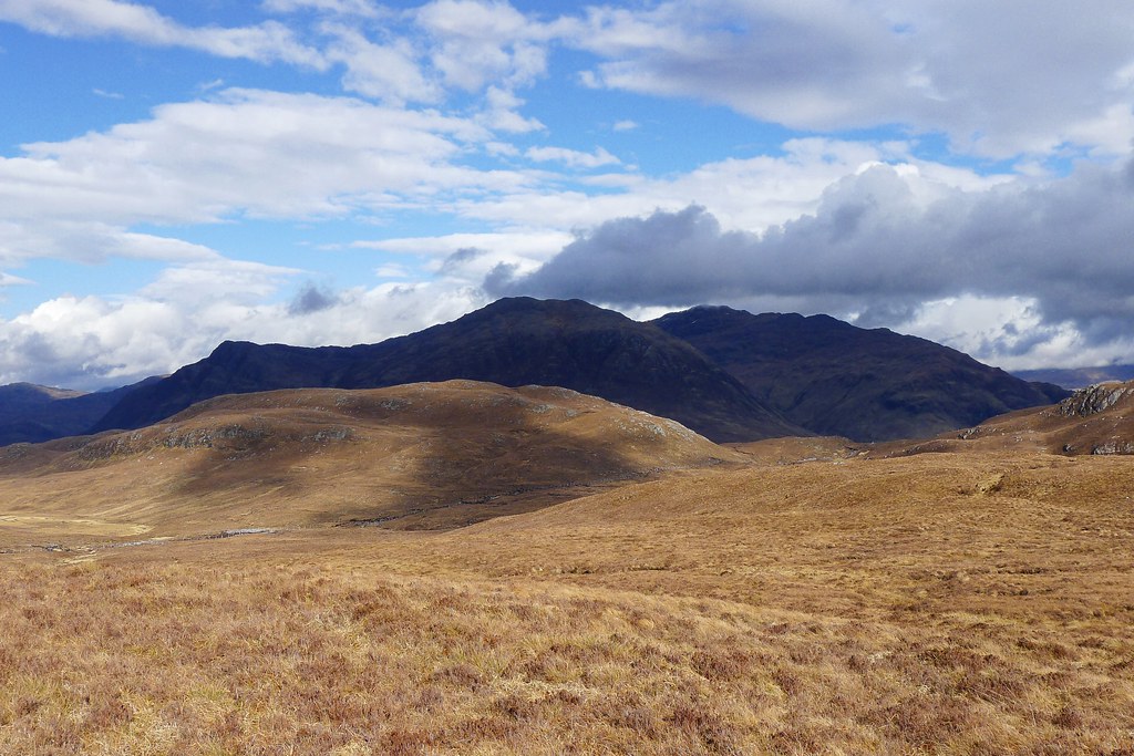
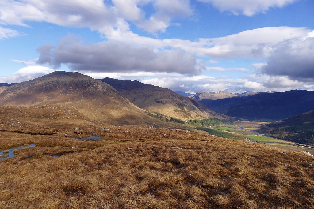
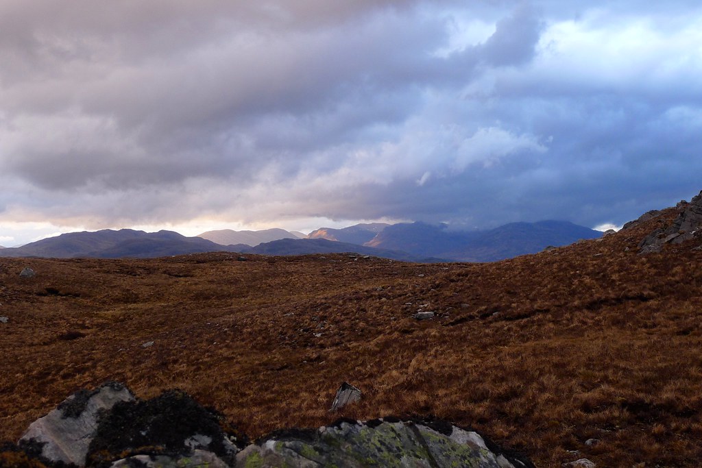
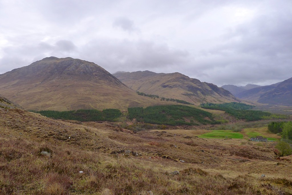
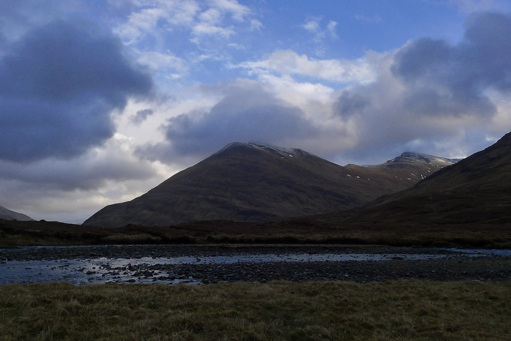
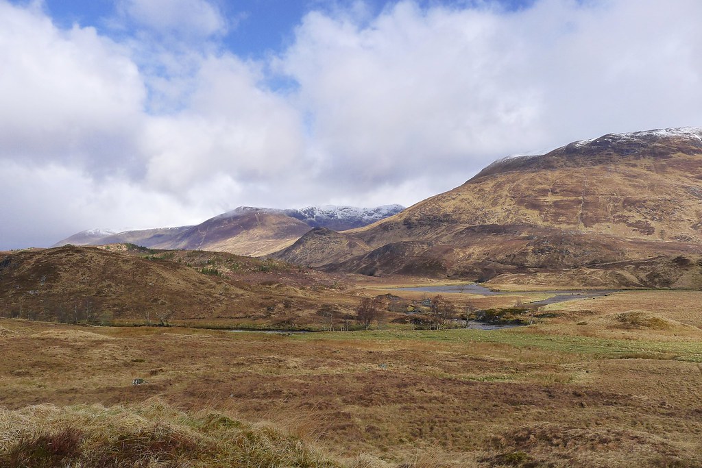
I knew from my vetter’s comments that the deer fence running along this glen could be problematic, particularly in the upper reaches, and so when a gate appeared I made use of it, fording the river and cutting off a corner of my planned route by ascending to an unnamed pass between two unnamed humps. Emerging on the top of the bealach I was greeted by the sight of the dark flanks of the Killilan hills under deep blue skies as sunshine swept across the scenery.
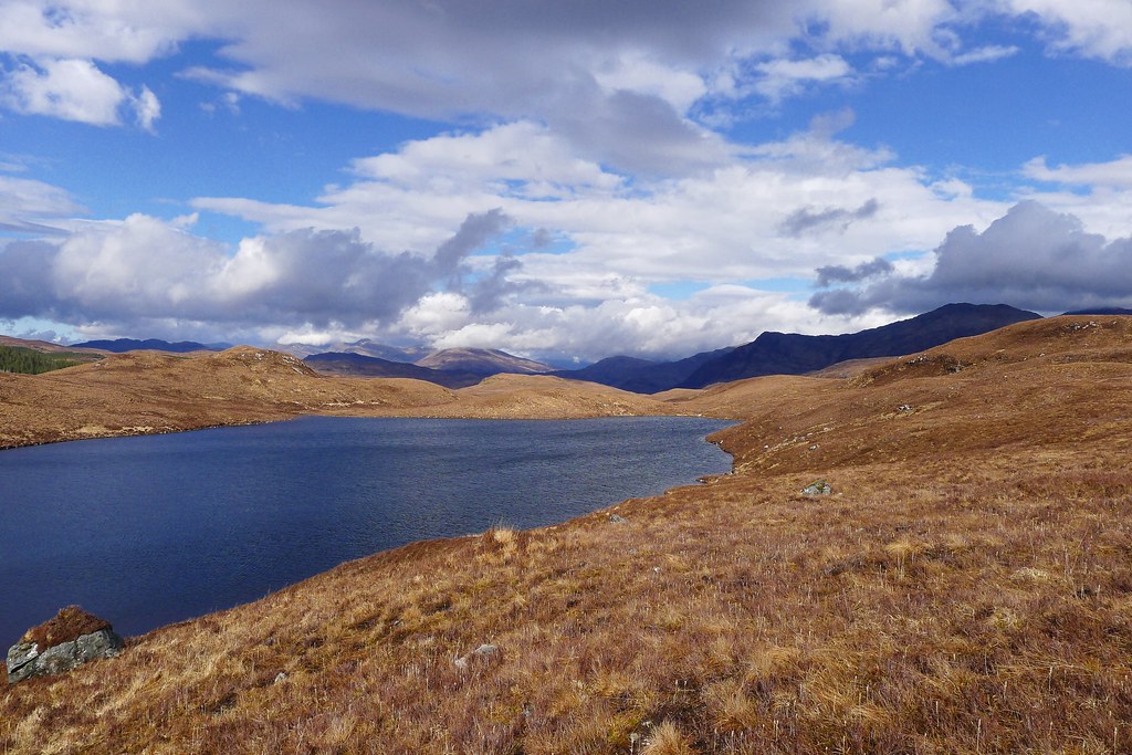
The bealach led me to a delightful stretch of heather moorland which took me past Loch Innis nan Seangan and then to the lumpy hill of Carn na h-Onaich where I intended to camp for the night. There was one final quite high deer fence to get across and then I was up the hill.
From one of the many craggy summits I enjoyed the sunlit views across the hills of Kintail and down towards the green sweep of land around Killilan at the head of Loch Long.
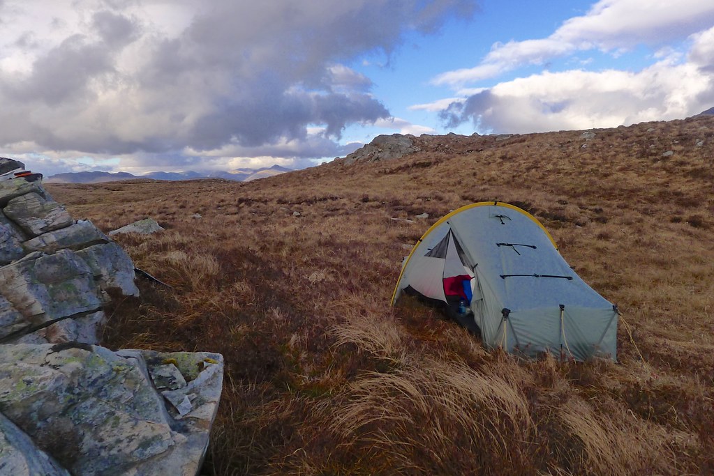
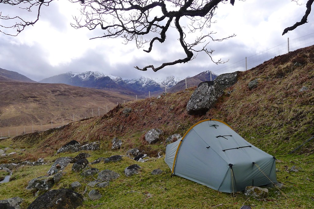
By now the wind had picked up and it was a blustery evening as I hunted around for a pitch. Eventually I found a sheltered spot behind a jumbled granite tor and soon had the tent up for my first wild camp of the Challenge.
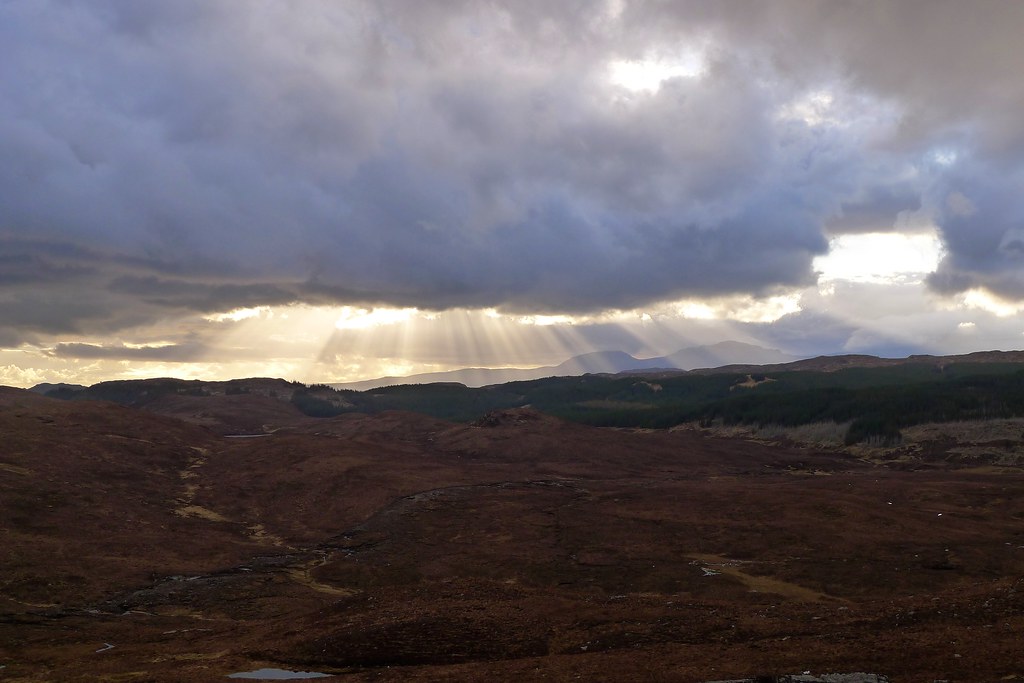
The evening was spectacular with the light shifting behind clouds, illuminating the surrounding hills and lighting up the western sea. I enjoyed dinner and sat up on the tor with a mug of hot chocolate reflecting back on a great first day.
Day 2, Sunday 12th May
Route: Wild Camp on Carn na h-Onaich to Wild Camp at end of Loch Mullardoch
Distance: 18km (38km total)
Hills: Sguman Conntich (Corbett)
The next morning was a little less inspiring. The cloud was down low, obscuring the higher summits, but at least the blustery wind of the previous evening had died down in the night. I had breakfast and packed up having decided to try descending directly from the hill to Killilan rather than following my planned route north down to the River Ling and then cutting back south to the village. The weather forecast informed me that a promising morning would rapidly deteriorate and I wanted to make the most of this window, leaving the end of the day for an easy walk along to the western end of Loch Mullardoch where I planned to camp.
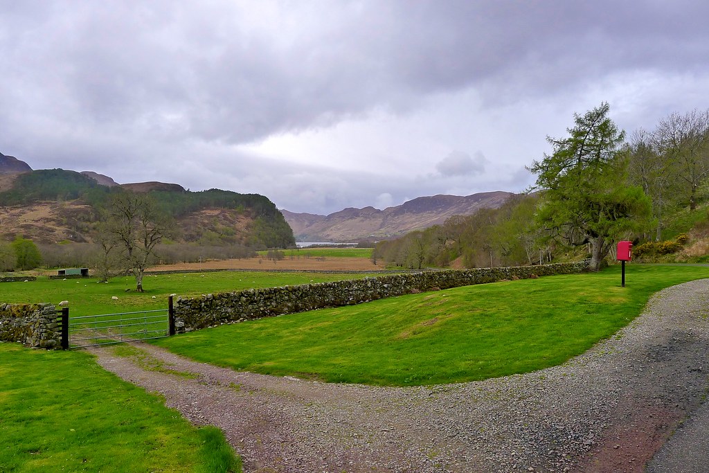
The descent was easy enough, simply aiming off the hill for the cluster of buildings at Nonach Lodge. Eventually a path emerged and I followed this to the farm and then down the tarmac road and into Killilan itself.
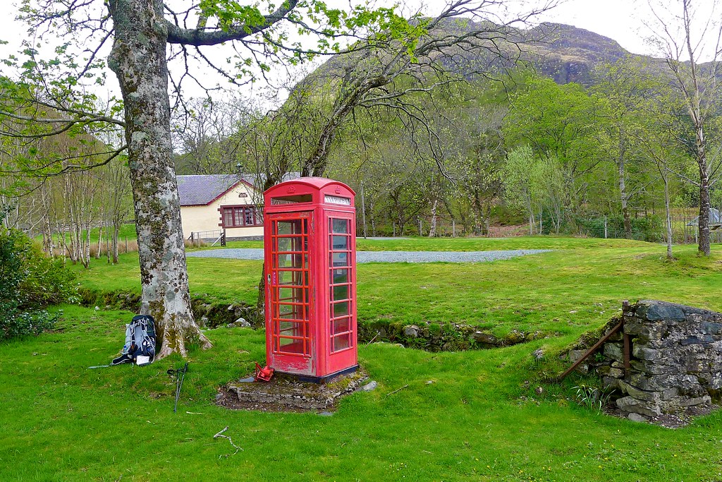
Here I stopped to look at the dilapidated public telephone box which I was supposed to use to call Challenge Control (four phone calls are required throughout your Crossing to update them on progress and discuss any major route changes). After wedging myself inside the box and working out the correct combination of actions (lifting the receiver, waggling the cable, pressing the coin return button and so on) I finally got a dial tone and my payment was accepted. Roger Smith at Challenge Control answered the phone and was happy with my plan to try the Corbetts today and then follow my FWA the next day rather than attempting the Affric Munros in the high wind and whiteout conditions that were forecast.
Formalities observed, and after a second breakfast, I was climbing out of Killilan following the steep sides of Coire Mòr. Above me Ben Killilan rose to the left and the craggy slopes of Sguman Conntich to the right.
After a while spent following the landrover track I crossed the stream and ascended the Corbett by a number of ridges and crags until I finally emerged on the summit ridge itself. Behind me the view down Loch Long opened out and eventually I was treated to a panoramic view that took in Knoydart, Loch Duich, Skye and more.
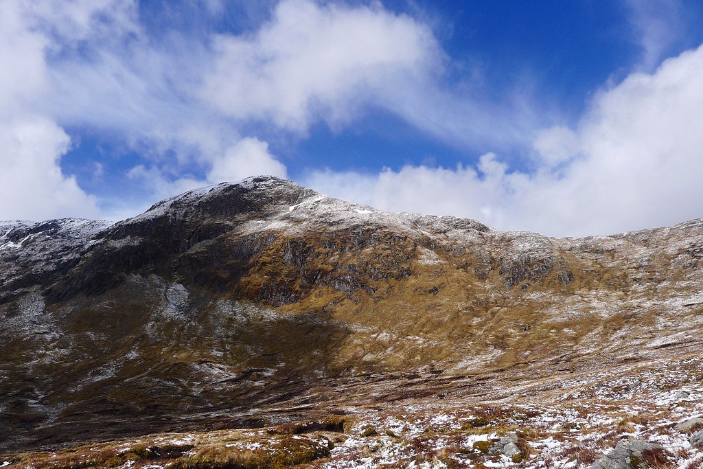
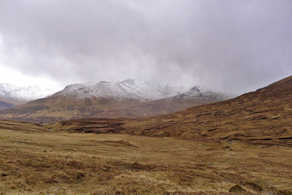
Whilst the views had developed nicely it was clear that rain was approaching. From the summit the hills of Mullardoch and Affric looked magnificent, their coires and ridges picked out by threads of snow. I was quite pleased, however, that there seemed to be much less of the white stuff around than some people had been implying.
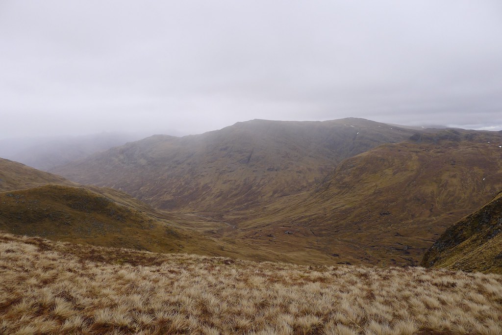
After lunch on the summit and making my way towards the neighbouring Corbett of Faochaig the weather caught up with me. The cloud base dropped rapidly and soon everything was shrouded in mist down to about 750m. After wandering along the impressive scarpment high above Coire Schlat I decided to take a shortcut down to Glen Elchaig rather than trudging up to the summit of Faochaig in clag.
The descent path through the coire of the Allt Domhain to Carnach was excellent with a couple of airy moments high above the tumbling waters of the burn. Down in the glen there was an unusual collection of cows, calves and deer but they moved away as I strode through, making my way along to Iron Lodge.
The rain came on and off as I moved westward and waterproofs stayed firmly zipped up. The climb up from Iron Lodge towards Mullardoch was on an easy track and at the top just short of Loch an Droma I found a perfect wild camping spot; a grassy bowl sheltered from the wind with a stream coursing through.
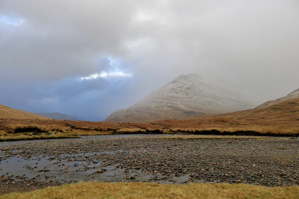
It was still early though so I pressed on to my planned spot at the end of Loch Mullardoch. Everything was very, very boggy and the burns were high but plenty of small vehicle bridges made light work of these and soon enough I was dropping down to the Gobh-alltan and getting the tent pitched up in a stiffening westerly breeze just as the rain turned to snow.
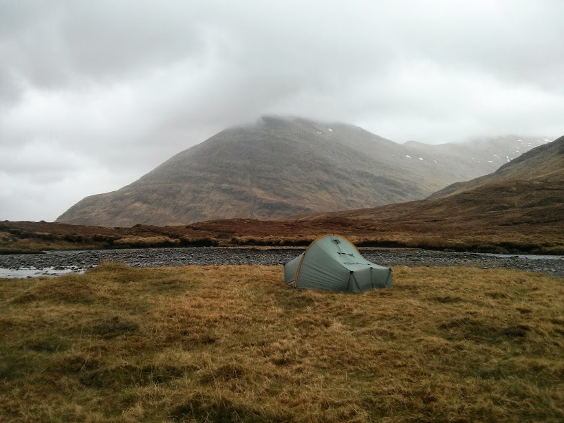
Thereafter it was an evening largely confined to the tent as successive weather fronts blew through. There was rain, snow, hail and wind but I was cosy and warm in my sleeping bag and after a few chapters of my book I drifted off to sleep.
Day 3, Monday 13th May
Route: Wild Camp at end of Loch Mullardoch to Wild Camp in Gleann na Ciche
Distance: 16km (54km total)
Hills: None
Today should have been the first day of Munro bagging, climbing amongst the high hills of Western Affric, but sadly it was not to be. After a final flurry the air was clear by early morning and I was greeted by fresh snow down to 600m and a very strong wind. I quickly decided that the long stretches of ridge walking I had planned would be incredibly difficult in these conditions and as I’d agreed with Roger the day before in Killilan I set out to take my FWA over to Glen Affric.
Between rain showers I packed up and got on my way, following the track along the southern shore of Loch Mullardoch to the point where it dips down and fords the Abhain Coilich.
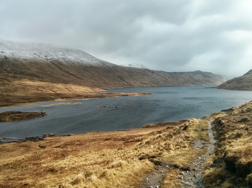

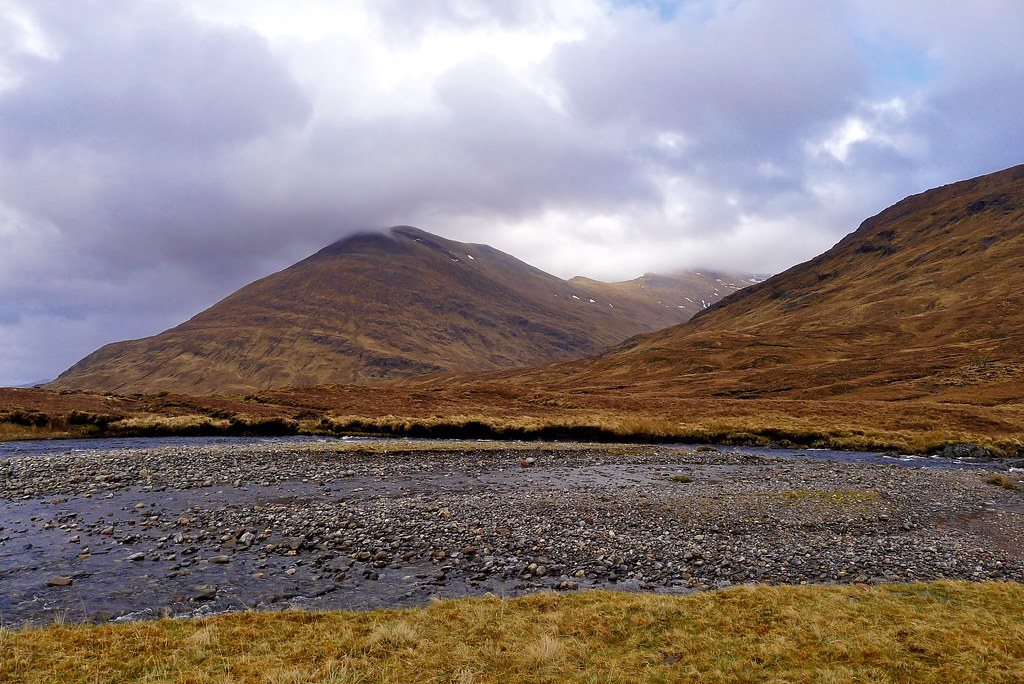
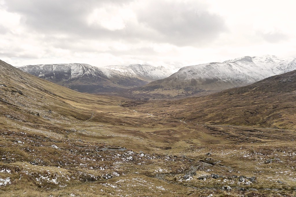
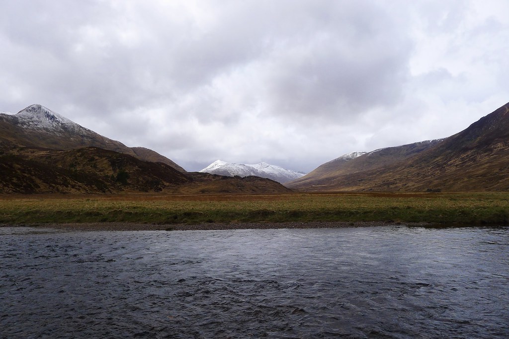
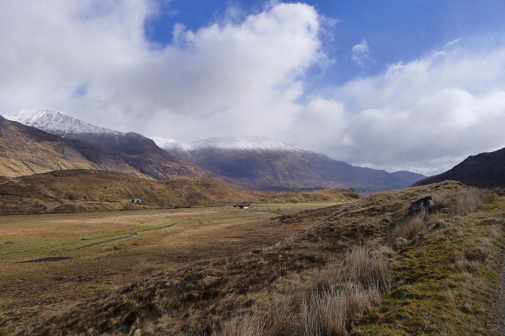
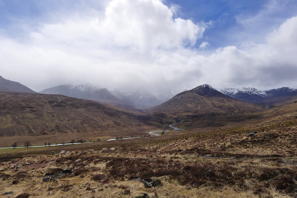
As another shower cleared I got glorious views of the Mullardoch Munros, snow capped across the glittering waters of the loch. The crossing of the Choilich was relatively straightforward despite a swift current and then I was following the path into a truly magnificent cathedral of mountain scenery.
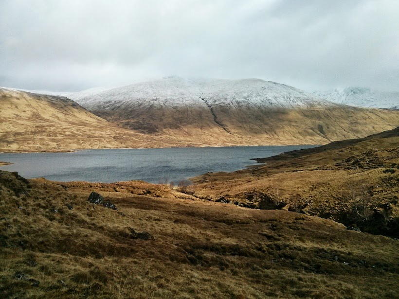
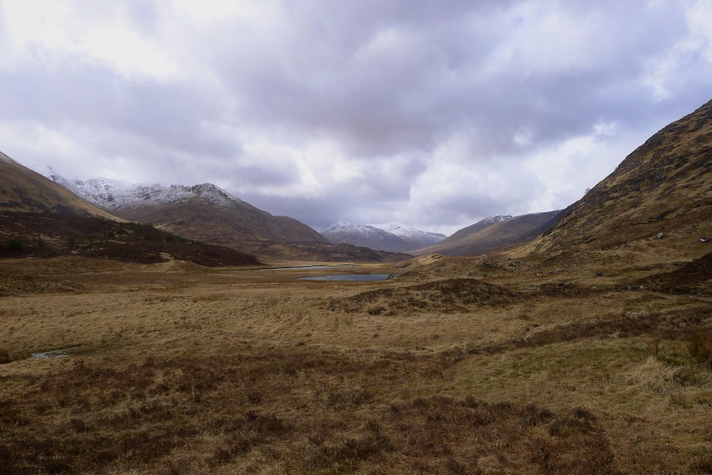
The Affric peaks emerged around the corner of the glen one by one: Carn Eige, Mam Sodhail, An Socach and finally at the far end appeared Sgurr nan Ceathramhnan.
It was an utterly glorious sight to behold and although the mountains would disappear from time to time behind fierce billows of snow which were racing down the glen towards me, the sun would return again and blue sky would crackle over the white mountains.
I made steady progress up the glen and then followed the distinct path as it climbed to the bealach between Mam Sodhail and An Socach, the lowest point on this magnificent ridge. As I climbed I found myself amongst fresh snow that deepened as I neared the summit. Emerging on the crest I was greeted with stunning views down across Glen Affric to the Glen Clunie hills and westward to Beinn Fhada. In a convenient wind shelter I stopped for lunch watching as the clouds raced through, their shadows a patchwork of shades on the glen floor below me.
In the midday sun the new snow was starting to melt and the south side of the bealach was rather watery, the path playing host to torrents of meltwater. I slithered my way down to drier ground, continuing to admire the views as the cliffs below An Socach emerged.
It was only as I got lower that the weather once again changed and this time deteriorated with low cloud and high winds taking over.
Glen Affric should have felt relatively sheltered but down by the river I found the westerly winds very bad indeed. I scouted around the first flat area I came to and even tried a test pitch but the wind would snatch the tent away from me before I could hook in the first guy point.
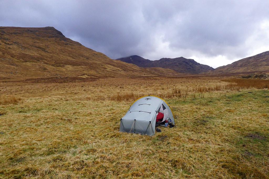
Put off by this experience I had a second lunch and then meandered down the glen, thinking it might be more sheltered near Loch Affric. Unfortunately, after passing the buildings at Athnamulloch and coming across the first people I had seen since the main road near Gleann Udalain, I found that the west end of the loch was boggy and exposed. Another perambulation and I was on the track returning back past Athnamulloch and this time branched off into Gleann na Ciche. This glen runs southwest into the heart of the Clunie Munros and proved to be a very little bit more sheltered. After covering some distance into the glen I came across a flat area by the stream and decided to try pitching again. This time the tent went up fine and I dived in just as the really heavy rain started.
The evening proved to be quite wild with ferocious gusts of wind tearing down the glen, bringing with them heavy squalls of rain. Each time the tent would buckle under the force but it held firm. As a murky darkness fell the weather seemed to worsen briefly and a tent peg pinged out. I couldn’t find it in the gloom but a spare one was put in its place and after dumping a pile of river rocks on each pegging point I returned to bed, finally falling asleep as the storm continued to rage all around me.
Day 4, Tuesday 14th May
Route: Wild Camp in Gleann na Ciche to Wild Camp above Coire Doe
Distance: 21km (75km total)
Hills: None
The next morning seemed to be a bit calmer. There was a fresh wind and sunshine over the mountains. I stumbled down to the river to wash my face and it was then that I made the gruesome discovery.
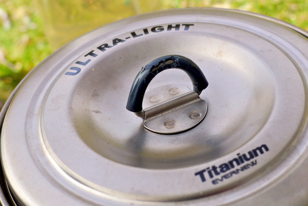
By the bank was the distorted corpse of a Jelly Baby, its head ominously missing. Looking back I noticed a trail of similarly mangled Jelly Babies leading back to my tent. I went back around to the cooking porch and found a neat pile of rubber and a series of bite marks in my pot handles. Looking back into the tent I dug out my food bag and found the holes in the tent inner where the creature had bitten though first tent, then plastic bag, then sandwich bag to finally reach, steal and devour my stash of Jelly Babies! There was no sign of the culprit and I hastily took stock of my food, noticing that only the sweets, plus a nibble of peppered salami were missing. The cheese was still there. No conforming to stereotype for the rodents of Glen Affric!
With this excitement over (and some duct tape covering the series of little holes in my tent inner) I packed up, fully intending to make the most of the sunshine. I finally found the missing tent peg, twenty metres away and on the opposite side of the tent from where it started! The forecast (though this was a couple of days old by now) had been for more wind and showers and with the Munro tops immediately above my campsite still shrouded in snowy clouds I decided to spend another day going around them, rather than over. In fact I decided to do a variation of my Foul Weather Route to ensure I had a sheltered camp that night across the hills in Coire Doe.
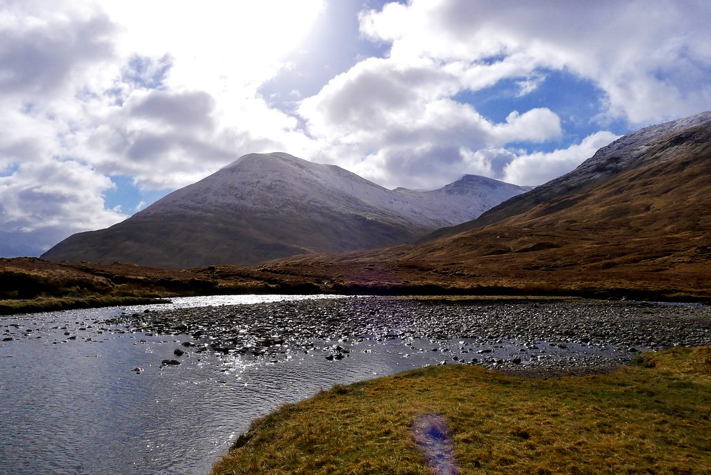
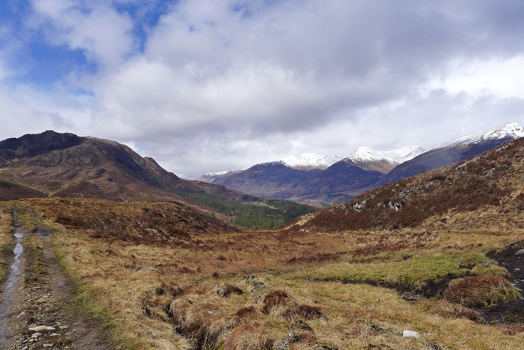
I retraced my steps down to Athnamulloch in Glen Affric and then continued east, taking the high track that parallels the loch on its southern bank. As a final rain shower cleared from the hills a stunning vista was revealed.
The big hills on the north of the glen had a pristine covering of snow and the skies above were again blue. I strolled along, taking the odd picture, pausing now and again to just stop and enjoy this glorious morning.
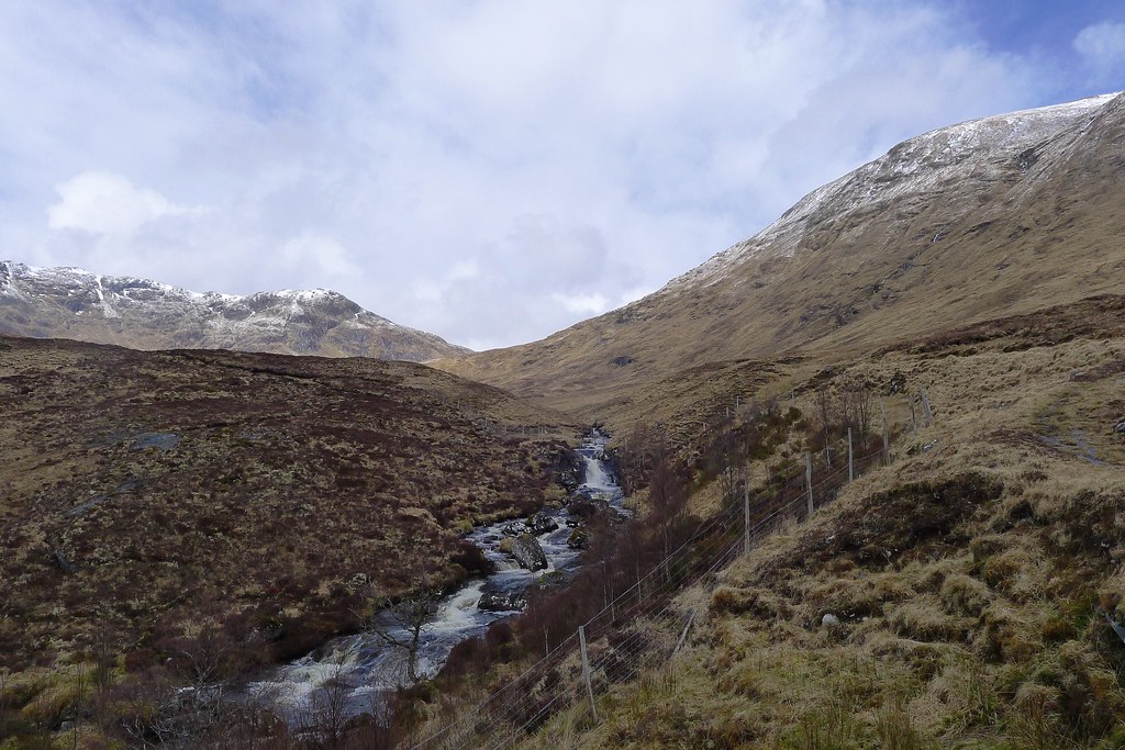
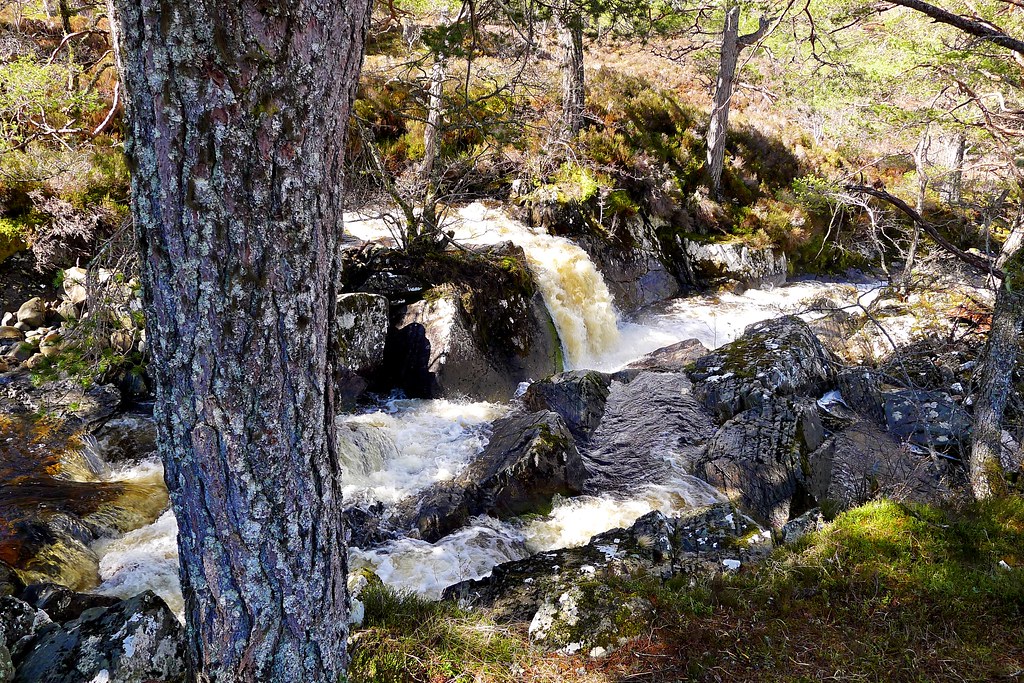
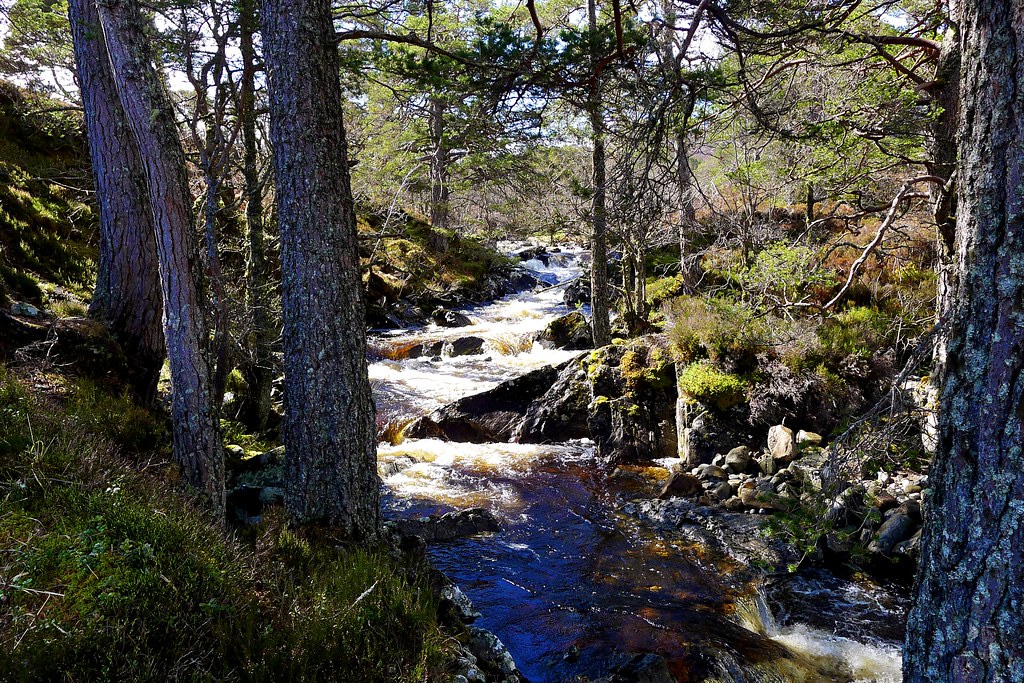
By the bridge over the raging Garbh Allt I paused to take off a few layers and eat some food before following the muddy track up beside the tumbling stream. Swollen by rain and snowmelt the current was ferocious, raging down over falls and breaking its banks in several places.
Eventually the path led me away from the Garbh Allt and up to a point where I joined a landrover track (marked by a Scotways sign) running towards Cougie.
Through some further smaller showers I made my way across this high, quiet moorland passing through forestry and old growth trees with open views across Loch Beinn a’ Mheadhoinn and east towards the Great Glen. I arrived at the small hamlet of Cougie in yet another shower but it quickly brightened up again.
At Cougie all was quiet as I sat on a rock eating lunch before heading up the wide glen containing the Allt Riabhach. After food I took a good track heading southwest, yet another old right of way across the hills leading to Ceannacroc. This allowed easy progress and I was soon enough heading up towards the bealach that led to a wide stretch of moorland passing below Creag Dubh.
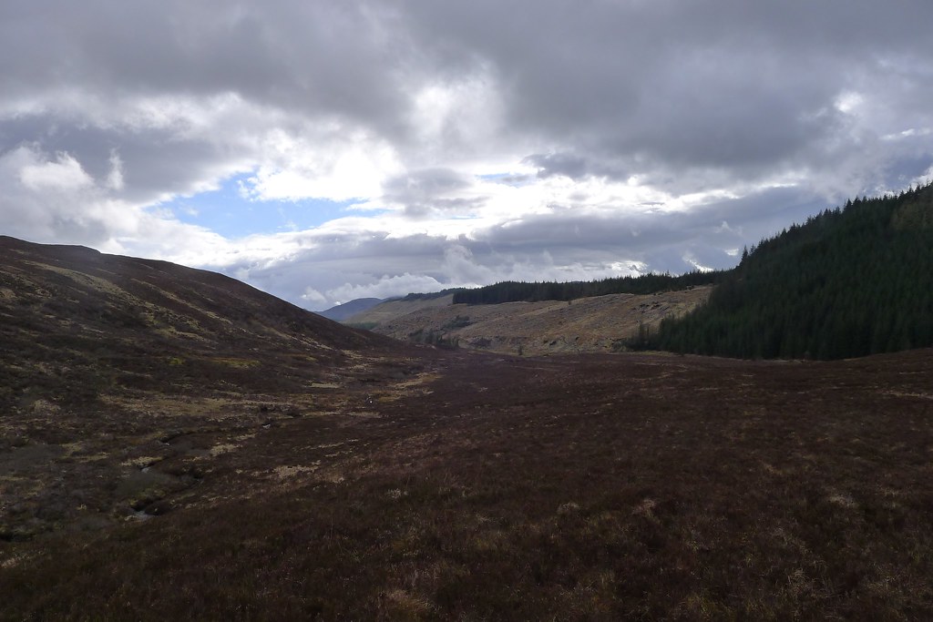
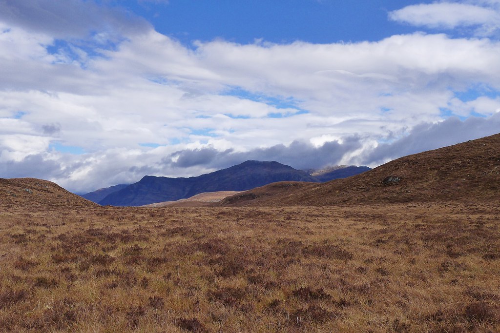
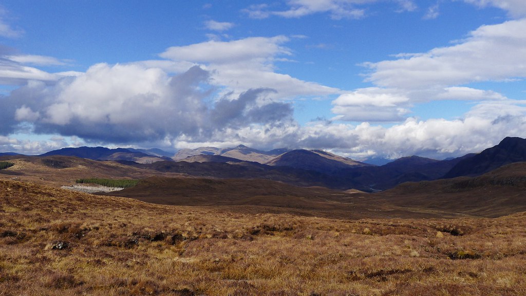
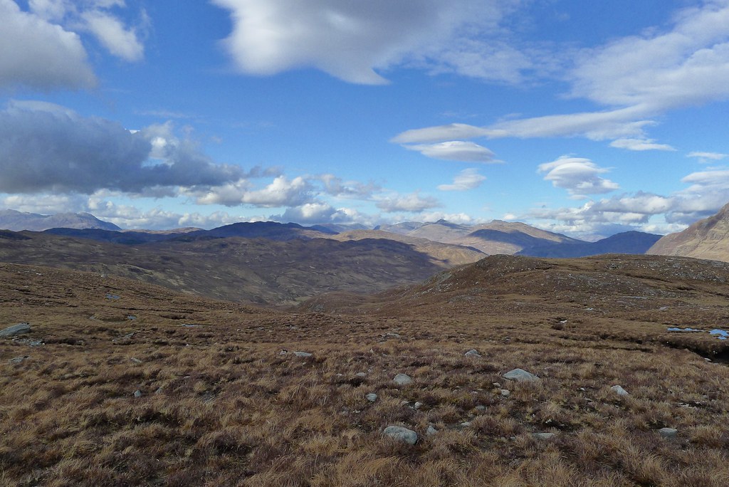
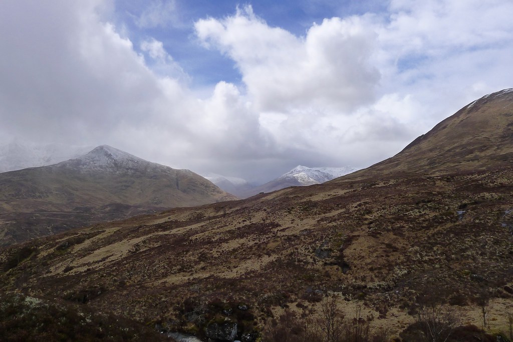
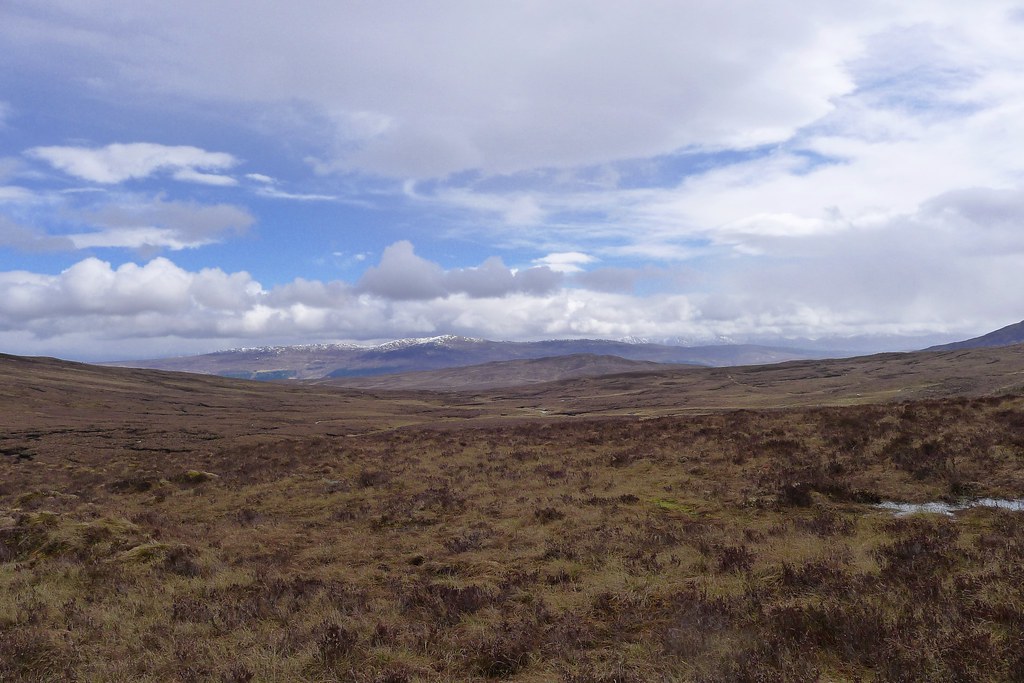
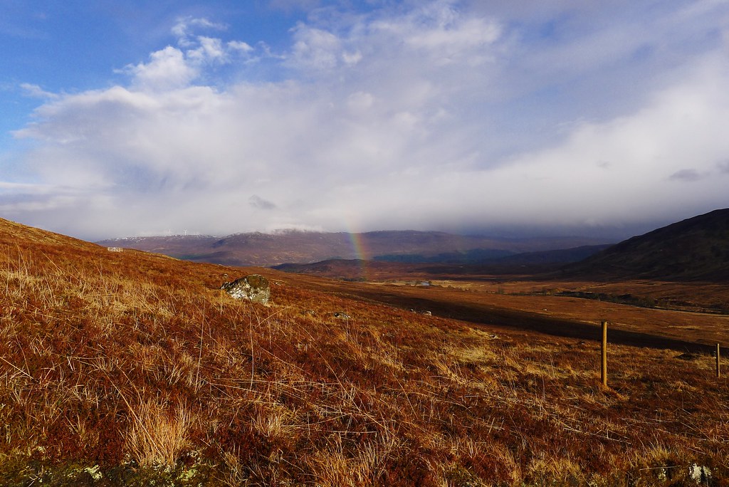
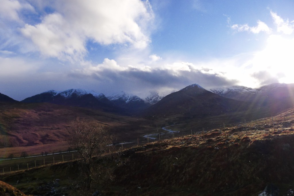
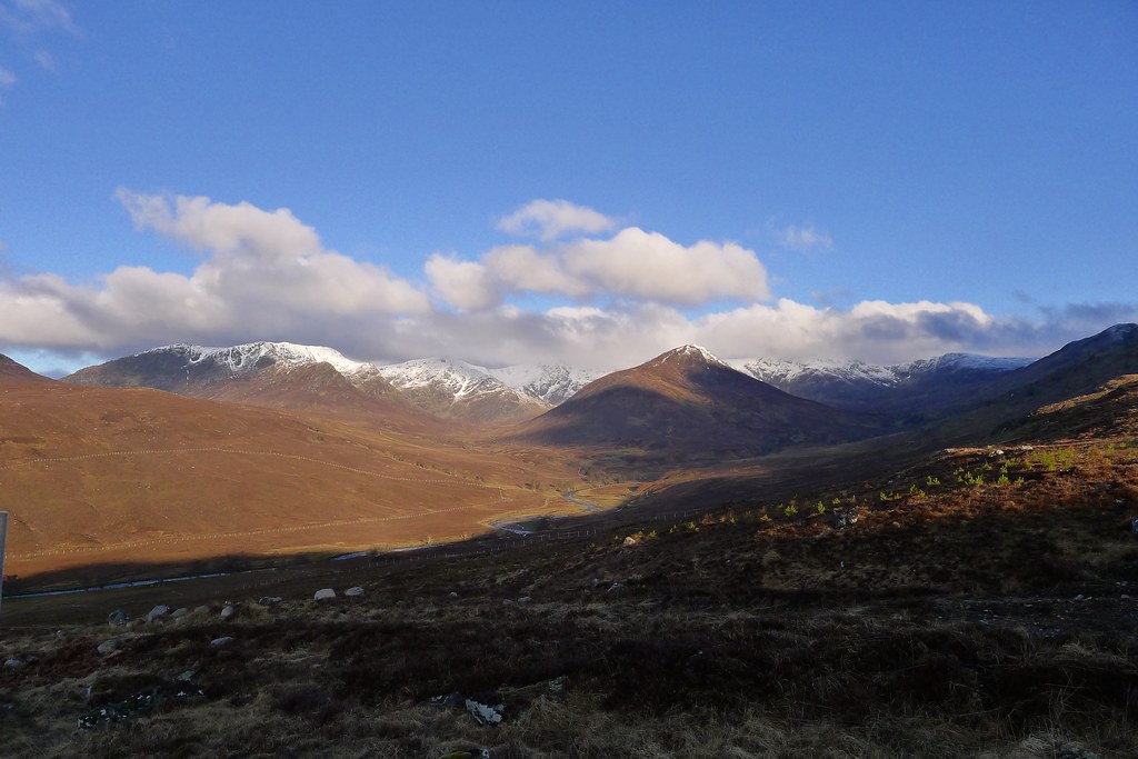
I paused on the summit of the bealach to gaze out over rolling heather to the hills south of Glen Moriston, the last range before the Great Glen. The end of the first stage of the Crossing was now close at hand.
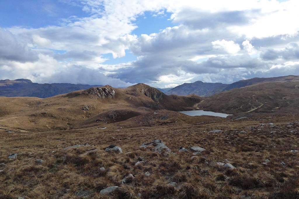
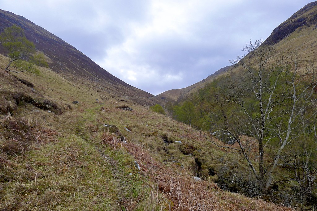
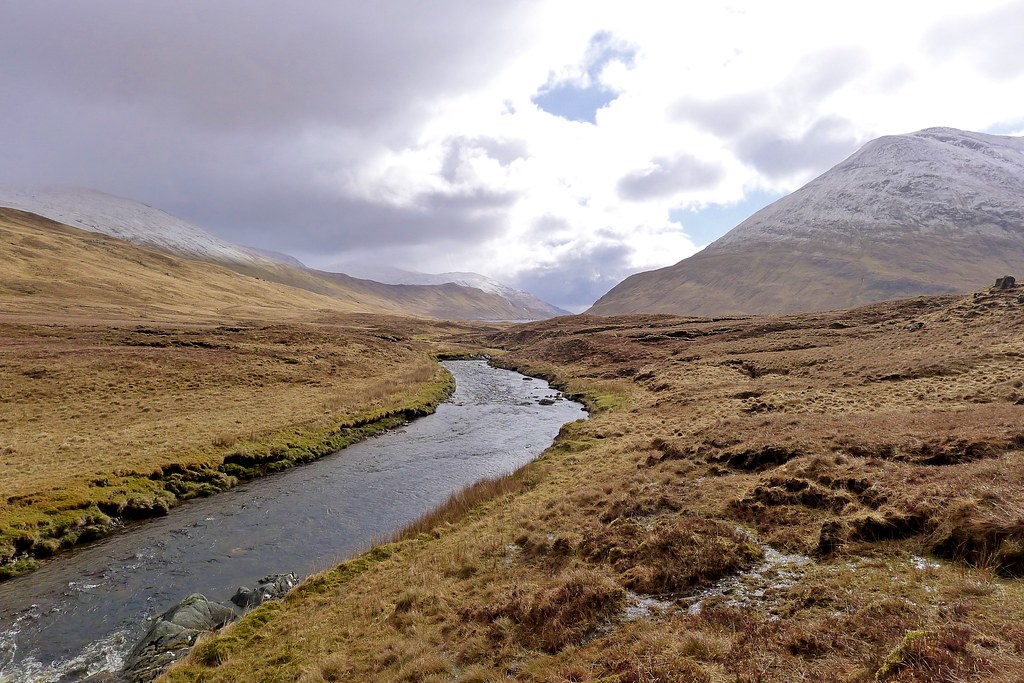
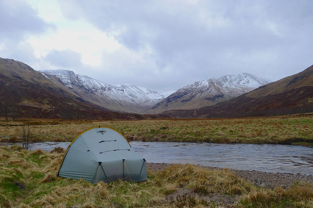
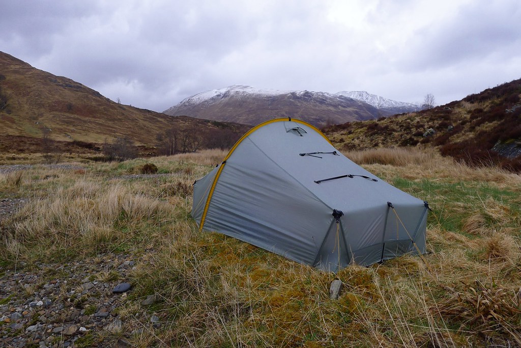
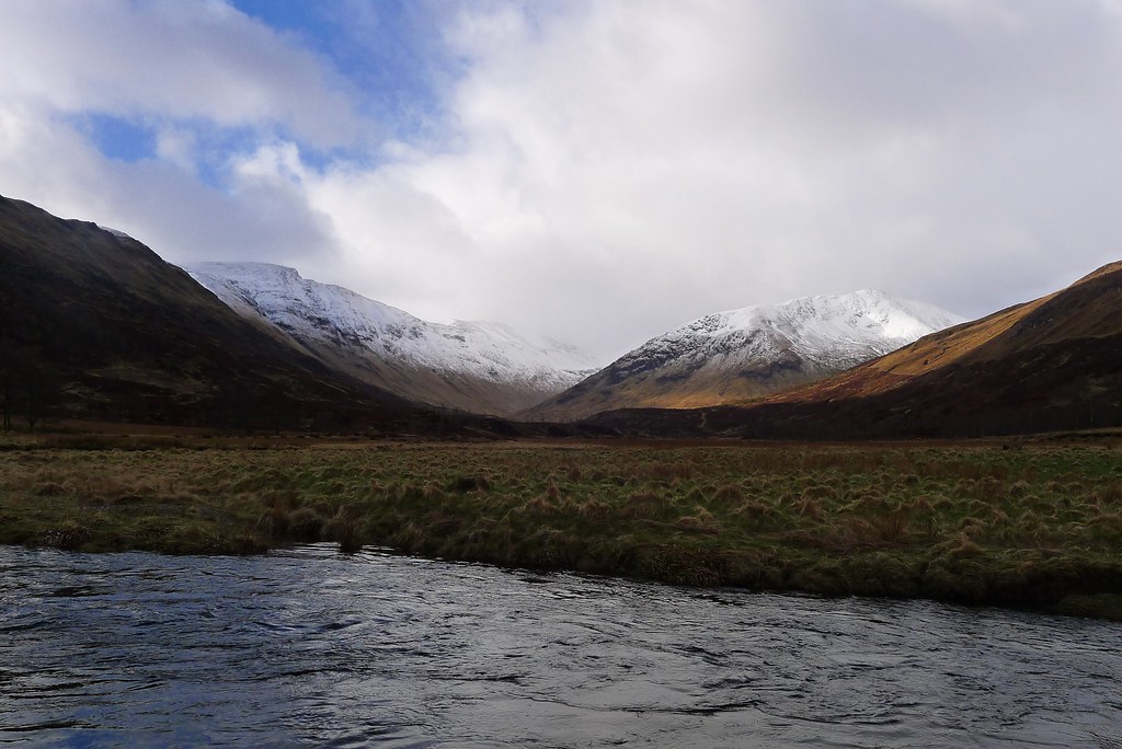
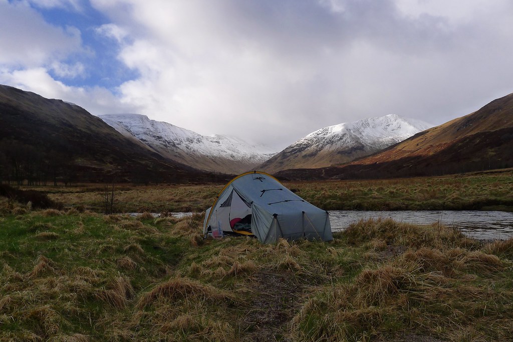
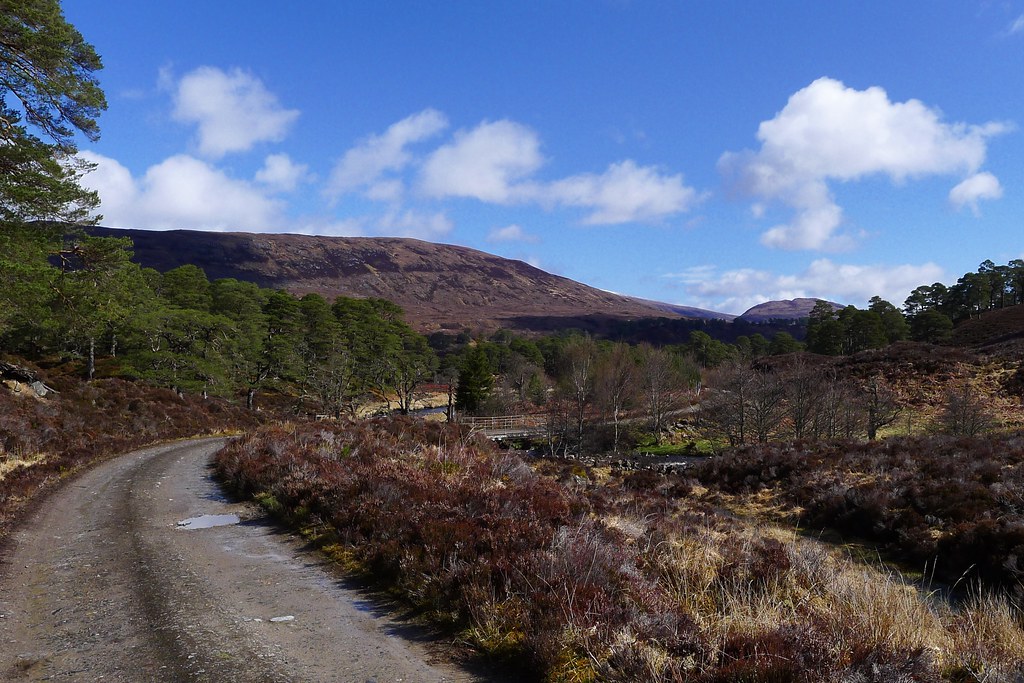
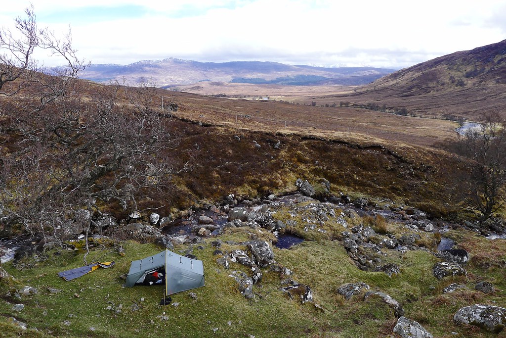
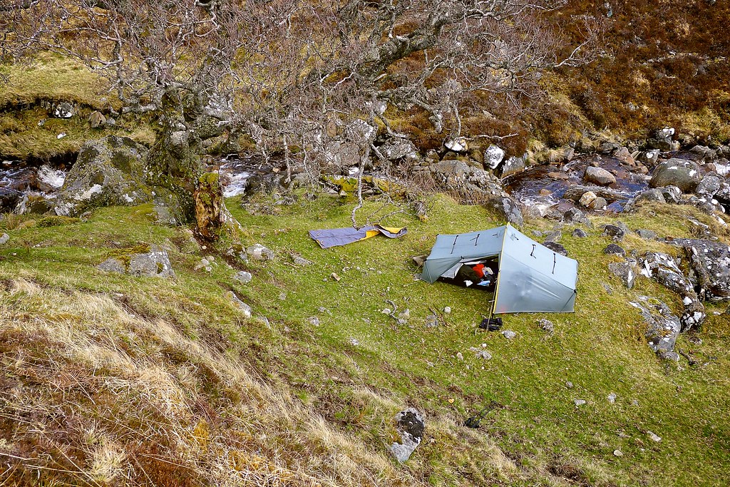
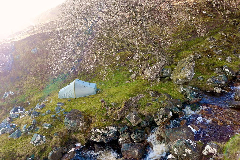
To find shelter I dropped down into Coire Doe, leaving the track and following a delightful little stream that descended between steep banks where an occasional twisted tree grew and there were idyllic patches of flat, close-cropped grass.
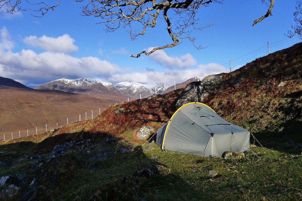
I eventually selected one of these as my pitch for the night, the high banks providing shelter from the wind whilst the elevation gave excellent views across to the mountains of Coire Doe, just emerging from the last of the heavy showers.
With the tent up I was able to attend to tent repairs in a more relaxed manner and then spent a perfect evening, the first one where I had warmth enough to sit outside for a spell eating my dinner. There was even a touch of mobile signal allowing me to send off the first photo from the trip. I happily watched the sun sink into the cloud sitting over the mountains and then headed to bed, feeling great after a final good day in the North West Highlands.
Day 5, Wednesday 15th May
Route: Wild Camp above Coire Doe to B&B in Fort Augustus
Distance: 30km (105km total)
Hills: None
The day dawned as brightly as it had ended the previous evening. As I lay in my sleeping bag the sun crested the hill behind me and I was bathed in warmth. Would this be the first time since leaving Plockton that I hadn’t started a day in waterproofs?
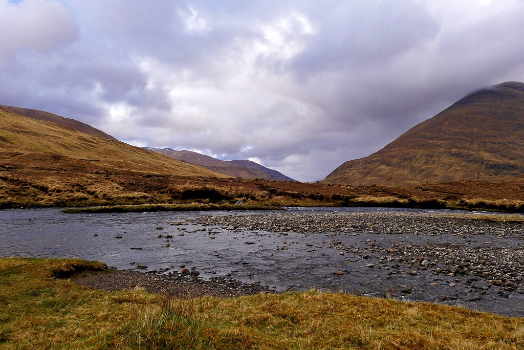
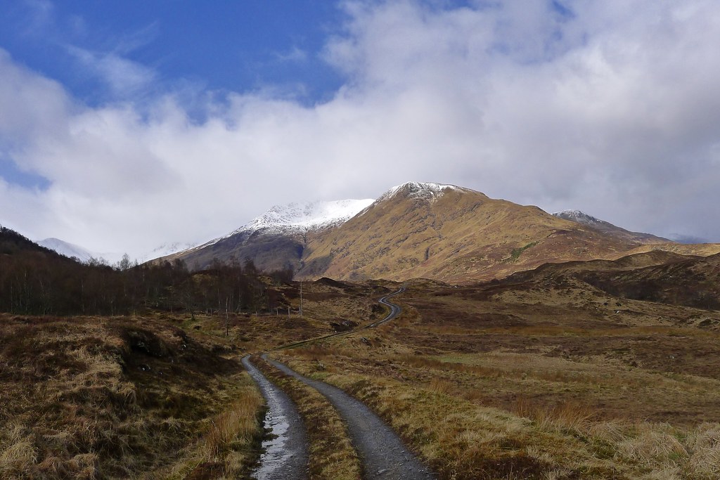
After a leisurely breakfast I did indeed set off in minimal layers, suitable for the rapidly warming day. I had a bit of a map ponder and then dropped down from my camp spot to the River Doe which was wide but docile. I waded this easily and picked up the landrover track on the far side, following it eastward as it wound away from the hills and down towards the relative civilisation of Glen Moriston.
There are a number of hydro developments along this stretch and I used the access infrastructure to cross the river and then loop around via some higher ground to reach the end of a white road at the farm of Tomchrasky. On the way I spotted my first ever Black Grouse and had to briefly put on the waterproofs as an errant shower passed through.
For the 5km of road walking I put on my headphones and got my head down, pausing once because of a little moment with a bull/large cow that got panicked as its calves ran off into the wood through an open gate, and then again to talk to an elderly gentleman walking his dog - my first human contact since lunch in Plockton!
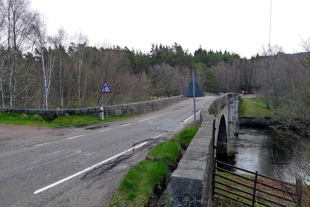
The road eventually led through the strung out village of Dalchreichart and emerged at the main A 887 road at Torgyle Bridge which I used to cross the River Moriston.
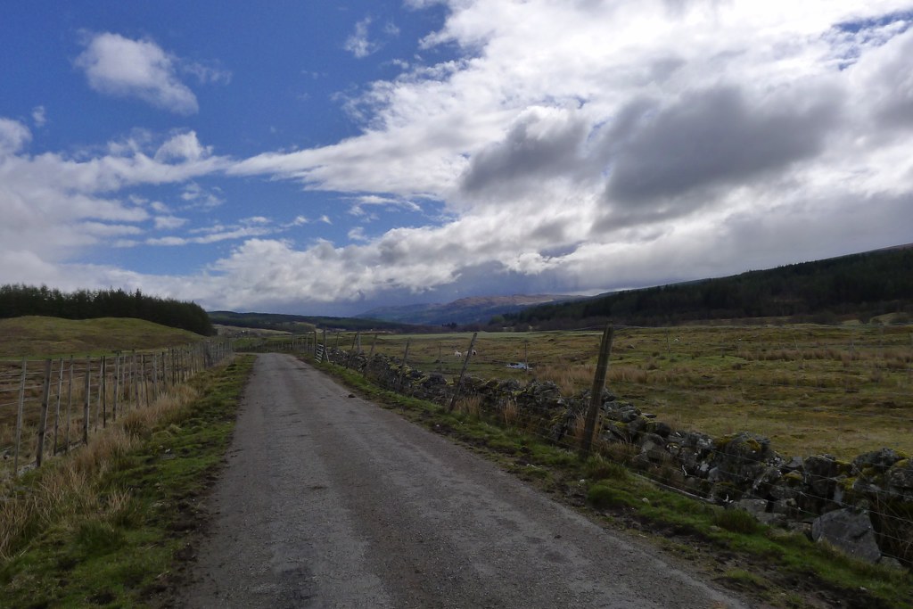
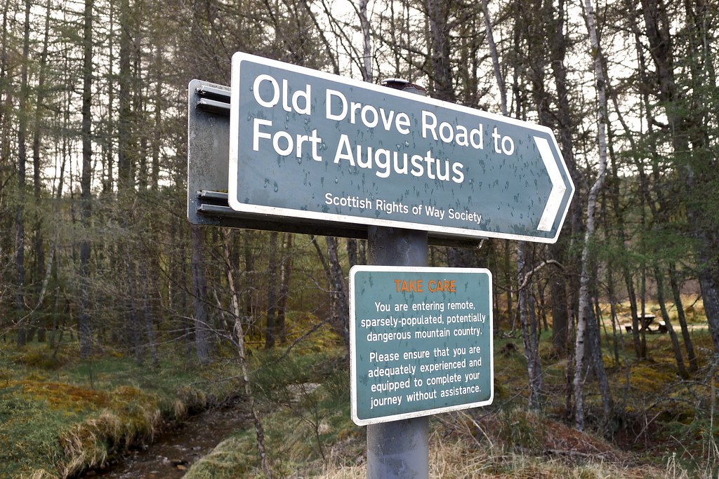
After following a grassy track for a short distance I crossed the main road and took a track signed to Fort Augustus by the Old Drove Road. I took the opportunity to use a picnic table at the track entrance to enjoy an early lunch and air the feet after the road walk. After lunch I continued, soon having to pass through a gate which marked the start of the Beauly-Denny power line upgrade construction area.
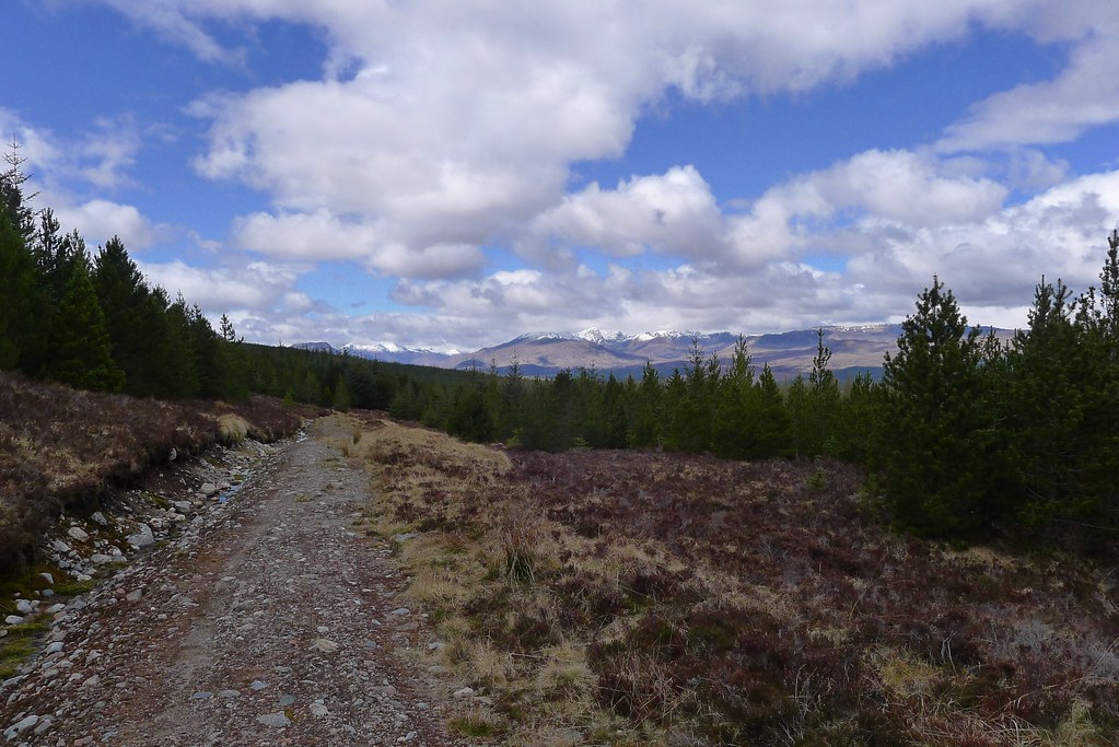
The track wound its way upwards through the woods with occasional breaks in the tree cover to give views westward down Glen Moriston. I reached the continuation of the Old Military Road and followed this much more pleasant track back east through the top of the woods until it eventually rejoined the construction road.
The next stretch was a little dispiriting with the new power lines causing a great big mess. I got through it as quickly as possible but was heartened to at least get friendly nods from the drivers of the various vans and trucks which were labouring up and down the gravelly roads.
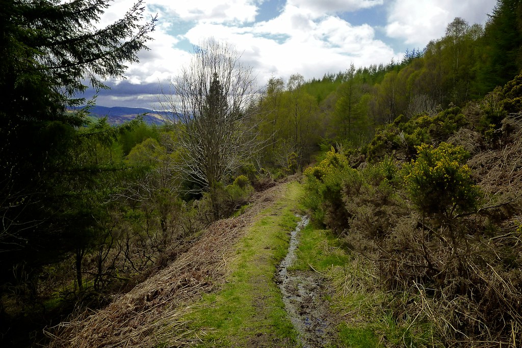
Finally I crested the hill and started the descent to Fort Augustus leaving the construction road to take a delightful track down a bunch of winding, grassy zig-zags to eventually reach the outskirts of the village which sits in the heart of the Great Glen at the southern end of Loch Ness.
After some final food by a quiet pool I braced myself for the return to civilisation. Strolling down into the village I was met by an array of tourist coaches and aimlessly wandering crowds, dotted with the odd Great Glen Way walker or two.
I had a Bed and Breakfast booked for the night but before that had to do my first re-supply. Even before that though I got myself a helping of fish and chips and wandered down to the south end of Loch Ness to enjoy a carborific lunch with superb views. I phoned Challenge Control and reported that I was on track and looking forward to heading into the Monadhliath. The stormy weather seemed to finally be done with and it was set to be much finer over the next couple of days.
The petrol station supermarket proved to carry everything I needed (except for hot chocolate sachets and couscous for which I had to make interesting substitutions) and with my sack feeling heavy once again I followed the Great Glen Way north to the edge of the village where I found the Three Bridges Bed & Breakfast. Here I was welcomed in with a comfy en-suite single room and a cup of tea (with real milk and several slices of cake - wonderful). Here I was able to unpack all my gear and do some washing and in the evening headed into the village for a pub dinner at The Bothy where I got chatting to a guy visiting from Stuttgart who was doing a coast to coast himself, only by mountain bike in his case.
Back at the hostel I phoned home and then had a second rather decadent hot shower before getting in between clean sheets and sinking into a deep sleep. Four nights of wild camping had brought me through the North West Highlands in one piece and now that the weather was feeling milder I was ready to start bagging some tops!

