Distance: 7.9 miles
Time: 4 hours
Hills: Clachnaben, Mt Shade, Threestane Hill
Meteorology: Fine early spring day with plenty of sunshine
As others have shown after the disaster that was Saturday, Sunday on the east side of Scotland was a beautiful day. Sunshine, blue skies and a frosty nip higher up. This was to be my first expedition in the car so something reasonably close by was selected. Inspired by L111CHT’s interesting route to Clachnaben we headed to the second car park, just by the AA Call Box on the B974 road towards Fettercairn (NO893650).
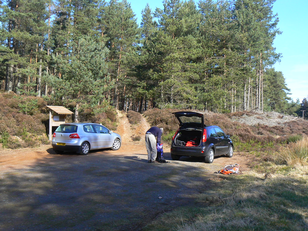
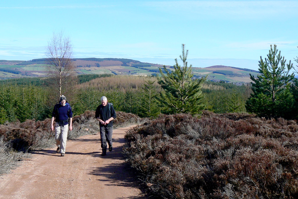
Booting up in warm sunshine was a great feeling and we were soon walking along the forest track, still boggy from heavy rain in the week, but feeling marvellous fresh and spring like.
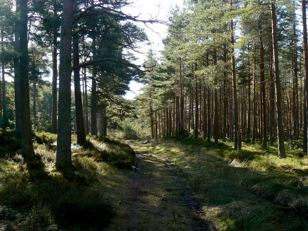
The track winds its way through the forest until it drops down to cross the Burn of Greendams via a small bridge.

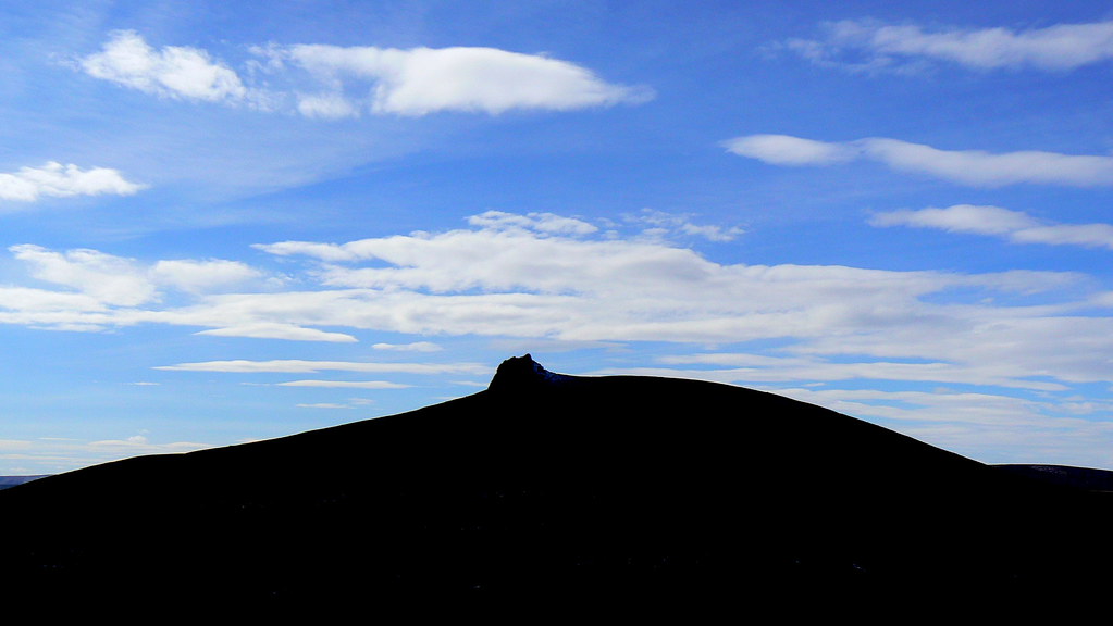
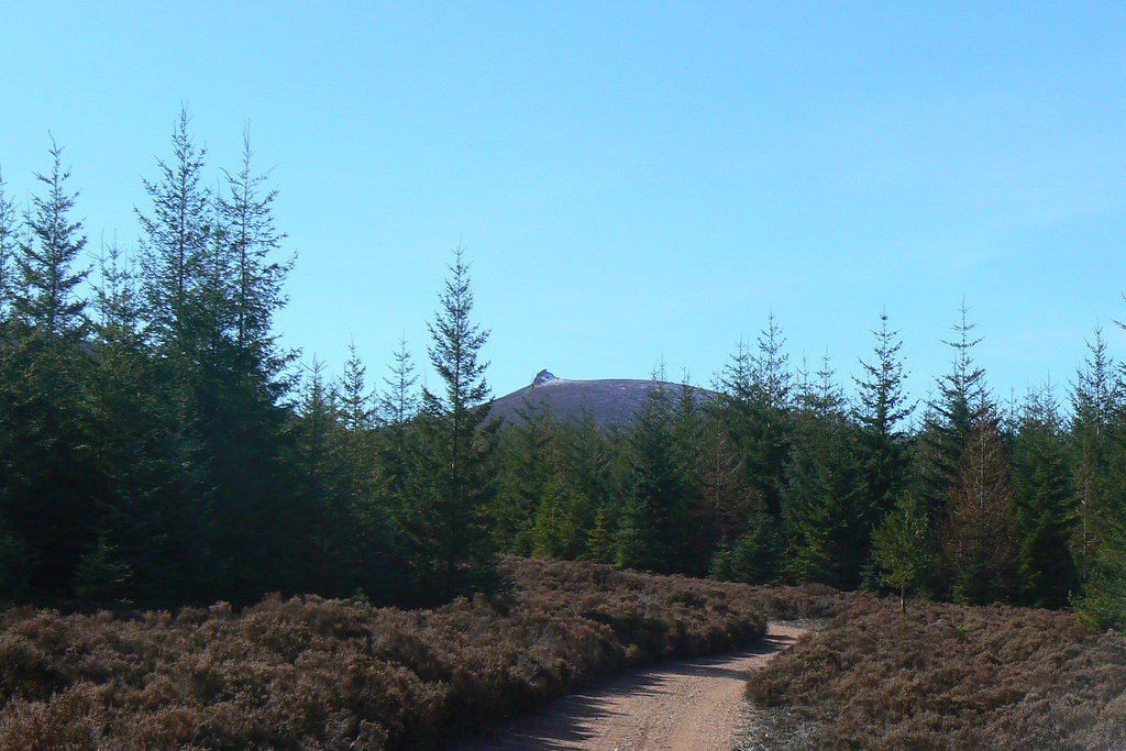
From here we should have turned left but instead continued on a posted track until we hit the crossroads at NO901641. Here we turned left onto a red cinder track which took us slightly further west until we eventually wound back round to the junction where L111CHT joined the track at NO895635. We now had beautifully clear views up to Clachnaben and Mount Shade.
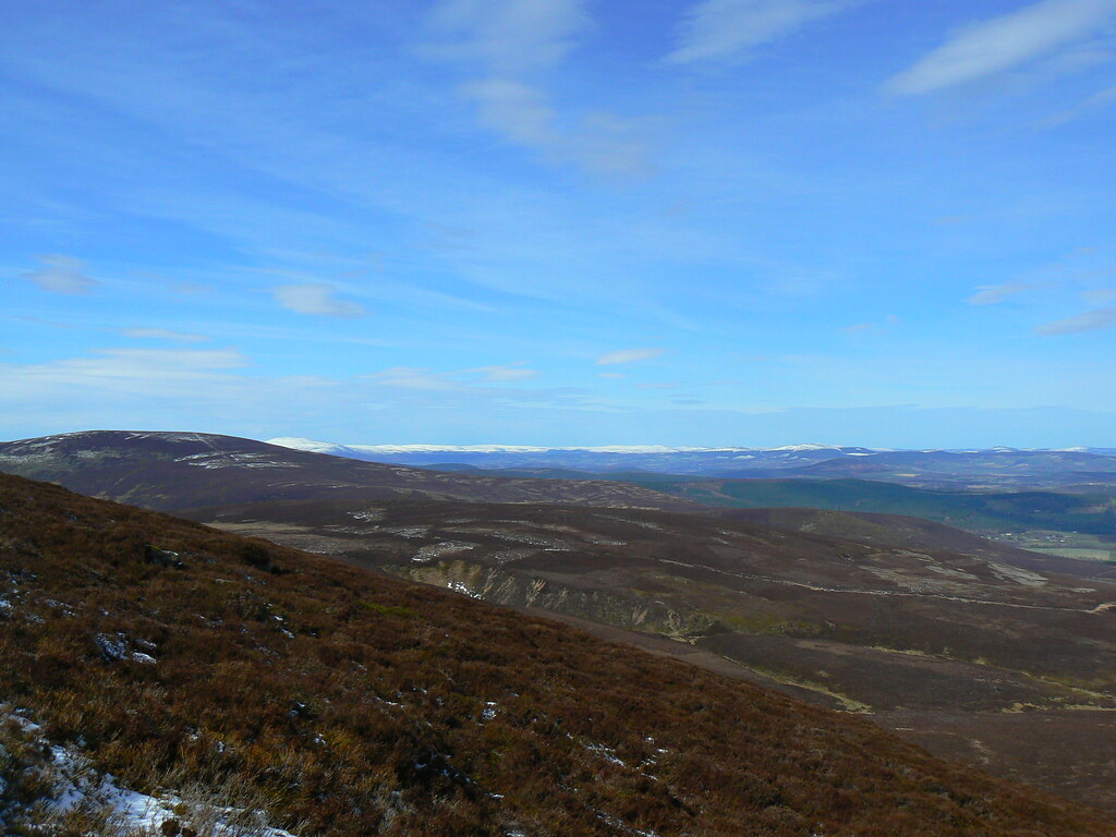
After crossing a large stile and admiring the view onto a snowcapped Morvern we began the climb up to Airy Muir.
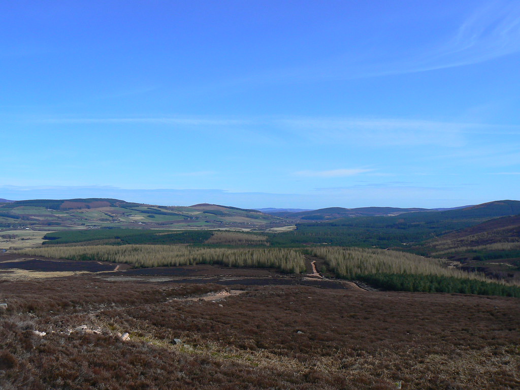
The views back onto the woods were lovely and the fresh wind cooled us down. Further up the track we paused for a bite of lunch.
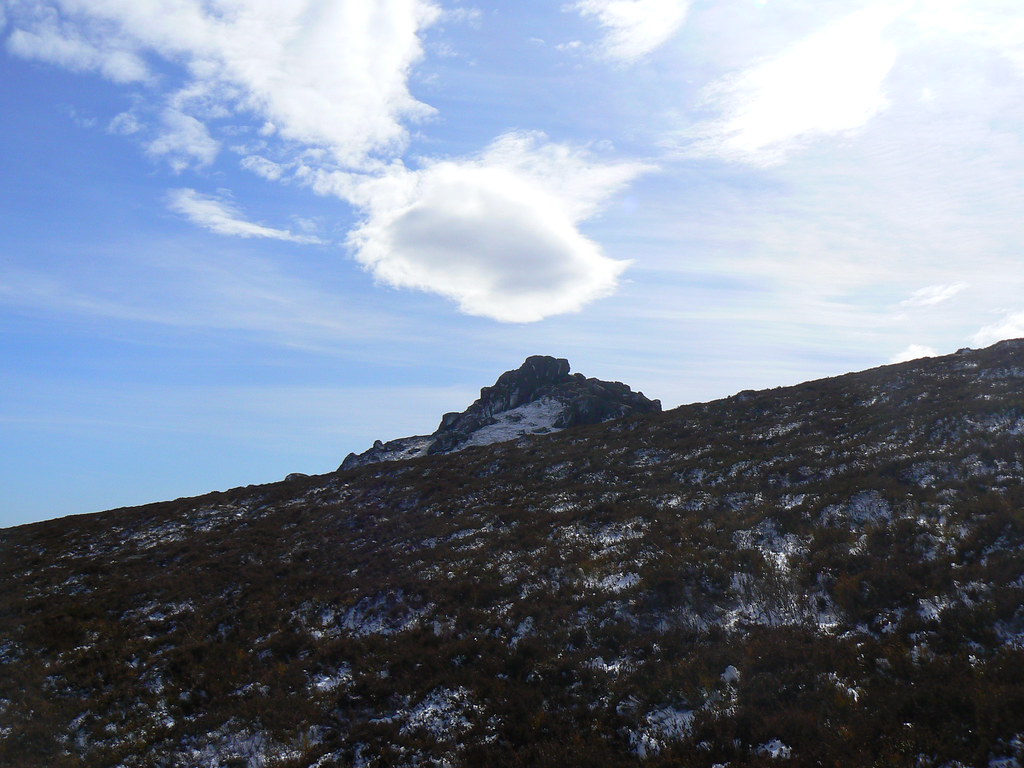
Above our lunch spot a small path branched away from the vehicle track at NO882617 and dropped into the gulley between us and the heathery slopes of Clachnaben. We took this route and then heather bashed up to a track further up that would eventually lead to the summit tor.
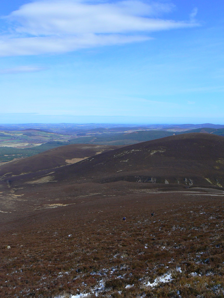
I didn’t take this easy route though and continued up the steep snow covered slopes, pausing occasionally to catch breath and take in the views. Through a dip in the hills Aberdeen came into view.
The views from the summit of Clachnaben were well worth the slog. It was beautiful in every direction with snow-capped peaks unfolding to the west, close by Mt Battock and further off Morvern and the Mounth foothills. To the east the landscape was soaking up the sunshine.
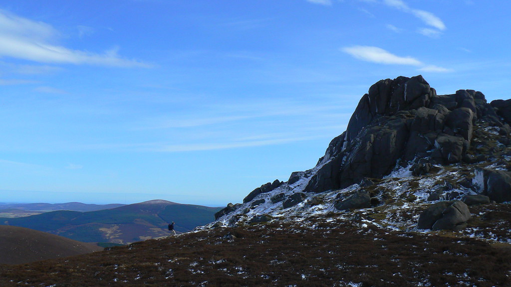
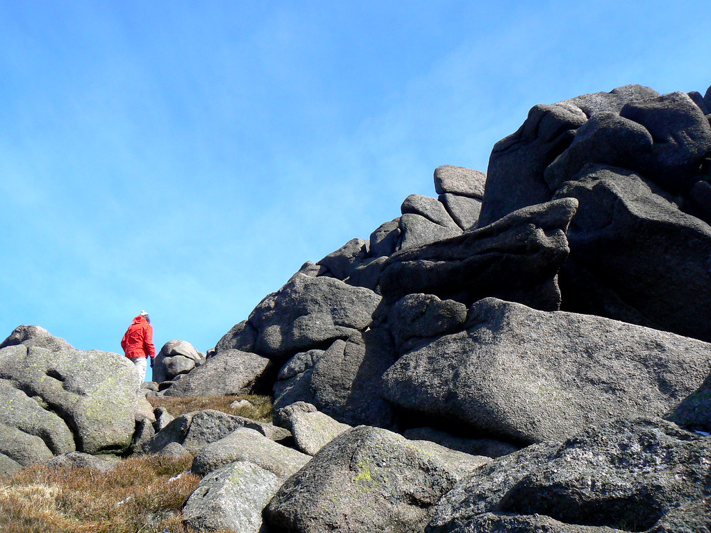
We scrambled up the icy tor to enjoy the views and blow off the cobwebs. There were a couple of other people about but nothing like the usual Clachnaben crowds. This seemed unusual for a sunny Sunday.

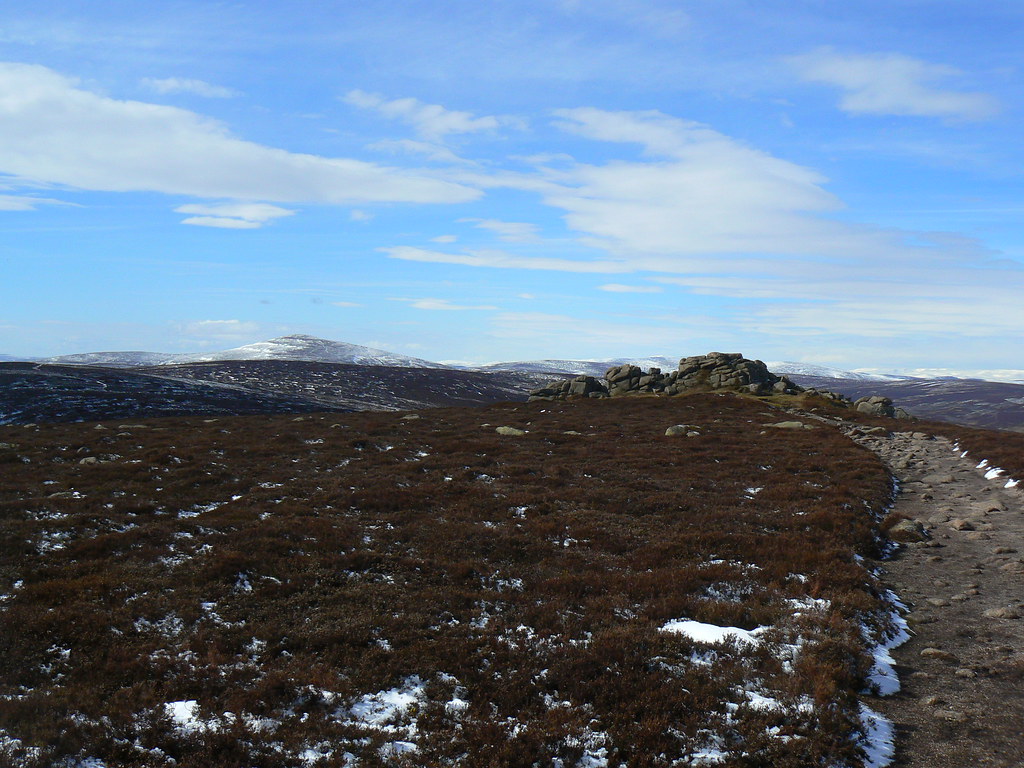
From here we enjoyed a brief scramble on the lovely dry granite before going round the base of the tor until we picked up the main highway up from Glendye.
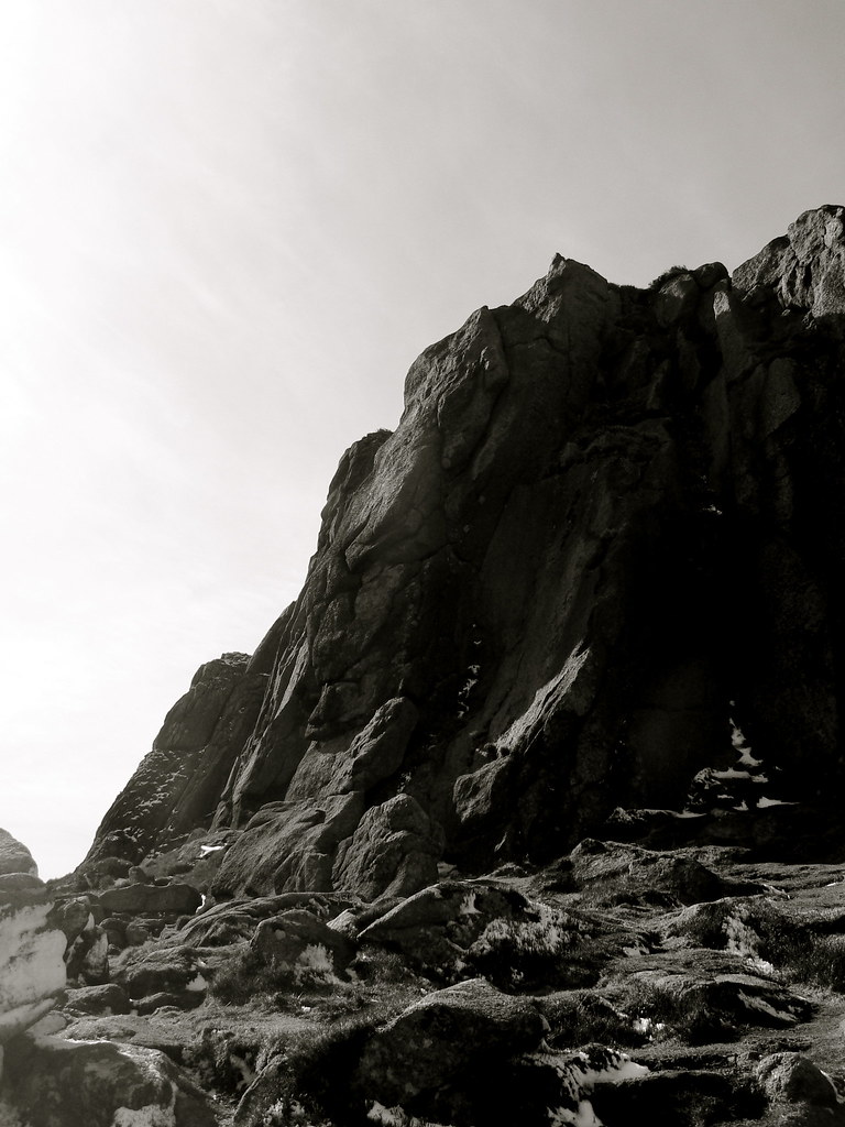
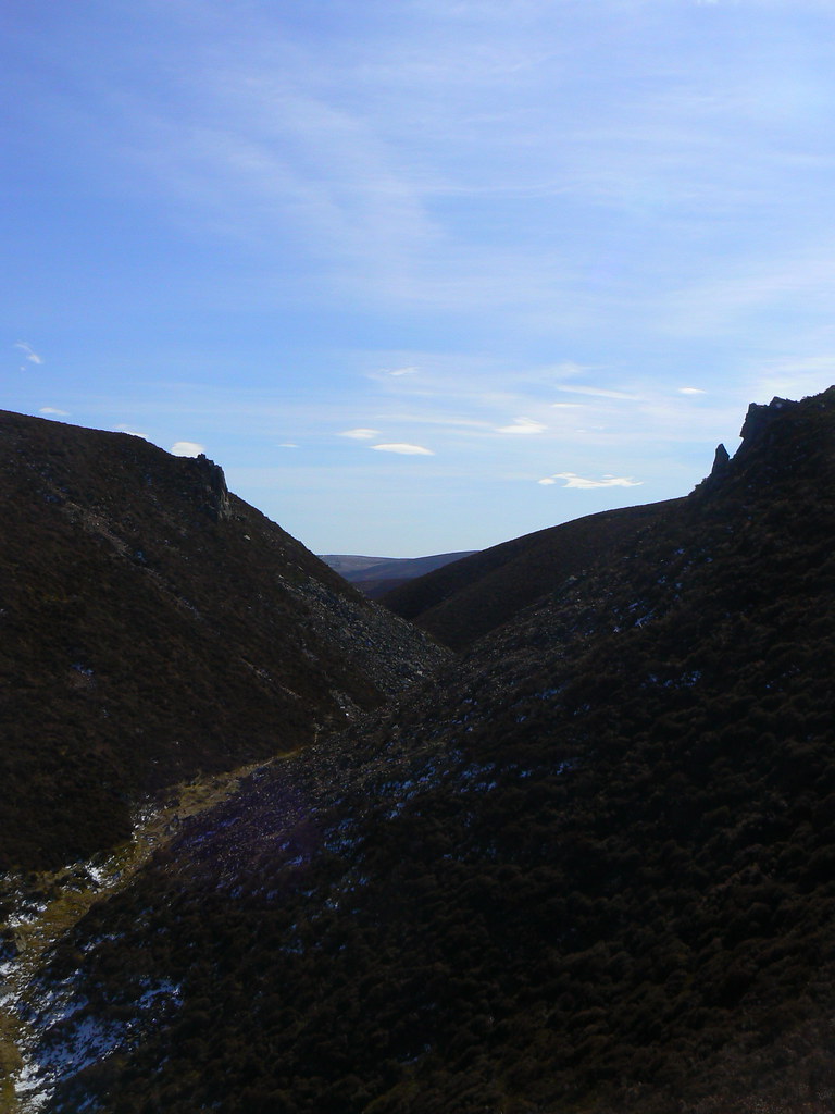
We followed this down a short distance before branching off on the path to Mt Shade. This dropped us into an impressively steep-sided gully before climbing back up to the small summit cairn.
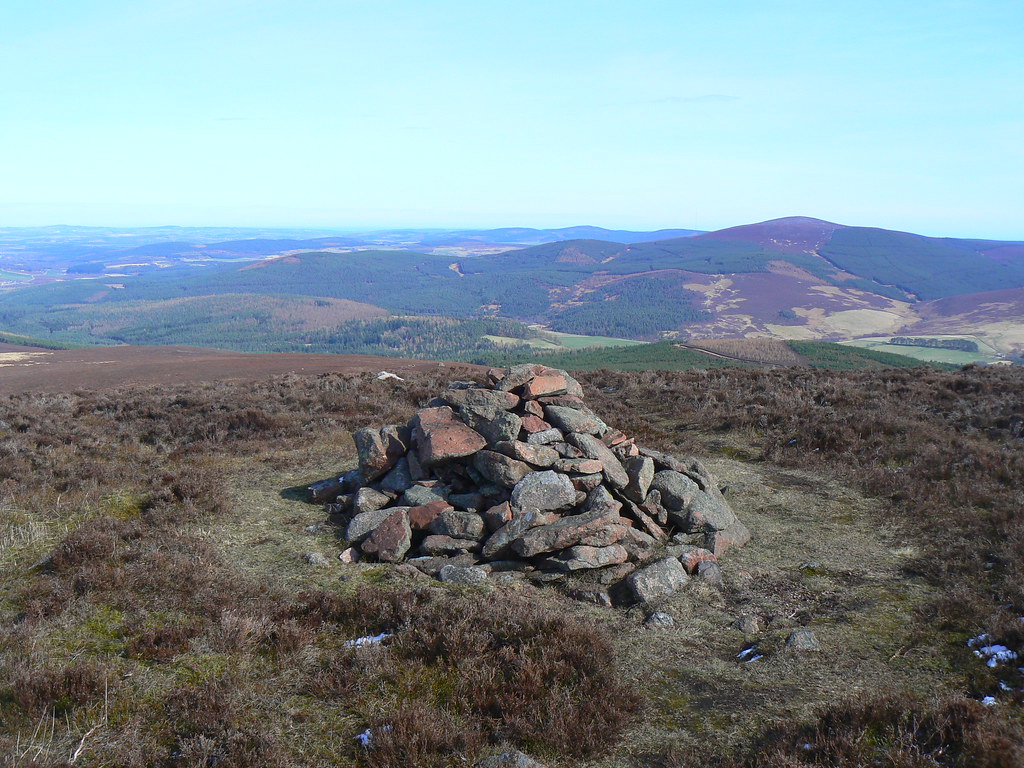
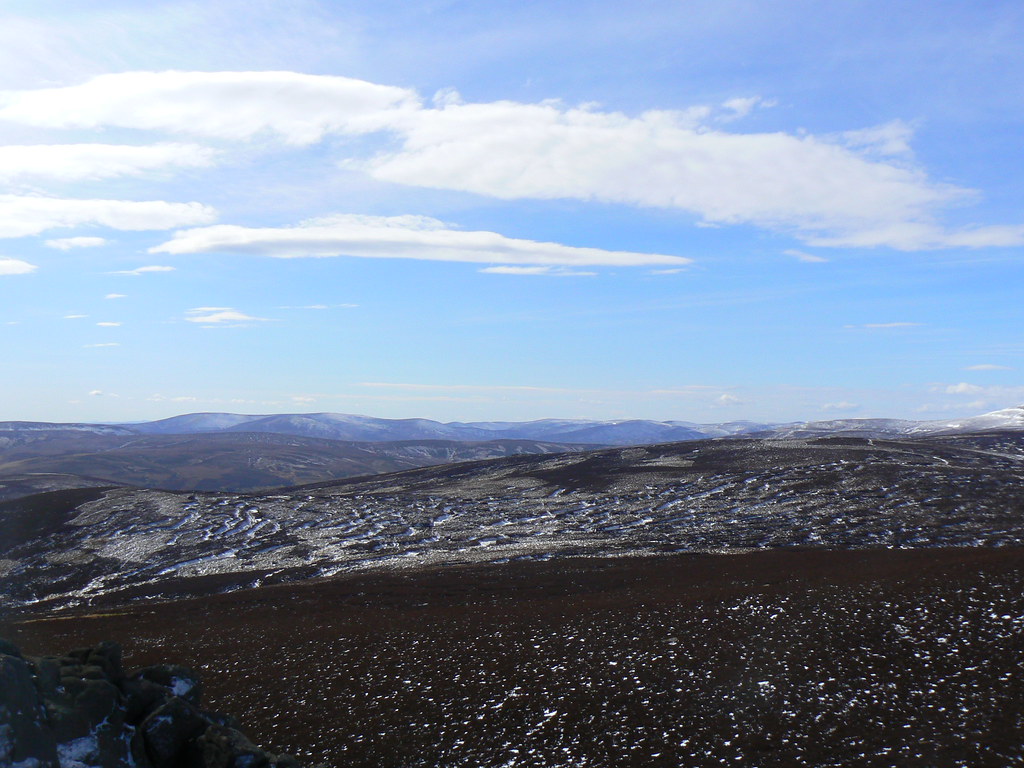
We had lovely views back to Clachnaben and further out across the lush fields of Glen Dye below Kerloch.