Distance: 3.8 miles
Time: 2 hours
Hill: Dumyat (418m)
Weather: Overcast with occasional rain show
What Dumyat may lack in height it more than makes up for in steepness and craggyness. Although there is a fairly straightforward route up this wee hill just to the west of Stirling we chose a more eccentric route, heading steeply up its western gorge before traversing the south face just below the crags and then scrambling up to the summit.
Leaving the car park on the main road we turned left and followed a winding track along behind a few houses which marked the outskirts of Blairlogie. Almost immediately the ground rose steeply and we followed what appeared to be nothing more than a sheep track up the steep sides of one of the great gullies which slash south-north into this hill. The cloud was low and the occasional spots of rain were falling.
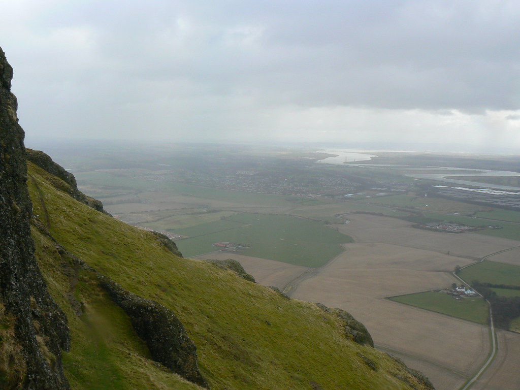
As the gully steepened and then split we crossed across to the flanks of Dumyat, already having gained a good amount of height. We now picked our way across a track that brought us below the main craggy summits. It was a delightful feeling of exposure at times (crossing gullies we could see the road almost between our feet) and with a strong wind we had to carefully negotiate a few of the trickier rocky sections.
After navigating around the final huge gully which separates the subsidiary top from the main summit we headed directly up a mixture of grass and scrambly rocks to emerge on the summit plateau very close to the beacon which marks the top of Dumyat.

The wind here was incredibly strong and after a short conversation with a downhill mountain bike with sheltered on the eastern side of the beacon had enjoyed a drink and some homemade cake.

As we were eating the views improved somewhat, particularly to the north where the Lawyers group could be seen as well as Ben Ledi and the mountains around Crianlarich. We didn't spend too long in the wind though, instead dropping down a steep route running east towards the main Ochils range. As we did the sun came out properly and we enjoyed beautiful views down over the Forth where dramatic clouds were sweeping rain down through the lowlands.

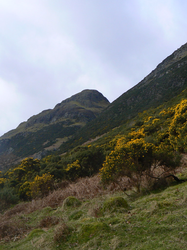
We picked up a good track which presumably services the water storage tanks located further up the hill. This took us down below Dumyat giving good views back up the gullies set up nicely by a foreground of bright yellow gorse.
We arrived back at the car approximately 2 hours after starting and were back home in time for lunch. This hill definitely has a lot to offer and given its convenient location is definitely one to visit again.