Time: 9 hours
Distance: 12.5 miles
Ascent: 6,000 ft
Munros: Sgur Eilde Mor, Binnein Beag, Binnein Mor, Na Gruagaichean
Weather: Early sun, later rain showers, cloud and cool temperatures
Route: View on OS Maps
There is nothing better than having a mere ten mile drive to get to the start of a walk, but the icing on this particular cake was that these particular ten miles were done in sunshine and with the stunning scenery on either side of Loch Leven to admire. From the hostel at Inchree it was only a twenty minute drive along the northern shore of the loch to the turning for Mamore Lodge. I drove carefully up the single track access road to the Lodge, arriving just after 8am where the only person awake to take my £3 parking fee was the housekeeper. It was a beautiful morning but I set off quickly as the midgies were already out in force and not being particularly friendly.
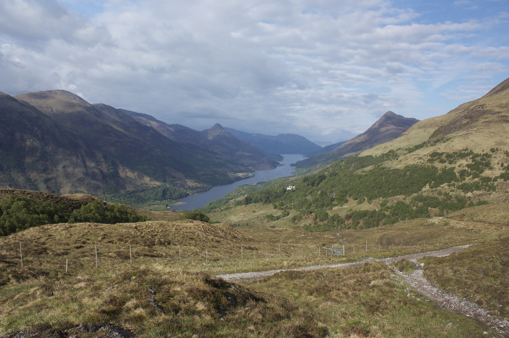
From the lodge a landrover track leads eastwards towards the hills. At the cottage a minor track diverts you for a short distance before you re-join the main track beyond the buildings. Then, after less than a kilometre, a small flattened rock indicates a side track which drops down into the gorge of the, crosses the stream and then brings you back up to the landrover track on the east side of the burn, having missed out a sizeable loop as the track climbs steadily up. There is a bench placed here which gives brilliant views over the Lodge to Loch Leven and the Pap of Glencoe.
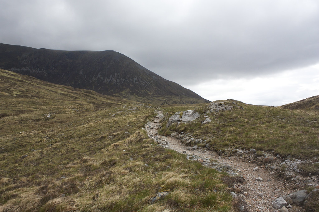
As I followed the track which skirts south of the lower slopes of Na Gruagaichean cloud steadily built until the skies were grey and sombre. It hadn't started raining yet though and I soon found the excellent stalkers path which leaves the landrover track and climbs up to the high Coire an Lochain with views extending out over Loch Eilde Mor and the mountains of Glen Coe beyond.
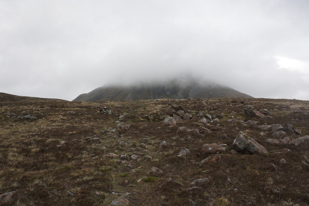
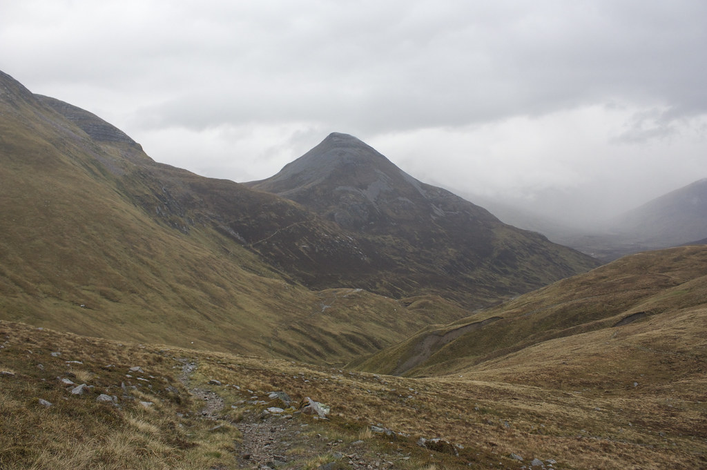
As I crested the wide coire I could see that my first target of the day, Sgurr Eilde Mor, was shrouded in cloud from around 800m. No matter though as I crossed the peaty bealach and ascended the bouldery southern shoulder.
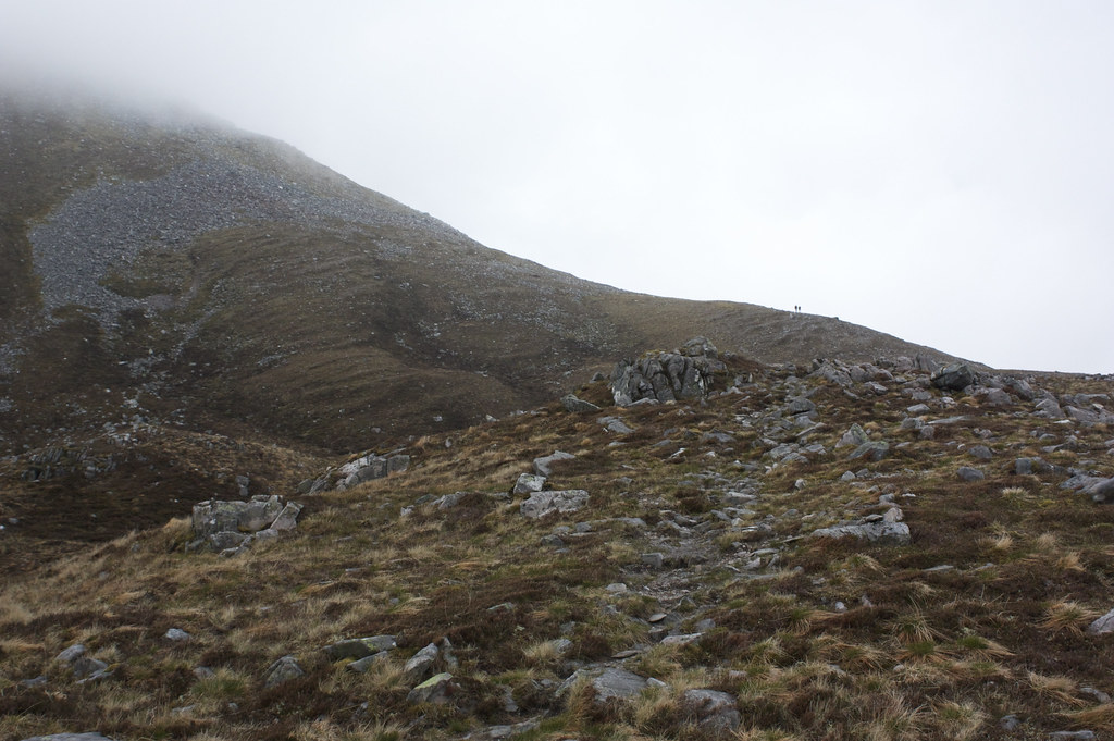
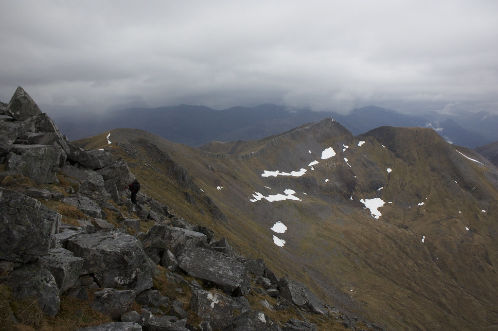
A path occasionally appeared out of the shattered rocks but largely I found my own way up the steep slopes. Eventually a misty summit cairn came into sight. I got fleeting views down to Binnein Beag, though the higher Mamores were still holding onto the cloud well.
I continued north on the summit for a short distance before the clouds parted to show me a reasonable descent route. In the end the first part was steep and bouldery, traversing a snow patch and then down more rough boulders until I finally picked up a good track which took me back down to the north shore of the lochan and a crossroads.
As I descended the drizzle encountered on the summit had become persistent and heavy rain. In full waterproofs I stood surveying the gloomy panorama, wondering whether to continue or take a lower level route back to the car. In the end I decided to follow the good track north to Binnein Beag and at least ascend that hill before heading back.
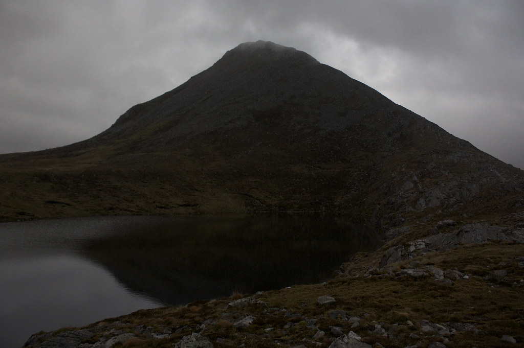
The track here is excellent and got me very quickly up to the small lochan that sits below Binnein Beig. Again though views of the mountains itself were few and far between. I followed the track as it headed up the curving south-eastern ridge of the mountain, climbing again through boulders and with a short, scrambly section near the top. It wasn't long before I was at the cairn and the summit shelter where I paused for a snack and a wait to see if a view would appear. It didn't.
After ten or so minutes I headed back down to the lochan. Of course the mist slowly lifted and by the time I was back down the summit was clear.
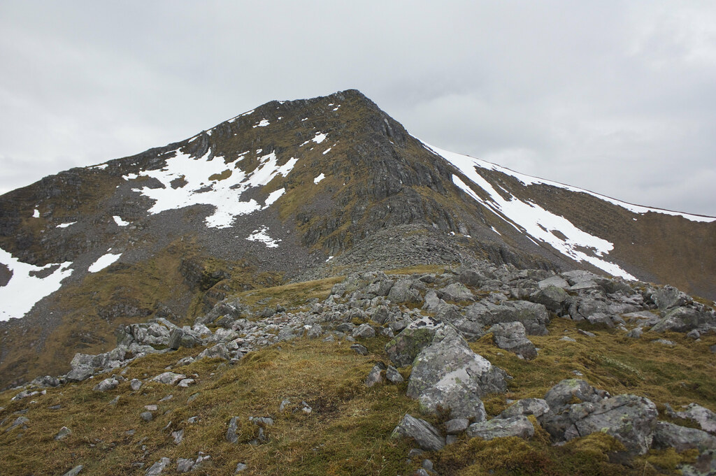
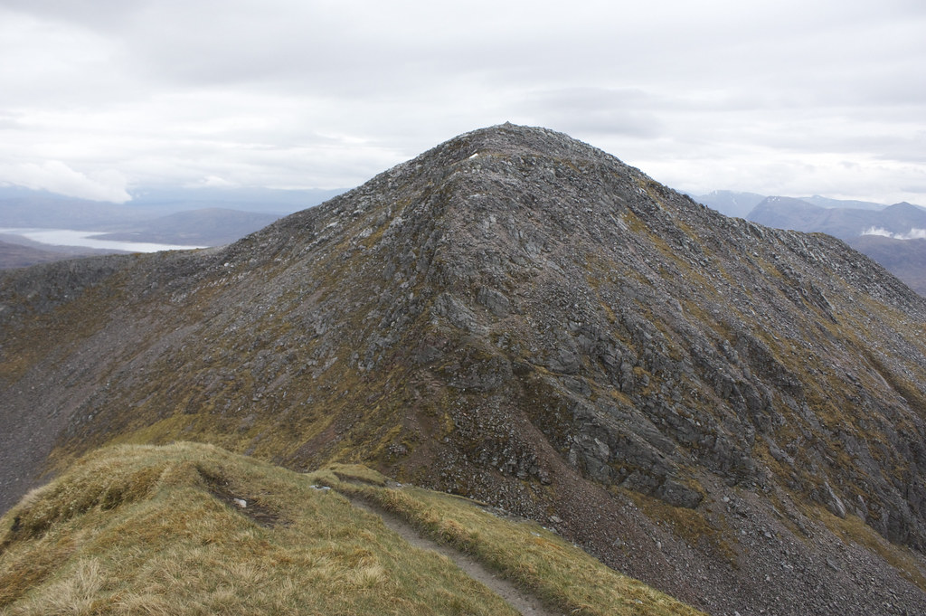
This corresponded with a general brightening all around and though I initially took the track back towards the coire below Sgurr Eilde Mor and the easy route out, I then cut up the steep slopes of Binnein Mor's central north-facing finger. This had a crest of crags which I kept to the right of and soon found myself on the ridge leading to the final awe-inspiring face of Binnein Mor. There were views back onto Binnein Beag, already looking very small, and to the north I could begin to see the Ben.
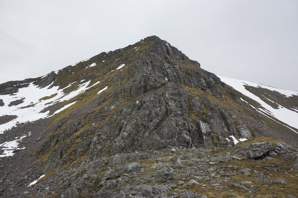
This was a very intimidating feature with layers of rock folded and contorted into impossible, near-vertical positions. I skirted around the base until I came across a slightly friendlier route of ascent.
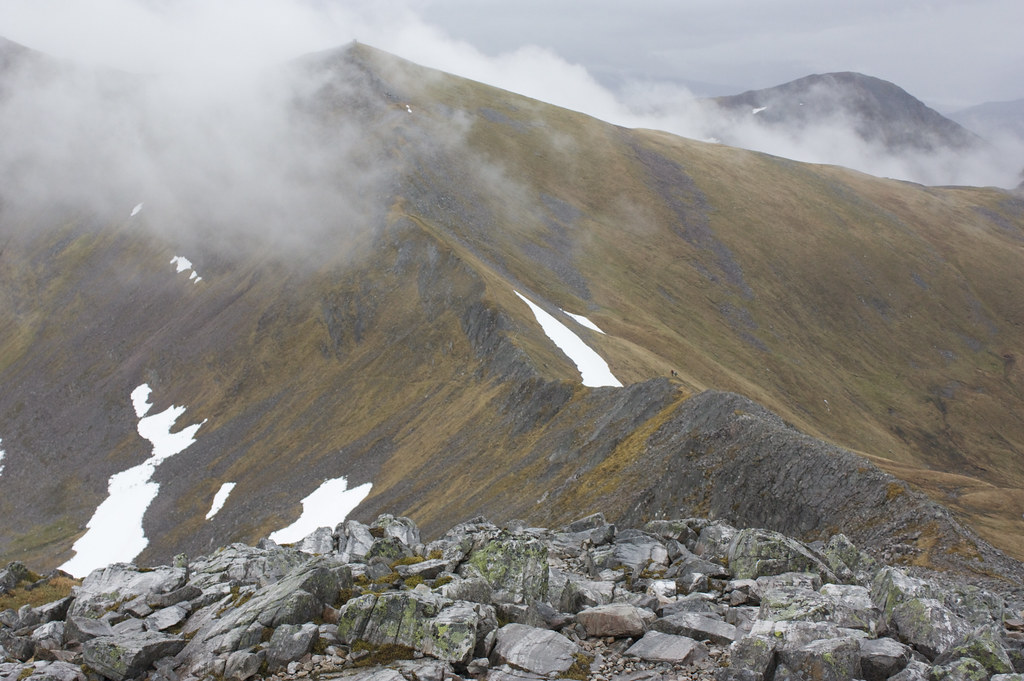
This was up a very steep and damp gully that had occasional traces of a path. I didn't look down much as I climbed and hands were used to clamber up several sections. It eventually brought me out just a few metres north of the summit of the mountain, a hugely impressive knife-edged crest that was strung with blocky rocks and boulders. I clambered along to the summit, revelling in the views all the along the sinuous crest of the Mamores range. To the north a snow-spattered Ben Nevis towered over Carn Mor Dearg.
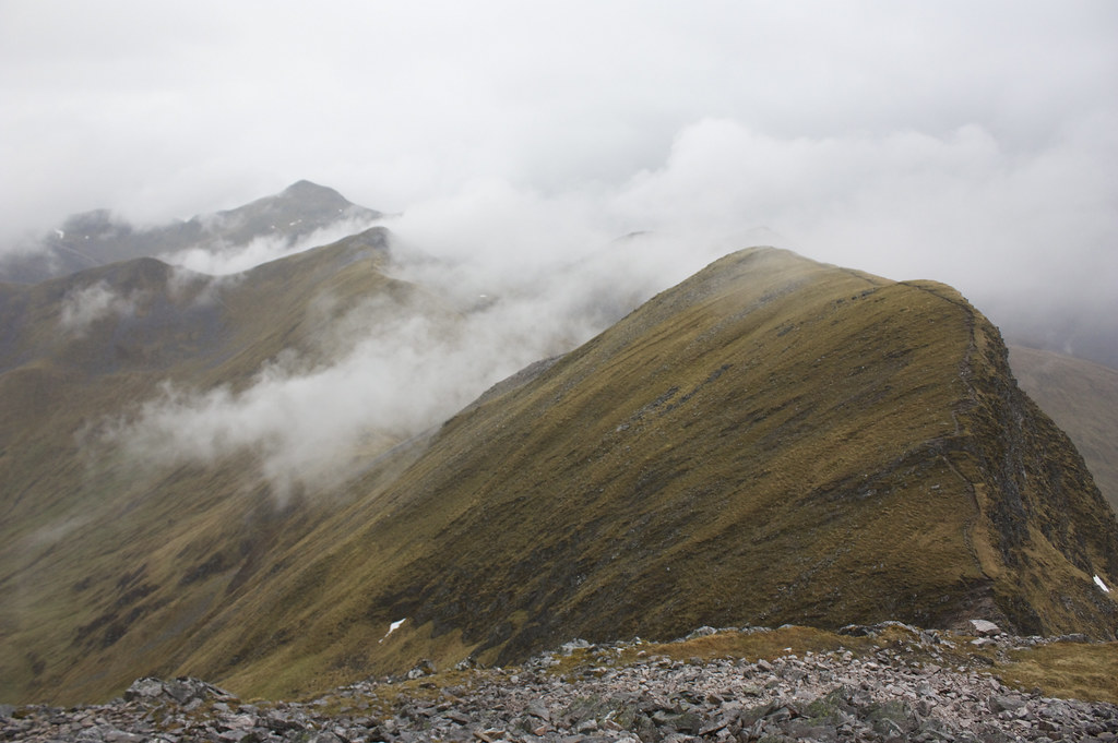
From here my plan was now to follow the ridge as long as my deadline for a dinner appointment would allow. It remained cloud free as I went over Binnein Mor's southern top but then clag came in again as I worked my way towards Na Gruagaichean. I passed a few people coming the other way on the ridge though it was getting late in the day.
I climbed up Na Gruagaichean in a cloud but only seconds after reaching the summit it blew through and I once again was treated to a spectacular view from this airy perch. I could now see the next bealach and the line of a track leading off it. Given the time this was going to be my descent route with the next two Munros to be left for another occasion. Behind me Binnein Mor came out of the cloud and I got some great views down over Loch Leven.
There is a very steep and notched gap between Na Gruagaichean and its north-west top. The final few feet are badly, badly eroded with gritty, damp red rock forming a delightfully slippy way down. The other side is better but still involved some scrabbling up very loose rocks. Nevertheless I was soon over and dropping down to the bealach where a cairn marks the way down.
I enjoyed the final walk along the grassy ridge with the central Mamores stretched out in front of me. I can't wait to come back and explore this area some more. Behind me the Glen Coe hills were also becoming free of cloud.
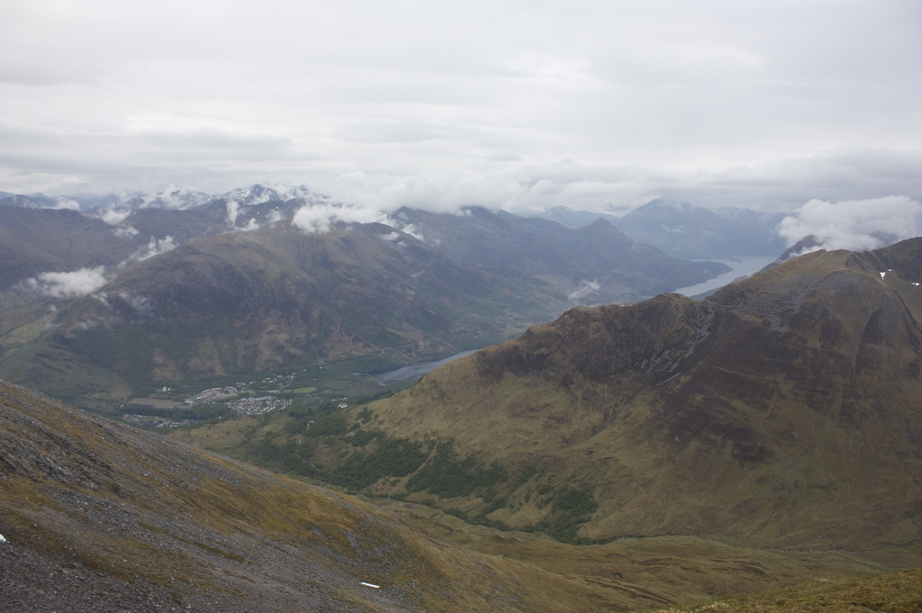
As I descended off the ridge I had good views down towards Kinlochleven.
The track itself is excellent, cutting across the steep slopes in a long, steadily falling loop that does add on some distance to your day but makes from some very easy going.
I enjoyed the last views onto Am Bodach, made my way through the boggier lower section and was back at Mamore Lodge just over 9 hours after starting. A half hour drive got me back to Inchree and a well earned pint of Red Cuillin at the pub.
