Distance: 20.98 km
Ascent: 897 m
Time: 6hrs 24mins
Munros: Carn Aosda (917m), The Cairnwell (933m), Carn a' Gheoidh (975m)
Weather: Early cloud and hill fog improving to sunny spells later in the day. Very light but cold northerly wind.
Route: View on OS Maps
The fact that I stumbled off a doorstep onto a cold, dark Aberdeen street at 6:30am on Saturday morning would perhaps give you the wrong impression of my Friday night. In fact, I had spent a perfectly civilised evening playing board games and eating sushi. The early start was eased by the fact that I only had to walk the ten minutes along to the meeting point for October's Stocket Hillwalking Club Saturday walk.
At just after 7am we rolled out of Aberdeen, heading along besides the River Dee with 21 Stockets on board. I was helping out today so was up and down the bus for the first part of the journey, collecting money and then talking people through the day's proposed route. At Ballater we stopped to pick up the club's President, and fuelled up with delicious pies and hot coffee at the bakers (second breakfast).
It was grey and cold at Ballater but as we moved further inland occasional breaks could be seen and there was blue sky over the Cairngorms as we passed through Braemar towards our dropping off point below the Pass of Glenshee at Baddoch.
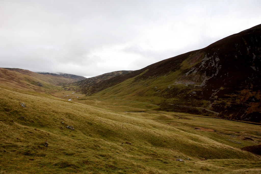
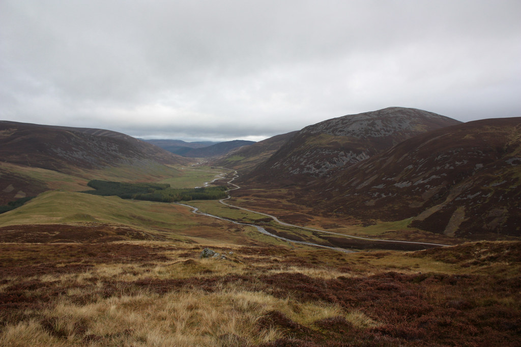
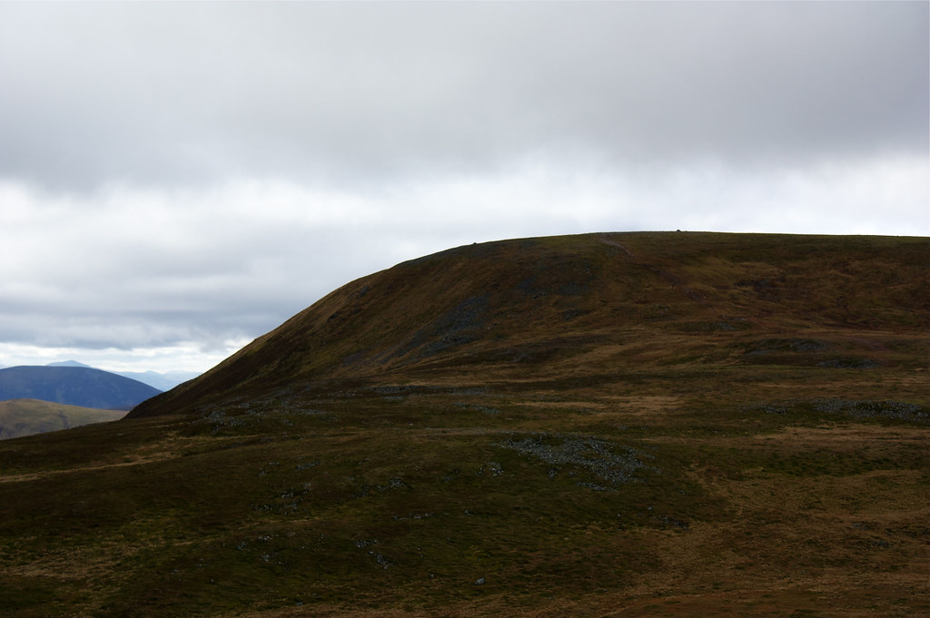
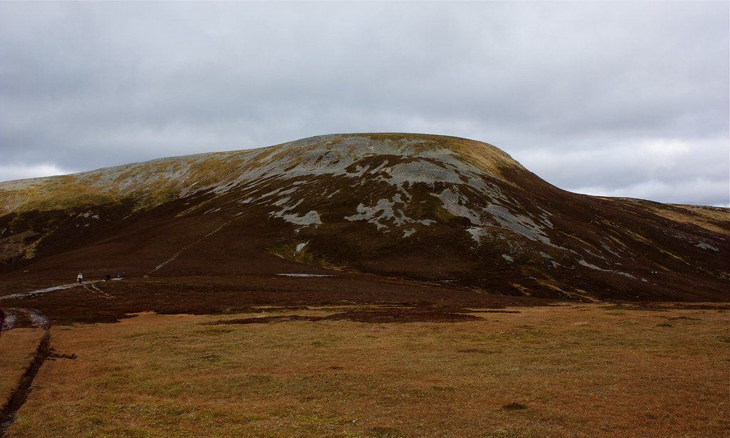
Under sombre skies, and with limited room by the side of the A93, we were quickly kitted up and moving down the vehicle track which runs alongside the Baddoch burn. As we approached the farm building at Baddoch itself we turned away from the track, climbing a hillside that was at first steep and grassy but soon had us up on to the long northern ridge of Carn Aosda.
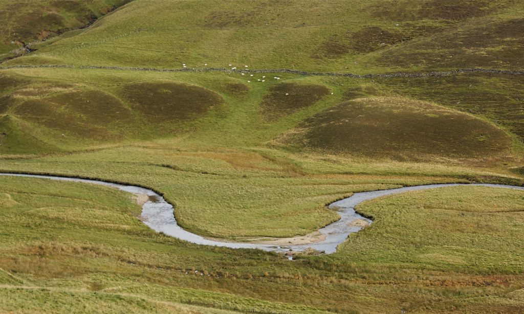
Initially a muddy track was followed up to Carn Chrionaidh where we saw a herd of deer with accompanying stag on the skyline. Up until that point we had heard their bellows echoing along the sinuous line of the Baddoch. After this though the ridge became a delight, a short and springy carpet of clipped heather with a winding track that climbed delightfully above the Dubh-Coire.
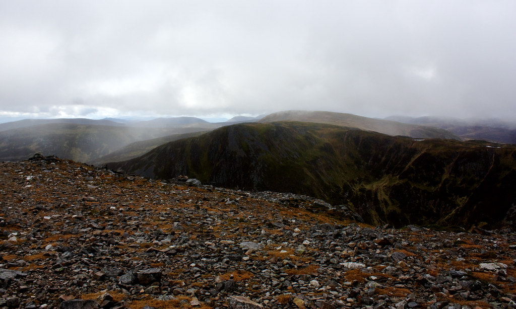
Across to the east the tops beyond the A93 road were shrouded in a gloomy cloud. We too were climbing into it as we approached the quartzite slopes below Carn Aosda. After a short descent we climbed up the coire that separates the eastern and western tops of the first Munro of the day. With very little effort we were at the summit cairn.
There wasn't much of a view to speak of as we munched on elevenses and so we were pretty soon heading back along the track, picking up the route which skirts around the top of Butchart's Coire. Occasionally the ski centre paraphernalia loomed eerily out of the mist. Fortunately the signs were promising as in front of us dark shapes slowly resolved themselves into our route ahead. Loch Vrotachan was particularly still as we passed it to the east.
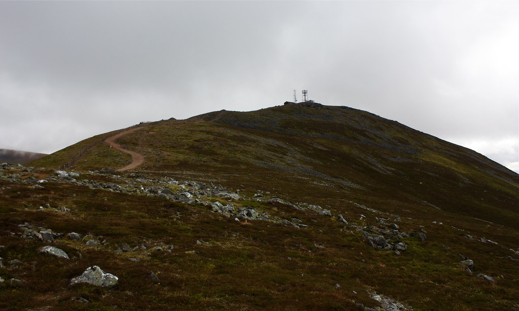
Only a few minutes later we climbed up the track that, along with power and communications cables, runs up to the summit of The Cairnwell, our second Munro of the day.
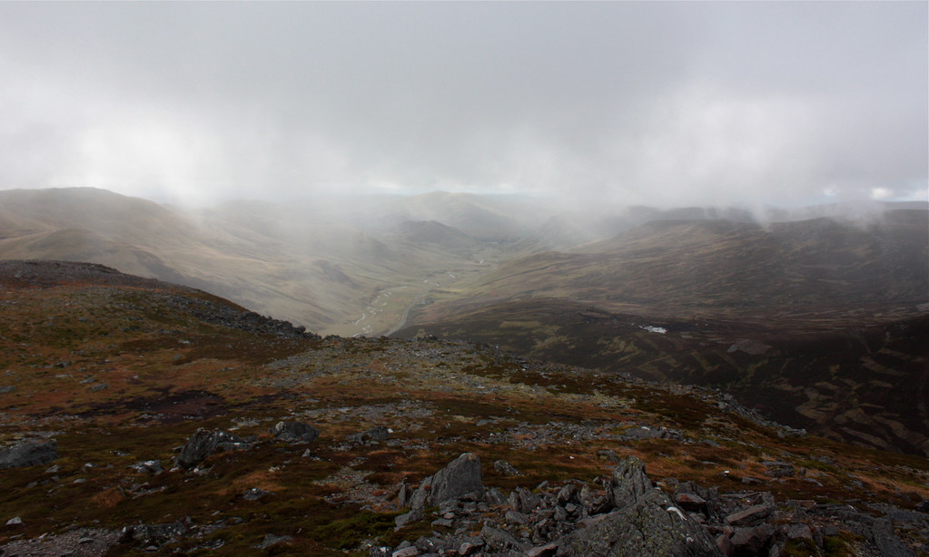
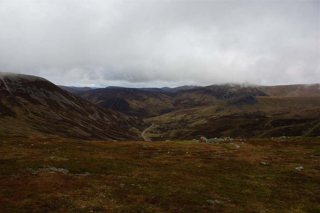
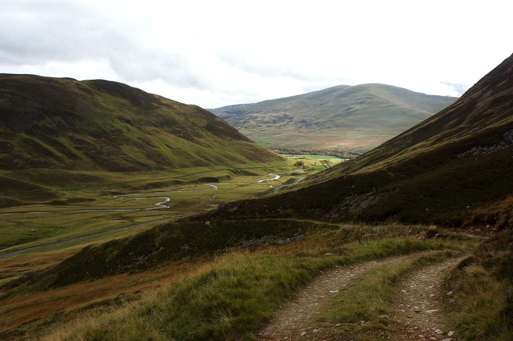
The top of The Cairnwell is strewn with rocks, cairns, buildings and masts and is really quite a mess. Luckily it was possible to continue a short way to the south to escape much of it and gaze down the long stretch of Gleann Beag which drops down from the pass to the Spittal of Glenshee, our final destination for the day. There were showers grazing distant hilltops but everything was definitely getting clearer despite the unnerving lack of wind.
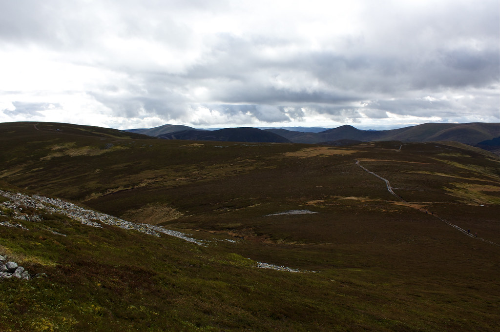
We then retraced our upward steps back to a branching path that headed away from Butchart's Coire to join the long, meandering ridge that connects The Cairnwell and Carn Aosda to Carn nan Sac, a subsidiary peak of the third Munro of the day, Carn a' Gheoidh.
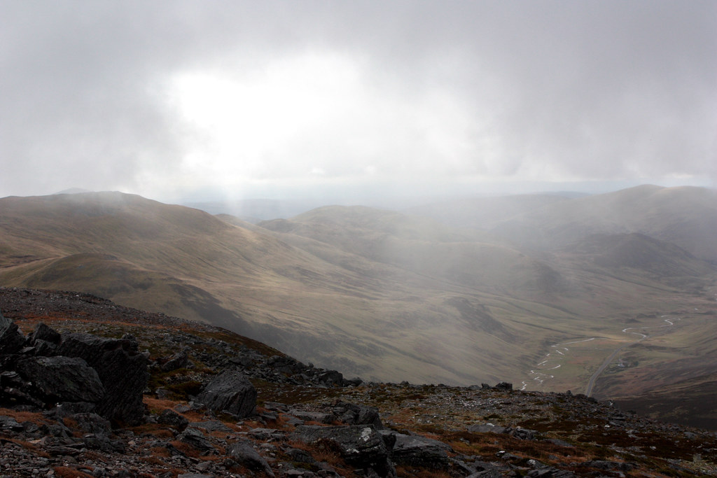
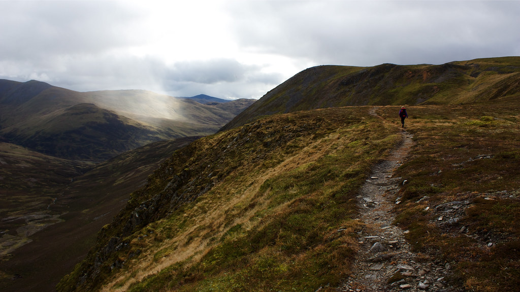
This part was one of the most enjoyable sections of the hike. As the clouds began to properly clear, the landscape was slowly revealed, peaks resolving out of shades of grey and white.
To the east the sunlight was breaking through, casting spectacular rays onto the glen and mountains beyond.
We made our way around the ridge to the summit of Carn nan Sac. This has a number of cairns but we chose the most easterly of them to stop for lunch. This afforded fine views out to the south and the east.
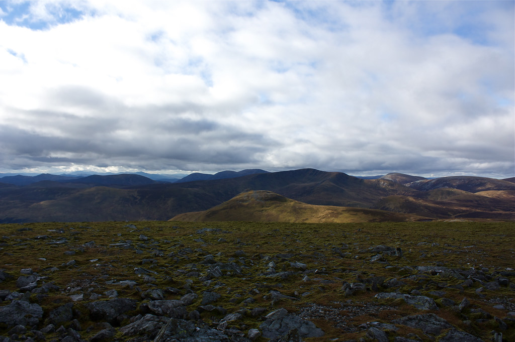
From here it was a gentle amble along the wide, grassy plateau to the final climb up to the summit of Carn a' Gheoidh. By this time there were flecks of blue sky to be seen and the visibility was superb. The nearer hills in the Glas Tulaichean group were easy to pick out, and beyond them the three humpbacks of Beinn a' Ghlo could be seen. Even further away was the distinctive shape of Schiehallion. To the west we could see Lochnagar, Carn of Claise, Carn an Tuirc, Glas Maol and Creag Leachach with the hills above Blair Atholl, including Mount Blair, visible to the southeast. To the north the Cairngorms were being picked out by bright afternoon sunshine, all the way around from Cairn Toul to Ben Avon.
After spending a fair few minutes enjoying this marvellous panorama, helped by the fact that the wind was very light and the sun was shining, we dropped off the south side of Carn a' Gheoidh to continue our north-south traverse.
The mountains long, broad southern ridge extends across a number of lumpy summits until it meets the Corbett of Ben Gulabin. Recent stalking activities have brought a vehicle track much of the way up this ridge and it was this that we followed back down, enjoying the views of the hills around Dalmunzie.
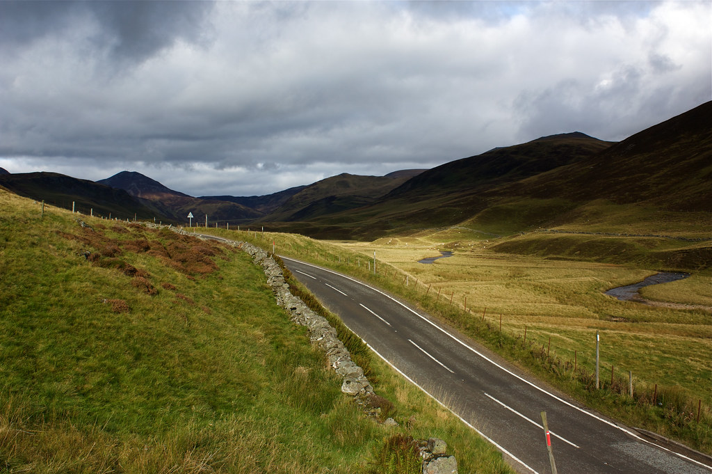
We passed the track that leads up to the summit of Ben Gulabin but the thought of a pint or two at the Spittal hotel was too much and we were drawn onwards, dropping down the track to meet the A93 just a couple of km short of the Spittal. We then had to pick our way along the road, avoiding the tarmac as much as possible and enjoying a last view back up Glen Shee.
We arrived at the hotel at the very civilised hour of 3:30 and were able to while away a good couple of pints in the bar where a roaring fire kept everything cosy. It was then back on the coach for the ride back to Aberdeen. Another excellent and enjoyable Stocket walk was completed - next month we climb the Buck of Cabrach and a completely new hillwalking area for me.

