Distance: 21.39 km
Ascent: 746 m
Time: 6hrs 58mins (including stops)
Hills: Kerloch (534m)
Weather: Beautifully clear and crisp winter's day
Route: View on OS Maps
The civilised 8am start, as dawn broke over Aberdeen, coupled with a continuation of high pressure and a promising forecast brought out a healthy crowd of folk for the first coach walk of 2011. The large coach made the journey through the back roads south of Banchory quite exciting, but after only one wrong turn, plus the sight of Doug sprinting down a lane, we arrived at the drop-off point just to the west of Knockburn Loch.
We were soon booted up and heading south on a broad track that led directly to the foot of Kerloch. Above us streaks of denim-blue cloud were fizzling away in the rising sun and the skies were increasingly clear. Underfoot the ground was hard, and frozen puddles were to be avoided if you weren’t up for trying out some gymnastic manoeuvres.
A steady pace was set by the leaders and we were soon climbing up towards the tree line with the town of Banchory now visible in the wide valley of the River Dee. The sunlight was lighting up a patchwork of fields, deceptively green for late January.
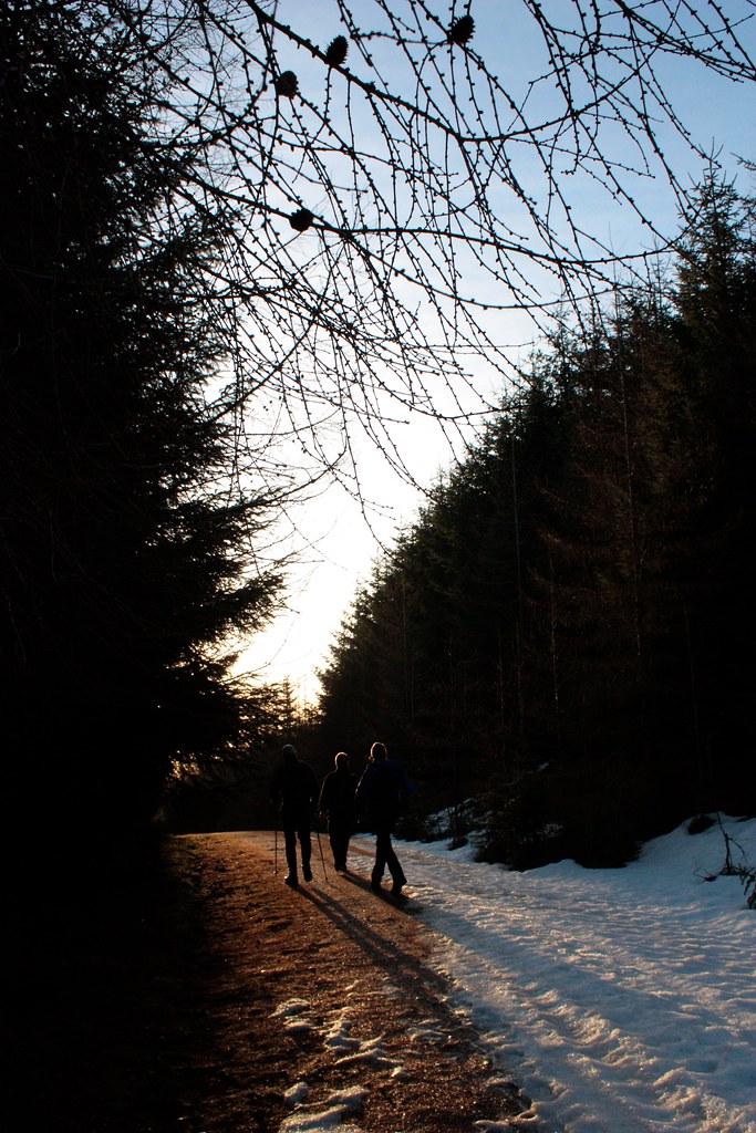
After a slight pause we made our way up the zigzagging track, now with increasing levels of hardened snow and ice underfoot. Between the tall rows of dark pines on the north side of this hill there will have been no sunlight for several months. Out of the trees the views opened up magnificently, showcasing Royal Deeside from the apartment blocks of Aberdeen out to the distant cloud-wreathed Cairngorms. Above us streaky cirrus clouds now dominated the deep blue winter sky.
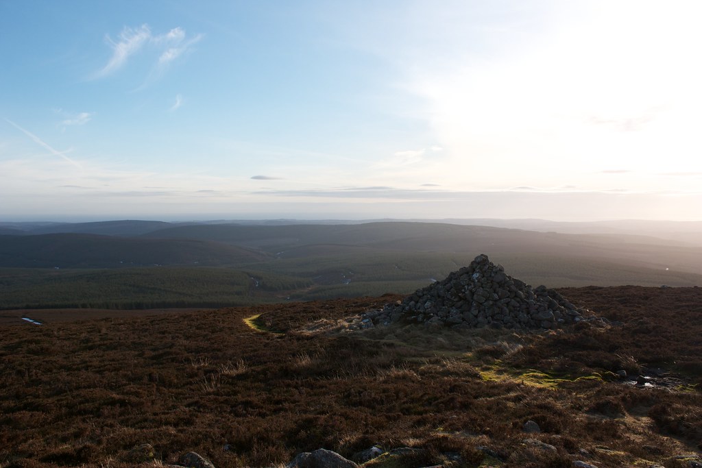
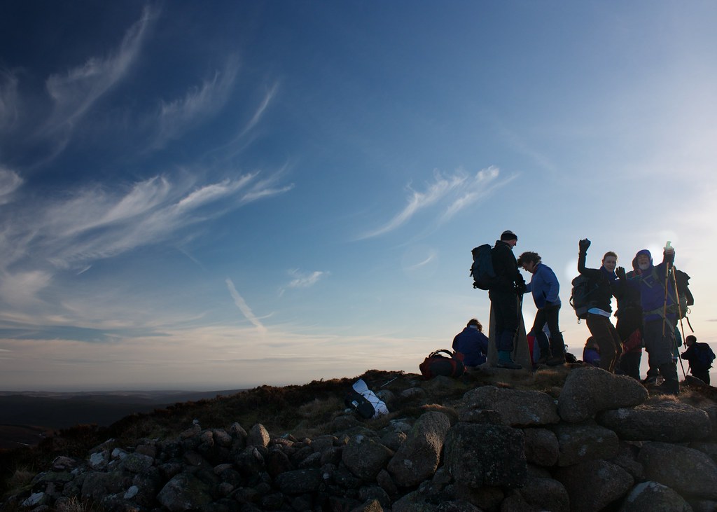
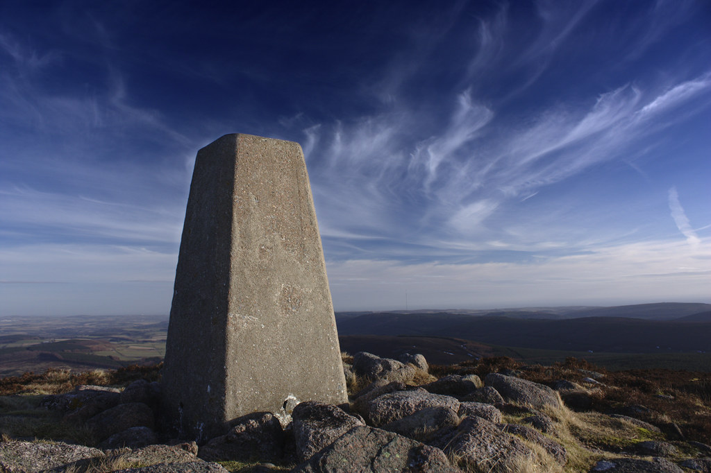
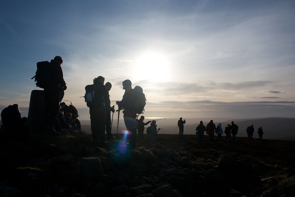
The main track was left to climb up on a narrow winding path between heather to finally reach the summit, decorated with both a cairn and a trig point for good measure.
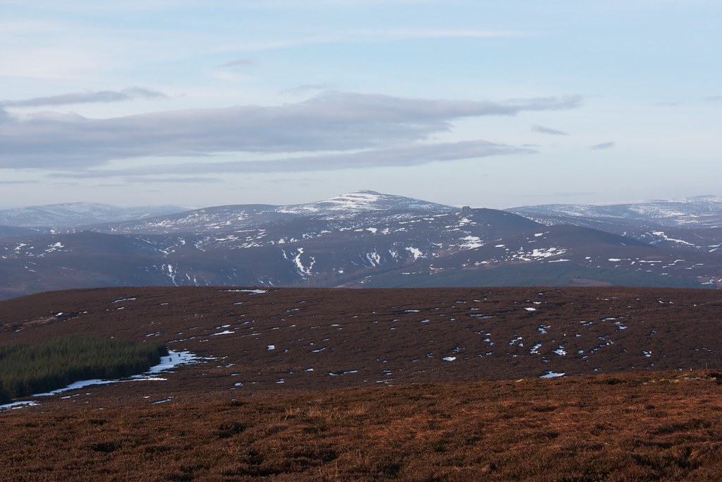
The views were spectacular with the Angus hills, Mount Keen, Mayar and Dreish, Morven, Clachnaben and Mount Battock all visible and distant hills glimpsed through haze and high cloud. Aberdeenshire rolled away to the north and the sea glinted in the morning sunlight. There was a strong wind so photos were taken, the view admired and then the summit was left behind to find a more sheltered spot for a bit of elevenses.
We rejoined the main track that now winds its way south towards the Fetteresso forest and had a short break on a sheltered corner, basking in the sunshine. After this we continued on, following the track as it cut a winding course through tree-clad slopes.
The views out to Clachnaben and hills further west opened up as we made our way down into a wide glen. After dropping down through a fire break, a dark corridor of pines with the needles soft and springy underfoot, we had an adventurous detour, crossing a burn twice and negotiating a steep and icy hillside. Eventually though we were back on track, climbing up beside the tumbling burn before crossing it and then climbing up marshy land to a wide saddle below The Builig.
In the midday sunshine this gave excellent walking and we made good progress along the broad top until we came to the head of the West Burn of Builig where we paused for a lunchtime snack. We now enjoyed fine views across wooded slopes south towards the Mearns.
After lunch, and another slight navigational hiccup we picked up the icy track that dropped down beside the West Burn. As the sun dropped the air began to feel appreciably cooler and underfoot the ground was ever more treacherous. As it dropped the Burn grew wider until it was more river like and we followed a vehicle track along its bank until we reached another junction south of Turf Hill.
Here, in a dark valley the sunlight had not penetrated for some time and the ground was ever more icy. As we were now about to climb a long slope out and over the next rise I decided to try out my new Pogu Spikes – minicrampons that slip on over whatever footwear you happen to be wearing. These proved to be brilliant, their sharp spikes finding good purchase on the various grades of ice and snow that we encountered on the long climb up below Gaerlie. At times the gravel reappeared and I had to slip them off but I never lost too much time.
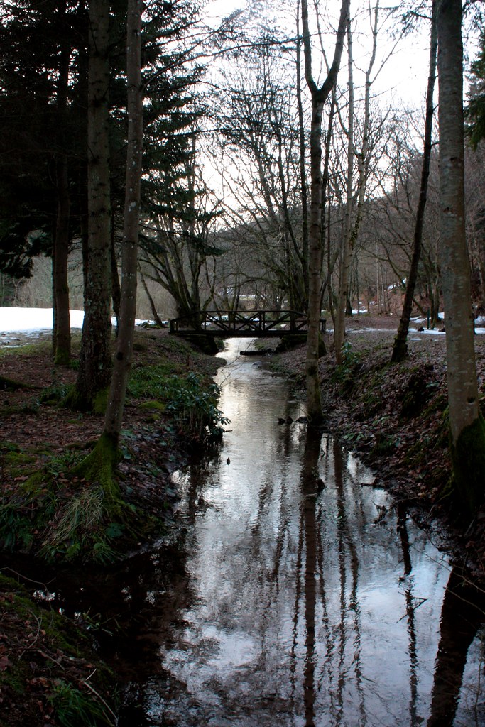
After another wander along an open hillside, cutting through trees, we dropped down one last time, now below the Hill of Burnieshag. Eventually this wound around and then dropped steeply down into the Drumtochty Forest. Hidden deep in a cold glen this track was again icy (though it didn’t seem to be putting off the mountain biker we met coming the other way!) and so we made our way carefully down the last kilometre until we found the coach waiting for us in the North Drumtochty car park.
A pleasant pint was enjoyed at the Station Hotel in Stonehaven before a winding, atmospheric journey across the Slug Road to drop people off at Crathes before finally making it back to Aberdeen after a long but enjoyable day.


