Distance: 28.09km
Ascent: 922m
Time: 6hrs 18mins
Hills: Mount Battock (778m, Corbett), Clachnaben (589m)
Weather: Bright spring sunshine, cooling breeze, later cloud and passing rain showers
Route: View on OS Maps
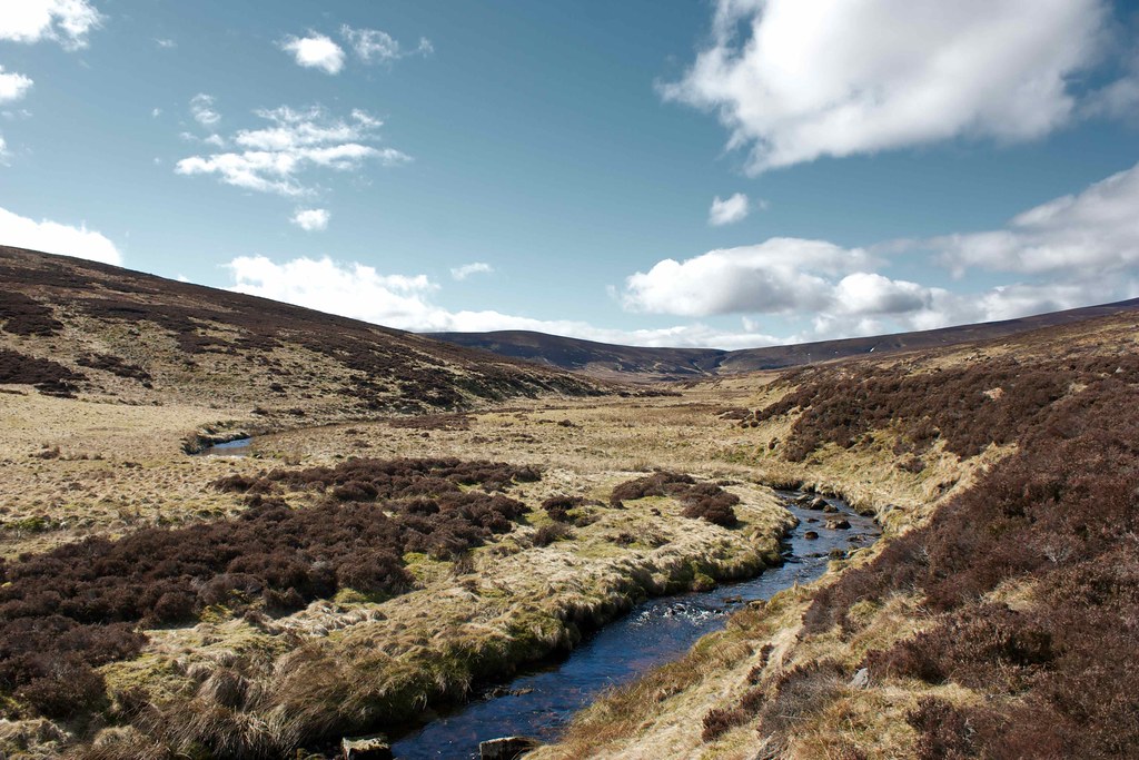
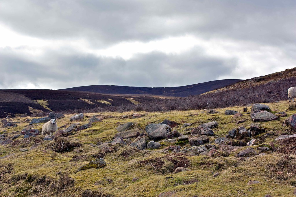
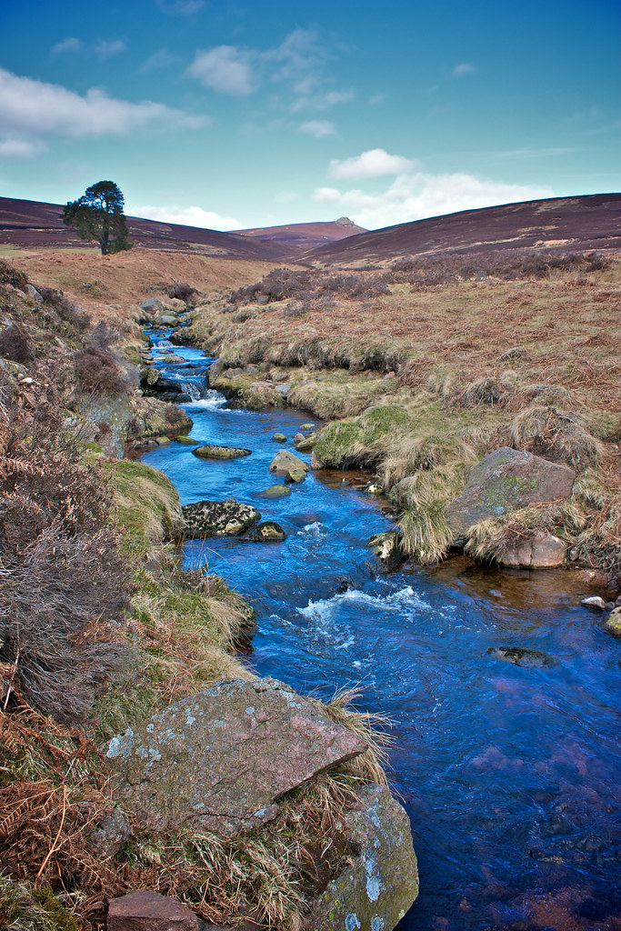
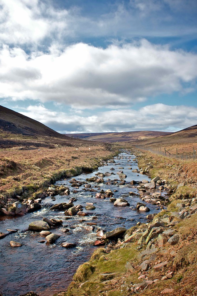
My approaching footsteps sent the sheep skittering away across the tussocky flats next to the river. They stopped some distance away bleating balefully and watching me pass by. Their flight had taken them in amongst the scattered stones of a long abandoned shieling, one of many that can be seen along the length of this overlooked glen. I was deep in the heart of Glen Dye, away from the people puffing and panting their way up Clachnaben, and enjoying the solitude and scenery in this pleasant little corner of the world.
My plan today was to revisit a couple of hills; Mount Battock, which I climbed in November 2008 and Clachnaben, which I have been up numerous times by various different routes. They are connected by an undulating string of flat, unremarkable hills that have been devastated by vehicle tracks and shooting paraphernalia which do not make for a pretty sight.
Walk Highlands recommends doing this as an out and back, presumably for the fine views both north and south - of which there are many - but I didn’t think much of the trudge between the two hills and would recommend turning it into a circuit with plenty of different ways of dropping into Glen Dye, or climbing out from it. To avoid doing the unappealing out and back I decided to wander up the length of the Water of Dye and then return via the high route.
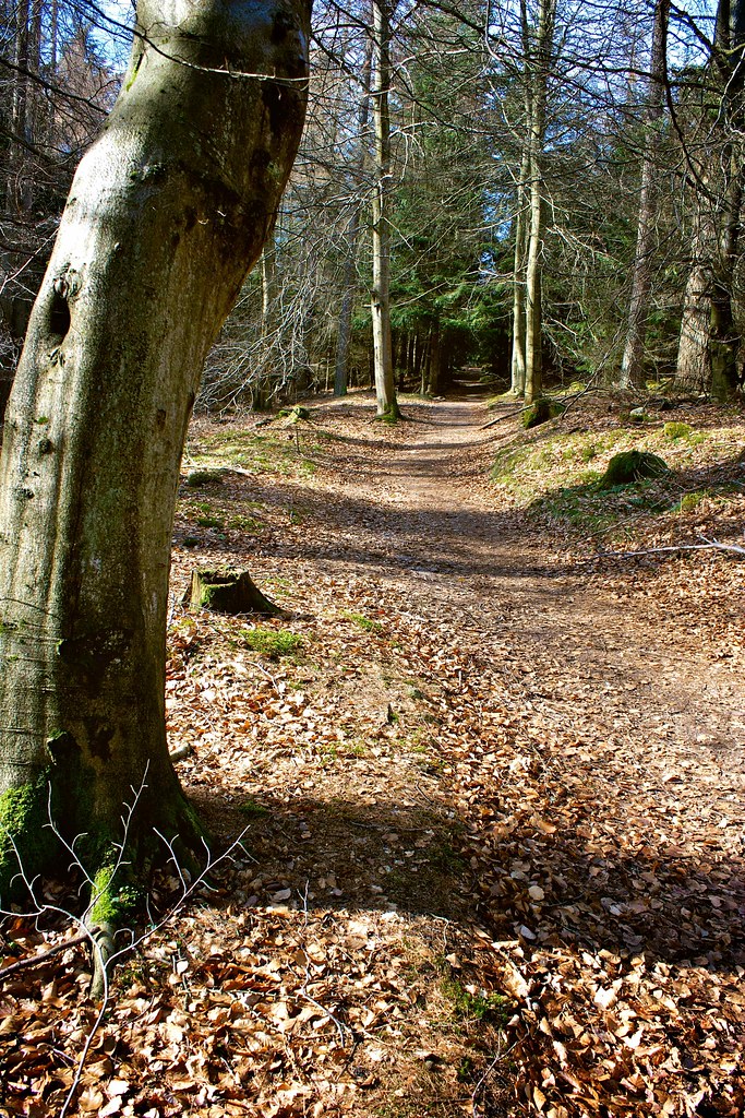
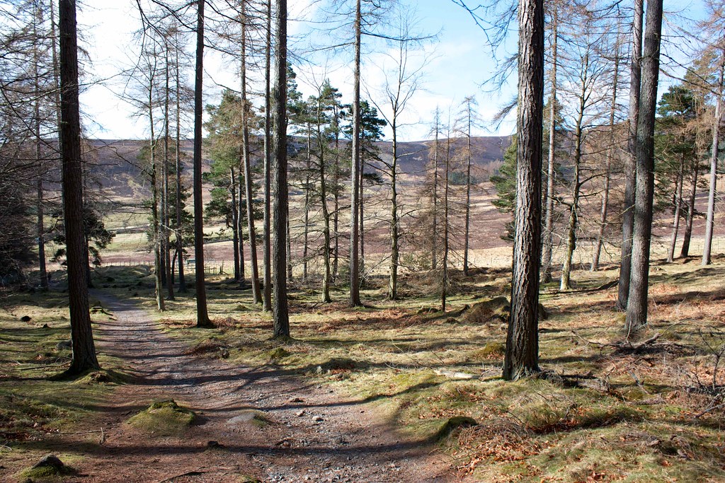
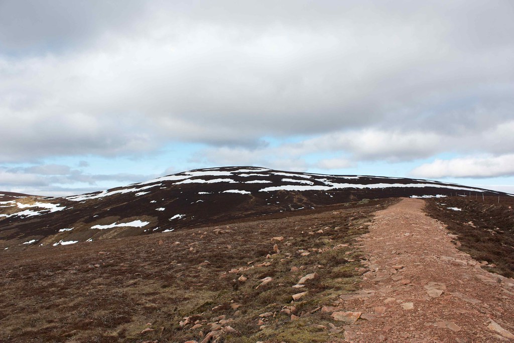
After watching the Australian Grand Prix live and having a lazy breakfast I eventually got parked up at the Clachnaben Quarry car park at 11am (BST!). Under sunny skies the car park was already crammed full, but luckily my small and rather mucky car fitted perfectly between two very large, expensive and clean cars! Ditching a few things from the pack in light of the good weather, but taking my new PHD Down Vest (packed in its stuffsack it is an almost imperceptible size and weight at the bottom of the pack!) I was away on the good track which climbs through the woods and then drops down towards Miller’s Bog.
In the bright sunshine everything felt lazy and summery. Birds flitted in the branches and new plants were pushing up between dead leaves, pine needles and fir cones. The sombre brown was turned into reds and golds wherever the sunlight shone down through the canopy. There was a deliciously fresh smell.
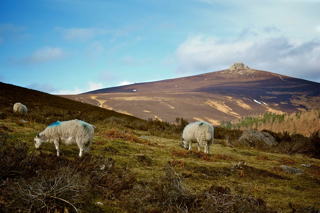
Besides the Clachnaben information point a large crowd of walkers (a club? conservationists?) were gathered but I pushed on, and ignoring the main turn-off for the hill, continued on the broad vehicle track that now runs roughly south, following the wide river and running parallel with the busy Cairn o’ Mount road. Immediately I was away from the crowds and enjoying a pleasant amble, following the wide curves and bends in the river as the track contoured round below Netty Hill.
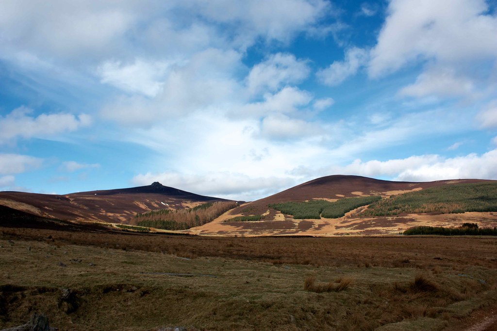
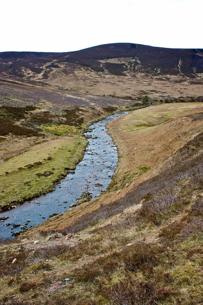
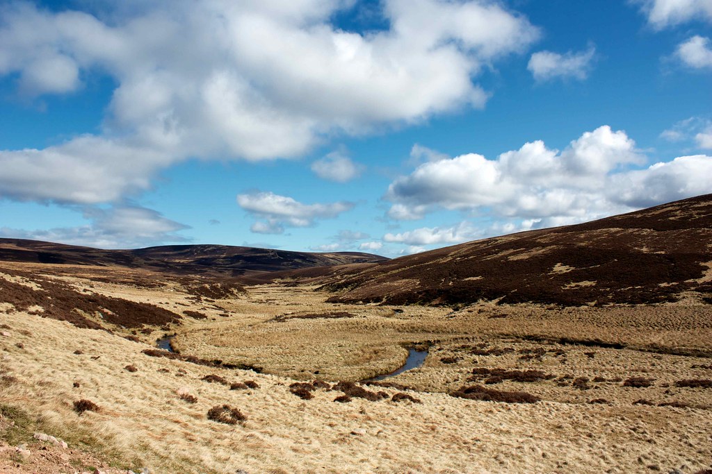
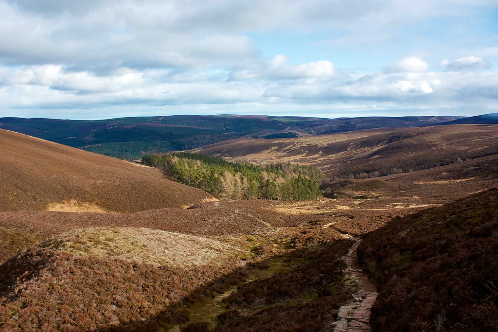
At a junction a track branches off to the right to climb over a low shoulder of hills, but, wanting to stay true to my original plan, I chose the lower route which sticks close by the river and so adds a couple of kilometres to the route. Once around the corner you enter into Glen Dye proper with the hills now starting to rise on both the north and south sides.
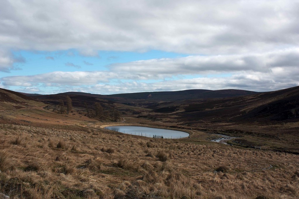
The clouds had closed in, banishing for the moment the bright sun, but I continued on, enjoying the sights and sounds of a peaceful world. As I passed the unknown-to-the-OS reservoir near Charr I rejoined the main track higher up the hillside and as I did so was rejoined by the sunshine.
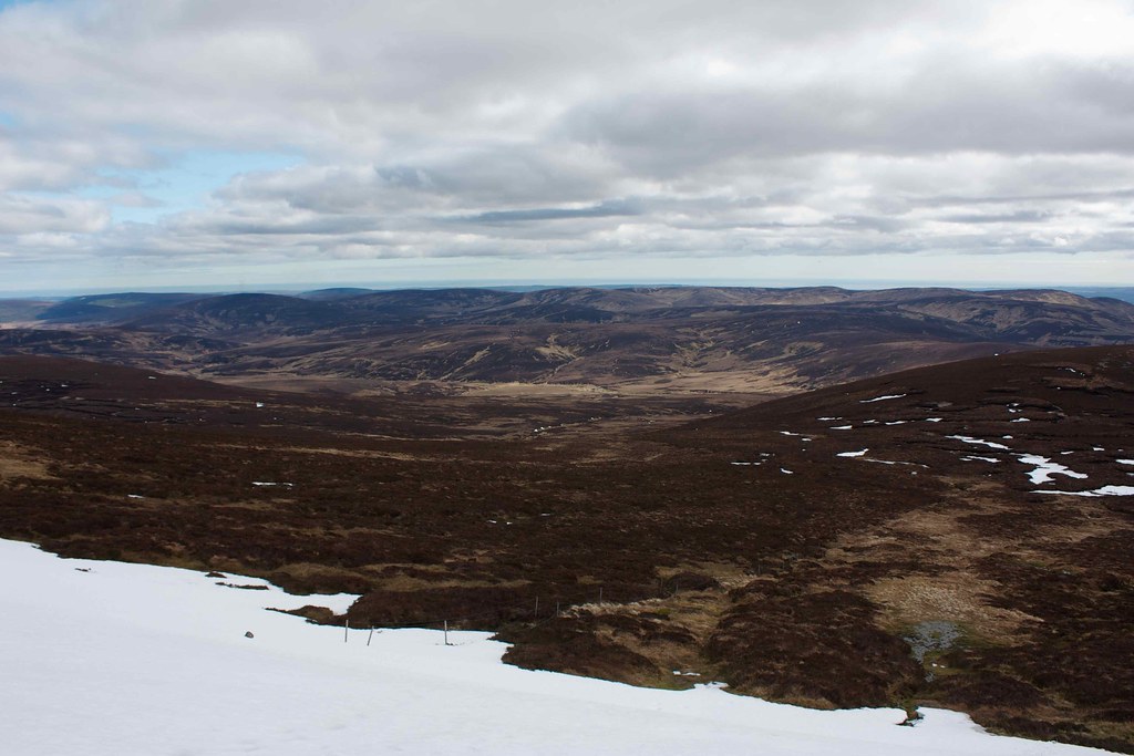
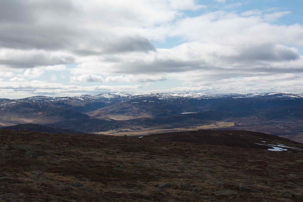
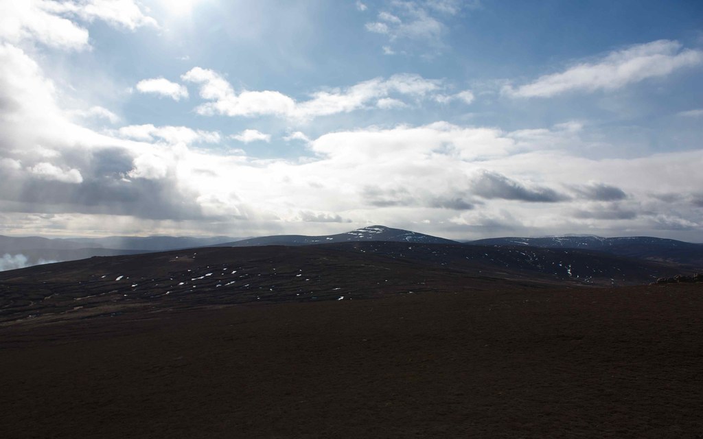
The river now bends around and gave me an excellent view up to Mount Battock, with snow still streaked around its summit. Some distance on, besides a nice stretch of riverbank, I stopped for a snack and a laze in the sunshine.
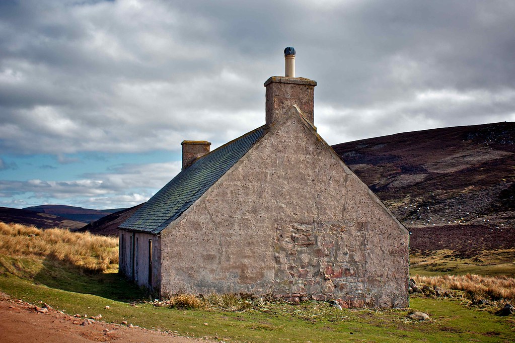
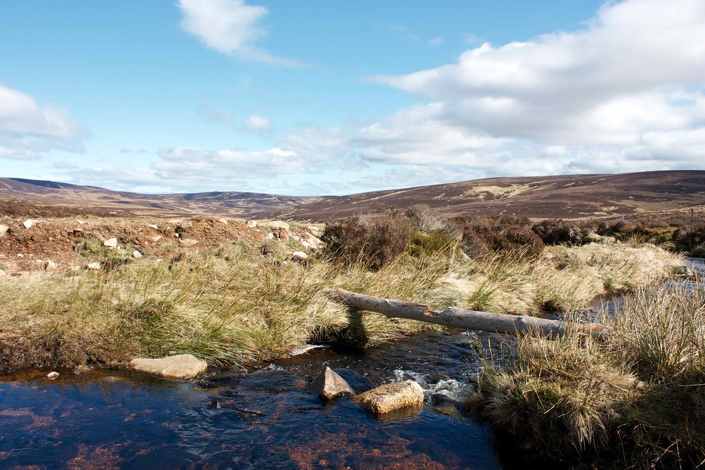
Further on still I passed another derelict farm building and then came across some more recent signs of human activity. The river turned in a series of ox-bows and at each crossing point a fresh log stood with a small animal trap at its centre. I was able to ford the river at most of these but had to cross one where the stream was swift and deep. There were also sheep paddocks and higher up signs of some recent deer culling.
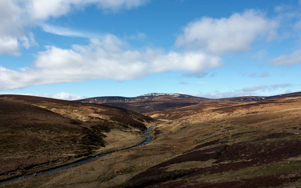
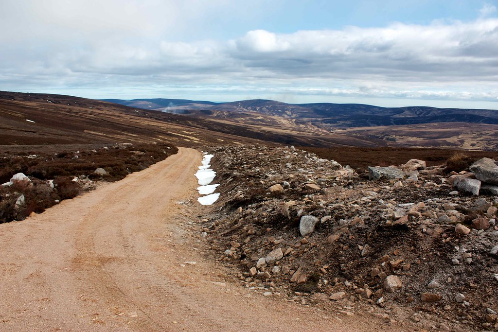
Soon enough though, after following the river to its very head, I was climbing out of the glen and up onto the Hill of Saughs. Here a deer fence temporarily obstructed my course until I found a way across it and onto the main estate track which runs up from distant Glen Esk. The tracks in this area are quite horrific, built with no sympathy for the land. I followed its line up to the boggy bealach below Mt Battock and was glad to be rid of it as I then followed a narrow footpath up the slopes. There were broad streaks of slushy snow to cross and below one of these I came across a melt pool teeming with noisy frogs.
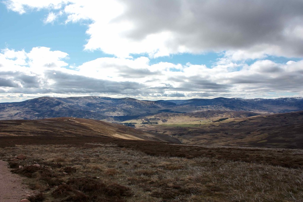
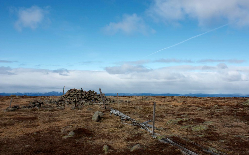
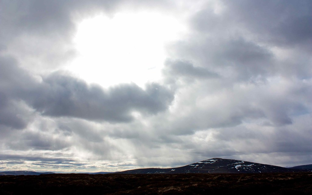
The summit was reached in due course, offering excellent views west to Mount Keen and Lochnagar and further off to where the Cairngorms stood in a swathe of dark, stormy looking clouds. Away from any shelter there was a brisk wind on the summit so I put on my down vest and settled down for a late lunch in the wind shelter.
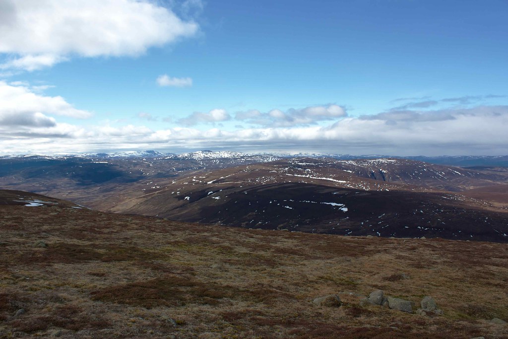
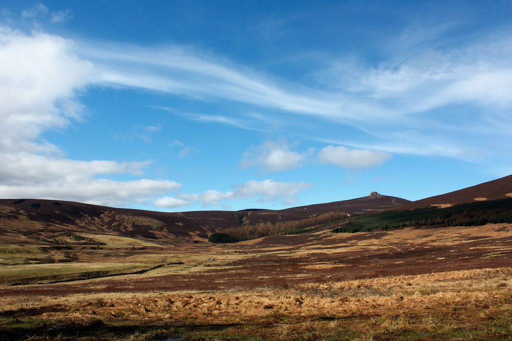
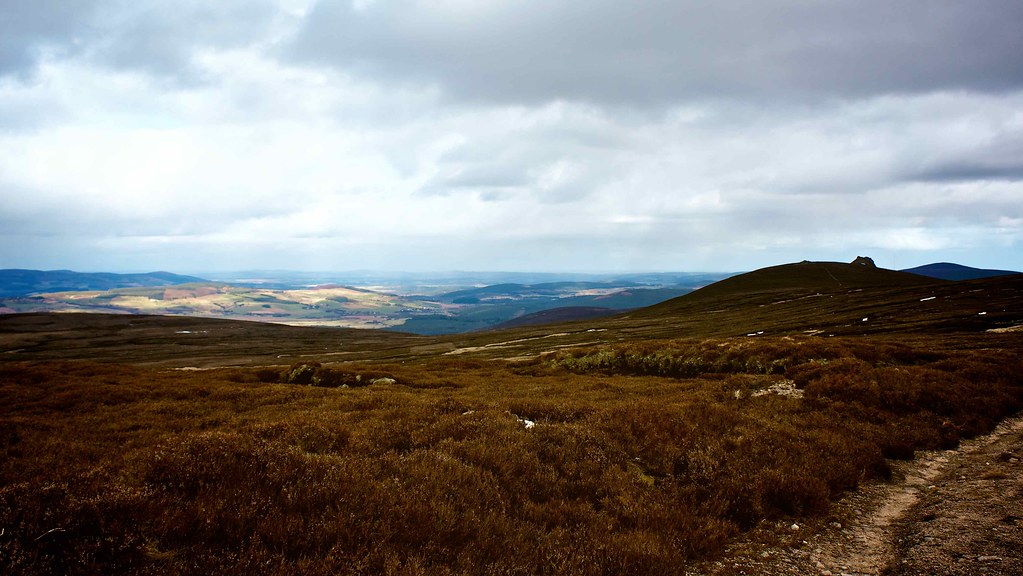
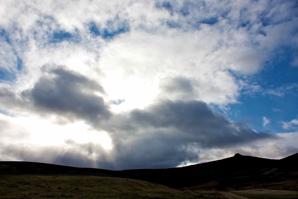
After enjoying the loneliness of this spot for fifteen or so minutes I was ready to continue on, conscious of the distance back to far-off Clachnaben. The initial descent from Mt Battock is excellent with a pleasant track following a line of rickety fenceposts. Unfortunately before too long you join another eye-sore of a vehicle track which winds along to a newly built stalking cabin with no consideration for its surroundings. At this stage the clouds had rolled back in and the storm clouds seen over the Cairngorms were gradually drifting down Deeside, engulfing first Morvern and then Bennachie. It gave some dramatic lighting back over Mt Battock, and then rainbows sprang into life over the sunlit fields of Aberdeenshire.
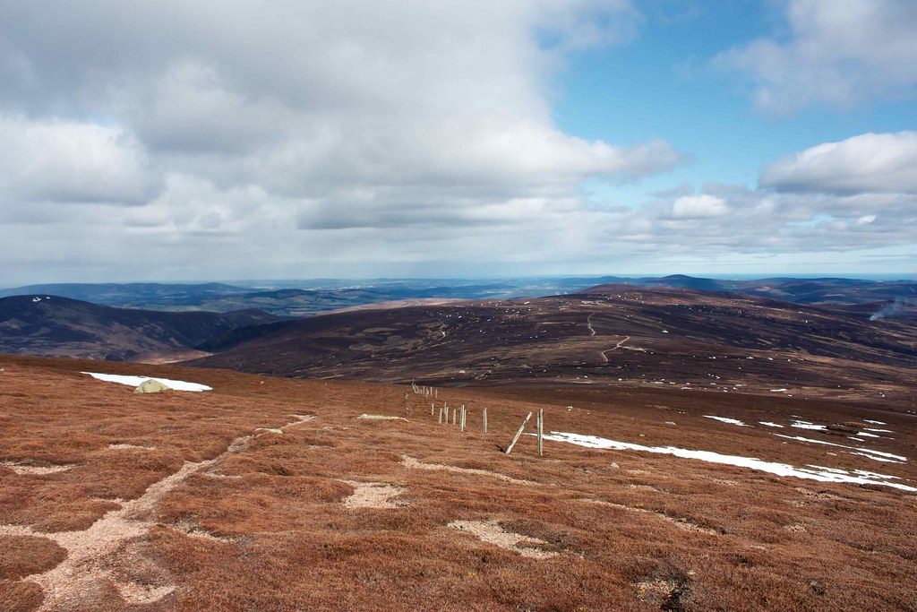
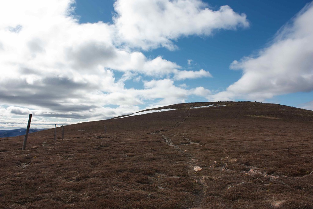
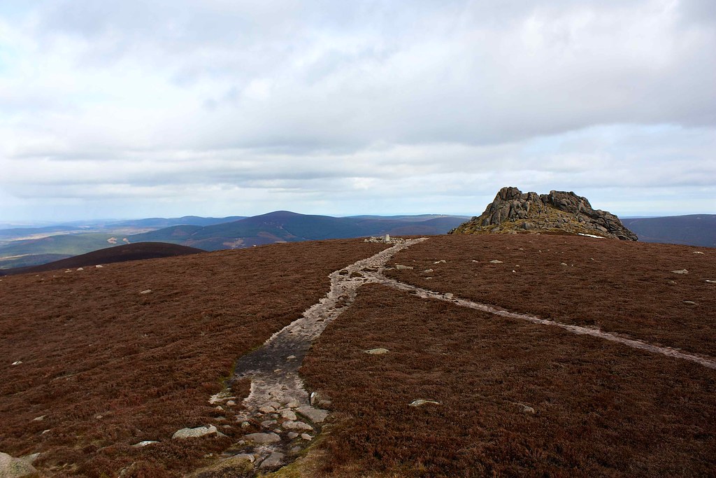
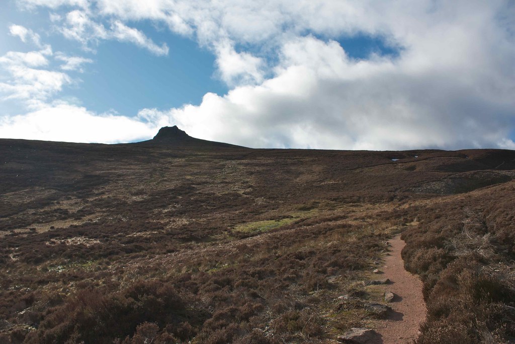
I plodded on, following the twists and turns in the track which wound between peat hags and eroded hillside. Occasionally the track was covered by deep, slushy snow which was tiring to cross. Eventually though, after crossing the Hill of Badymicks, Sandy Hill and the Hill of Edendocher I was on the final pull up to Clachnaben. The wee scramble up to the summit of the large tor is always the highlight here and it was fun putting hand to rock and clambering out onto the summit to be greeted by a rainbow filling the valley below.
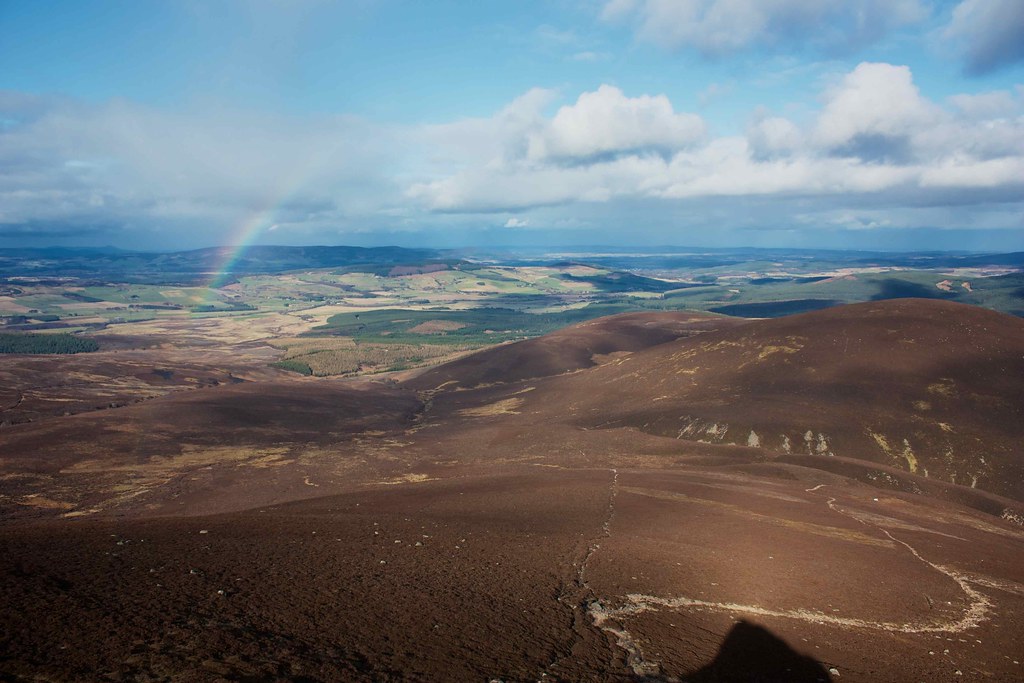
I spent some time up on the deserted summit, enjoying the views and finishing off the last of my food. The showers passed across the lower country causing fascinating changes to light and depth. Eventually a family with a young baby came briefly up to the summit to take a picture. After they had left I began my own descent, following the excellent path down into the forest and then across Miller's Bog. Once off the hill I warmed up again rapidly and had to strip down to the base layer.
A brief shower got me as I approached Glen Dye lodge but cleared in time to give me a great final view to Clachnaben. Then it was through the woods to the car, a quick drive home and back in time for dinner and the final episode of Wonders of the Universe. A great afternoon out!