Date: Saturday 7th May 2011
Distance: 31.15km
Ascent: 1,311m
Time: 8hrs 48mins
Hills: Carn a' Mhaim (Munro, 1,037m), Ben MacDui (Munro, 1,309m)
Weather: Early low cloud and drizzle giving way to hazy blue skies and a strong wind.
Route: View on OS Maps
Bacon rolls from Ballater cheered us up a little but it was really the scraps of blue sky that could be glimpsed above the foothills of the Cairngorms that put a proper smile on our faces. The drive to the Linn of Dee had been through rain and ominous skies and although there was a little drizzle falling as we wended our way through the woods, by the time our feet were pounding out the kilometres of the Derry Road it had stopped and the air was muggy and warm.
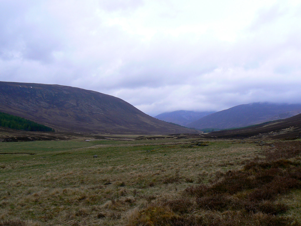
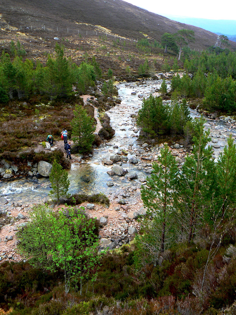
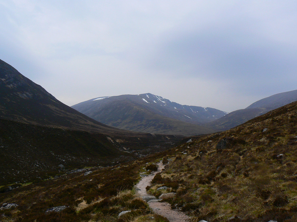
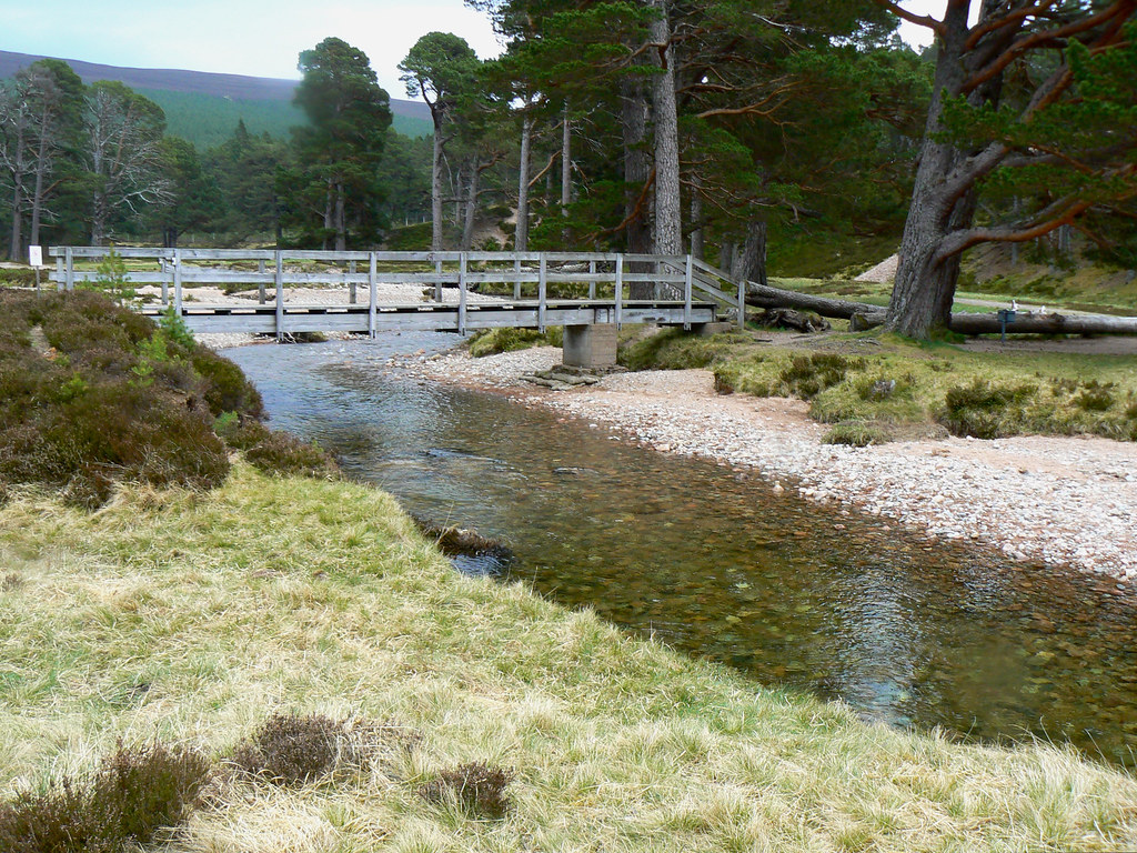
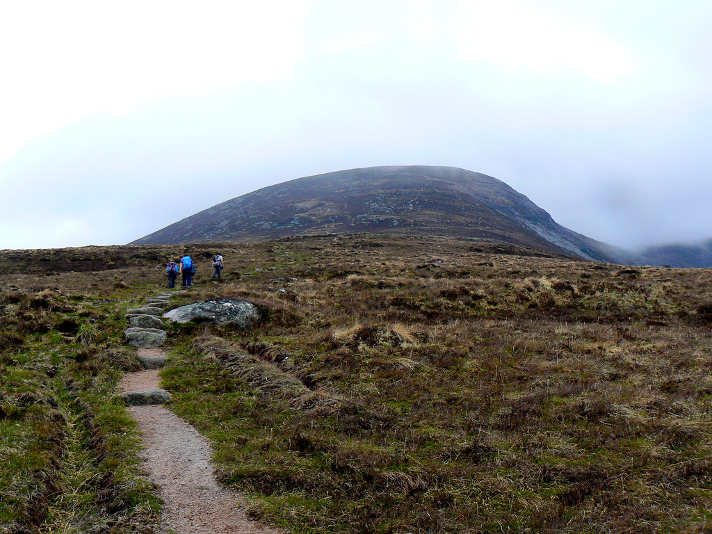
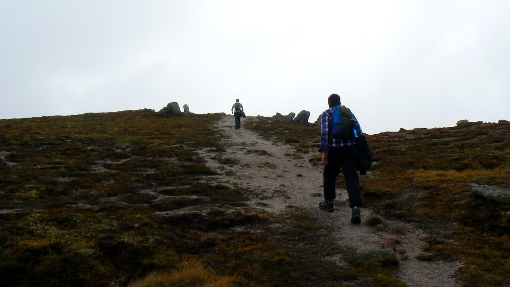
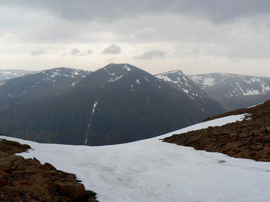
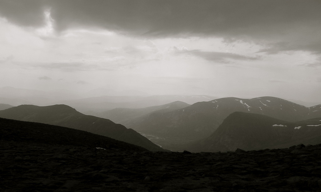
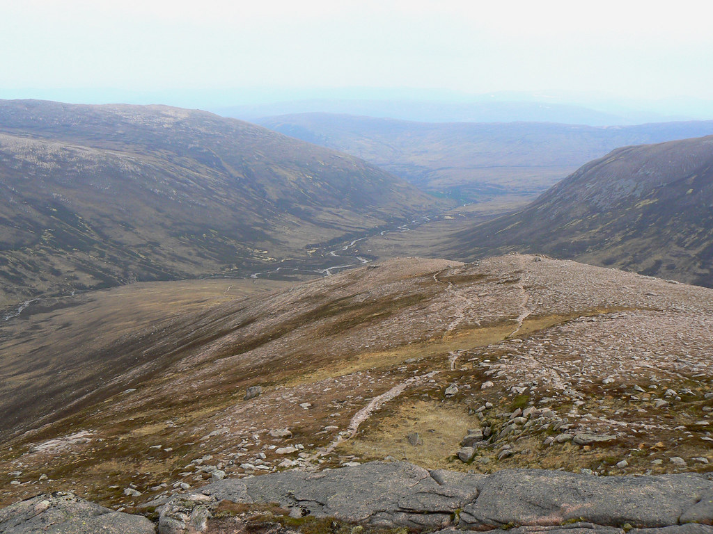
Derry Lodge came and went, and after a short break by the river (what are the midgies up to? Hiding, waiting, plotting and scheming no doubt!) we were on our way, over the stones at Luibeg (some more gracefully than others) and climbing up the shoulder of Carn a' Mhaim. The views back down Lui were lost as we entered the clouds, contoured around below the southern top and skirted a fading snow patch to eventually emerge on the windy summit; just a cairn in the mist.
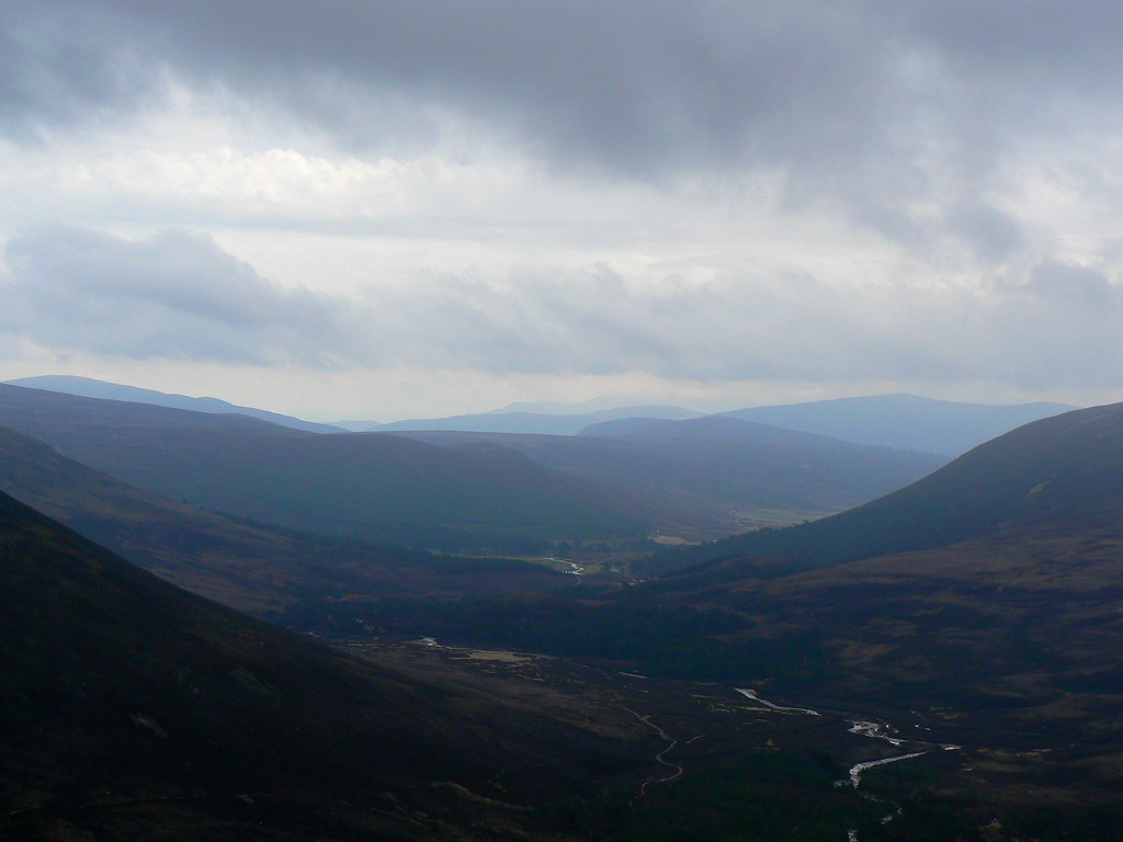
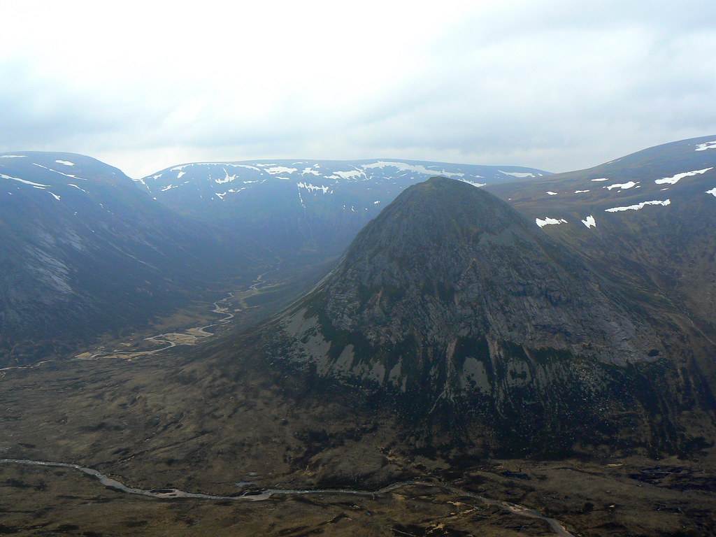
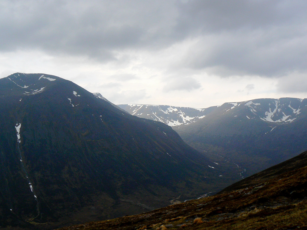
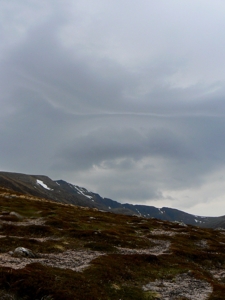
We gathered around and eventually the cloud began to blow through, revealing the steep drop to Glen Dee below, and across to the Devil's Point. Whilst waiting for others we dropped slightly off to the north to seek shelter from the gusty wind and found a good perch for lunch. Gradually the mountains began to emerge, although Cairn Toul and MacDui still had their tops in the clouds.
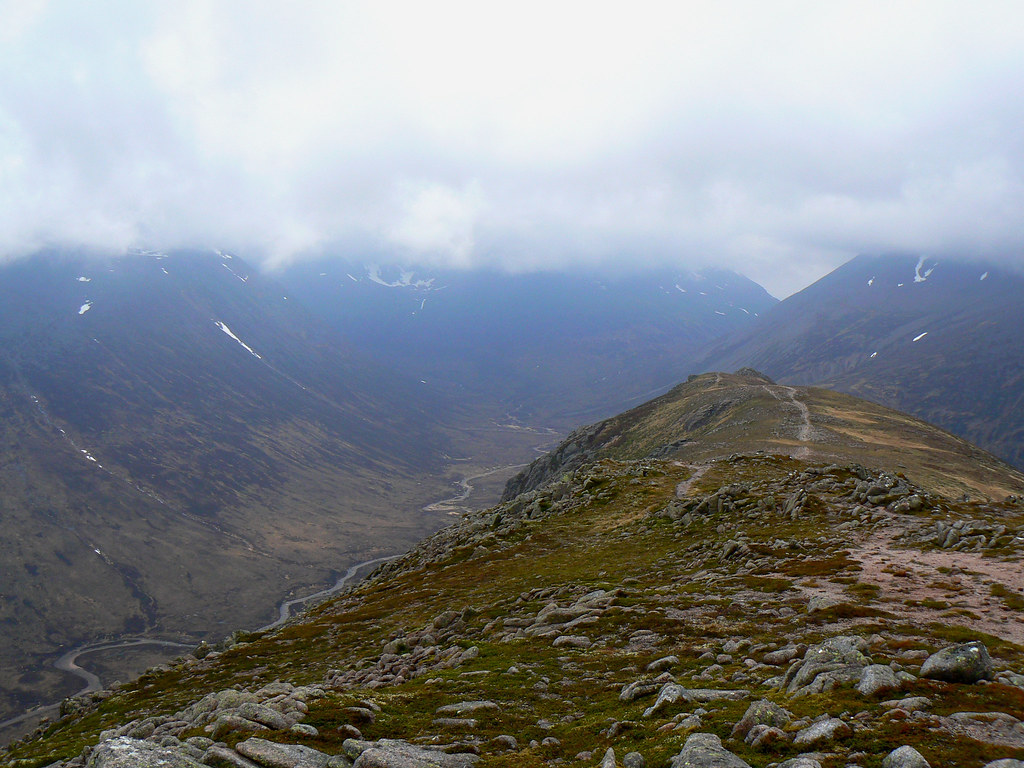
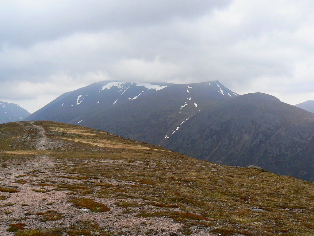
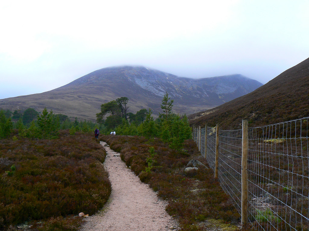
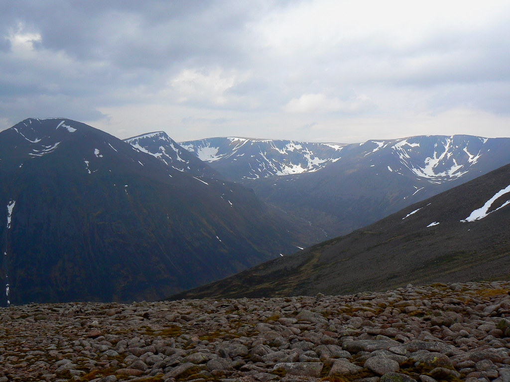
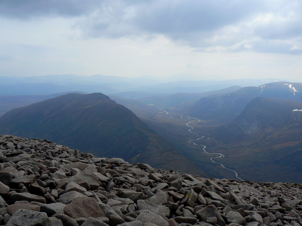
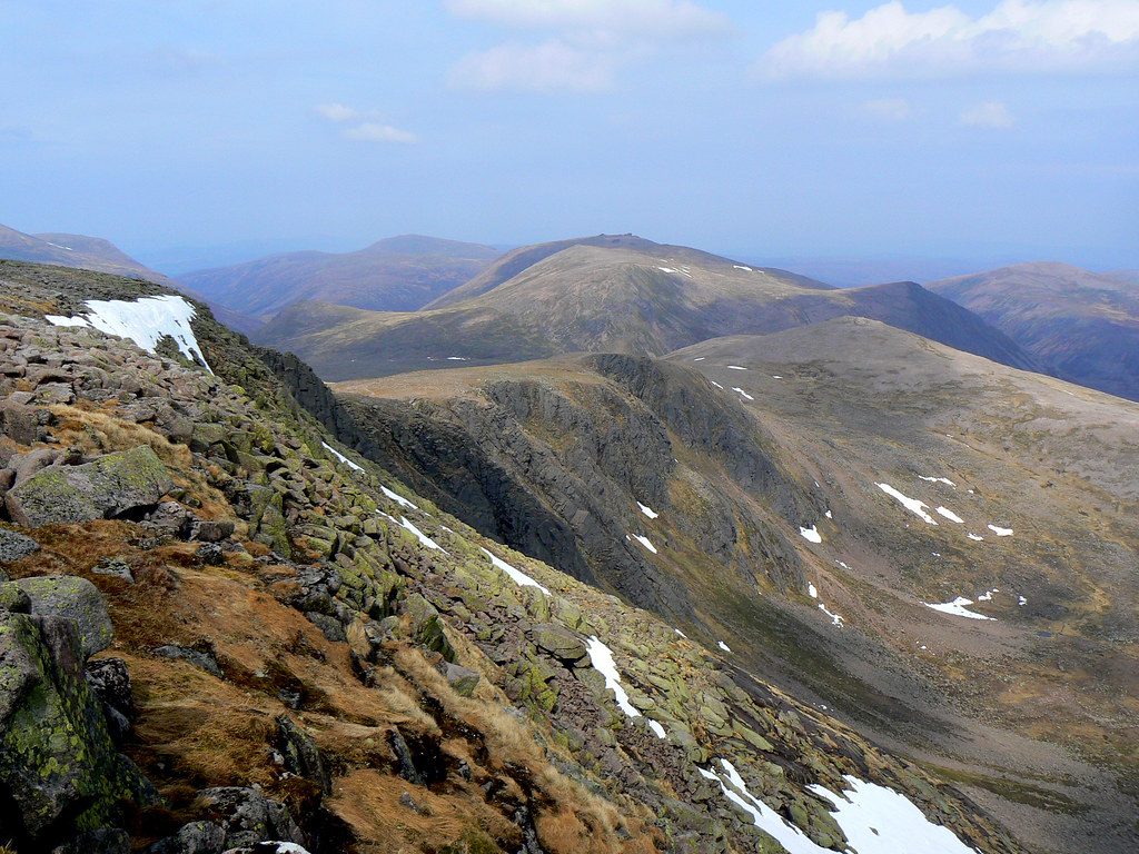
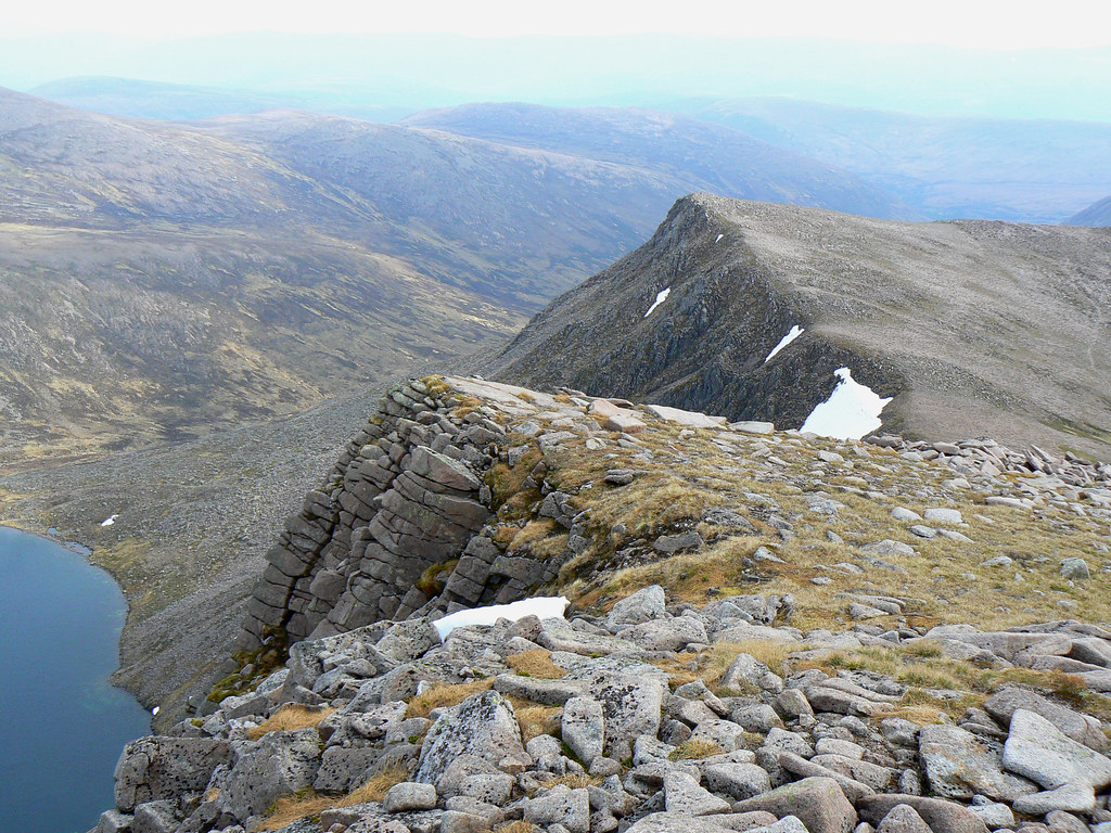
From here we followed the trippy ridge along Carn a' Mhaim, enjoying the sight of the mountain tops shirking their cloud cover. By the time we reached the col below MacDui the cloud had lifted and we could see the spectacular cirque of mountains and coires above the infant River Dee.
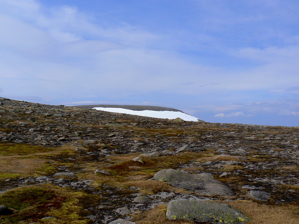
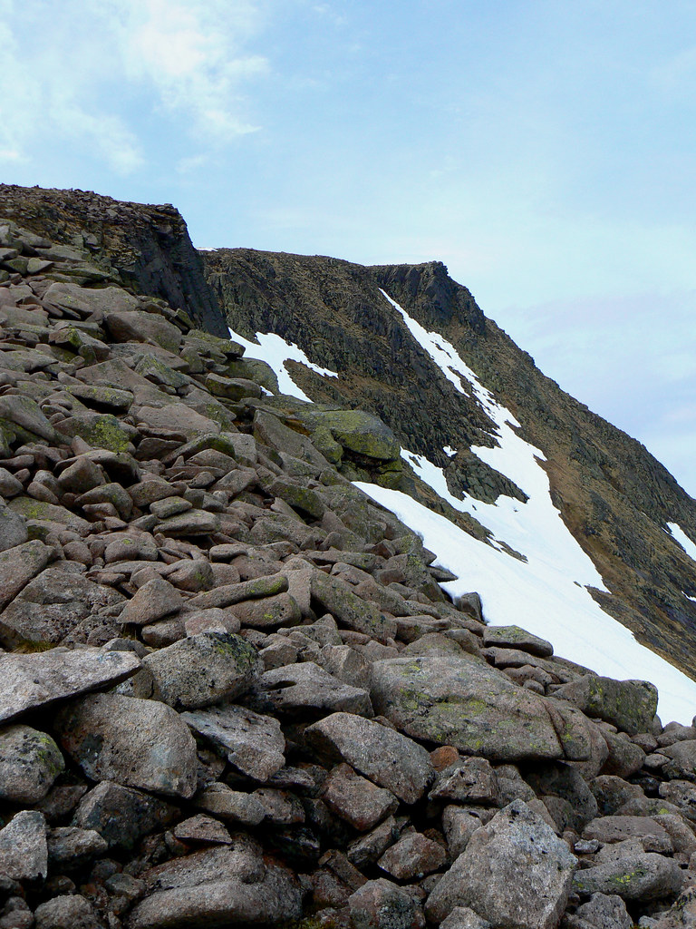
From the col we followed the track up the side of the Tailor's Burn until it fizzled out in the giant boulder field that this ascent is famed for. We clambered, slid, hopped, jumped and waltzed our way up to the plateau at the top, breathing in the marvellous views just as blue spread across the horizon.
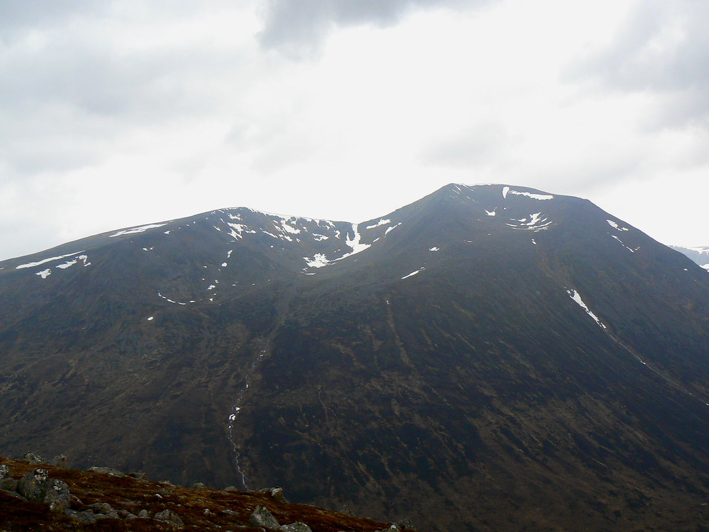
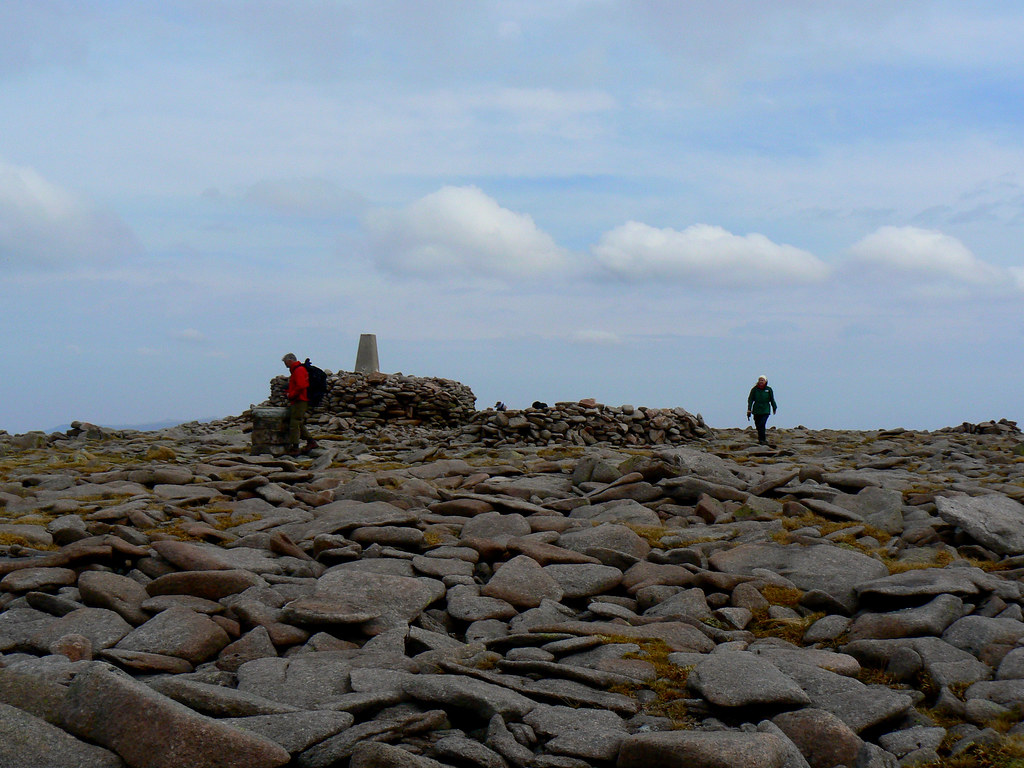
A short walk along the plateau and up the slight rise took us to the summit of Ben MacDui, Britain's second highest mountain, just on 2pm. There were handshakes, photos and attempts to digest the trig point. We went for a wander west to get a better view of the Cairn Toul-Braeriach range and people discussed the legend of the Big Grey Man who was probably somewhere nearby, cowering from the evil yellow one.
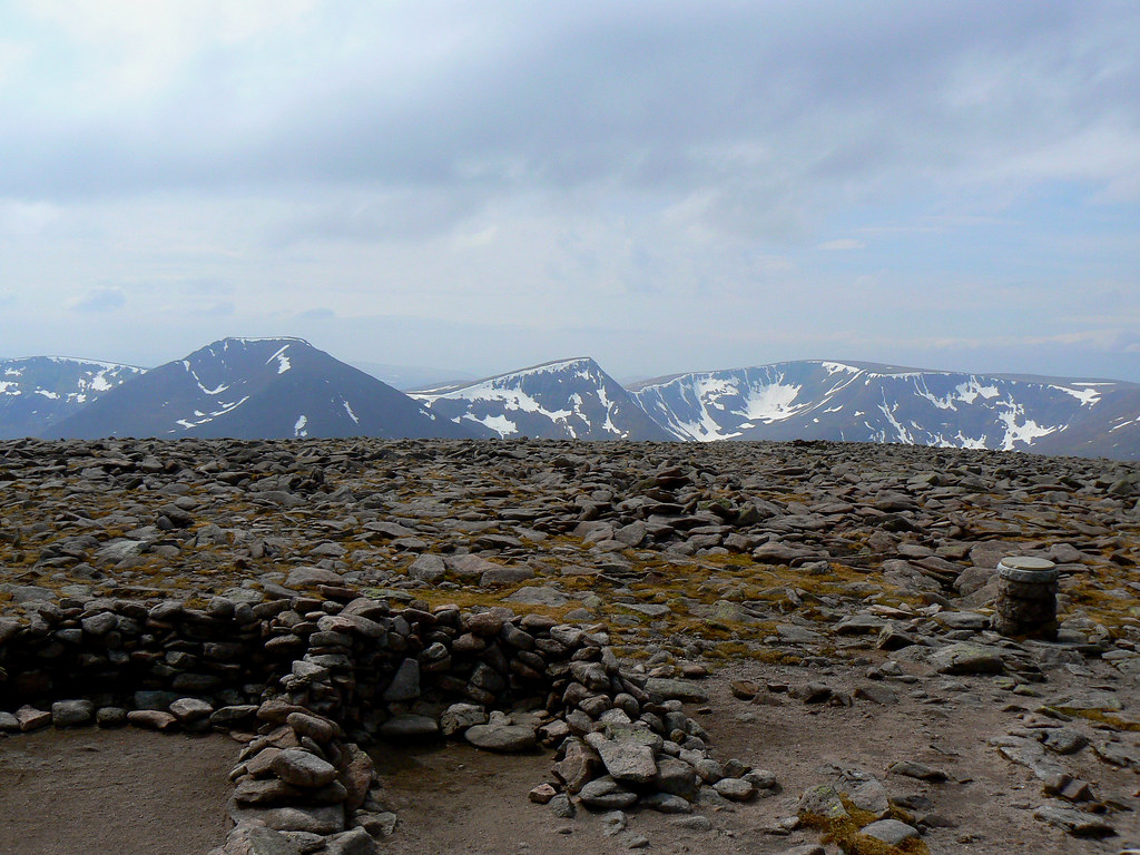
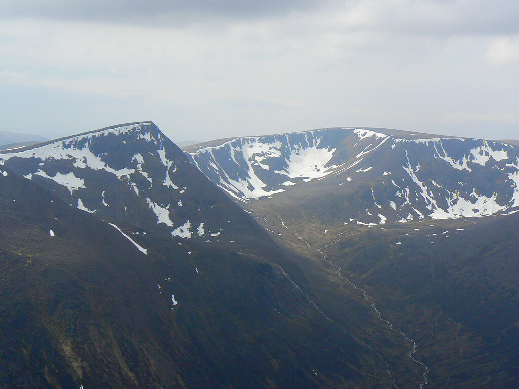
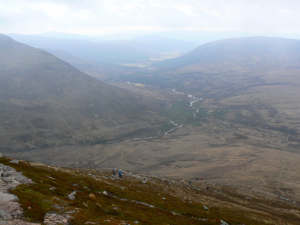
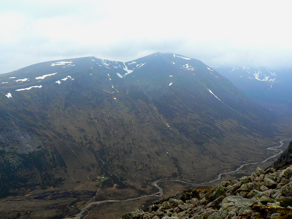
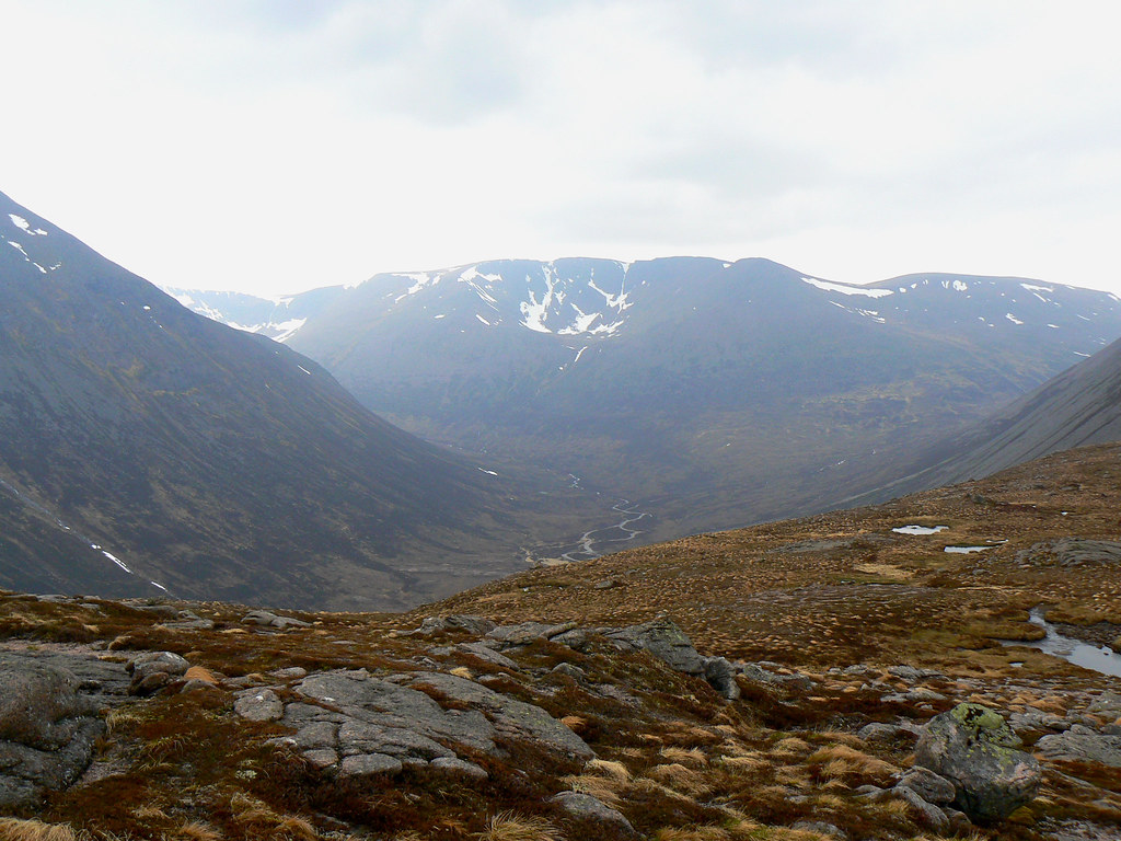
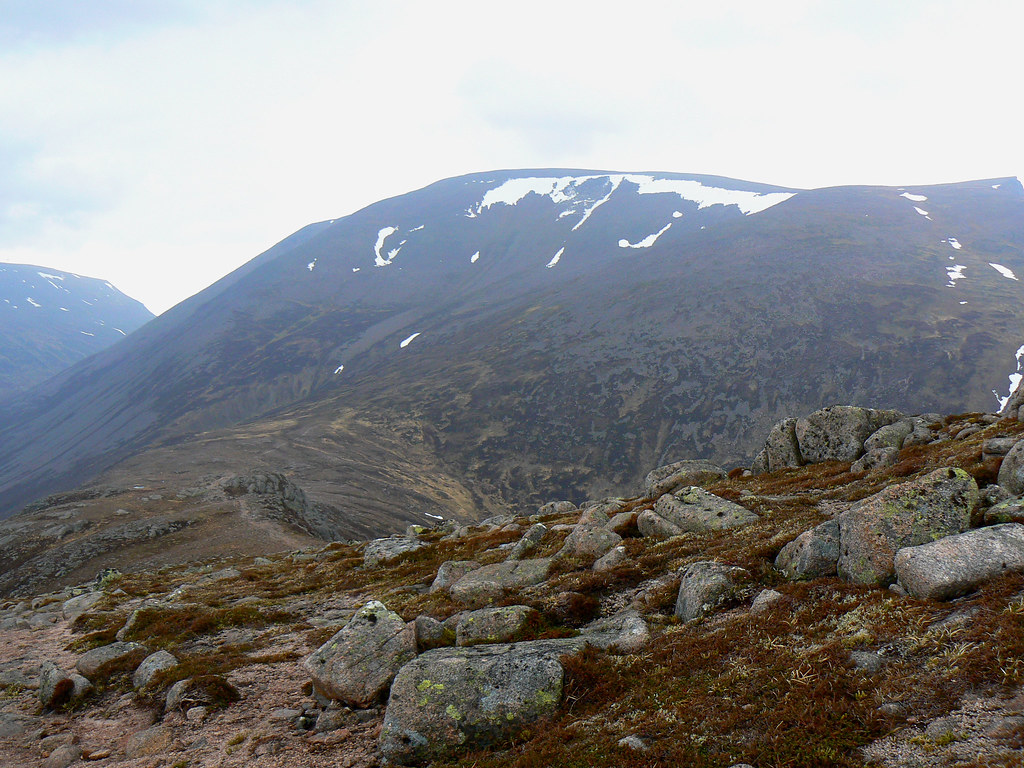
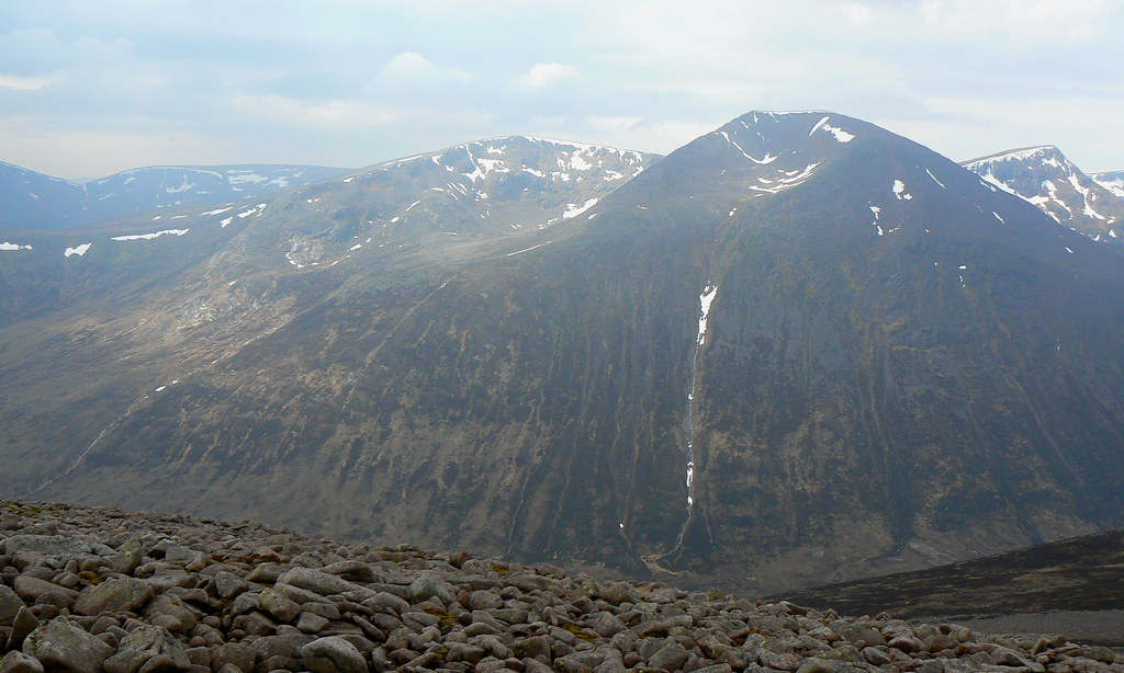
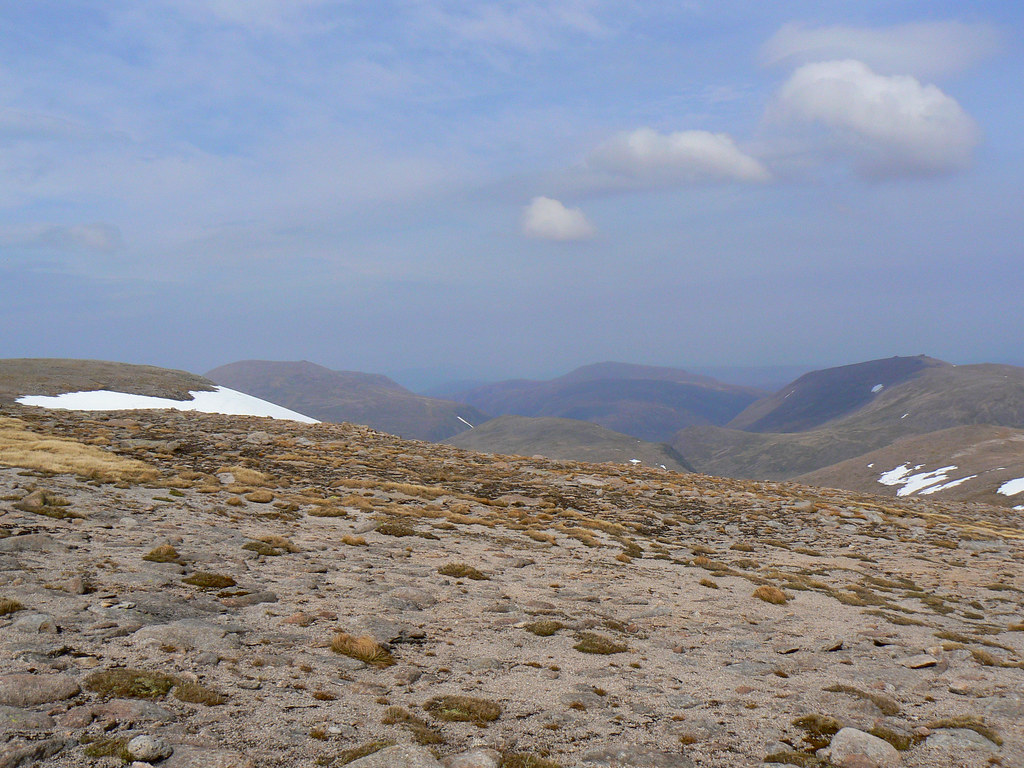
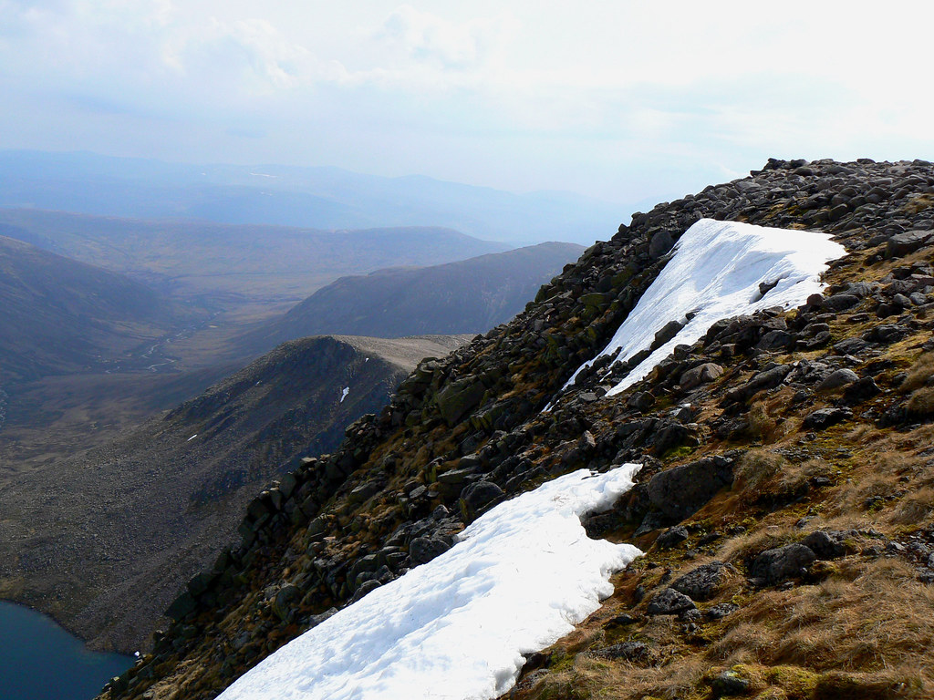
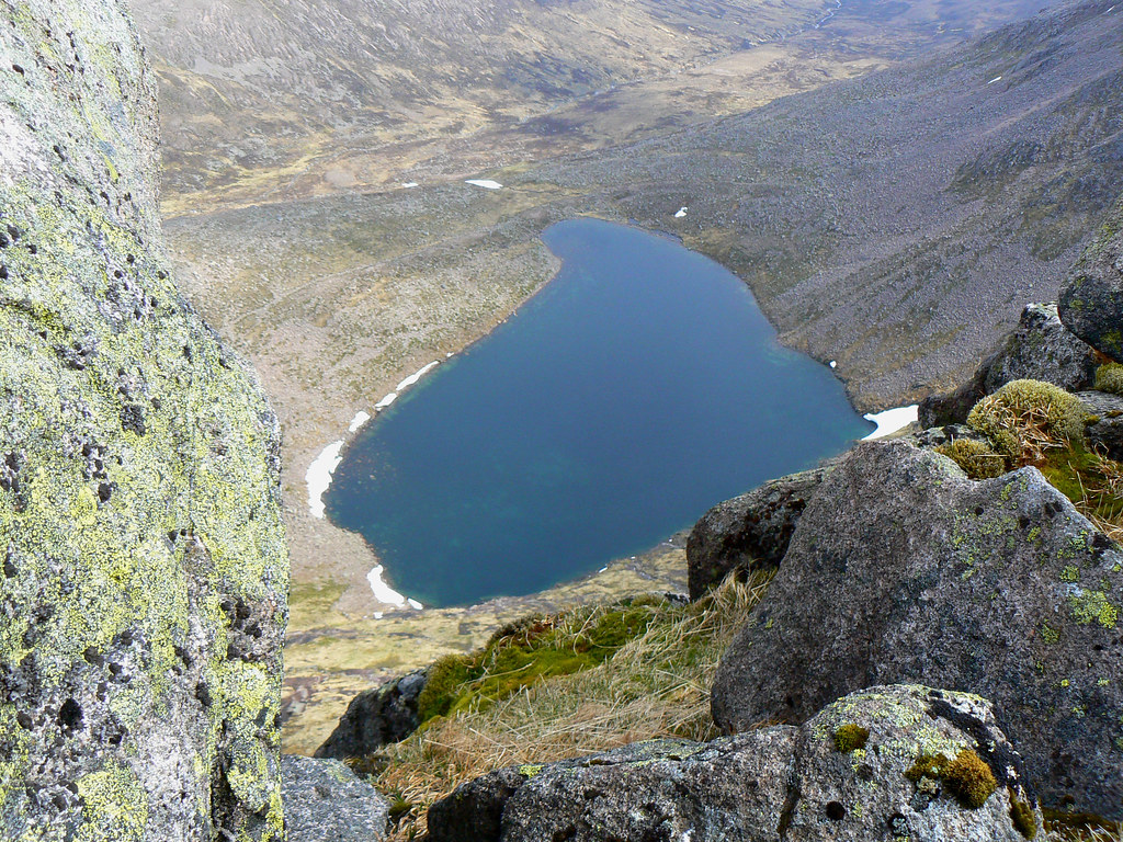
The descent route from here was a return to Luibeg via Sron Riach. We did have a quick detour to the top of Stob Coire Sputan Dearg which offered both fine views over the central Cairngorms, and down to Lochan Uaine, as well as the strongest wind we had experienced all day. It was hard to tell but it seemed like flecks of water from the surface of the lochan were being blown into our faces. Still, the slabby summit is an awesome viewpoint and gave us a good look at the descent route.
The initial descent was down a mix of gravel and boulders until we eventually picked up the true track which follows a direct course down towards the Luibeg Burn between Derry Cairngorm and Carn a' Mhaim. We stopped briefly before crossing the river but with thick clouds building all around, decided to make for the Linn of Dee at a fast pace. The return route followed familiar ground, passing Luibeg, Derry Lodge, and then the long road out. This was enlivened by studying the enormous packs of the overnight backpackers heading into the hills (what do they take in there???) and the rain graciously held off until we were back in the woods.
There was a pint at the Fife in Braemar then a speedy return to Aberdeen to complete a long day. Almost 20 miles and 1,300m of ascent in less than 9 hours with some significant stops on summits (almost an hour on MacDui) was impressive going. The fact we didn't get wet or blown off a mountain even more so given the forecast!