Having now been walking in the Cairngorms and surrounding hills for a few years I’m starting to better put together my internal map of how the glens and hills of the region fit together. There is however one area that still isn’t fixed properly in my mind yet. It is a blank space in my mind’s map; and that is the hills around Glen Gairn. The River Gairn rises on the southern slopes of Ben Avon and eventually meets the River Dee at Ballater making it the longest tributary of that river. With the direct link to Deeside it was once a well populated glen with pastures and homesteads scattered along its length. Nowadays the shielings are ruins, the glen is silent and I was fascinated by this wild area so close to the populace villages of Deeside. Although the trip I ended up doing didn’t take me all the way along the Gairn (something I still plan to do) I visited its central section and enjoyed my night spent there gazing at the distant stars.
Saturday 25th February – Corgarff castle to River Gairn wild camp
Distance: 23km
Time: 6 hours
Ascent: 800m
Hills: Brown Cow Hill (Corbett, 829m), Meikle Gael Charn (Corbett Top, 802m)
Route: View on OS Maps
Saturday dawned bright and chilly in Aberdeen. Though the preceding few days had been mild to the point where I had dropped down to just a windshirt for the walk to work, the weekend forecast was a little less promising. In particular MWIS was predicting very strong winds (gusts to 80mph) for Sunday afternoon. With this in mind I came up with a plan that gave me an opportunity to head up onto the plateau of Ben Avon, most eastern of the big Cairngorm hills, on Sunday morning in the hope of catching a break in the weather. To get there I would camp in Glen Gairn, to the south of a winding route that takes you up onto the plateau. Another consideration was the sky show promised for Saturday evening with the Moon, Venus and Jupiter all in close proximity in the west after sunset.
After a pleasant drive out through Alford and Strathdon I pulled up at the car park for Corgarff castle just on eleven in the morning. The bright weather had remained with me and I booted up under blue skies. There was a breeze but down in the valley it was pleasant though I decided to take my winter jacket with me rather than the Vapour Rise. A couple of walkers who had overtaken me on the road near Strathdon were off up in the distance and I followed them, skirting past the castle and dropping down to pick up a vehicle track which winds up on the west bank of the Cock Burn. I soon passed the couple (how come people who drive so quickly, walk so slowly?) as the path turned to reach the boggy bealach between Carn Oighreag and Brown Cow Hill.
Behind me the views opened out across the winding line of the Don to the hills that lie to the west of the Lecht road. Occasionally I disturbed a grouse which would careen off across the heather, chuckling away to itself. As I climbed higher thankfully the thick heather become shorter and springier and I started to pick up my pace. That was of course until I reached the peat hags which guard the eastern end of Brown Cow Hill.
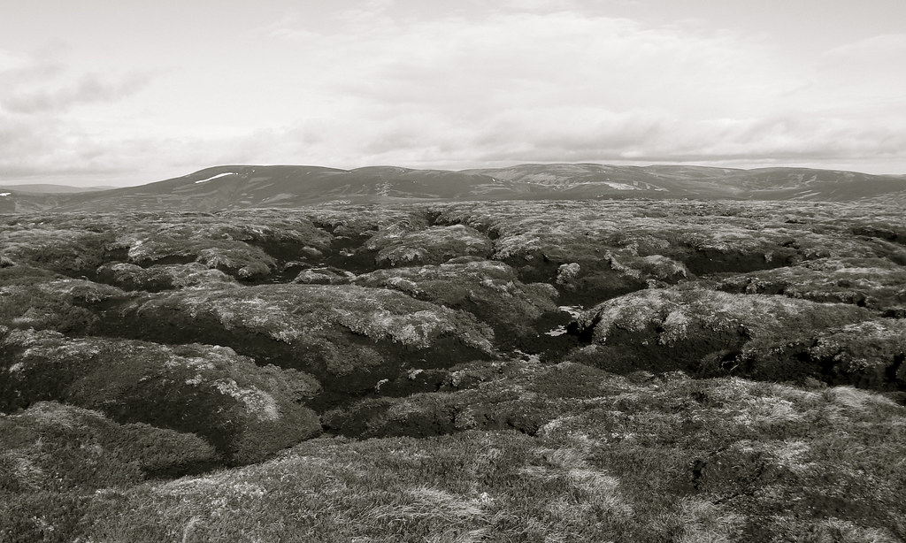
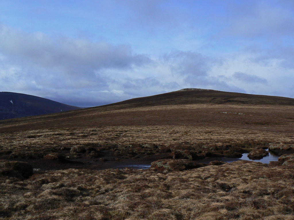
The hags were somewhat tortuous to navigate, as all such things are, but eventually I wended and bobbed my way through them, climbing the final short way to the eastern end of the heathery plateau. The OS mark this tiny cairn as Brown Cow Hill but it is clear that the next lump along is the high point of the hill and so I made for this. The wind up here was brisk and I was soon wrapped up in my buff and hood. The going though was largely good with only a short section of springy moss and bog and soon enough I was on the summit of this lumpy Corbett for a grand height of 829m.
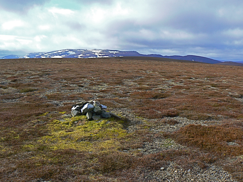
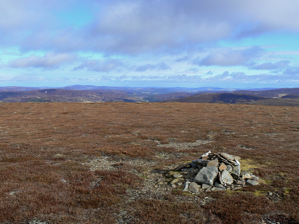
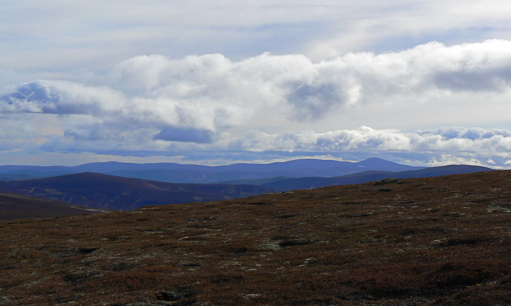
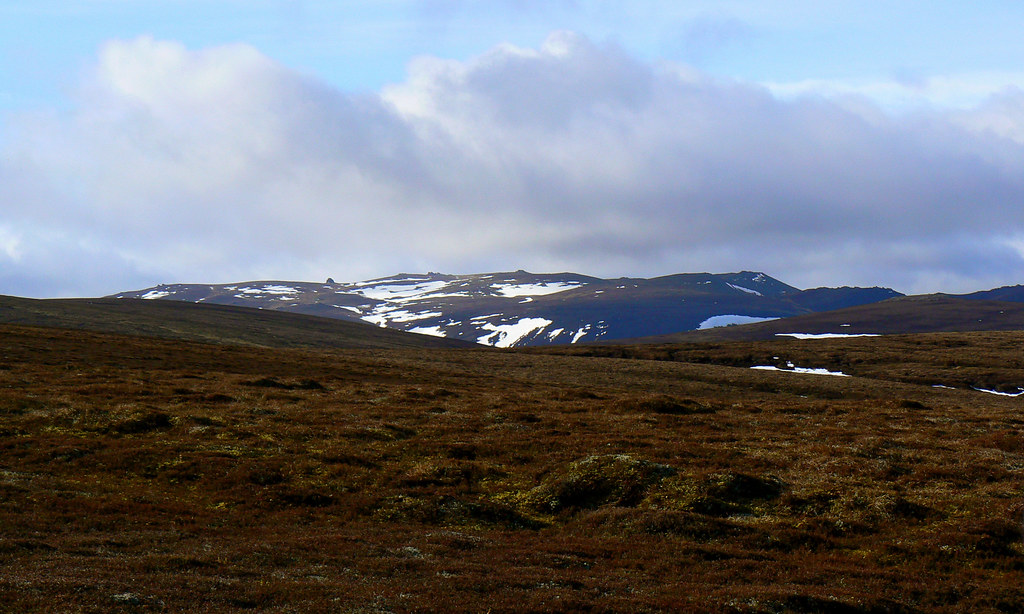
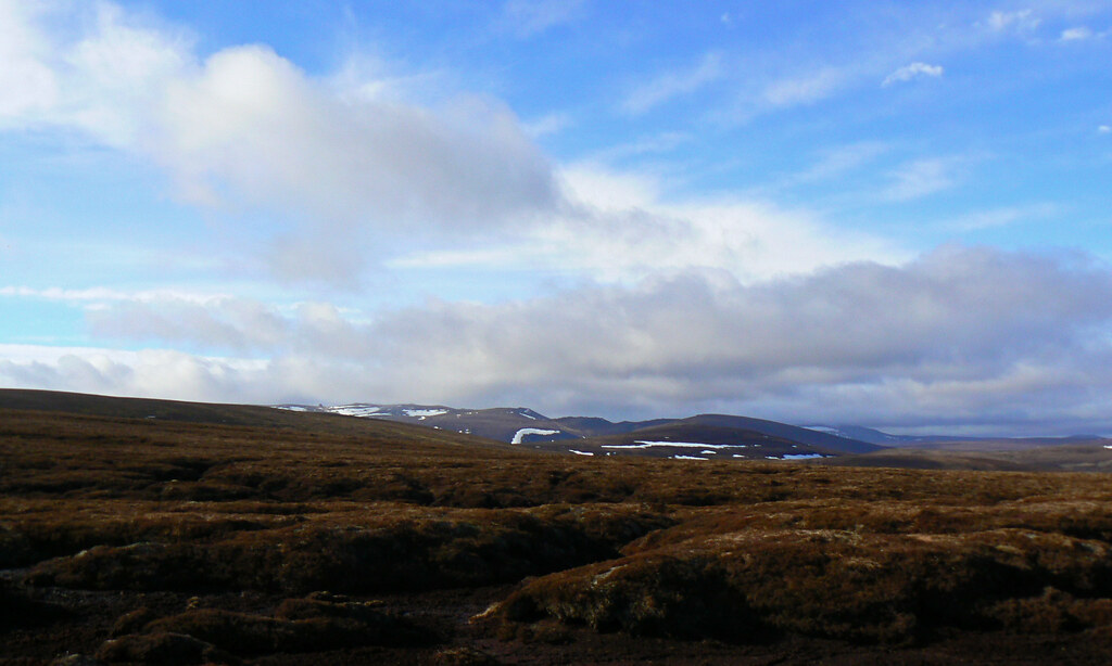
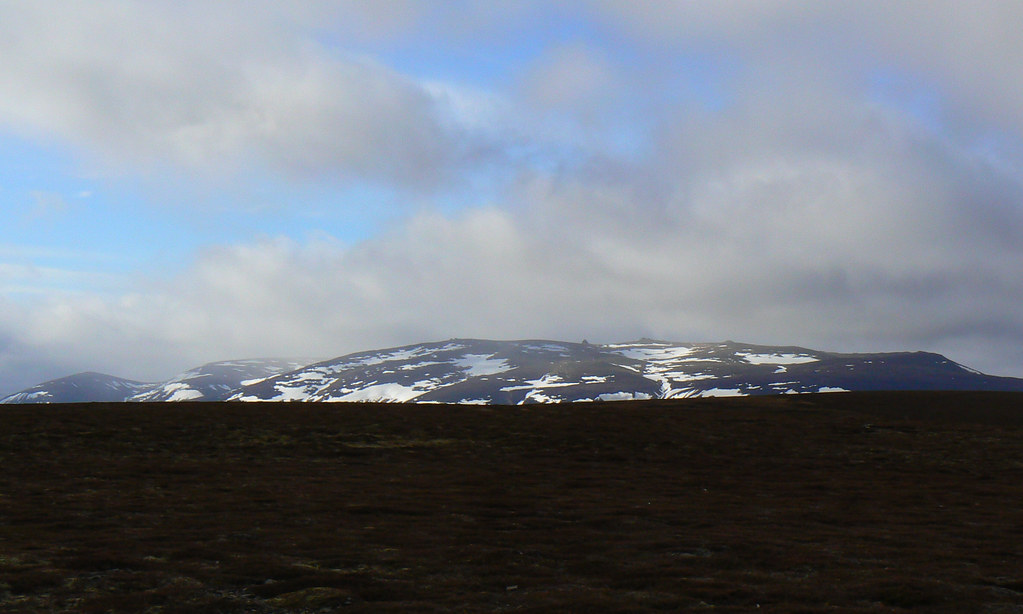
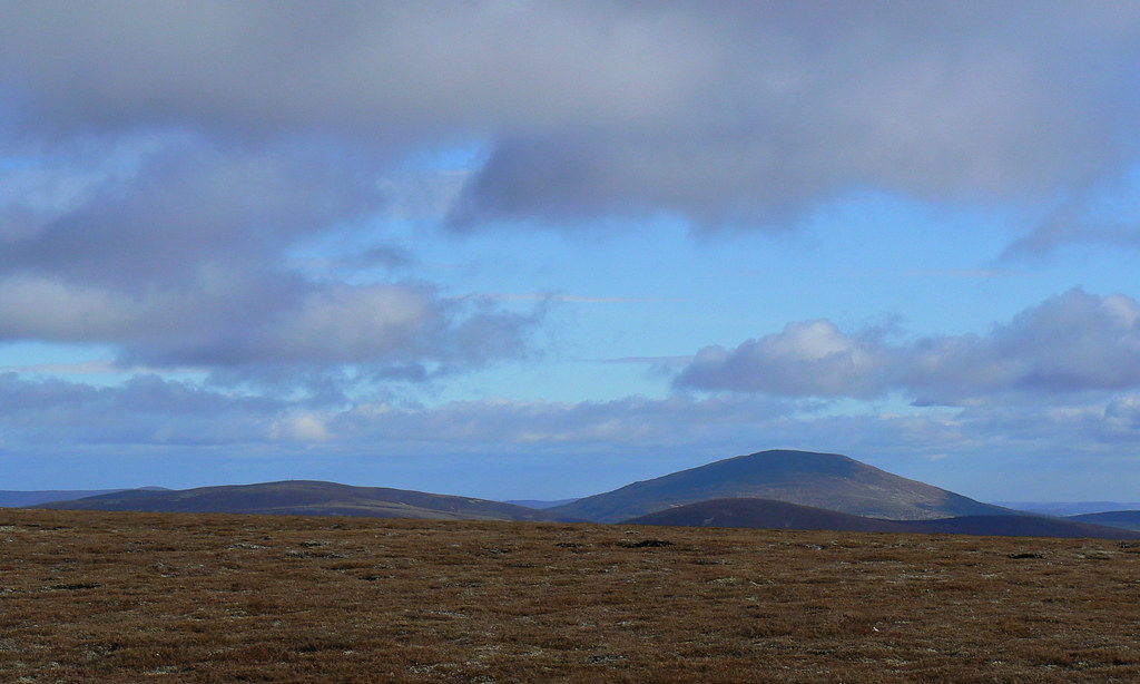
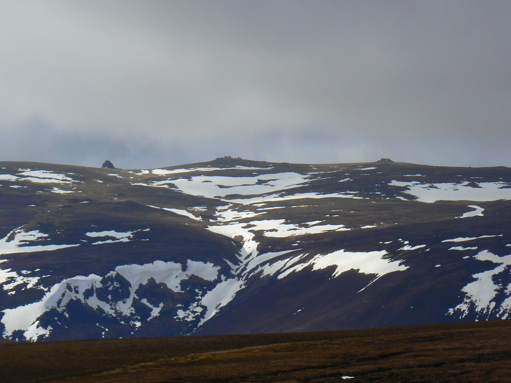
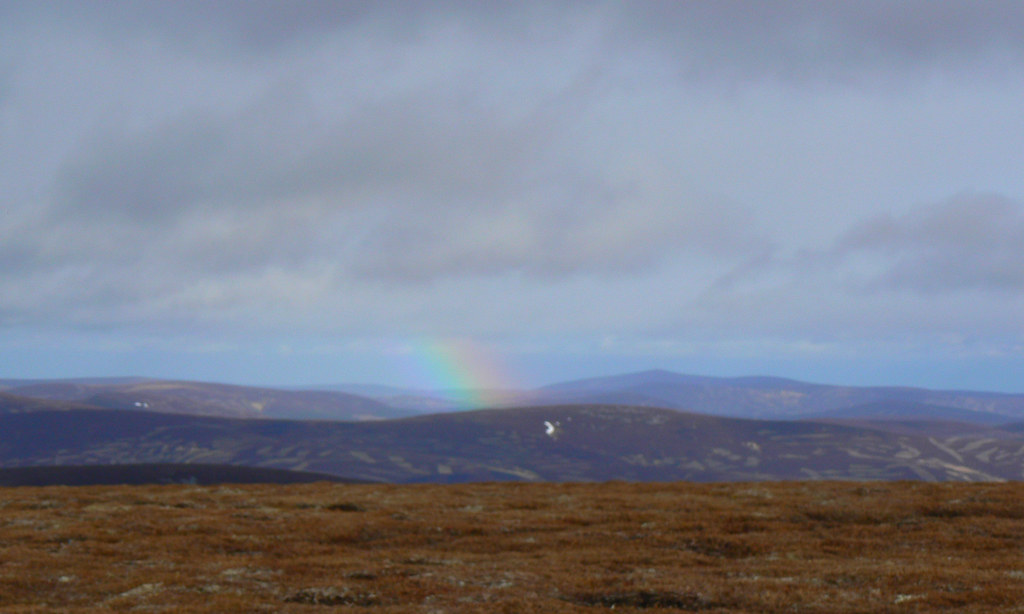
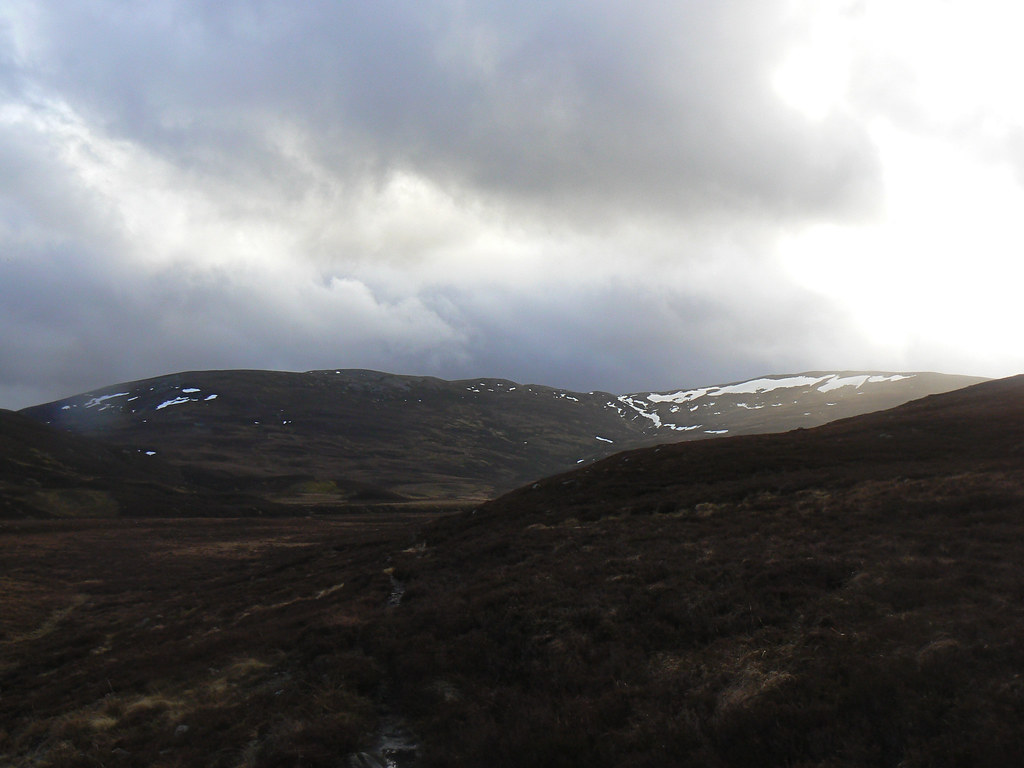
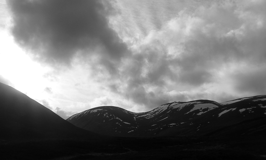
In the clear light of early afternoon the expansive views were fantastic. Ahead of me Ben Avon and its tors caught my eye, snow clinging on in large patches. To the south Lochnagar was shrouded in dark, stormy looking clouds. East the distinctive shape of Morven could be seen above the smaller hills that surround it with the Hill of Fare, near Aberdeen, a long green line to its south. To the north Carn Ealasaid stood at the end of the long, sinuous ridge that was to become my target for tomorrow.
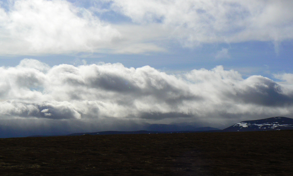
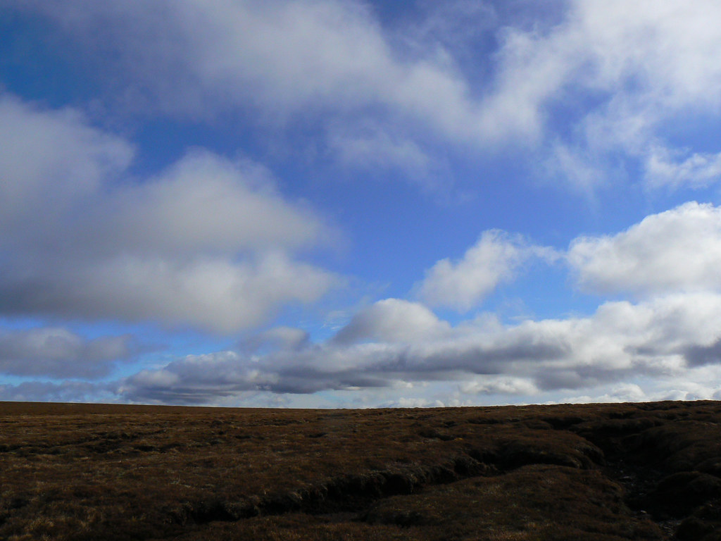
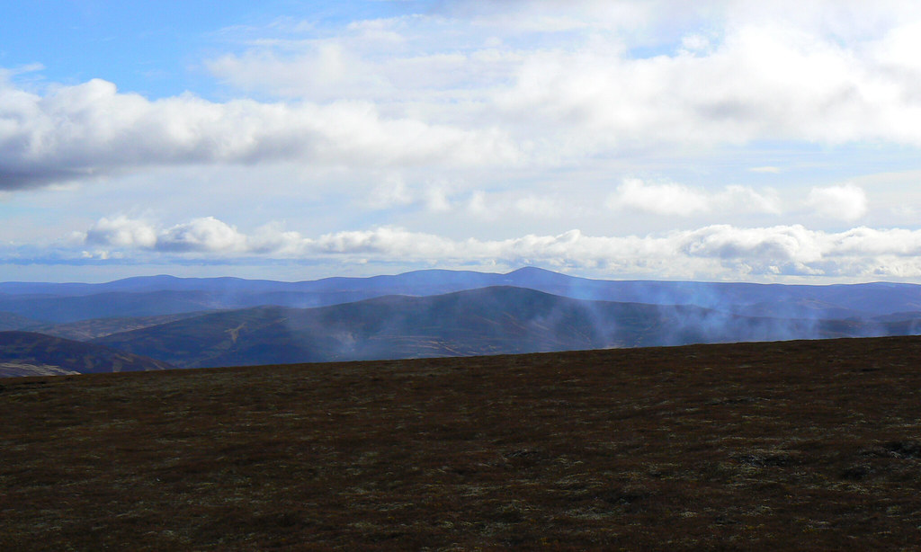
I paused here for some lunch, munching on oatcakes, cheese and salami whilst watching the light change over the Deeside Hills. The wind was certainly blustery and there isn’t a great deal of shelter on Brown Cow Hill. Smoke billowed up from some burning heather towards Crathie and heavier showers were passing in front of the Glenshee hills.
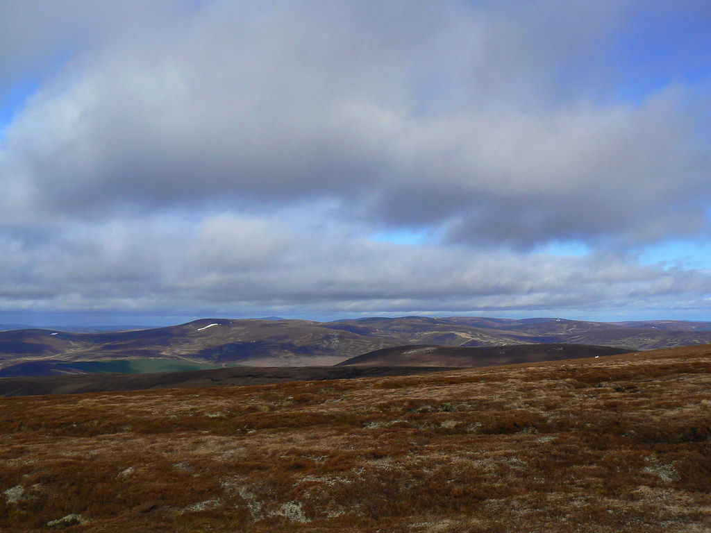
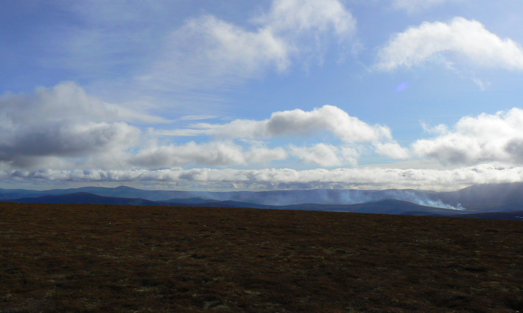
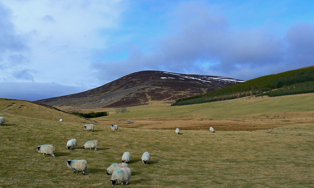
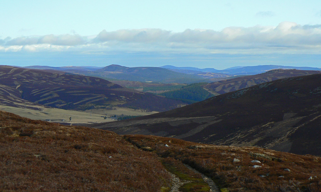
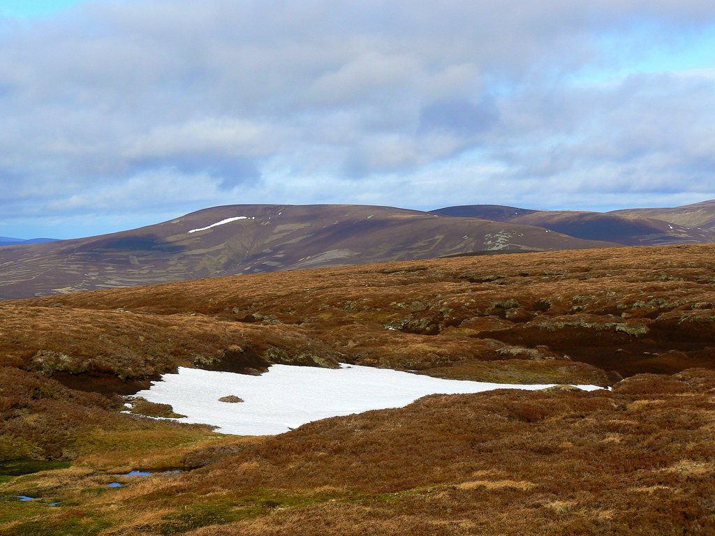
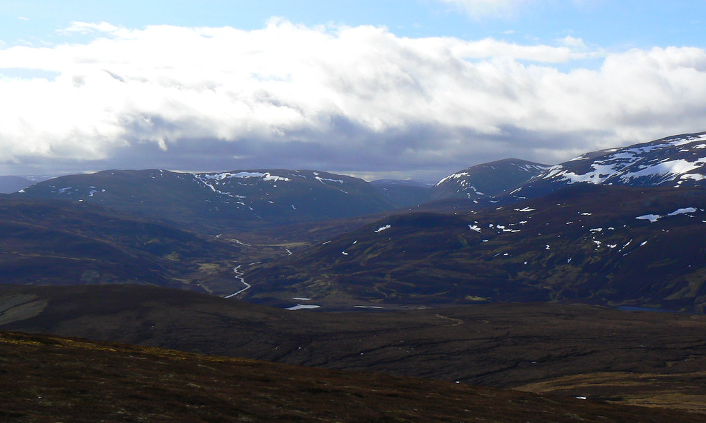
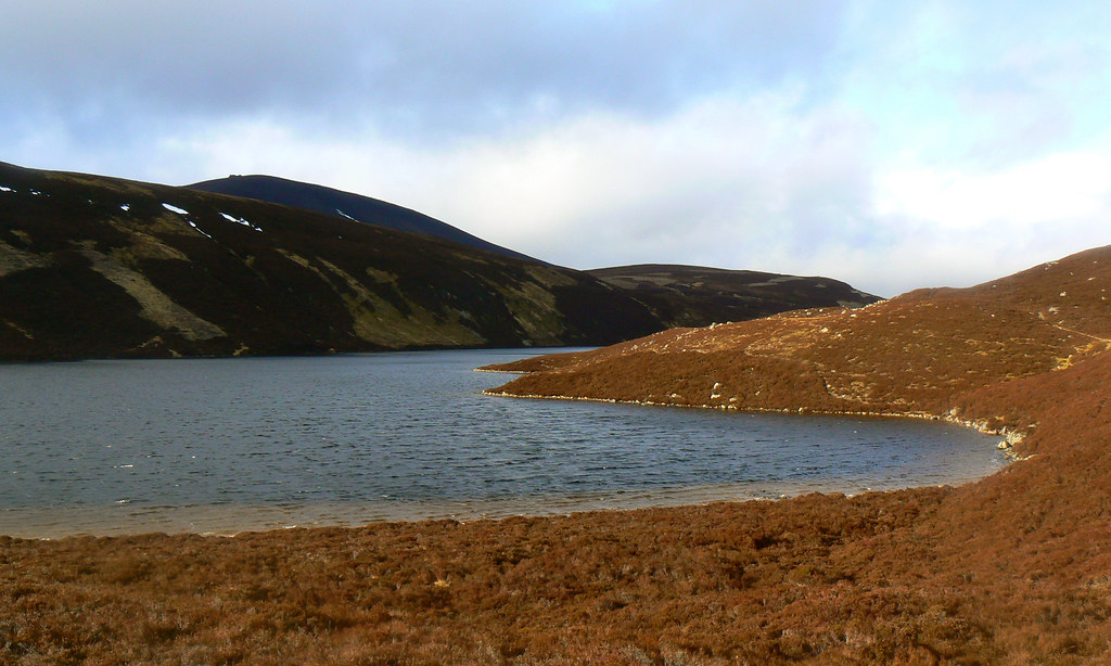
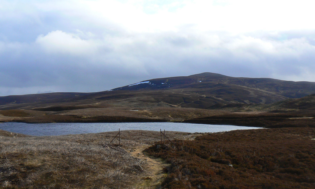
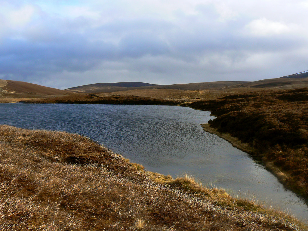
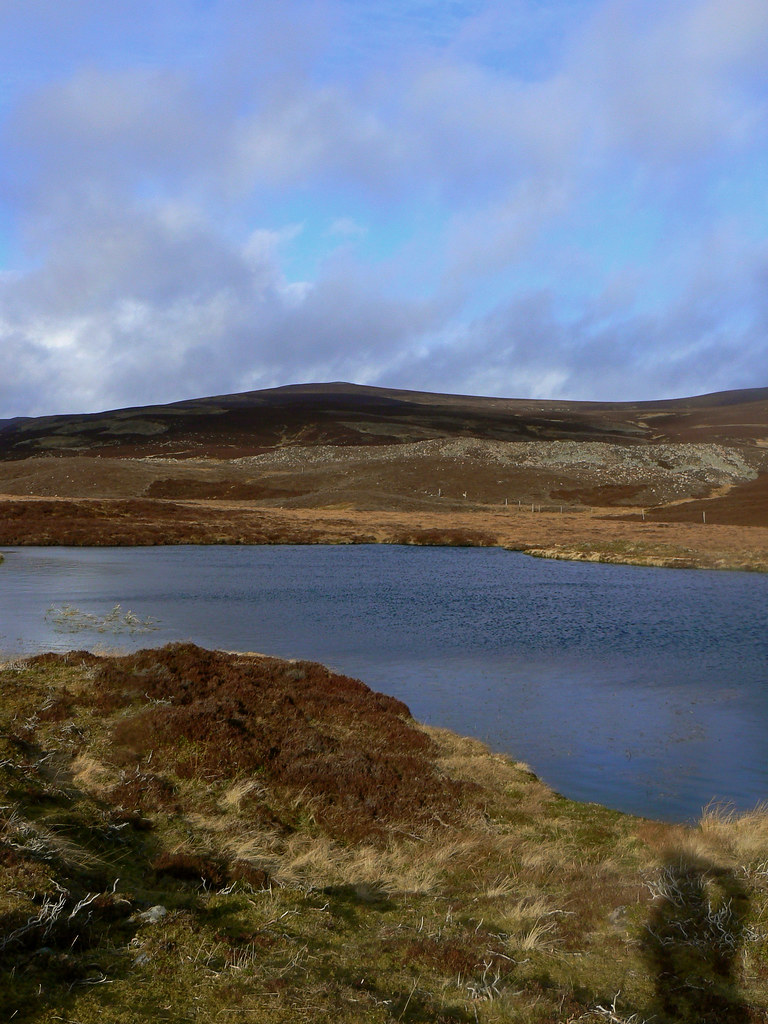
From the summit I continued heading west, crossing the final lumpy summit at the west end of Brown Cow Hill before dropping a short way to the bealach and then climbing up to the rocky top of Meikle Gael Charn. Here the showers which had been bothering other hills finally caught up with me. Luckily I did get a few fleeting views down Glen Gairn and Loch Builg and across to Ben Avon before I tucked the camera away into a waterproof bag and started to drop down to the loch.
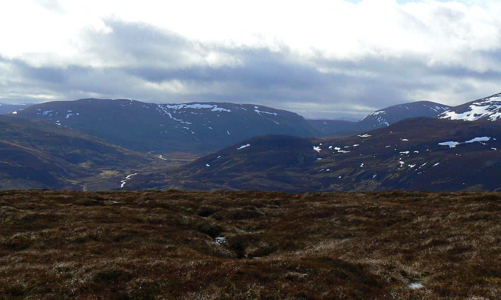
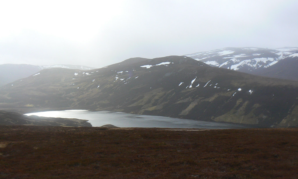
The ground is rough and uneven but the slope gentle enough and only a light rain was falling. Beyond it a watery sun shone through the clouds and so once I was down at the loch I stopped off to have a breather besides its peaty water.
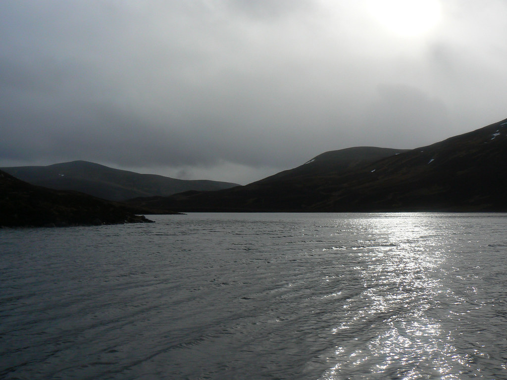
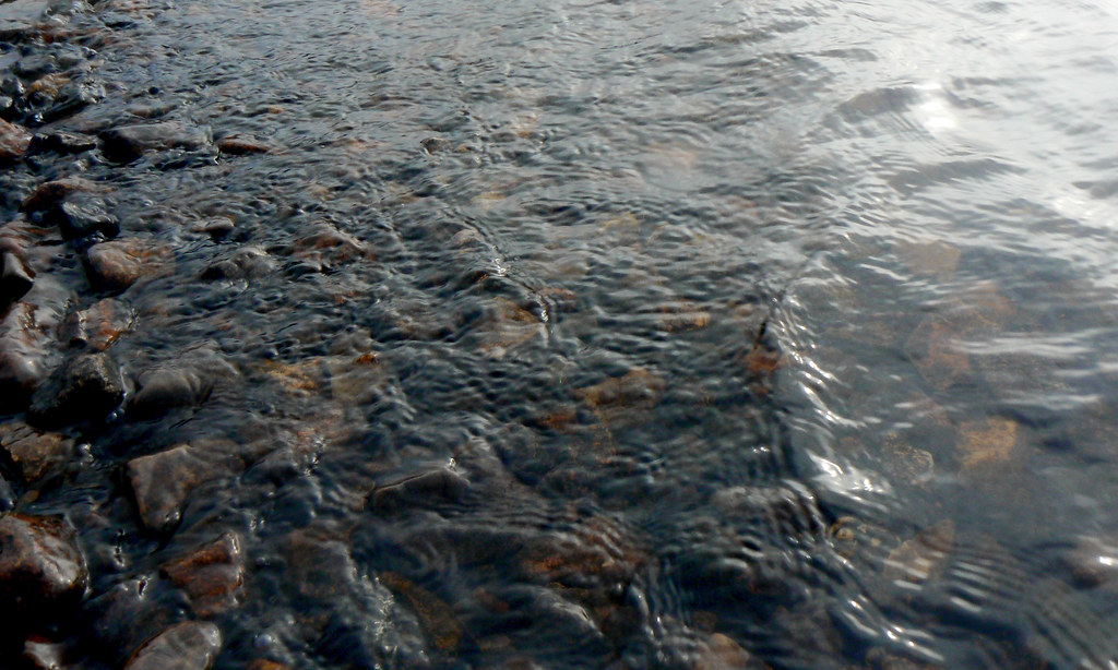
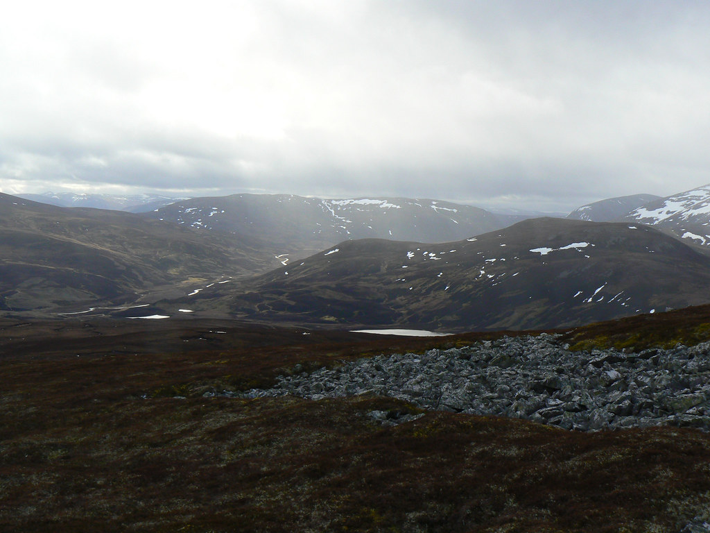
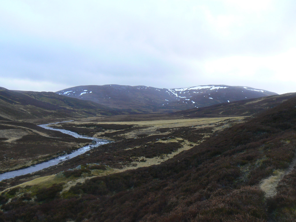
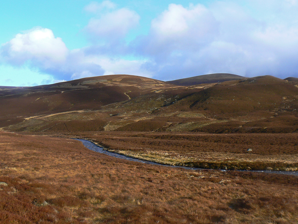
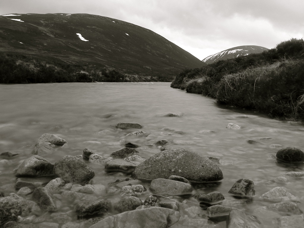
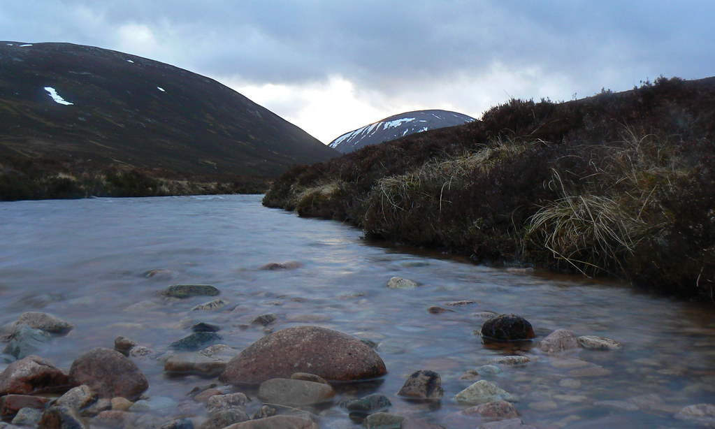
Now all I had to do was push on to where I wanted to camp for the night, further west along Glen Gairn. I followed the path along to the end of the loch and then joined a series of landrover tracks which circumenvented the marshier ground near the smaller lochans and pools. Eventually I picked up the stalkers path which climbs up above Glen Gairn and followed this, getting my first close up view of the River Gairn itself.
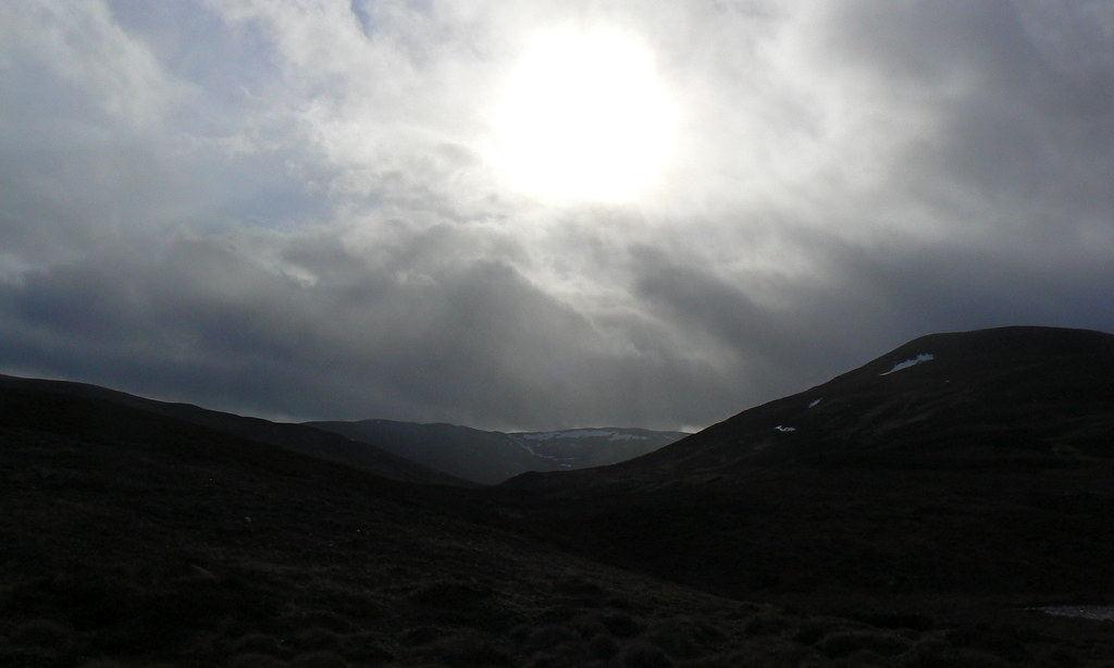
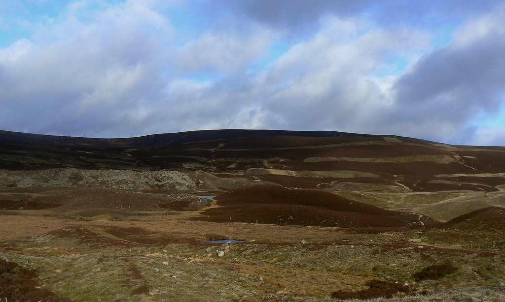
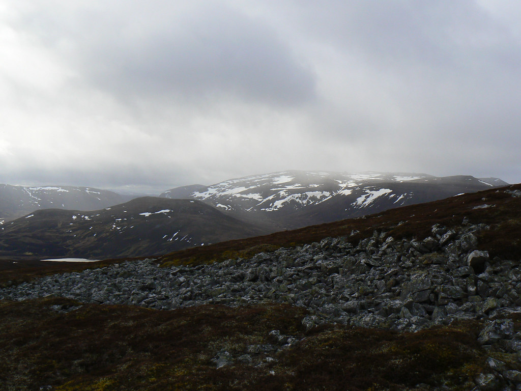
The glen is wide and relatively fertile, strips of tussocky grass separated by wide swathes of heather. The stalker’s path is excellent and I made good progress despite the more persistent rain. Eventually it let up and I started to dry out. This process was speeded up once I turned a corner of the glen and came into the face of a strong westerly wind. It didn’t seem too bad so I continued on, making for a spot where I would be in a good position to climb Ben Avon the next day.
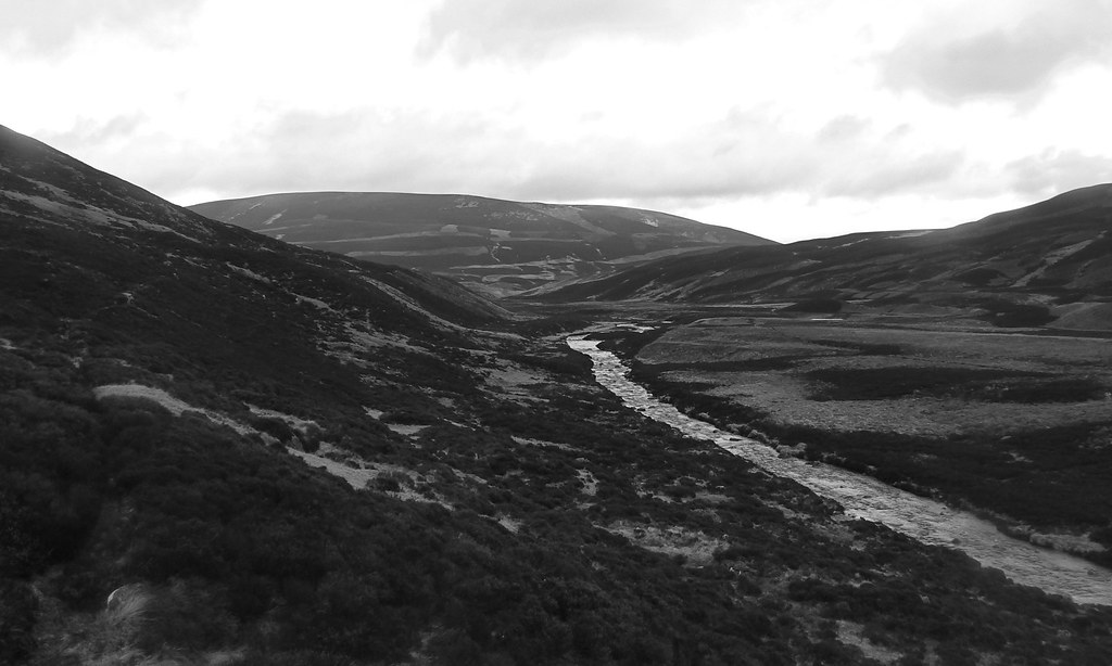

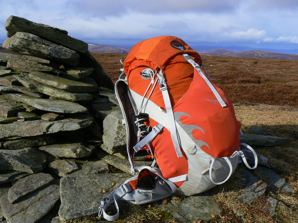
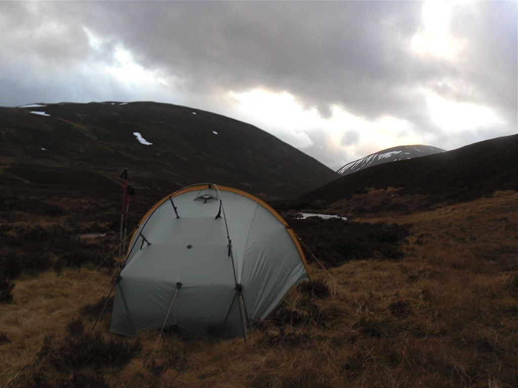
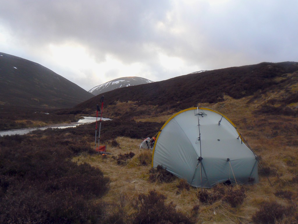
As I approached the narrowing in the glen I saw a good sward of grass and went over to investigate. It was good: flat, grassy and close to the river. Unfortunately it was not to be. I spent a good while trying to get the tent up but each time it was almost erect a ferocious gust would blow through the valley and tear all the anchors out. I struggled to keep hold of the tent as it billowed sail-like in the wind. The tent was buckling, even with crossover poles on and it seemed that the wind was strengthening as evening approached.

Eventually I saw sense and packed everything back up, returned to the path and backtracked about a kilometre or so to a point where the river bent closer to the track and came into the shelter of a small shoulder of hillside. It was just enough to deflect the wind and although there was a breeze it was much, much better than the first site. I dropped to the river and though the ground was a bit boggier I found a Scarp sized area of dry ground. The tent went up easily this time though and soon I had everything unpacked and sorted.
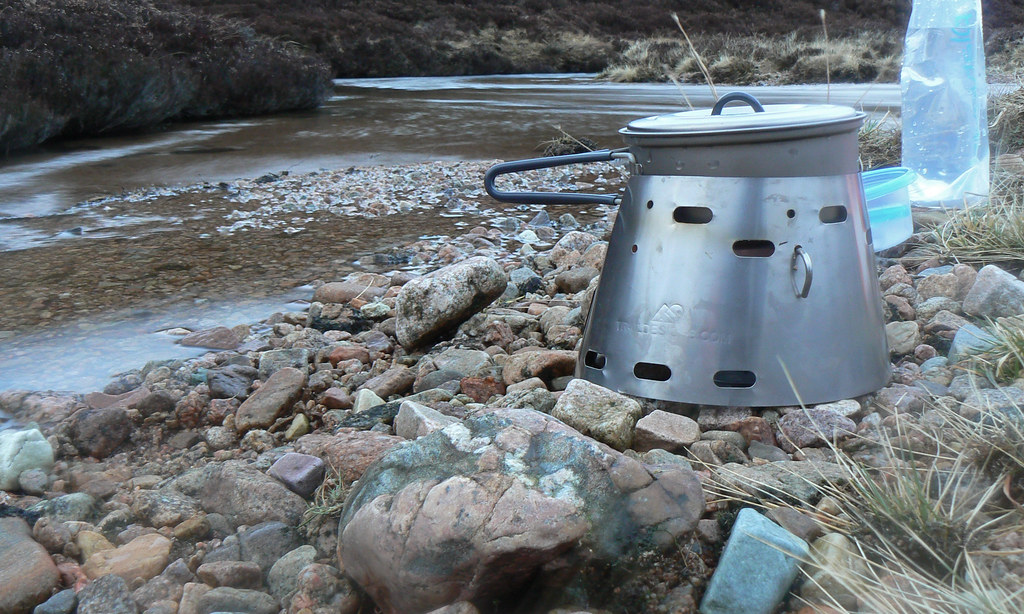
In the gathering twilight I set to brewing some water for a meal and drink. I had brought along my Caldera Cone but in hindsight meths was perhaps a poor choice for this trip. The breeze made it difficult to light and the low water temperature (a lot of snow melt I’m guessing) meant it took a long time and quite a bit of fuel to boil sufficient water for food and drink. Eventually though and with darkness falling I got into my tent and enjoyed rehydrated fish and potatoes (my finally pack from Expedition Foods) followed by a caramel latte and some dark chocolate.
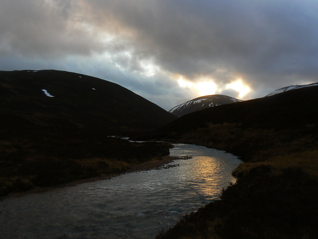
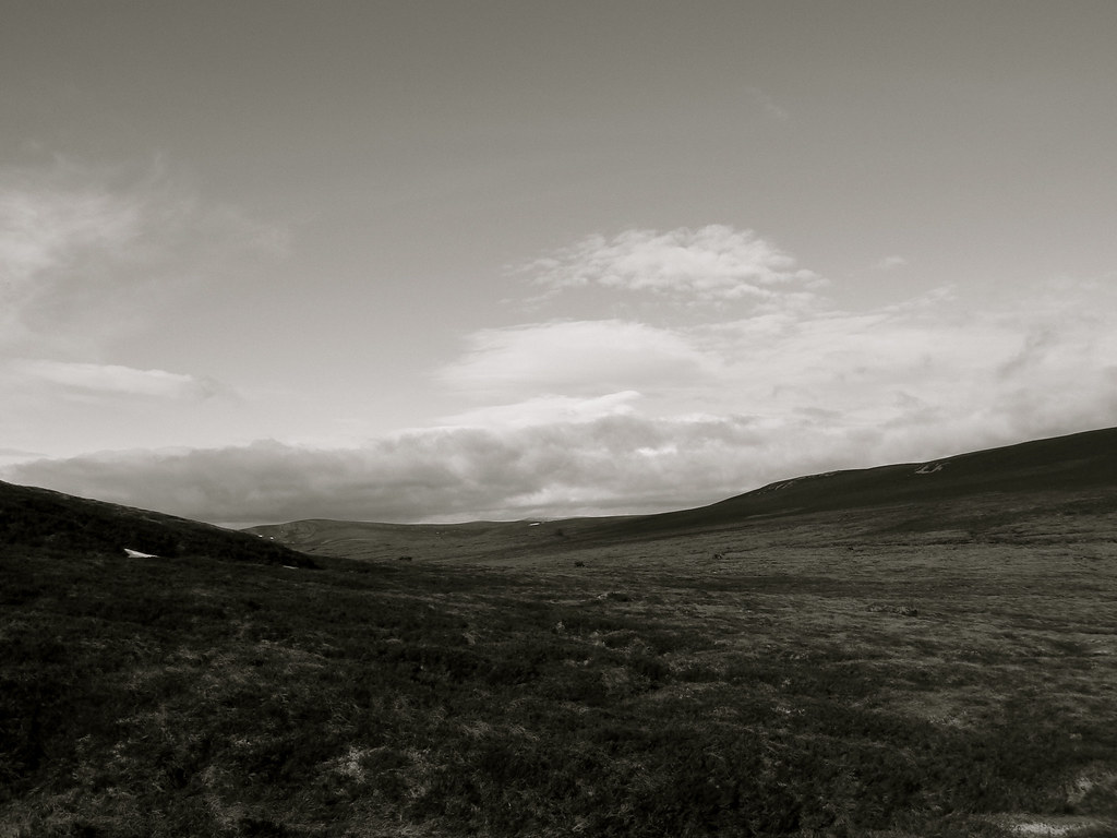
Although dusk had come with increasing cloud, by around 8pm the sky was much clearer. I had been reading in my tent but now with the stars out, I got out to have a look around. In fact, the sky was incredible. In the cloudy west there was a hazy view of the moon and Venus, whilst to the south Orion strode across the sky, the stars blazing white and orangey red. Throughout the evening I kept on reading but with half an eye on the tent door, watching the stately progress of the stars. By half past ten the Moon had set, leaving a beautifully dark sky. Thousands of stars lit the cosmic dome and the Milky Way arced directly above me. I dragged out my mat and sleeping bag and lay, cosy and warm, looking up into the wonders of the northern sky.