Date: 11th February 2012
Distance: 16.45km
Ascent: 126m
Time: 5hrs 14mins
Hills: None whatsoever
Weather: Mild, light breeze, later drizzle turning to light rain
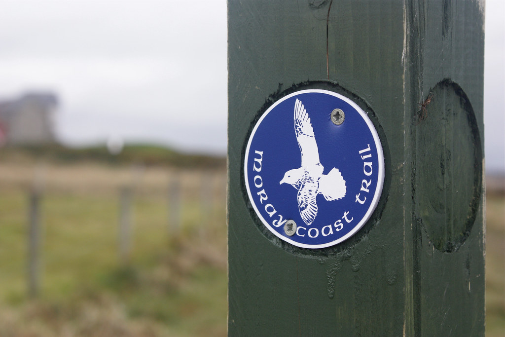
Route: View on OS Maps
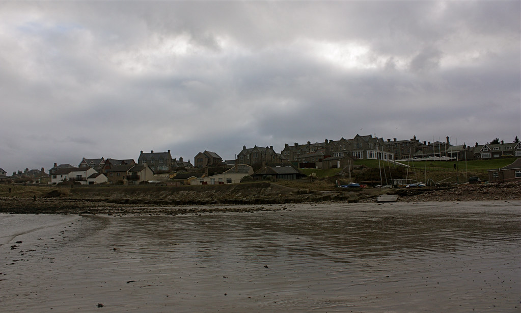
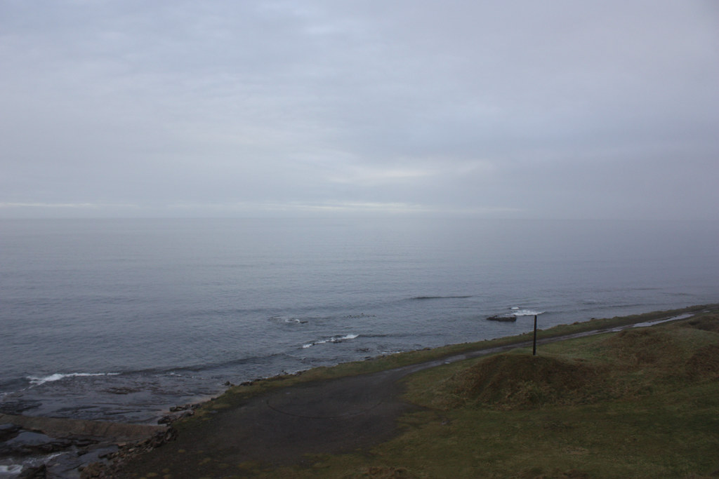
Lossiemouth harbour on a steely grey Saturday morning in February is a quiet, empty sort of place. There were only a handful of dog walkers on beach, an old gentleman wandering down the street with his newspaper, and twenty-seven eager Stockets ready to face the perils of the Moray Coastal Trail.
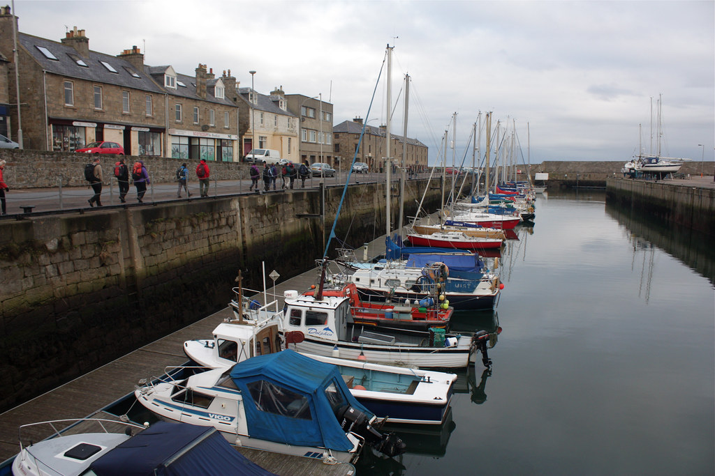
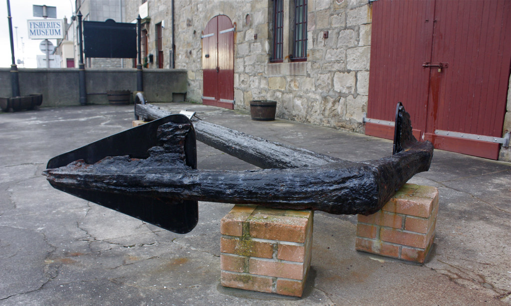
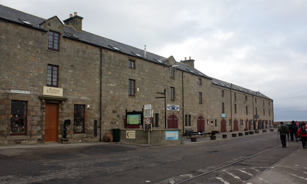
We were dropped off close by the docks and soon set off past the Fisheries Museum with its large anchor and life-rings. At the end, rather than get wet feet, we took a left turn along a road of fish warehouses and car mechanics. This soon brought us out onto the first stretch of real coastline.
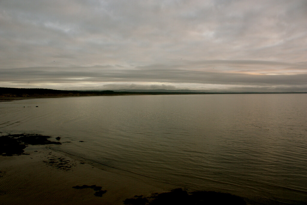
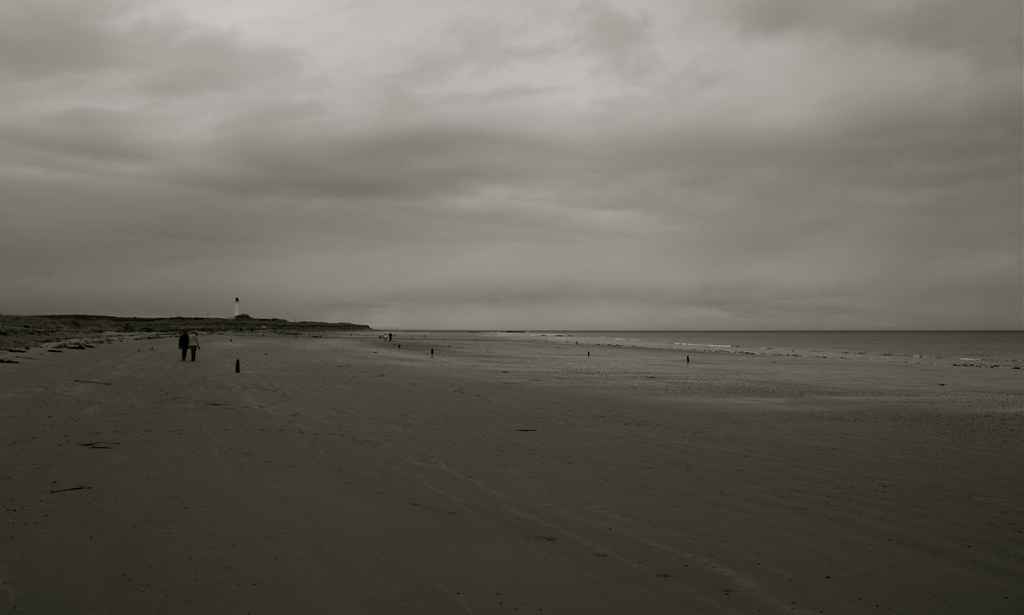
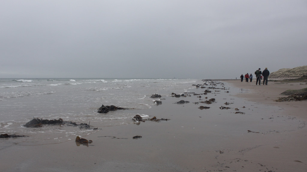
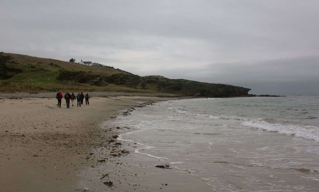
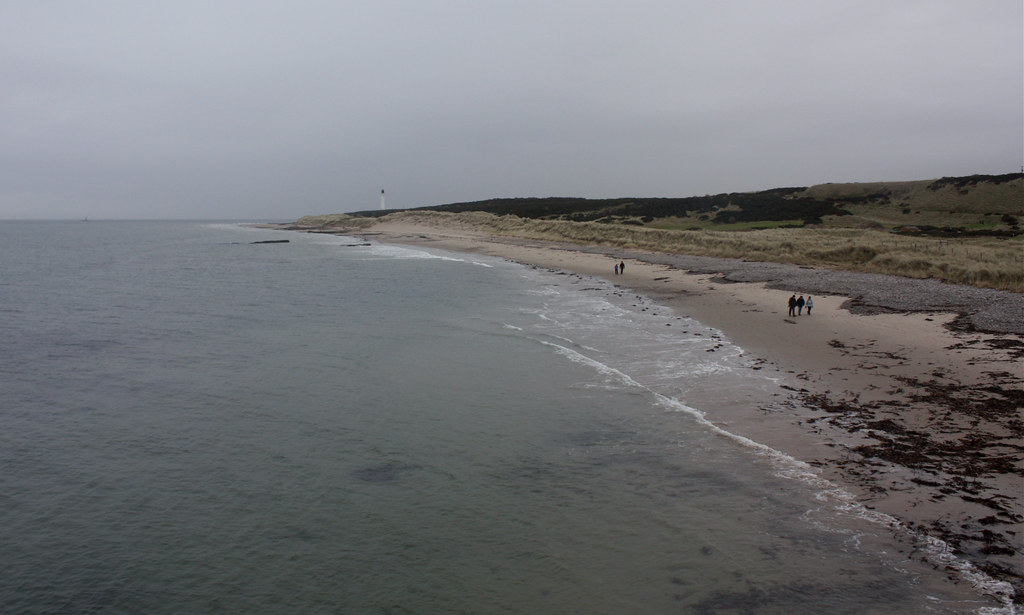
With the grey houses of Lossiemouth behind us we passed the sombre tank trap before finally taking to the damp, sandy beach. The walking was easy going, keeping pace with the early morning leg-stretchers and breathing in the fresh sea air. With no climbing to be done people were happy to go at their own pace and soon groups formed, people chatting amiably amongst themselves.
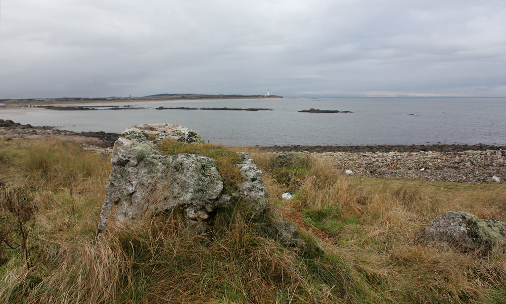
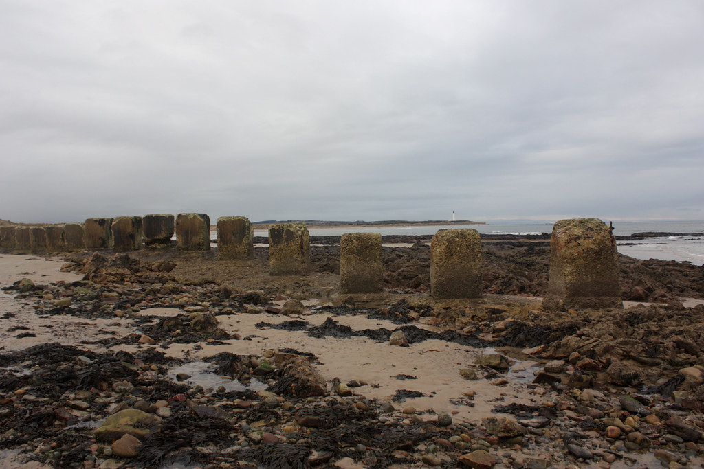
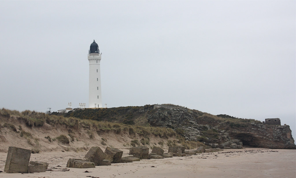
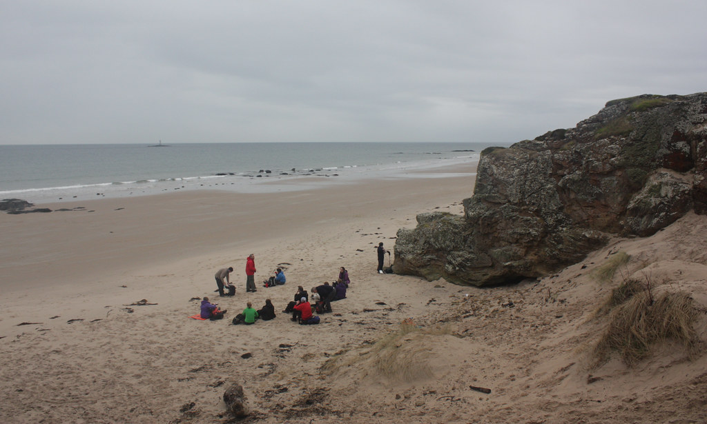
At the lighthouse we stopped for elevenses. It stands prominently on a jumble of rocks littered with yet more coastal defences. Whilst some people made themselves comfortable, others went off to explore the sandstone cliffs and caves whilst down on the beach a Jack Vetriano re-staging was undertaken.
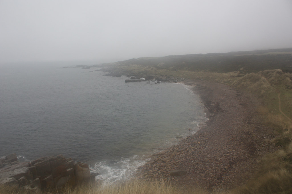
At this point, though the skies were grey, it was mild and only the lightest of breezes was drifting in off the Moray Firth. We ambled onward, eventually reaching the end of the beach where the day’s major ascent began.
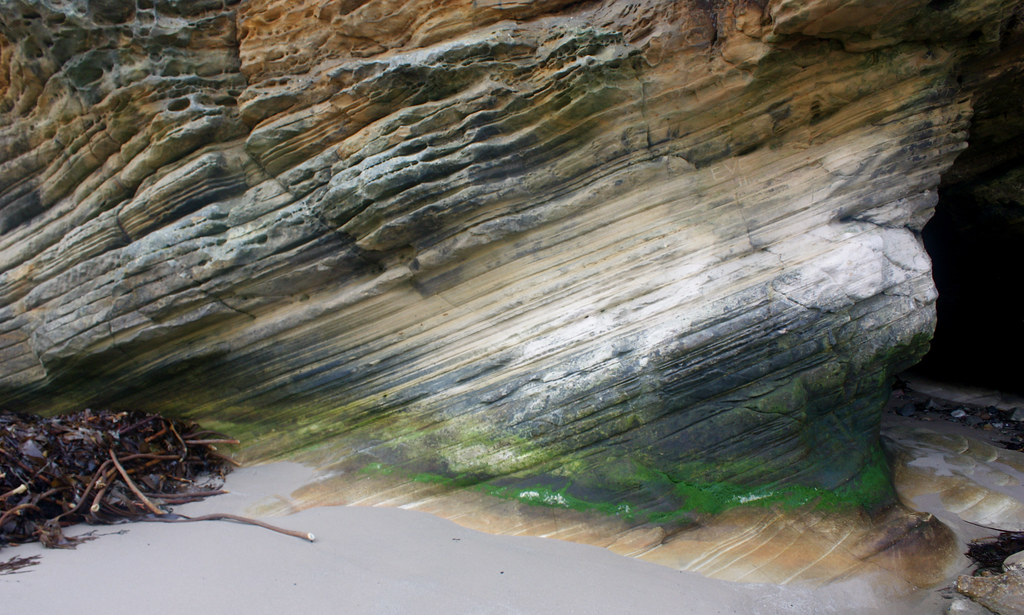
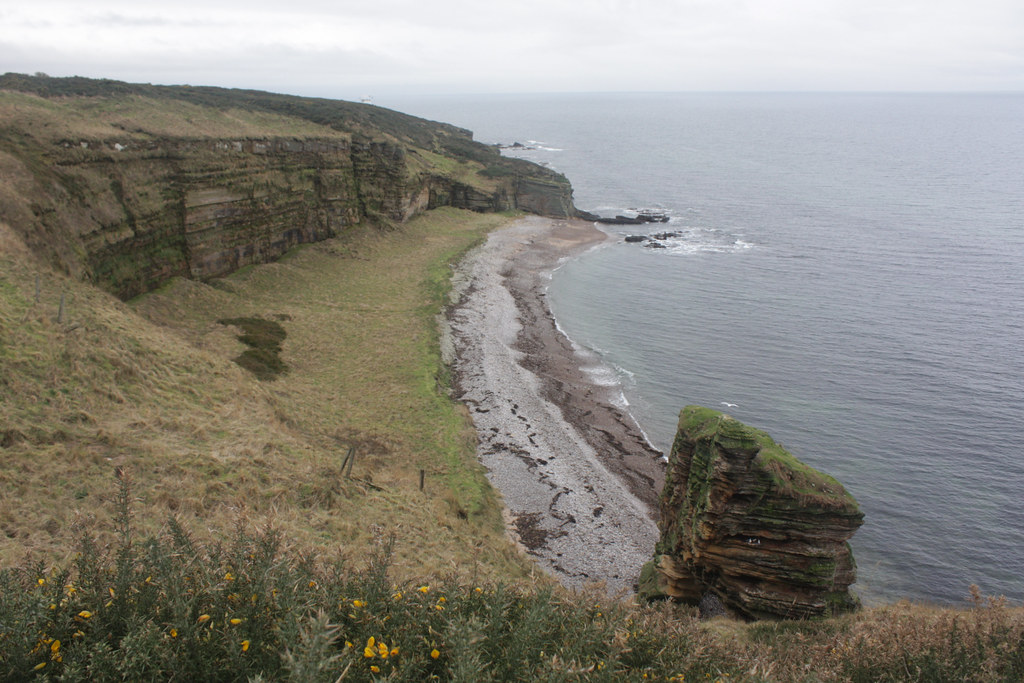
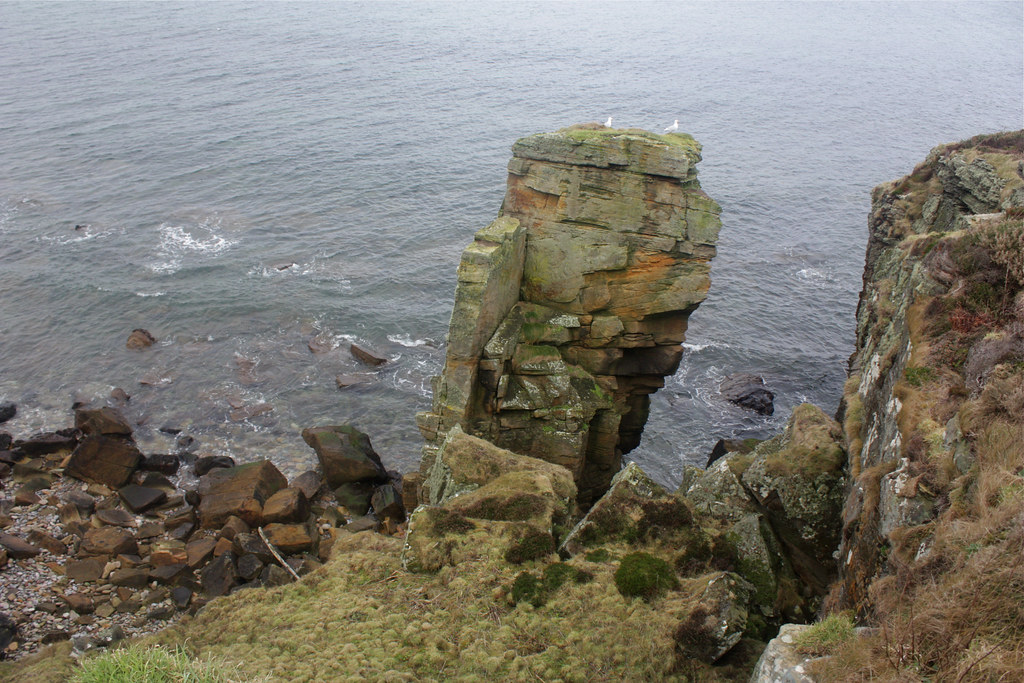
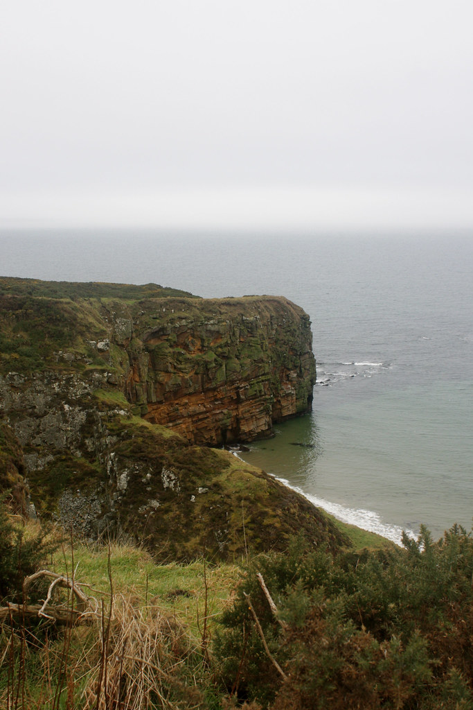
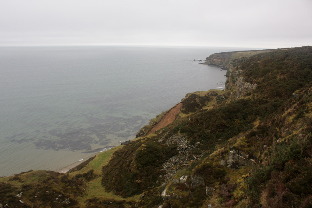
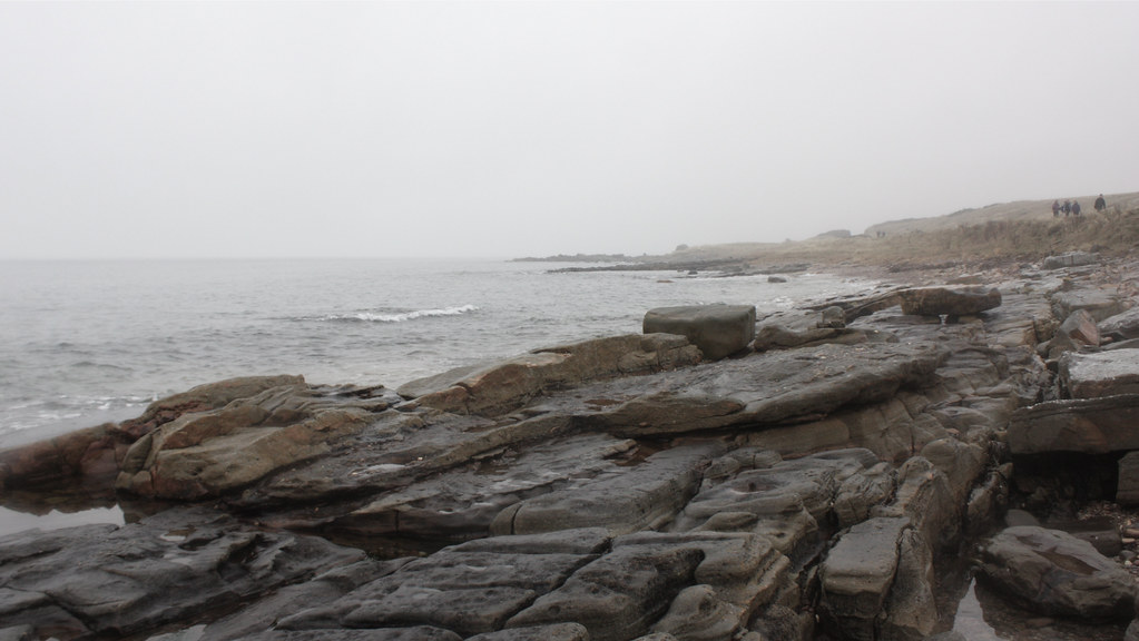
Climbing up past fascinating examples of sedimentary and striated rocks, the trail led us up onto the top of the cliffs near Covesea. We followed the narrow track as it twisted and turned around the crinkly coastal contours. The track offers fantastic views and we paused often to gaze down into idyllic coves, admire amazing arched sea stacks and watch Fulmars wheel and dance above the rolling sea.

All of a sudden there was a cry and everyone had stopped to see the distinctive fins of a pair of dolphins break through the waves. They were ambling along at much the same pace as us, also making towards Burghead. Sadly they were just a little bit too far away to get a photo.
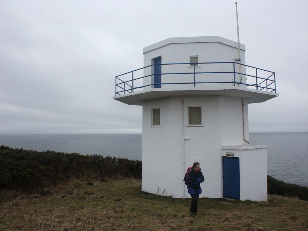
From the delights of the high cliff top path we left the coast slightly after pausing at the Coast Guard Station (mysteriously unmarked on the OS map). The broad path runs between high gorse bushes until you reach the large quarry at Clasach. Here the drizzle eased slightly so we paused for a bite of lunch. As the rain got heavier again we moved on, skirting the edge of the quarry, and soon encountered the famous (?) dinosaur footprints. A series of rocks, uncovered during quarrying, have been dug up and are arranged in a semi-circle. The indentations were not overly impressive but the steady drizzle may well have dampened our paleontological interest.
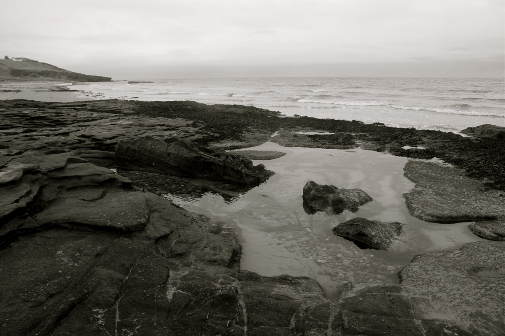
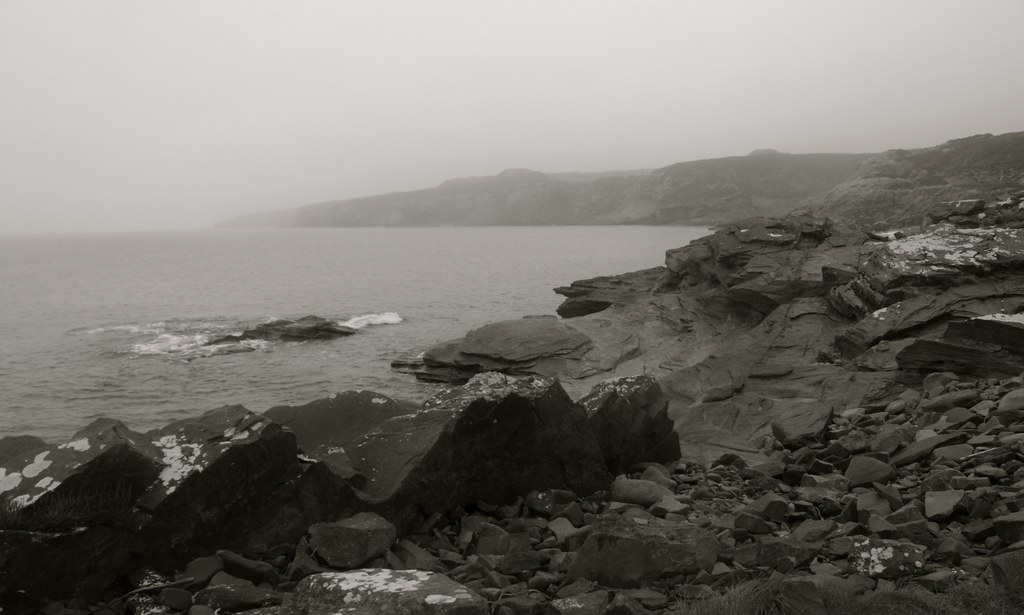
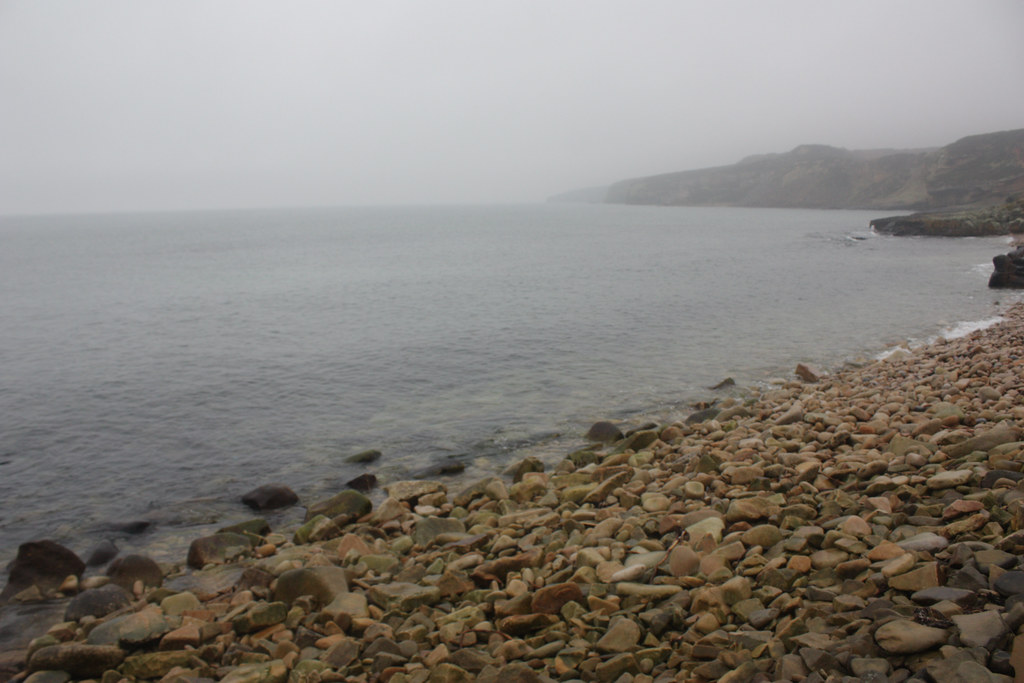
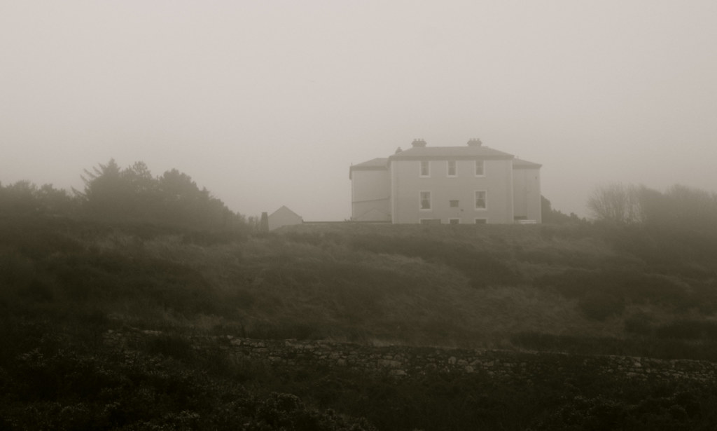
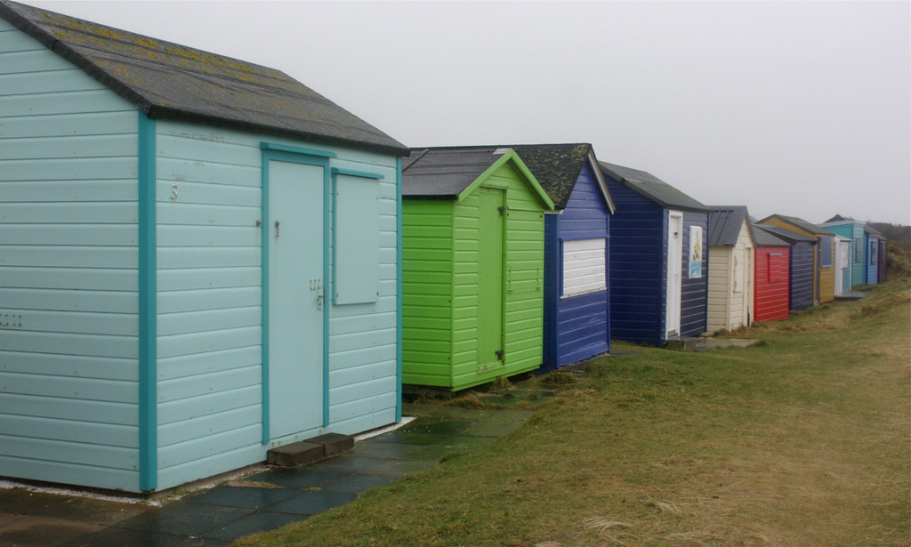
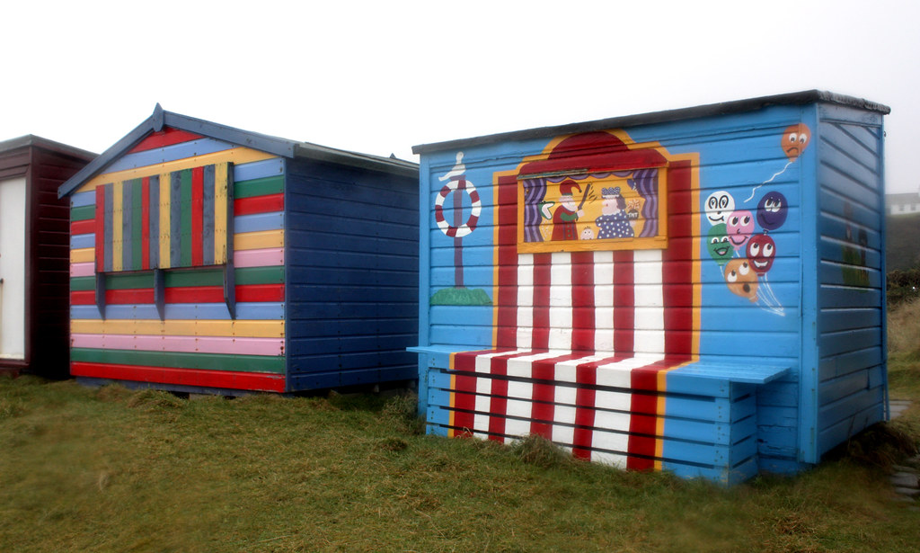
Continuing on brought us back down to a series of small rocky bays separated by high dunes which were eerie and other-wordly in the mist. Eventually the ominous Hopeman Lodge loomed out of the swirling fog and we found ourselves walking alongside a long row of colourful beach huts, some with more extravagant designs than others.
At Hopeman itself we again regrouped, observing another walking group who suddenly drove off in cars. We took to the road to make our way through the village as the signing around the caravan park wasn’t very clear.

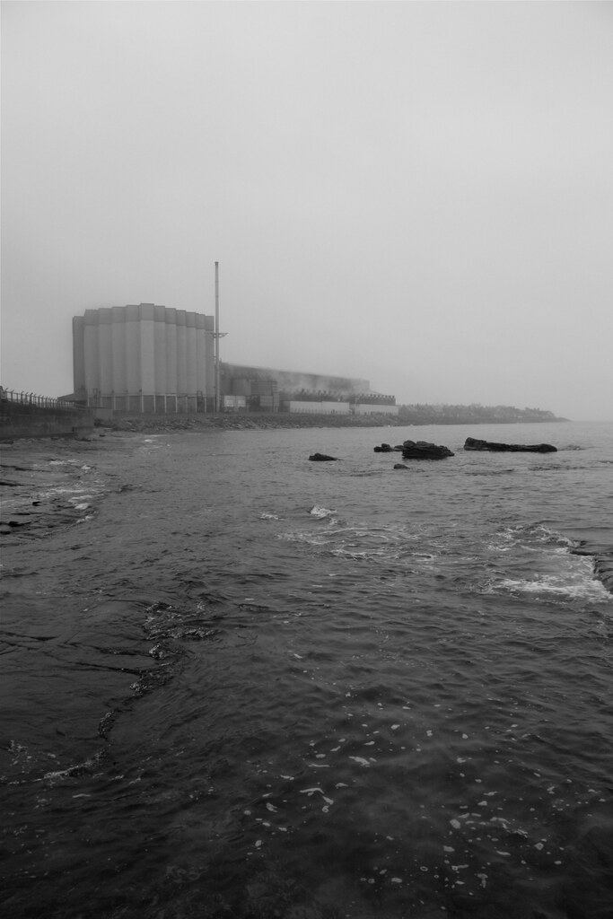
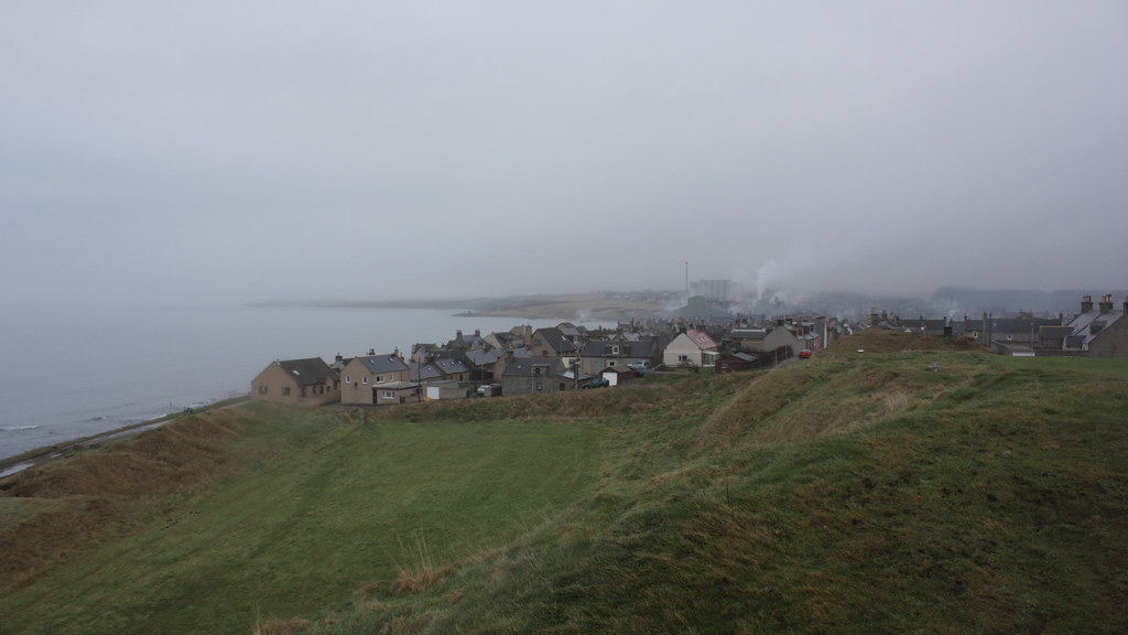
Now we were on the final stretch which takes you along the route of a dismantled railway line. As such it is flat, easy going although sadly down in a cutting for most of the way so the views are limited. The last half mile or so however brings you back out onto the beach, this time just short of Burghead. The Malting Plant dominates the eastern side of the town and with mist and steam swirling around it the place looked like a post-apocalyptic film set. Endeavouring to get a good shot of the plant I had an entertaining encounter with some very slippery rocks but luckily managed to save my camera from damage.
To reach the finish point we followed the coast around the outer street of Burghead until we reached the end of the spit of land that juts out into the Moray Firth. We climbed a short sharp hill up to the site of the Clavie and the remains of a Pictish Fort and here we waited to be picked up.
The local pub in Burghead was very welcoming (mainly because the lounge was empty and had plenty of seats) and we enjoyed a relaxed pint, sharing photos, swapping stories and generally looking back on what had been a pleasant day, despite the rain and drizzle during the second half.