Date: 18-19th May 2012
Distance: 46.41km
Ascent: 1,598m
Time: 9hrs 8min (walking)
Hills: Carn nan Gobhar (992m, Munro)
Weather: Rain and snow showers, low temperatures and breezy at height.
Route: View on OS Maps
The weekend weather forecast had been a constant tease. As the week progressed some days it said that Saturday was supposed to be best, other days it was to be Sunday. I set out anyway on Friday afternoon with sufficient food packed to last me a couple of days in the hills. I would just have to see what the conditions were like and take any fair weather opportunity that came along. I'd already noted a couple of foul weather alternatives if everything went south.
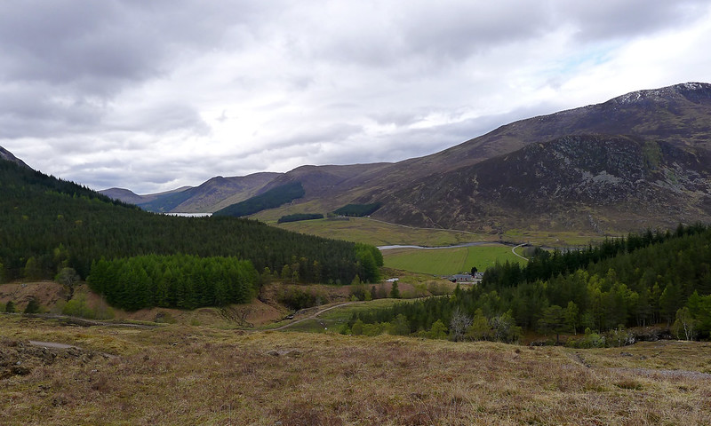
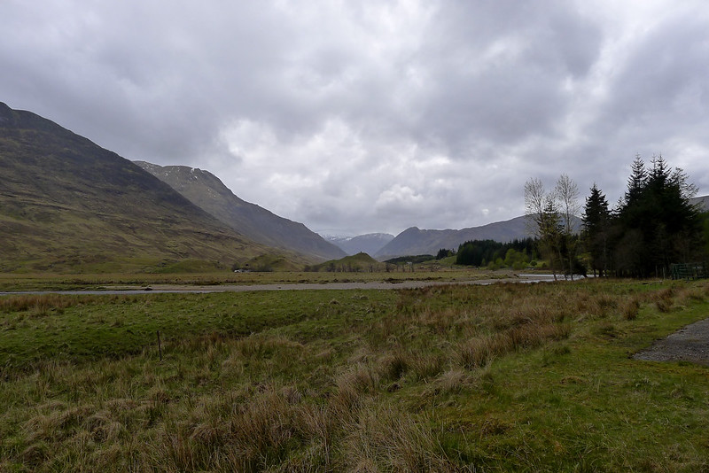
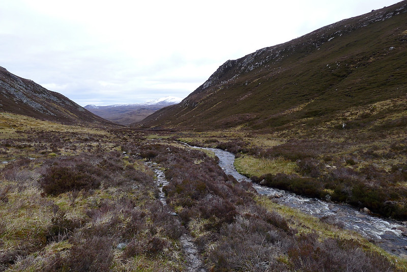
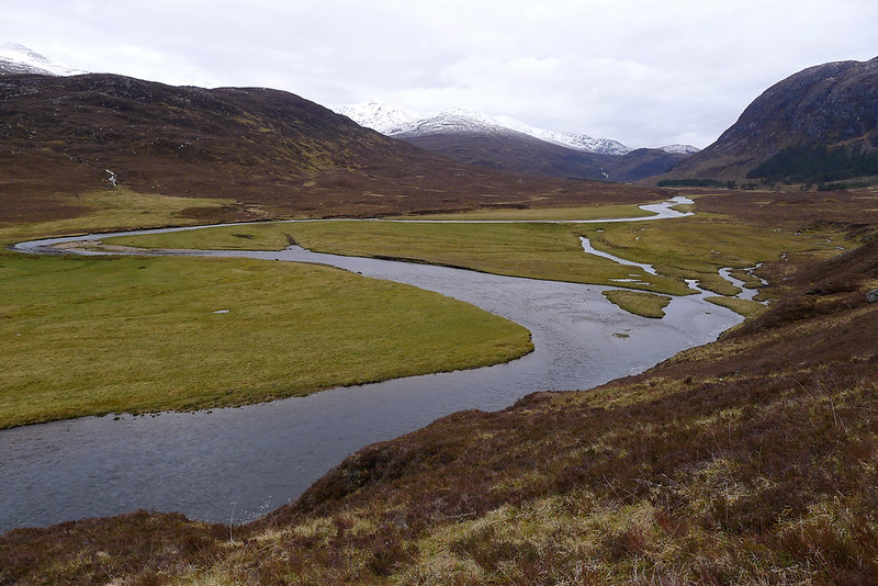
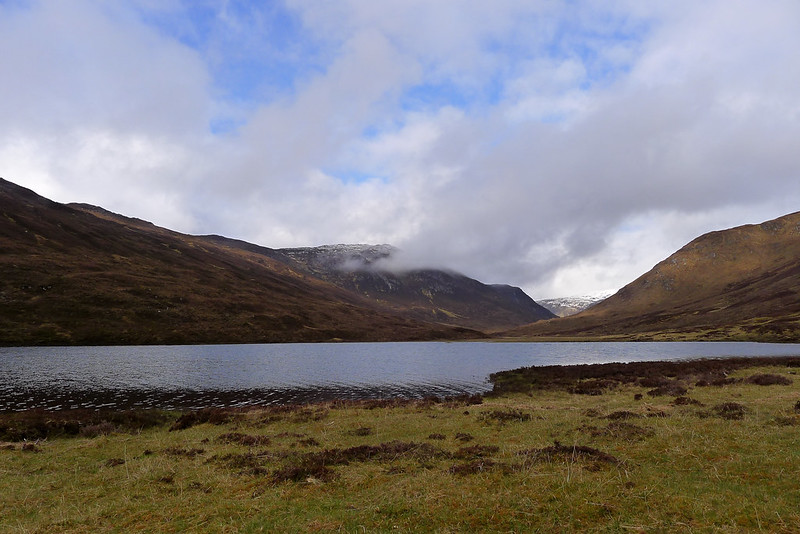
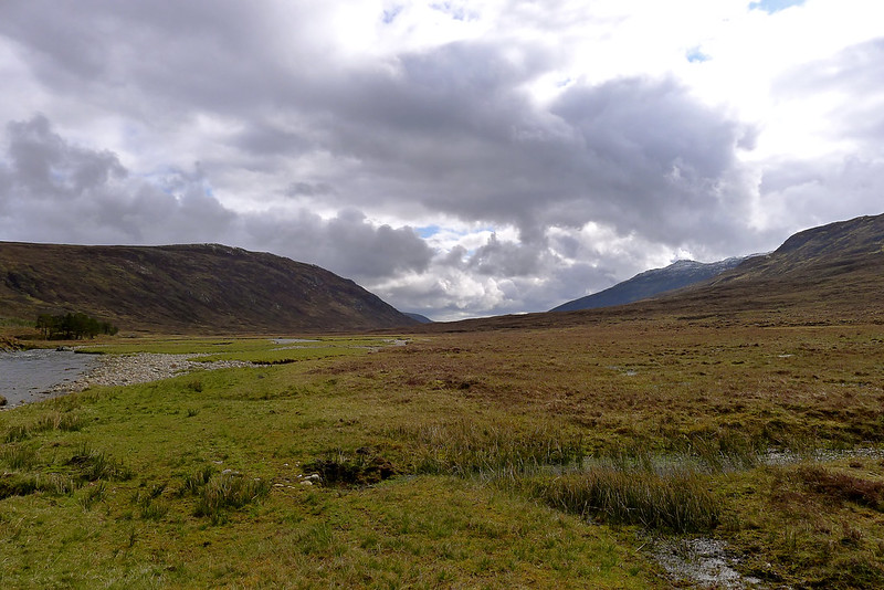
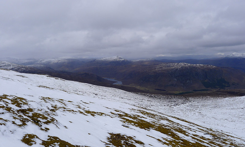
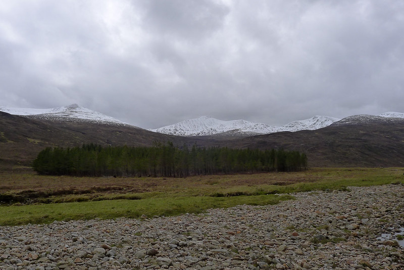
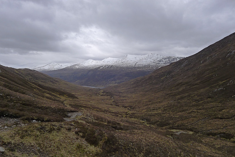
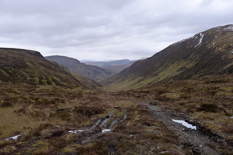
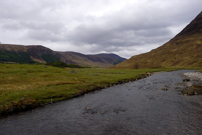
As is often the case it rained all the way from Aberdeen up to the Moray Firth but thankfully I passed by Inverness and Conan Bridge in increasing sunshine. I left the car near Inverchoran farm, deep in Strathconon, and as the afternoon expired I climbed over the low hills to Glen Orrin. After all the recent rain the air was filled with the sound of swollen burns. Side streams tumbled down the hills and over the path, and waterfalls thrashed over escarpments with the sound of distant thunder. I took a roundabout route that followed a faint but boggy track with fine views down to Loch Beannacharain. The descent below the dark slopes of Carn na Cre into Glen Orrin was on a delightful path, even where it was waterlogged. After wading across the deep, cold burn I was soon down in this overlooked glen. The river wound through the wide flat valley floor and on the far side hills rose to snow-capped mountains both to my west and east.
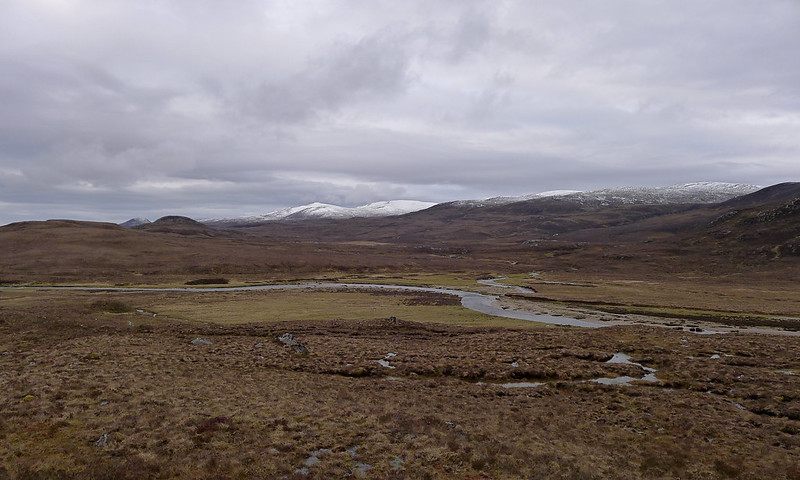
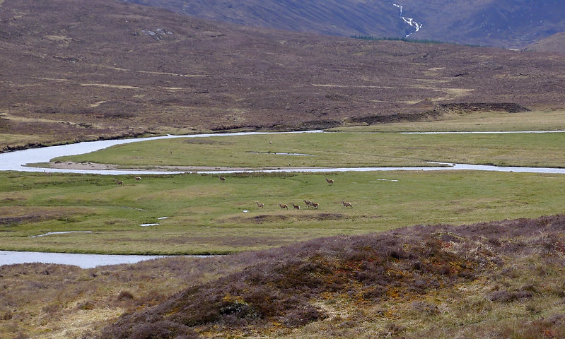
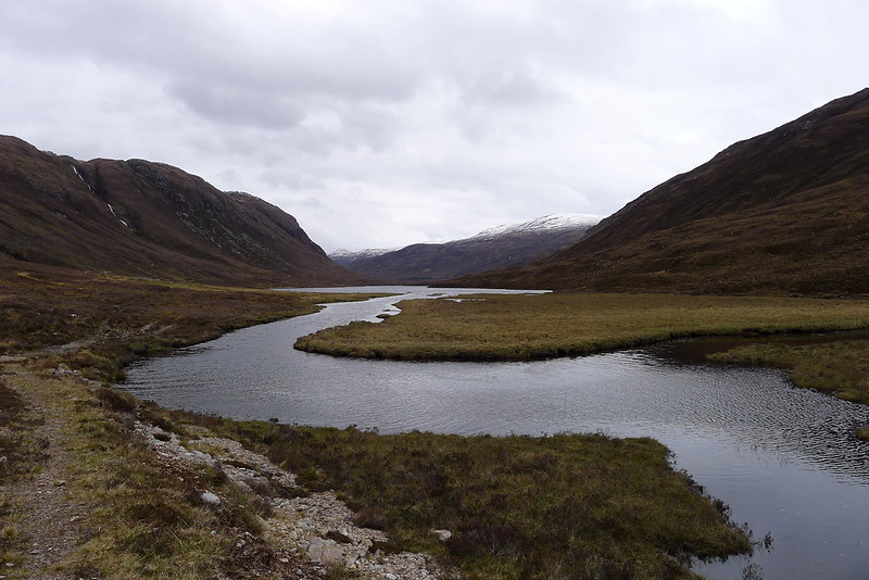
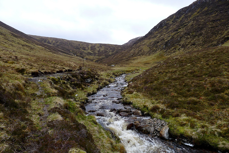
The early evening passed by as I made my way west down the glen. This area was changed forever by the creation of the Orrin Reservoir in the early 60s. I didn’t see any people at all, but herds of deer were down close to the river as it wound its way between grassy flats. The distant crash of waterfalls from the far side of the glen was a constant reminder of the recent rainfall.
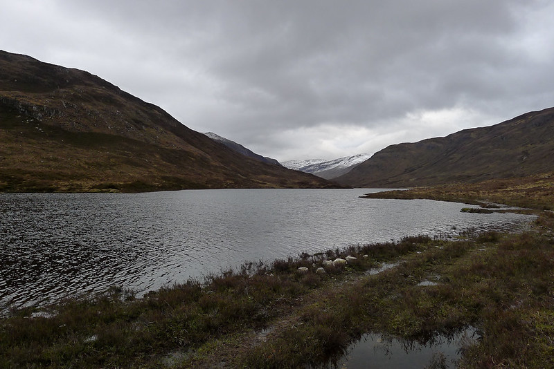
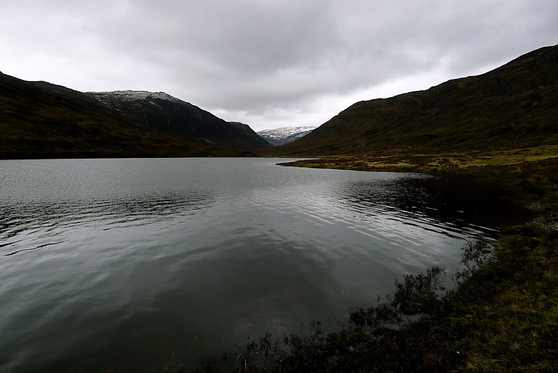
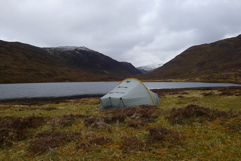
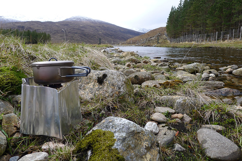
The forestry plantations on the southern side of Creag a' Ghlais briefly pushed me off course but I was soon enough past them, and the bridge crossing, and dropping down to the Am Fiar-loch where I had decided to camp for the night. In retrospect I would have been better off staying near the forestry and the river crossing as much of the ground along the shore of the loch turned out to be waterlogged. Eventually though I did find a suitable spot and quickly had the tent up. The stream water, taken from the bottom of a roaring fall, was tinged yellow with peat but it didn’t seem to detract from the taste of soup and chicken noodles consumed in the dwindling light.
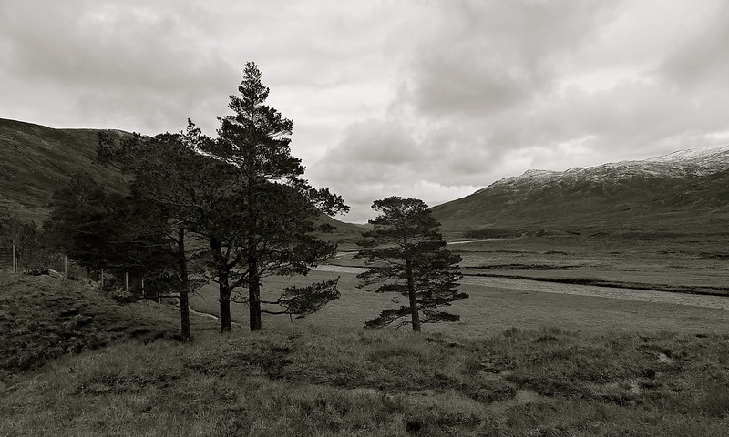
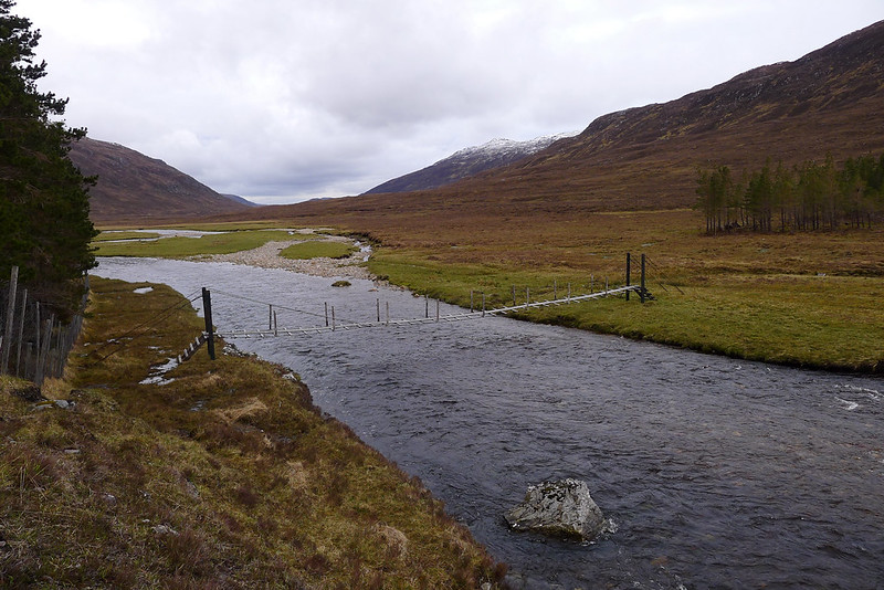
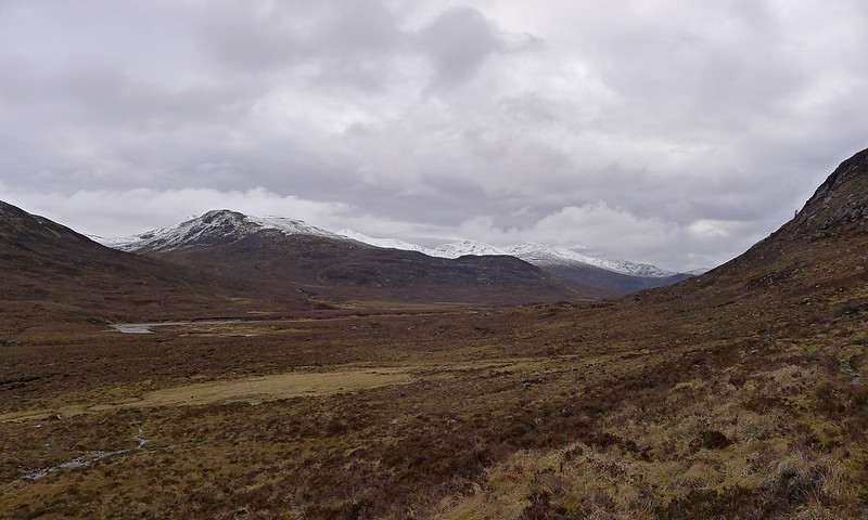
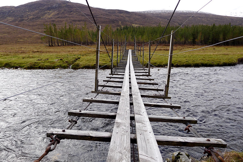
After a night of almost constant rain I awoke to watery sunshine breaking through low, lazily drifting cloud. Once up and breakfasted I retraced my steps of the previous evening to the bridge and crossed over to the south of the River Orrin. In the windbreak of the forestry plantation the morning was warm and muggy and I felt confident about the ridge walk ahead of me.
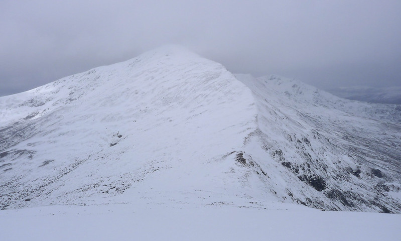
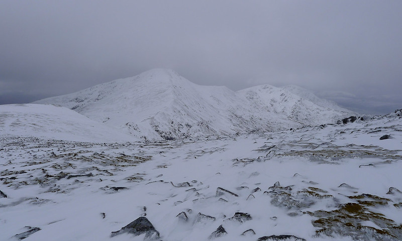
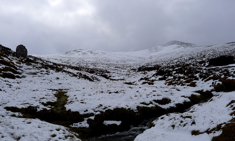
The ascent of Carn nan Gobhar was a long and slow process. The lower slopes were a morass of bog and water where it was hard to tell where the streams stopped and the heather began. Eventually I climbed into slushy snow and then the 800m contour brought firmer conditions underfoot with wind sculpted rime ice and deep drifts. The sun had by now disappeared and the skies were leaden, clouds hanging low over the ridge and obscuring the highest tops. The final slope to the summit of Carn nan Gobhar was steep with treacherous, half-hidden boulders and I was glad to finally be at the cairn.
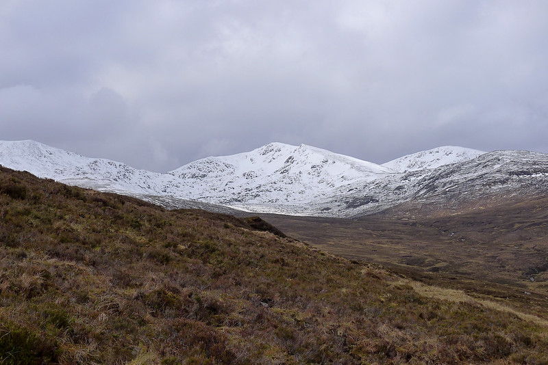
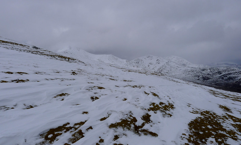
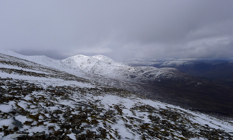
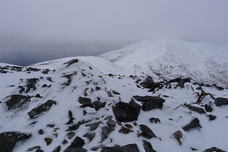
Conditions had deteriorated. A bitterly cold easterly wind was blowing in billowing, chalk grey clouds and snow started to fall as I left the summit. On the ridge the snow was deep and seemed to be compacting, my shoes increasingly failing to make much indentation. As the ridge dropped down to the col below the next Munro of Sgurr a' Choire Ghlais I stopped. With no crampons and lightweight shoes on I felt that the conditions were getting too marginal to risk continuing. I turned around. It was a difficult decision but the wind and snow and increasingly poor visibility meant it was going to be better to leave the high tops for another day.
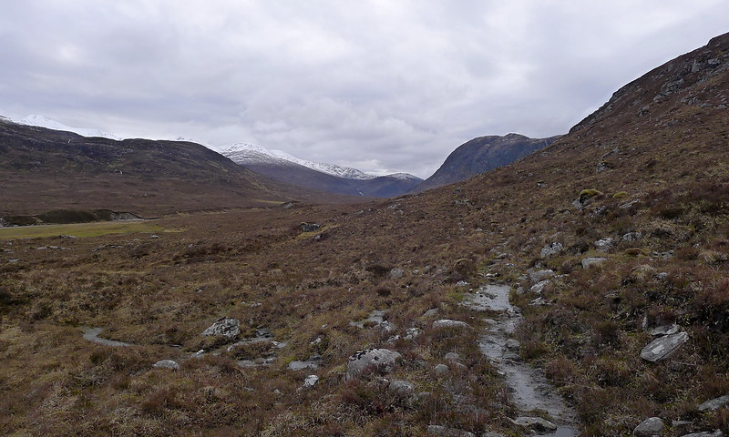
Feeling slightly dejected I retreated from Carn na Gobhar, taking a slightly different line to avoid the steepest slopes of the ascent. There was nothing I could do to avoid the bogs lower down though and it was a relief to eventually reach firmer ground besides the river. On a stone beach I stopped for a break. It was lunchtime and the morning’s efforts definitely deserved a cuppa.
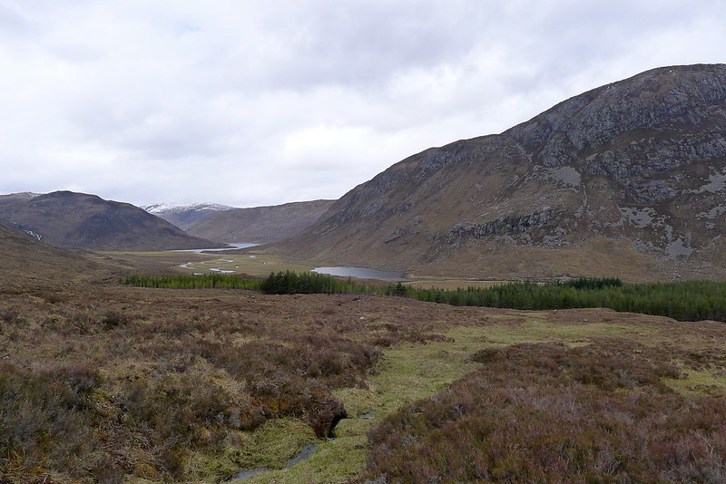
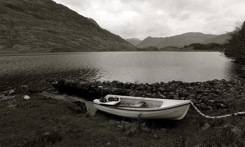
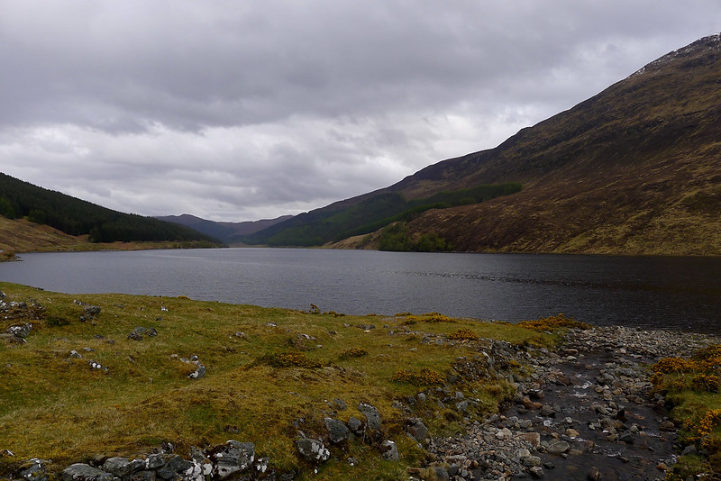
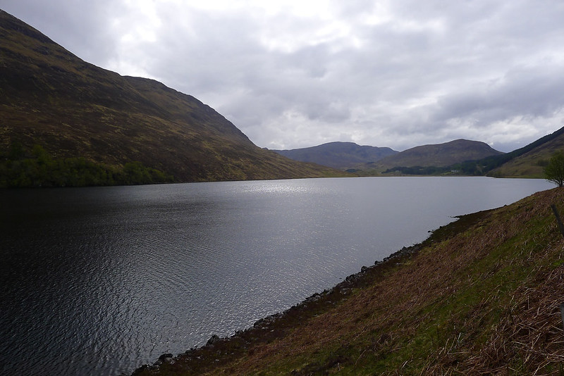
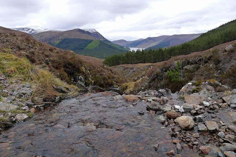
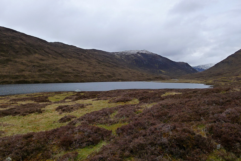
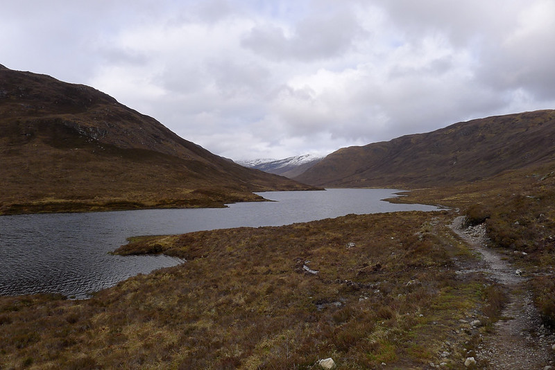
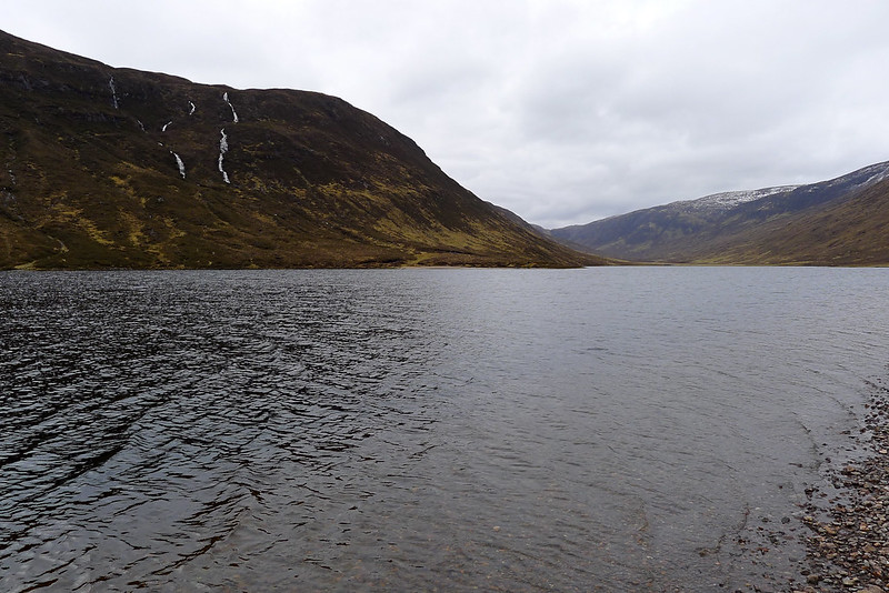
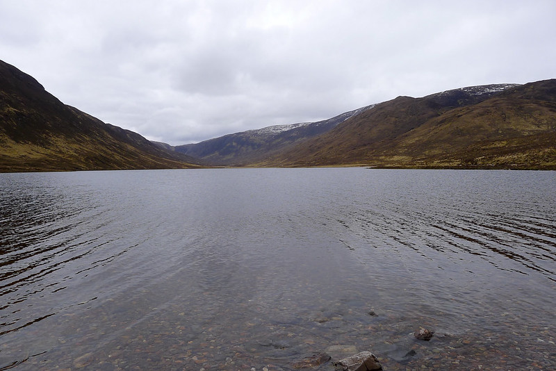
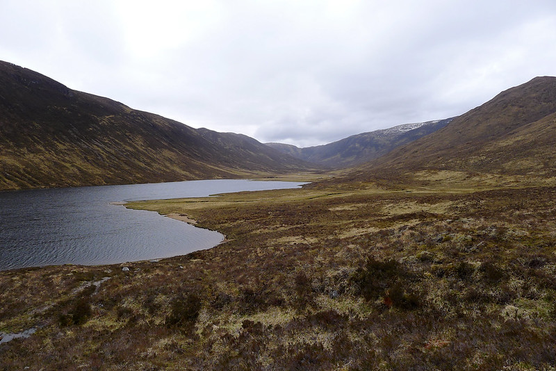
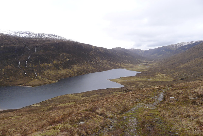
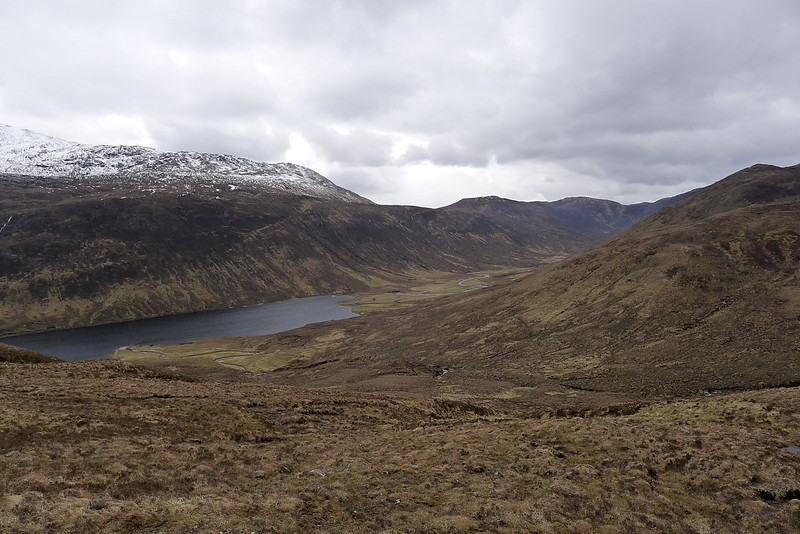
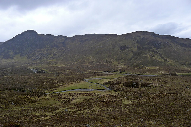
Not wanting to waste all the effort of the previous evening I decided to continue my walk up Glen Orrin. Four and a half hours after leaving it I was back at my campsite besides Am Fiar-loch. Breaking fresh ground I now continued west, crossing another low shoulder of the hills to then drop into the narrow passage containing the eastern end of Loch a’ Choinich. This body of water, much bigger than the Am Fiar-loch, looked dramatic below the grey skies and enclosed by high hills.
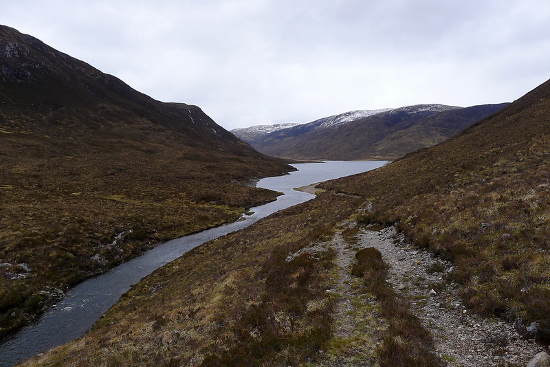
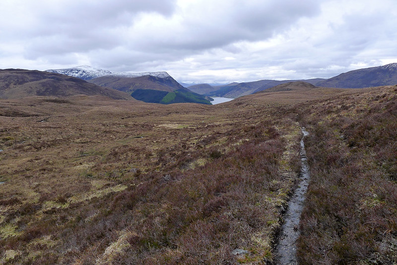
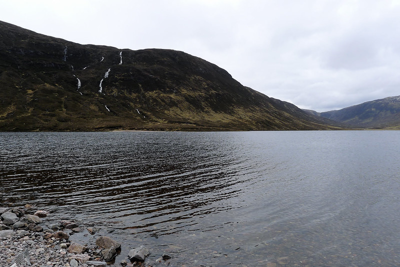
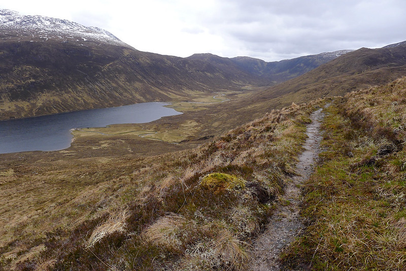
The path took me along the loch’s pebble beach for some way, sometimes turning inland a little to negotiate burns coming down from the hills. I sat beside the still loch for a while, idly flicking pebbles into the dark water and watching deer graze along the far shore. Narrow threads of waterfalls were strung down the opposite hillside.
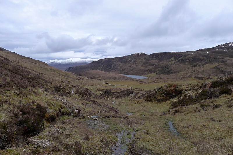
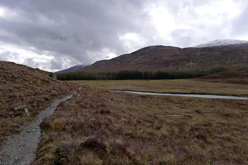
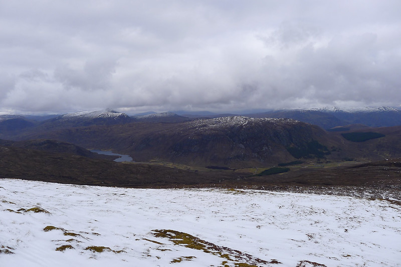
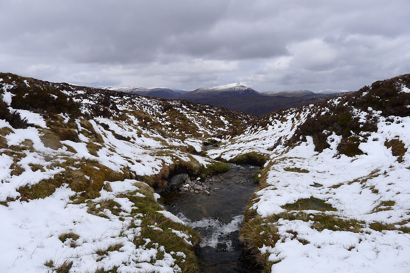
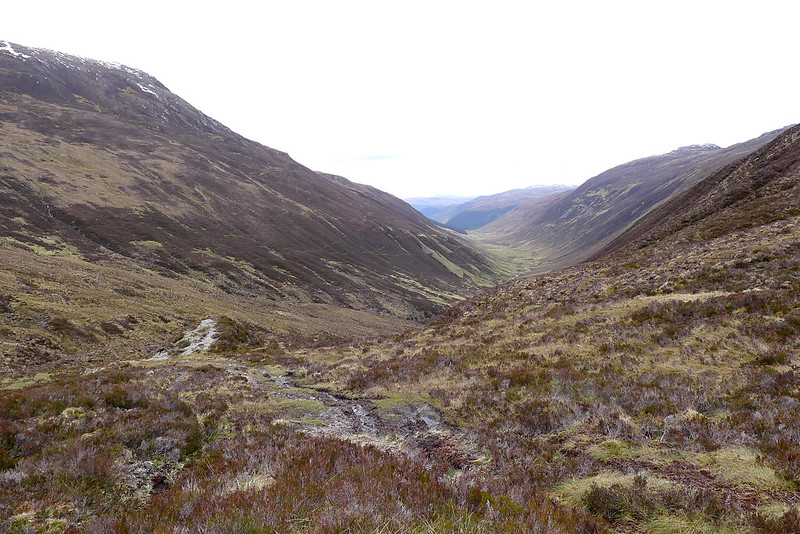
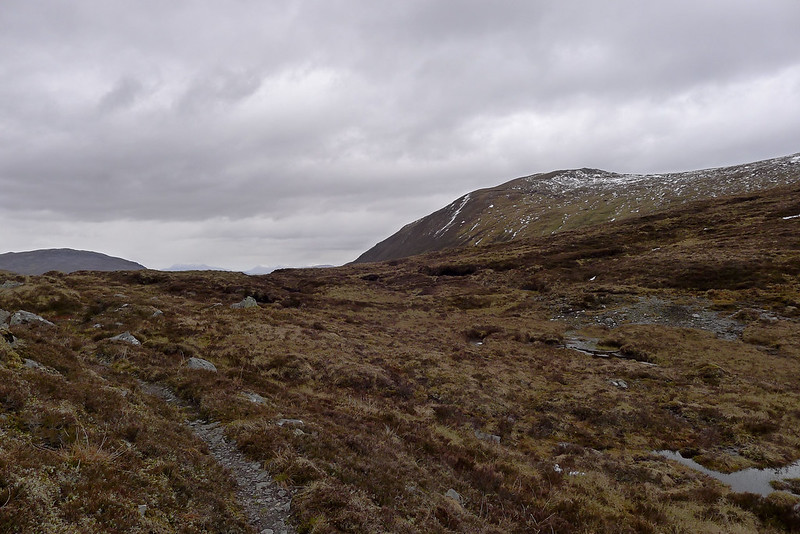
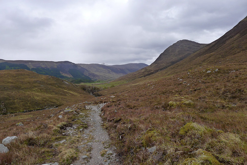
I climbed up above the loch on the vehicle track that comes across from Inverchoran via Gleann Chonich. At the head of the pass a branching path took me back across the hillside and into the glen containing the Allt Lub nan Copag. A pleasant walk along a gently ascending path brought me to the summit of the pass below the Corbett of Bac an Eich. Light showers passed over me but the views back to the Strathfarrar ridge were spectacular. Tiny dark specks on the ridge showed that a few people had come prepared for the conditions.
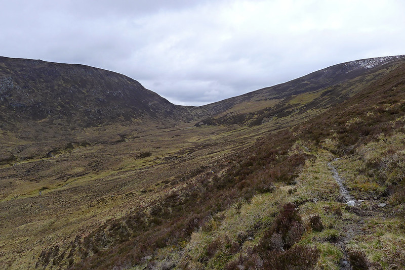
Once over the pass I descended rapidly on a good vehicle track that took me through yet another watery glen towards the River Meig. It was at this point that the sun started to make a welcome re-appearance. Back in Strathconon the path was a good one, winding its way below the lower slopes of Bac an Eich and down toward the bridge near Scardroy.
A clear path is shown on the south bank of Loch Beannacharain but I wasn’t prepared for it to peter out and leave me in a plantation so I took the slightly more gruelling route along the road on the north side. The 6km passed quickly enough with lambs playing in the fields and the hills behind me gradually clearing of cloud but my weary feet were glad at the sight of the car. I’d covered 46km in the 26 hours since I had left it the previous afternoon.