A loop of the hills around Glenlivet including a Graham (Cook’s Cairn) and Corbett (Corryhabbie Hill)
Date: 25th November 2012
Distance: 27.45km
Ascent: 1,077m
Time: 6 hrs 30 mins
Hills: Carn na Bruar, Cook’s Cairn (Graham), Corryhabbie Hill (Corbett)
Weather: Early sunshine giving way to cloudy but dry conditions. Very cold wind.
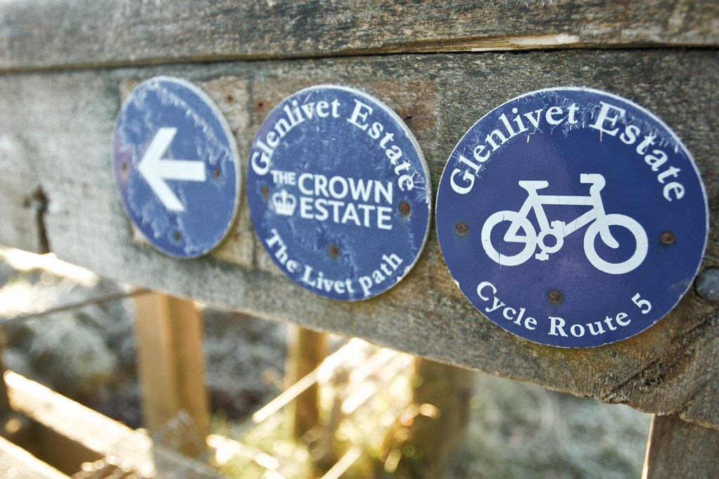
Route: View on OS Maps
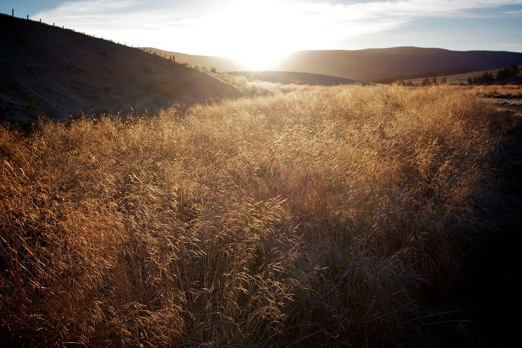
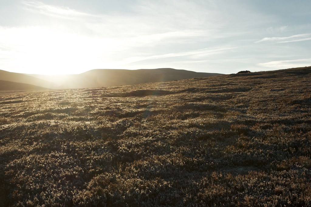
The car was cosily warm after the drive over from Aberdeen and it took until the sun crested the distant hills for me to reluctantly leave behind its easy comforts. The temperature showed a chilly −1oC. The grass crunched underfoot as I pulled on every conceivable item of warm clothing I had brought across with me and started on my way down the Livet Path.
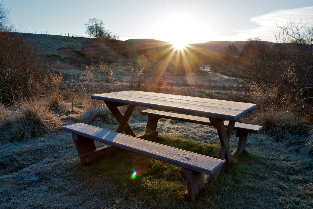
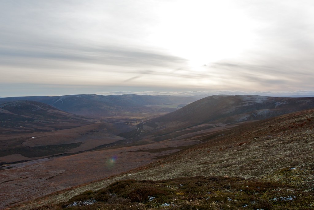
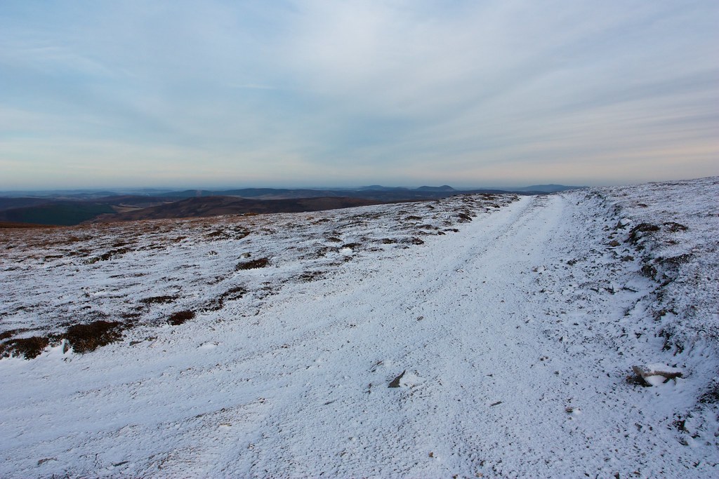
Once moving I warmed up nicely, and the pleasant sunrise provided some stunning illumination of a sparkling world. After overcoming a few navigational challenges I was on the right track, walking along besides the River Livet and enjoying the peace and quiet of this early morning.
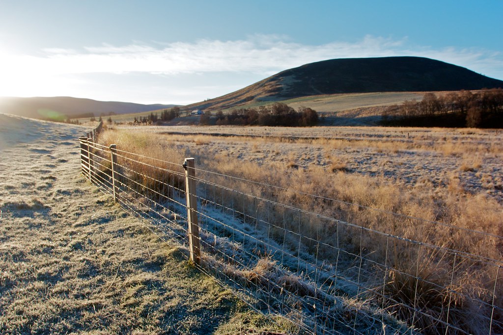
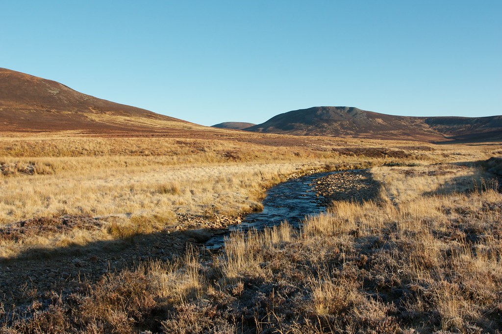
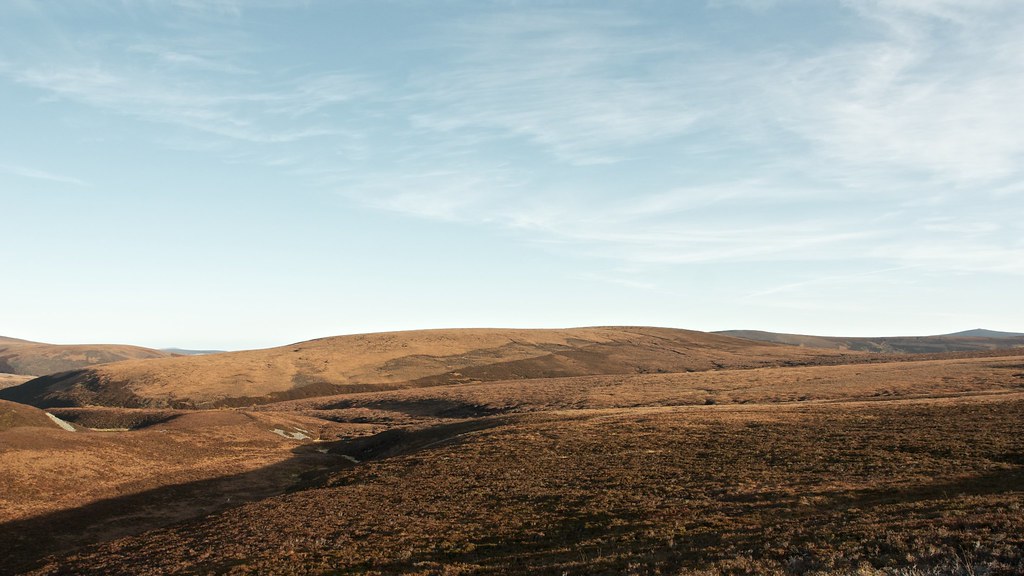
After crossing the Livet the track continued on the west bank of the river, moving away from the farmhouses and into more open countryside. Before I reached the shadow cast by the hills I stopped for a hot drink and some food, gazing out over the Braes of Glenlivet as the sun lit up the frosty heathery and bog.
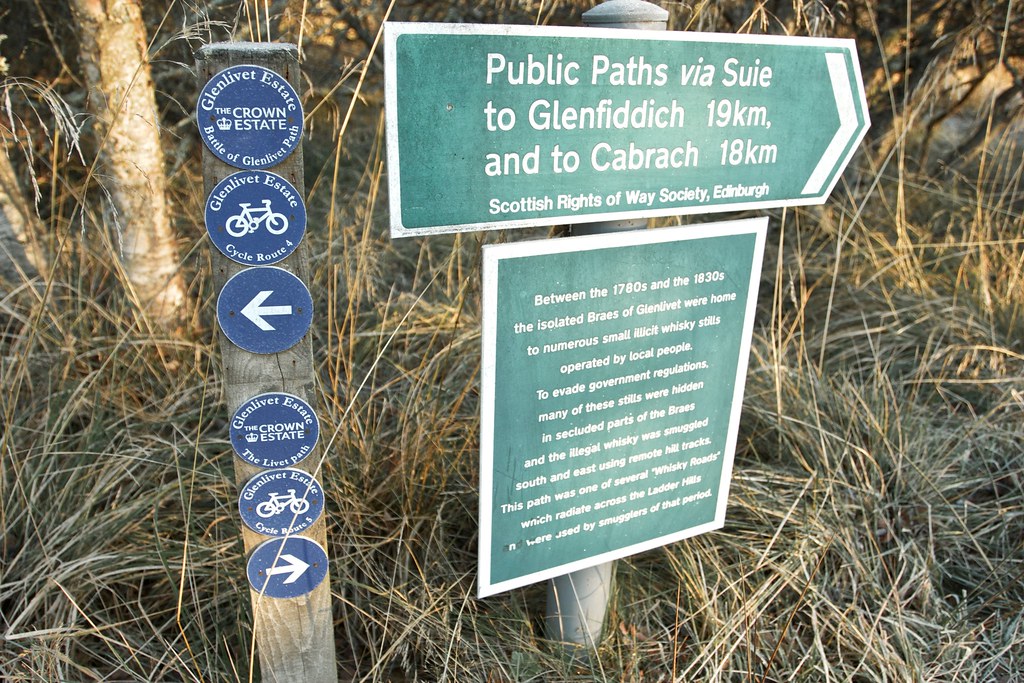
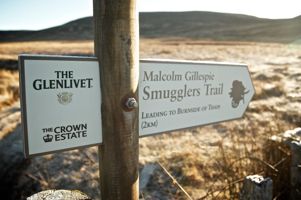
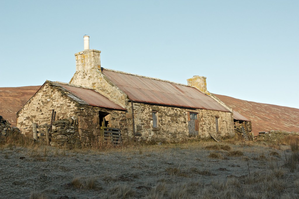
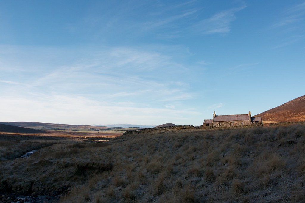
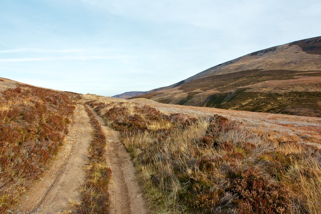
After passing the turn off for the Smugglers Route to Burnside of Thain I turned the corner into the narrower upper reaches of the Glen with the abandoned farmhouse of Suie visible further up the slope. This is now the route of both the Steplar and Glenfiddich Road.
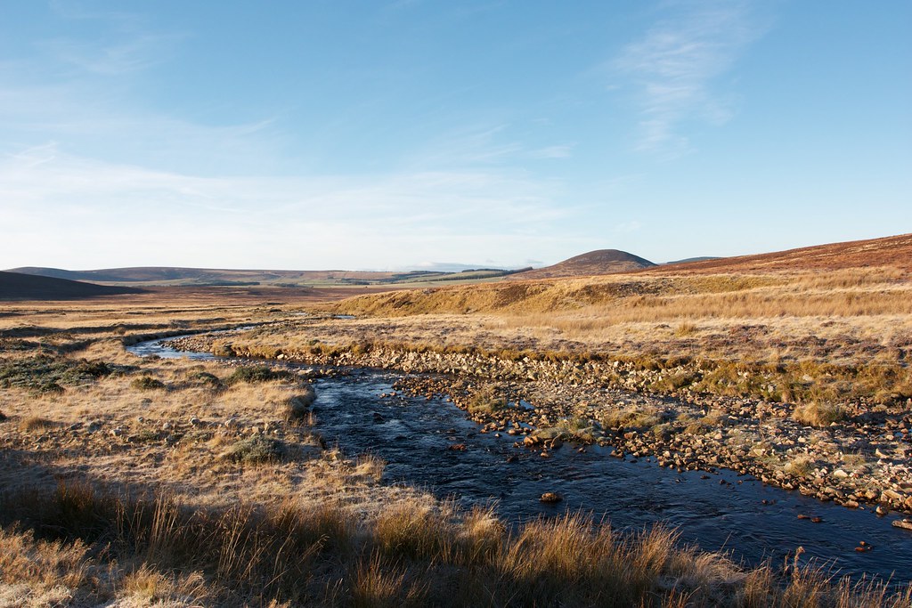
The broad track forded the Kymah Burn at this point but I continued on, following a fainter track to reach the bridge over the stream just at the empty farmhouse of Knochkan.

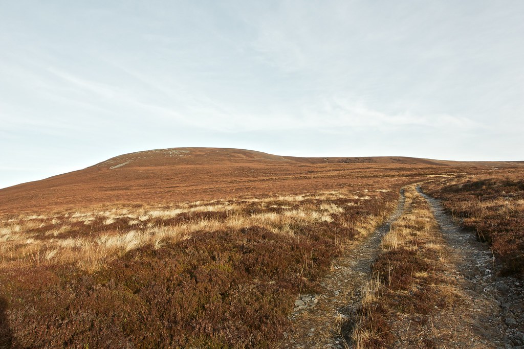
A faint path continued up the Livet, staying close to the River. As I climbed higher into the glen the ground became increasingly boggy and the path was soon lost amongst heather and grasses. A high deer face provided an easy line to follow and eventually I found a gate through it that permitted me access to the slopes beyond Carn an Bruar.

Eventually I climbed up through heather to join a faint track that climbed up to the plateau high above the River Livet. This opened up a view of a vast, rolling countryside stretching out to the hills of Cabrach and Rhynie. My original plan had been to turn here and climb Carn an Bruar but on inspecting the map I couldn’t resist the idea of heading over to a hill called Kneedeep.
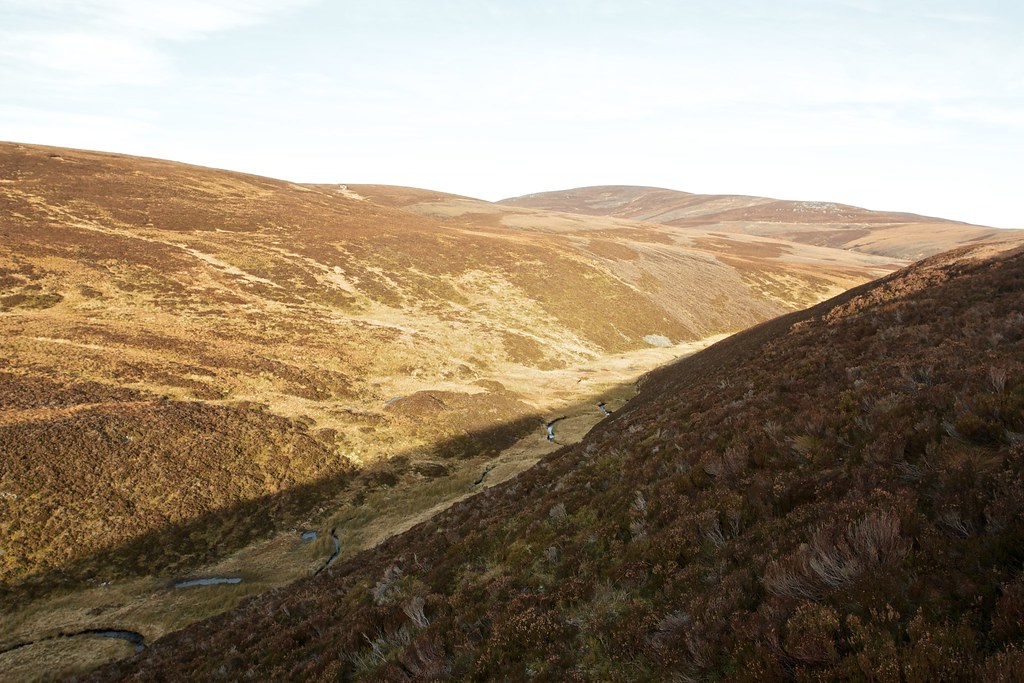
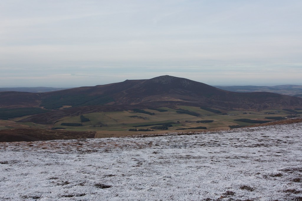
A traverse across boggy ground, thankfully frozen, brought me gently up to this obscure and unmarked summit which enjoyed fine views out over the Blackwater forest and to the Buck of Cabrach.
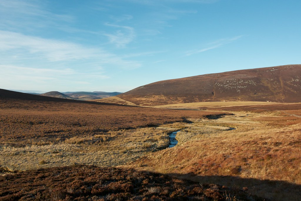
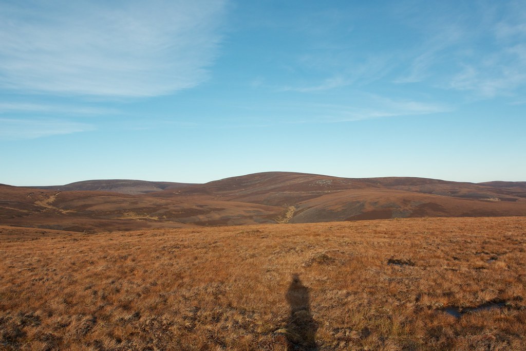
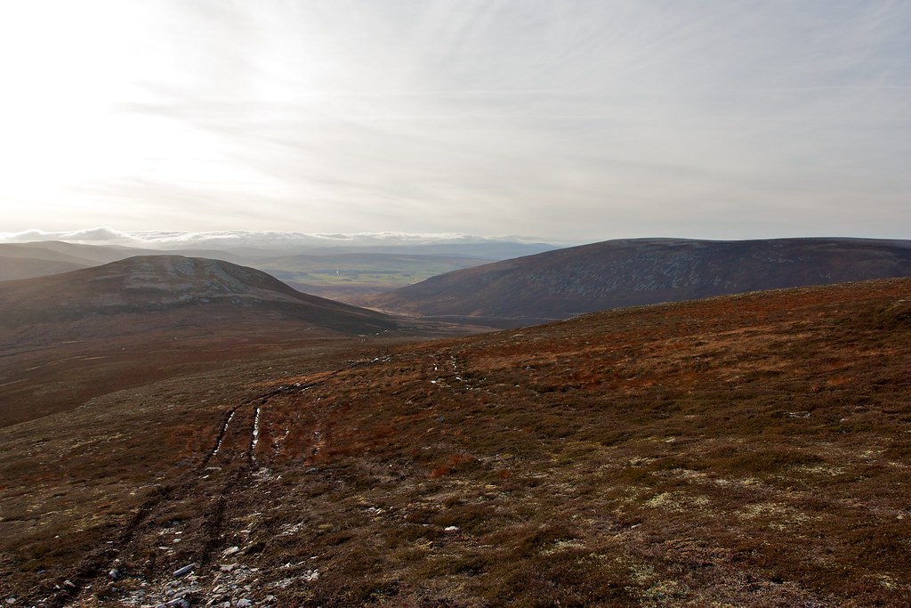
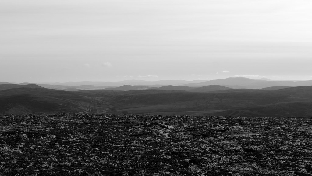
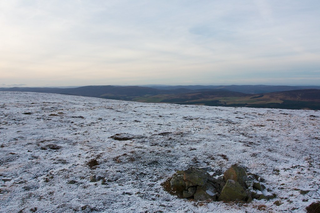
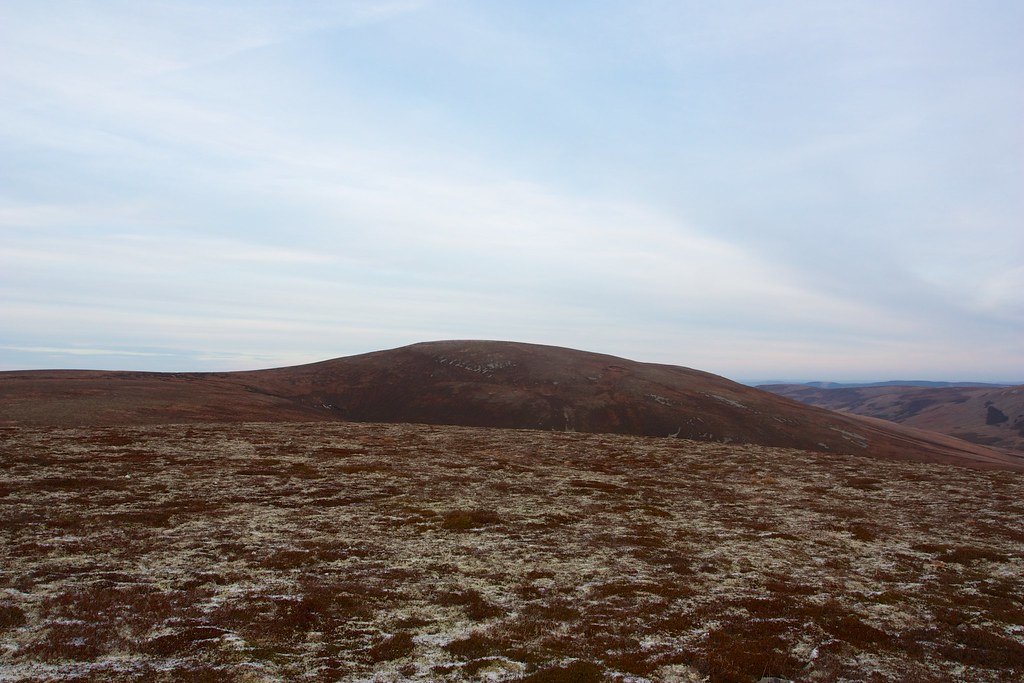
From Kneedeep I now made my way through rough heather north to cross the deep trench carved by the Allt na Craoibhe-cuilinn as it flowed down to join the Blackwater. Once on the other side it was then an easy pull up to the summit of Carn na Bruar through peat hags and frozen bogs as the views out over the Braes of Glenlivet and the cloudy Cairngorms opened up.
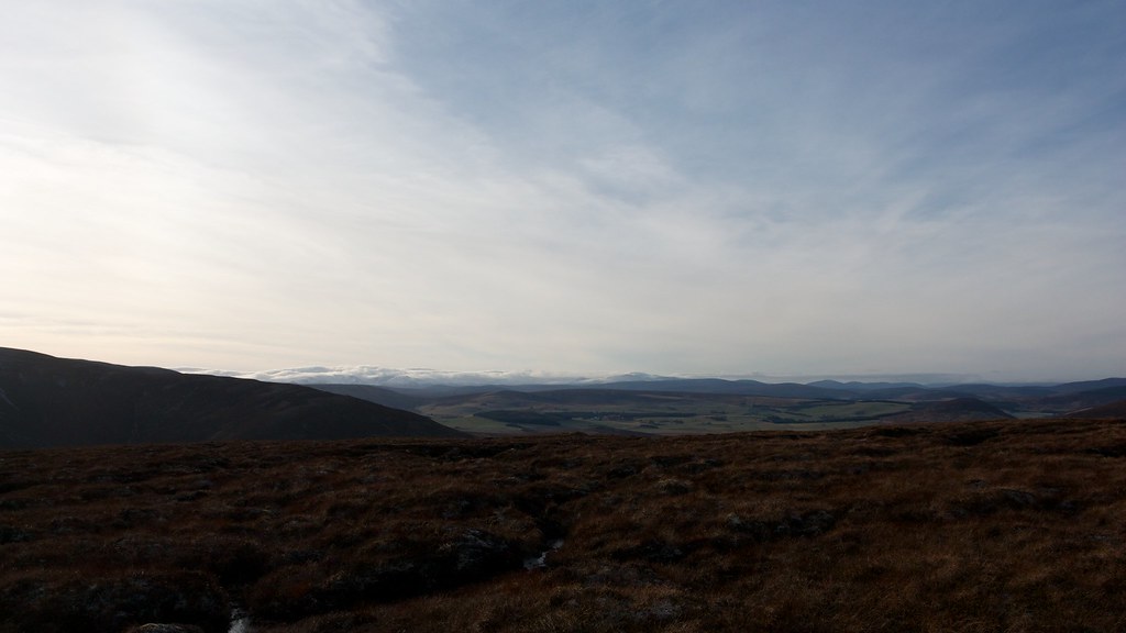

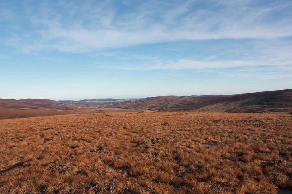
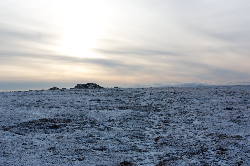
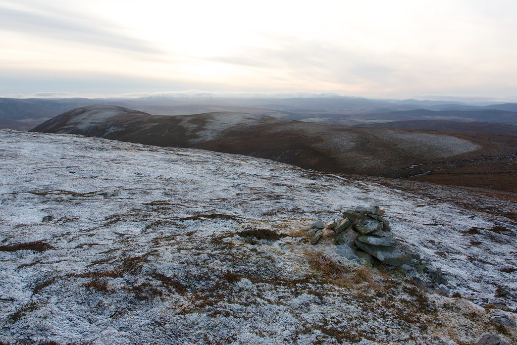
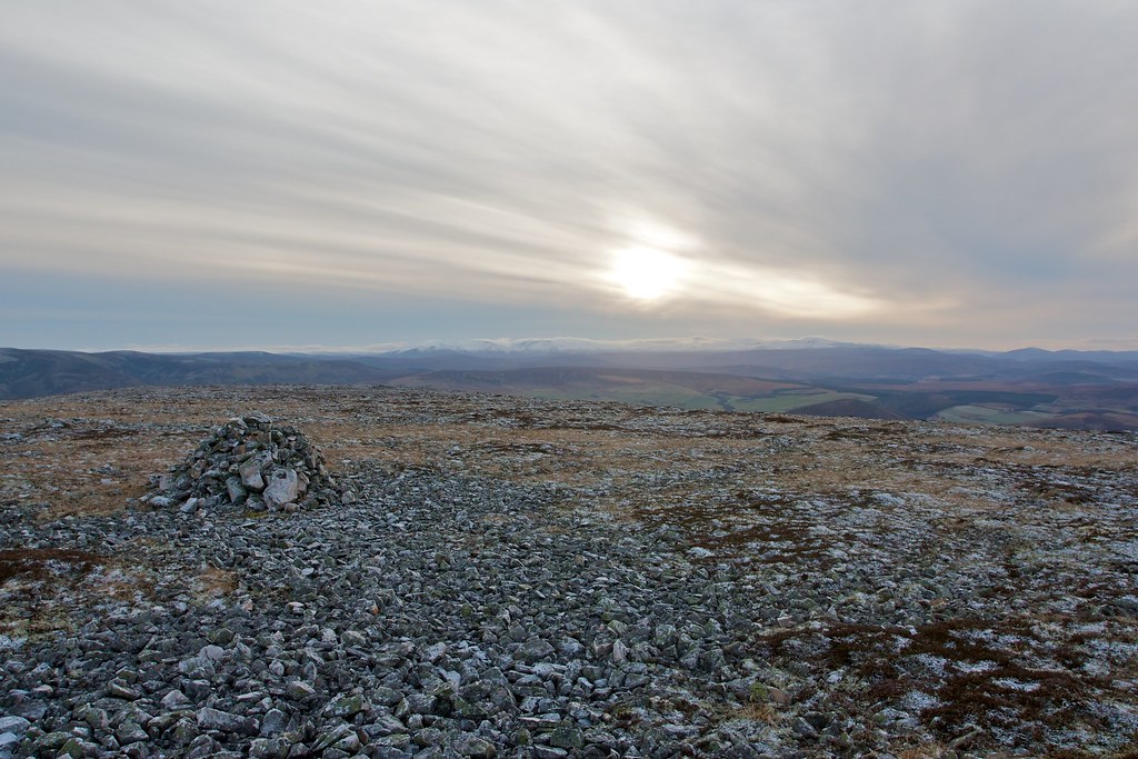
From the vantage point overlooking Glenlivet and Glen Suie I headed along the plateau to another set of cairns which gave excellent views to the day’s next hill, Cook’s Cairn. This was easily reached by a high bealach where I joined a vehicle track coming up from Glen Suie (the Steplar).
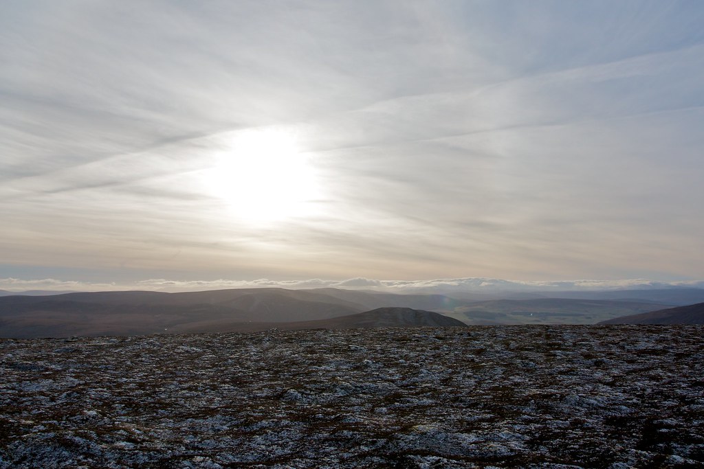
Leaving the main track heading over to the Blackwater a fainter track took me up to the summit of Cook’s Cairn with the views back out over the Cairngorms opening up.
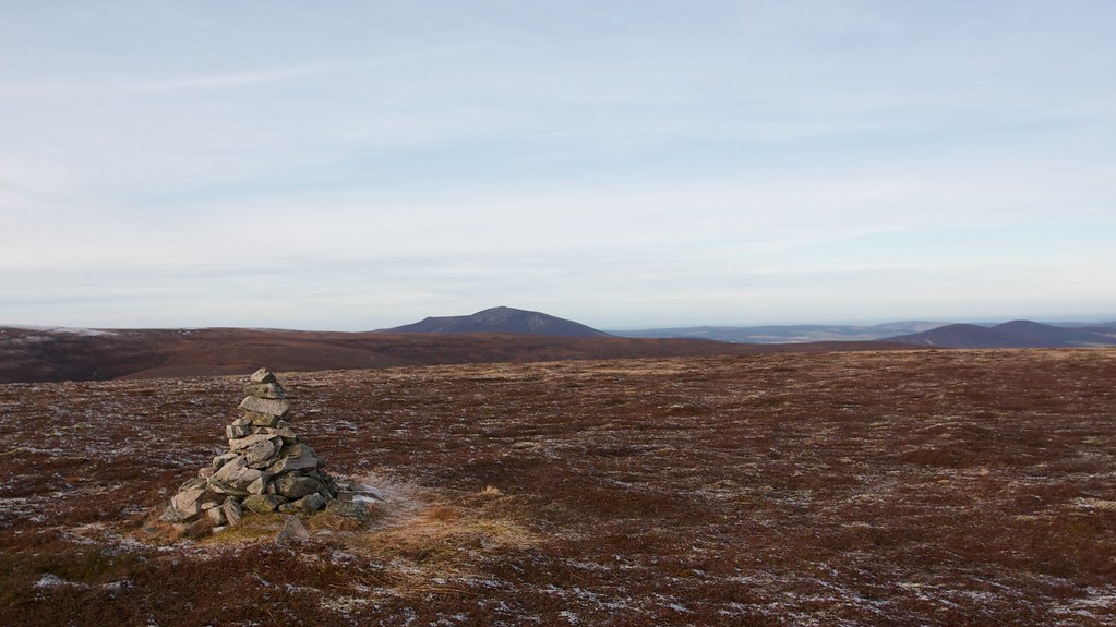
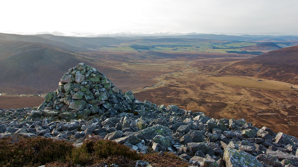
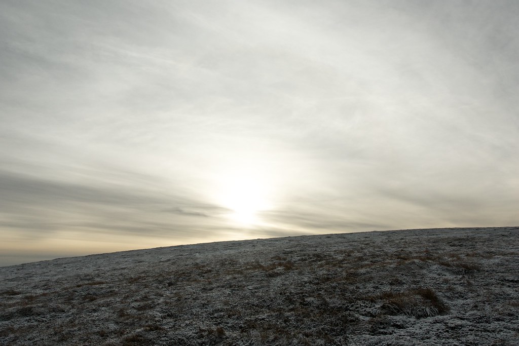
Despite giving its name to the hill the cairn was not that substantial and there was a cold wind blowing at this point. Thankfully the sun was just about shining through increasingly thick high cloud and so a chilly lunch was consumed looking out across these big rolling hills.
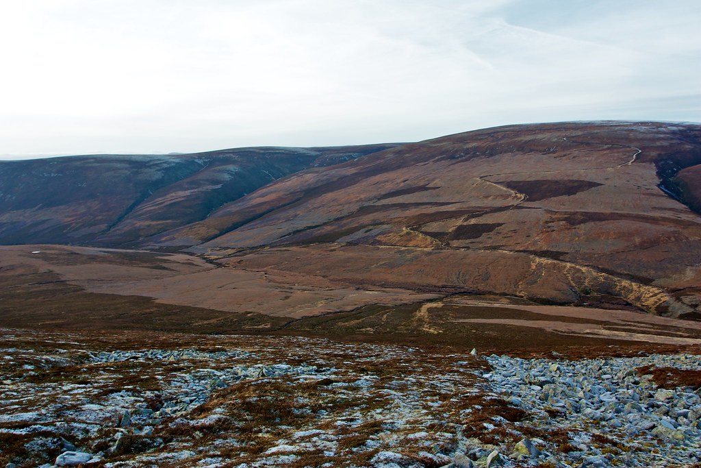
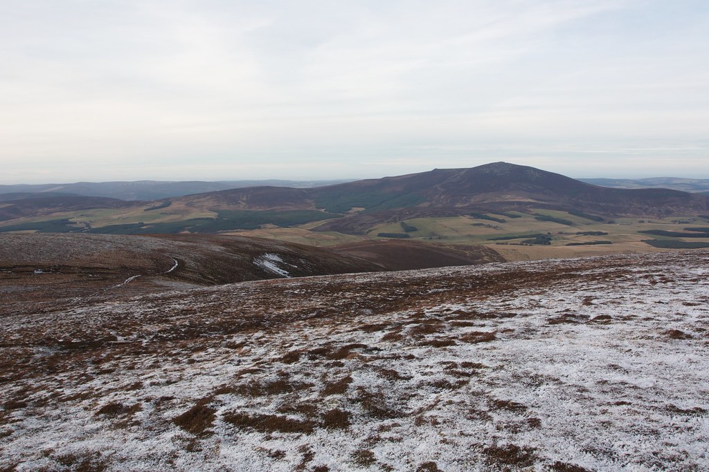
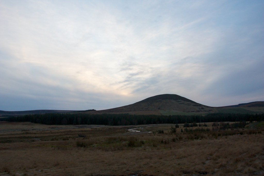
My next target was Corryhabbie Hill, perched across the far side of upper Gle Suie. Steep heathery slopes on the north side of Cook’s Cairn were carefully descended and then there was a boggy section to cross before regaining the landrover track (the Glenfiddich Road). A branch took me immediately up the hillside, a series of switchbacks gaining me height with relative ease as the views back down Glen Suie developed.
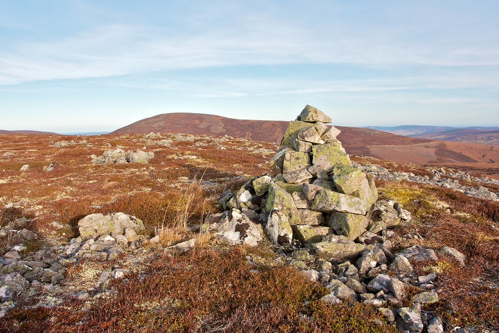
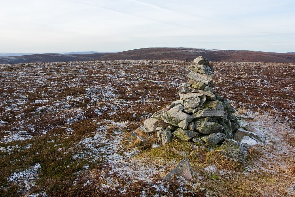
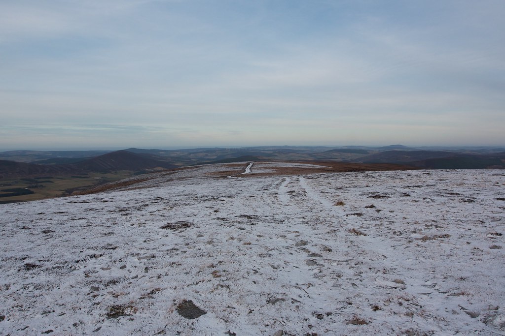
As I approached the plateau the world turned increasingly snowy with a thin, frosty layer covering track and surrounding heather. Beinn Rinnes came into view to the north east. Eventually I reached the junction with Morton’s Way which heads north towards Glenfiddich. I turned south, and soon reached the large structure marking the top of Corryhabbie Hill. Inside a large stone cairn was a trig point, with, a metal hat on!
Again there was a chill wind blowing and with the sun sinking towards the horizon it was much colder than my spot at lunch. I had just a short break to have another hot drink and some chocolate before continuing on.
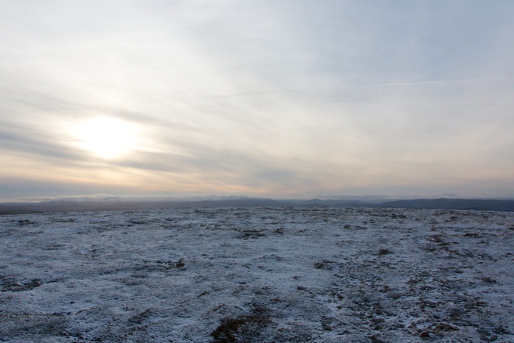
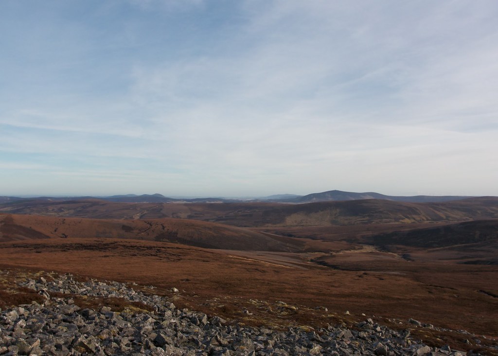
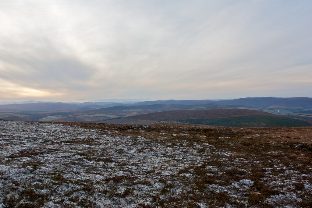
By this time the cloud swathed over the Cairngorms was breaking up and I could start to see the individual peaks emerging, clad in their Alpine raiment. Ahead of me snaked the Carn an t-Suidhe ridge which would lead me back to Glenlivet.
After an initial boggy section I soon reached close cropped heather and this allowed for easy progress along the ridge. Eventually I reached the final cairn and stopped for a few minutes to admire the sweeping views out over the Cairngorms. It is a magnificent viewpoint.
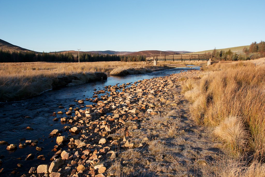
Then it was a case of picking my way downhill, aiming all the time for the bridge that I had crossed earlier in the day. The going was good and as I got closer to the river I picked up a faint trail which led me directly back to the track.
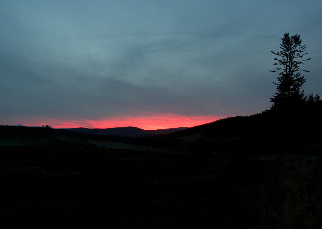
As the high cloud thickened and lowered the day came to an end in a gloomy, grey sort of way. It was still cold though and I was glad to quickly cover the last mile and get back to the car. There didn’t seem much prospect of a sunset so I was soon on the road and heading home. Of course, in my rear view mirror the most amazing sunset appeared a few minutes later, the very lowest clouds burning a bright red. I stopped the car to get a final shot before darkness descended.