_In May 2013 I backpacked across Scotland. This is part two of the trip report which covers the days from Fort Augustus to Aviemore through the Monadhliath Mountains.__
This is Part 2 of my TGO Challenge 2013 which picks up the story on Day 6 after an overnight stay and re-supply in Fort Augustus. If you missed it you can catch up on Part 1, covering Days 1 to 5 of my 2013 TGO Challenge, at this link.
Route
As a reminder here is my route as recorded by my Spot Messenger over the course of the Crossing. You can zoom in and scroll around to explore my actual track (in orange) and my planned route (in green).
Day 6, Thursday 16th May
Route: Fort Augustus to Wild Camp below Geal Charn
Distance: 30km (Total 135km)
Hills: Meall na h-Aisre (Corbett), Geal Charn (Munro)
Arriving in Fort Augustus the previous afternoon, I’d been keen to move on, and probably wouldn’t have minded just continuing on with the wild camping, especially in the face of so many coach parties. However, the comfortable sleep, hot shower and delicious cooked breakfast at Three Bridges really changed that. Feeling more than adequately fed, and both clean and rested, it was in high spirits that I set off from Fort Augustus into the morning sunshine.
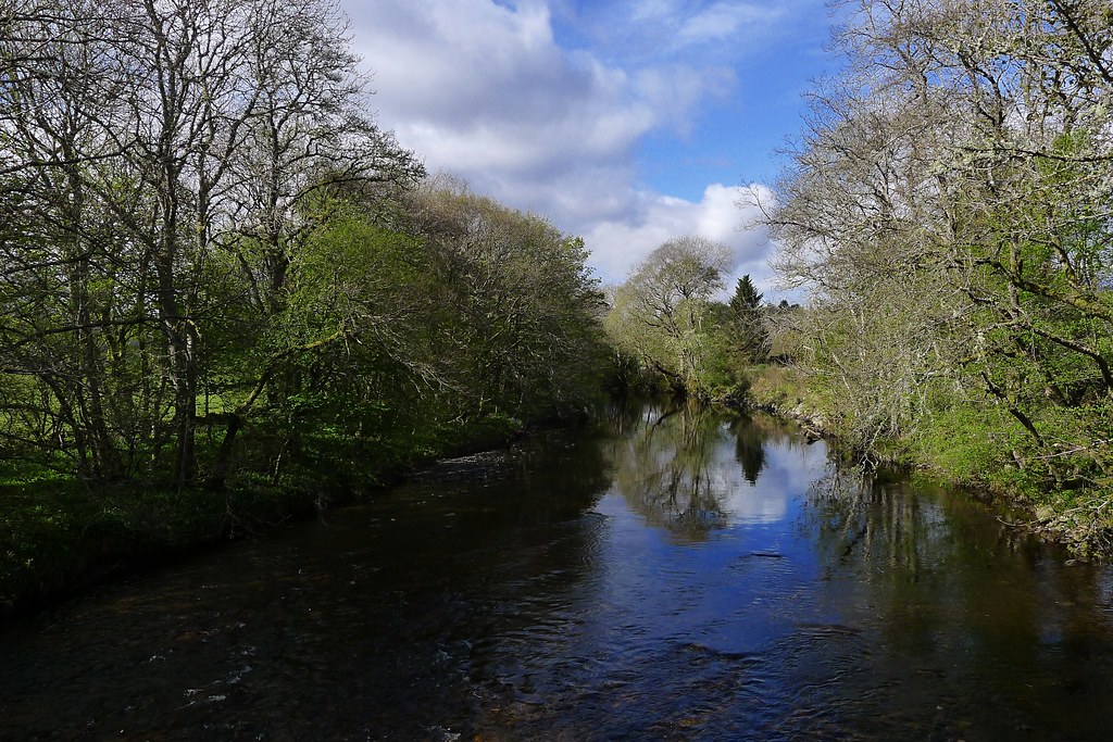
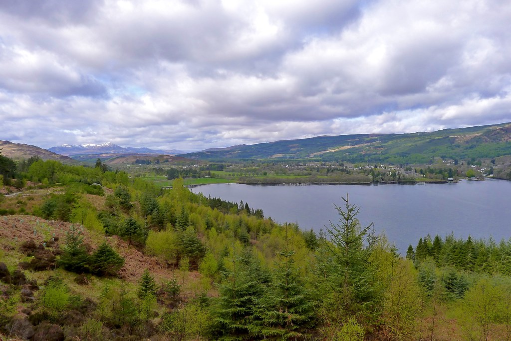
I passed a couple of Great Glen Way walkers heading through the village and as the crowds turned south on their way to Invergarry, I headed east along a quiet B road running along the south shore of Loch Ness. The trees and fields were a lush green and white clouds hung over the water.

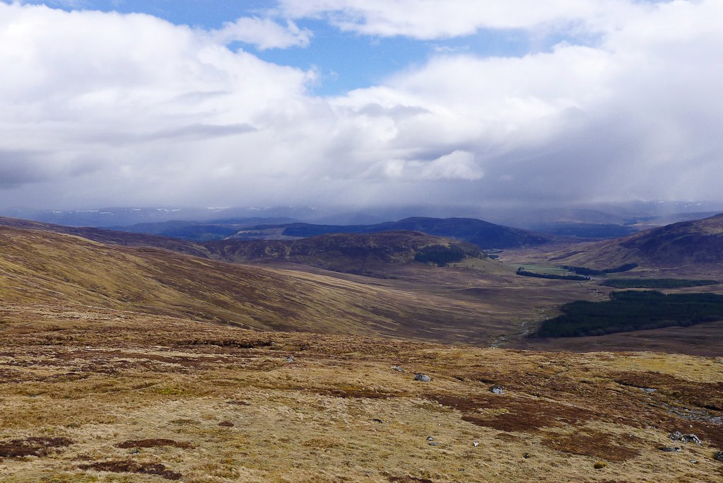
The road climbed the hill and at the entrance to Glendoe Lodge I took up the forest track which I thought would allow me to miss out some small sections of road walking. It indeed did this but not in the way I expected and after some time I realised I was on a different track to my planned route! It did offer some grand views back across the loch to Fort Augustus and further down the Great Glen to the Loch Lochy hills.
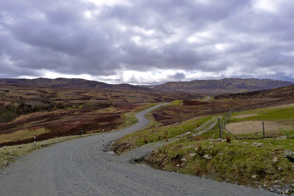
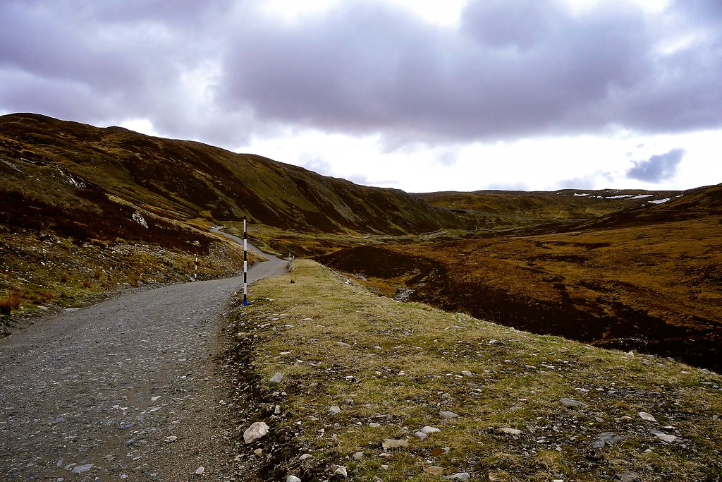
I continued up through the gloomy pines looking at the map and pondering my options. Luckily as the slopes to my right eased I was able to pick a way through the thinning woods and found myself on the tarmac driveway leading away from Glendoe Lodge having cut off a corner of the incorrect track. Soon I was back on the road and then turning off it again to pick up the construction road which leads up to the Glendoe Reservoir. Now I was back on course.
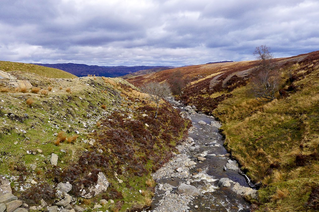
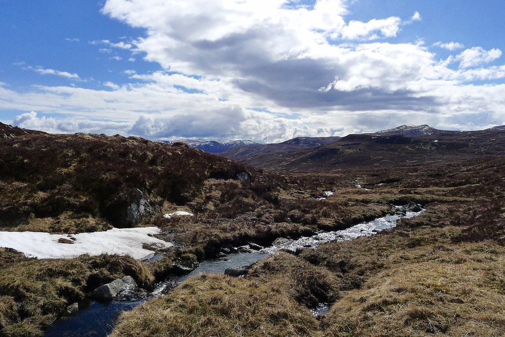
A light grey cloud had by now filled up the sky and it, coupled with the relentless grey of the road, made for a sombre walk up into Coire Doe, following the tamed course of the Allt Doe. Occasional rises would give views down the Great Glen towards Loch Lochy but it wasn’t really until I gained the height that both the weather and views improved.
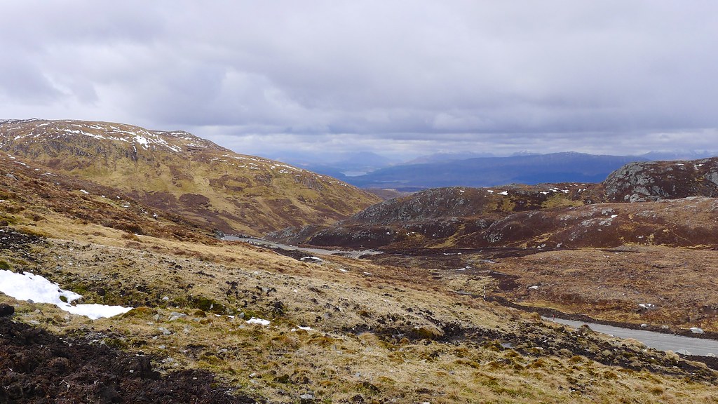
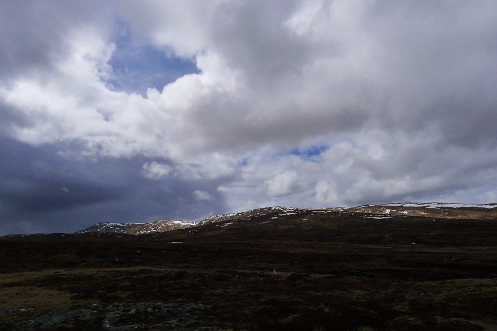
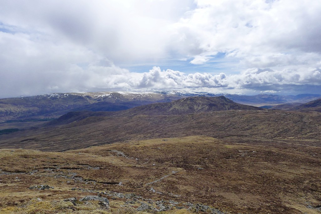
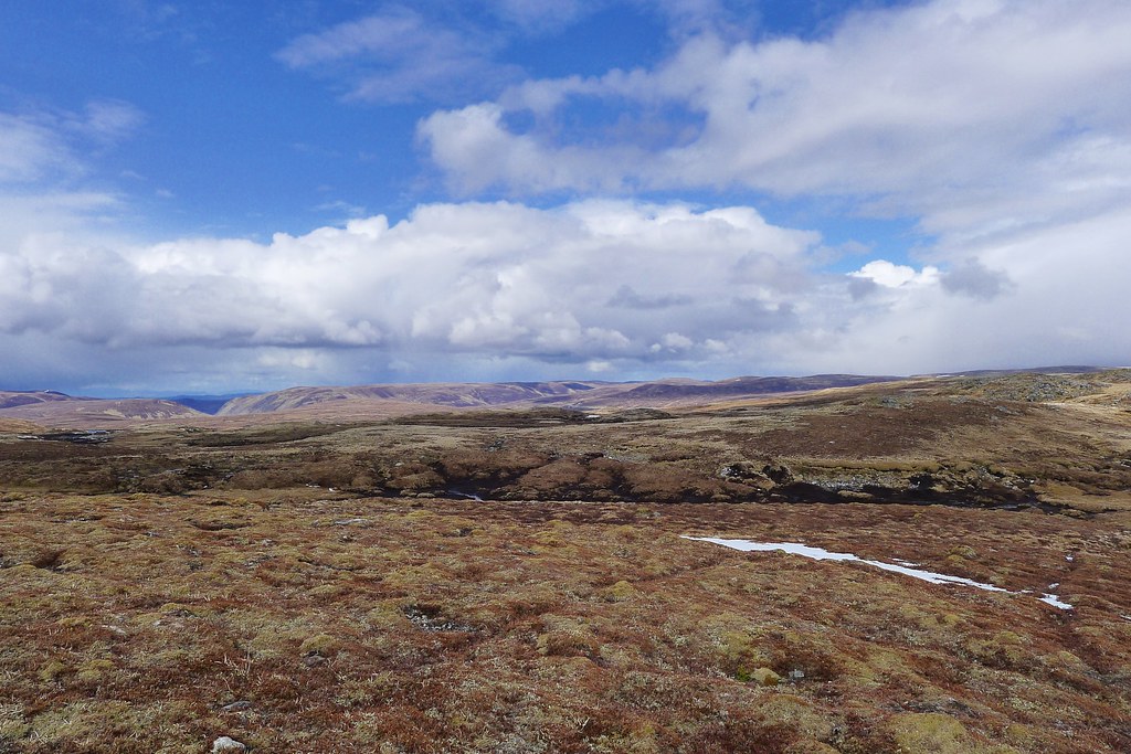
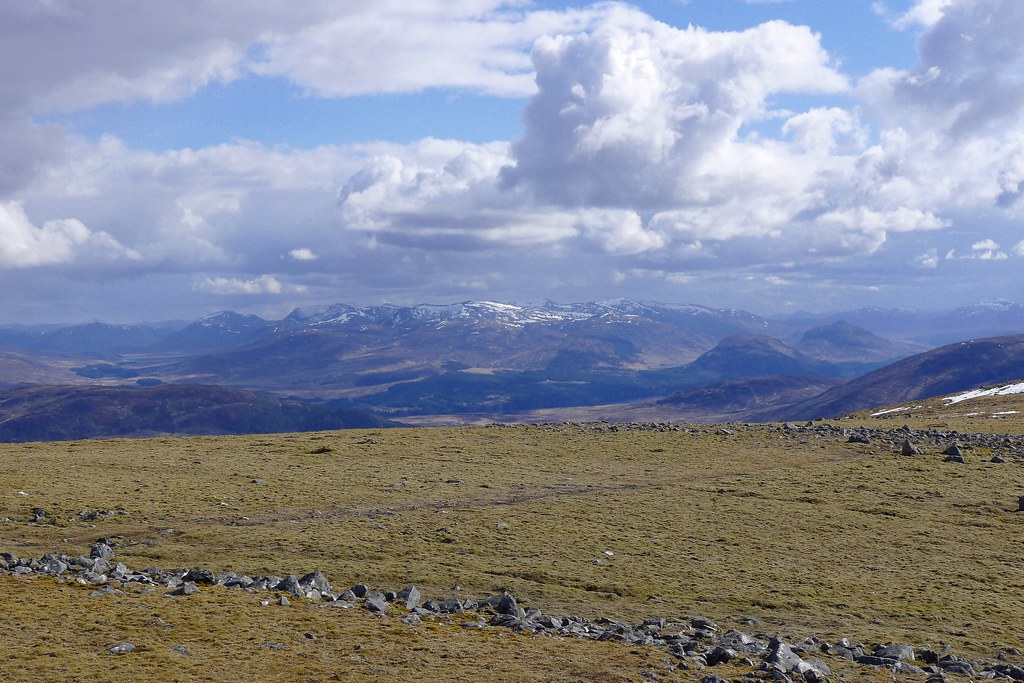
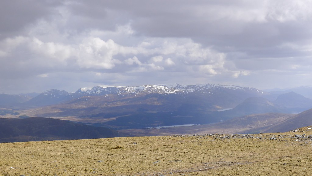
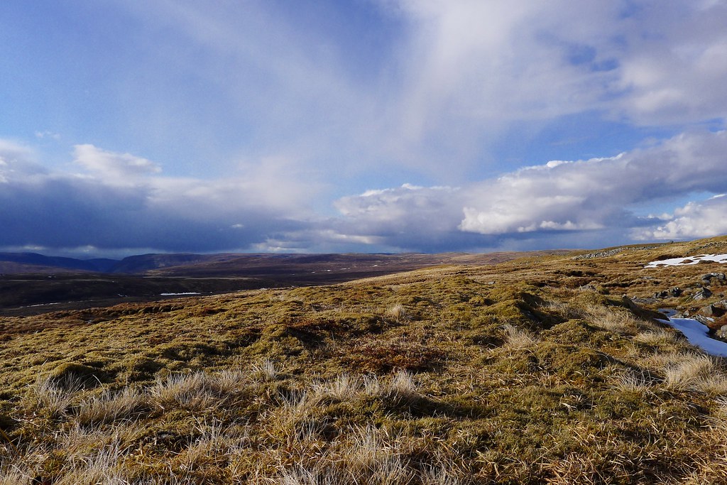
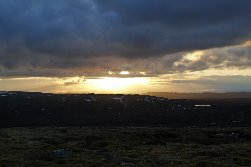
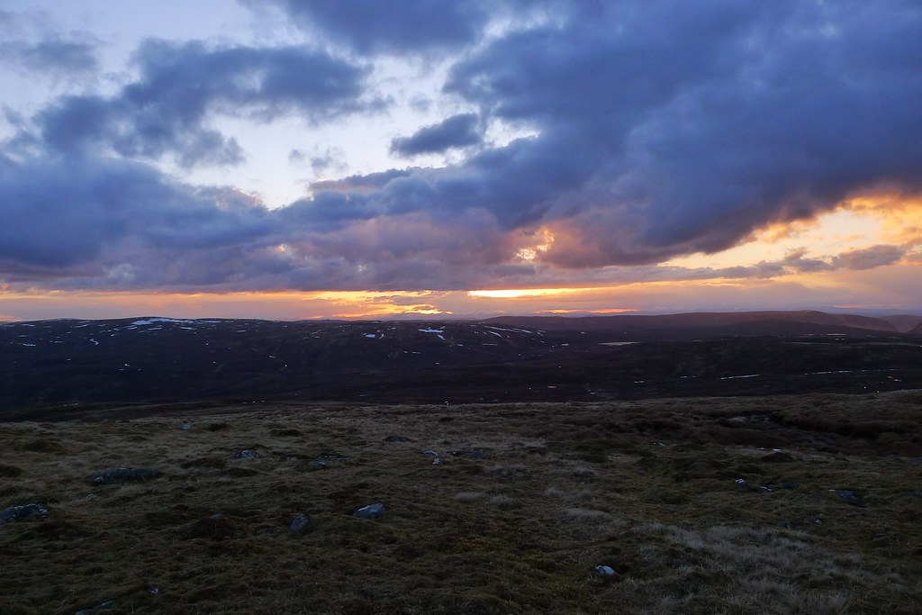
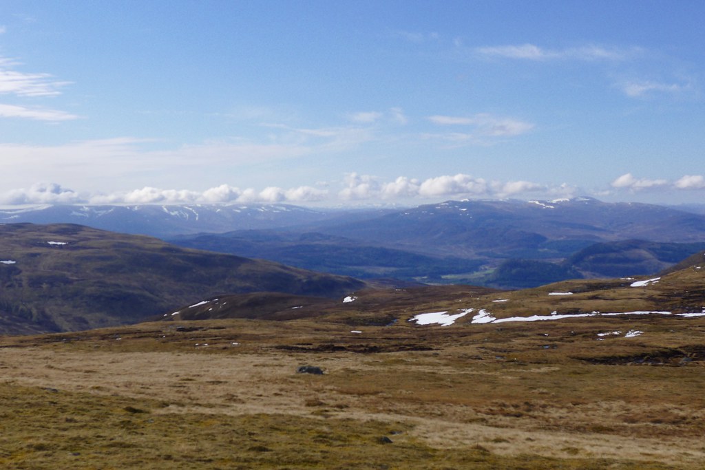
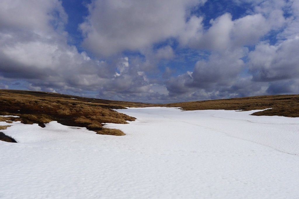
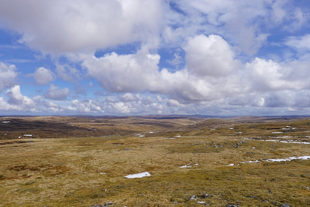
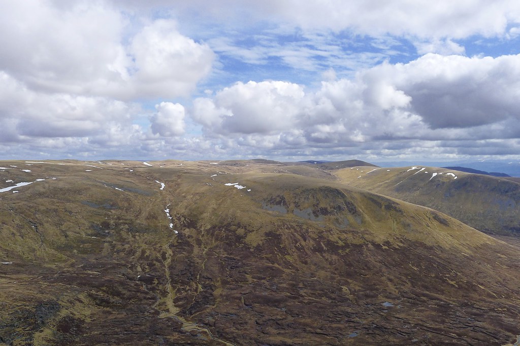
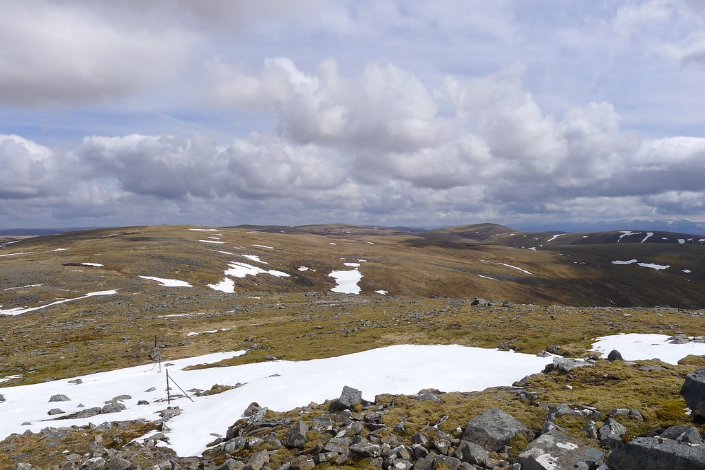
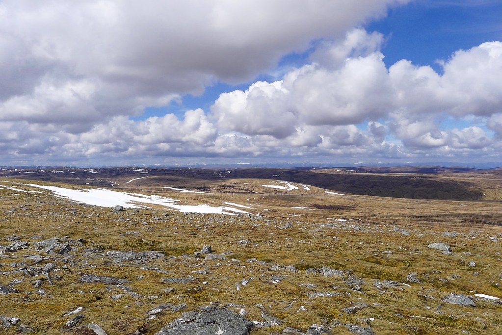
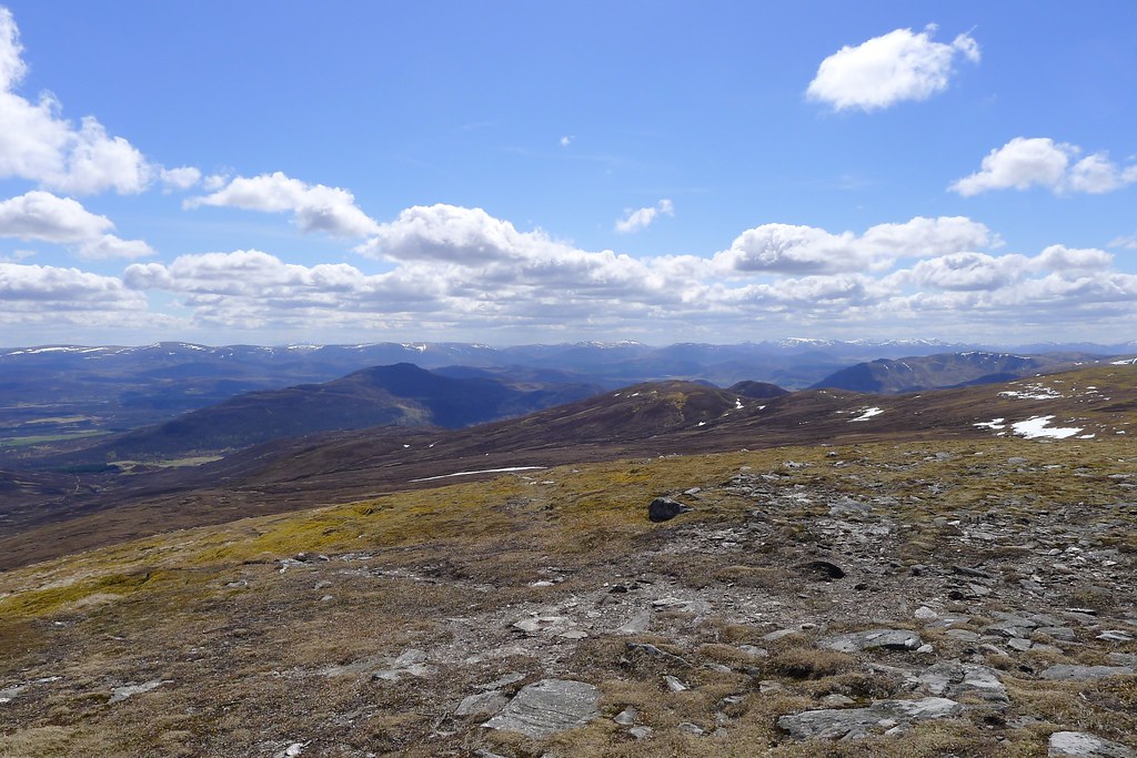
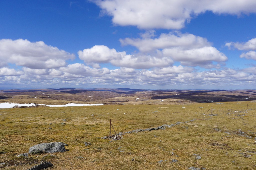
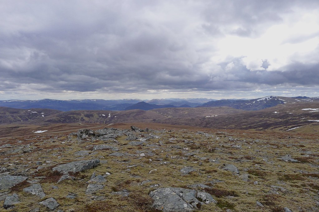
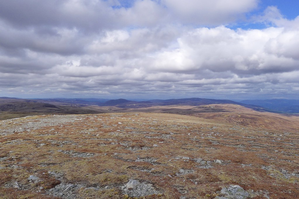
Near the high point of the road the sun finally emerged and I stepped away from the craggy moor land dropping down to Loch Ness and across into a different world altogether. Stretched out before me north and east lay the wild hills of the Monadh Liath, the grey mountains, which sit across Strath Spey from their better known cousins, the Monadh Ruadh, or the red mountains of the Cairngorms.
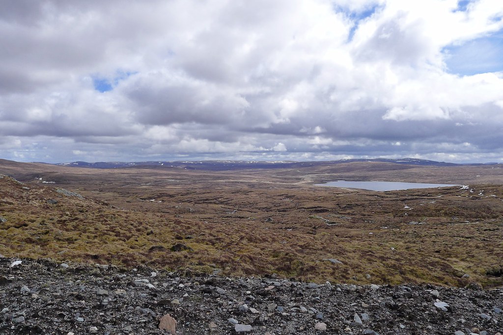
Under a huge sky the hills disappeared into the distance, only broken by the deep notch of Glen Markie. Far off were the bigger hills that mark the edge of the high escarpment on the west of Speyside.
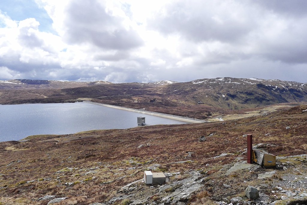
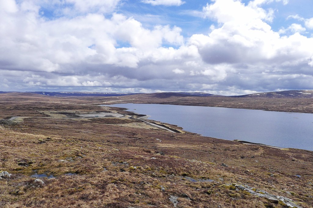
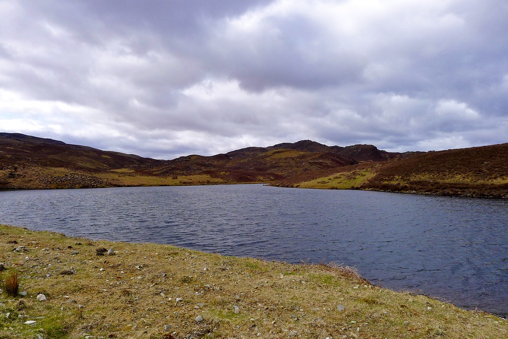
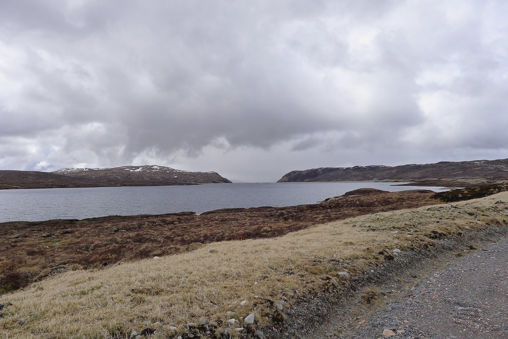
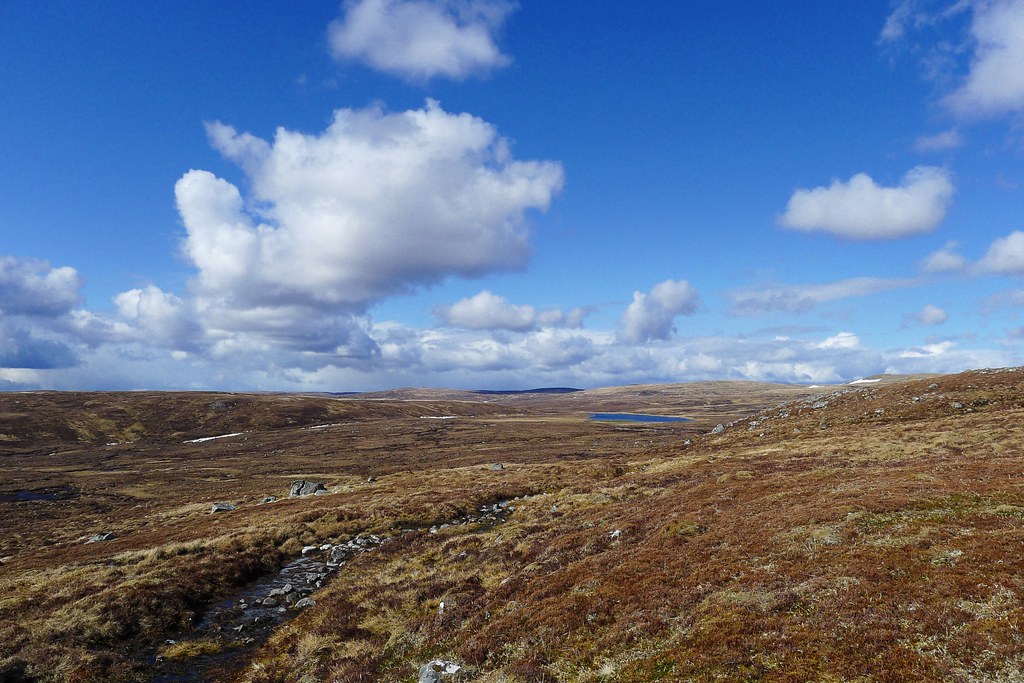
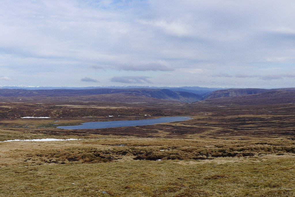
I followed the vehicle track as it wound down to the Glendoe Reservoir and then stopped for lunch near one of the streams feeding this steely expanse of water which sits up near the 800m contour. The sculptured banks of the stream provided a comfortable sitting area with enough height to shelter me from a bitterly cold wind. The feet aired whilst I munched on oatcakes, cheese and salami, all “fresh” from Fort Augustus the day before.
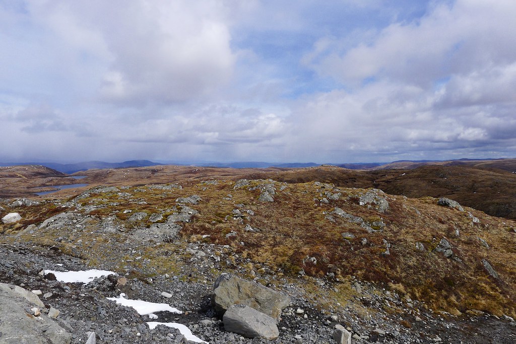
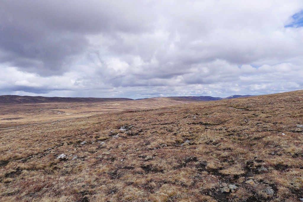
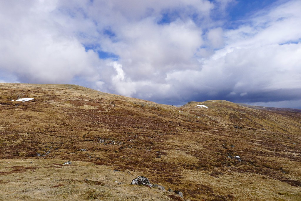
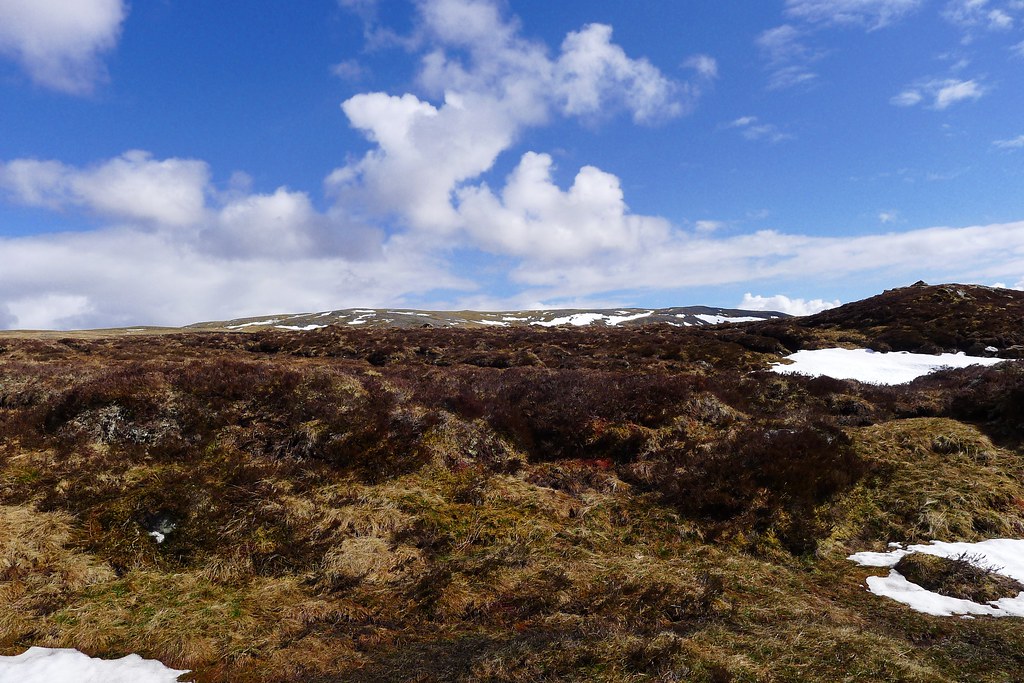
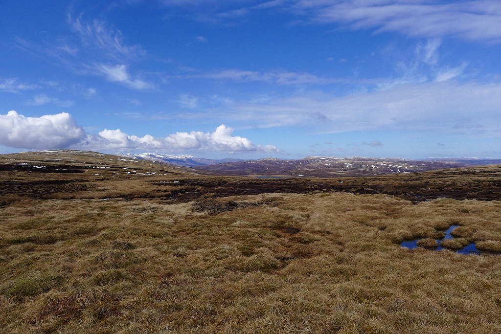
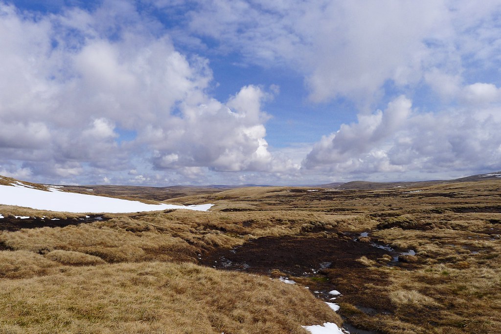
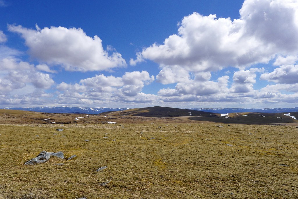
After a morning on tracks I was now facing an afternoon of heather, bog and peat hags. It started well with a gentle climb up to Meall Caca which brought with it views of the nearby Corbett Gairbeinn, as well as the complicated network of peaks and lochans that I aimed to navigate through to reach Meall na h-Aisre, my intended Corbett summit.
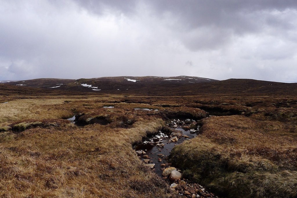
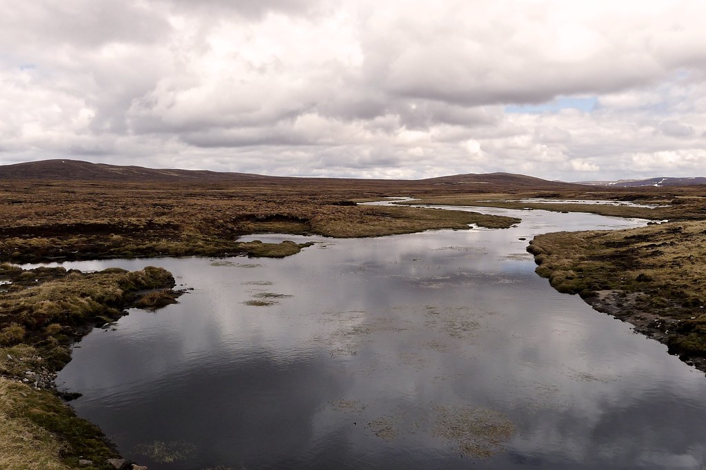
Taking a bearing for Lochan Iain I followed it as best I could through the myriad waterways, pools and marshes and in fact mostly made forward progress and mostly kept my feet dry.
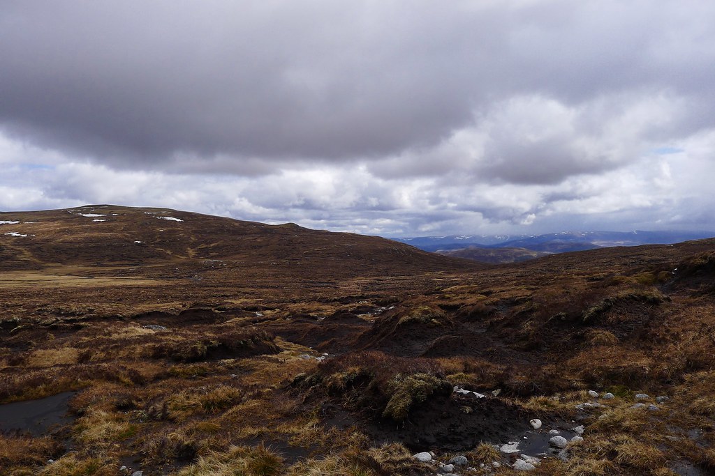
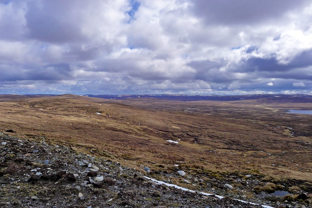
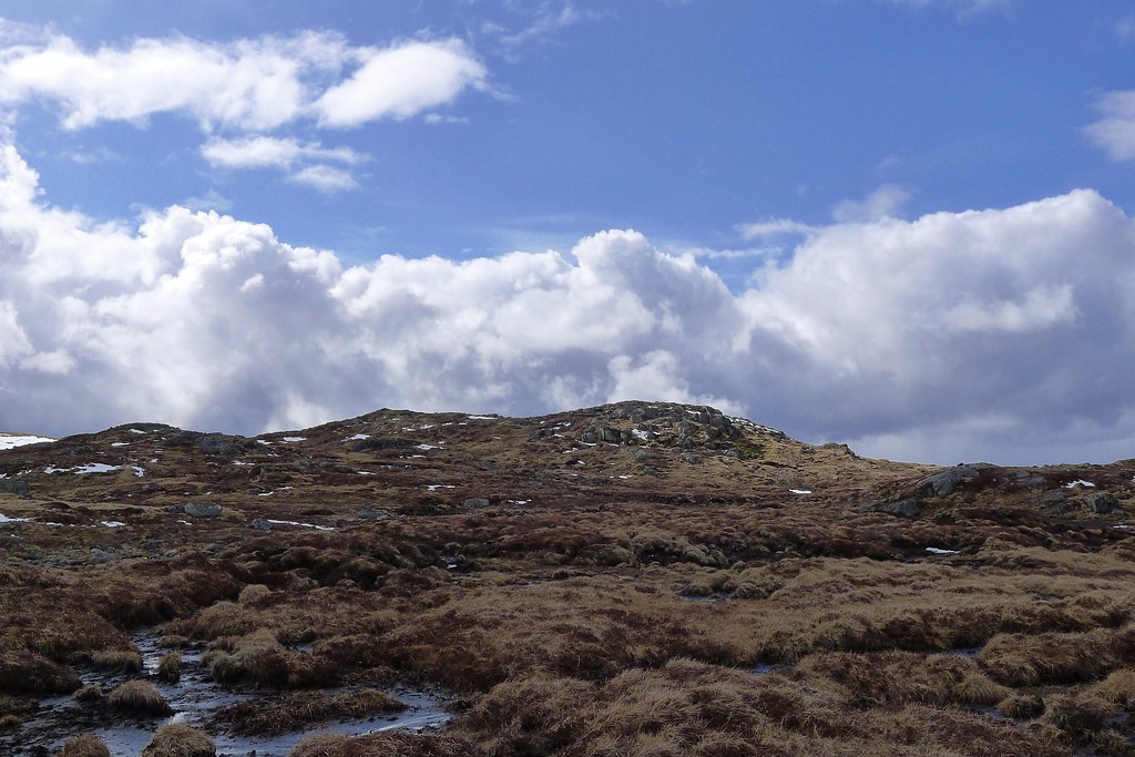
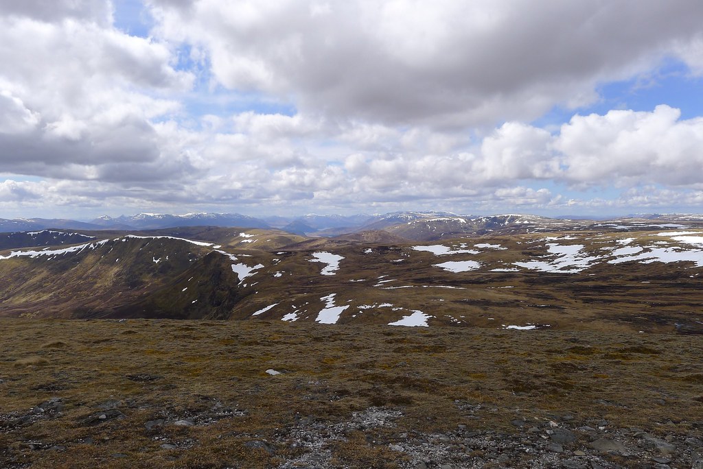
Eventually the ground started to rise and I made swifter progress up to a little prominence on the southwestern shoulder of the the Corbett. After more showers the sun was back out and I relaxed, removing waterproofs and taking the time to look out across the upper reaches of the Spey. Nearby was Garva Bridge, a popular stopping point for Challengers en route to Laggan and Speyside.
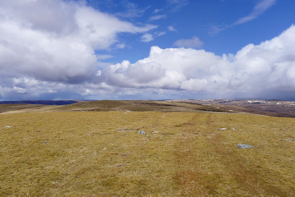
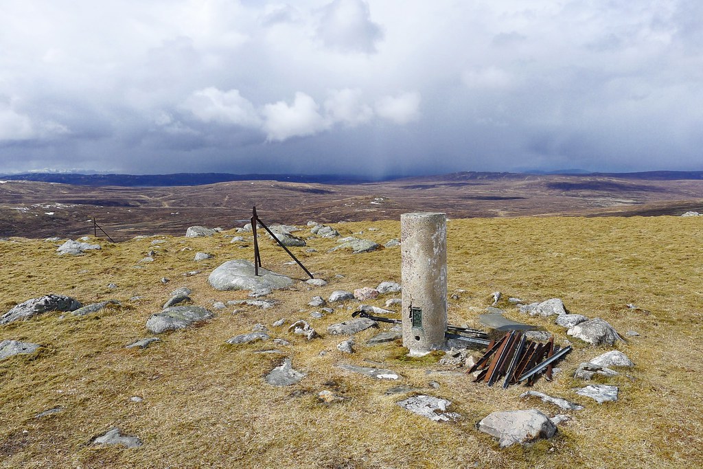
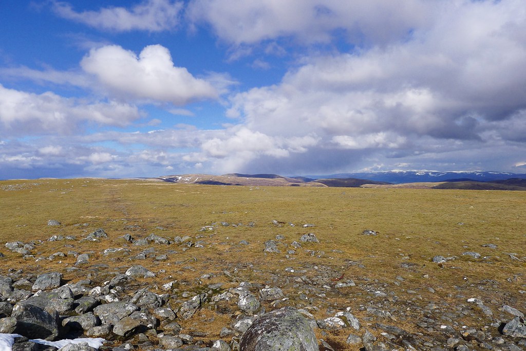
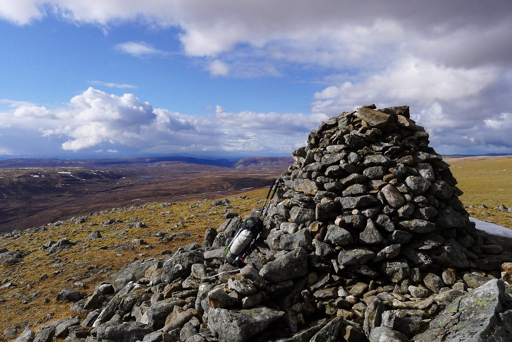
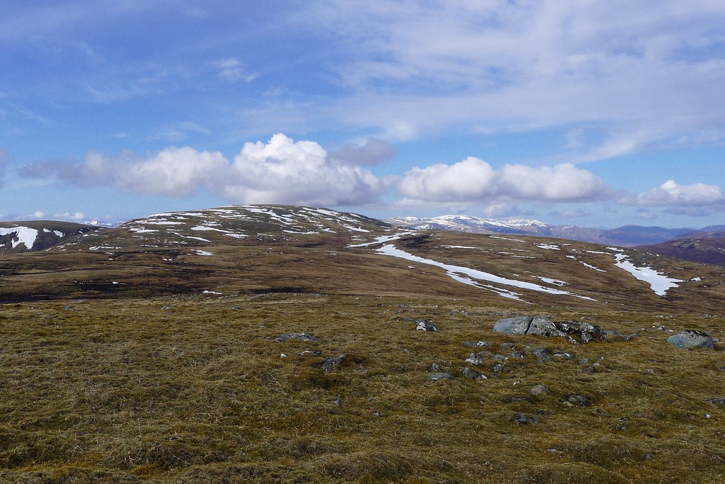
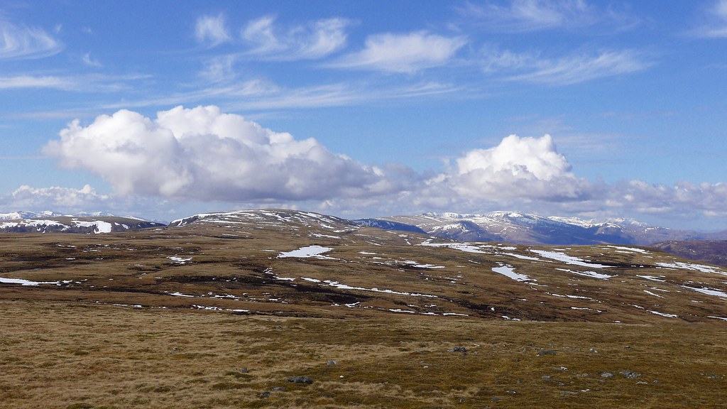
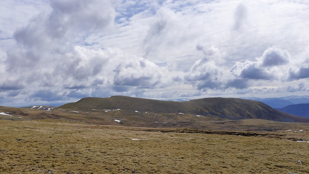
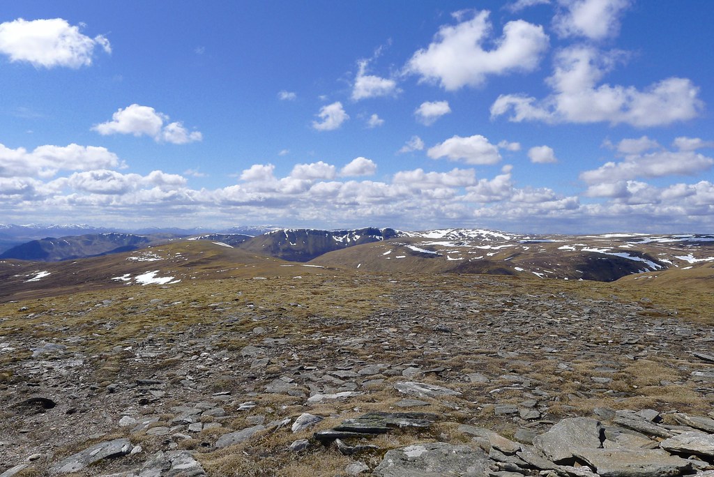
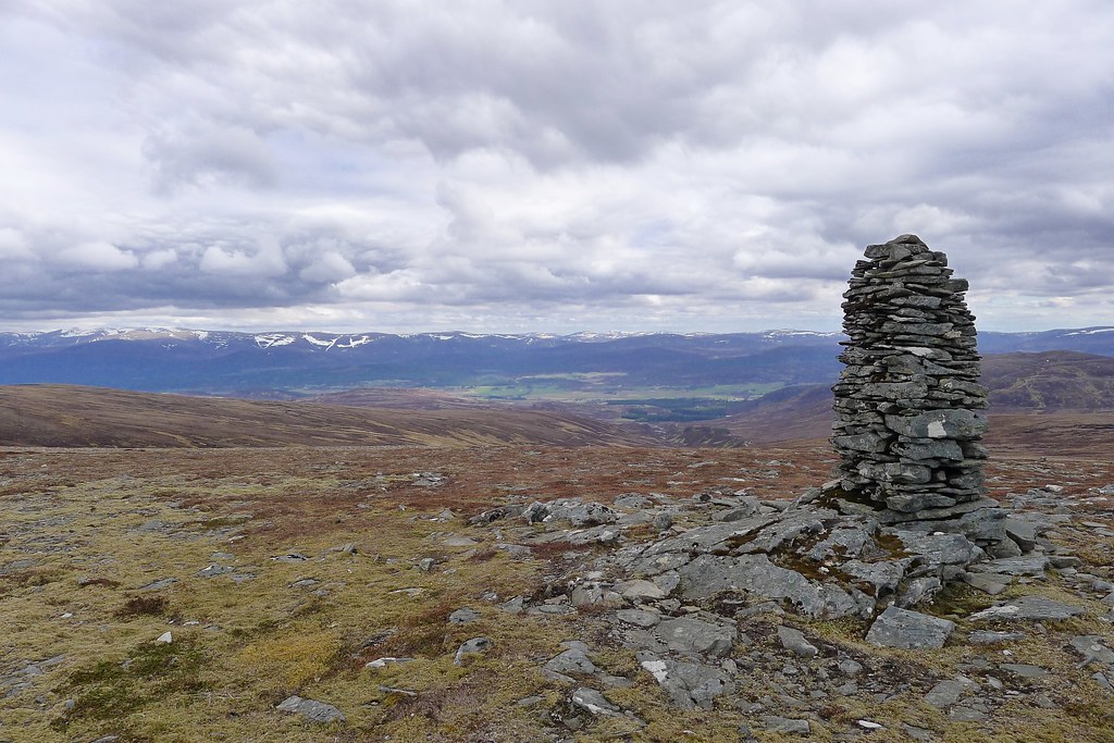
The final gentle slopes were easy enough on short, springy heather and the summit plateau with trig and cairn soon hove into view. Although the wide expanse of the plateau largely robbed me of views I was pleased to see the Munro of Gael Charn looking quite close by now and also. The weather now seemed set to be pleasant for a while and I lounged about under the blue skies and sunshine.
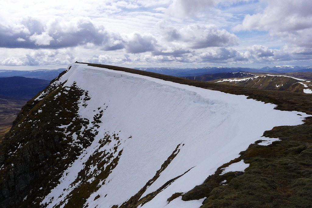
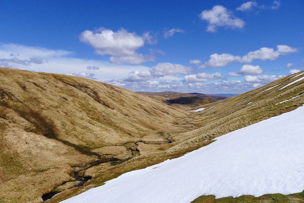
Dragging myself away from the summit of Meall na h-Aisre took me across a minor top and then down an interesting snow slope to reach the craggy summit of Creag an Lochain Dubh sitting above another area of marsh and bog which gaurded this northwestern approach to Gael Charn.
Thinking there might be another precipitous snow slope on this hill I headed slightly south to reach the valley and then picked my way through various grades of swampy ground to reach the Feith Talagain. The water was running swift and cold but it was an easy boulder hop and after refilling my water bottle I headed up the broad northwestern ridge of Gael Charn.
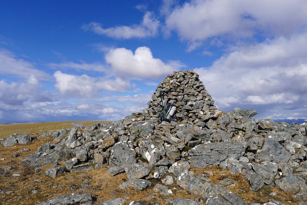
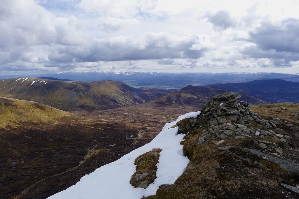
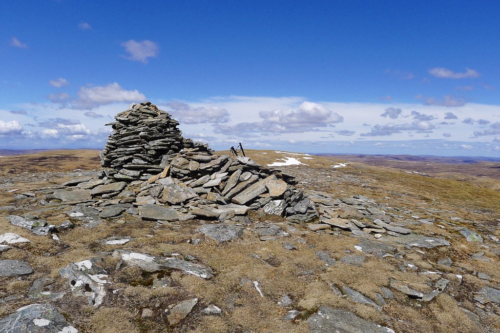
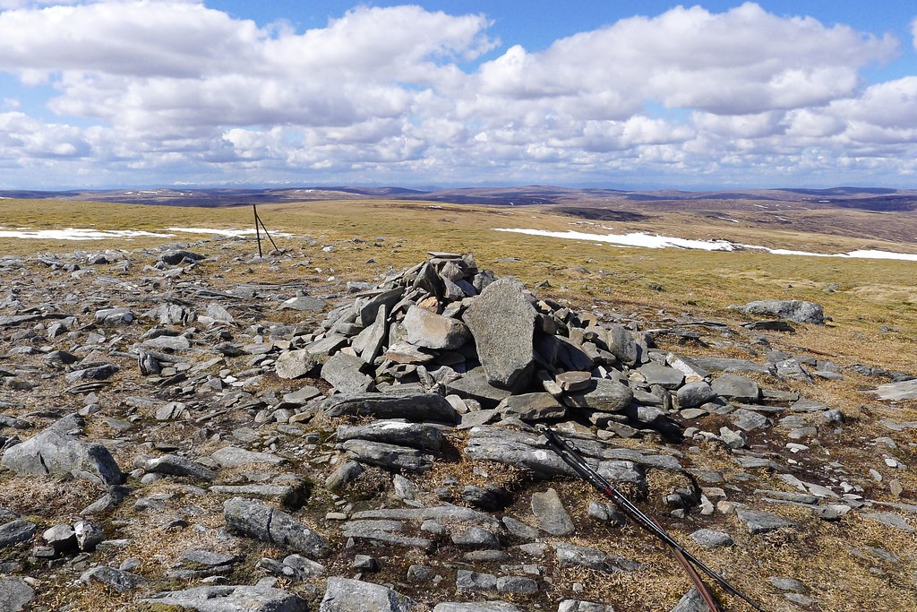
Soon I met a path and followed this up the final slopes, which were a mixture of melting snow and little streams, to reach the plateau. The Munro summit at 3,038ft was marked by a large cairn across the plateau and I made it just on 5pm as a gorgeous evening light suffused the hills.
It was a bittersweet moment. After a notion of hitting my half way Munro in the spectacular hills of Knoydart last August was foiled by the weather, and then a plan for it to be on the Munros of Affric earlier in the Challenge was again weather affected, it came down to Gael Charn, an unassuming Munro at the southern end of the Monadhliath escarpment to be my 141st and halfway Munro. Just another 141 to bag now!
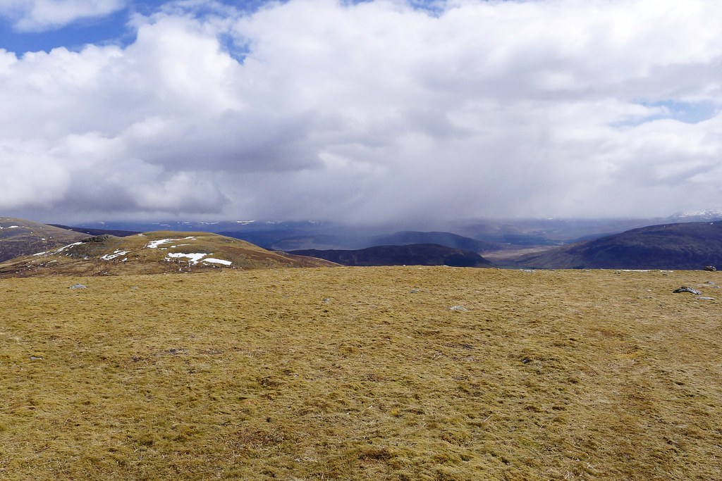
The evening was warm and as I sat snacking I watched showers play out over the Ardverikie Hills and the bulk of Creag Meagaidh.
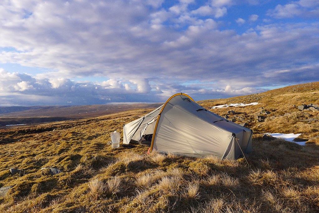
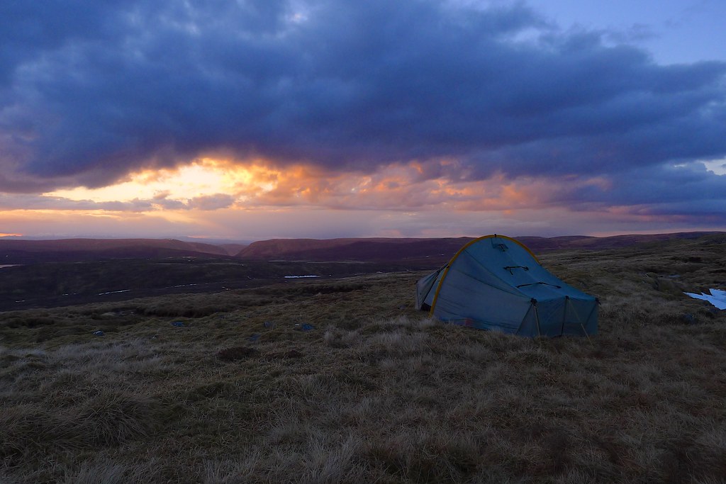
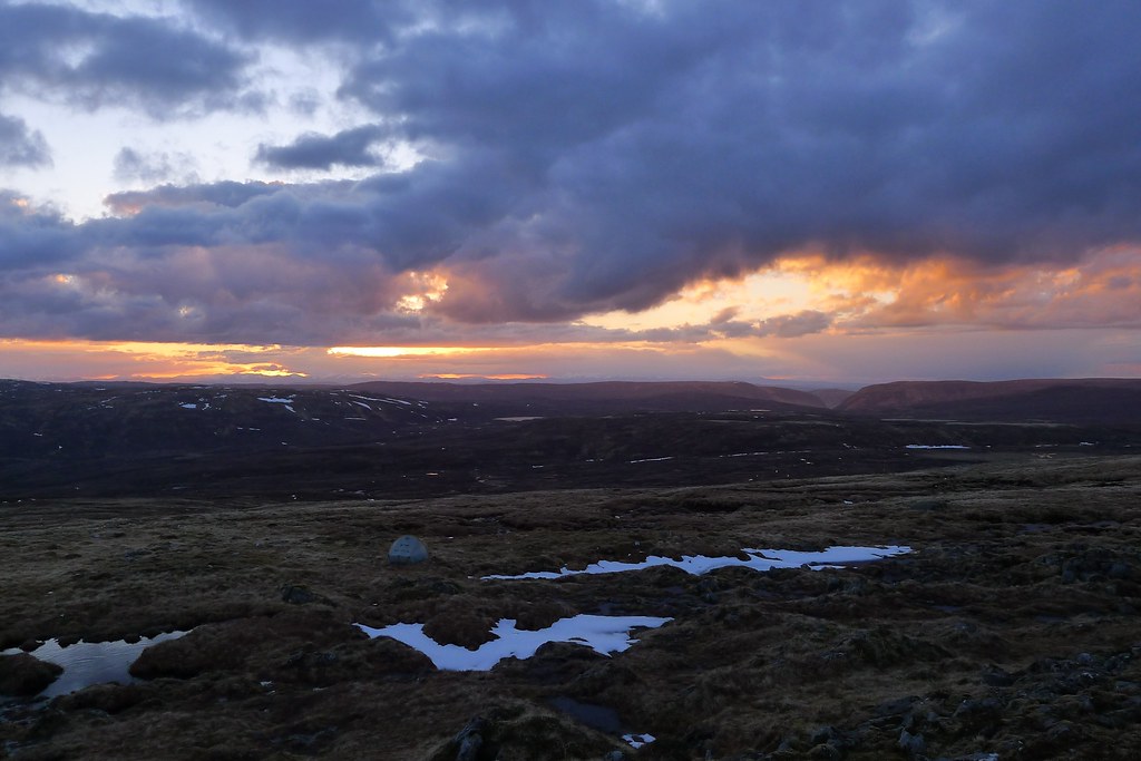
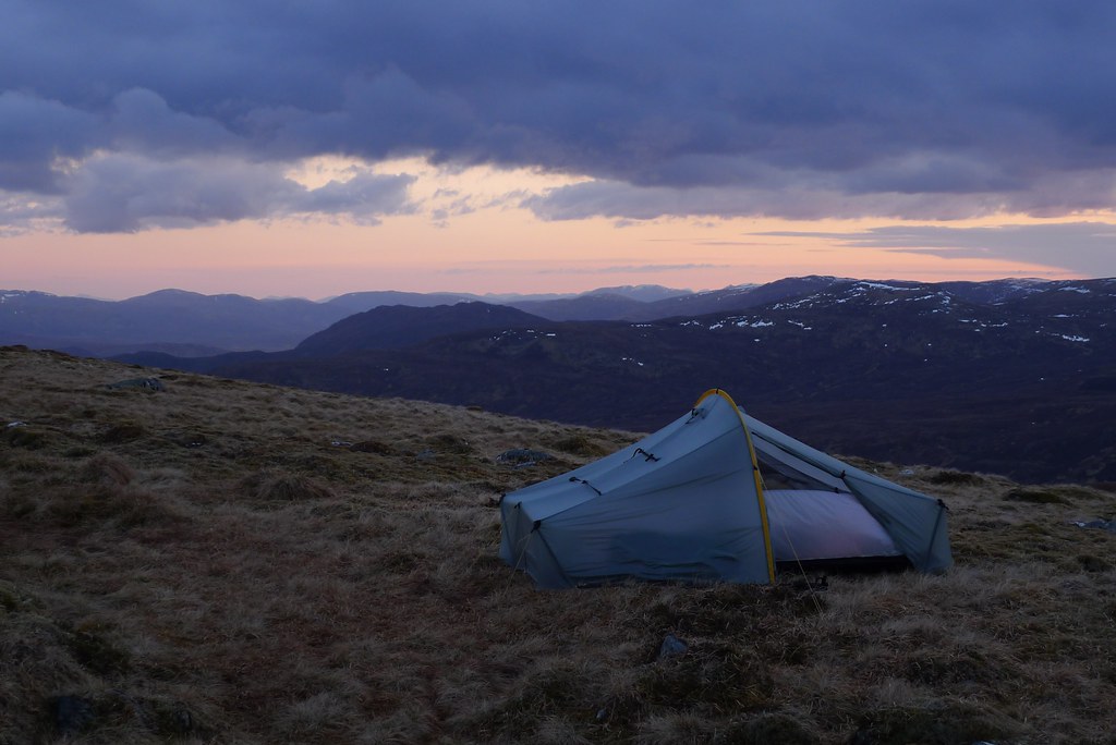
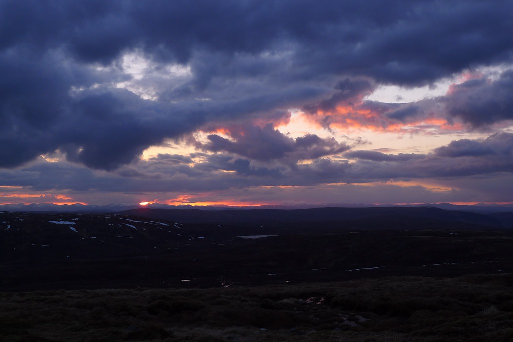
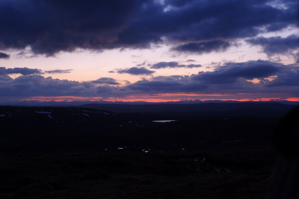
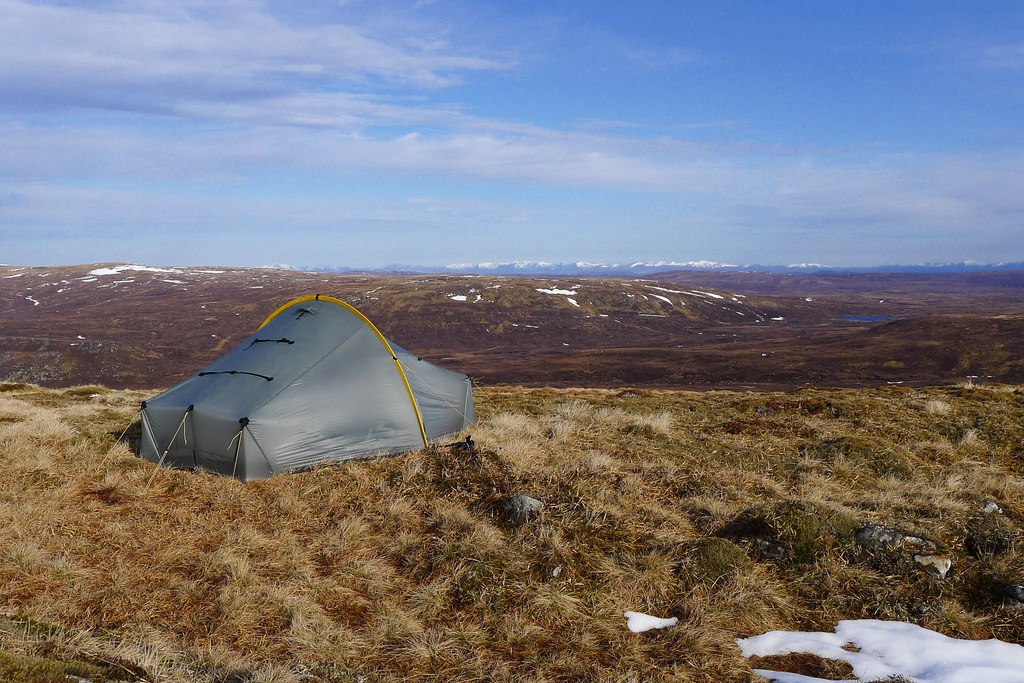
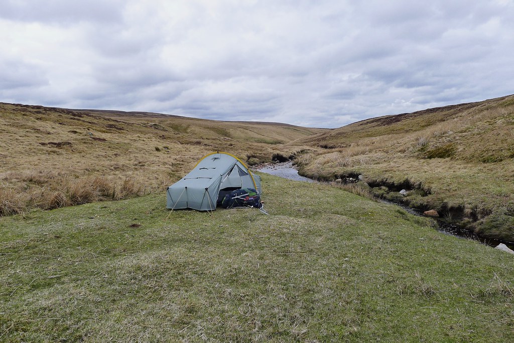
My sojourn was broken by a new shower which seemed heavier and darker than the rest and was making straight for me from the east. I packed up and retraced my steps across the plateau and down to the col. A quick scout around below the ridge found a perfect spot with springy moss to pitch on and what I hoped would be a grandstand view if the weather cleared. As I pitched the tent it started hailing, hard.
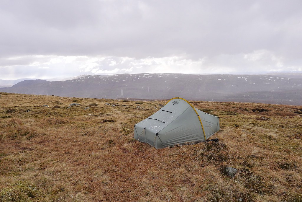
With the tent up I jumped inside to shelter from the stinging shower. It lasted ten or fifteen minutes but as it relented I headed back out to pick up water from the stream above me.
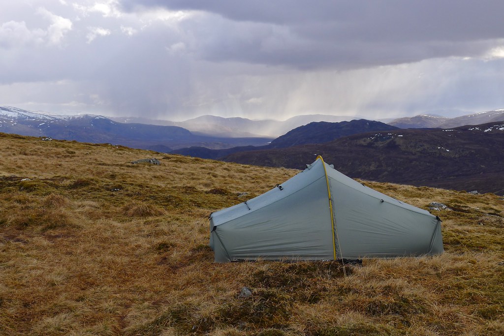
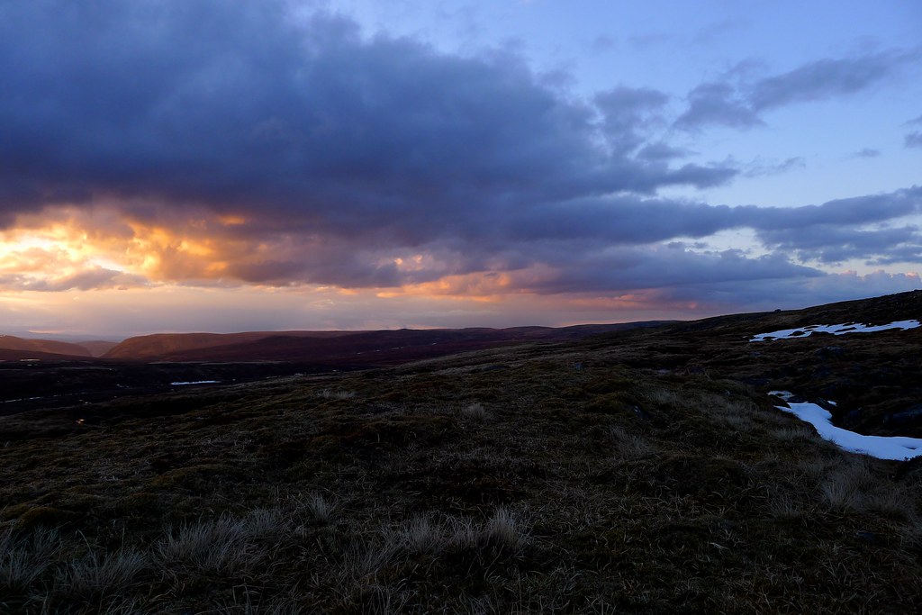
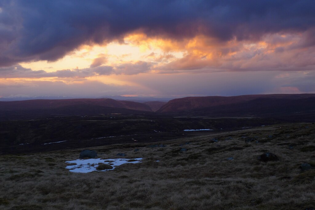
Back at the tent I relaxed with a cuppa (I even had a wee pot of UHT milk from the B&B - something sorely missing from the first four camps) as the sun came back out. The view revealed by the retreating clouds lived up to expectations and I spent a happy evening watching the changing light over the surrounding hills.
At around 8pm the strangest thing happened. I was listening to a podcast as I cooked and ate but even through my headphones I couldn’t help but notice the clear female voice raised in song that drifted down from the direction of Gael Charn. It was an otherworldly experience as the voice faded out and then some fifteen or twenty minutes later faded back in. I deduced that it was perhaps a fellow Challenger who had been up Gael Charn and was now seeking out a stopping place for the night. Again the song faded away and despite getting up and looking about I didn’t see its owner who must have kept to the ridge some distance behind and above my tent.
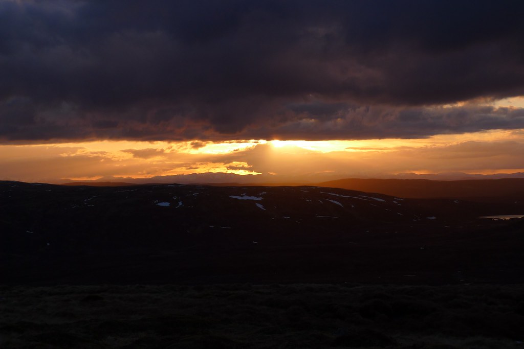
As sunset approached a little more cloud built and this helped in bringing about a dramatic end to the day, especially beyond the jagged crest of the North West Highlands where a red sun set beyond orange mountains. A crescent moon had risen and with the tent doors open to the cool night air I drifted off to sleep.

Day 7, Friday 17th May
Route: Wild Camp below Geal Charn to Wild Camp by Allt Mor
Distance: 28km (Total 163km)
Hills: Carn Dearg (Munro), A’ Chailleach (Munro), Carn Sgulain (Munro), Carn an Fhreichadain (Corbett)
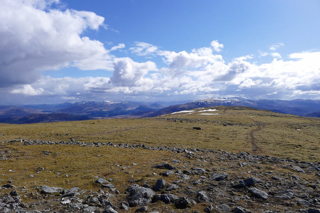
The day dawned bright and sunny and I dozed in until the tent was too warm to stand. Coffee and granola bars were consumed for breakfast in the porch looking out over a sunny world. It looked to be a great day to tackle the rest of the Monadhliath Munros and get towards my next re-supply point of Aviemore.
Packed up and away I followed the easy undulating ridge northeast, picking off a number of rounded summits that led slowly towards Carn Dearg. Soon after starting I came across an Akto pitched in a hollow. Sure enough there was singing coming from inside! For the rest of the day, for no particular reason, I had Neil Young’s The Old Laughing Lady stuck in my head...
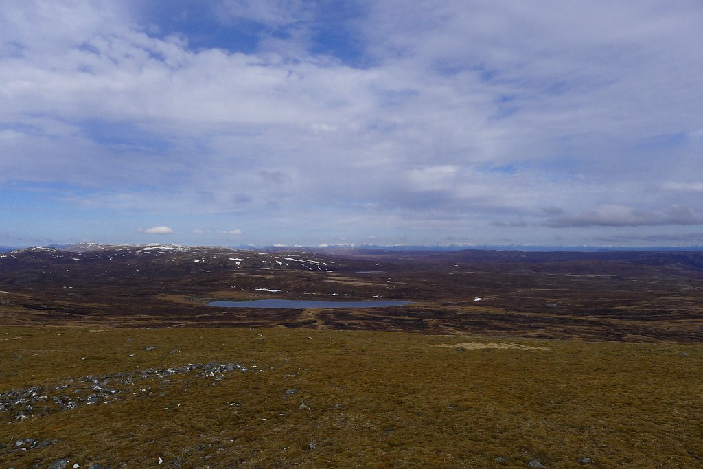
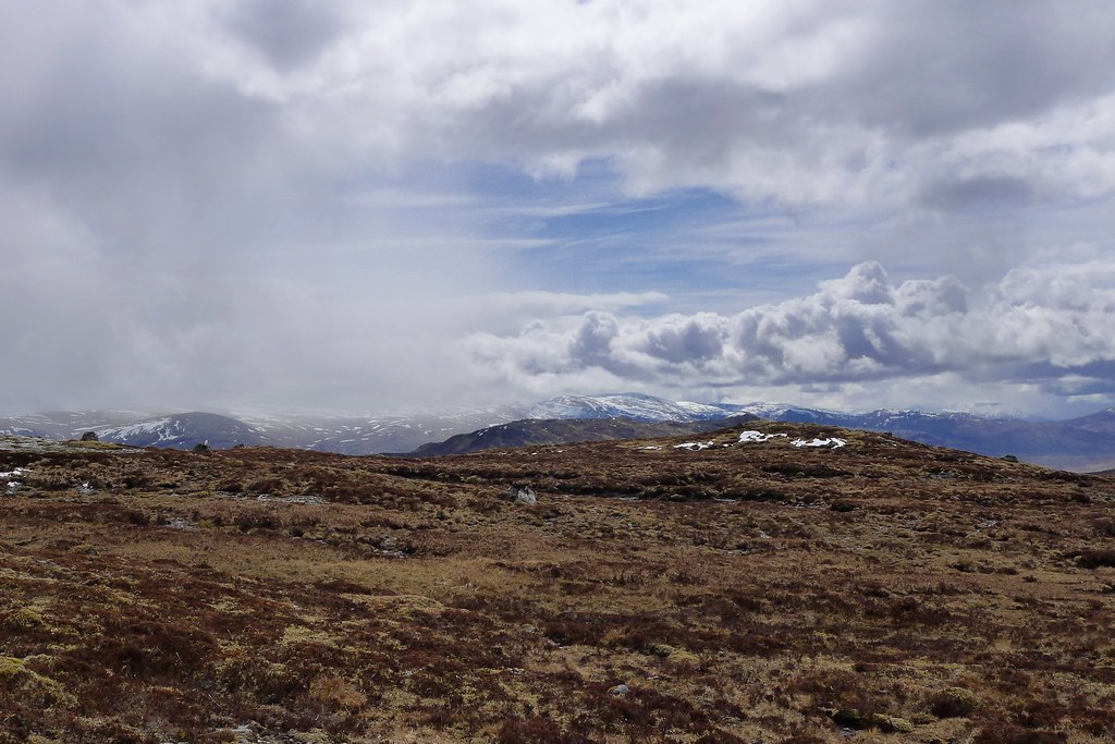
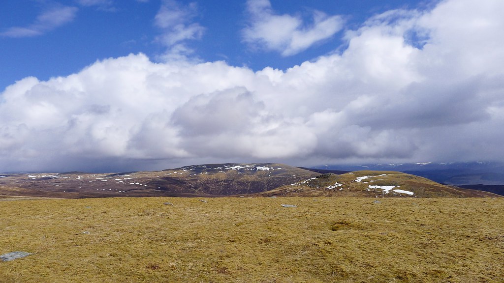
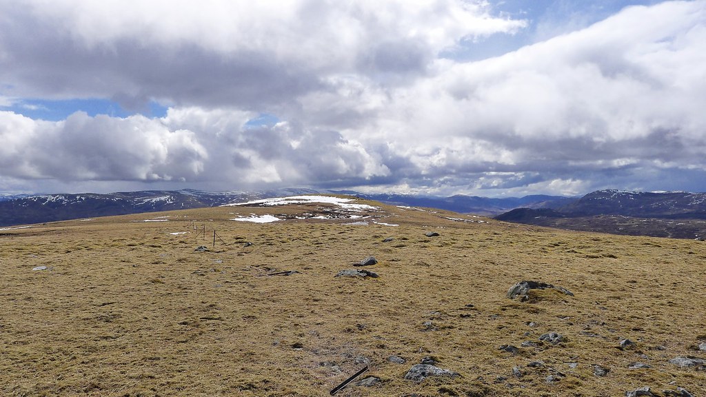
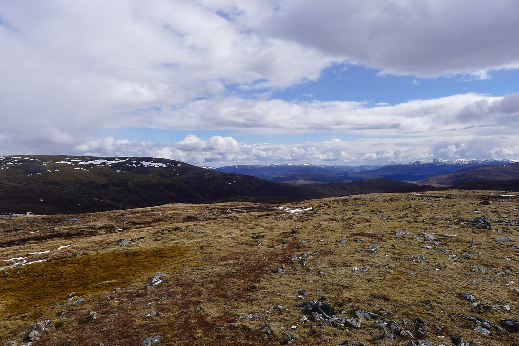
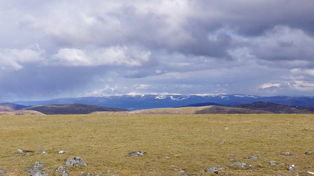
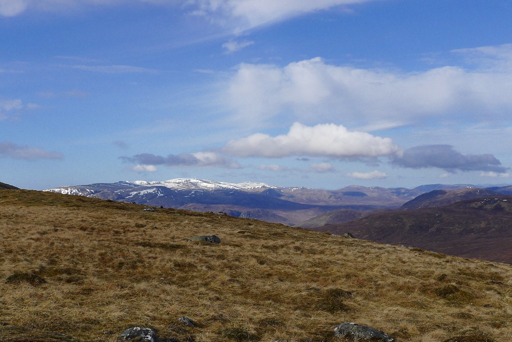
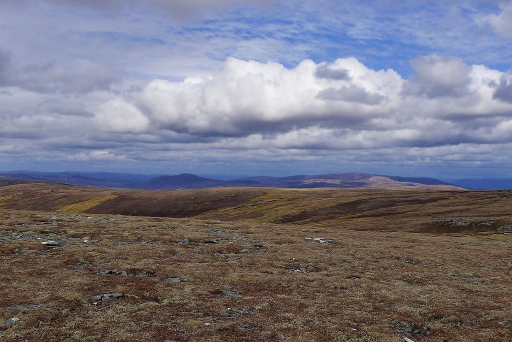
The ground alternated between easy heather and stone and the occasional arduous tract of peat bog and it took a long time for Carn Dearg, the next Munro, to get any closer. Behind me Gael Charn merged into the background of snow streaked mountains and out across the Monadhliath clouds came and went against a blue sky. An occasional snow patch livened up progress.
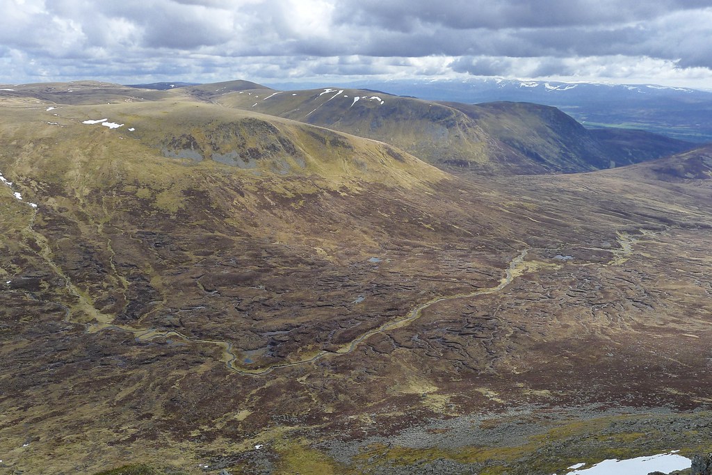
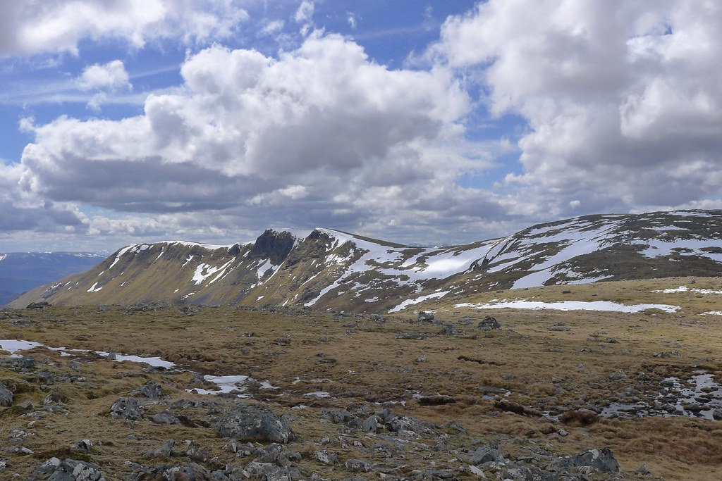
A couple of hours later I was on the subsidiary top to Carn Dearg and followed the cornice-lined cliffs along eastward to reach the Munro summit, marked by a modest cairn.
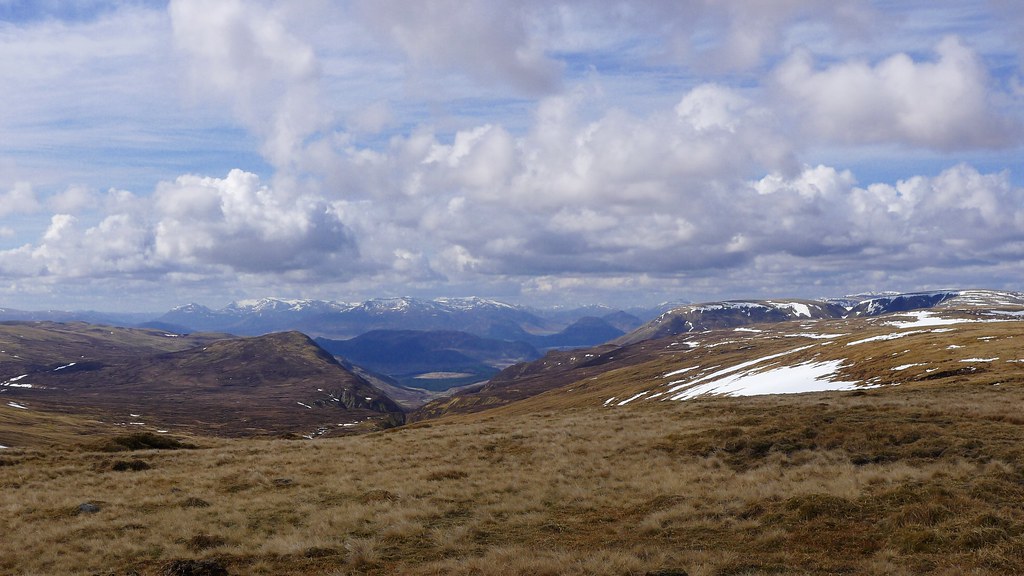
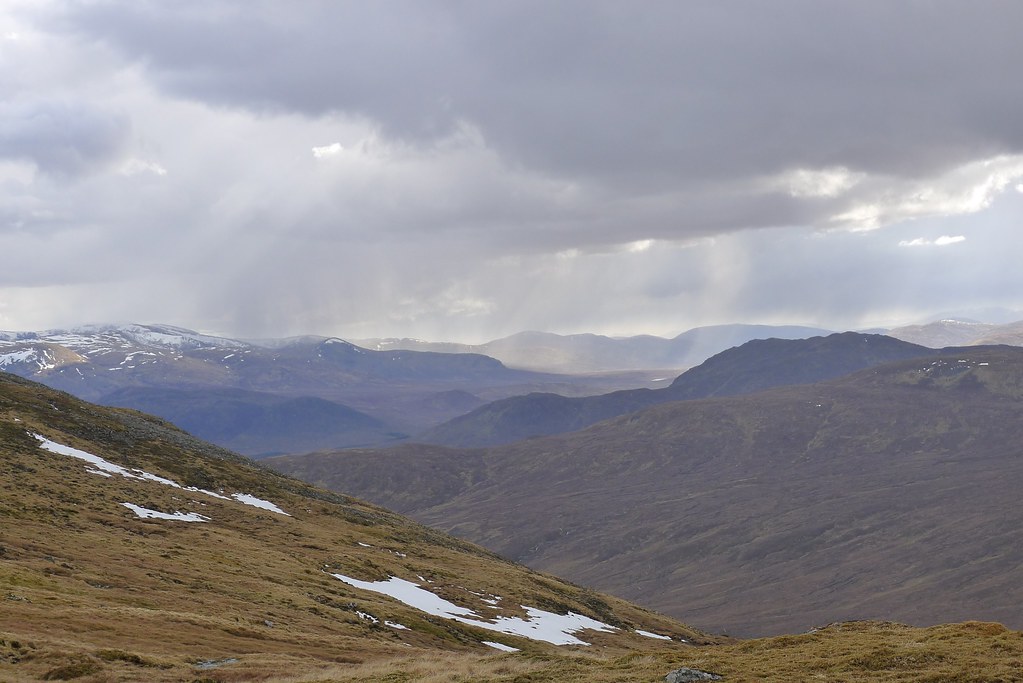
Over the cliffs the amphitheater of Gleann Bealach revealed itself with the other two Monadhliath Munros visible across the far side. Just as I reached the summit the first other walker I had seen on the entire trip also came up to the cairn. He turned out to be a Challenger who had started from Oban. After a brief chat he moved on and I stayed to enjoy elevenses on this high perch.

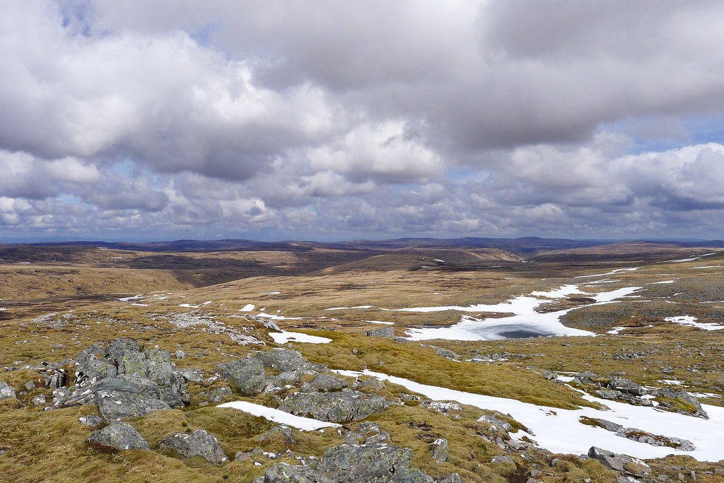
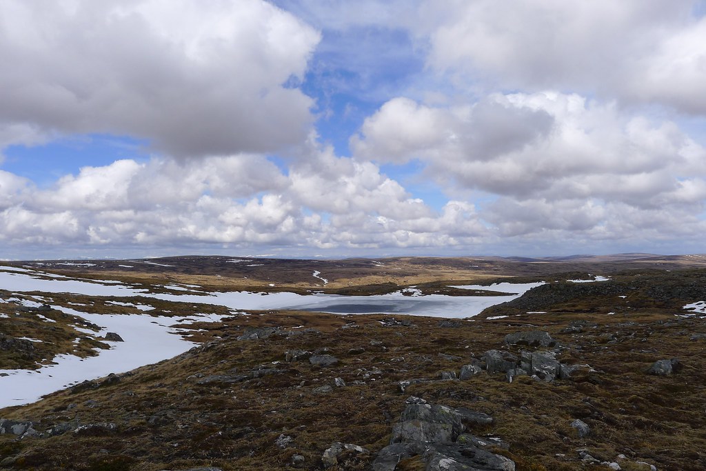
I caught the Challenger up as he stopped for lunch in a sheltered dip a short way beyond the next hill. The route here was easy, following the baggers path around the head of the glen which in turn followed a set of rusting fence posts. After clouding up a little earlier the day had improved and pretty soon it was perfect spring weather with white clouds drifting through on a gentle breeze. There was still some snow around though and Lochan Uisge remained semi-frozen.
The intermediary peaks came and went and soon enough I was dropping down through peat and bog to the dishearteningly low point between Carn Suglain and A’ Chailleach, the two northerly Munros. In a steep sided notch the Allt Cuil na Chailleach was crossed with care having negotiated the steep grassy bank. Suddenly there were lots of people about although it seemed like these were day trippers, plodding on towards the next Munro.
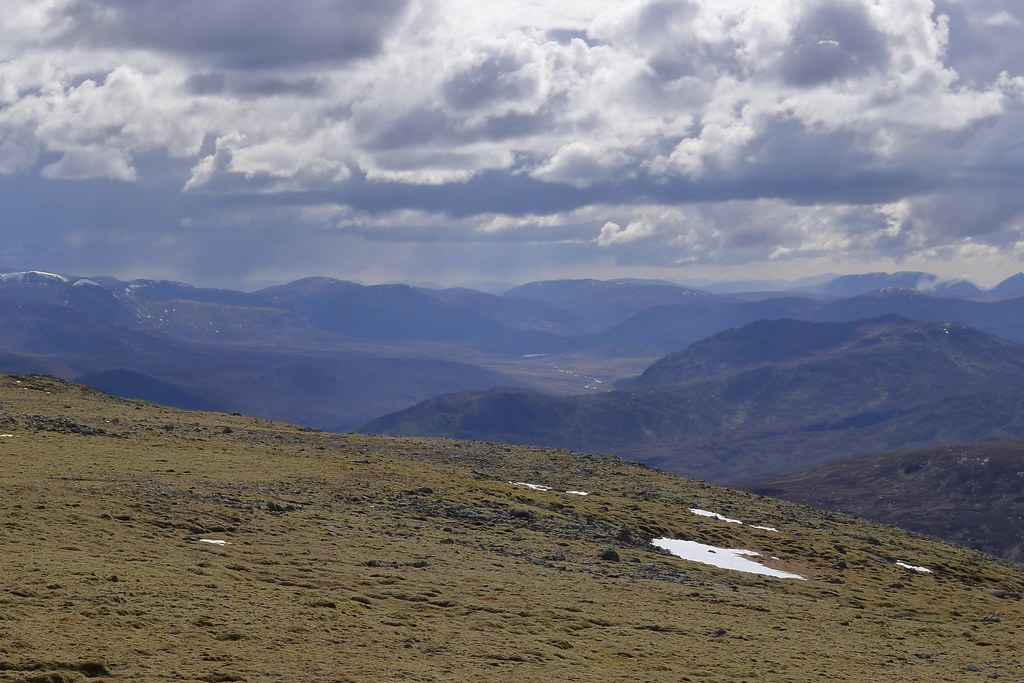
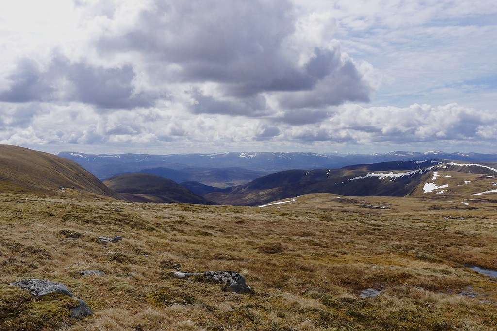
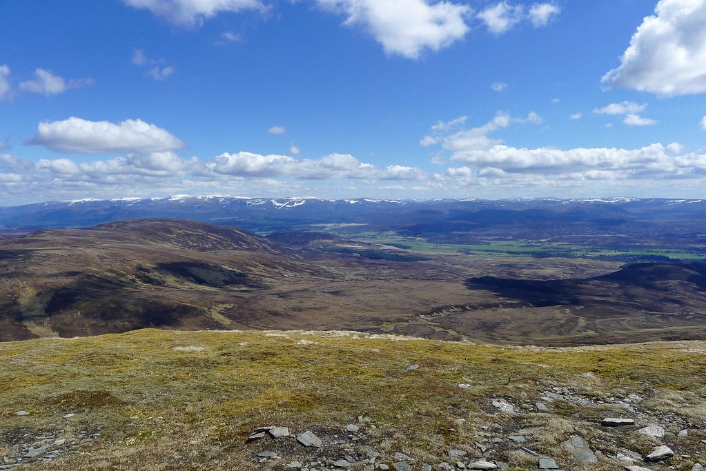
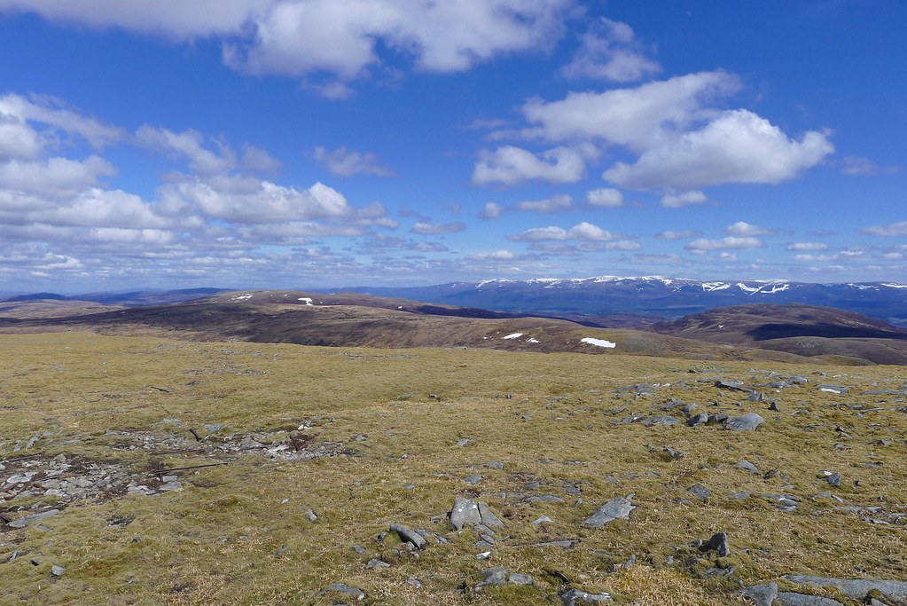
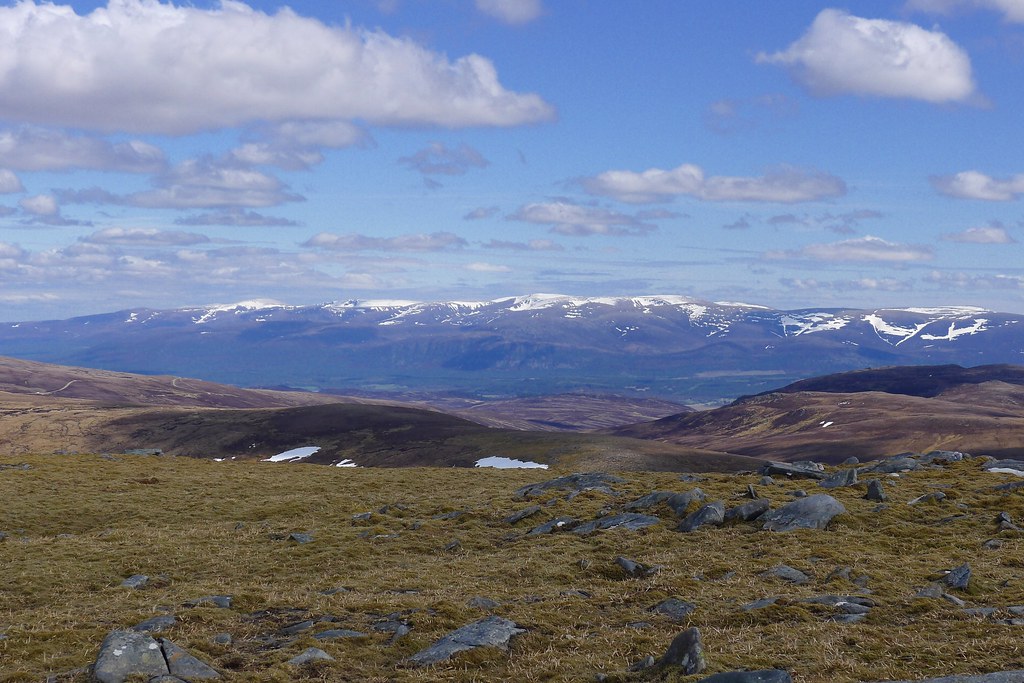
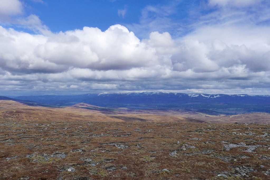
I was happy to get the summit of A’ Chailleach to myself - it was a stiff slog up but a path eventually appeared and led me to the rocky cairn. From here I got my first close up look at the Cairngorms as the views across Speyside opened up.
I paused here for lunch, watching the tiny figures of other walkers head up to Carn Sgulain and across to Gael Charn. The windbreak offered good shelter for cheese and salami and oatcakes munched on in the sunshine.
I returned across the depressing notch, this time skirting further south to avoid the steepest slopes and then followed the high ground to the summit of Carn Sgulain, the fourth and final Munro in the Monadhliath. The weather was holding and with the wind to my back I now made good progress continuing north and east.
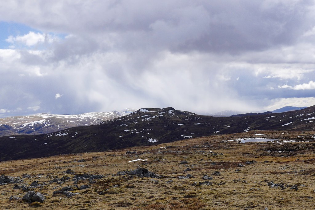
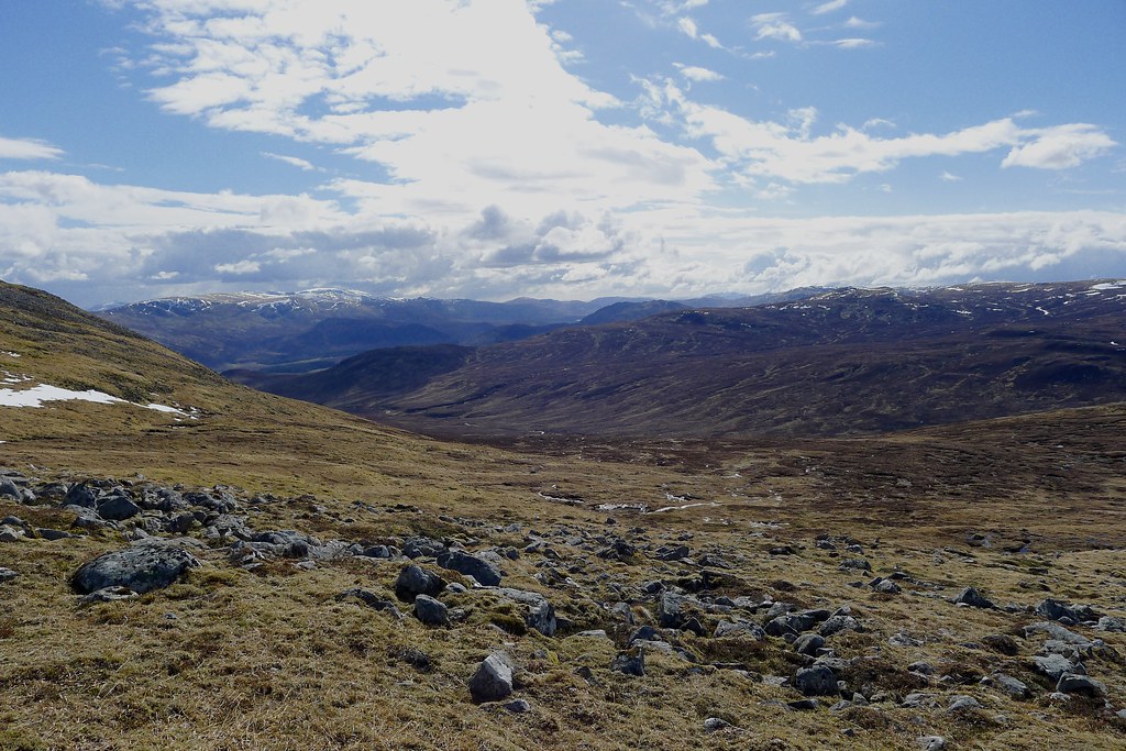
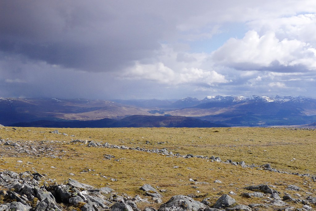
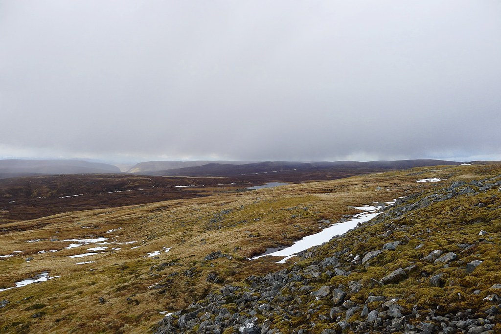
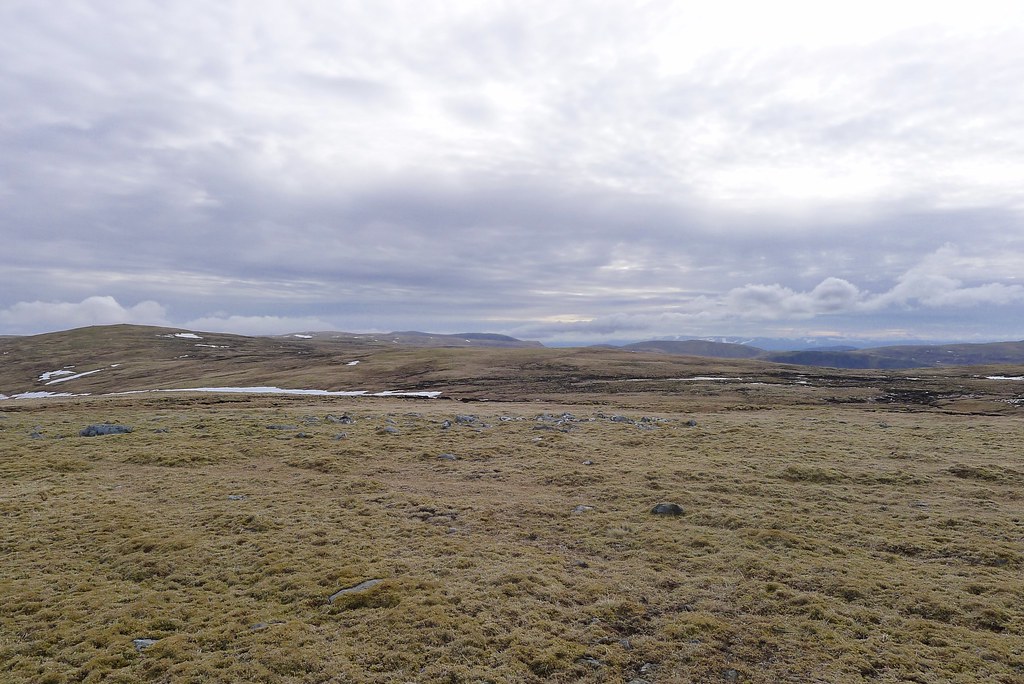
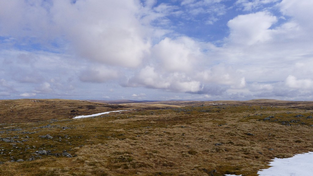
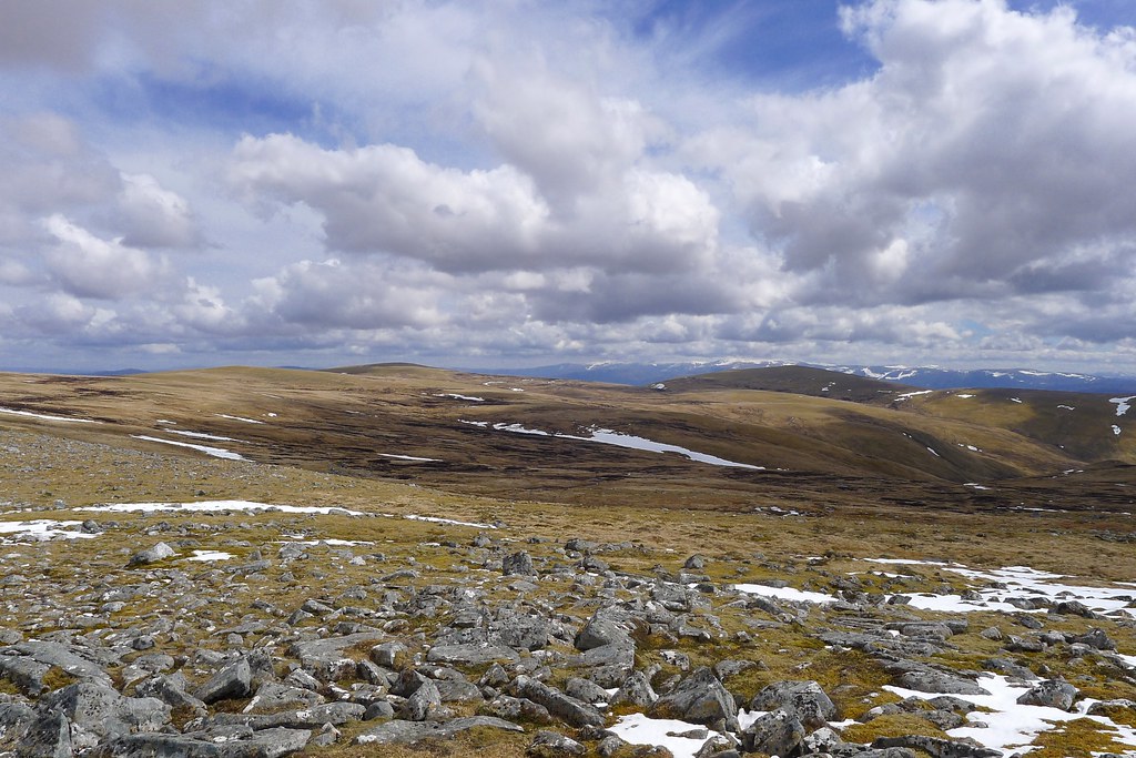
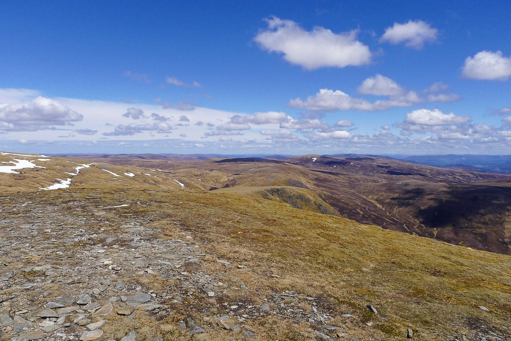
As I crossed below the summit of Carn a’ Bhothain Mholaich and dropped down into the coire containing the headwaters of the Dulnain the clouds started to thicken and the weather felt changeable. I followed a landrover track and then took to more open heather to reach the summit of another Corbett, Carn an Fhreicadain, passing a large cairn just before the main summit.

From this top there was an easy landrover track to follow on a winding route down and up to Beinn Bhreac which offered fine views to the northern Monadhlaith. However, the weather was definitely closing in and so I didn’t waste too much time on the summit but instead picked out a route down to the distant Allt Mor which cuts northwest into the hills.
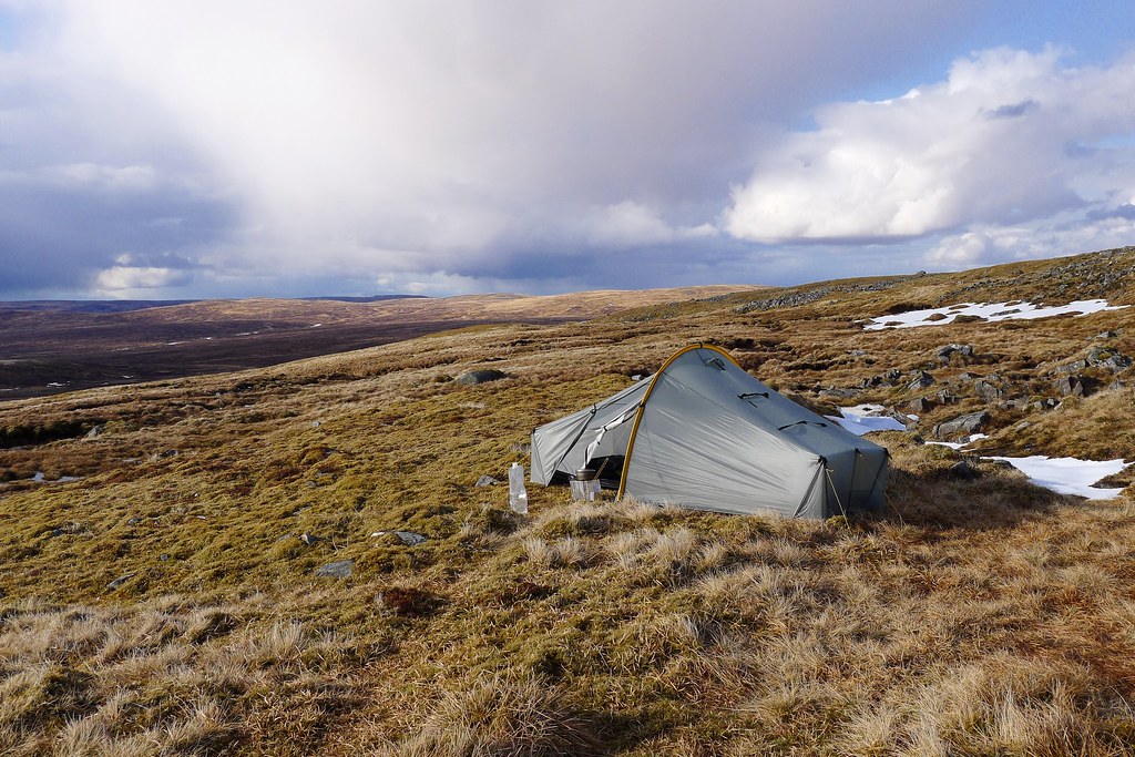
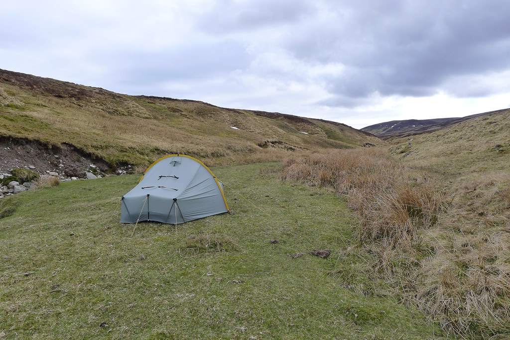
The ground was uneven and boggy but eventually I reached the start of this stream and followed it down until I came to a pleasingly level area of close cropped turf. Again I got the tent up just as the first drops of rain started falling and a blustery wind picked up.
It rained on and off throughout the evening and each time I looked out the cloud had dropped lower. Having fetched water I proceeded to enjoy a relaxed evening though, well sheltered from the weather and as darkness fell I finished off Krakauer’s Into the Wild and then headed off to sleep.
Day 8, Saturday 18th May
Route: Wild Camp by Allt Mor to the Aviemore Youth Hostel
Distance: 21km (Total 184km)
Hills: Gael-charn Mor (Corbett)
The day started cold and grey with the cloud level only just above the tent. I had a relatively easy day ahead of me, with a night in Aviemore planned, and so had a slow breakfast, waiting until the last minute to pack up the wet tent. An occasional shower of rain would come and go but it was more drizzly than anything.
I only had a short distance of wet ground to negotiate before I picked up the landrover track that drops down besides the Allt Mor, eventually crossing the stream by a tidy estate building where the stream turned to drop down into the waters of the River Dulnain.

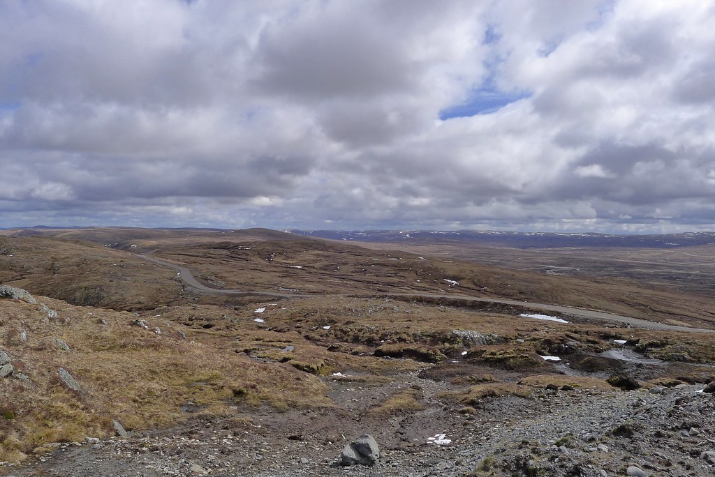
Rather than following the water I now climbed into the mist, following a track around and below A’ Bhuidheanaich that would eventually rise to cross a pass down towards Kincraig. I wasn’t going to hit Speyside just yet though and now had a short period of micronavigation ahead. Rising up to the top of the ridge close to Carn Coire Dhugain brought me into unpleasant wind, cloud and more persistent rain.
I stoically set a bearing and followed the compass across lumpen, boggy ground, neogtiationg a shallow coire until I picked up another vehicle track heading to Carn an Fhurain Duibh. It was all rather grim in the steady drizzle that was falling. Eventually this track petered out below the steep north-western slope of Gael Charn Beag which I clambered up, picking a way between unstable fields of boulders and slick grass.
Once up the steep section, the summit of Gael-charn Beag was quickly reached and then it was fairly easy to follow the rise of the hill up to the Corbett smummit of Gael-charn Mor. Two figures and a dog were leaving the cairn just as I arrived but I got a wave as they headed off into the thick clag.
I stopped here for an early lunch before following them down the eatsern side of the hill. This brought me down to the distinctive red gravel of the Burma road, another way down to Speyside. I didn’t fancy the crossing of the A9 so decided to face a last section of misty hillwalking. This took me around below another Gael-charn Beag until I picked up a stream that I followed down the hillside. The wind eased and eventually I dropped below the cloud. It was still raining though.
I had trouble locating the marked path but perservered, crossing a high deer fence and then following the upper boundary of a plantation across boggy ground until I finally found a clear track heading down the north side of Milton Burn. Grateful for the clear way forward, and the better shelter under the trees I made good progress down hill, crossing one deer fence by a high stile and before too long emerging out, somewhat unsettlingly, in the back of a new housing estate in Aviemore. I used the handy underpass to get across the A9 and then followed the streets down to Aviemore’s main road.
It was at this point that the rain really started and I had a damp trudge down the road to the Mountain Cafe where I felt a little guilty joining the queue of neatly dressed folk waiting for a table. This was all washed away once I had a table and got a steaming bowl of soup, a delicious wrap and a huge cup of coffee.
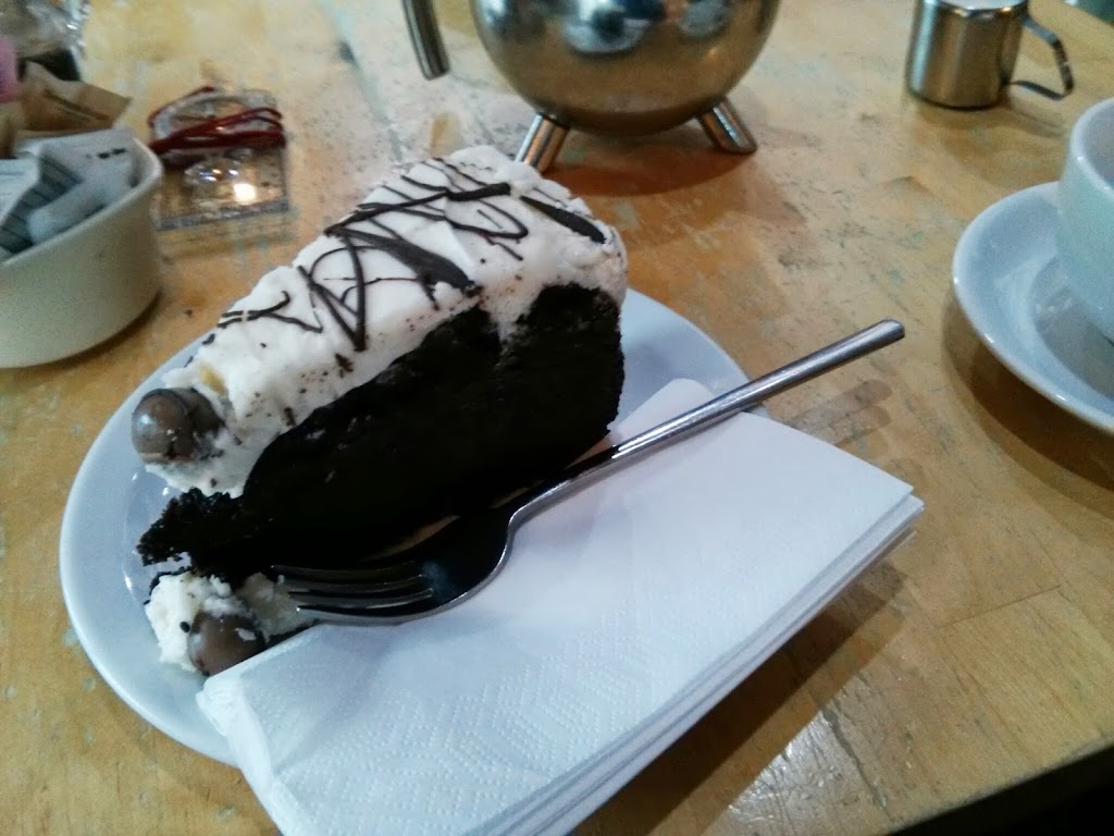
For dessert I went for a cup of tea and the biggest slice of carrot and chocolate cake ever seen, and wiled away the time watching the world go by outside and catching up on messages. It was in this way that I learnt that Rich had taken a day off in Aviemore and that I had caught him up. Soon enough he came down from the Youth Hostel and we had a quick catch up, comparing notes on our respective Challenges so far.
Tea and cake done I headed to Tesco to resupply, amusing Rich with some of my choices, and then went down to the Youth Hostel to check into my plush (!) single room. A hot shower and a chance to change out of well worn clothes was very welcome.
That evening we headed down to the Old Bridge Inn where a fine dinner was washed down by good Cairngorm Brewery Ale, routes were compared and a plan was decided upon for the next day.
Back at the Youth Hostel I put a call into home (having already updated Challenge Control on my progress before dinner) and then headed for bed, confident that everything would be dried out and that all my electronics would be fully charged...
Aviemore felt like a good milestone to reach. The hills would now be much more familiar and the east coast seemed like an achiveable target, especially with the promise of good weather for the next couple of long days in the Cairngorms.