A midsummer celebration walking the route of The Minigaig from Calvine on the A9 through to Glen Feshie.
Date: 22nd June 2013
Distance: 39.79km
Ascent: 1,112m
Hills: Leathad an Taobhain [912m, Corbett]
Weather: Low cloud and hillfog, later sunshine and some brief rain
Route: View on OS Maps
The rain seemed to start seconds after we pulled up in the tiny hamlet of Calvine, just off the A9 near Blair Atholl. It was two in the morning on a humid midsummer night and we were here to walk north across the hills to Glen Feshie, some twenty-four miles away.
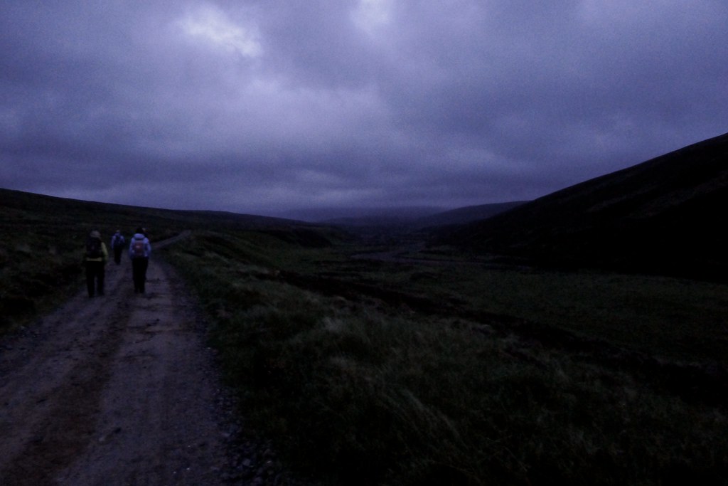
Under heavy clouds it was the dark middle of the night and we only slowly got ourselves ready. Towards 2:30am the rain eased and with headlamps on we moved off, winding our way through a back lane and then carefully crossing the A9 to reach the land rover track on the far side. This would lead us across the low hills to the north of the main road and then down into Glen Bruar.
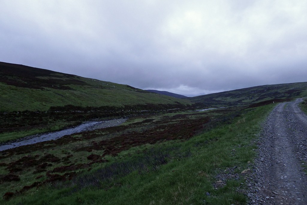
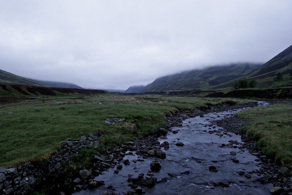
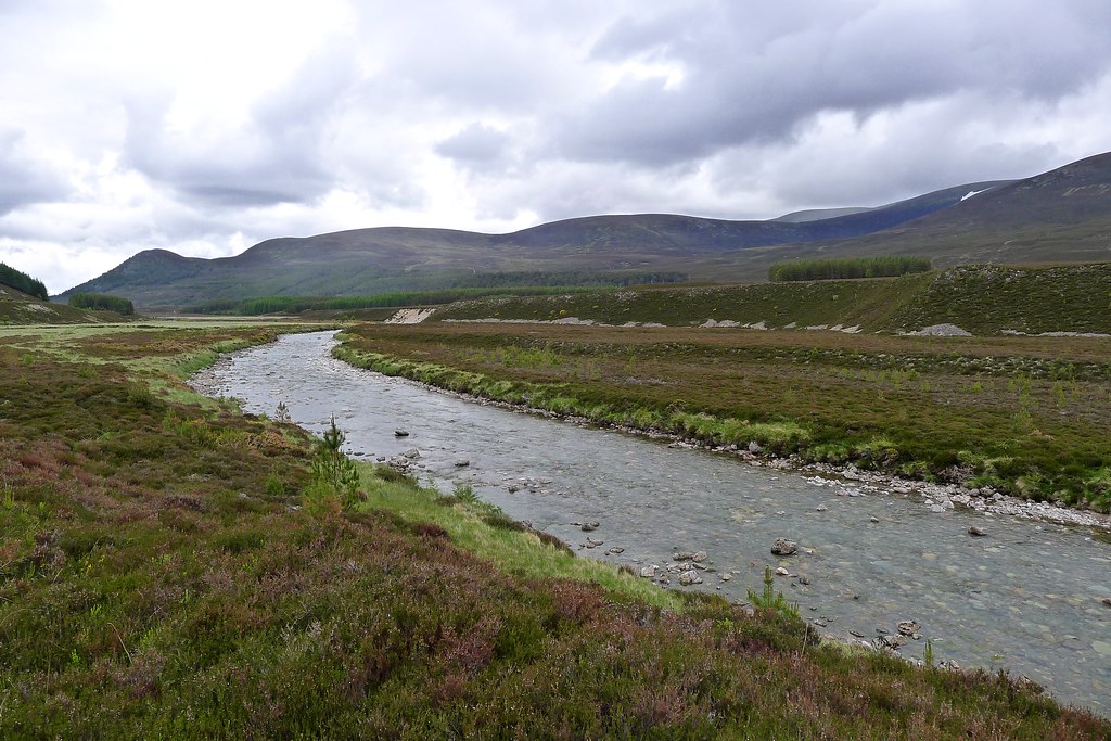
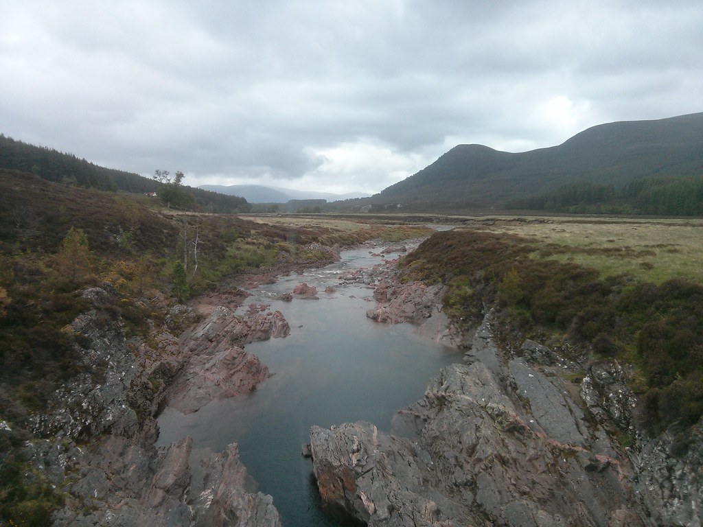
The twinkling tail of head lights was an interesting sight as we slowly gained height. Very gradually the pale light of dawn crept up over us and after disturbing a huge herd of deer we dropped down to the Water of Bruar. There are a number of dams on this river and after a few weeks of little rainfall there was almost nothing more than a rocky river bed to see.
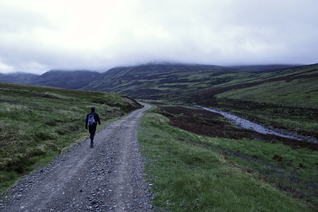
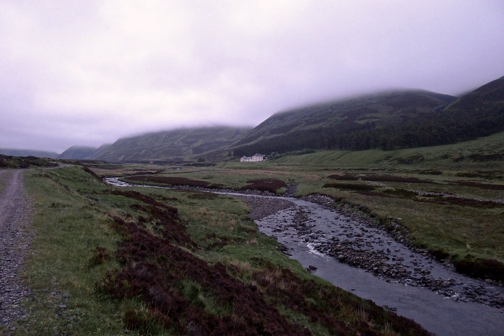
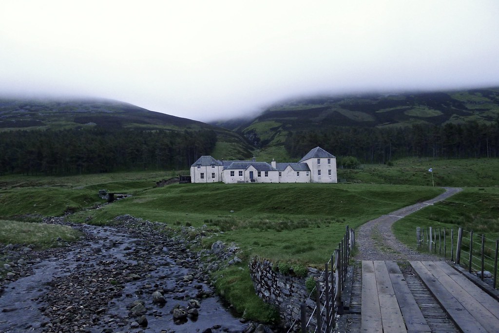
We wound our way along the track, passing a somewhat bedraggled group of tents, and then crossing the river at Bruar Lodge where in the cold, pale light of morning we stopped for our first breakfast.
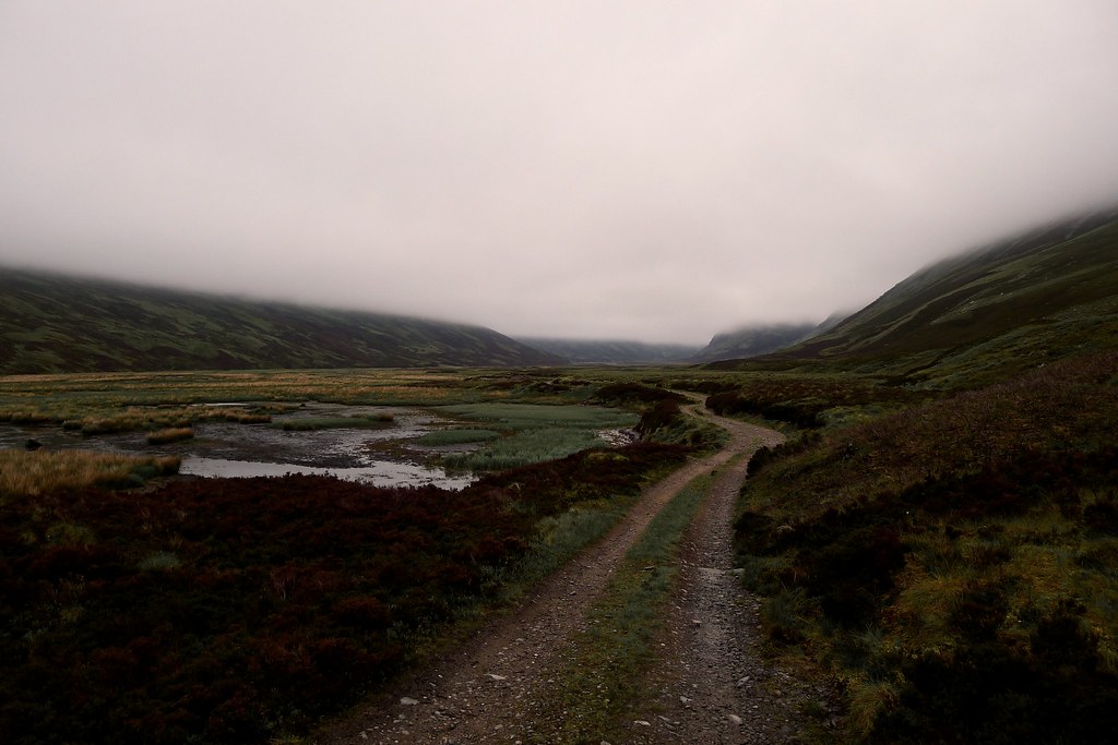
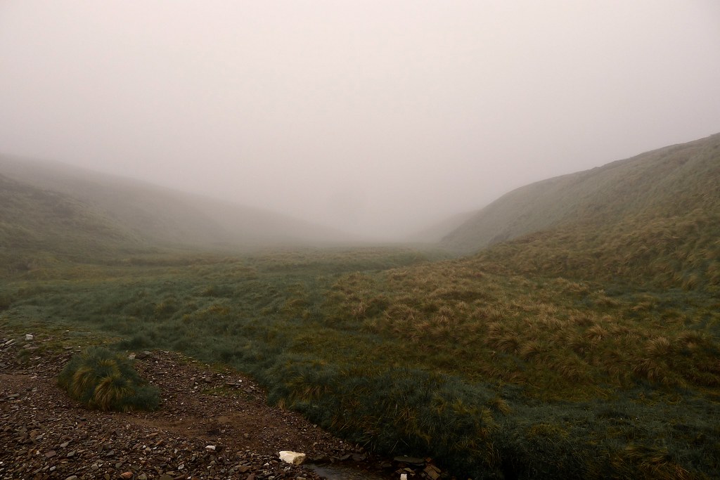
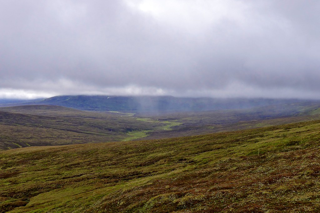
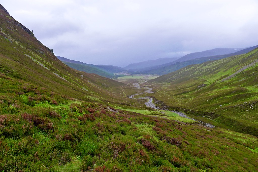
A couple of brave and hardy souls left us at this point, heading up into the low cloud to climb the Munro Beinn Dearg which sits to the east above the glen. We meanwhile continued to follow Glen Bruar as it narrowed and climbed steadily upwards. At the point where two streams merge to create the Bruar Water we met the bottom of the cloud base.
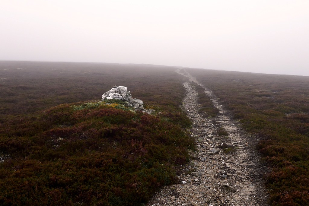
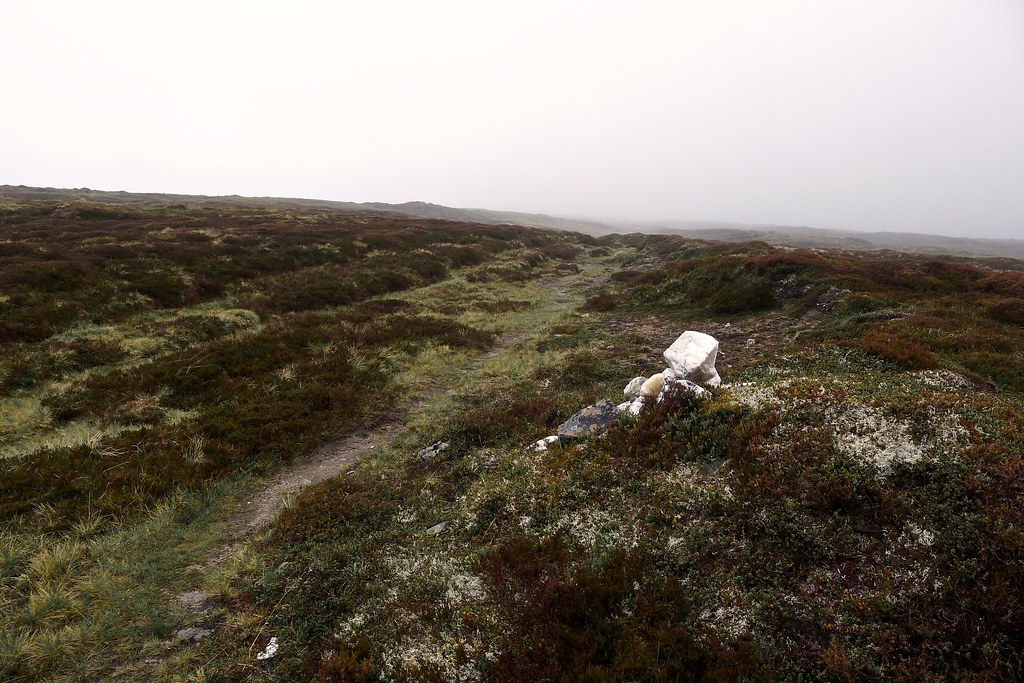
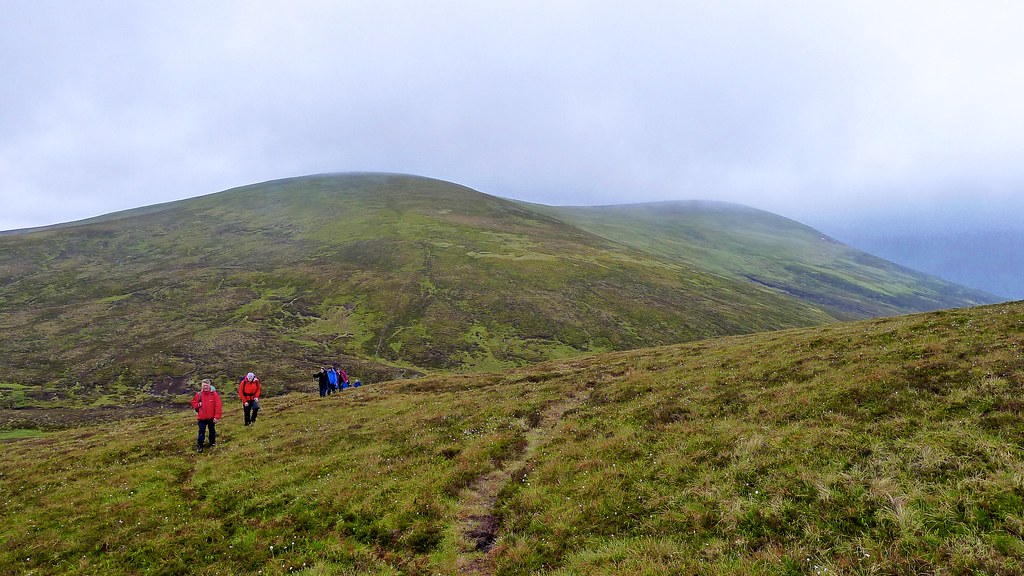
There was a stiff ascent on a clear track and then we were following the white cairns that mark the Minigaig. This high pass was an old route through the mountains that fell into disuse when the military road was constructed across the pass at Drumochter to the west.
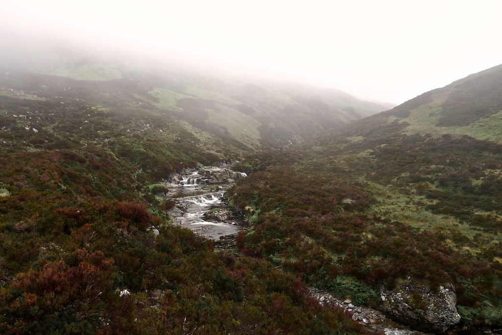
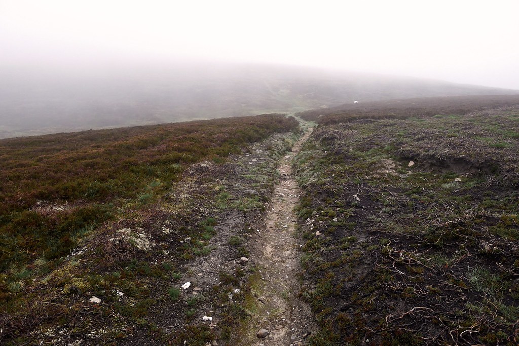
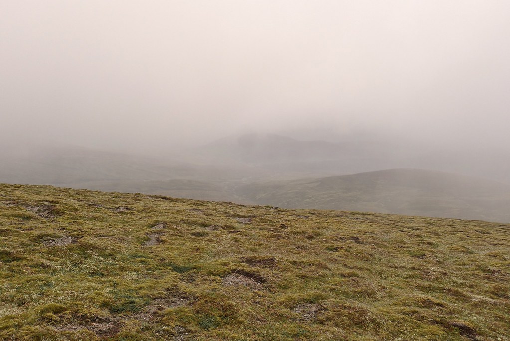
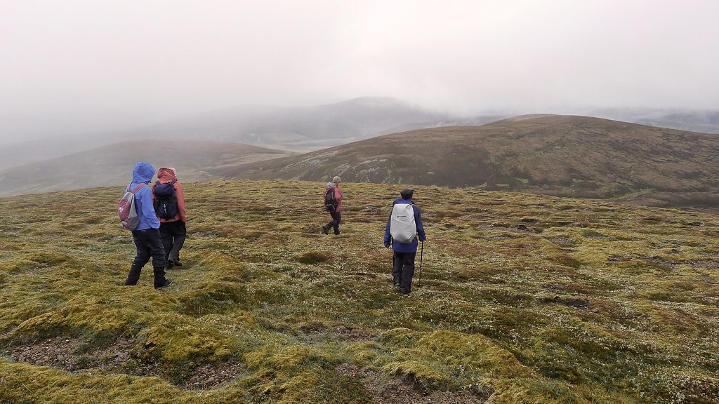
By now we were in thick mist that hid the surrounding landscape from view. It was damp but reasonably mild. After crossing Uchd a' Chlàrsair and dropping to a tributory stream we briefly lost the main track but picked our way along the main course of the Caochan Lub up to the watershed. Here in the mist we had our second breakfast.
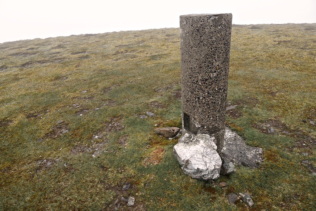
The white cairns were found again here and we followed the Minigaig up to the high point of the pass at 833m. Out of the gloom loomed the dark slopes of the Corbett Leathad an Taobhain. We followed the broad ridge up to the 902m summit and then made our way to the true summit at 912m, only a couple of metres short of Munro height.
It was a gloomy place in the mist but there was a general feeling of satisfaction at having reached this remote and unassuming summit. It was disappointing though not to get any sense of its place in these wide, rolling hills west of nowhere.
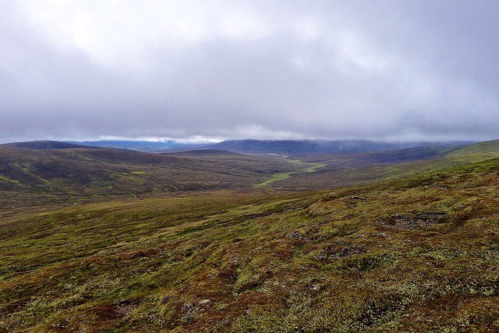
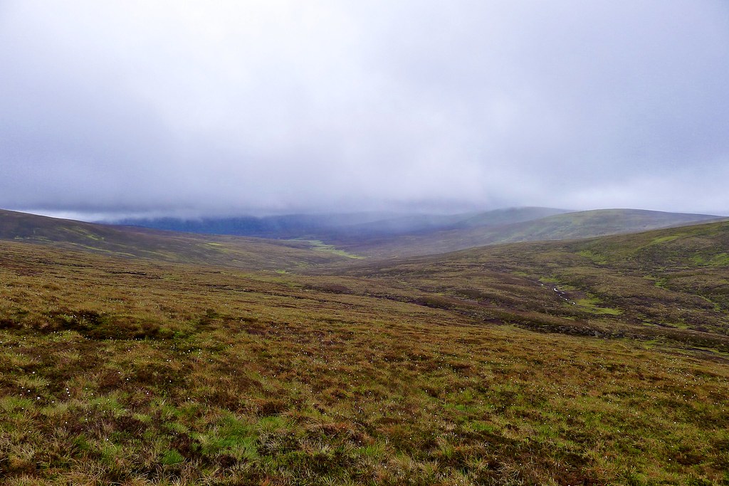
From the trig point on the summit we dropped quickly down the northern slope. As we did so the clouds seemed to thin and suddenly there were hazy views, down towards the headwaters of the Feshie and west towards Glen Tromie.
We dropped to a bealach and then ascended past the ruins of a howff up to join a vehicle track near the summit of.
A short stretch of cross country got us across to Glas-leathad Lorgaidh which was to be our last summit of the day. We stopped here for third breakfast, enjoying the sight of showers drifting down the Feshie.
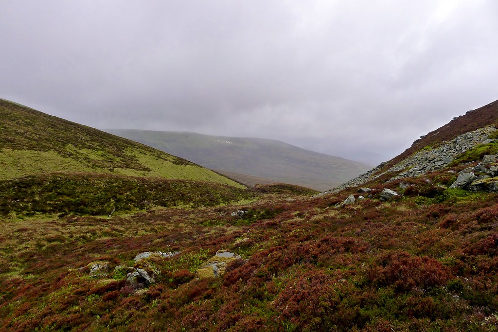
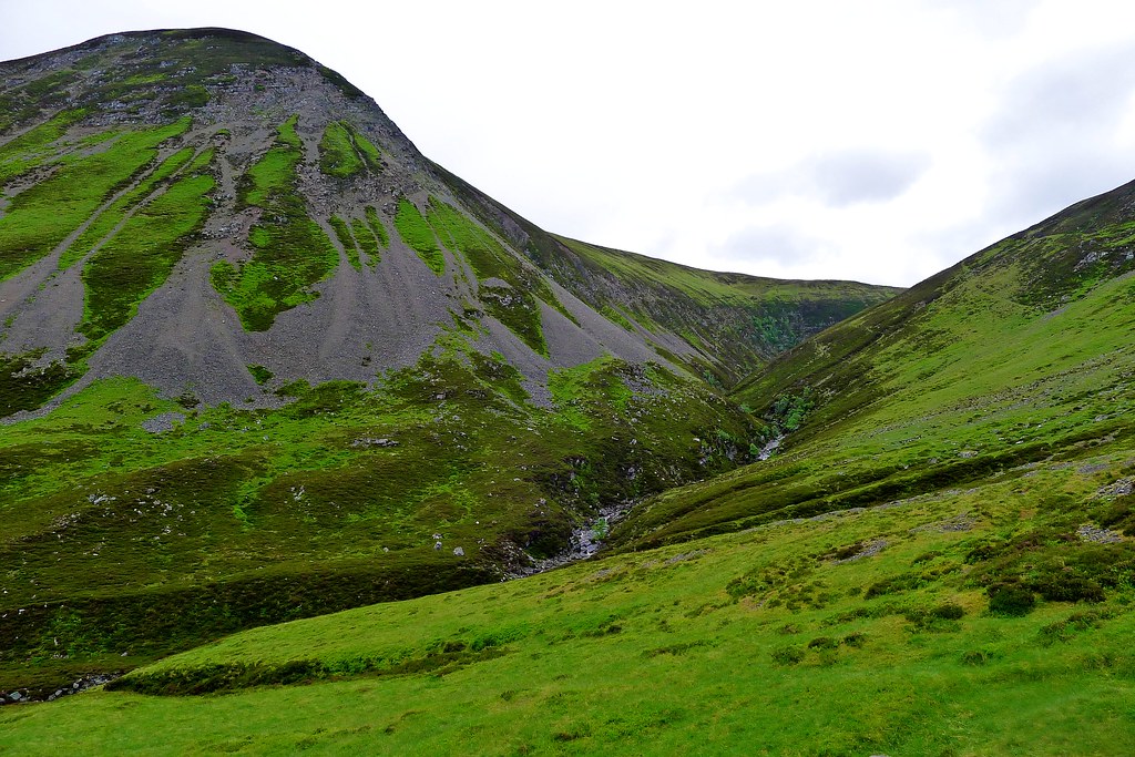
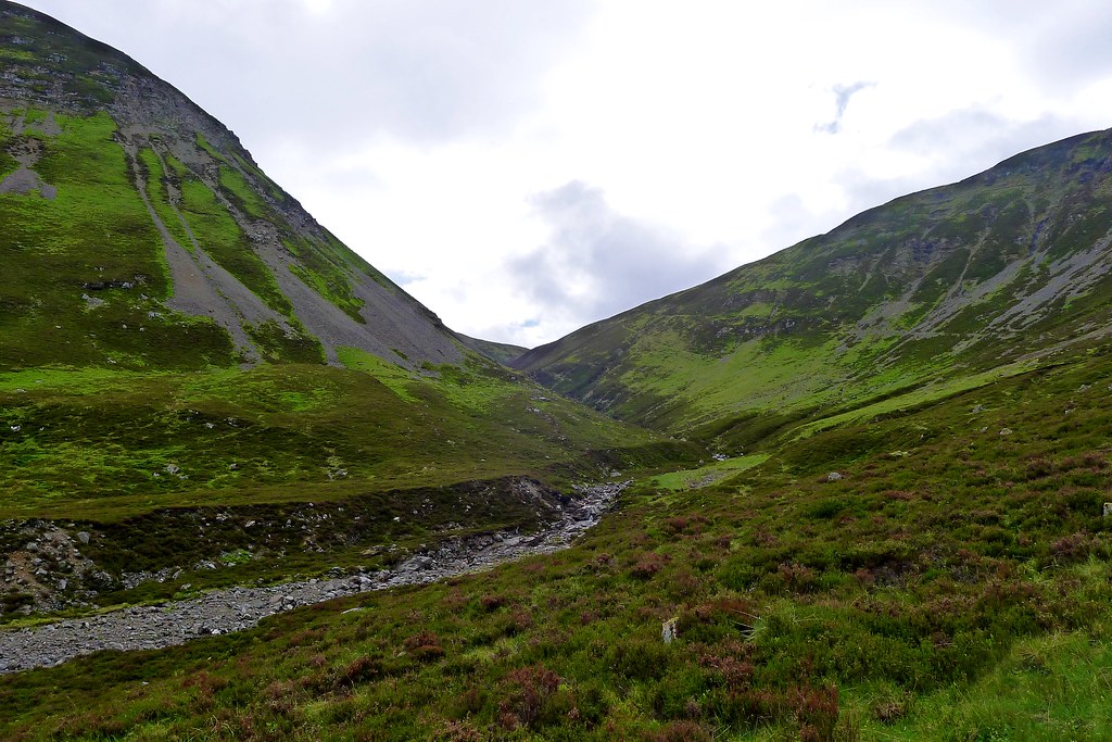
There was a rough descent off angling down towards the Allt Lorgaidh which had something of a stalker’s path running alongside it. This was followed as much as possible (the odd stretch was being rapidly lost to river erosion) until the notch of Slochd Beag appeared ahead.
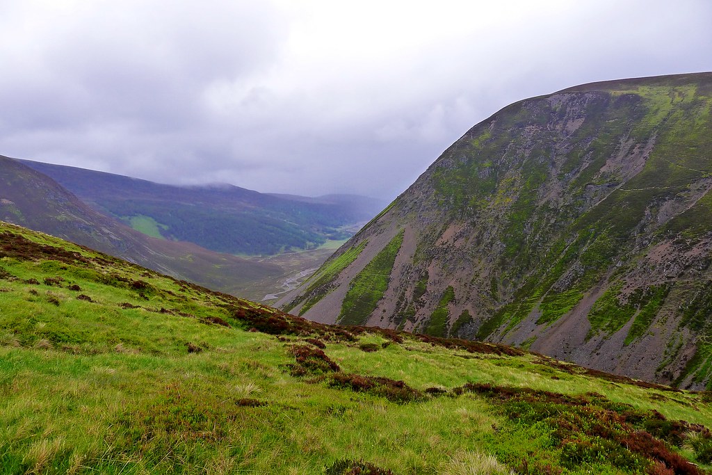
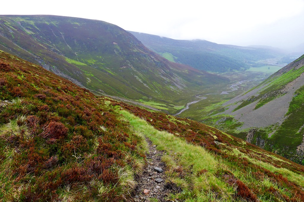
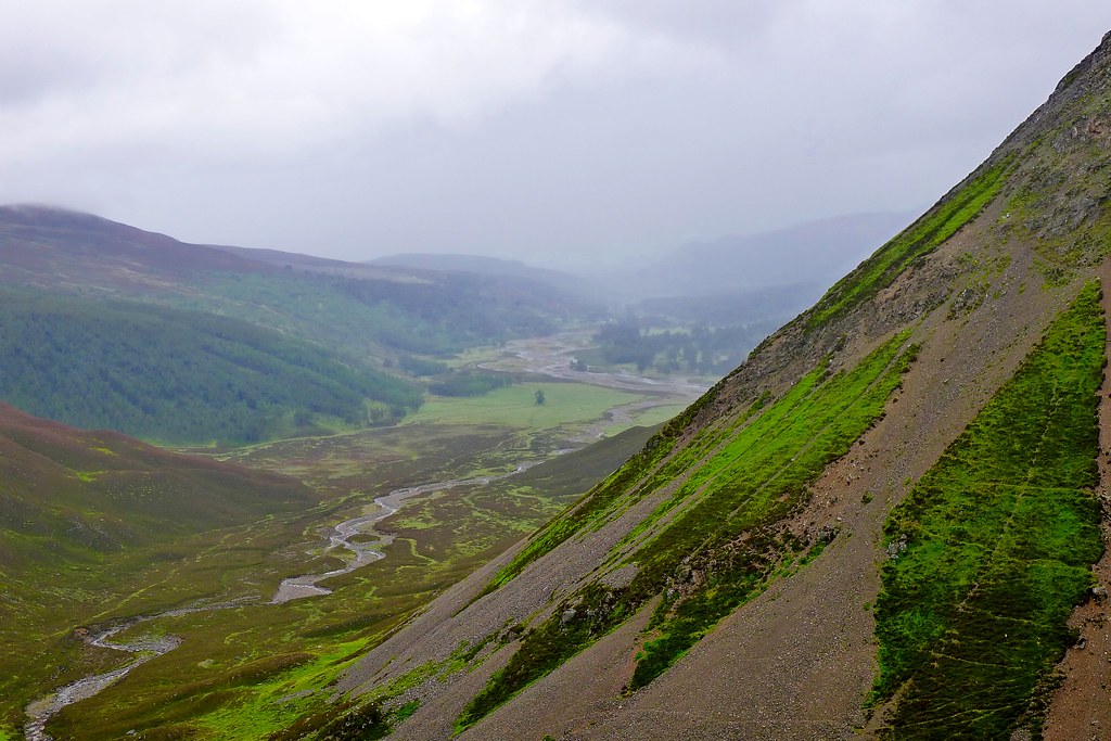
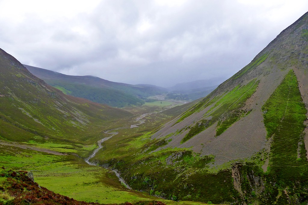
The steep path dropped us quickly down as ahead the views into Glen Feshie opened up.
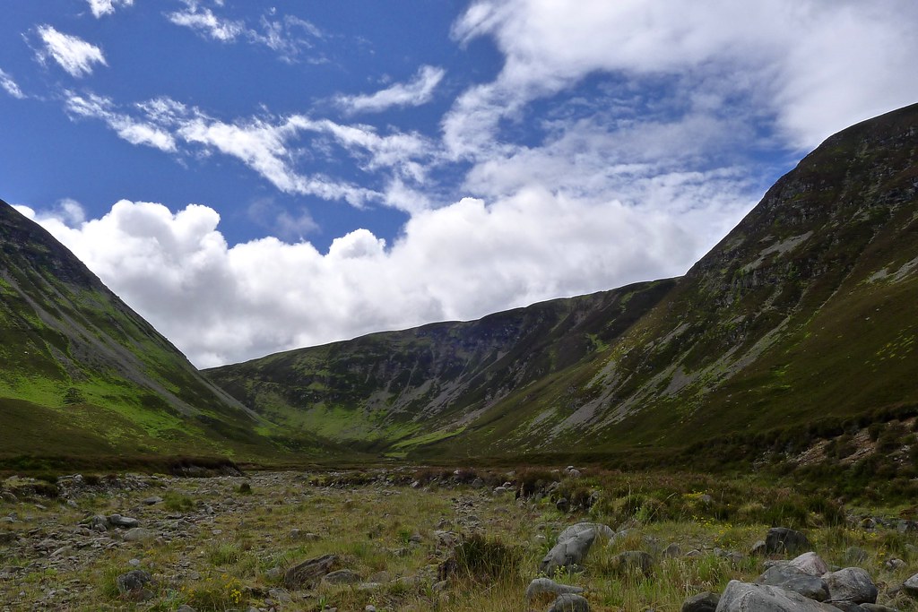
After negotiating the zig-zags which wound down through rocky slopes there was an easy stretch of path following the stream as it headed down to meet the Feshie. We stopped part way down to allow everyone to catch up, marvelling as the sun broke through from behind a cloud with blue skies apeparing over the hills.
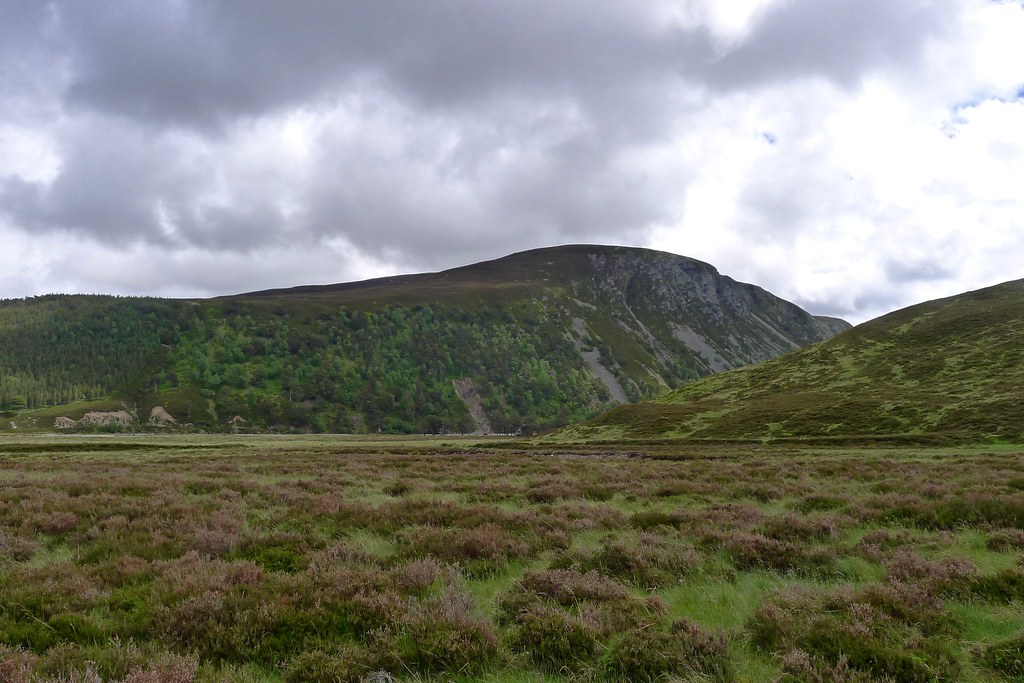
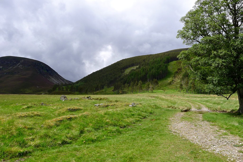
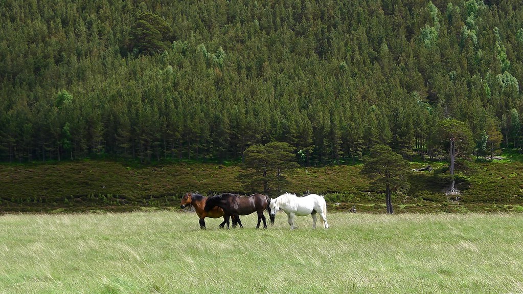
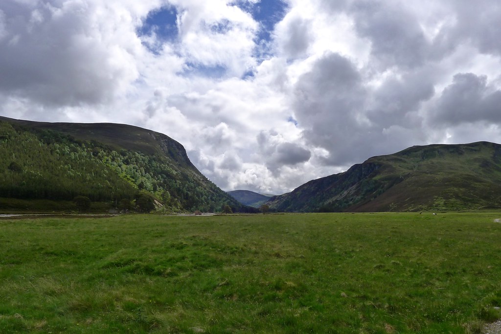
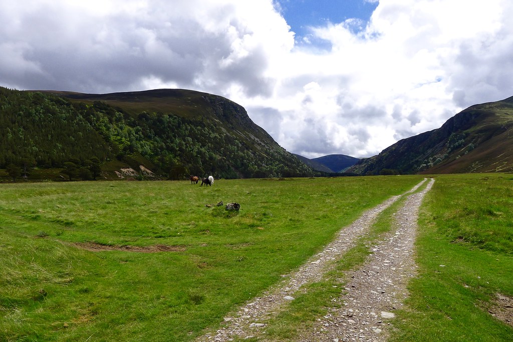
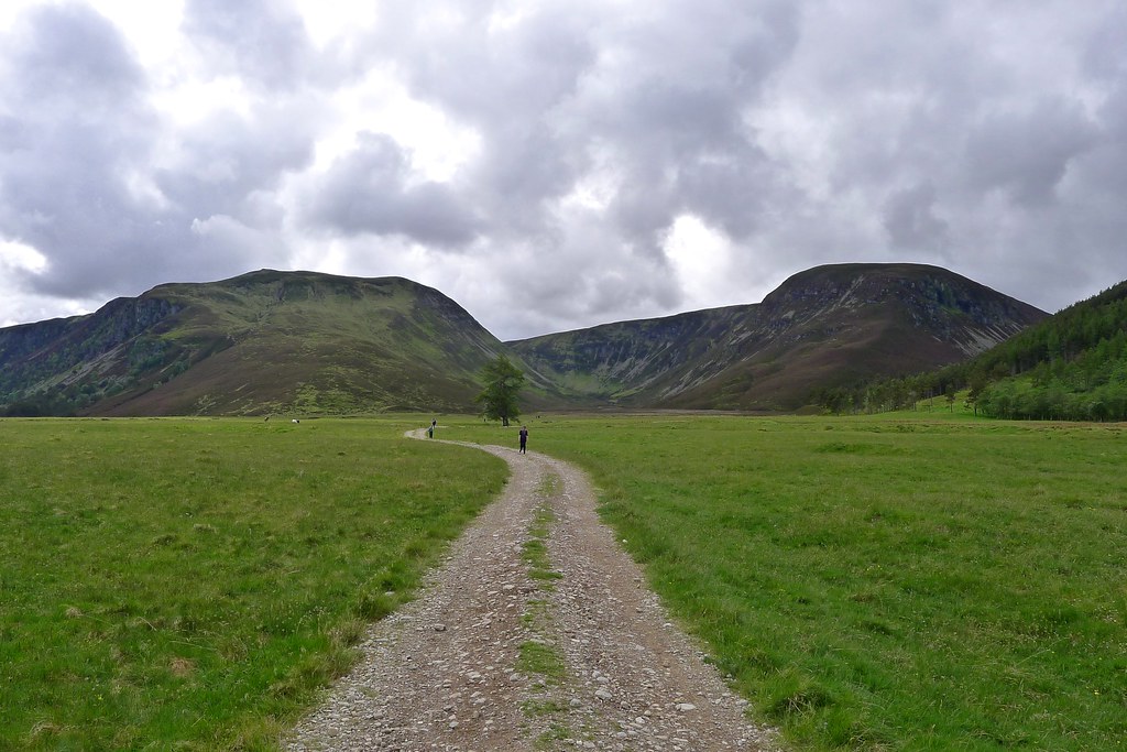
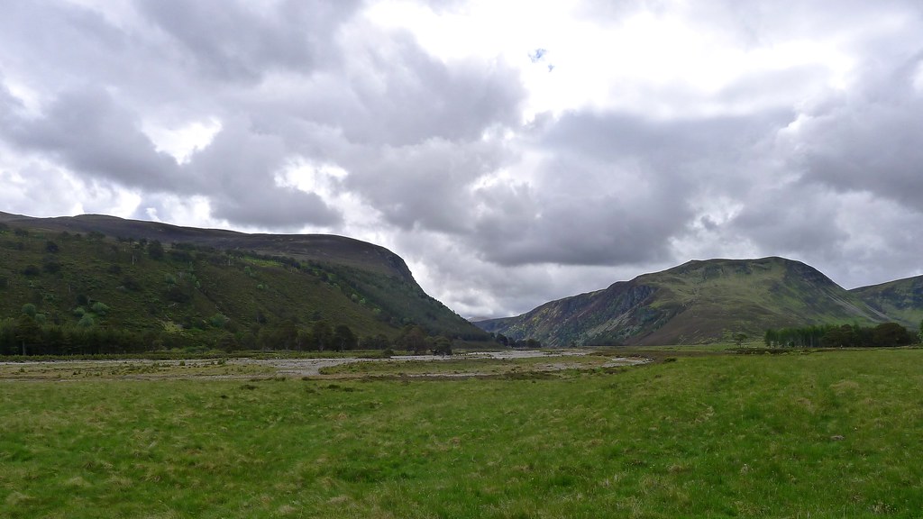
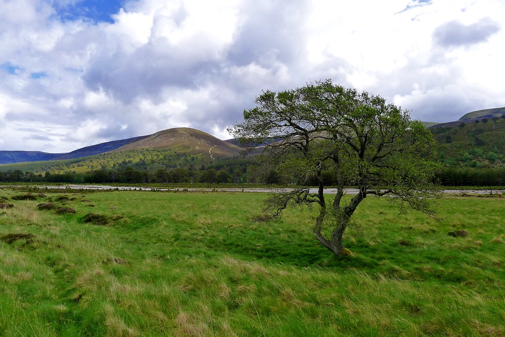
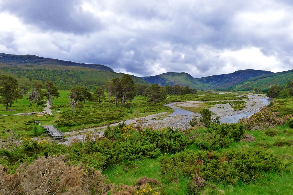
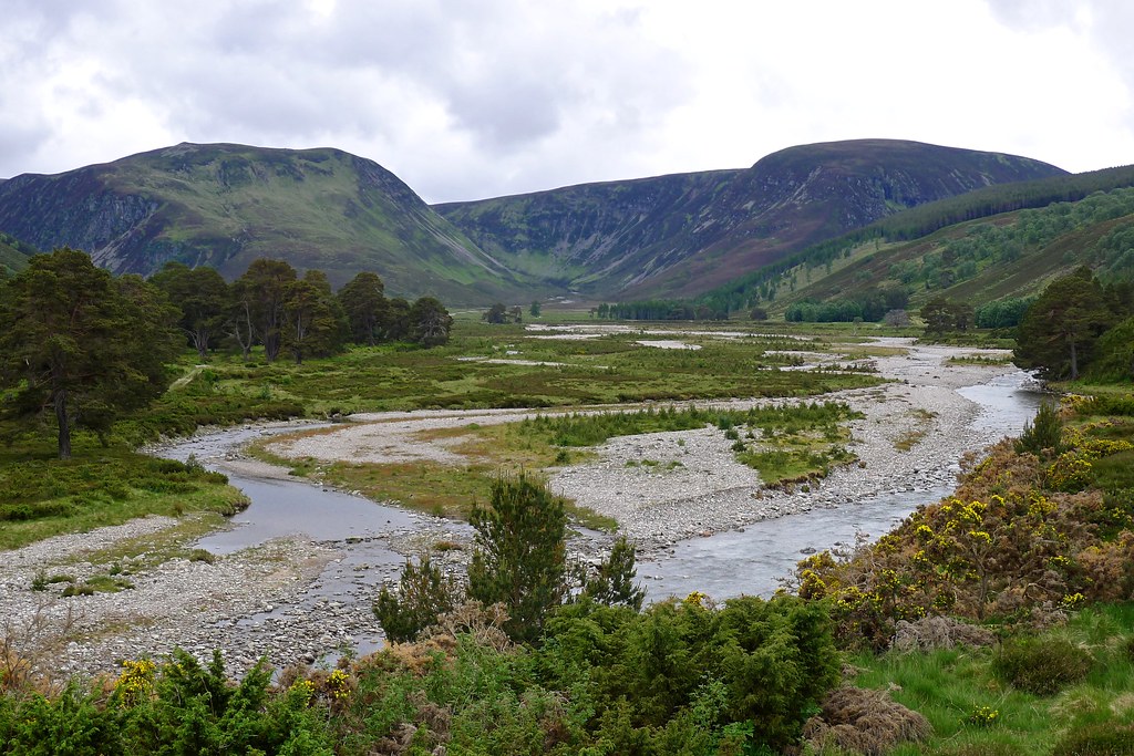
From here we joined the vehicle track in Glen Feshie, making our way through the glen and enjoying the warm sunshine. The river sparkled, the trees were green, the mountains dark above.
As we progressed the cloud built back up again and as we neared the bridge south of Achleum the rain came on again, heavier than it had been since the very early hours of the morning.
Thankfully it was only a couple more kms on a good track to Auchlean and then along to the parking area where the coach was waiting for us.
The rain continued for twenty minutes or so but we got the barbeques going and just as they were coming up to temperature the sun reappeared. Thereafter it was a celebration of burgers, beer and strawberrie for a successful crossing of the hills and the arrival of another midsummer.
