A first visit to the Lake District sees me walking the Coledale Round taking in ten Wainrights including Grisedale Pike and Grasmoor on a very hot summer's day.
Date: 12th July 2013
Distance: 26.96km
Ascent: 1,746m
Hills: Grisedale Pike, Hopegill Head, Ladyside Pike, Whiteside, Grasmoor, Whiteless Pike, Wandope, Crag Hill, Sail, Outerside, Barrow
Weather: Hot, hot, hot. Early low mist burning off to give sunshine and a general haze
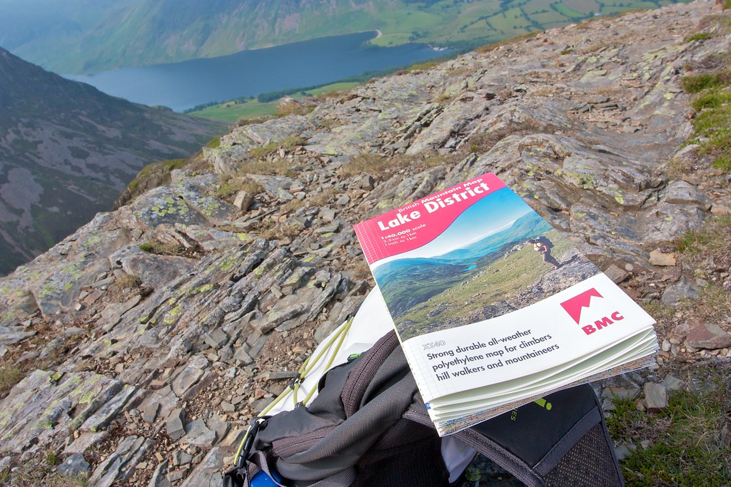
Route: View on OS Maps
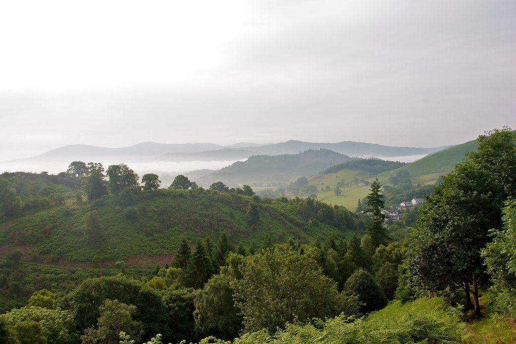
Three or four times a year I drive down to Yorkshire to visit my parents. This usually involves driving down via Perth, Stirling, Glasgow and then down the M74 to the M6 where I turn left at Penrith to take the A66 across the Pennines and so to home. I’ve always thought it would be easy enough to turn right instead and head into the Lake District and this weekend I finally arranged to do so. I drove down straight from work on Thursday evening and spent a warm night near Carlisle. The next morning I made an early start and by 7:30am was driving past Keswick then through the village of Braithwaite to park up besides the Coledale Inn (parking spot helpfully recommended by Alex Atkinson). It was a beautiful morning, a faint mist hanging in the valleys with the fells rising above looking green and lush.
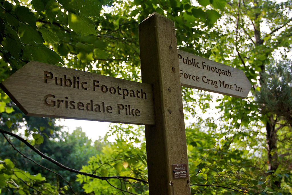
I was soon on my way, crossing the Coledale Beck and then following a series of footpaths gradually up hill. I had a brief scramble up a muddy bank and then crossed the Whinlatter Pass road to reach the start of the track up to Grisedale Pike, the first hill on a round of fells known as the Coledale Horseshoe. This route was recommended to me by David Williams and turned out to be a perfect introduction to the Lakes.

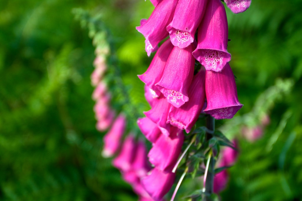
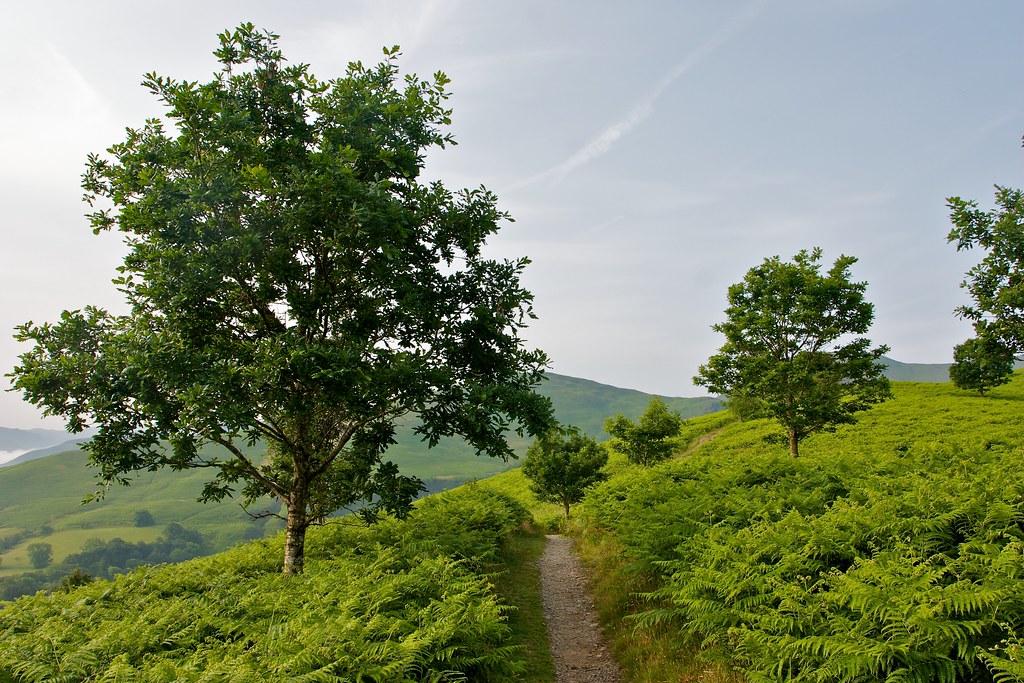
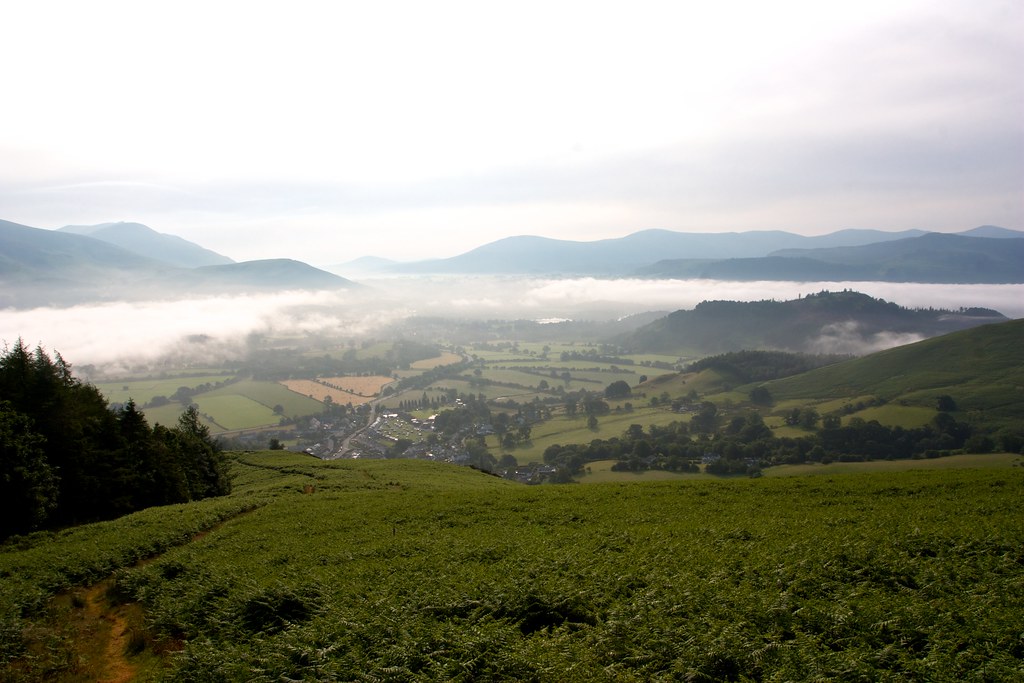
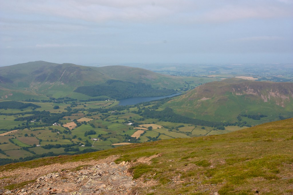
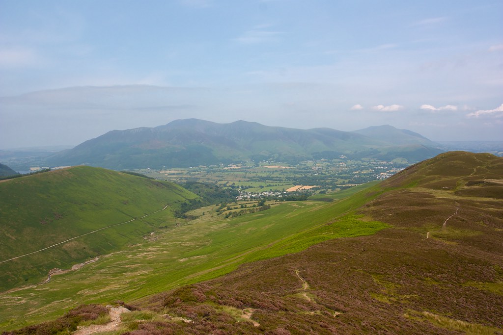
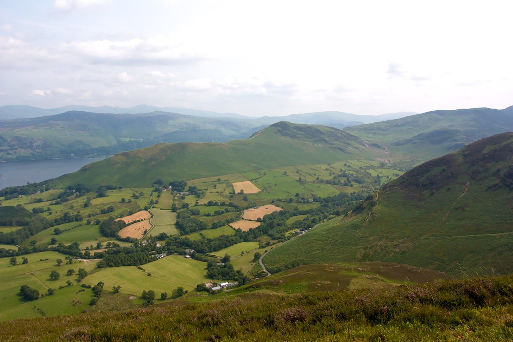
It was hot and humid as I ascended up through beautiful woodland, foxgloves providing patches of colour in amongst the green of the ferns. As I gained height the views out over the misty valley containing Braithwaite and Keswick were revealed, the mist slowly clearing away as the sun rose. Across the Bassenthwaite Vale the dark mass of Skiddaw loomed, its distinctive peaks silhouetted against the brightening sky. I emerged from the woods and followed the path as it led around the edge of a forestry plantation.
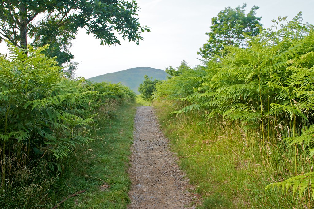
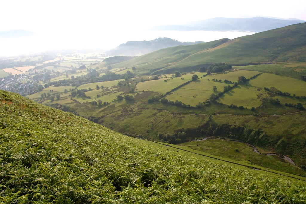
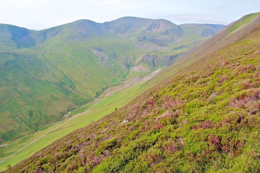
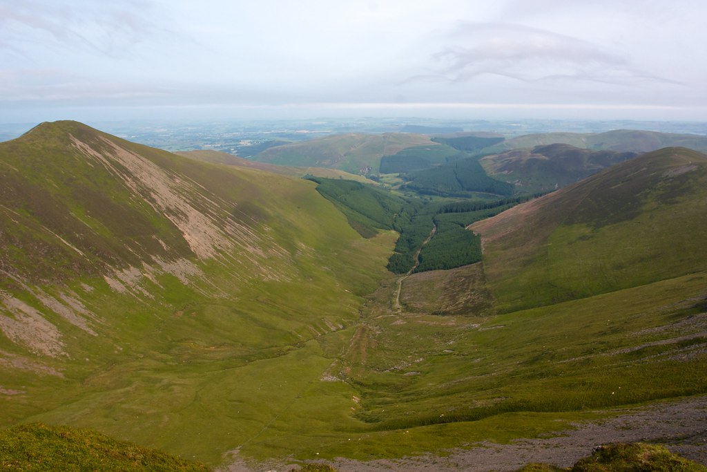
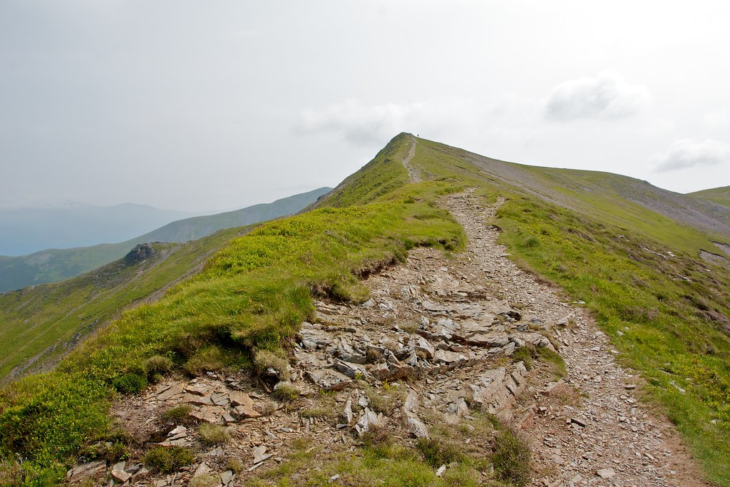
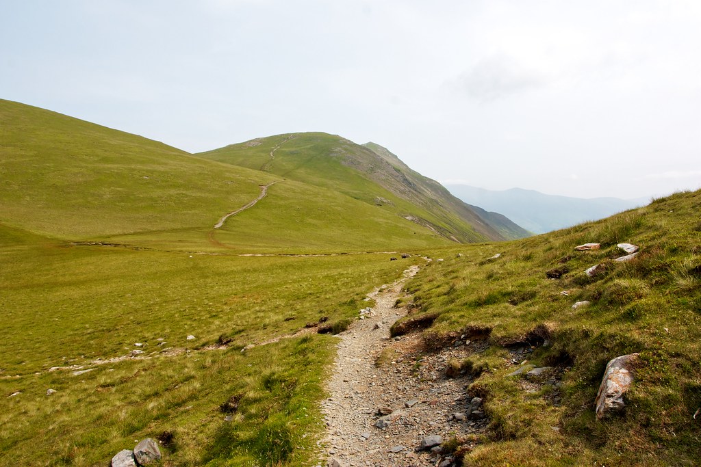
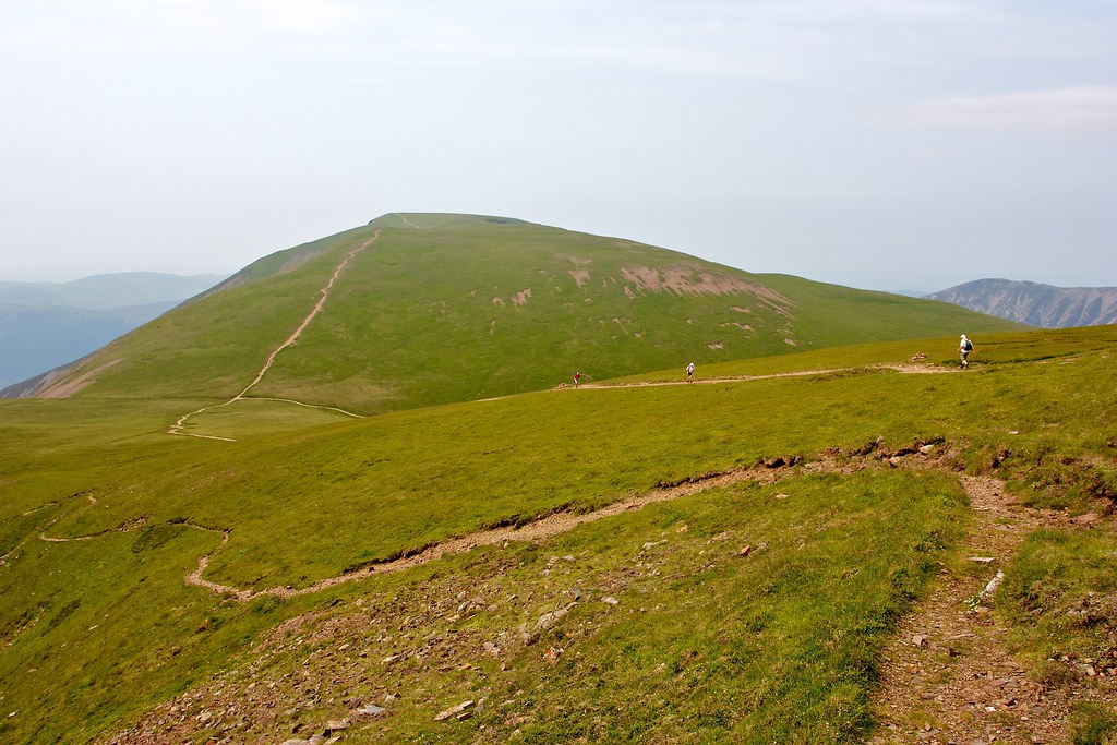
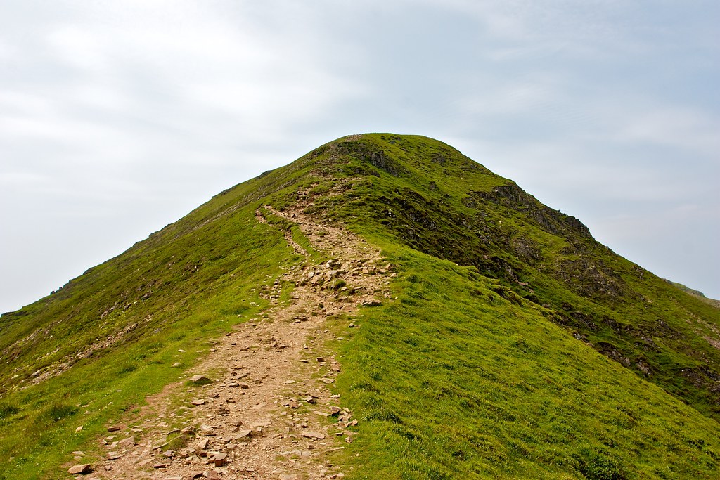
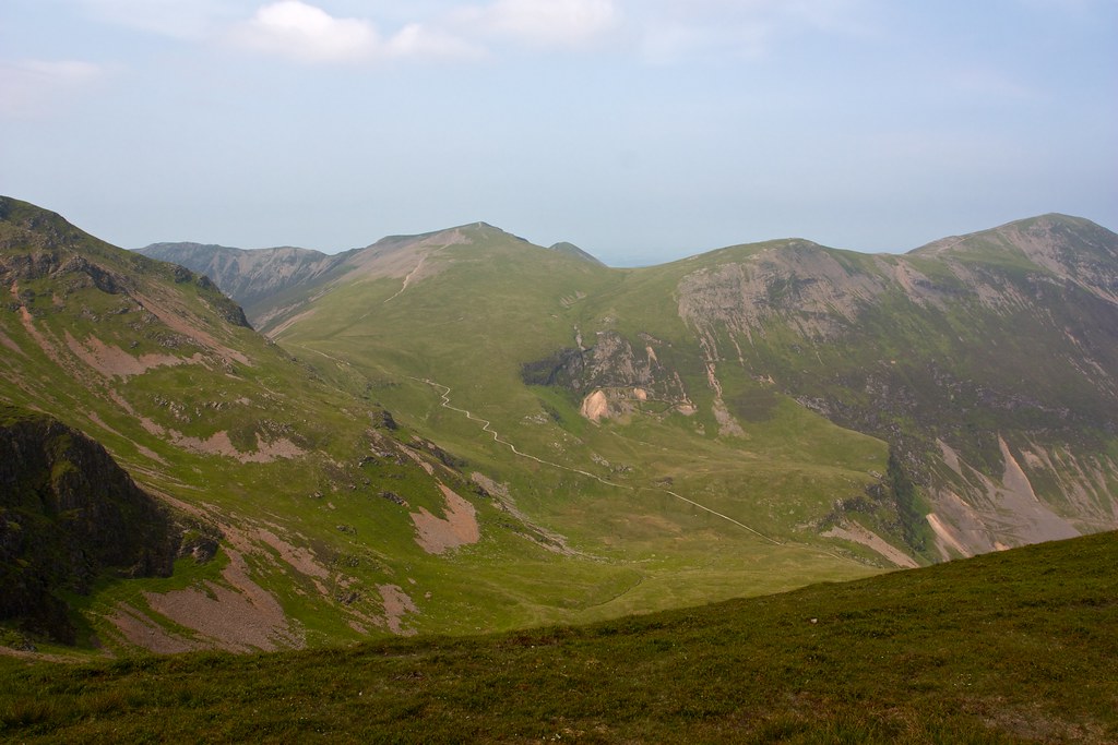
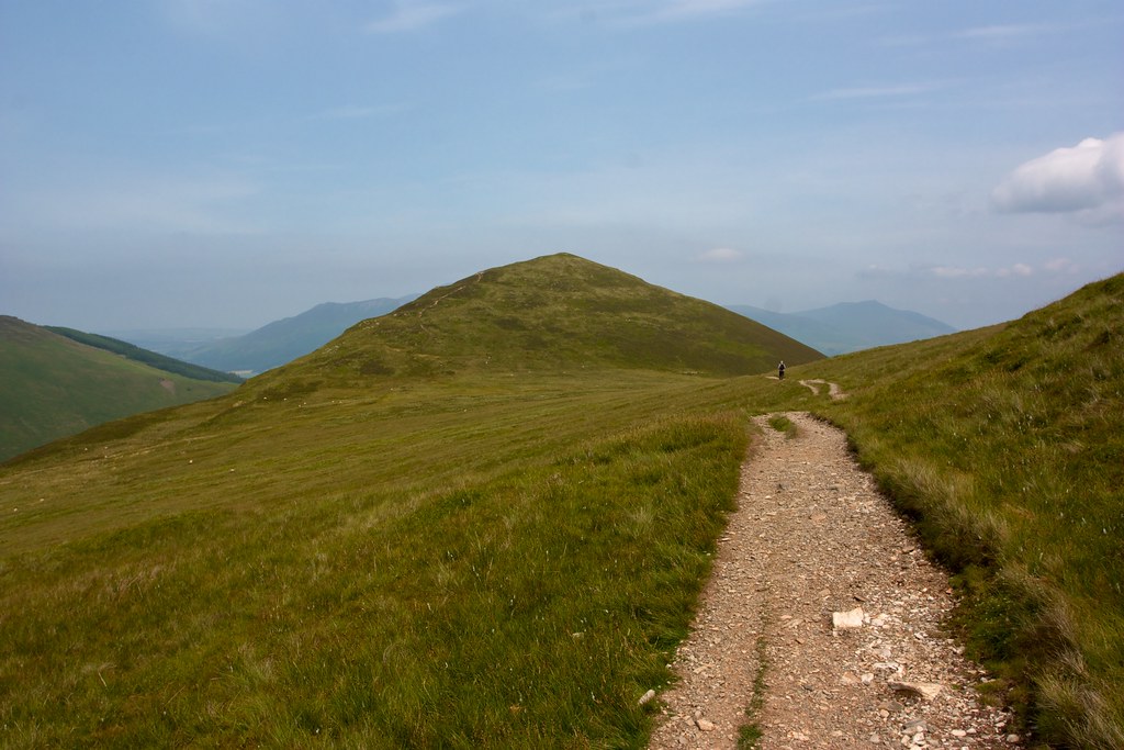
It was hot and sweaty with barely a breath of wind but I had the hill to myself and revelled in the views as they began to open out west up Coledale towards Force Crag and the impressive flanks of Eel Crag. Ahead and to the right the slender peak of Grisedale Pike came into view, a clear track leading up to its summit.
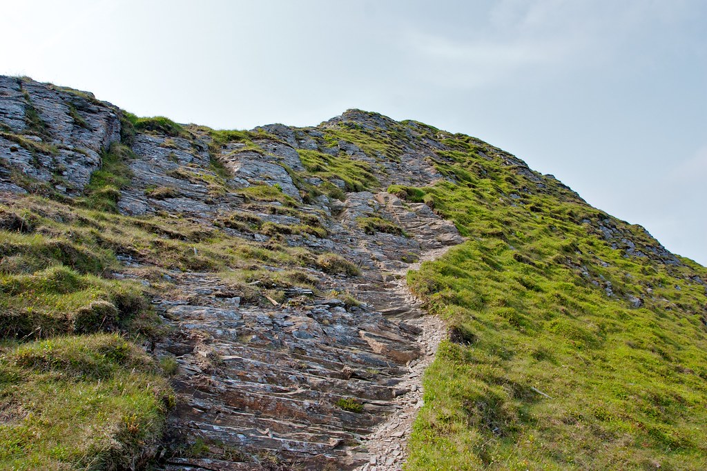
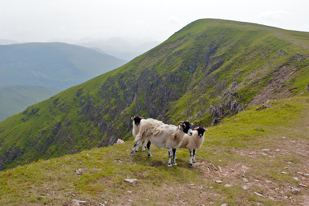
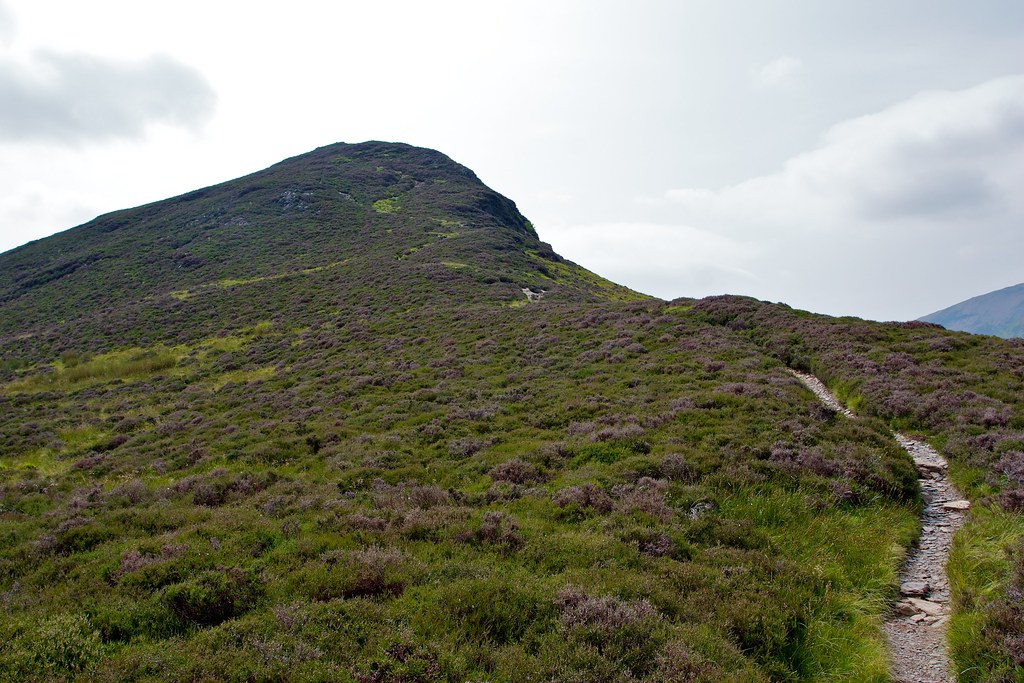
This I followed along a series of delightful ridges that swung out high above the winding beck. Wild flowers and sheep punctuated the grasses and the occasional rocky step of shattered slate livened up the ascent. I stopped for a quick chat with a chap who was already descending and then after admiring the drop down into Grisedale Beck valley followed the easy rocky ascent up to the summit of Grisedale Pike, my first ever Wainwright!
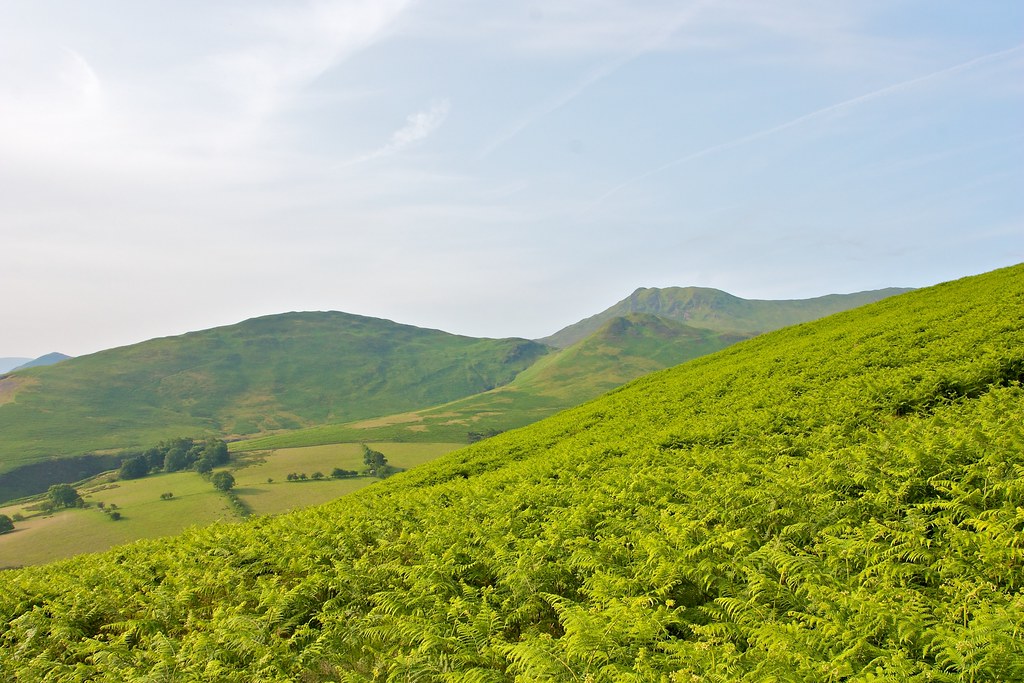
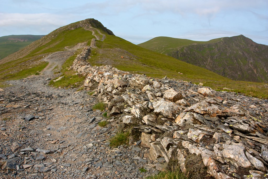
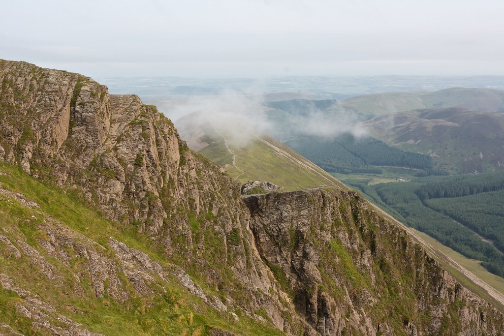
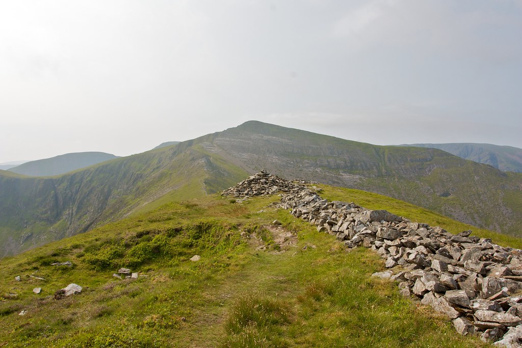
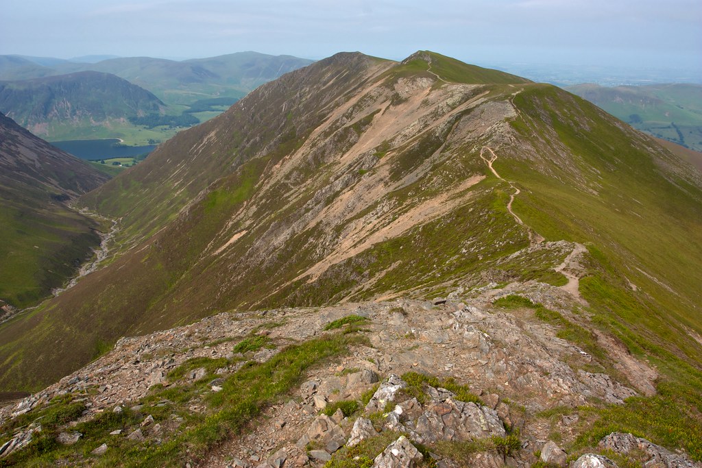
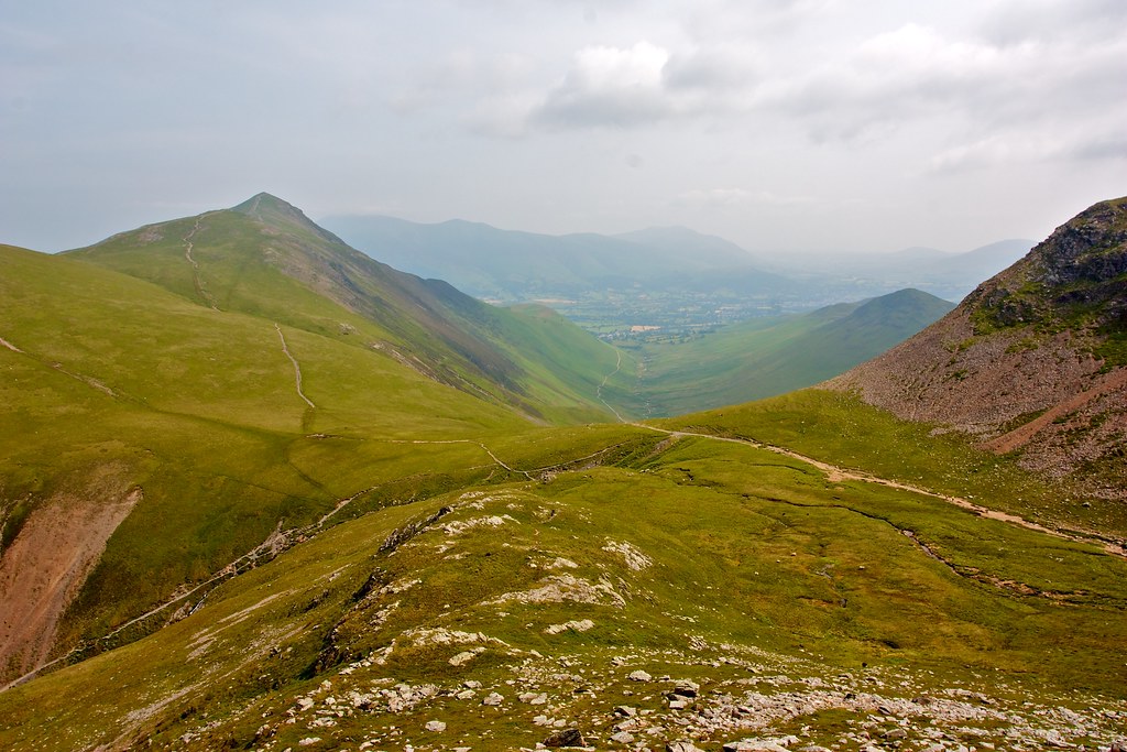
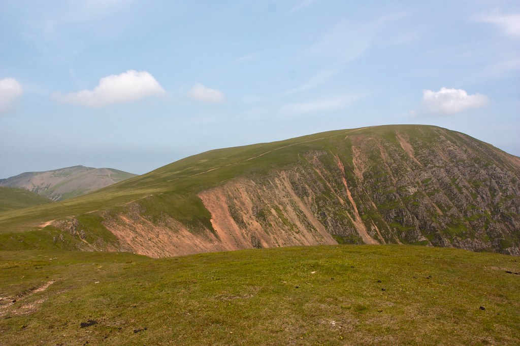
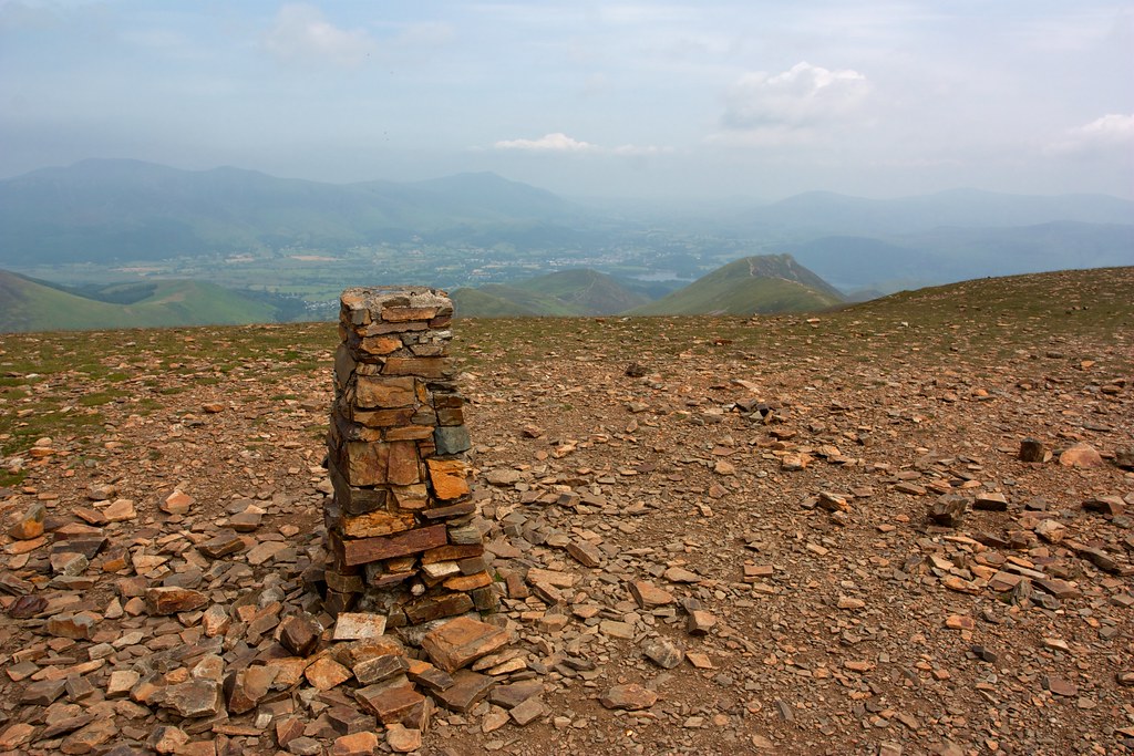
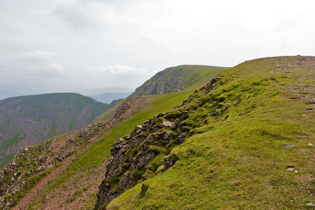
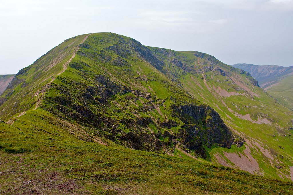
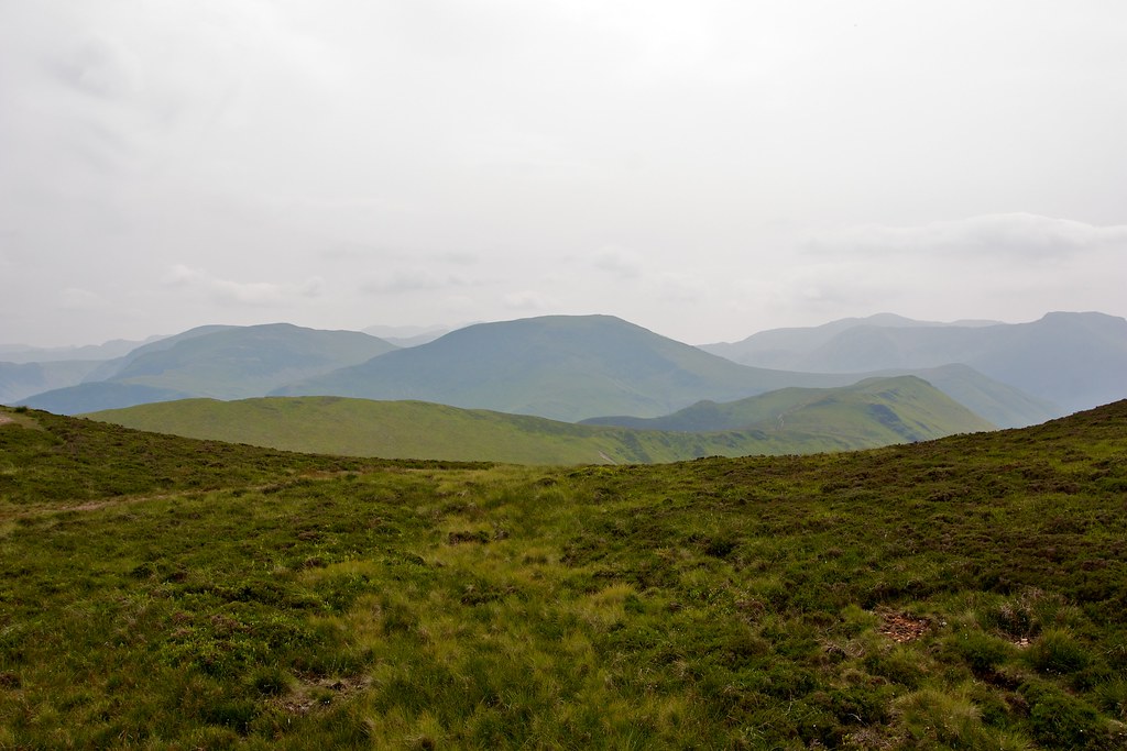
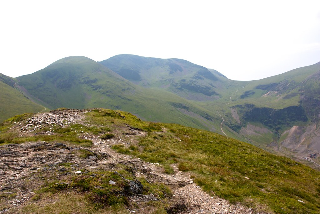
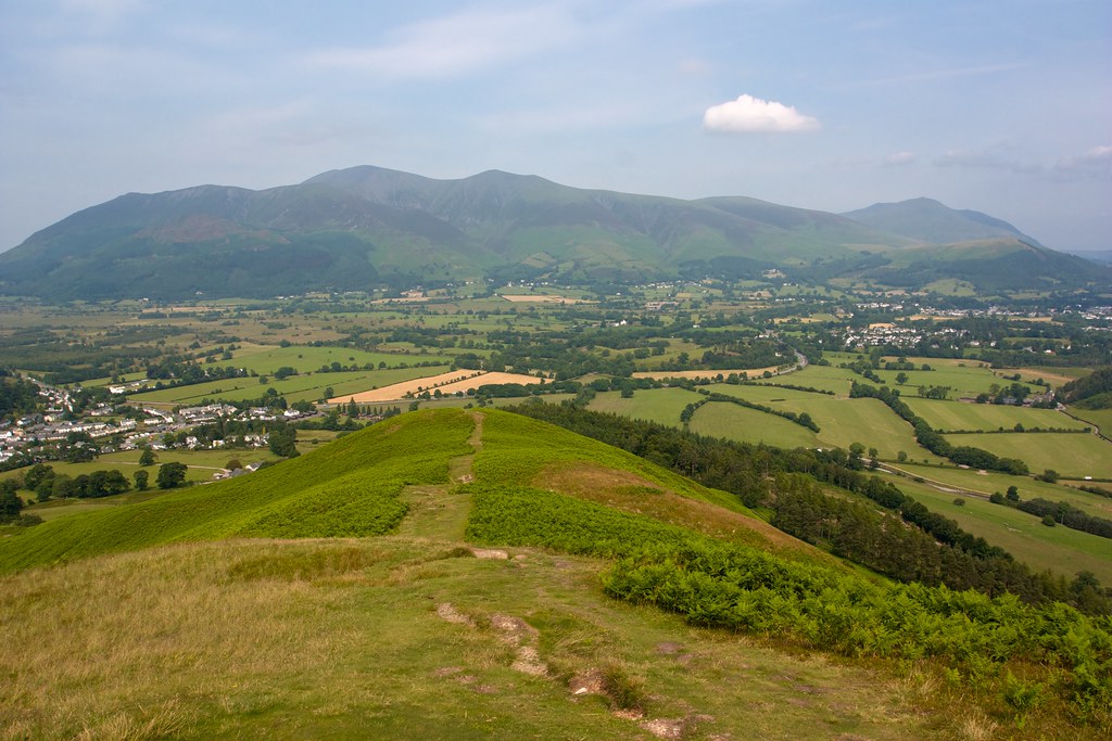
At 791m this is a commanding summit and the views back down towards Keswick where the mist was by now almost broken were stunning. Ahead the Coledale ring of peaks looked very inviting though it was clear that I would be on paths all day as their clear scars ran up and down and every which way. Another ridge led me on towards Hopegill Head, a broken wall shadowing the path on my right.
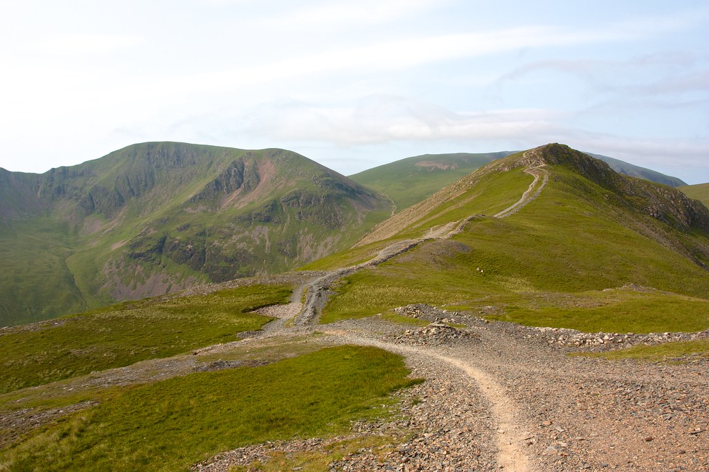
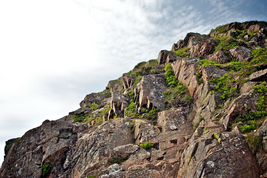
I crossed a minor top and then followed the gently rising path which enjoyed commanding views of the crags lining the upper wall of Hopegill Beck valley up onto the rocky summit of Hopegill Head itself.
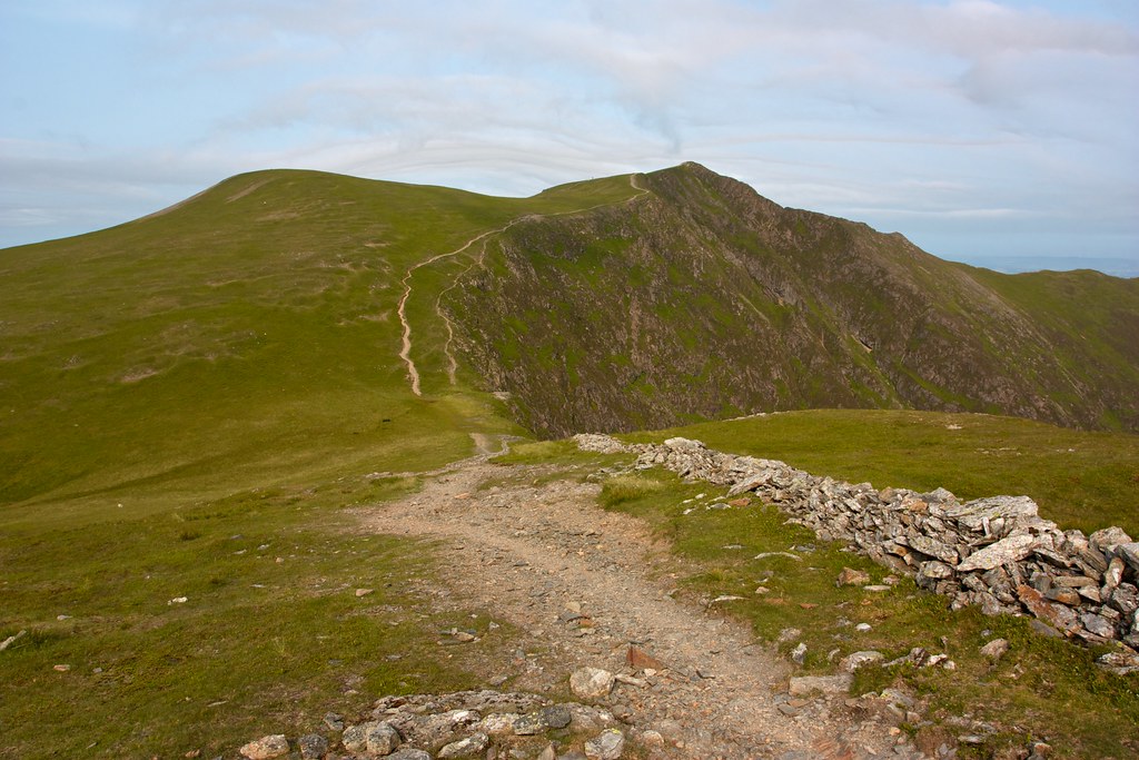
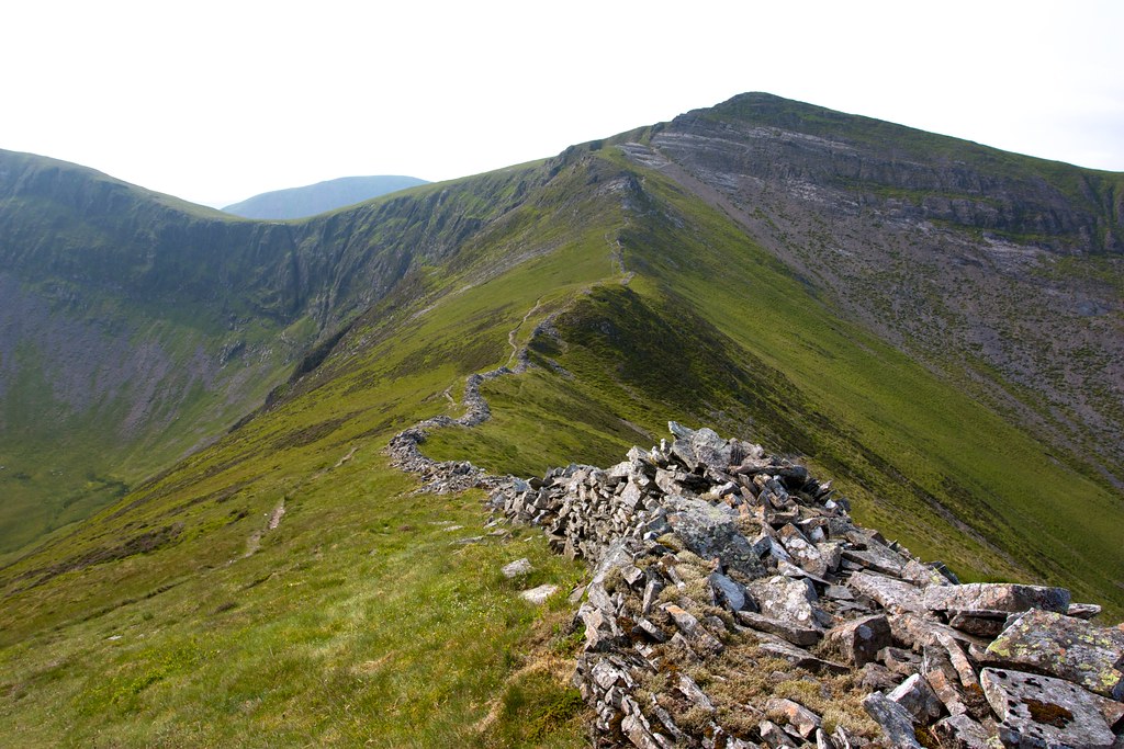
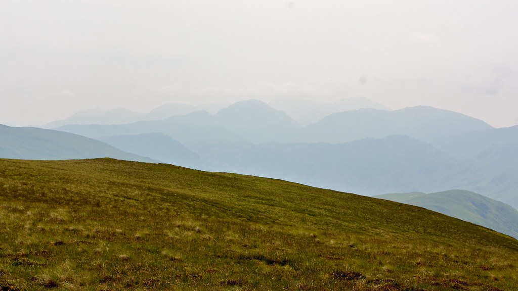
This is a classic mountain with slender ridges running off to the west and north. Away to the east grassy slopes dropped down to Coledale Hause, the pass at the top of the valley of Coledale. There was a little cloud floating around the highest summits, occasionally wrapping itself across a ridgeline, but the heat of the day was burning it off fast, the clouds rising into the general haze above.
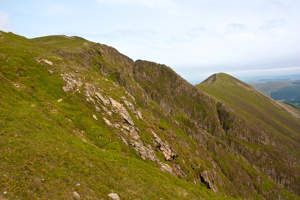
From Hopegill Head I did a couple of out-and-backs to check out the outlying peaks at the end of each slender ridge. The first, Ladyside Pike was reached by dropping down the rocky north ridge where a sheep trod cut through the bare rock on this dramatic side of the hill. The jumbled slates provided easy footing though and soon I was on the track which dropped and then rose up to the large cairn on Ladyside Pike.
The hazy views out towards the coast were great though it would have been nice to have caught sight of the Irish Sea and the Solway Firth. I returned to Hopegill Head, this time scrambling up and over a knuckle on the slender ridge and then climbed up the sheep trod back to the summit.

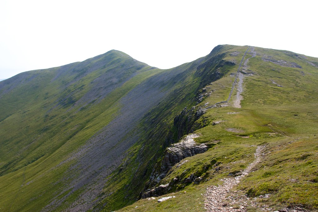
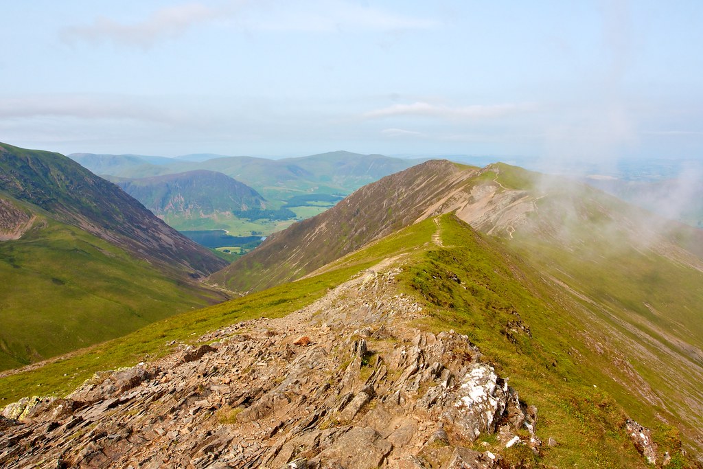
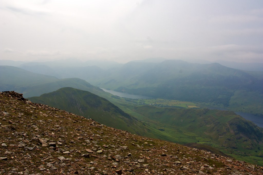
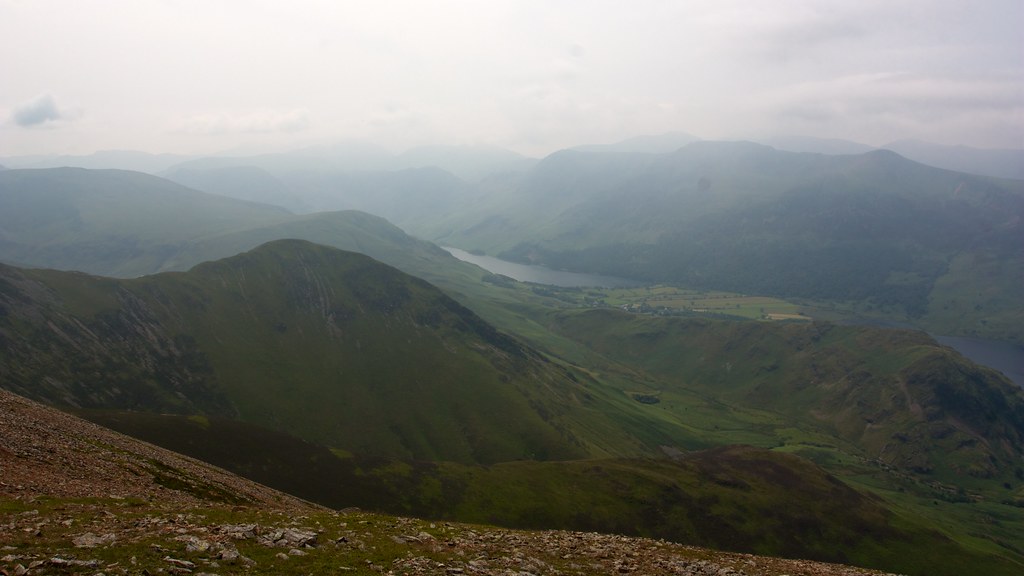
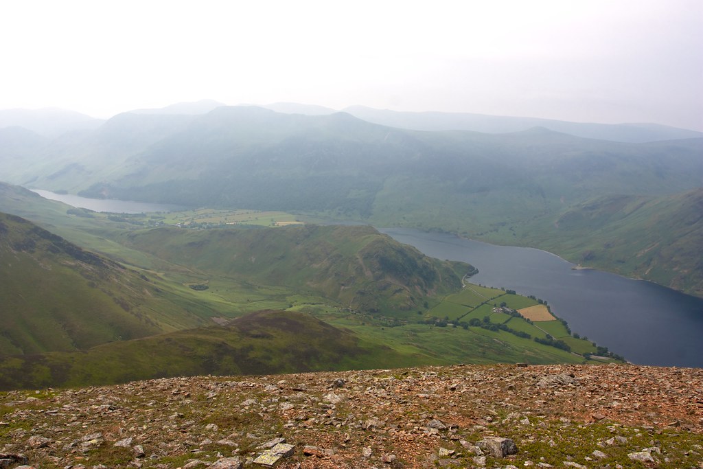
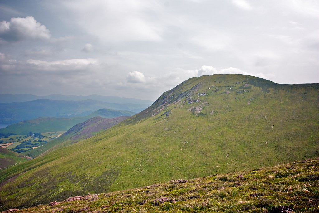
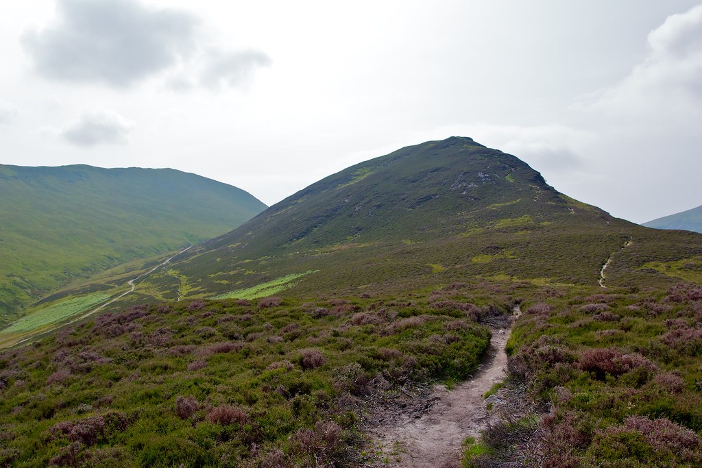
I then turned west, following the winding and undulating ridge out to Whiteside with views across Crummock Water to the western fells and south to the pink slopes of Grasmoor.
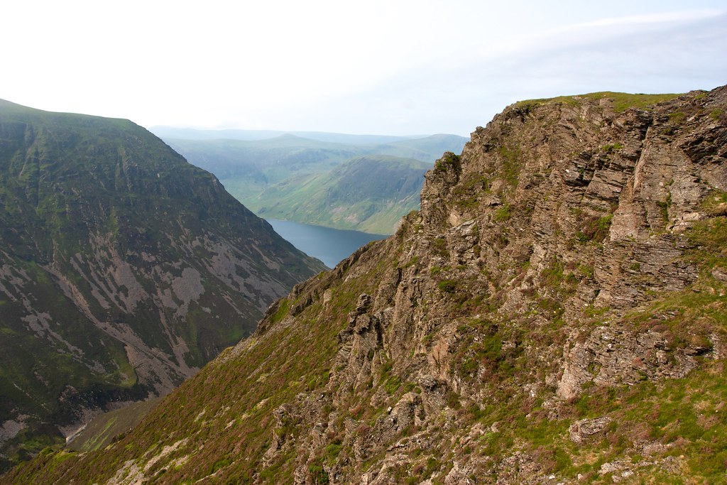
On Whiteside Edge I paused for a snack and a drink, looking down the steep slopes to Curmmock Water and further off to Loweswater. The morning was still and warm and on the surrounding hills I could see tiny figures making their way to and from summits.
After a break I returned along the ridge, scrambling along the crest where the opportunity presented itself until I was back, once again, on Hopegill Head.
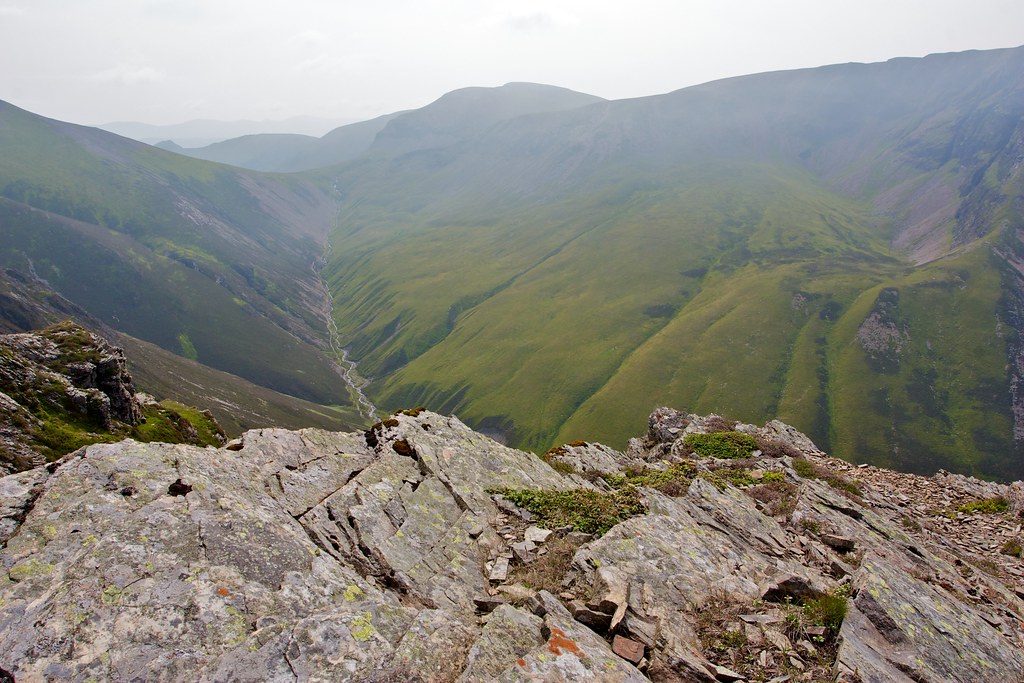
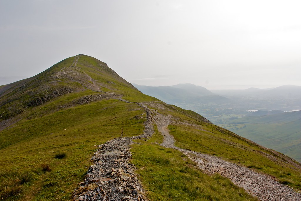
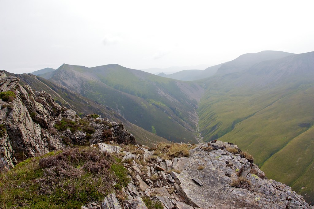
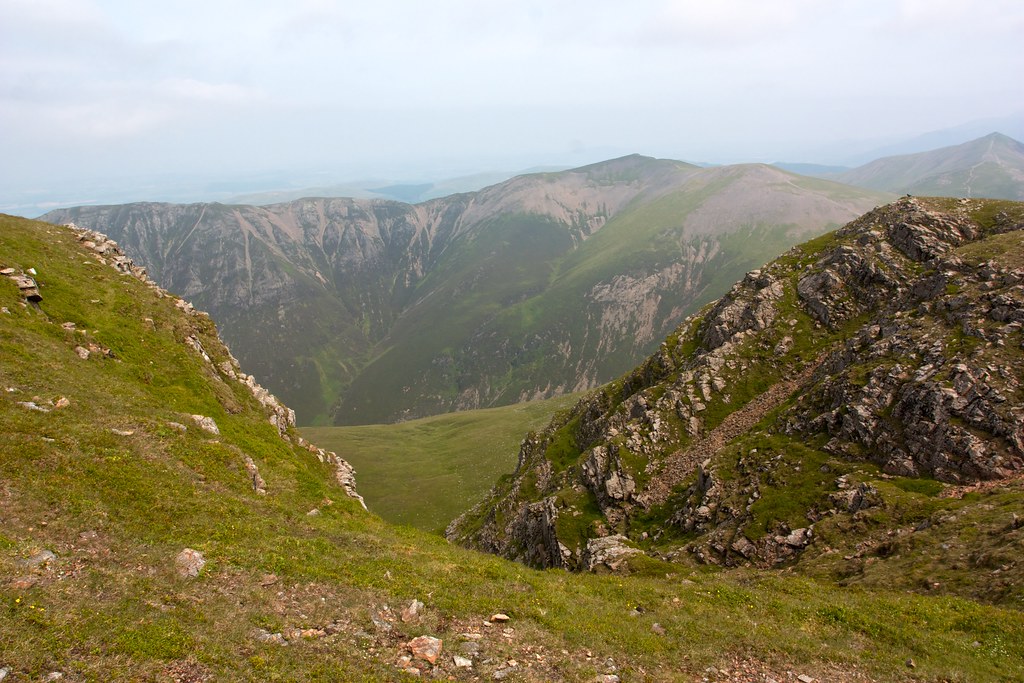
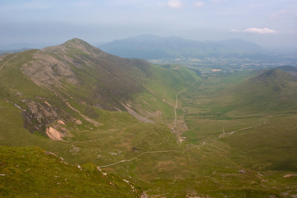
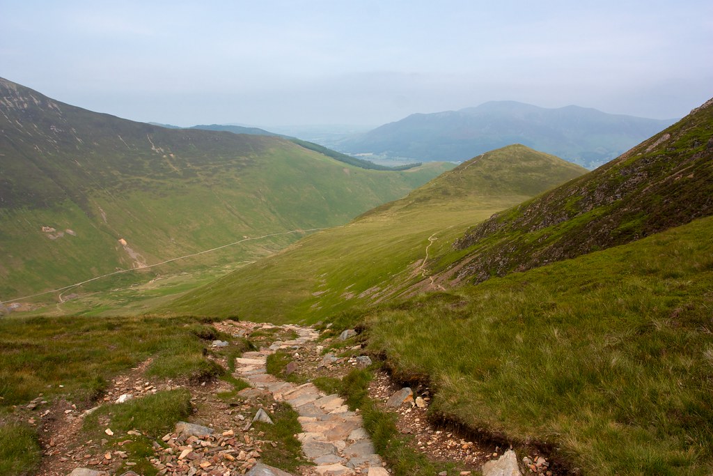
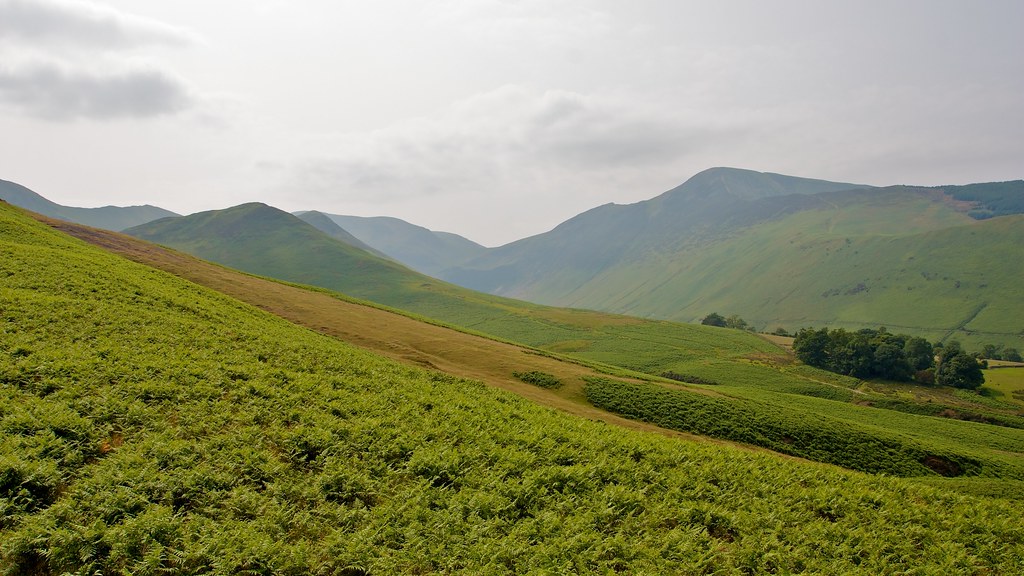
After a brief pause I followed the path to the featureless summit of Sand Hill and then dropped down a steep and eroded track through some scree to reach Coledale Hause. Here a number of tracks converged and I took the one heading south, climbing up besides the upper Gasgale Gill where I paused to refill my water bottles.
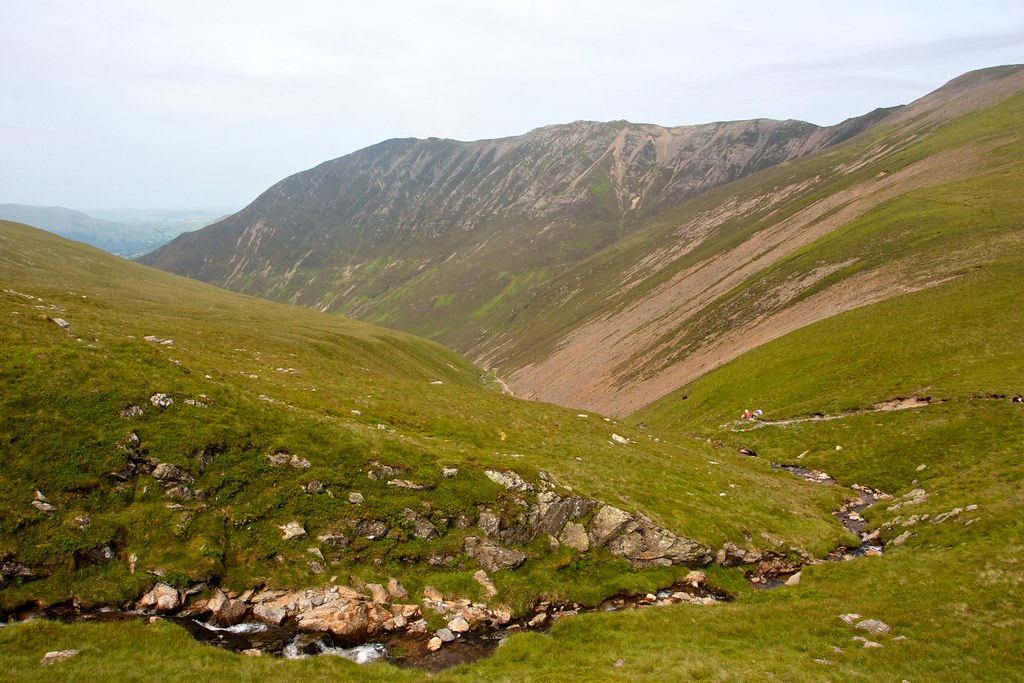
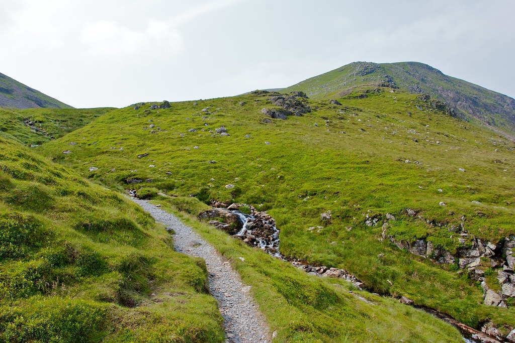
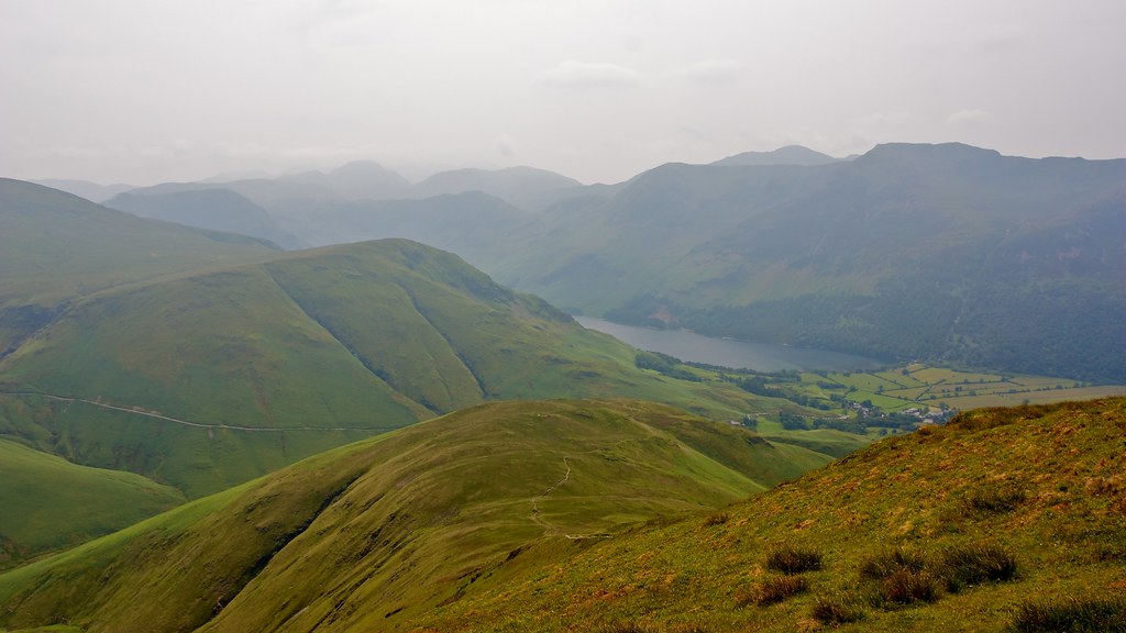
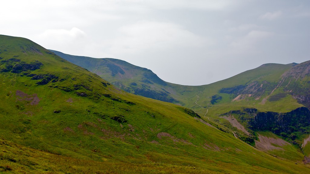
The path led me into a nice upper valley where sheep grazed and the beck narrowed. I crossed it and picked up a faint track that led me up the southwestern shoulder of Grasmoor. The track became clearer as I ascended and I enjoyed winding my way around the upper crags with views down into the Gill and back across to Whiteside.
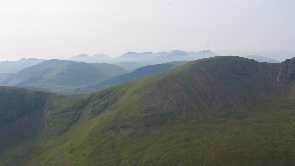
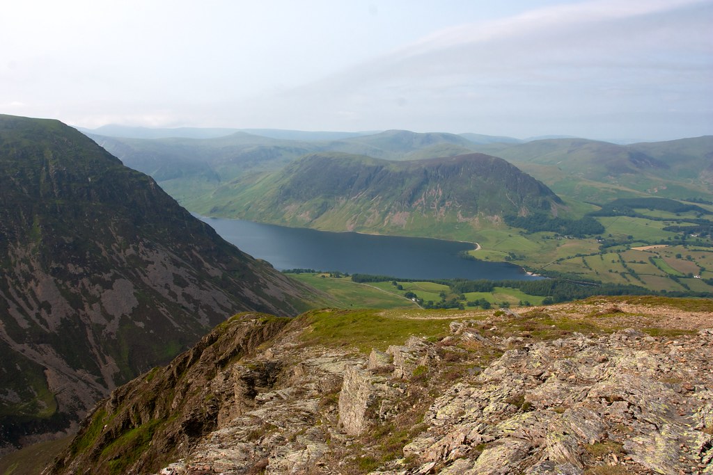
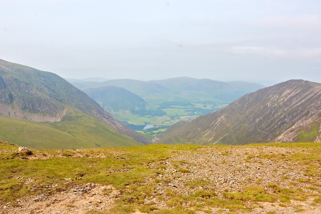
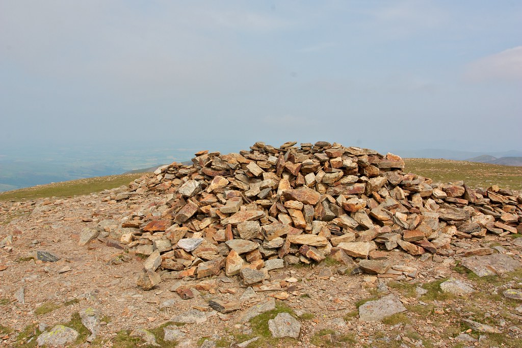
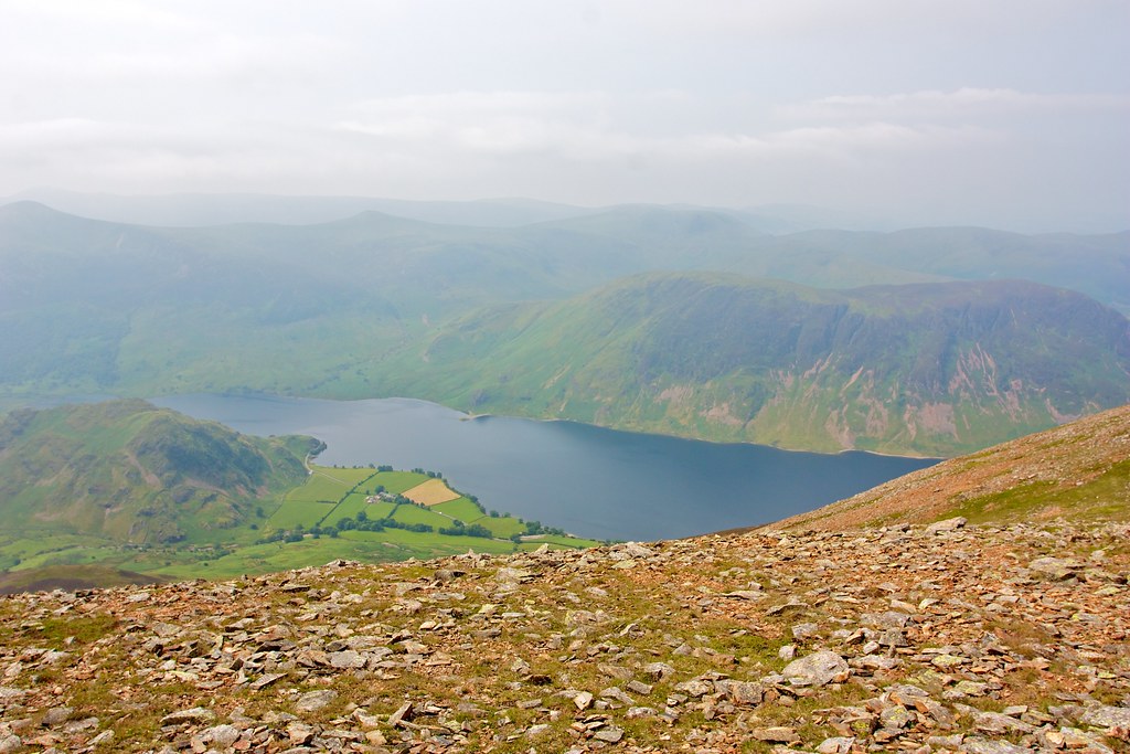
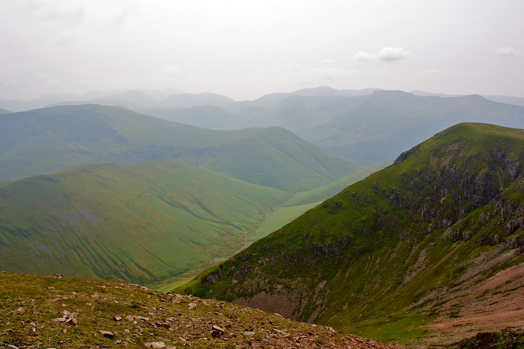
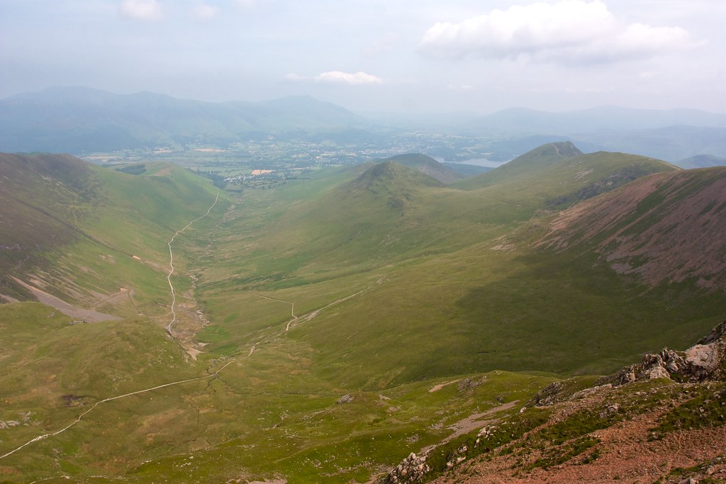
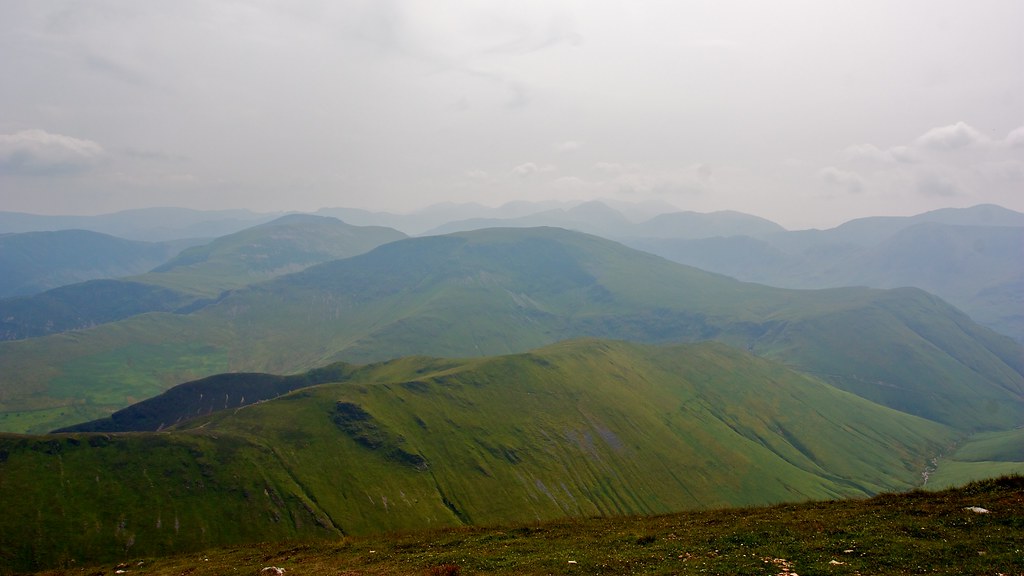
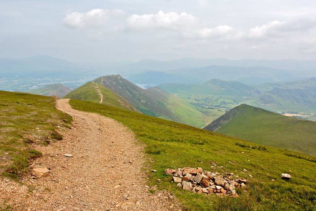
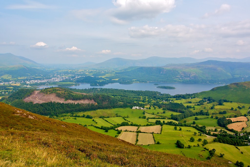
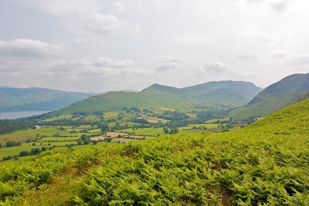
Eventually I cut across the dry plateau to reach the large cairn marking the summit of Grasmoor, the high point of the days walk. It was just about lunchtime so I found myself a nice spot to sit for some food, gazing out over Crummock Water, Buttermere and towards the hazy Central Fells. It was idyllic, the temperatures warm, the hint of a breeze and fabulous views.
From Grasmoor I followed the clear track on the south of the large plateau until I dropped down and met again the path at the top of Gasgale Gill.
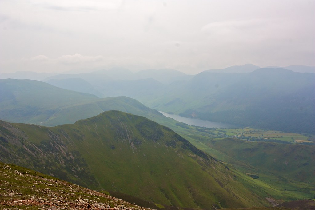
I took a right turn here and dropped down to Whiteless Pike, along another slender connecting ridge that enjoyed fine views down into hazy Buttermere.

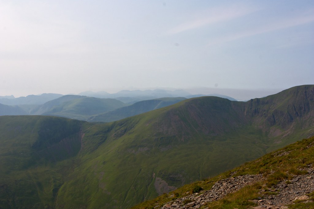
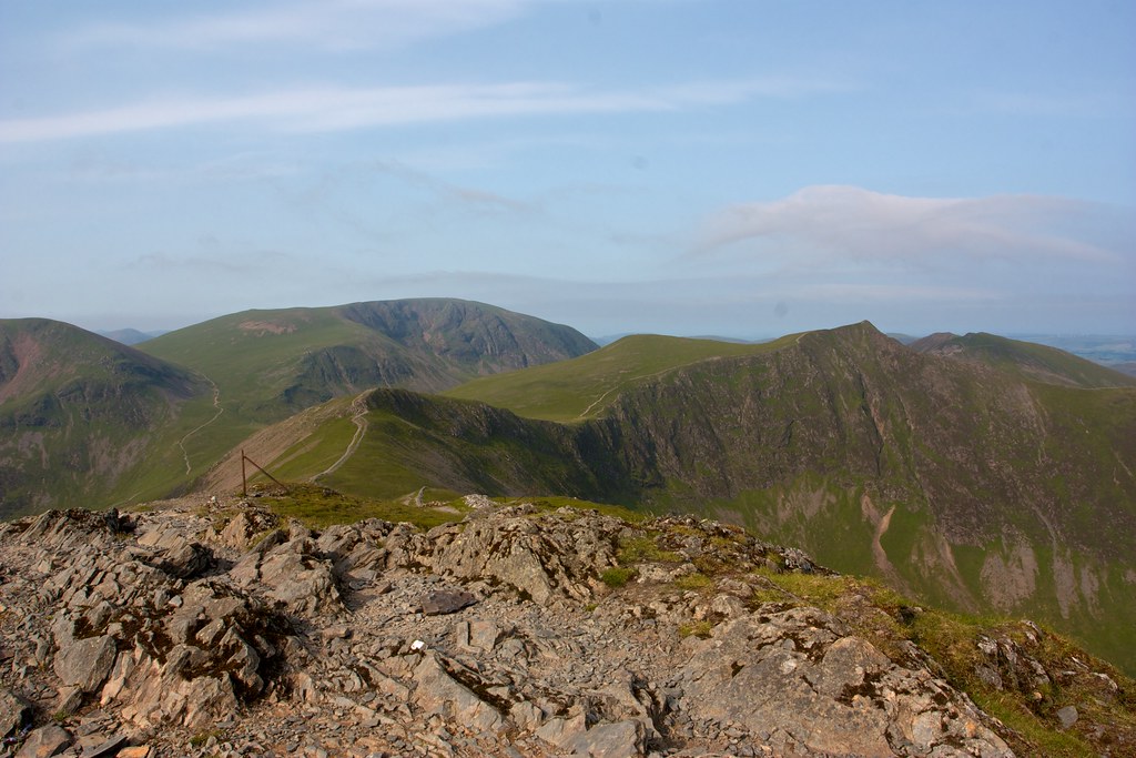
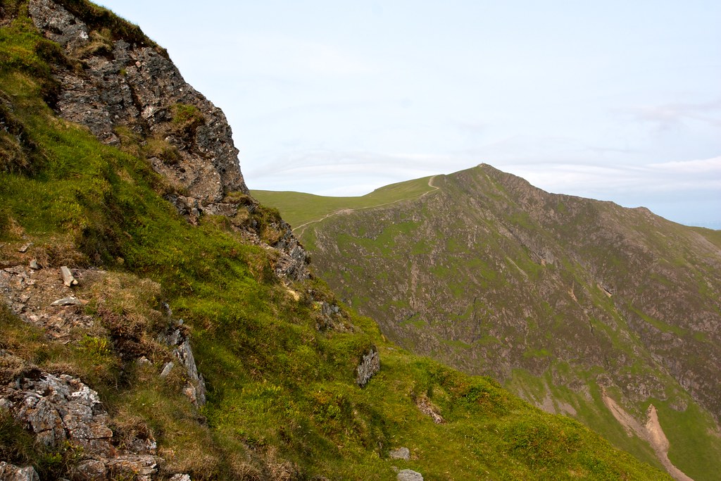
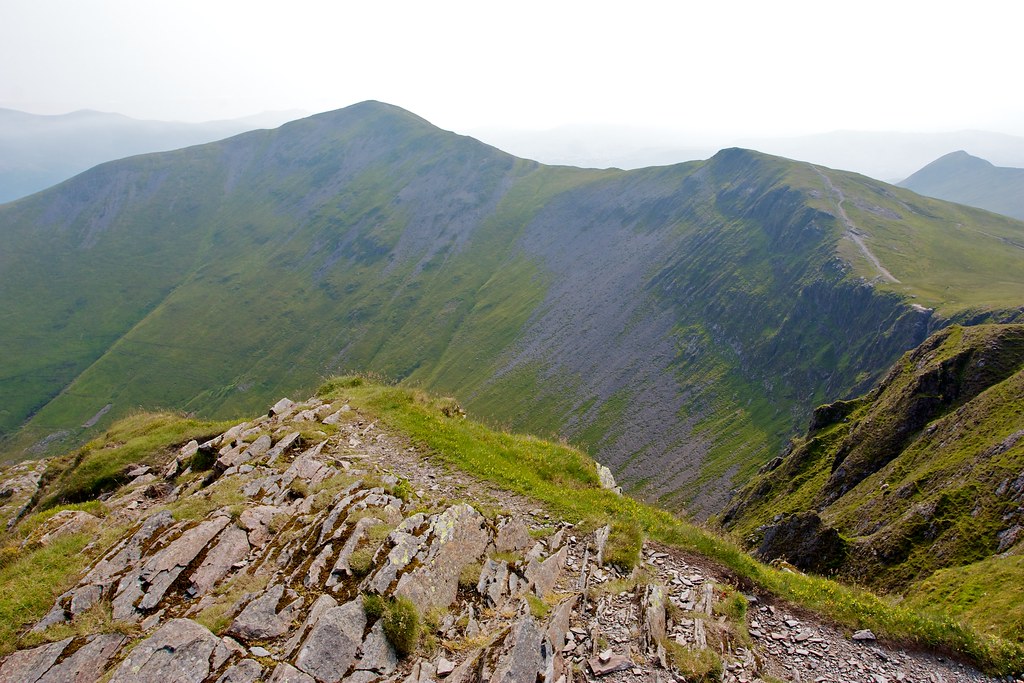
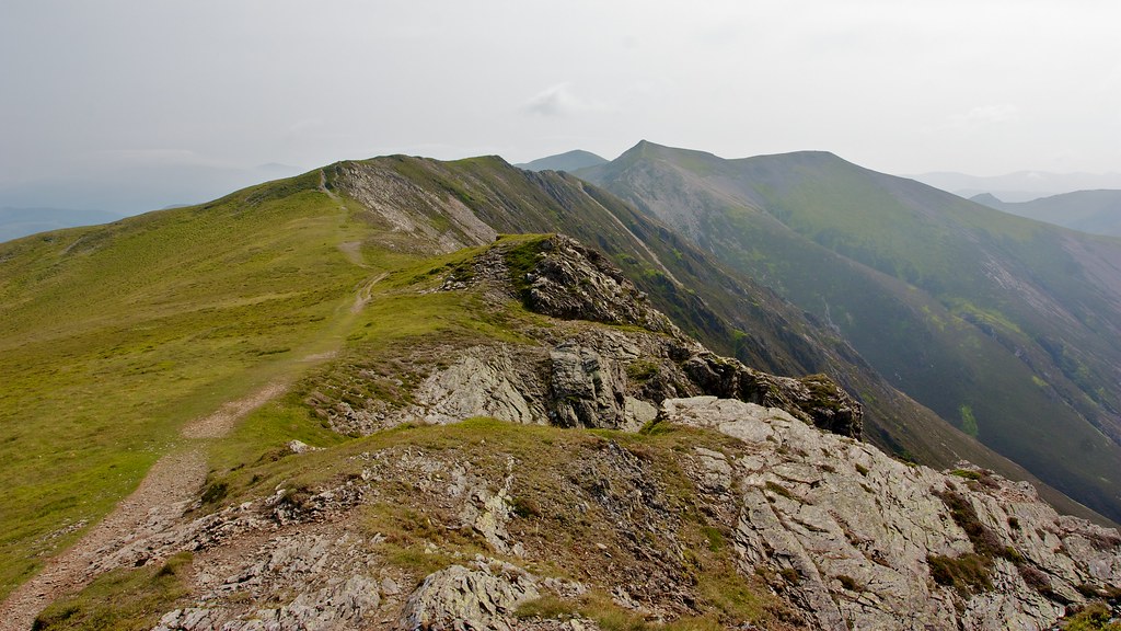
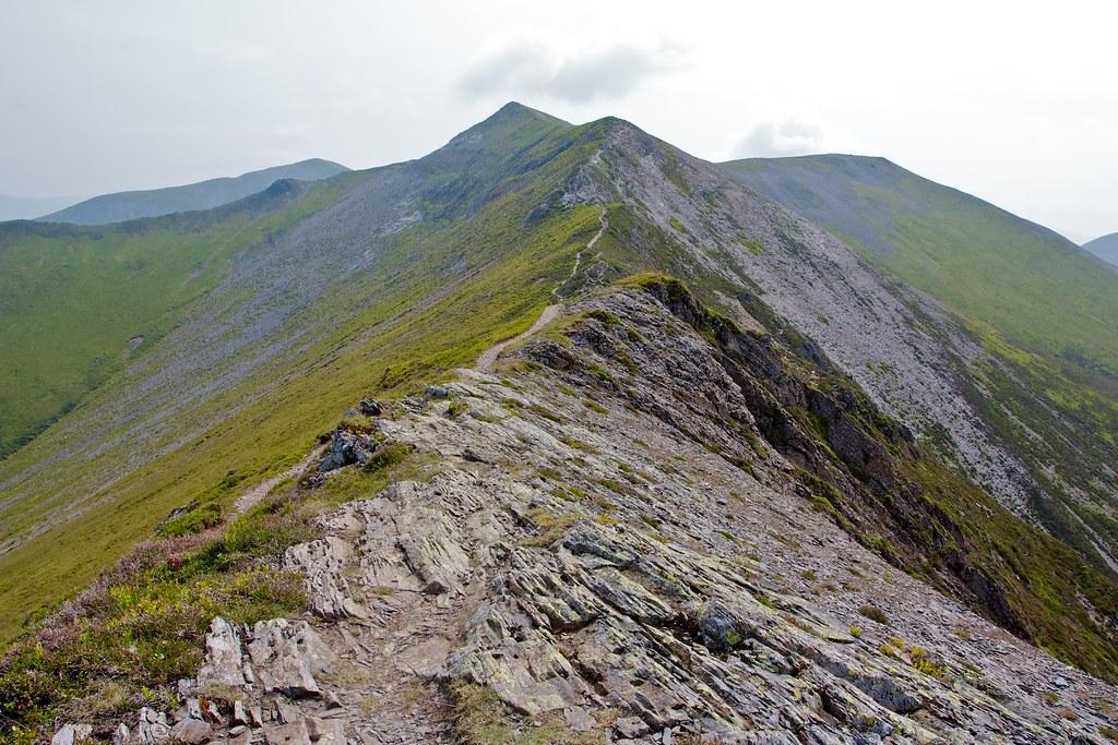
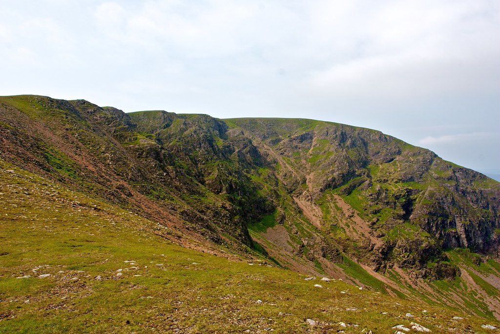
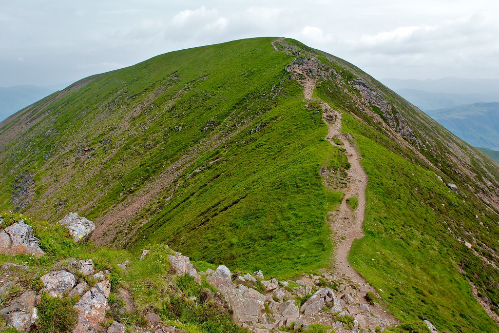
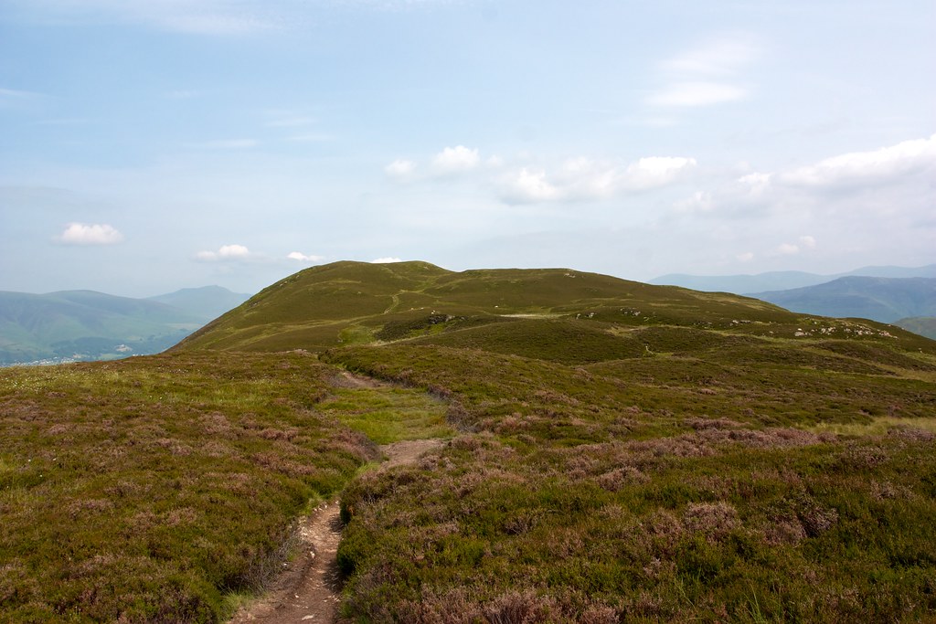
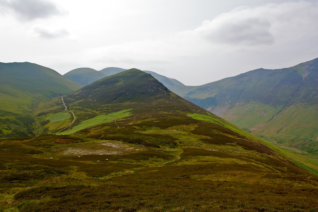
I returned via the same edge and then wandered over to the summit of Wandope which had good views on to Crag Hill and Sail with Causey Pike off in the distance. The path led me along the upper edge of the crags below Crag Hill, a view very reminiscent of the Cairngorms and then up on a narrow path which eventually led to the fine trig point on the summit of Crag Hill.
From here I took a short diversion north to visit the summit of Eel Crag, a small cairn perched high above Coledale with fantastic views across to the hills I’d been over in the morning.
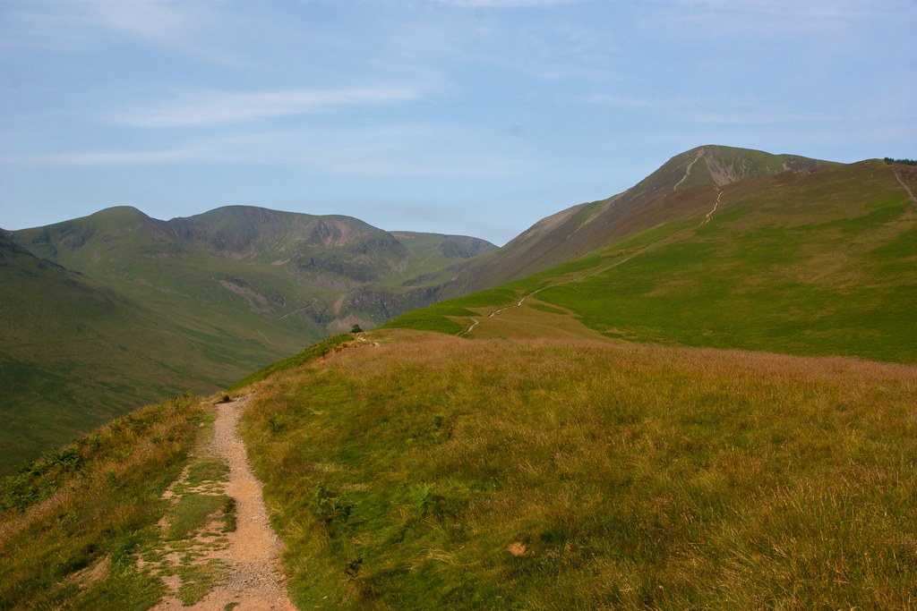
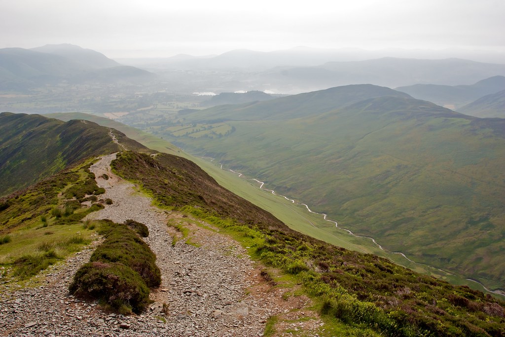
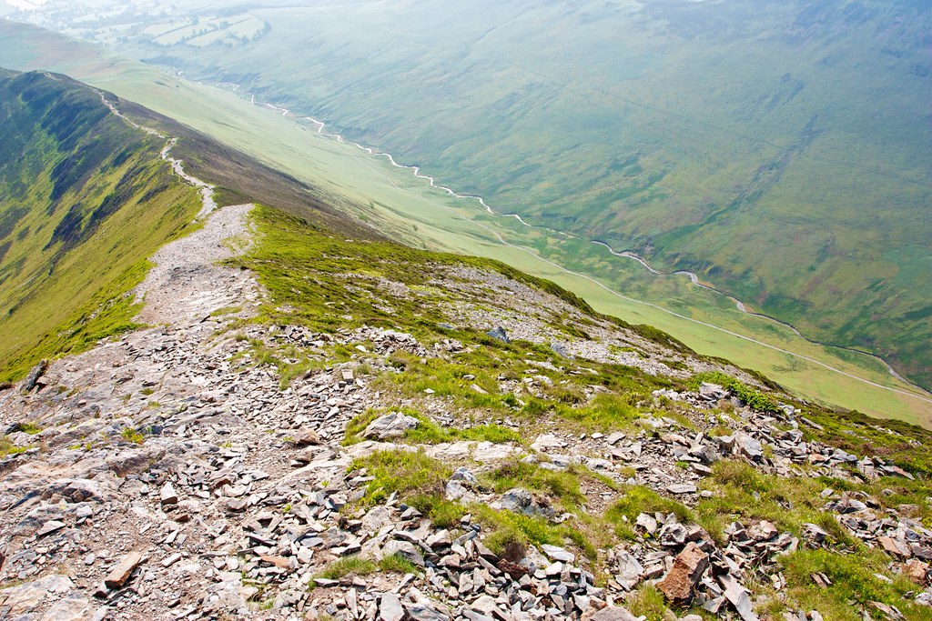
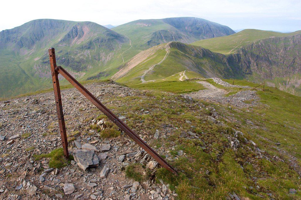
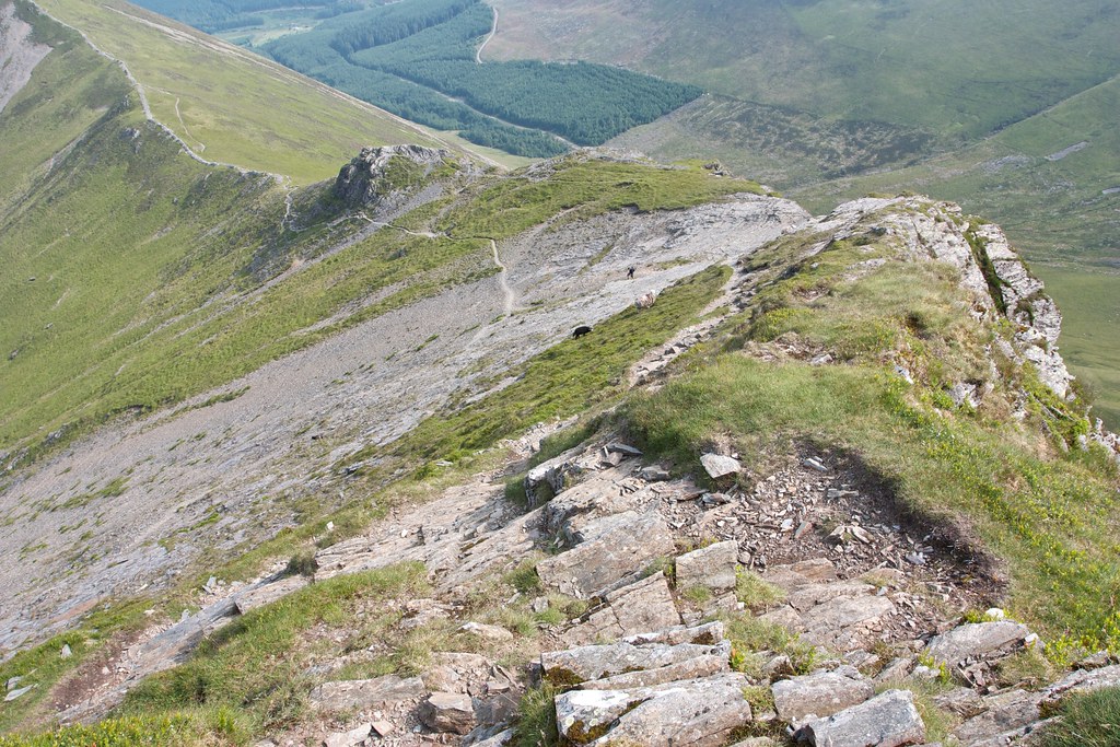
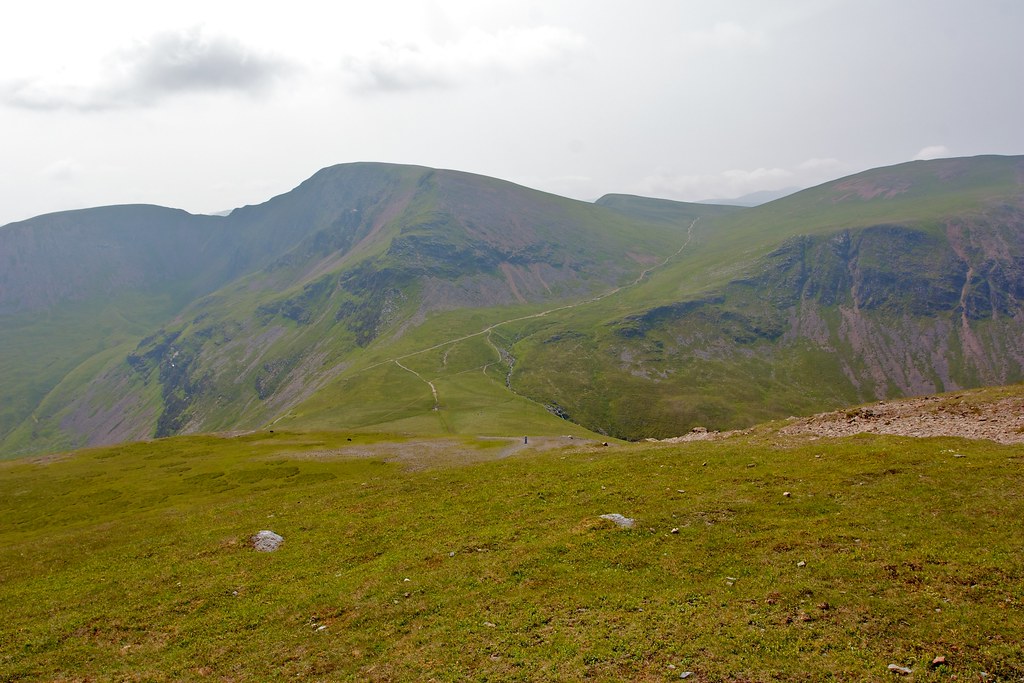
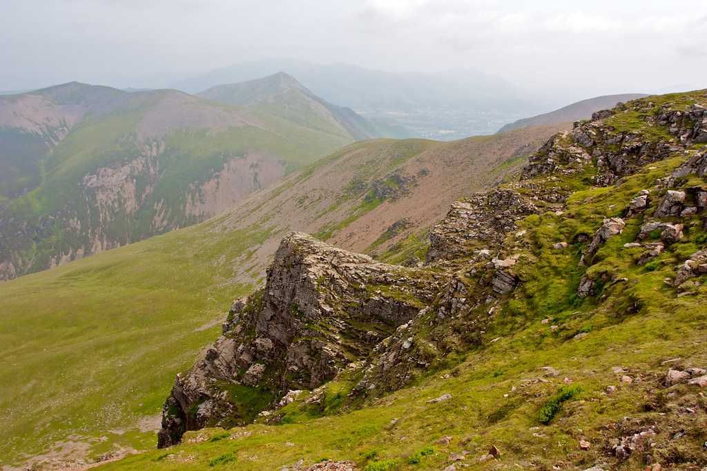
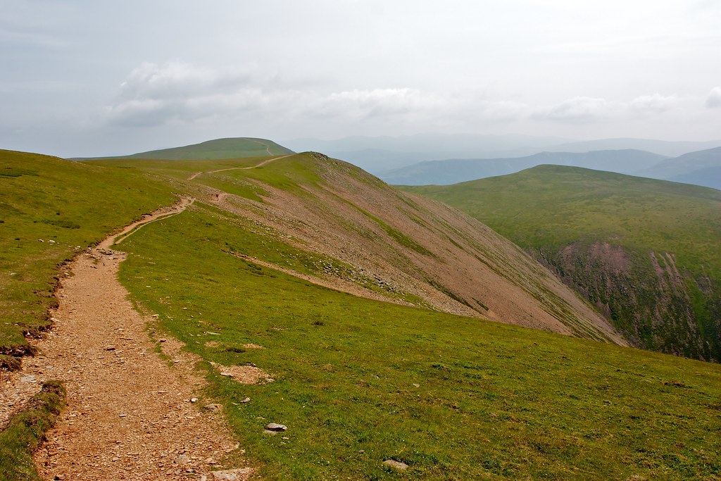
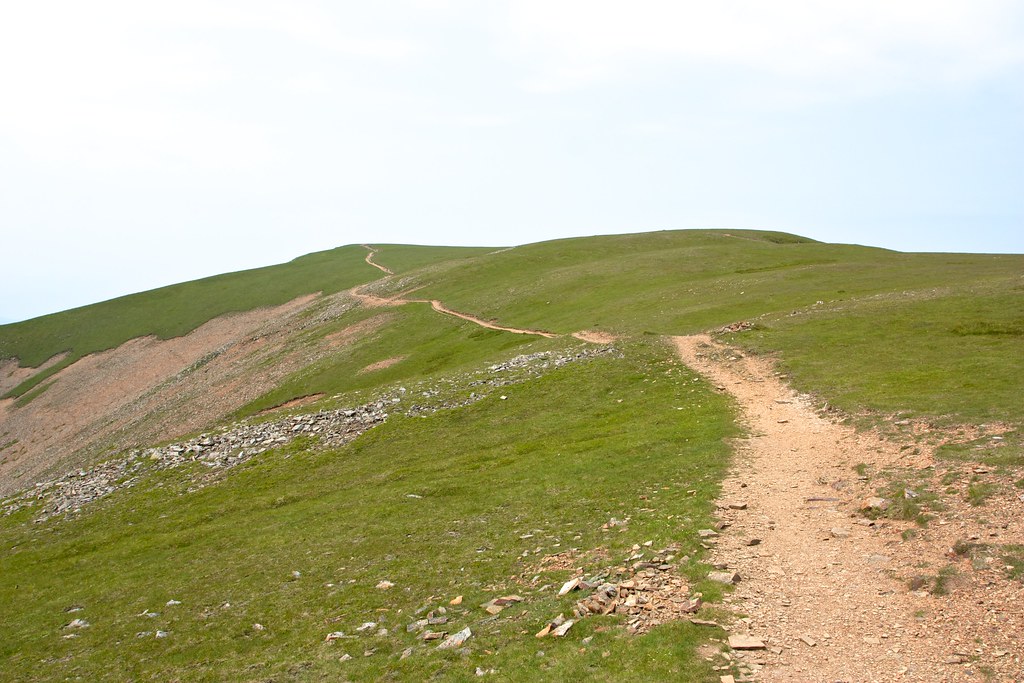
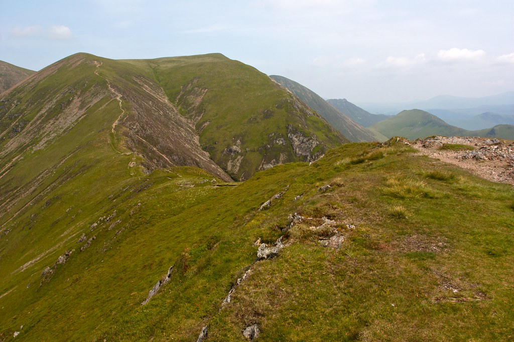
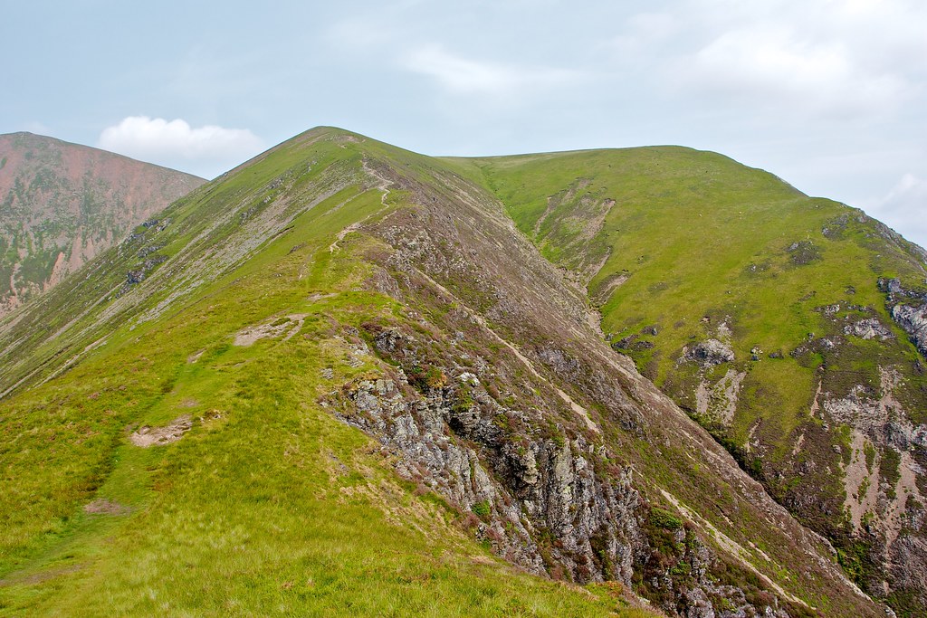
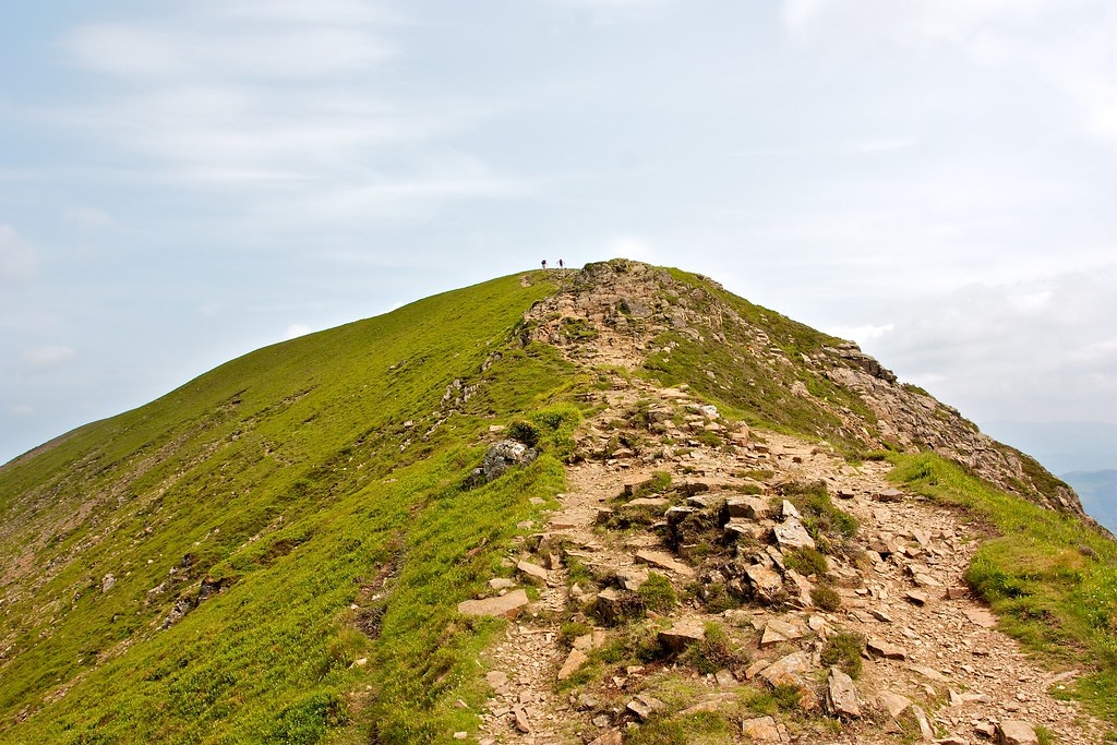
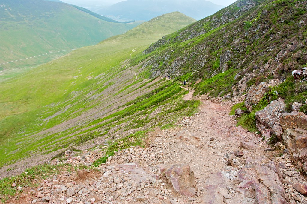
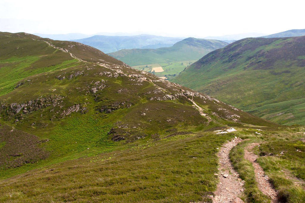
I returned to the trig point and then followed the path east along a connecting ridge which had a couple of interesting rock steps to negotiate whilst offering expansive views out both north and south. The ascent was less exciting and soon enough I was at the top of Sail. The summit of this is a few rocks piled up in a boggy pool. Classy.
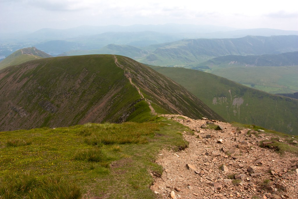
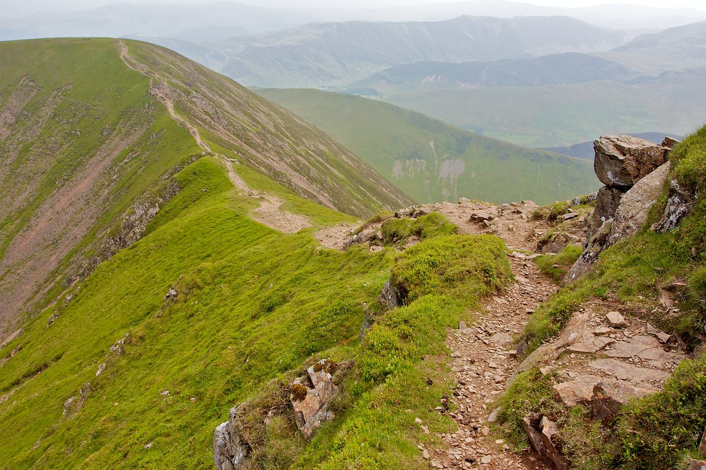
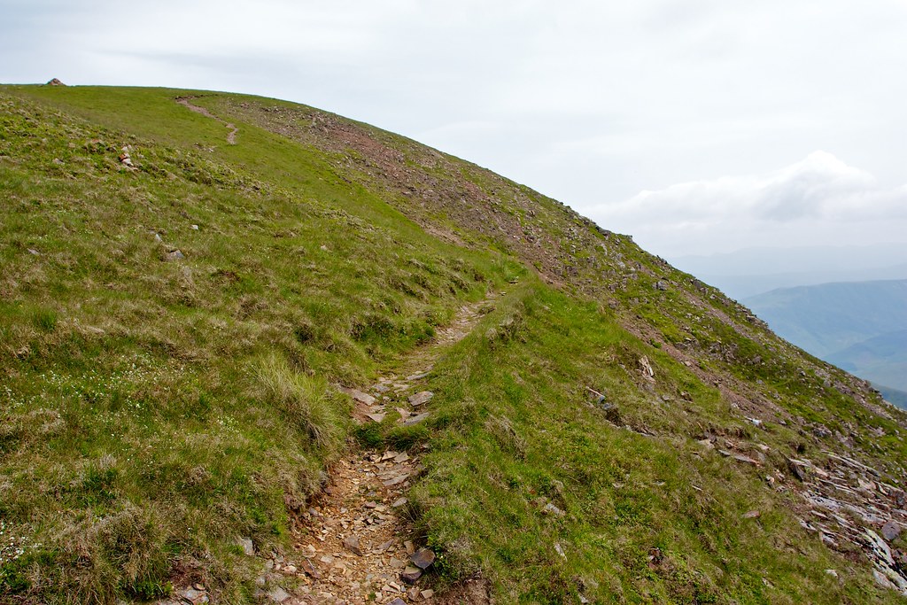
I now came to the infamous “fix the fells” path off Sail. This has to be the most over-engineered mountain path, in the world. Unlike path re-routing in the Cairngorms which attempts to take an unobtrusive line, this snakes a causeway up the side of the hill.
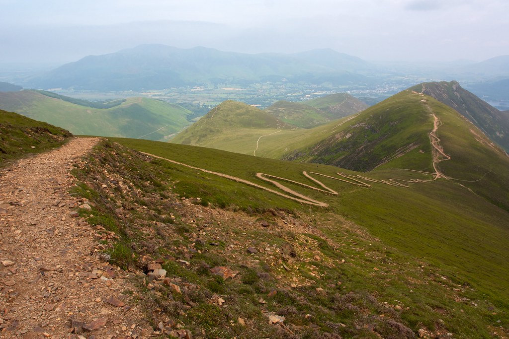
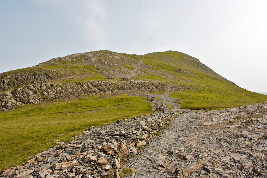
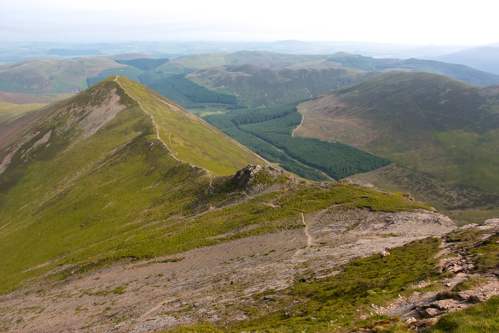
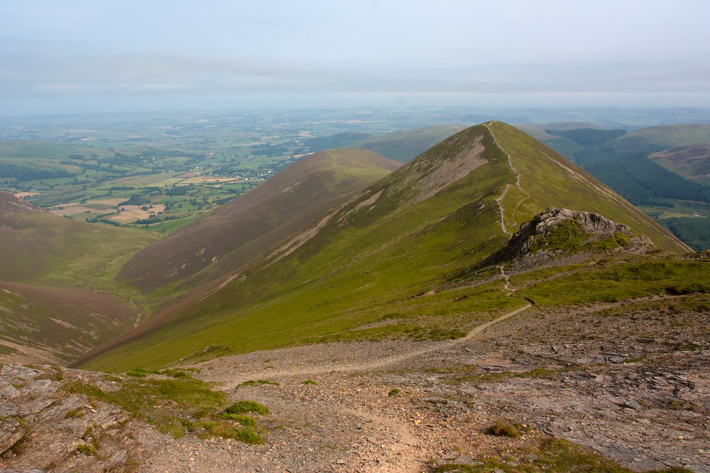
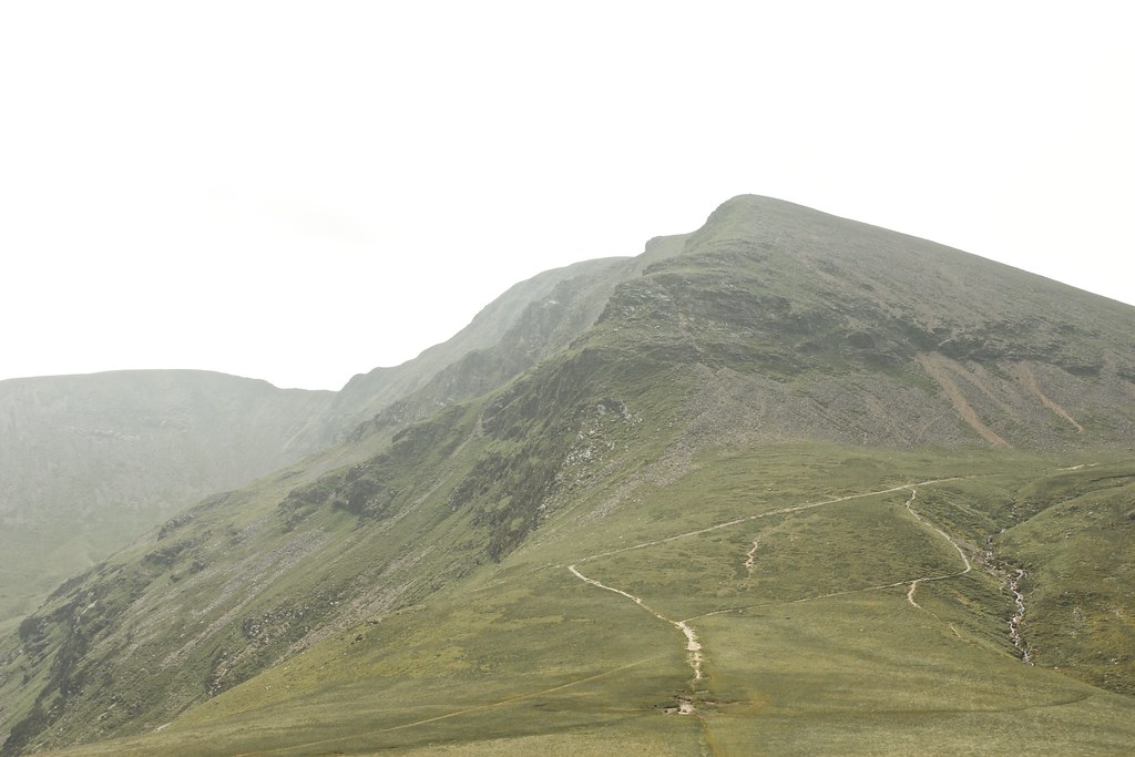
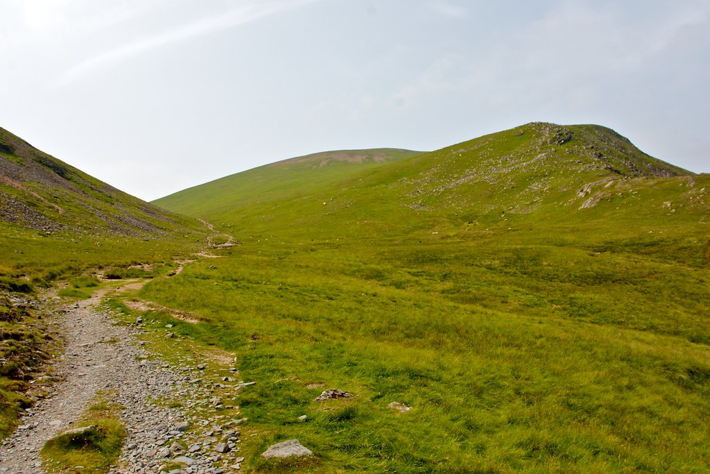
A similar path leads up towards Scar Crag but I chose to leave the high ridge at this point and descended via a scrabbly path below the crags, heading for Outerside.
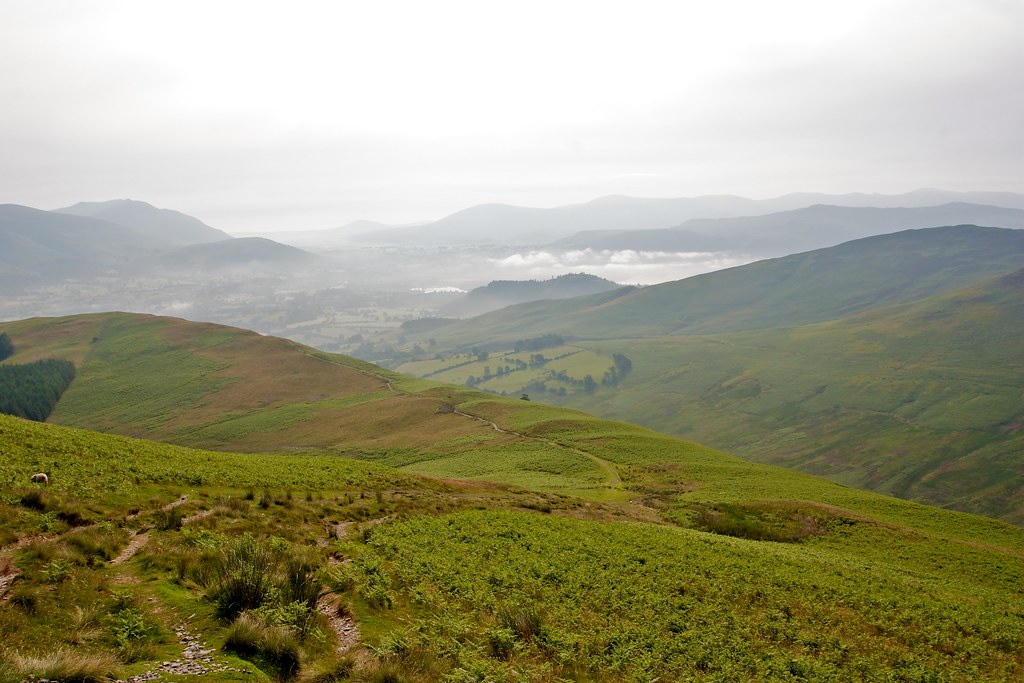
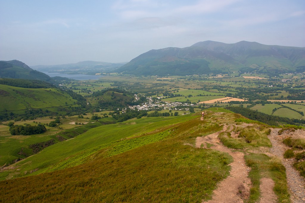
A faint stream offered me a chance to refill my water bottles and then a very short off piste section brought me to the path up Outerside. It was very quiet here and I enjoyed the peace and tranquility of this summit with the views looking down Coledale and across to Blencathra.

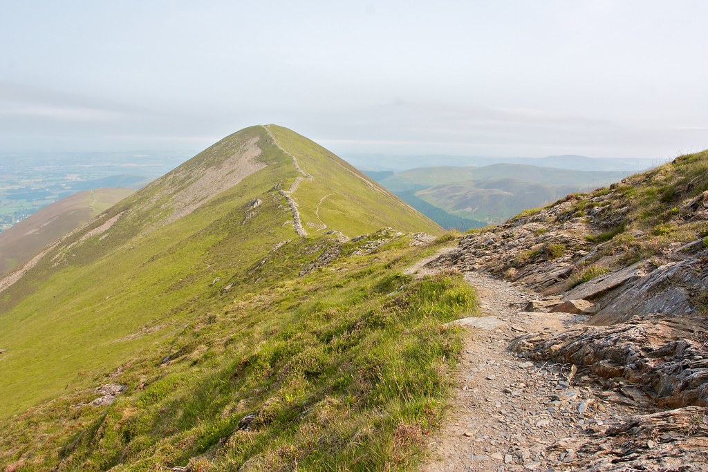
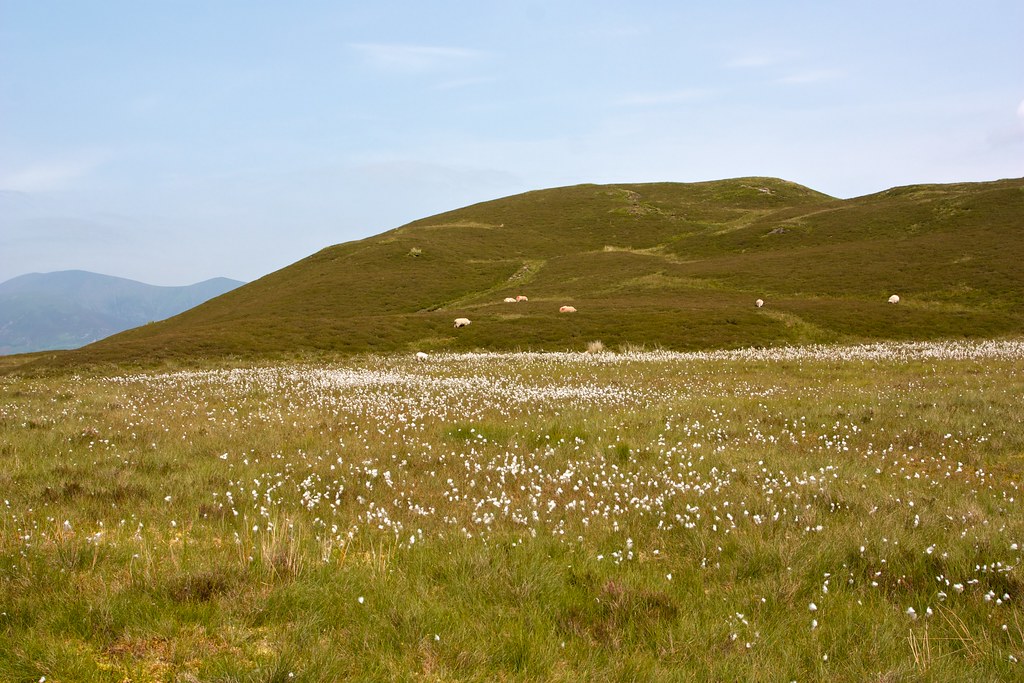
The path led me on, off the east side of Outerside and on to Stile End passed a carpet of bog cotton and then up to this featureless summit.
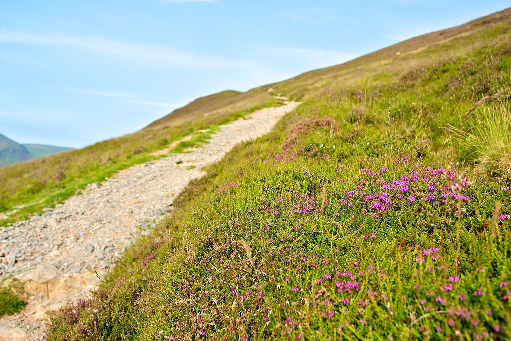
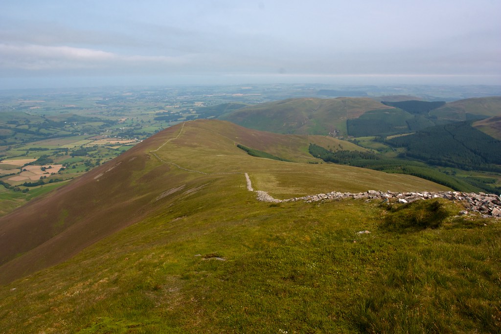
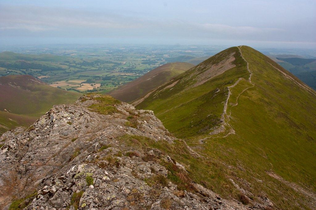
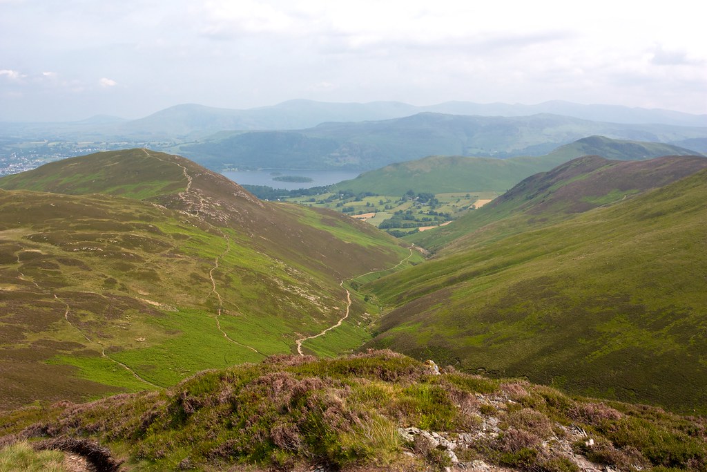
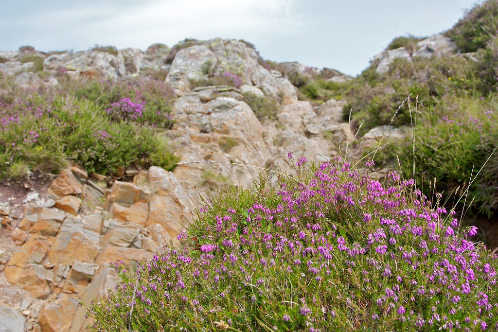
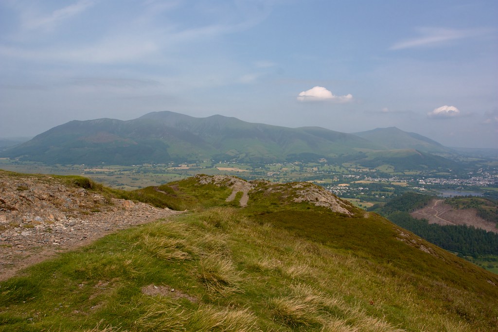
I dropped down to Barrow Door and then followed the path, rocky in places with heather quietly turning pink, up to the pleasant summit of this tenth and final Wainright.
The views down to Derwent Water, Keswick and across to Blencathra were stupendous in the warm afternoon sunshine and there were only a couple of other people to disturb the peace and quiet of this hot, hot day.
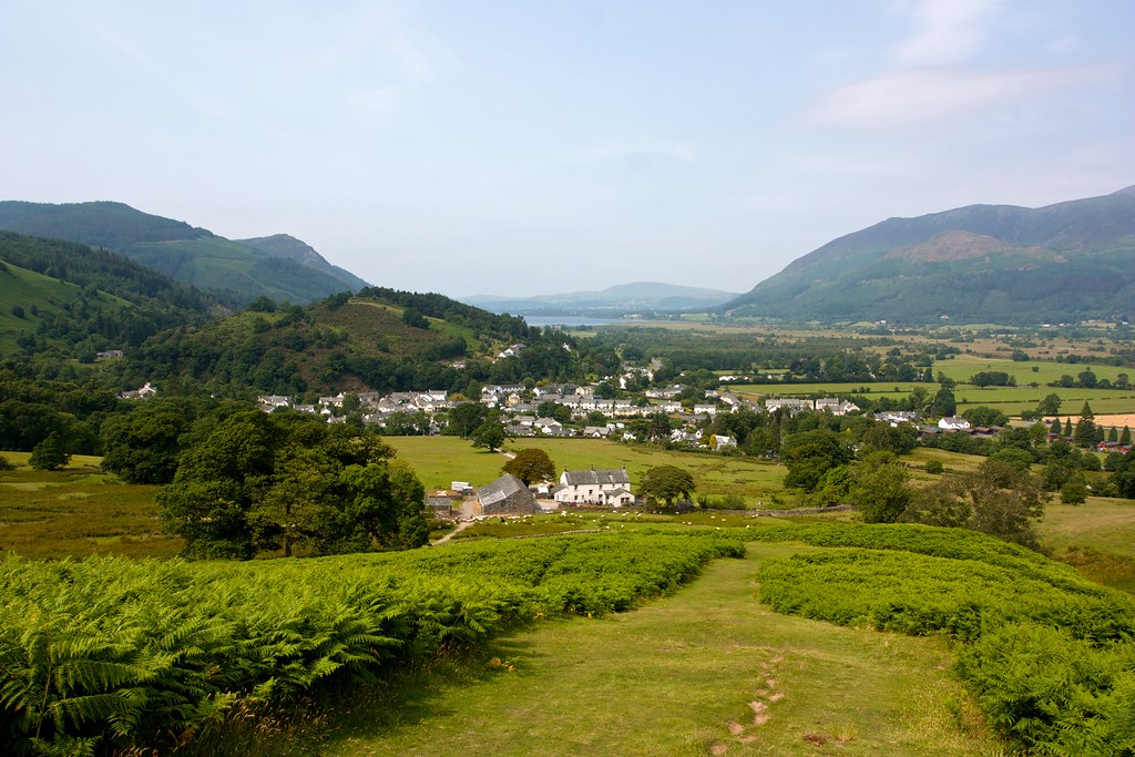
After a final snack and enjoyment of the view I followed the easy path down between the ferns from Barrow, rapidly dropping down to the farm at Braithwaite Lodge. A couple of gates were negotiated with the entire population of farm dogs milling around and then it was through a field, across a beck through some woods and then onto a quiet lane that dropped me down into Braithwaite and straight back to the car parked at the Coledale Inn.
After dropping off my bag I headed to the inn for an ice cold pint of Coke which I sat outside in the splendid sunshine to drink. My car thermometer was at 31C as I wound my way back through Braithwaite and on to the A66 for the drive across the Pennines to home.