An overnight backpacking trip around the Beinn Dearg group of four Munros and the remote Munro of Seana Bhraigh with a high wild camp
Sunday 9th November
Inverlael to Wild Camp on Creag an Lochain Sgeirich (NH 256 852)
Distance: 20.3km
Elevation: 1,654m
Hills: Beinn Dearg (Munro, 1,084m), Cona Mheall (Munro, 980m), Meall nan Ceapraichean (Munro, 977m), Eididh nan Clach Geala (Munro, 928m)
Route: View on OS Maps
It's not often that you read the words "almost dead calm on the summits" but those words, or something very like them, appeared on MWIS on Saturday afternoon and my plan for a backpack west-to-east through the Cairngorms was suddenly turned into a north western trip. I packed enough provisions for two nights but decided to see how I got on.
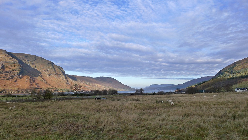
Leaving Aberdeen at just after 6am it was dark but mild as I made my way westward. A gloomy dawn happened somewhere near Keith but by the time I was climbing up to the moorland beyond Garve the sun was out and it was the most glorious morning in the North West Highlands - the calm made a mirror of Loch Glascarnoch and soon I was gazing up at the summits of the Inverlael Forest - my intended destination.
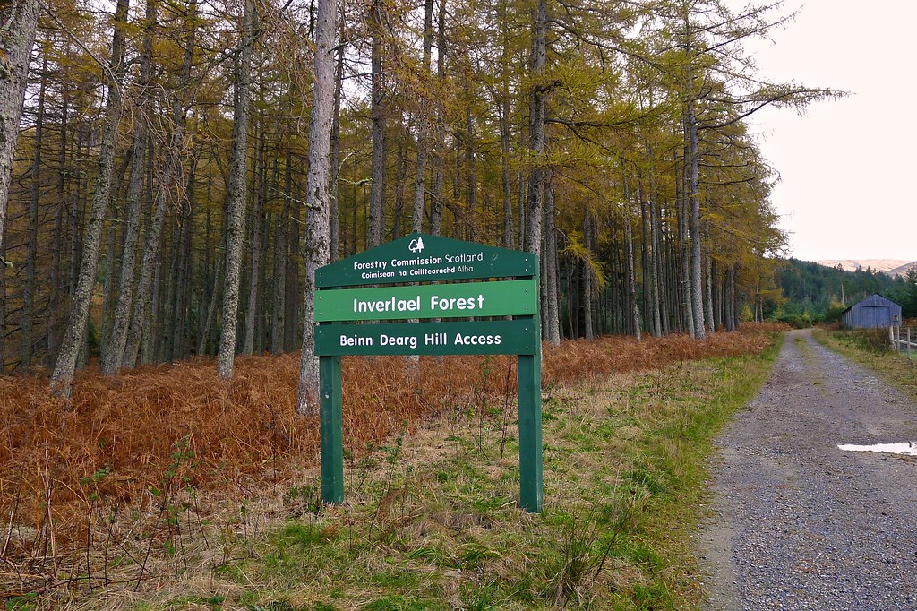
There were three cars at the walkers' car park by Inverlael House in Strath More but it looked as if everyone was already well on their way into the hills when I got going just after 9:30.
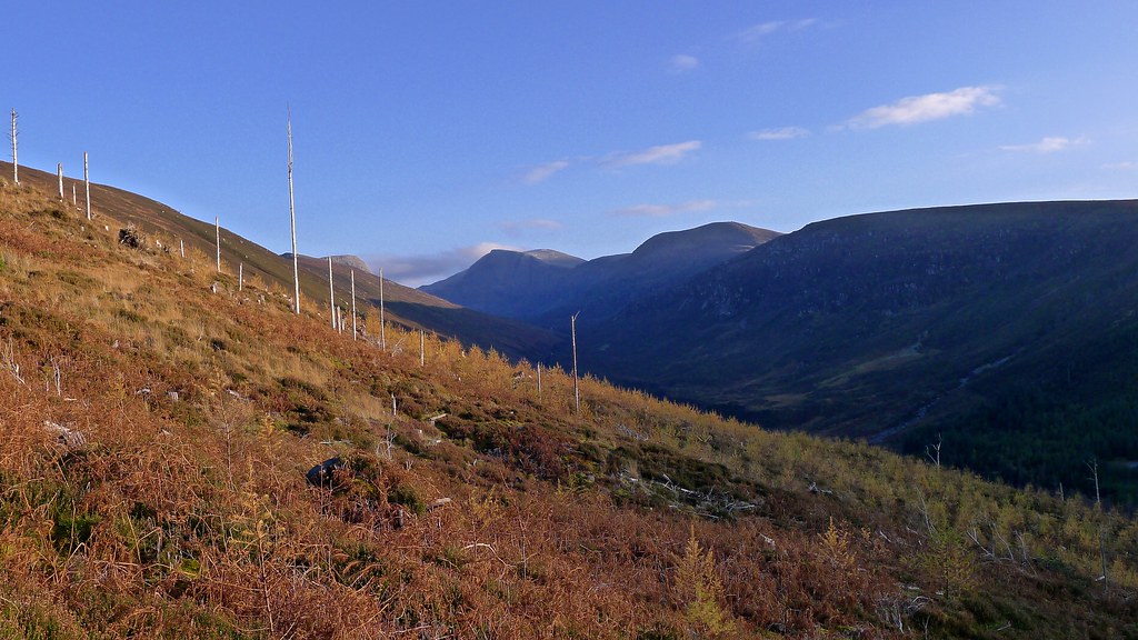
The route into the bealach to the north of Beinn Dearg is straight forward, a forestry road providing an easy way up lower Gleann na Sguiab above the river. It is all plantation here but there were pleasant views out across the river and up towards the higher slopes of the glen.
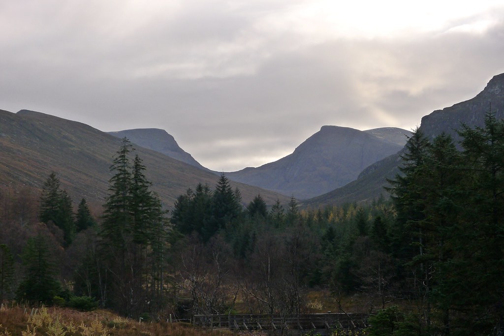
After dropping down and crossing the River Lael by a very wet bridge the track followed the curve in the glen and just before I disappeared back into the woods I got my first view of the impressive western face of Beinn Dearg rising up at the head of the glen.
Through a more pleasant section of woodland and then out into the open glen, stopping to a look down at the upper catchment of the River Lael hydro scheme.
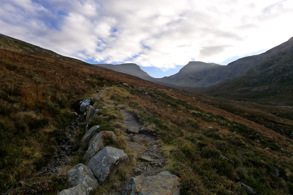
The track now left the glen floor and narrowed to a delightful footpath, gaining height steadily with wonderful views up ahead. The uniform grey cloud was starting to break and low sunlight spilled over the southeastern flank of the glen.
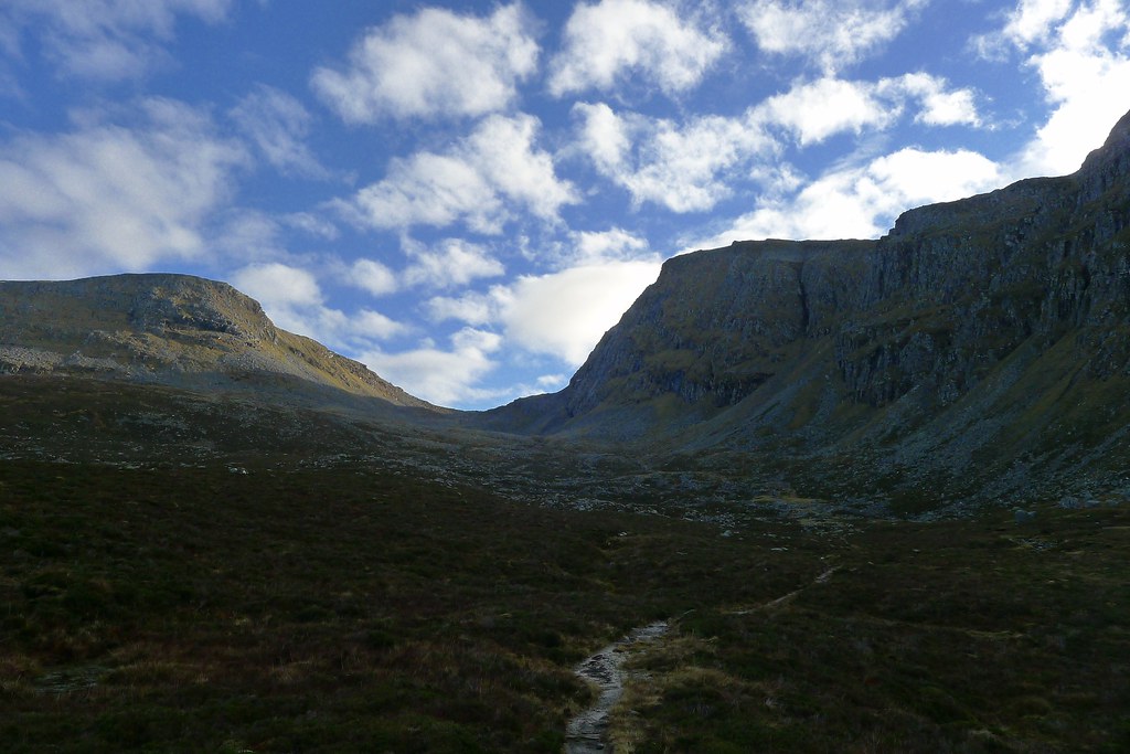
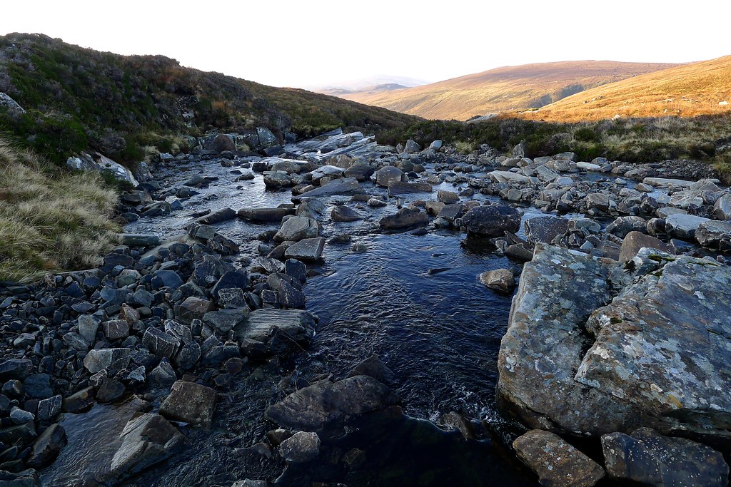
As I entered the upper glen I passed a number of grand waterfalls and was soon in the shadowy inner sanctum below Beinn Dearg's dark cliffs. There were a number of side streams to ford but this was accomplished without problem and then I was following the easy path higher up.
At about this point I set my pack down and as the hour of eleven ticked over, stood and observed two minutes of silence. It was Remembrance Sunday and I thought of my Grandpa who introduced me to the hills of the Yorkshire Moors and Dales.
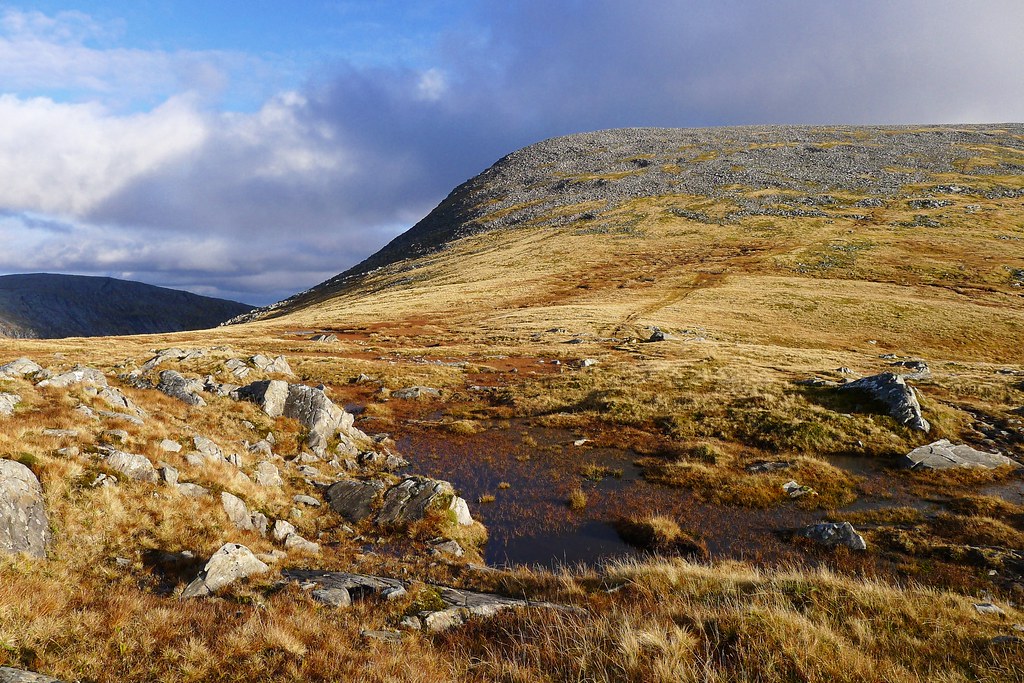
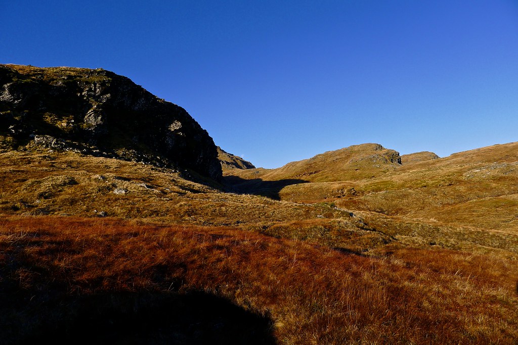
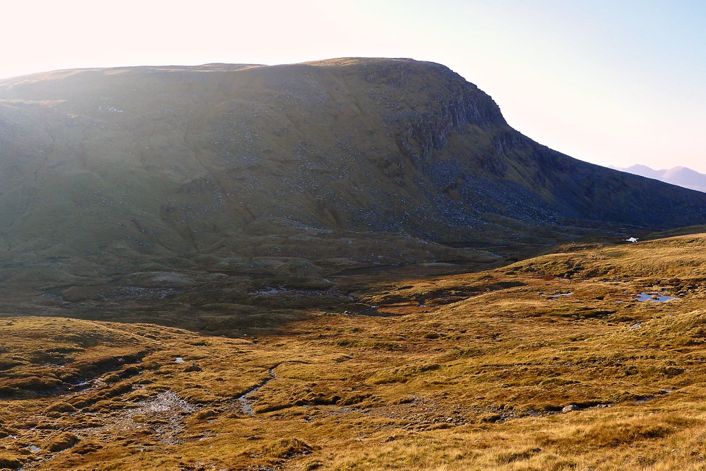
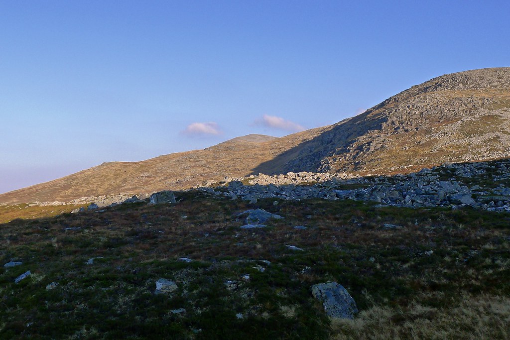
The path now followed a cunning line, winding its way up between flat grassy sections and rockier climbs as the land rose in a series of terraces towards the Bealach an Lochain Uaine. Golden light was catching the upper slopes of Meall nan Ceapraichean, the Munro opposite Beinn Dearg.
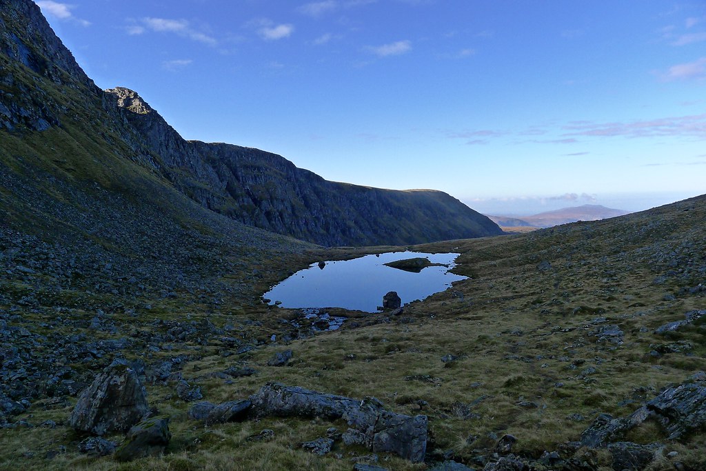
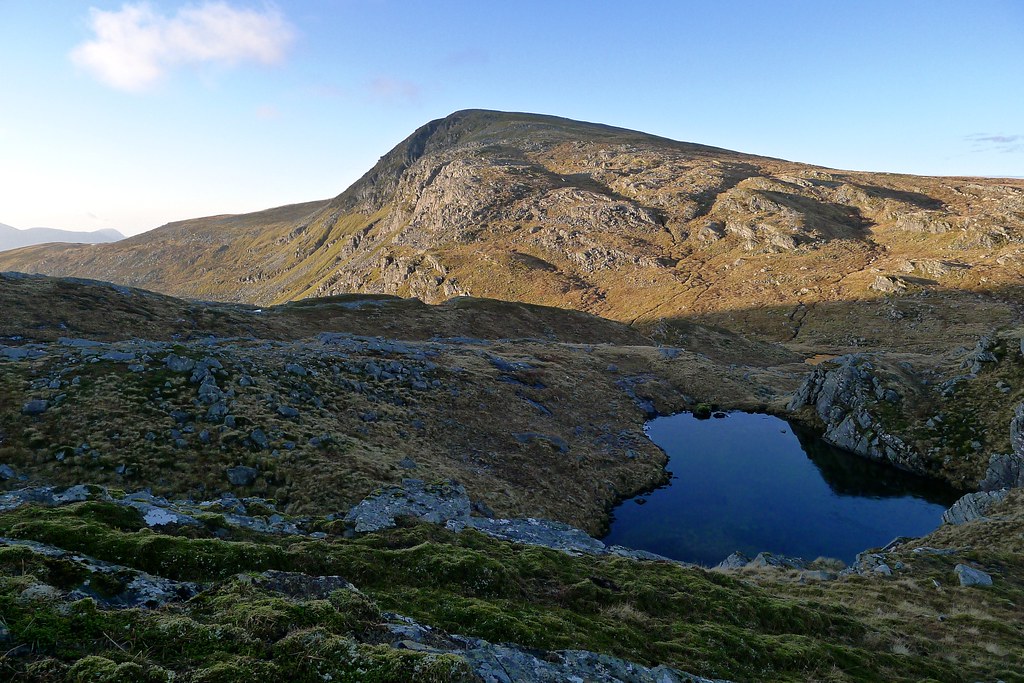
The path went past a number of still pools, including the larger Lochan Lathail, but soon enough I was up the last section of ascent and rejoicing in the warm sunshine at the Bealach an Lochain Uaine.
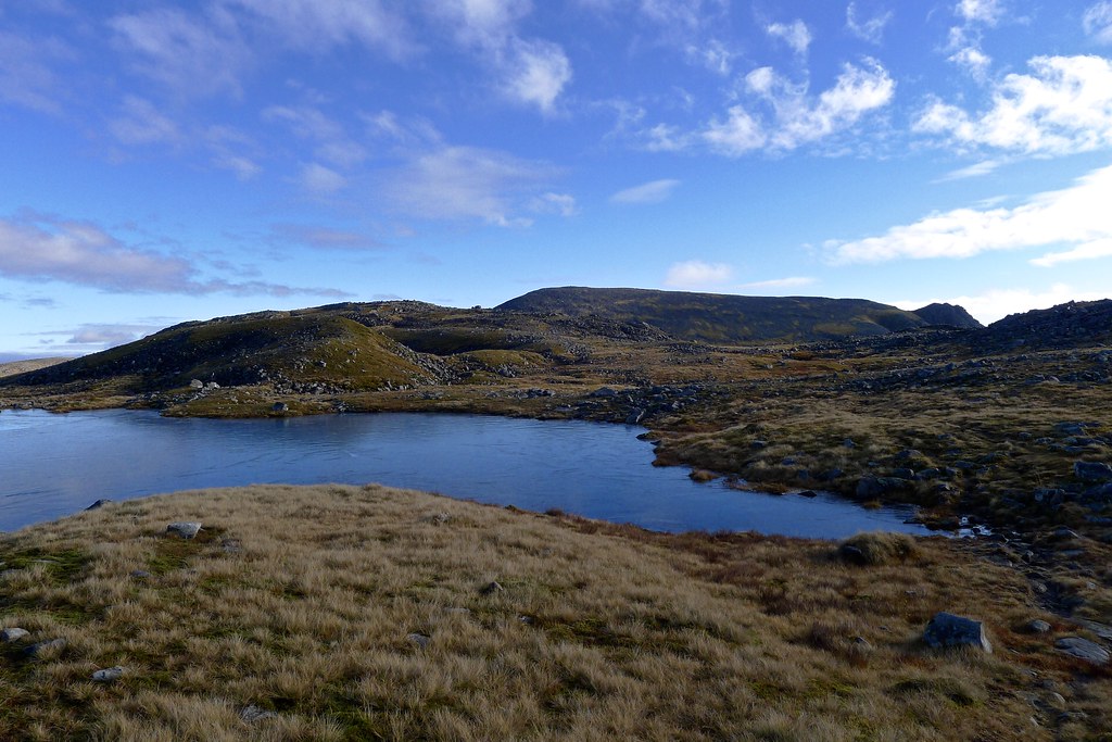
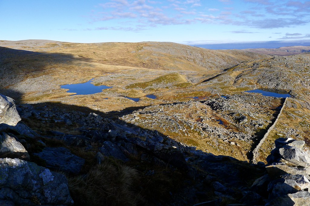
The surface of the lochan had a layer of ice as I made my way across the bealach and up to the crest where the infamous "famine" dry stone wall was to be found. Here I decided that as I was doing two out-and-backs I would leave my pack. I don't like doing this, especially when I have all my camping gear in there, but given I was running against daylight anything that would ease the ascent/descent was to be embraced.
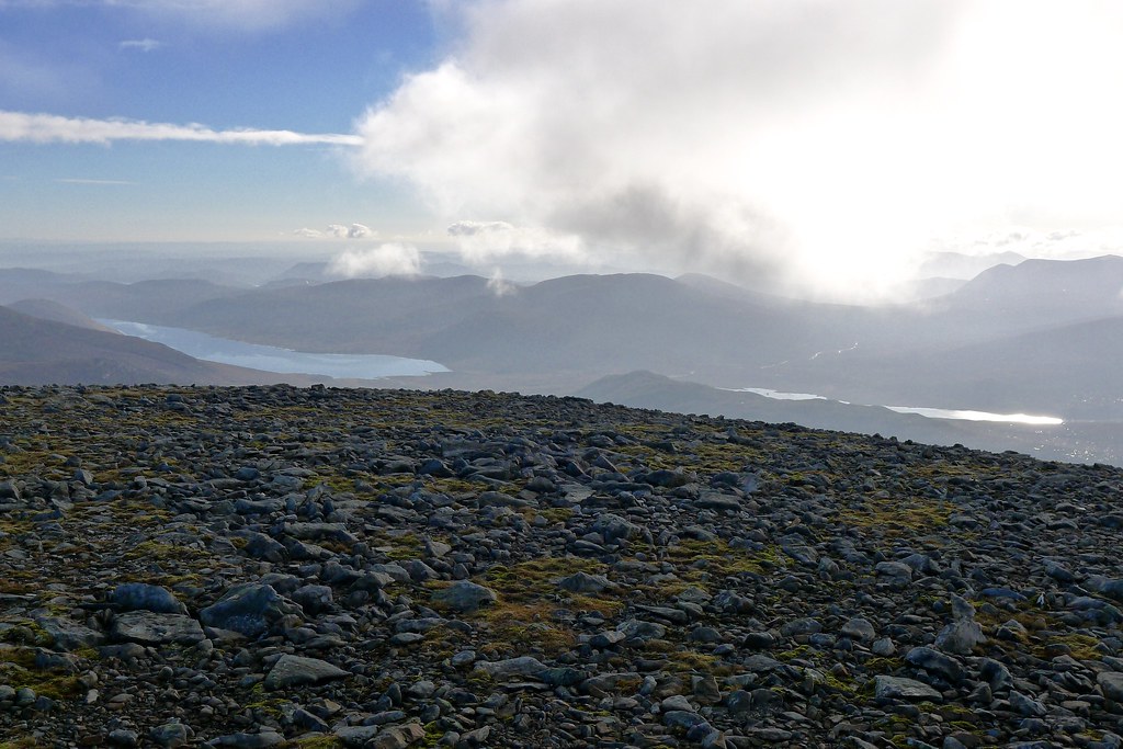
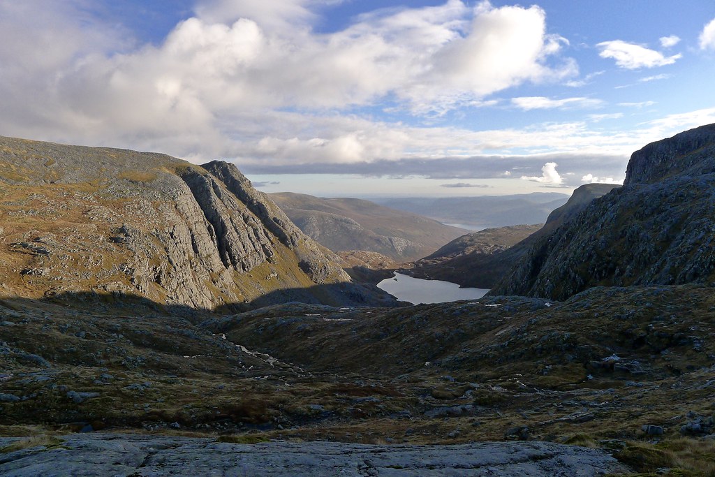
From here there was a fabulous view eastward down beyond Loch Choire Ghranda to a distant Loch Glascarnoch.
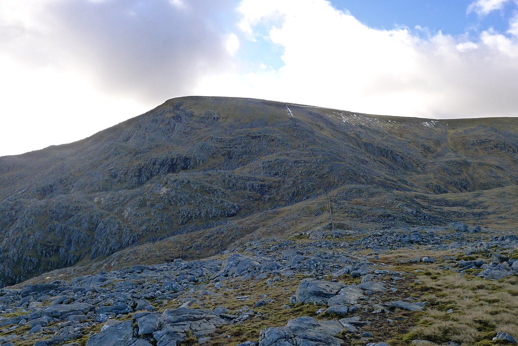
With just a few things in my pockets I headed up the north side of Beinn Dearg, a steep flank following the line of the wall as it climbs upwards. In the deep shade the rocks were slippery with frost and I had to be careful about foot placement. There were two initial steep sections where there was careful clambering up greasy blocks, and then I crossed the wall and followed grassy patches up to the summit plateau. The views behind and below me were fabulous with the autumn sunshine bathing the land beyond the shadow of Beinn Dearg's bulk.
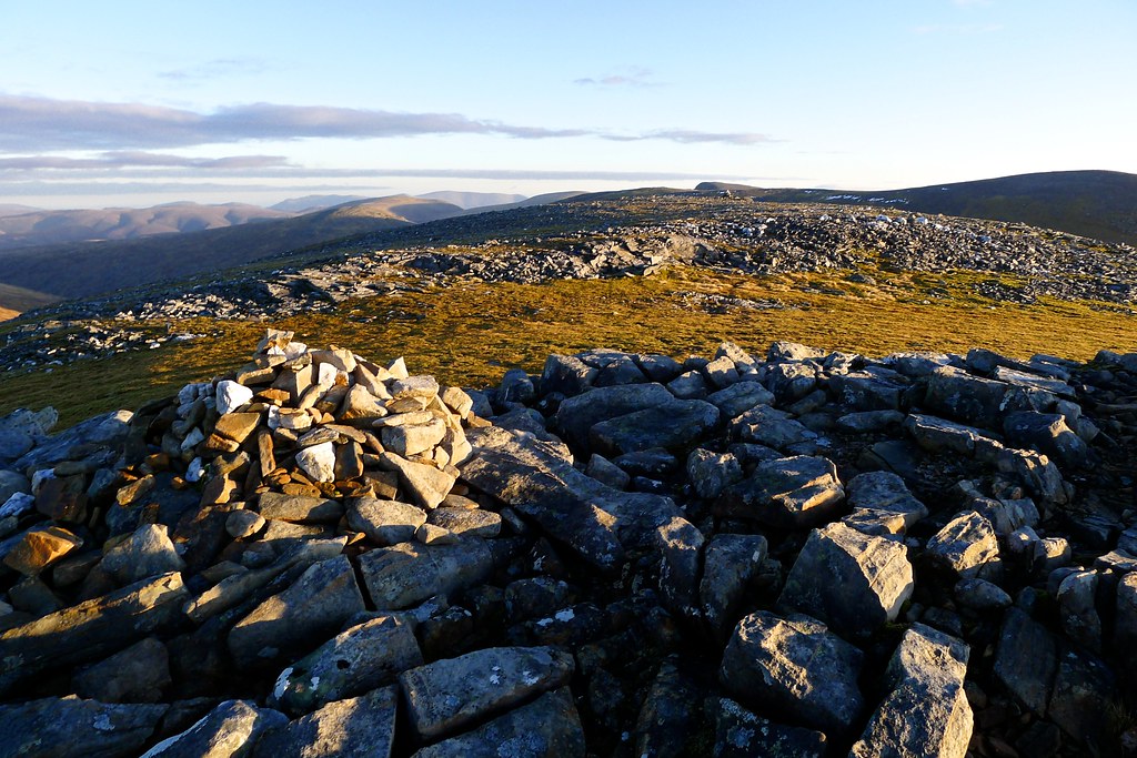
The summit cairn was soon attained and I stood in disbelief at the accuracy of MWIS's 'dead calm' promise - it was utterly, utterly still.
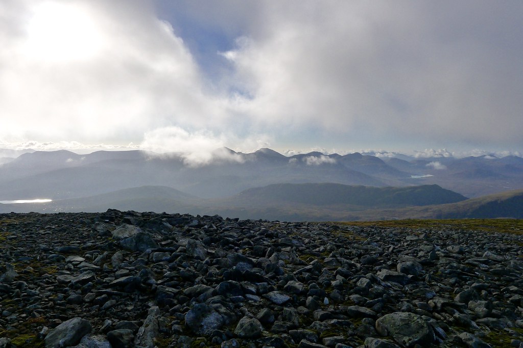
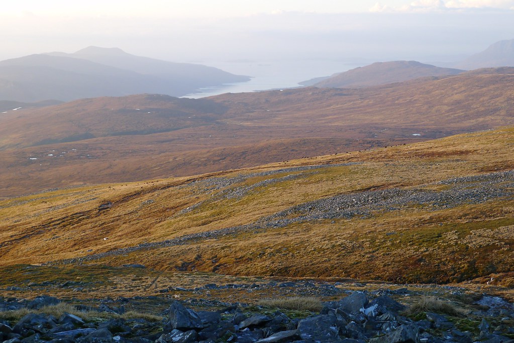
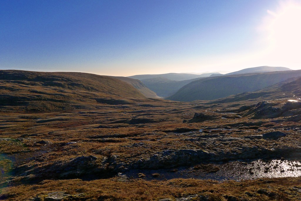
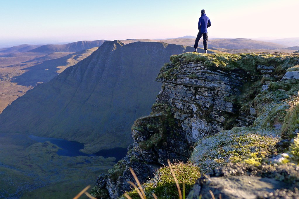
I stood in awe, gazing off at the splendid views that had opened up all around. Mist and cloud lingered around the summits to the south but north and west it was perfectly clear, a background of mist hanging over the sea.
Eventually I tore myself away from the views and retraced my steps back off the plateau and down the north ridge, picking the best line and avoiding most of the worst of the slippery sections.
Soon enough I was back at my pack, enjoying the views down the coire again as the changing light cast fresh shadows. Looking at the time I decided I had enough time to make it up to the summit and back of Cona Mheall, the Munro which sits to the east of the bealach.
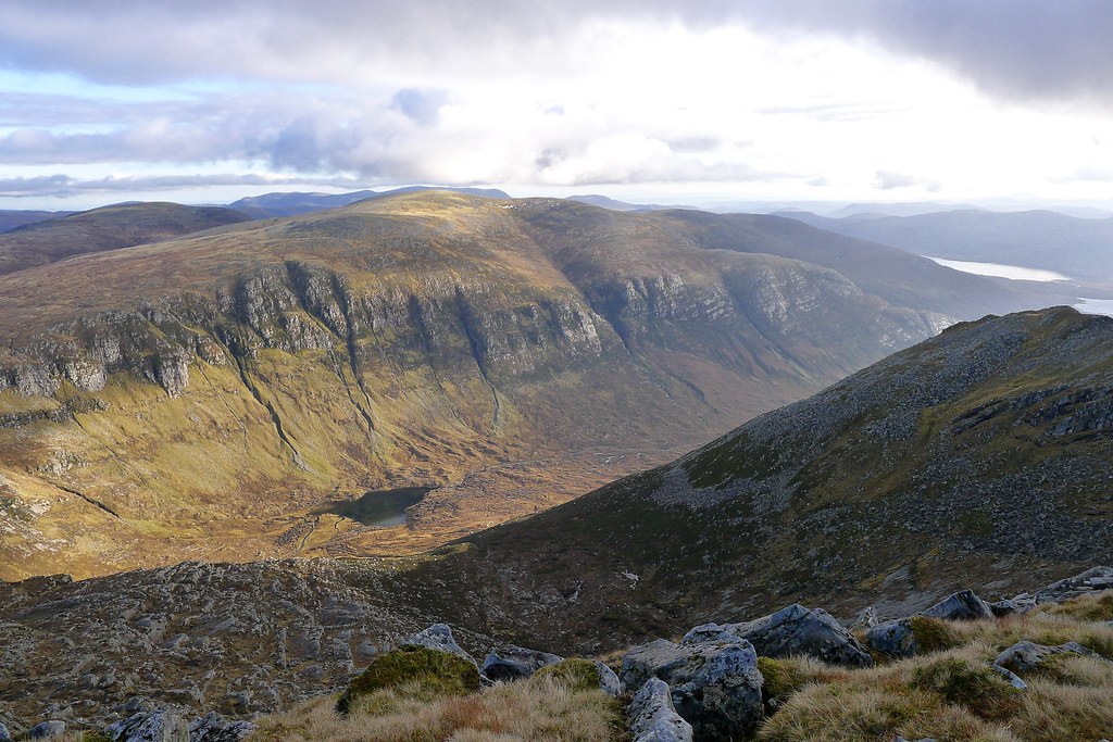
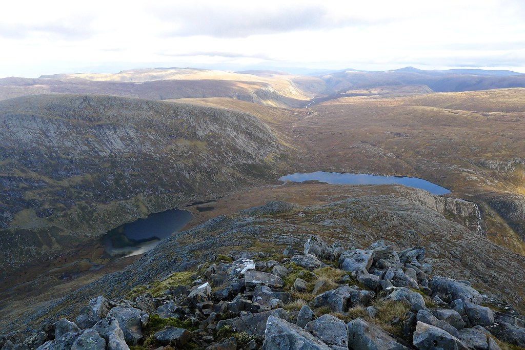
I soon picked up a track and followed this over the minor top just above the bealach. This led me down to the start of the climb up Cona Mheall's scree covered slopes. Rather than take a direct route up through the rocks and boulders I followed a path which angled up on grass before cutting up through the boulders at their narrowest point. This got me easily up to the summit ridge where there were fabulous views east across the great gulf separating Cona Mheall from its neighbouring Munro of Am Faochagach.
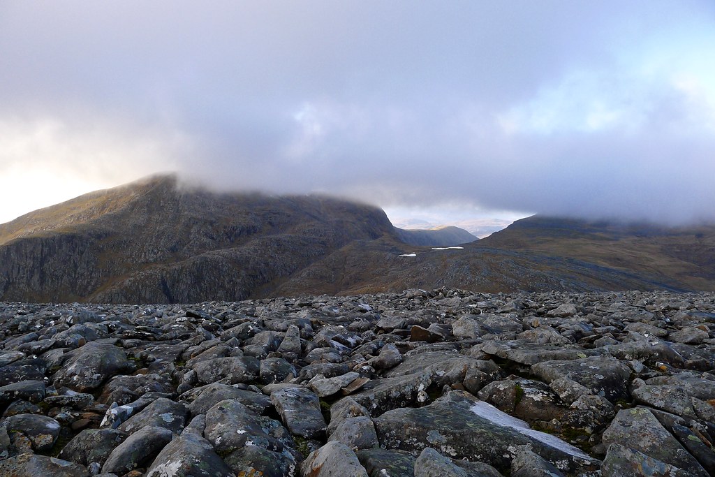
Cloud had drifted in from the south and now the sky was grey and gloomy overhead. I made my way along to the summit cairn and watched as cloud engulfed the summit of Beinn Dearg.
I sat by the summit and enjoyed the change in mood and tone that the clouds had brought about. It was still calm.
By the time I was leaving gthe summit the southern sky was clearing and it looked hopeful that the blue skies would reappear. I again retraced my steps and on a good path was soon dropping back down to the bealach, skirting the top and arriving back at my pack at around 1pm, ready for a late lunch.
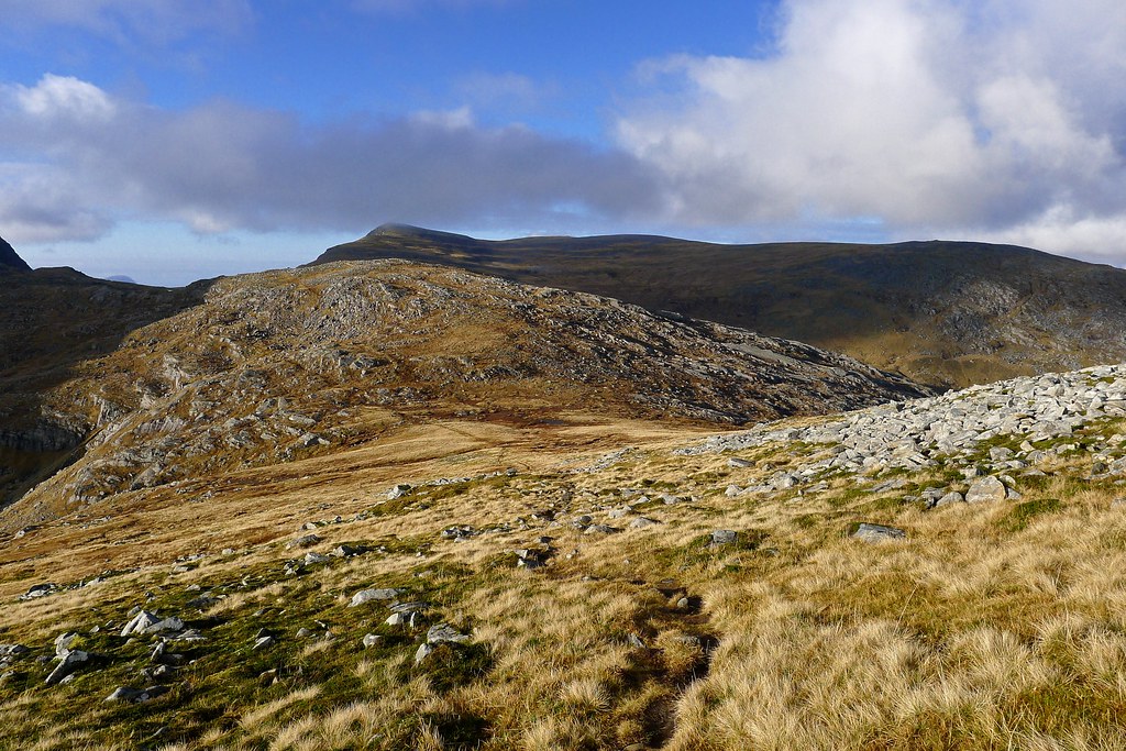
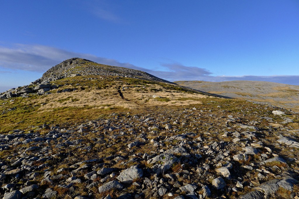
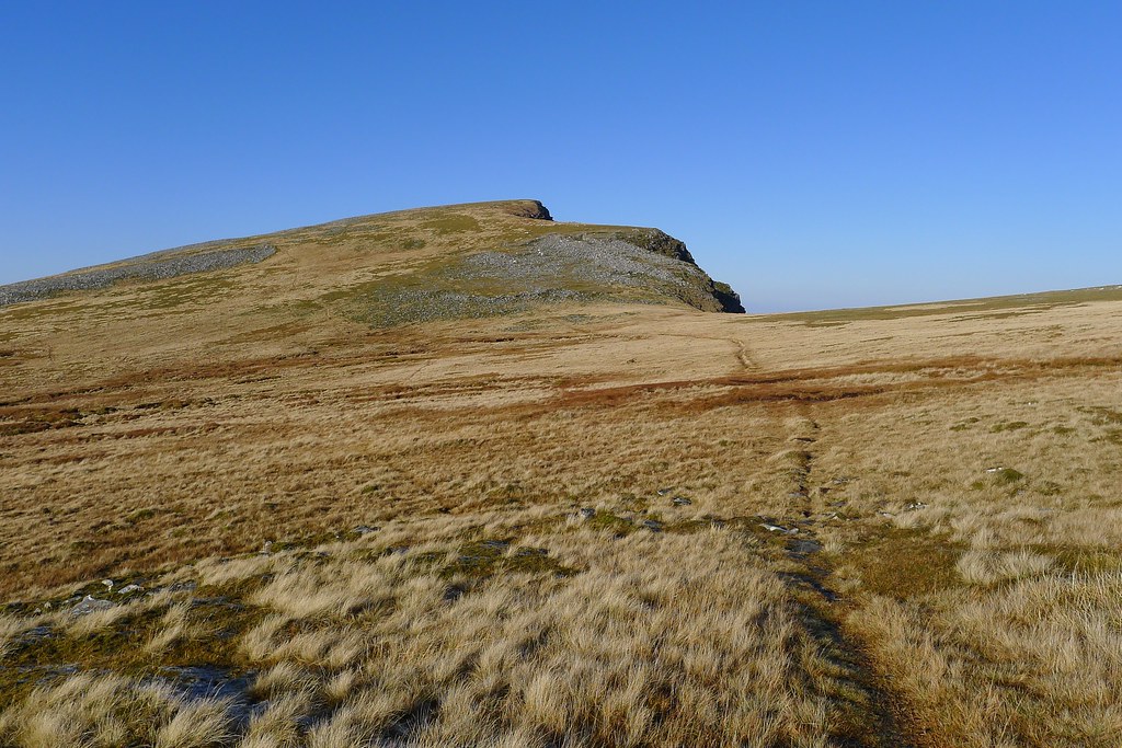
After lunch I once again shouldered my backpack and recrossed the bealach, heading for the gently sloped eastern ridge of Meall nan Ceapraichean. After crossing some boggy ground I soon picked up a pretty distinct track that took me quickly up the hill.
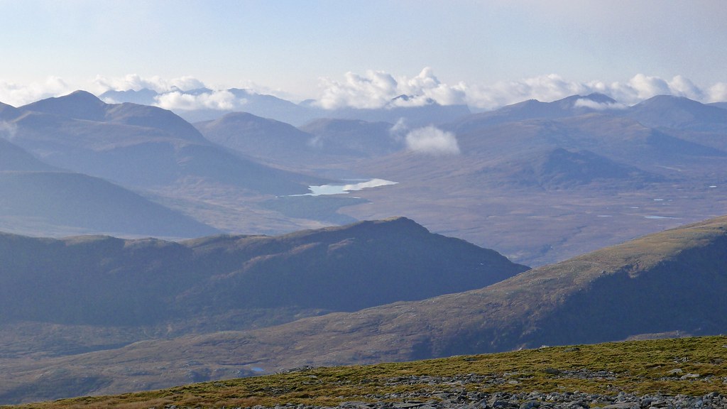
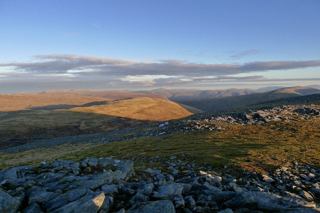
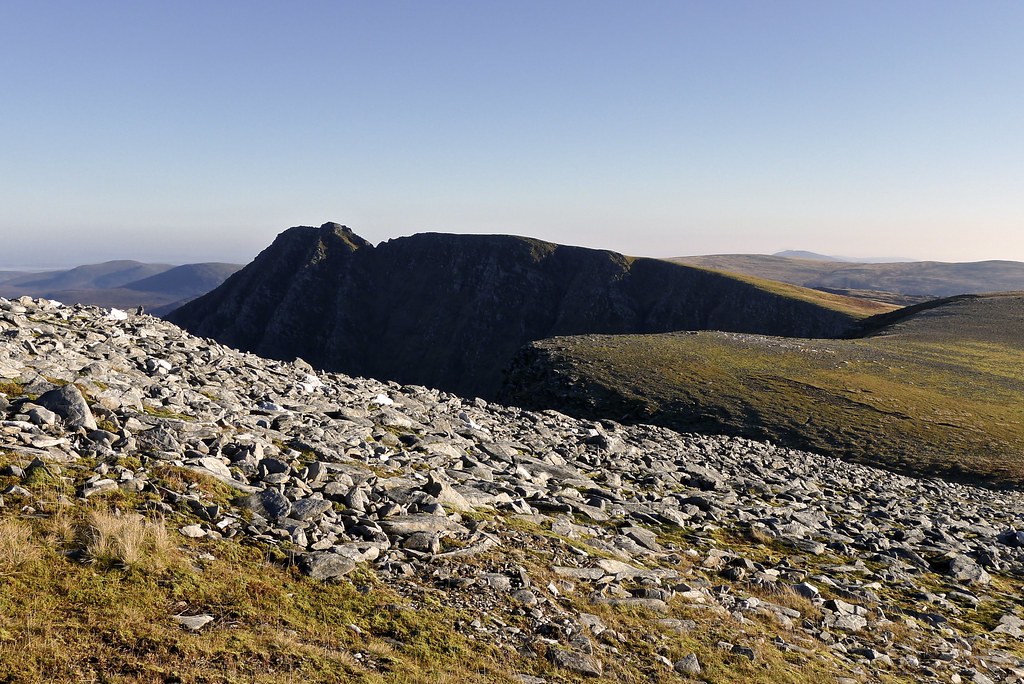
The sunshine was well and truly back and there were fantastic views from the ridge across to An Teallach, down to Gleann na Sguaib and northeast into the wilds of the Freevater forest beyond Loch Tuath.
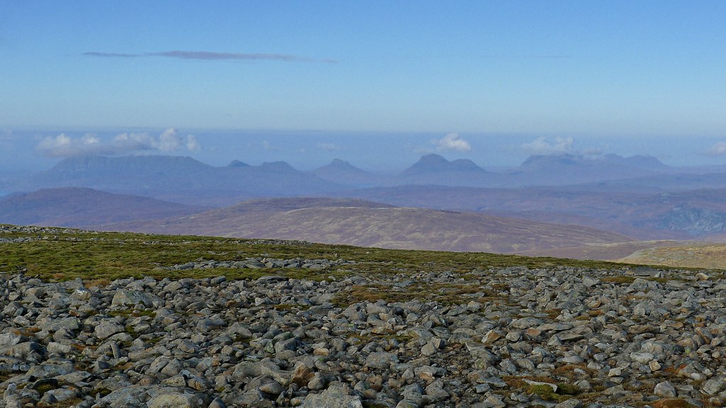
The bealach receded into the distance behind me and soon I was at the summit of the day's third Munro. Meall nan Ceapraichean has a lofty summit and the views were superb, Ullapool and the Assynt hills visible once again.
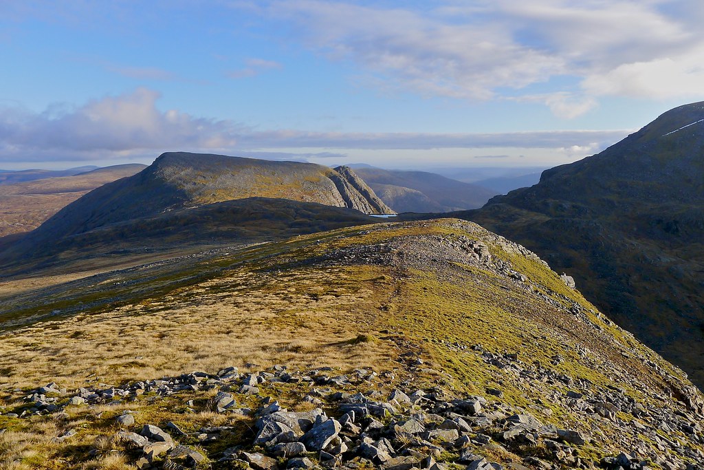
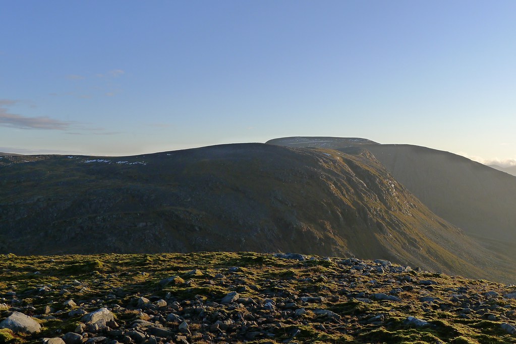
In the sunshine it was easy to follow the route ahead of me and I felt more confident of reaching my planned campsite in time to enjoy the sunset. After enjoying the summit views I followed the curve of the ridge around to the north and was soon looking across the next bealach to Eididh nan Clach Geala, the fourth and final Munro for the day. Further off Seana Bhraigh was now looking much closer, the final rise of a bleak moorland that stretched further off to the east.
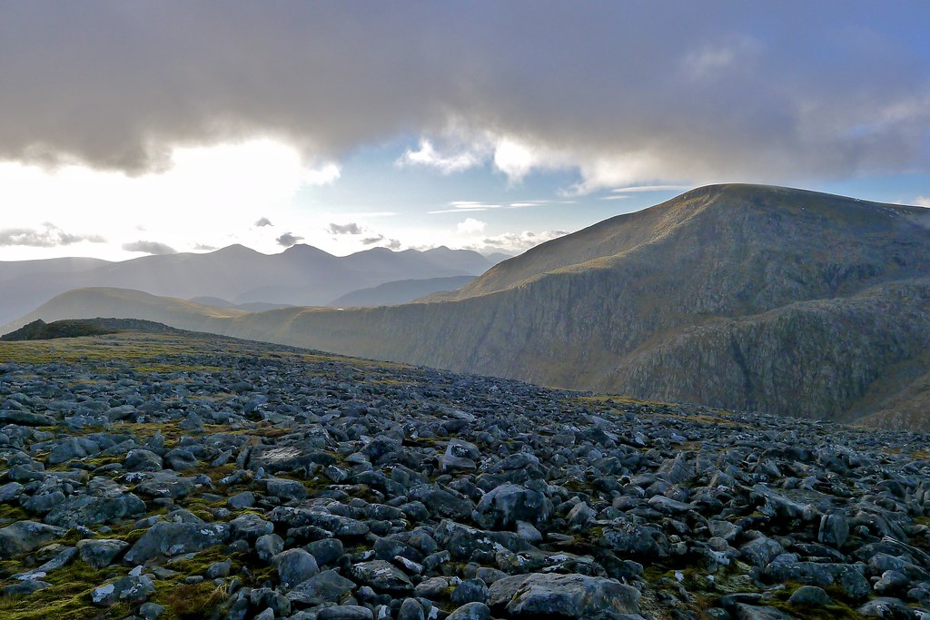
The upper part of the descent was interesting. Once again I was on a cold northern slope and the frosty granite boulders were incredibly slippery. I picked my way down and was very glad when I eventually came on a clear path which ran down to the col at the head of the coire containing Loch a' Chnapaich.
The bealach was easily negotiated and then I was picking my way up the rough slopes of Eididh nan Clach Geala's indistinct eastern ridge. Higher up the way became more defined and soon enough the summit came into view. The light and situation were spectacular.
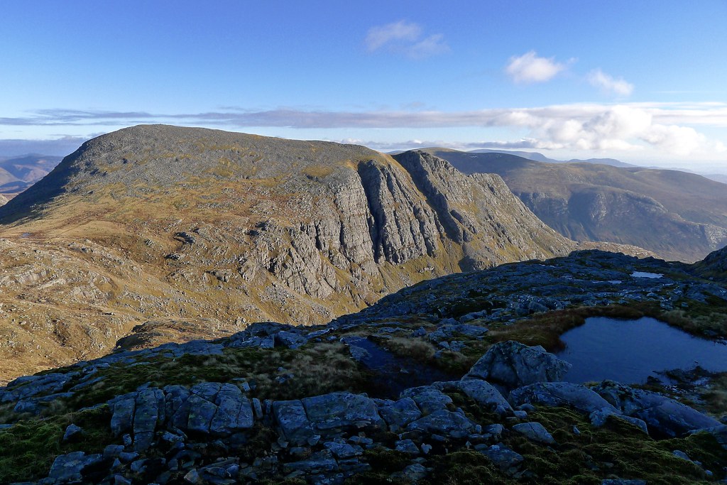
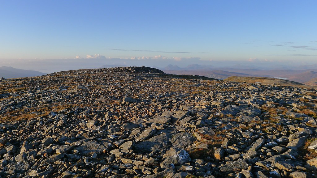
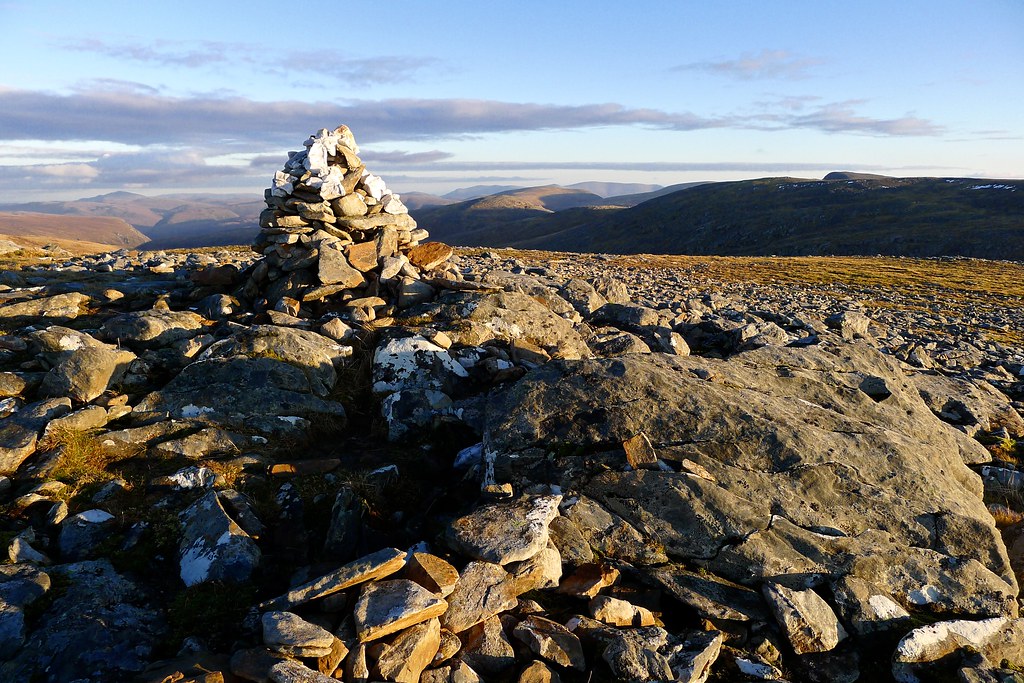
There are two cairned summits a short distance apart with the more northerly one being the true summit. After visiting the southern one I crossed a beautiful area of flat, drained turf (ideal wild camping) and then made my way up to the true summit cairn. From here the views were expansive and I could easily make out the hill's northern top where I planned to camp. Sunset wasn't far off now but I decided I could probably still make it.
After a few minutes enjoying the wonderful views I continued north, picking my way down more slippery rocks and threaded my way down towards a promising looking stream. On the broad slopes further downhill a huge number of deer were idly grazing.
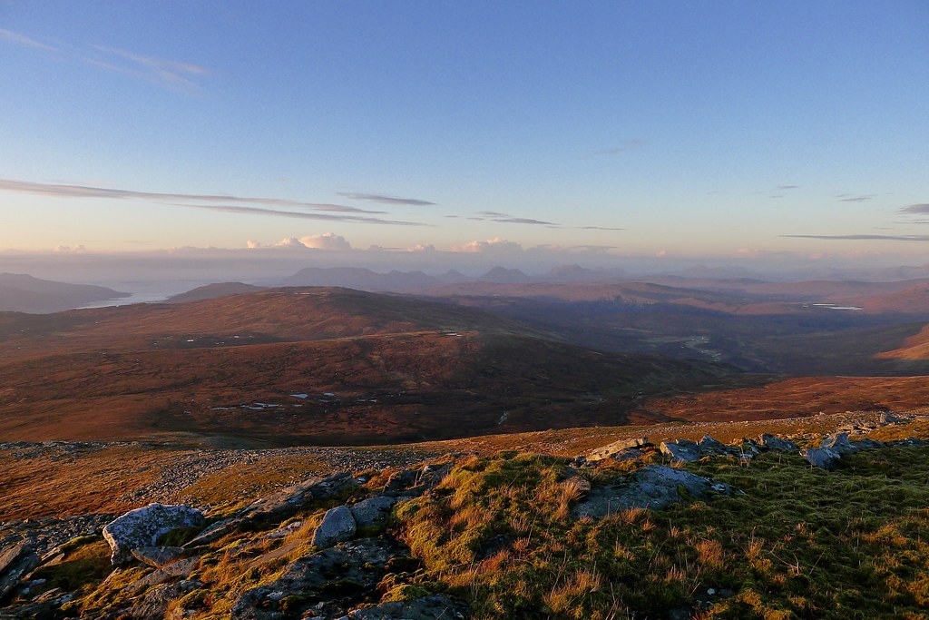
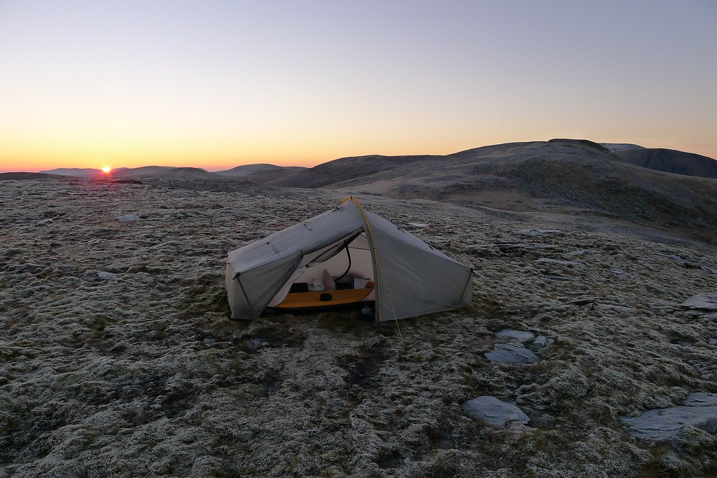
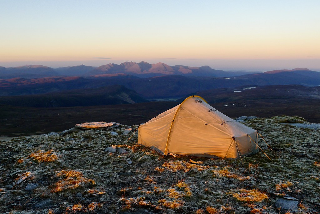
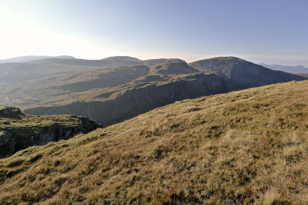
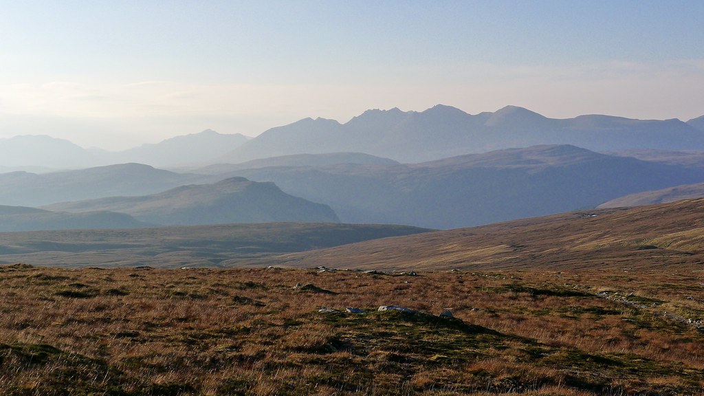
At a clear tinkling stream I filled up my three litre reservoir and then carried this in my arms the final few minutes uphill to the spot where I intended to camp. On arrival I found it pretty perfect - flat, slightly damp moss, with amazing views from the Fannaichs in the south to Seana Bhriagh in the north. Sunset was not far off and already the Assynt hills were fading from ruddy red to sombre grey.
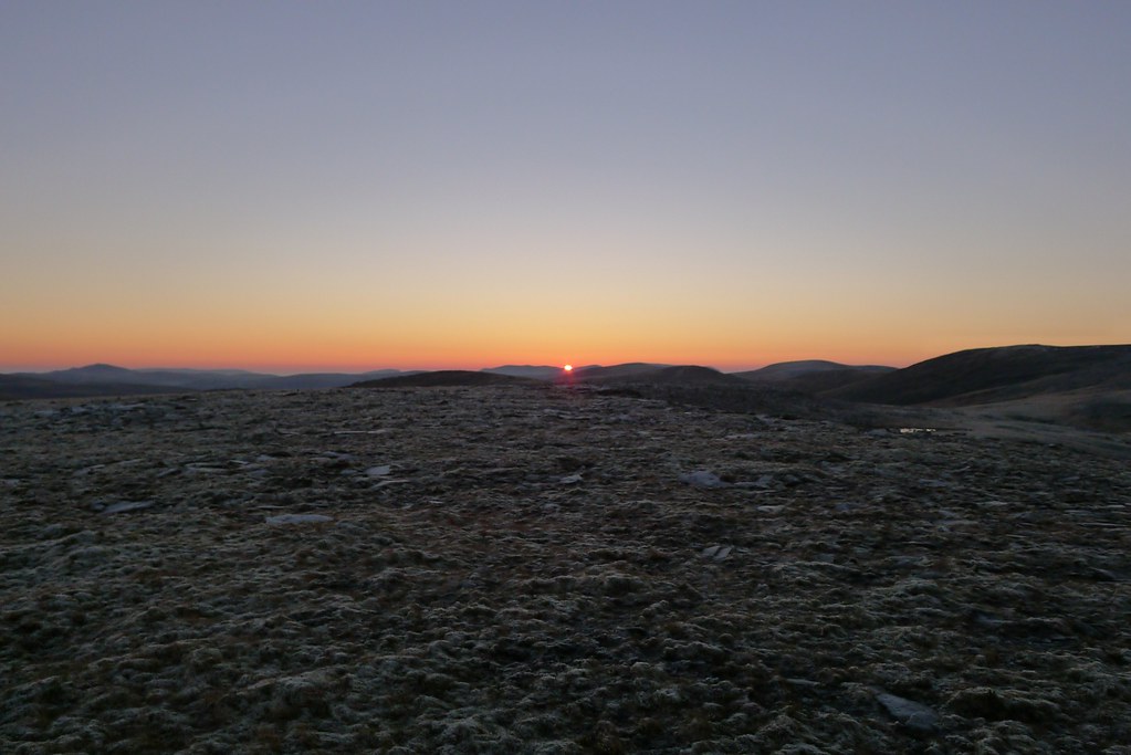
I quickly got the tent up and my things sorted and packed away. There was just the lightest ruffle of a breeze which made the whole process very easy and soon enough I was able to relax and enjoy the last of the day's sunlight as it slipped away beyond the Fisherfield hills.
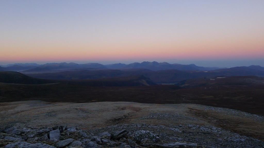
Seana Bhraigh was one of the last hills to hold onto the sunset. It glowed red in the north.
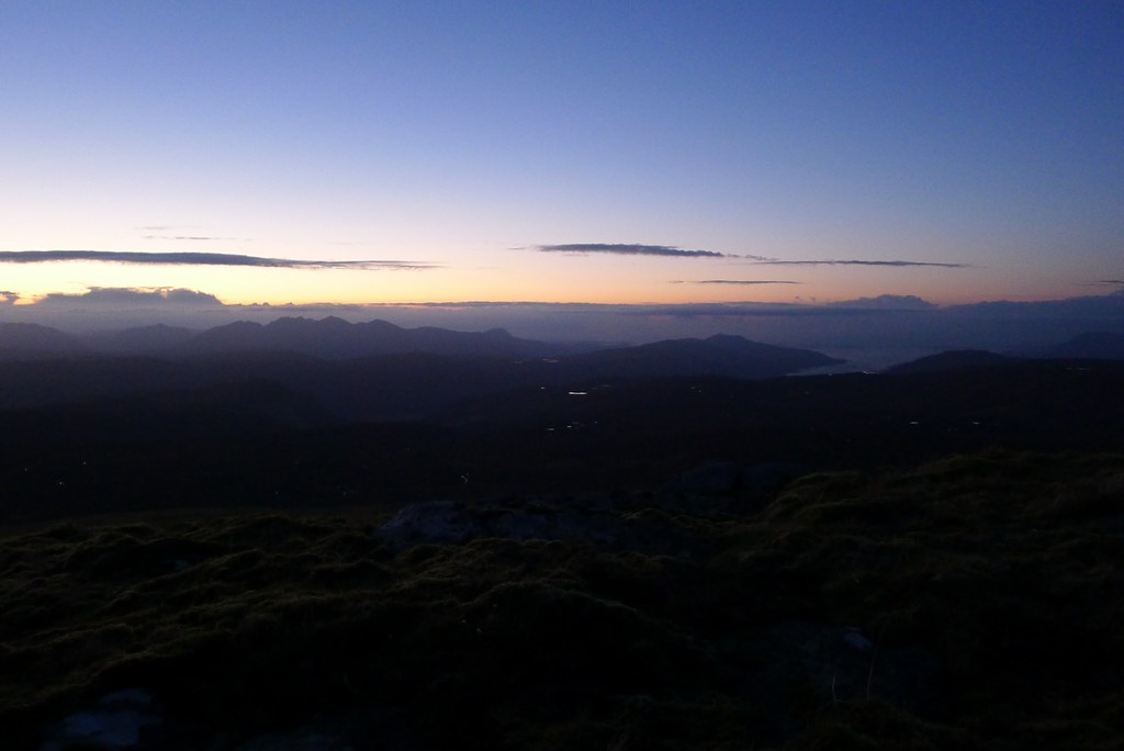
Too quickly though it was gone and with the loss of sunshine any pretence of heat in the day vanished. I pulled on another insulating layer and enjoyed the quiet minutes as dusk fell across the land. Lights started to twinkle in Ullapool and the occasional spot of light picked out the main road in the distance.
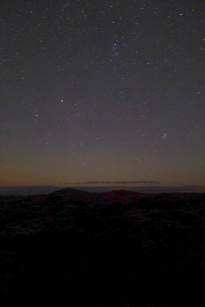
By six it was pitch dark and the sky was awash with stars. The Milky Way arched directly over the tent and I sat back gazing at the night sky. A meteor flashed through the constellation Cygnus.
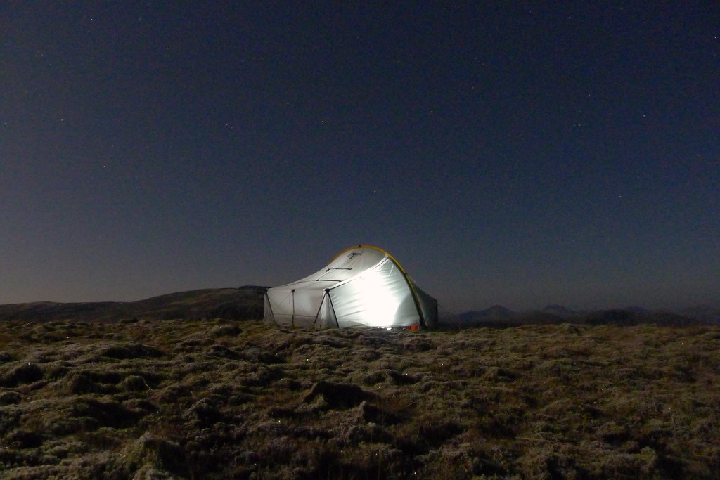
By the time I had had dinner (an extremely delicious spaghetti bolognese from Mountain Trails) a bright moon had risen, banishing the stars. In their place was the sight of an increasingly frosty world as the temperatures dipped.
I was soon wrapped up in my cosy sleeping bag and after a couple of podcasts, and a few chapters of Hell Of A Journey by Mike Cawthorne, fell into a comfortable sleep.
Monday 10th November
Wild Camp on Creag an Lochain Sgeirich to Inverlael
Distance: 23.4km (total: 43.7km)
Elevation: 712m (total: 2,366m)
Hills: Seana Bhraigh (Munro, 927m)
https://www.invertedworld.co.uk/hillwalking/hillwalk/417
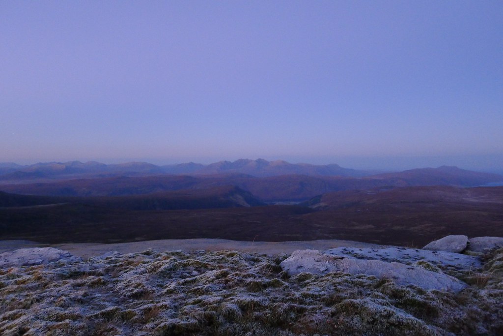
I slept well, though by the end of the night there was a distinctively chill feel even deep in my sleeping bag. At some point a breeze had gotten up and it wasn't until around 7am that I was awake enough to poke my head out for a look. The eastern sky was tinged with orange and a new day wasn't far off.
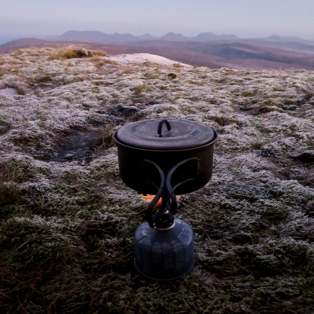
The breeze was coming from the east, side on to the tent, so I zipped open the other side where I found the moon hanging above An Teallach. The world was white with a thick frost and I was soon sitting there with a hot cup of coffee looking out at this cold, quiet vista.
There was mist drifting in some of the lower straths to the north but otherwise it was a clear dawn. I pulled on a couple of layers of insulation, tugged on my hat and got out just in time to watch the sun rise above the hill in the northeast.
It was a fabulous morning with the slow creep of a golden dawn illuminating the hills near and far, until everything was bathed in sunshine.
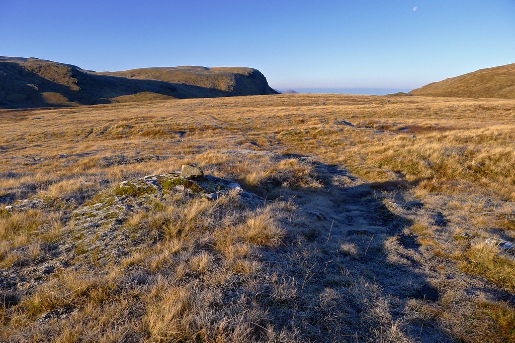
By the time I was packed up the sun had properly risen and the world shimmered and sparkled as the frost in the grass caught the beams of light. Leaving behind a patch of damp ground I was off into the sunrise, heading now for the back of Seana Bhraigh. It didn't appear far away but that belied the complex terrain that lay between myself and my destination.
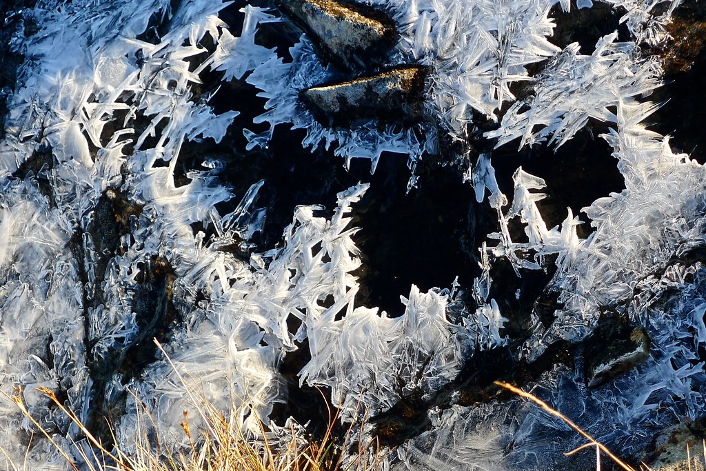
I skirted the edge of the steep drop down into Coire an Lochain Sgeirich, flanked by steep cliffs on this side, and then made my way down besides a series of rocky ledges. I crunched my way through frozen bog and across a few burns covered in ice crystals.
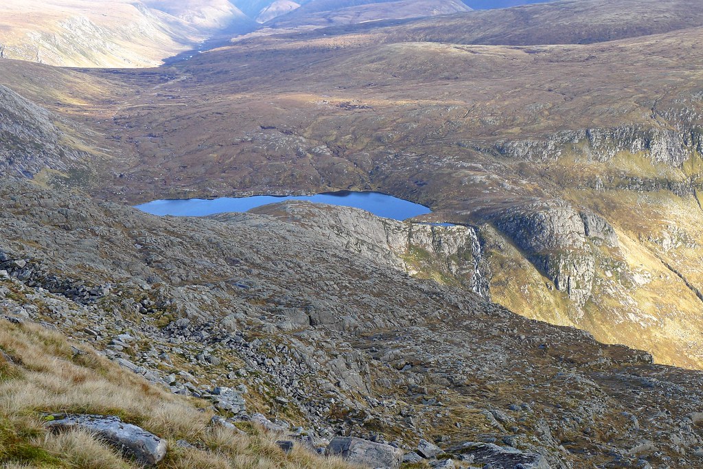
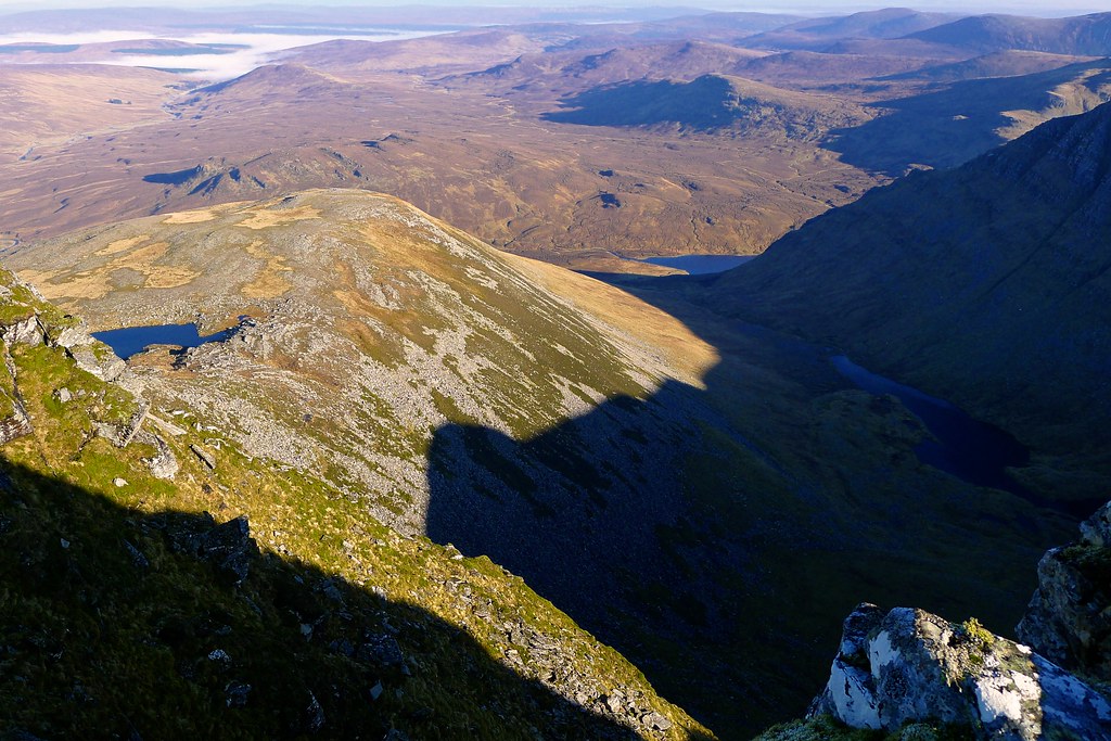
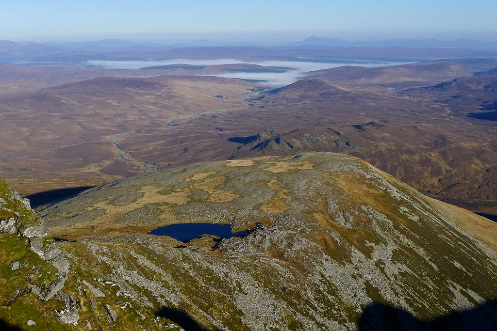
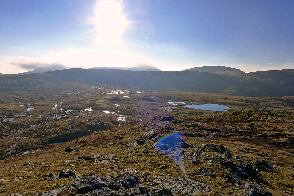
The head of the coire was rough and it was difficult to pick out the best course. I worked my way up past a series of frozen lochans. Looking back I could see above the cliffs the area where I had camped.
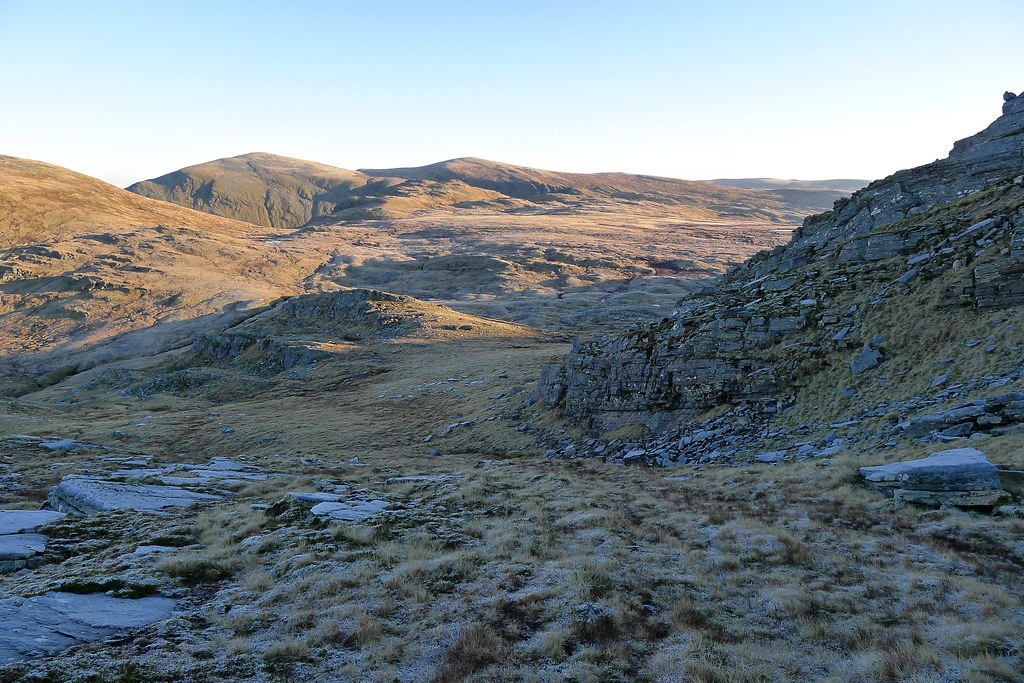
After following a cairned track for a short way I diverted north up a rough hillock until I stood looking out over a deep gully and the Cadha Dearg beyond. This gully was the recommended route on Walk Highlands but from my position it would be almost impossible to descend safely into. Rather than backtrack I returned to the cairned track and followed the fall of the ground down until I could cross across to the bealach at the head of Cadha Dearg. This involved a final scramble down through a rock terrace but progress was easy across the frozen bogs.
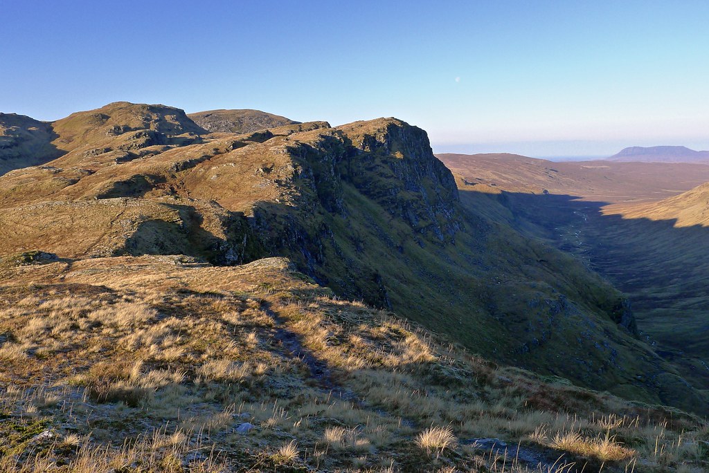
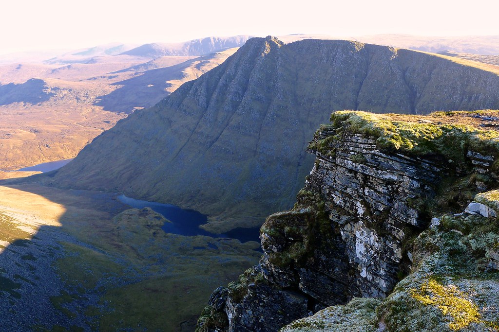
I came to the lip of Cadha Dearg (cadha is narrow ravine in Gaelic), a vast chasm between the Inverlael hills and Seana Bhraigh. Far in the dark bottom the River Douchary starts its journey to the sea. There are steep crags on the south side whilst the more gentle slopes of Seana Bhraigh rise on the north beyond another wall of crags.
This is a popular enough approach to Seana Bhraigh that I picked up a boggy path and followed this up besides a few tumbling streams, the views opening back behind me to Beinn Dearg and An Teallach in the distance.
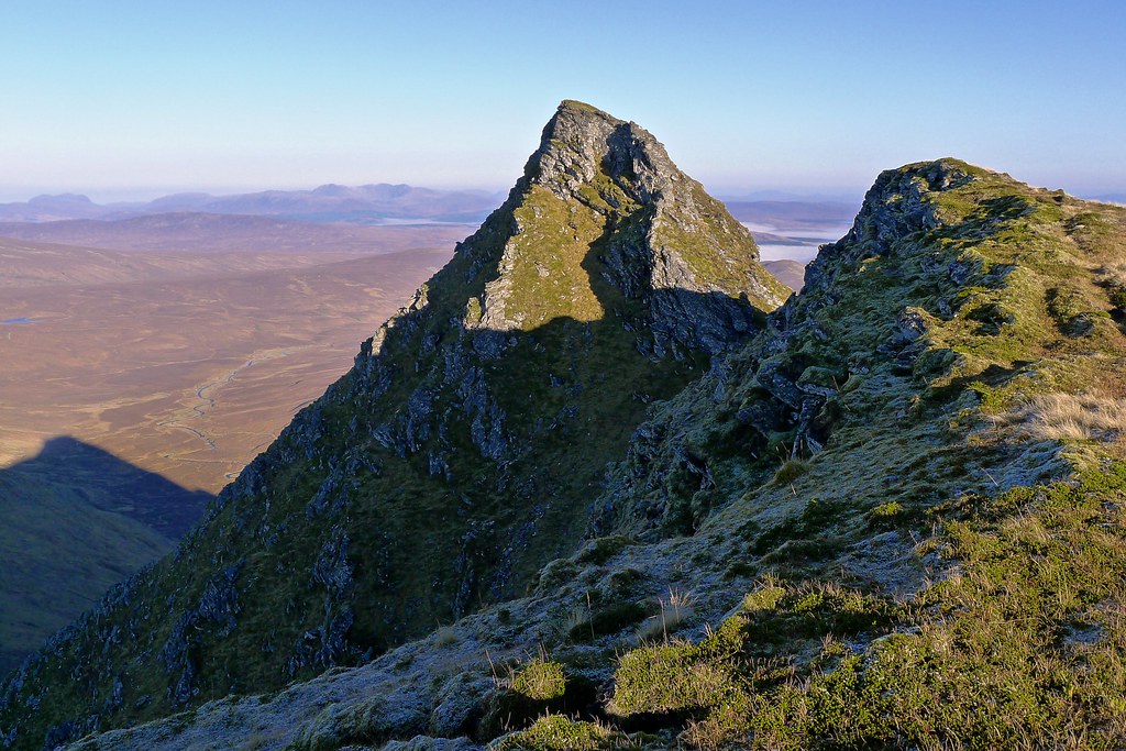
I soon picked up firmer ground and in the warm sunlight plodded steadily up to the cairn on the south top of Seana Bhraigh. Here the high rolling plateau suddenly ends and the views out to the north over moorland and straths opens out in an incredible vista. In the distance Ben Mor Assynt and Ben Klibreck were visible through the early haze. Near at hand the amazing spire of An Sgurr one arm of the mountain surrounding Loch Lochd Coire was dark against the morning light.
The wind was blowing strongly here and so I found a sheltered hollow to stash my bag and went across to explore An Sgurr. The classic round of Seana Bhraigh involves an airy 600m scramble up to this peak. This is something I'll do in the future but for now I just wanted a look at this rock steeple. The ridge narrows to an exhilarating knife-edge arete dropping to the base of An Sgurr. It was just before the arete that I stopped. The granite was coated in hoar-frost and the wind was gusting enough to make me unsteady on my feet. It wasn't the right conditions, even for the fairly short scramble up to the summit of An Sgurr so I made do with admiring it from this close distance, dreaming of a return visit.
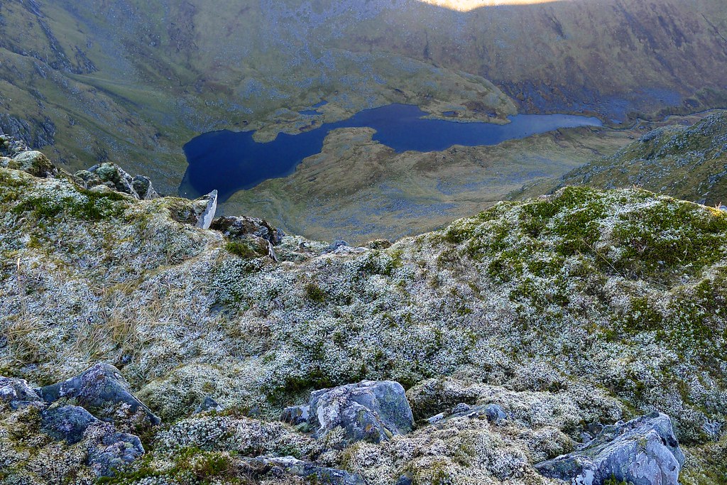
From this lofty perch there were fine views down to Loch Luchd Choire far below, across to the summit of Seana Bhraigh and further out to Assynt and An Teallach.
I retraced my steps back down the ridge and along to my bag, shouldering it before continuing on towards the summit of Seana Bhraigh. The walking was easy on springy turf and moss with just the occasional scattered rock field to negotiate.
Soon enough I emerged on the summit, a wind shelter the most obvious feature of this 927m high Munro. I was on my 182nd Munro summit meaning that I have just another 100 to climb now! I spent some time exploring the summit which drops steeply off to the north with iconic views out northward across Loch Luchd Coire and across to An Sgurr. I recognised the view from my favourite guidebook and set up the gorillapod in order to try and recreate the front cover photo.
The resulting shot gave Cicerone, the book's publisher, the opportunity to have a bit of fun on Twitter.
Everyone needs to do this. #createyourowncover like @nickbramhll's @DanBaileyUKH shot. pic.twitter.com/9bQOWTeyP4
— Cicerone Press (@ciceronepress) November 14, 2014After that I was able to sit down and enjoy a bite to eat, sitting with my back to the wind and admiring the fabulous views all around.
As midday approached I had made up my mind. Rather than continuing on, possibly towards the Corbett of Carn Mor, I would instead finish the trip today and head back to the car. The forecast was for rising wind and lowering cloud and I didn't fancy the possibility of a bleak, viewless day the next day. I left the summit and contoured around the southwest of the South Top, eventually rejoining my ascent track which led me back down to the lip of Cadha Dearg where I refilled my water bottle.
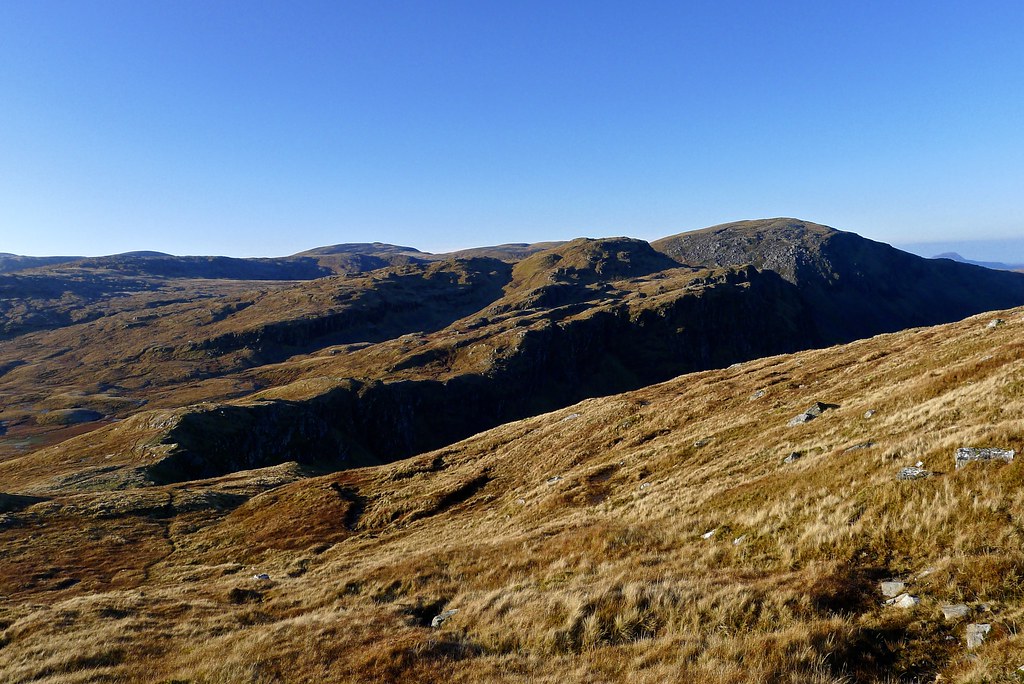
To get back I was intending to follow the gully back up to the bealach. This proved easier said than done as the terrain is very complex with misleading paths and gradients. Eventually though I dropped into the frosty gully and followed it up, eventually leaving it to seek out the sunshine on the minor top of Meall a'Choire Ghlais. Here I had my last good views back to Seana Bhraigh.
There was a little cloud now obscuring the tops further south, including Beinn Dearg, but I was still in the sunshine as I took a last look across the high moors and then dropped down to find the clear track into Coire an Lochain Sgeirich.
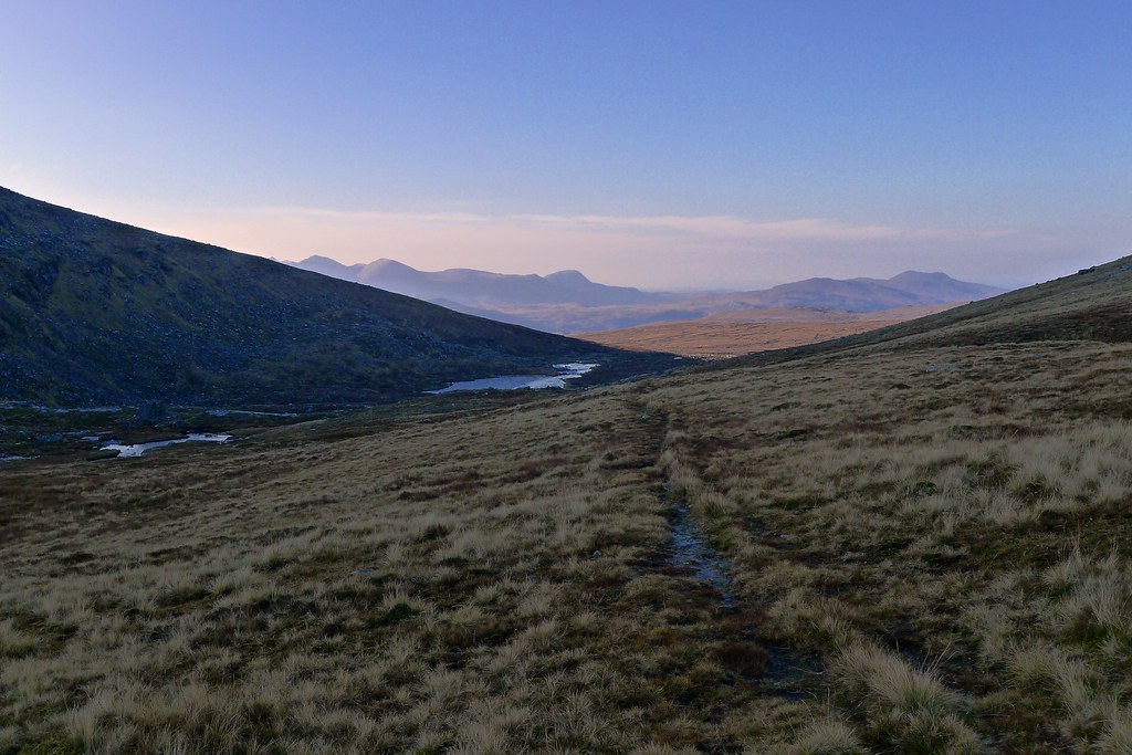
The path proved to be excellent, offering a good surface and excellent views. I worked my way down past a string of lochans and was soon rounding a corner back into sunshine and views ahead to An Teallach. At a point where I had a final view to the summit of Seana Bhraigh I paused for a second lunch, enjoying the warmth and the calmer conditions.
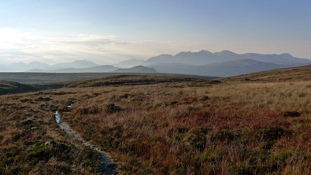
The path now crossed the moorland, dropping eventually to the waters of the Allt a' Mhadaidh. The views to misty mountains were fabulous and the walking was easy. I had views back up to the hills of yesterday and could pick out my campsite.
As I lost height the path got a little boggier until I crossed the Allt a' Mhadaidh and the path turned into a very boggy vehicle track.
This made progress less fun but soon enough I was dropping back down towards the River Lael with views back up to Beinn Dearg which was once again largely cloud free.
I quickly wound my way down the zig-zags and reached the glen floor where I rejoined my outward route. It was now just a couple of kilometres back along to Inverlael and my car, now alone in the car park.
It was already feeling frosty in the glen and the sun had dipped beyond the hills. A gritter passed me as I was sorting my stuff out for the drive home. After a quick message home I was heading back, leaving behind the magic of the west coast. I stopped for a quick breather by Loch Glascarnoch but darkness fell quickly and by Inverness it was very misty. I took it steady, arriving in a dark, foggy Aberdeen a few hours later. It was hard to believe I'd been sitting in sunshine on the summit of Seana Bhraigh just 8 hours earlier.

