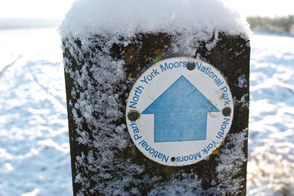
A wintry circular walk from Kildale in the North York Moors taking in remote Baysdale and the high Ingleby Moor.
Date: 28th December 2014
Distance: 26.96km
Ascent: 1,746m
Hills: None
Weather: Cold, sunny with some high cloud and the occassional fogbank
Route: View on OS Maps
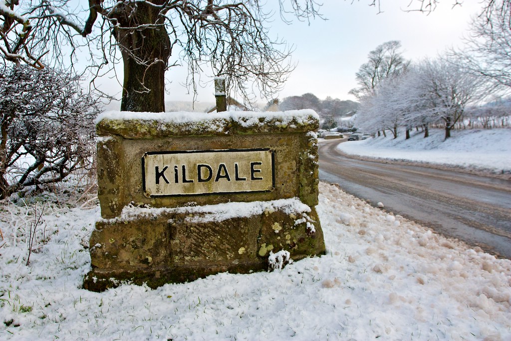
After a rather icy half-hour drive from Northallerton, particularly bad once I left the main road near Stokesley, I found a place to leave the car just outside the village of Kildale in the northern part of the North York Moors National Park.
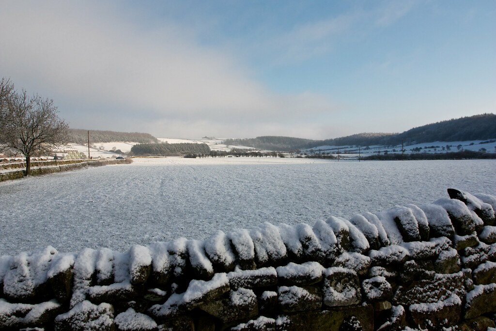
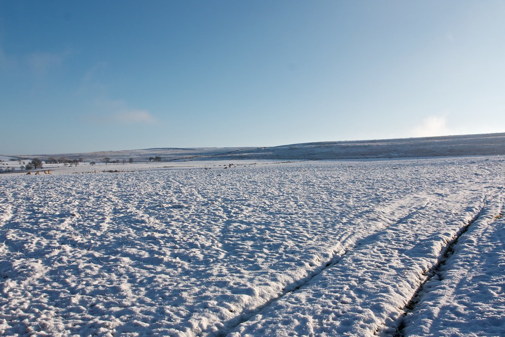
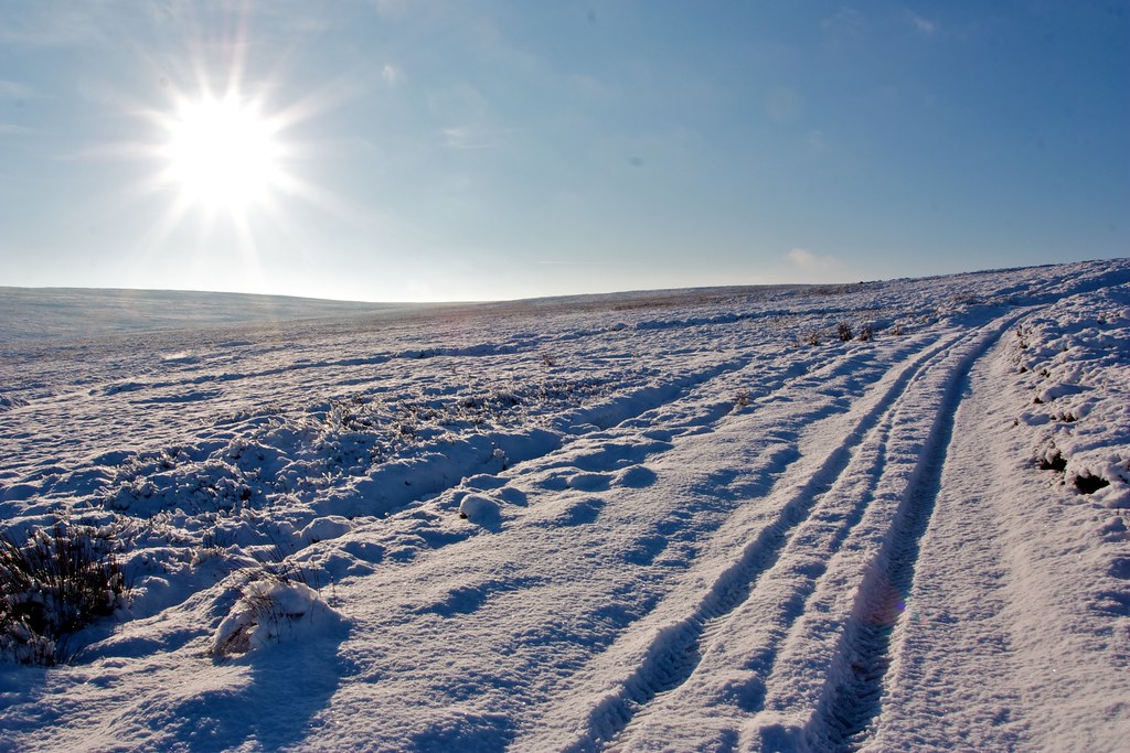
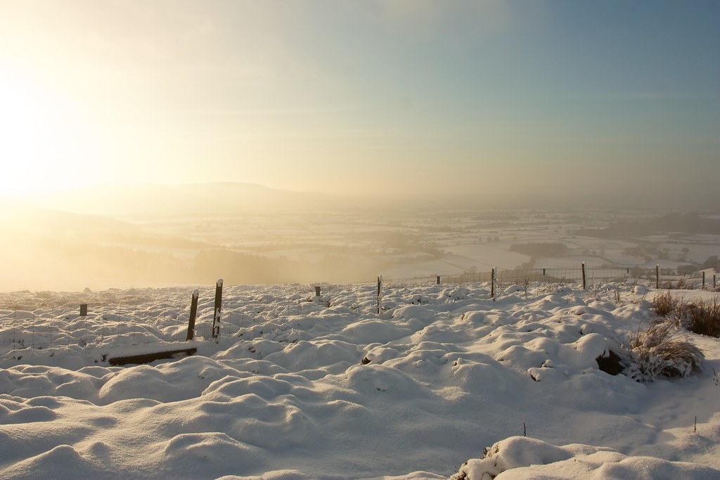
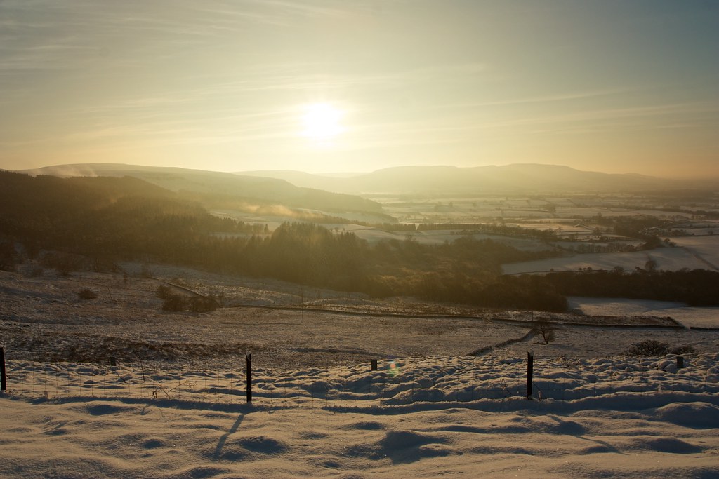
There had been fresh snow overnight and the rather grey world of Christmas had been transformed into a sparkling winter wonderland with snow laden branches and white fields. There had been some mist and low cloud over the Cleveland Hills as I drove along but above Kildale there was increasingly blue skies as I turned off the road to Little Kildale and started the ascent up onto my first moor. Through the close ranked trees of Little Kildale o the sun started to shine.
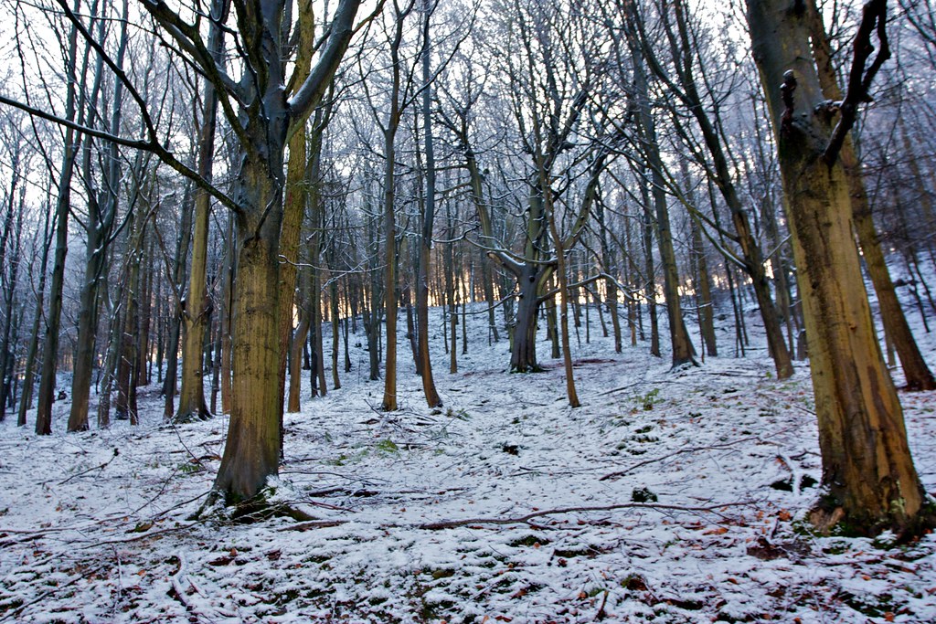
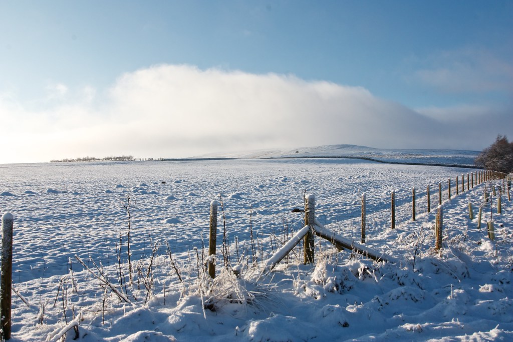
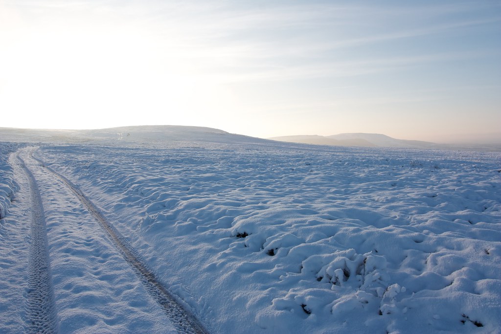
A narrow road took me up the hill from Lower Kildale to finally emerge from the woods and out onto open moorland with a bright sun illuminating the world around me.
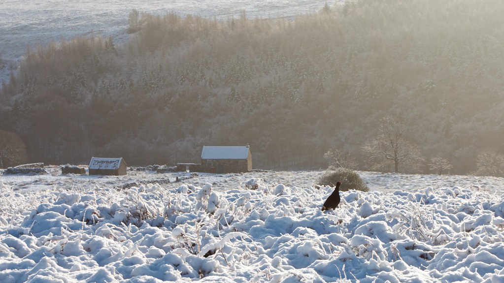
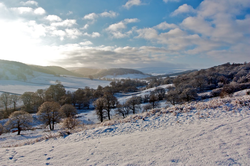
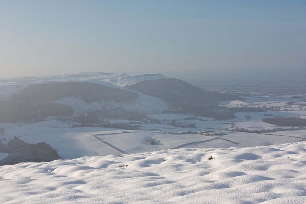
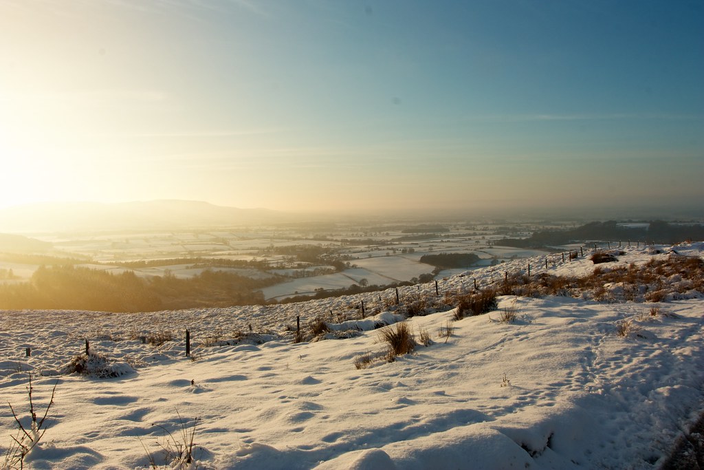
There was a burbling of grouse as they skittered across the snowy fields away from me. I followed the road as it wound its way between fields to Warren Farm and then followed it as it passed the farm, went through a gate, and started to descend to Leven Vale. There were grand views out past rows of trees towards Kildale and Ingleby Moors which were still blanketed by wintry looking cloud.

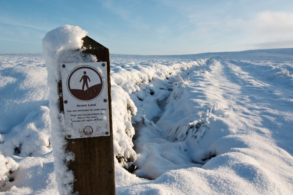
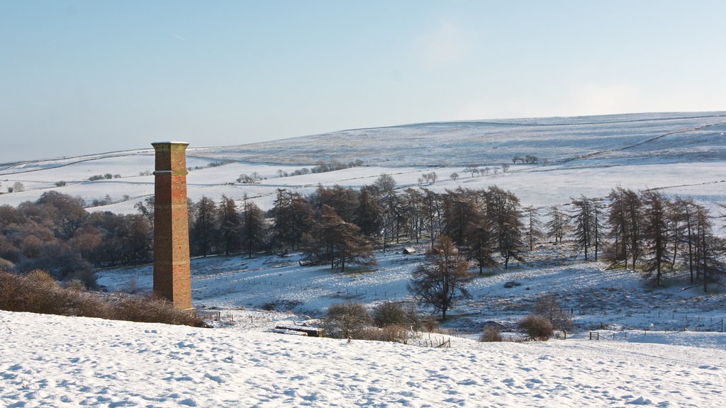
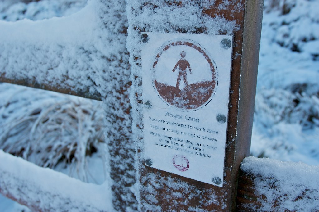
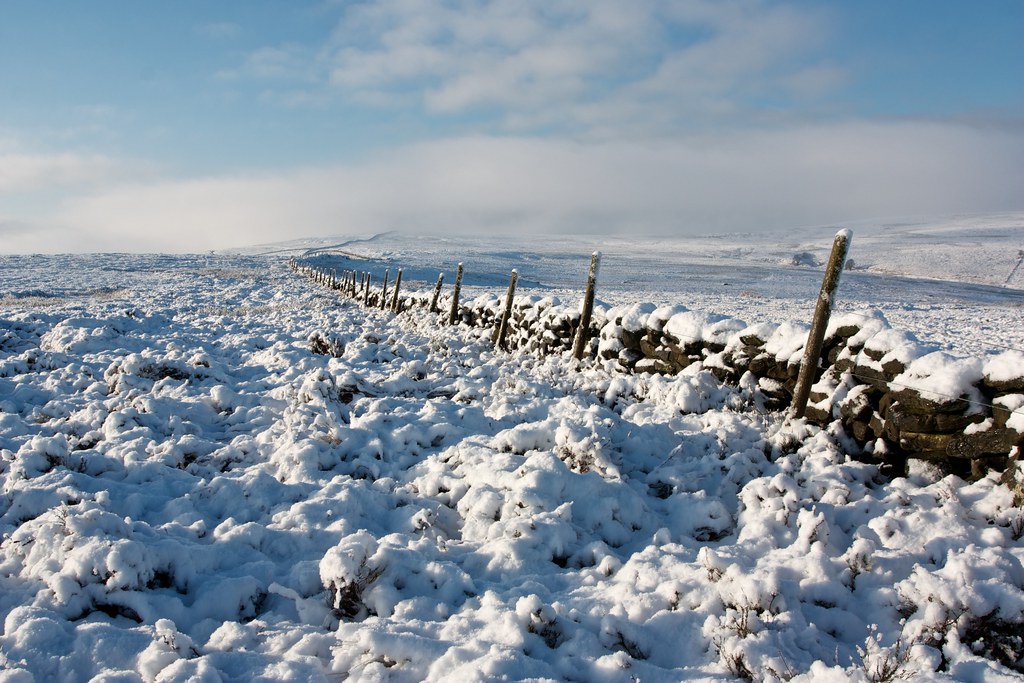
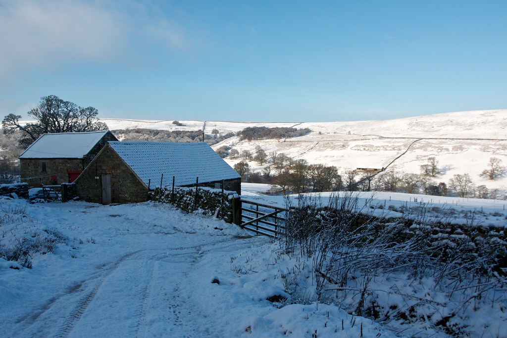
Leven Vale has an industrial past with mine workings and associated railway line. Most of this has disappeared now but the red brick chimney stood proudly against the blue and white of its surroundings. I crossed the beck by a bridge and climbed up the slopes on the other side, following a way marker and the edge of a pasture until I reached the Access Land on Kildale Moor.
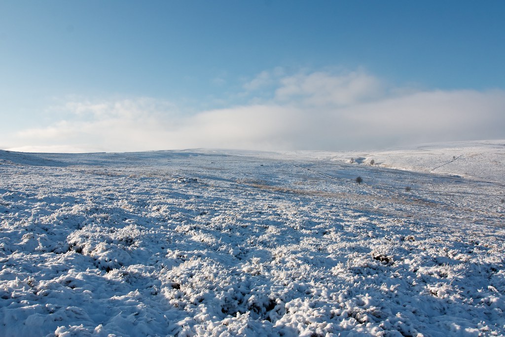
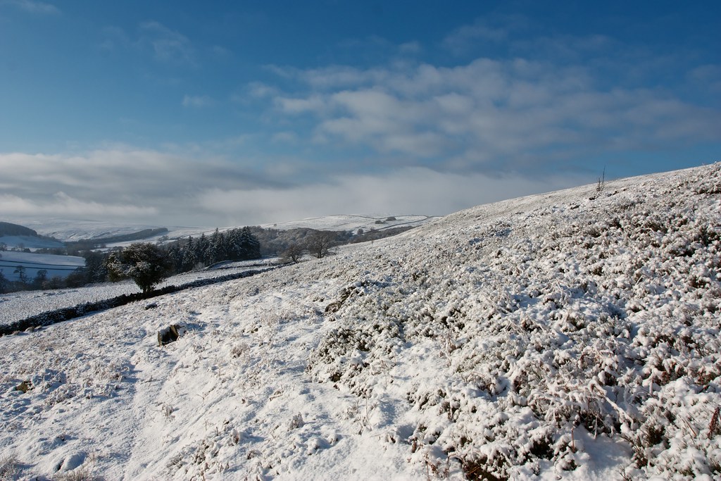
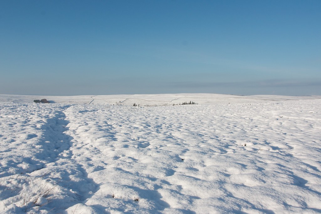
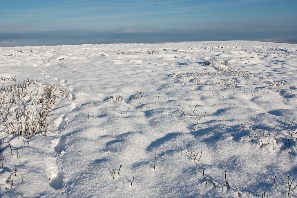
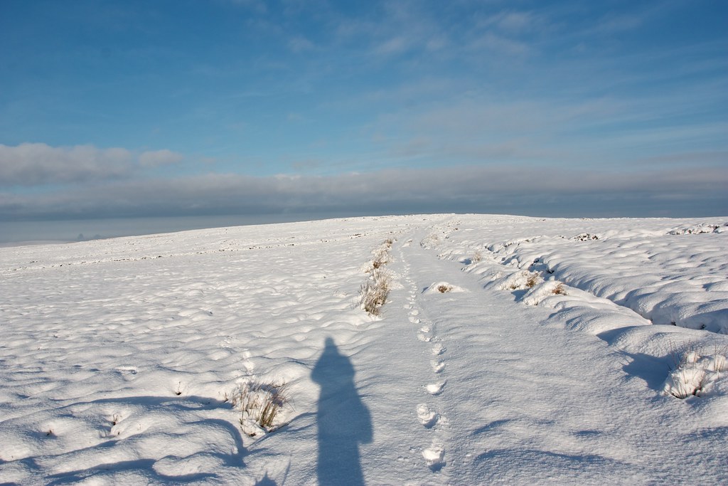
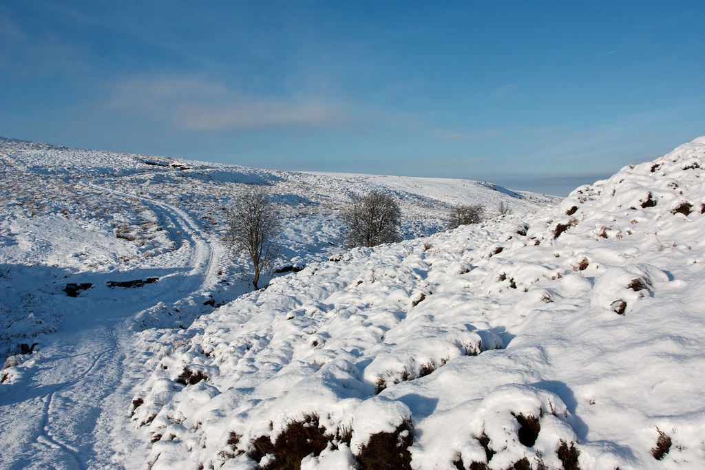
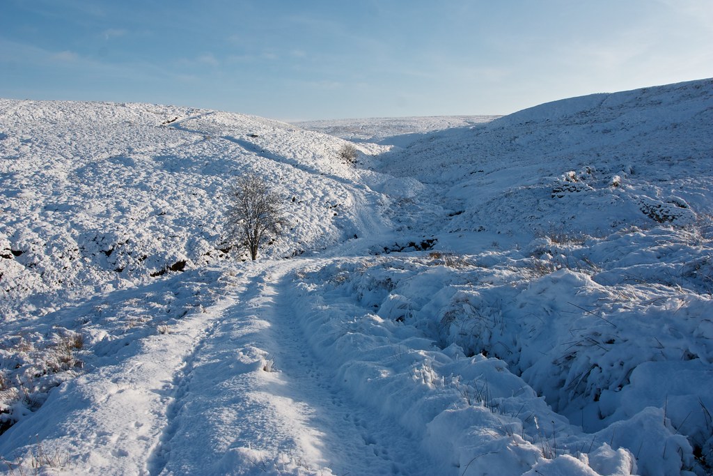
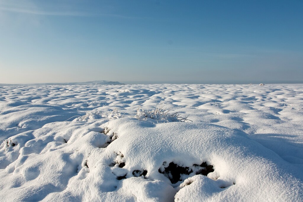
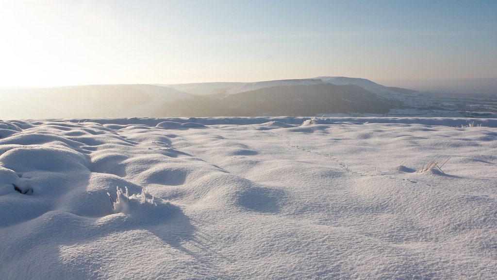
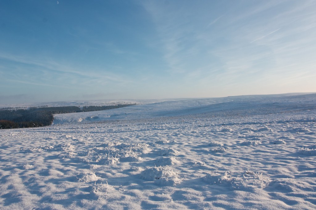
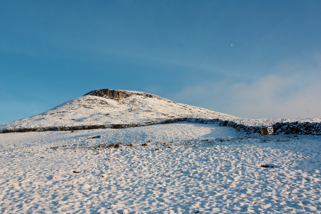
The fields and wide tracks were left behind for a narrow snow-covered footpath that headed up through the heather to the top of Kildale Moor. There were fantastic views east towards Commondale Moor and Danby and west towards the crest of Kildale Moor. After passing through another gate the path angled southeastward and dropped me into Baysdale which was still a little cloudy.
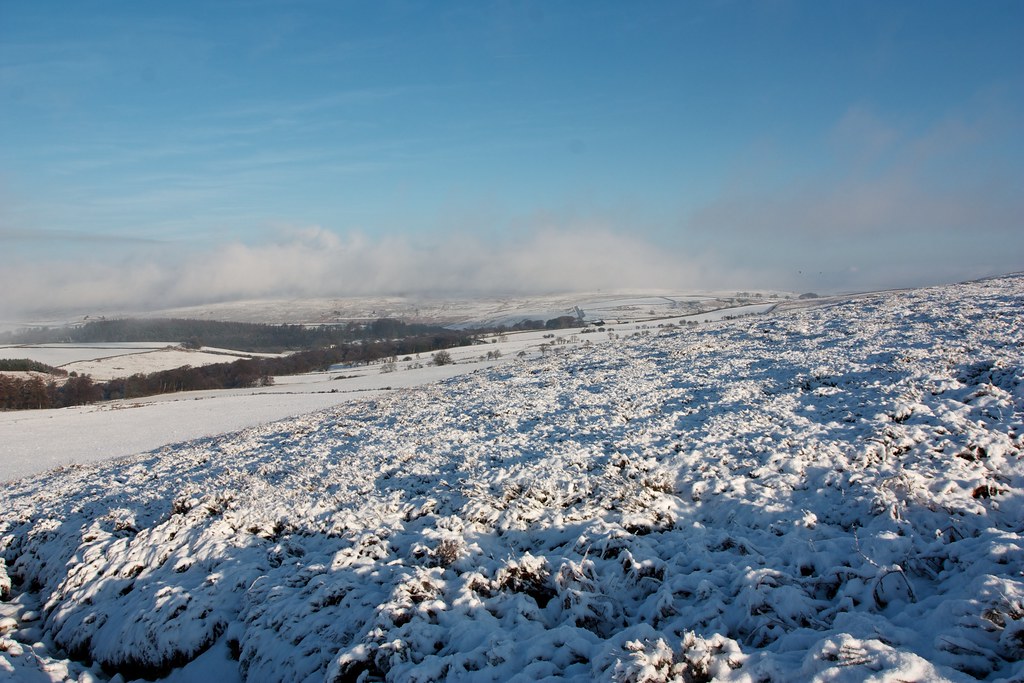
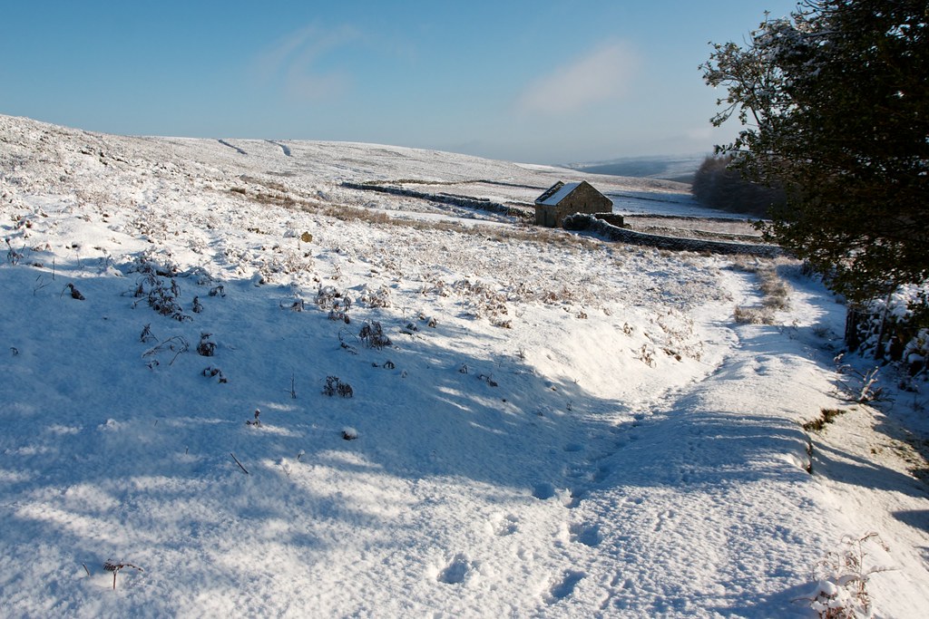
I disturbed what appeared to be a couple of Black Grouse and after a rather slippery descent reached a ruined farm building in Baysdale with signs pointing me onto a Bridleway that would take me west through the dale.
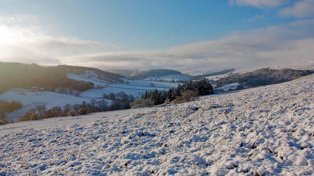
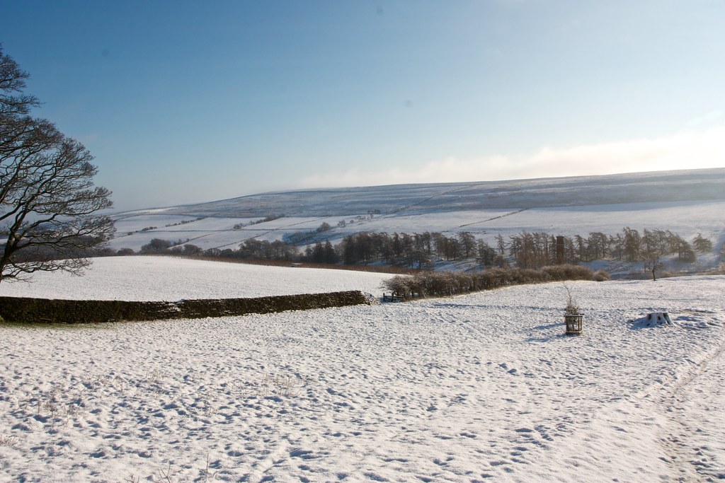
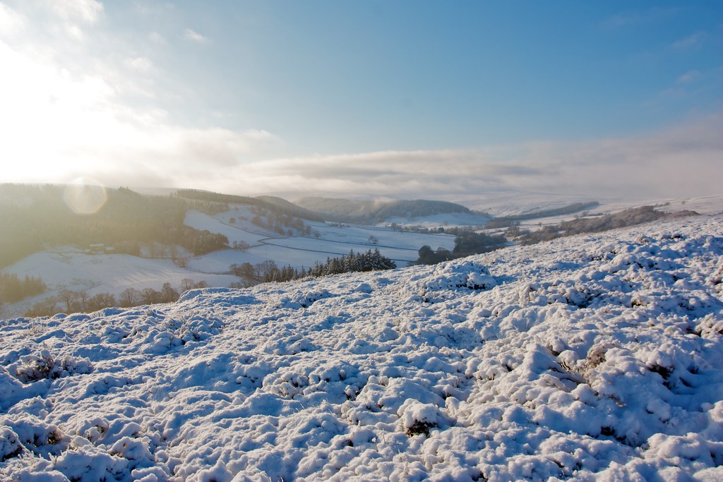
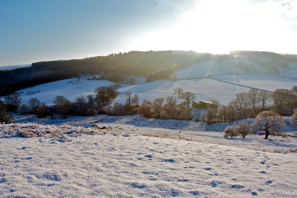
The bridleway undulated along the dale some way up its northern slopes and offered grand views down towards the area of the abbey with the moors white beyond. The going was very pleasant through a few inches of a soft snow with the sun shining brightly as the cloud cleared completely.

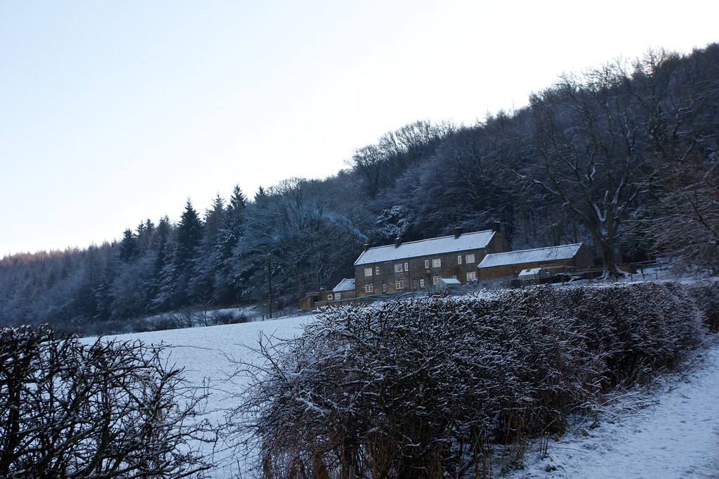
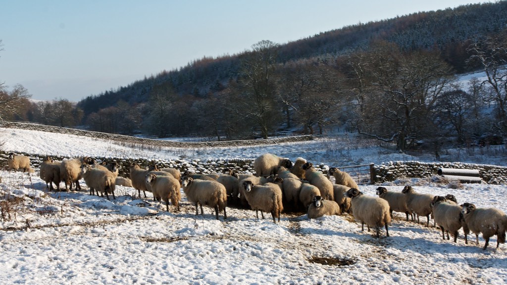
Eventually the way dropped down past a barn and herd of feeding sheep before crossing the Baysdale beck by a bridge. After passing another farm building I took a left turn onto a track that took me up past the Shepherd's House and through a small woodland to climb out of Baysdale and up onto Great Hograh Moor.
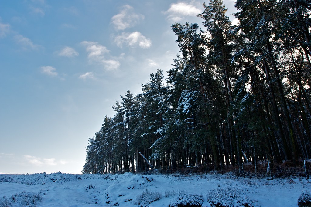
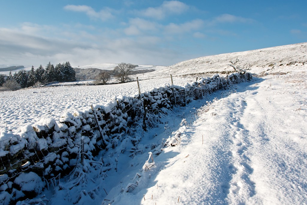
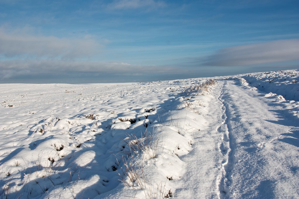
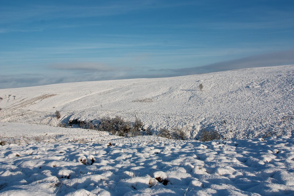
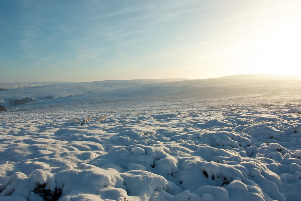
The track, Skinner Howe Road, curved around the side of Holiday Hill and above the line of Great Hograh Beck. It was easy now ambling along on the open moorside and soon there were expansive views across rolling moorland all around me.

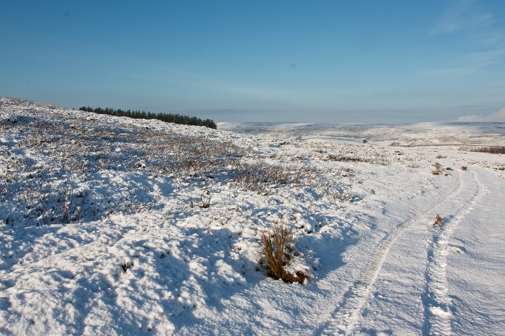
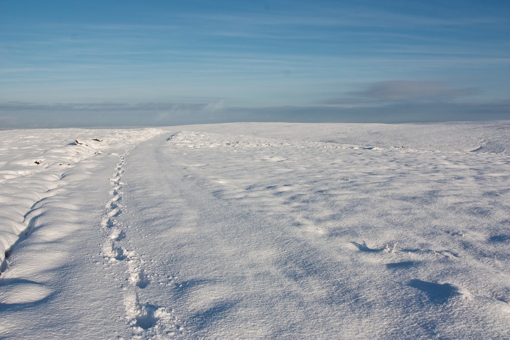
I kept half an eye on the map, negotiated a couple of junctions but was soon following a clear track along the crest of Baysdale Moor heading roughly south. The moors above Westerdale gradually came into view and then there was a point where I had an optional shortcut on a footpath across the moor.
The going was a bit tougher here, the footpath lost under the snow and the terrain soft and lumpy. I wallowed through drifting snow, following a bearing as much as possible until the moorland road came back into view and I rejoined its firmer surface.
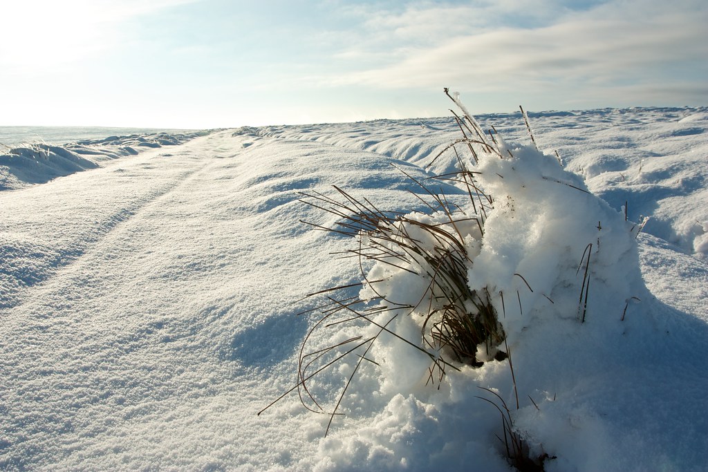
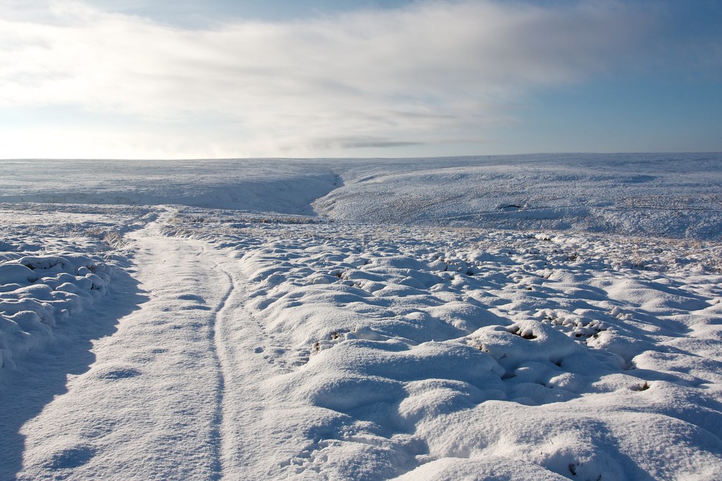
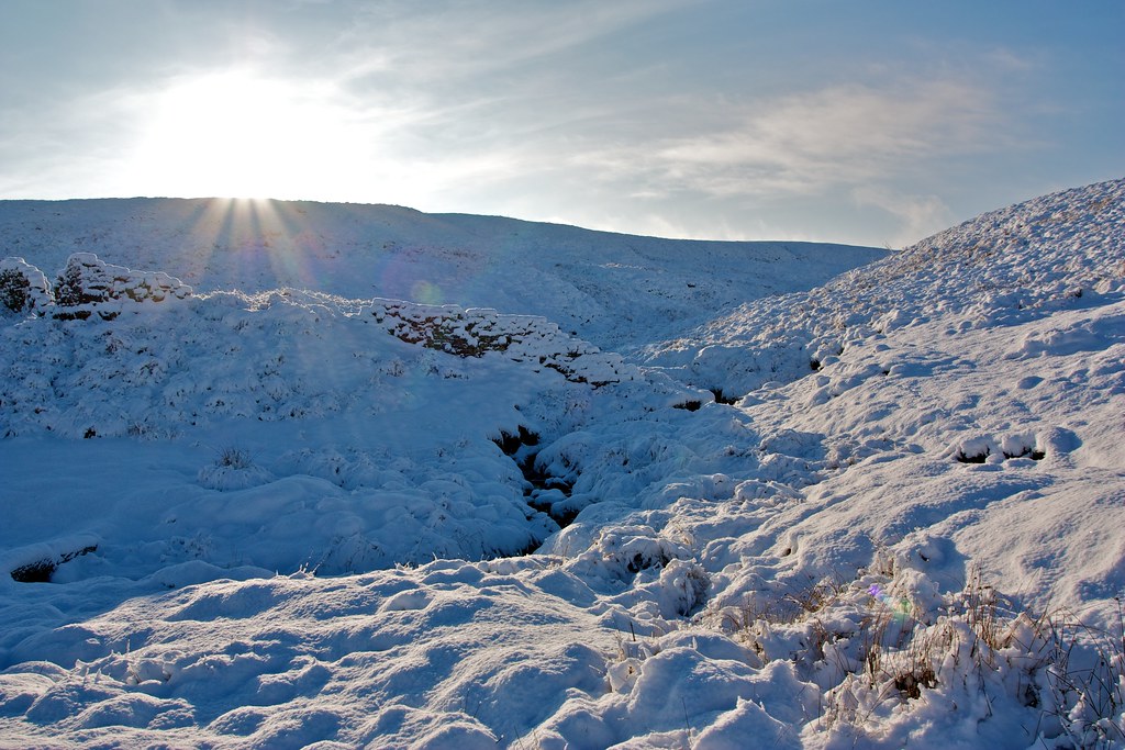
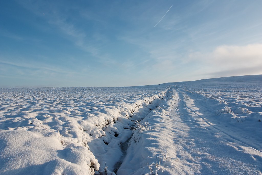
Once back on the track where the snow was a little shallower and much firmer I picked up my pace again and was soon scooting across the high ground of Baysdale Moor. Over on the right the lip of upper Baysdale was a dark slender feature against the mostly white moorland. To the southeast there were brief views down to Westerdale and Stockdale.
After running along the heights for some time the track started to gently descend to the area at the head of Baysdale where the Black Hagg Beck and another smaller stream met, an area known as Armouth Wath. Wath is a Middle English word of Scandinavian origin meaning ford (it has some relation to the English word wade). The track turned a corner and then dropped down to the wath in a short series of turns.
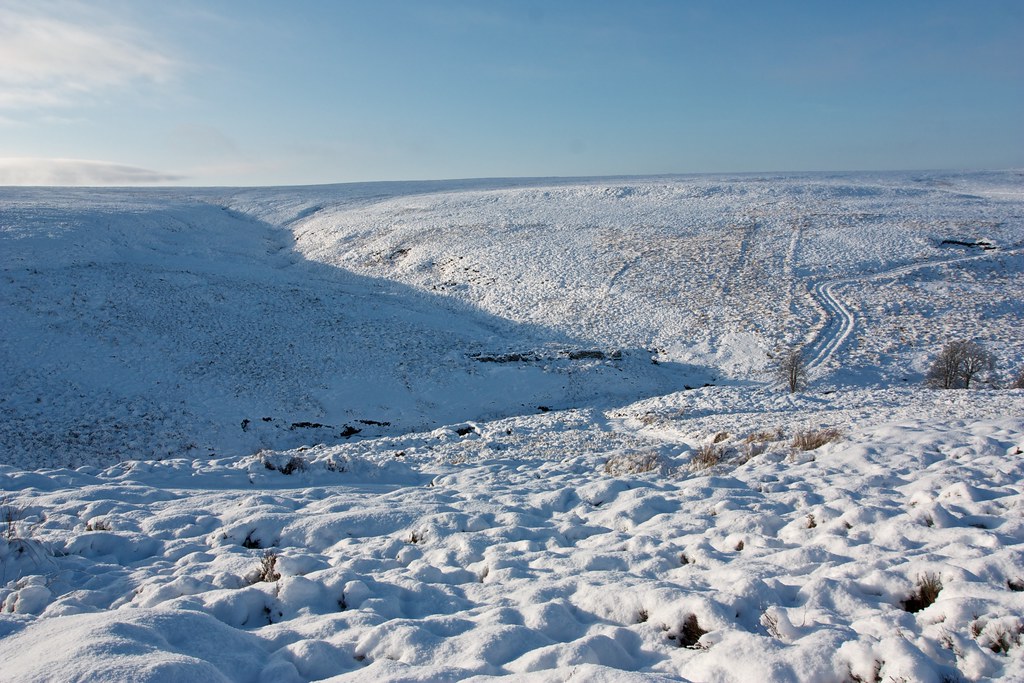
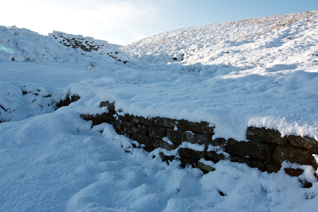
There are a number of ruins here where there used to be mine workings and after a brief exploration of these I found a spot in the sunshine just above the beck where I stopped for lunch. It was about 1pm and the sun was almost warming down in this sheltered area below the high moor.
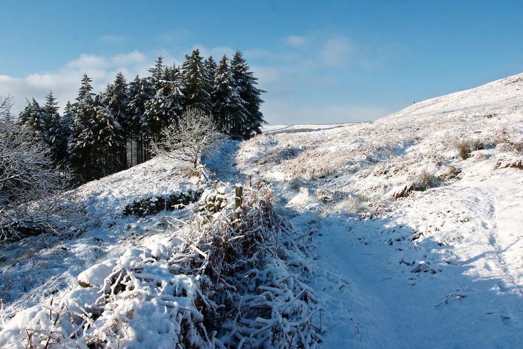
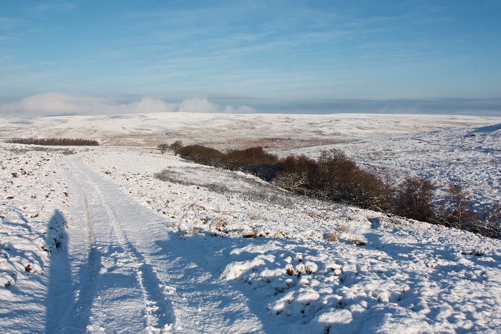
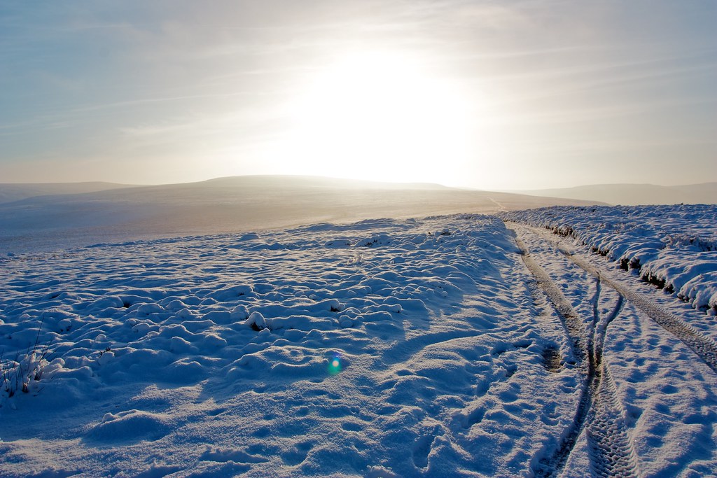
After a very pleasant and relaxed lunch I headed up the ‘flagged track’ - though its supposed flagged nature was hidden by snow - which angled away from Armouth Wath and soon enough found myself back on the higher moor.
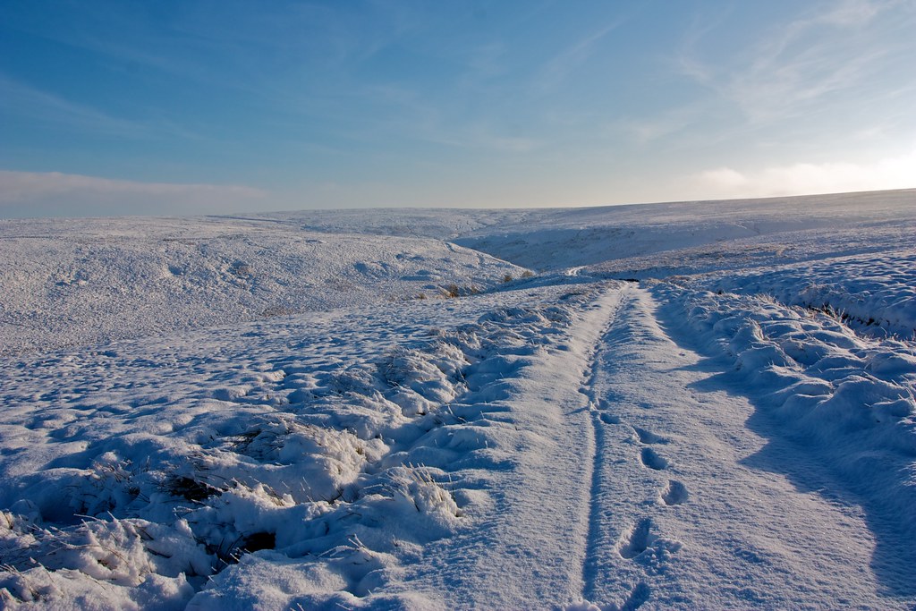
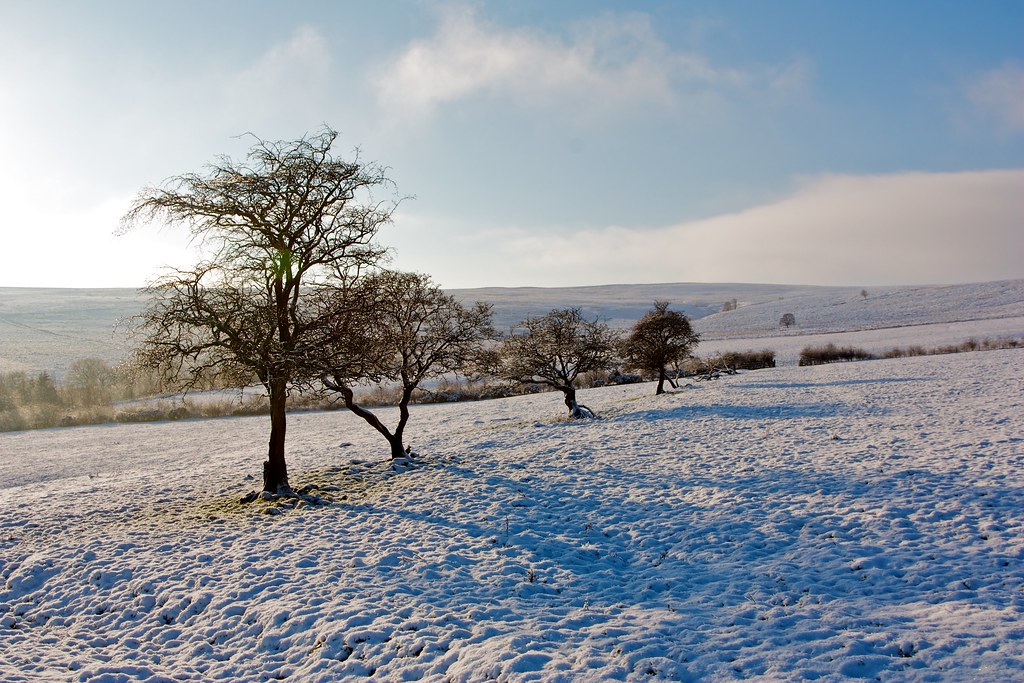
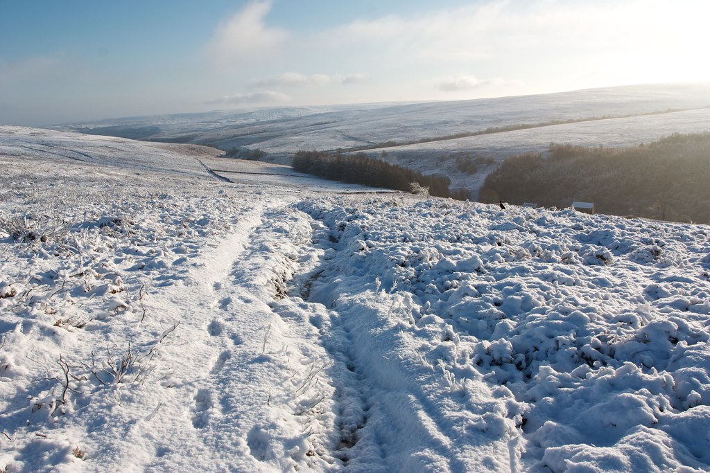
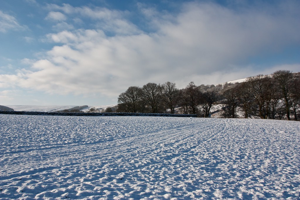
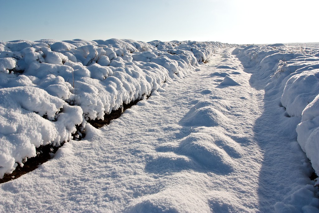
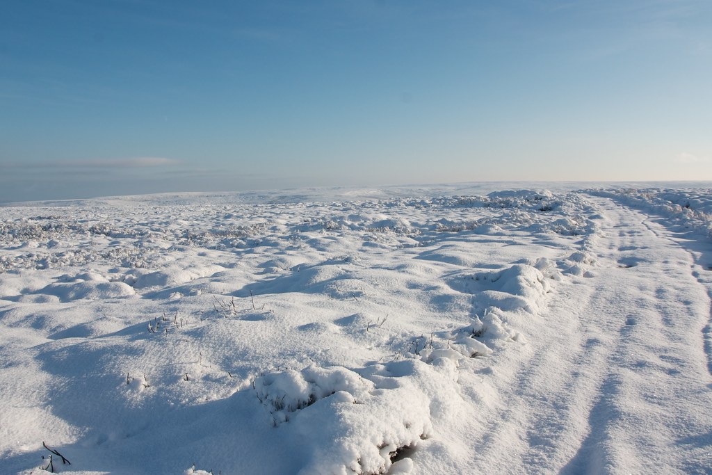
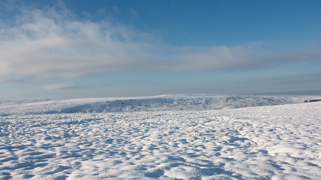
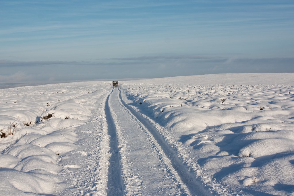
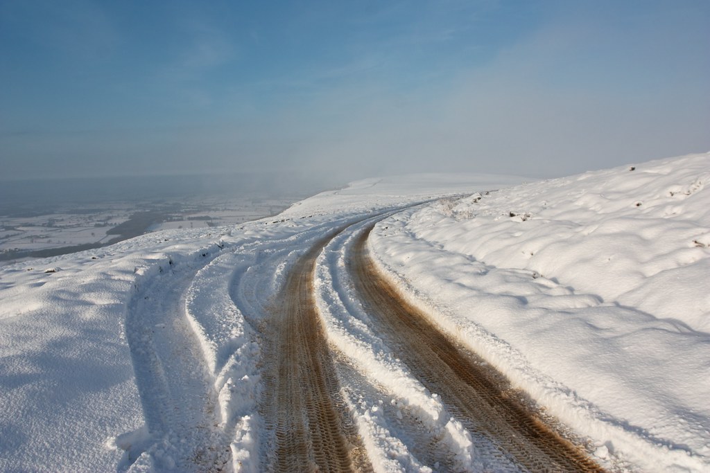
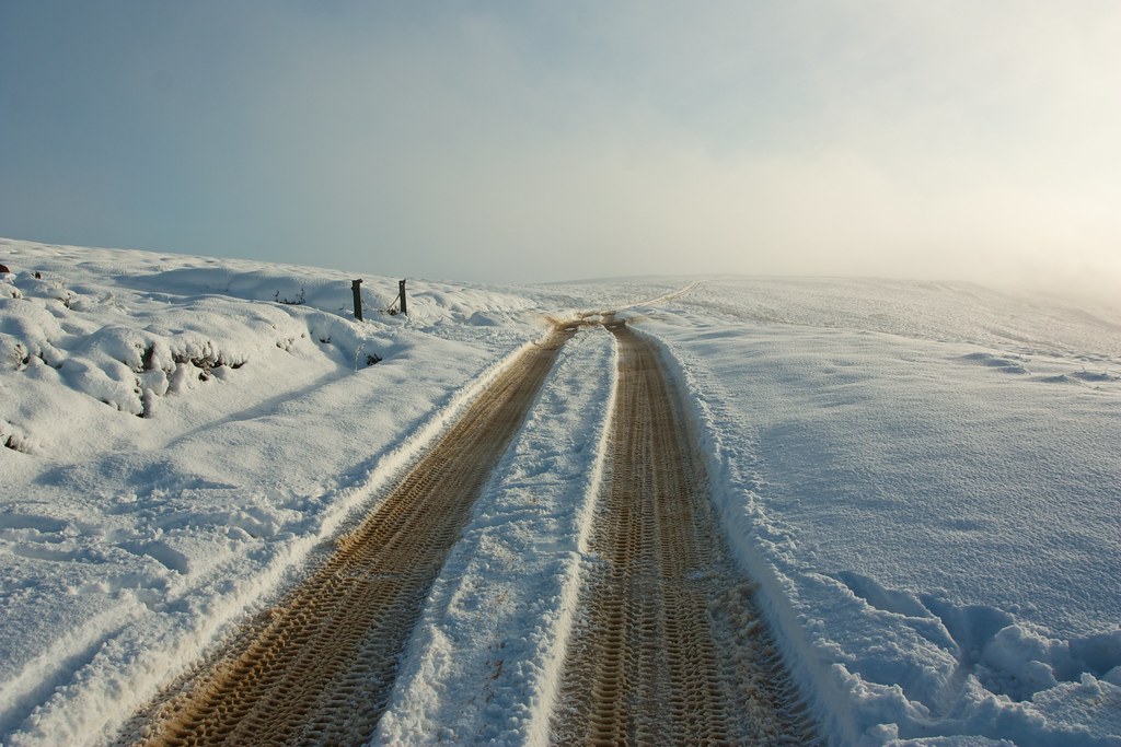
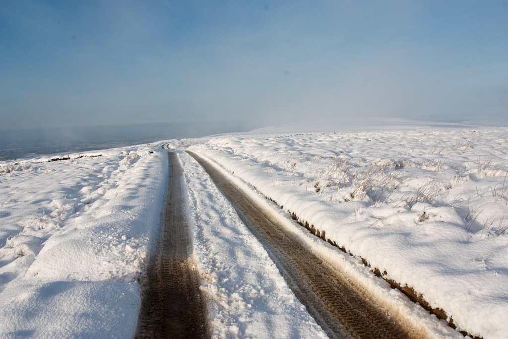
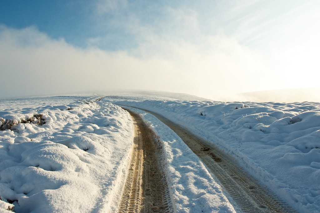
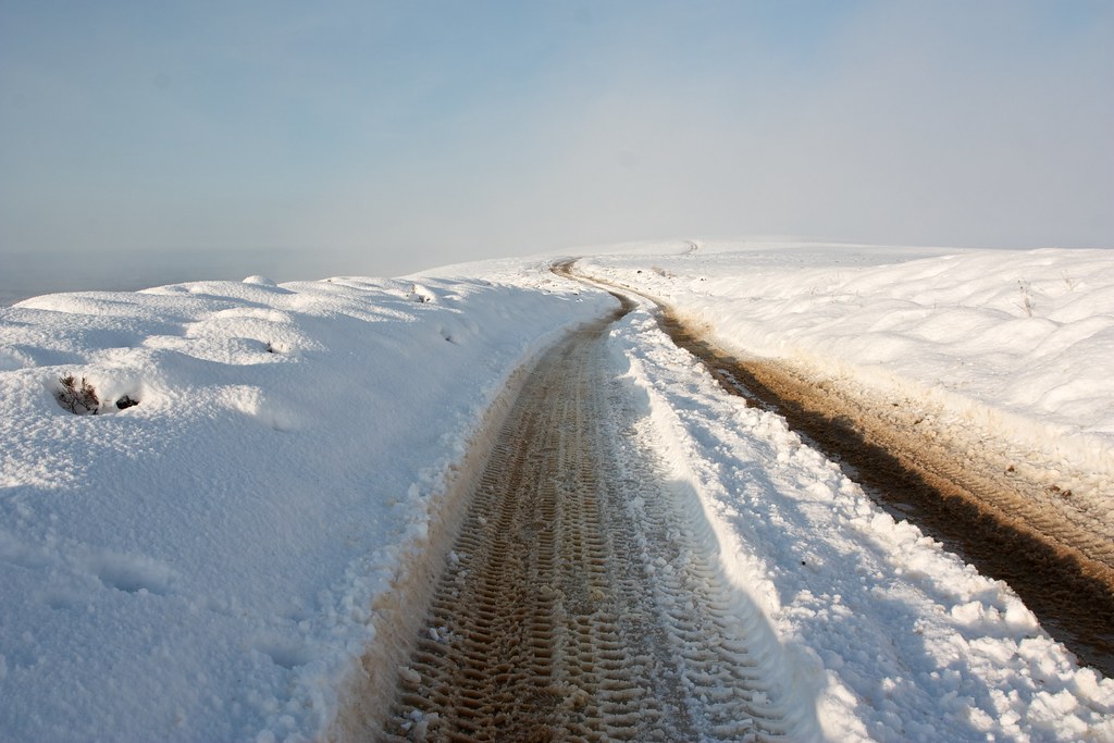
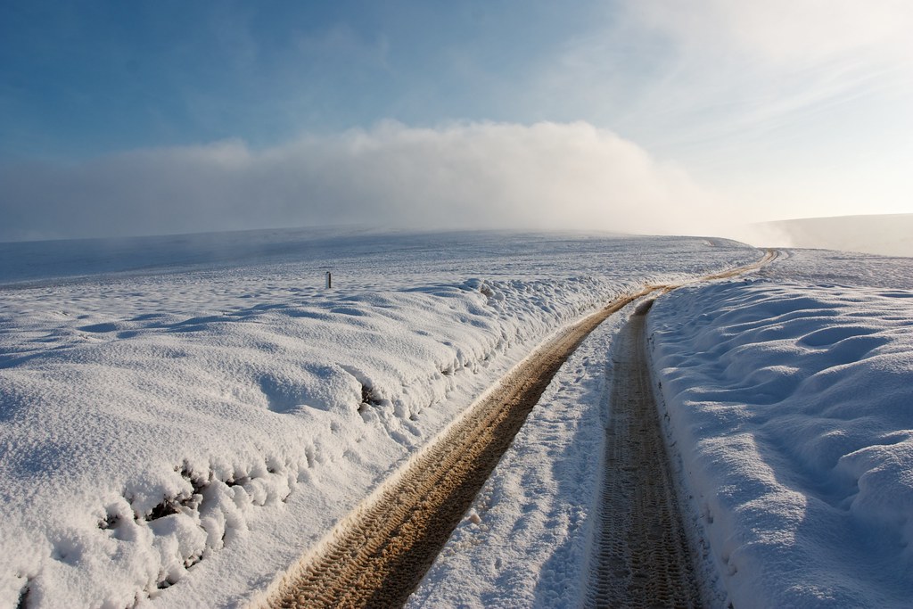
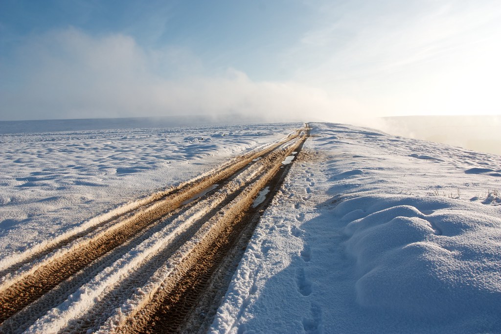
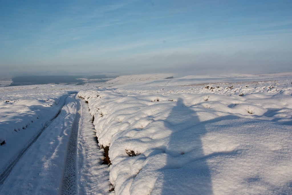
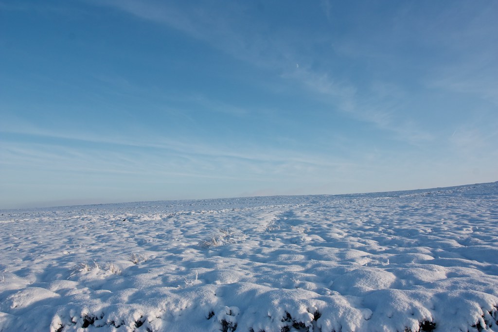
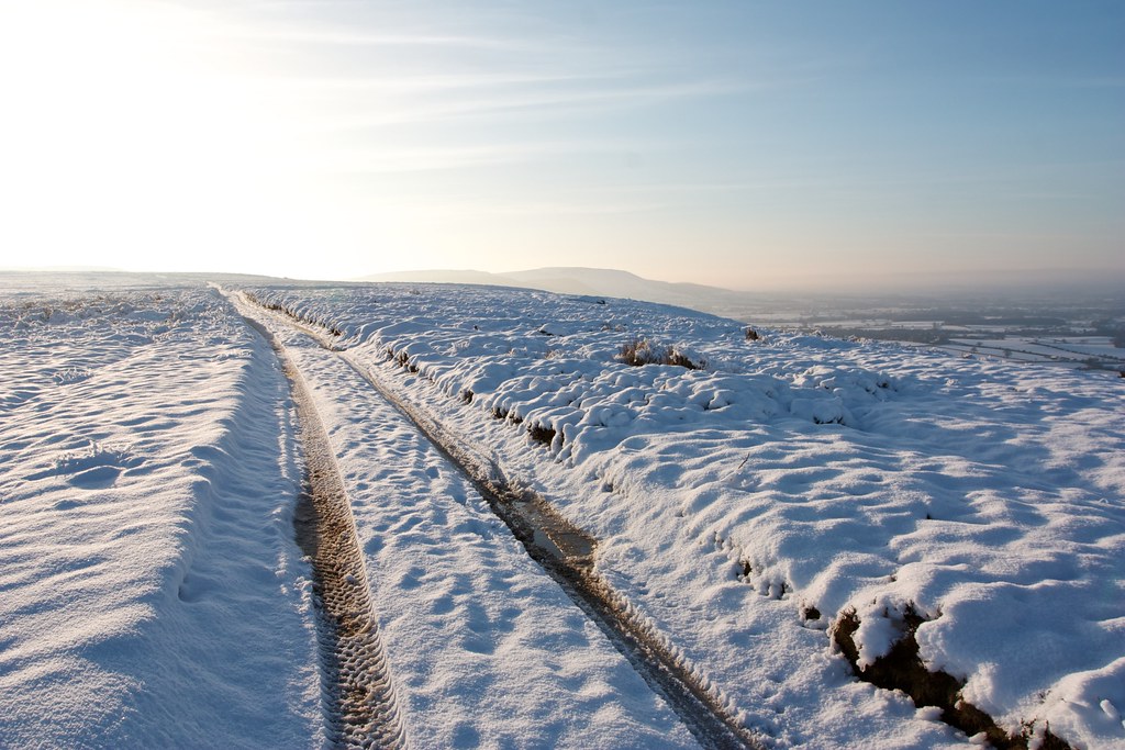
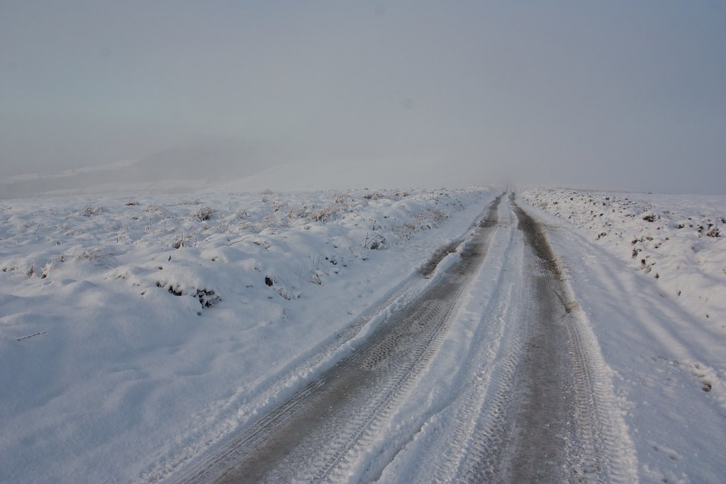
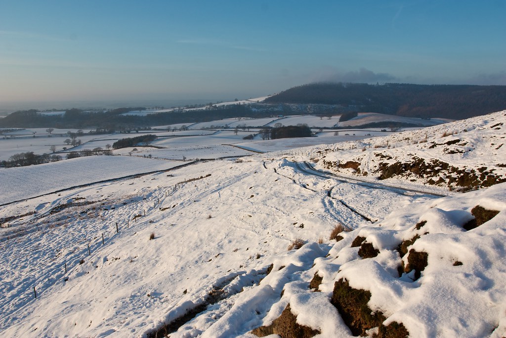
At a junction I turned left, following the track past a line of grouse butts. Up until this point most of the tracks I'd used had evidence of vehicles or even bikes, but here there was nothing but windswept snow and wide vistas. This stretch across the undulations of Ingleby Moor was a particular delight, breaking fresh snow and watching the edge of the moor slowly creep towards me.
Halfway across the moor an argocat crested the hill in the distance and slowly made its way towards me. After it passed in a whirl of snow and a hasty wave from the occupants there was a nice easy track to follow along to Burton Howe, a prominent Bronze Age burial mound, on the edge of the moor.
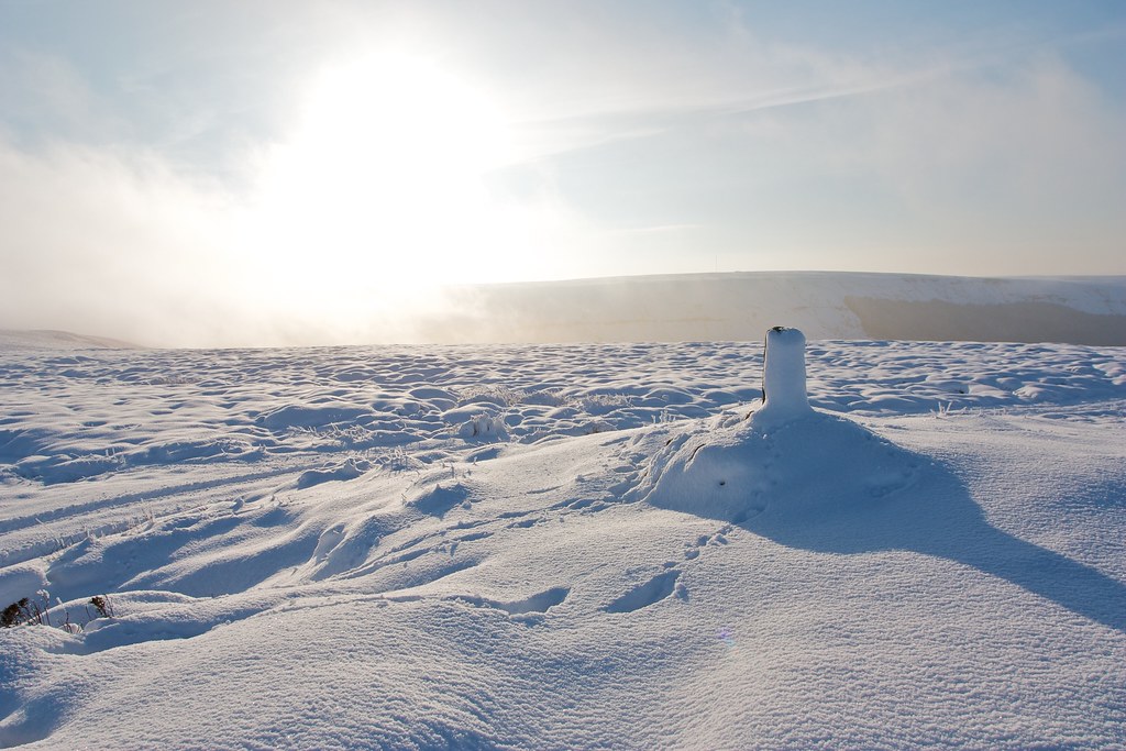
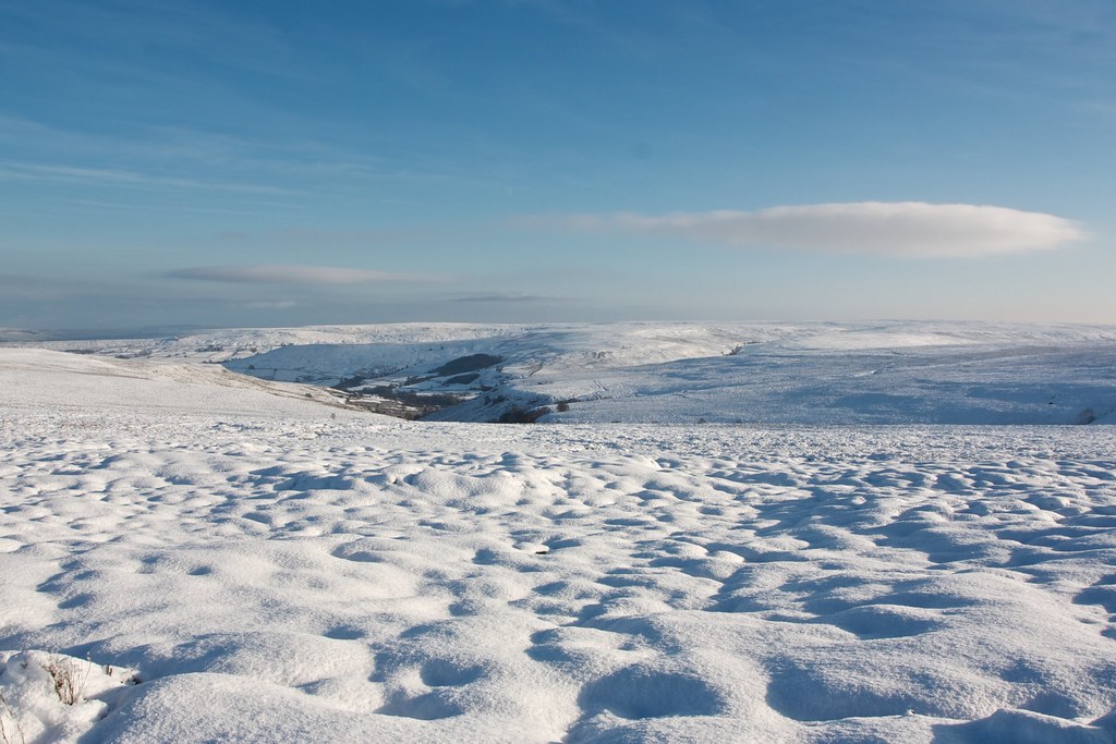
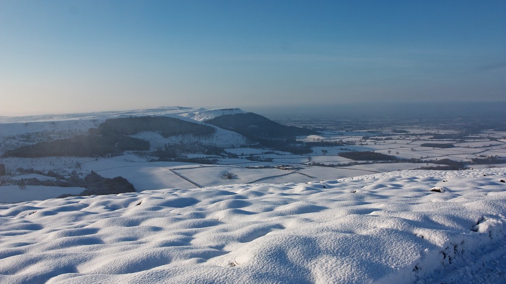
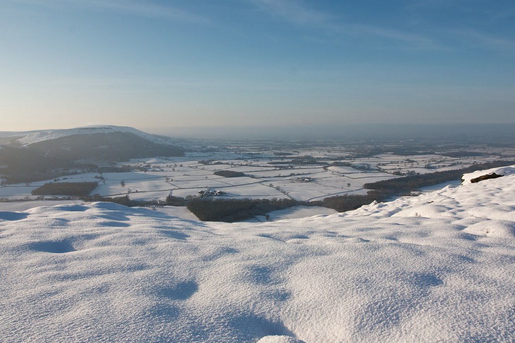
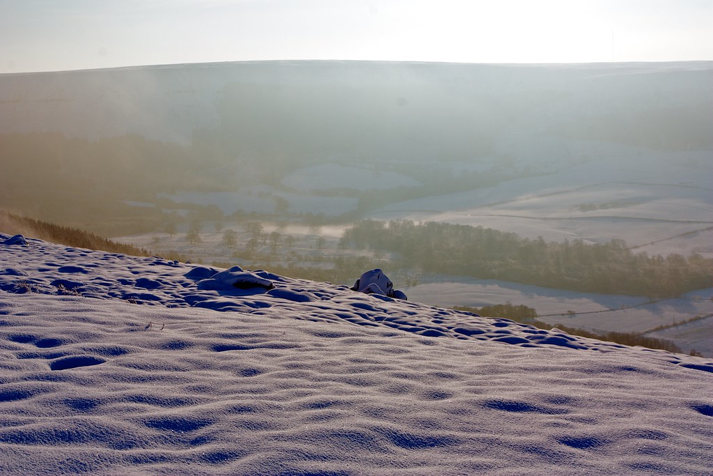
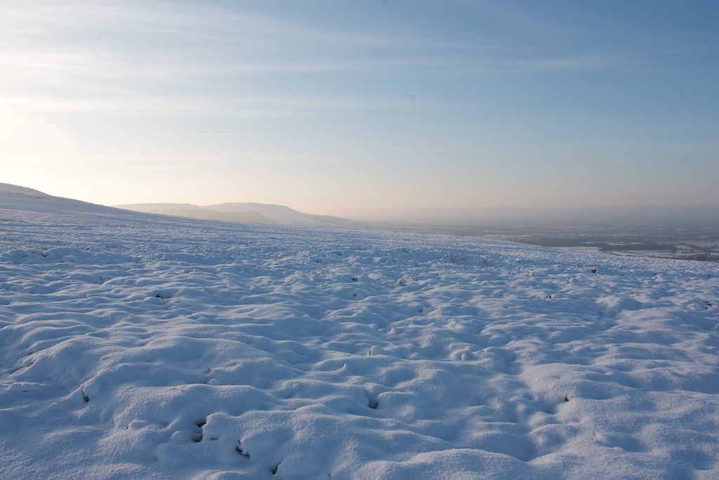
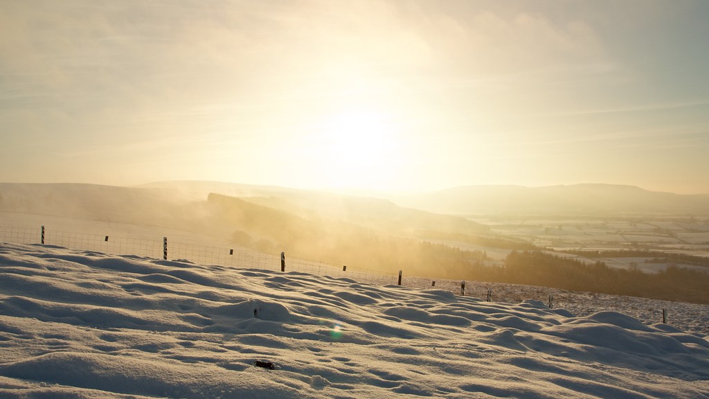
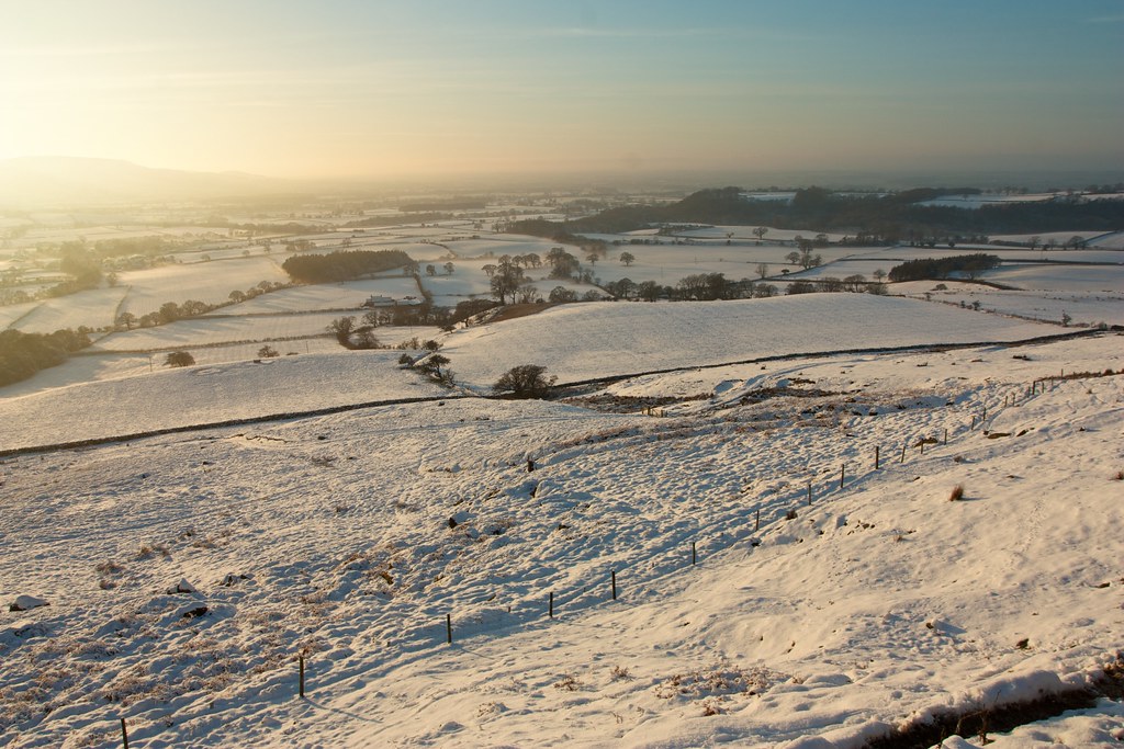
Here I met the Cleveland Way and the mist which was being mostly held back by the western escarpment, the occassional bank spilling over the moorland further south of me. Between swirling clouds I did get my first views down into the Vale of Mowbray and along the tops to the Cleveland Hills.
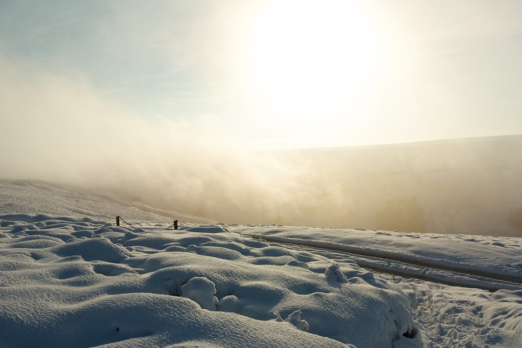
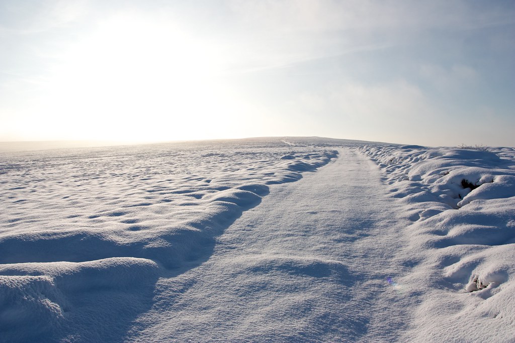
The way now was clear and obvious, a well churned set of vehicle tracks marking the Cleveland Way as I followed it northward along the edge of the moor. The views came and went with the swirling cloud but as I moved away from Greenhow Bank the conditions improved again and soon I was enjoying panoramic views westward.
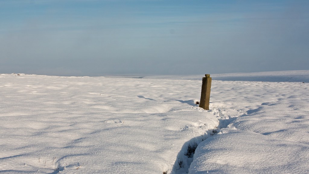
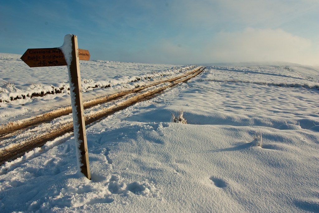
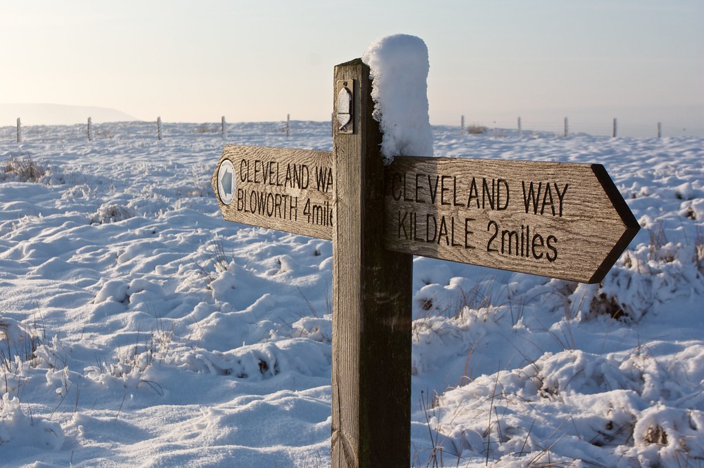
The way wound its way along the edge of Ingleby Moor. I paused briefly at a directional waymarker that pointed the way to Ingleby and Stokesley ahead of me.
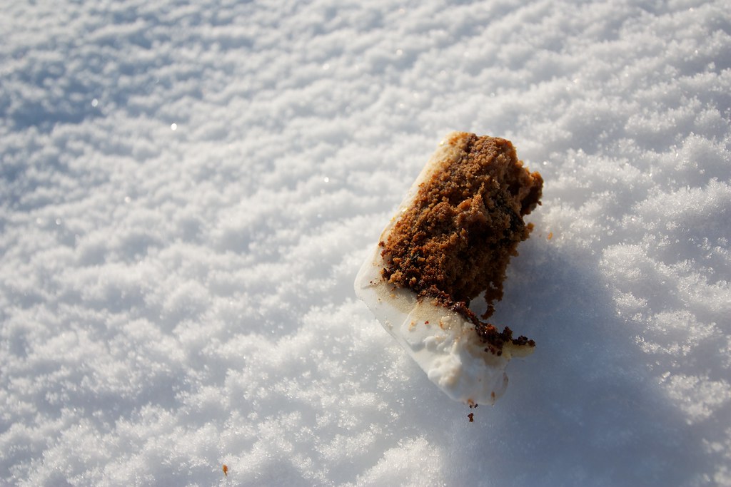
At a sign for the Cleveland Way I left the track and headed to the edge of the moor. Here I stopped to eat the last of my food, a large hunk of delicious Christmas Cake. The views were first class with mist behind me hugging the Moor and a pale moon rising over the high land that I had crossed earlier in the day.
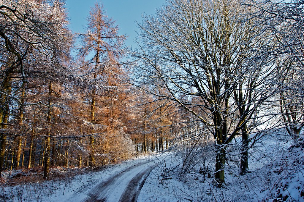
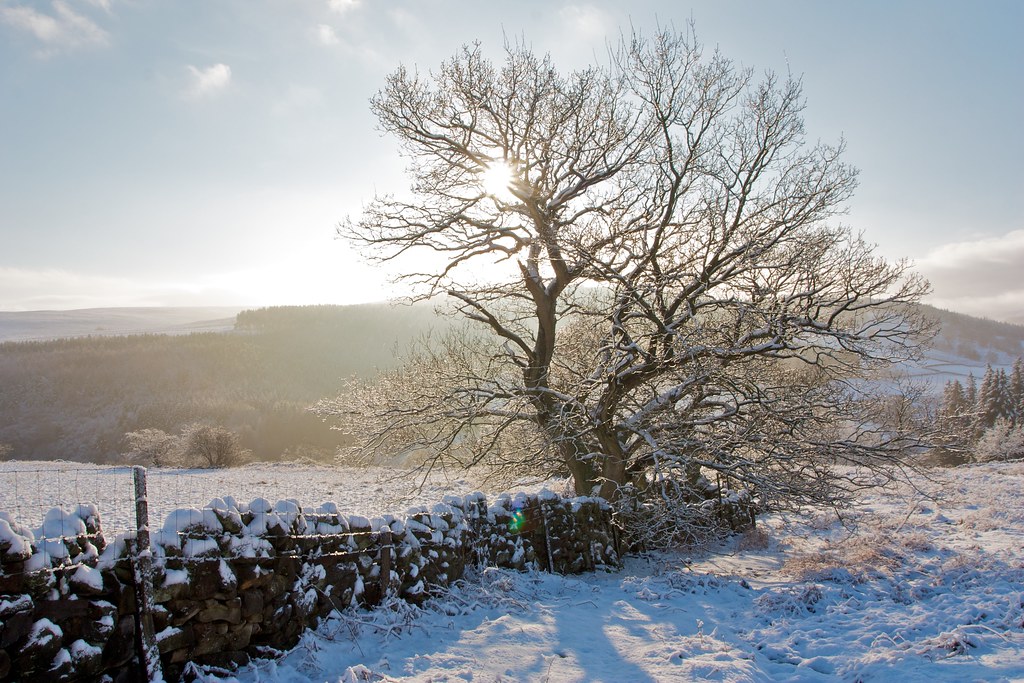
I continued to follow the Cleveland Way as it dipped down a little near the western end of Baysdale and then skirted around above Battersby and on towards Kildale. There were indistinct views to the Cook Monument and beyond to Roseberry Topping but the visibility northward wasn’t the best.

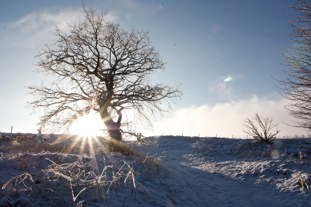
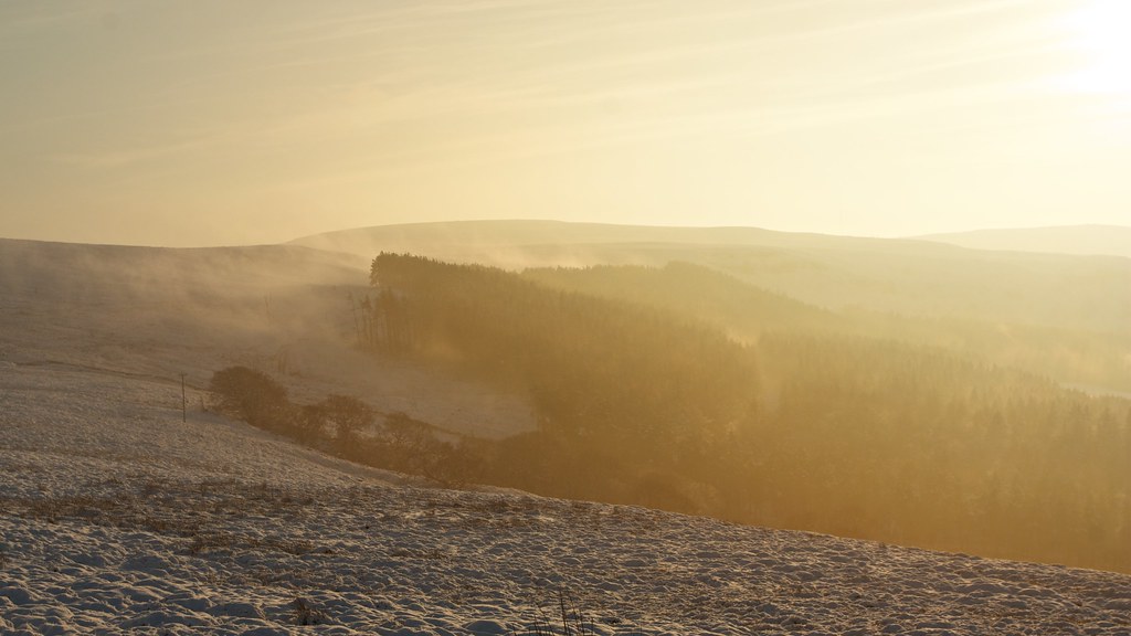
At the low point where paths lead off into Baysdale there was more cloud and mist and it was spectacular to see how the low winter sun glimmered through it turning the world to gold.
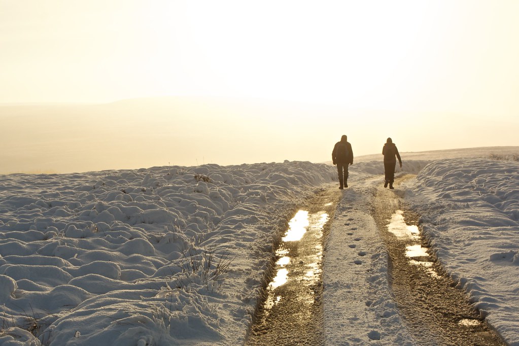
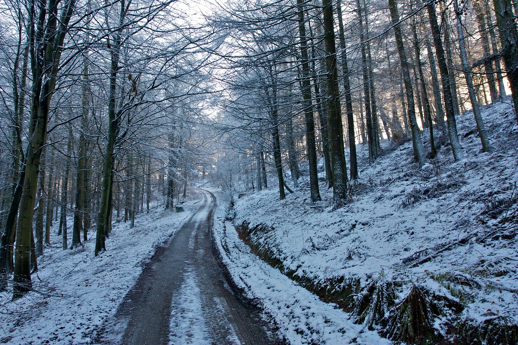
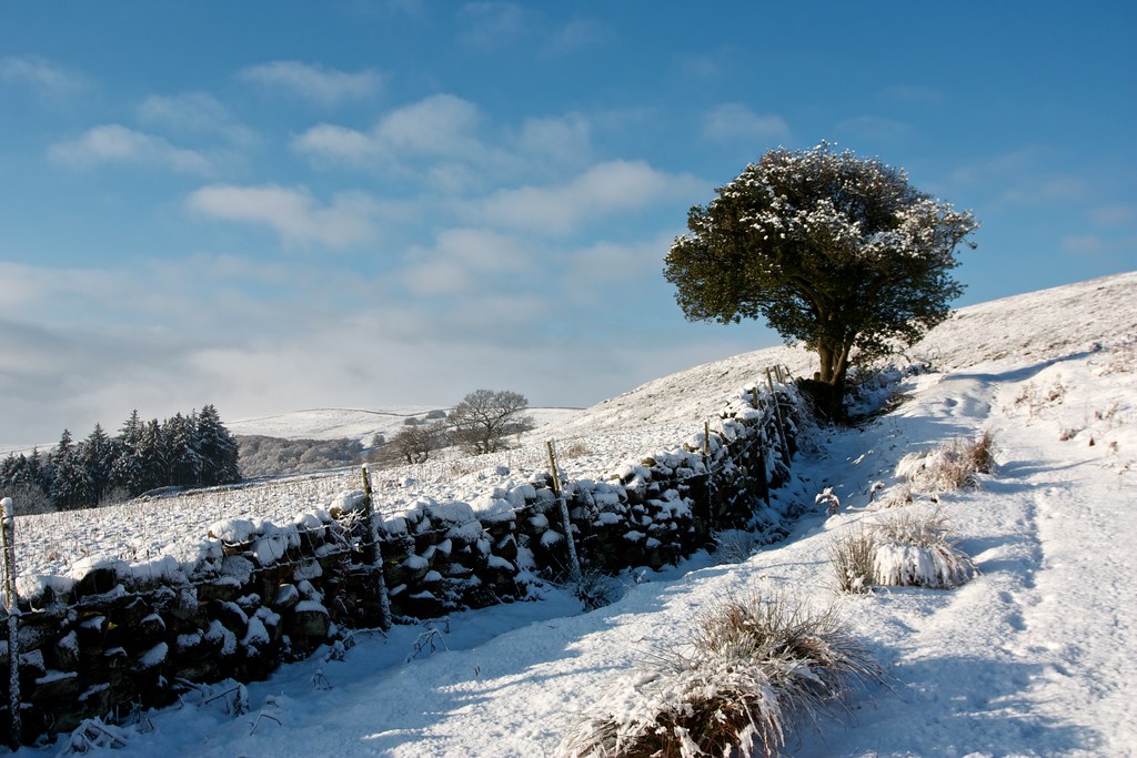
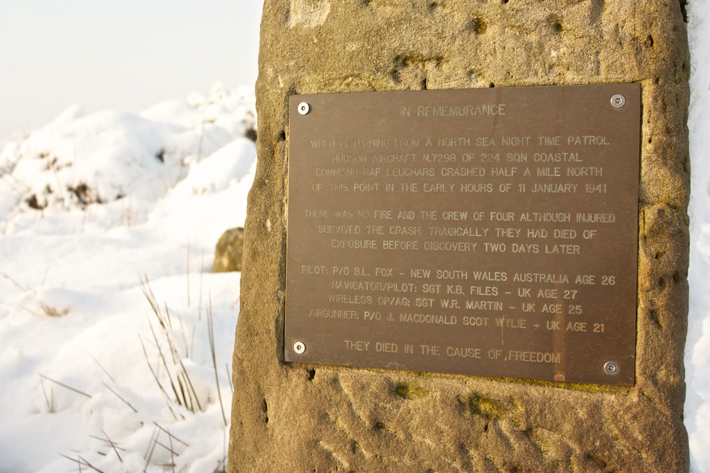
There were a couple of gates and the odd cattle grid along this section of what had turned into an icy metalled road. I passed only the second pair of walkers I’d seen all day and then I was dropping down below the Park and past the rememberance stone to the crew of a crashed plane who died on the moor before they could reach safety.
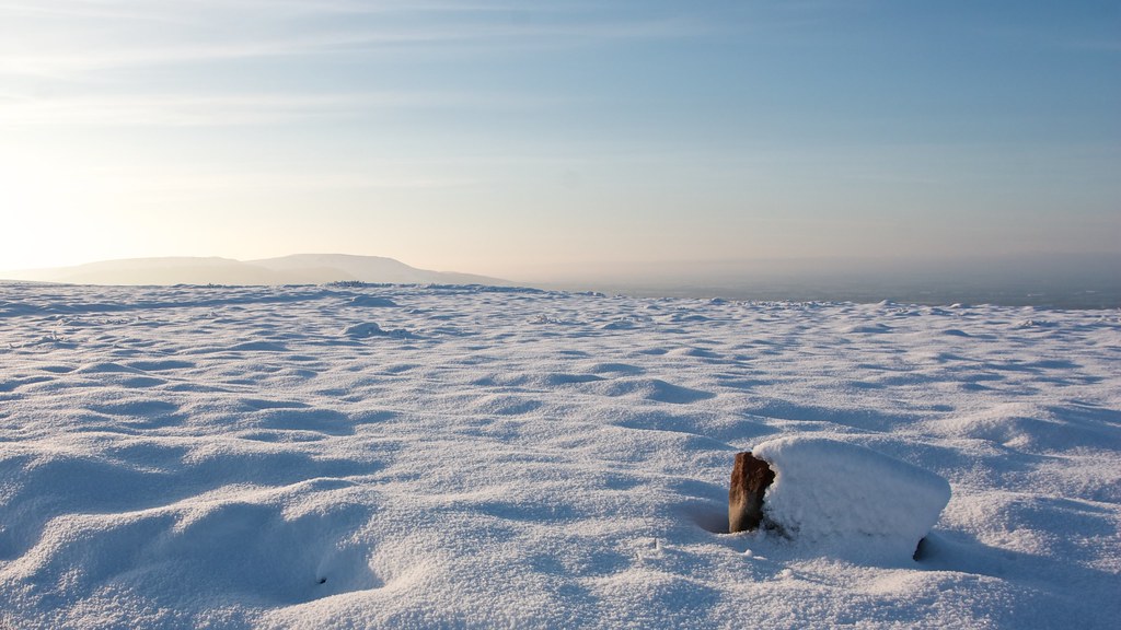
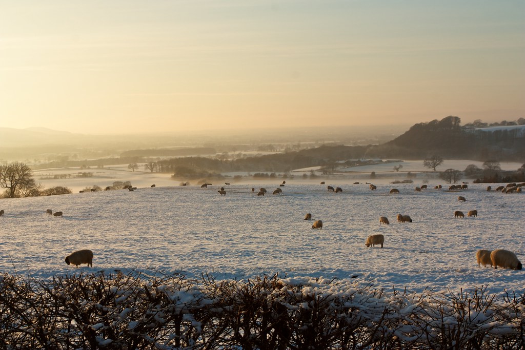
The Way runs downhill, it was a little slippery given the conditions but I took my time, stopping often to enjoy the hazy views out across the Vale and back up to the moors, scattering the occassional small gathering of sheep. Above me the tors of the Park stood out against a blue sky.
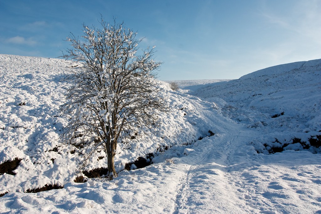
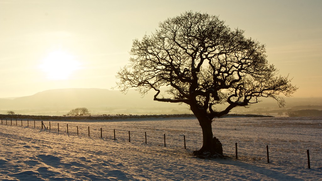
The Way wound its way between fields and wintry skeletal trees until eventually I emerged on the Kildale Road just down from where I had parked the car. It had been a most perfect day in stunning conditions and I’m eager to get back out next Christmas for more wanders on the Moor.
My thanks go to Alen McFadzean who blogs over at the excellent Because They're There who posted a report of this self-same circuit just a few days before I arrived in Yorkshire for Christmas, serving as an excellent basis for my own outing.