Distance: 18.83km
Ascent: 1346m
Time: 6hrs 45mins (including stops)
Hills: Meall Greigh (Munro, 1012m), Meall Garbh (Munro, 1118m), An Stuc (Munro, 1118m)
Weather: Dull, overcast conditions all day with barely any break in uniform grey cloud. Strong, icy wind on the tops
Route: View on OS Maps
I think it's fair to say that reliance on MWIS is both character building and somewhat exasperating. Saturday had been a splendid day in Aberdeen and I had enjoyed it with a wander around the town, a look round the brilliant Diane Arbus portrait photography exhibition currently on at Aberdeen City Art Gallery, and coffee and carrot cake. The weather had been great; warm sunshine and hardly a breath of wind. For Sunday MWIS was confidently predicting 90% chance of cloud free Munros, only a little wind and reasonably mild temperatures. After initially thinking of heading to the Monadhliath, then the Laggan Hills, I finally decided to head south-west and make my first foray into the Lawers Range. I figured that the good forecast and a nice ridge walk would make an excellent combination.
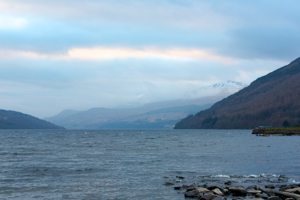
With the weather set to get better into the afternoon I had a fairly lazy start, and didn't leave Aberdeen until 7am. The drive was quiet and with the exception of a tanker near Forfar and a tractor on the A9 I didn't have much traffic hassle. I was parked up at the Ben Lawers Hotel just after 9:30. Sadly, after blue skies in Aberdeen I had driven under low, gloomy cloud for much of the journey and it was no exception on the shores of Loch Tay.
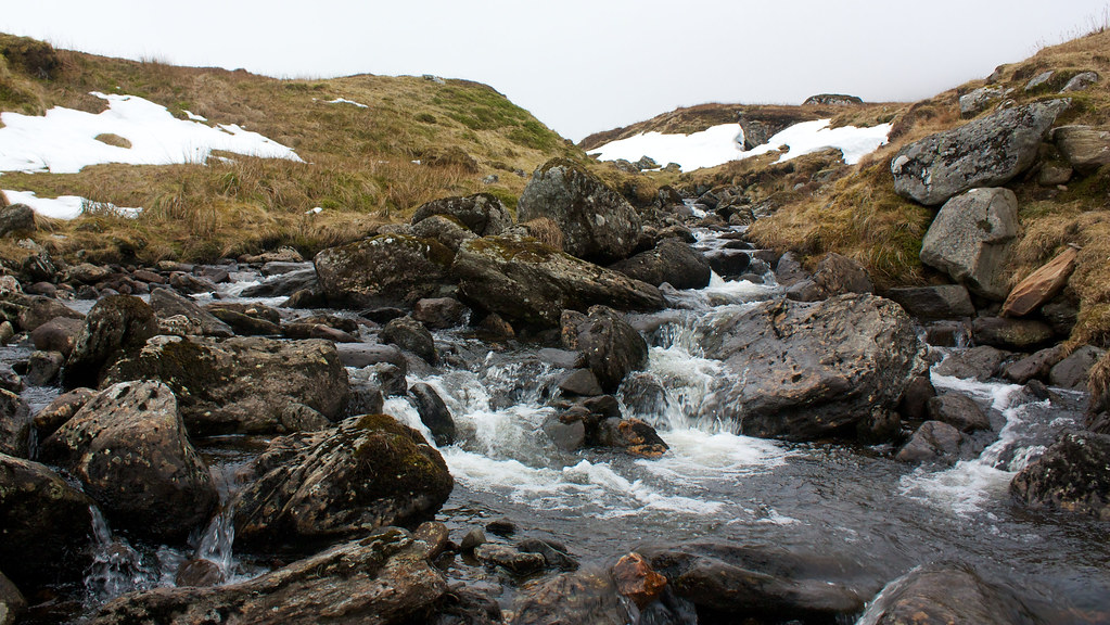
After booting up I was quickly away, munching on the final cookie from a bag of Tesco Oat & Raisin's, and made quick progress down the road to the turning onto the farm track. A bit of "ummming" and "aaaahing" over the map, a close encounter with some little, yappy dogs, and the strange sight of a large quantity of antlers in the back of a Freelander, soon had me on my way up the hillside on a good farm track. At the higher farm, signs led me around the outer buildings and yard until I passed through a gate and onto a much pleasanter narrow path that climbed up through the still woodland. Below and to my left the Lawers burn tumbled down a series of falls in its narrow ravine.
After crossing a couple of stiles I was out of the forest and passing by a cheerful blue sign that welcomed me to the Ben Lawers National Nature Reserve. Another sign further on asked me whether I was prepared for the mountains. I adjusted my hat, drew my zip up to my chin, and stepped out along the path. Initially I followed the main track which heads up to Coire Nan Cat. It passes through the strange bumps and stoneworks of a long-abandoned township. Just as the bridge came into sight crossing the Lawers burn I climbed steep grassy slopes to my right and began the long steady pull up to the summit of Sron Mhor, the lower southern shoulder of Meall Greigh. As I came out of the depression which holds the swift flowing burn I got a view up towards the high mountains surrounding Lochan nan Cat. Unfortunately the cloud was still low and obscured any sign of the summits.
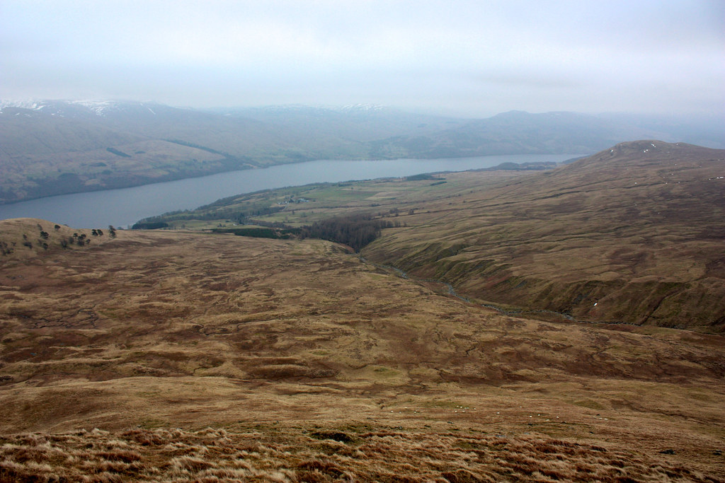
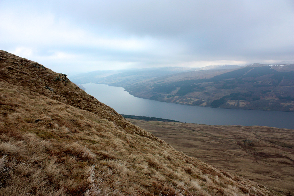
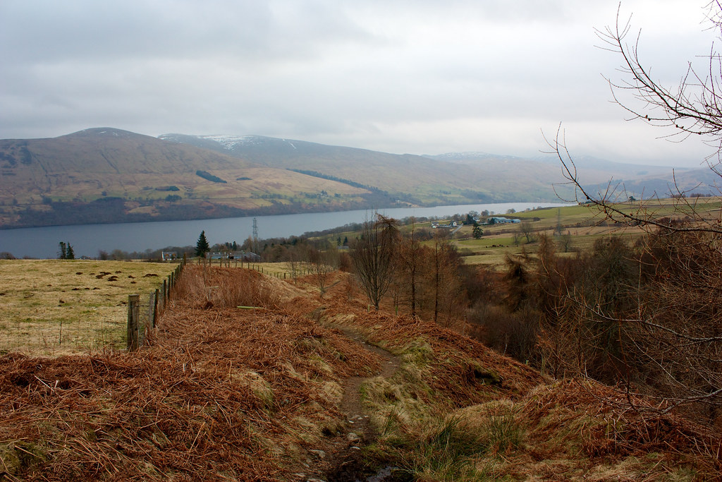
The way up was steep and a little slippy on greasy grass but I enjoyed the views back down to Loch Tay and had the company of a small herd of sheep. I wandered briefly round the nose of Sron Mhor to get a look eastward down the loch and then headed upward where I picked up a clear track that disappeared up into the mist and the upper slopes of the first Munro.
The path offered a good surface and I made rapid progress up and over a couple of false summits before finally reaching the cairn in an otherwise featureless and misty world. I was glad to take a seat in the shelter of the cairn, only to realise my map wasn't with me. A short distance before the summit I had paused to adjust clothing and had popped the map into a crevice to stop it blowing away! 10 minutes later I was back at the summit cairn having retrieved it.
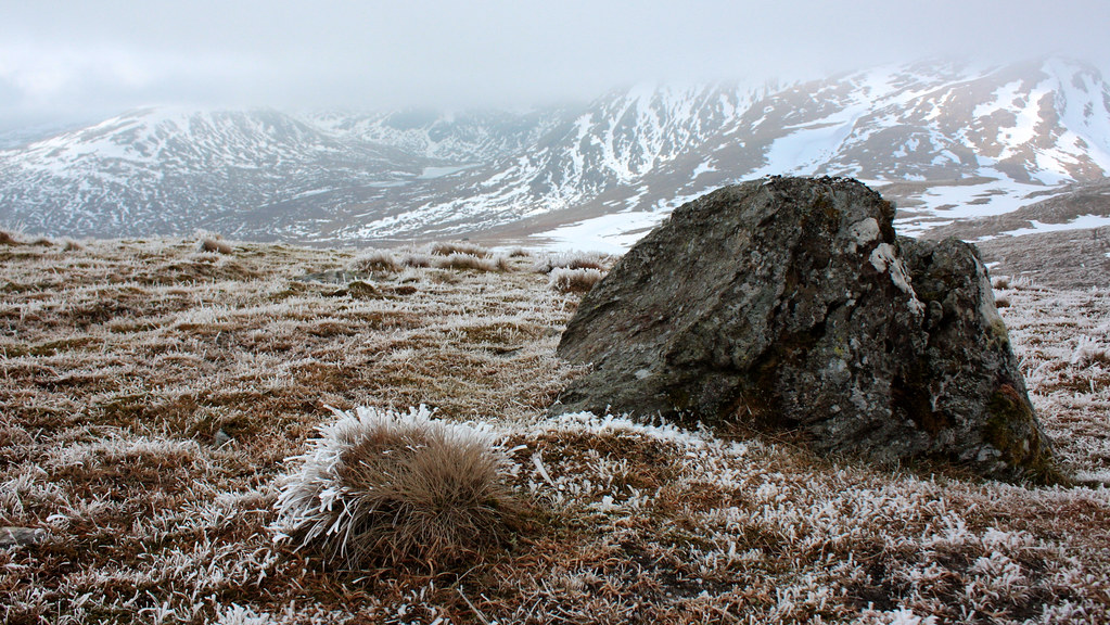
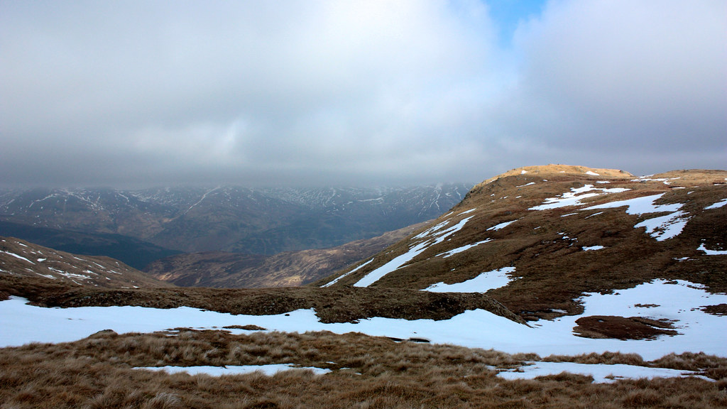
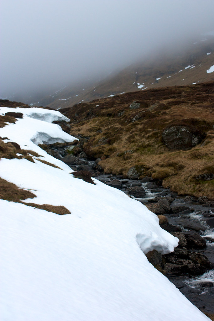
After a quick cup of a tea and a cereal bar I now contemplated the way forward. Initially the descent takes you across a couple of steepish snow banks which were fun to descend. Then I once again picked up the clear baggers track which dropped down the wide ridge towards the bealach below Meall Garbh. As I dropped I came out of the clouds and had some dramatic views across to the encircling cloud-capped mountains, including catching a hopeful sign of sun on the slopes of the day's next mountain, Meall Garbh.
I finally reached the low point on the bealach where I got some views north into Glen Lyon and then had the uplifting experience of a dose of sunlight courtesy of a big break in the clouds. Sadly the effect was momentary, the clouds re-closed and I was thrown back into a sullen world. Behind me Meill Greigh briefly poked its misty summit out to have a look.
Spurred on by this brief spell of sunshine, I now enthusiastically followed the well-worn track, which largely follows closely the line of a fence, up the slopes of Meall Garbh. Soon enough I was back in the mist and plodded onwards, climbing what must be quite a fun slope if you can see where you are heading. A couple of snow sections added to the interest and then I was on the first of the parallel ridges. I knew I had to drop off it to reach the actual summit, but still went further along it to see what the terrain was like and perhaps trick the weather into giving me a view.
It didn't work so I crossed the boggy ground between the two ridges and then made the final climb up to the actual summit where I found the cairn and a sheltered spot for lunch.
Lunch yielded no improvement in the views, despite me taking some time over it. I also spent a good time pondering my next move. Continuing the ridge meant that the next summit would be An Stuc. Getting to An Stuc would mean climbing its impressive looking north face which doesn't exactly get rave reviews amongst hillwalkers. The map did indicate a steep but doable escape route down from the next bealach, so I continued on my way, dropping down the much more interesting southern ridge of Meall Garbh which has a few exciting moments on it. A decent path takes you all the way down to the bealach and then, barely visible through the mist was the vast, towering bulk of An Stuc. It was an impressive sight, dark ribbons of rock and snow that disappeared upwards into a tangle of crags and misty, half-glimpsed spires.
I'm afraid to say that I didn't take any photos at all from this point, thinking that I was actually going to head down anyway and leave the ascent of An Stuc for another time. However, there was a clear track leading up the visible slopes and it didn't look so bad.
I ventured forth, crossing a snowpatch and then climbing up the steep, scrabbly zig-zag path. I rapidly gained height and started to feel a bit more comfortable about the undertaking. Then I began to encounter ice and hard snow on the track. I stopped to put on crampons. I knew that they would be needed above and definitely didn't want to get myself into a situation where it was dangerous to stop.
Moving upwards I was glad I had them on. Despite the changes in surface, from ice to rock to grass and back, they gripped beautifully and I continued on my way, following the track which was getting steeper and steeper. I then got to a section where the path appeared to branch. To the right a faint track led up to a very steep, vegetated, but snow-free gully. To the left there was a more distinctive set of tracks which then led out onto a very steep snow-covered slope. A set of footprints could be seen angling up it on a rising traverse but it was difficult to see how far they went in the mist.
I weighed up the pros and cons and decided that the snow slope was the way to go. I re-tightened every possible strap, looped my axe leash around my wrist and began the ascent. It was exhilarating. Every step I crunched the crampons hard into the snow, buried the ice axe, secured my grip and then made another step forward. It seemed to take forever with a look down revealing a spiralling white descent into absolute void. After losing sight of the point at which I had left the track, I finally looked up and out of the whiteness had formed dark shapes; rocks, grass and the continuation of the track.
Back on firm ground I breathed a huge sigh of relief. I was now only a short distance below the summit and the angle immediately eased off. I followed the track which led to a final snowfield which I climbed to emerge triumphant onto the summit ridge.
The cairn was deserted so I was able to make myself at home, stretching out to enjoy the non-views and taking off my crampons and stowing away the ice axe.
I decided a second lunch was called for so dropped slightly off the summit to get out of the bitingly cold wind.
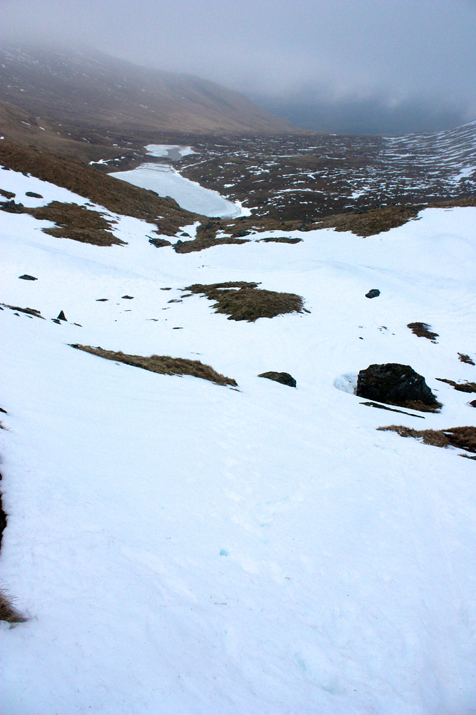
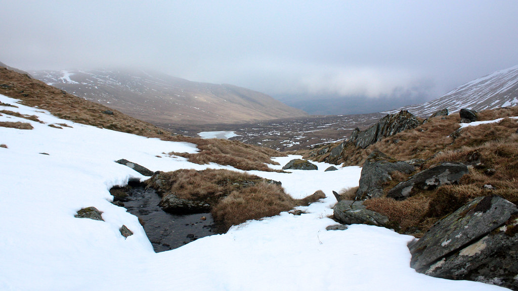
After this revitalisation I set off, now feeling much happier and ready to head back down. From here it is easily possible to continue on to Ben Lawers but with the continued lack of view I didn't really see the point in continuing just for the sake of it. I followed the excellent track off An Stuc which again dropped me out of the mist and gave some great views down to Lochan nan Cat.
At the bealach I found a faint track that ran down a steep shoulder. It kept above the steep, snowy main ascent gully and then dropped me onto the snow further down where the gradient was less severe. It was then a case of picking my way down the steep slopes, snowy at first to the top of a set of crags, but then giving way to grass as I picked my way through. Eventually I got myself onto a nice grass rake that took me almost down to the waterside of Lochan nan Cat.
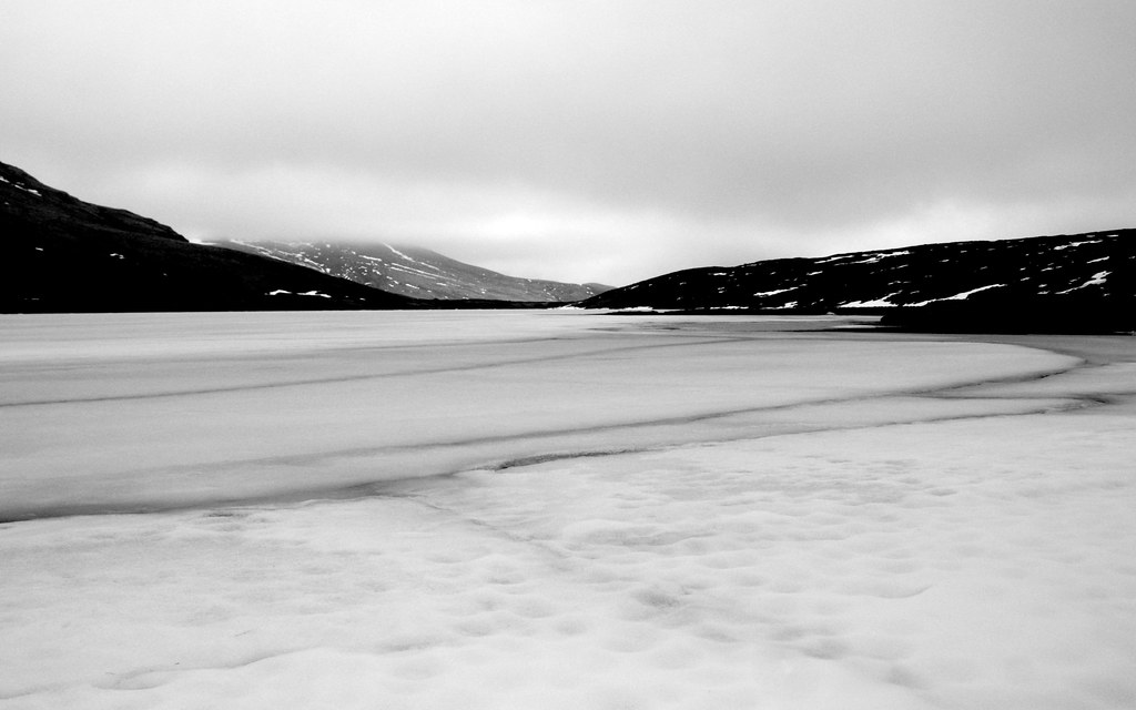
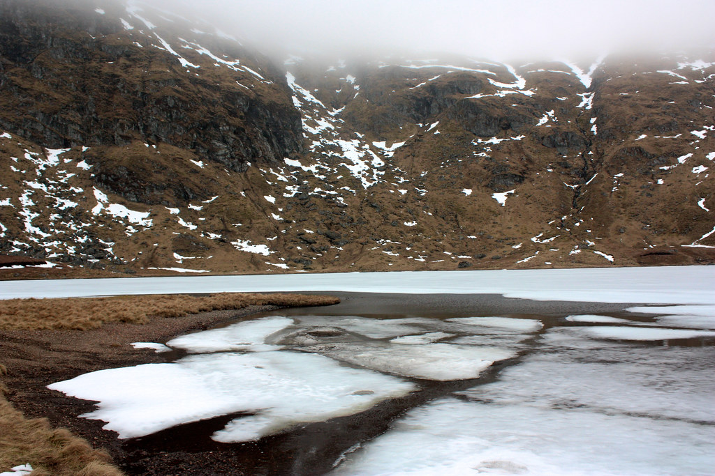
The area around the loch was boggy but there were patches of firm ground here and there and something of a track. After a pause to breathe in the quiet surroundings (as well as a brief wander to scope out some wild camp spots) I took to the track, sticking close by the shore of the loch until I reached the far end. Here a gravel beach was a fine spot for a final spot of tea with views back across the still frozen waters to the feet of the mountains I'd been up.
Past the smaller southern section of the loch I continued to follow the track which got better as it started to drop downhill besides the Lawers Burn. Soon I reached the small dam and picked up the broad vehicle track. A helpful cairn marks the point a couple of hundred metres left where you turn off the main track to drop down by the burn.
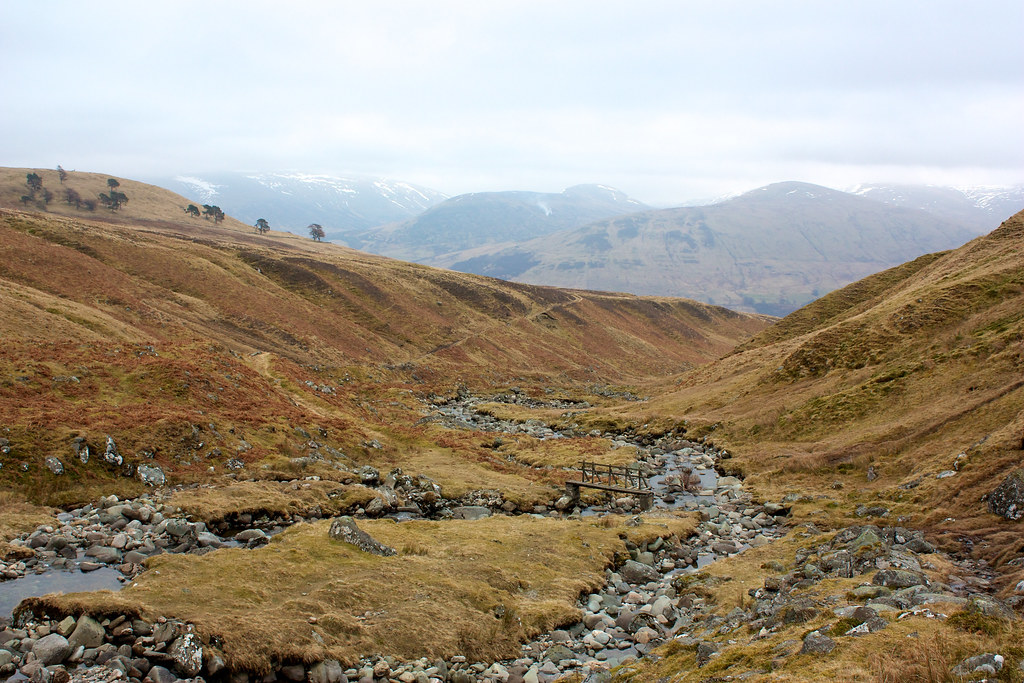
This is a delightful track on good springy turf that keeps you high above the impressive ravine with the view starting to open out over Loch Tay. Eventually I caught sight of the bridge and followed a good zig-zag track to descend to the crossing point.
Once across I was soon reunited with my outward track which gave an easy route back down to the road and so to the Ben Lawers Hotel. You can use their car park on the understanding that you make a purchase at the hotel. As it was getting on for tea time I decided to stop for a hearty helping of steak & ale pie and a cup of tea. It set me up nicely for the long drive back to Aberdeen.
It was disappointing not to get the views on what is supposed to be a fine round but I felt a good sense of achievement at having climbed An Stuc and three new Munros is a good way to start the month!


