Date: 25th March 2012
Distance: 35.51km
Ascent: 1,210m
Time: 9hrs 00min
Hills: Mullach Clach a' Bhlair (Munro, 1,017m), Sgor Gaoith (Munro, 1,118m)
Weather: Very warm, sunshine and hazy skies
Route: From camp besides the Feshie to Aviemore Station
If you came straight here then you might like to take a look at Part 1 and Part 2 of this report.
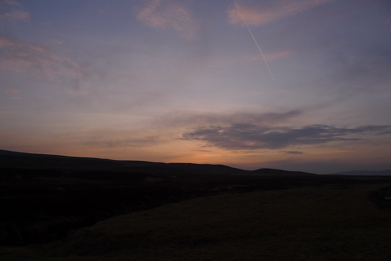
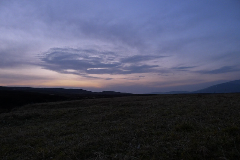
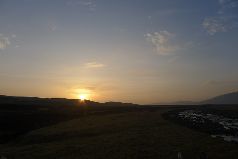
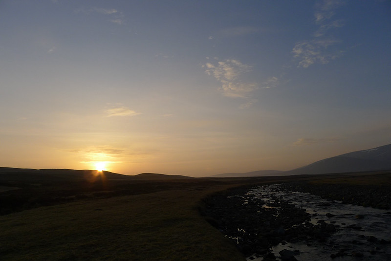
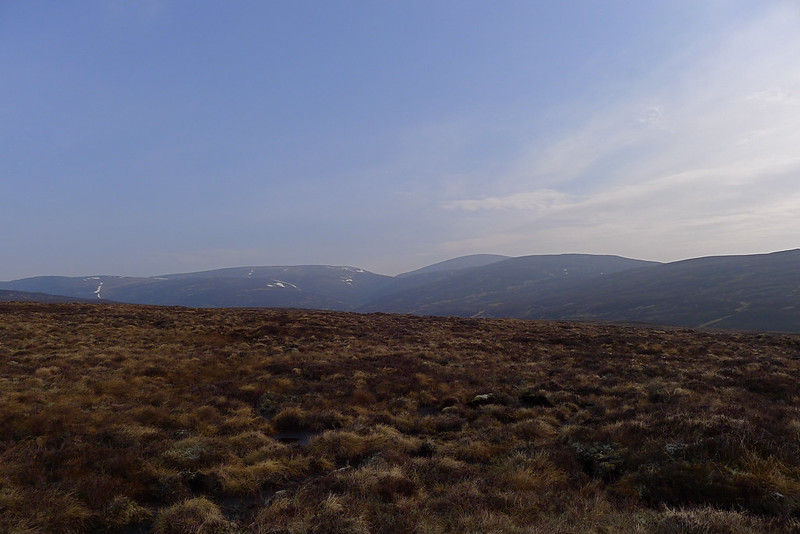
The next time I awoke it was that still, cold hour before dawn. The skies were much hazier, the stars mostly veiled and some patchy cloud was drifting around the glen. I dozed off again, waking some time later when the quality of light had changed and the sun was almost up. Outside it was a beautiful dawn. A crisp, deep blue sky, dewy grass, and the mountains all around me. I made a cup of coffee and sat around, watching the colours change and the sun suddenly crest the eastern hills. It was a stunning sight.
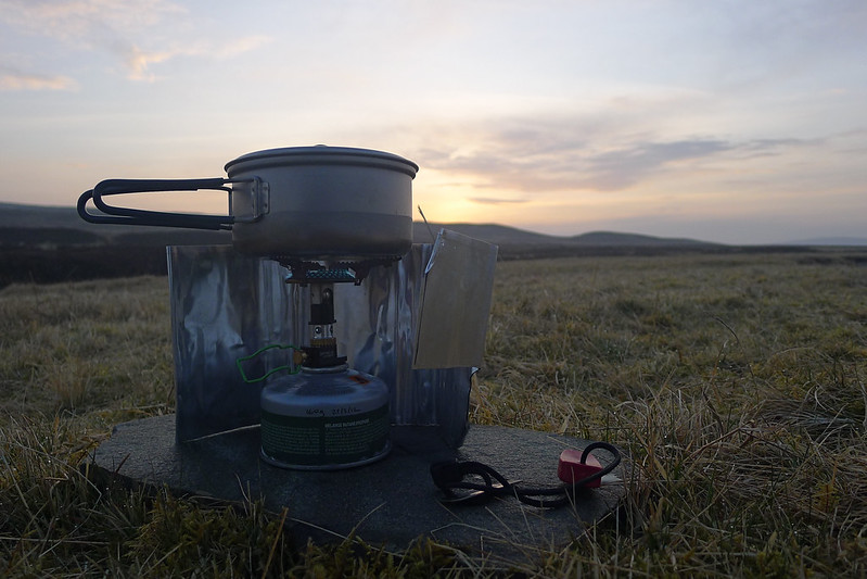
My lower than expected mileage the previous day meant I wanted to get an early start, but the beautiful sunlight and lazy feel to the morning was not conducive to this and it eventually took me almost an hour to get everything sorted and packed up.

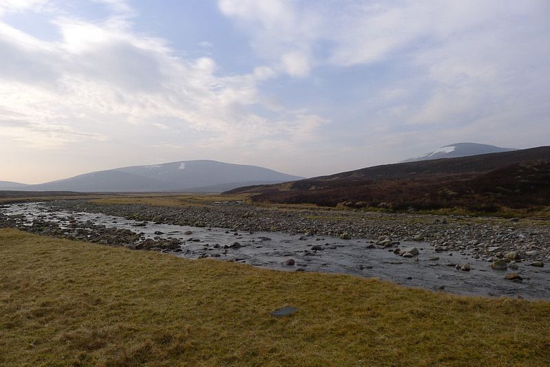
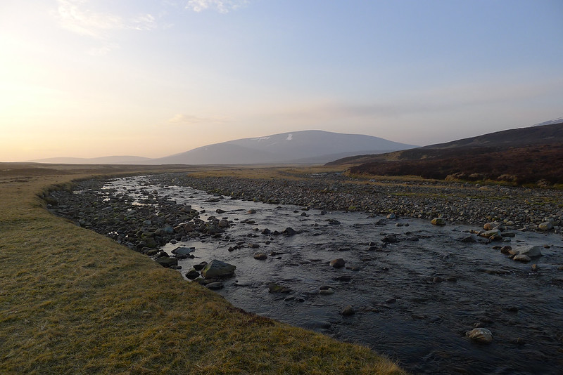
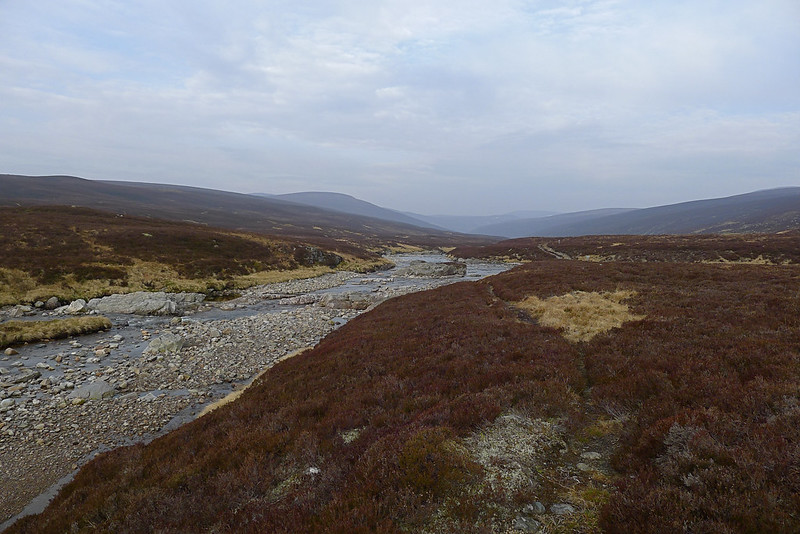
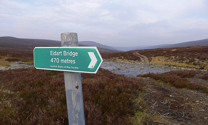
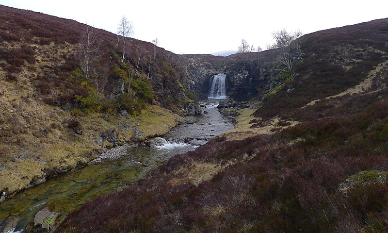
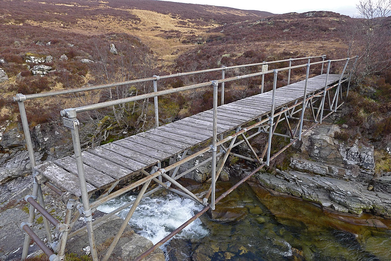
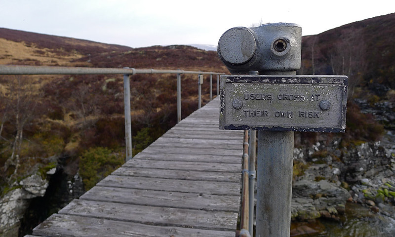
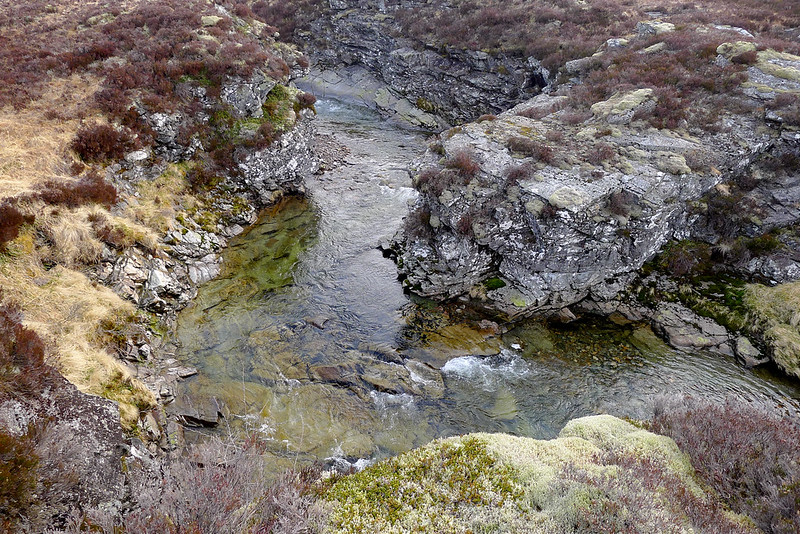
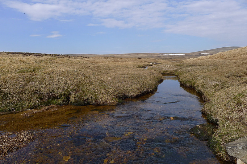
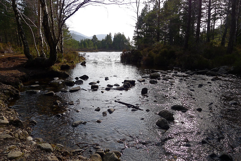
Once away I followed the Feshie to the point at which it is joined by the Eidart coming down from the heights around Monadh Mhor. A Scottish Rights of Way sign points you north to a bridge and I followed the path as it bobbed and weaved above this stunning section of river. This culminated at the Eidart Falls where the river cascades over a big drop into a dramatic pool. Above it is the somewhat rickety bridge which takes you over the river.

On the other bank there was not much sign of a path (besides the one heading back to the Feshie) and so after briefly trying to follow the river I gave it up for a lost cause and struck out across the bog, hoping to make the shortest distance across to the start of the ridge of Cnapan Eachan which was my chosen route up onto the plateau.

In the end it took longer than expected, including an annoying backtrack to retrieve a dropped hat which I had taken off as the morning rapidly warmed up. Thankfully though the bog did at last end and once I started gaining height I got glorious views into the head of the Eidart whilst the blue skies opened up above me. I climbed the final steep slopes up to the ridge and rejoiced in the feel of short, springy heather beneath my feet.
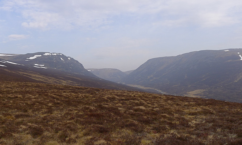
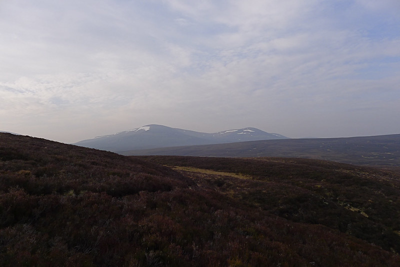
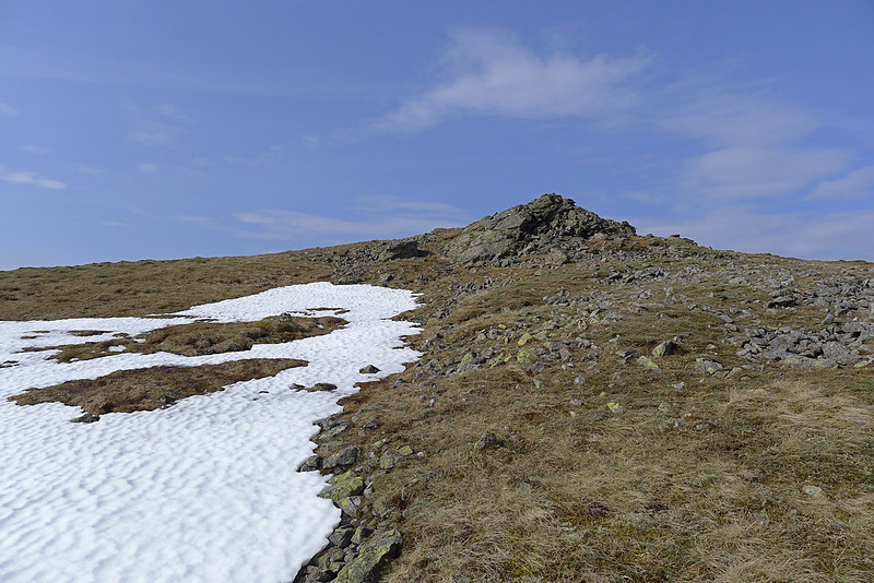
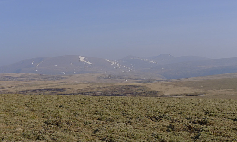
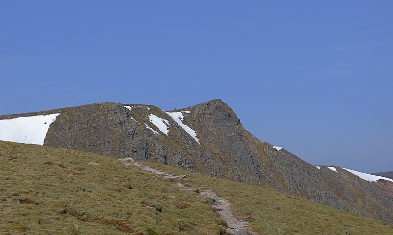
I soon joined a vehicle track coming up from the Eidart and followed this up steep, grassy slopes to the rocky top overlooking the river. A bubbling stream provided ample refreshment and the spectacular views to the high Cairngorms, encompassing Beinn Bhrotain, Cairn Toul and around to Braeriach, made all the effort worthwhile. I could have moved straight up to the plateau here but the slight deviations to look down over the Eidart were definitely worthwhile.
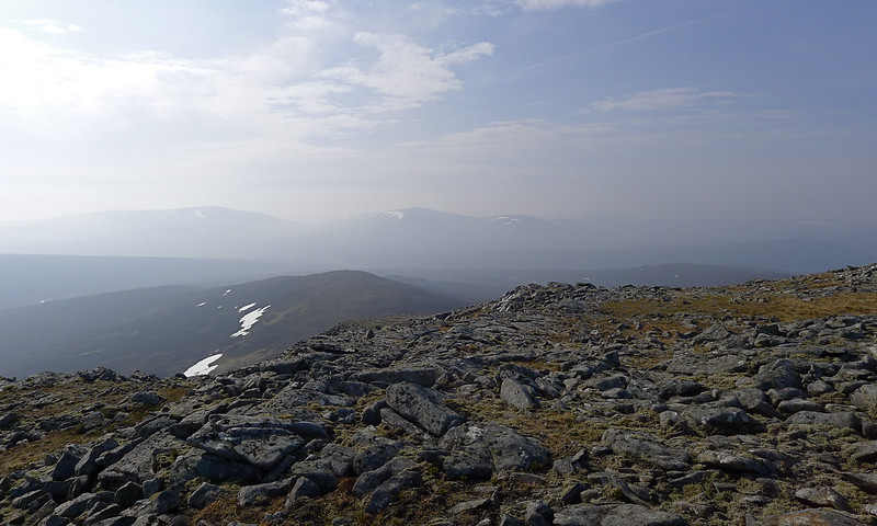
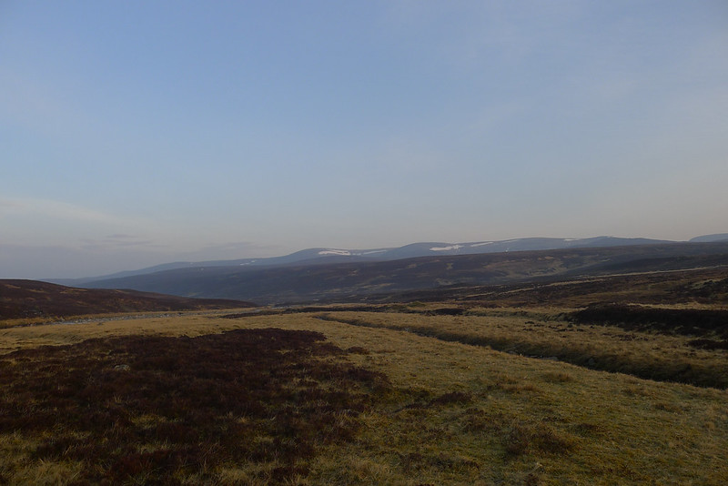
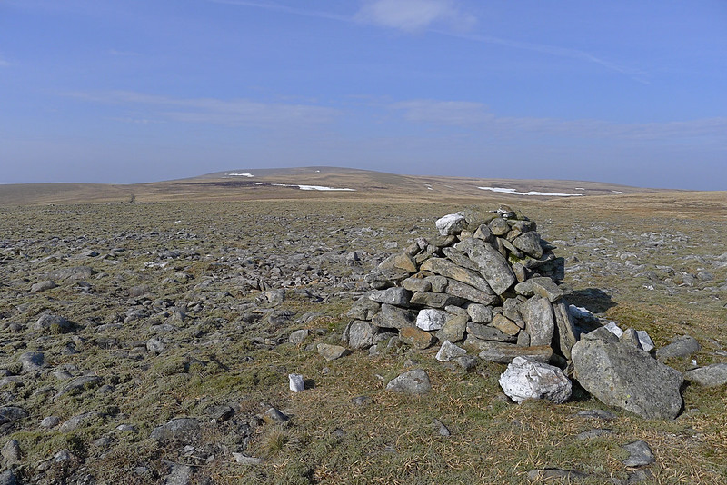
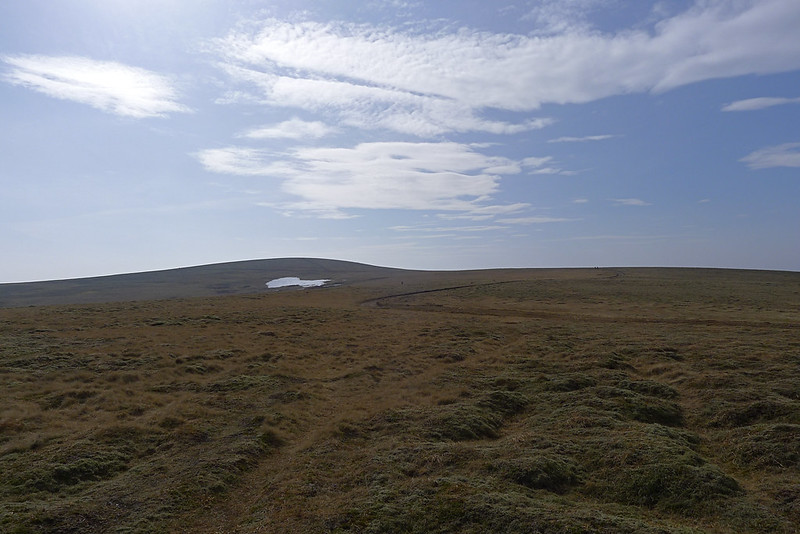
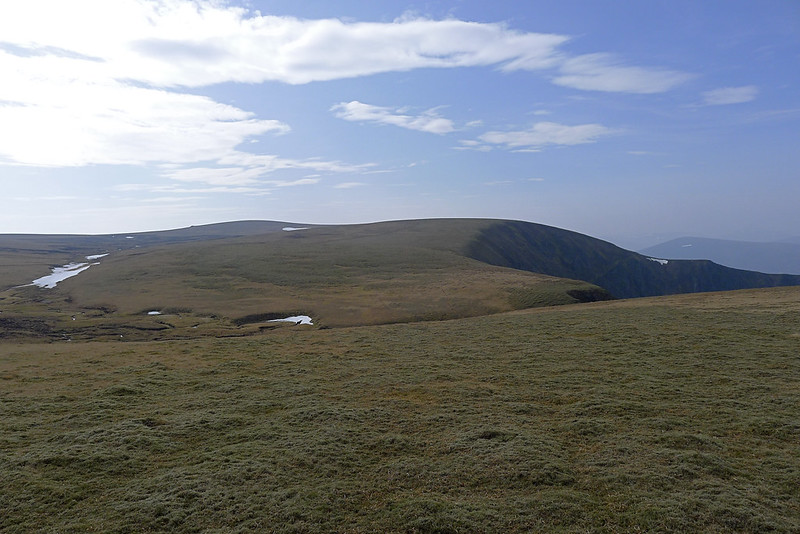
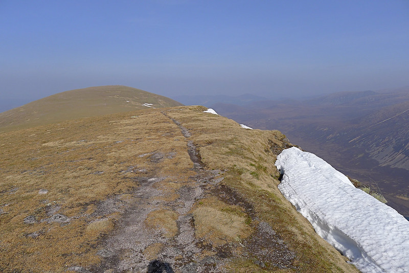
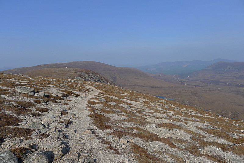
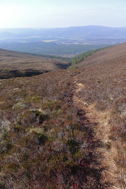
From this point on the going was much easier. Although I’d ascended in my base layer I now put my jacket on as there was a decent breeze blowing across the high ground. I headed west and soon picked up the clear vehicle track that heads across to Mullach Clach a’ Bhlair. There are a couple of cairns on the way but mostly it is high, rolling moorland across which I made good time. As midday struck I arrived at the summit of the trip’s fifth Munro.
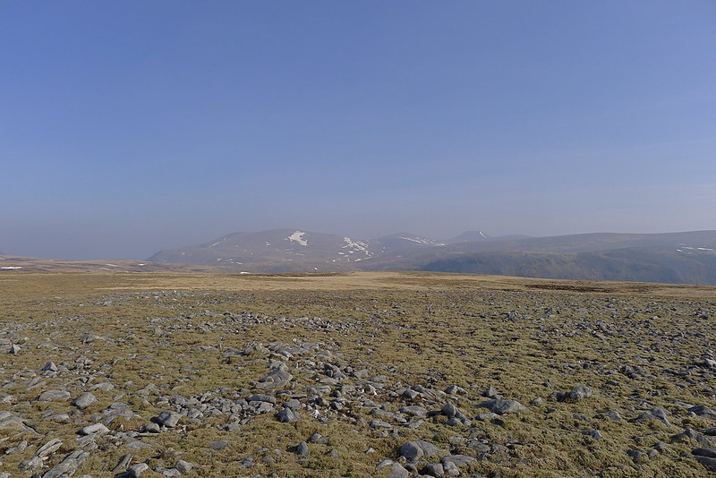
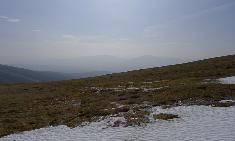
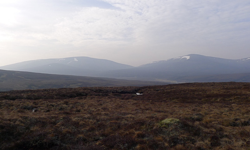
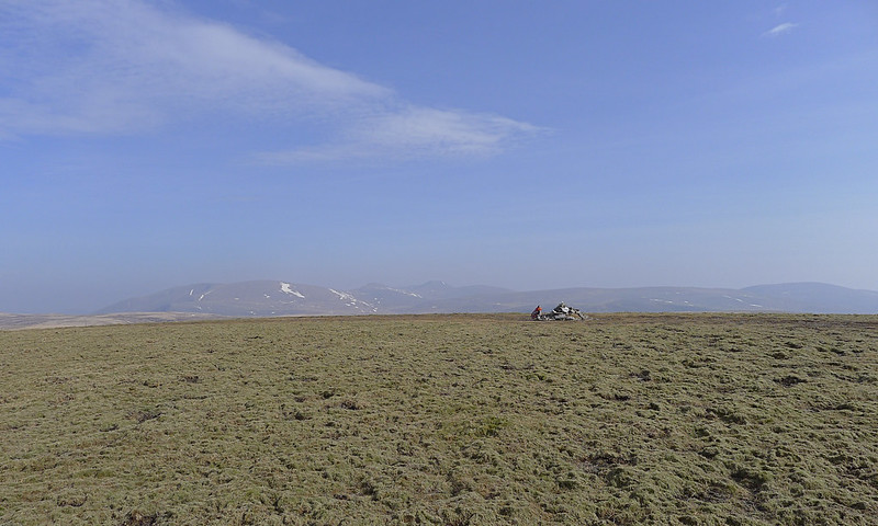
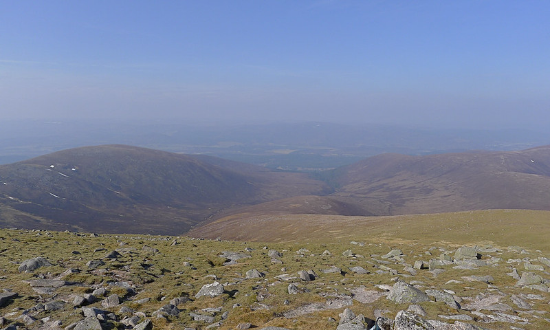
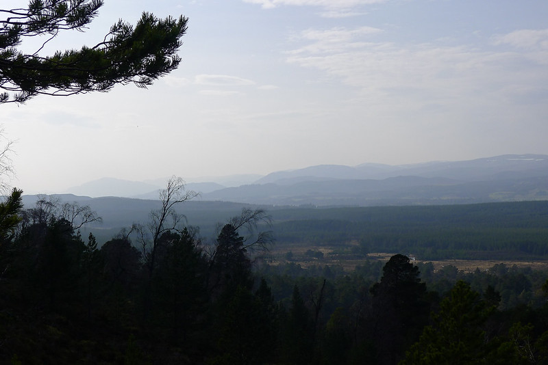
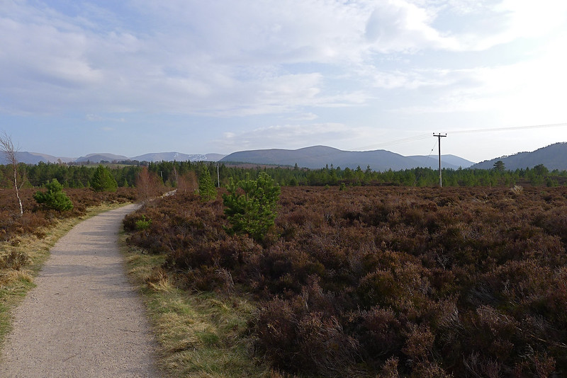
The views were yet again quite hazy but I enjoyed looking back over the Feshie to the previous day’s hills and especially the spectacular view east across the plateau to the highest Cairngorm summits. I sat down at the small cairn and enjoyed a lunch, watching tiny, ant-like figures crawl along the various tracks that criss-cross this area. One of them made it up to the summit and I engaged in conversation with someone for the second (and last) time on the trip.
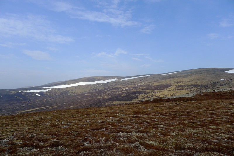
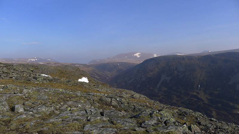
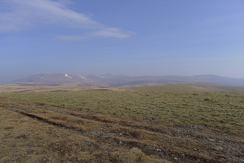
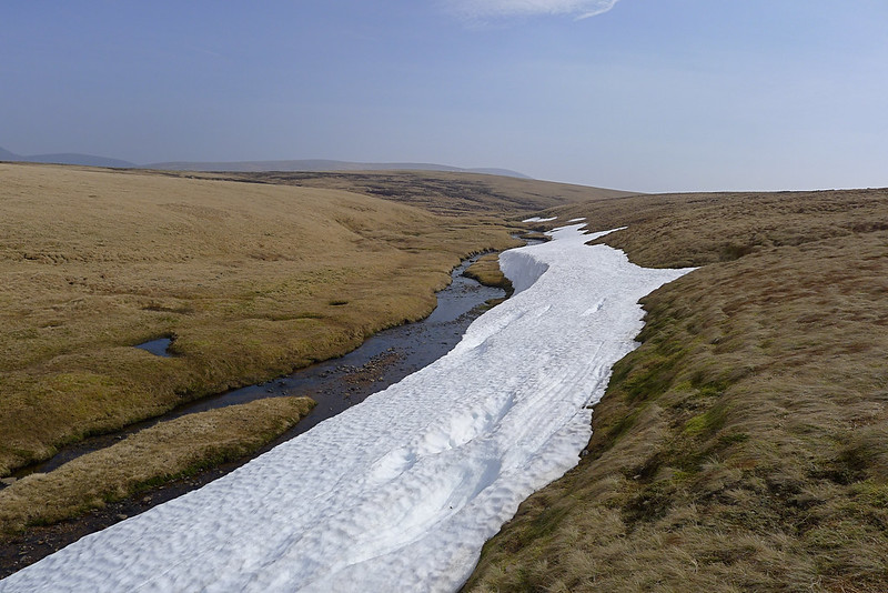
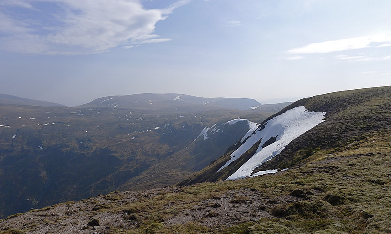
From Mullach there are a couple of choices for getting across to Sgor Gaoith, crossing the Great Moss (the Moine Mor). One is slightly longer but sticks to higher ground, whilst the other appears a little more direct but involves slightly more height gain and loss. I ended up doing a slight mix of the two, initially following the track and then contouring around the head of the impressive Coire Gharbhlach before making my way north and west to pick up the track again.
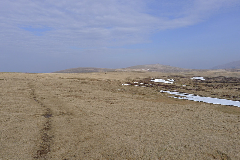
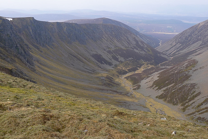
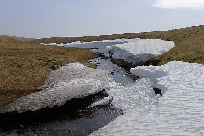
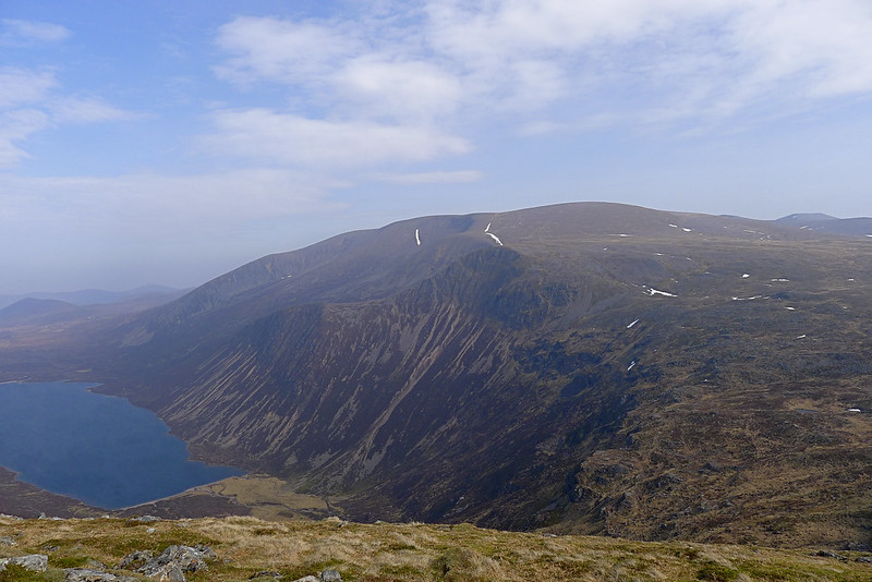
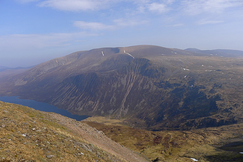
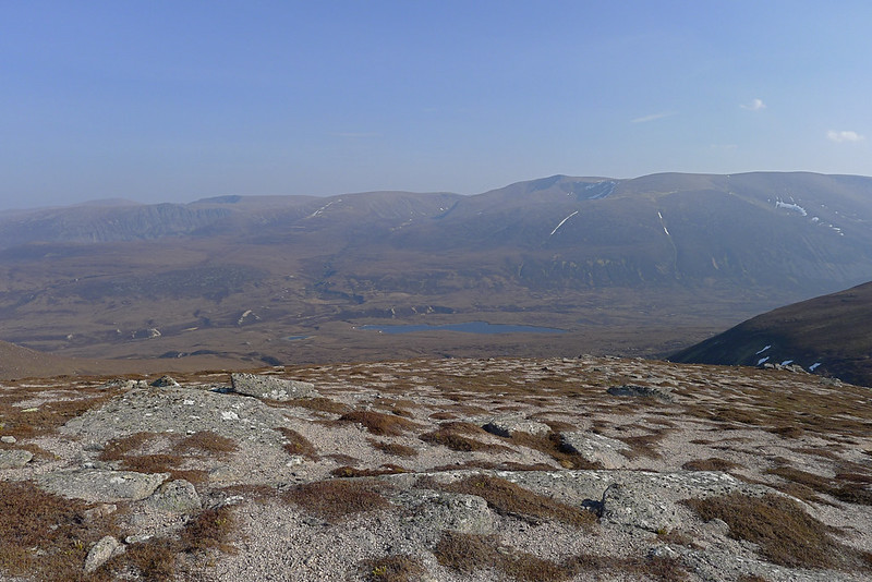
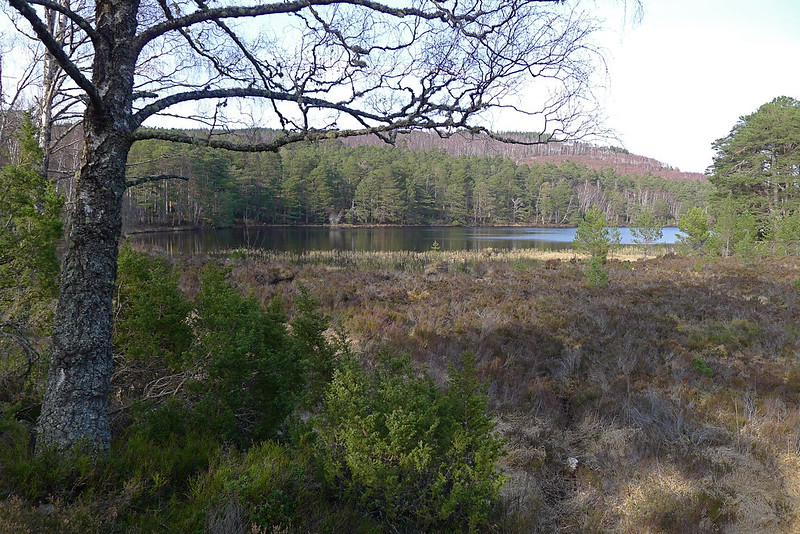
After crossing a stream which featured some impressive snow banks and collapsing bridges I climbed the slope and then left the path again to pick my way across mostly dry bog to the head of Glen Einich. Having camped there last October, but with limited views, I was keen to get a better view of this stunning glen.
Today the views were spectacular and I sat for a few minutes perched over the cliffs, looking down to the loch far below and across to the massive bulk of Braeriach. The sun shone and the mountains basked in the unseasonable heat.
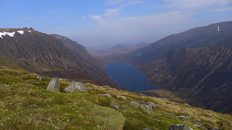

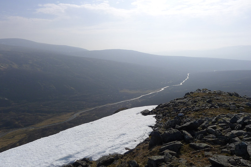
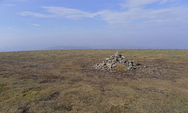
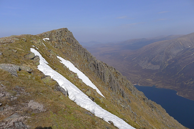
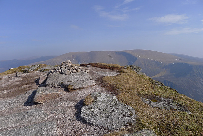
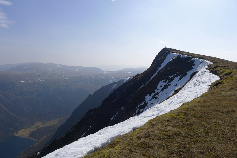
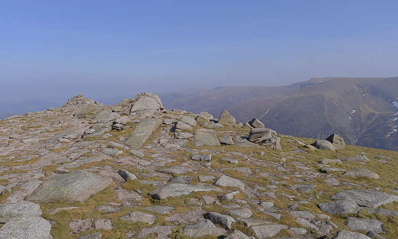
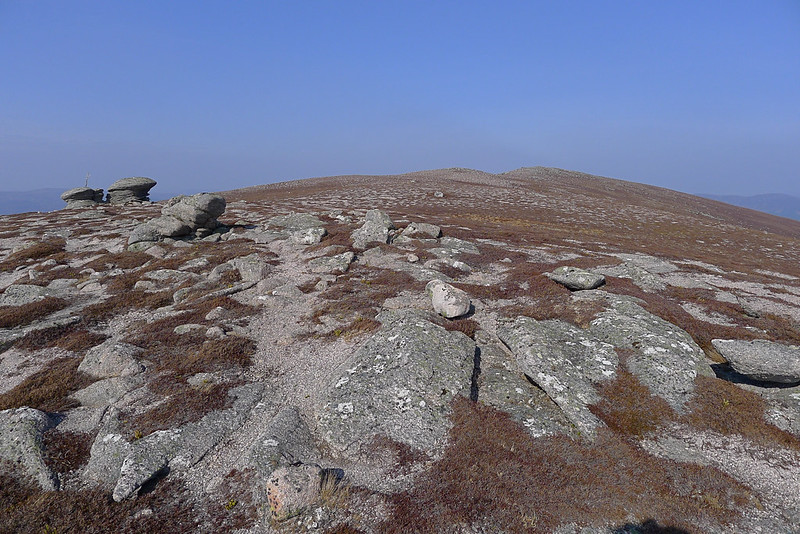
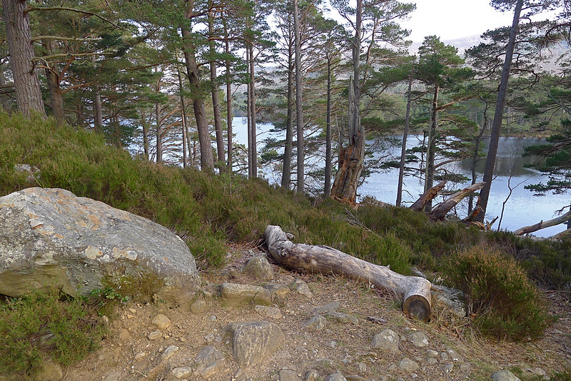
I then made my way along a narrow path that sticks close to the cliff edges providing great views down to the loch and along to the pointed summit of Sgor Gaoith. There was the occasional collapsing cornice to liven up the footfall. Too soon I was at the final slope to the summit, emerging onto a great tumble of rocks with a cairn purchased precariously on top (at 1,118m this was the high point of the trip).

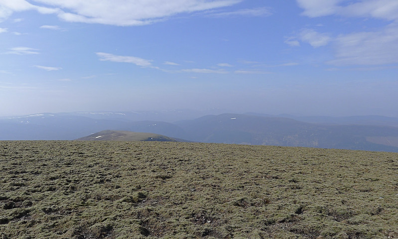
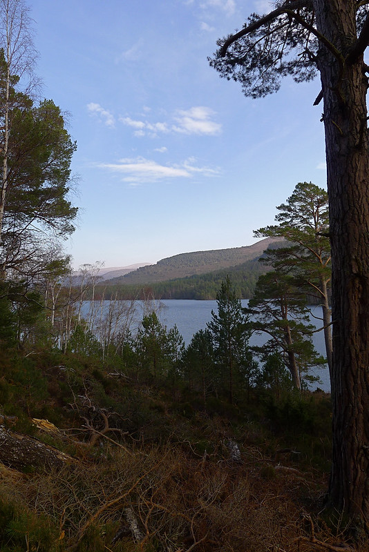
The views down to the loch and across the vast expanse of the Cairngorms were stunning and to the west I now had good, albeit hazy, views out over the Feshie and Spey towards the Monadhliath. I sat on the northern side of the summit, sheltered from a strong wind, and enjoyed another snack, gazing peacefully down to Loch Einich.

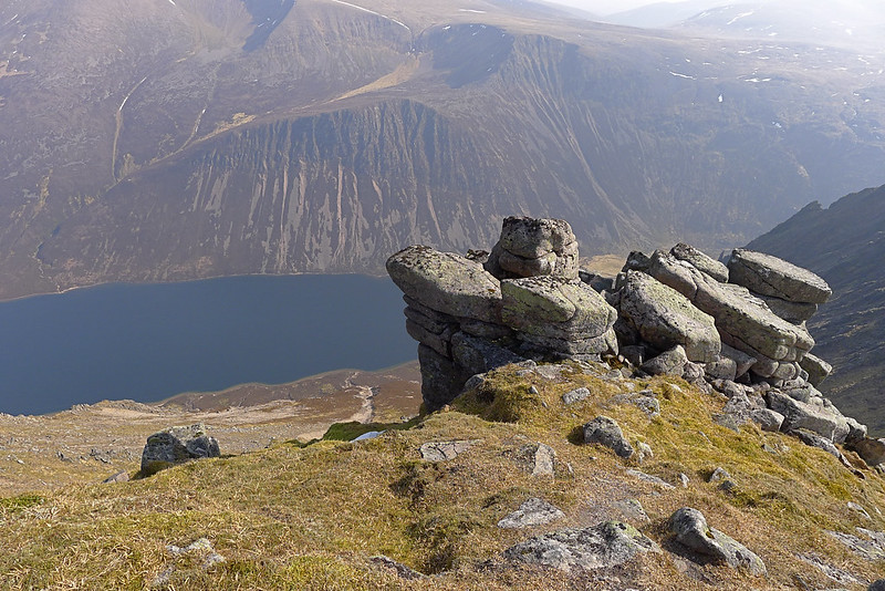
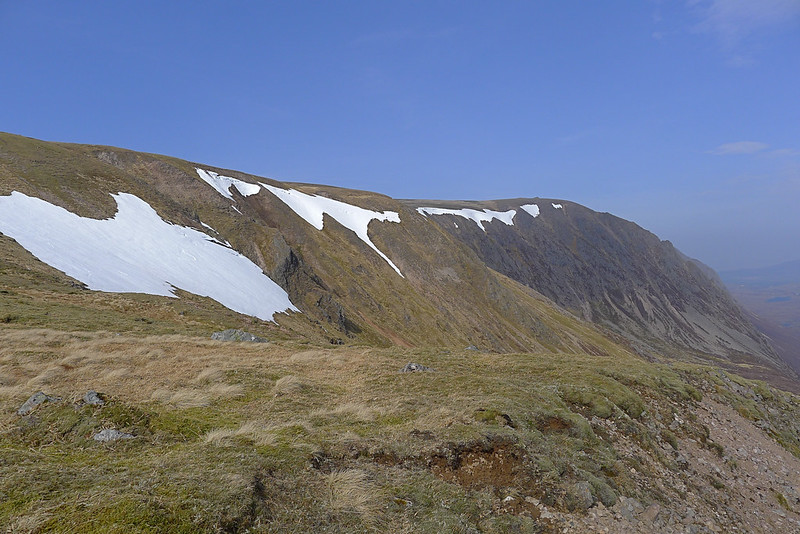
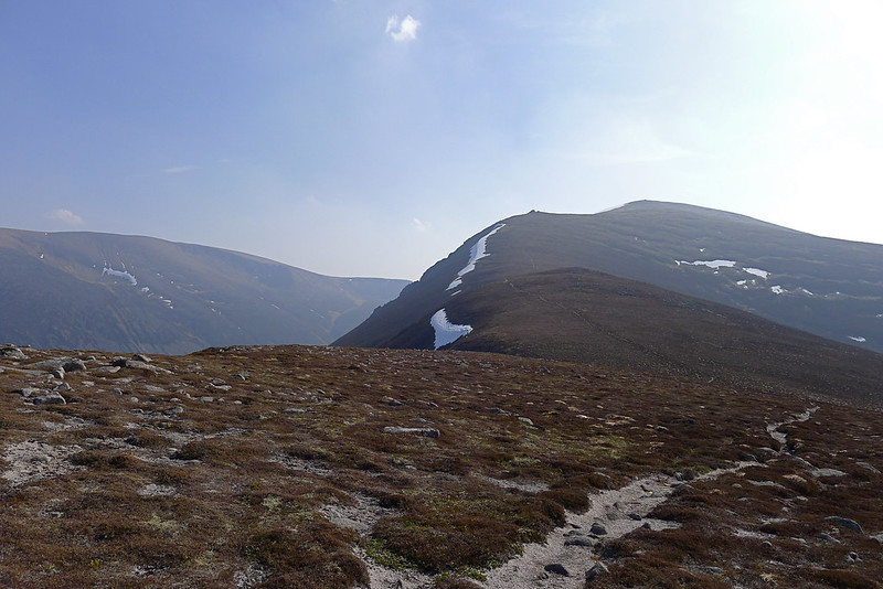
At this point I decided (somewhat foolishly, as I think this led to a subsequent hot spot developing on my foot) that if I hurried I could probably make the 16:55 train from Aviemore. It wasn’t to be but I did increase my pace, following the clear track north to the subsidiary top of Sgoran Dubh Mhor which has a large cairn on a craggy summit. Now it was time to lose a lot of height, dropping down on a ridge to the unnamed spot height at 803m. For the Cairngorms this is a spectacular mountain ridge and as soon as I was away from the relatively busy summit of Sgor Gaoith I was again on my own. I jogged along the final slight climb up to Clach Choutsaich and paused on the rocky summit for my last high views.
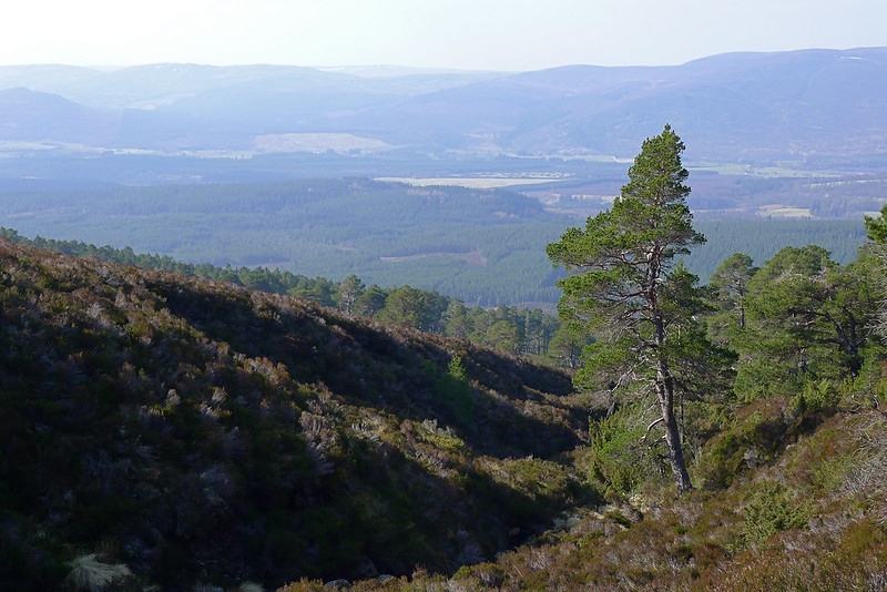
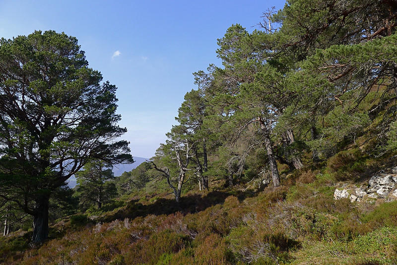
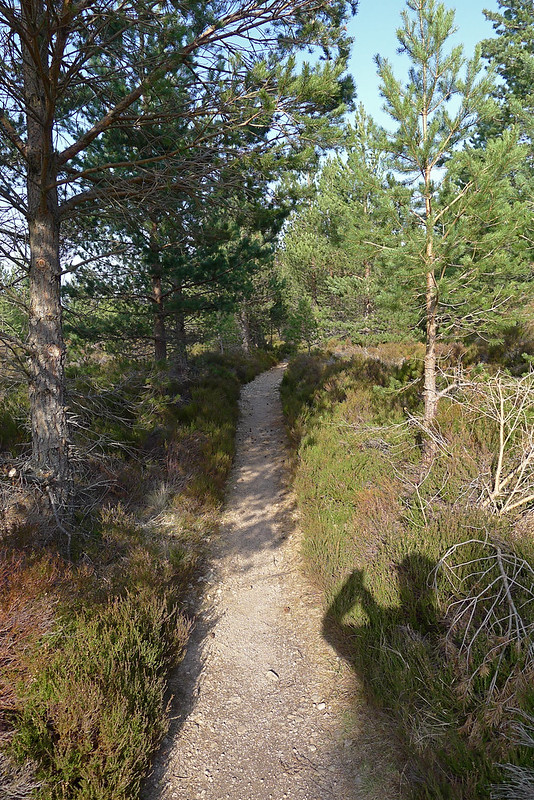
Just as I approached the Argyle Stone I dropped down to a faint path that soon branched off down towards the first trees that fill the narrow Coire Follais. This is a quiet little route which features a fun path, both steep and slidey, that drops down rapidly besides the Allt Coire Follais. In this sheltered coire the temperature rose dramatically and it was a relief to get into the coolish shade of the forest. The path was overgrown and muddy in places but easy enough to follow. At one point fallen trees meant you diverted to the other bank but it was easy enough using fallen logs. As the gradient eased the flora grew higher but the track continued on. Suddenly though it petered out. I thrashed forward through some undergrowth and drawf pines only to find myself suddenly laughing out loud. Here was the main landrover track running down towards Loch an Eilein…
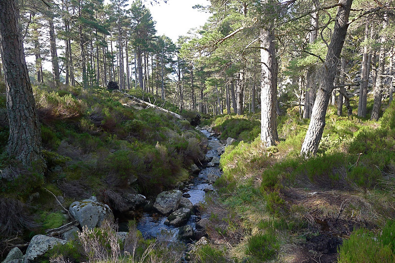
Reaching this clear track was a great weight off my shoulders. I knew now that the navigation, though unfamiliar, was unlikely to go too horribly wrong. The afternoon sun was wonderful and I moved on at a more gentle pace, content now to get to Aviemore at whatever time I arrived.
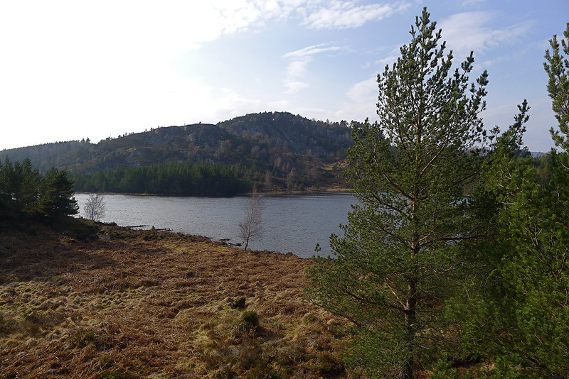
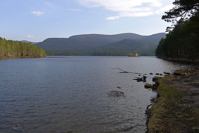
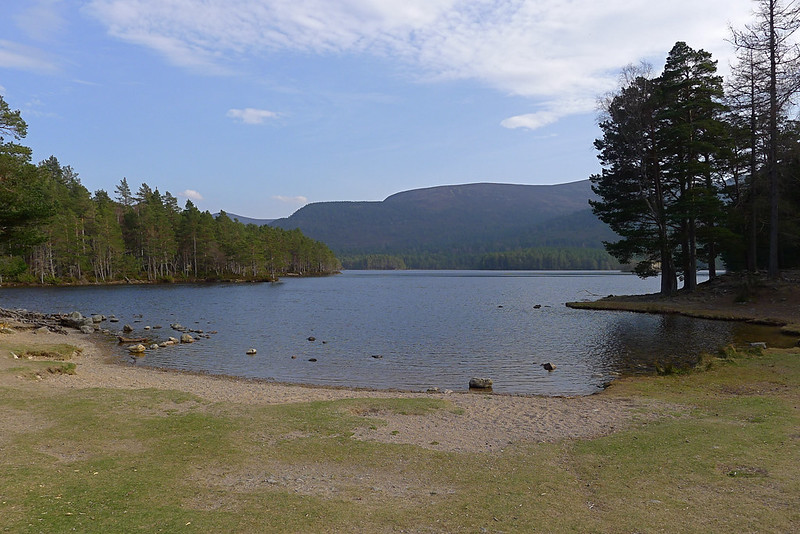
The track took me north and west and soon I spied through the trees the quiet waters of Loch Gamhna, nestled beneath Ord Ban. I joined the path that circumanavigates Loch an Eilein and headed clockwise, pausing occasionally to admire the beautiful views of this little slice of Highland perfection. I felt strangely out of place though. Here I was, dusty and dishevelled after two nights and more than forty miles, whilst scattered around the track were couples and families out enjoying a relaxing Sunday afternoon. It all felt a bit strange.
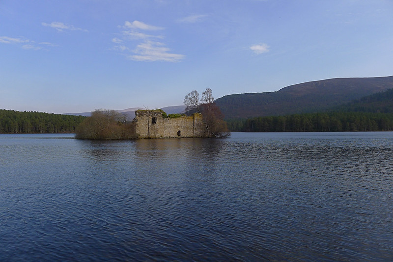
The track quietened down as I approached the ruined castle and as I reached the far corner of the loch there was just one guy taking his kayak out of the water. I sat down on the shores and just breathed it all in: the faint smell of springtime; the cool water lapping at the shore; and the dark march of the Northern Corries beyond the pines.
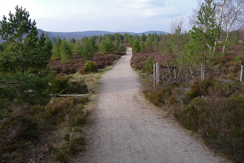
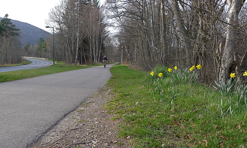
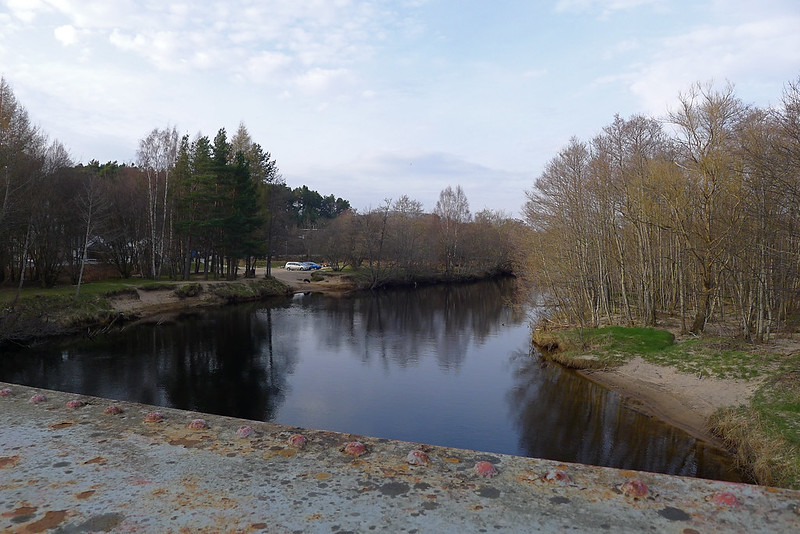
I now briefly had some roadwalking to do, crossing the low hill to a series of crofts and holiday homes. The path is marked as heading off to the left but this appeared to run through someone’s garage so I deviated slightly, eventually doubling back on myself a short way to get back on track. After another short stretch on a good path I emerged at the main road which runs up to the Ski Centre. It was busy with cars heading back down at the end of the day, but at least there is a cycleway and path besides it which I followed all the way along to the River Spey.
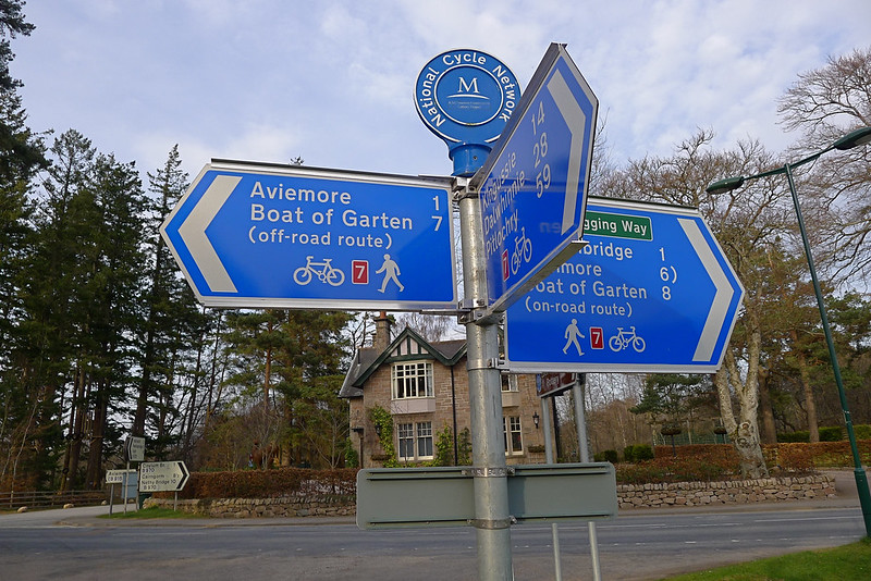
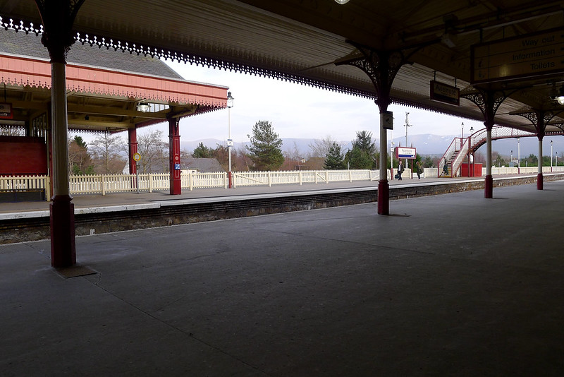
Once across the river it was a right turn and then a short march along the road to the station in Aviemore. By now my feet were weary and the extra effort after Sgor Gaoith had given me a rather unpleasant hotspot. It was therefore a huge relief to sit down on a station bench and finally put my feet up.
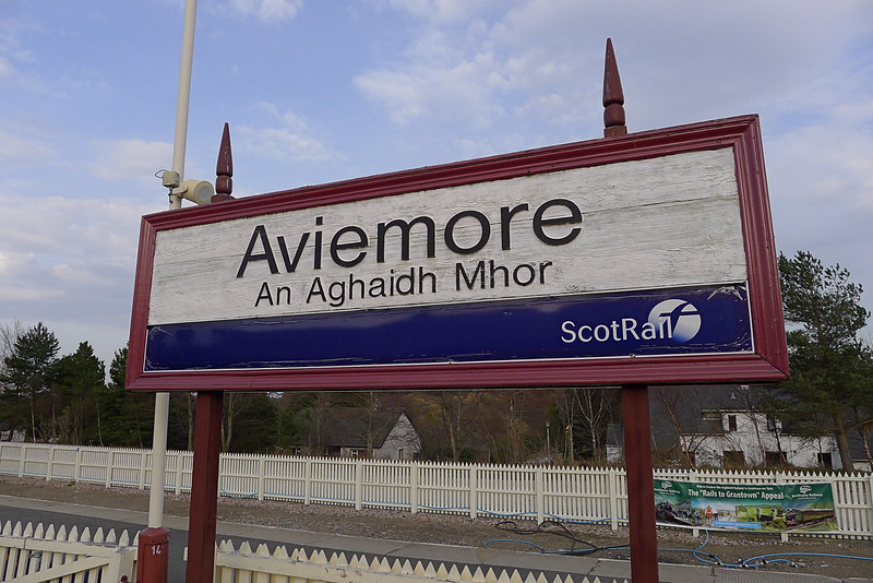
I didn’t have too long to wait for a train so contented myself with fish and chips from a nearby establishment. I would have preferred a pint but didn’t think I had the time to wait. This meant of course that the train was delayed! With my feet up and a healthy dose of ultra-fatty calories, the extra twenty minutes were no great matter and soon enough I was leaving Aviemore heading north on a train that pleasingly had a more than healthy proportion of Gaelic speakers. The sun gradually sank beyond the hills as we climbed over the Slochd; a spectacular end to a spectacular day.
At Inverness I found a quiet watering hole near the station and enjoyed a couple of ice cold lagers whilst reading a bit more of my book and then it was the train ride back to Aberdeen, marred only by the usual weekend drunks heading back from their time in the big city…
Whilst actually doing the walk I didn’t have such a great feel for moving through a landscape. In fact it felt like more of a short series of day trips you might do on a walking holiday or weekend away. But as soon as I was on the train, lights flashing past the window, the bubble of conversation around me, I closed my eyes and immediately started to get a sense of that journey, the distance I had covered, and the experience of being in that wild landscape, far from any major human activity. Looking back now at the photos and writing these words I feel privileged that I got to experience such a landscape in this way, that I stuck to my plan, and that the weather was kind.