Date: 5th June 2012
Distance: 16.47km (cumulative trip total: 66.72km)
Ascent: 203m (cumulative trip total: 3,299m)
Time: 4hrs 1min (cumulative trip total: 21hrs 34min)
Hills: None
Weather: Sunny with a cool breeze
Route: Click to view on an OS Map
If you missed Part 1 or Part 2 of this outing then you can read Part 1 here and Part 2 here.
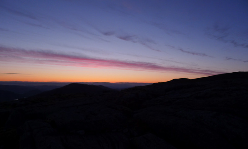
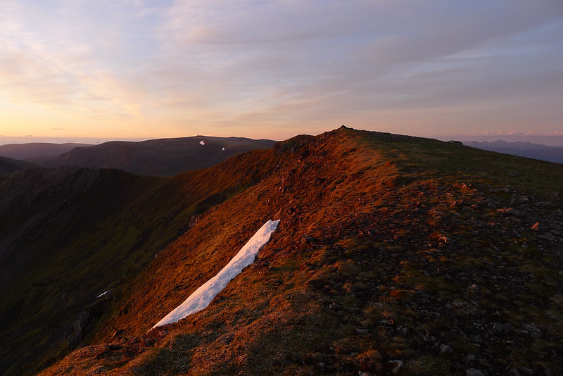
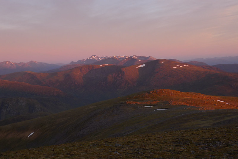
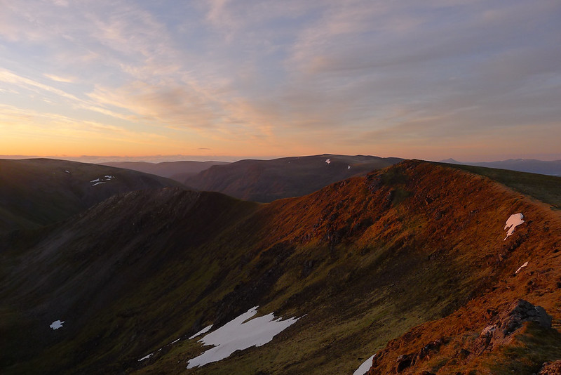
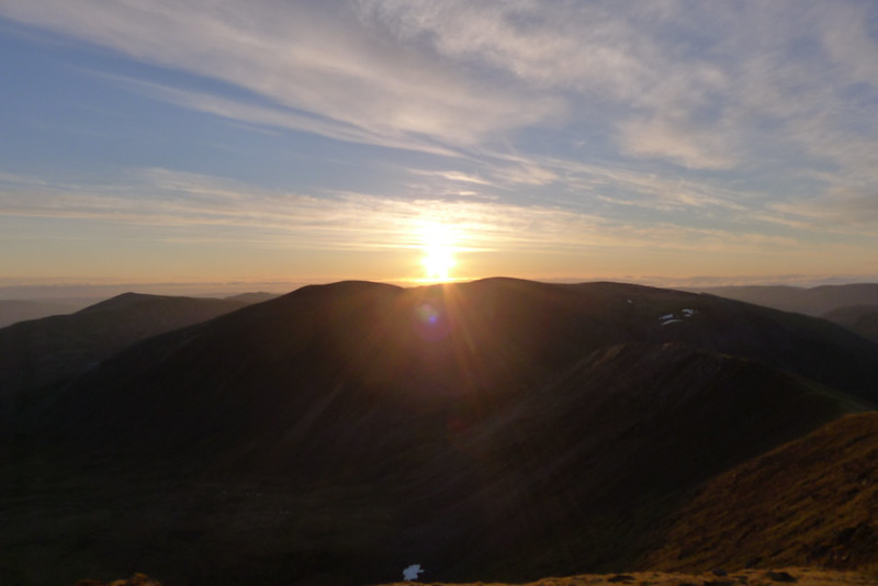
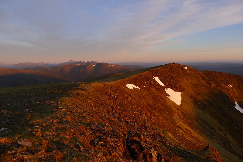
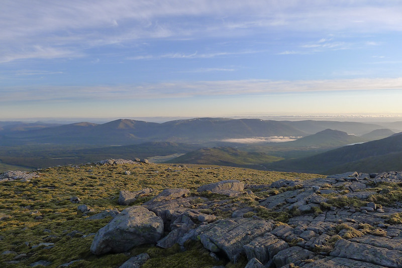
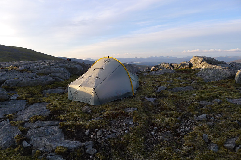
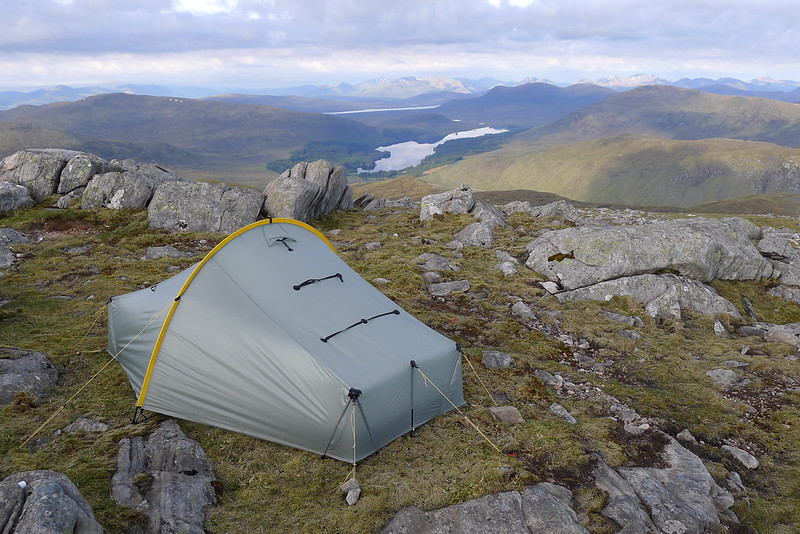
Wrapped up in my down sleeping bag on my incredibly comfy air bed, itself resting on wonderfully soft mountain turf, I was at first very confused about where I was and what my alarm was doing going off at the uncivilised hour of 4am. Then it came back to me, I was camped just a short distance away from the summit of a Munro. A few minutes spent outside the tent around midnight had shown a clear sky which promised great things for the dawn. Reluctantly I unzipped my bag and sleepily dragged my clothes back on. Stifling a yawn I unzipped the inner of my tent and peered out. The pre-dawn sky was a deep indigo with bands of red cloud sitting just above the golden haze of the horizon. My legs were objecting to more physical exercise so soon after a twenty mile day but I cajoled them into action and we got up to the summit cairn of Beinn Eibhinn just in time to see the sun peek above the eastern hills. The quality and colour of the light was just staggering and I spent a happy half hour wandering around snapping photos and breathing in this utterly magical time of day. In a cruel season of wet and windy weather this was truly a summer morning to savour.
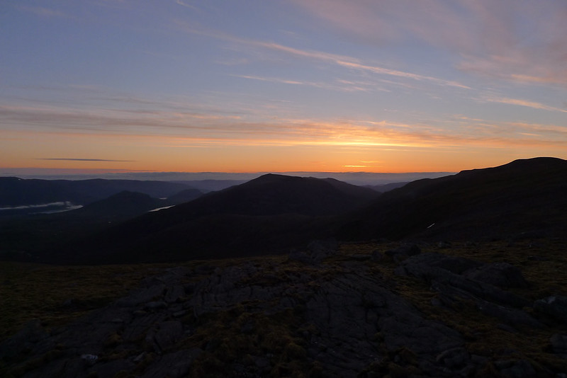
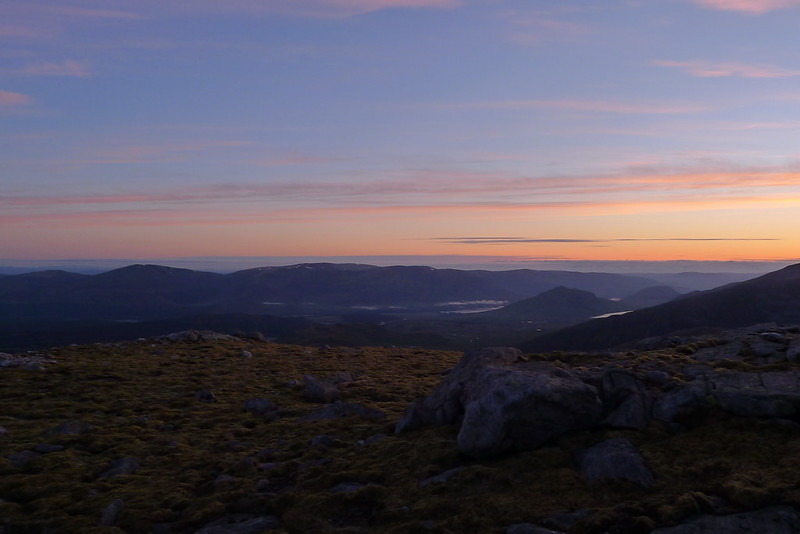

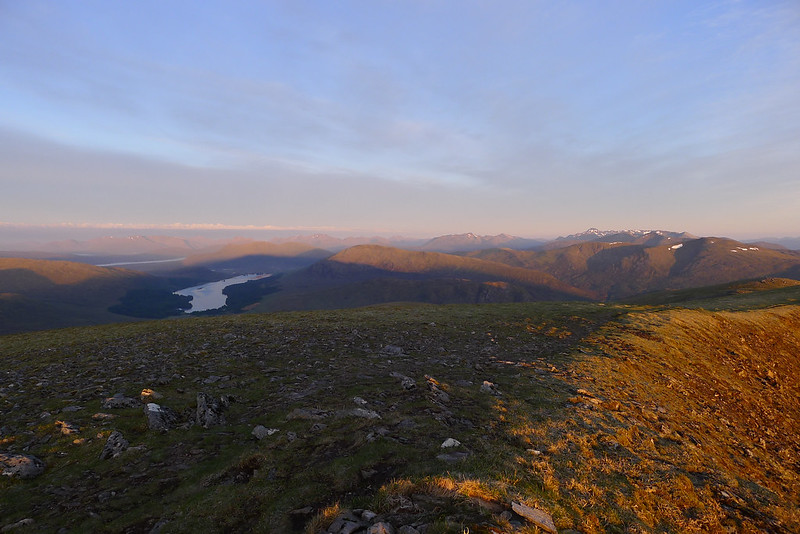
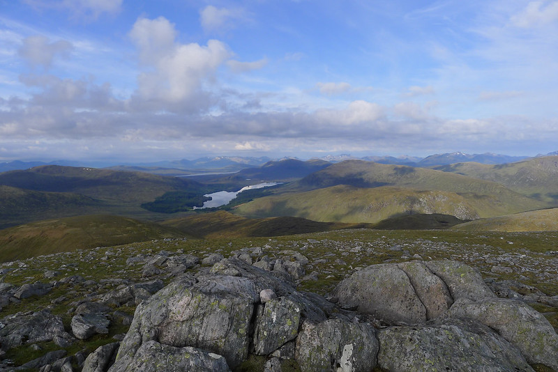
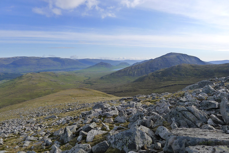
The Mamores, Ben Nevis and a vast sweep of the southern Highlands around to the Lawers Range were red in the early light and closer too the peaks of yesterday, Aonach Beag and Gael-Charn, stood darkly silhouetted against the rising sun. Slightly further off the humpback of Ben Alder was a fiery heap.
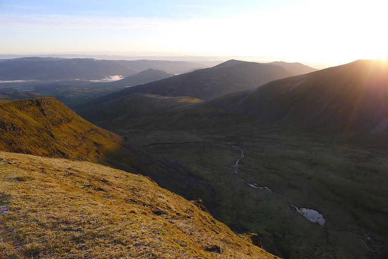
As the day began and the light shifted to more natural colours I dropped back down the tent, my body ready for caffeine and a dose of sugary oats. The stove was fired up and I soon had a coffee and porridge in hand. Although I had a the possibility of another full day ahead of me, I was keen to get back home mid-afternoon and so got myself packed up soon after breakfast.
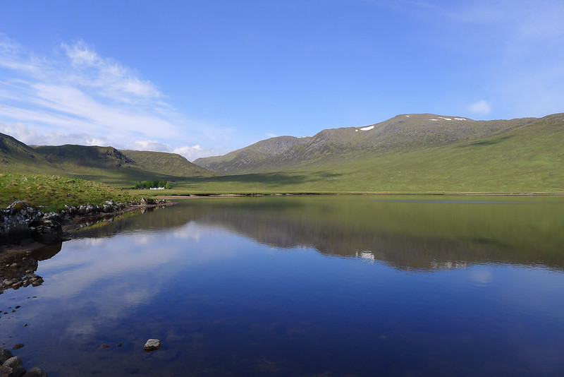
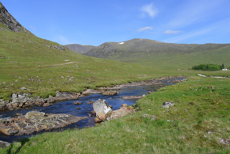
I had scoped the ridge immediately north of the campsite the evening before and after filling up my bottle with more snowmelt I descended the easy slopes towards the western end of An Lairig. As I approached the lower slopes the terrain got a little steeper and a little boggier but without too much trouble I was down and standing besides the still waters of Loch Guilbhinn.
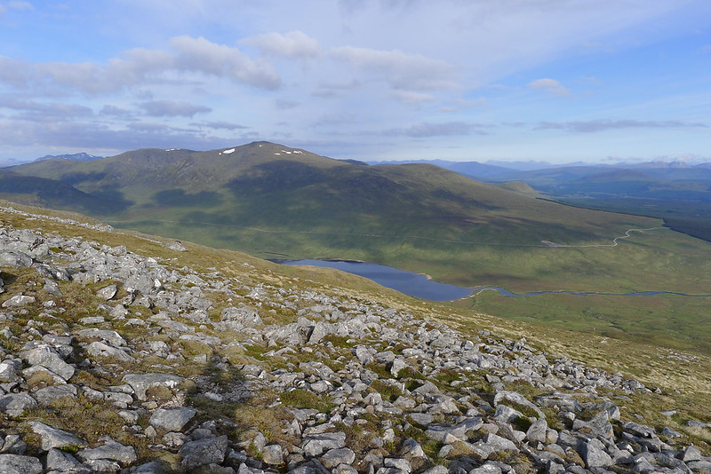
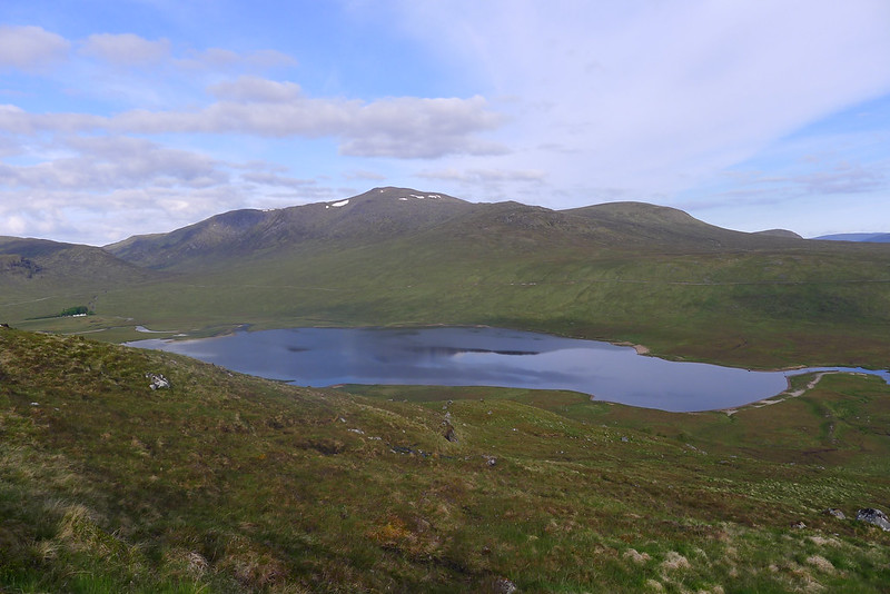
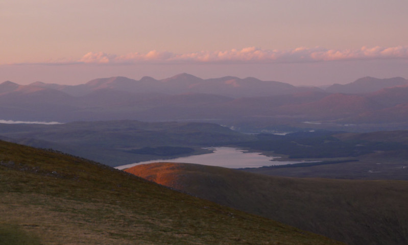
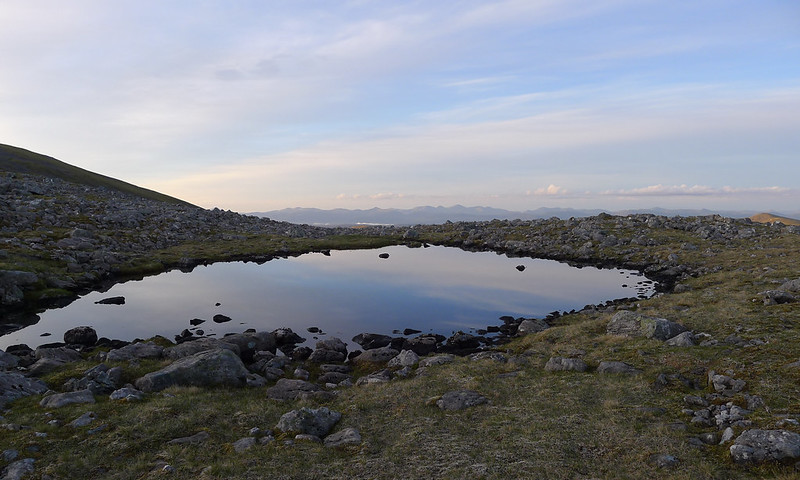
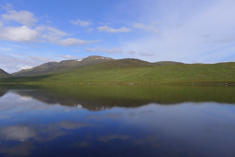
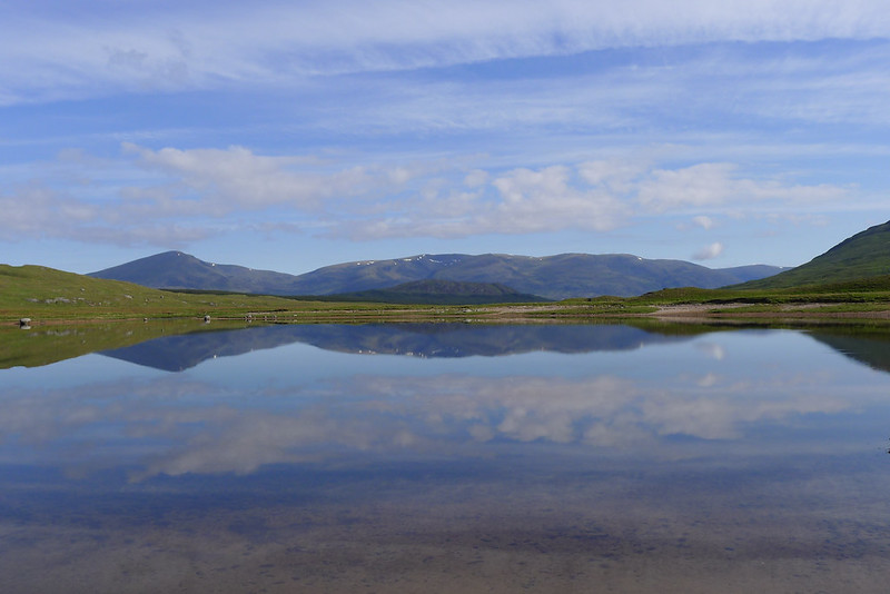
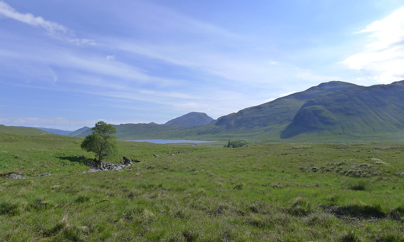
With minimal water at height I had resolved to complete my morning ablutions down at the loch and so here I washed and brushed my teeth. The waters were incredibly still, the hills above Strath Ossian and the Munro of Chno Dearg framed in perfect symmetry. At one point I startled a small fish out of the water and had some trouble encouraging it back into the loch…!
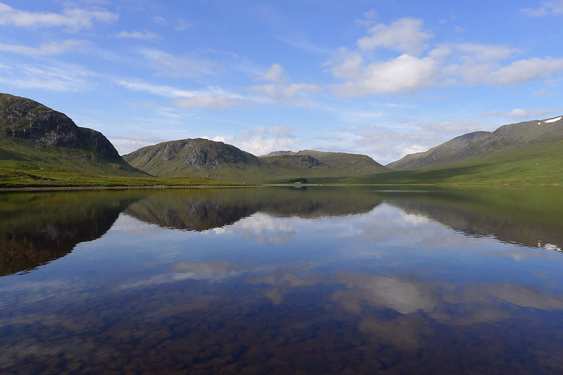
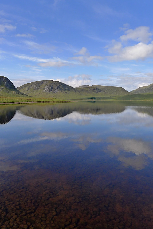
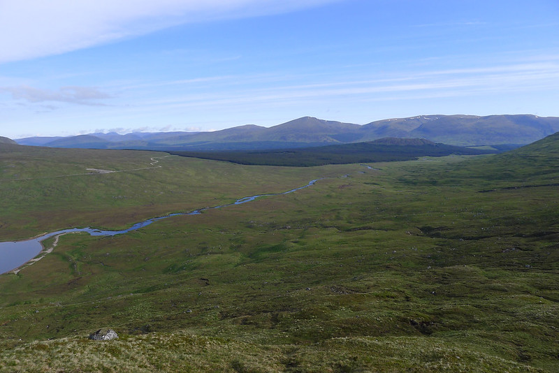
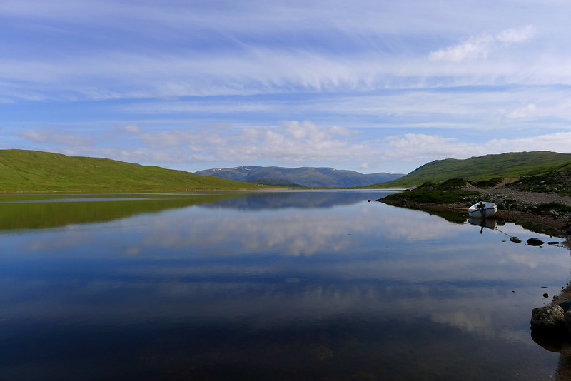
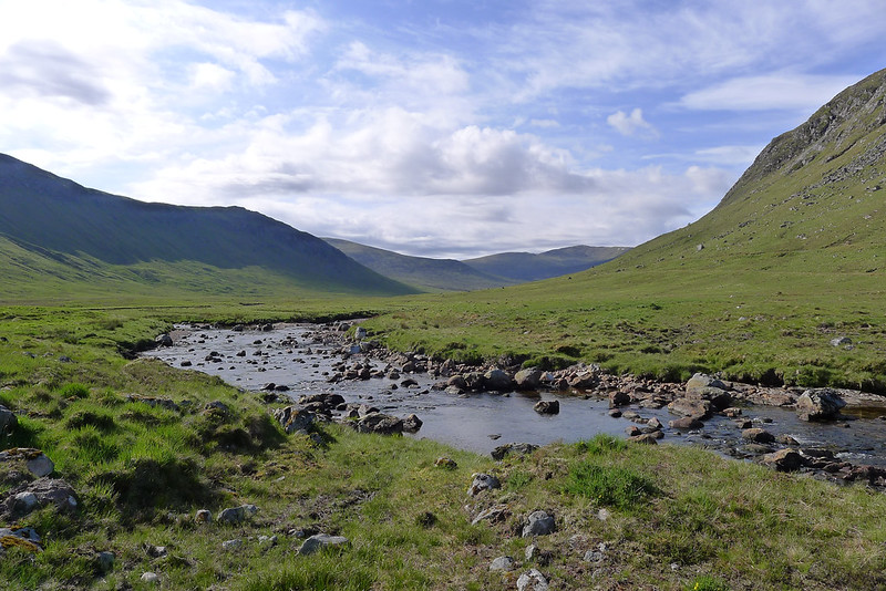
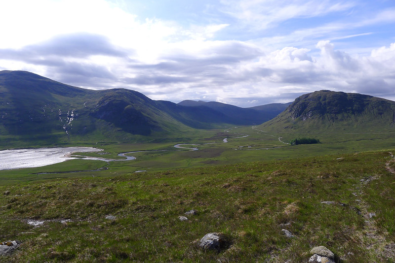
After a cereal bar taken sitting besides the loch I made my way down its eastern shore towards Strath Ossian. It may be possible to cut off this large diversion by wading across the Abhainn Ghuilbhinn near the northern end of the loch but I was in no rush and so took the longer, dryer way around. I passed a small boat pulled up on the shore and then was heading along and amongst the glacial moraines into Strath Ossian.
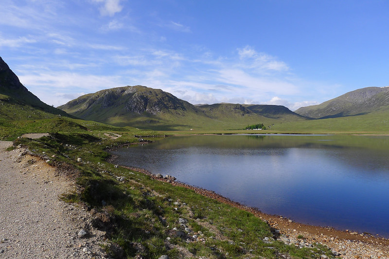
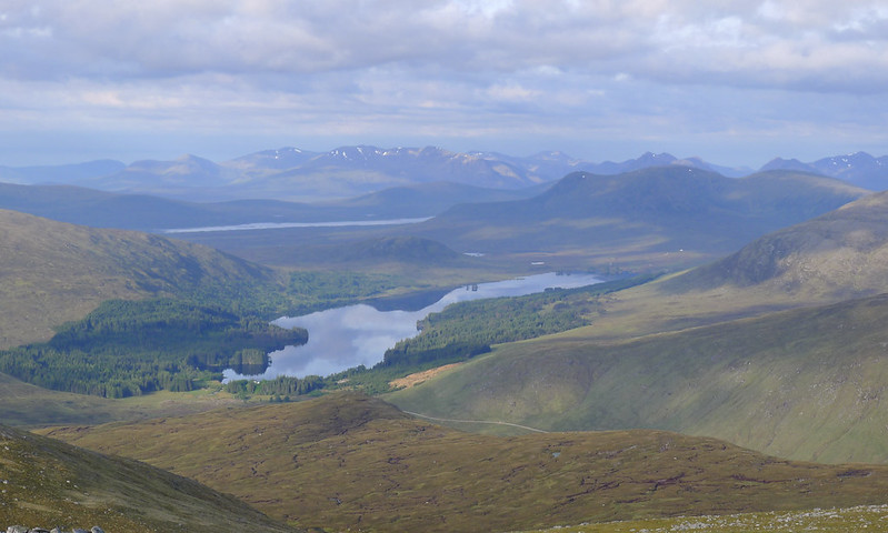
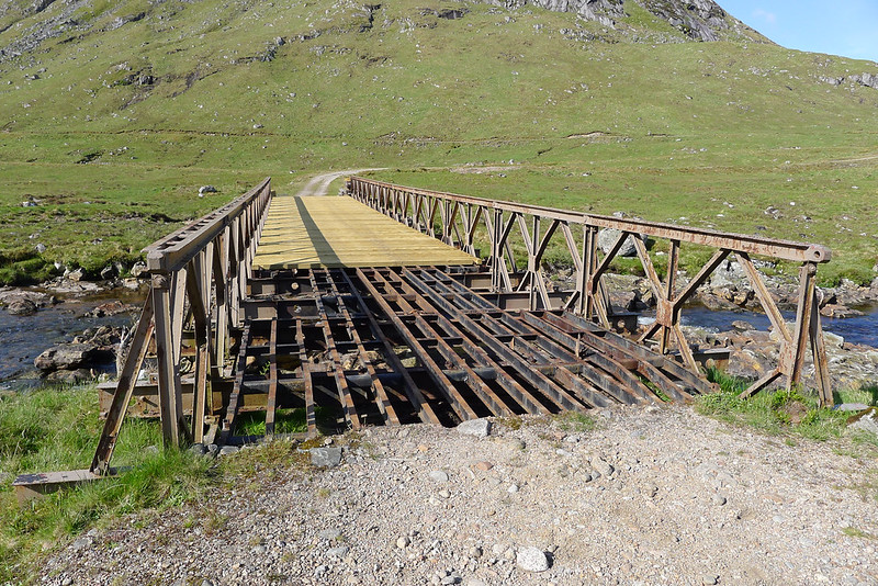
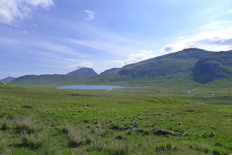
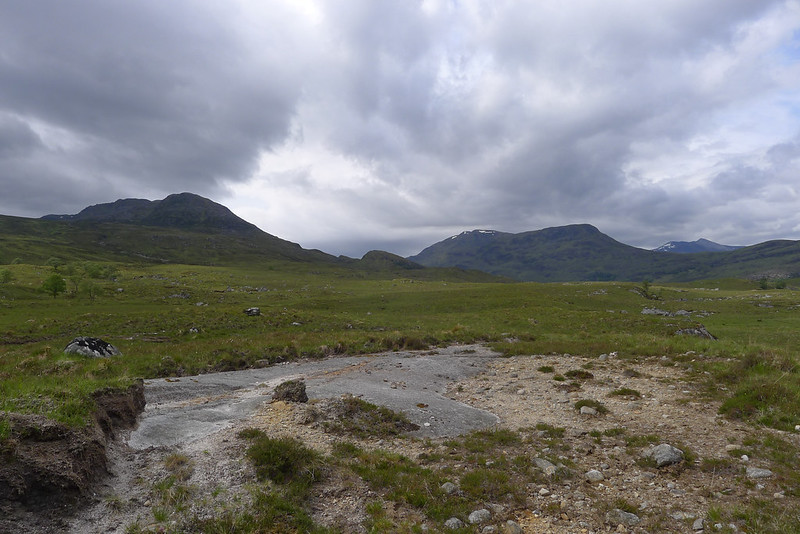
Here I intended to cross the River Ossian by way of the vehicle bridge. When I reached it however it appeared that bridge maintenance was being undertaken and had perhaps been interrupted by the Jubilee Weekend. New planks stretched from the far side to approximately three quarter distance, and then stopped. On my side there were just the bare, widely spaced girders. I very cautiously made my way across and it was with a great deal of relief that I reached the planks. After this it was a gentle climb on the track up above Strathossian House which enjoyed beautiful views back to Beinn Eibhinn and Strath Ossian and up towards the summit of Chno Dearg.
In the planning stage I had thought about heading over Chno Dearg and the other Loch Treig Munro which now lay between me and Fersit but the weather forecast for Tuesday had been for a marked deterioration and I didn't want to get caught high if it turned. I was also quite happy with the lower level route which would take me more gently back to the car. Despite this being a private route and it being holiday Tuesday of the Jubilee Celebrations there was quite a bit of traffic on the "road" including what looked to be holiday cars presumably going to Loch Ossian to stay there.
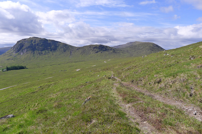
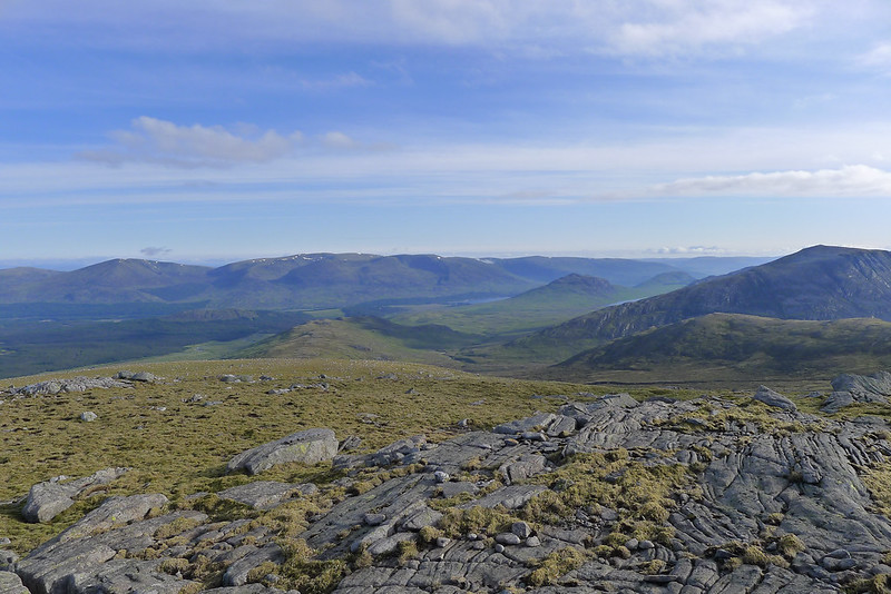
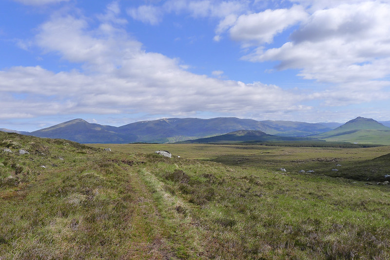
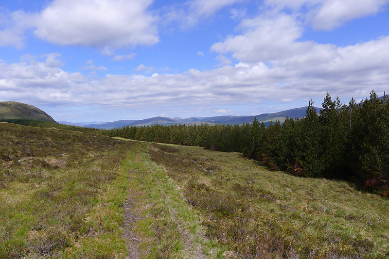
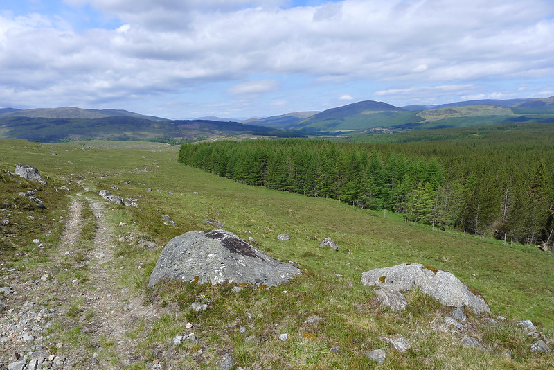
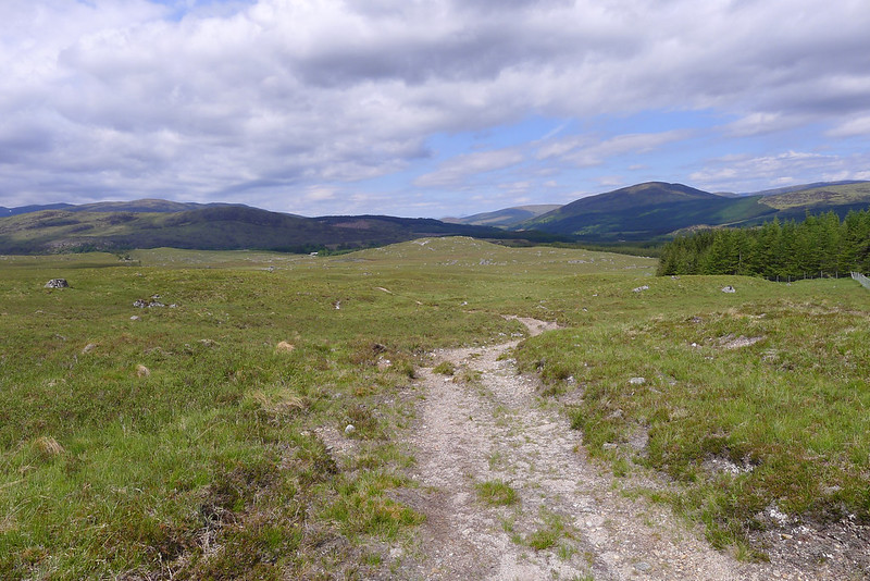
Happily I soon left the "road" and took the footpath which climbs up and over the low shoulder of Chno Dearg with find views back towards the Aonach Beag group and forward to Creag Meagaidh above Glen Spean.
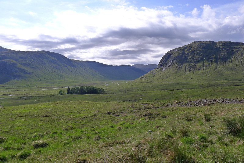
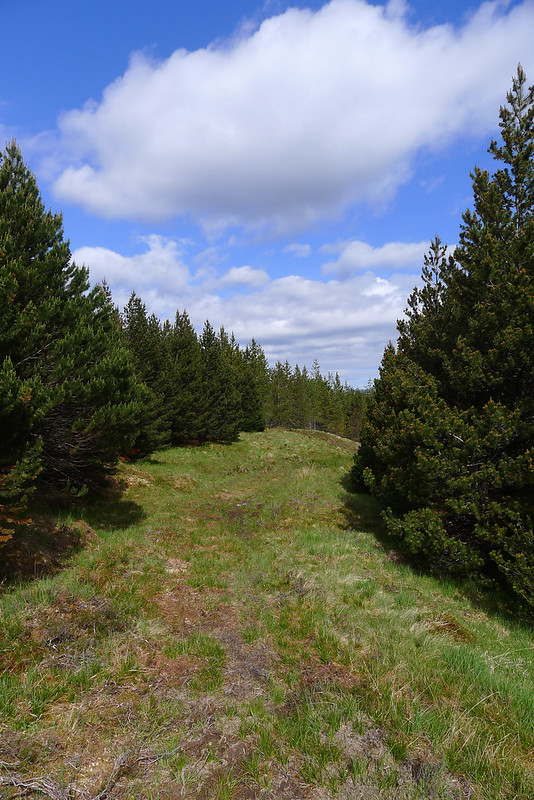
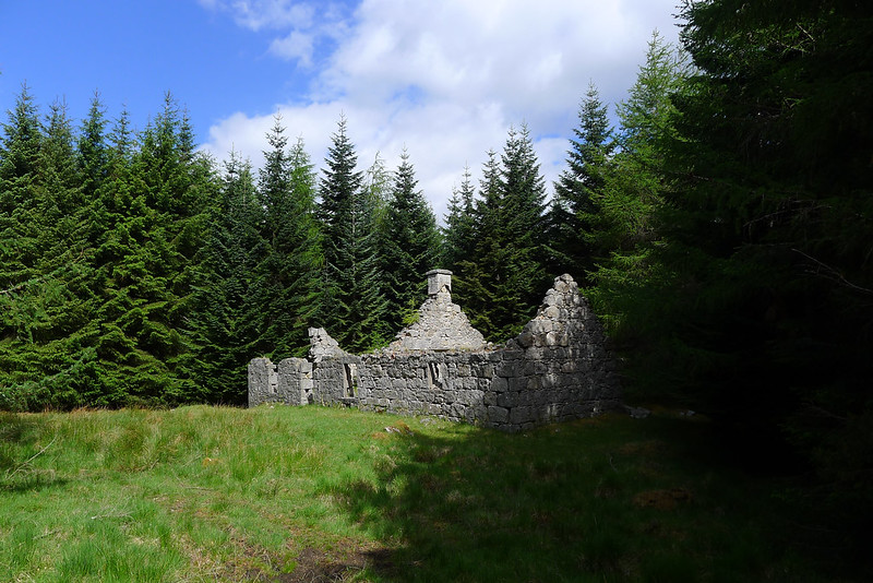
Eventually you drop down into a quite dense wood which is quite a novelty on a Scottish hill walk. After the exposed hillside it was very different in amongst the gloom of the pines and the ruined cottage was a little spooky even with the sun rising overhead - I'm glad I didn't walk out this way on an evening.
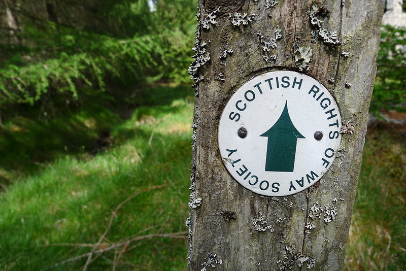
I soon came across a Scottish Rights of Way way marker and after this the forest itself came to an end with me standing above a lumpy stretch of countryside that angled gently down towards the River Treig and my car parked at Fersit. The blue skies were fading rapidly and ominous looking clouds were gathering as I made my way through the boggy flatlands to reach the farm track that would guide me through the scattered settlement of Fersit. Across the river and up the far bank and it was with some relief that I saw my car still parked where I had left it a couple of days earlier.
It had taken me four hours from the summit of Beinn Eibhinn to get back to Fersit and thanks to my early start it wasn't even midday yet. This gave me the opportunity for a relaxed drive back east stopping for coffee in Newtonmore and finally getting back to Aberdeen mid afternoon where I had thankfully missed much of the Jubilee shenanigans. Sadly though the bank holiday was being observed by the fish & chip shop and so the celebratory meal was slightly modified in deference to the Queen and my gratitude for the three days of perfect Jubilee weather.