In May 2013 I backpacked across Scotland. This is part three of the trip report which covers the days from Aviemore to North Water Bridge.
This is Part 3 of my TGO Challenge 2013 which picks up the story on Day 9 after an overnight stay and re-supply in a very wet Aviemore. If you missed them you can catch up on Part 1, covering Days 1 to 5, at this link, and Part 2, covering Days 6 to 8, at this link.
Route
As a reminder here is my route as recorded by my Spot Messenger over the course of the Crossing. You can zoom in and scroll around to explore my actual track (in orange) and my planned route (in green).
Day 9, Sunday 19th May
Route: Aviemore to Wild Camp in Glen Derry
Distance: 30km (Total: 214km)
Hills: Lurcher’s Crag, Ben MacDui (Munro)
It turned out that the previous evening I had not managed to successfully plug my phone into the charger. It of course died sometime in the night and so I ended up waking up with a jolt at 8:50am, almost three hours later than had been my norm on the Challenge so far! Unfortunately I’d agreed with Rich that we’d be walking by 9, so the much hoped for relaxed morning turned into rather a rush: de-packaging and sorting out food; showering and packing the sack; and charging the dead phone as much as possible. I felt rather annoyed with myself, especially as I wouldn’t get much of a chance to charge my phone between now and the East Coast. Luckily I had charged my battery pack the previous evening.
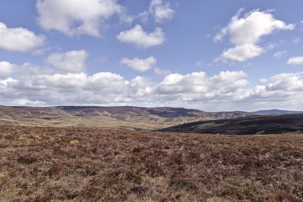
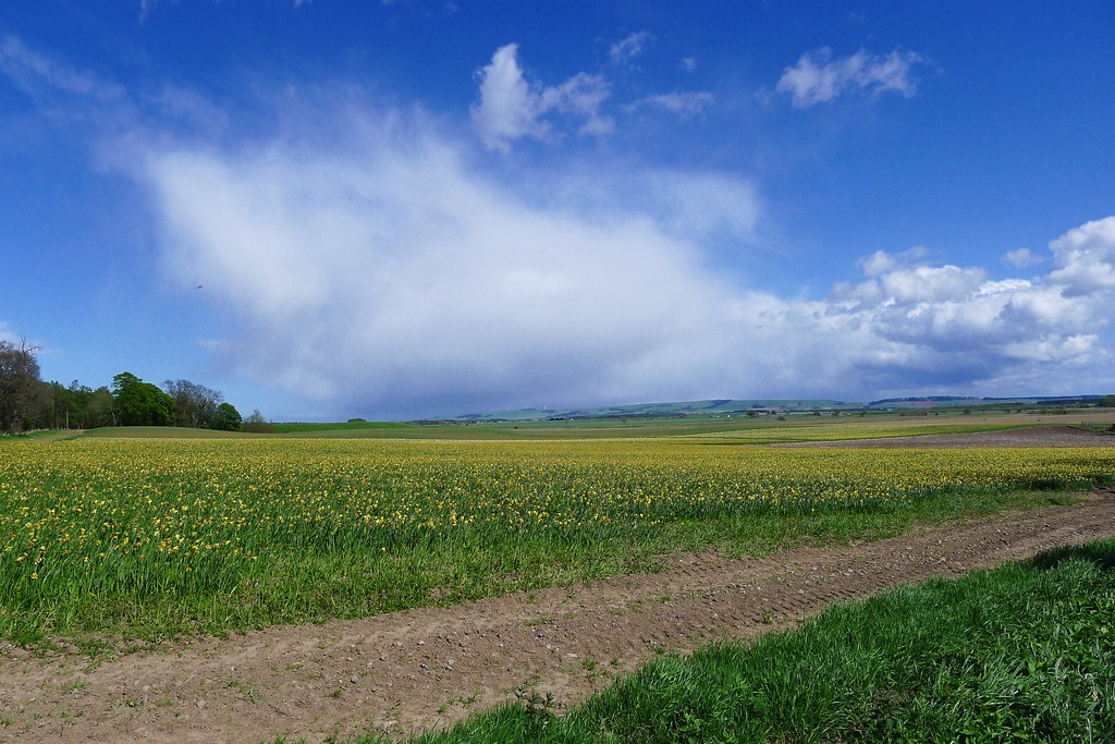
After a bit more faffing we got going by about 10am. The skies were grey with plenty of low cloud hanging over Aviemore, whilst the temperature was noticeably more pleasant than in recent days. Despite the greyness we were still quietly confident that we’d find the sun higher up.
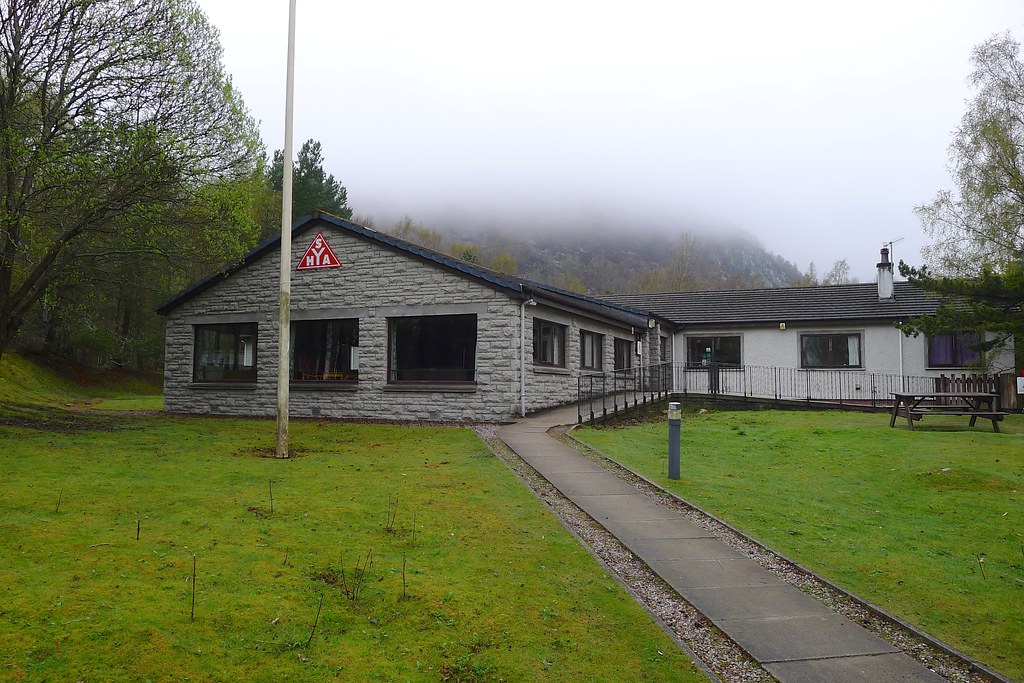
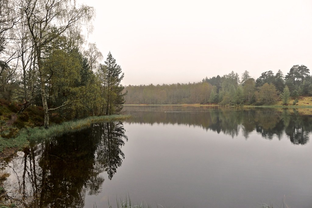
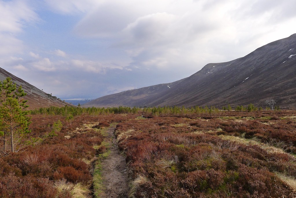
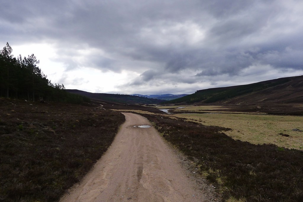
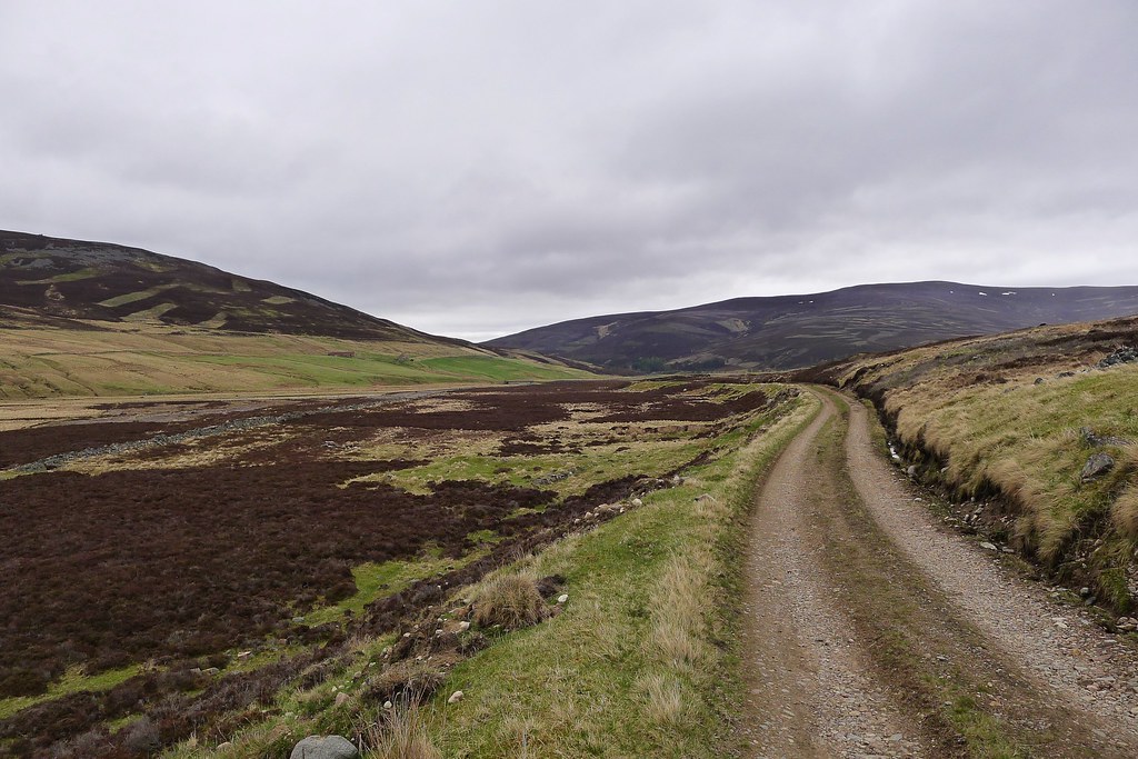
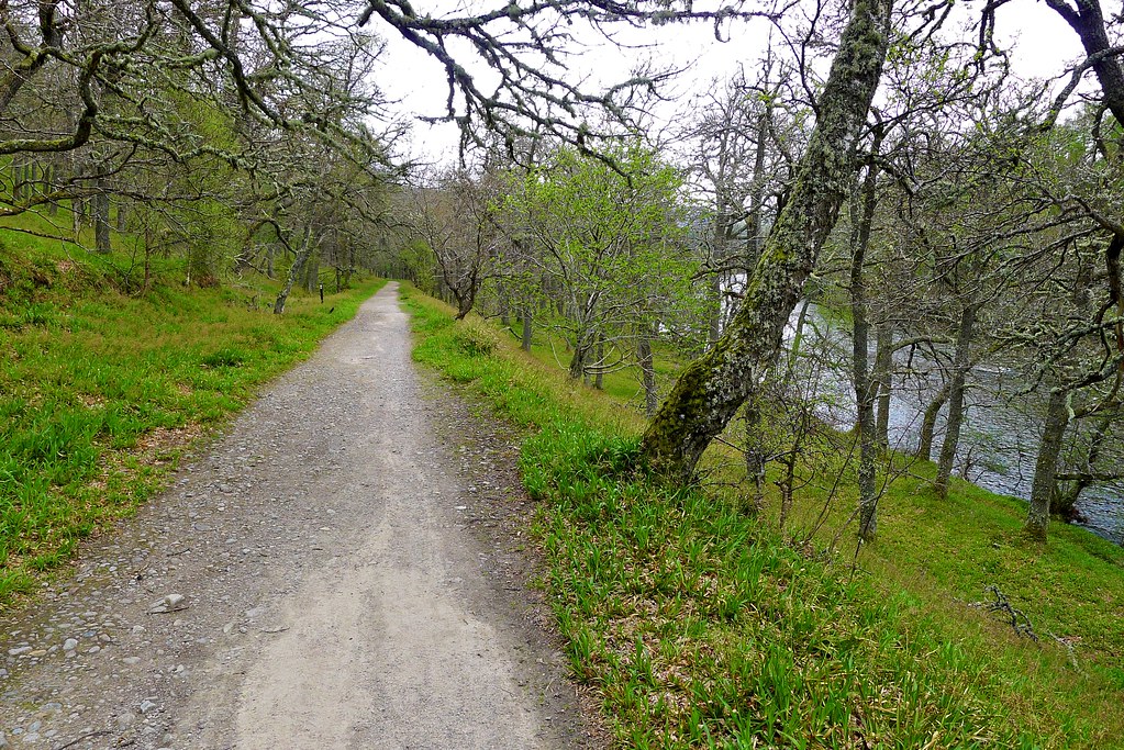
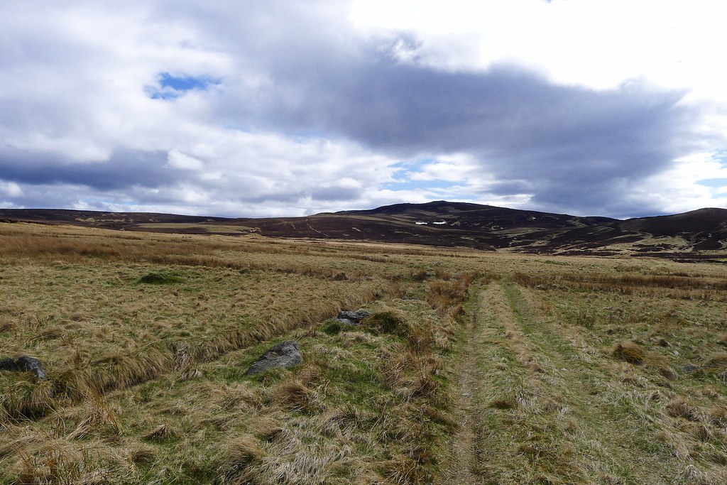
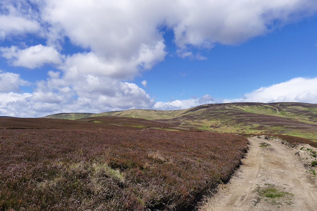
We left Aviemore by the main road, following the cycleway a short distance towards Coylumbridge before leaving the tarmac to pick up one of the many tracks that weaves its way through the wonderful Rothiemurchas forest. We ambled along, enjoying the damp woods and the still lochans. A short stretch of road walking then took us down to Loch an Eilien. We did get a few strange looks from the tourists heading down the road to the popular car park but once on the north shore they and their metal boxes were left behind and we were back in pleasant, peaceful surrounds.
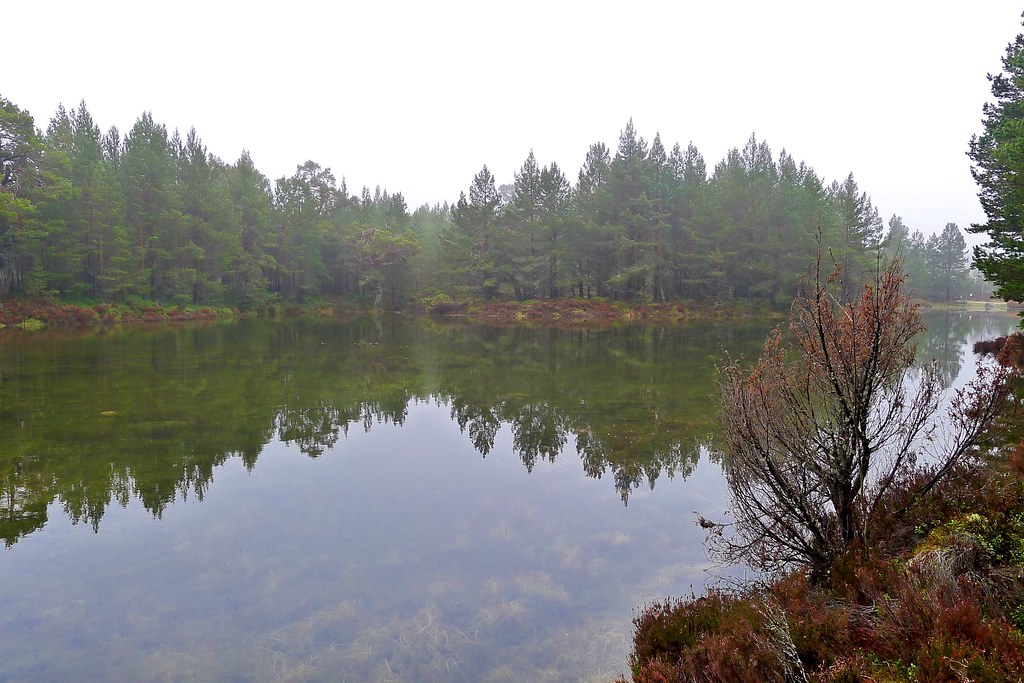
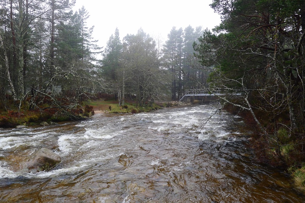
After Loch an Eilien we were back on woodland tracks, skirting the loch by its northern shore and then following tracks through thinning pines to the Lairig Ghru junction near Whitewell. The Allt Beahdaidh crossed by the Cairngorm Club footbridge was a torrent of turbulent water and we paused briefly by the bank to take photos. As we started the climb up we caught up with a guy plodding along under the weight of a heavy-looking canvas pack. He was up from England, supplied for 6 or so days wandering around the Cairngorms, and was already regretting wearing lined trousers as the close air amongst the pines was warm and humid.
We wound our way up the track, through the woods with the stream tumbling below us. The cloud was obstinate and views didn’t materialise. We came into the lower reaches of the Lairig Ghru and here caught up with a Challenger from Oxfordshire. He’d had a late start from by the Cairngorm Club bridge and was having an easy-paced stroll through the Ghru towards Mar Lodge.
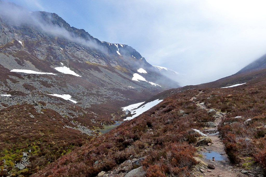
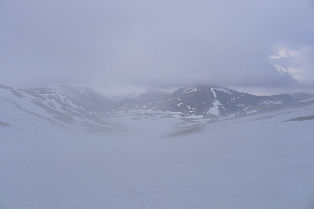
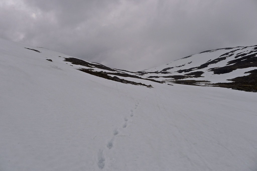
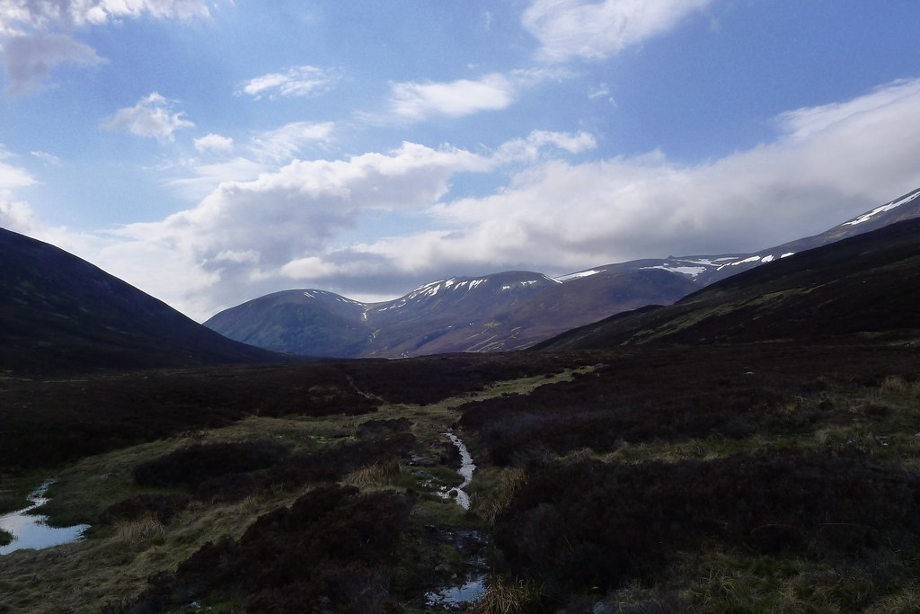
We came into the narrow upper part of the pass and here found deep lingering stretches of snow pasted over the boulders. The surface seemed solid enough and there was plenty of indication of the passage of feet in the last few days. The slow climb up the snow in the misty ravine was very atmospheric and as we came upon the area where the Sinclair hut used to stand we decided to take a break for lunch.
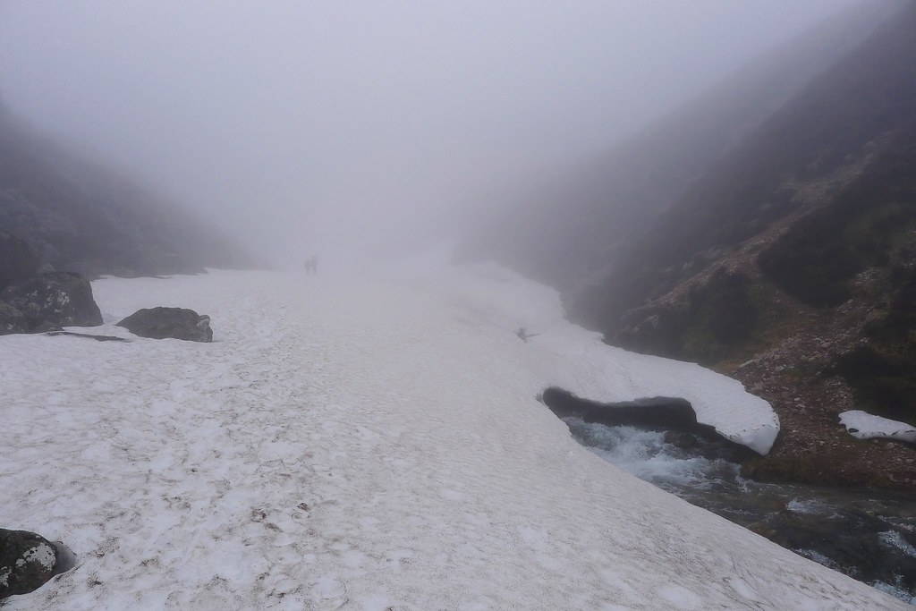
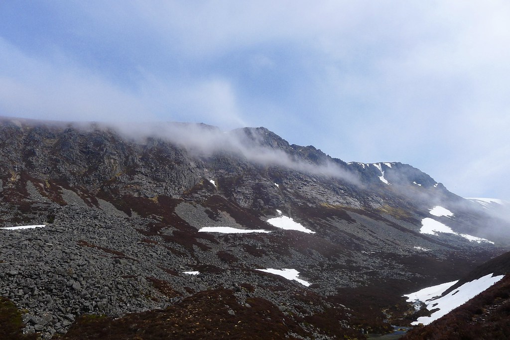
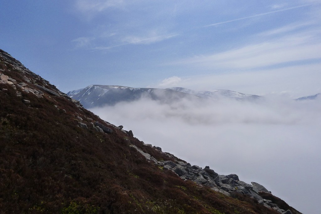
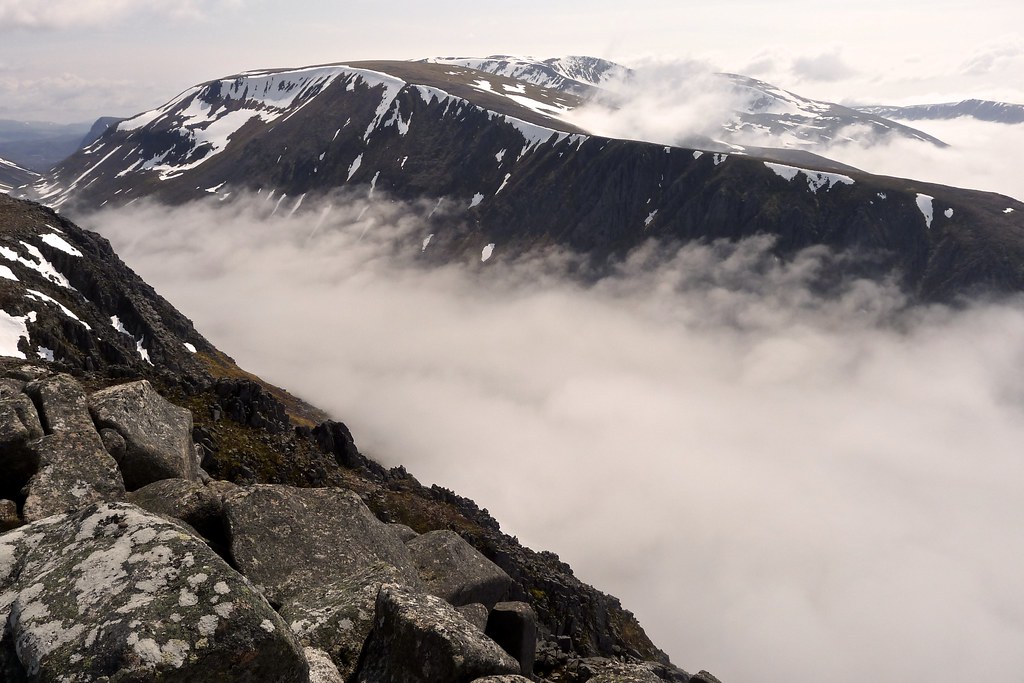
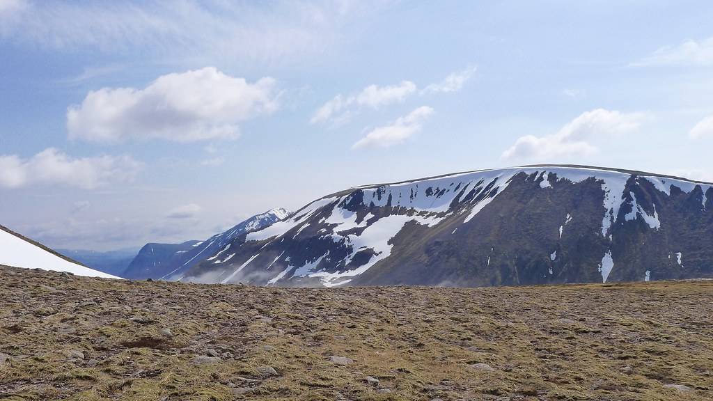
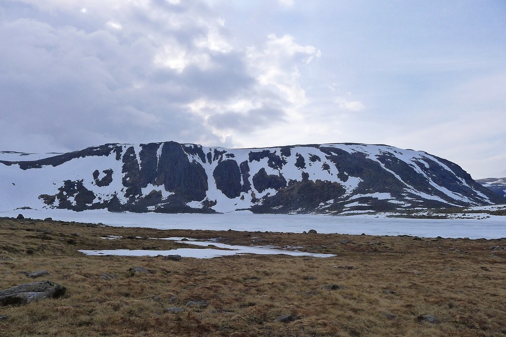
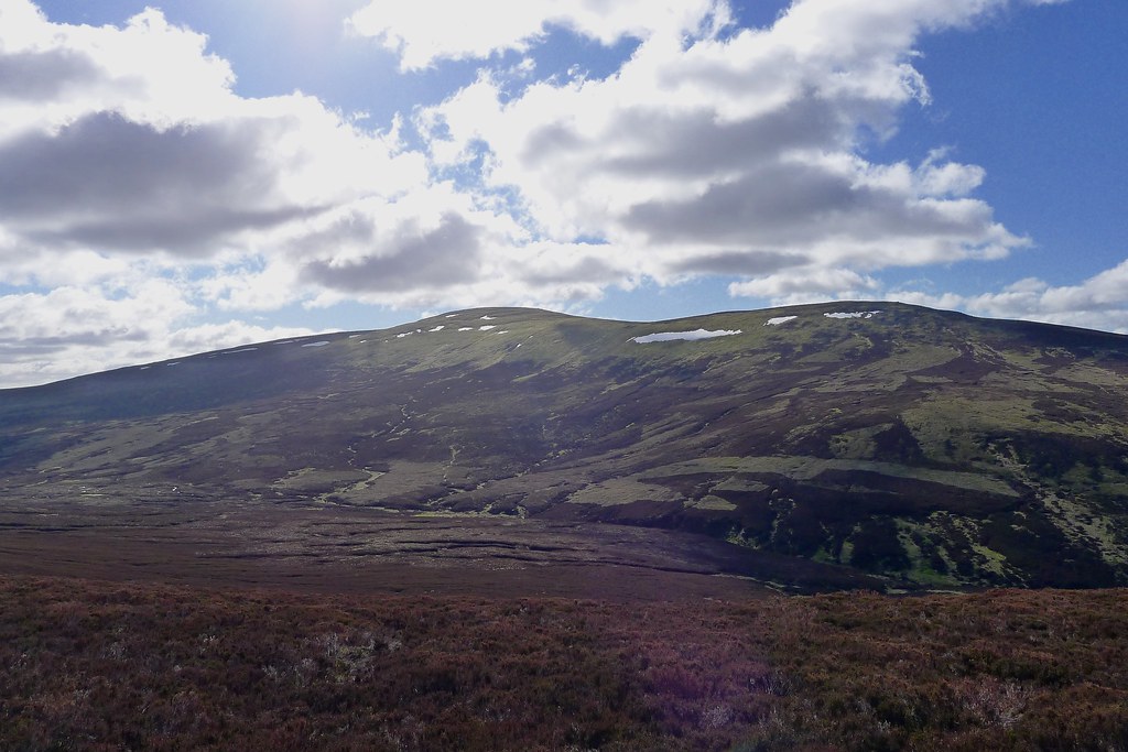
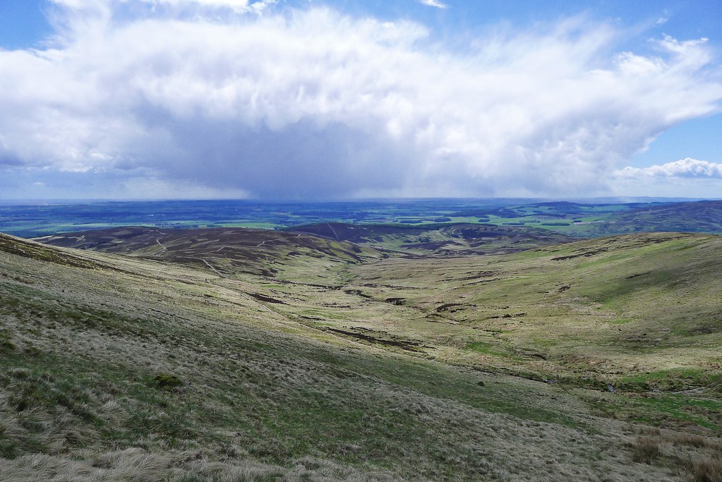
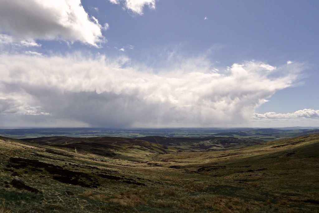
A few folk passed us by and one excitable chap with a jauntily angled rucksack promised that it was clear and sunny on the far side of the Ghru. We weren’t sure we believed him but moments later the mist suddenly lifted and we had a stunning view of Lurcher’s Crag above us, tendrils of cloud winding in and out of its cliffs and rocks.
Heartened by this change in weather I decided to follow my original plan of climbing Macdui and then dropping down to Glen Derry via the Hutchison Hut, rather than going the long way round via the Lairig Ghru. Rich was also following this route although his original day was planned to take him only as far as the Hut today.
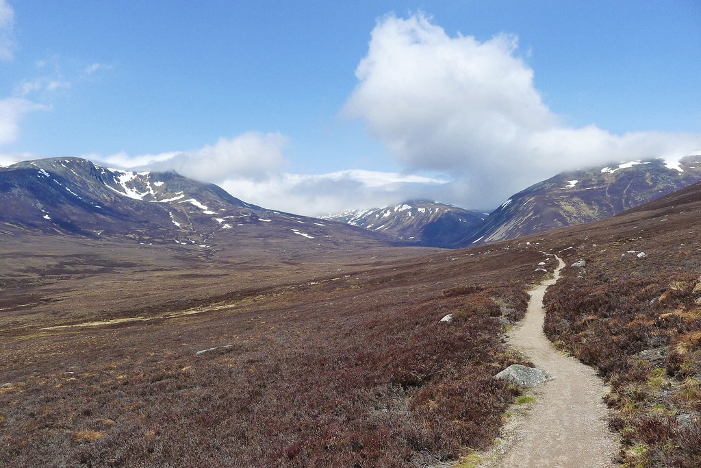
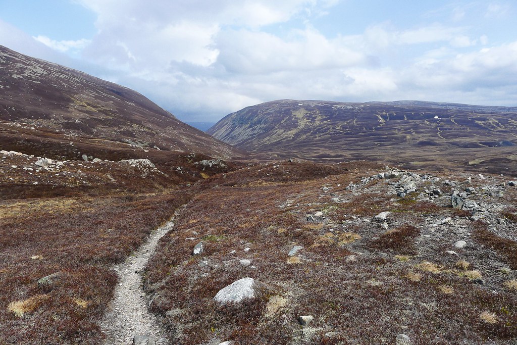
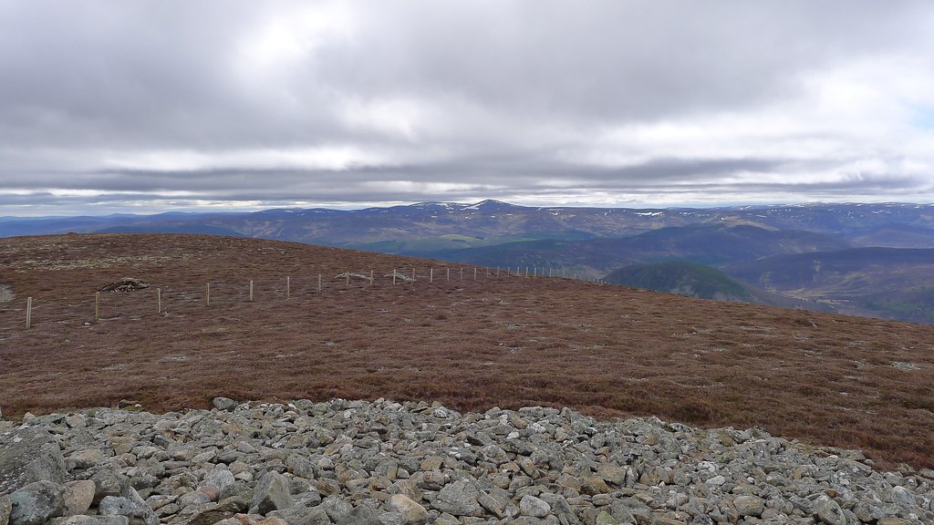
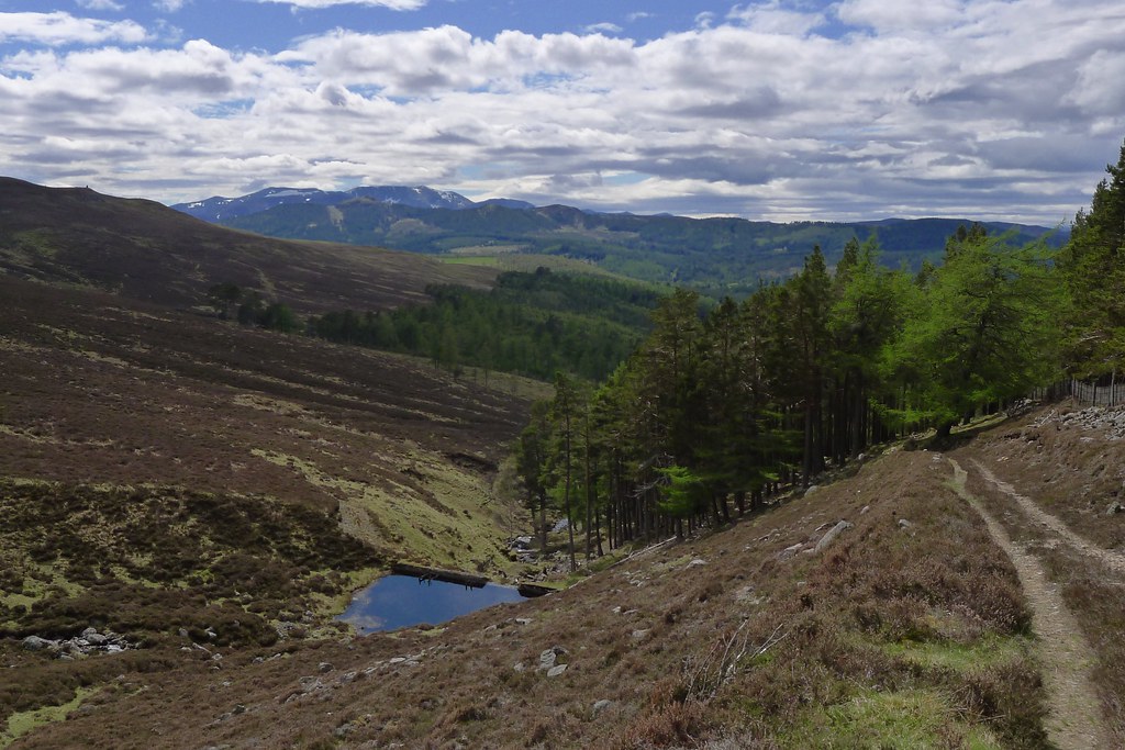
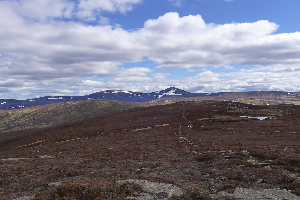
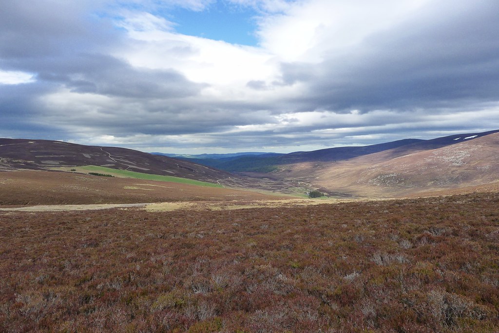
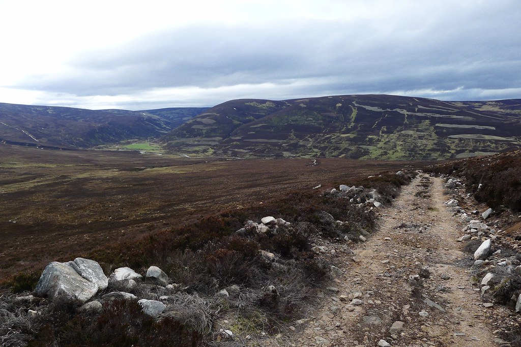
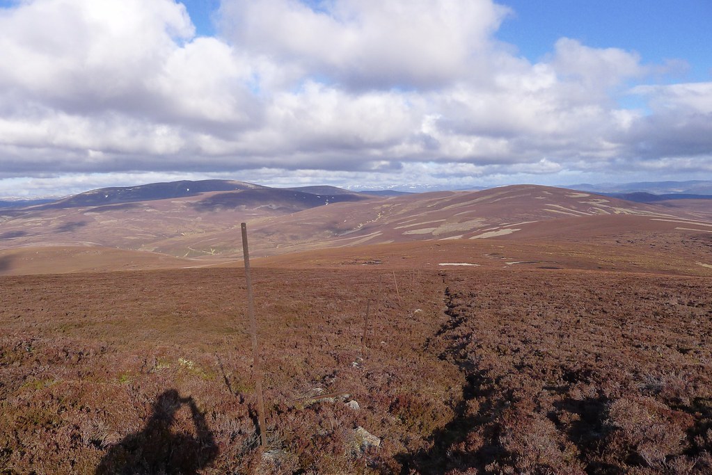
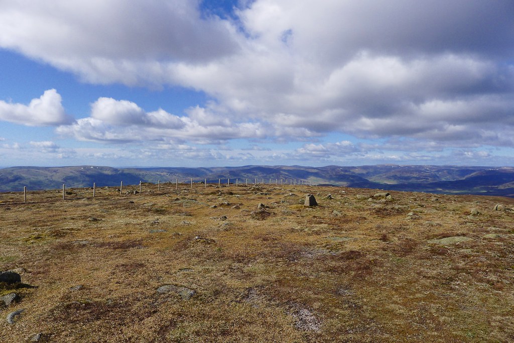
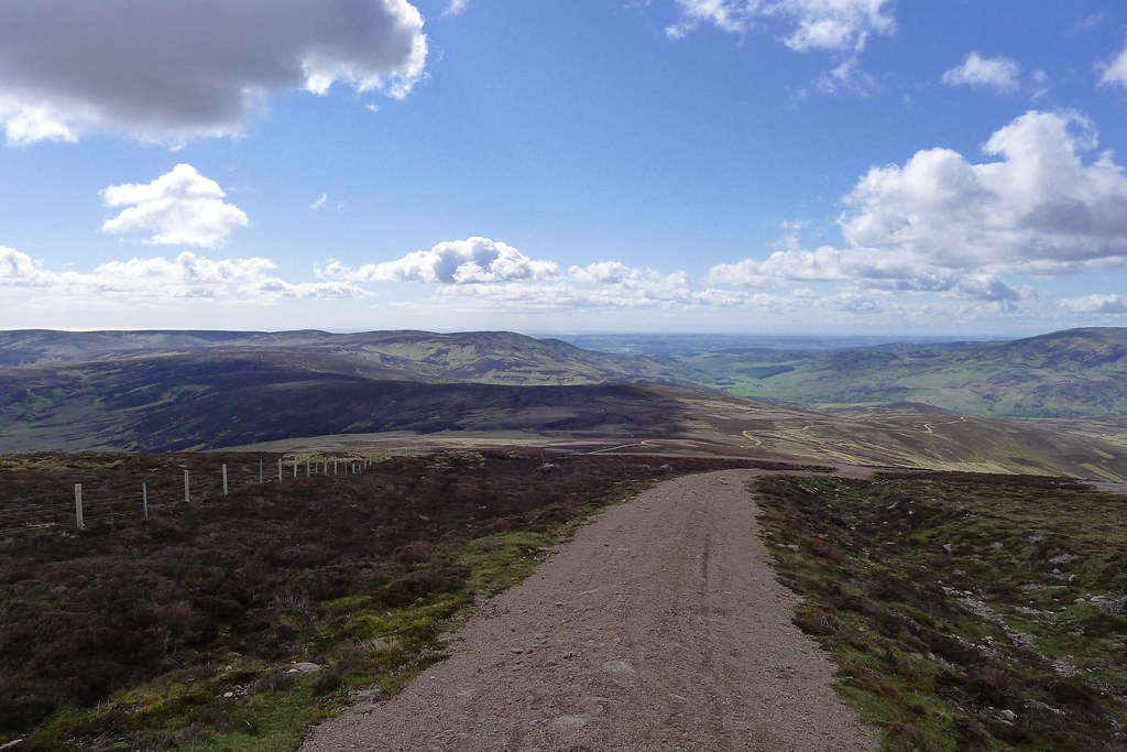
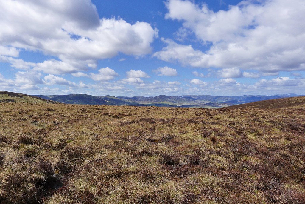
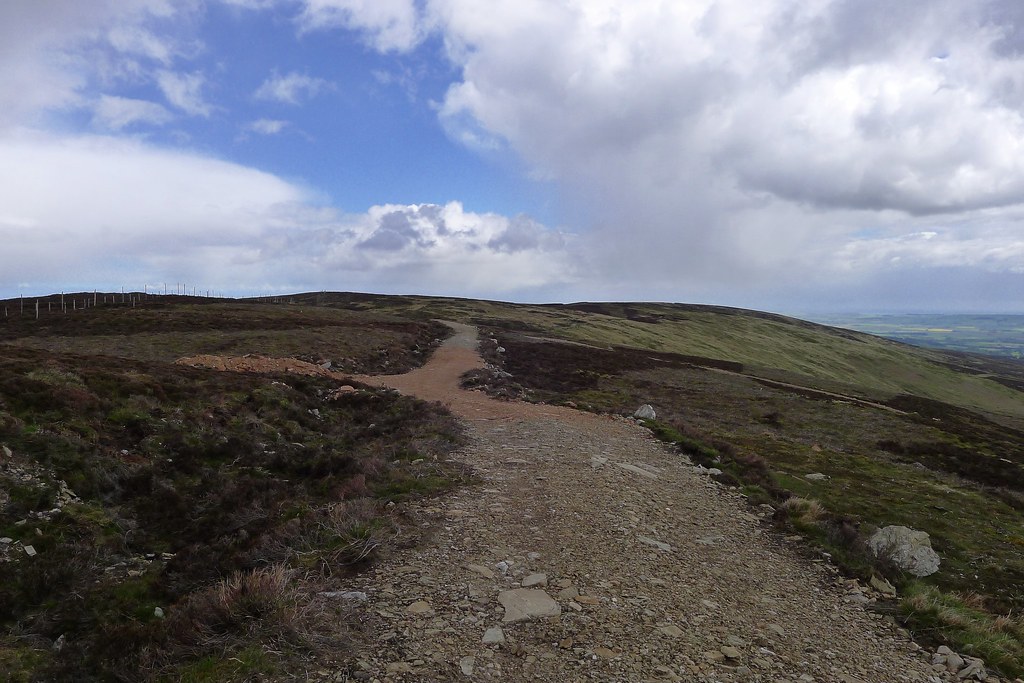
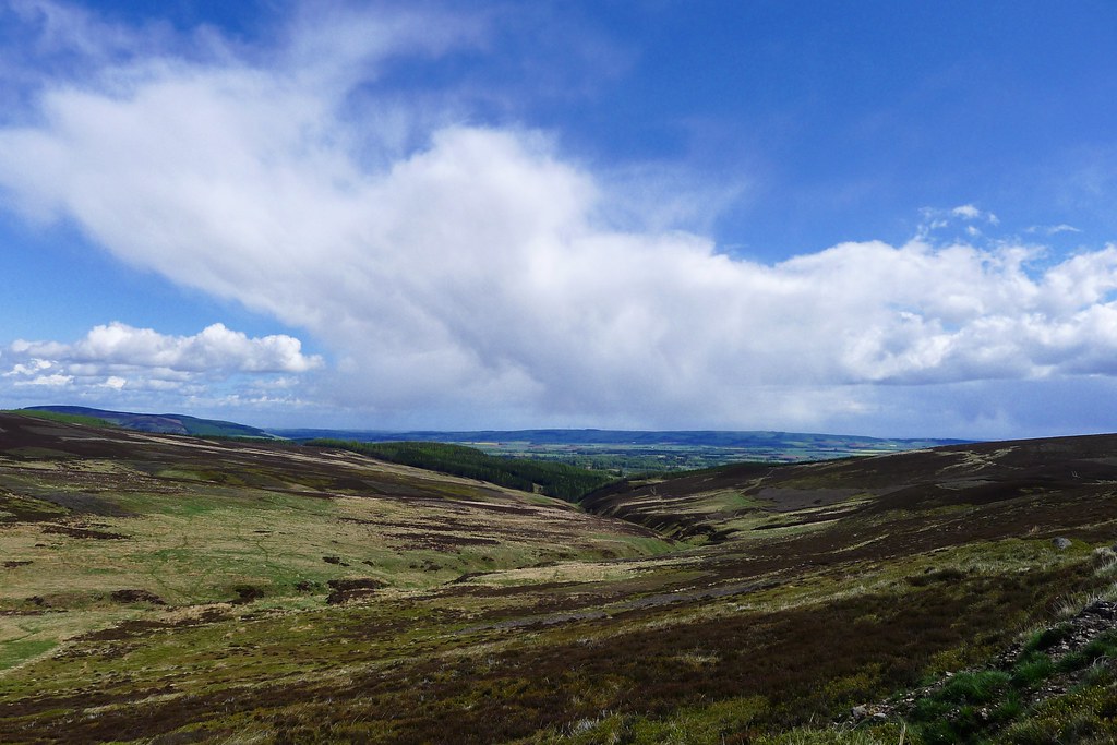
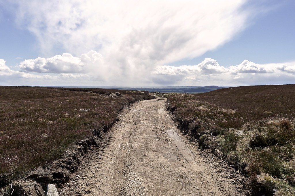
We backtracked down the steep snow slope and then picked up the Chalamain Gap path as it climbed out of the Ghru heading northeast towards the ski centre road. We were back in the mist now so there was no view for a while. Further on a small cairn marked a path branching off towards the lower slopes of Lurcher’s Crag. This proved to be a good path which rose quickly up amongst boulders and grit, occasionally being lost in a boulder field, but easy enough to follow on the far side. I made rapid progress and was soon ascending above thinning cloud.
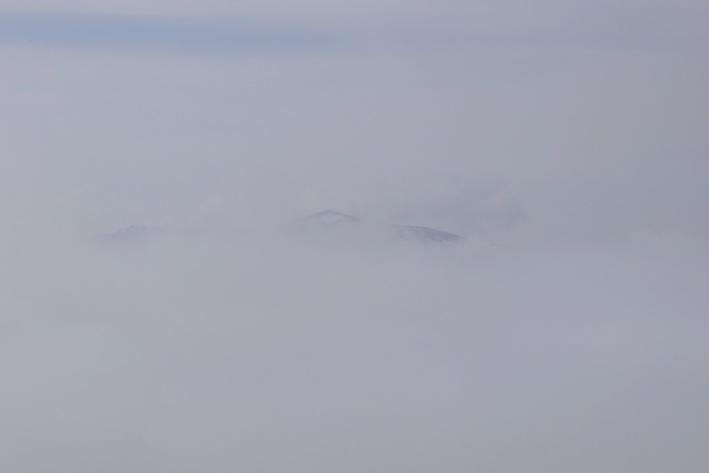
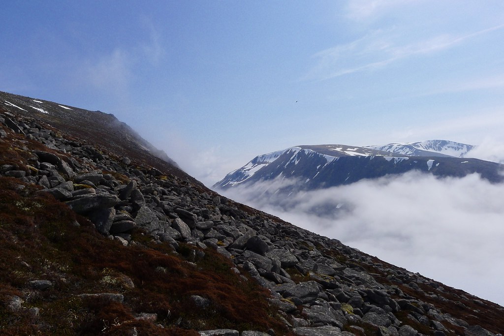
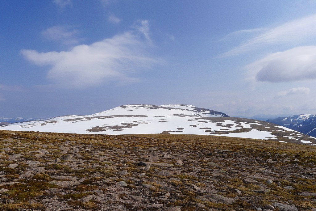
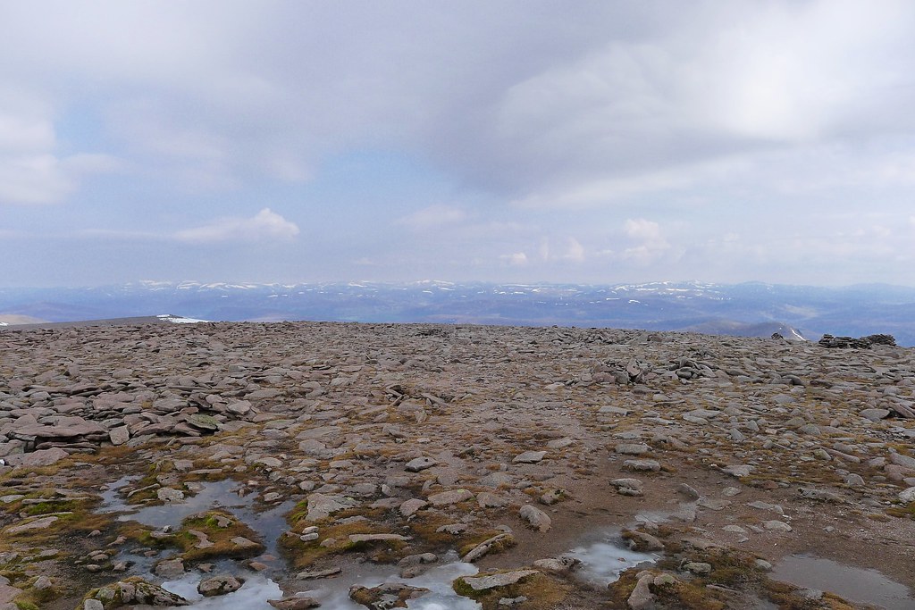
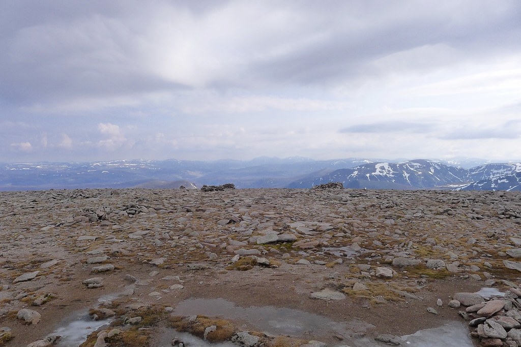
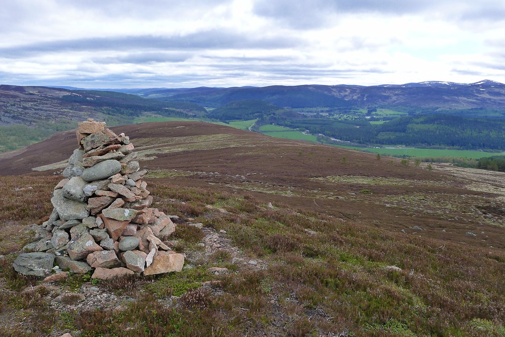
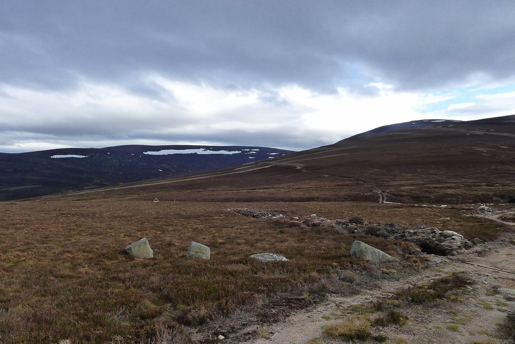
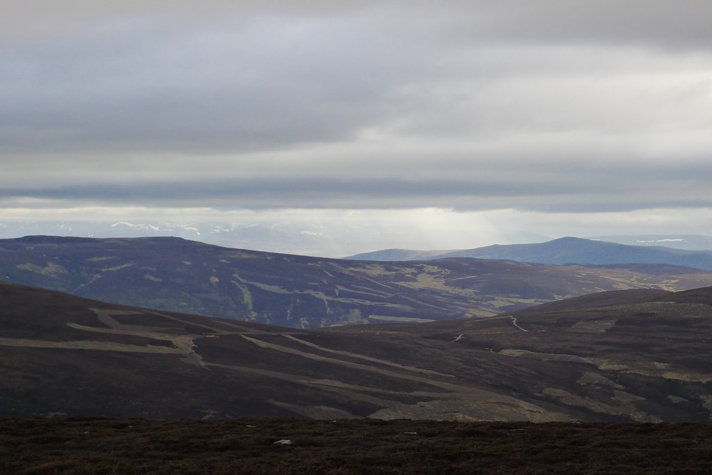
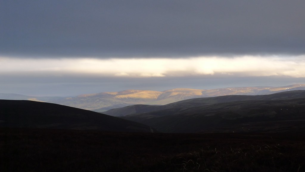
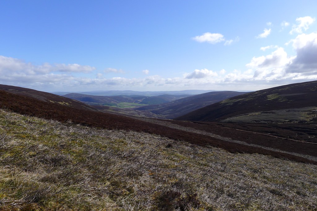
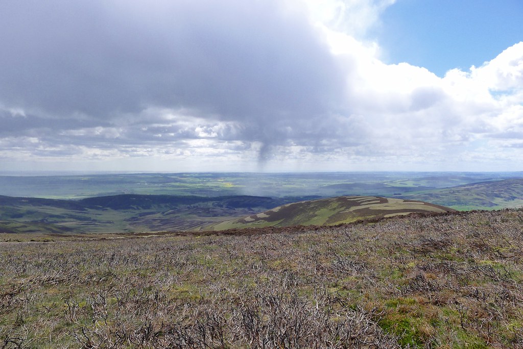
Away to the west Sgor Gaoith was a prominent dark peak above the cloud whilst closer the radiating ridges of Braeriach sailed clear of the cloud like dark galleons. The full extent of the inversion was revealed as I reached the plateau and looked back over a sea of white cloud extending far to the north. It was an incredible sight. Away to the east the Northern Corries were picked out by snow.
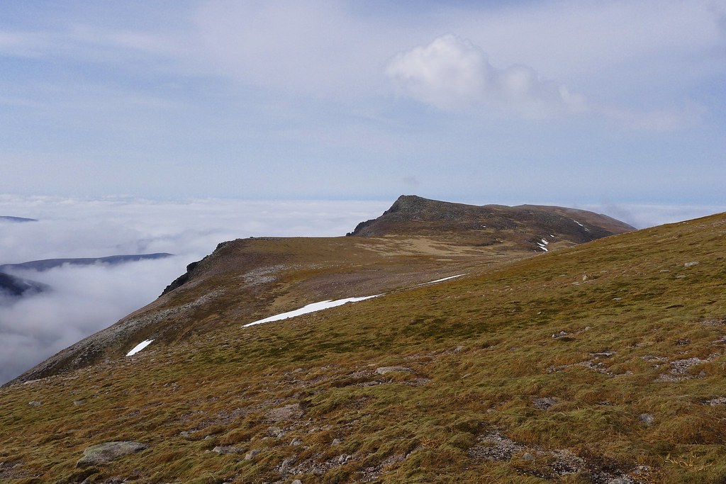
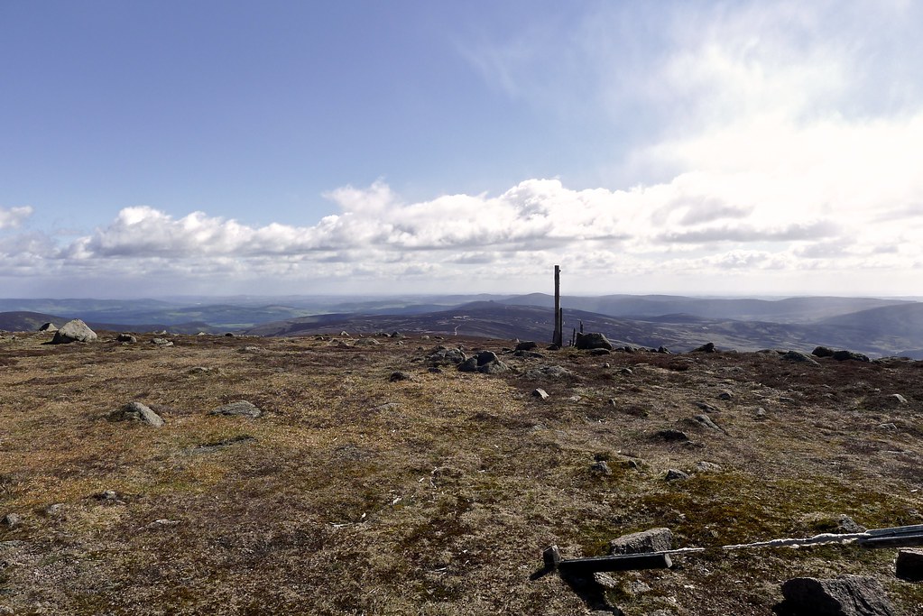
At the cairn I stopped for food and water and to apply sunscreen. I lazed around in the sunshine but there was still no sign of Rich. Assuming he was taking his time and photographing the inversion further down I decided to start making my way across the plateau. There were a few snow patches that I was eyeing up and I was keen to know I could make progress and didn’t have to think about turning around at this point.
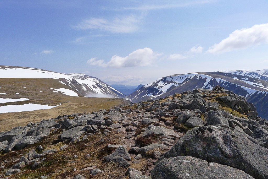
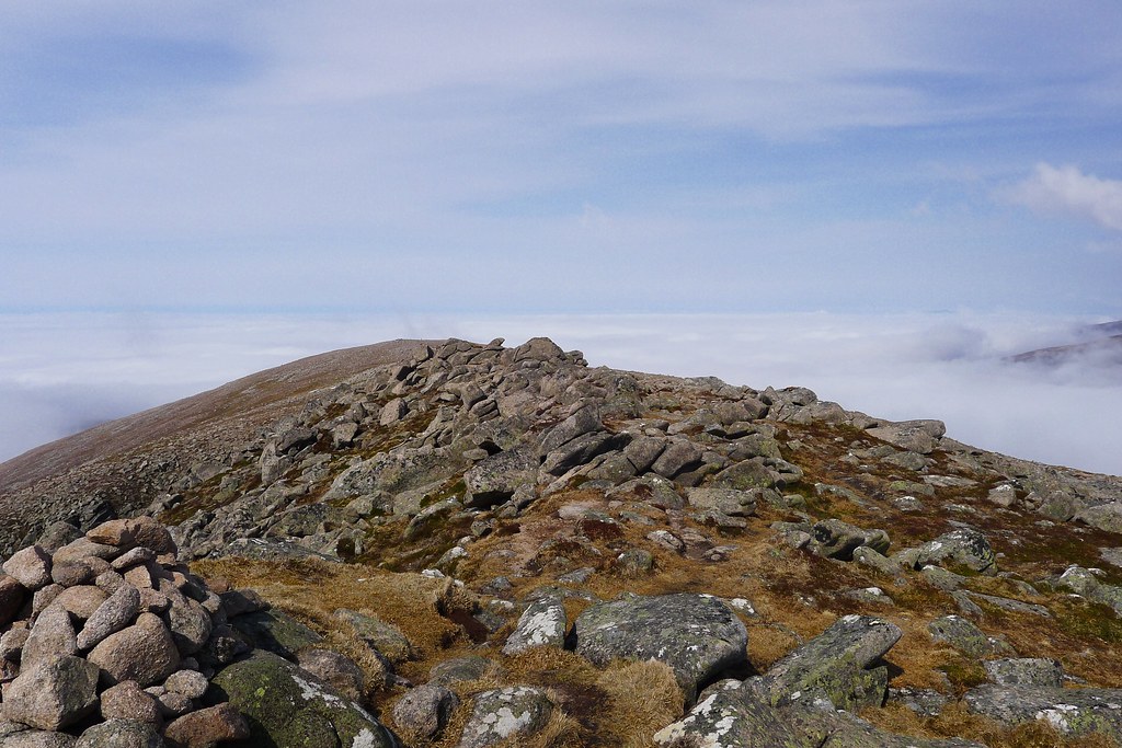
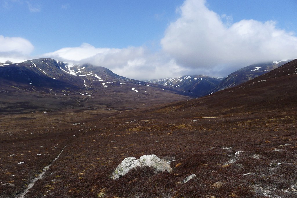
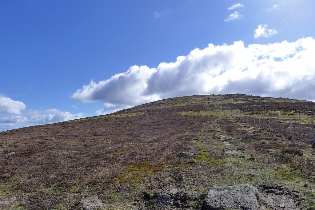
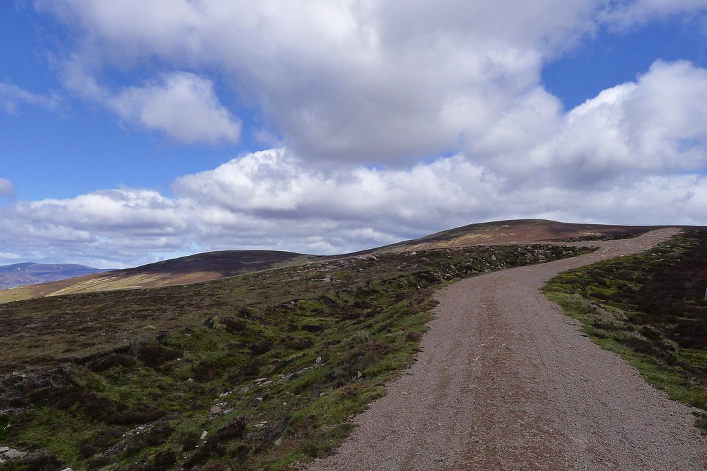
The up and down of the plateau is deceptive and there were still plenty of feet of ascent to gain before reaching the high summit of Ben Macdui. The northern slopes were still covered in snow but there was a rapid melt going on and the surface yielded easily to footsteps. I kept a slow but steady pace up each rise, pausing at the top of each one. I occasionally caught a glimpse of Rich in the distance but he seemed content to make progress at his own slower pace.

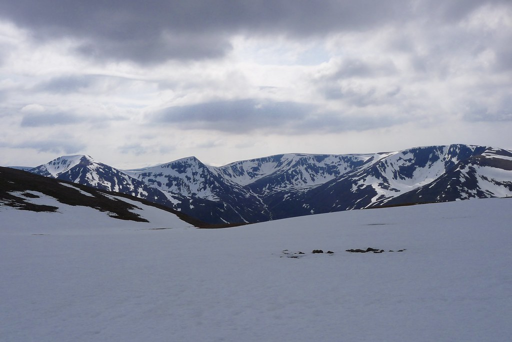
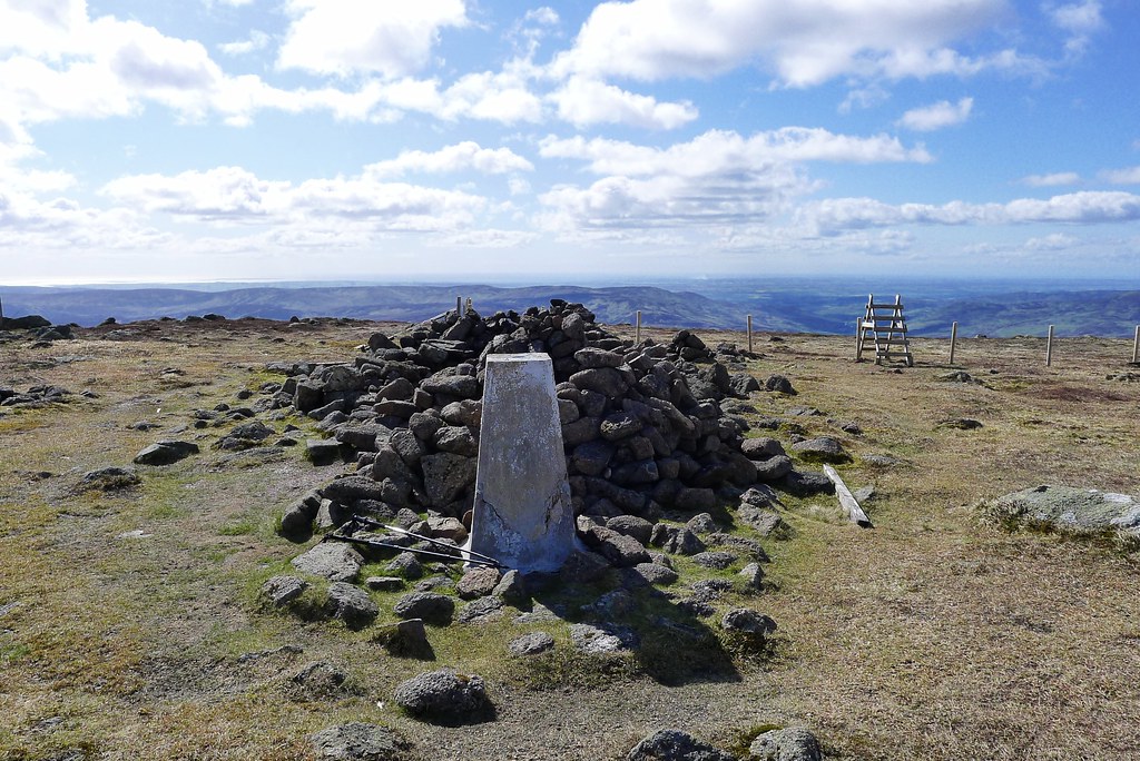
Ahead of me the shapely peaks to the west of the Lairig Ghru slowly emerged from behind Breariach’s bulk. Cairn Toul and the Angel’s Peak were picked out by snow and there were impressive cornices around the rim of the Garbh Coire. The ground around the March Pool was waterlogged, the gravel acting more like a sponge, but beyond this the final rise to the summit was on snow and I made the last of the ascent, passing a group who were leaving the summit.
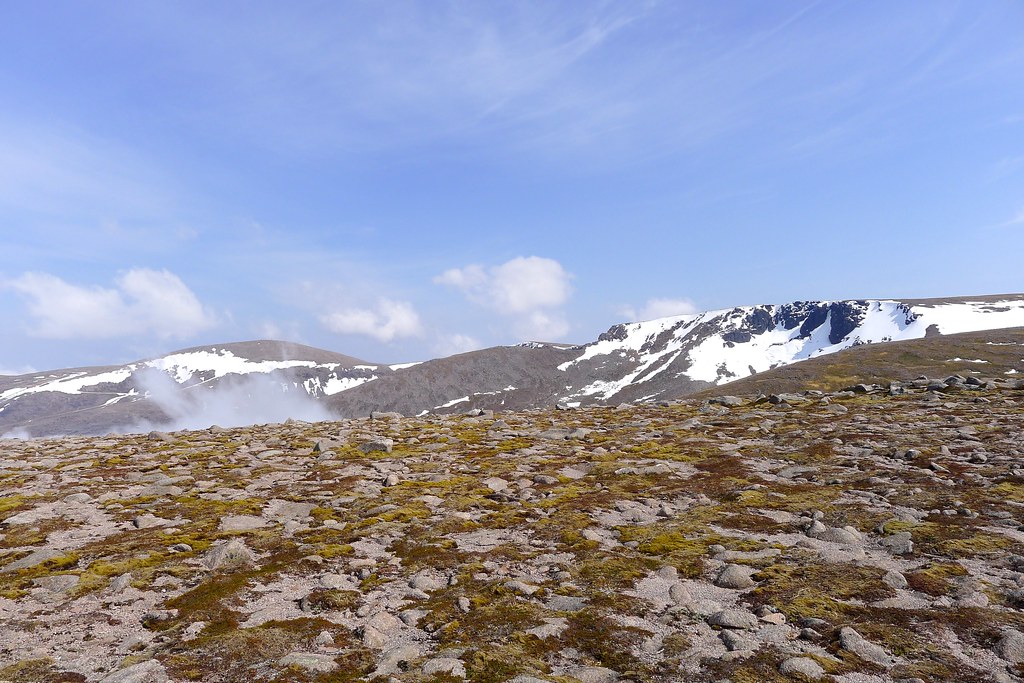
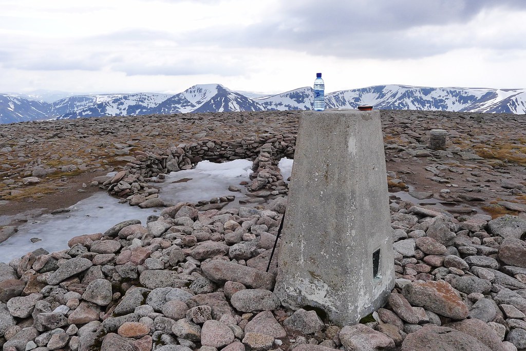
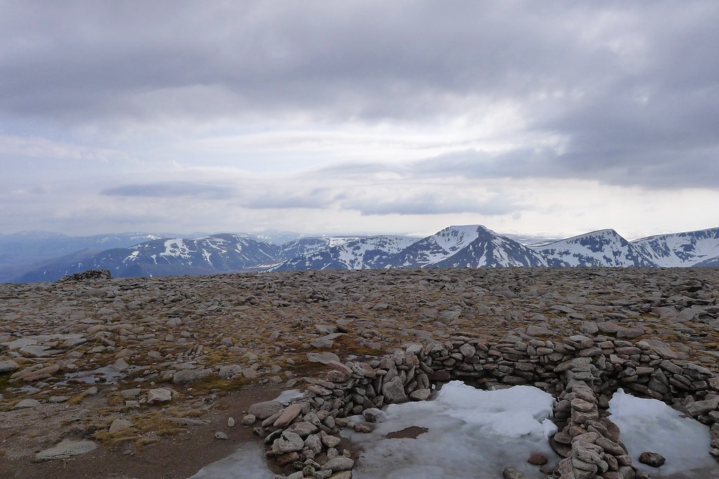
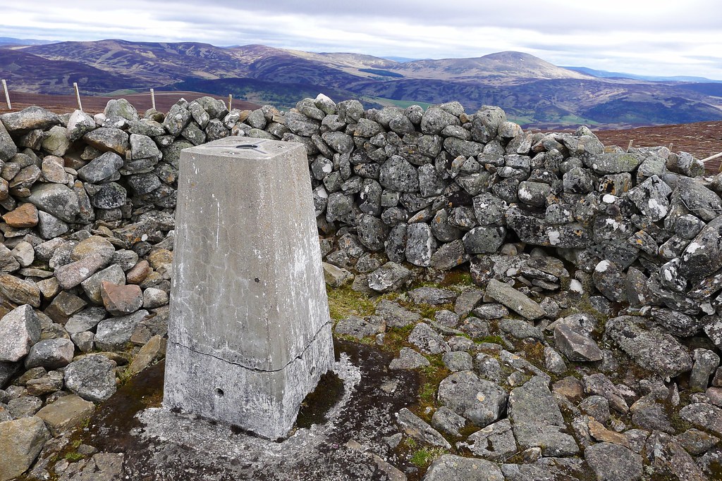
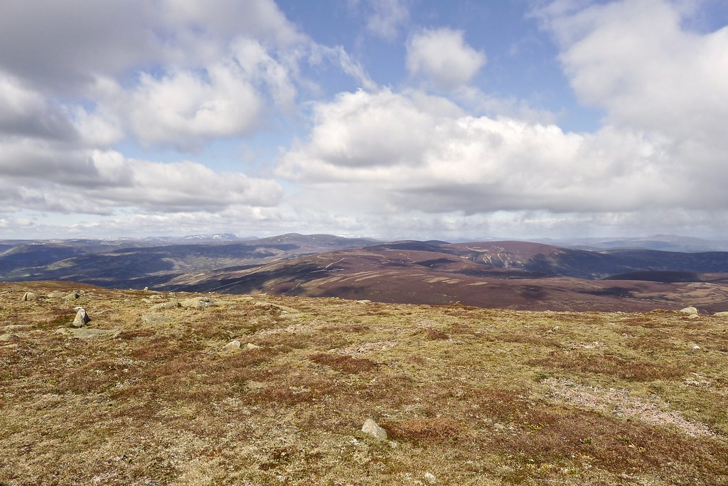
It was great to finally reach the summit of MacDui, the high point at 1,309m, of my crossing. Now I had to make a decision about whether to wait or not. It looked like Rich was still a long way off. I sent off a message saying I would be on the summit until five and then set about eating food, drinking water and enjoying the views off to the west and east, though the hazy cloud was beginning to thicken up. My feet were cold and wet from the snow and it was getting more difficult to keep them warm.
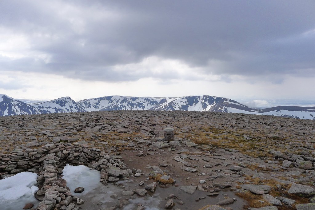
At five I decided to set off. I wanted to use the early evening to make some progress further into Glen Derry, ensuring I kept to my plan, and it would be good to get back below to snowline.
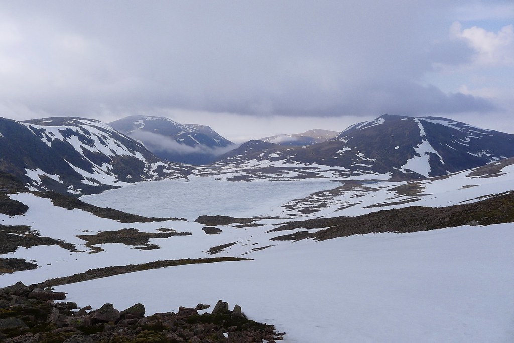
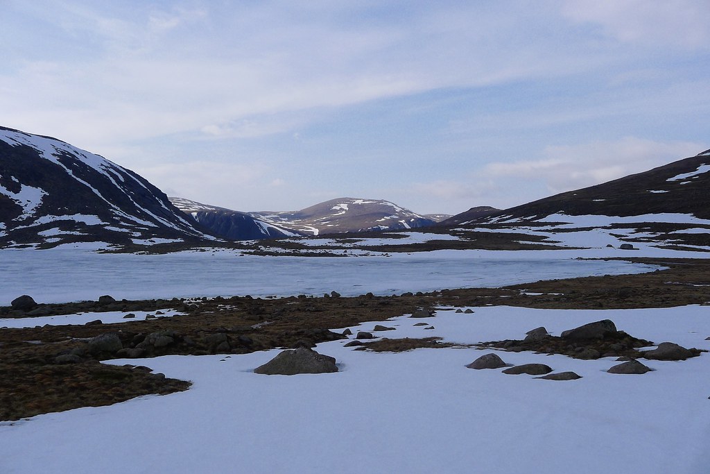
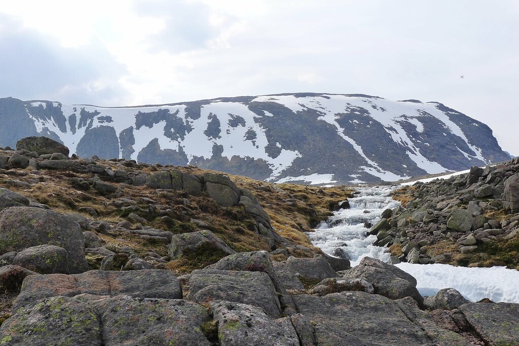
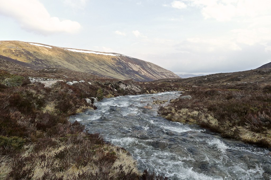
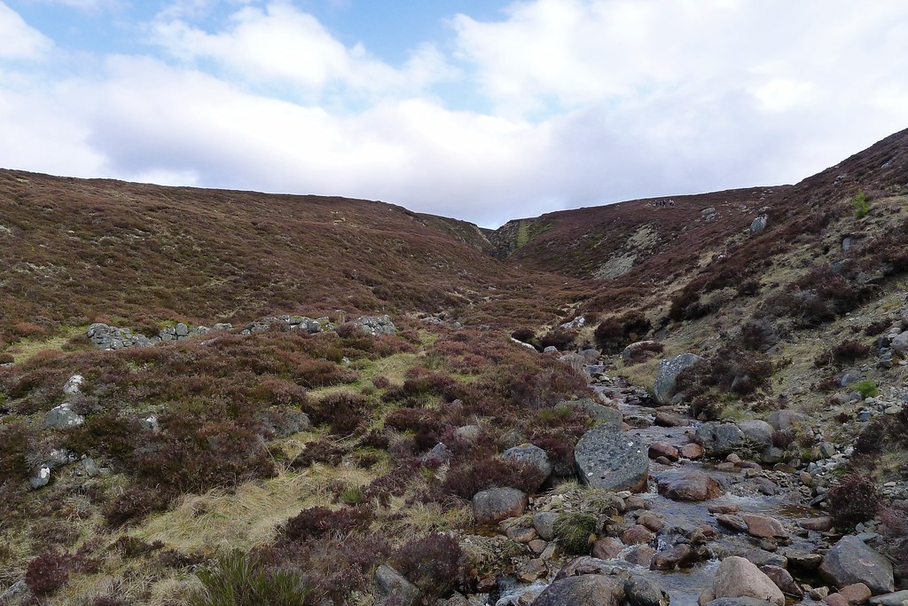
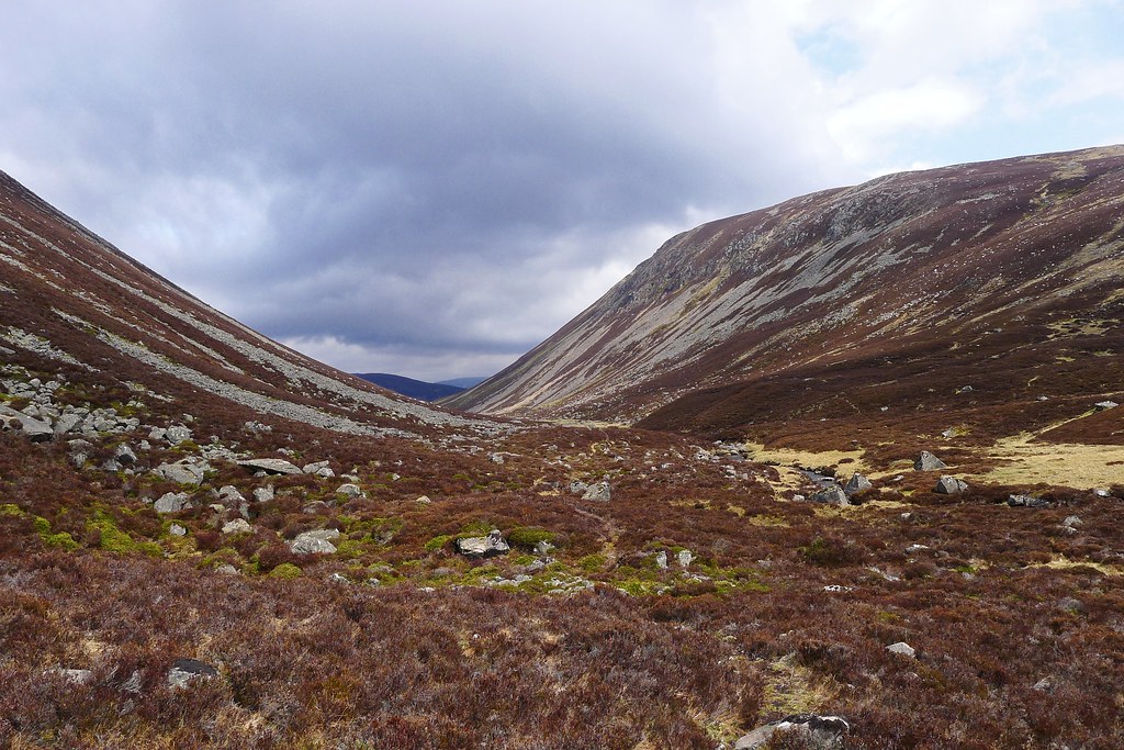
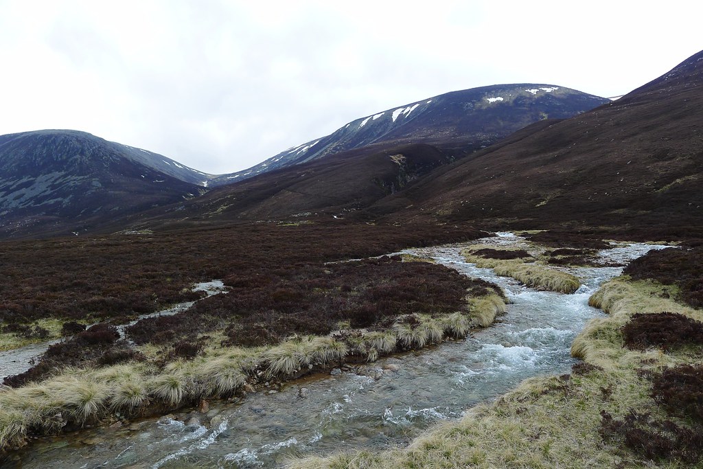
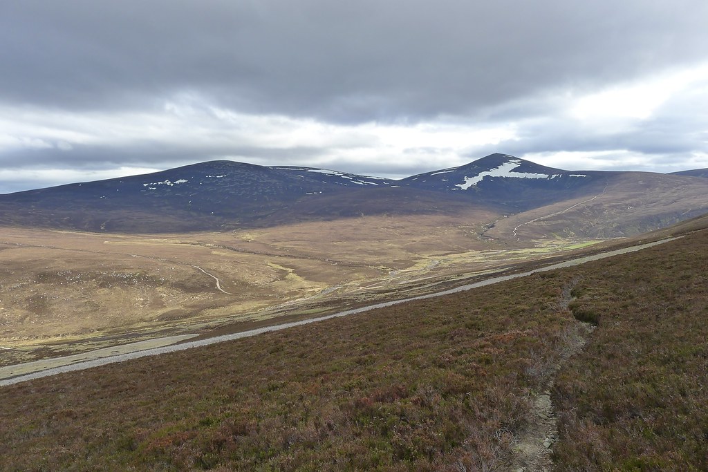
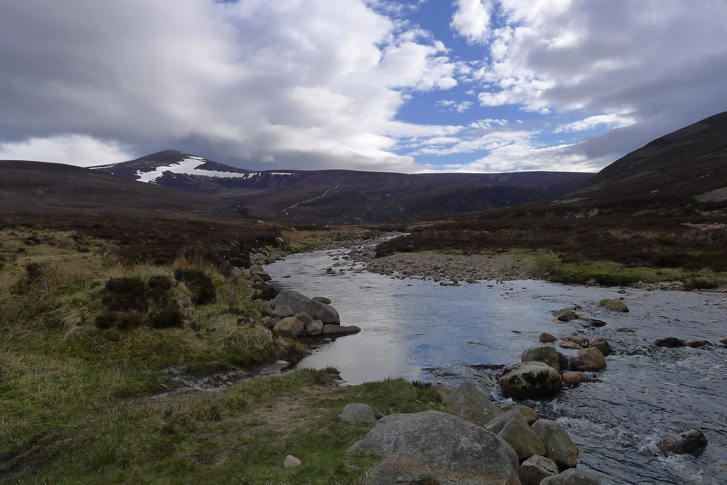
I dropped quickly down the snowy southern slopes of Macdui, this side of the hill being much more consistently covered than back on the plateau. I traipsed down through the snow, crossed the stream below Coire Sputan Dearg which was swollen from snow melt and then followed roughly the line of the path down towards Loch Etchachan. As I lost height cloud swept in over the summit and down the coire, temporarily blanketing me in mist. I continued on and eventually the shadowy outline of Loch Etchachan reappeared out of the gloom.
By the time I was at its icy shore the sun was back out and Cairn Gorm stood clear in the gap beyond the loch.
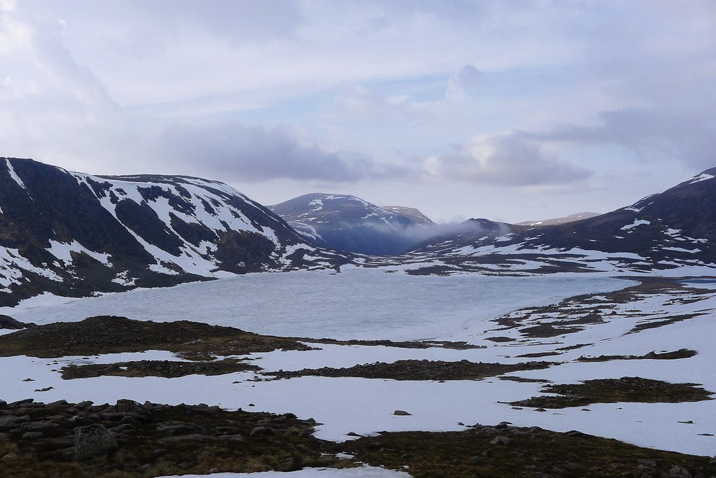
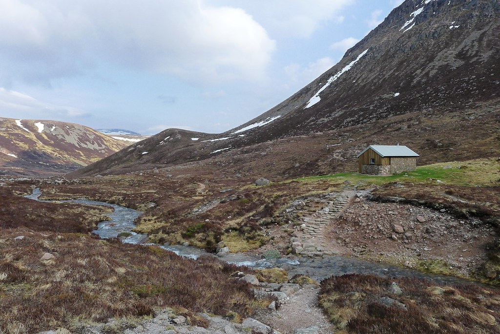
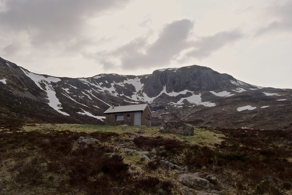
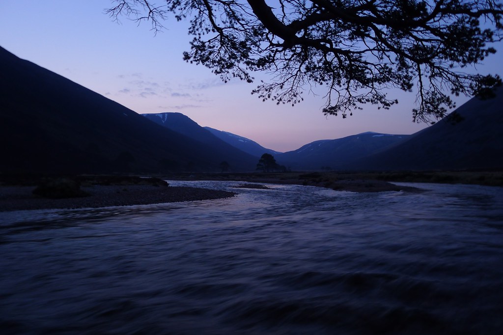
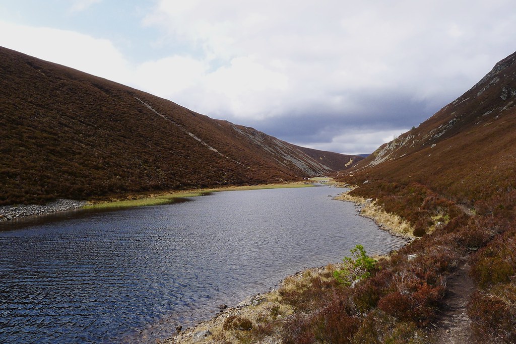
A trio were setting up a Trailstar at the far end and I gave them a wave as I picked up the track down to the Hutchison Hut. With the cloud cleared there was now a beautiful evening sunlight in the hills and the descent down to the hut besides the tumbling allt was an utter delight.
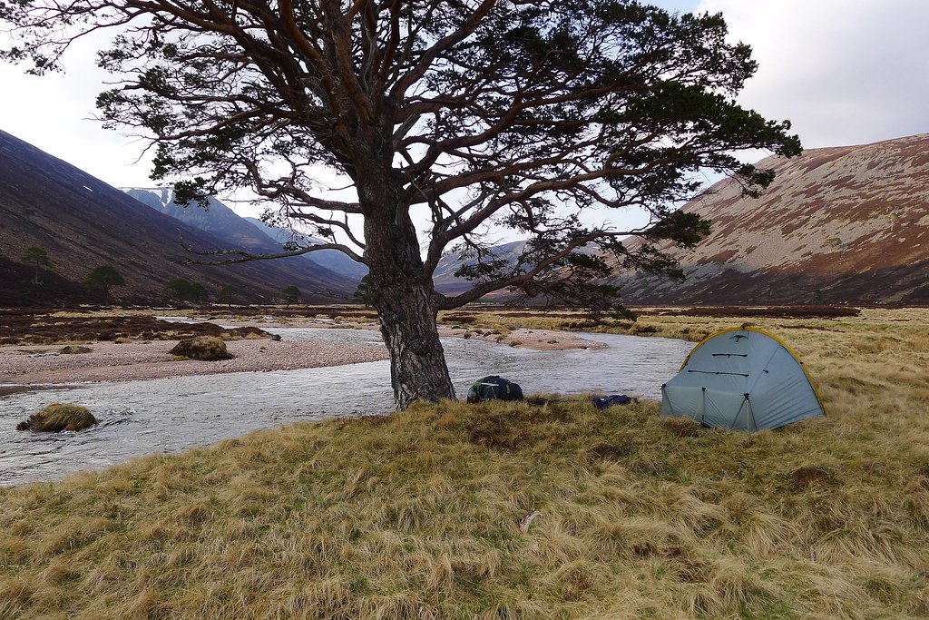
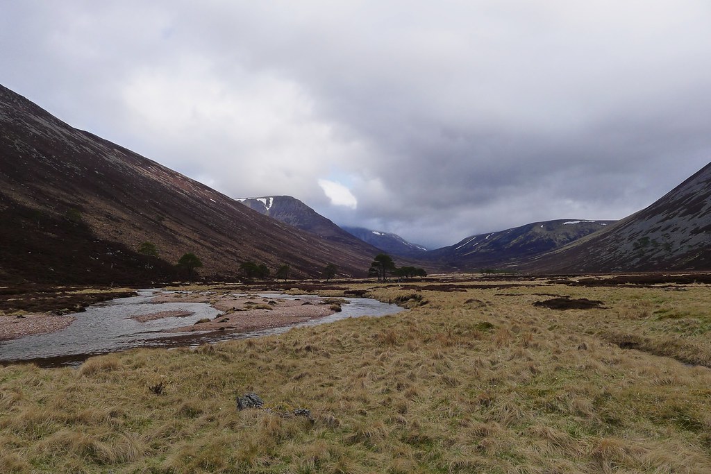
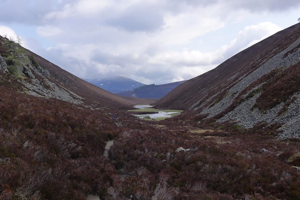
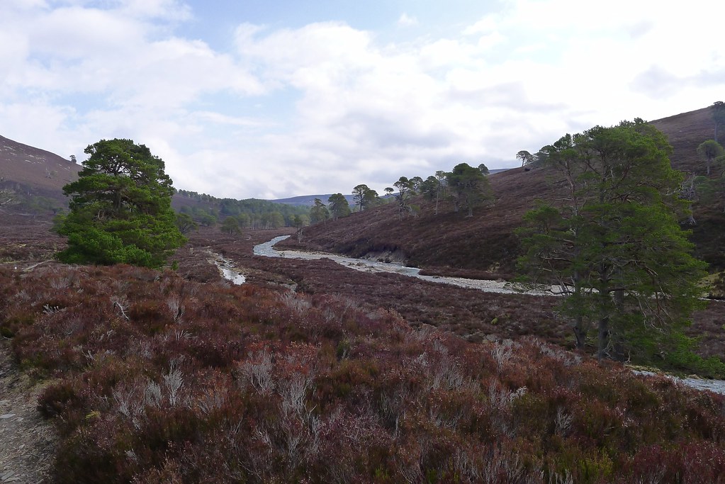
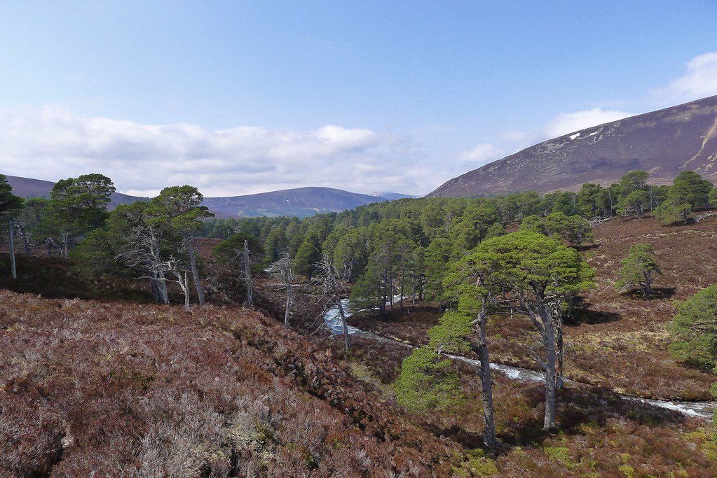
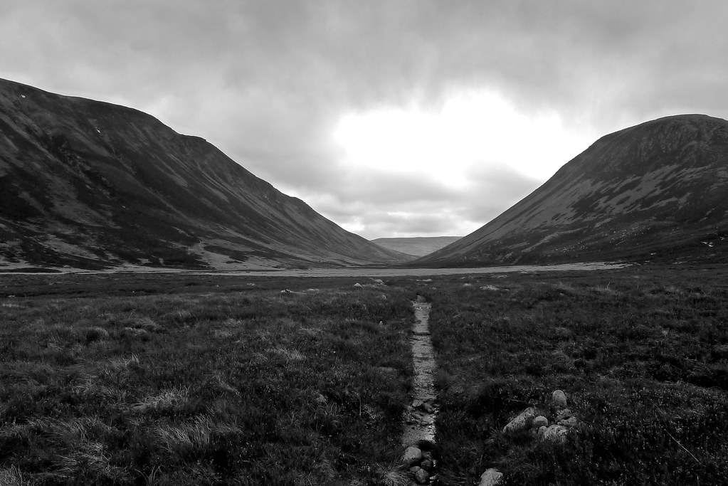
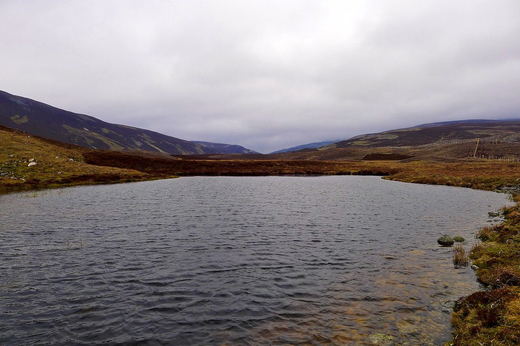
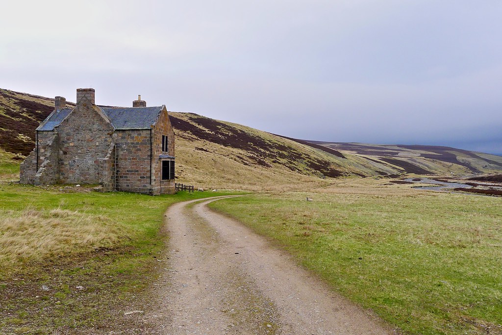
The Hutchison Hut looked very tidy following its renovation but I continued on, crossing the Glas Allt Mòr with only wet feet, and then continuing down the glen as the evening slowly advanced. Past the plantation I left the track and negotiated bog to reach the river banks.
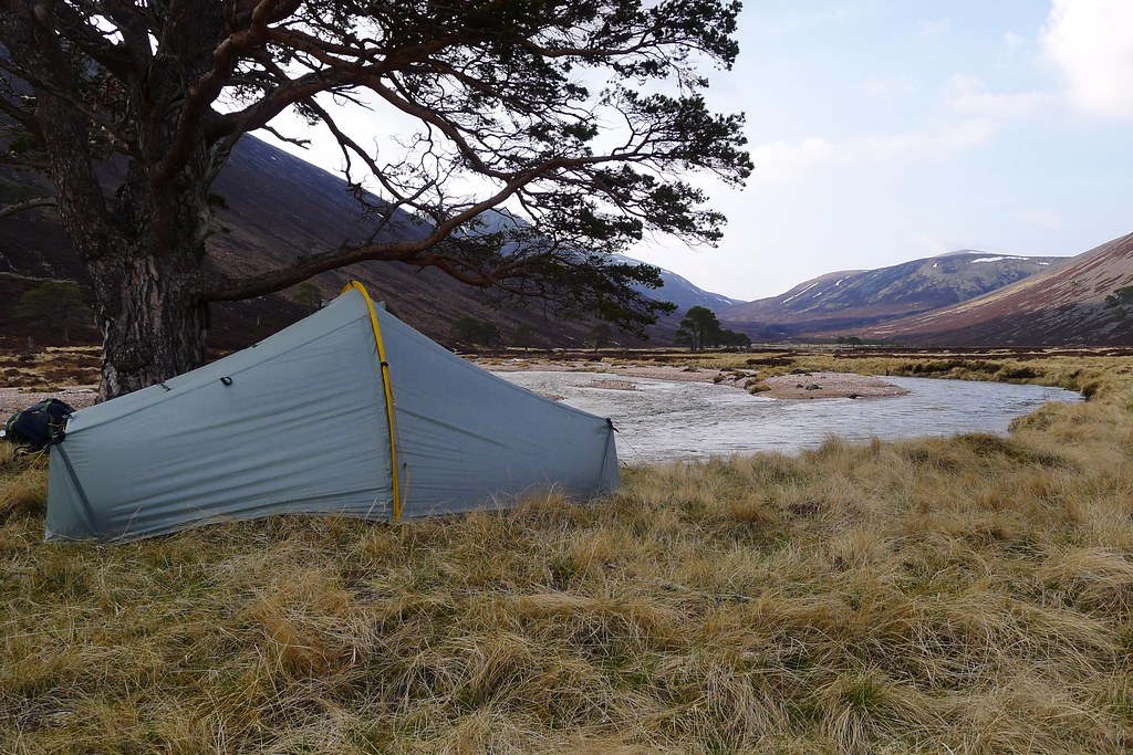
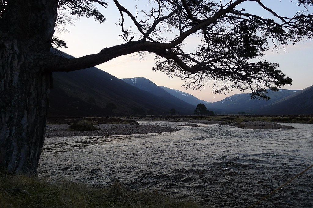
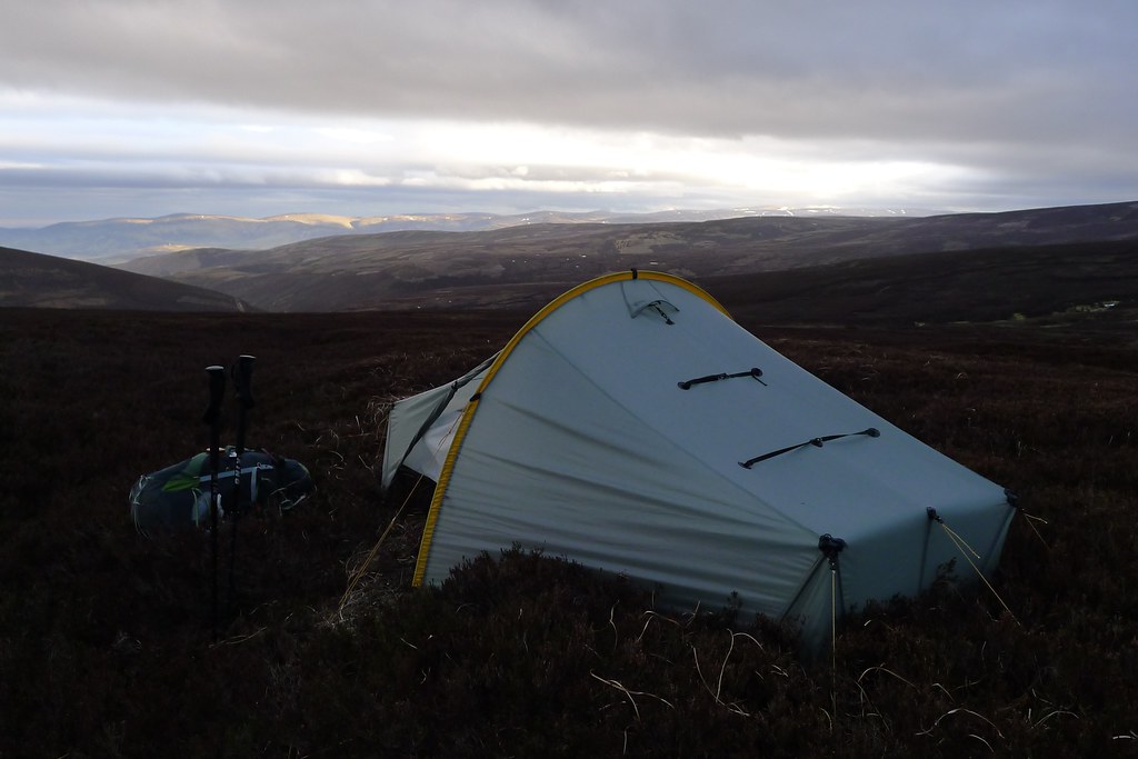
This I followed along until I found a decent looking camping spot by an imposing Scots Pine. The water was flowing strongly, careering into the bank just below the tree’s roots. it was just on 7pm when I got the tent up and the evening was warm with barely a breath of wind.
Unfortunately the camp site turned out to be quite buggy with lots of strange little flies and some giant earwigs that managed to crawl just about everywhere. The warm weather seemed to have encouraged every insect in the Cairngorms to emerge simultaneously. Despite these intrusions it was pleasant to sit with my back to the pine and eat dinner and enjoy a hot chocolate as the gloaming slowly crept down Glen Derry.
With the bugs refusing to leave, after dinner I retreated to the noseeum sanctuary of my tent and pulled out my Kindle to read a couple of chapters of Wildwood before the light faded. About 10pm Rich arrived having decided to carry on beyond the Hutchison Hut. He too discovered the delights of the local insect population and as he was getting himself sorted for the night the long day caught up with me and I fell into a comfortable sleep.
Day 10, Monday 20th May
Route: Wild Camp in Glen Derry to Wild Camp in Glen Gairn
Distance: 30km (Total 244km)
Hills: None
Sunshine on the tent woke me from my slumbers before 7am after an enjoyably long and deep sleep. I woke up to find Rich had pitched just down from me. I went about my morning routine, coffee and breakfast and getting things sorted for the day ahead. Rich also got up and we had a look at his route choices for the day.
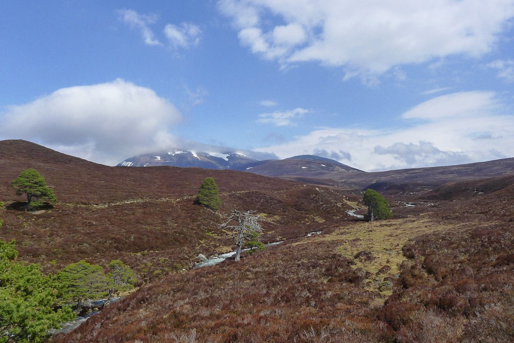
By 9am I was ready to get going and bid Rich, who was onto his second coffee, farewell and good luck. I recrossed the bog and was soon on the pleasant track winding my way down the remainder of Glen Derry. A cloud inversion lower down the glen had dispersed but the higher tops still held on to a covering of mist. A few folk were about but it was a largely calm and pleasant morning. The good weather of the day before appeared to be holding steady.
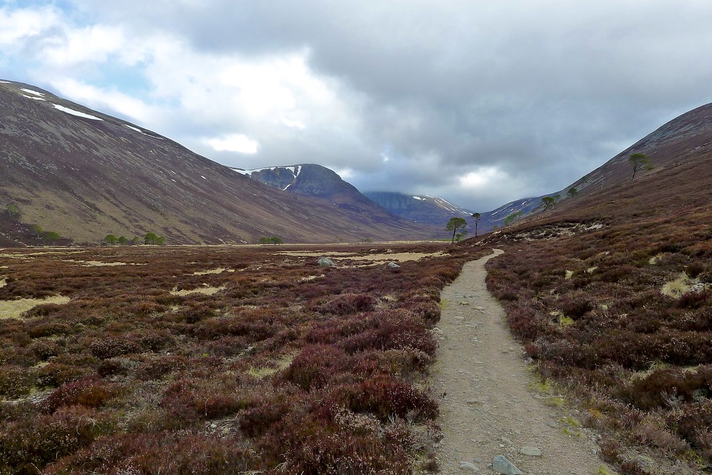
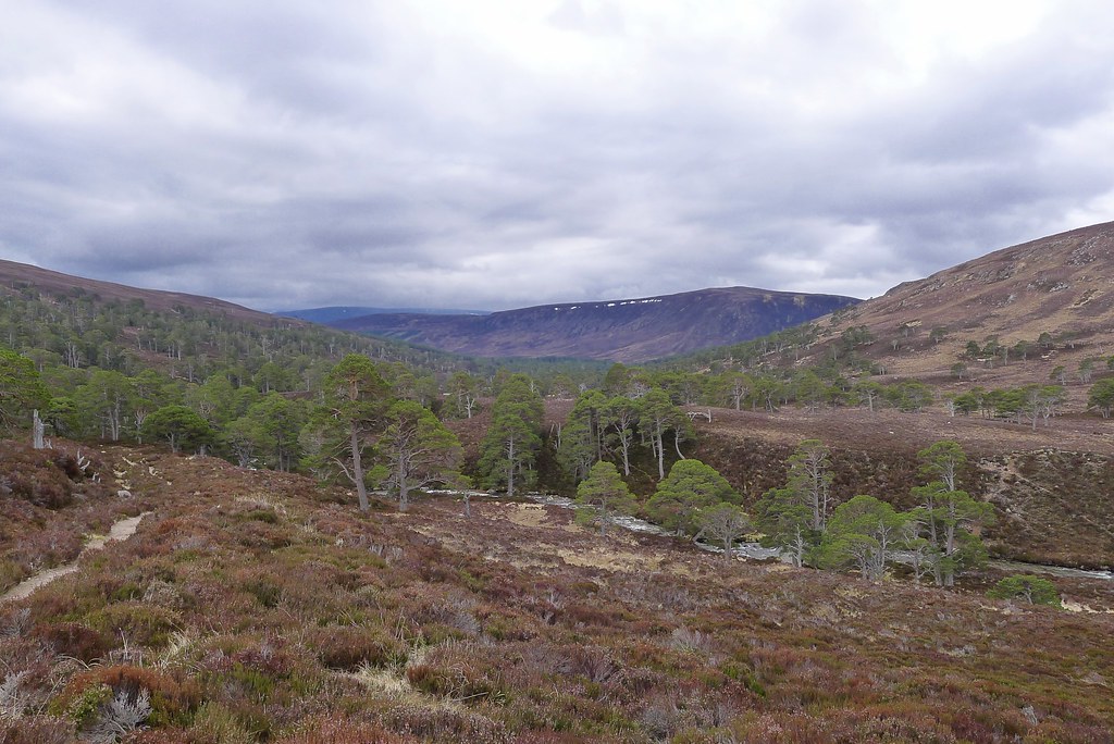

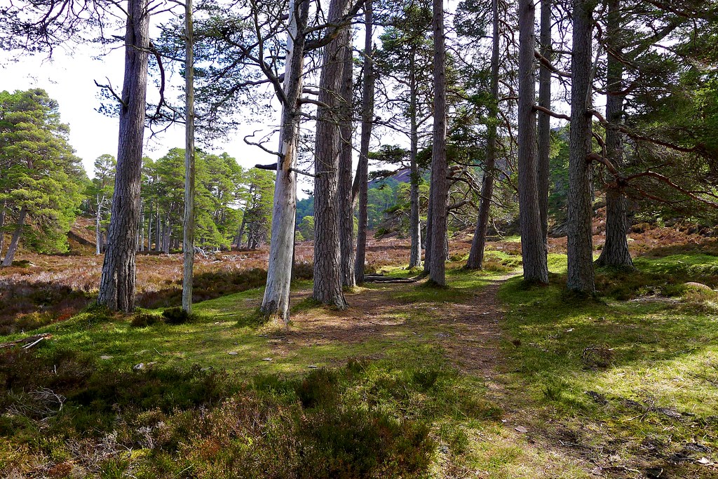
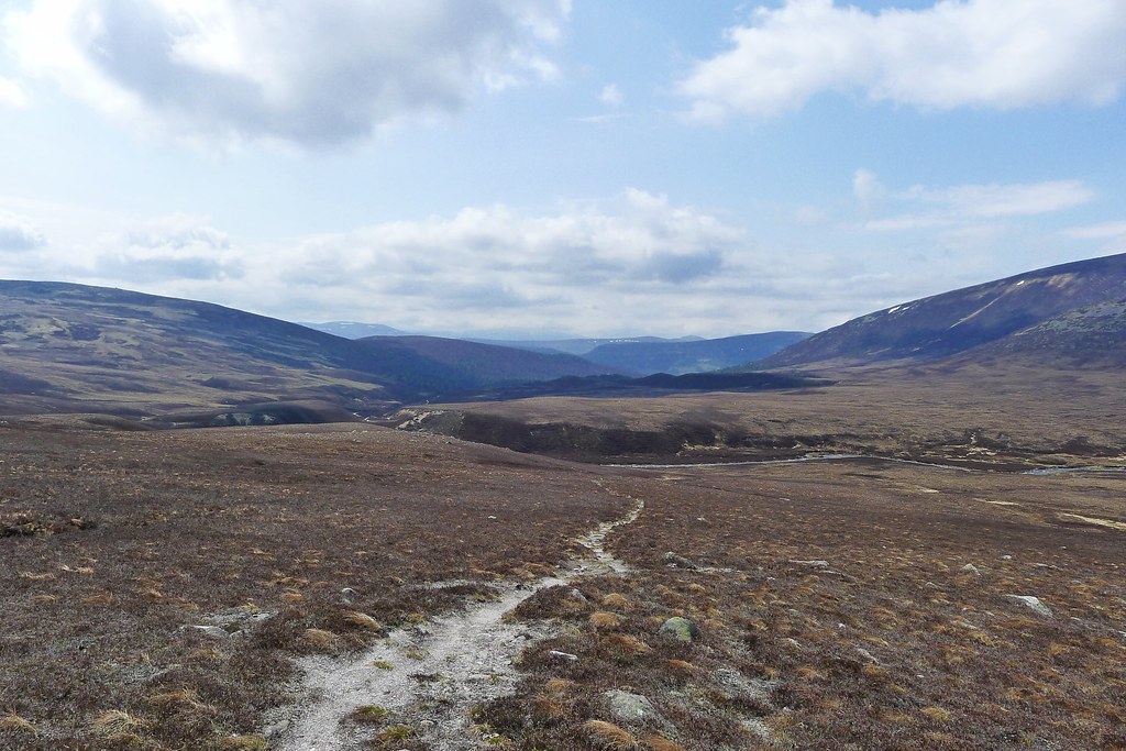
I passed by Derry Lodge and Bob Scotts and came down into the pleasant, familiar surrounds of Glen Lui. My autopilot was on as I followed the track I’ve walked more than a dozen times before.

I was back onto new ground when I took a narrow side path which ran uphill to the east besides a tributory of the Lui Water. I caught and passed a group of girls struggling their way uphill under heavy backpacks and then caught and passed a similar sized group of boys as we dropped slightly into Clais Fhearnaig.
This was my first time in this curious little cutting that links Glen Lui through to Glen Quoich. It was a little breezy down by the narrow lochan but I enjoyed stopping and sitting for ten minutes to have a snack.
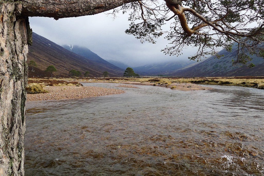
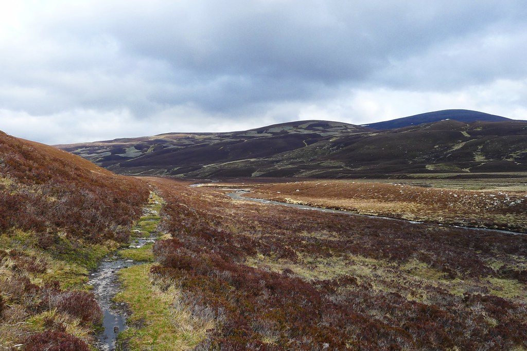
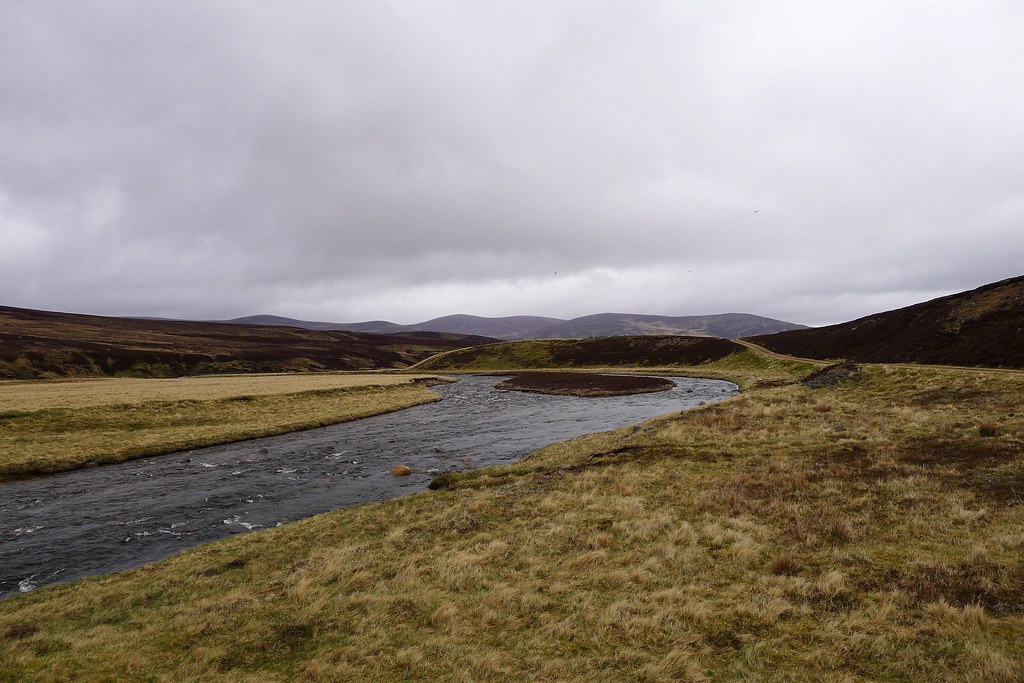
Down in Glen Quoich I met the instructors who were up from Perth assessing the group on their bronze DofE trip. We had a good chat about backpacking and my journey across the country. Then I was off down to the crossing of the Allt an Dubh-ghlinne. This turned out to be an interesting one with the river running swift and deep in places, overflowing the banks and an indicator of things to come.
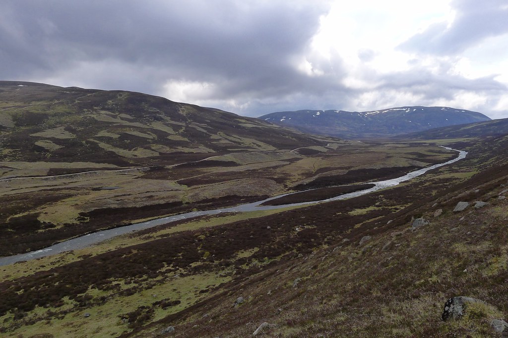
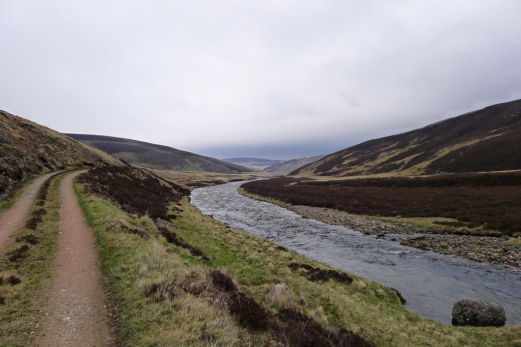
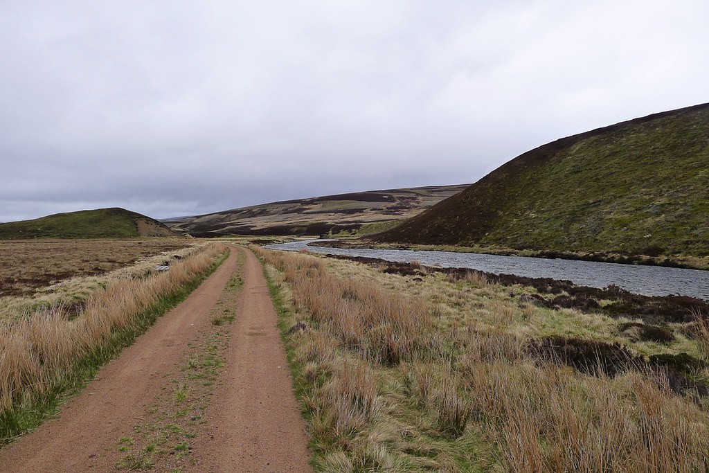
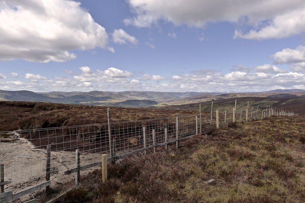
Again I was on new ground as I followed a vehicle track along the north bank of the Quoich Water below the foothills of Beinn a’ Bhuird. The track ended at another crossing of the river and it looked like a rough path of sorts continued on the far side.
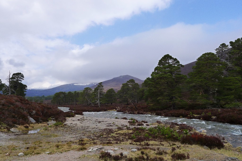
I decided to cross, using my poles to brace myself as I faced upstream into the current. I got across safely and picked up the muddy pack, only slightly dismayed when I saw a clear track emerge on the bank I had just left! This track (which looks recently upgraded) runs all the way down the length of the Quoich to the point at which the Slugain track crosses the river en route to Beinn a’ Bhuird. I didn’t fancy adding two more crossings of the Quoich so stuck with my muddy, undulating path on the south bank. It wasn’t great and progress was slow.
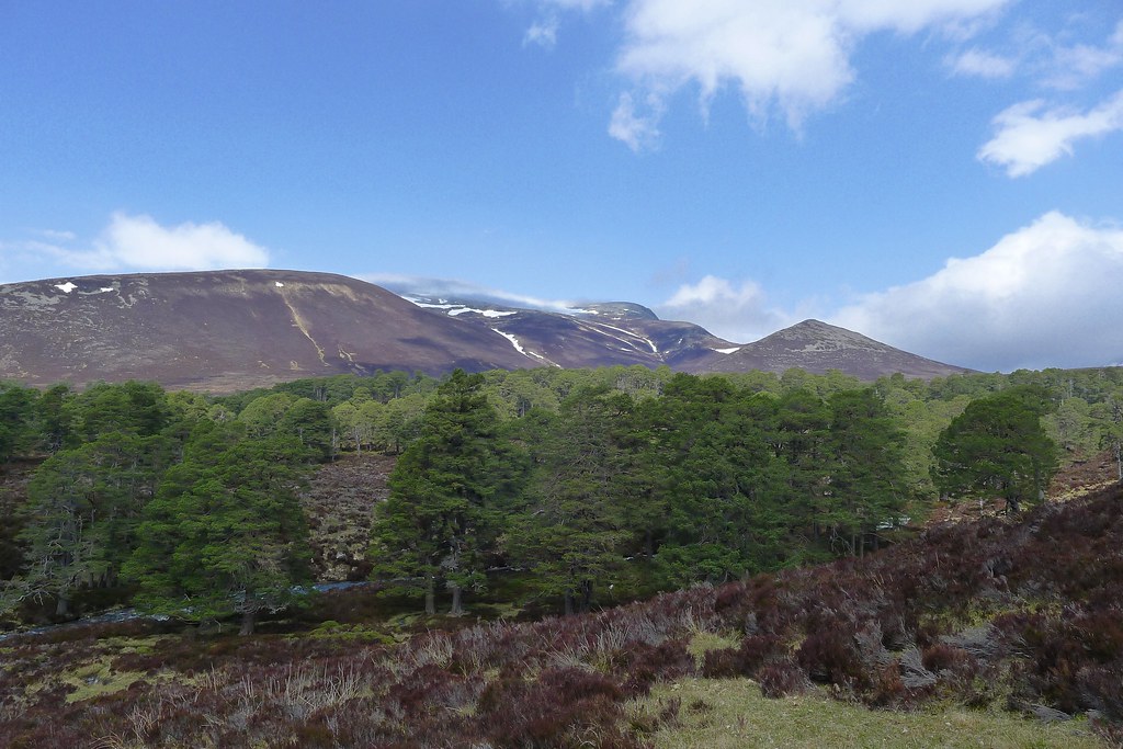
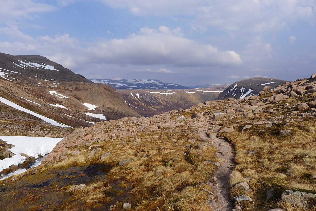
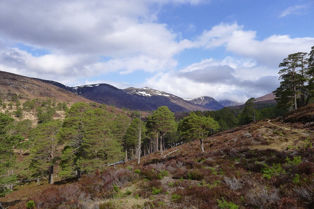
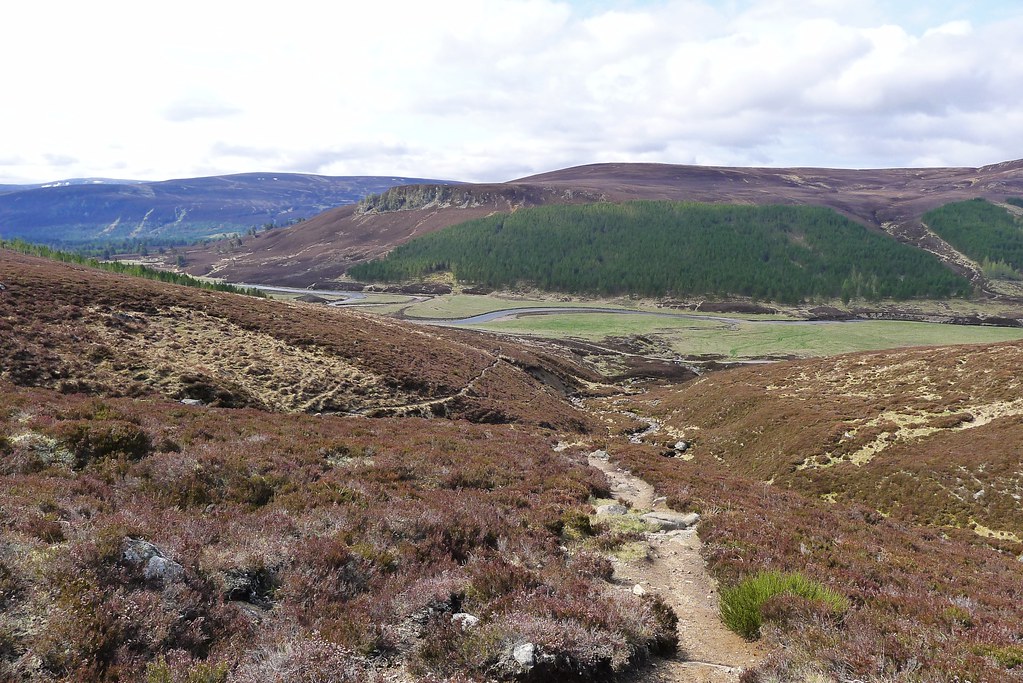
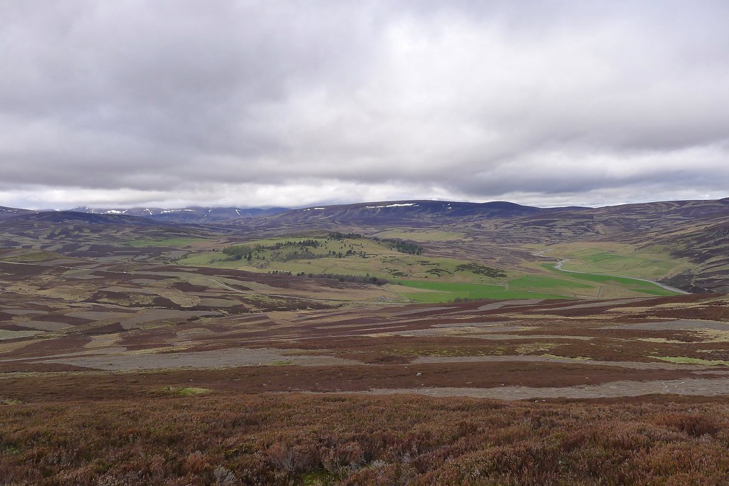
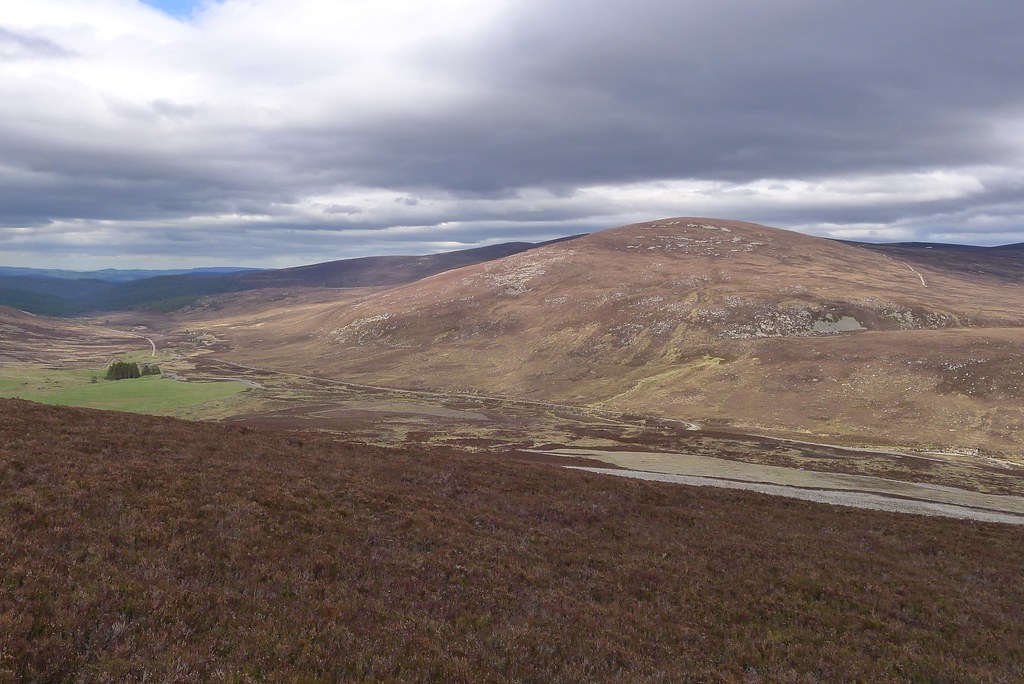
Eventually I came into a little glade of trees and stopped here for some lunch. The sun was shining and down in the glen it was very warm and humid. Refreshed I tackled the last stretch of largely trackless walking. Eventually the trees thinned and a faint track emerged as I came into the upper reaches of the glen. It was a relief to join the track leading up from Slugain to the Sneck and once again I was on familiar ground.
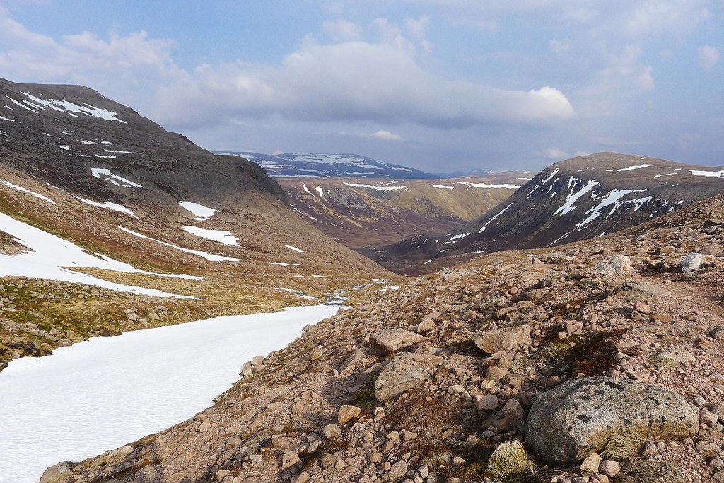
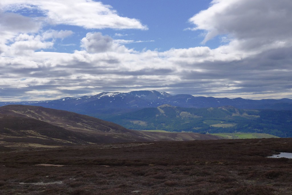
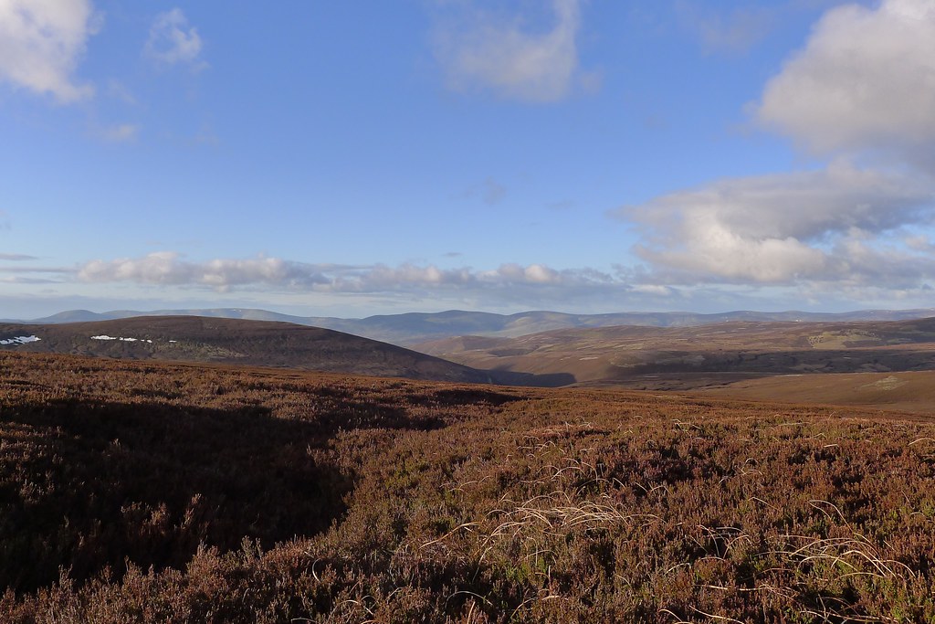
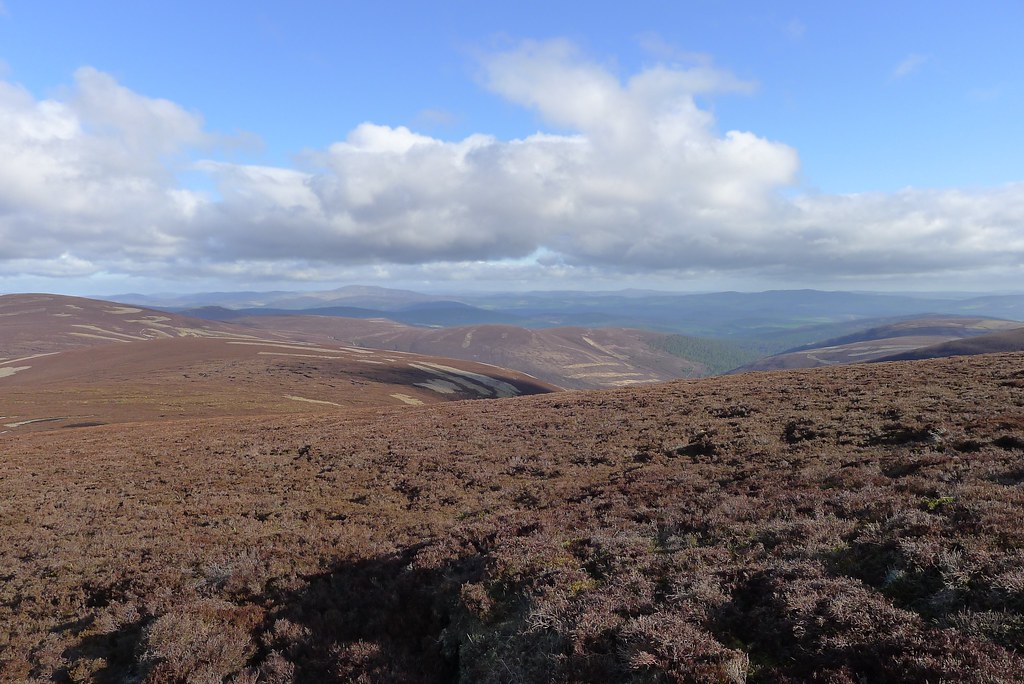
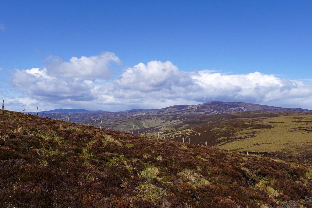
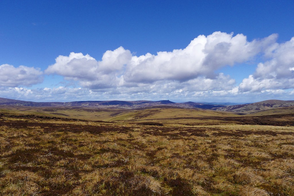
It was wonderful walking in the sunshine and I stopped to admire the views up to the big mountains of Beinn a’ Bhuird and Ben Avon. Behind me the central Cairngorms were receding into the distant haze. I refreshed my water supply from a side stream and then ambled on up the glen. I was last here back in February when a lot of the ground was snow covered. Even without snow I still managed to miss the obvious cairn marking the turning off to Glen Gairn but realised my mistake and was soon enough on the right track.
In February this had just been a faint white line, almost indiscernible from the surrounding heather, but I enjoyed the bimble on a good track with the views opening out towards the Gairn.
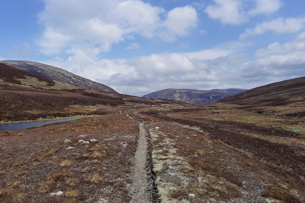
Progress was easy and I was soon in the deep cutting between Creah an Dail Bheag and Mhòr where the stream winds between grassy areas and jumbles of rock. On one of these I stopped for another food break as the rising breeze was blocked.
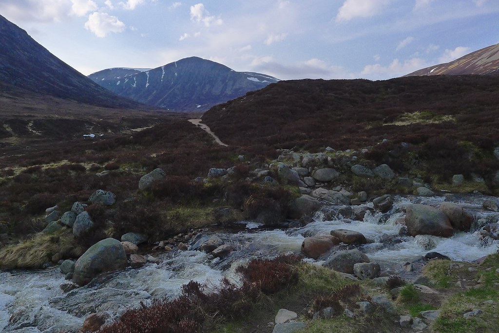
Out of the other side I had a number of interesting stream crossings where the snow melt on the Ben Avon plateau had swollen minor burns. This led to burst banks and the green-blue hint that told of snow and ice.
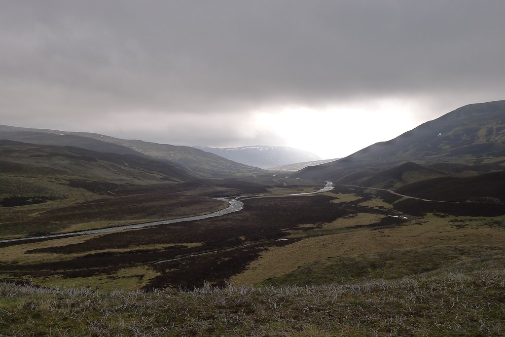
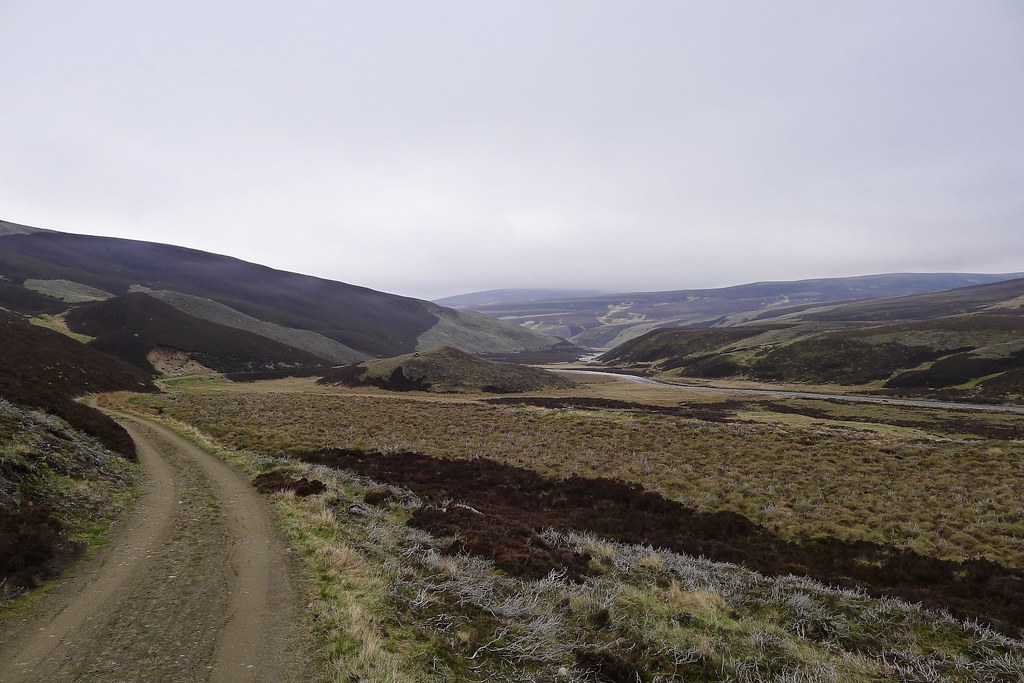
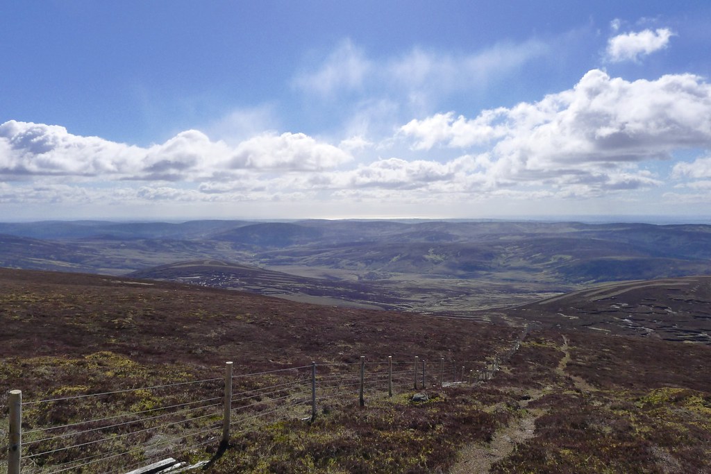
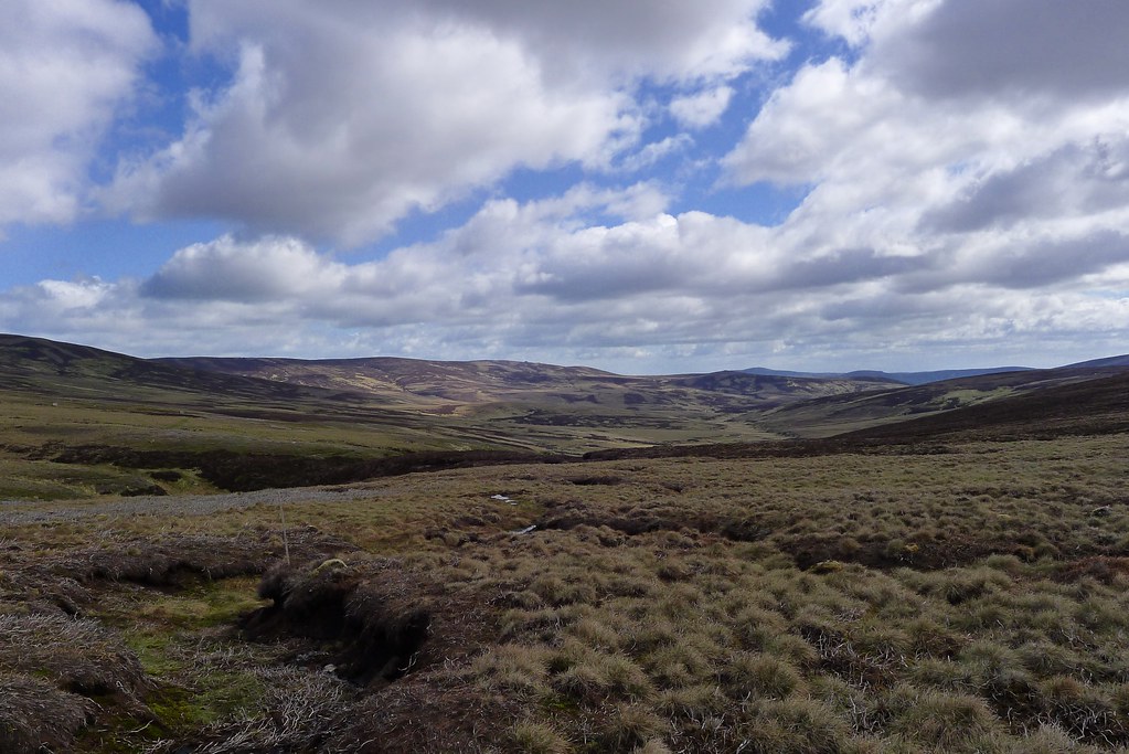
Beyond them though Glen Gairn was an easy walk although the weather deteriorated with a slow build up of cloud through the afternoon.
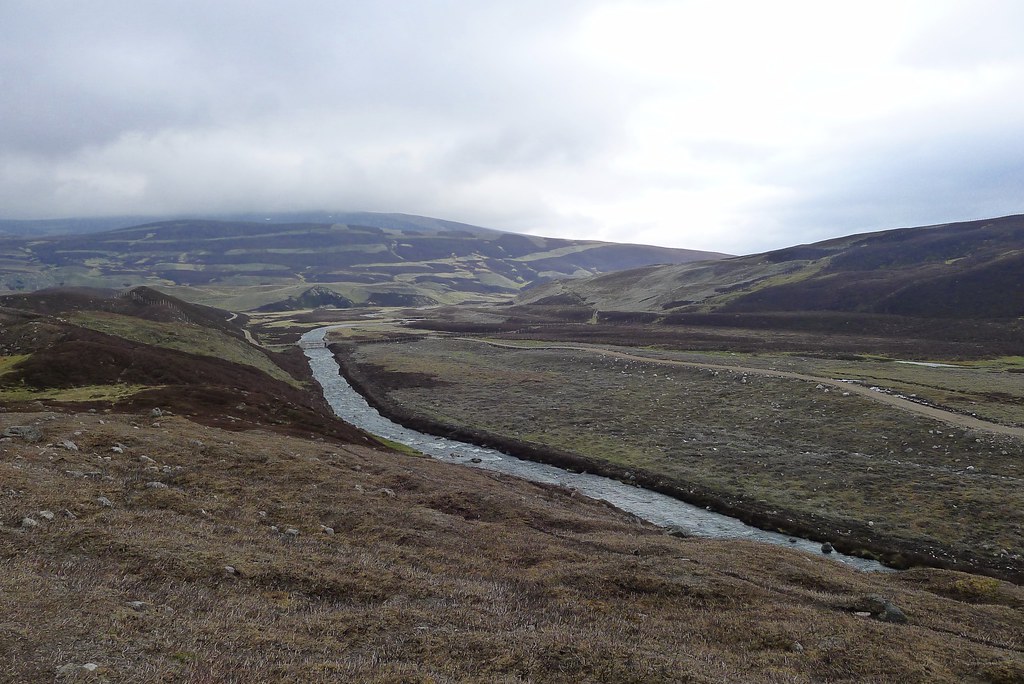
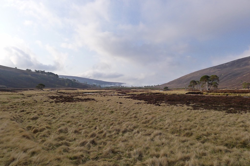
Near Loch Builg I turned to follow the Gairn down towards Corndavon Lodge, another new stretch of track and as the the last couple of kms passed I started to look forward to camping in the comfortable surrounds of the lodge.
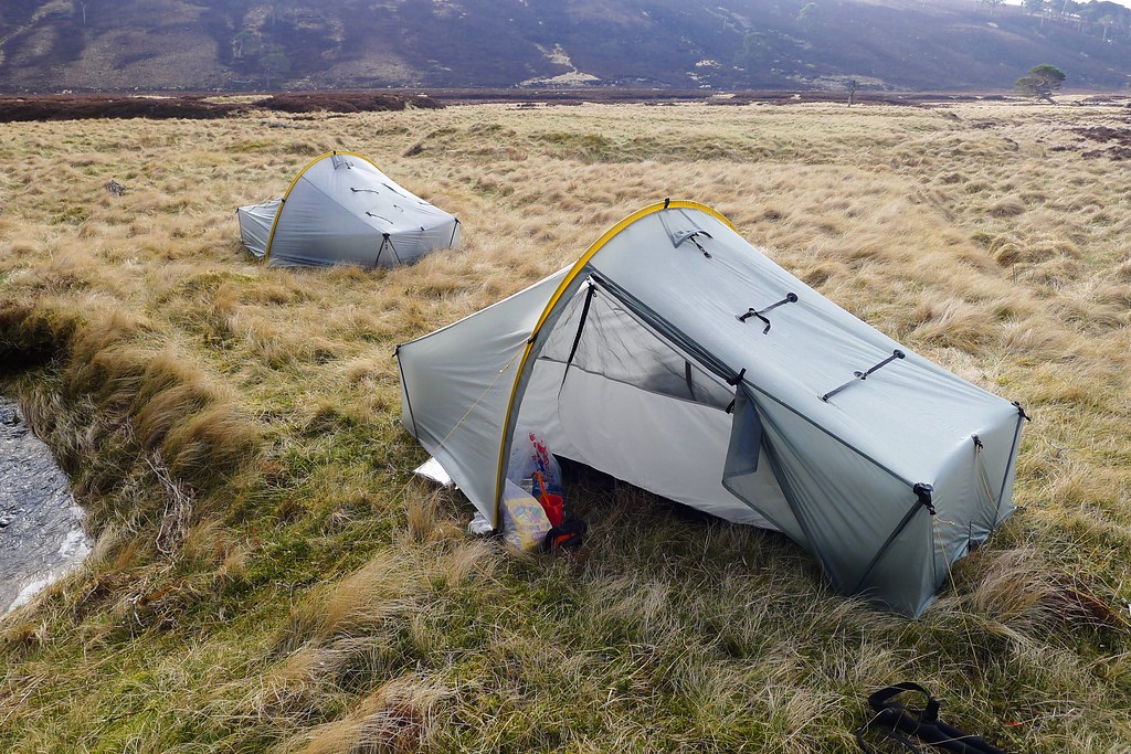
Alas it was not to be. Sheep had commandeered the flat, green grass surrounding the lodge so I continued on downstream a short way. There was a work party doing some planting (wading back and forth across the river to ferry tools and materials) but I figured I wouldn’t be disturbing them.

The wind had strengthened but I got the tent up ok, evicting several insects that had hitched a ride down from Glen Derry. I gathered water from the river and then as the first rain started retired to cook dinner, read and listen to a couple of podcasts before bed.
Day 11, Tuesday 21st May
Route: Wild Camp in Glen Gairn to Wild Camp below Cock Cairn
Distance: 35km (Total 279km)
Hills: Geallaig (Graham), Pannanich Hill
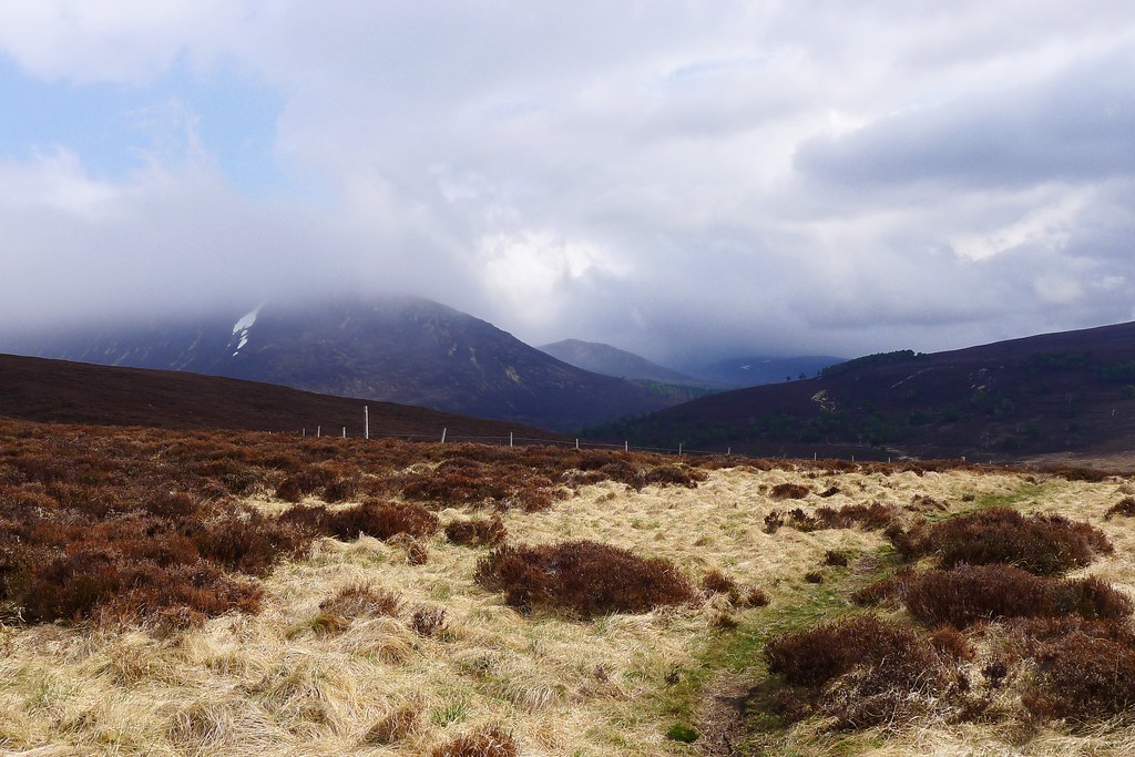
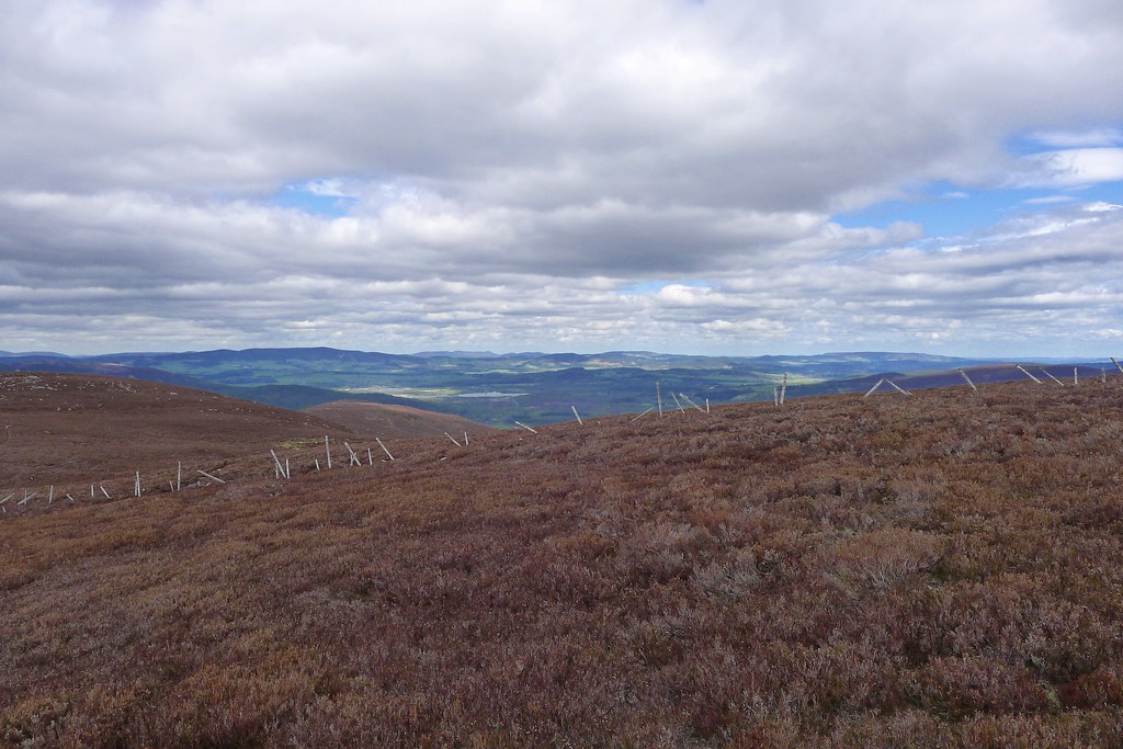
By the next morning there was no clear sign of an improvement in the weather. With even the lower surrounding hills shrouded in fog I slowly packed up and got on my way. The morning was quiet with dull skies and the only sound the bleating of sheep.
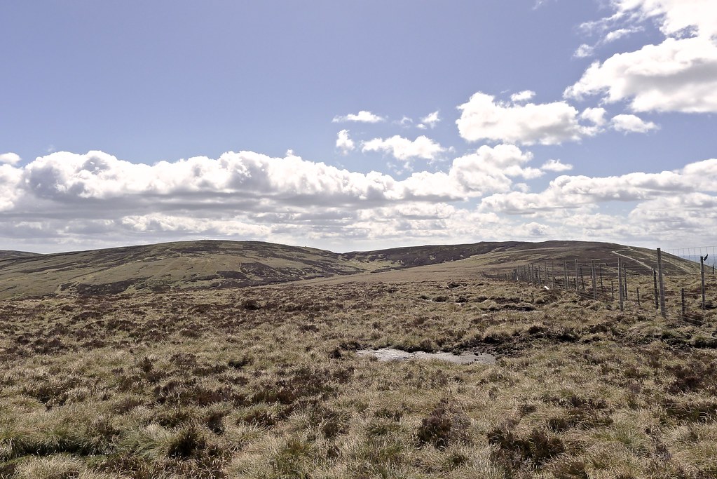
However, as I rounded a corner further down the glen the long rise of Geallaig Hill was suddenly seen in full, the cloud having lifted.
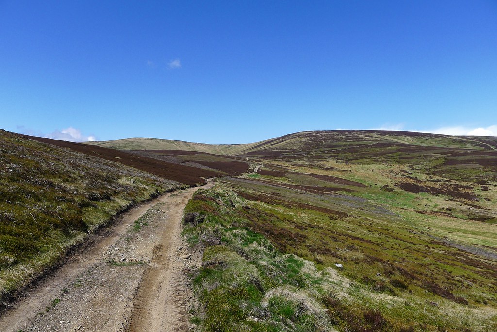
I now felt better about heading up and wound round the last few farms to the military road, crossing it to gain access to Geallaig by its western flank.
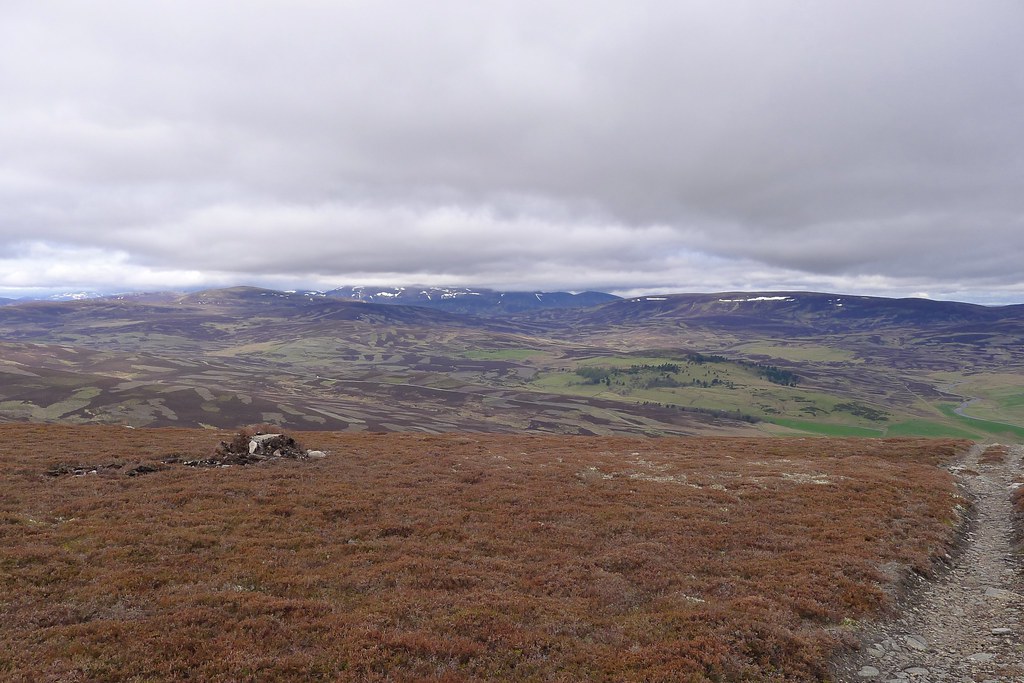
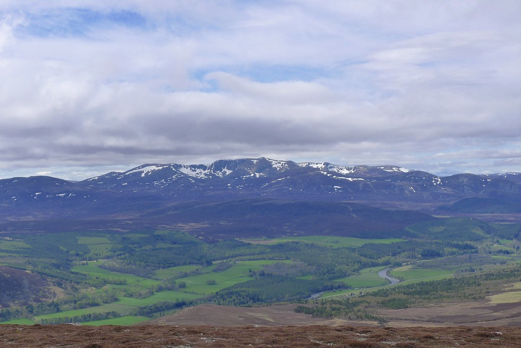
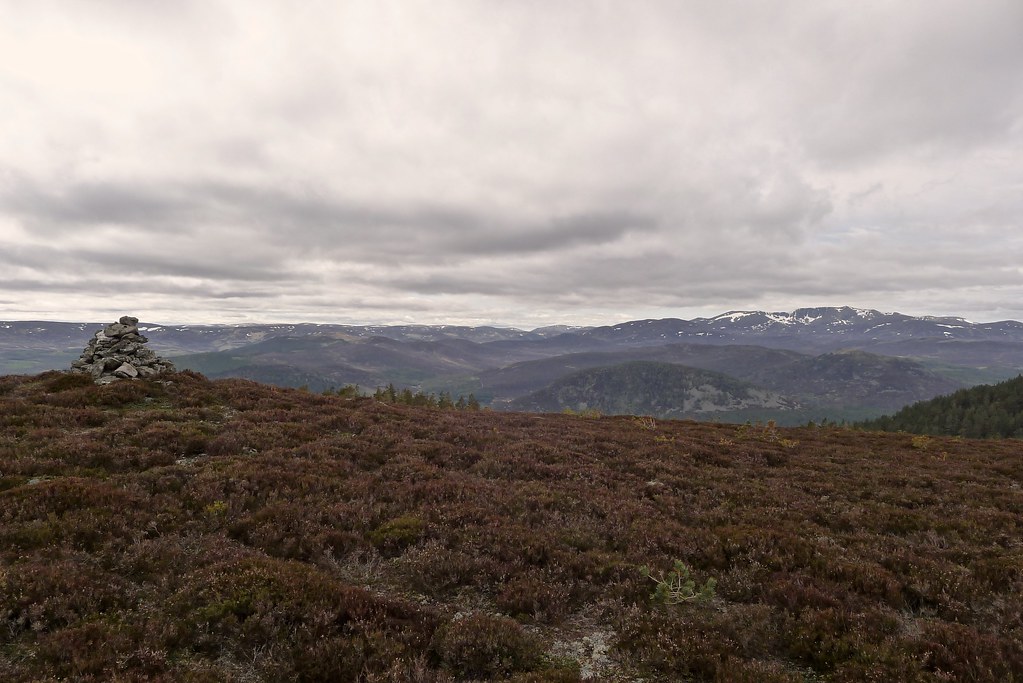
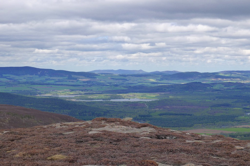
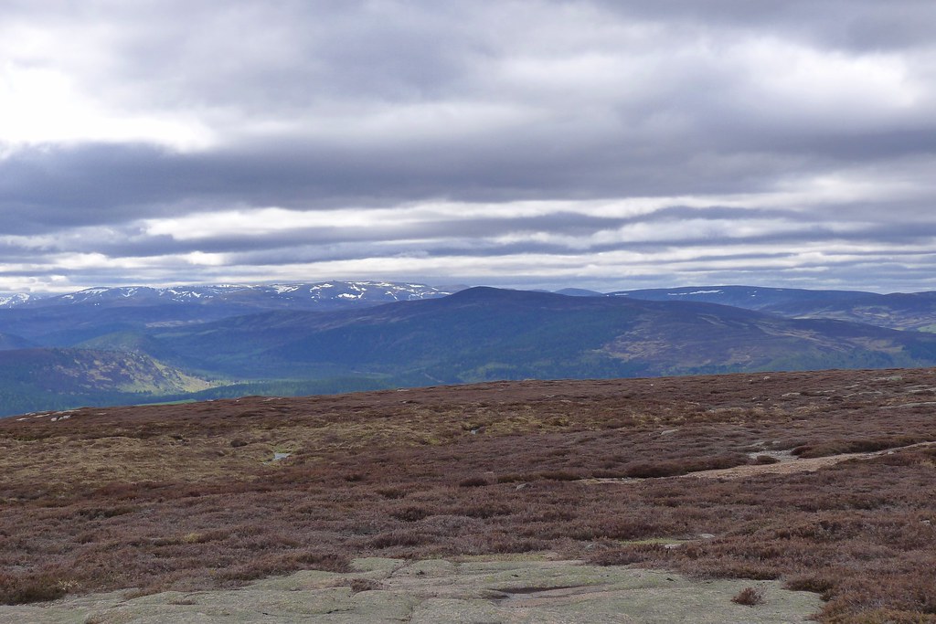
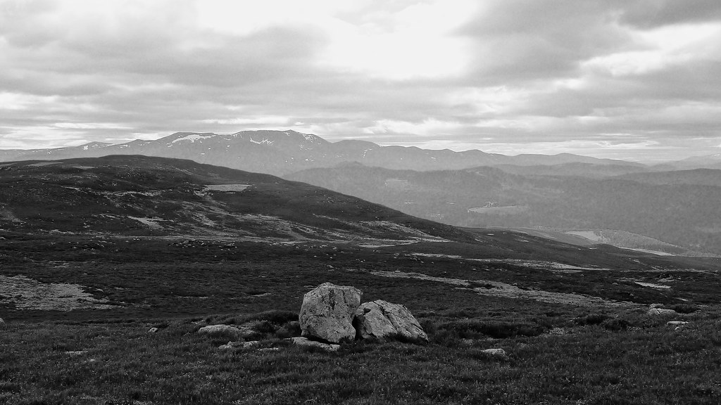
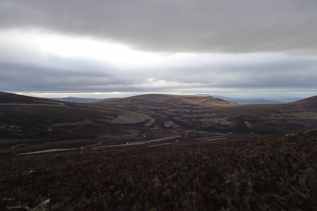
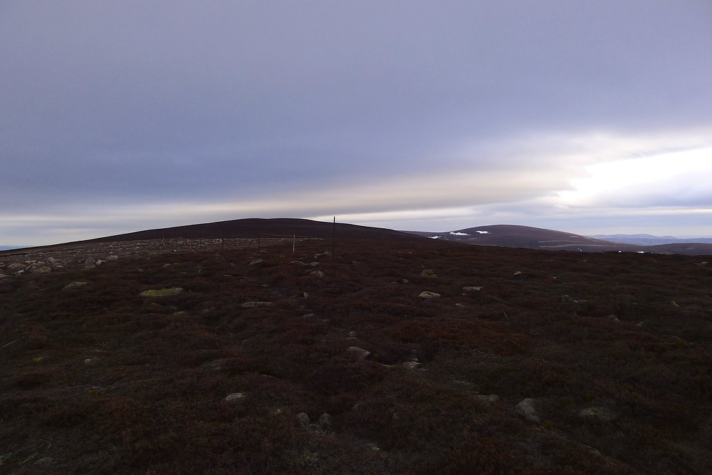
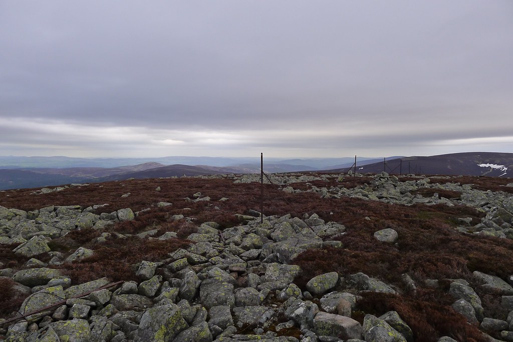
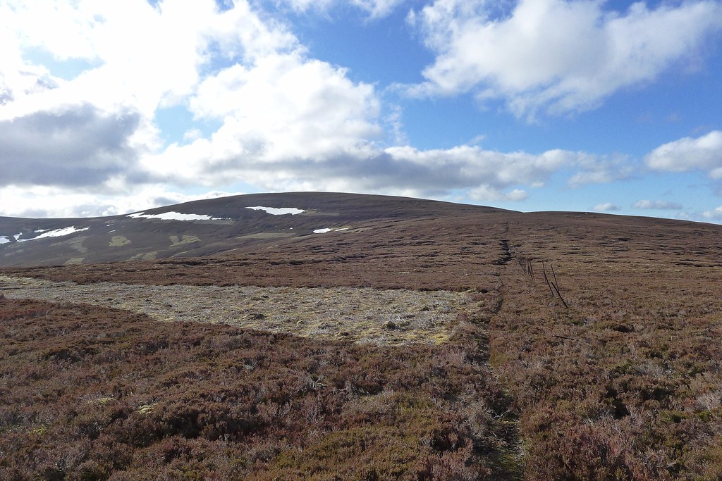
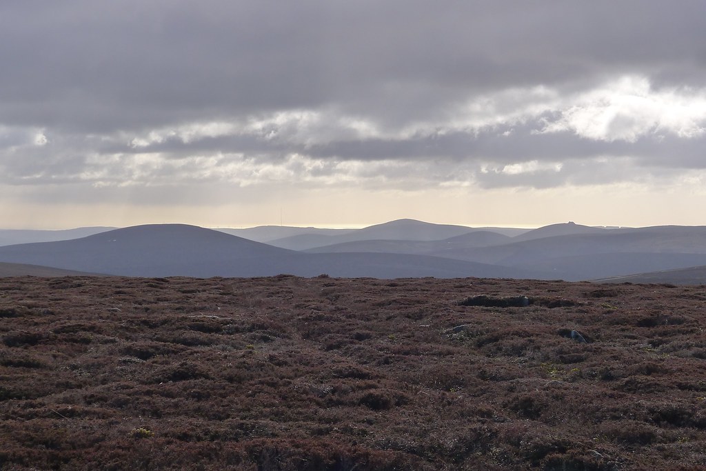
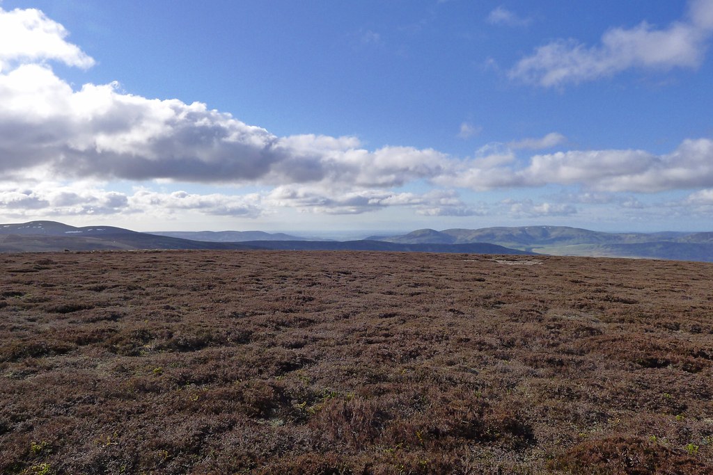
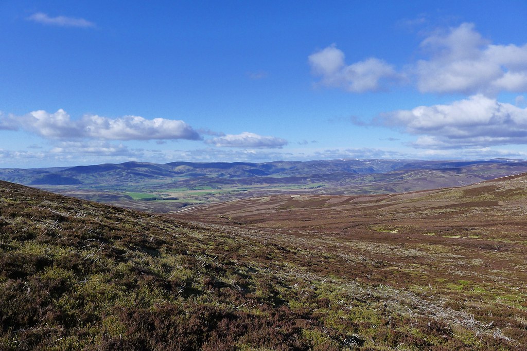
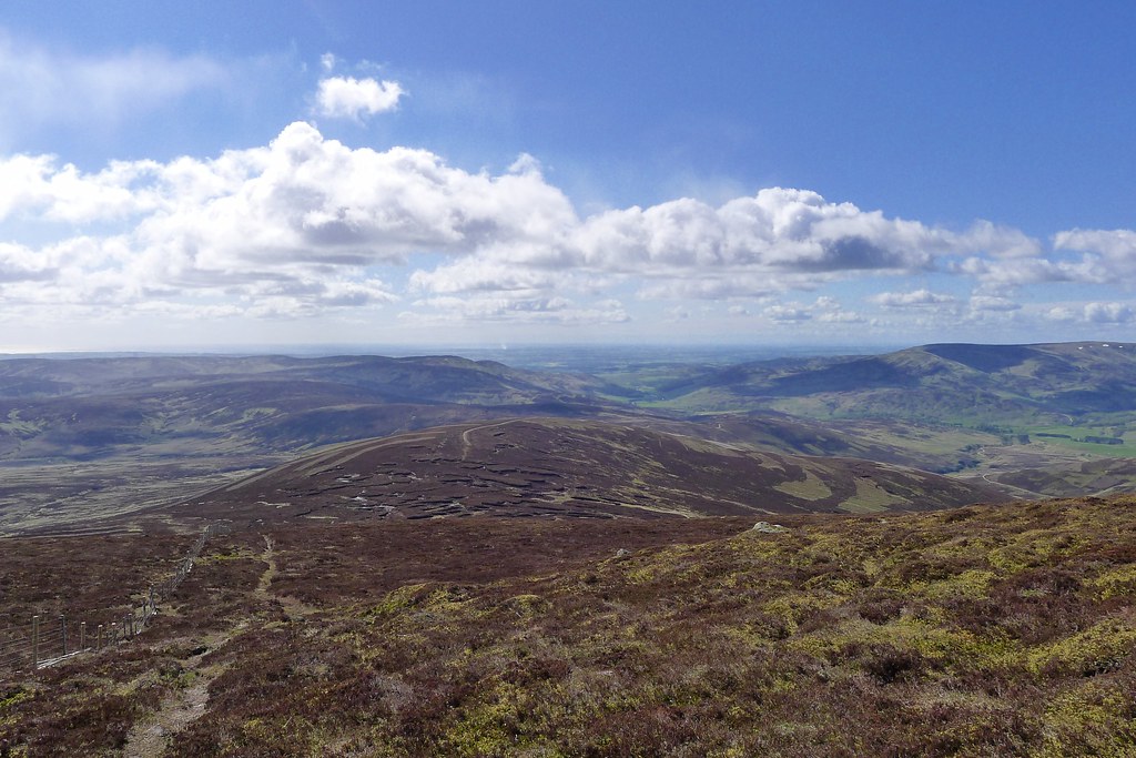
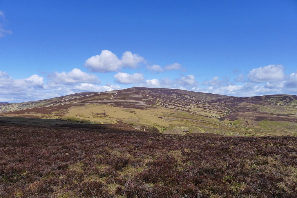
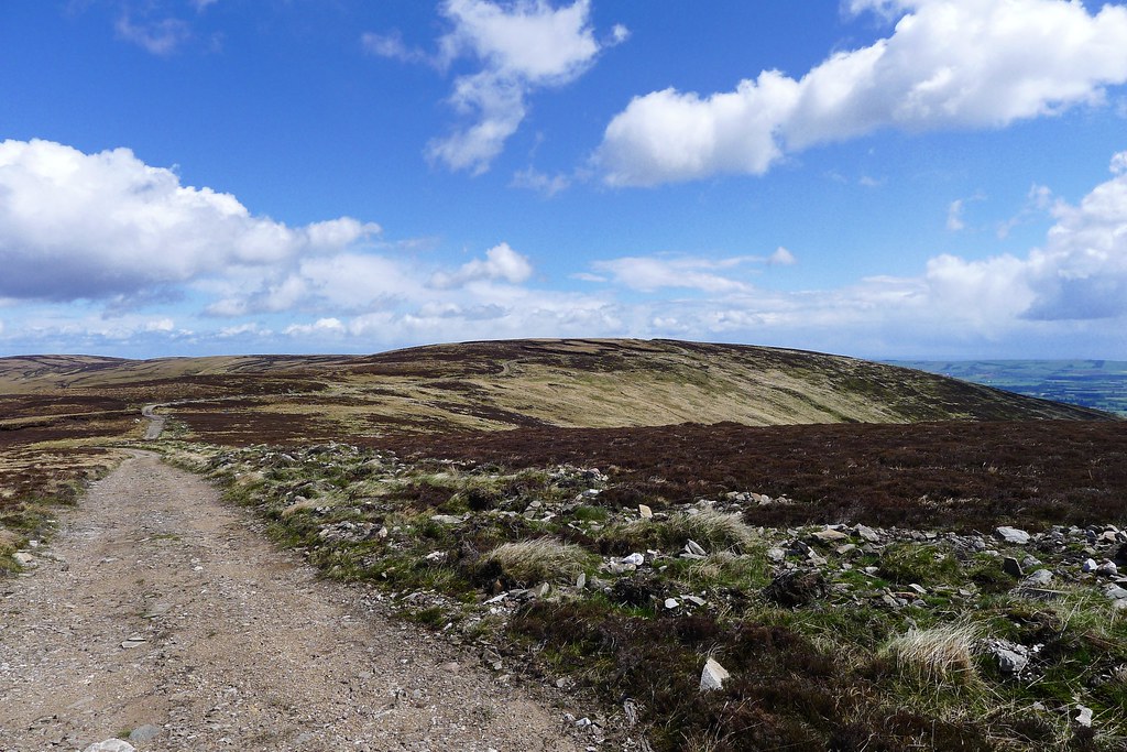
A steady pace got me to the top of a hill that offers fine views up and down the Dee. Close at hand was Morven, catching some sunshine, whilst across the river the crags and cliffs of Lochnagar looked very fine indeed. Further off the Cairngorms were still hidden beneath clouds.
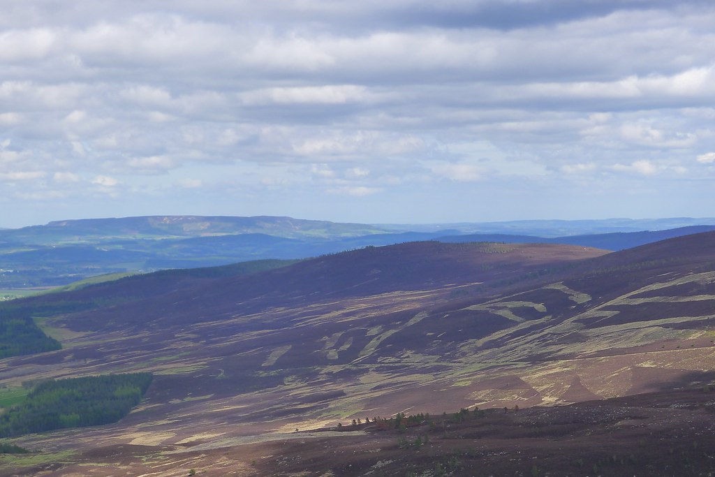
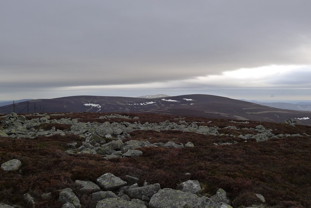
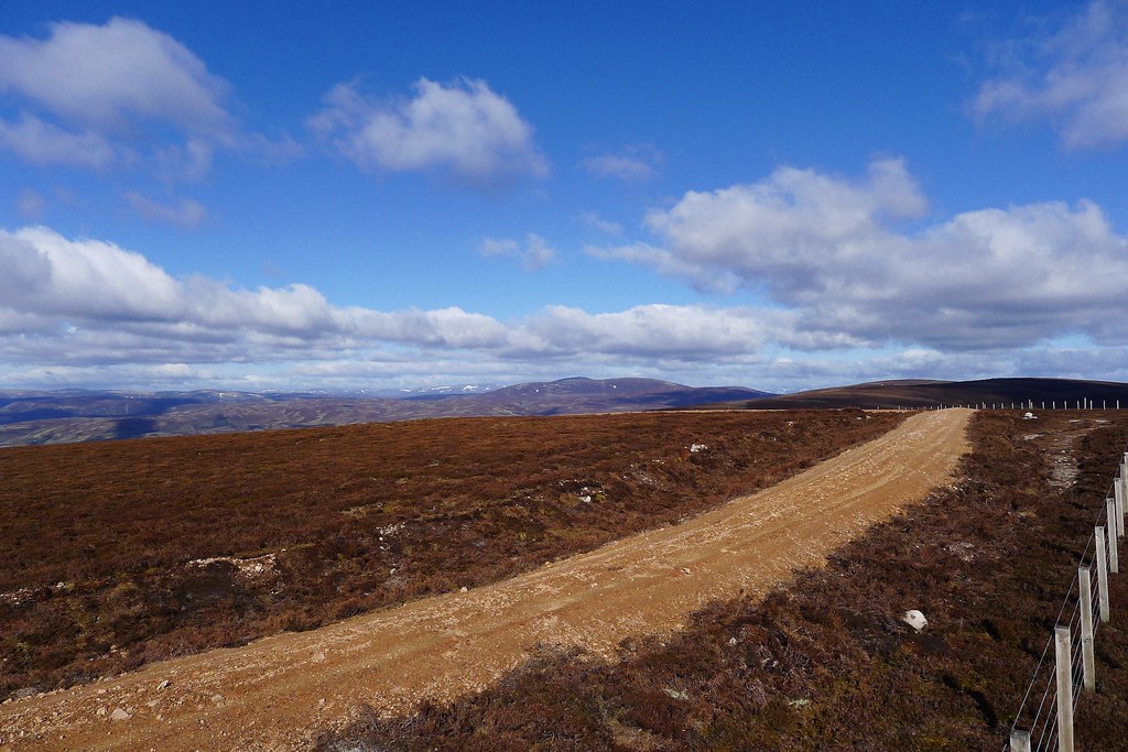
I had a second breakfast in the wind shelter on Geallaig before turning east to traverse the two tops on this side of the hill. The going was easy enough on a landrover track with occasional stretches of short heather. From the cairn on the final summit I looked down into the bottom of Glen Gairn which is suddenly civilised with roads, farms and sunshine.
I cut down towards the woods above Culsh and followed a faint track down to the farm road. I walked through the deserted farmyard and then cut down through fields finally having to gingerly clamber over a barbed-wire fence to reach the road.
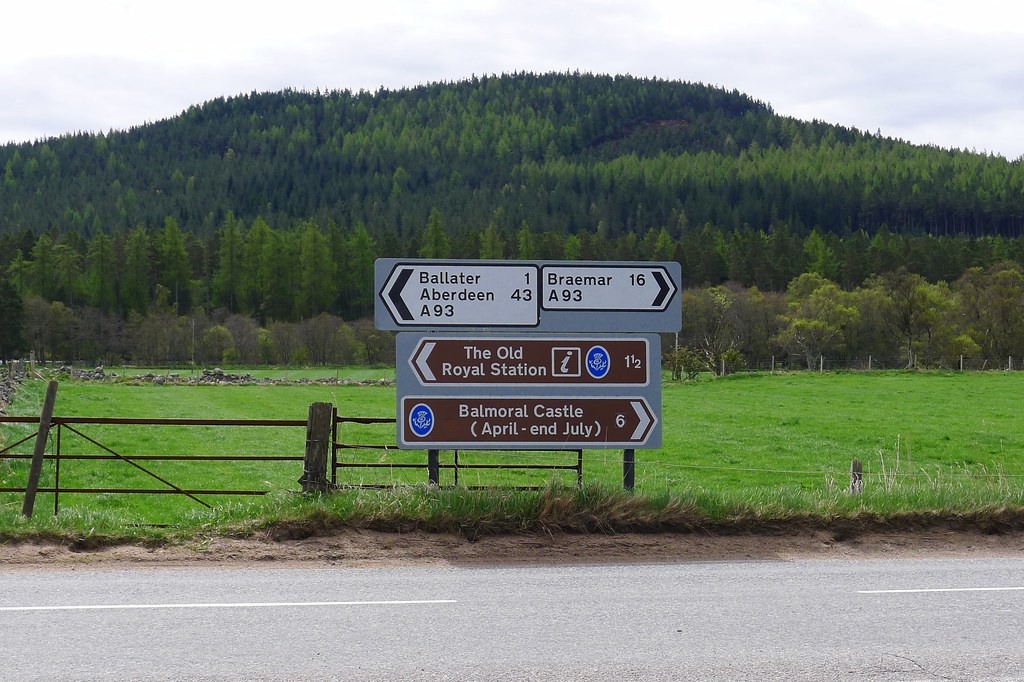
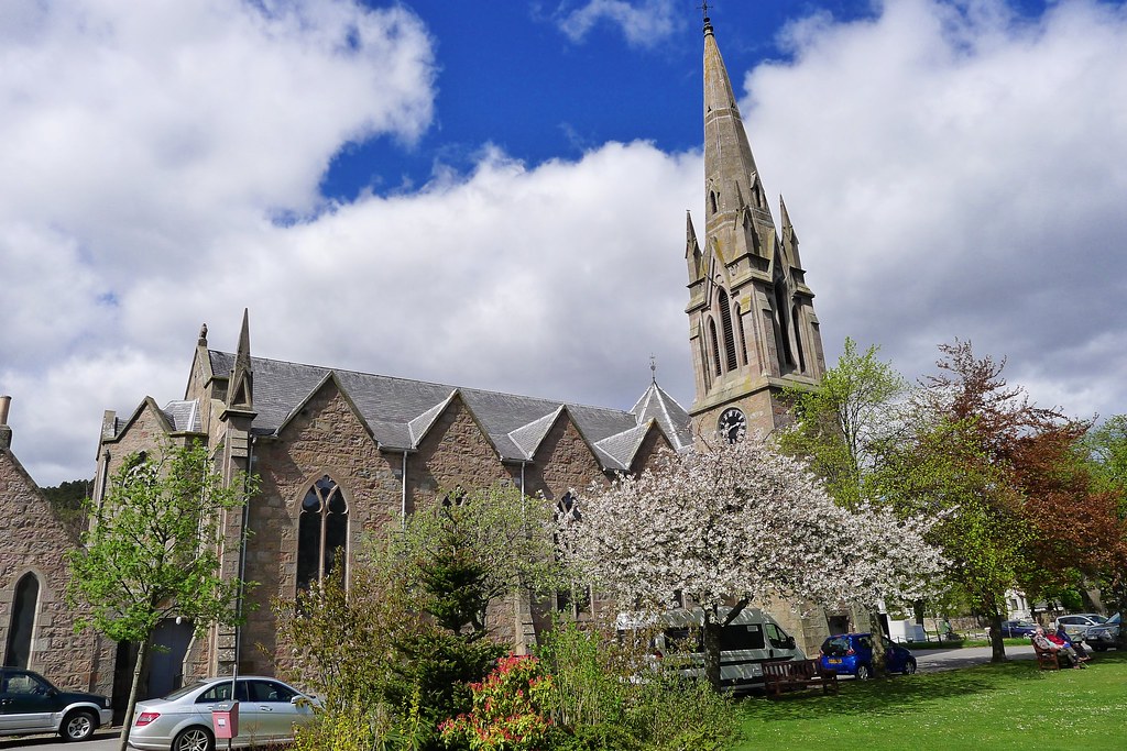
A short way down I came to my first east coast marker, a road sign telling me I was just 43 miles from Aberdeen! I picked up the Ballater path network, following the road briefly before dropping down to walk into the village by the delightful riverside path. By now it seemed that the sun was out to stay and the day had warmed up dramatically.
In Ballater I stopped at The Bothy for a delicious lunch of soup and sandwich followed by a huge fruit scone with a mug of coffee and a pot of tea. They kindly allowed me to charge up my phone and next door in the Braemar Mountain Sports shop I was able to buy a pair of Teko socks to replace my ragged socks. Feeling thoroughly satisfied I popped down the road to the Co-op to restock, encountering the worst selection of dry meals so far, and then sat on the green in the sunshine to sort out food, socks and place calls to Challenge Control and home.
It was hard but eventually I had to tear myself away from the comfortable bench and the sunshine. The final stage of the journey beckoned.
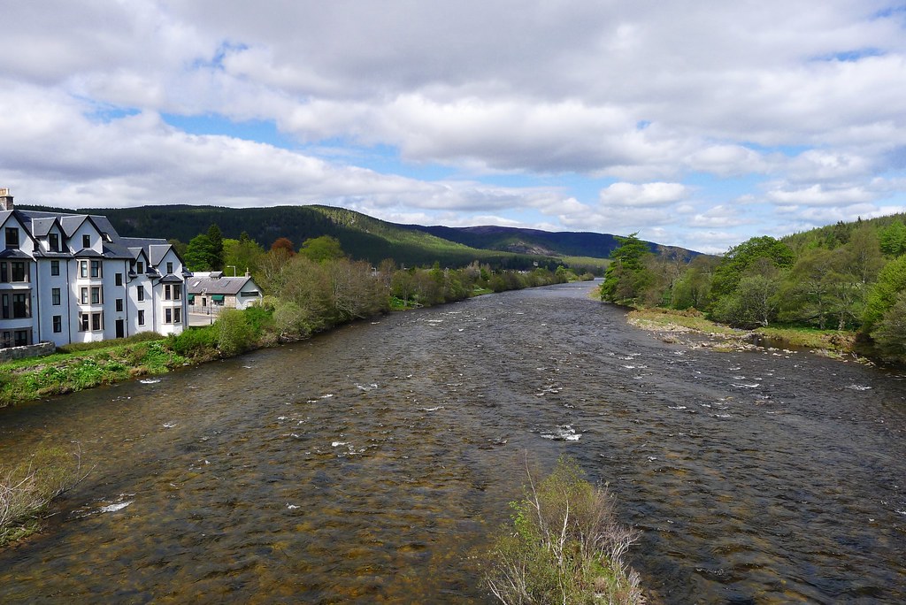
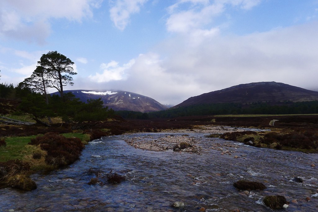
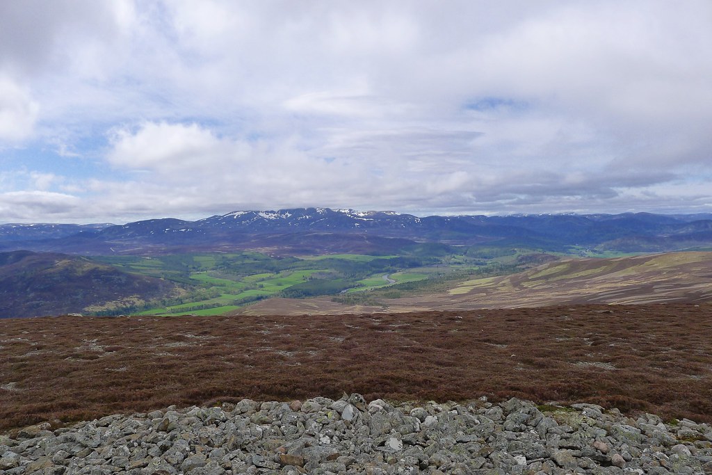
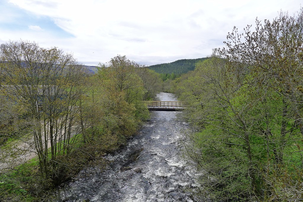
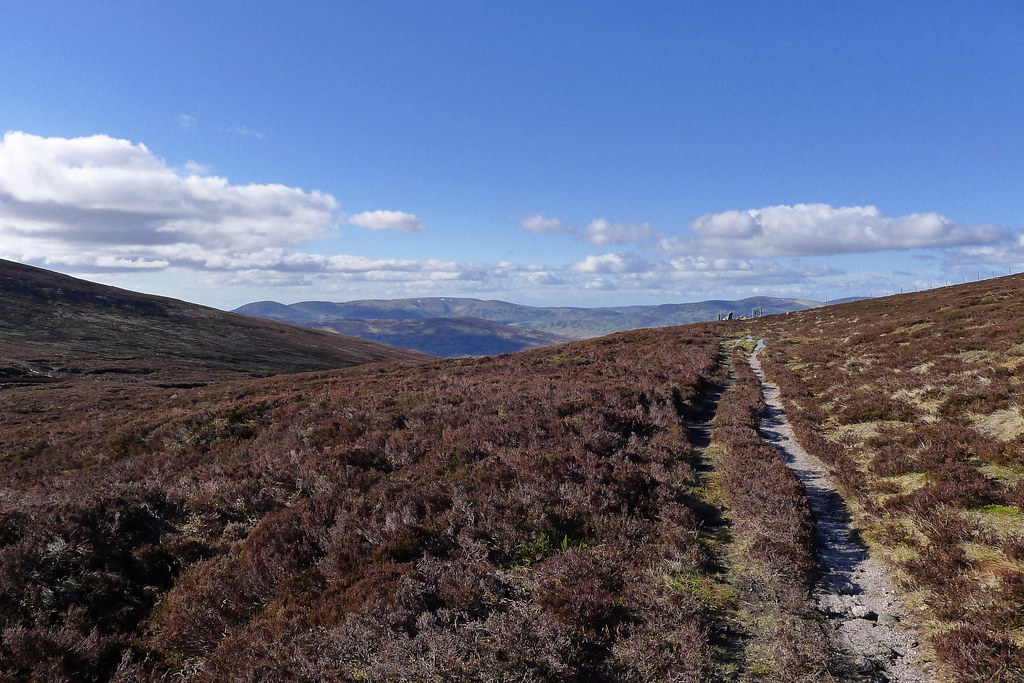
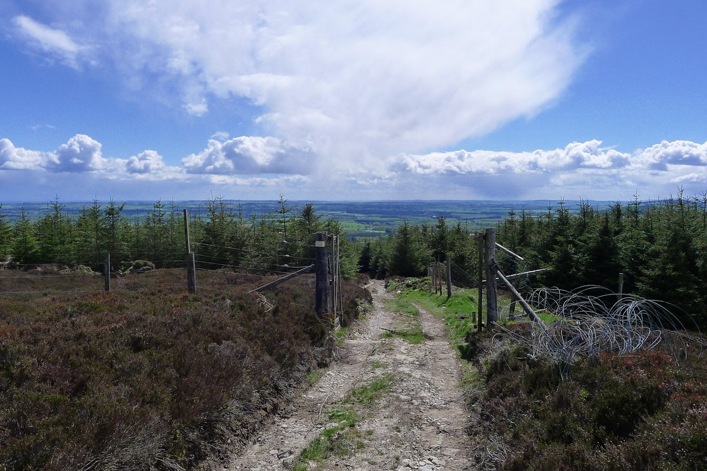
Crossing the Dee by the graceful stone bridge I left the road and wound my way along forest tracks, the afternoon sun filtered through lush green leaves. At the back entrance to the House of Glenmuick I picked up the vehicle track that climbs steadily alongside the woods and up to the summit of Pannanich Hill. After a couple of hours down in the glen it was good to get back up into the open spaces and now the hills of the Mounth stretched out in front of me.
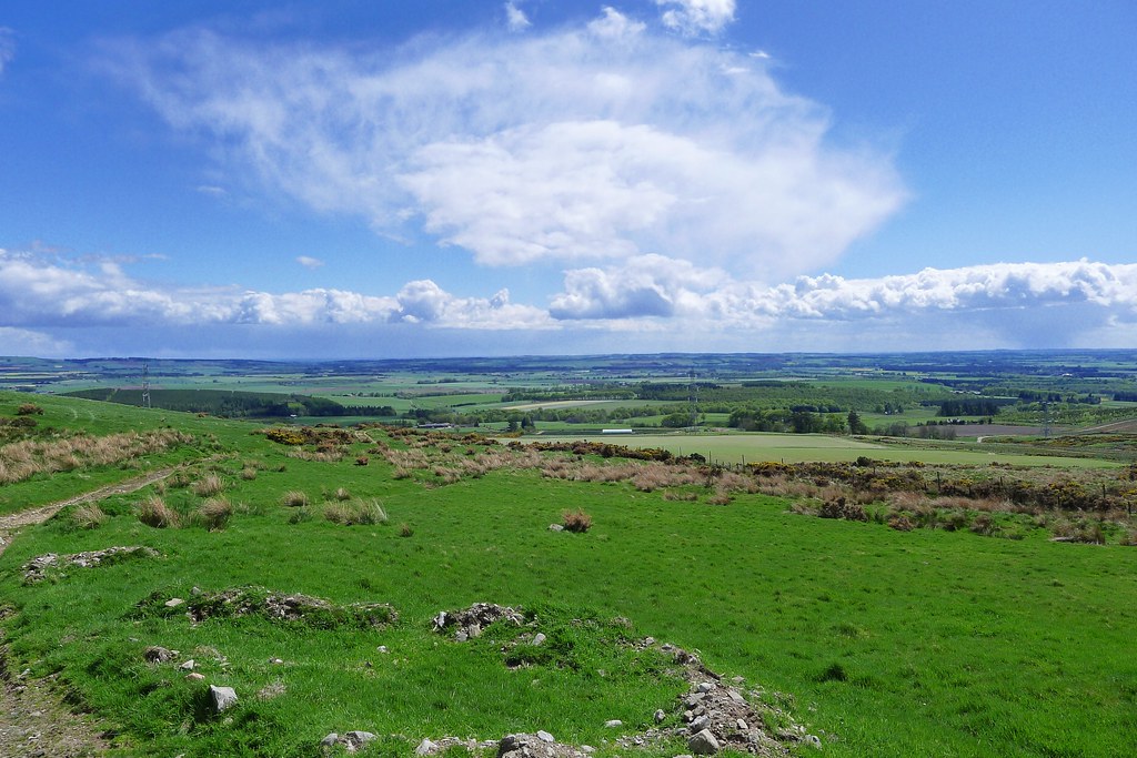
From Pannanich Hill the familiar hills of Aberdeenshire - Bennachie, Hill of Fare and Kerloch - were seen, as well as the tower blocks on the west side of Aberdeen, just catching the sunlight on the edge of sight.
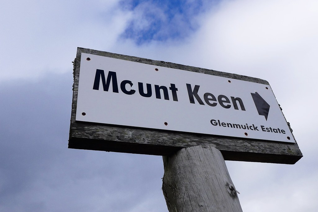
I followed the vehicle tracks south across Pannanich hill and then down through a wide flat basin below Knockie Branar and Cairn Leuchan to eventually reach the junction with the Mounth Road, marked by a clear sign pointing the way to Mount Keen.
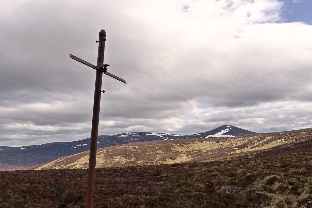
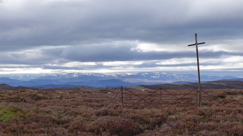
At first it was a grassy trail through open swathes of long grass and crossing the occasional stream. It peaked at a gate with a metal cross that offered the first views into Glen Tanar and also back to the Cairngorms.
The path now led down between heather and then contoured around the lower slopes of the hill heading gently downward.
As I dropped down to the Water of Tanar I spied two people lazing around by the ruins of the old croft near the footbridge that carries the Mounth road across toward Mount Keen. These turned out to be the fourth and fifth Challengers I had met on my Crossing. Ian and Christine Wright were from the Wirral and I enjoyed a pleasant chat with them whilst they set up their tent in the wonderful meadow that sits at this end of the glen.
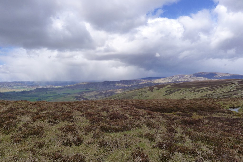
On my planned route this was also to be my campsite for the night, and I’m sure it would have been wonderful, however it was only 5pm and I decided if I could make some inroads into the next day’s mileage it would allow me to break up the dreaded east coast road walk. I had intended to march from the hills to the coast in a day but was now a bit worried about rebellion from the feet over 20 miles of tarmac. In addition the weather forecast I got in Ballater indicated strengthening winds coming in on Wednesday night which would make a final high camp perhaps more than a little unpleasant.
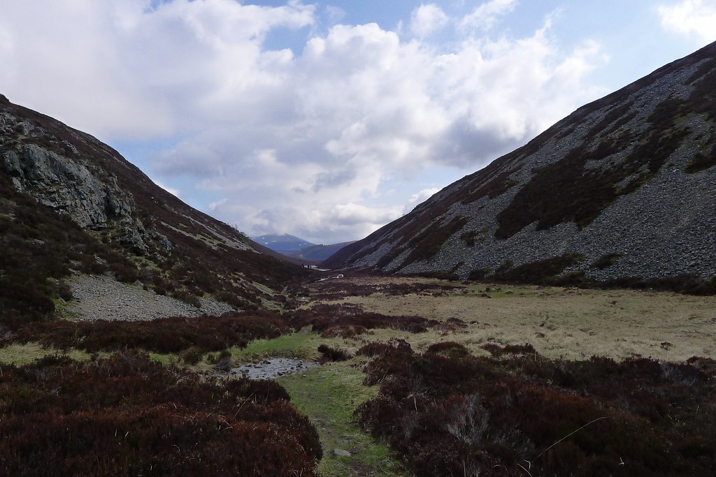
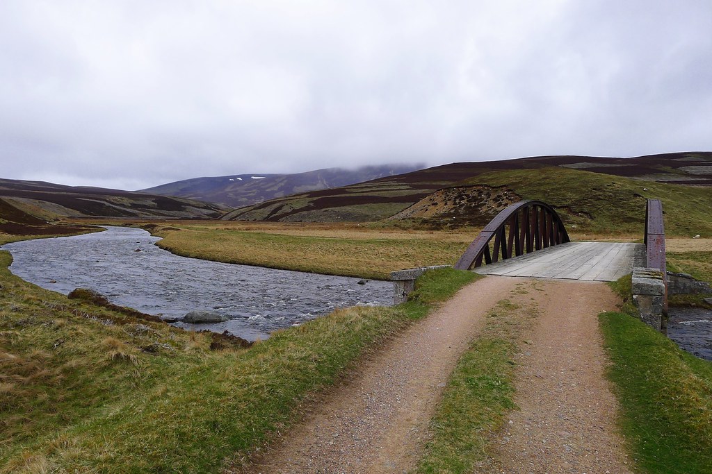
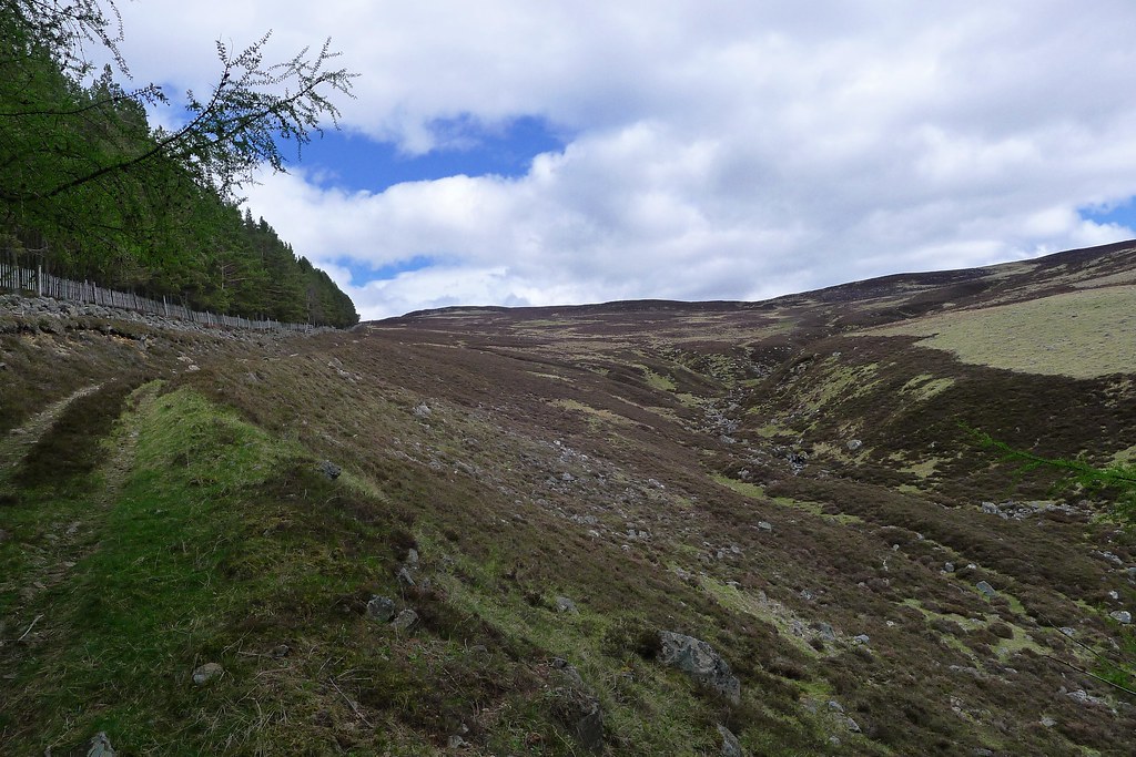
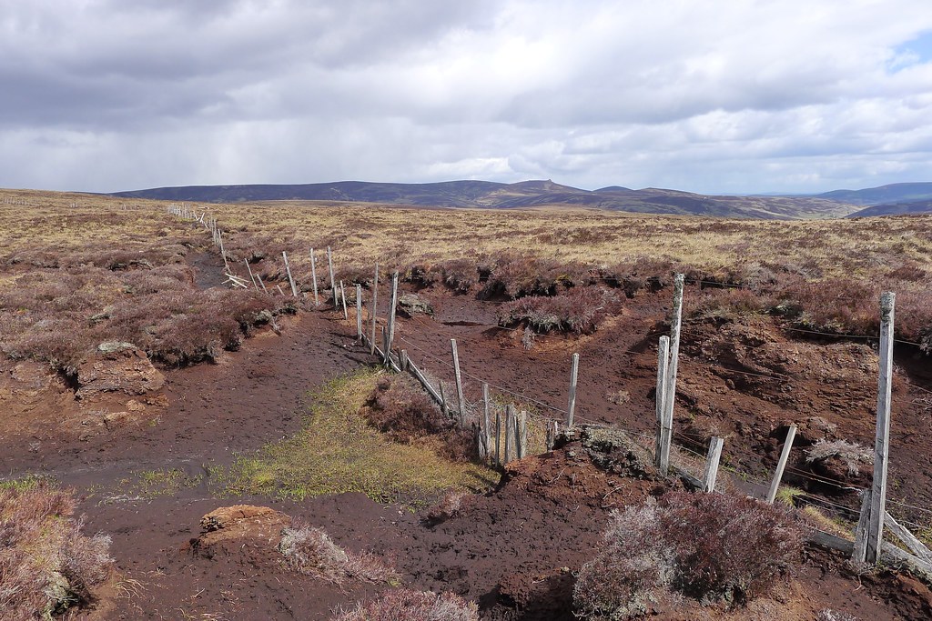
So it was that I rather reluctantly bid farewell to Christine and Ian and headed down the Tanar slightly to a point where it was possible to pick my way across the river whilst maintaining dry feet. The landrover track took me up below Clachan Yell and at the junction near Broad Cairn I branched off to follow a track that wound its way down the lower slopes of Gathering Cairn towards the Wolf Grain stream. Eventually the track petered out and I picked a way across bog and heather, climbing up the slopes of the Hill of Gairney.
It was hard going after a long day and as I moved onward a thick grey cloud came over the sky casting a strange light across the hills of the Mounth. It was very reminiscent of the vapours that rise out of Mordor and send the lands into a lingering twilight in Lord of the Rings.
The tramp up to Cock Cairn was slow and steady but it was rewarding to see Mount Battock off in the distance. Away to the south the hills above Glen Esk were bathed in the warm glow of evening.
Where I was though a strong breeze had gathered and so once I was on the eastern slopes of Cock Cairn I started to cast about for a sheltered spot. Everywhere was thick heather or bog and eventually I settled for a little cleared area on a raised island amongst a sea of heather. The tent fit almost perfectly, though I did a little landscaping to prevent the heather impaling the tent.
Once the tent was up I had to walk about ten minutes further down the hill to the upper reaches of the East Grain where I was able to gather water. Back at the tent I was glad to cook up a dinner of soup, pasta and then super noodles, watching as the golden light over Glen Esk slowly faded. A cold wind continued to blow and it was another night of cosying up in the sleeping bag with my Kindle and podcasts.
Day 12, Wednesday 22nd May
Route: Wild Camp below the Hill of Cat to North Water Bridge
Distance: 30km (Total: 309km)
Hills: Mount Battock (Corbett)

The morning was much better; the cloud had dispersed and it was sunshine that woke me as it crested the hill behind the tent. I was fairly well protected from the breeze but still ended up making breakfast in the tent porch as the wind was steadily rising.
Under bright sunshine I enjoyed packing up a dry tent and then made my way westward, starting what I expected would be the penultimate day. I crossed over the East Grain and then made my way onto the Hill of Cat and then to the flat summit of Tampie.

From the summit there were glorious views in all directions but I was particularly excited to see, far off and shimmering in the golden morning light, the North Sea.
As I approached the Fungle Road (crossed with the Stockets back in February 2008) I knew I was getting into electric fence territory, and sure enough the first one appeared. There was a gate in the corner which I used and this took me down through the enclosure until another gate took me back out from where it was an easy descent down to the Fungle.
I followed the track a short way to make use of the big gate here and then left the track to climb up the delightfully named Mudlee Bracks, at first following a deer path, but then joining a landrover track higher up.
Mount Battock was by now looking closer and I followed the rise of the hill up and onto the Hill of Cammie where another electric fence was crossed. This led to a steep drop down into the narrow glen containing the Tennet with the slopes of Mount Battock rising steeply on the far side. I spotted a couple of figures with big bags making their way up on the other side of the fence. My side had a faint track which I followed up on wet grass, glad to top out on the ridge.
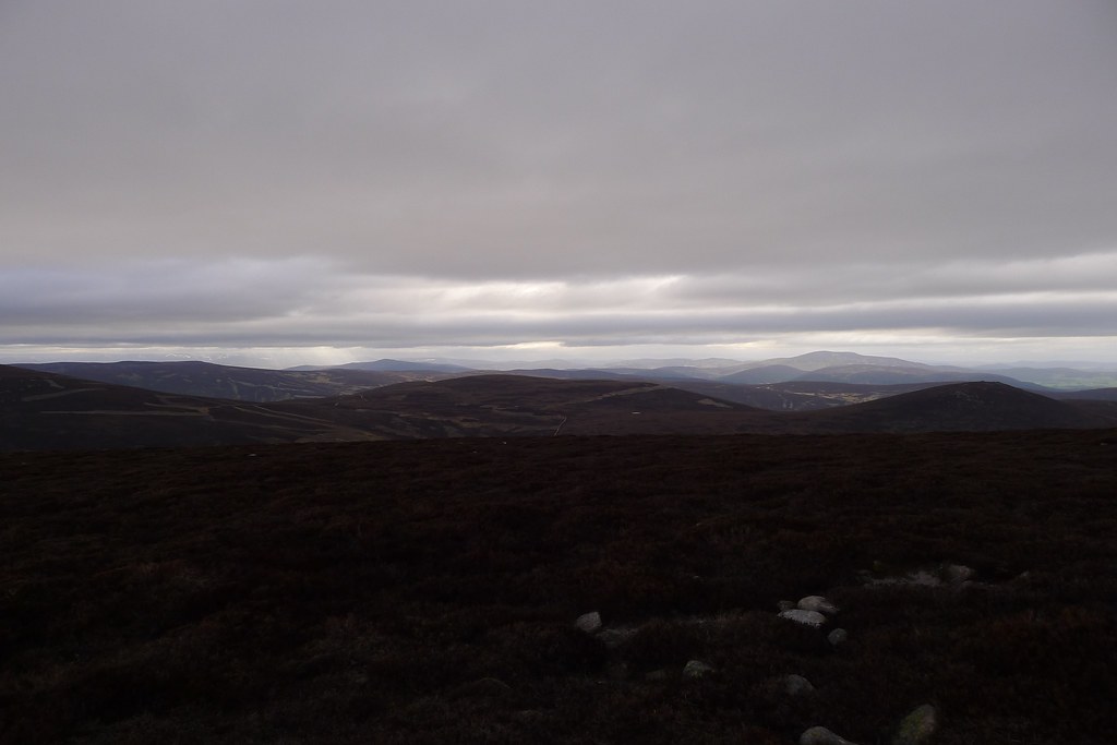
Here at just short of 800m it was clear that the wind was much stronger and it was very difficult to make progress towards the summit of the hill. The fierce wind blew me off course continually but eventually I made it to the top where I caught up with the two Challengers. They took a quick break in the wind shelter before carrying on towards the Fettereso forest. I took a few moments to enjoy the solitude, gazing out east towards the sea and across Glen Esk to the Hill of Wirren.
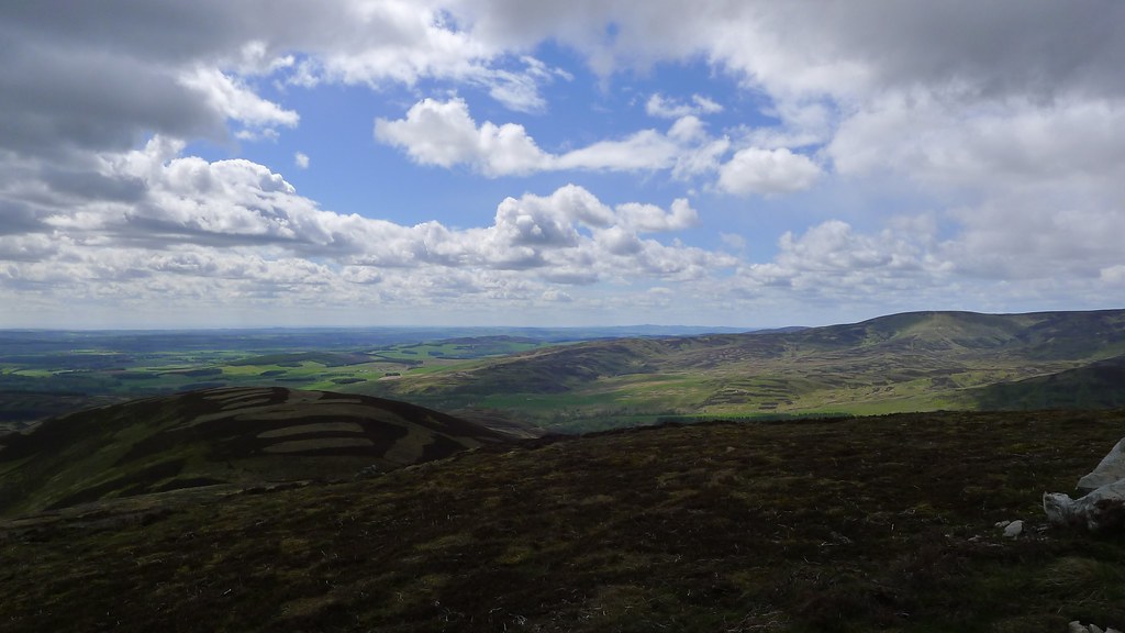
From Mount Battock I could now see the final hills of the Crossing. I descended by the steep, boggy path on the eastern side of the hill, eventually joining the landrover track that runs down towards Glen Esk across the Hill of Saughs.
Unsure of the exact routing of this track I eventually left it and crossed a fence to then clomp through the heather and up past a few grouse butts to reach the flat summit of the Hill of Fingray. The wind was now a continual presence and walking was quite difficult at times but the views were stunning with Clachnaben now off to my left.
The final plod over the Shank of Mondair, Murmannoch and then up towards Craigancash seemed to take forever and the terrain was unrelentingly awkward until the very summit of the hill. I found myself again on the wrong side of a fence and crossed it to reach another track.
As I started heading slightly north the weather caught up with me and a fierce hailstorm was unleashed. Even through my trousers and waterproofs the stinging was horrible and so I hunkered down behind a boulder to let it pass.
Soon the sun was shining again and I made my way along the track towards Sturdy Hill, determined to “bag” this final trig point before making my way down. I left the track and climbed up through peat and heather only to the find that the trig point was on the other side of the fence!!
Another shower was fast approaching so I gazed winsomely at the trig point but couldn’t be bothered to cross the fence. I quickly retreated a short way and found another spot to shelter as a second fierce hail storm passed through. This time I had my lunch whilst it passed.
Once again the sunshine reappeared and I dropped back down only to find that the track I was on petered out and that a completely independent track now wound away in the direction I wanted to go, only on the other side of a fence!!!! I crossed this last obstacle and followed the fence as it wound its way around the head of a wide coire. I crawled under a dilapidated fence and then made a swift descent down to a track that ran out of the coire of Black Goit and eastward across low hills to the plain beyond.
A final hail storm caught me on this track and once again I sheltered behind a high bank but it was over as quickly as it started and I now made easy progress along the last of the undulations, enjoying the expansive views out across the Mearns. I dropped down through the woods of Balfour, passed the odd collection of buildings at Easter Balfour and finally emerged onto a minor road under a bright spring sky.
It was early afternoon and I now had a fair few miles of tarmac ahead of me. On the next smaller road I stopped to try and eject as much grit and dirt out of my socks as possible and to remove my waterproofs.

The next couple of hours was a bit of a plod but the farmland was pleasant and it was interesting to see some of the huge houses out this way. I wound hither and thither, trying to take the most direct route without going down what I thought might be farmyard lanes that could involve dogs (I’m not a dog person at all).
Eventually I joined a busier road that led me down towards North Water Bridge. The weather held most of the way and it was only as I entered the woods near Edzell that rain started. However, the wind continued to be incredibly strong, blowing straight down off the hills and over the exposed farmland.
I was glad to finally reach the road junction just before the roar of the A90 from where I could see the cheerful flags marking the entrance to the campsite at North Water Bridge. I trundled down the final stretch of road and was very glad to be at a sensible resting point, with the coast now a very achievable distance away.
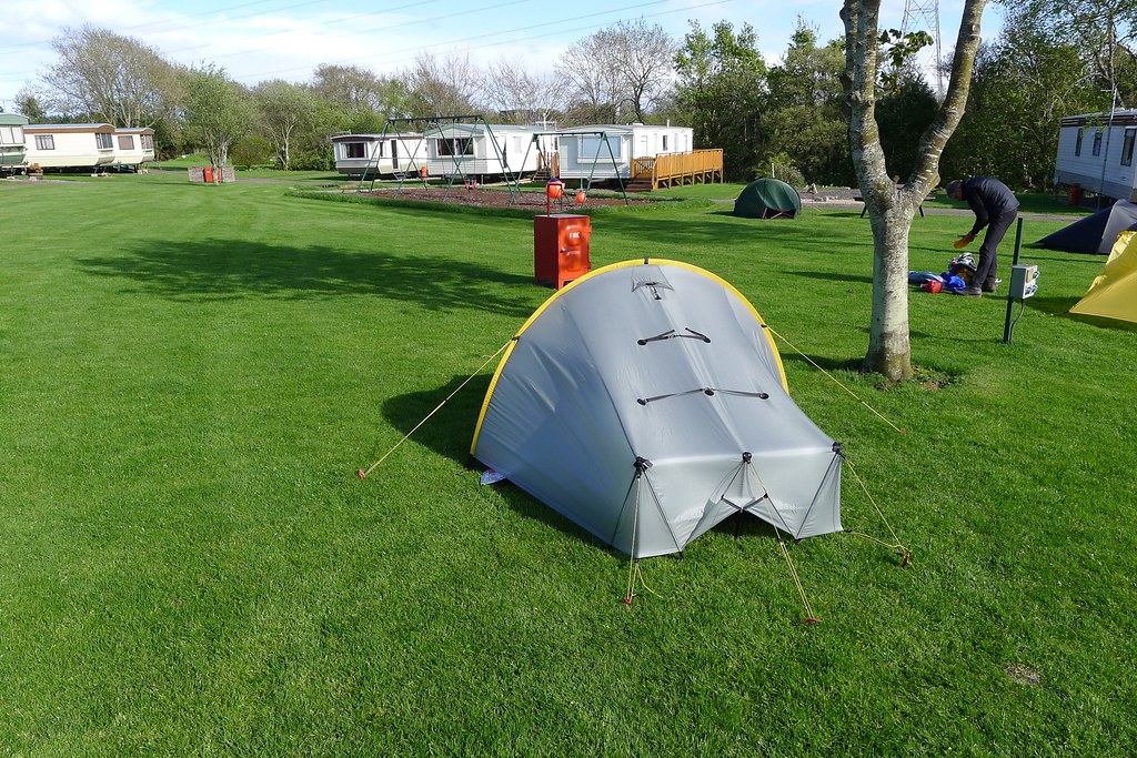
So it was that I entered the campsite. This was certainly a new experience. I’ve never been to a campsite in my life (a music festival on an island in the Danube just north of Budapest doesn’t really count) so it was all quite exciting. £6 paid, a nod in the direction of the other tents, a nod towards the toilet and shower block, and that was that. I seemed to be somewhere in the middle of the arriving pack and so had plenty of spots to choose from. The grass was beautifully green and short and very nearly level and I chose a nice spot next to a tree. The Scarp went up and with a good breeze I had all the vents open to give it a final air out before the end of the Challenge. This was all very novel, particularly after the lumpy, heathery pitch near the Hill of Cat the night before!
As I was getting sorted out the famous trio of Alan Sloman, Andrew Walker and Phil Lambert arrived. I had to put my sunglasses back on as a bright yellow Solomid and bright yellow Trailstar were pitched next to me. Later on James Boulter of Backpackingbongos found me via Twitter and we had a brief but pleasant chat.
Despite the sunshine as the evening progressed it became increasingly chilly and there was a strong wind gusting through the site. After a heavy shower around tea time it dried up and a few people ventured out for some sociability. I was feeling a bit overwhelmed by the people and the transition from hill to tarmac had made for a tiring day so I ended up in my sleeping bag quite early on where I read of few chapters of Roger Deakin’s Wildwood before drifting off to sleep.
I was now just a few easy road miles from the coast at St Cyrus and happy to be about to finish my Challenge around half a day ahead of schedule.