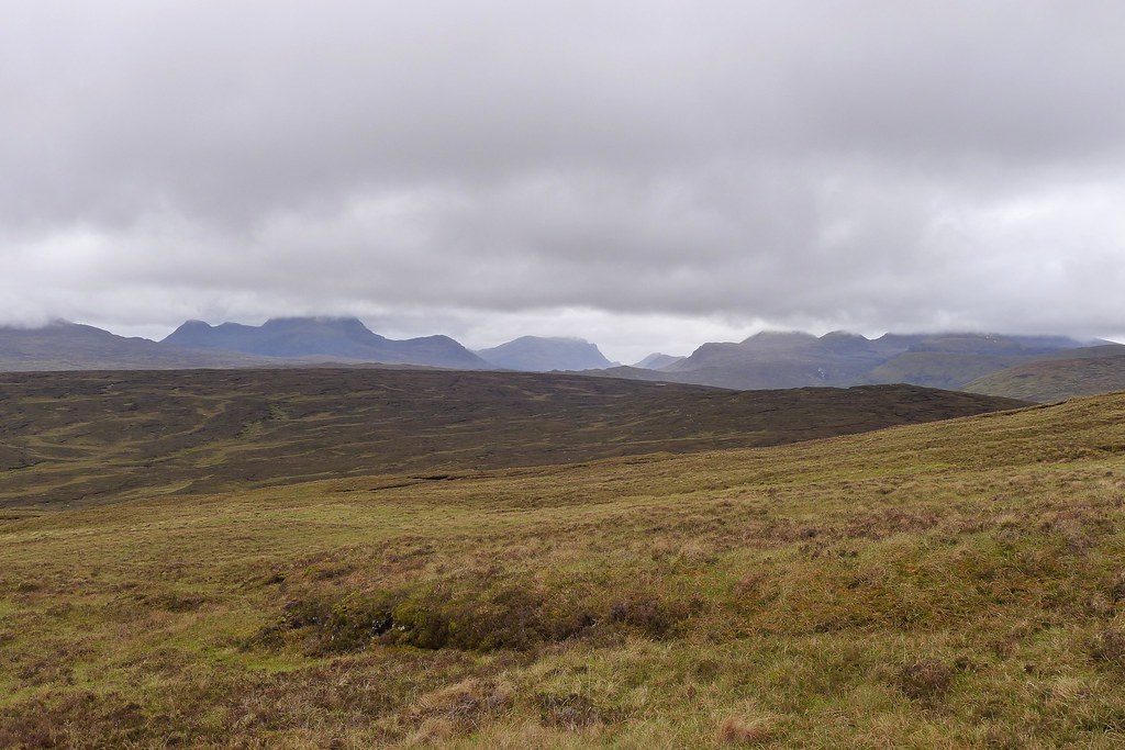
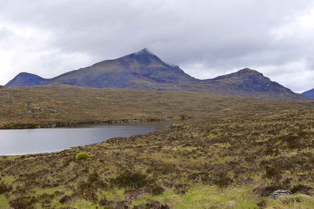
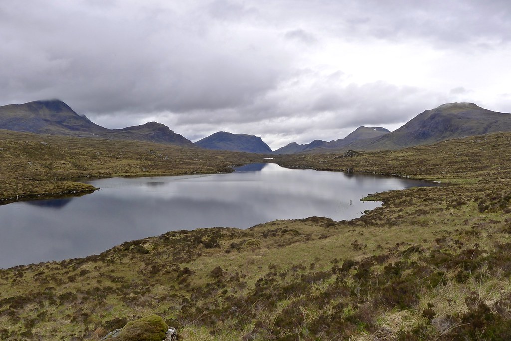
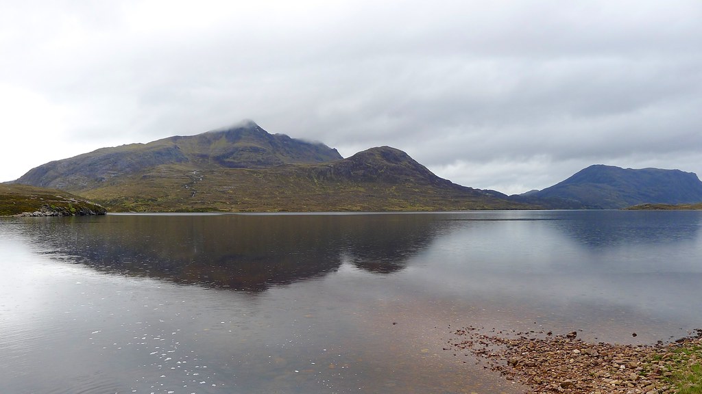
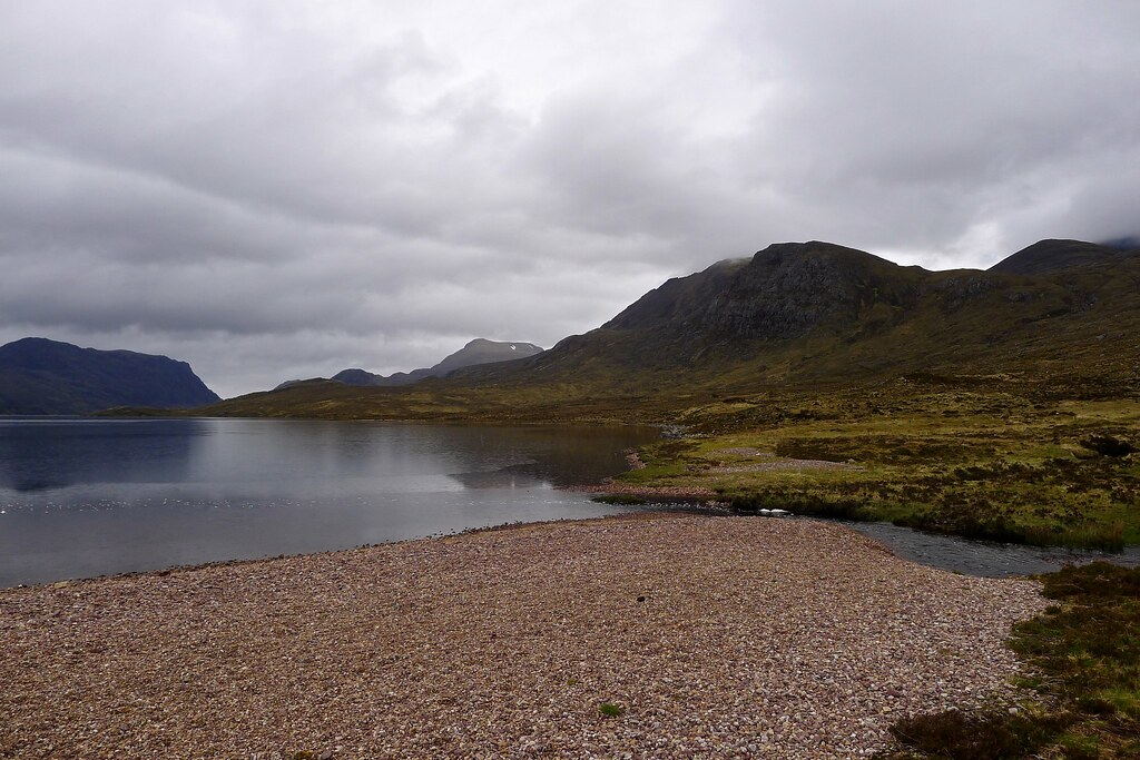
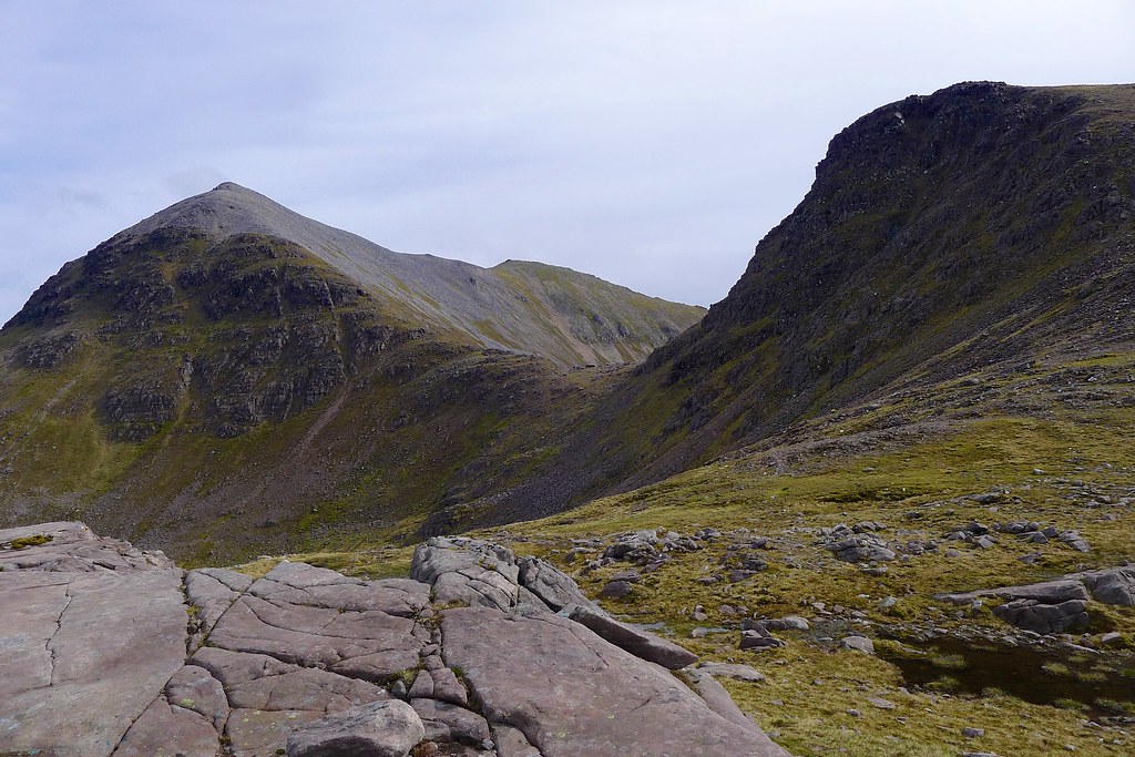
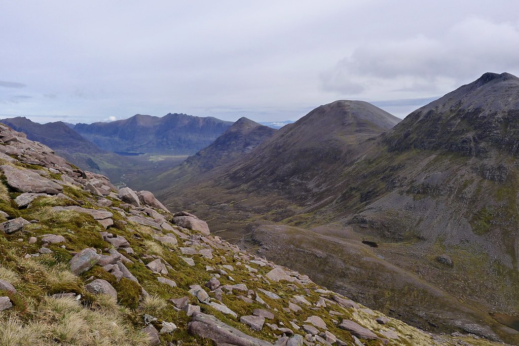
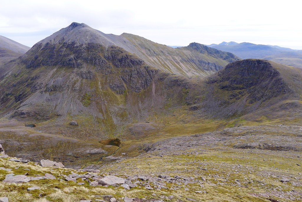
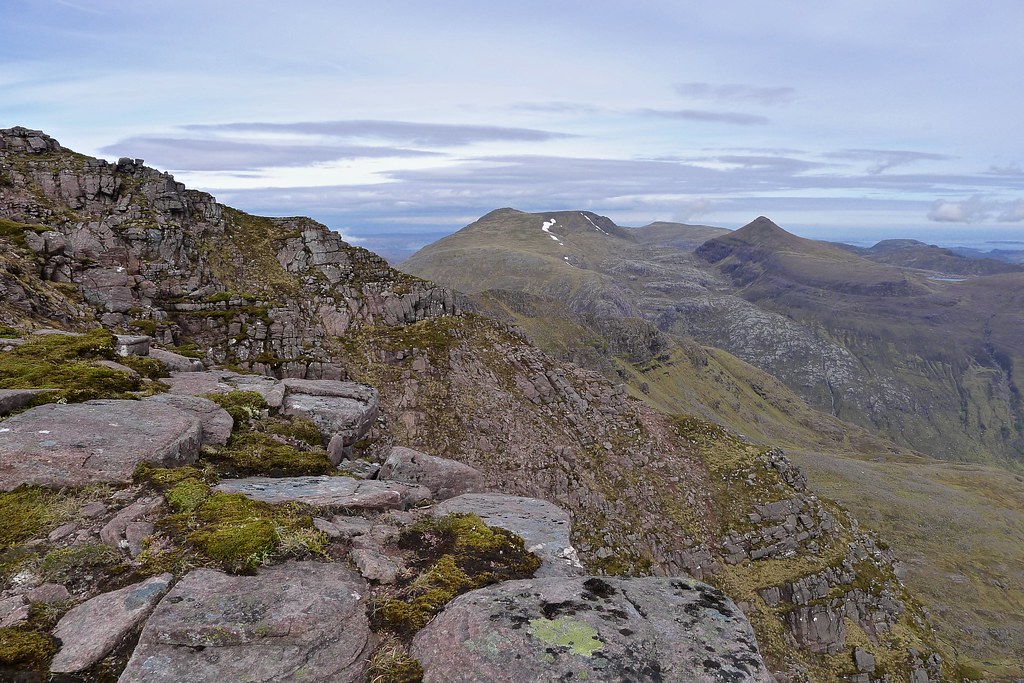
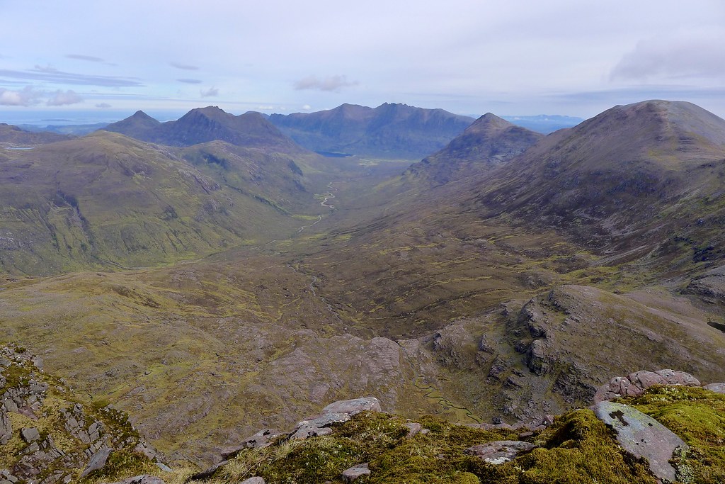
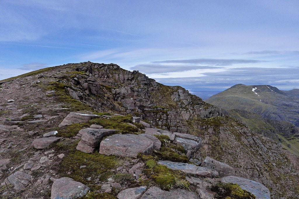
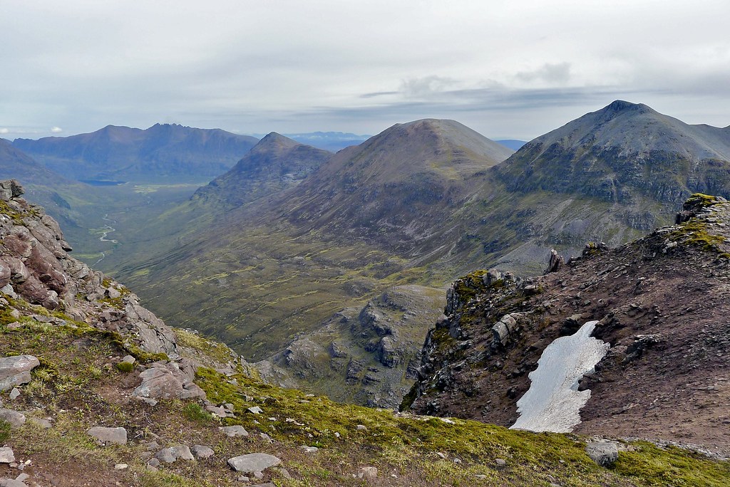
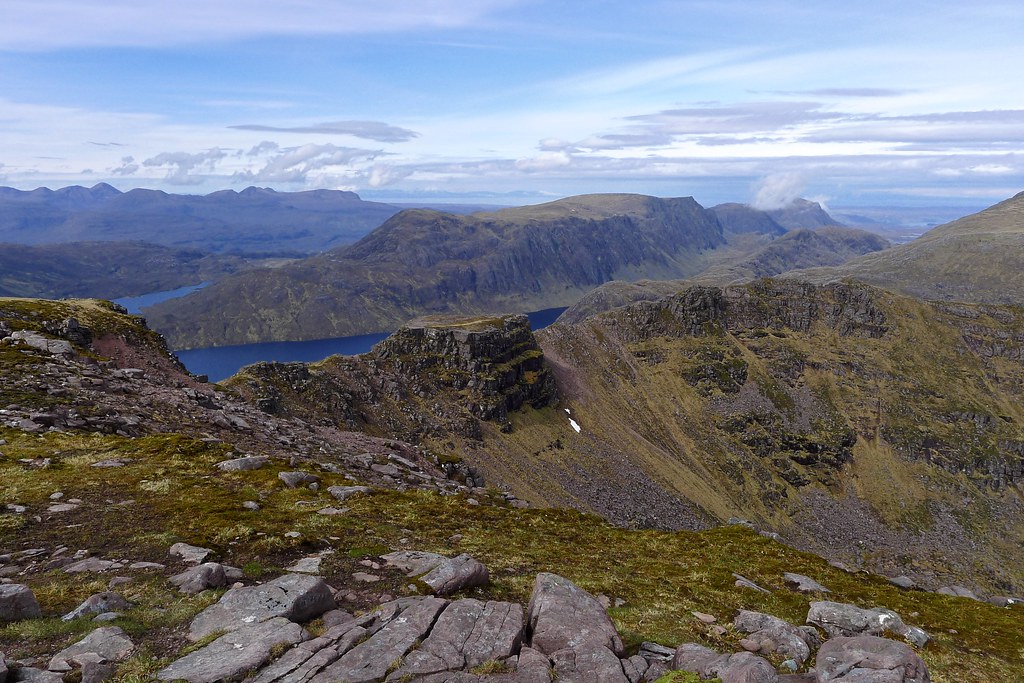
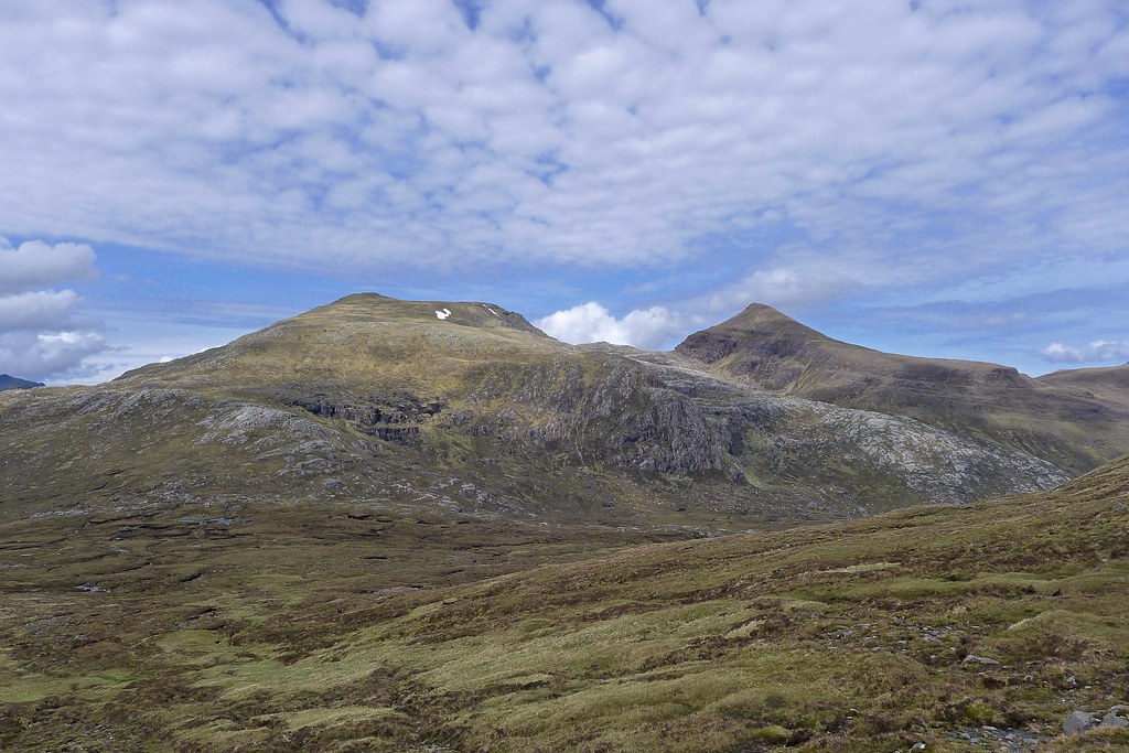
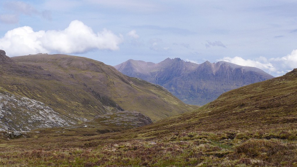
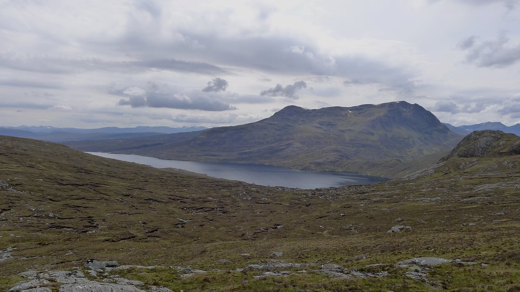
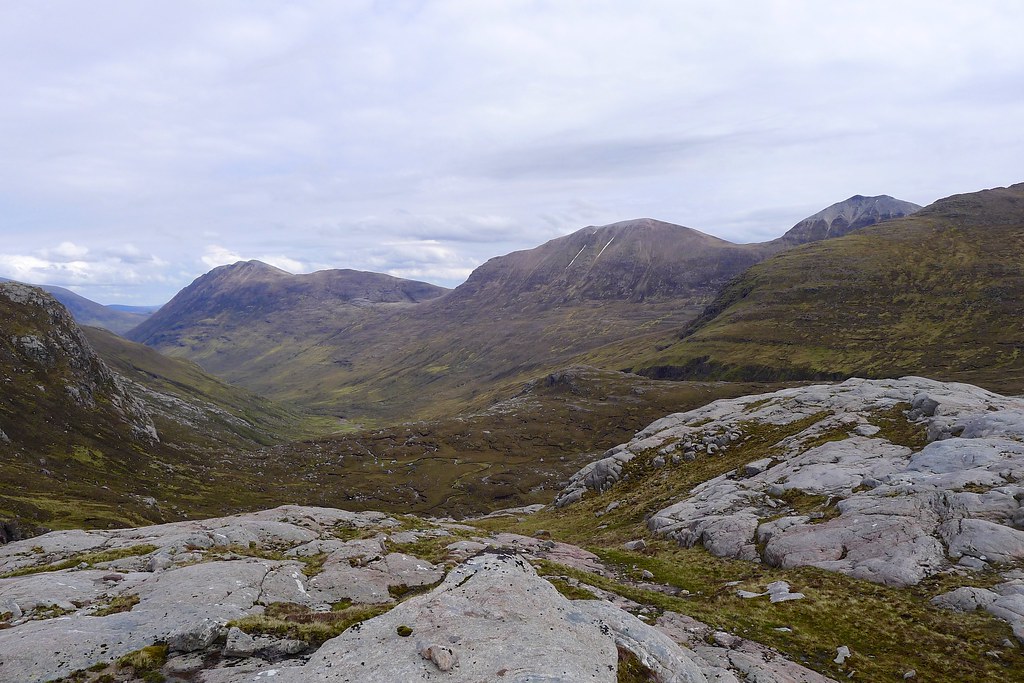
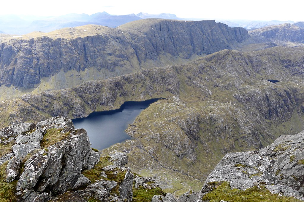
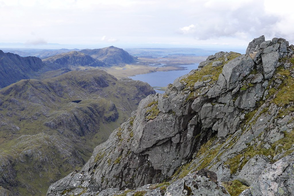
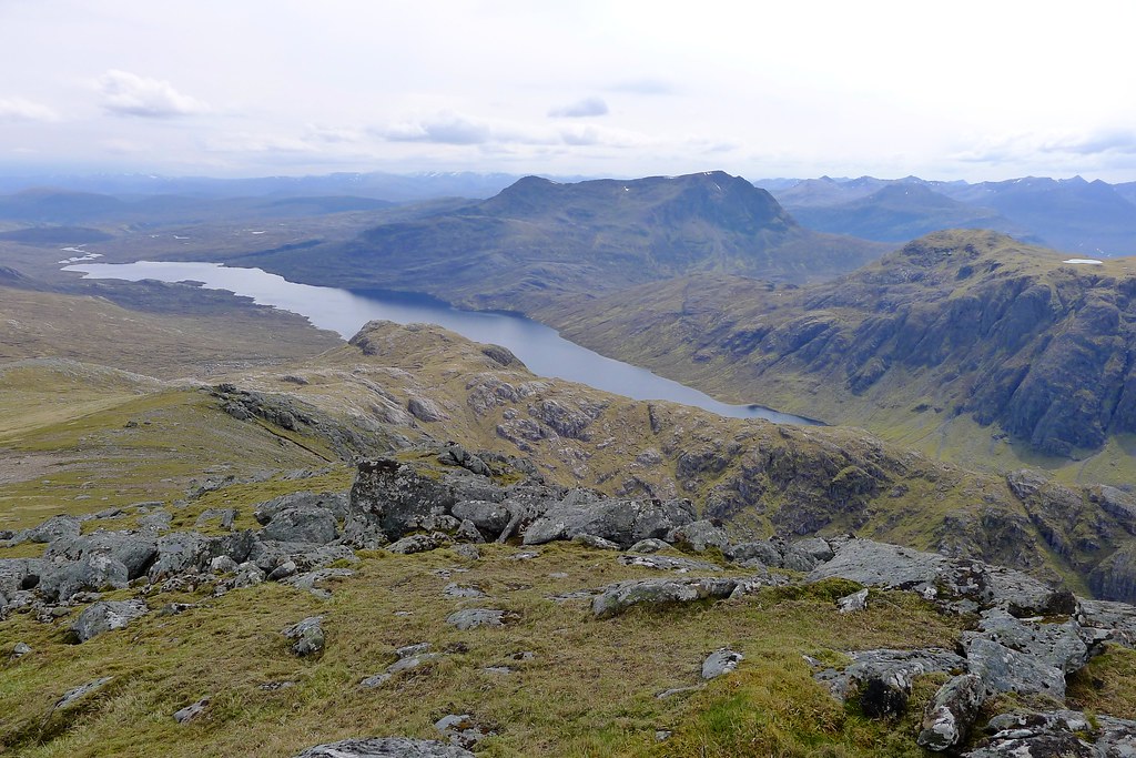
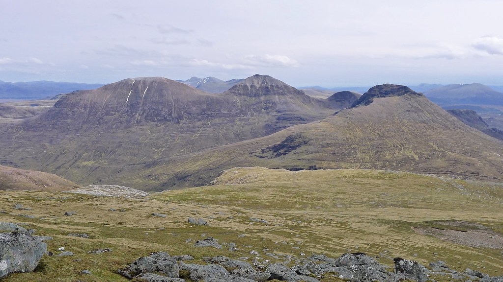
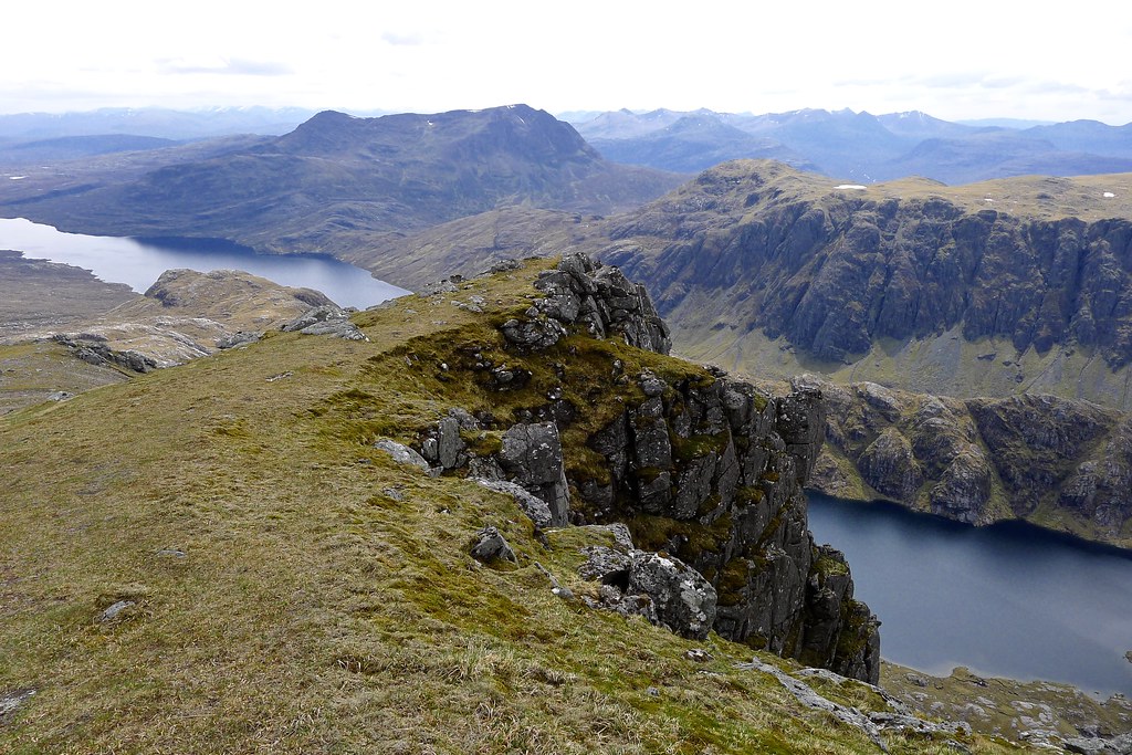
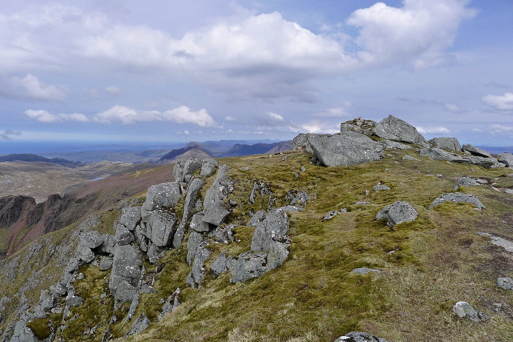
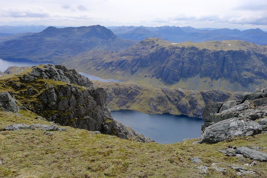
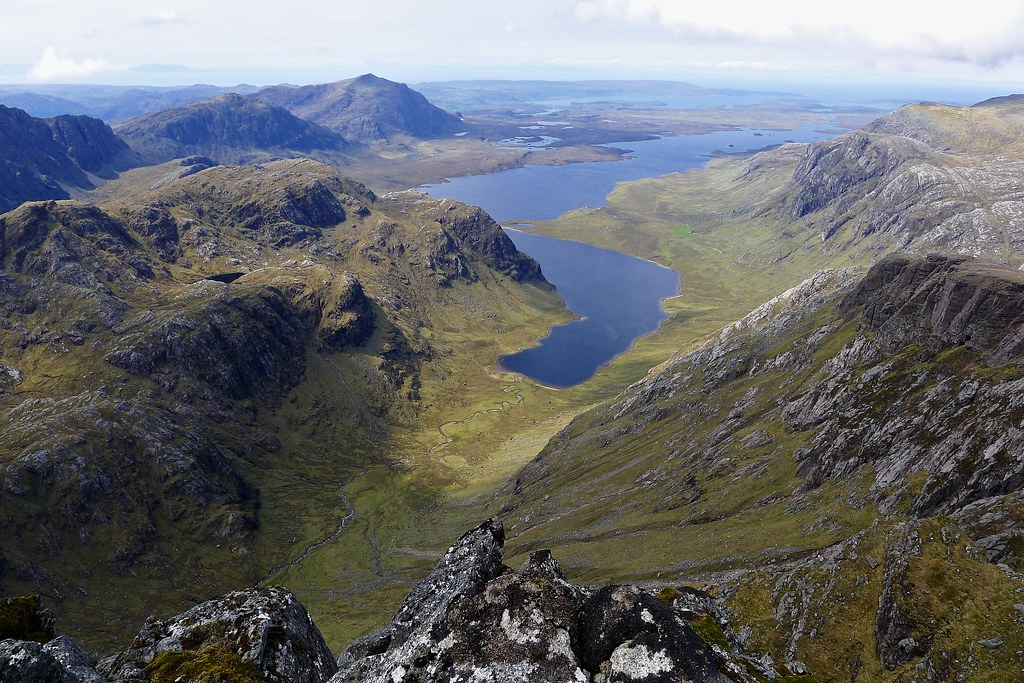
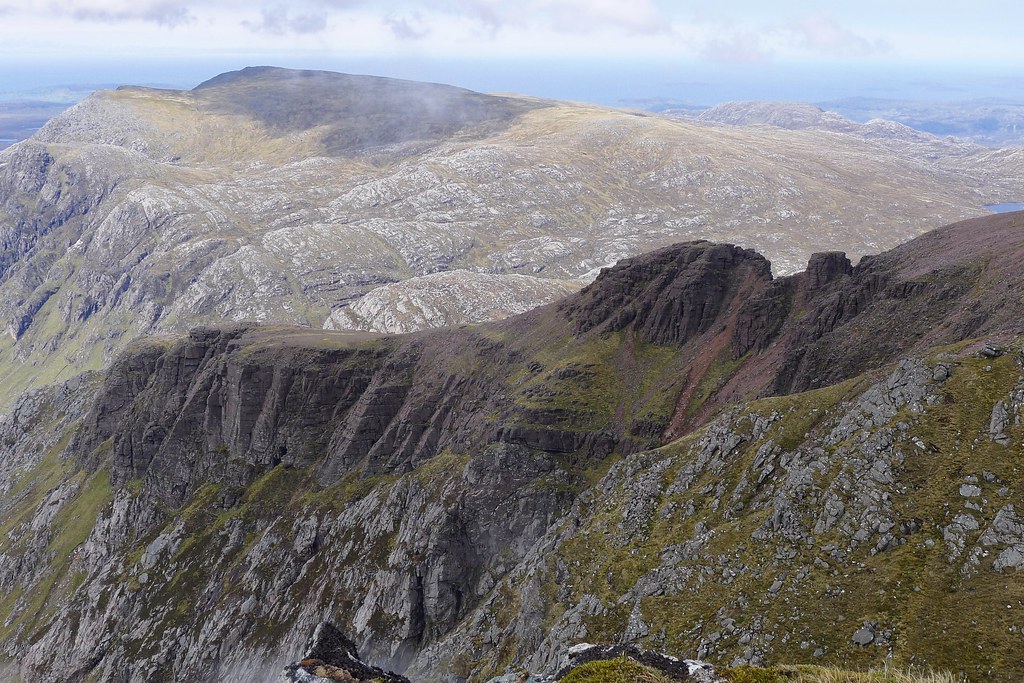
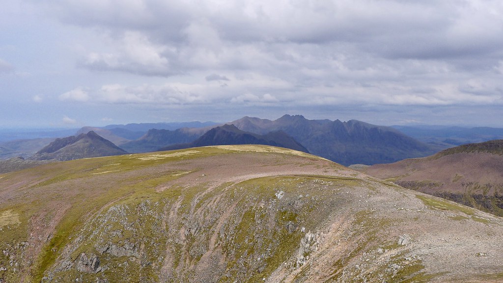
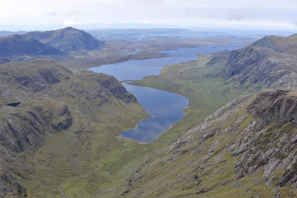
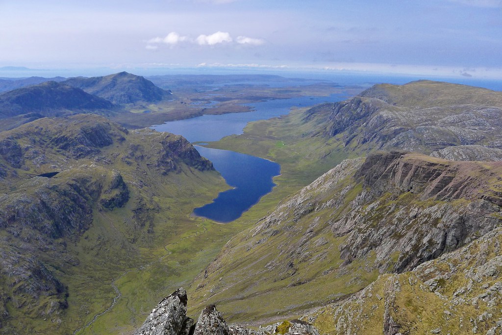
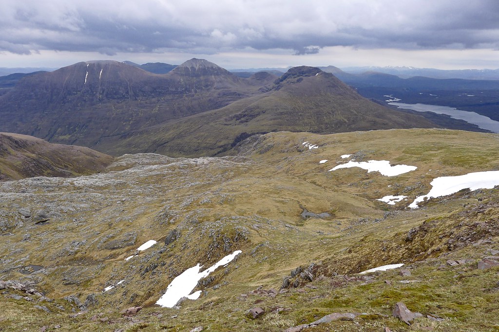
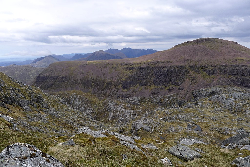
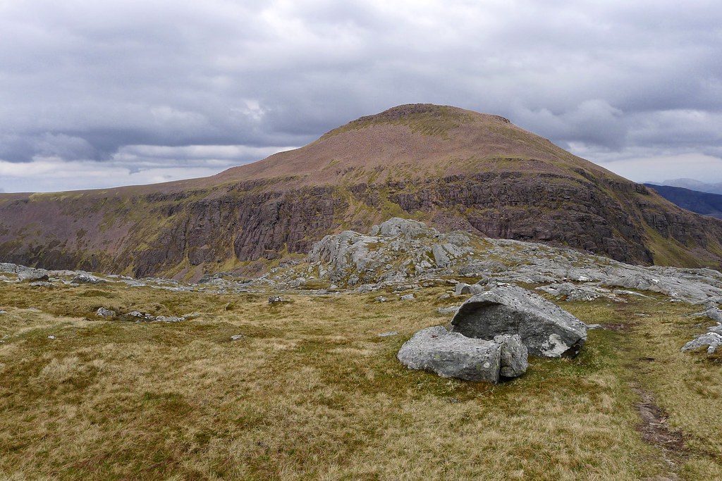
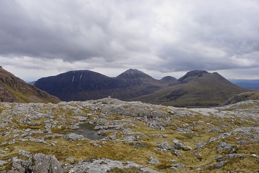
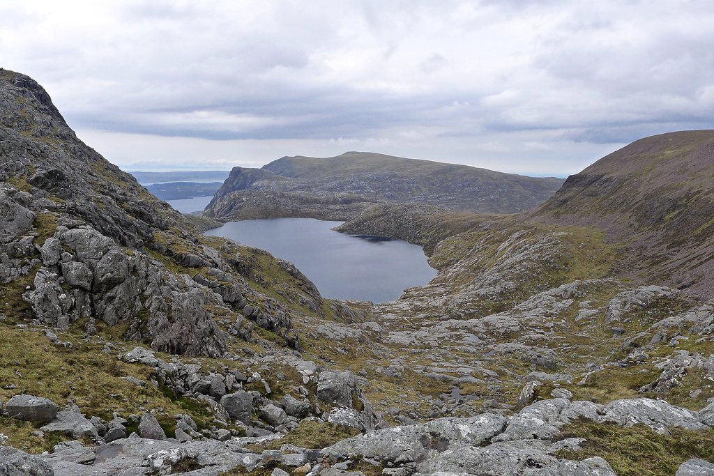
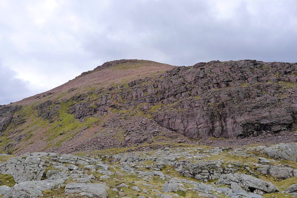
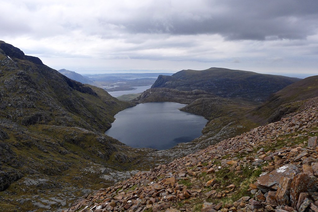
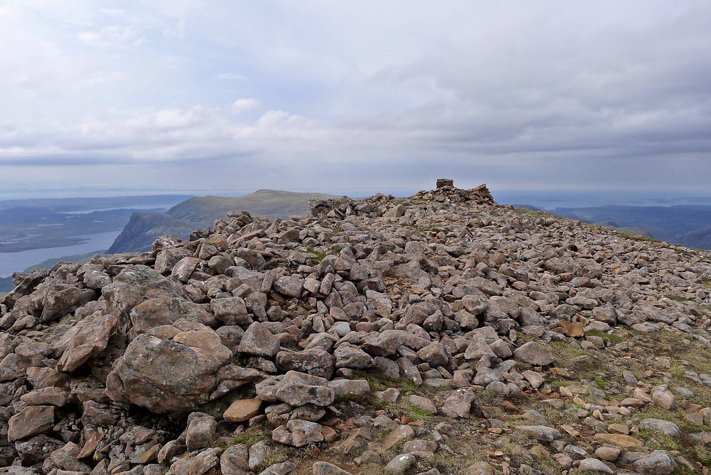
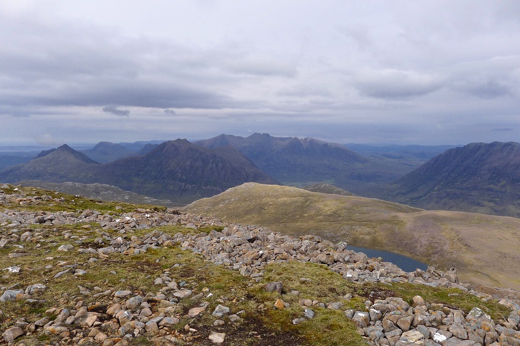
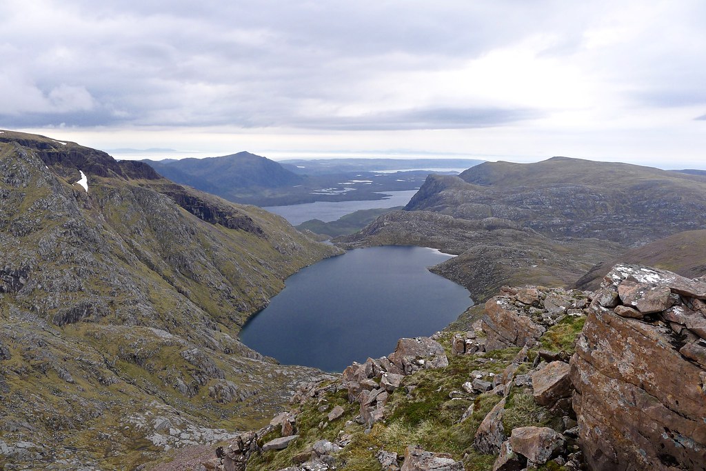
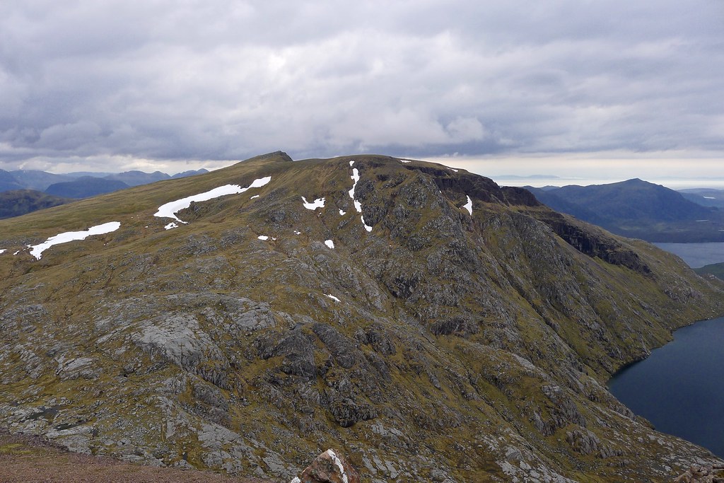
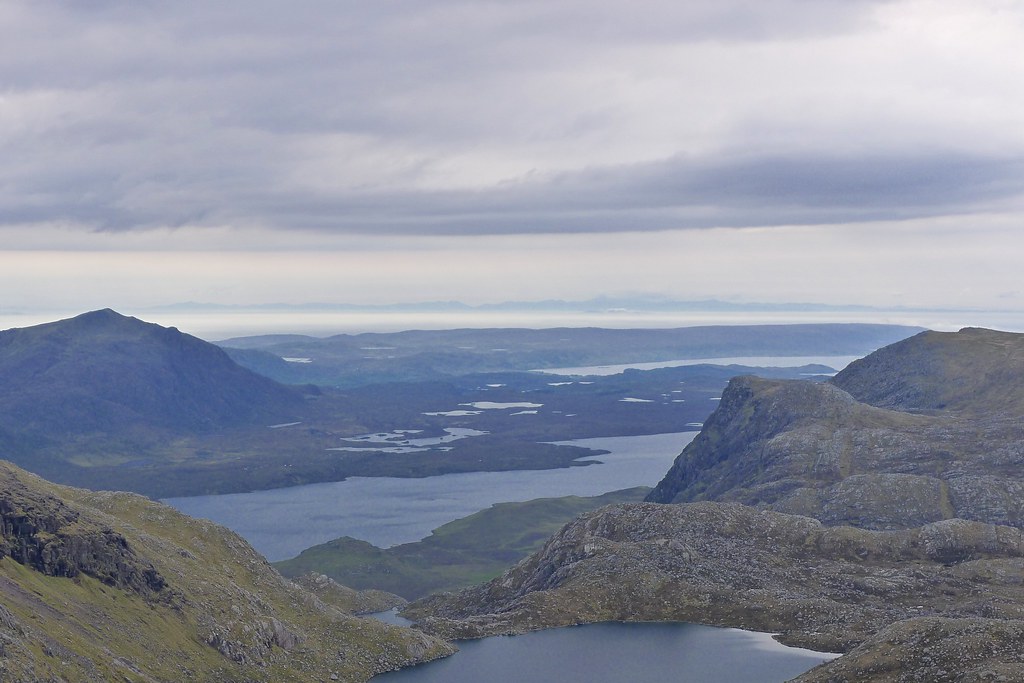
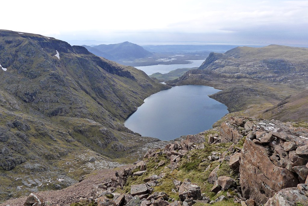
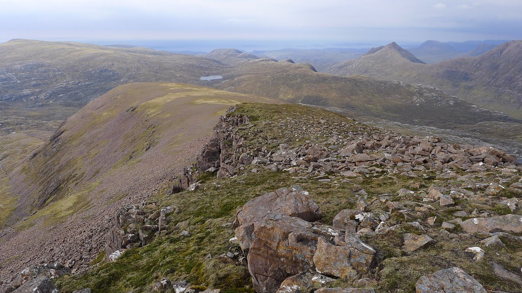
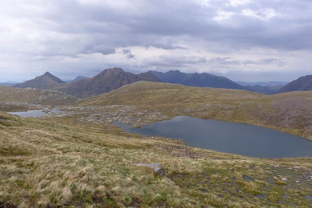
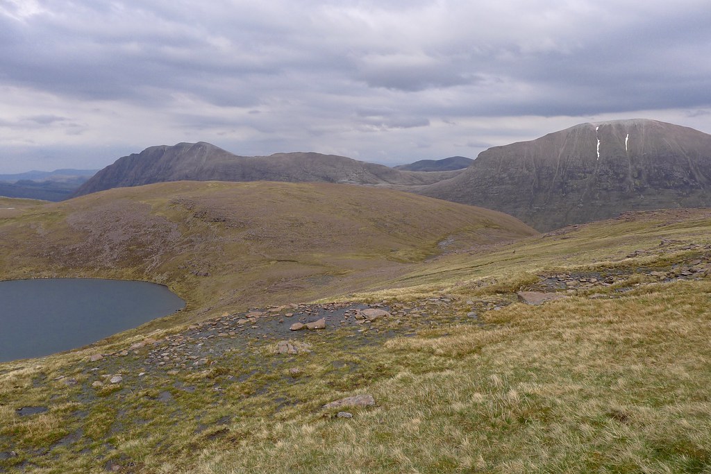
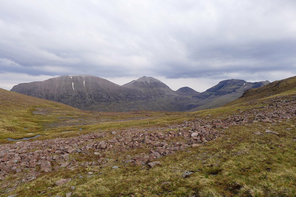
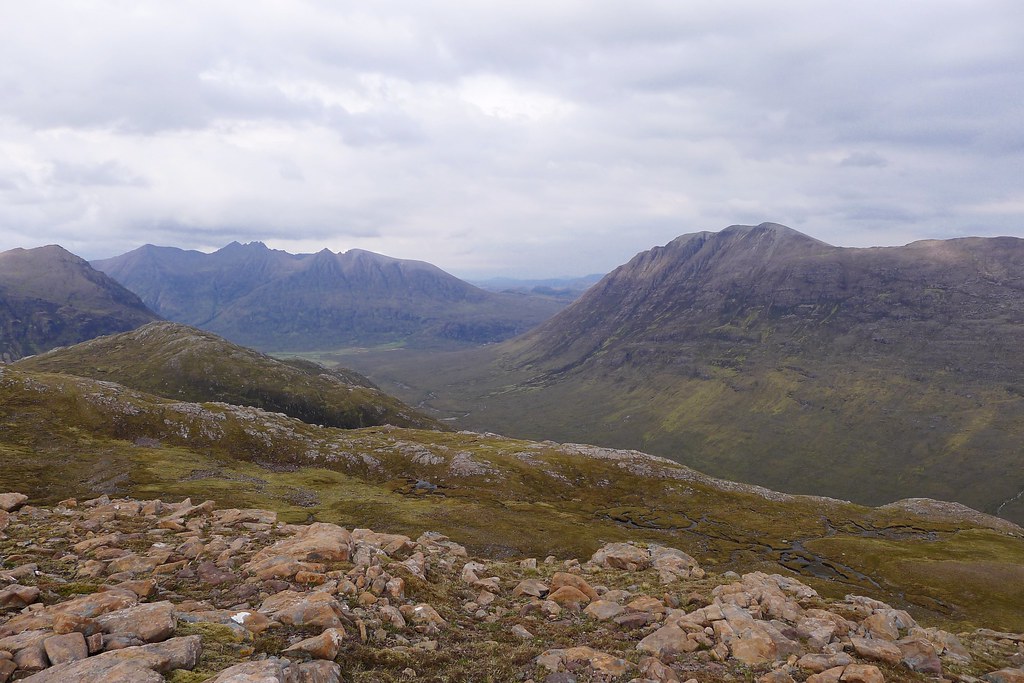
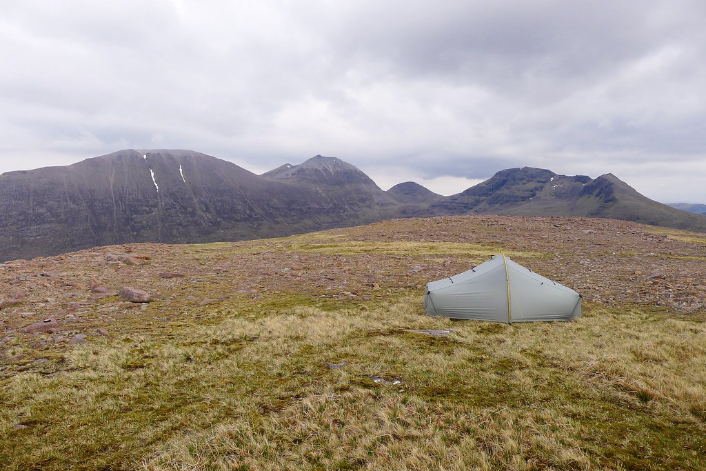
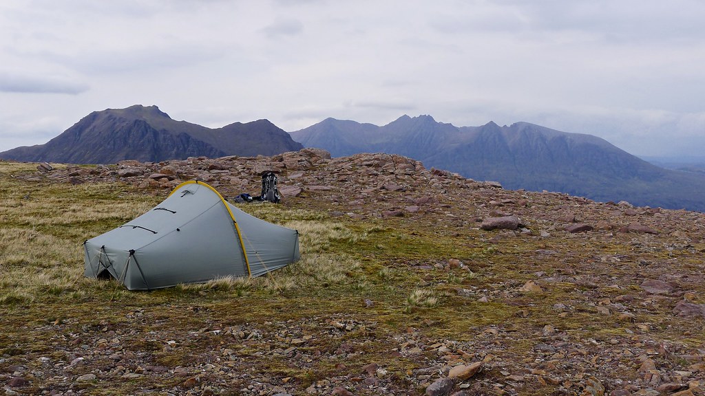
A four night backpacking trip centred around a circuit of the five Fisherfield Munros
Prologue
A couple of years ago I passed through the Great Wilderness, as the Fisherfield forest is often called, on a long day trip. It was not enough time to do the place justice by any means and for sometime now my eye has been drawn to those magical-sounding hills north of Torridon, southeast of Ullapool. Fisherfield invites the intrepid wild camper and I felt that to appreciate the mountains it wouldn't do to drive to their doorstep. Rather that I should approach on foot. And so a plan was devised using tbe Kyle railway. I would start at Achnasheen and make my way to Fisherfield by way of Fionn Bheinn and I would exit at Lochluichart, taking in some or all of the Fannaichs on my way out.
At least... that was the plan.
Saturday 17th May
Achnasheen Station to Wild Camp in Strath Chrombaill (NH 139 643)
Distance: 10.06km
Elevation: 805m
Hills: Fionn Bheinn (Munro, 933m)
Route: View on OS Maps
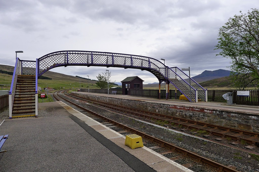
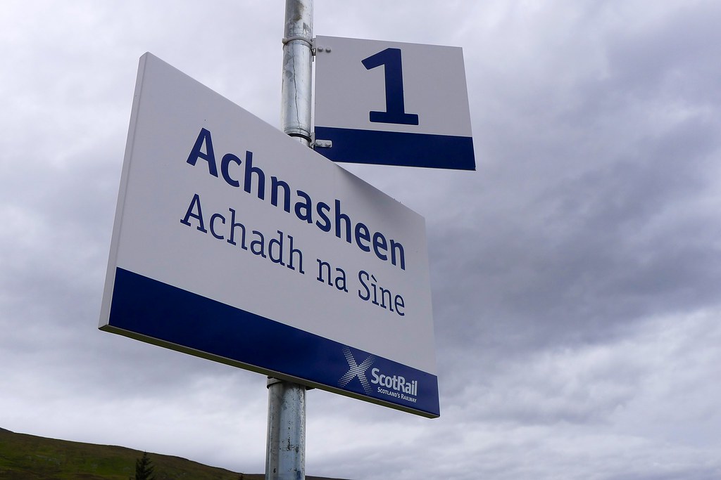
Elsewhere in Scotland scores of backpackers were marching (or perhaps limping) across the country, their sights set on the east coast and the end of the 2014 TGO Challenge. So whilst the Cairngorm tracks rang out to the sound of clicking trekking poles, I caught the train west from Aberdeen, changing at Inverness onto the Kyle line, and alighting at Achnasheen a little before midday.
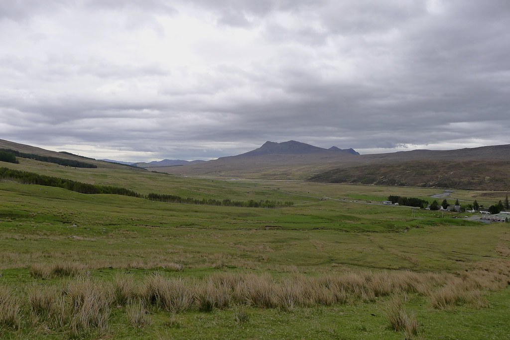
The skies were sullen grey and a chill wind blew down Strath Bran. With the Studio Cafe sadly closed I soon found myself passing through a small construction site near the water works and following the muddy track up besides the Allt Achadh na Sine. The steep but steady ascent warmed up the legs and it was good to get a feel for my pack, heavy with almost six days worth of food, but countered by the lack of winter gear and heavy boots that had blighted my attempt at the Mullardoch Munros a few weeks previous.
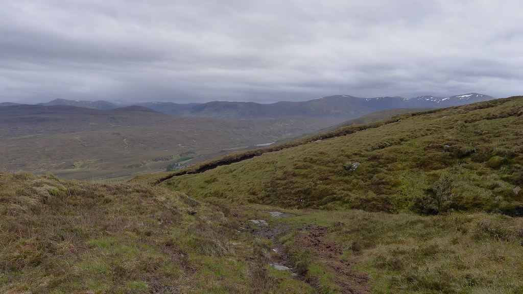
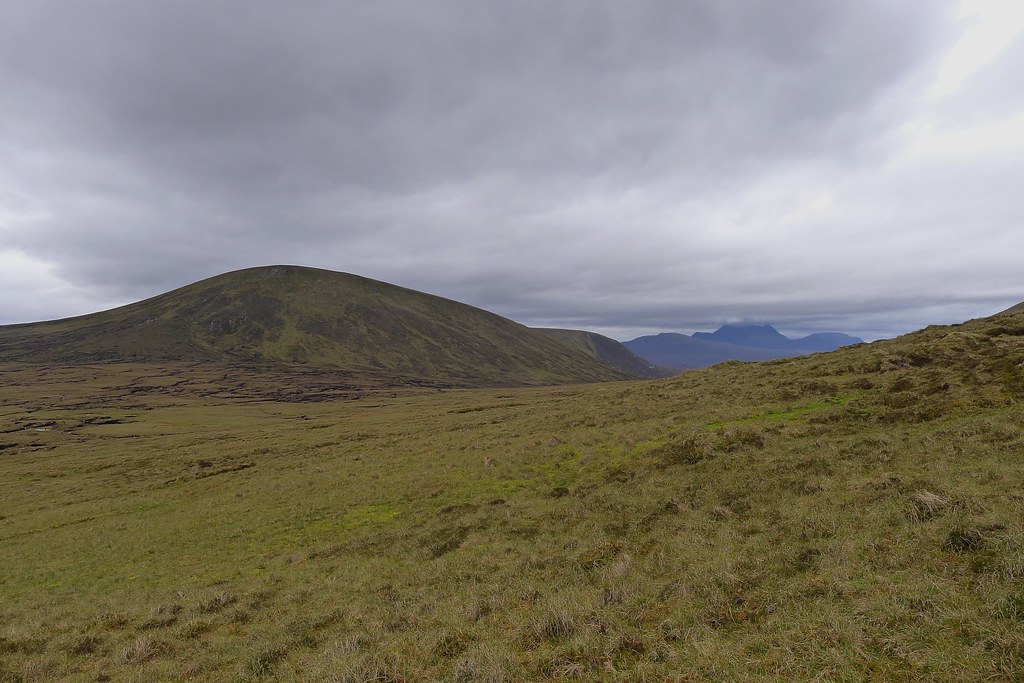
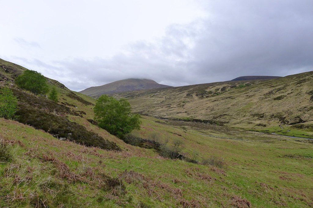
The path gains height quickly and after rising up besides a gorge and some further construction work I was at the boggy bealach to the south of Fionn Bheinn. There were views here through a gap in the hills towards the dark outline of Slioch but behind me, the Monar hills were becoming increasingly shrouded as forecast rain blew in from the west. At the subsidiary top of Creagan nan Laogh I stopped to put on waterproofs as heavy drops of rain began to fall.
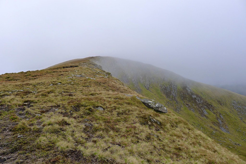
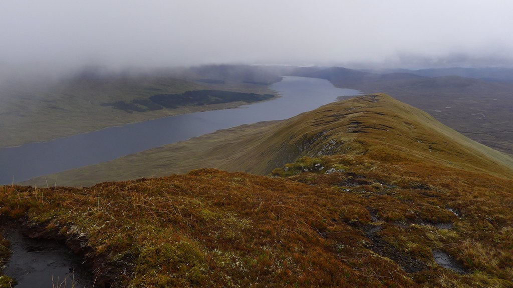
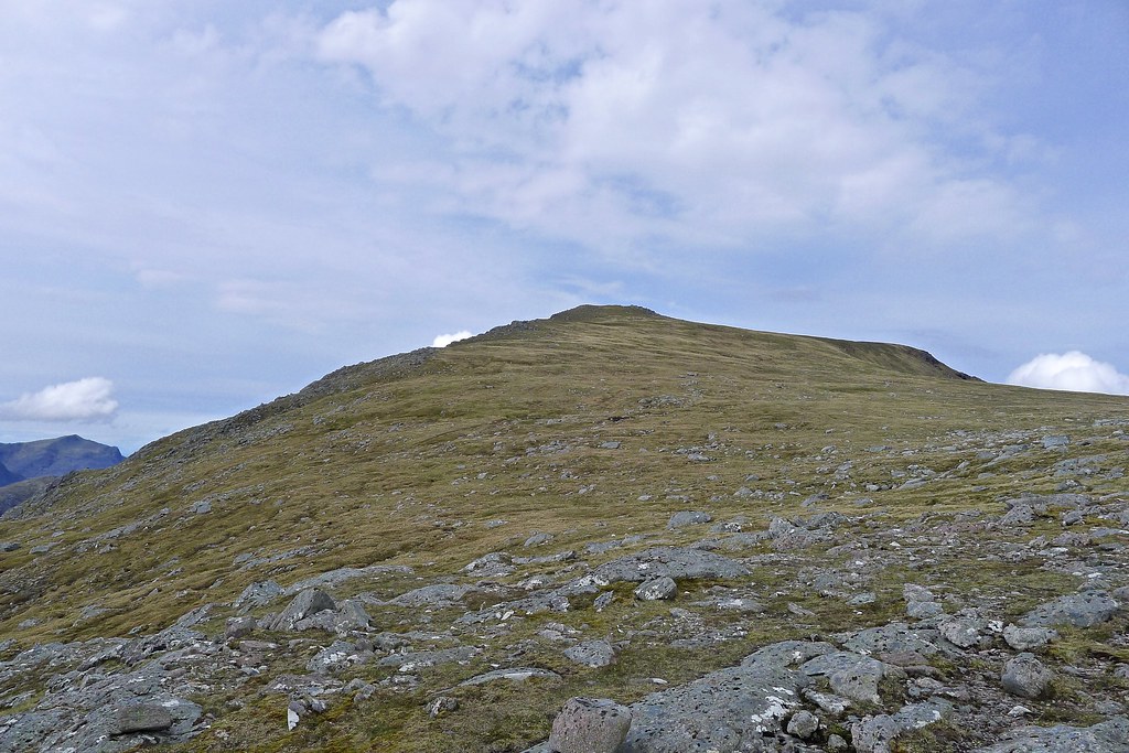
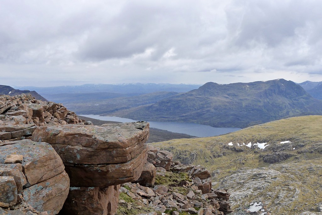
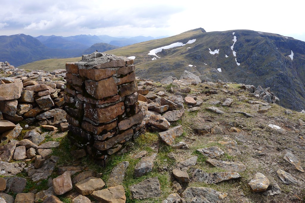
It was an easy walk up to the summit of Fionn Bheinn, first gaining the east ridge with brief views down to Loch Fannich and the hills I hoped to be traversing later in the week. A rather wet person said a brief hello and then I was curving around the rim of Toll Mor and up to the rather bleak, wet and windy summit.
In the shelter of the trig point I had a Clif bar and then considered my options. There was no forecast improvement in the weather and it seemed prudent to follow the broad west ridge down towards Strath Chrombail and find somewhere to pitch the tent. The original plan of a high camp on nearby Beinn nan Ramh was ditched in favour of a more sheltered spot in the strath separating that hill and my current position.
The rain was fairly constant and heavy but the terrain on this western side of Fionn Bheinn is easy and I made good progress down, soon reaching the large water pipe which snakes its way down to Loch Fannich. After briefly considering a barrel roll under the pipe I opted to use one of the inspection gantries to cross this obstacle. I found a newly replaced one and got across, delighted to find a nice big “danger of drowning” sign on the far side…
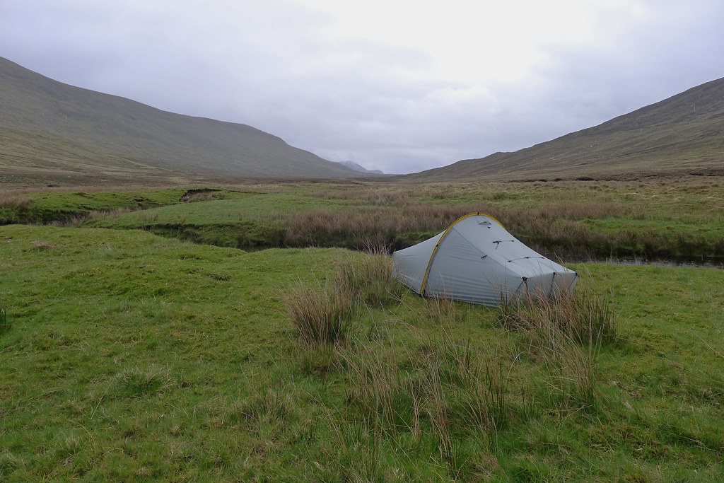
I followed the pipeline road a short way into the strath and then dropped down to the river to find a spot for the tent. There were a few raised grassy banks and I eventually found one that seemed a little off the deer trod. In blustery conditions with rain still pounding down I was glad to get the tent up and get inside, stripping off waterproofs and soon feeling much warmer.
It was only about 3pm so I settled in for a lazy afternoon and evening, having soup and oat cakes and reading on my Kindle. A tick was identified, tried for the crime of heading in the direction of my exposed ankle, and summarily executed. The rain kept up an unrelenting patter on the flysheet and for a couple of hours the wind was gusting strongly through the strath, bowing the windward side of the tent.
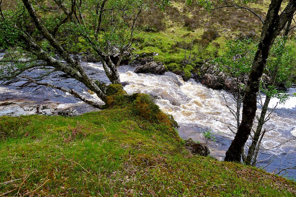
At around 7pm the wind had calmed a little. I unzipped the tent to boil water for dinner and then noticed an alarming change in my situation. I had oriented the tent into the wind such that it ran roughly lengthwise along the grassy bank. I had crossed one depression to reach the grassy bank through which had run a small stream, easy to step over mid-afternoon. Looking out now this had risen to a wide torrent more than a few feet wide and running swift and deep. Then I unzipped the door on the opposite side. The grassy bank on this side also ended in a depression which had seemed dry and grassy when I pitched the tent three hours previously. Now after four or five hours of heavy, unrelenting rain this too was a wide, swiftly flowing stream. Somewhat alarmed I pulled on my waterproofs and got out of the tent. Water was pouring off the hillside, unifying into a stream as it neared the floor of the strath and then splitting to flow around my peninsula. I was marooned on an island with deep flowing water on all four sides! The river itself was much higher than earlier, flowing dark and chocolaty. Besides all that my end of the recently recategorised island was rapidly turning into a puddle and my groundsheet was starting to pass water at pressure points.
Amidst the rain I relocated the tent to higher ground and got back inside, slightly perturbed by this turn of events. There was nothing I could do for the moment. It appeared that the water wouldn’t be able to rise much further and the rain had slackened in the last hour or so. My hope was that the flow would ease eventually. If not it would be an interesting wade to escape my new island! Returning to the tent I cooked up dinner and had a hot chocolate. With the light fading around 9:30pm and the rain still on I settled down to sleep, wondering what the morning would reveal.
Sunday 18th May
Wild Camp in Strath Chrombaill to Wild Camp by Lochan Fada (NH 047 695)
Distance: 26.14km (Cumulative: 36.2km)
Elevation: 883m (Cumulative: 1,688m)
Hills: Beinn nan Ramh (Graham, 711m)
By Sunday morning the rain had eased and it was just a gentle pitter-patter on the fly of the tent that lulled me slowly into wakefulness. I unzipped the tent and was hugely relieved to find my peninsula’s status had been restored! The former divergent stream to the west was now just a trickle and to the east and south it was boggy grasses once more. The sky was still a dirty grey, low clouds shrouded the surrounding hills and it was damp and chilly.
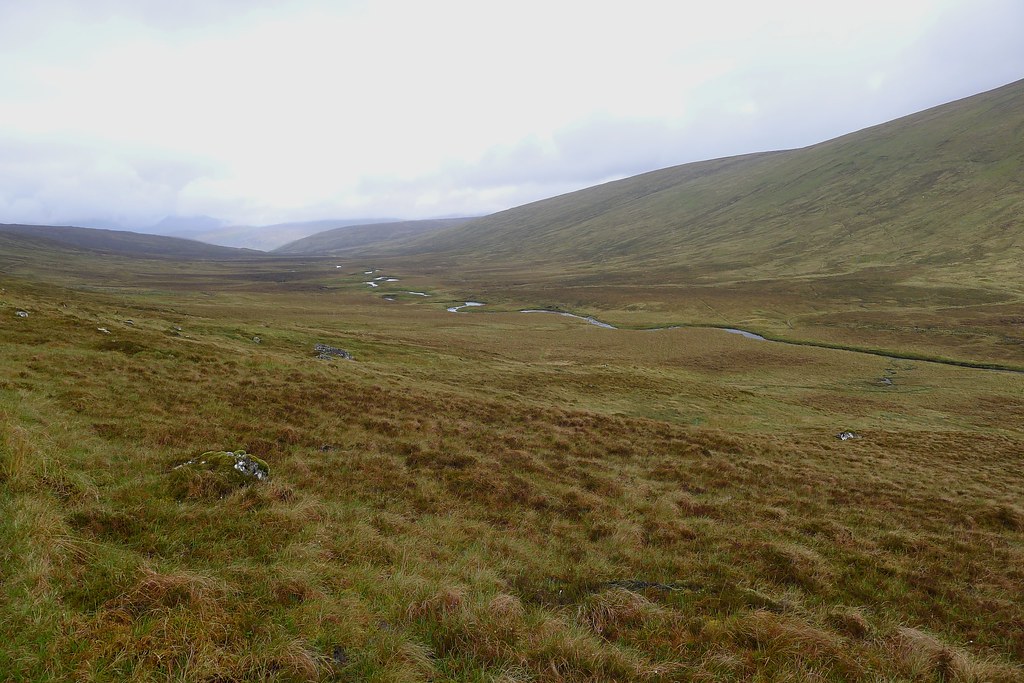
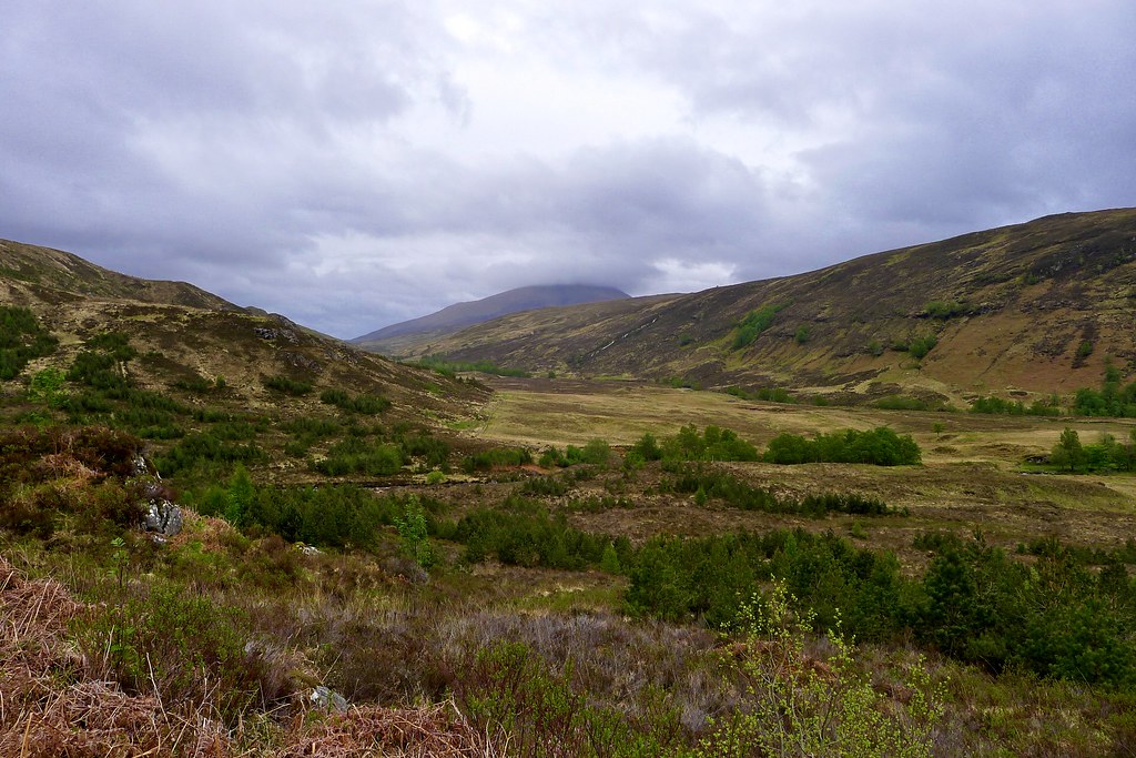
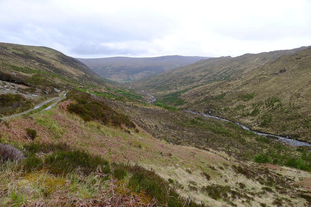
I enjoyed a lazy breakfast, feeling somewhat reluctant to get back into damp waterproofs, before getting packed up and off by about 9:30am. I picked my way off my peninsula and up through sodden ground to reach a path which runs parallel with the pipe access road further up the slope. I followed this east down Strath Chrombaill, the rain a constant low level nuisance but the walking easy, especially once I met the pipeline road, which descended gently in a series of straight runs down to the marshy watershed above Loch Fannich.
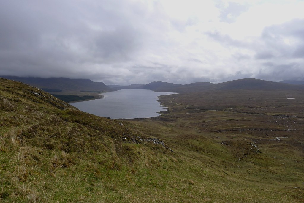
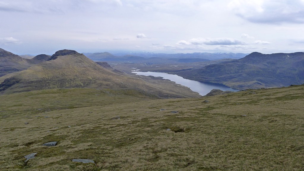
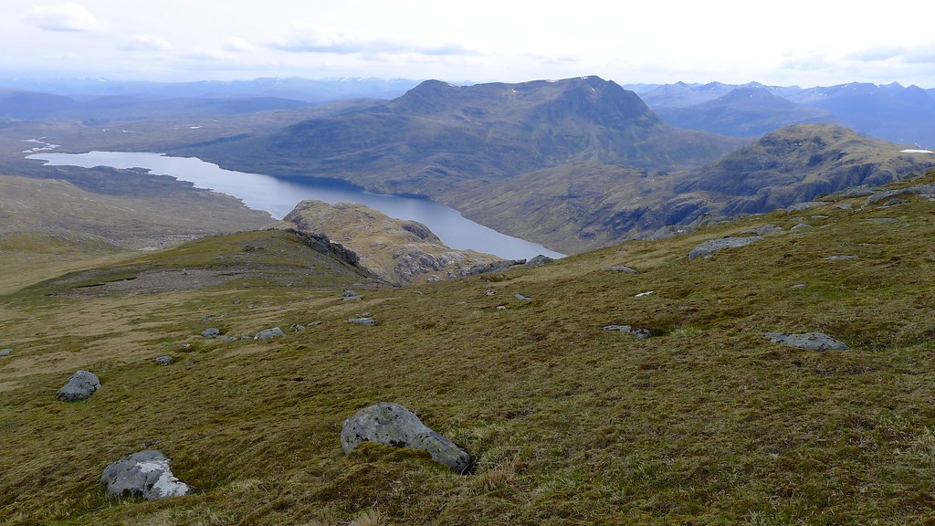
The lower slopes of the eastern end of Beinn nan Ramh were accessed by a short slog through the bog and then (after a brief backtrack to retrieve a wayward camera bag) it was a case of winding my way up on steep grass between craggy outcroppings to reach the northeast ridge. The cloud had slowly lifted during the morning and I enjoyed the views down Loch Fannich as I stopped for a breather.
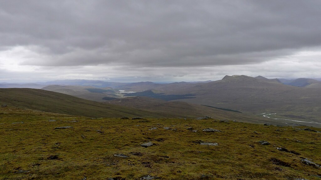
After negotiating the steep nose of Beinn nan Ramh the gradient eased and the only impediment to reaching the broad summit plateau was the plethora of peat hags and bog that littered the eastern side of the hill. The cloud blew in and out with occasional clearings and I got glimpses back down into Strath Chrombaill and away north into the mysterious Nest of Fannich, the higher hills still shrouded in cloud.
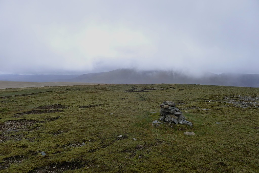
The summit was a dreary place in the mist, the top marked by a fairly pathetic pile of stones. It was about time for lunch though so I enjoyed a pepperami, oatcakes and cheese whilst wondering if the cloud would lift. It did slightly and there were improved views to more distant hills.
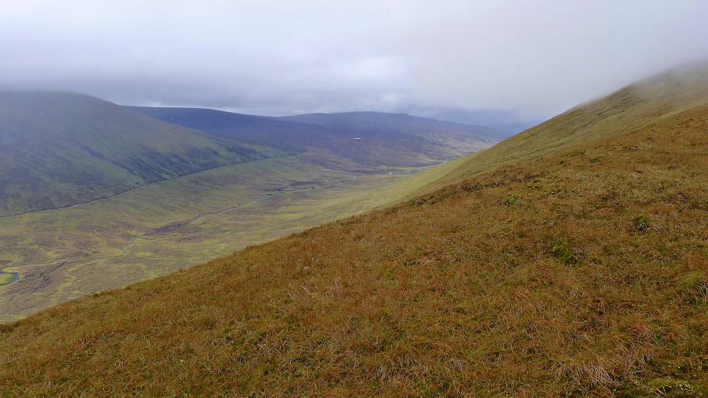
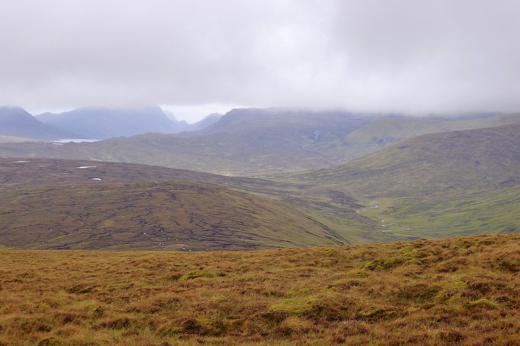
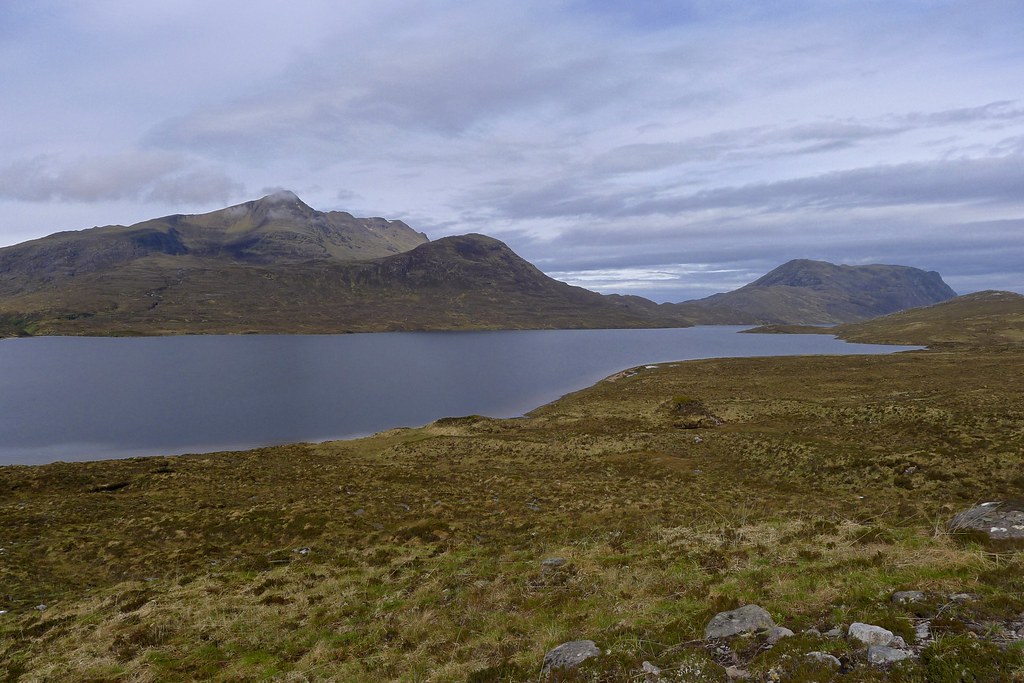
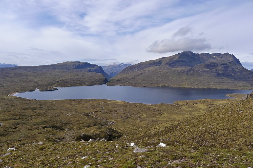
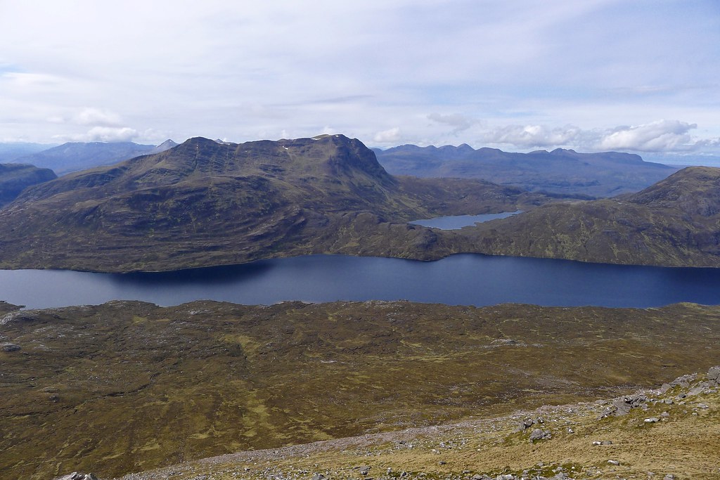
After almost 24 hours of rain and low cloud the weather now steadily improved and as I descended the gentle western slopes of Beinn nan Ramh I started to get a much better sense of my location in the world. To the west a panorama of hills began to emerge from Torridon in the south, by Slioch and then to the Fisherfield hills, the jagged gap between Beinn Lair and A’ Mhaighdean where Lochan Fada sits a toothed notch under the cloud.
After the dry slopes of Beinn nan Ramh the boggy ground around the Allt na Slataich was a bit of a chore to cross and the grain of the land kept conspiring to push me away from the line of the path marked on the 50k map.
Eventually though it hove into view and proved a delightful and well maintained track, making its way down into Strath Chrombaill at the deserted farmstead of Leckie. There were now views back up to Fionn Bheinn and as I dropped into the glen the day warmed noticeably.
A landrover track runs down through the widening strath which becomes rather more tame and civilized as you approach the cluster of buildings at the Heights of Kinlochewe. After a pleasant afternoon break by the Abhainn Srath Chrombaill I passed through here and veered sharply right, climbing northwestward to cover the final stretch to the edge of Fisherfield.
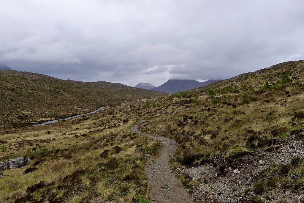
A track rose pleasantly through lower Gleann na Muice where there has been extensive planting. Beyond a branch (strangely mismarked by the Scottish Rights of Way Society) it turns into a delightful narrow path that winds its way up to the watershed where a sudden panorama of Fisherfield is revealed.
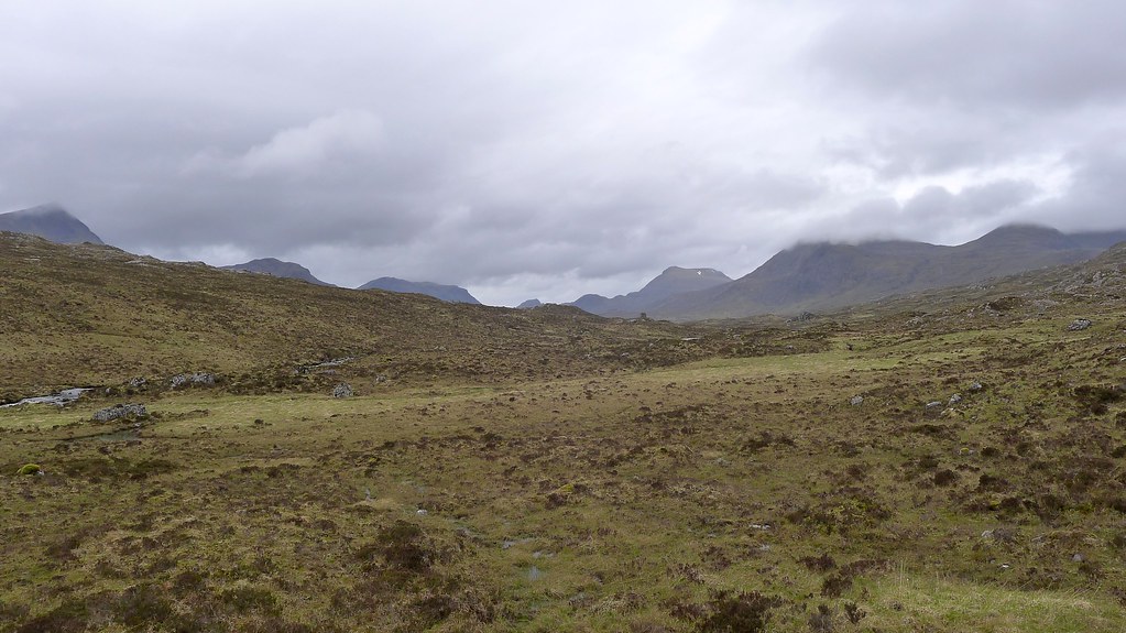
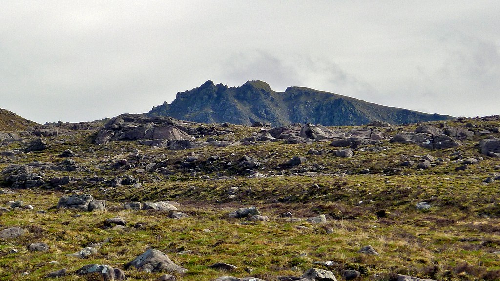
Though the nearer hills like Mullach Coire Mhic Fhearchair were shrouded in cloud, A’ Mhaighdean stood clear and proud further off and Slioch’s eastern tops were increasingly visible as mist unwound itself from the spires and buttresses.
At the path’s high point I enjoyed a final afternoon snack break, gazing off into this high wild land that contains some of the most remote Munros in the country. There was little more than a cooling breeze and although a little light rain came and went it was almost perfect walking conditions.
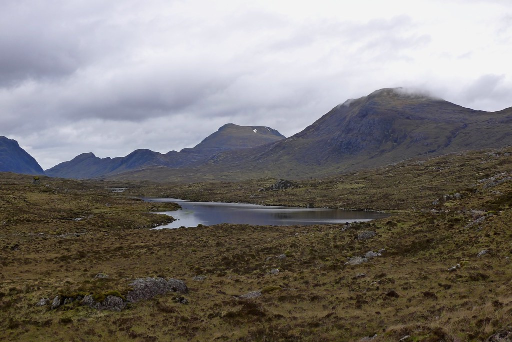
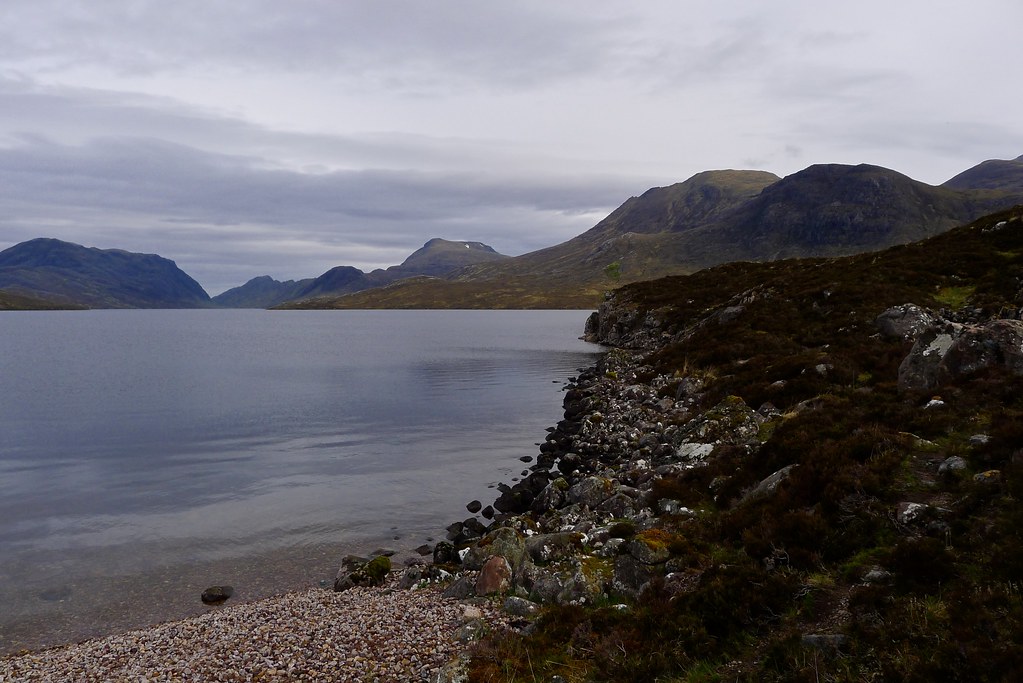
I wound my way down past the triple lochs to the shingle beach at the eastern end of Lochan Fada. There was a good spot here for camping but I’d eyed up an alternative when I passed through on a traverse of the Wilderness from Corrie Hallie to Kinlochewe in 2012.
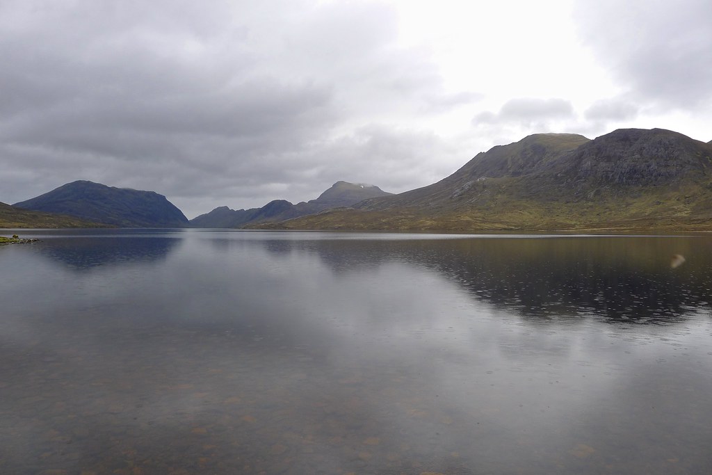
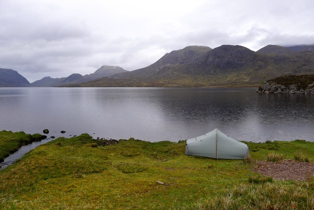
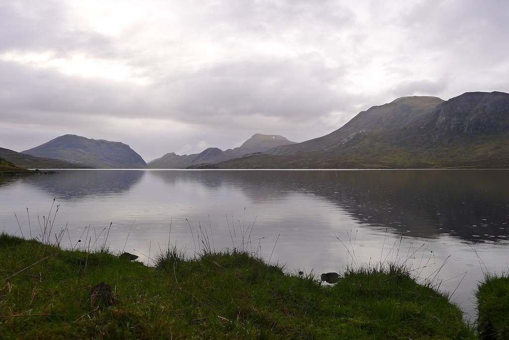
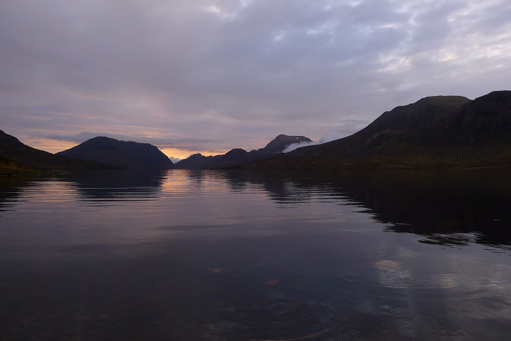
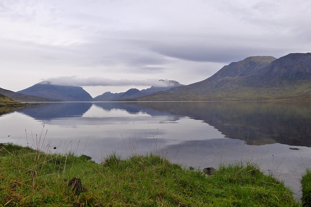
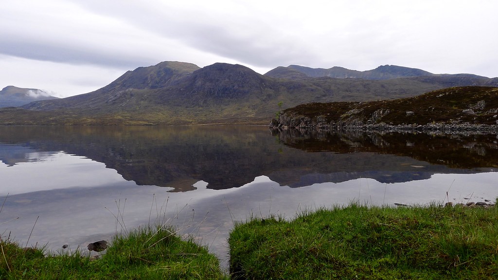
So over the inflow and around the next headland I took myself, passing a little moored boat at the end of a reedy inlet, and then I was at the next little bay with stunning views all the way down Lochan Fada. The rain came on a little stronger at this point so I quickly chose my spot and got the tent up.
With barely a breath of wind I used a trekking pole to turn the loch-side door into a small awning allowing me to keep the views whilst also making sure things stayed dry. In this fashion I whiled away the early evening having soup and then dinner and alternating between my book and simply gazing out at this most remarkable of views. A pair of birds (perhaps Plover or Sandpipers) provided entertainment as they looped and whirled around the bay.
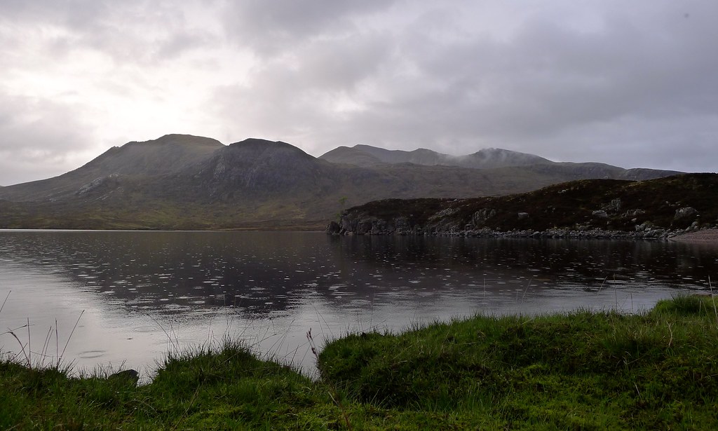
During the course of the evening the cloud thinned. A light rain continued but by 9pm it was almost imperceptible, the miniature rings on the lochan the only telltale sign. I got out of the tent to stretch the legs and wander about the bay. There were a few midgies around courtesy of the almost completely still air but a few dabs of Smidge seemed to keep them at bay.
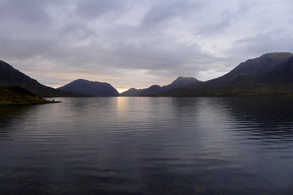
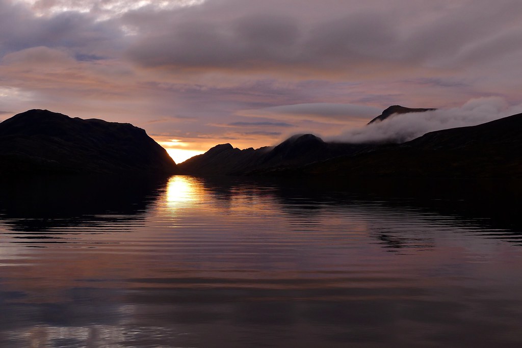
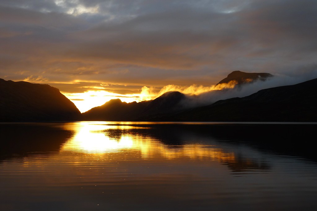
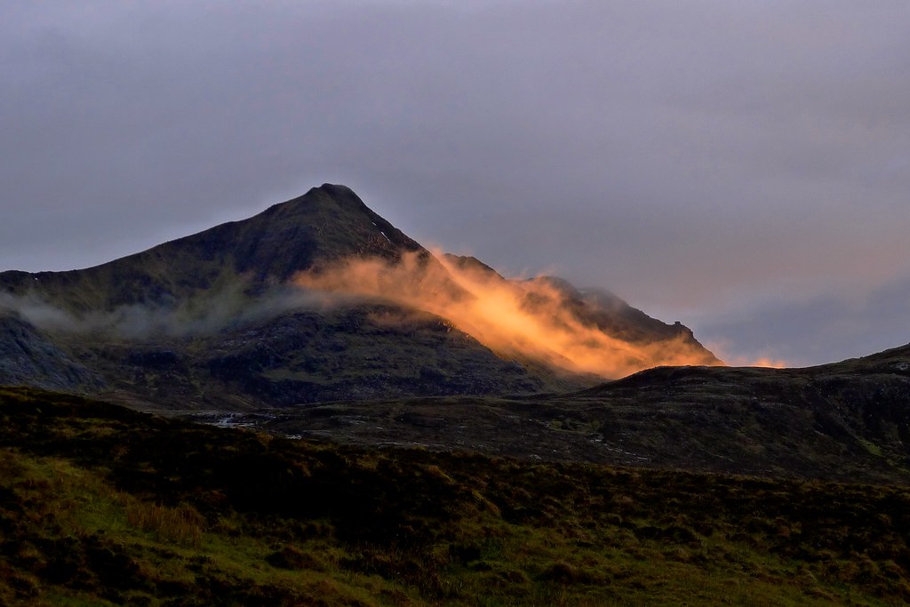
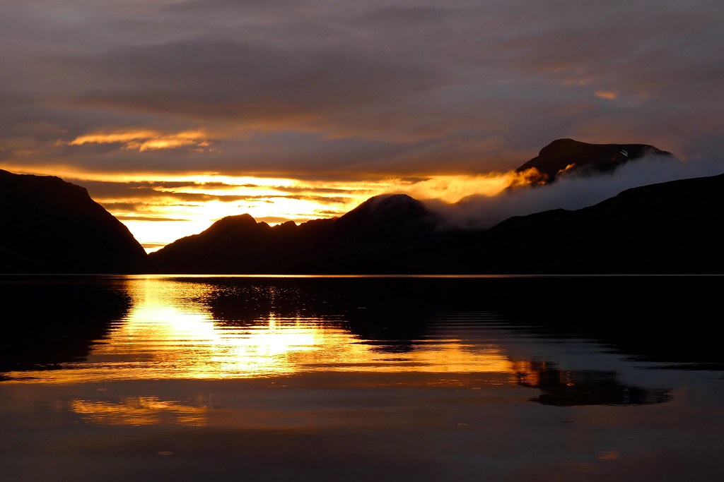
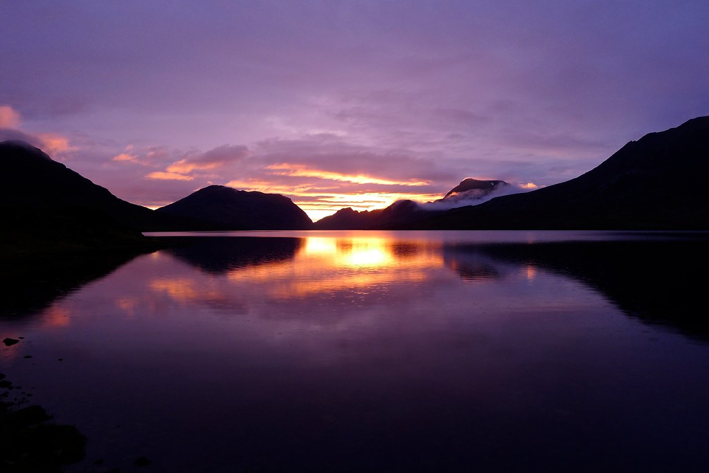
Though initially the light was flat it soon became apparent that the sun was going to find its way through a gap in the clouds to the west. As sunset approached the spectacle increased with light shimmering on the water and lighting up cloud that drifted in across the low cols to the north.
It culminated in a magnificent show that had me transfixed for minutes, the clouds in the west turning purple whilst behind me a faint rainbow told of the receding rain.
Monday 19th May
Wild Camp by Lochan Fada to Wild Camp on Ruadh Stac Beag (NH 029 762)
Distance: 14.26km (Cumulative: 50.46km)
Elevation: 1,308m (Cumulative: 2,996m)
Hills: Beinn Tarsuinn (Munro, 937m), A’ Mhaighdean (Munro, 967m), Ruadh Stac Mor (Munro, 918m)
I awoke once again to the gentle putter of rain on the fly. I was kind of hoping it would have stopped by now but putting my nose out to sniff the air it was clear it was hardly anything - silnylon sure makes it sound worse than it is! By the time I’d had breakfast and got everything packed up the day had improved and weak sunshine was spilling out from behind the clouds in the east. I elected not to bother with the waterproofs and happily wouldn’t have to wear them for nearly 36 hours!
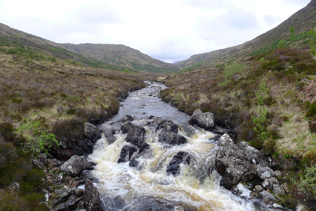
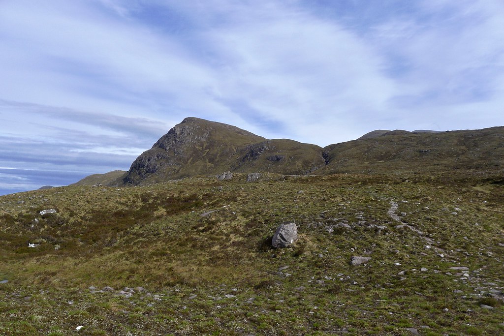
I bimbled off, retracing my steps back around the end of the lochan to the inflow and then picked up an excellent stalker’s track which headed for the Bealach Odhar. Though not marked on the 50k map I had with me this is a fantastic track which heads up rough ground besides the chattering Allt na Creige Glaise, gaining height at a pleasant rate.
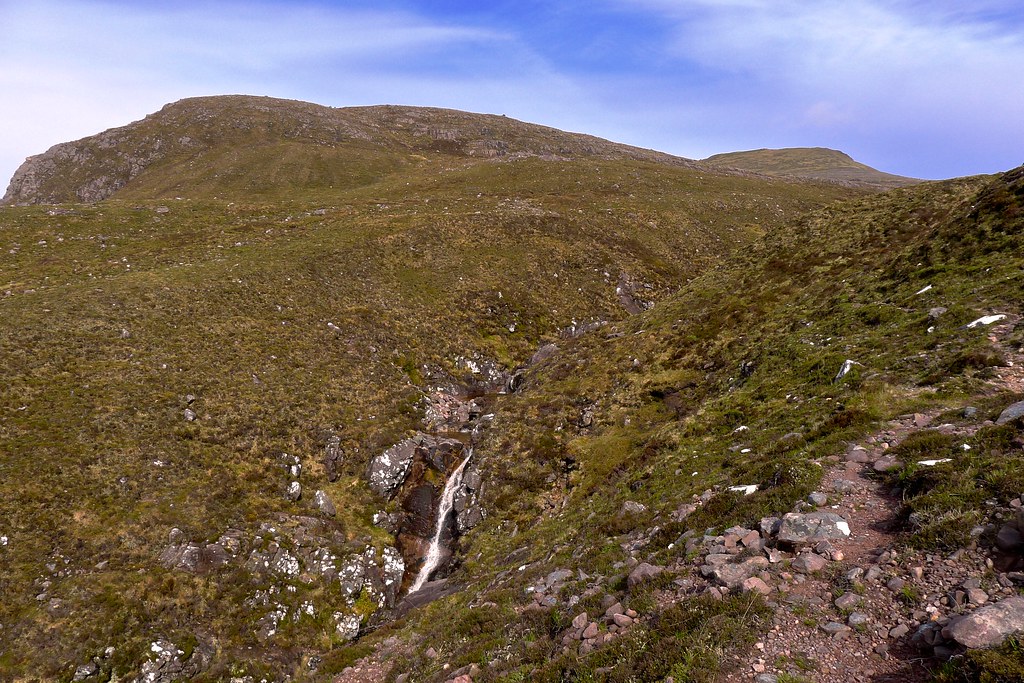
Eventually the allt squeezes into a narrow gorge with the track following an exciting line along the lip, waterfalls tumbling below. Ahead of me I had views of Beinn Tarsuinn’s flat summit and off to the left the Sgor Dubh ridge of the Mullach still holding onto a little cloud. Otherwise the weather was much improved with blue skies and sunshine and distant views behind towards a wide stretch of the northwest Highlands.
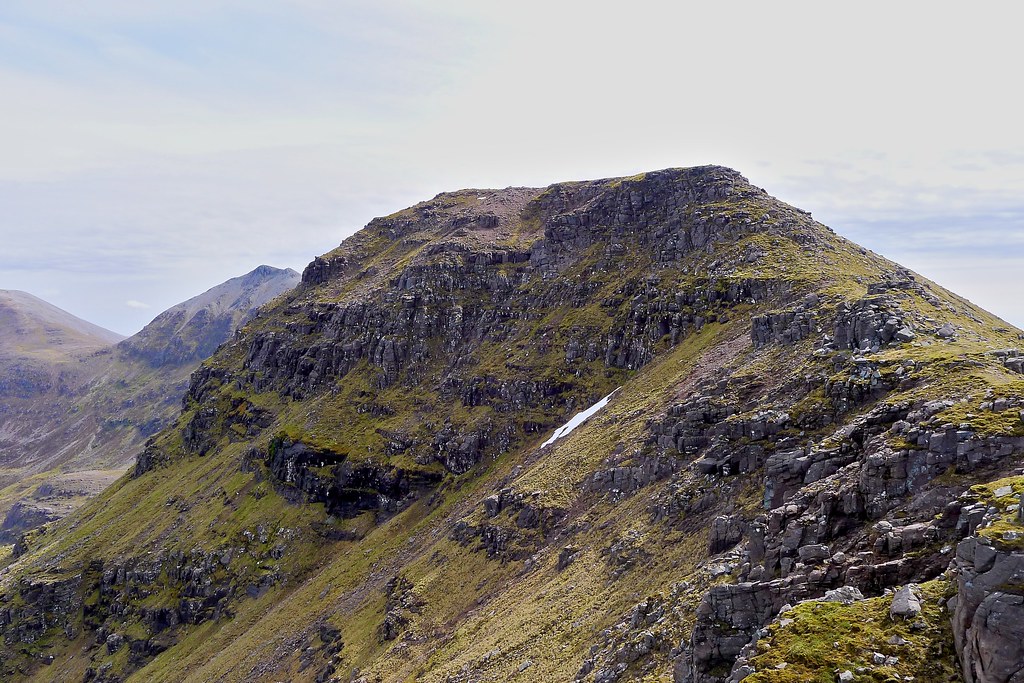
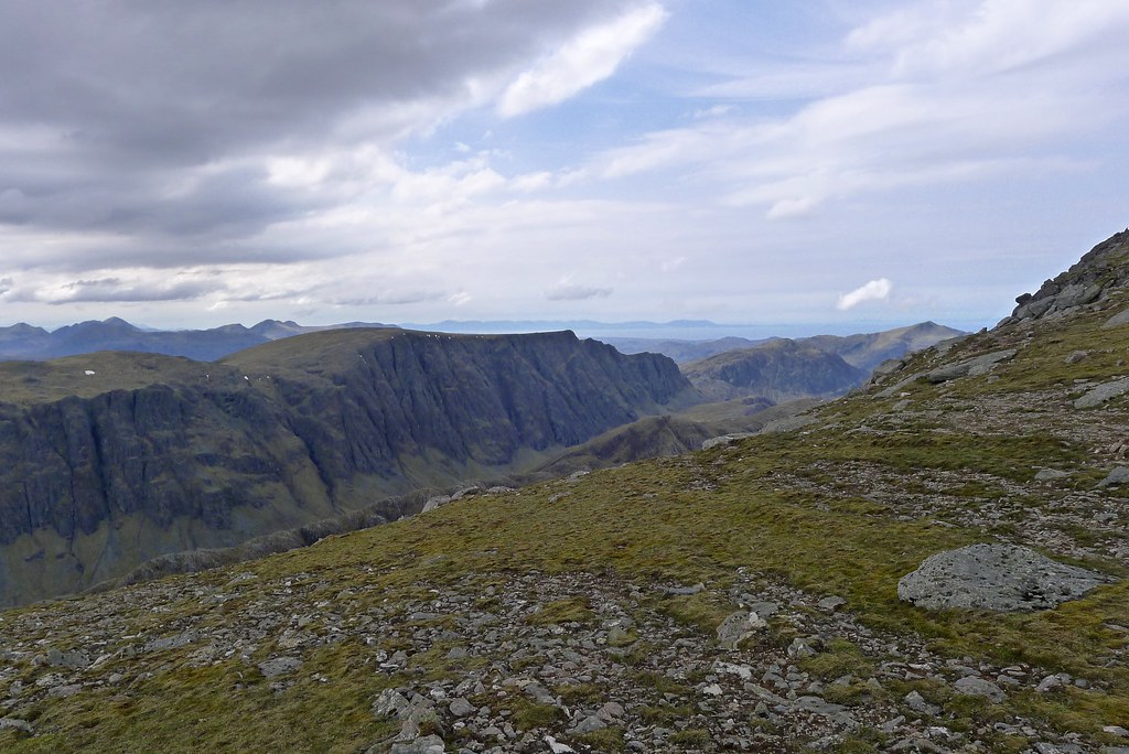
As I approached the bealach between Beinn Tarsuinn and Meal Garbh the track wended its way between rocky outcroppings, then suddenly I was at the crest and staring down the long trench of Gleann na Muice to the jagged mass of An Teallach at the far end. To the right the Mullach reared, its quartzite cap shining above the dark sandstone crags. It was an awesome space to suddenly find myself in and called for a sit down and a break. Lochan Fada looked a long way behind me now.
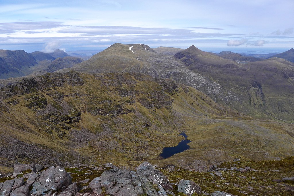
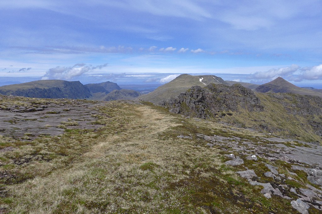
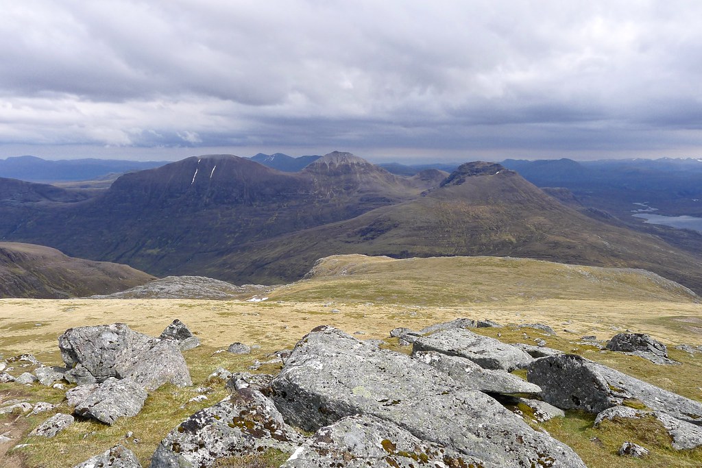
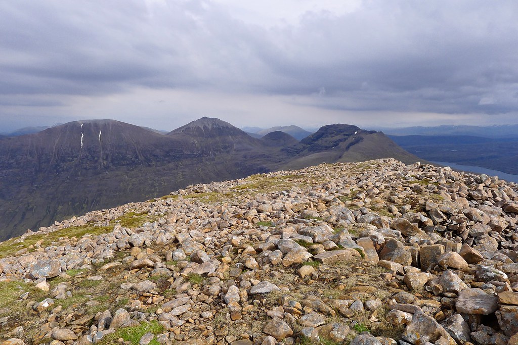
The eastern slopes of Beinn Tarsuinn are gently angled and it was easy enough to follow the “Fisherfield 6” baggers track up to the summit, initially through sandstone terraces, but then grassy rocks higher up. As I rose, the views across the Pollan na Muice to A’ Mhaighdean and Ruadh Stac Mor appeared, as well as the march of hills north from the Mullach along to Beinn a'Chlaidheimh.
I was overjoyed to arrive at a deserted summit with clear views in every direction, a stunning and isolated spot.
The summit offered wide ranging views in all directions, but the most impressive was down the length of Gleann na Muice to An Teallach and way towards Beinn Lair in the west. I enjoyed the peace and solitude of this rocky peak.
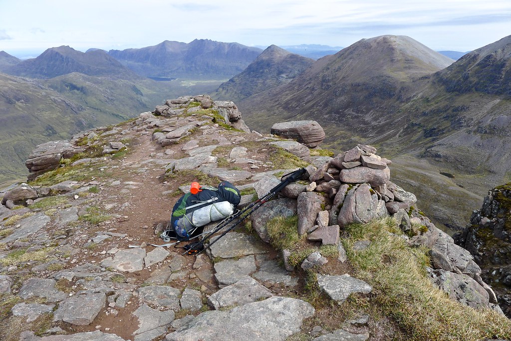
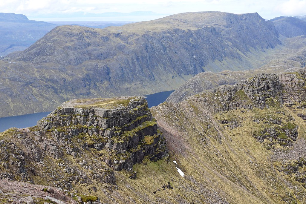
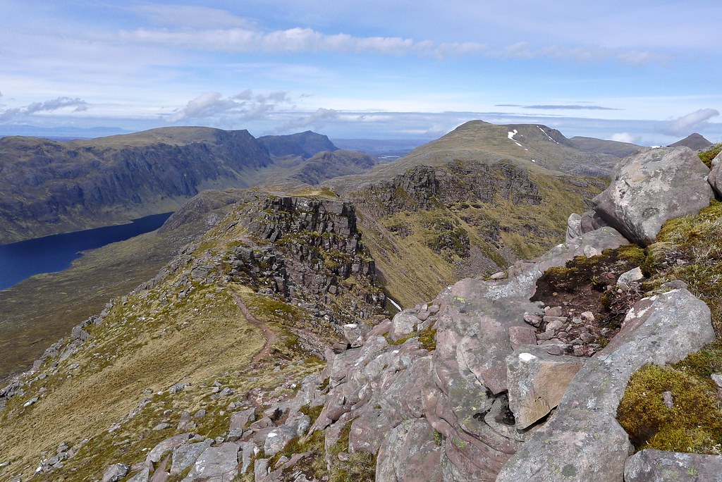
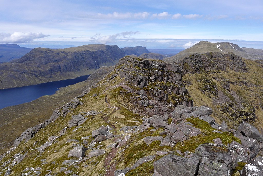
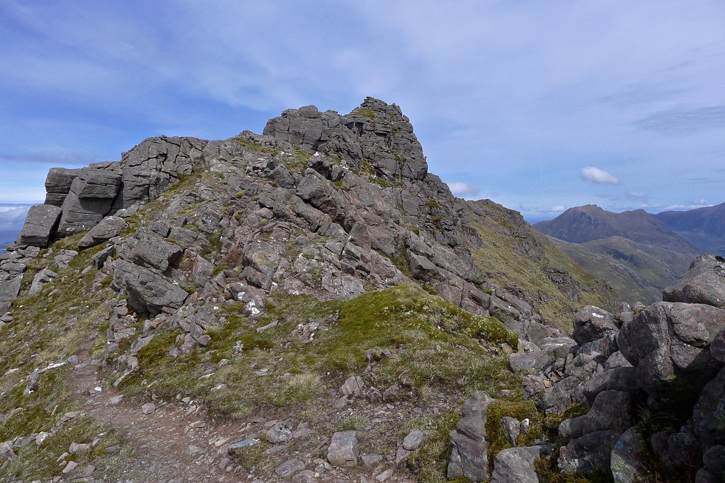
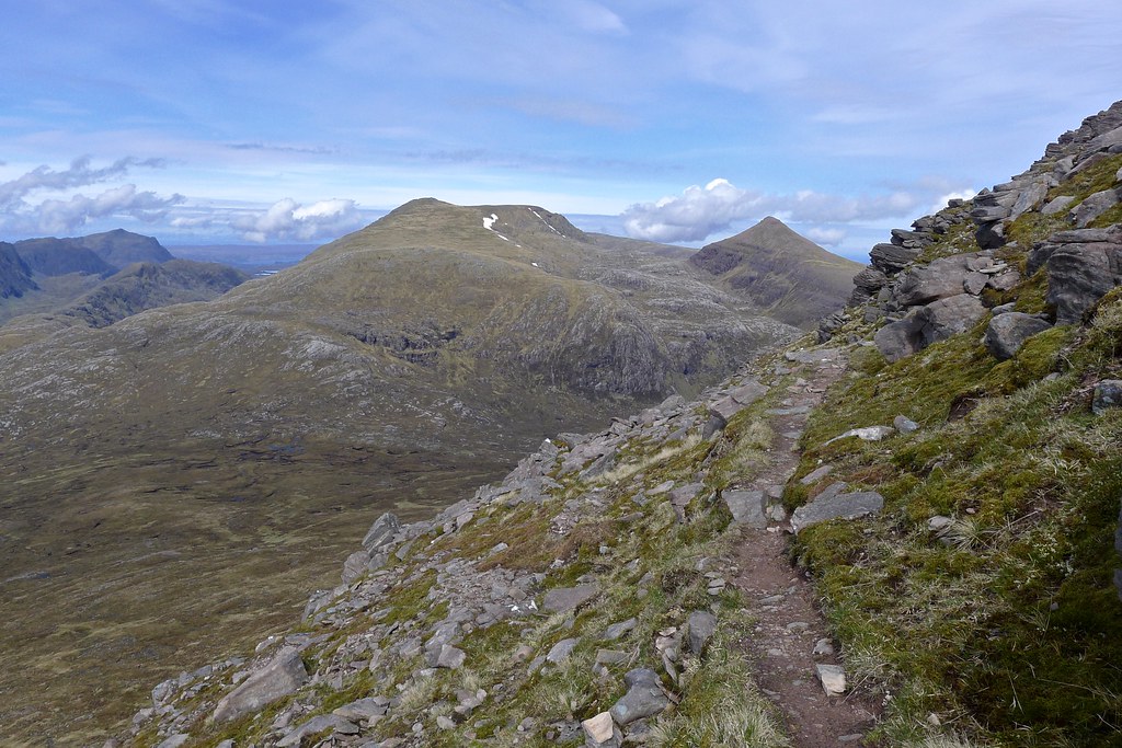
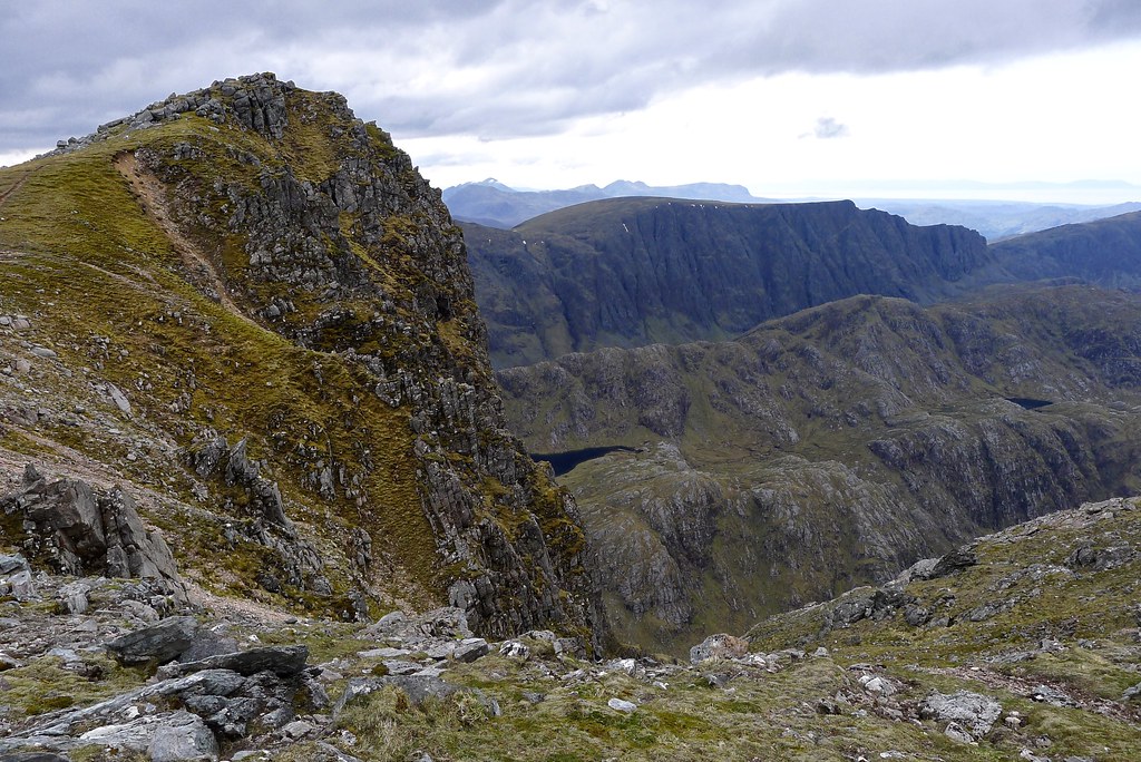
The west ridge of Beinn Tarsuinn now beckoned, first to the famous bowling green, a curiously flat-topped outcrop on the ridge where there is sufficient “lawn” to pitch a tent, and then an airy but comfortable walk along to the pinnacles.
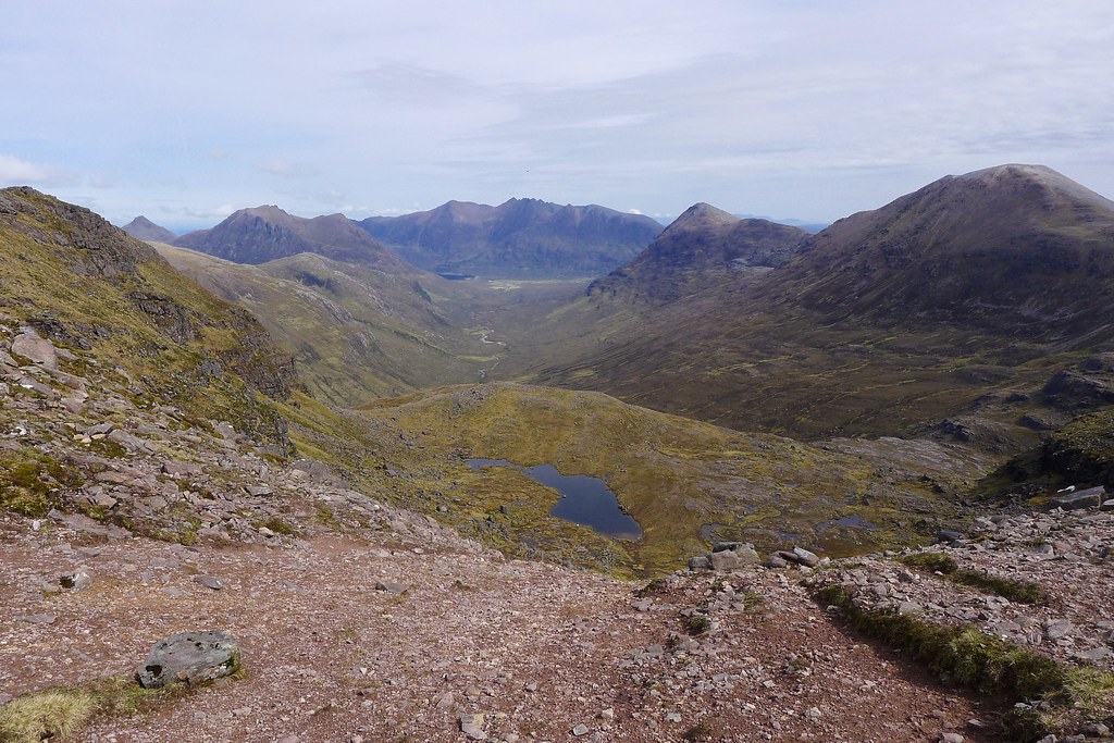
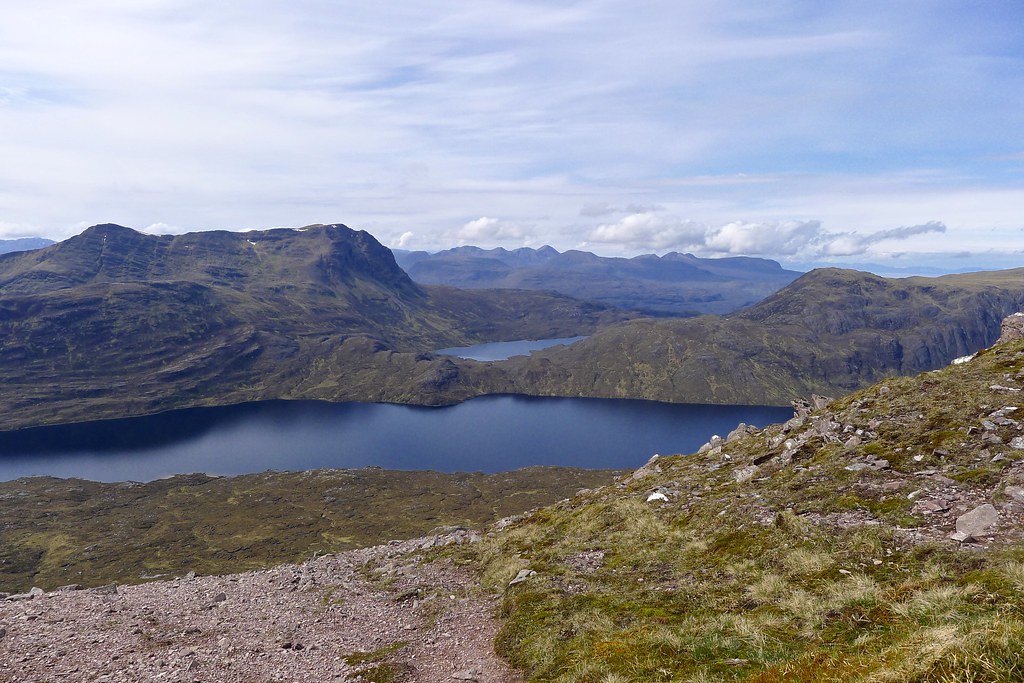
The view and situation is sublime with a panorama across Lochan Fada to Slioch and away to the hills of Torridon. Down Glen na Muice An Teallach sat below a changing sky as cloud slowly built in the north. A path led up to the first of the pinnacles but to the south a bypass path led. I took the latter, reasoning the heavy backpack wouldn't make for the most pleasant scrambling experience. The path was airy but easy to follow and I enjoyed making my way along below the ridgeline, the descent to Pollan na Muice looking like a long and steep one.
The bypass path wound easily around the hillside and then seemed to drop steeply off into a scrabbly and unpleasant gulley. A fainter path continued around and it was this I followed which started to drop down the hillside at a more reasonable angle. It was a steep descent nonetheless but progress was good and at an outcropping of boulders I stopped for lunch. The sun was shining and down here I was sheltered from any cooling breeze. It was hot and I took the opportunity to apply just a smidge more factor 50. Looking out there wasn't a single other figure in the landscape and no sign of human intervention beyond the faint mark up the path climbing the eastern slopes of A’ Mhaighdean.
That was my next calling point and after squelching across the bogs at the Pollan na Muice I started the long and laborious climb. Ideally I wanted to ascend this hill by its famed north-western ridge but slower progress the day before had caused me to caught off the western end of my loop. I silently promised myself that the next trip to Fisherfield would be from Poolewe so that I could take in the causeway and the scrambly ridge.
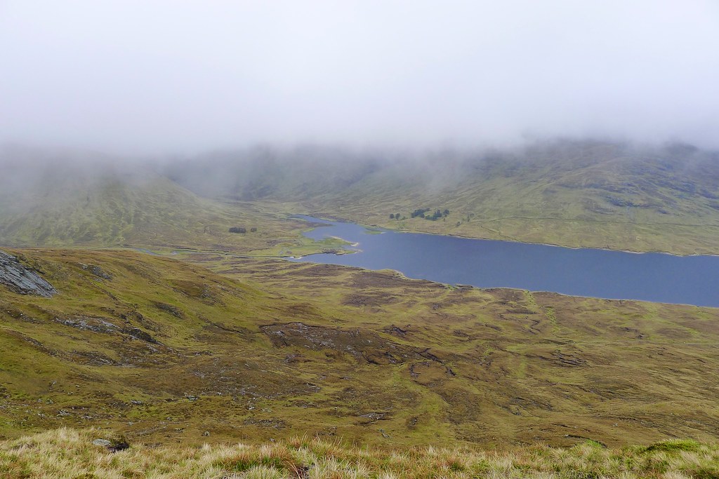
After wending my way through the lower rock terraces the long grassy slope to the summit opened up before me. The long climb was enlivened by the views opening up, to Slioch across the lochan and a distant view of my camping spot from last night.
Clouds continued to bubble up in the north and east. Near the top I crossed over to the south for a look down to dark Gorm Loch Mor and the cliffs of Beinn Lair, a fabulous and wild landscape. As I was returning to the path a hillrunner came skipping down and by the time I was on the last pull to the summit cairn he was down at the Pollan na Muice!
The excitement was palpable as I crested the summit of the hill.
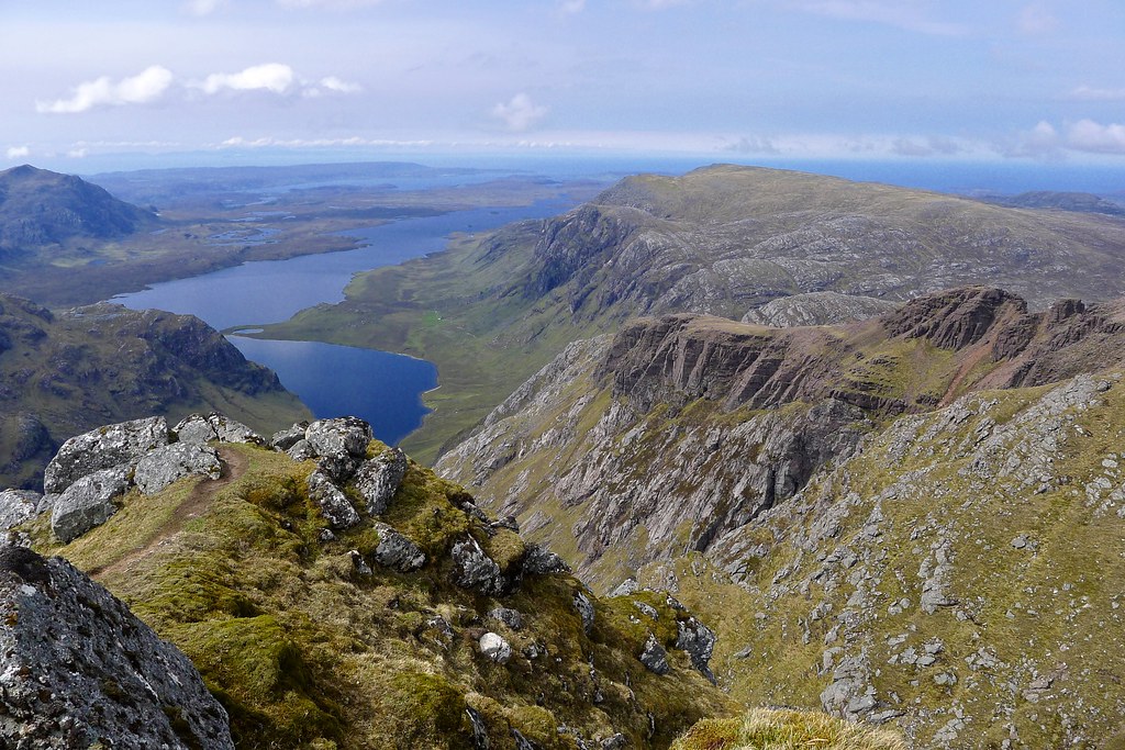
There was just a short extra distance to go from here and then the uphill ended and suddenly there was just a rocky top with jumbled cairn and then a huge drop off down to the Dubh Loch. This iconic view is widely regarded as one of the finest views in Scotland, and certainly the best from any Munro summit. It more than lived up to these high expectations. It is an incredible view with water and rock combining in ever changing ways far out to where sea and sky meets.
I felt privileged to have this remote perch to myself and after a quick exploration of the summit area sat down on the edge of the escarpment, my feet dangling over the void and my eyes taking in all this fabulous landscape.
An hour later I emerged from this trance-like status. The afternoon had advanced and I was sorely tempted by the idea of a summit camp on this, most remote of Munros. However, I also needed to make a little more progress, particularly if I wanted to get into the Fannaichs later in the trip. I reluctantly drew myself away from the view and crossed across to the flat plateau of the northern top of A’ Mhaighdean. The shifting light now threw sunshine on the eastern hills of Fisherfield whilst darker clouds brooded over more distant mountains.
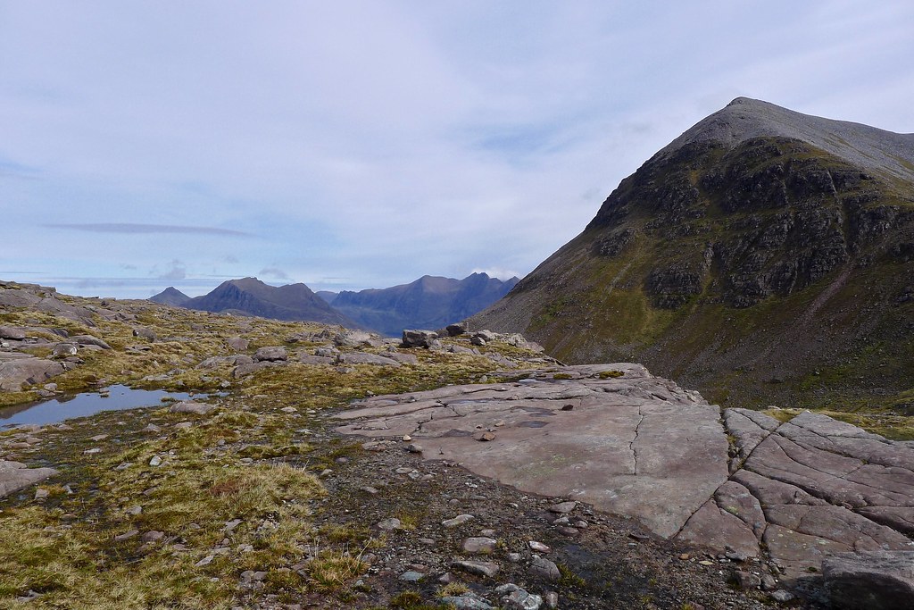
I soon picked up the excellent track which drops down to the bealach in front of Ruadh Stac Mor, the next Munro. Sitting above Fuar Loch Mor this is a stony and remote feeling bealach, a long way from most places and utterly deserted.
The climb up to the Munro ahead looked “interesting” and I was eager to see whether it could be overcome with my weighty camping pack conspiring to knock my centre of gravity off in unpredictable ways. Initially it’s a scrabble up scree and then there is a short section of scrambling through dank sandstone. It’s all eroded and unpleasant but the difficulties were short lived and I soon emerged on top of the terracing and faced with an easy plod up through the loose boulders to reach the top. A pair of sprightly goats stood off to one side, eyeing me with a mocking tone as I scrambled up the loose blocks, moving from cairn to cairn in an attempt to follow the line of least resistance.
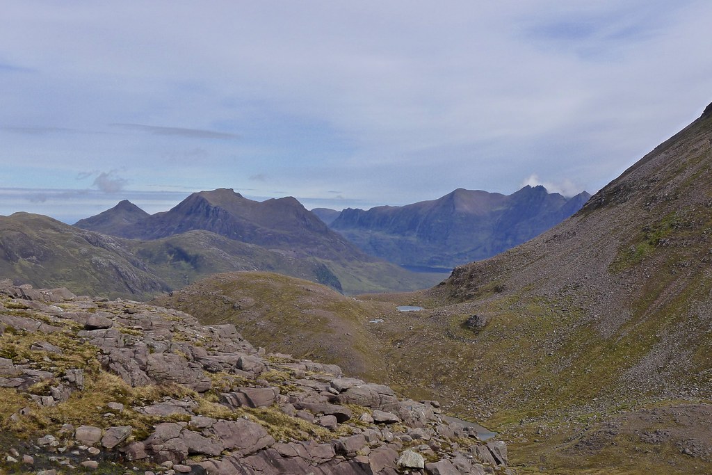
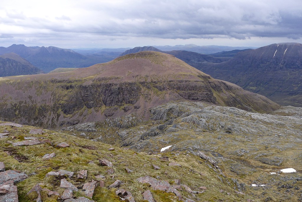
The reward for this short but sharp ascent was some fabulous late afternoon views from the summit. Again, it was a place to linger and enjoy it all; I had the place to myself and I sat on the edge looking across Fuar Loch Mor to A’ Mhaighdean and further out to Torridon and the sea. There were clear views to the Beinn Deargs and over to An Teallach, brooding under dark skies. It was now getting on for 5pm. I was glad though that my approach to this area had allowed for a very lazy approach to this fabulous trio of hills. Combined I must almost have spent more time sitting on summits than walking between them today!
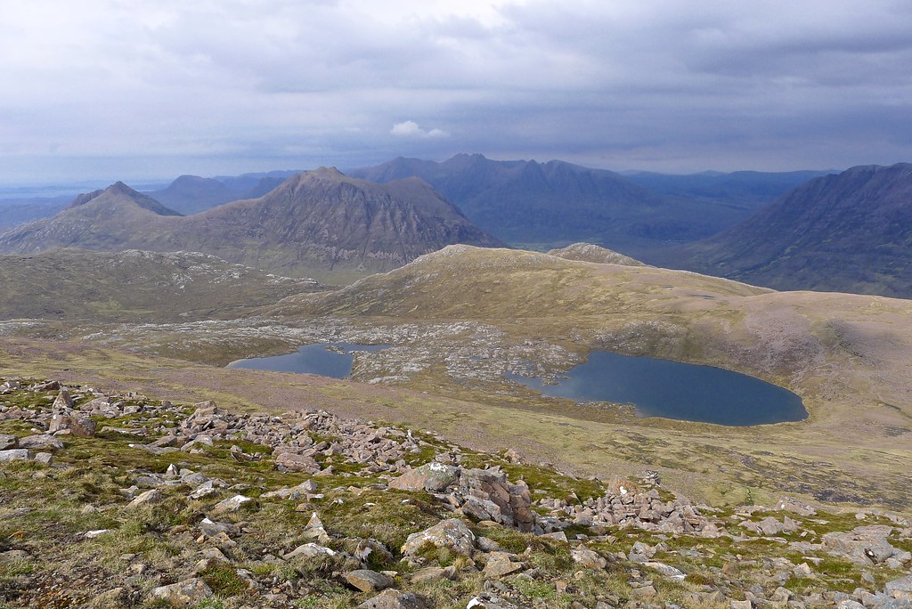
I crossed the narrow summit plateau for the views north and looked out across the land immediately north where there was a large loch and then a few smaller lochans between the tops of Ruadh Stac Beag.
There looked to be flat, grassy ground in the vicinity of these lochans and so I aimed there for my next camping spot. I followed the ridge of Ruadh Stac Mor westward down a few crumbly sandstone sections and then, once the northward slope had eased followed grass down through the occasional sandstone terrace to pass eastward of Lochan a Bhraghad.
After examining the bealach here I headed up to the 705m spot height at the eastern end of Ruadh Stac Beag and started looking around for a suitably flat spot with a good view. It was breezy by this time and so I ended up dropping just back from the edge overlooking Gleann na Muice. I got the tent up and went in search of water which was surprisingly difficult to find given the number of lochans in this area.
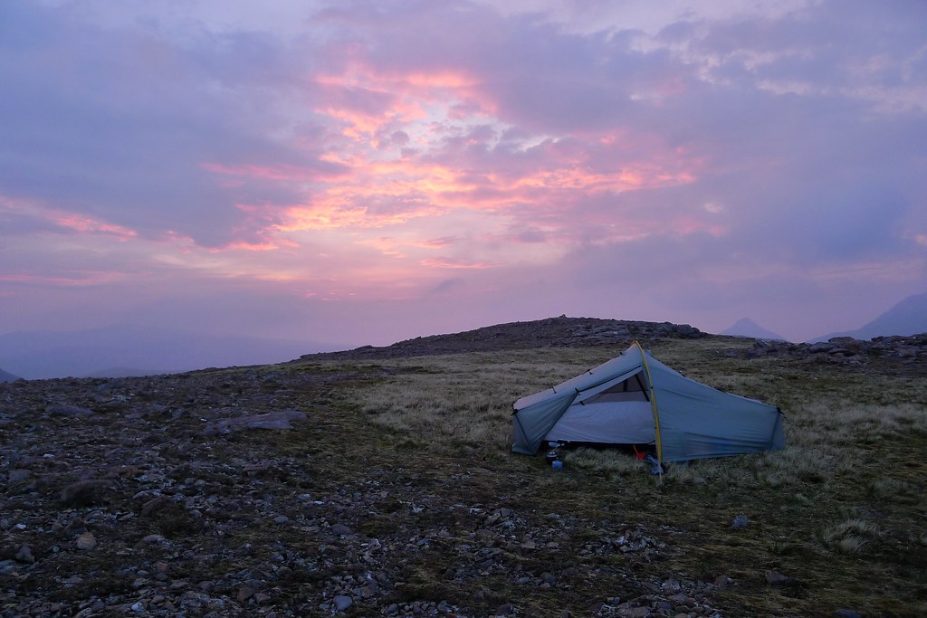
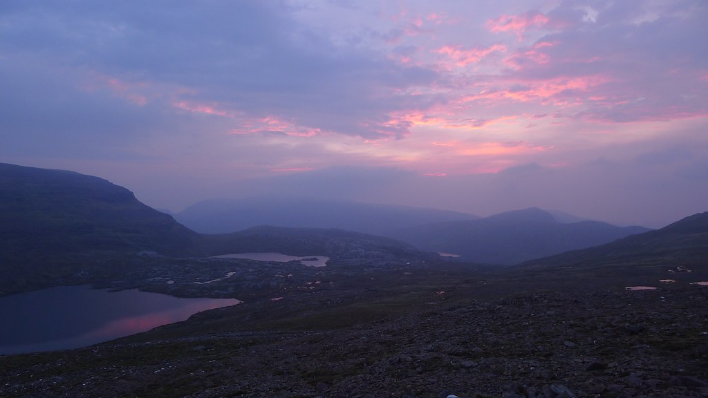
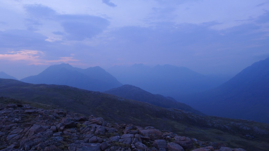
Returning to the tent it was a pleasant, breezy evening which kept any threat of midges at bay. Large clouds bubbled up from the east but passed over without any threat. I cooked dinner and watched as cloud built sending the light flat. Eventually a murky sunset appeared and I watched it with a cup of hot chocolate in hand as the string of lochans to the west turned pink and the pinnacles of Beinn Dearg and An Teallach were swallowed by the gloaming.
The first three days of the trip had gone extremely well and I felt very grateful that the conditions had come good for my day exploring these fabulous and remote hills. It looked like I should get at least another day of good weather but beyond that things looked a little damper...
