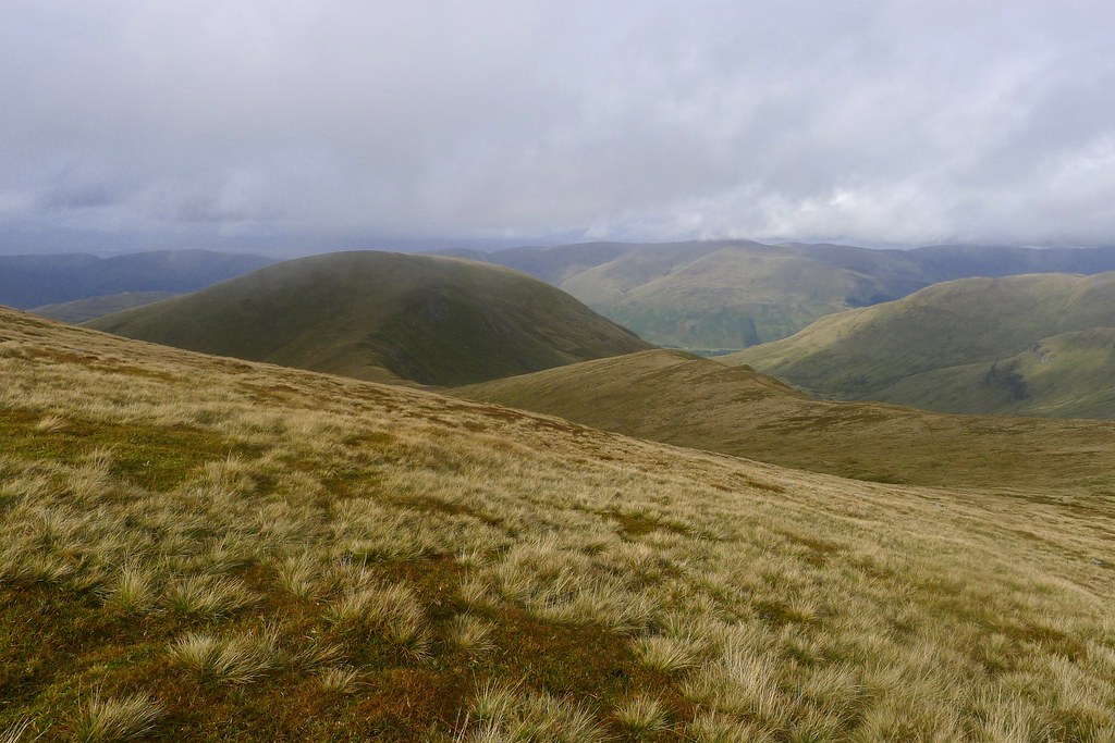
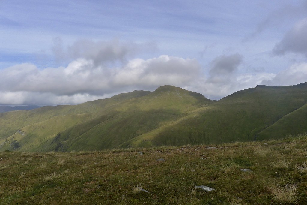
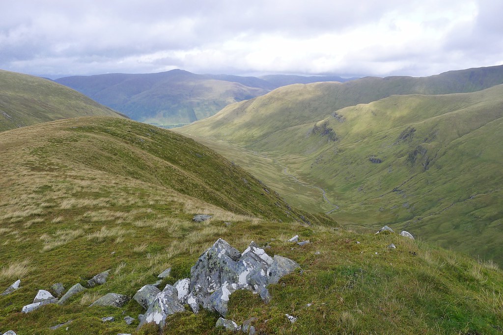
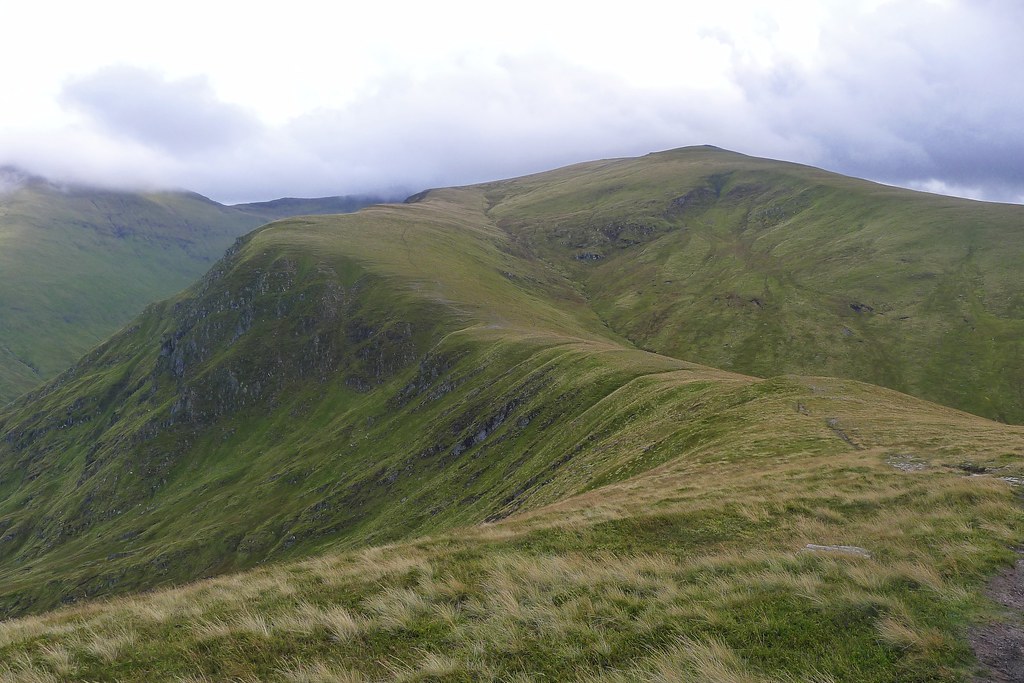
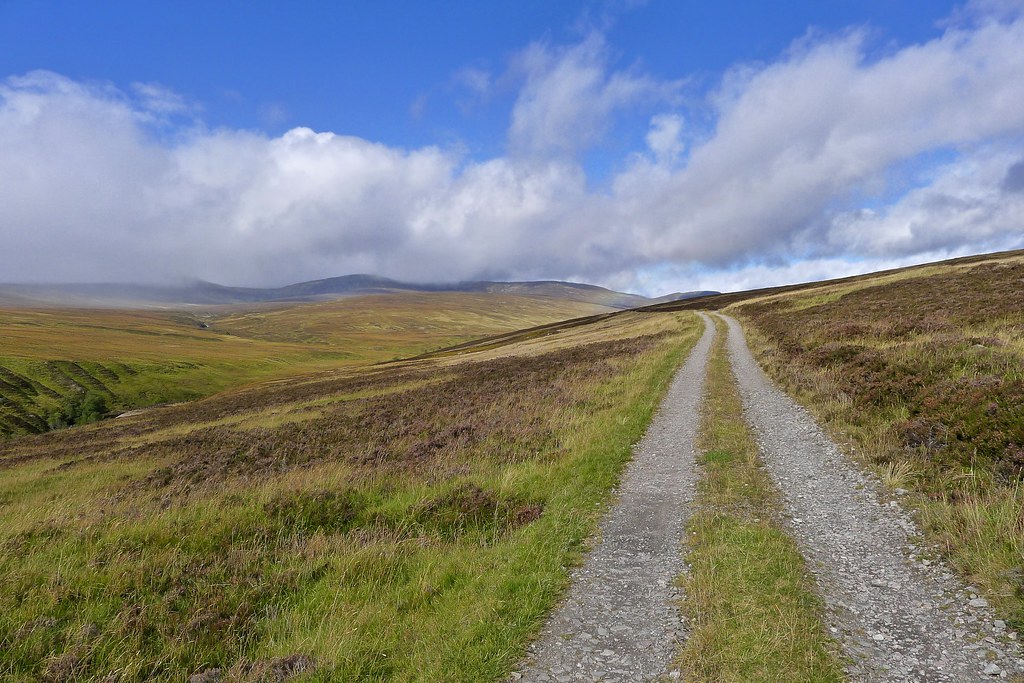
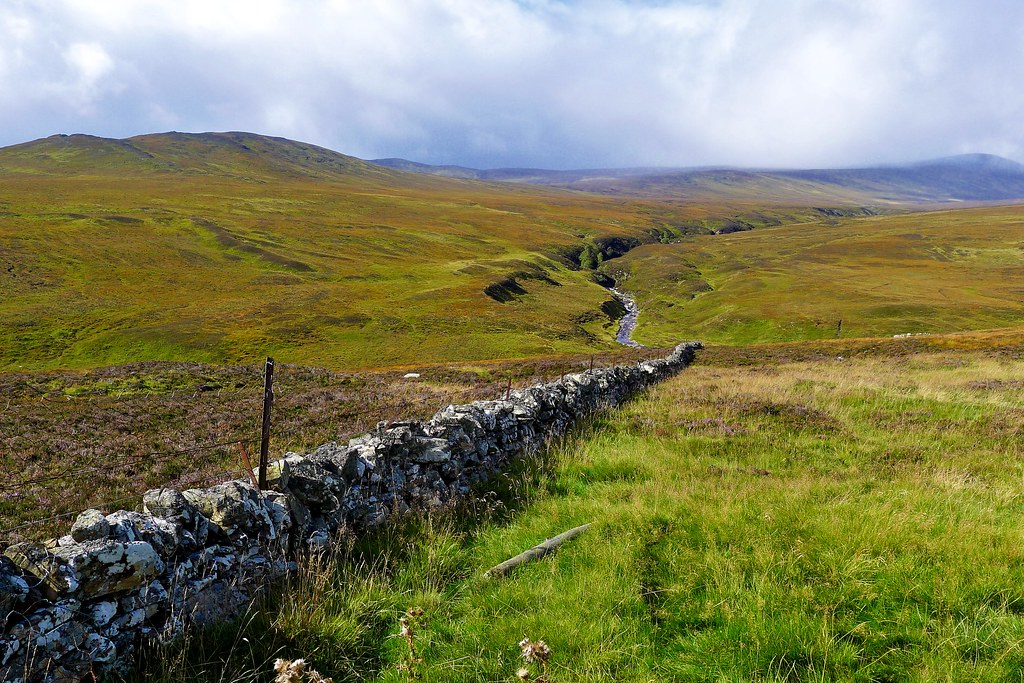
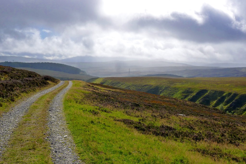
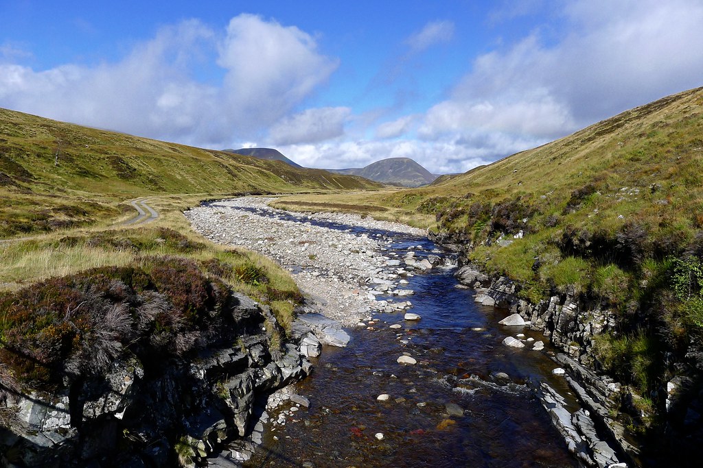
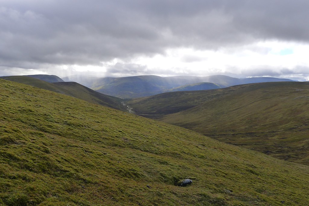
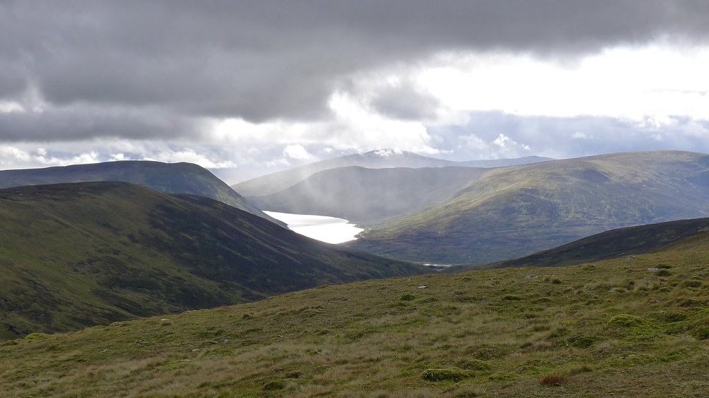
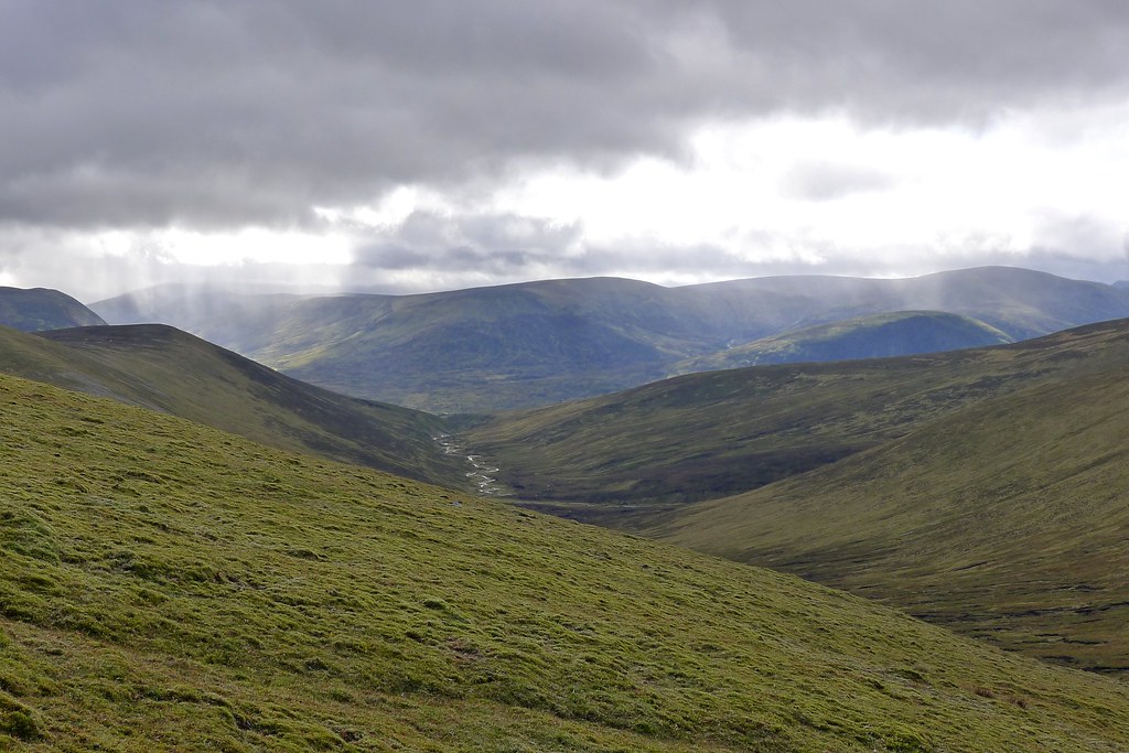
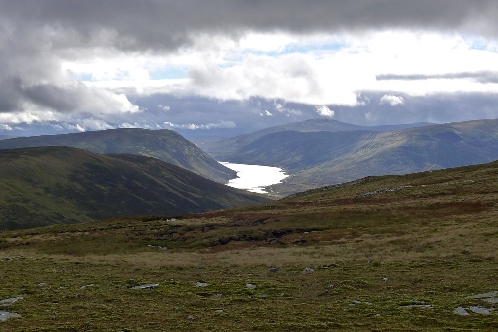
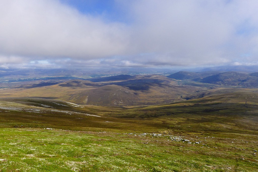
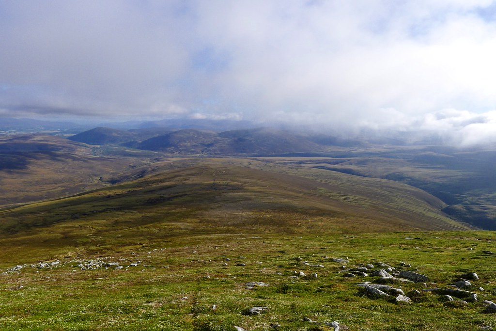
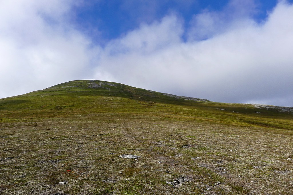
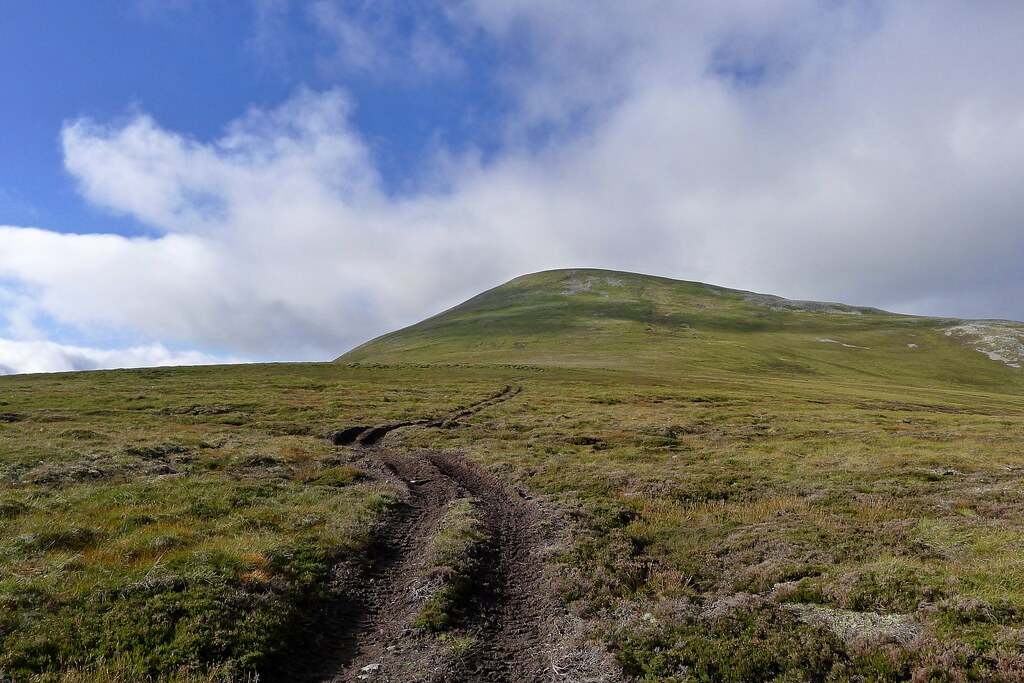
A four day backpack from Killin to Kingussie taking in the Lawers range, Glen Lyon, Loch Rannoch and the Gaick Hills with three wild camps along the way
“These rivers of suggestion are driving me away.
The ocean sang, the conversation's dimmed
Go build yourself another dream...”
I’d really wanted to be on the west coast, striding across the mountains of Fisherfield or Affric, but the weather suggested that south and east would be better with the mountains there escaping the worst of low cloud and drizzle. So it was that I pulled out my Munro map and drew a line between a couple of groups of hills that had unclimbed summits nestled amongst them. I found a start point and an end point served by public transport and that was about it for planning. The rest would be down to weather and willingness. In the end I walked around 75 miles in roughly 73 hours and enjoyed some fine walking and camping along the way.
Date: 20th-23rd September 2013
Distance: 121.18km
Ascent: 3,925m
Hills: Meall Corranaich [Munro], Meall a' Choire Leith [Munro], A' Bhuideaneach Bheag [Munro], Carn na Caim [Munro], Meall Cuaich [Munro]
Weather: Low cloud and drizzle giving way to sunshine
Route: View on OS Maps
Day 1
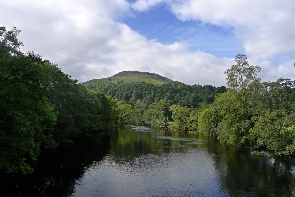
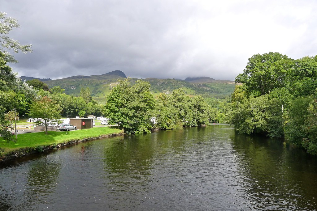
Just before lunchtime on Friday I arrived in Killin. It took some persuading the bus driver that I really was getting off here. Perhaps the fact the coach was heading on to Oban via Tyndrum made my destination seem a little tame. Nevertheless, I like Killin, and beyond its quiet streets, pleasant cafes and gently flowing river lies the mighty Lawers range and stretching away north, an area of wild country broken only by long winding glens and lochs.
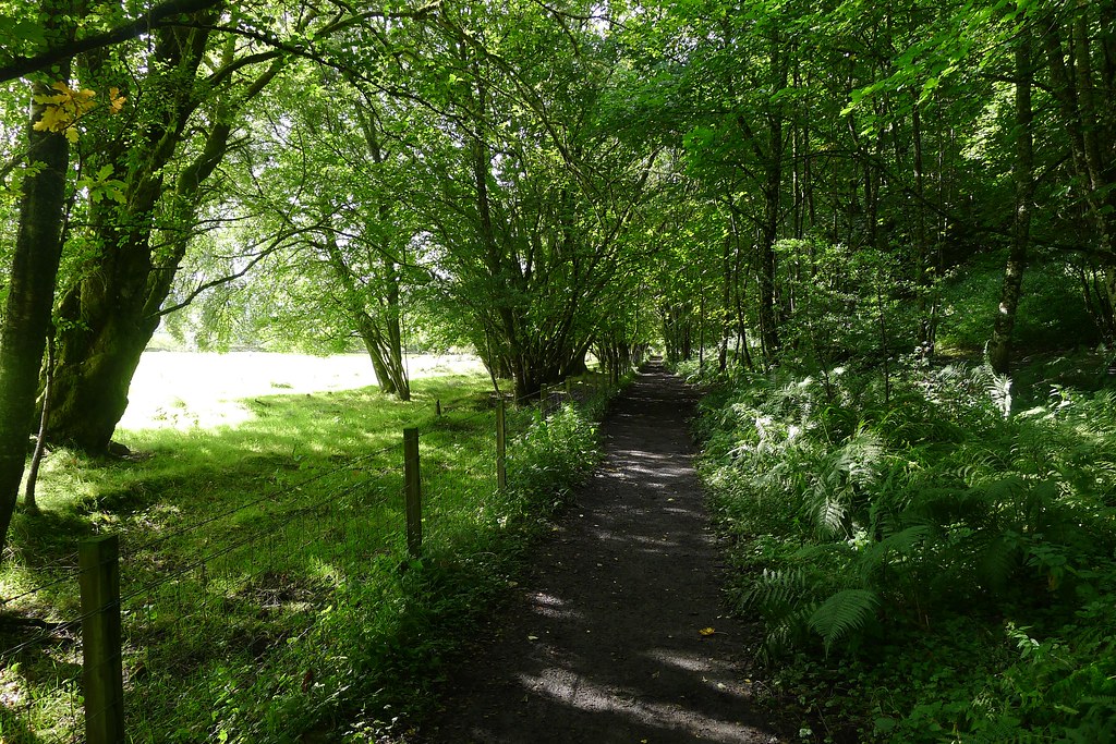
After an early start from Aberdeen I was able to enjoy a leisurely lunch in the village before seeking out a way onto the mountains. Initially I strolled along the old railway line which leads out to the end of Loch Tay. Sadly this terminates at the gated entrance to Finlarig Lodge and there seemed to be no way through to the main road.
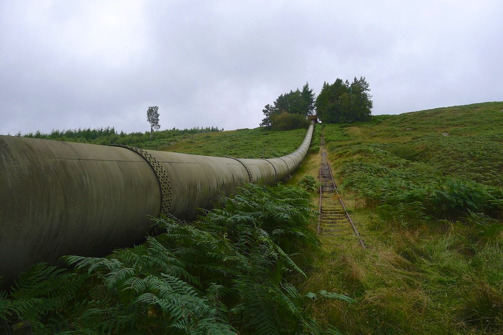
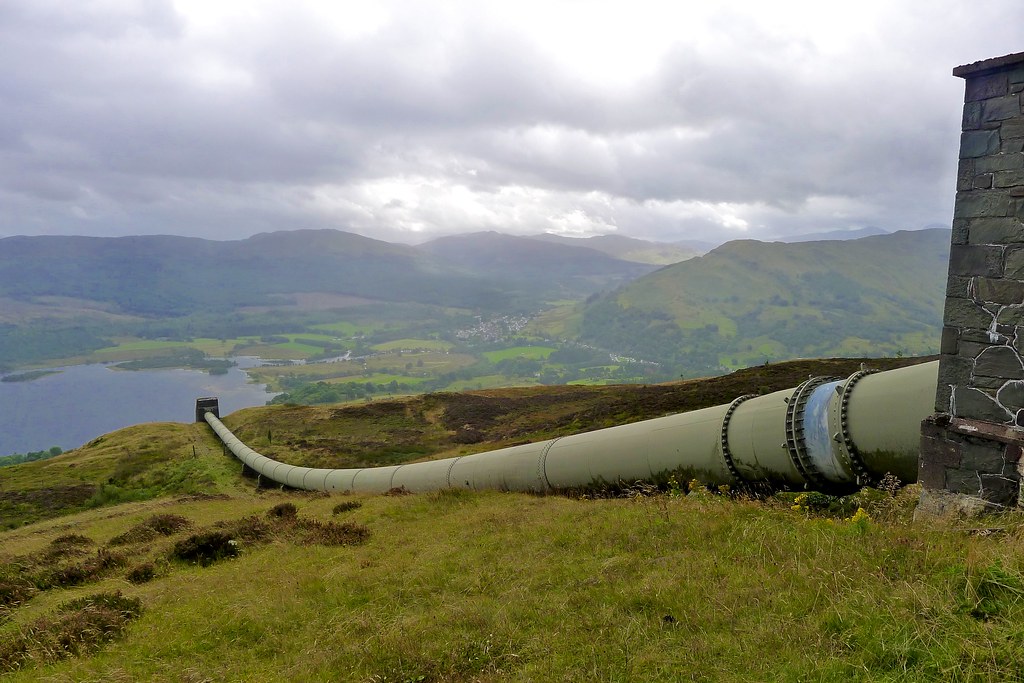
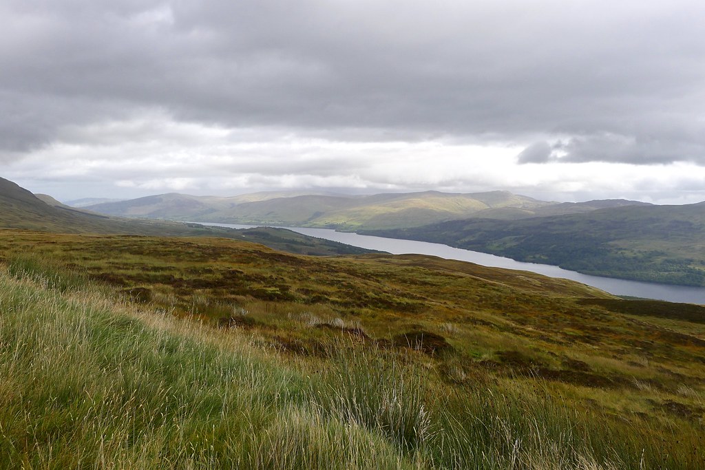
I backtracked, continuing to enjoy the sunshine that filtered down through the trees and eventually worked my way round via the main road which thankfully wasn’t too busy. At a point just beyond where the hydro pipes cross under the road a track leads off north and takes you to the foot of a narrow gauge railway that climbs steeply up the hillside besides the pipes. This makes light work of gaining height and although the sun had been replaced by drizzle sweeping in from Glen Lochay it was pleasant and I enjoyed the views out over Loch Tay.
At the top of the pipeline a service track is picked up and this is followed around to the Lawers road, just up from the new car park. I had used this track when doing a round of the Tarmachan Ridge with my aunt and uncle last September. The drizzle eased off and brief rays of sunlight appeared in the distance. Ahead of me Ben Lawers was shrouded in ominous cloud and only snatches of the Tarmachan Ridge could be seen.
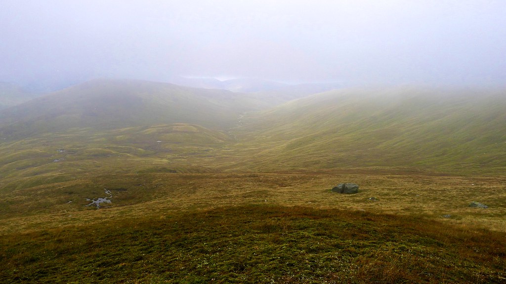
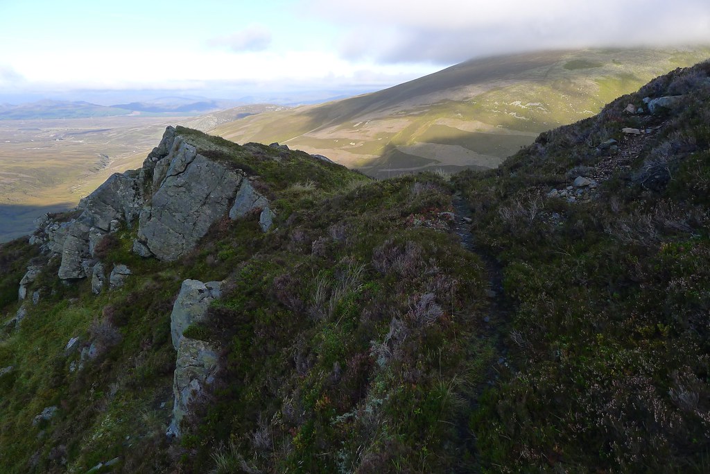
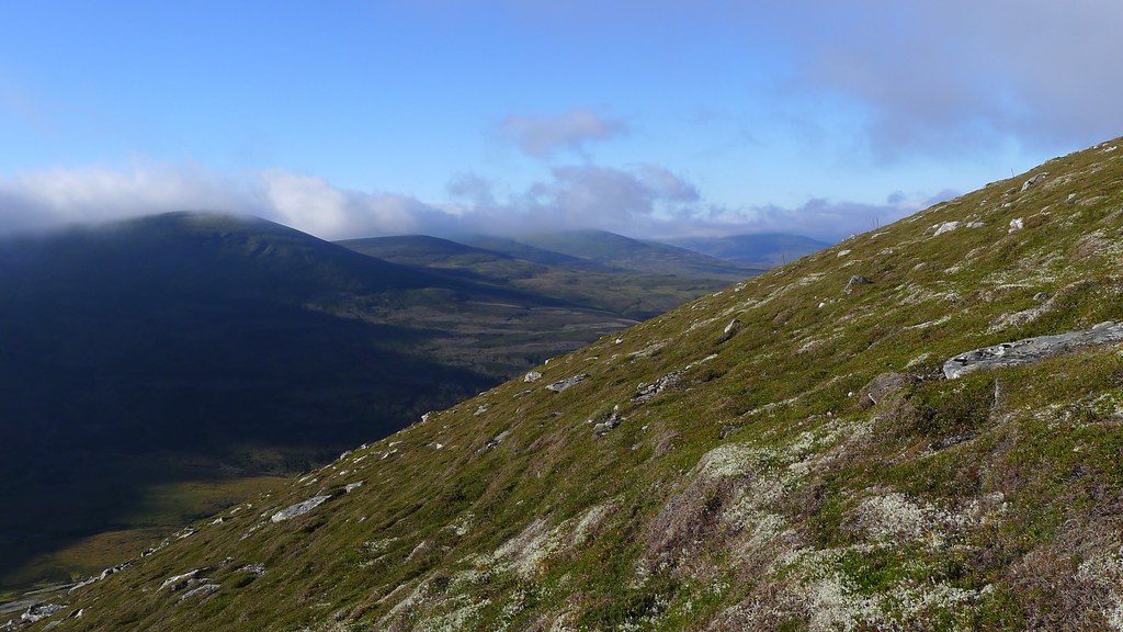
Crossing the road I now followed rare strands of drier ground up to the craggy southwest ridge of Meall Corannaich which tumbles down in a series of steep lumps to the roadside. A path emerged as I reached the crest of the ridge and I followed this as it hugged the hillside, picking a good line up on the west side of the ridge and providing impressive views down to Lochan na Lairige below the misty crags of Meall nan Tarmachan.
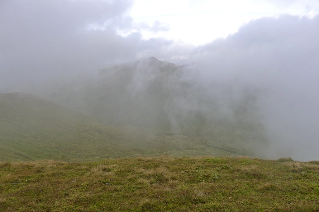
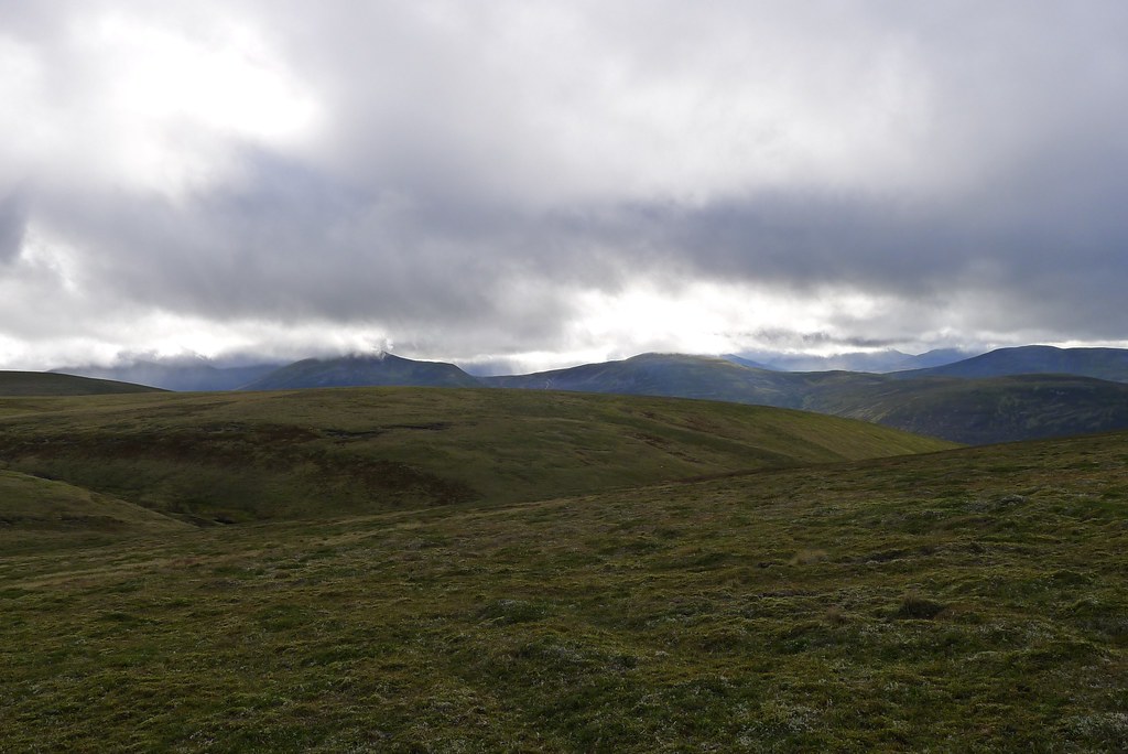
Eventually I left the path and climbed back up to the ridge, soon arriving at the cairned top of Sron dha-Murchdi. By now I was in the swirling mist and found the wind blowing fiercely in from the west. It carried me quickly up to the Munro summit of Meall Corranaich where fleeting gaps in the cloud gave me views over to Ben Lawers (read about my day trip here), towering still higher above this lofty 1,000m+ summit.
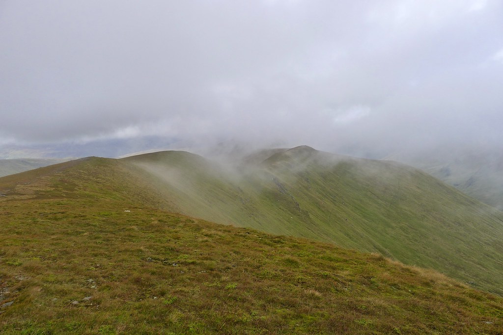
I briefly stopped for some food and a drink but with extremely steep slopes on the east side it was almost impossible to find any decent shelter. The wind chill was very noticeable and I soon got moving again to warm back up. A fine ridge extends north from Meall Corranaich dropping down towards the second, much lower Munro of Meall a' Coire Leith.
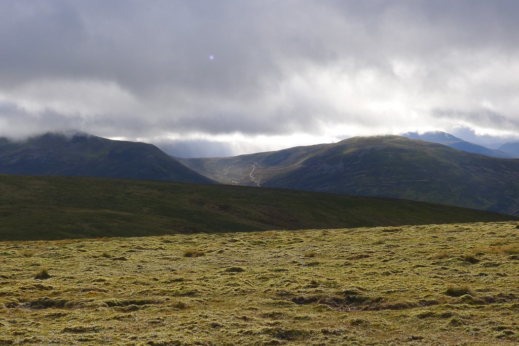
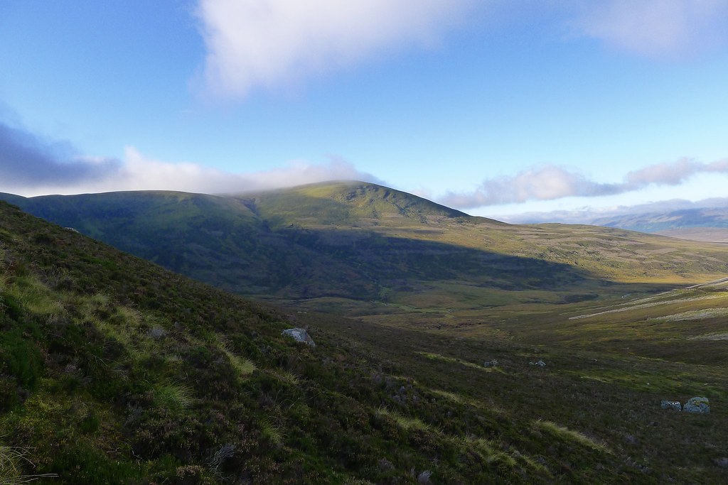
Happily, as I descended the cloud started to blow through and I enjoyed the views across the green glen to Ben Lawers and An Stuc. With the sunshine a little warmth returned and even the wind dropped slightly.
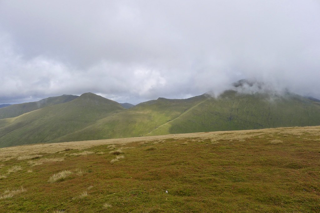
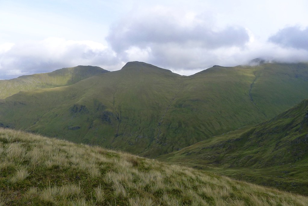
From the low bealach the second Munro was an easy climb following a clear baggers path, eventually bringing me to the summit of this more rounded hill. From the cairn on the plateau there were good views of the Lawers Range and the Invervar hills (day hike report) above Glen Lyon which were catching the late afternoon sunshine.
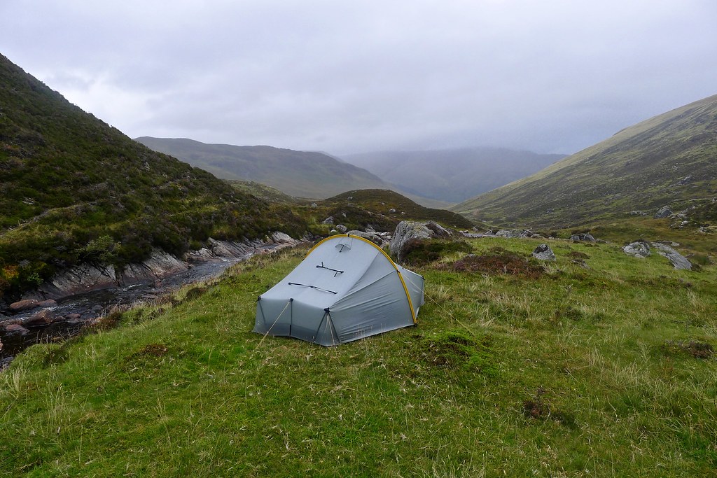
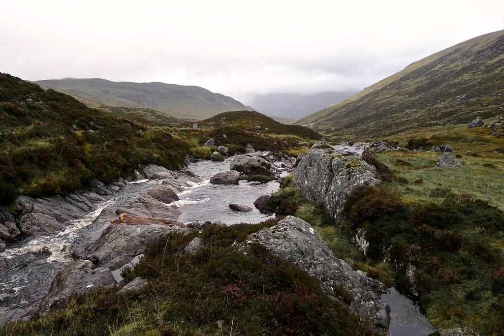
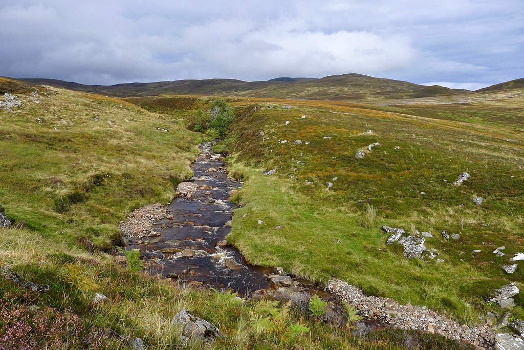
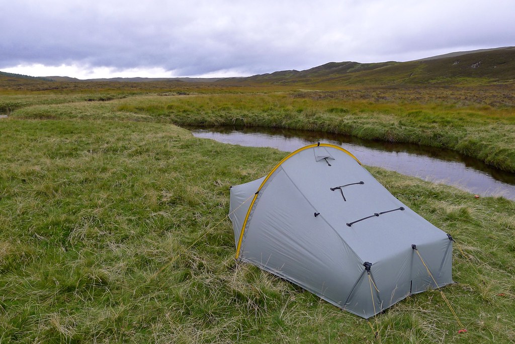
More distant hills were visible but it was clear that dark clouds were rolling in. I considered continuing along the hill to the north before dropping down into Gleann Dà-Eig but, considering the weather and the fact that I’d earlier spied good camping spots further up the glen, I decided to descend directly east from the summit, following a broad ridge that took me down to the swift flowing stream in the glen. I followed this downstream a short distance before I found an ideal grassy area to pitch the tent.
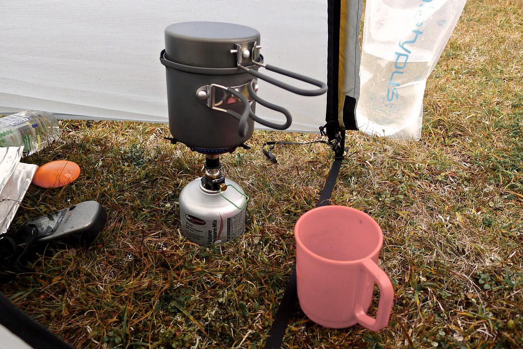
Just as the rain came on I got the tent up and was soon inside with a cup of tea, reflecting on a successful first day. It became a blustery evening with constant showers of heavier rain joined together by periods of drizzle. I was quite comfortable under silnylon however and after a few chapters of my book, a Fuizion dinner, hot chocolate and a couple of podcasts drifted off to sleep as the rain pitter-pattered off the outer fabric.
Day 2
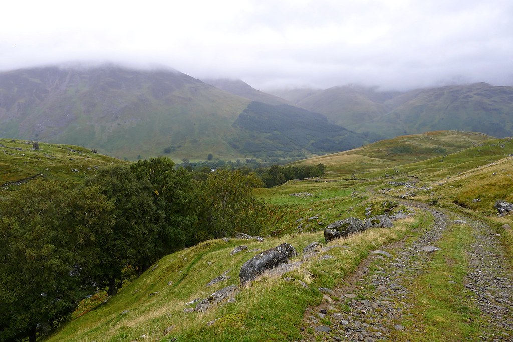
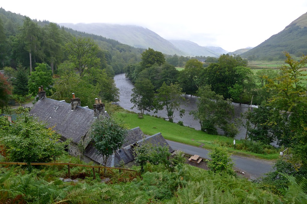
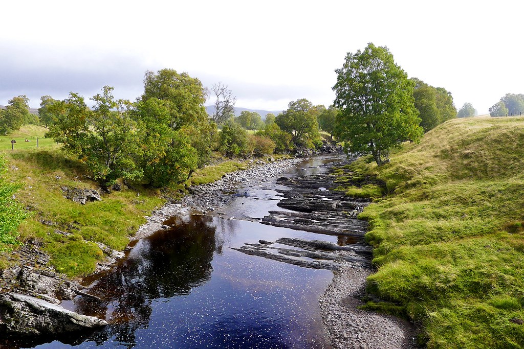
The next morning wasn’t much of an improvement with the surrounding hills shrouded in mist and drizzle still coming down. I got going though as the previous evening whilst perusing the map I’d remembered about the tea room at Innerwick in Glen Lyon. I was walking by 9am, quickly picking up a vehicle track that got me down the glen without much fuss. On the right the famous cloven rock appeared and then I was down through the trees and walking along Glen Lyon.
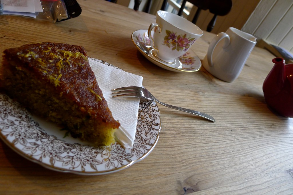
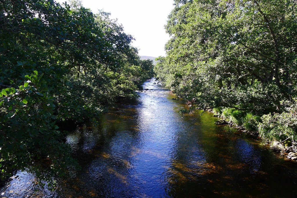
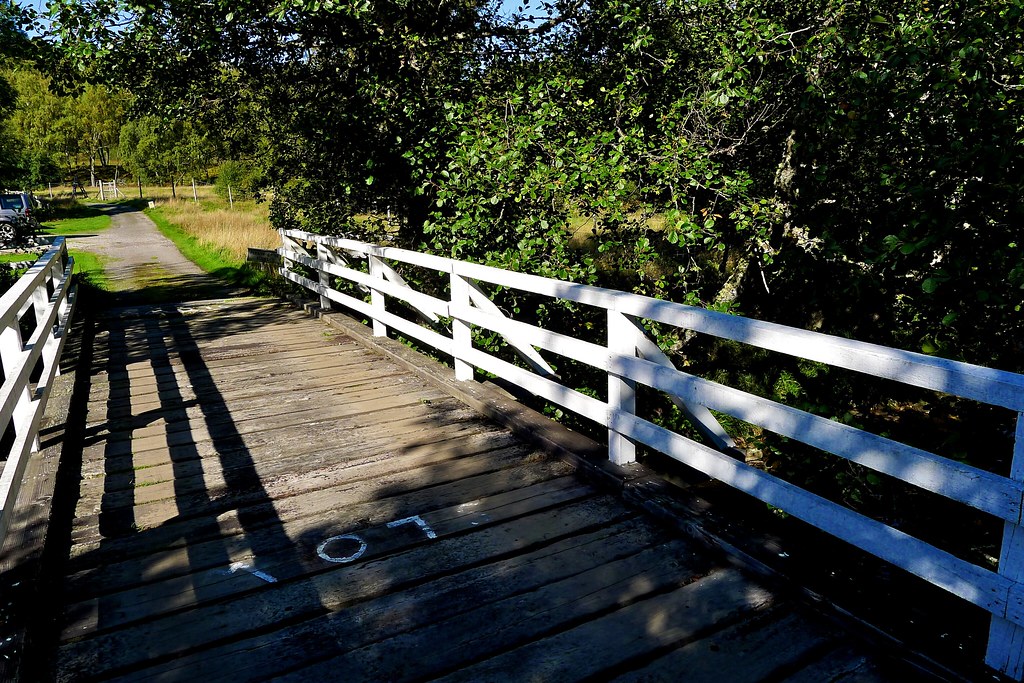
I said hello to a couple of dog walkers and then enjoyed the wander through the comparatively lush scenery of the glen. The tarmac soon gave out to a more grassy track and I made good time, passing the Scout centre and then crossing the River Lyon at the Bridge of Balgie, arriving at the tea room around mid-morning. A pot of tea and a large slice of delicious almond and pistachio cake were consumed in friendly, warm surrounds.
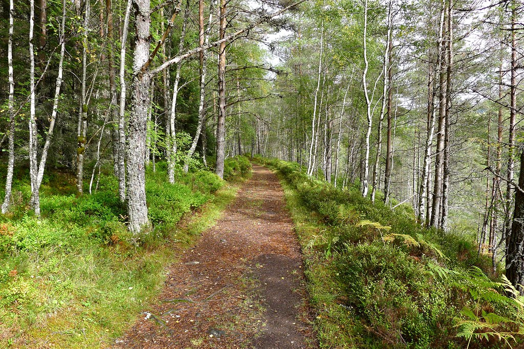
I’d noticed a sign for woodland walks and decided to follow one of these, rather than the road, around to the right of way leading to Loch Rannoch, my next destination. This proved to be an interesting diversion with a good path climbing steeply up above the tea room and then bobbing along through moist woods replete with many varieties of toadstool. Birds flitted amongst the trees and there was a steady drip as water trickled off leaves and brances. I followed a few turns and a gentle descent until I came out at the parking area and then it was a short road walk past the war memorial to pick up the old kirk road heading for Loch Rannoch.
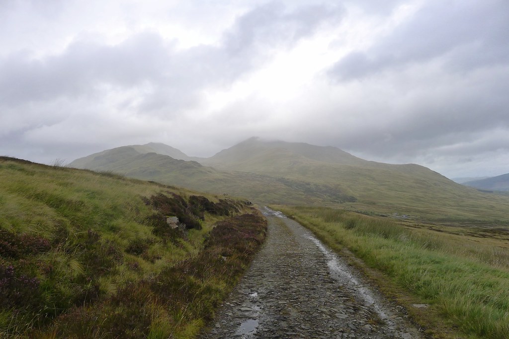
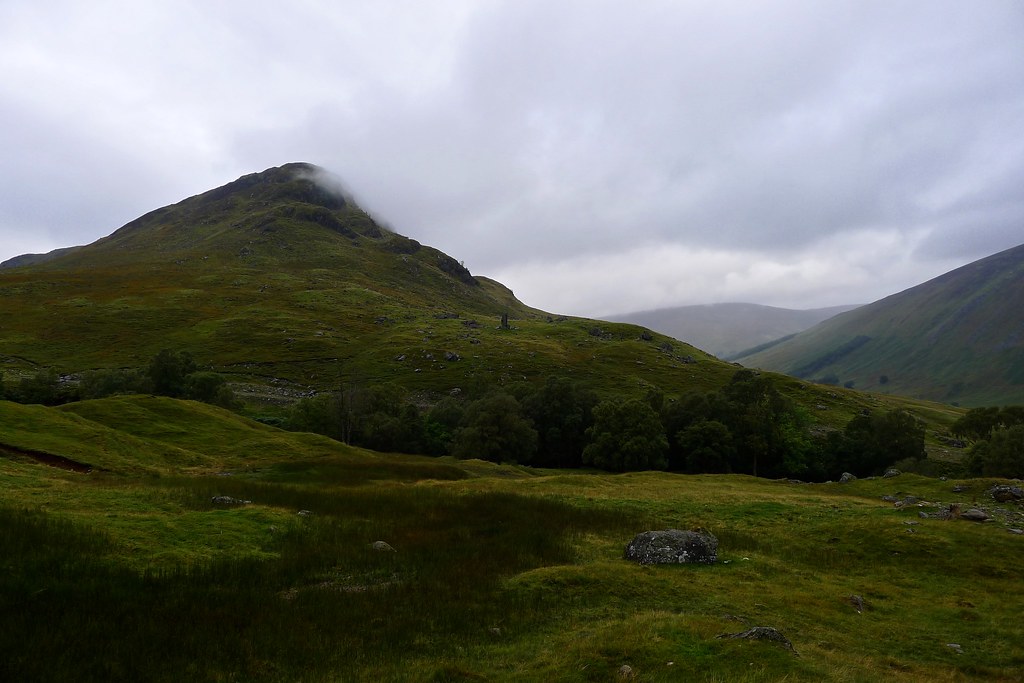
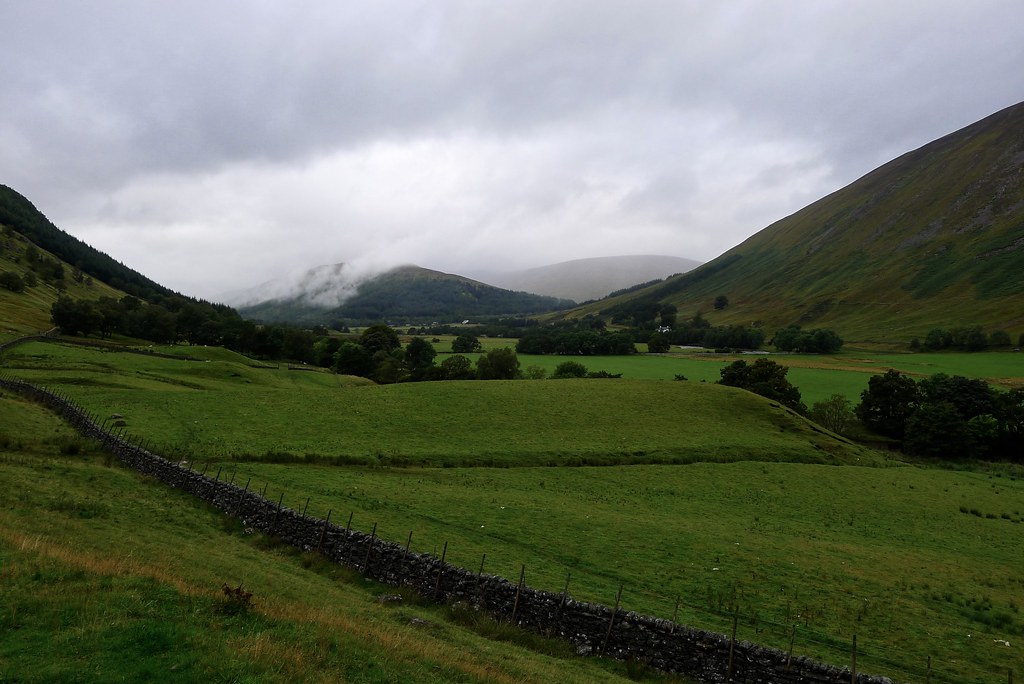
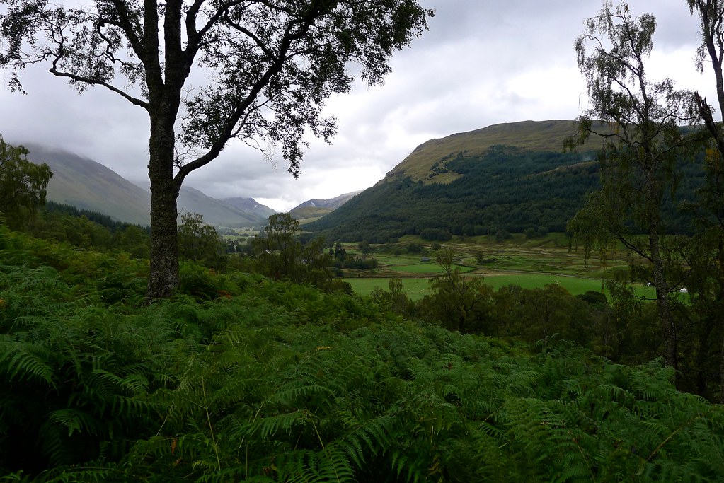
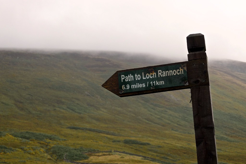
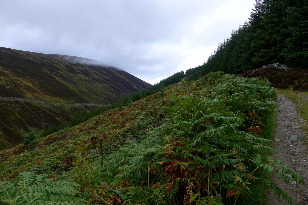
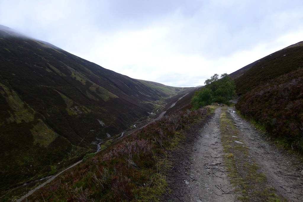
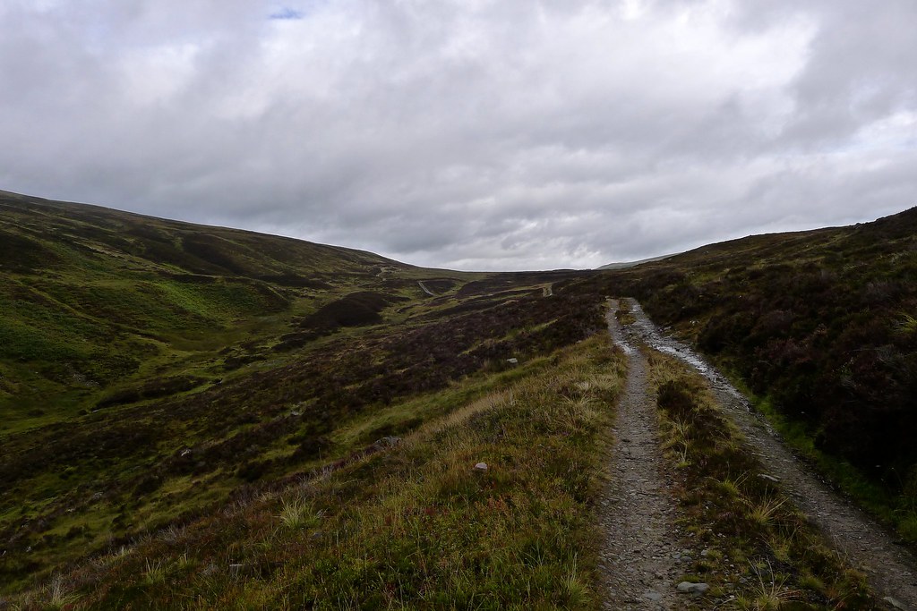
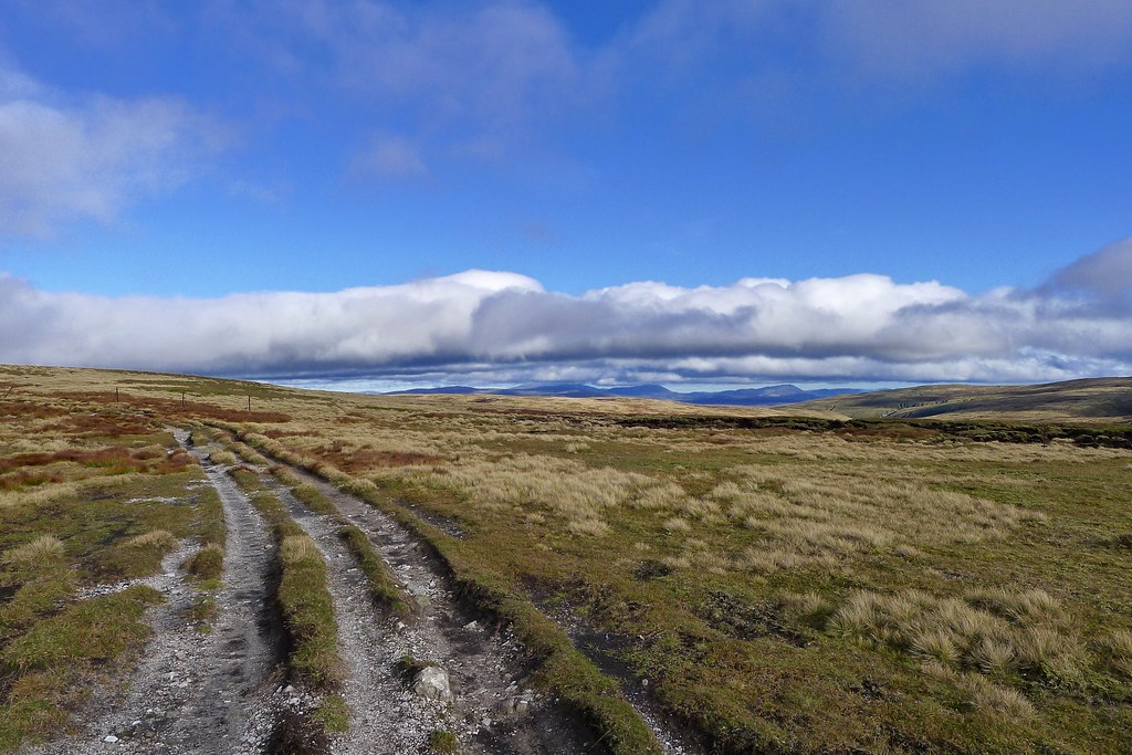
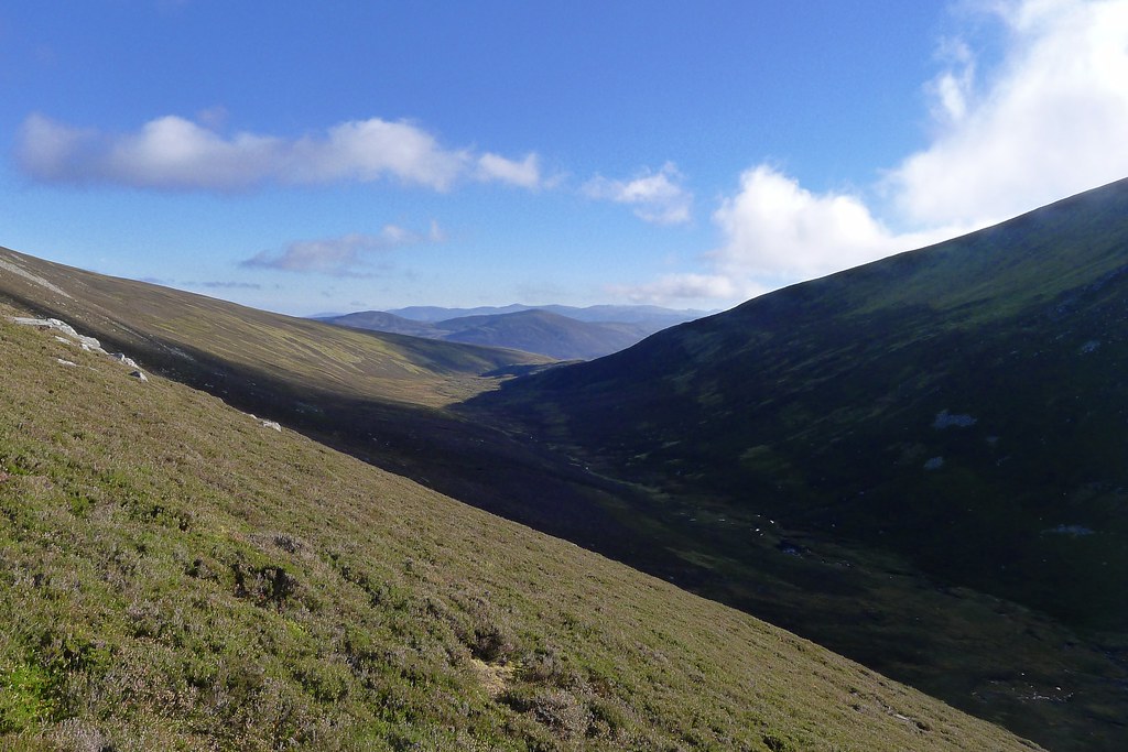
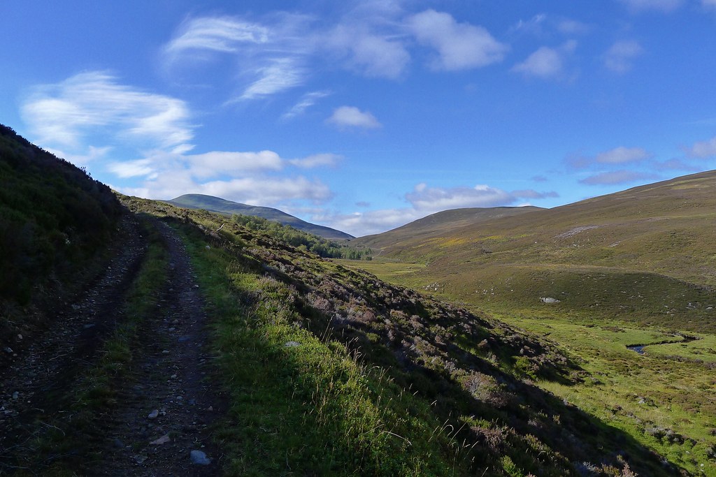
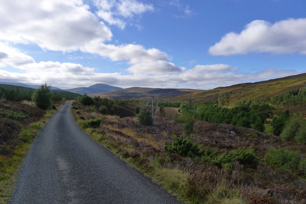
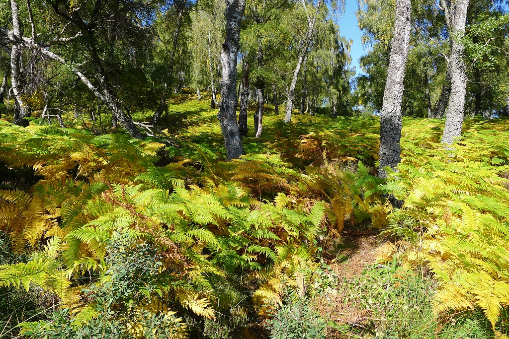
It was still gloomy but the drizzle had fizzled out as I followed the vehicle track up the glen with pleasant views to the rounded hills ahead. There was a hint of autumn with leaves and bracken yellowing. Beyond a plantation a junction took me northward again and the track climbed steeply above the allt running now far below in a narrow, notched glen between the hills. After the initial climb the going was easy and I ambled along through the Lairig Ghallabhaich to the bealach where it looked like there was more promising weather.
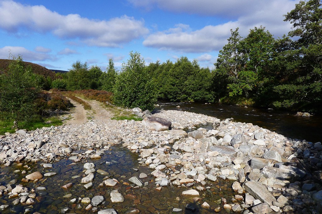
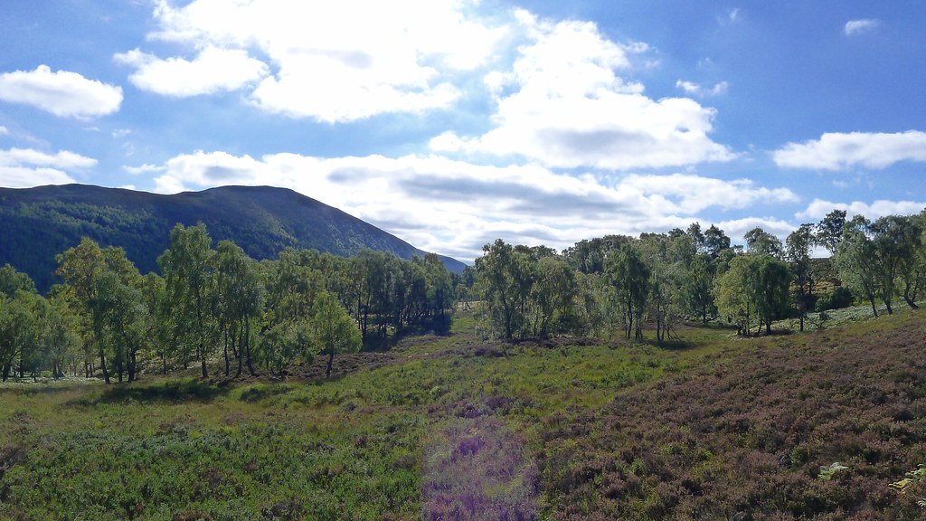
There were a couple of stream crossings to negotiate as I followed the track which enjoyed expansive views across the open moorland to the west of the Invervar hills. As I started to drop down towards the Black Wood of Rannoch I met a few folk including a couple who were pondering crossing over to Innerwick.
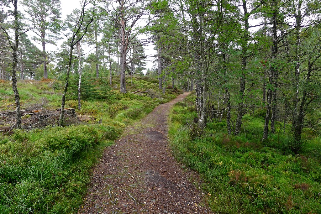
I dropped down and took a branch off to the right, joining a waymarked walk (part of the Carie Forest Walks) that took me down a delightful path high above the tumbling Allt na Bogair on a good path amongst the leaves. The sun was now shining weakly through high cloud and the day was mild. I said hello to a few daytrippers out following the waymarkings and was glad to reach the picnic area at the bottom of the hill where I made use of a bench to have a good sit down lunch as the sun shone down.
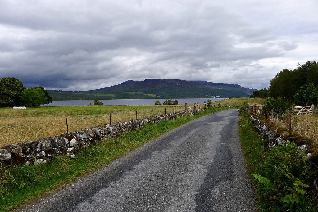
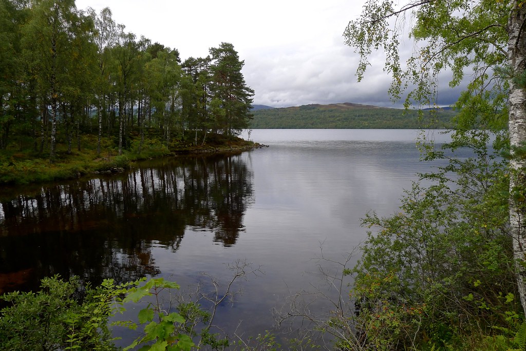
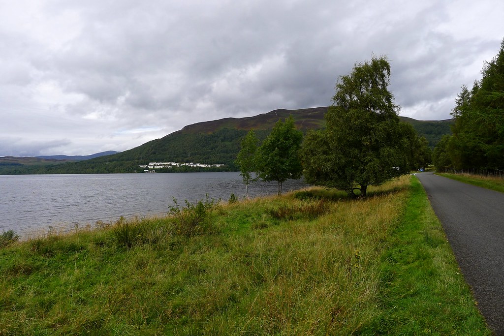
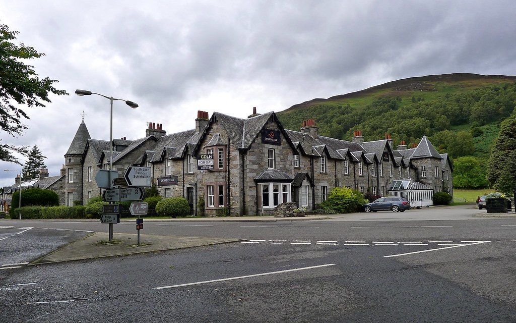
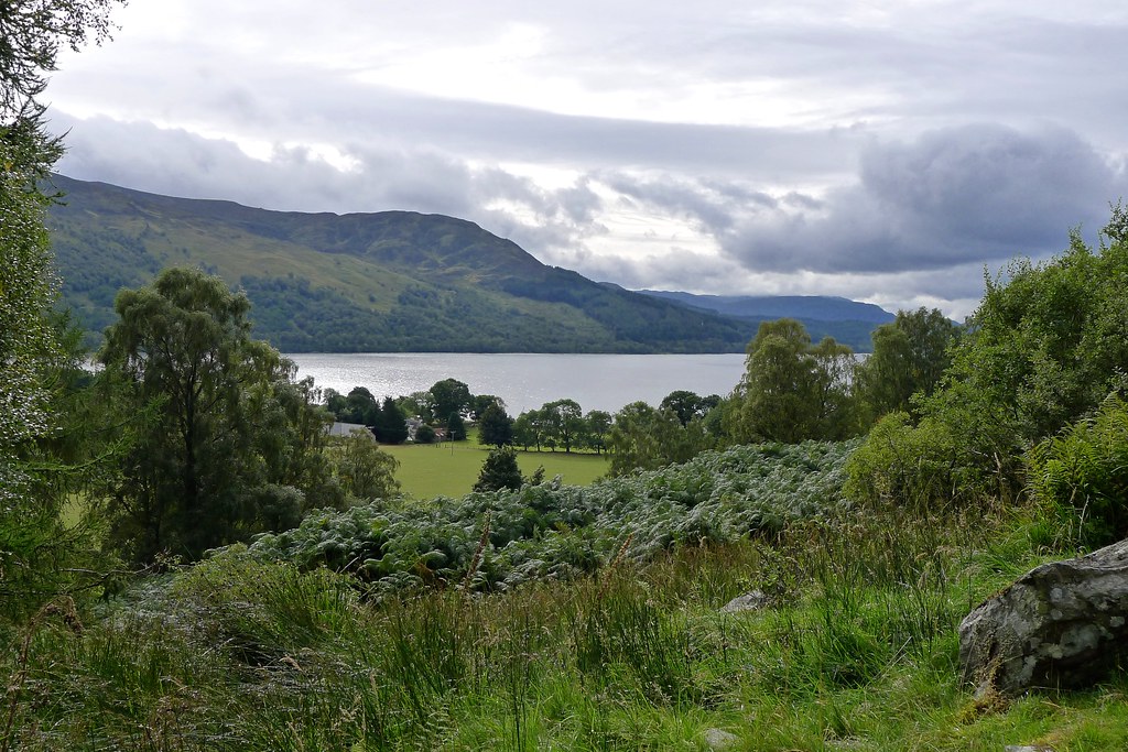
From here it was a bit of a road trudge along to Kinloch Rannoch. The road was quiet though and there were plenty of distracting views out across Loch Rannoch itself. I made good time, spurred on by the thought of a pint in the village, but sadly it seemed that the one establishment had closed down.
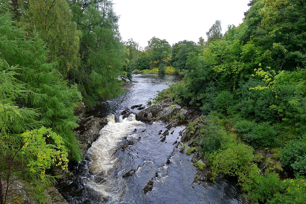
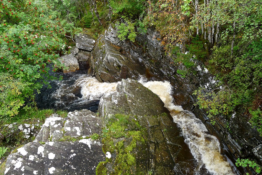
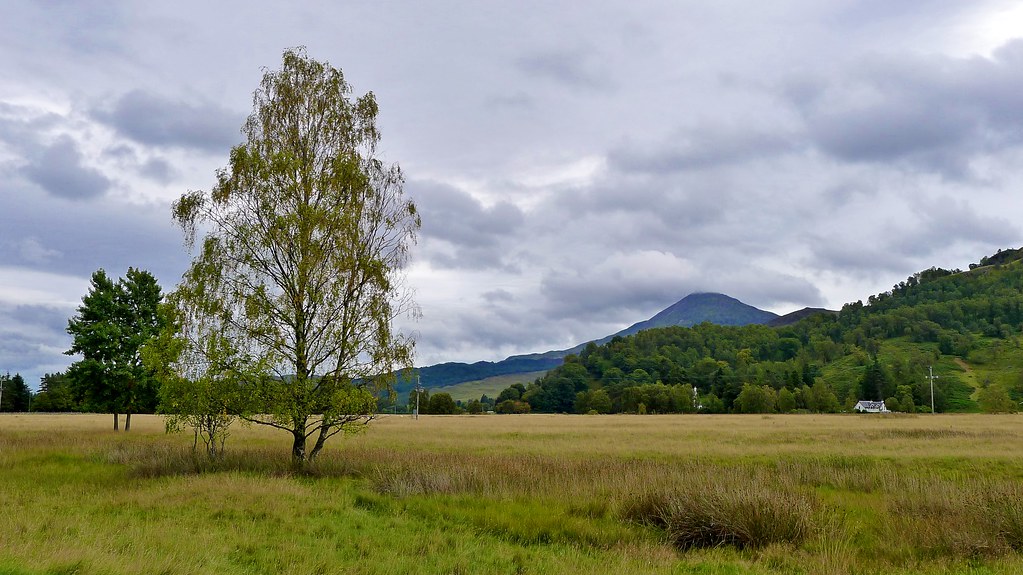
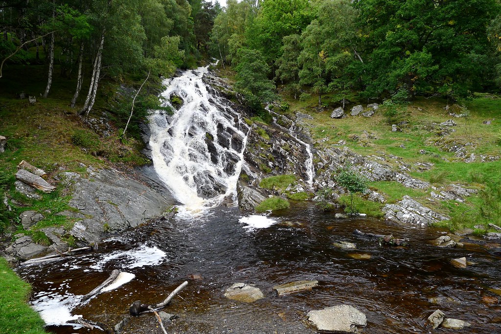
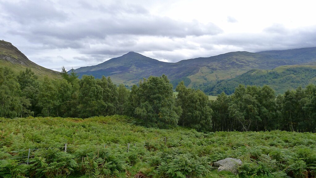
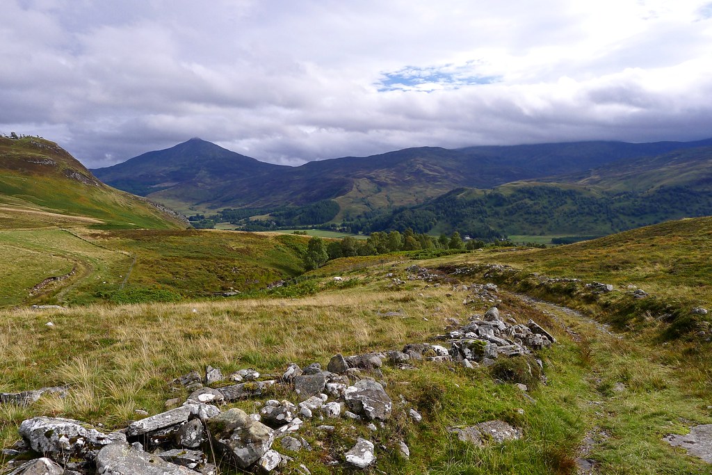
I found my way to the bottom of the Allt Mor falls which were spectacular as white water crashed down from high up the hillside. A forest track took me through the woods with the ever present roar of the falls off to the right somewhere. As I climbed the views back across the green strath improved and soon I had a fine view of Schiehallion, now free of cloud.
Above the treeline I found a pleasant stop for an afternoon snack, watching as the cloud once again started to thicken.
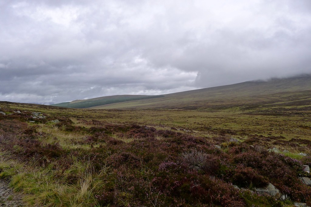
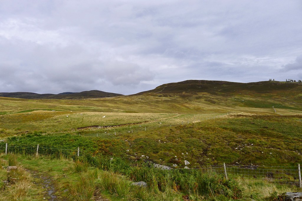
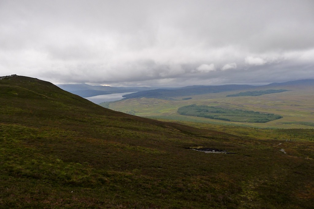
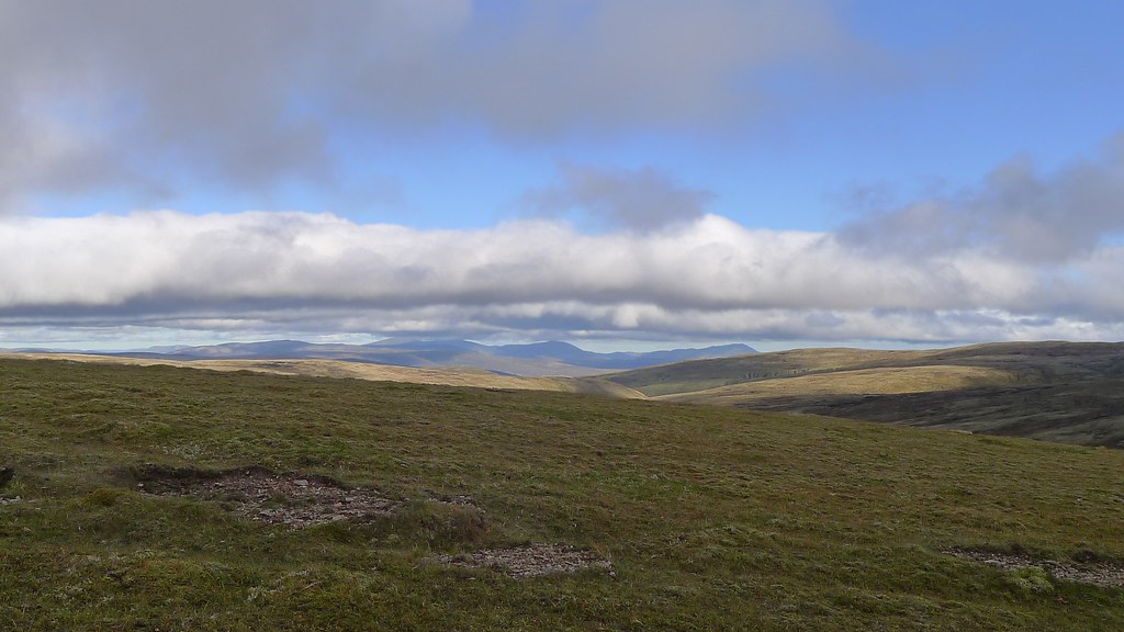
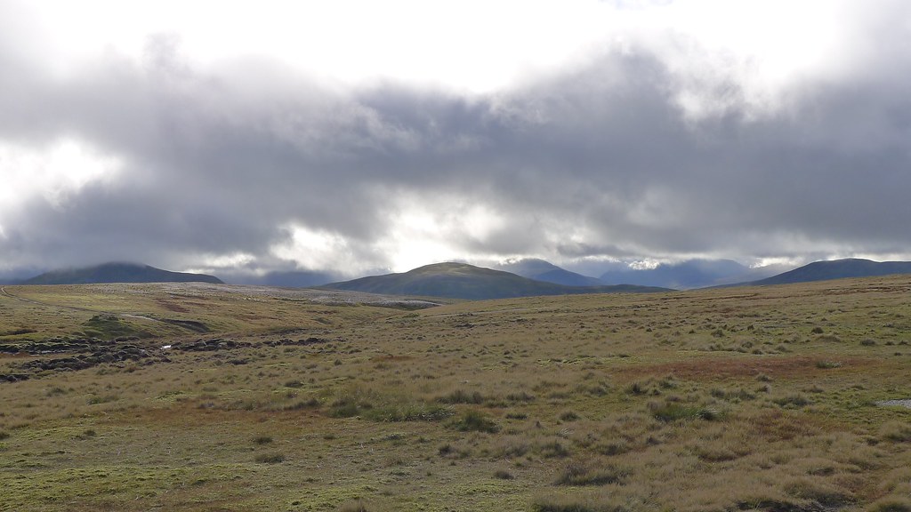
The track took me up towards the moorland east of the Corbett of Beinn a' Chuallaich, but as it became boggier I lost the way and ended up picking my own route up to the bealach which divides Rannoch from upper Glen Errochty. On the way up I came across ripe, juicy blaeberries amongst the heather and I enjoyed munching on these as I climbed up. Once I reached it the view from the bealach proved to be spectacular with Loch Ericht off to the northwest and hints of the Ben Alder group (backpacking trip report) visible beneath the increasing cloud.
After enjoying the views I followed a muddy path as it contoured eastward around the hillside above a plantation. Beyond this I dropped down to the glen floor, reaching the river at a point just east of the bothy at Saunich.
A short walk downstream brought me to a fine stretch of grass where the tent was soon pitched. Nicole had come this way during her TGO Challenge this year and pointed out the good wild camping opportunities. She definitely wasn’t wrong and I was happy to get pitched in the comfort of the glen, sheltered from the increasingly unpleasant elements.
As with the previous night I barely had any chance to settle in before the rain started once again and I retired inside for dinner and more of my book.
Day 3
The next morning dawned with little improvement. Drizzle and rain had been constantly falling through the night and everything outside was just that bit damper. It was Sunday though so I had a bit of a lie in and didn’t get going until just after 9.
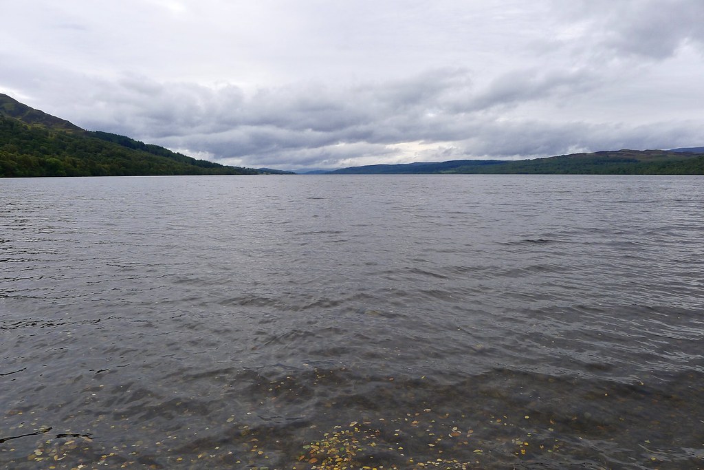
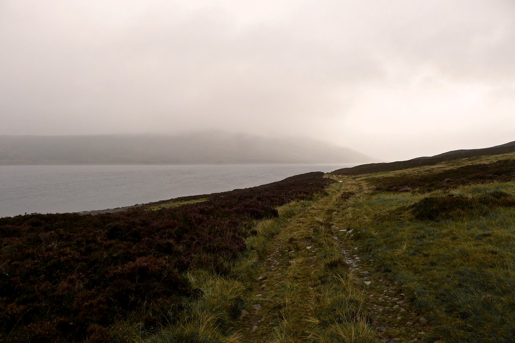
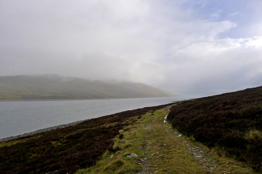
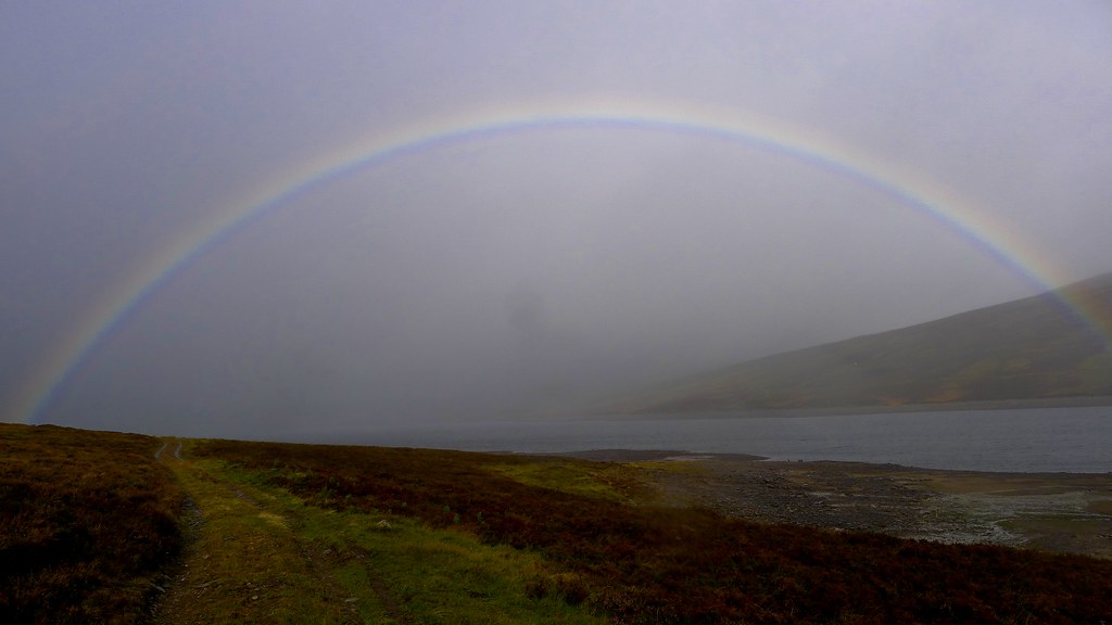
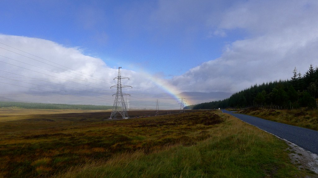
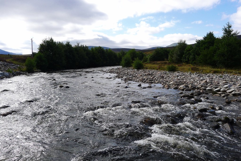
With no clear path to follow I just headed down the glen alongside the allt. Just before I reached Loch Errochty a bridge appeared and a vehicle track began which enabled me to quicken the pace as cold showers continued to blow in from the west. As I followed the southern shore of the loch promising breaks began to appear in the sky and suddenly there was a rainbow arcing across the ruffled grey water.
Around a corner I came across a couple of guys camping. They had driven a truck down the lochside track and had a huge tent and lots of accessories. I had a quick chat but the rain came back on so I drew my hood back up and continued on.
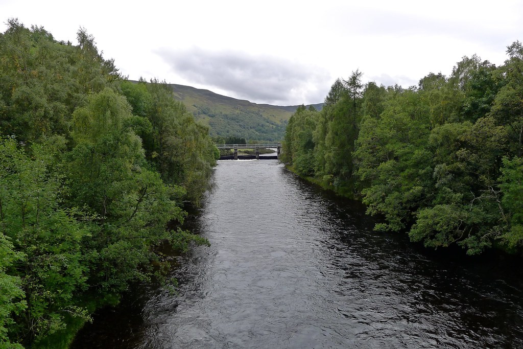
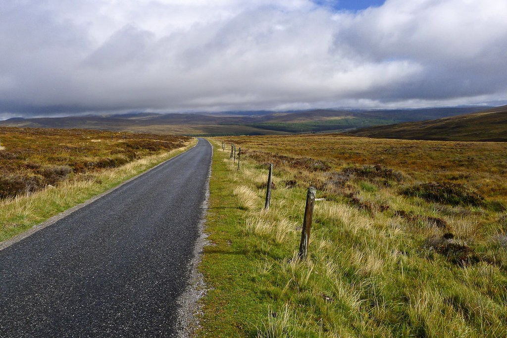
The final stretch along the loch winds through the trees before bringing you out above the dam. I wasn’t sure if it was open but I went down to investigate and found the gate unlocked. I strolled across the dam to reach a service road on the far side. This led me to the trip’s final significant stretch of public road walking, taking me roughly north along the route of a Wade Military Road to the A9 and the southern approaches to the Gaick hills.
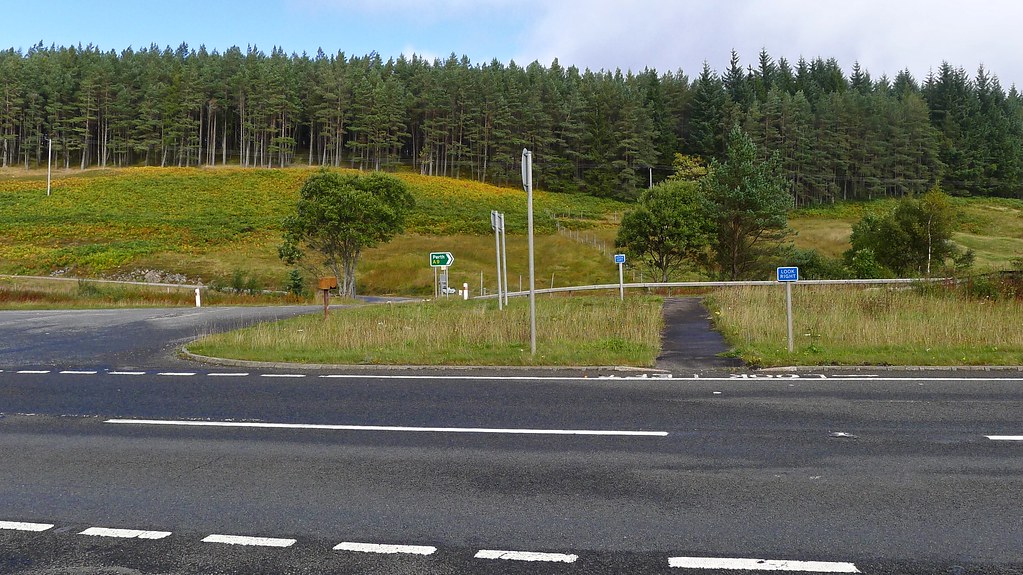
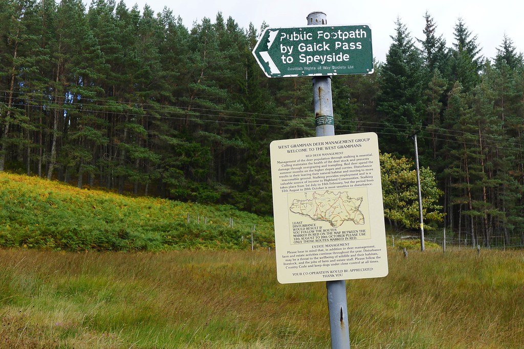
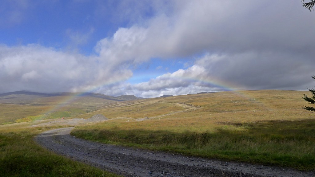
The weather continued to be mixed as I ascended to the high point but more rainbows came out to liven the view and again it was a very quiet road. There are new pylons along here so the whole place is a bit of a construction site but as I started to drop down towards the River Garry the scenery opened up and sunlight illuminated the southern aspects of the Gaick hills. I entered the Cairngorms National Park and made light work of the A9 crossing to reach Dalnacardoch woods.
A short stroll through the woods brought me out to a point where I had a good long view up the length fo the Edendon Water and here I paused for lunch. There was a mobile phone mast right by the track so I had the opportunity to send a few messages, post a photo and check Twitter.
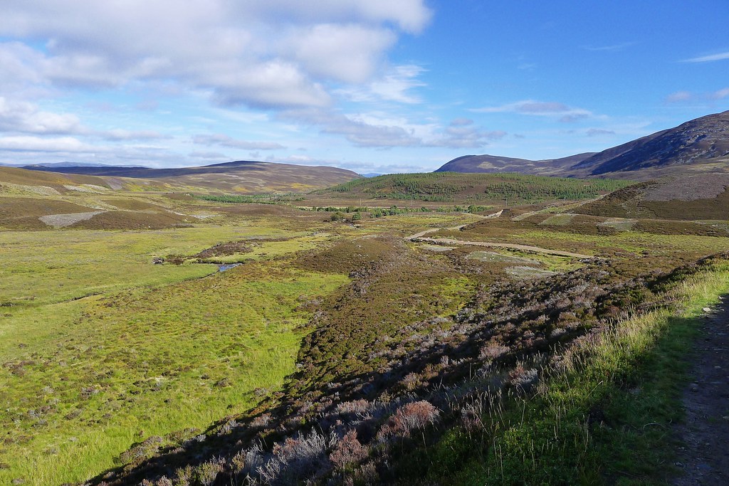
In increasing sunshine and warmth I strolled up this long glen wih the wild looking hills getting ever closer.
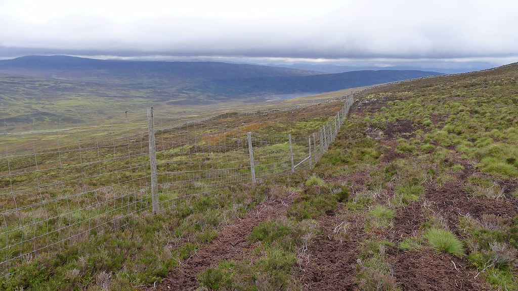
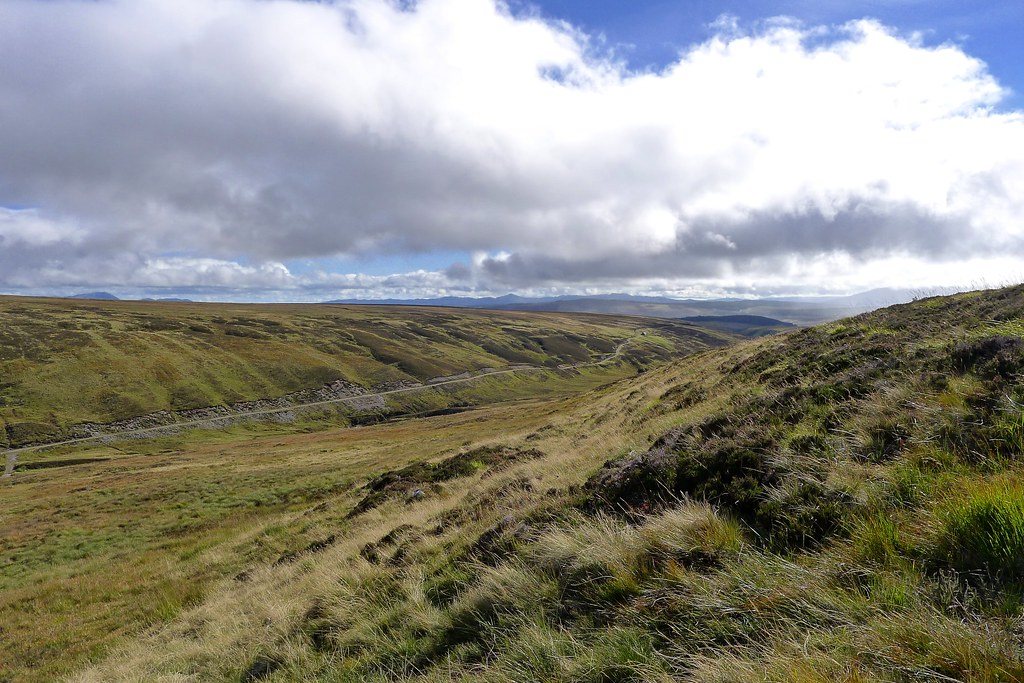
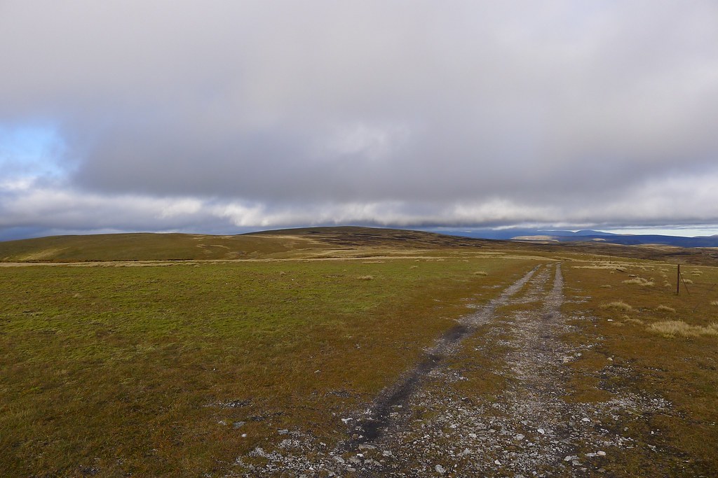
After crossing the river beyond an abandoned building I left the main track and followed a muddy Argocat track up the side of the hill, aiming roughly to ascend to the top of Glas Mheall Mòr via the lower hills above Sronphadruig Lodge. The way was boggy and a little tiresome but the views and weather improved.
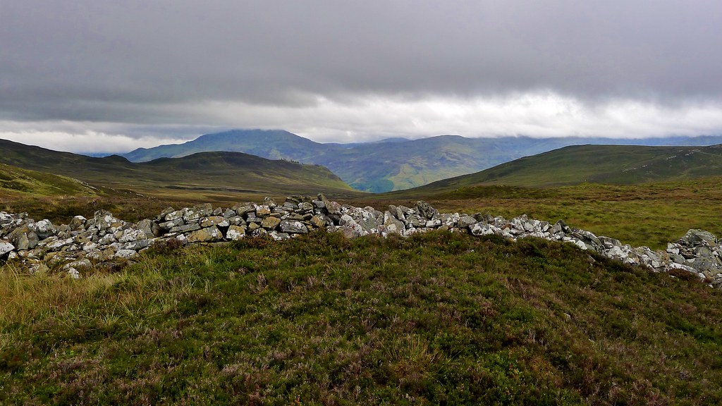
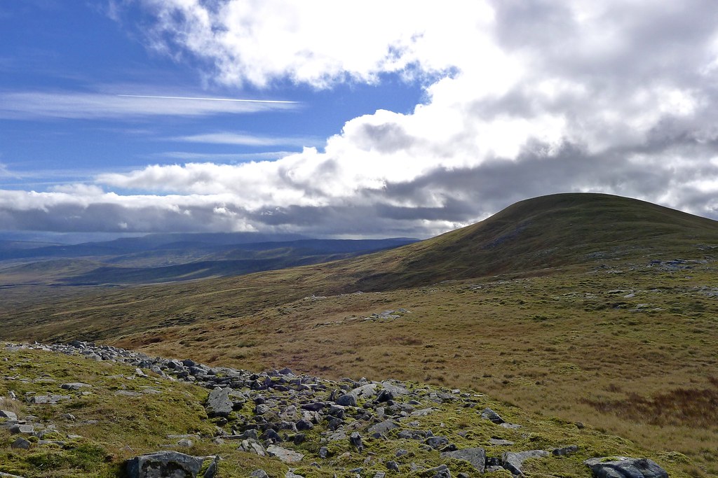
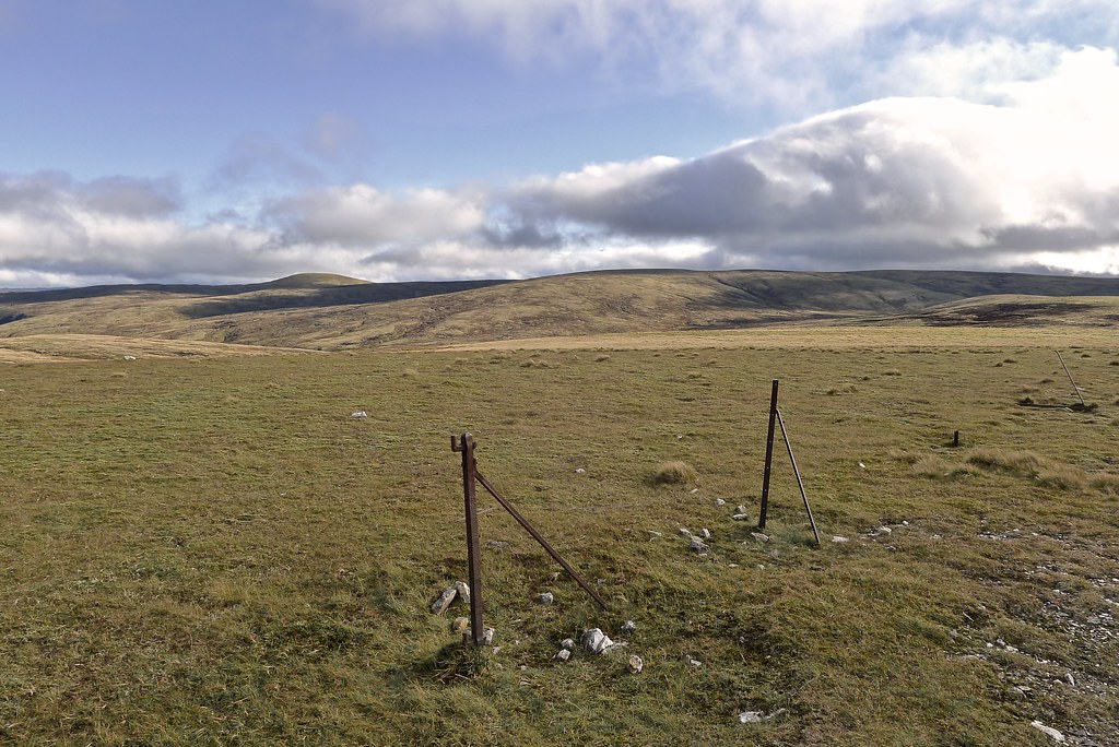
As I ascended though I found an incredibly strong wind blowing that slowed down progress despite reaching firmer ground. I battled against the wind, eventually making it to the top of Glas Mheall Mòr which was bathed in beautiful afternoon sunshine.
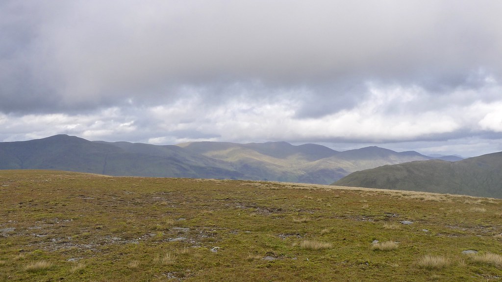
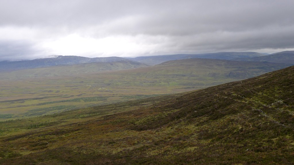
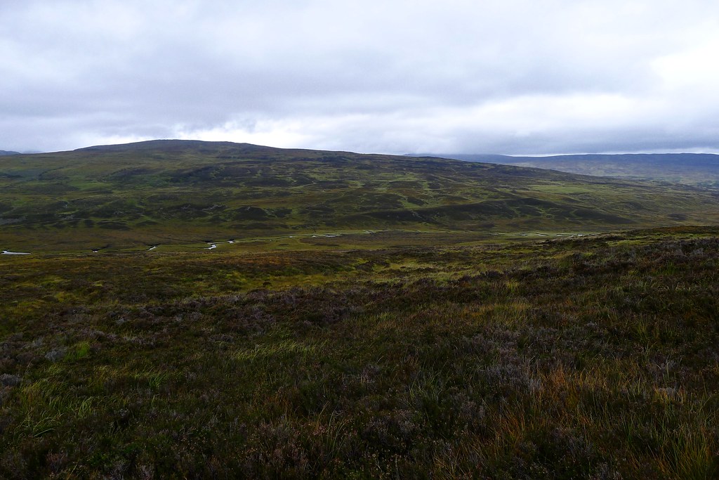
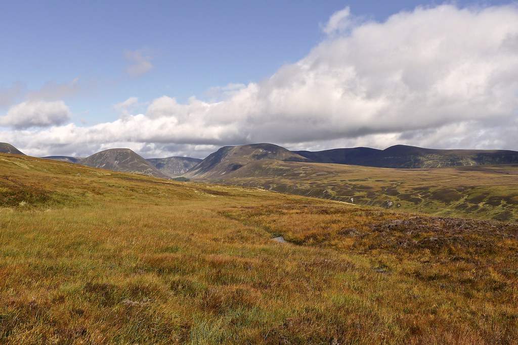
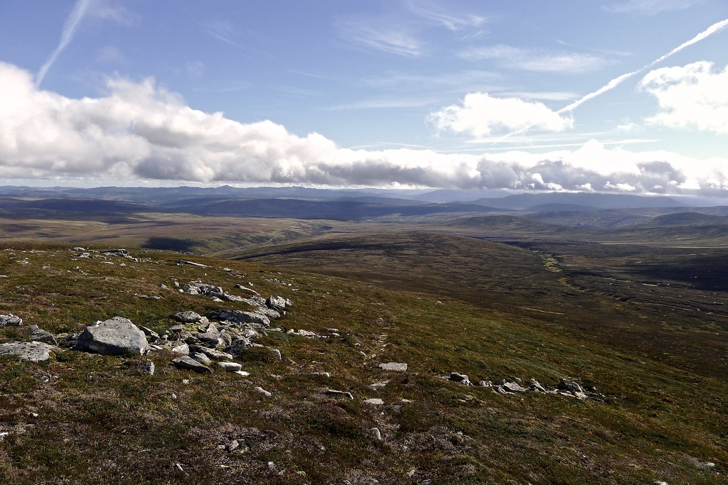
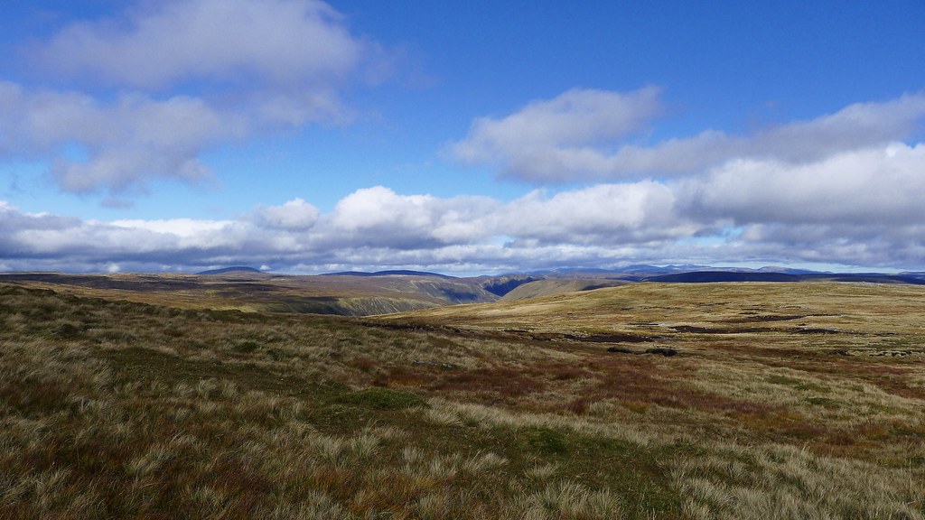
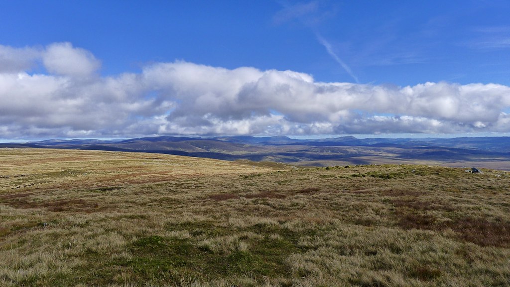
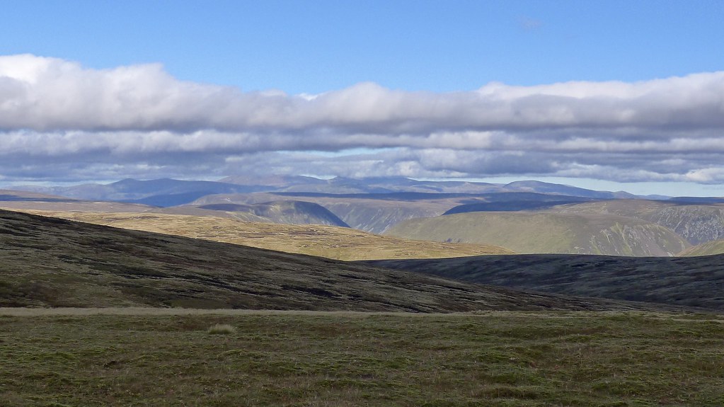
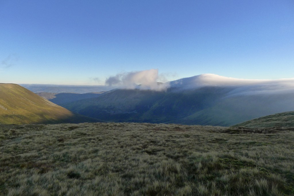
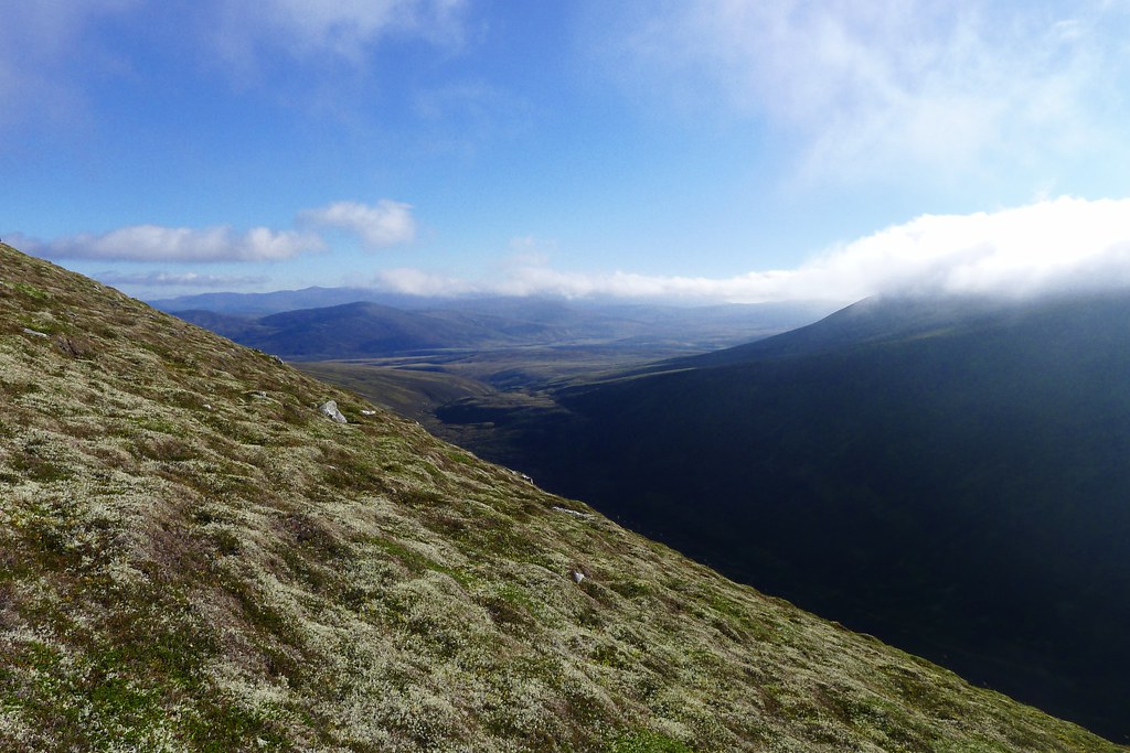
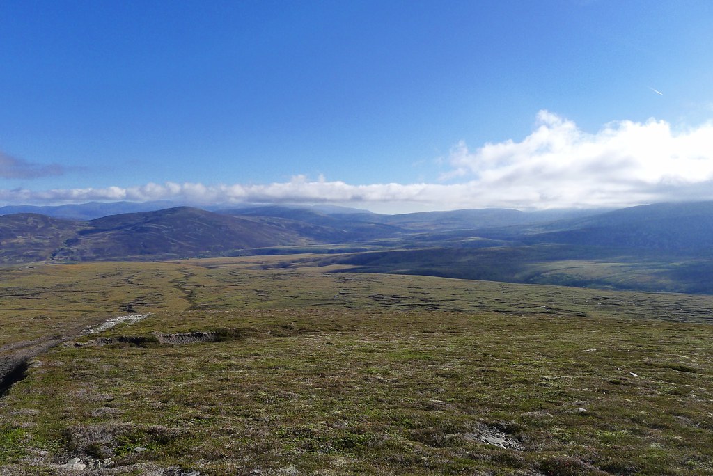
From here the views were glorious encompassing the wide sweep of Highland Perthshire to the south, and the mooorland to the north with the three Gaick Munros rising out of the heathery swell. Away to the northeast I got my first glimpse of the high Cairngorms.
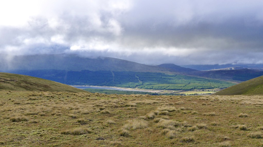
It was a steep descent down to the next stream crossing before I started the long rise back yp to the Munro summit of A’ Bhuidheanach Bheag. On the way there were fine views west to Loch Garry which was catching the afternoon sunlight as clouds continued to swirl around Loch Ericht and the Drumochter Hills (day hike report).
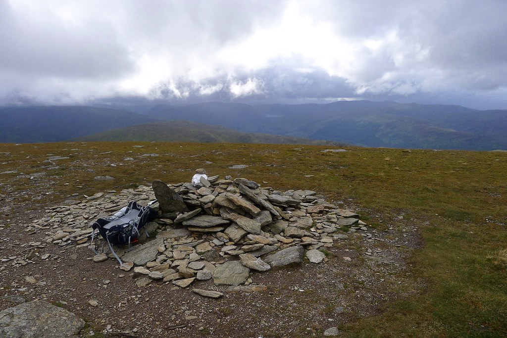
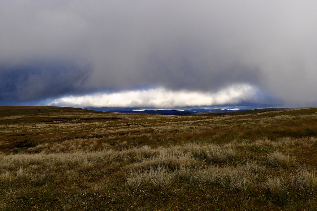
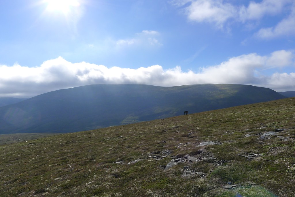
I arrived at the Munro summit to find it deserted, a chill wind blowing, though certainly less ferocious than it had been an hour before. Sunlight was catching various hills to the east whilst off to the west stunning crepuscular rays cascaded down through dark clouds.
From here it was a high route taking me around the eastern end of Cama' Choire and across various minor tops to reach the second Munro of Carn na Caim perched high above Newtonmore and Speyside.
The weather was closing in as I reached the summit and the last of the views faded just as I reached the summit cairn. It had been a long day and the third Munro still looked a long way off.
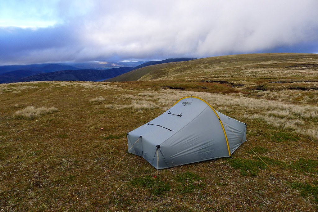
Rather than trooping off towards it I decided to make the most of the calmer conditions and get the tent pitched. With the wind blowing in from the west I descended the gentle eastern slopes of Carn na Caim and found what seemed a sheltered spot on a high perch above Coire Cam with views out to Newtonmore in the distance. It was pretty calm and I got the tent up and a brew on.
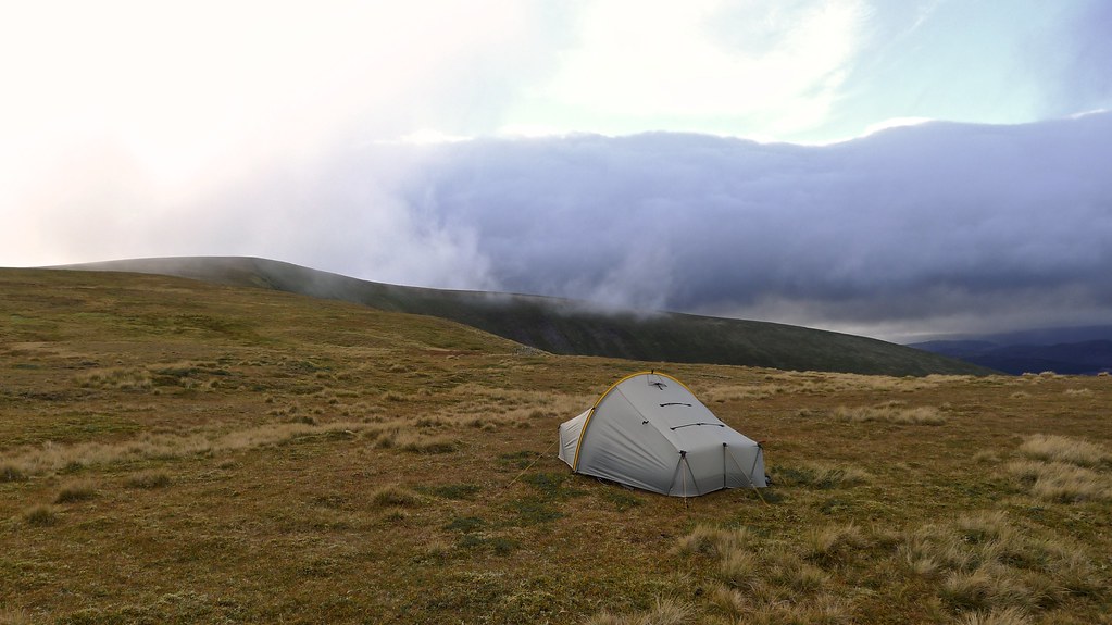
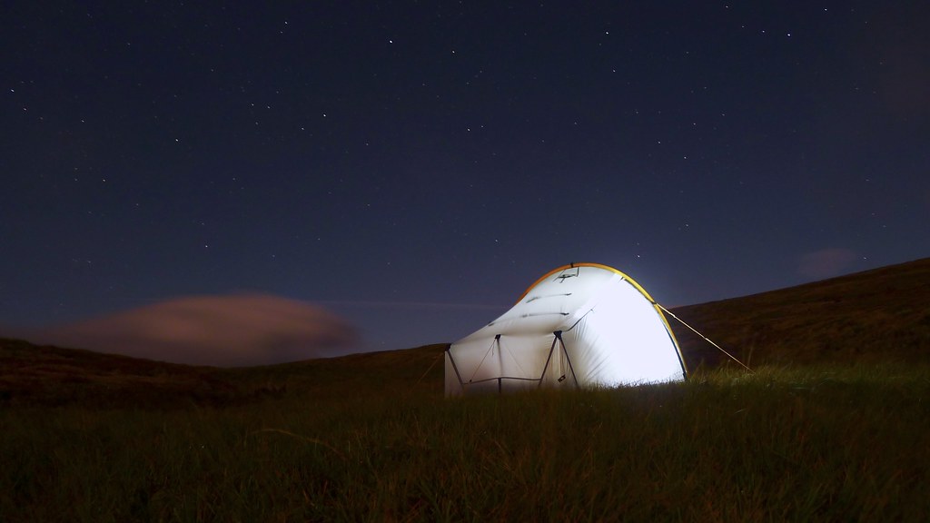
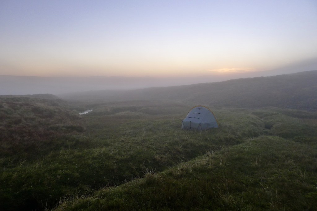
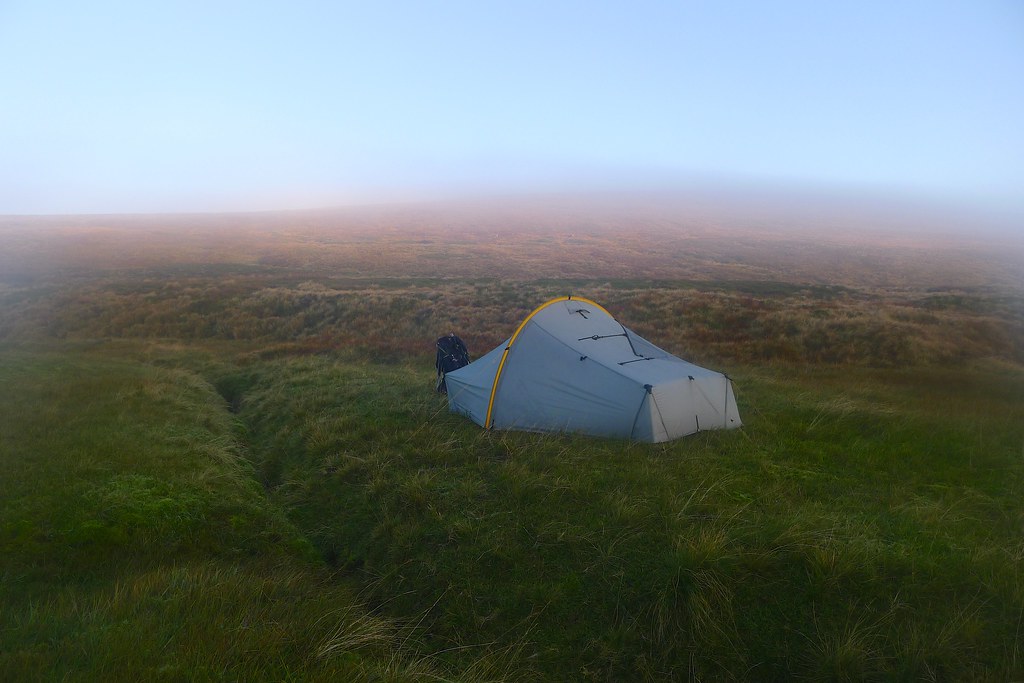
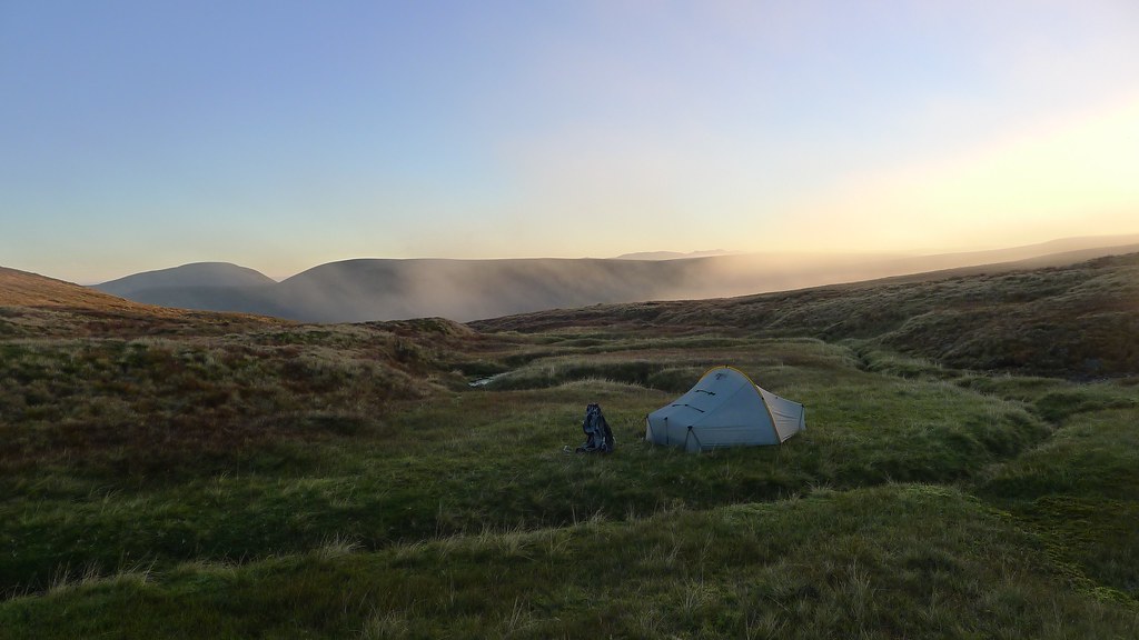
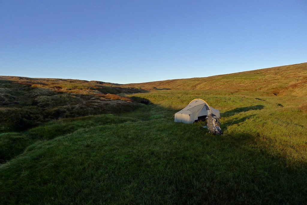
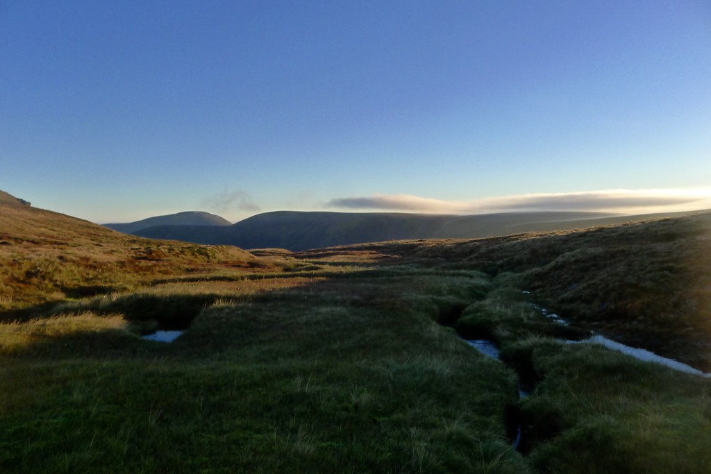
Sadly, as I was drinking my tea a sudden change in the weather happened - a band of clouds rolled in accompanied by ferocious gusts of wind. The tent shook and buckled and my lofty perch suddenly felt very exposed. Rather than face the possibility of a broken tent I packed everything up, donned my headtorch and in the fading light headed downhill to the east, just beyond the next rise in the plateau. I soon found what I was seeking, an infant stream winding its way down towards a drop off into Coire Chais below. Here between releatively high banks was lush green ground and I got the tent pitched again. I could hear the wind tearing across the tops just above me but I was much more sheltered and, finally settled, I could get dinner on and relax after another long old day.
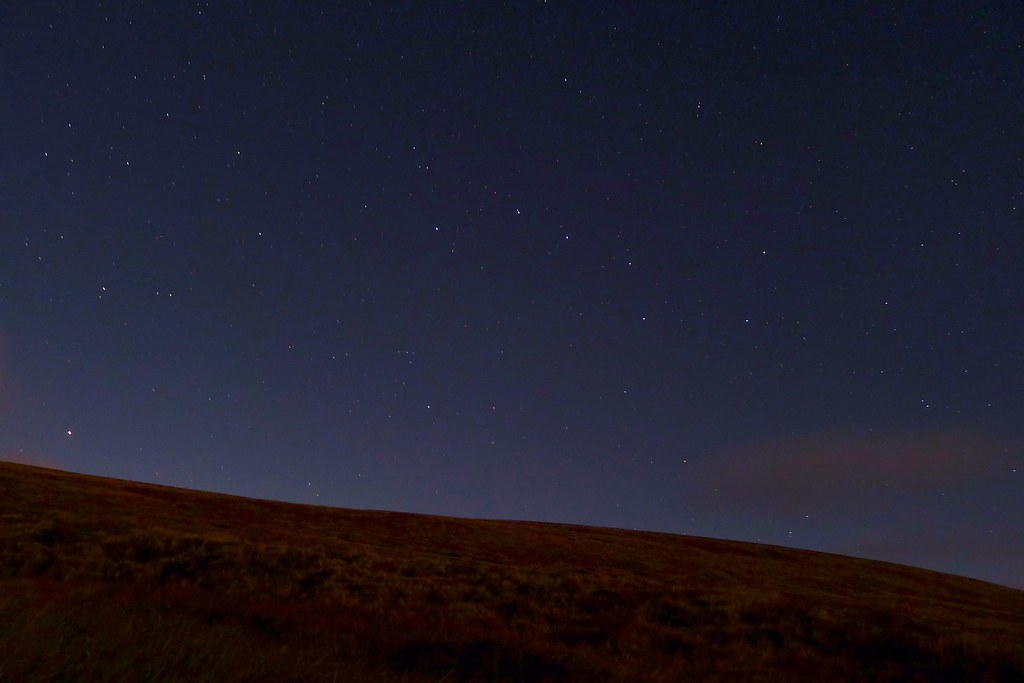
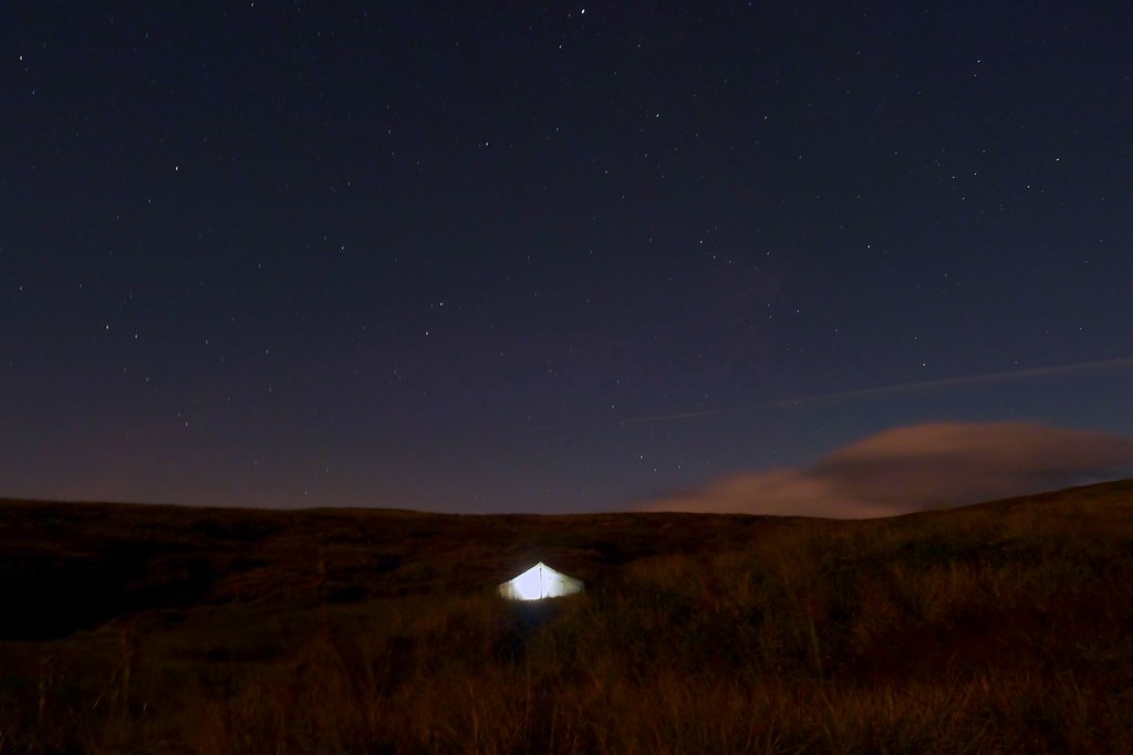
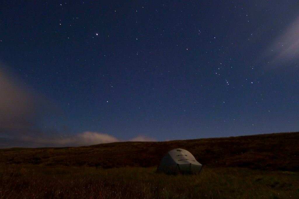
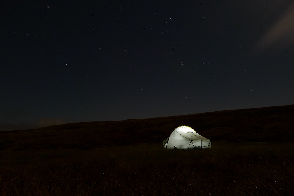
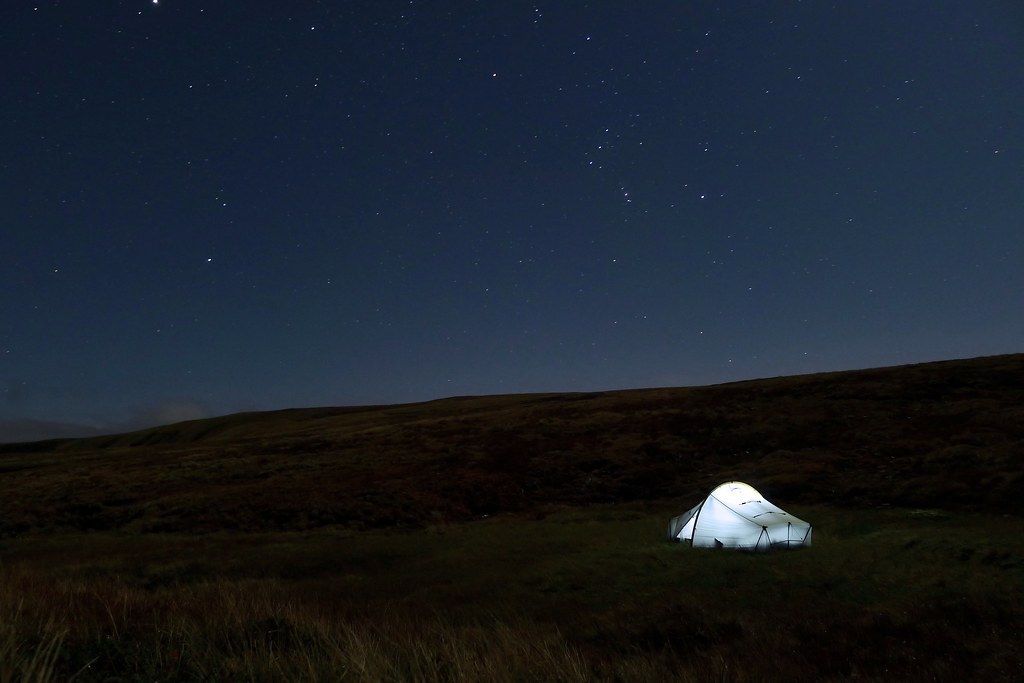
After dark the wind seemed to drop almost completely and I emerged from the tent to find a beautiful starry sky, the odd cloud clinging to the Cairngoms off to the east. Ursa Major gaurded the north whilst in the south a waning moon shone out illuminating the landscape. The Summer Triangle stood respendent high over head. I must have spent half an hour just quietly watching the slow drift of the stars, my eyes adjusting to the moonlight and the quiet calm of the night.
I got some sleep but couldn’t resist another peek at the stars at around 4:30am. The seasons had shifted and now Orion marched across the southern sky, my first view of this harbinger of winter. The clouds had largely disappeared and there was a flat calm across these wild, empty hills. There was not a single hint of any other human presence in my wide field of view and I felt priviledged to be here in this quiet corner of the universe.
Day 4
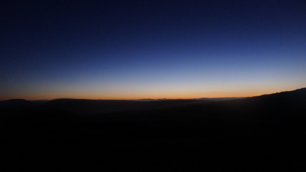
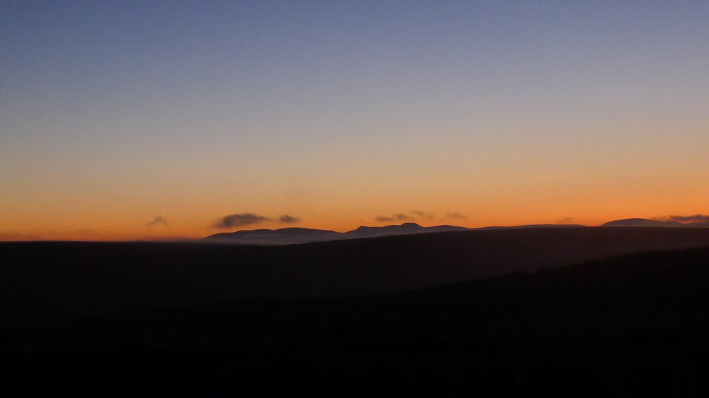
I set my alarm for predawn and snuggled back into my warm down sleeping bag. When I was woken by my phone an hour or so later there was a dusky glow to the eastern sky and as I watched from the warm comfort of the tent the silhouetted shapes of the Cairngorms emerged, only to be lost as a haziness filled every hollow.
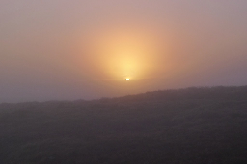
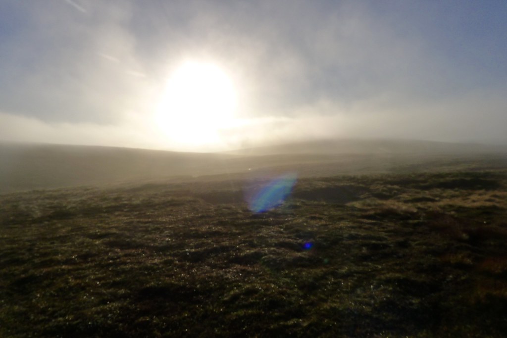
It was a chilly start to the day but a cup of coffee warmed me up as I watched the cloud thicken and thin, the light shifting as sunrise approached. Finally the sun crested the hill and began to warm up the day. Everything was utterly drenched in dew after the calm conditions over night.
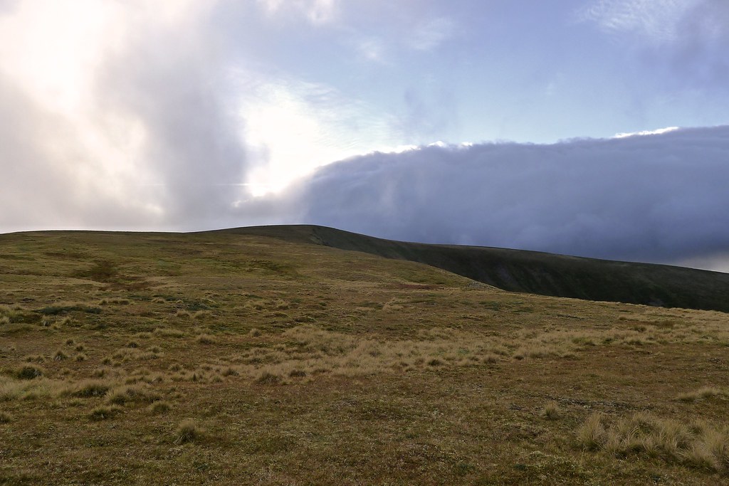
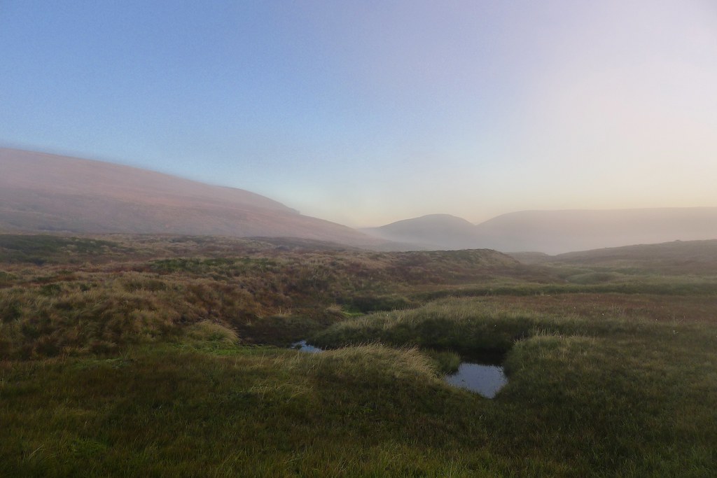
As the temperature rose I got everything packed up and headed off into the misty morning. Cloud was rising and falling as the air temperature changed but up on the plateau it was more often misty than not.
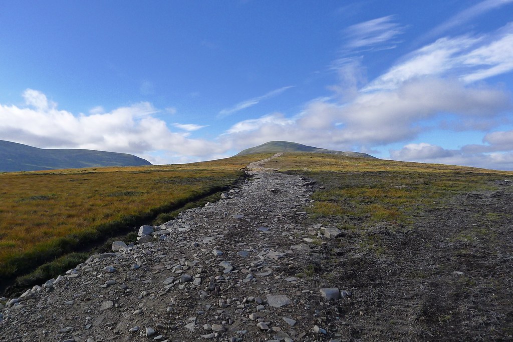
With a high start there wasn’t much height to gain and I could just follow the undulating lip of Coire Chais as it headed first east and then north. There was no really convenient direct route to the next Munro but I had decided it was better to stay high rather than drop down towards Loch Cuaich.
The morning was beautiful with the sun shining weakly through the haze and occassional snatches of most distant views. It was warming rapidly and the ferocious wind of the previous evening was a distant memory.
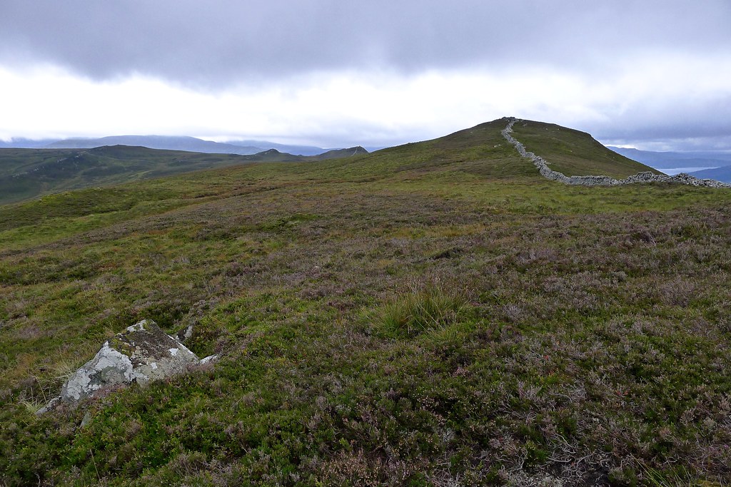
I passed over a few lumpy tops separated by delightful stretches of swampy bog that required some careful footwalk before reaching the short-clipped heather and moss that marked the summit of A'Mharconaich.
The views still weren’t great but the cloud definitely seemed to be thinning and I was hopefuly of getting a view from the trip’s final Munro. There is now an interesting stretch which belies this area’s dull reputation. A narrow path descends to the col below A'Mharconaich and follows a high route perched above the crags of Coire Chuaich, the coire floor a long way below The ground is treacheroulsy steep but the path is surefooted and soon starts to descend through heather, making a couple of zig-zags before dropping you down gently at the bealach below Bogha-cloiche and Meall Cuaich.
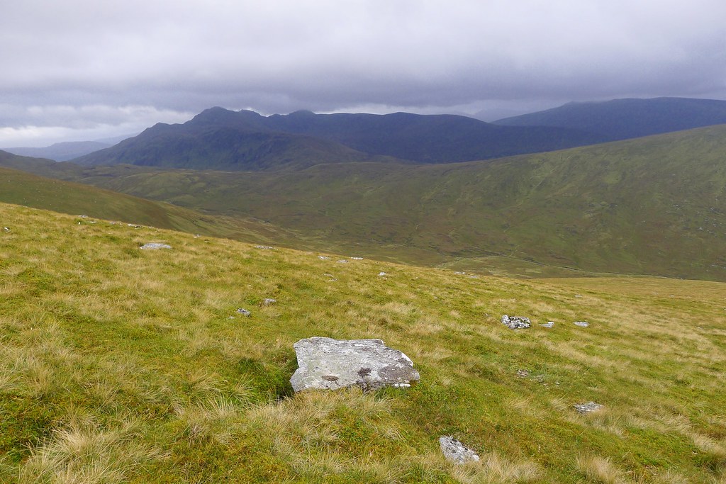
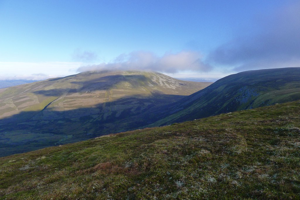
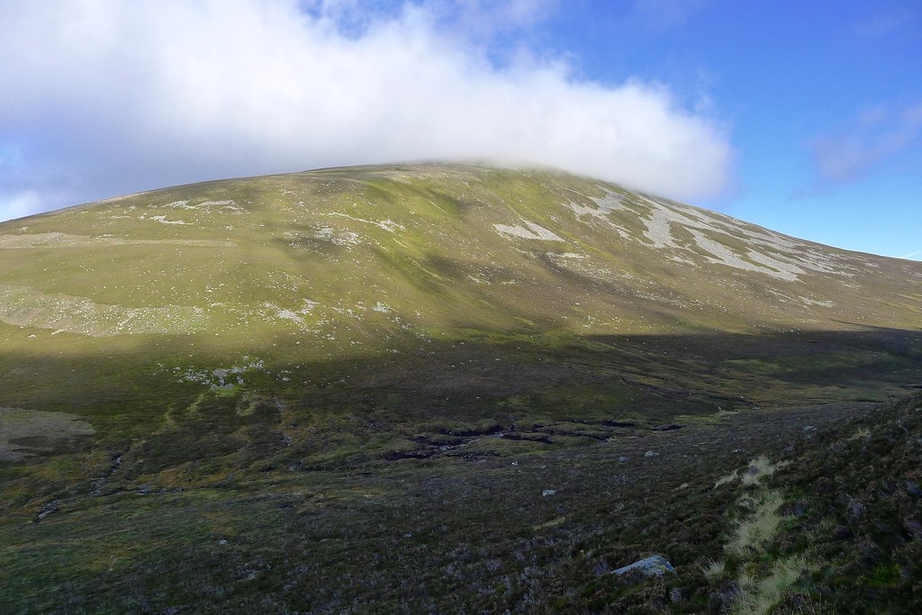
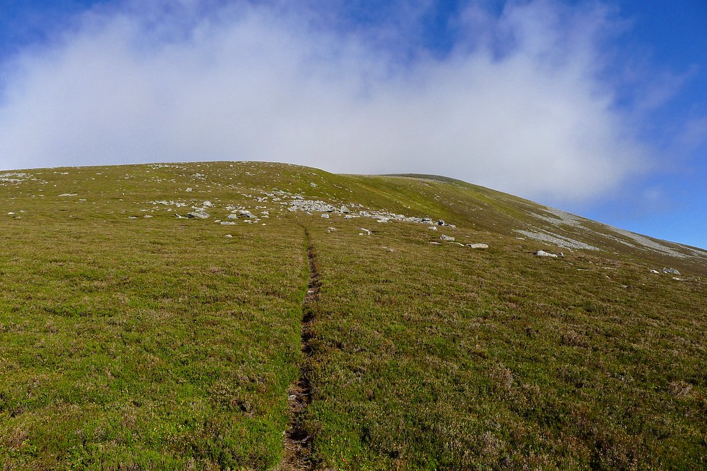
Down in the sunshine it was warm and I followed a narrow track up the steep southeastern flank of the Munro. As I climbed the views up the wild headwaters of the Allt na Fearna opened up with the Cairngorms once again clearing of cloud.
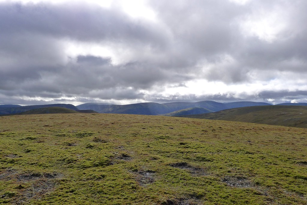
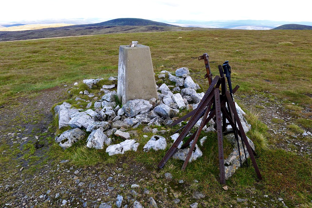
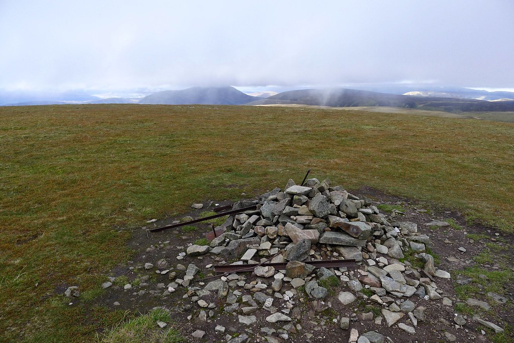
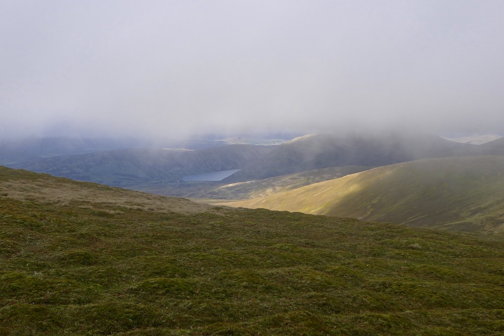
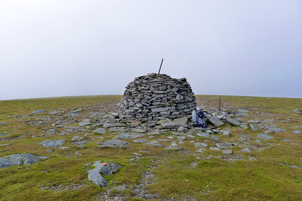
Sadly my ascent brought me back into the cloud and after reaching the broad ridge and making it to the top there was no rewarding view from the large summit cairn.
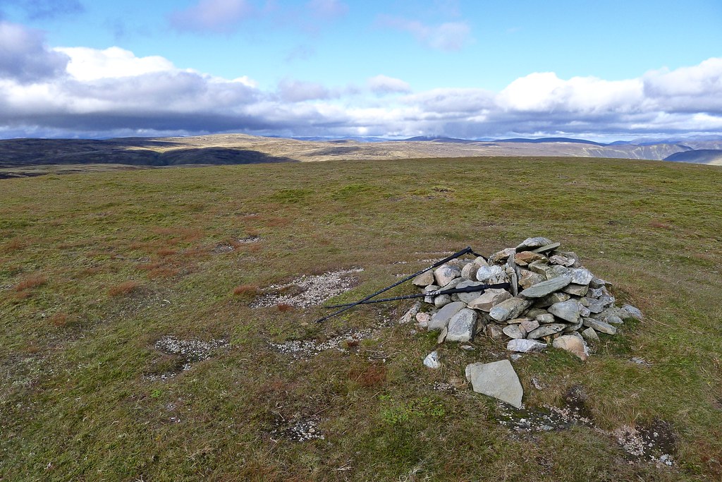
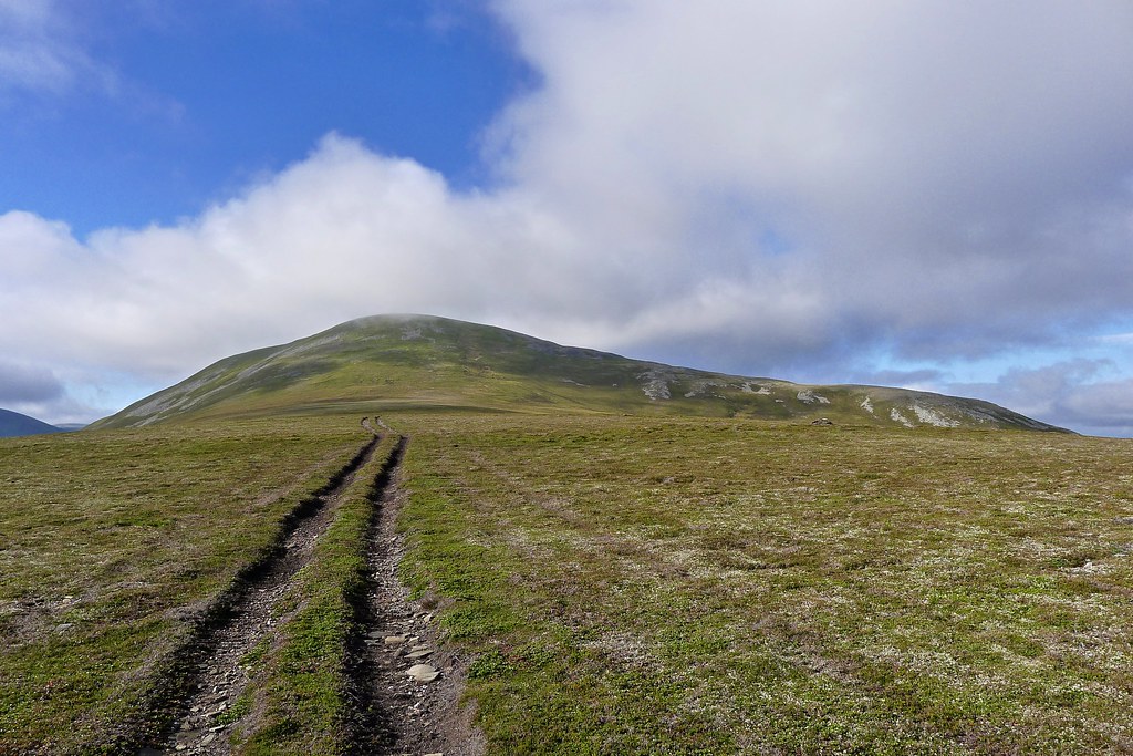
I hung around for half an hour so, hoping that the thin cloud might clear but it never did and after a snack I decided to get moving again. Now I was heading north, dropping down a shallow slope first before a steep bouldery ascent got me down onto a snaking vehicle track winding its way along the Glen Tromie. On the steep descent I managed to put my foot on a boulder covered in moss and lichen and my foot slipped. I caught myself with my pole but in the process it bent and then snapped.
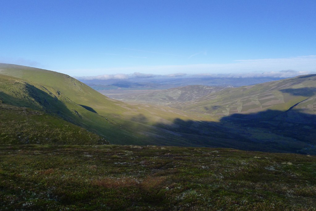
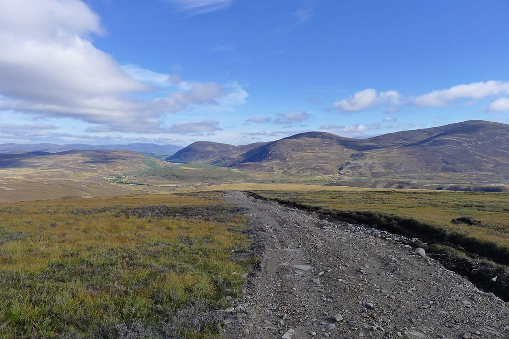
The going was mostly easy although short stretches where numerous vehicles had churned up the track into more of a quagmire were difficult to cross without wallowing too much in mud. The views into Glen Tromie and eastward towards the Gaick developed and underneath the cloud (which was rapidly clearing from all but the highest slopes) it was warm and sunny.
The track became better surfaced as I got closer to Glen Tromie and soon Meall Cuaich was a distant hill some way behind me and I was approaching the lush greenery around the river.
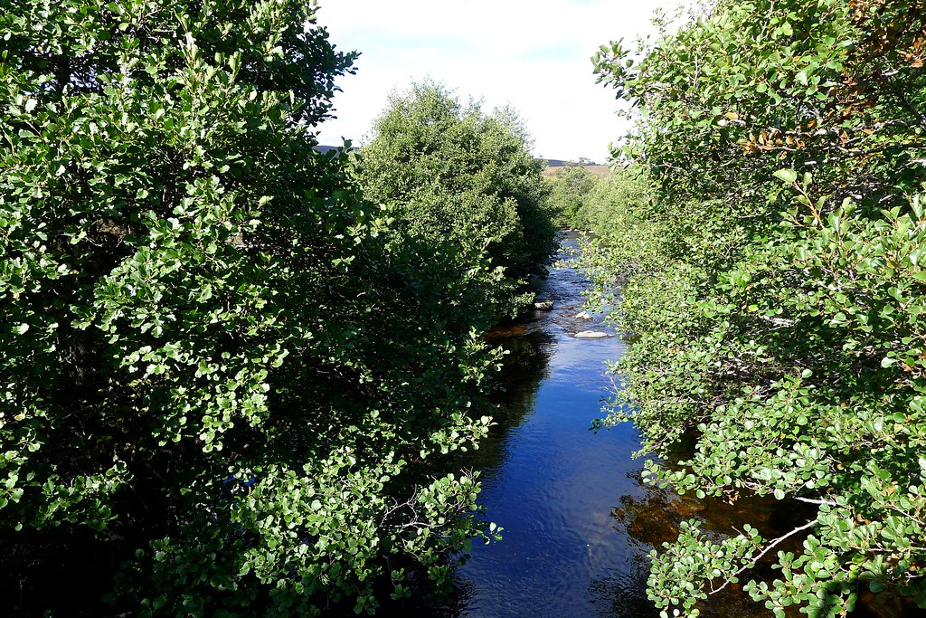
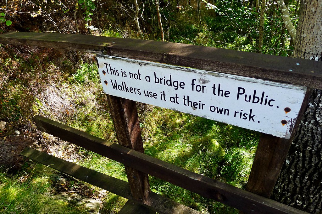
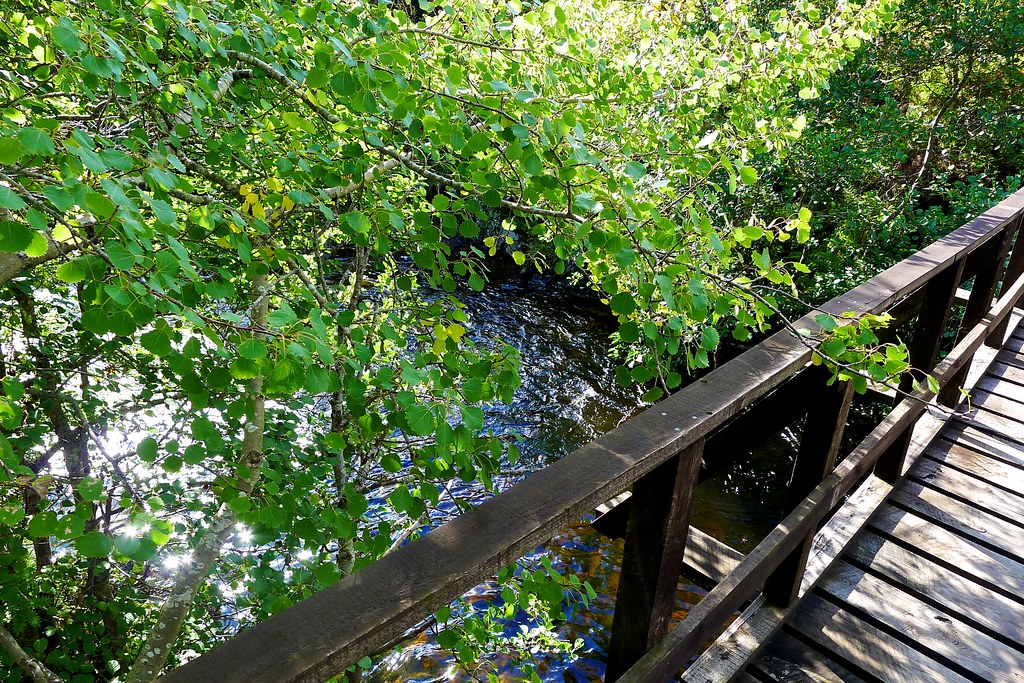
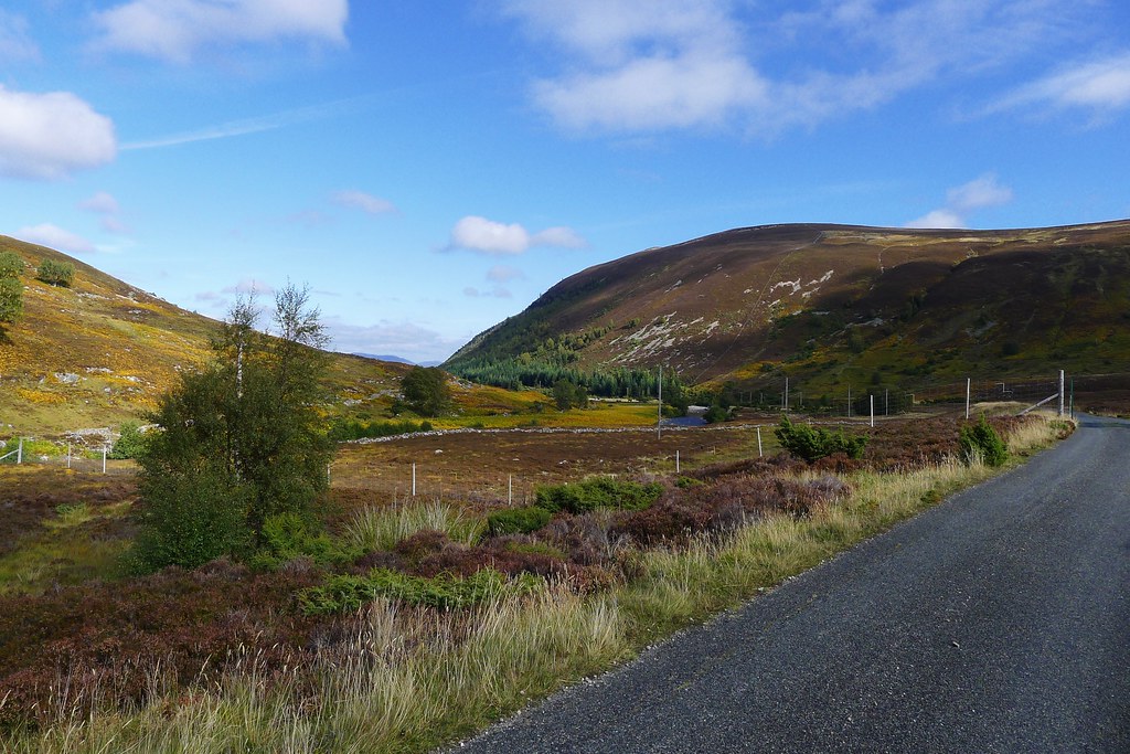
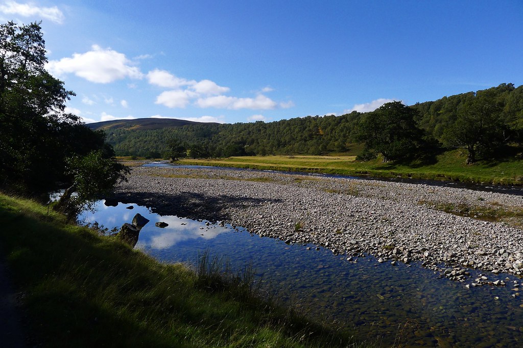
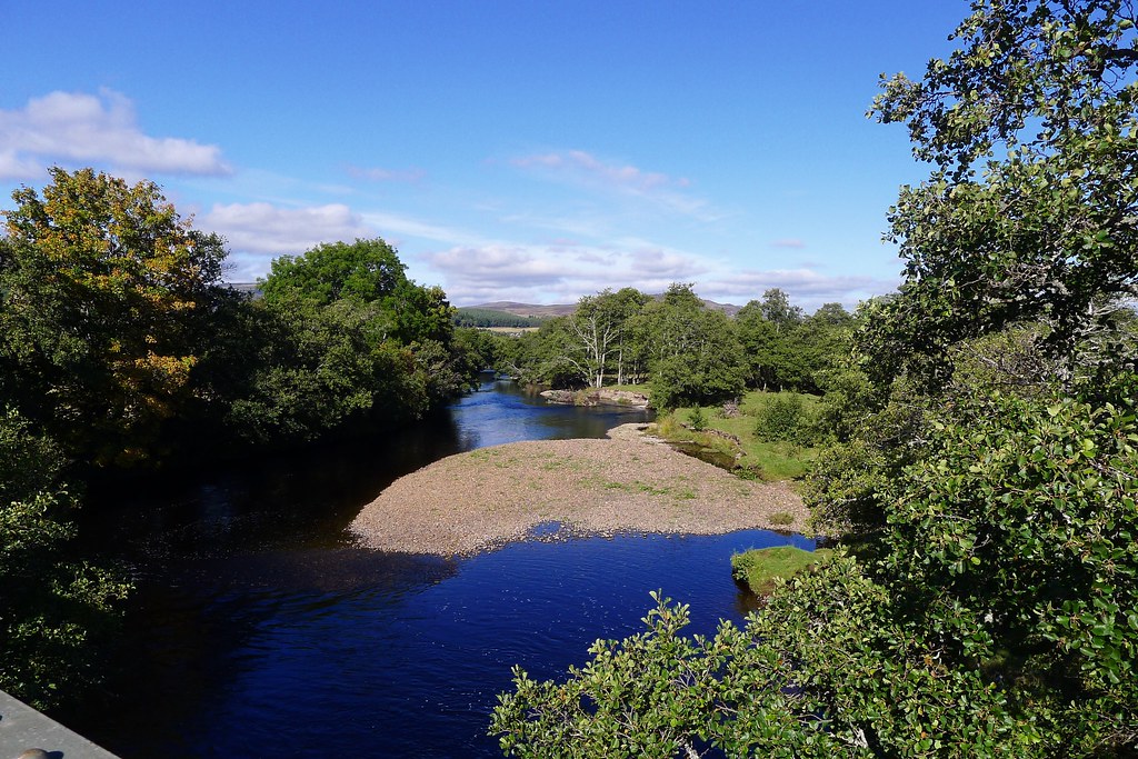
I made my way along the western bank, stopping briefly for a drink and to wash my face, before I found the footbridge hidden in a thickly wooded cutting. Once on the other side I was on tarmac for the walk through Glen Tromie.
I set a steady pace and as noon approached stopped beside the river for lunch. A huge construction lorry passed by but mostly it was very quiet in the glen. That was until the RAF jet showed up, flying low above the glen and making its way quickly and noisily south.
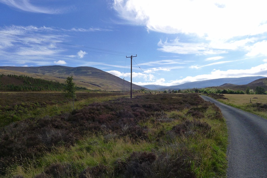
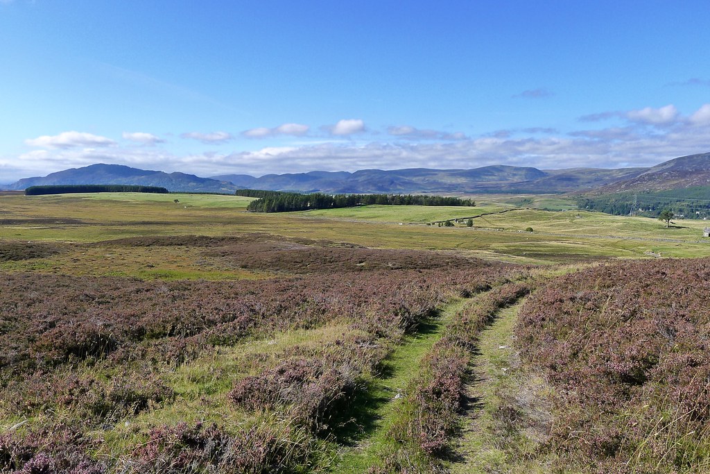
It was perfect ambling weather and I enjoyed the sights and sounds of this glen. Eventually I reached the turning for Glen Tromie Lodge which led me across the river and then on a waymarked track up through yellowing bracken towards the hillside that would take me across to Speyside.
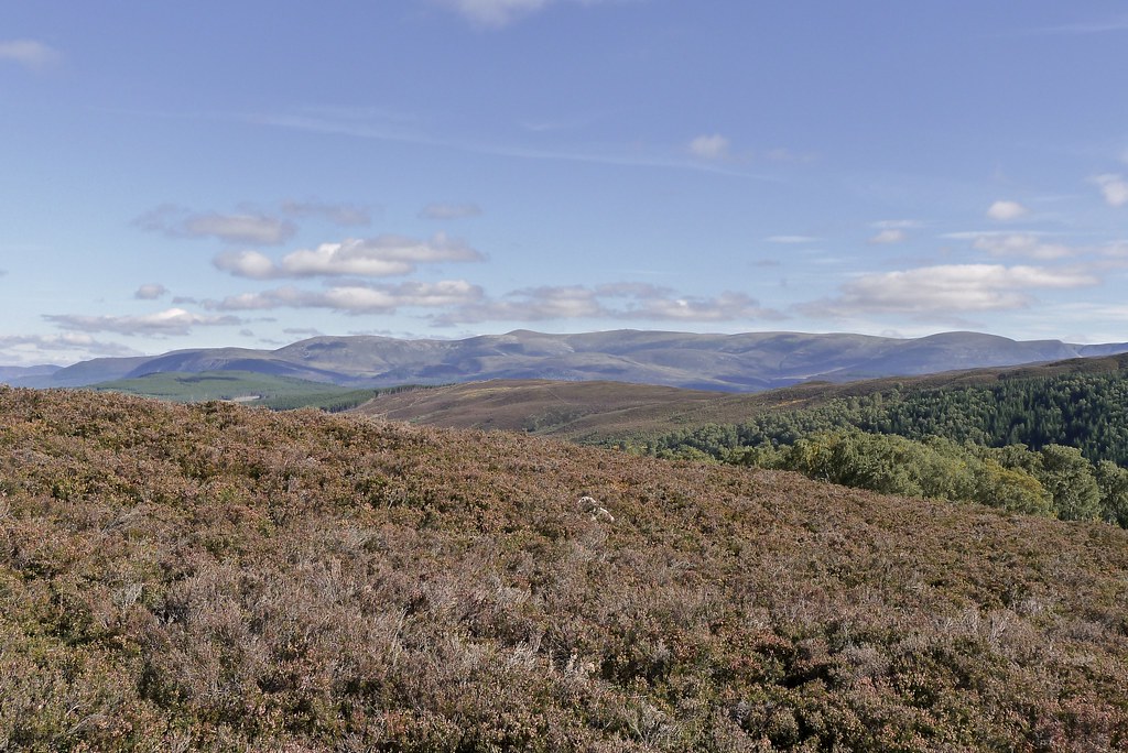
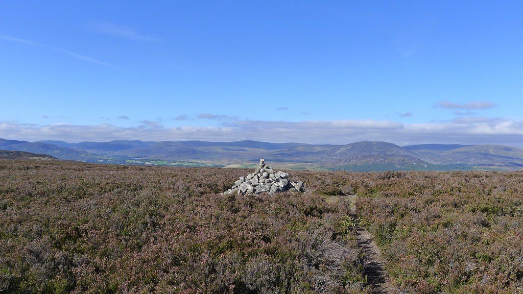
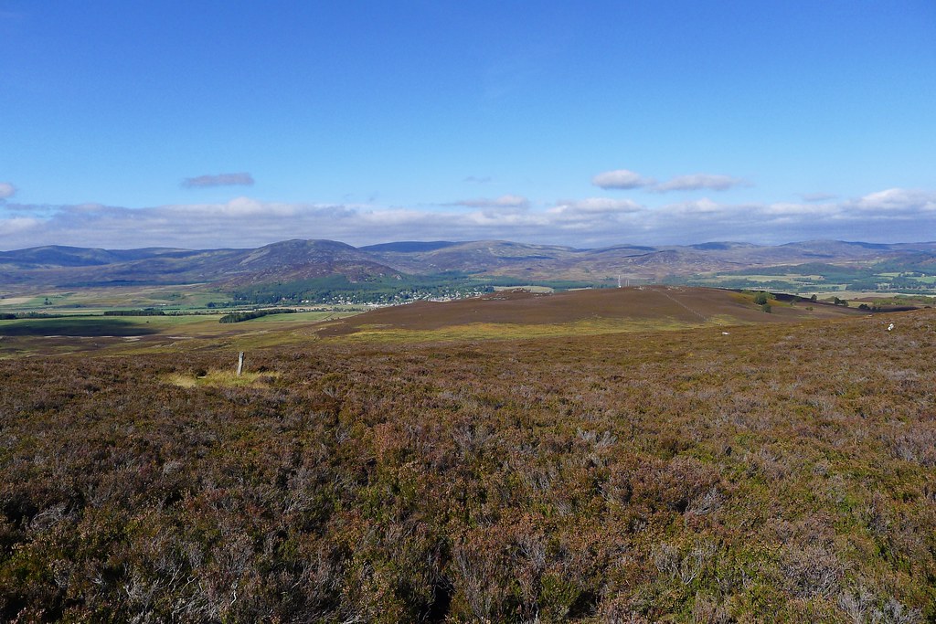
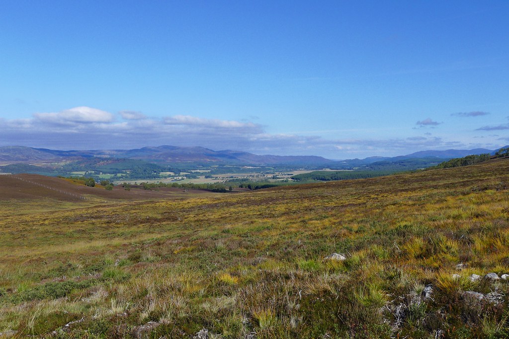
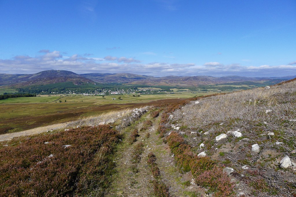
The cairned summit was reached as the views opened out across to Sgor Gaoith and the western Cairngorms and then finally ahead of me were the Monadliath mountains with Kingussie nestled below the rolling summits.
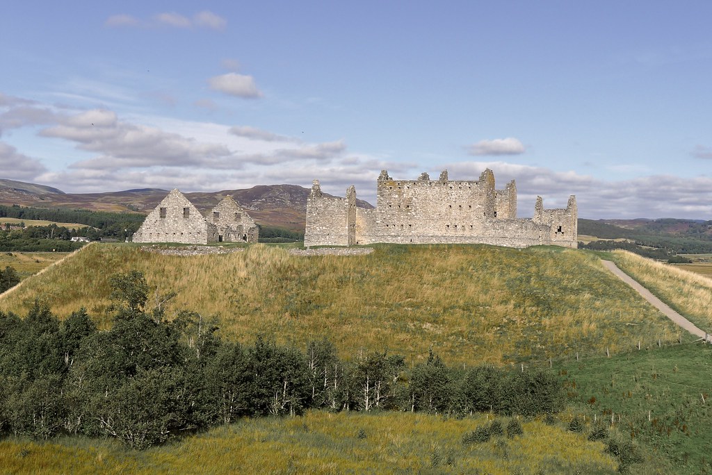
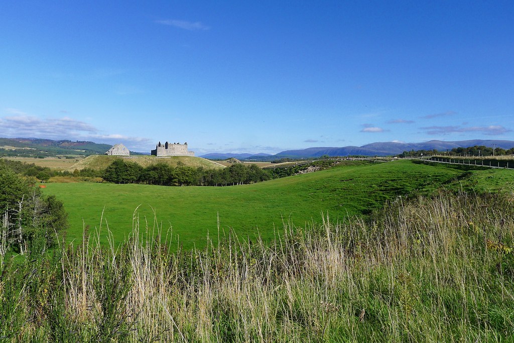
I followed the track as it wound its way down towards Ruthven Barracks. There was a herd of cows to bypass but otherwise I was soon amongst the day trippers and tourists on the outskirts of Kingussie.
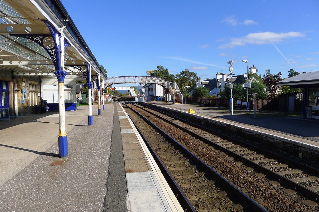
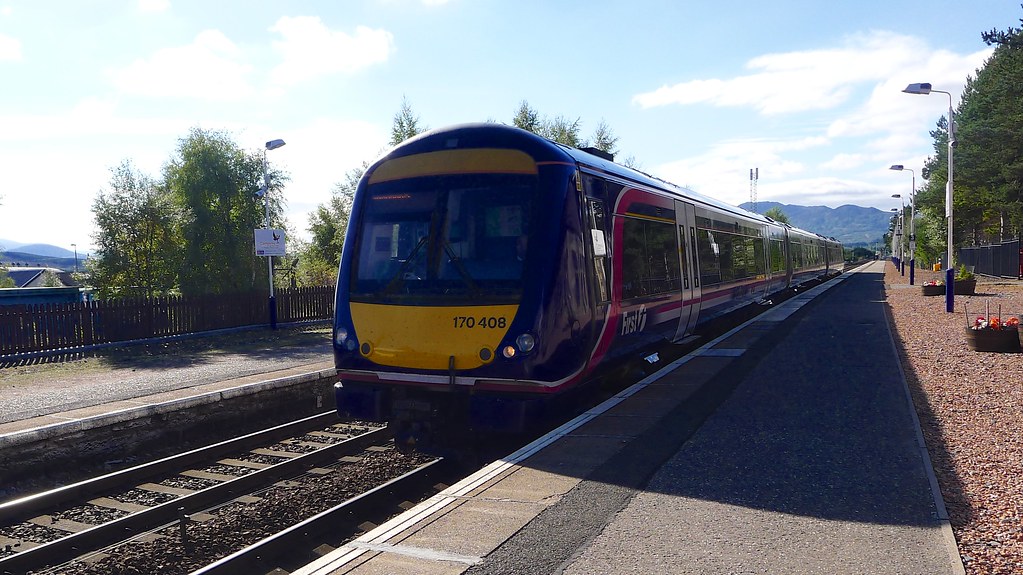
The trips final road march took my under the A9 and across the Spey and then into Kingussie where the station was an easy walk away. I enquired about the quickest way to Aberdeen and was told I had five minutes until the Inverness-bound train arrived.
I was tempted to hang around and get some food in Kingussie (especially as it turned out that there would be only a five minute change at Inverness) but the thought of getting back to Aberdeen early evening was too tempting and so I purchased my ticket and went out onto the platform to wait.
The journey home was largely uneventful. The train ride to Inverness was in beautiful sunshine on a quiet train. The Aberdeen service left on time, was a little busier, and incredibly warm, but I was able to sample the delights of the buffet trolley and so the time passed well.
