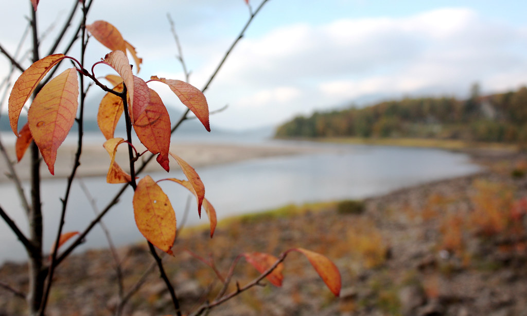
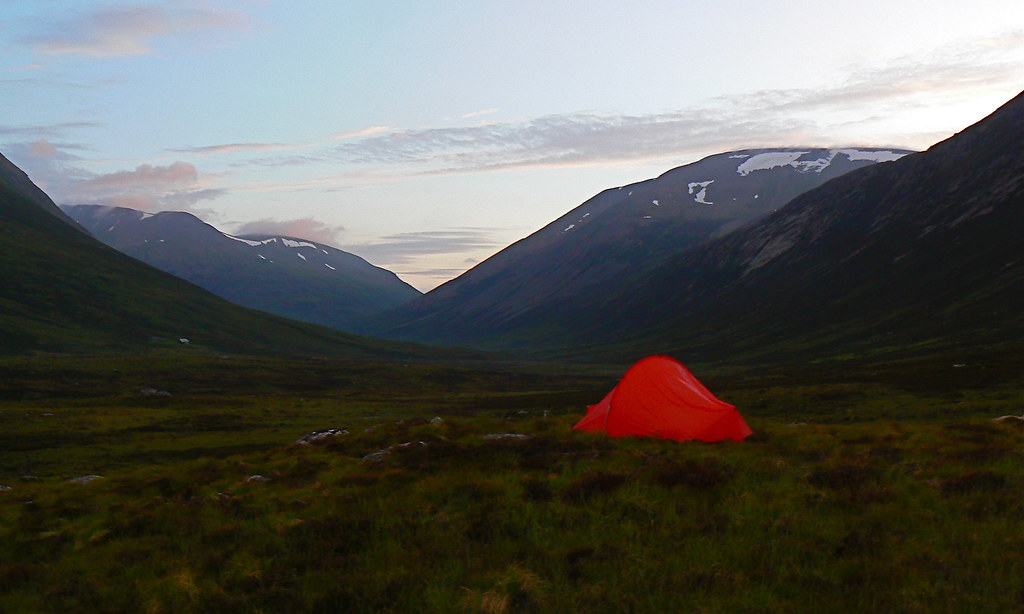
Three years ago on this day I jumped off the service bus into the cold, clear air of a bright November morning in Dinnet, a quiet village in the heart of Royal Deeside. From here I climbed Scotland’s most easterly Munro, Mount Keen. It was the perfect introductory walk: chattering streams, ancient Caledonian forest, isolated farms, wild glens, and mountains as far as the eye could see. I posted a blog post at the time with a few photos which can be read here. With the exception of a walk around Aberdeen’s coastal path, and one up Scolty Hill just south of Banchory, it genuinely was my first significant foray into the Scottish scenery and I enjoyed every minute. Whilst cooling off tired feet sitting at the bus stop in Dinnet as the sun set, I rang my Mum and told her that I had climbed my first Munro. I think she was shocked.
Gleouraich and Spidean Mialach
Distance: 12.09 km
Ascent: 1,149 m
Time: 5hrs 40mins
Munros: Sgurr a' Mhaoraich (1,036m)
Weather: Early high cloud clearing to blue skies. Very cold with snow above 700m
Route: View on OS Maps
The stag prancing about in the field besides the Invergarry Lodge Hostel seemed as delighted with the continuing good weather as we were. Under a sky that was patchy grey with bits of blue steadily appearing, we loaded up the cars and set off once again down the twisty-turny Kinlochhourn Road.
Sgurr a' Mhaoraich
Distance: 14.32 km
Ascent: 925 m
Time: 6hrs 30mins
Munros: Sgurr a' Mhaoraich (1,027m)
Weather: Early high cloud clearing to blue skies. Very cold with snow above 700m
Route: View on OS Maps
The twists and turns of the Kinlochhourn road are probably enough to make most people wish they hadn't bothered with breakfast. I was driving and even I felt a little funny as we booted up under steely skies besides Loch Quoich.
The West Glenshee Hills
Distance: 20.98 km
Ascent: 897 m
Time: 6hrs 24mins
Munros: Carn Aosda (917m), The Cairnwell (933m), Carn a' Gheoidh (975m)
Weather: Early cloud and hill fog improving to sunny spells later in the day. Very light but cold northerly wind.
Route: View on OS Maps
The fact that I stumbled off a doorstep onto a cold, dark Aberdeen street at 6:30am on Saturday morning would perhaps give you the wrong impression of my Friday night. In fact, I had spent a perfectly civilised evening playing board games and eating sushi. The early start was eased by the fact that I only had to walk the ten minutes along to the meeting point for October's Stocket Hillwalking Club Saturday walk.
Andy Nisbit - Climbing In The North West Highlands
The first talk of the North East Mountain Trust's (NEMT) winter series was an almost two hour wander through some of the most iconic mountains and cliffs in the North West Highlands. Our guide for the evening was Andy Nisbit, who is currently the new route's editor at the Scottish …
Creag Meagaidh
Distance: 23.77 km
Ascent: 1318 m
Time: 7hrs 12mins
Munros: Carn Liath (1006m), Stob Poite Coire Ardair (1053m), Creag Meagaidh (1130m)
Weather: Early cloud giving way to sunshine, very strong winds on top
Route: View on OS Maps
Autumn has definitely been making its presence felt in the east of Scotland with wind and rain blowing through constantly during the past week. Meanwhile, over in the west there had been reports of high pressure and clear, though windy, conditions. With a good forecast for Sunday (and after missing my alarm on Saturday) I was up early and speeding across towards the west.
Bruach na Frithe
Distance: 14.34km
Ascent: 914m
Time: 5hrs 07mins
Munros: Bruach na Frithe (958m)
Weather: Early light rain giving way to sunshine, very strong winds on top
Route: View on OS Maps
"The Cuillin... they will never look the same for very long, now blue, now grey, now silver, sometimes seeming to retreat or to advance, but always drenched in mystery and terrors" -- H. V. Morton
Jock's Road
Distance: 26 km
Ascent: 1000 m
Time: 7hrs 37mins
Munros: Tom Buidhe (957m), Tolmount (958m)
Weather: Early light rain giving way to sunshine, very strong winds on top
Route: View on OS Maps
With twenty-one Stockets aboard the bus (after pick-ups at the Bridge of Dee and at Stonehaven) we made our way down the A90 to Glen Clova. Initial sunshine in Aberdeenshire soon gave way to less pleasant conditions into Angus with dark clouds sitting ominously over the hills and glens. After a break at Stracathro services we made our way through Kirriemuir and then out onto the narrow road to Clova.
Bynack More and Cairn Gorm
Distance: 28.8 km
Ascent: 1553 m
Time: 7hrs 37mins
Munros: Bynack More (1090m), Cairn Gorm (1245m)
Weather: Hot sunshine, light breeze
Route: View on OS Maps
After what seemed like interminable weekends of rain, wind and general unpleasantness, yesterday’s weather was warm and sunny and so in the …
First Camping Trip Review
Looking back at my camping trip last weekend I've been checking out my weights and kit list to see how things worked out, what will be in the bag next time, what can be left behind and what I have still to purchase. My total base weight before adding food and water was just over 7kg. In total (though I didn't weigh my full bag with food and water) I estimate that I carried in just under 8kg from the Linn of Dee. Looking at my GPS report this weight doesn't seem to have hampered my level(ish) trail pace very much, although going uphill was a different matter. Still, it definitely wasn't debilitating and I was able to cover 15 miles carrying the heavy bag which I am pleased with.


