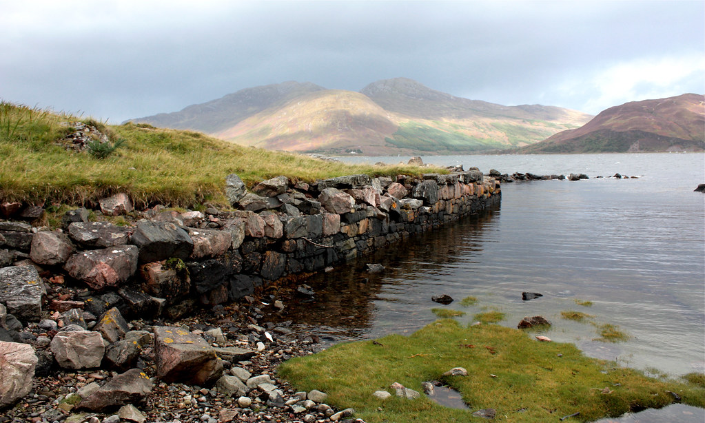
The Mountain's Silhouette

Hiking and backpacking in the mountains of Scotland

North Glen Shiel Ridge Overnighter

Part 1 - Friday 29th April - Three Brothers and a Sister

Distance: 15.58km
Ascent: 1,604m
Time: 5hrs 39mins
Hills: Aonach Meadhoin (Munro, 1,001m), Sgurr a' Bhealaich Dheirg (Munro, 1,036m), Saileag (Munro, 956m), Sgurr nan Spainteach (Munro Top, 990m), Sgurr na Ciste Duibhe (Munro, 1,027m)
Weather: Cloudless, hazy skies with a strong easterly wind rising into the night.
Route: View on OS Maps

I had an ambitious plan, but it was drawn out such that I also had a means of escape if things were too tough. So it was that on Saturday at midday, rather than heading up towards The Saddle, I found myself riding the City Link bus back up from Shiel Bridge. Twenty-four hours earlier I’d left the car near the Clunie Inn and set off to do a full circuit of Glen Shiel. The first half of the route would be a complete traverse of the North Shiel Ridge, a fabulous ridge walk that combines the Three Brothers and the famous Five Sisters of Kintail to give roughly 11 miles of delightful high-level walking, with barely a dip below 850m along the entire length.

Carn an Righ Wild Camp - The Gear

So the gear is tidied up and packed away for now, the report has been written (see Part 1 here and Part 2 here) and (sadly) the suntan is now fading as eastern Scotland is shrouded in mist and cloud. What else is there to do but post a gear report for my Carn an Righ wild camping trip last weekend?

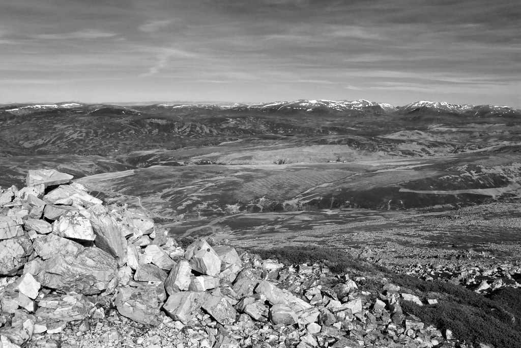
The Cairngorms (b&w)

Carn an Righ Wild Camp Part 2

Sunday 17th April – An Amble Back Under Cloudless Skies

If you missed part one of this trip you can read it here.

Distance: 22km
Ascent: 977m
Time: 7hrs 09mins
Hills: Carn an Righ (Munro, 1029m), Beinn Iutharn Mhor (Munro, 1045m)
Weather: Blue skies with some high cloud. Very warm and only a light breeze developing early afternoon
Route: Click to view on OS Map

The intensifying sunlight drew me from my slumbers and as the brightness filled the tent I could begin to see the frost glittering on the outside of the fly. Above me beaded a few drops of condensation on the inner but this was no great surprise given the calmness of the night.

IMG_7413

Carn an Righ Wild Camp Part 1

Saturday 16th April - The Long Walk To The High Hill Of The King

Distance: 25.2km
Ascent: 1,376m
Time: 6hrs 39mins
Hills: Carn Liath (818m), Buachaille Breige (745m)
Weather: Early cloud and wind gradually giving way to bright, warm sunshine. Cloud came in later but hardly any wind in the evening.
Route: View on OS Maps

Saturday evening. The sun has slunk below the horizon, ashamed of its lack of show. Clouds drift lazily through a dark sky. Somewhere near the tent a snuffling is heard, a deer or sheep tugging gently at the tussocky grass I'm camped on. By the time I look out it has gone. Back inside, I draw the sleeping bag tight around my face and lay back, listening to the burn murmuring gently to my right. Life is good.

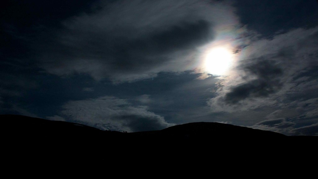
Full Moon Shines Through

Brandy, Neat and on the Rocks

Distance: 16.22km
Ascent: 949m
Time: 3hrs 53mins
Hills: The Snub, Green Hill (870m), The Goet (896m, Corbett)
Weather: Bright sunshine, very strong, chilling wind
Route: View on OS Maps

Glen Clova seems to be the perfect destination for an afternoon walk. I climbed Mayar and Dreish late one May evening and on Sunday chose to use a free and unexpectedly sunny afternoon to visit the summit of The Goet/Ben Tirran, a 798m high Corbett on the north side of the glen.

A Wander Down Glen Dye

Distance: 28.09km
Ascent: 922m
Time: 6hrs 18mins
Hills: Mount Battock (778m, Corbett), Clachnaben (589m)
Weather: Bright spring sunshine, cooling breeze, later cloud and passing rain showers
Route: View on OS Maps

My approaching footsteps sent the sheep skittering away across the tussocky flats next to the river. They stopped some distance away bleating balefully and watching me pass by. Their flight had taken them in amongst the scattered stones of a long abandoned shieling, one of many that can be seen along the length of this overlooked glen. I was deep in the heart of Glen Dye, away from the people puffing and panting their way up Clachnaben, and enjoying the solitude and scenery in this pleasant little corner of the world.

Across the Ochils

Distance: 18.55km
Ascent: 1219m
Time: 6hrs 56mins (including several long stops)
Hills: The Law (638m), Ben Cleuch (Graham, New Donald, 721m), Ben Buck (679m), Blairdenon Hill (631m), Dumyat (Sub-2000 Marilyn, 418m)
Weather: Early dull overcast skies clearing to bright sunshine, strong icy wind, later cloud again
Route: View on OS Maps

It's a long drive to Tillicoultry from Aberdeen. This fact prompted the first 7am start of the 2011 calendar for the Stocket Hillwalking Club, but luckily it didn't seem to dissuade members or guests from turning out in healthy numbers. The long day would be rewarded with sunshine, piercingly cold winds, and snow, lots of snow.

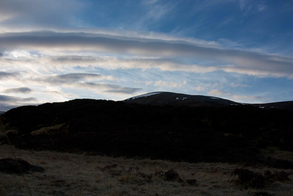
The Clouds Lie Above Coire Nan Cat

Distance: 18.83km
Ascent: 1346m
Time: 6hrs 45mins (including stops)
Hills: Meall Greigh (Munro, 1012m), Meall Garbh (Munro, 1118m), An Stuc (Munro, 1118m)
Weather: Dull, overcast conditions all day with barely any break in uniform grey cloud. Strong, icy wind on the tops
Route: View on OS Maps

I think it's fair to say that reliance on MWIS is both character building and somewhat exasperating. Saturday had been a splendid day in Aberdeen and I had enjoyed it with a wander around the town, a look round the brilliant Diane Arbus portrait photography exhibition currently on at Aberdeen City Art Gallery, and coffee and carrot cake. The weather had been great; warm sunshine and hardly a breath of wind. For Sunday MWIS was confidently predicting 90% chance of cloud free Munros, only a little wind and reasonably mild temperatures. After initially thinking of heading to the Monadhliath, then the Laggan Hills, I finally decided to head south-west and make my first foray into the Lawers Range. I figured that the good forecast and a nice ridge walk would make an excellent combination.

The Callater Haute Route

Distance: 32.97km
Ascent: 1368m
Time: 9hrs 45mins (including stops)
Hills: Carn an t-Sagairt Mor (Munro, 1047m), Cairn Bannoch (Munro, 1012m), Tolmount (Munro, 958m), Cairn of Claise (Munro, 1064m), Carn an Tuirc (Munro, 1019m), Carn Dubh (822m), Creag nan Gabhar (Corbett, 834m)
Weather: Early overcast clearing rapidly from northwest, later heavy snow showers
Route: View on OS Maps

I'm fairly sure that I am now a member of an elite and rather exclusive club: a club for those who count Tolmount as their most climbed Munro. Although I have almost been up Lochnagar three times, I aborted the last time in the face of incredibly strong winds, so now, having climbed Tolmount in May 2008 and again in August 2010, today was my third time on top of this mountain.

Hills of Cromdale Traverse

Distance: 19.38km
Ascent: 1034m
Time: 5hrs 55mins (including stops)
Hills: Carn a'Ghille Chearr (710m), Creagan a'Chaise (722m)
Weather: Incredibly strong wind, some sunshine and cloud
Route: View on OS Maps

There's probably a little piece of Eastern mysticism relating to the fact that a little wind never hurt anyone. I was repeating this mantra to myself every step of the way along the broad and exposed ridge that curves around to the summit of Creagan a' Chaise, a Graham perched high above Speyside and close to the infamous Haughs of Cromdale. It marked the high point of Sunday's walk along the spine of the Hills of Cromdale which divide Glen Livet and the River Avon from the green fields of Strath Spey.