The Mountain's Silhouette

Hiking and backpacking in the mountains of Scotland

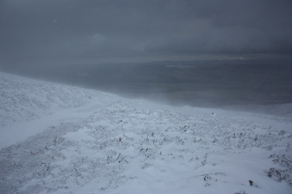
An Arctic Day On Peter Hill

An aborted attempt to loop around the Mounth hills from Feughside to Glen Dye

Date: 13th January 2013
Distance: 15.39km
Ascent: 632m
Time: 5 hrs
Hills: Peter Hill
Weather: High winds, snow, incredible windchill.
Route: View on OS Maps

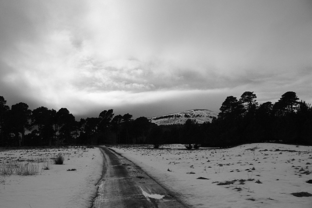
Breathing deeply into my pile and pertex collar tightly wrapped around my mouth and nose I trudged up the track, following a single pair of footprints up the snowy hillside. The sky was a deep, unblemished grey, like that in a black and white photograph. I paused a minute and looked back. There was no-one.

Descent from Peter Hill

Hogmanay Hoolie Above Glen Ernan

A loop of the hills around Glen Ernan including some interesting views of familiar hills in the Cairngorms

Date: 2nd January 2013
Distance: 17.48km
Ascent: 544m
Time: 4 hrs 30 mins
Hills: Cairn Vachich, Gael Charn, Carn Mor
Weather: Early rain giving way to sunshine. Very gusty wind. Mild.
Route: View on OS Maps

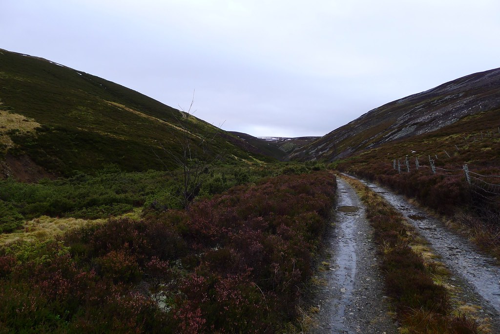
The first hillwalk of 2013 started amidst wind and rain as Dave and I headed down Glen Ernan from a start just off the main Strathdon road. Thirty minutes later we were peeling back sodden hoods to gaze up in amazement at the blue sky that had appeared overhead. The glen, at first wide and fertile, narrowed and started twisting about the feet of the encroaching hills. We stopped for a snack and then pressed on, following the easy track until we reached the shiel in the upper glen. This turned out to be a rather smart estate building and attendant bothy, both freshly painted but sadly locked.

Glen Ernan

The Glenlivet Hills

A loop of the hills around Glenlivet including a Graham (Cook’s Cairn) and Corbett (Corryhabbie Hill)

Date: 25th November 2012
Distance: 27.45km
Ascent: 1,077m
Time: 6 hrs 30 mins
Hills: Carn na Bruar, Cook’s Cairn (Graham), Corryhabbie Hill (Corbett)
Weather: Early sunshine giving way to cloudy but dry conditions. Very cold wind.
Route: View on OS Maps

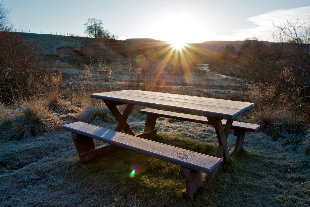
The car was cosily warm after the drive over from Aberdeen and it took until the sun crested the distant hills for me to reluctantly leave behind its easy comforts. The temperature showed a chilly −1oC. The grass crunched underfoot as I pulled on every conceivable item of warm clothing I had brought across with me and started on my way down the Livet Path.

Sunrise at Allenreid

Carn Liath & Bynack Lodge

A short November walk taking in the hills south of the River Dee with grand views to the wintry Cairngorms

Date: 11th November 2012
Distance: 21.62km
Ascent: 665m
Time: 7 hrs 30 mins
Hills: Carn Liath
Weather: Early sunshine giving way to cloudy but dry conditions. Very cold wind.
Route: View on OS Maps

Sunday morning dawned cold and clear in Aberdeen. A close conjunction of Venus and the waning Moon hung low in the eastern sky as I walked to the meeting point for the November Stocket hillwalk. There a gathering of Stockets was lacking only one thing: a coach. After a couple of phone calls the confusion was sorted out and twenty-five minutes later we were on a warm coach heading west down Deeside under beautiful morning skies. Pockets of frost and a low running river were both remarked on.

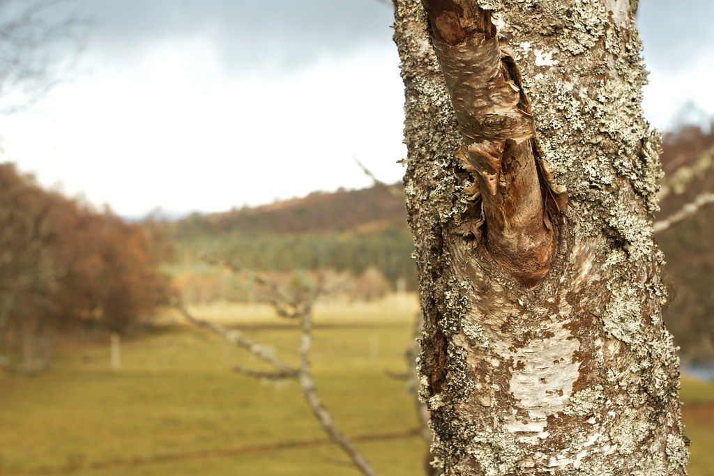
Autumn Tree

The Dubh-Ghleann Circuit

A circuit of the hills in the eastern Cairngorms with an overnight camp on Beinn a’ Bhuird

Date: 20th-21st October 2012
Distance: 41.23km
Ascent: 1,572m
Time: 28 hrs 30 mins
Hills: Beinn a’ Bhuird (Munro), Beinn a’ Chaorainn (Munro), Beinn Bhreac (Munro)
Weather: Predominantly sunny, very cold wind and icy temperatures
Route: View on OS Maps

Sunrise from Beinn a' Bhuird

Four weeks ago I was supposed to be in Assynt, enjoying the wild lands of the far north and climbing my halfway Munro. My car however had different ideas, breaking down and leaving me stranded in Aberdeen on a sunny Friday. It took two weeks and more money than I really care to think about to sort it out but at least I have a car again. For my return to camping trips I wasn’t up for something as distant as Assynt, instead I chose to head back to my favourite stomping ground, the Cairngorms.

Glenfinnan to Glen Cluanie

A report of a four day backpacking trip through the Northwest Highlands of Scotland

Date: 24th August to 27th August 2012
Distance: 82.26km
Ascent: 3,671m
Time: Four Days
Hills: Sgurr nan Coireachan (Munro), Sgurr Thuilm (Munro), Luinne Bheinn (Munro)
Weather: Plenty of it
Route: Click to view on Social Hiking

Day 1

I've never really felt nervous before a trip before, but this one seemed different. My rucksack was loaded with food enough to see me through five days of backpacking. It was heavy, bulging, even a little unwieldy. As I sat on the Citylink coach that took me from the Cluanie Inn (where I had parked my car) to Fort William I gazed out at a familiar landscape. Hills and lochs that I have driven past several times now were all gloomy and grey as a steady rain fell from leaden skies. At Fort William I had a couple of hours to wait before my train but with little appetite spent it in the bustle of the station cafe reading a few chapters of my book. The Maillaig-bound train duly arrived on time and took me west, along the beautiful shores of Loch Linnhe. As the rain finally eased there was now a brightness to the sky, a promise of a better afternoon and the thought of claiming my first couple of Munros of the trip.

Glenfinnan Station

The Tarmachan Ridge

A round of the Tarmachan Ridge above Killin

Date: 15th September 2012
Distance: 14.23km
Ascent: 933m
Time: 4 hrs 30 mins
Hills: Creag na Caillich, Beinn nan Eanach, Meall Garbh, Meall nan Tarmachan (Munro) Weather: Early sunshine and breezy to later on low cloud and very strong winds Route: View on OS Maps

A quick drive north east took us to Killin and up the road to our high starting point for the day. We passed the new and very busy Ben Lawers car park to reach the Tarmachan starting point which only had a couple of cars parked up at this relatively early hour. Although the clouds had earlier been stuck to the summits, we booted up in bright sunshine with a blustery breeze blowing the long grasses.

Beinn nan Eichan and Meall Garbh

A Cairngorm Traverse

A report from a traverse of the Cairngorms from the Linn of Dee to Coylumbridge via Cairn Toul and Loch Einich

Date: 18th August 2012
Distance: 38.16km
Ascent: 1,827m
Time: 10hr 24min
Hills: Angel's Peak (Munro), Cairn Toul (Munro), Devil's Point (Munro)
Weather: Early showers giving way to bright sunshine
Route: View on OS Maps

The opportunity to traverse a mountain range in a day is a rare one and is definitely one of the main reasons why I am a member of the Stocket Hillwalking Club. The club’s 2012 Cairngorm Traverse was an opportunity to cross the Cairngorms, either via the famous pass of the Lairig Ghru, or going across the Cairn Toul massif to bag the Devil’s Peak, Cairn Toul and Sgorr an Lochain Uaine. Despite the fact that I had been up in this area wild camping just a couple of weeks before I was still thoroughly looking forward to this day out, especially as the weather promised to be rather good. Would it be, as with Braeriach on the last occasion, third time lucky for a summit view from Cairn Toul?

Heather in the Cairngorms