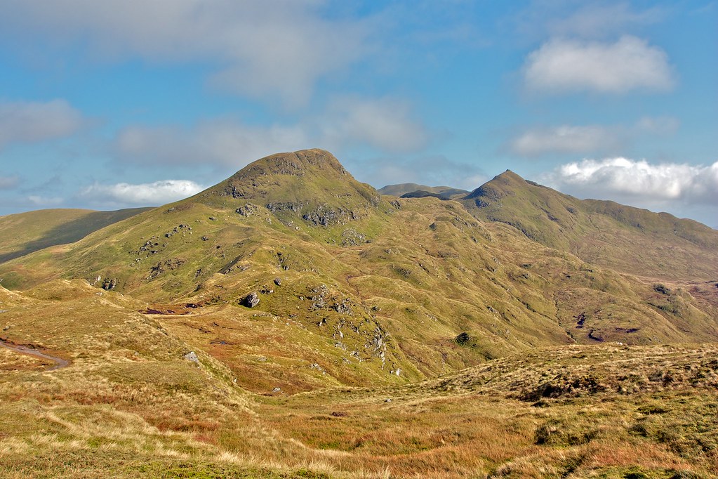
A loop of the hills around Glenlivet including a Graham (Cook’s Cairn) and Corbett (Corryhabbie Hill)
Date: 25th November 2012
Distance: 27.45km
Ascent: 1,077m
Time: 6 hrs 30 mins
Hills: Carn na Bruar, Cook’s Cairn (Graham), Corryhabbie Hill (Corbett)
Weather: Early sunshine giving way to cloudy but dry conditions. Very cold wind.
Route: View on OS Maps
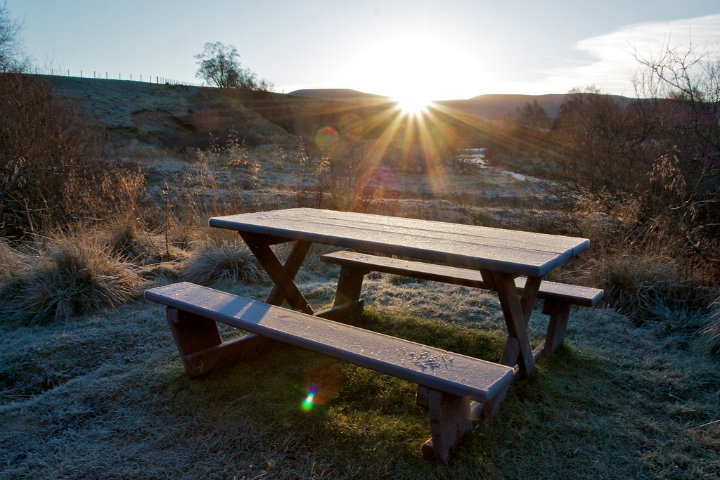
The car was cosily warm after the drive over from Aberdeen and it took until the sun crested the distant hills for me to reluctantly leave behind its easy comforts. The temperature showed a chilly −1oC. The grass crunched underfoot as I pulled on every conceivable item of warm clothing I had brought across with me and started on my way down the Livet Path.