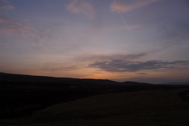
The Mountain's Silhouette

Hiking and backpacking in the mountains of Scotland

Travels in the Ben Alder Area - Part 1

Date: 3rd June 2012
Distance: 19.86km
Ascent: 1,099m
Time: 6hrs 27min (total)
Hills: Carn Dearg (Munro), Sgor Gaibhre (Munro)
Weather: Chilly, overcast, strong northerly wind
Route: View on OS Maps

Ben Alder. A remote, sprawling mountain often discussed in hushed terms amongst Munro baggers. It’s a long way from anywhere and unless you are cycling in from Dalwhinnie a traverse usually requires an overnight stay in the bothy at Culra or taking a tent. I don’t have a bike and dislike the idea of staying in such a potentially busy bothy so for me it was going to be a camping trip. With the region home to anything from 2 to 14 Munros (depending on how widely you cast your net) there was plenty of potential for a big rambling route picking up a number of summits. After reading with interest the recent report on V-G of a low level five day route I modified my original plan and incorporated some of Geoff's elements, turning it into a high level three day route with the low level option there as a good FWA (foul weather alternative) should things turn south.

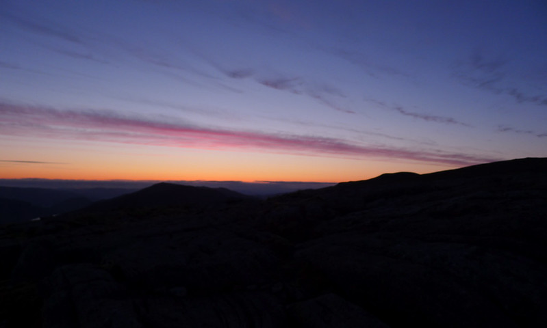
Before Sunset/After Sunrise, A Micro-Adventure

Date: 27-28th May 2012
Distance: 14.55km
Ascent: 505m
Time: 11hrs 2min (total)
Hills: Cruys (741m), Cairn of Meadows (687m)
Weather: Very warm, unbroken sunshine
Route: View on OS Maps

I ummed and ahhhed all day on Sunday over whether to head to the hills for a quick overnighter but eventually at just after 6pm I got moving and after adding a splash of petrol to the tank was heading down the A90 towards Brechin. Temperatures in Scotland have soared over the last week and whilst I was turned back by snow on the Strathfarrar Ridge just 8 days previous the car thermometer was now holding steady at 25C…. at 6:30pm.

Glen Orrin and an Accidental Munro

Date: 18-19th May 2012
Distance: 46.41km
Ascent: 1,598m
Time: 9hrs 8min (walking)
Hills: Carn nan Gobhar (992m, Munro)
Weather: Rain and snow showers, low temperatures and breezy at height.
Route: View on OS Maps

The weekend weather forecast had been a constant tease. As the week progressed some days it said that Saturday was supposed to be best, other days it was to be Sunday. I set out anyway on Friday afternoon with sufficient food packed to last me a couple of days in the hills. I would just have to see what the conditions were like and take any fair weather opportunity that came along. I'd already noted a couple of foul weather alternatives if everything went south.

Derry Cairngorm

Date: 12th May 2012
Distance: 28.48km
Ascent: 1,264m
Time: 8hrs 30min
Hills: Derry Cairngorm (Munro, 1,155m)
Weather: A stunning spring day, blue skies and sunshine
Route: View on OS Maps

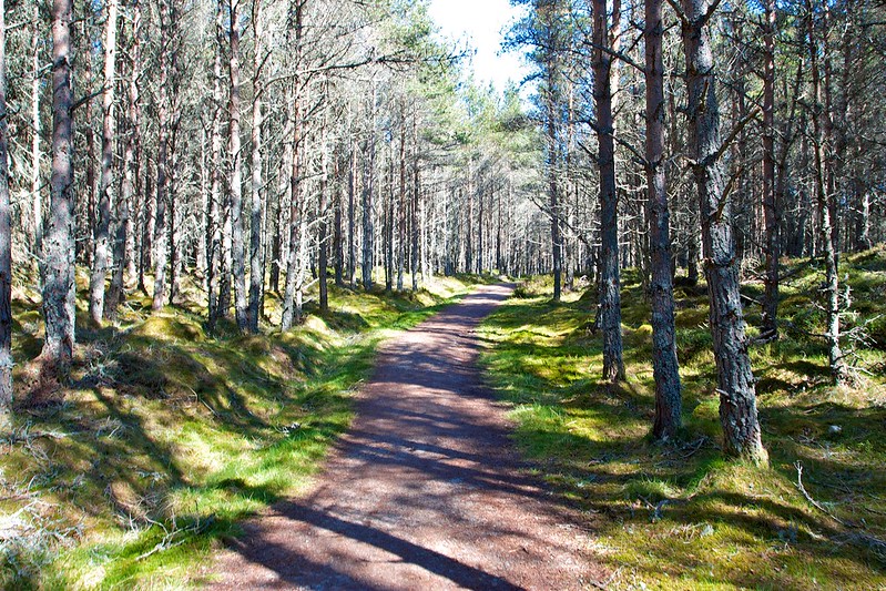
Sunlight dappled the forest track as we climbed away from the Linn of Dee. The long march down the Derry Road was completed without much complaint as the sight of the snow capped mountains under brilliant blue skies drew us on. A welcome elevenses broke the journey at Derry Lodge where we sat around in the sunshine though the breeze was cool enough to merit an outer layer and zipped up tops.

Woods near the Linn of Dee

Backpacking The Attadale Hills (slowly)

Date: 4th-6th May 2012
Distance: 37.93km
Ascent: 3,080m
Time: A Long While
Hills: Sgurr na Feartaig (Corbett, Beinn Tharsuinn (Corbett), Bidein a’ Choire Sheasgaich (Munro), Lurg Mhor (Munro), Sgurr Choinnich (Munro)
Weather: Early sunshine giving way to cloud. Very cold wind and low temperatures.
Route: View on OS Maps

Day 1

The café in Achnasheen at lunchtime on Friday. Piping hot lentil and vegetable soup followed by coffee and homemade cake. Outside sleet falls from great grey clouds drifting over Strath Bran. I’m excited to be back in the North West Highlands but a little nervous about the weather forecast and how far my three season gear will be tested over the coming couple of days. I’m also a little concerned about how much of a problem the cold and flu I’m still suffering from will play a part in proceedings.

A Few Thoughts On Geograph and Wild Camping

I’m sure that many people know of, use and maybe even contribute to the Geograph Britain and Ireland website. The aim of the project is to “collect geographically representative photographs and information for every square kilometre of Great Britain and Ireland”. This very simple premise is producing an incredibly useful resource and I have found the Geograph site oftentimes as invaluable for trip planning as a topographical map or aerial photography. This post aims to introduce those of you who aren't familiar with it to the site and some ways you might find Geograph useful when planning trips.

Screen Shot 2012 04 28 at 11 05 21

A Hint of Winter on Ben Challuim

Date: 15th April 2012
Distance: 19.5km
Ascent: 1,438m
Time: 6hrs 54min
Hills: Ben Chaorach (Corbett, 818m), Cam Chreag (Corbett, 884m), Ben Challuim (Munro, 1,025m)
Weather: Early sunshine giving way to cloud. Very cold wind and low temperatures.
Route: View on OS Maps

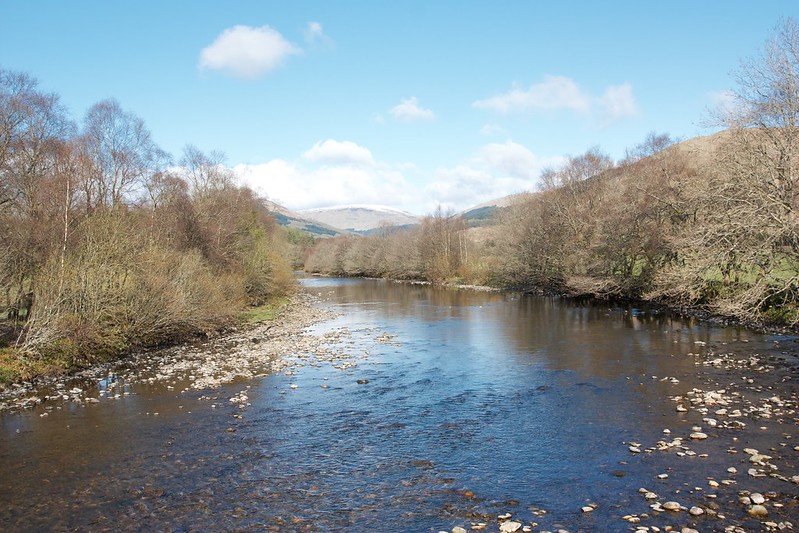
River Fillan

Sunday morning, 6:45am. Most sensible, well-adjusted people were still in their beds, grumbling at the noise of ice being noisily chipped off a windscreen and the idling engine bringing some much needed warmth to a frozen car. I was off by 7, the streets of Aberdeen quiet but brightly lit by sunshine. It remained that way for the whole of the journey. The petrol station outside of Dundee still seemed to be catching up with deliveries but I did eventually find a working unleaded pump (are the retailers trying to force us into buying their “premium” stuff with all these continuing shenanigans?) and then it was a fun blast along the road past Loch Earn and over Glen Ogle to Crianlarich and my parking spot besides the A82 just short of Tyndrum.

Atholl Forest and Western Cairngorms Traverse (Day 3)

Date: 25th March 2012
Distance: 35.51km
Ascent: 1,210m
Time: 9hrs 00min
Hills: Mullach Clach a' Bhlair (Munro, 1,017m), Sgor Gaoith (Munro, 1,118m)
Weather: Very warm, sunshine and hazy skies
Route: From camp besides the Feshie to Aviemore Station

If you came straight here then you might like to take a look at Part 1 and Part 2 of this report.

Dawn on the third day

The next time I awoke it was that still, cold hour before dawn. The skies were much hazier, the stars mostly veiled and some patchy cloud was drifting around the glen. I dozed off again, waking some time later when the quality of light had changed and the sun was almost up. Outside it was a beautiful dawn. A crisp, deep blue sky, dewy grass, and the mountains all around me. I made a cup of coffee and sat around, watching the colours change and the sun suddenly crest the eastern hills. It was a stunning sight.

Atholl Forest and Western Cairngorms Traverse (Day 2)

Date: 24th March 2012
Distance: 25.05km
Ascent: 1,192m
Time: 8hrs 39min
Hills: Beinn Dearg (Munro, 1,008m), Beinn Bhreach (Corbett, 912m), Carn an Fhidhleir (Munro, 994m), An Sgarsoch (Munro, 1,006m)
Weather: Very mild, cool wind on the tops, earlier low cloud rising to form a general haze beneath sunshine and blue skies
Route: From camp on Beinn Mheadhonach to camp besides the River Feshie

If you came straight here then you might like to start with Part 1 of this report.

Camped above the clouds

The earlier starry skies had disappeared by dawn and I awoke to find a thick fog swirling around the tent. Visiblitiy was almost zero which was a little worrying as these hills aren’t the sort to really enjoy in thick mist. I dozed for another half an hour or so and then got up to make coffee and porridge. Amazingly as I sat eating breakfast the conditions dramatically changed; the thick cloud was swept away to reveal all the surrounding mountain peaks standing clear of cloud-covered glens.

Atholl Forest and Western Cairngorms Traverse (Day 1)

Date: 23rd March 2012
Distance: 19.49km
Ascent: 1,174m
Time: 4hrs 55min
Hills: Carn a' Chlamain (Munro, 963m)
Weather: Mild, light breeze, some high cloud and haze
Route: Click to view on OS Map

After a week of glorious sunshine in Aberdeen I pulled back the curtains to find it was a grey Friday morning. I guess this is what happens when you book a day off work in order to head to the hills! Thankfully by the time I was heading down to the station, the heavier camping pack on my back, the sun was out and it was a glorious morning; an auspicious start. Train ticket purchased I was soon sitting on the relatively quiet 09:34 service to Glasgow Queen Street. Initially the weather and views were glorious, the sun shimmering off the North Sea, and the fields freshly ploughed and ready to show spring shoots. However, from around Arbroath the cloud built up and it was grey and a little gloomy by the time I got off the train at Perth.