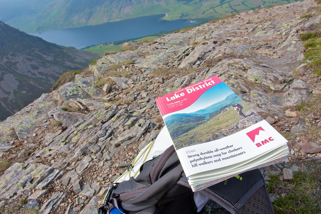
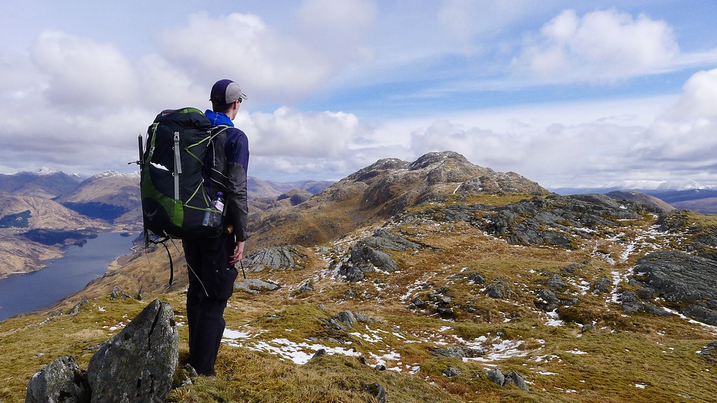
A first visit to the Lake District sees me walking the Coledale Round taking in ten Wainrights including Grisedale Pike and Grasmoor on a very hot summer's day.
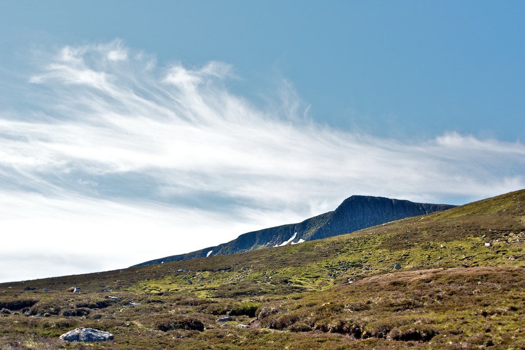
The Stuic Buttress and Lochnagar
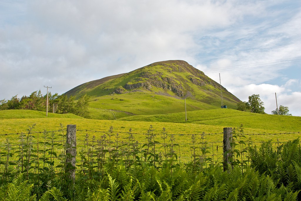
Ben Gulabin and Gleann Taitneach
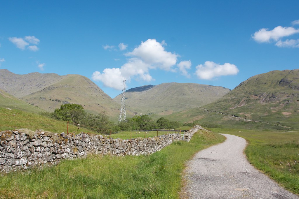
The Midnight Walk: Calvine to Auchlean
A midsummer celebration walking the route of The Minigaig from Calvine on the A9 through to Glen Feshie.
Date: 22nd June 2013
Distance: 39.79km
Ascent: 1,112m
Hills: Leathad an Taobhain [912m, Corbett]
Weather: Low cloud and hillfog, later sunshine and some brief rain
Route: View on OS Maps
The rain seemed to start seconds after we pulled up in the tiny hamlet of Calvine, just off the A9 near Blair Atholl. It was two in the morning on a humid midsummer night and we were here to walk north across the hills to Glen Feshie, some twenty-four miles away.
TGO Challenge 2013 : Part 3
In May 2013 I backpacked across Scotland. This is part three of the trip report which covers the days from Aviemore to North Water Bridge.
This is Part 3 of my TGO Challenge 2013 which picks up the story on Day 9 after an overnight stay and re-supply in a very wet Aviemore. If you missed them you can catch up on Part 1, covering Days 1 to 5, at this link, and Part 2, covering Days 6 to 8, at this link.
The Ben Cruachan Group
An overnight backpacking trip taking in the two Munros to the north of the Lairig Noe, a wander through Glen Kinglass and by Loch Etive, then returning (after a high camp) by way of the Ben Cruachan ridge including its two Munros.
Date: 8th-9th June 2013
Distance: 45.03km
Ascent: 3,015m
Hills: Beinn Eunaich [Munro], Beinn a' Chochuill [Munro], Ben Cruachan [Munro], Stob Daimh [Munro]
Weather: Glorious. Warm and sunny. Very little breeze except in the evening.
Route: View on OS Maps
An inauspicious start: drizzly grey in Aberdeen; passing the aftermath of a bad accident on the A90; wiping out a pheasant on the A85 coming into Comrie. Thankfully by the time I wound down towards Loch Awe from Tyndrum the sun was shining and after a quick map check I found the layby near the farm of Castles which is the starting point for those heading towards the Lairig Noe and the two Munros to the north of this pass.
TGO Challenge 2013 : Part 2
_In May 2013 I backpacked across Scotland. This is part two of the trip report which covers the days from Fort Augustus to Aviemore through the Monadhliath Mountains.__
This is Part 2 of my TGO Challenge 2013 which picks up the story on Day 6 after an overnight stay and re-supply in Fort Augustus. If you missed it you can catch up on Part 1, covering Days 1 to 5 of my 2013 TGO Challenge, at this link.
Route
As a reminder here is my route as recorded by my Spot Messenger over the course of the Crossing. You can zoom in and scroll around to explore my actual track (in orange) and my planned route (in green).
Day 6, Thursday 16th May
Route: Fort Augustus to Wild Camp below Geal Charn
Distance: 30km (Total 135km)
Hills: Meall na h-Aisre (Corbett), Geal Charn (Munro)
Arriving in Fort Augustus the previous afternoon, I’d been keen to move on, and probably wouldn’t have minded just continuing on with the wild camping, especially in the face of so many coach parties. However, the comfortable sleep, hot shower and delicious cooked breakfast at Three Bridges really changed that. Feeling more than adequately fed, and both clean and rested, it was in high spirits that I set off from Fort Augustus into the morning sunshine.
TGO Challenge 2013 : Part 1
In May 2013 I backpacked across Scotland. This is part one of the trip report which covers the days from Plockton to Fort Augustus.
I suppose it all began last year when, one bright September afternoon, I crossed the sunny concourse of Aberdeen Railway Station and bought a copy of the October issue of TGO Magazine from the newsagents. There towards the back was an application form which I dutifully filled in, laying out my recent experiences of wild camping and hillwalking in Scotland. I mailed it off and sat back, waiting hopefully like so many others for the thud of a heavy brown envelope signalling good news. In the meantime I took my big map of Scotland and started sketching out a couple of possible routes. I was already starting to dream of May 2013 and setting out on the 34th TGO Challenge.
TGO Challenge 2013 : Part 4
In May 2013 I backpacked across Scotland. This is part four of the trip report which covers the final day from North Water Bridge to St Cyrus on the east coast and my reflections on the Challenge.
This is Part 4 of my TGO Challenge 2013 which picks up the story on Day 13 after a final overnight stay at North Water Bridge campsite, just a few miles from the east coast. If you missed them you can catch up on the previous parts as follows:
Day 13, Thursday 23rd May
Route: North Water Bridge to St Cyrus
Distance: 13km (Total 322km)
Hills: None
Amazingly the 230g gas canister I set out with lasted up until coffee on the final morning. I had bought a 110g canister in Aviemore but it had sat unused in my pack until now. In retrospect I could have missed out on the final brew but as it was I fired up the stove on fresh fuel and enjoyed my final dose of caffeine.
My TGO Challenge 2013 Gear List
A look at the kit I’ll be taking with me on my coast-to-coast route across Scotland planned for May 2013
In less than a week I’ll be setting off from Plockton on my TGO Challenge. Gear is of course a very personal thing and what I’ll be taking with me has, in most cases, proved itself over several trips over the last couple of years. There are a couple of new items but these got a reasonable outing in Ardgour last weekend and I’m confident that they’ll suit my needs. I was aiming for a baseweight of 8kg but have slightly overshot, mainly because of the addition of a pair of microspikes to deal with whatever remains of winter in the high mountains. This also details food required for the first stretch which is 4.5 days of walking to get me to Fort Augustus. Subsequent sections are shorter but I’ll be carrying store bought foods.
